







Cortina - Three Peaks of Lavaredo
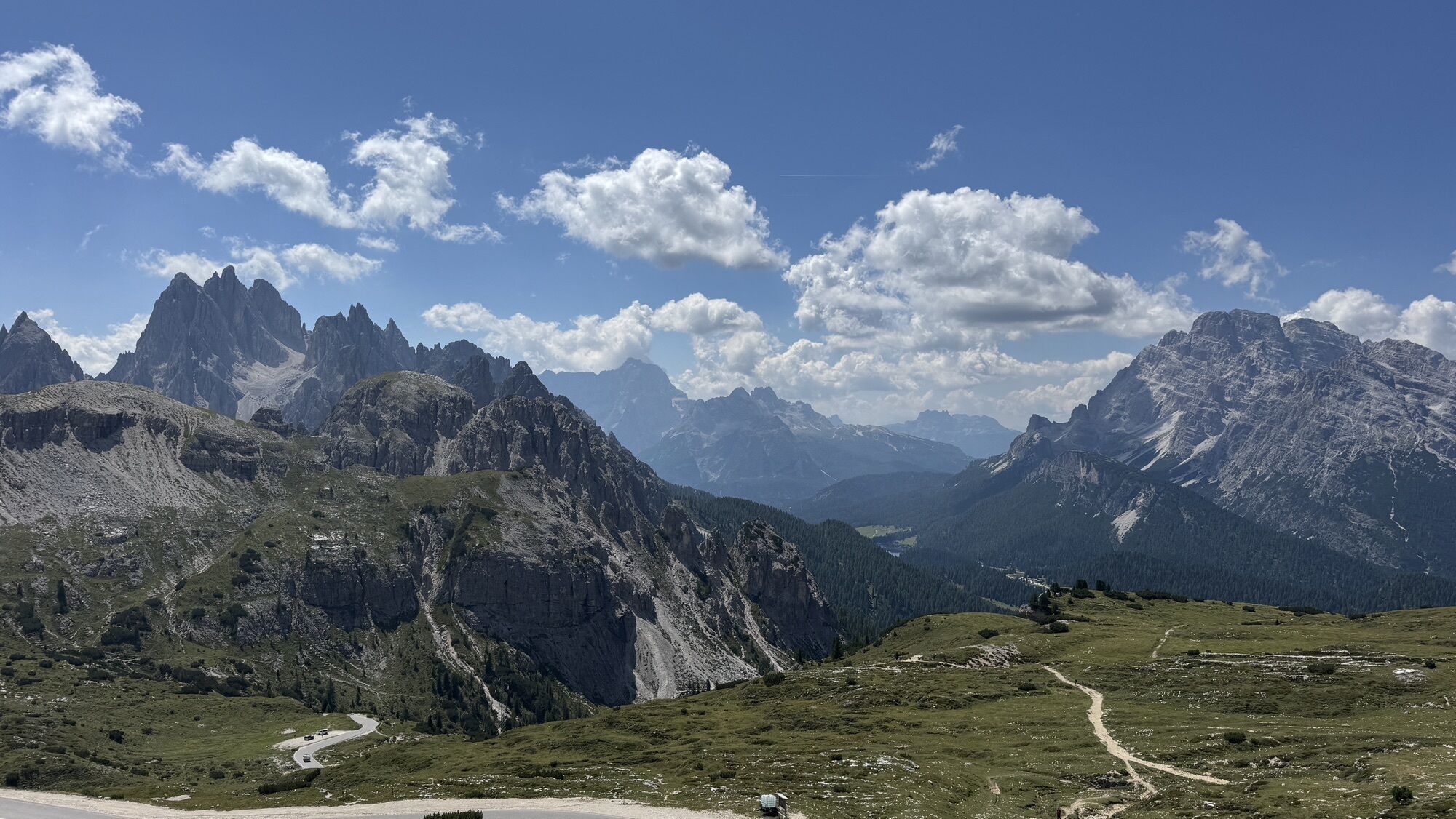
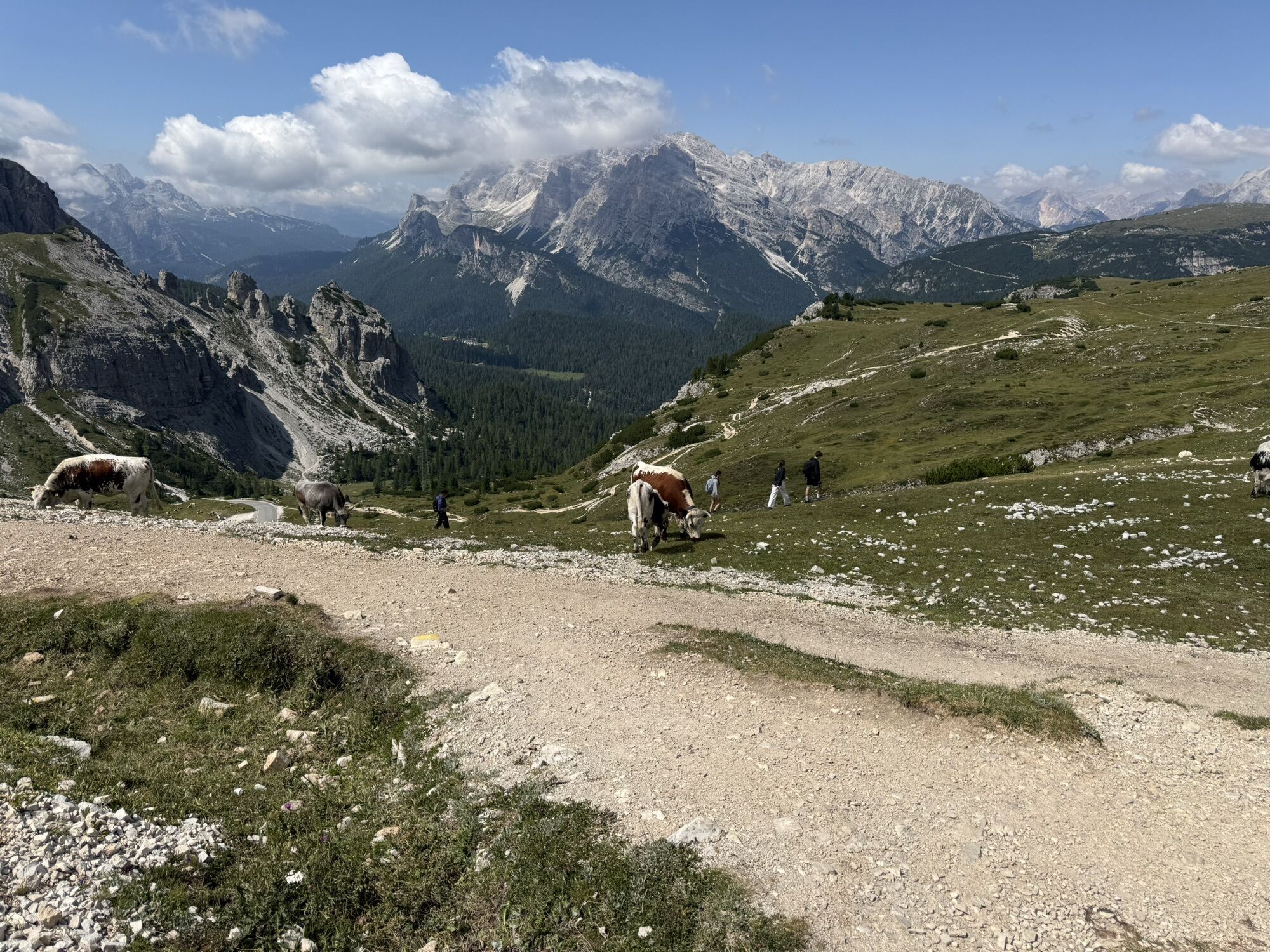
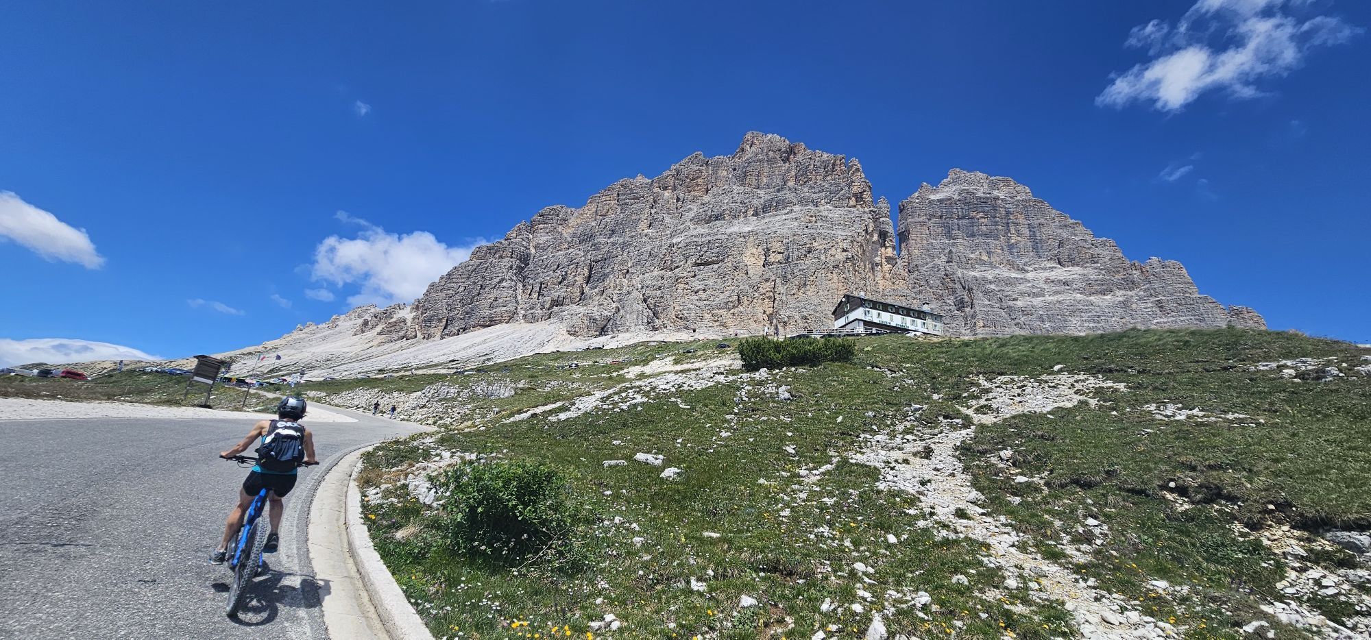
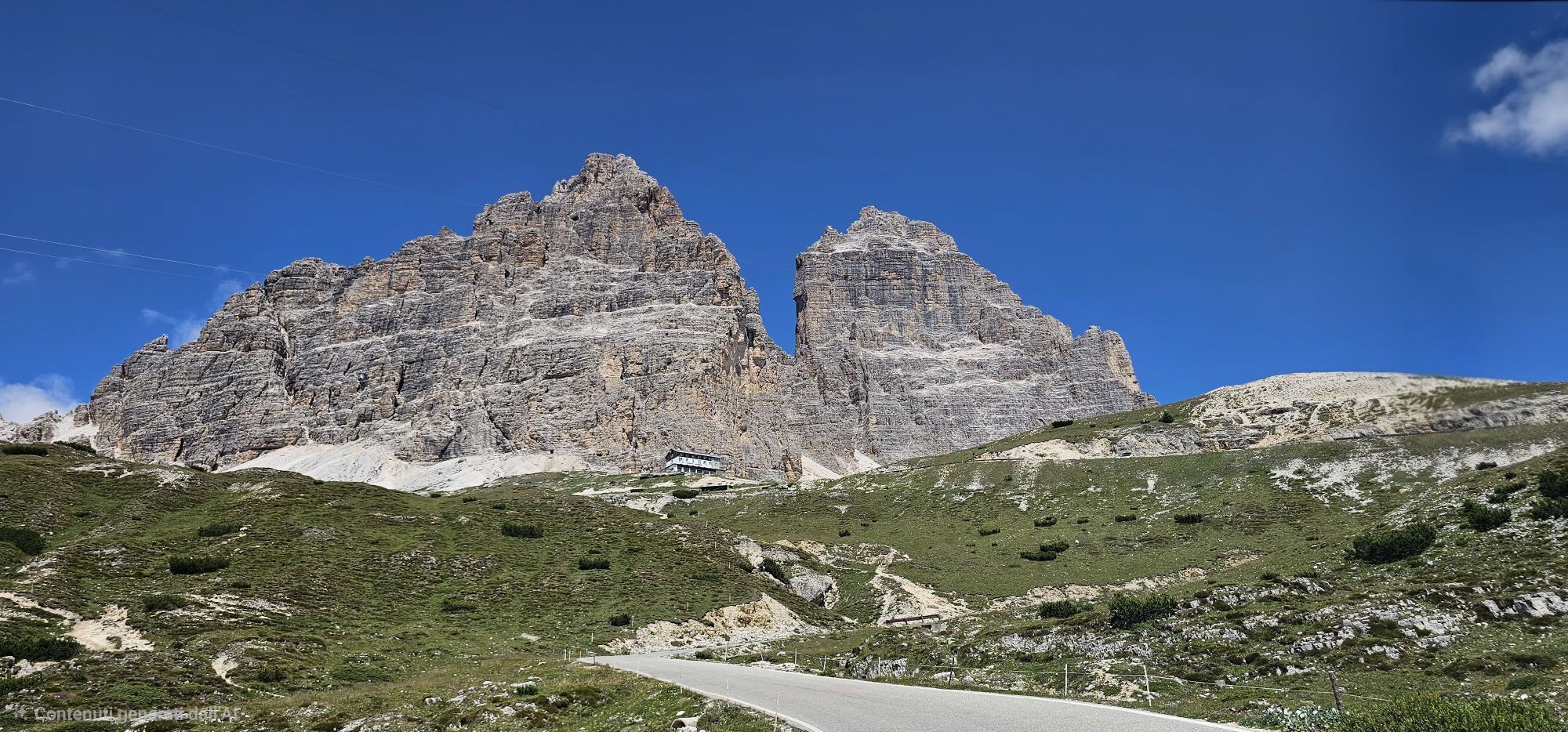
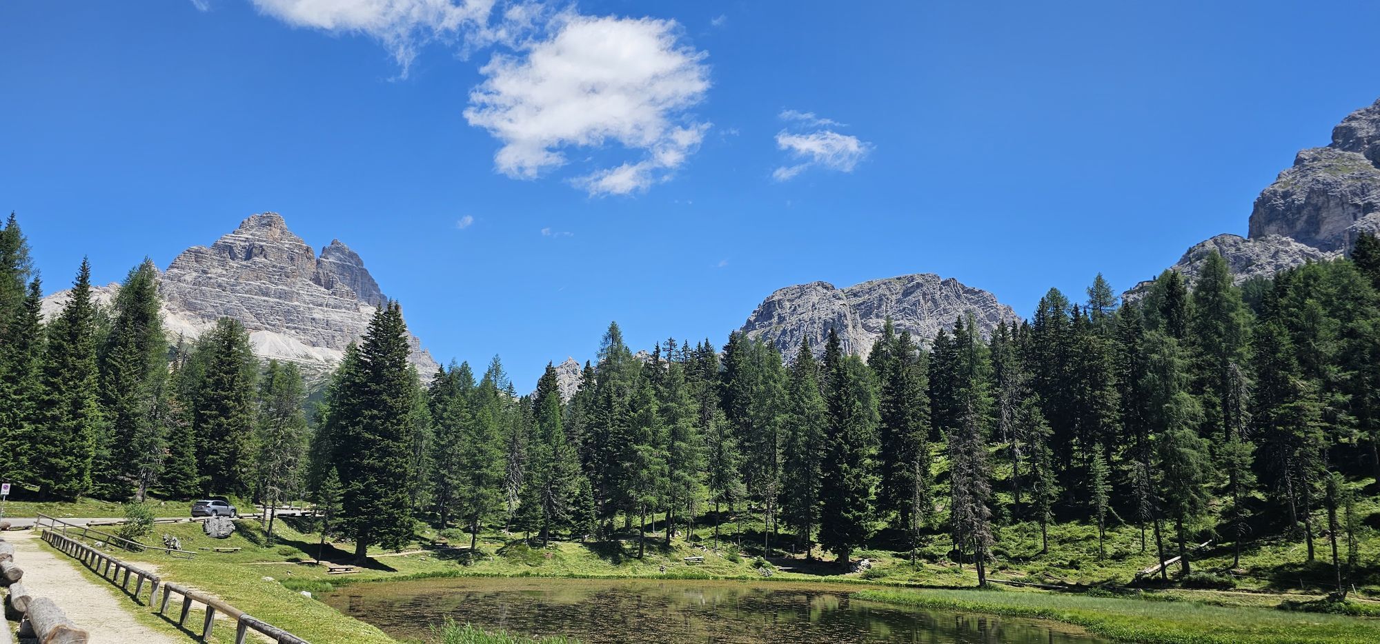
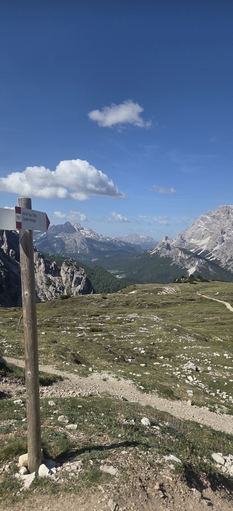
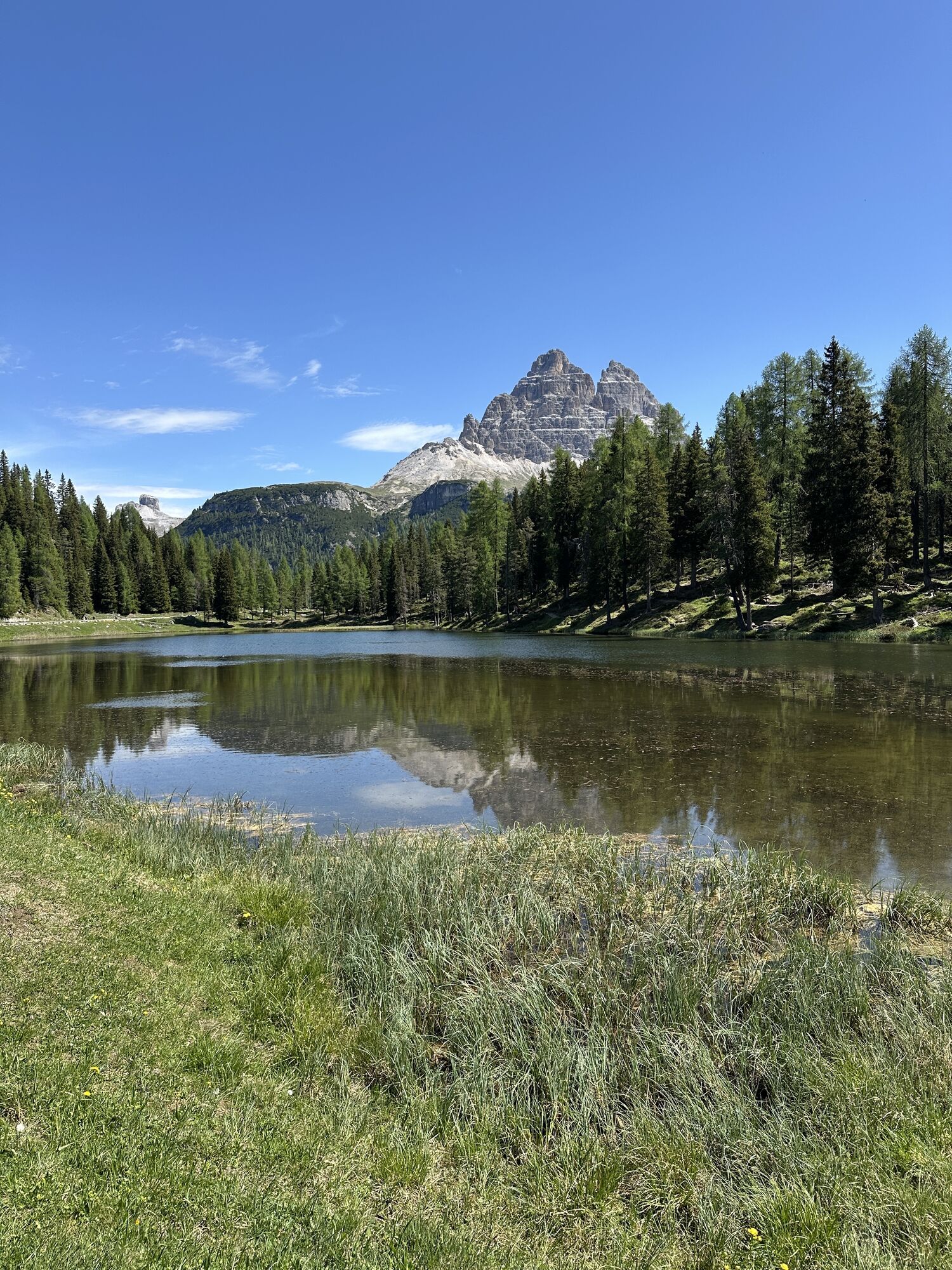
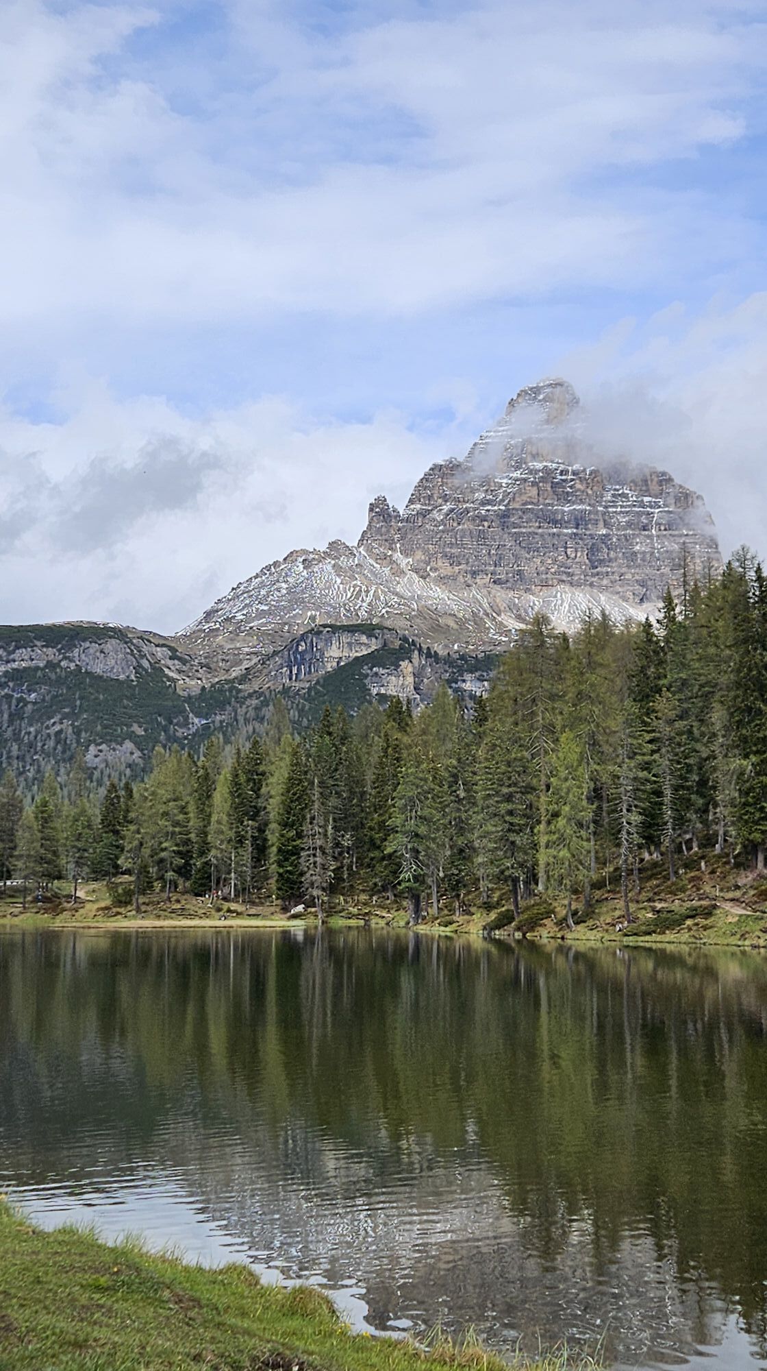
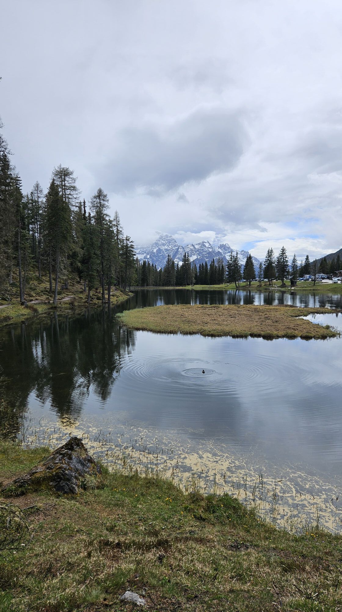

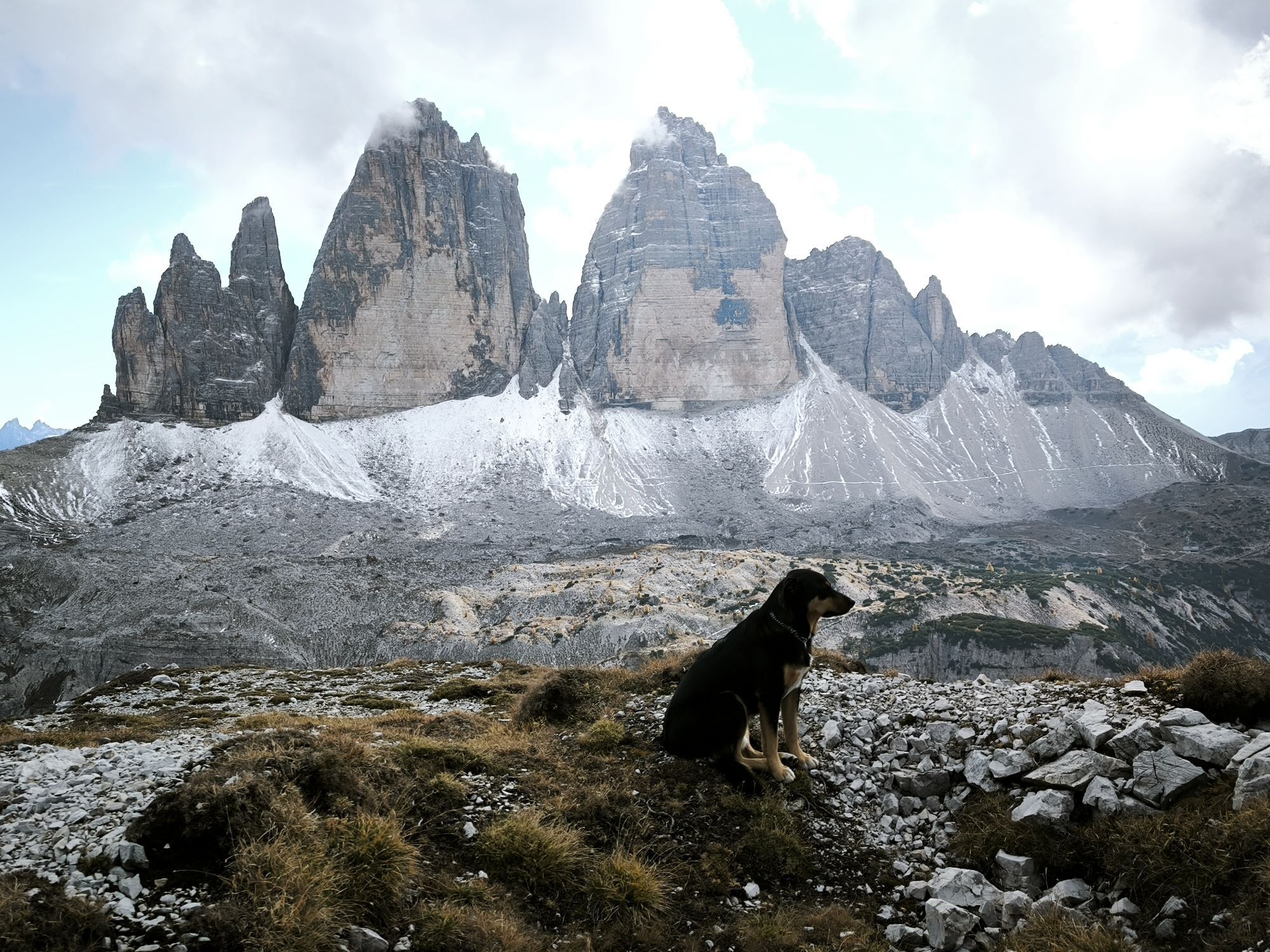
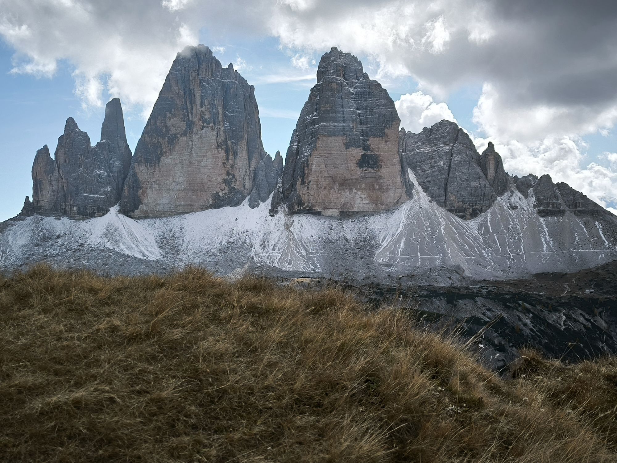
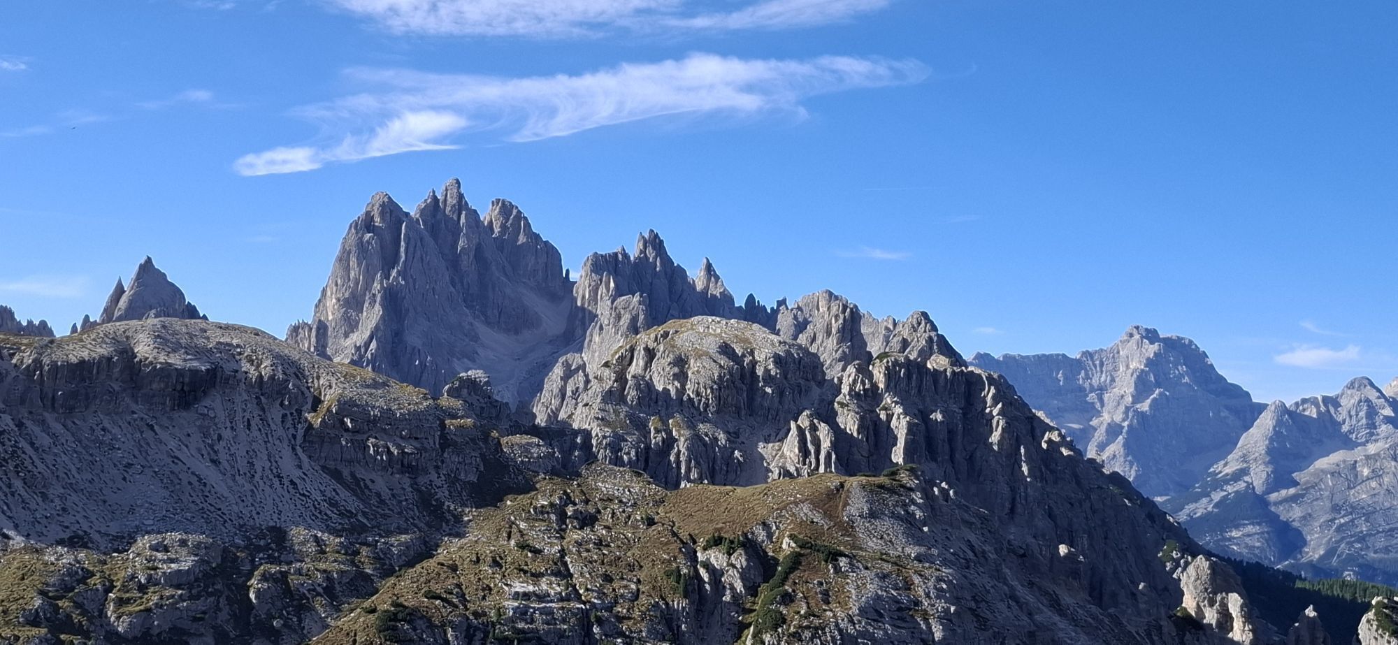
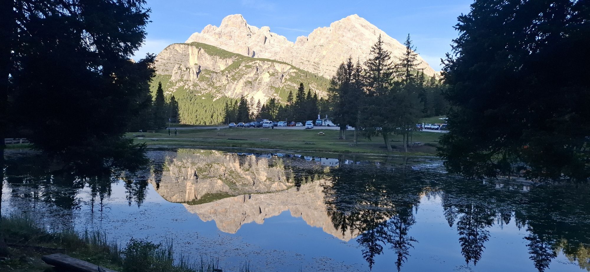
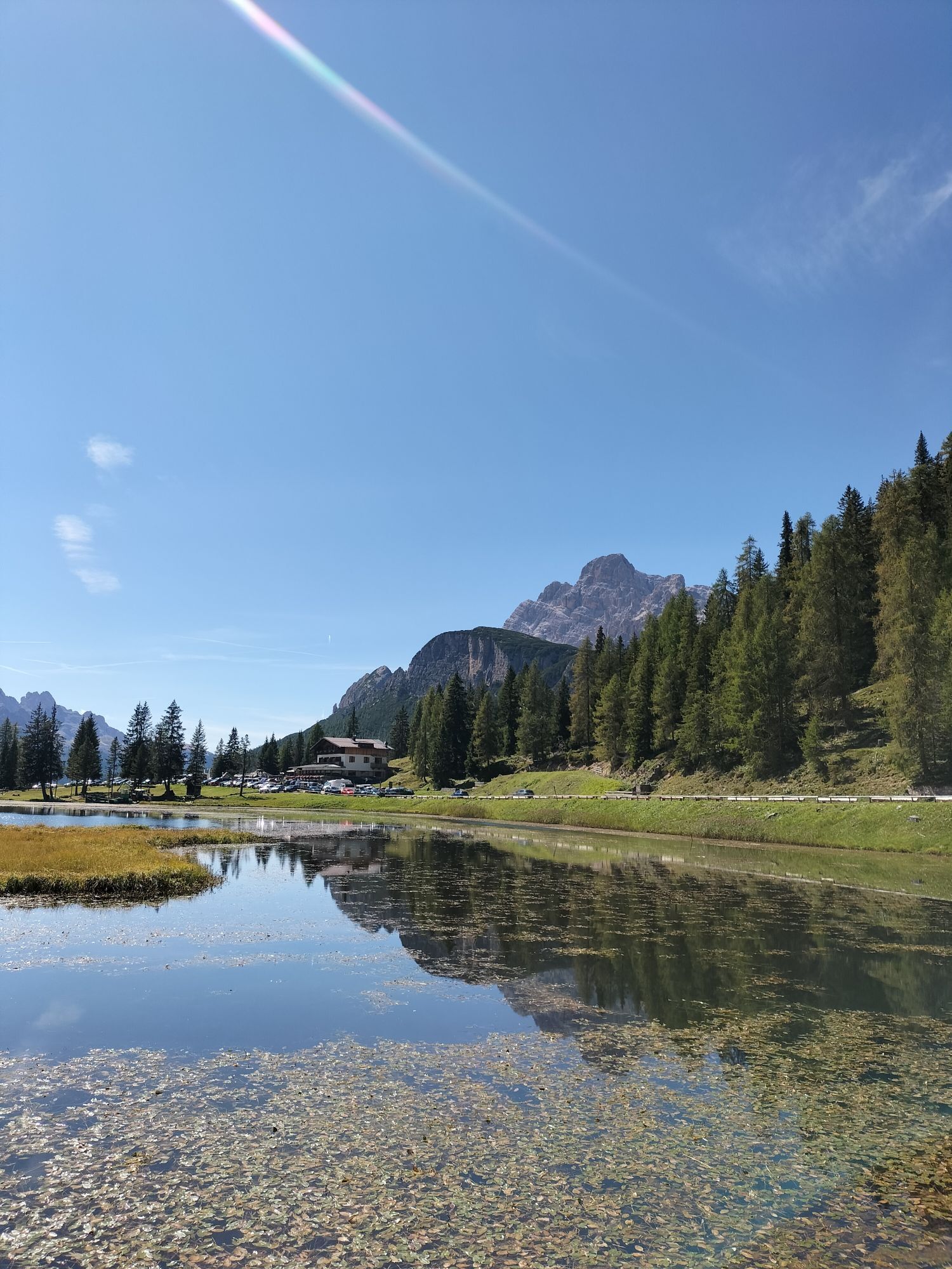

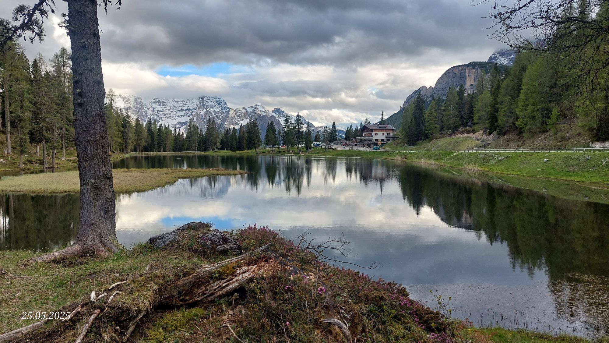
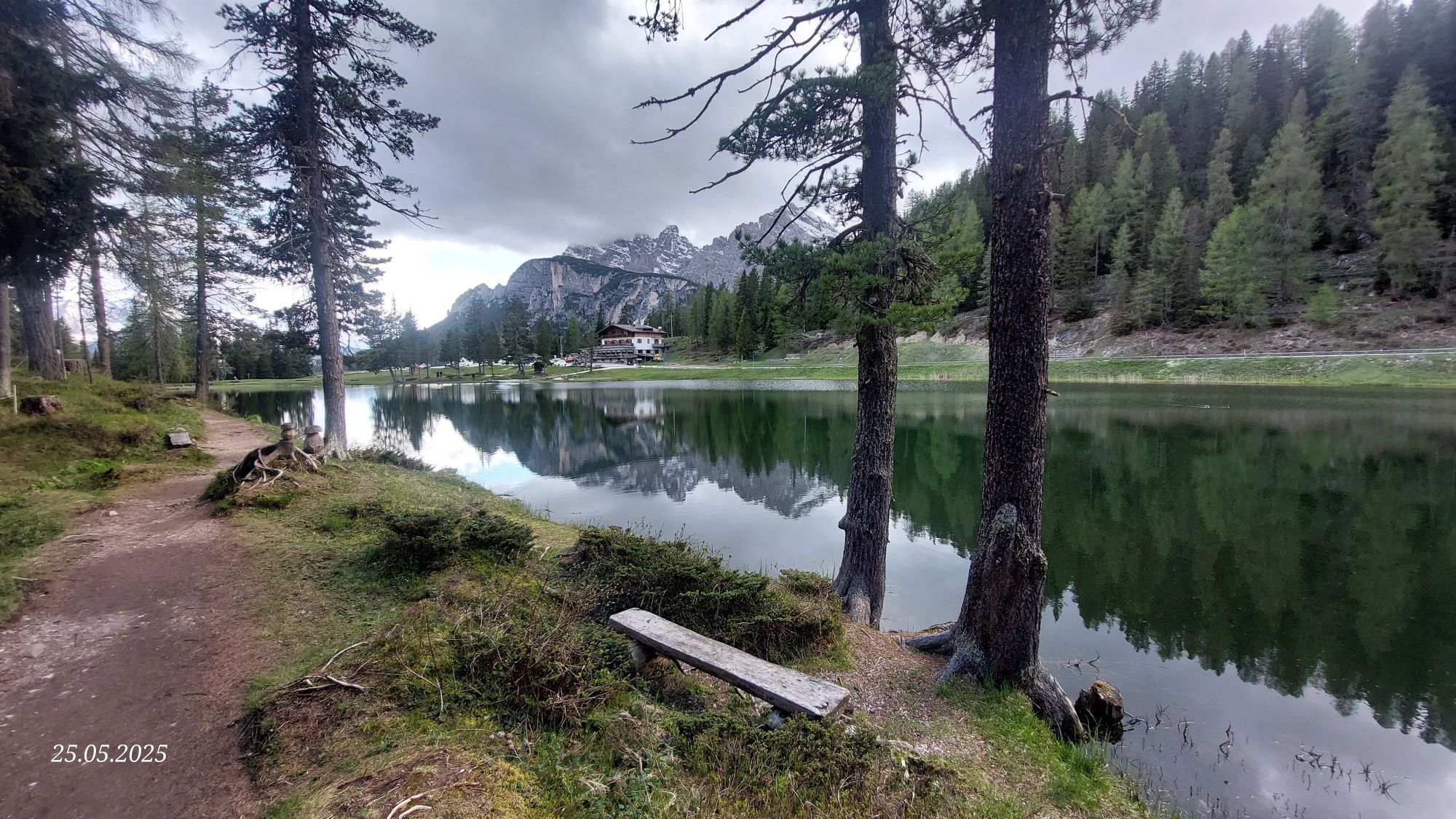

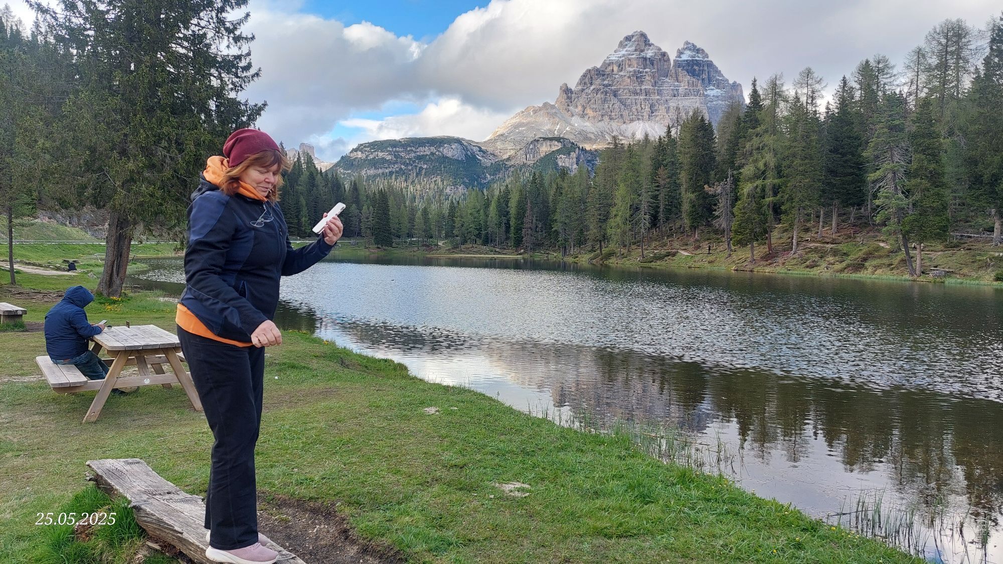
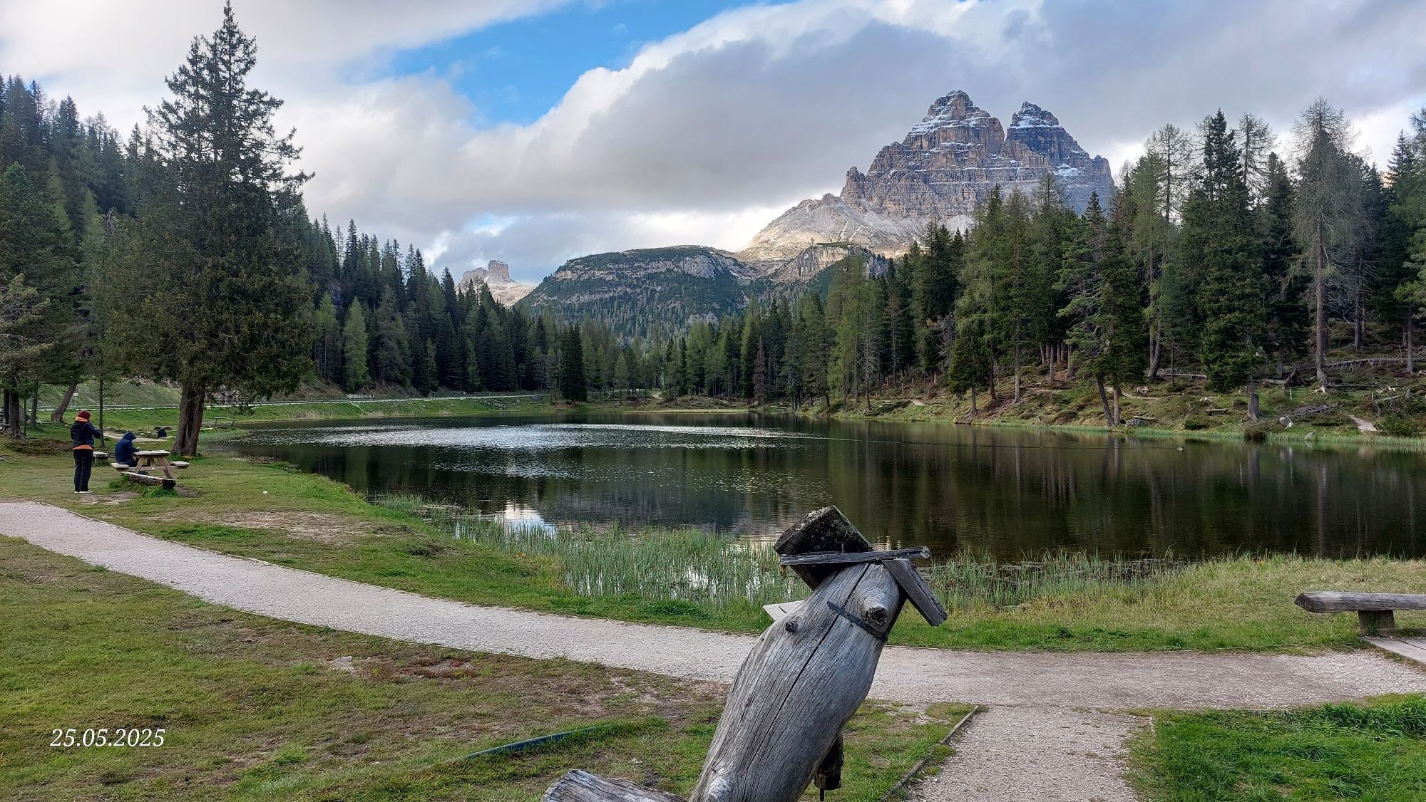


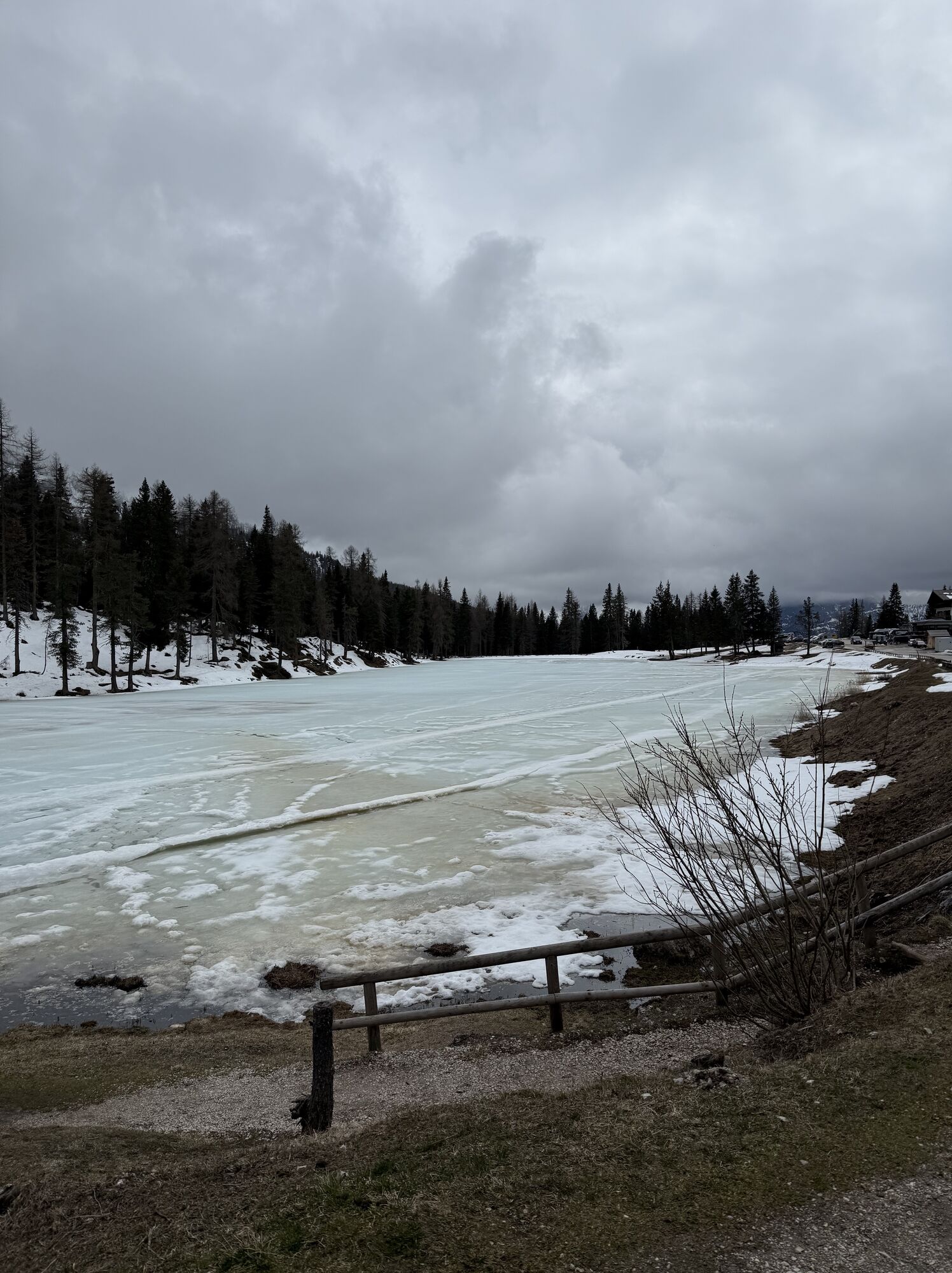
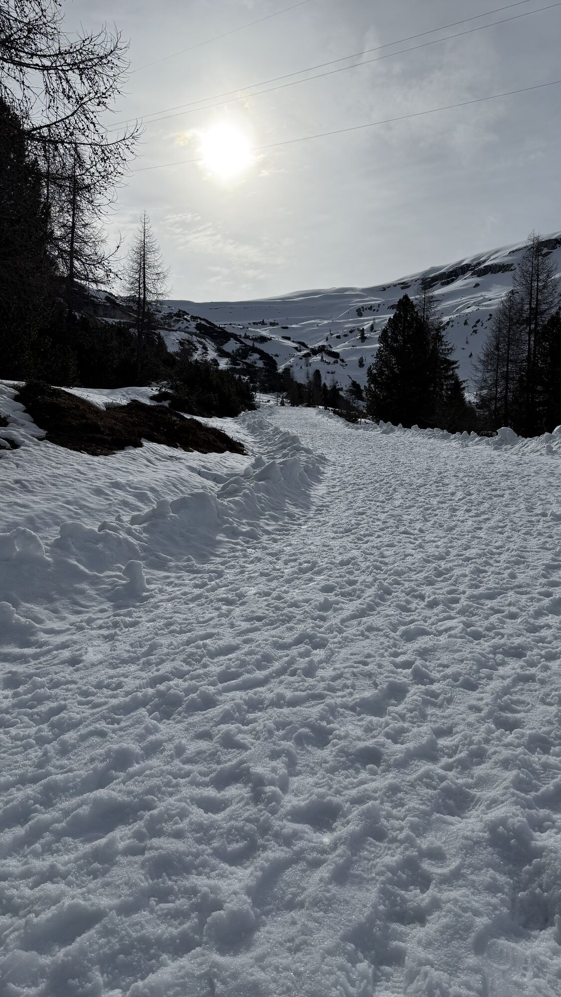


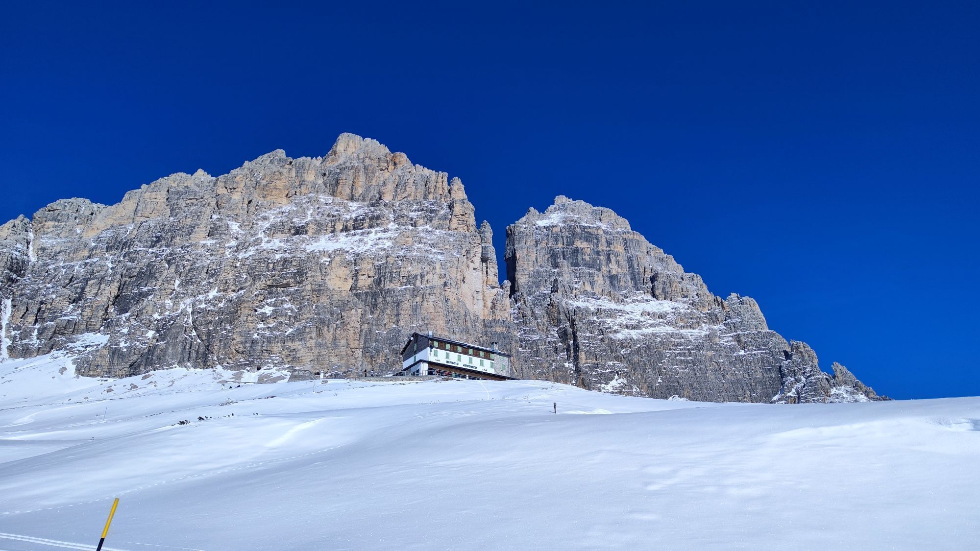
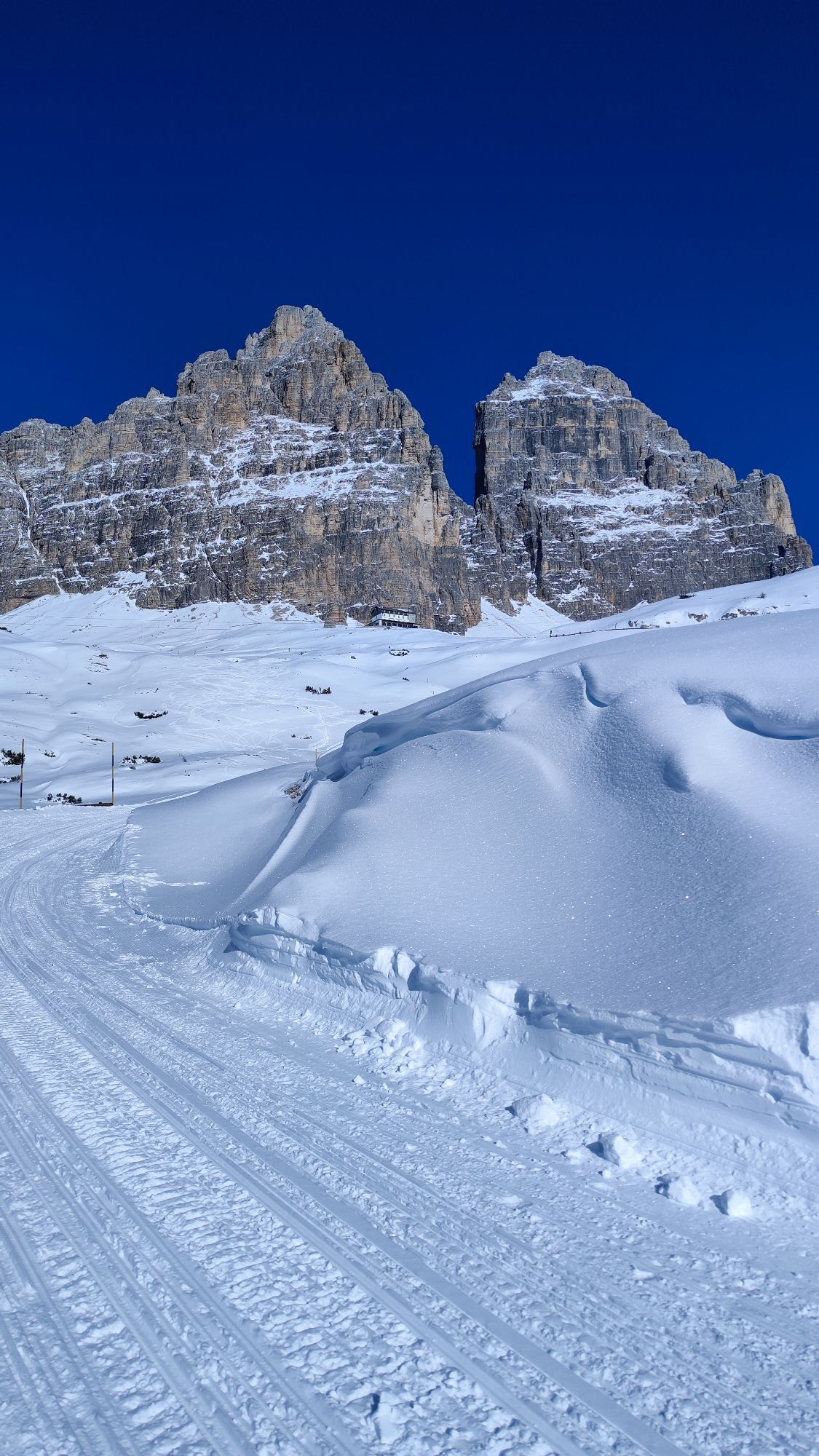
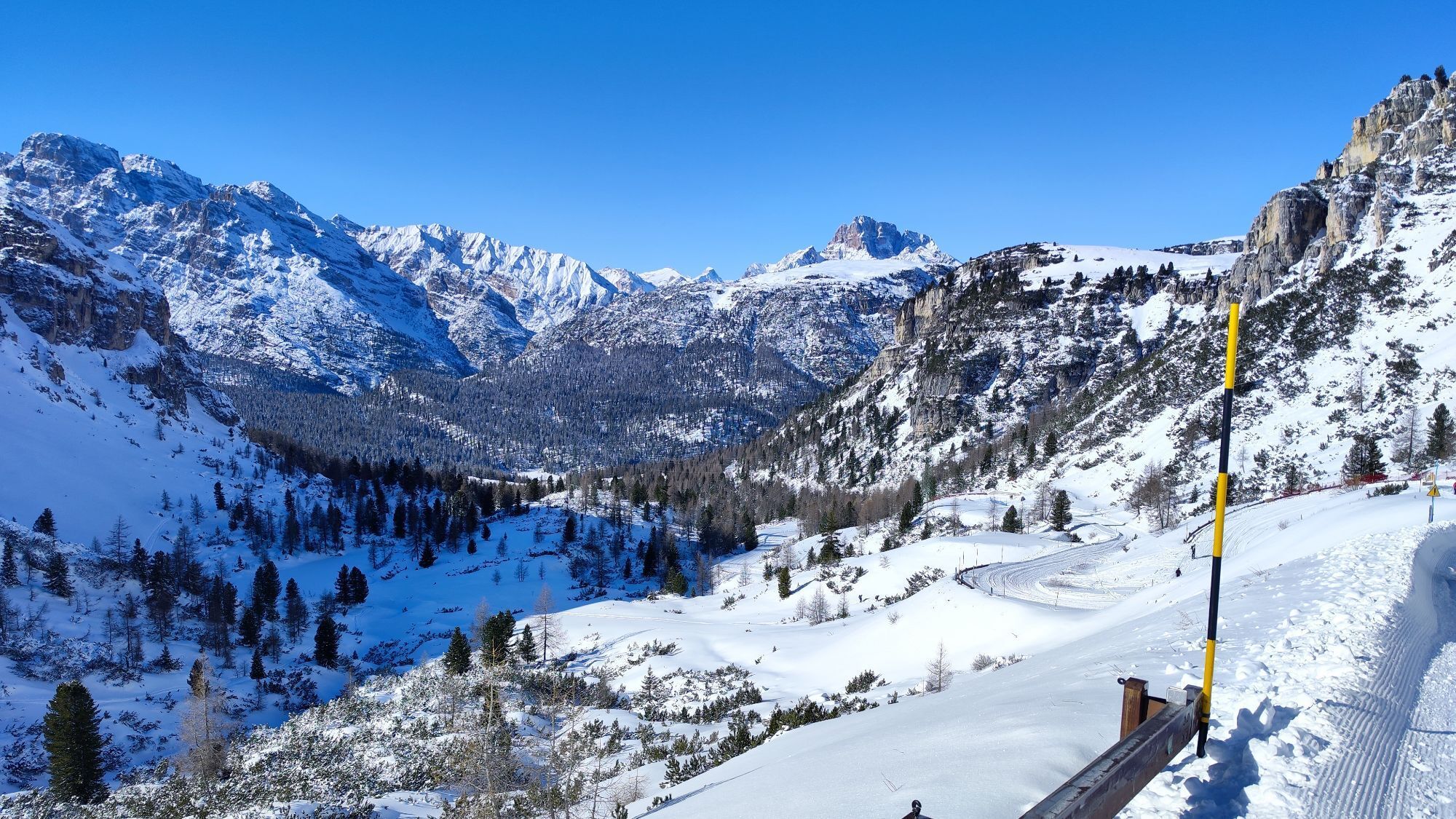
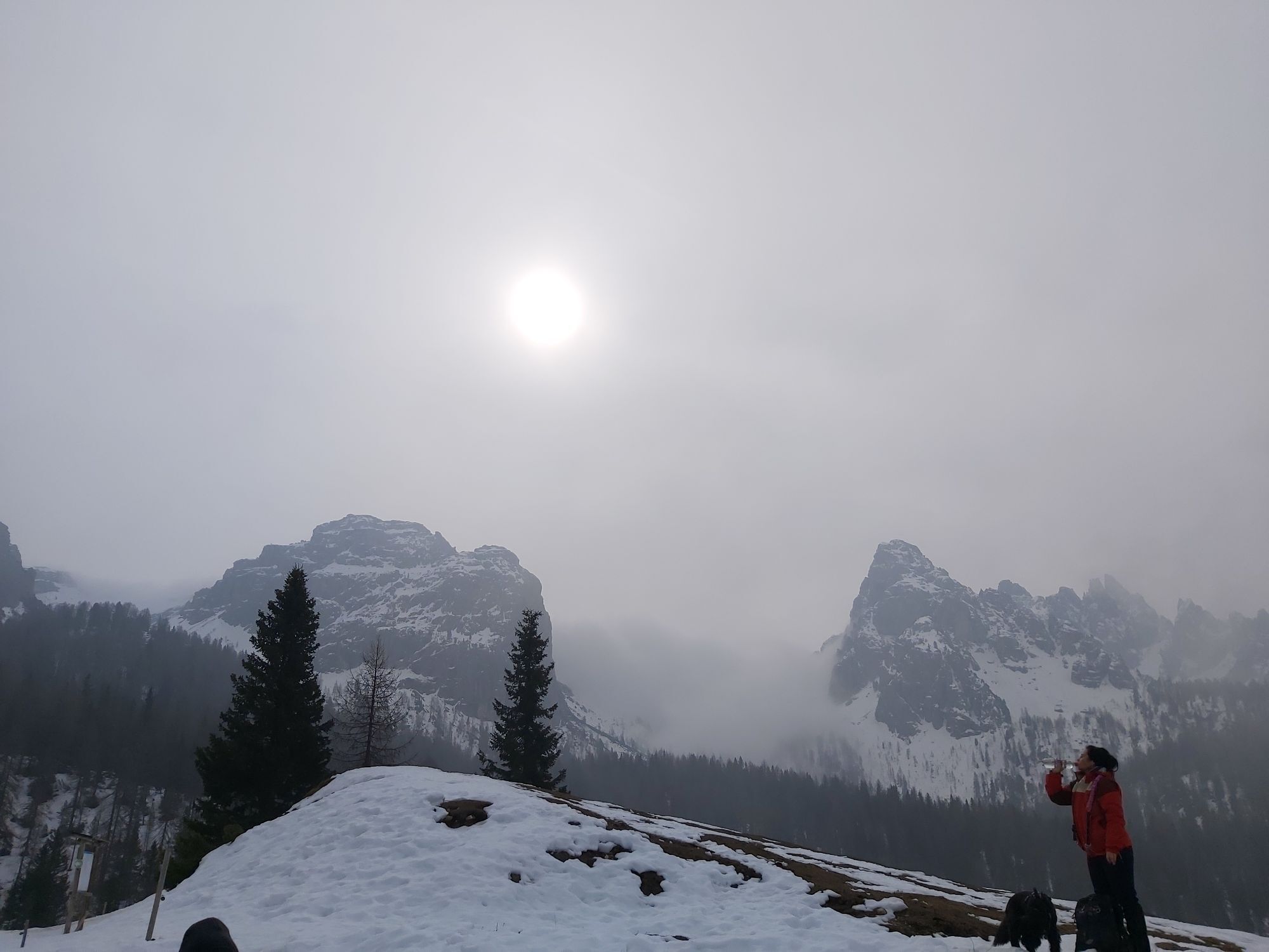
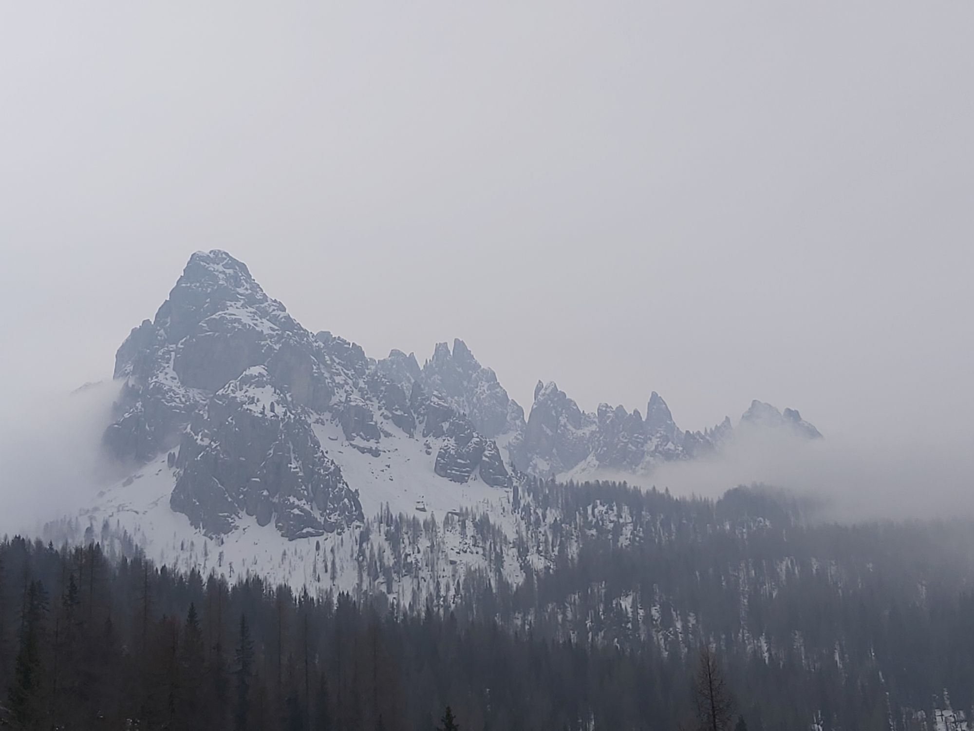
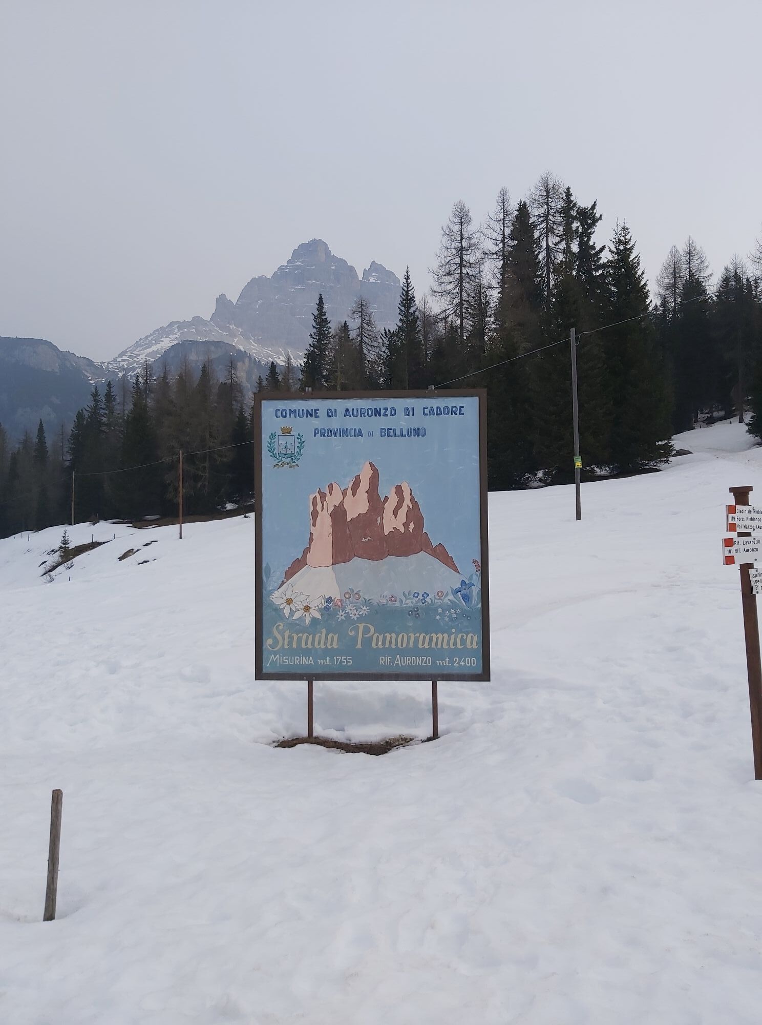
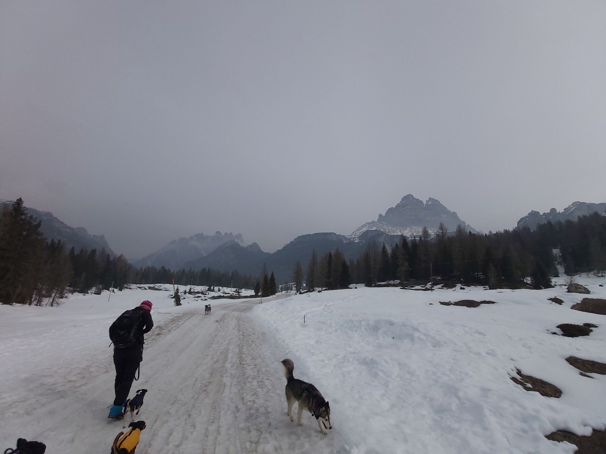
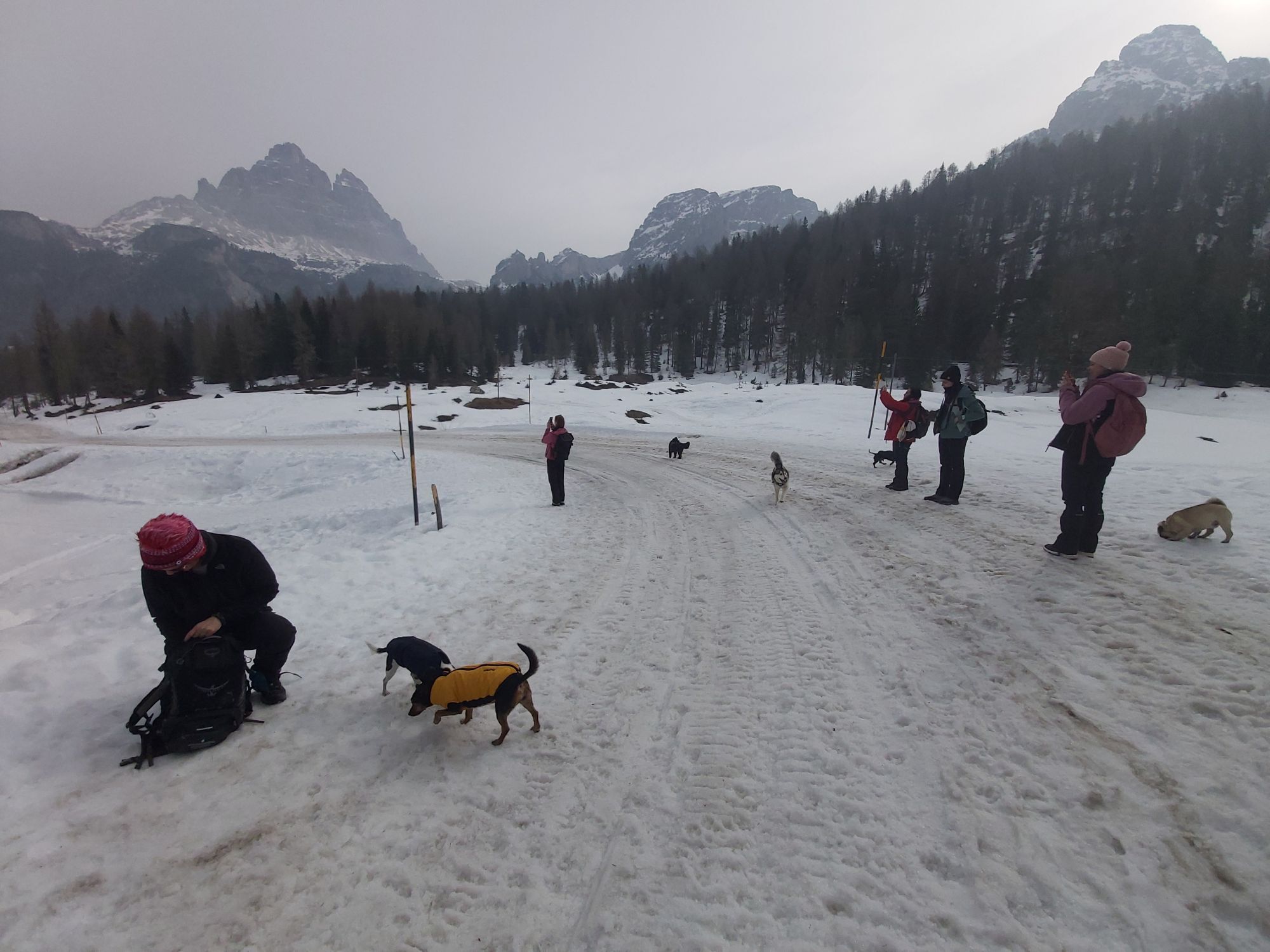
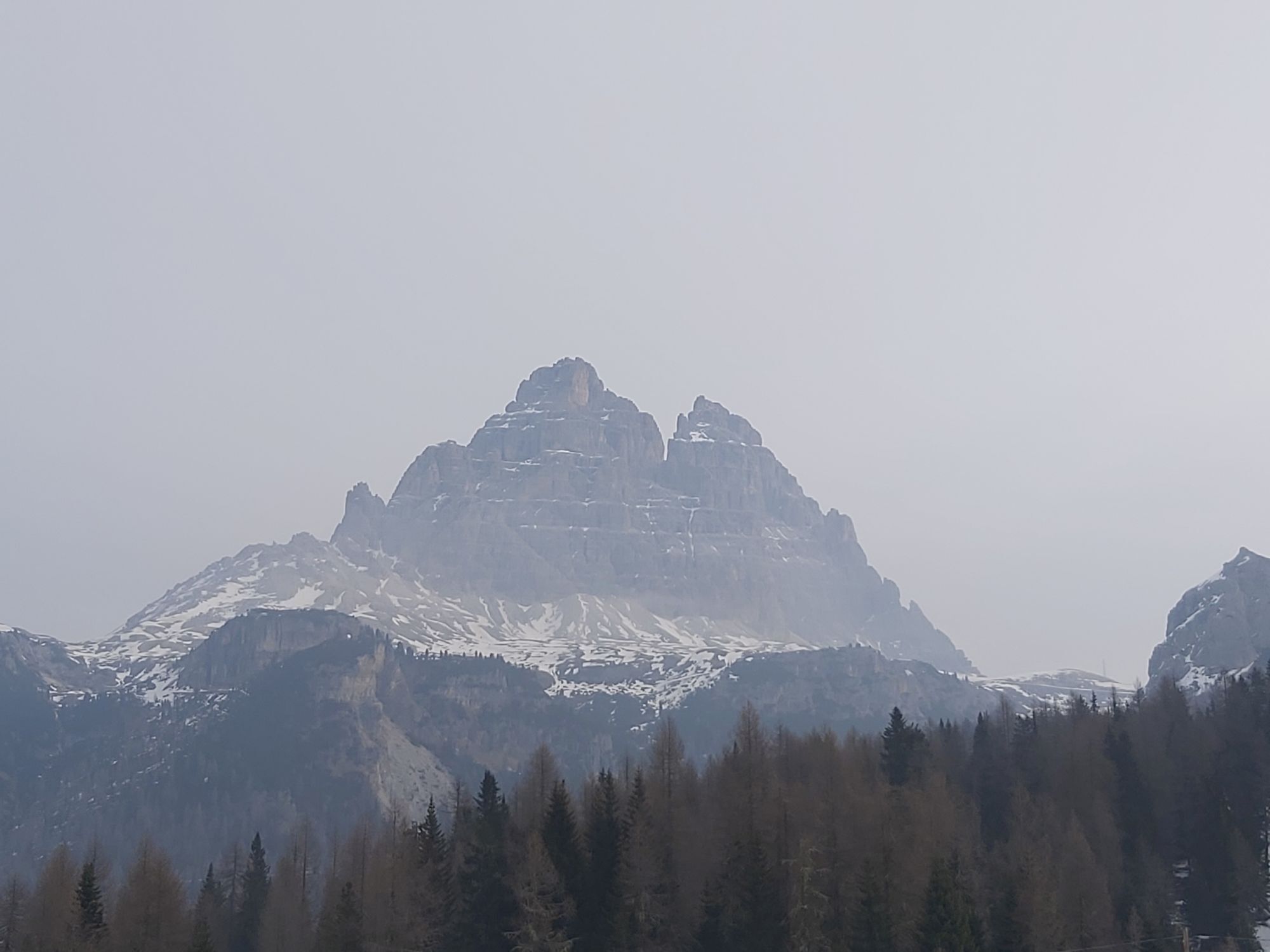
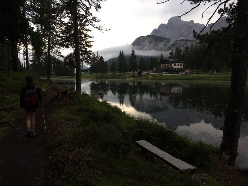

The ascent to the Tre Cime di Lavaredo is one of the most iconic and fascinating cycling routes in the Dolomites, capable of combining extraordinary landscapes and legendary pages of great cycling. The...
Under heavy snowfall and in extreme conditions, Eddy Merckx conquered the Auronzo Refuge with a heroic performance that definitively marked the birth of the "Cannibal." On these extremely hard ramps he inflicted impressive detachments on the great champions of the time, forever entering the legend of the Corsa Rosa.
Today facing this climb means pedaling along one of the world symbols of cycling. After Lake Misurina the road soars with severe gradients and spectacular stretches to the Auronzo Refuge, at the foot of the majestic Tre Cime. Every bend offers unforgettable views of the UNESCO Dolomites and conveys all the epicness of a mountain that has become sacred to every cyclist.



From Misurina follow SP49 in the direction of Tre Cime di Lavaredo. After Lago d'Antorno the most challenging section begins with very steep ramps to the Auronzo Refuge.
Áno
Racing bike with agile ratios recommended, helmet compulsory, lights, windproof and clothing suitable for rapid weather changes.
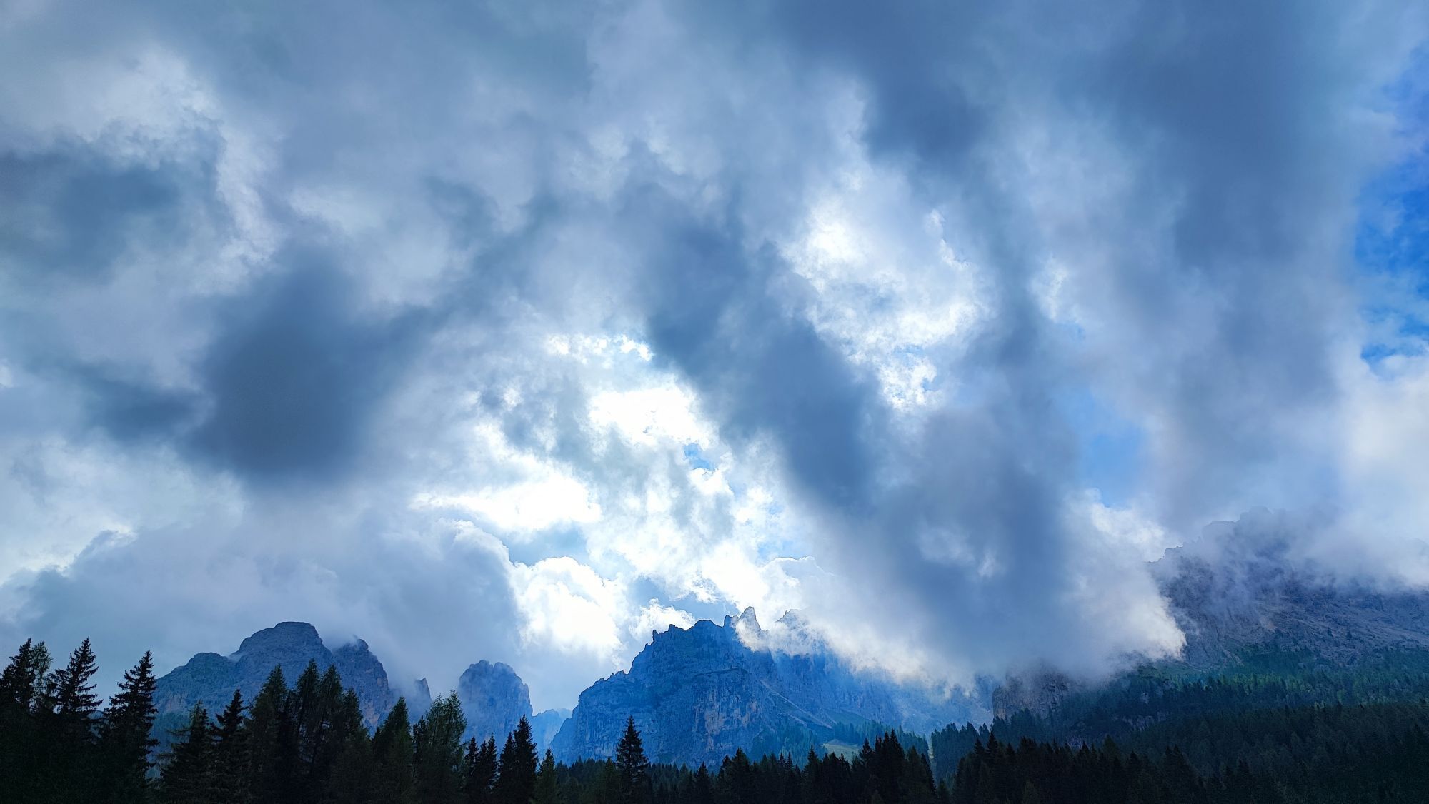
Pay attention to steep inclines in the final stretch and summer tourist traffic. Variable weather even in summer: low temperatures and wind possible at altitude.
Misurina is easily reached from Cortina or Auronzo.
Misurina is connected by bus from Cortina d'Ampezzo and Auronzo di Cadore. Check bike transport and seasonal schedules.
Parking available at Lake Misurina and Lake Antorno.
Face the climb in the early morning hours to enjoy the silence of the Dolomites and less traffic.
Aktivity počas prehliadky


Obľúbené výlety v okolí
-
4,9
Drei Zinnen
strednáTuristika 19,6 km -
4,9
#31: Paternkofel von Auronzohütte, und Schartenweg, B/C
ťažkéVia ferrata 15,7 km -
4,8
Rundtour Drei Zinnen | Sextner Dolomiten | Wandern Südtirol
strednáTuristika 10,1 km -
4,8
Fischleintal zu den 3 Zinnen Hütte mit Besteigung des Sextner Steins
strednáTuristika 16,2 km -
4,7
Lago di Sorapis
strednáHorská turistika 13,6 km -
4,8
Rotwandwiesen kreuzbergpass rundweg
strednáTuristika 12,0 km -
4,9
Durch das Rienztal zu den drei Zinnen
svetloTuristika 11,8 km -
4,8
Seerunde
svetloTuristika 2,66 km -
4,8
Rundweg um die drei Zinnen
svetloTuristika 7 km -
4,6
Lago di Sorapis A/R
strednáTuristika 16,4 km
Turistika a stopovanie


Nenechajte si ujsť ponuky a inšpiráciu na ďalšiu dovolenku
Vaša e-mailová adresa bol pridaný do poštového zoznamu.





