


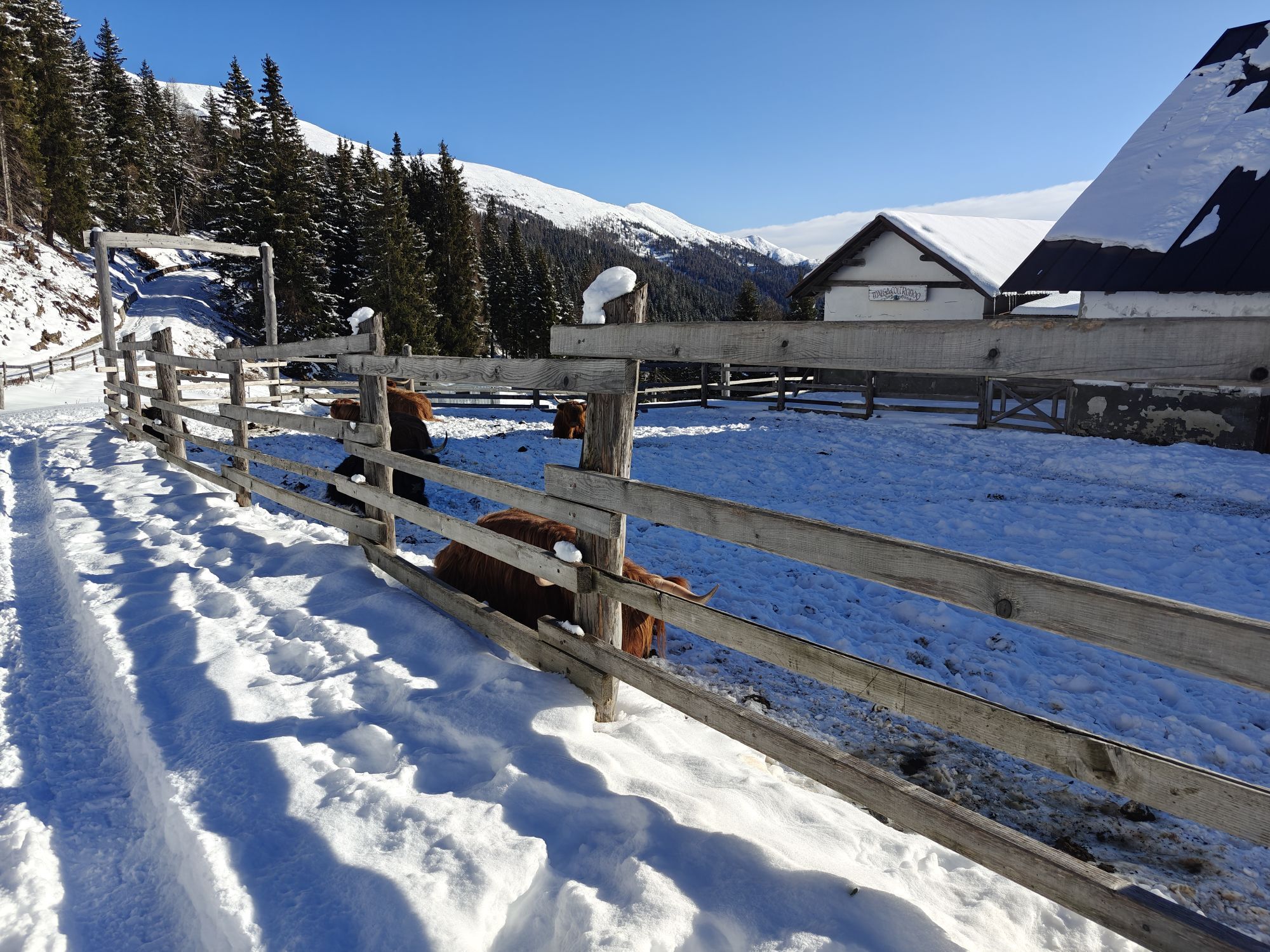
Passo di Sant'Antonio and Passo di Monte Croce Comelico
Úroveň náročnosti: 3
This cycling route crosses the Dolomites along the route of the historic Rocca Pietore-Dobbiaco Giro d'Italia 1970, the scene of one of Franco "Cuore Matto" Bitossi's most exciting feats. With his characteristic...
This cycling route crosses the Dolomites along the route of the historic Rocca Pietore-Dobbiaco Giro d'Italia 1970, the scene of one of Franco "Cuore Matto" Bitossi's most exciting feats. With his characteristic jerky gait, the Tuscan rider managed to put even Eddy Merckx, the iconic man of that era, in trouble. The images of Bitossi standing still on the roadside with his hand pressed to his heart, supported by his teammates before managing to restart and continue the race, remain unforgettable. Today this route allows cycling through alpine valleys, forests and great Dolomite views along roads that have made cycling history. The route alternates between regular climbs and faster sections, offering an immersive experience between nature, hard work and sporting memory in the heart of the UNESCO Dolomites.

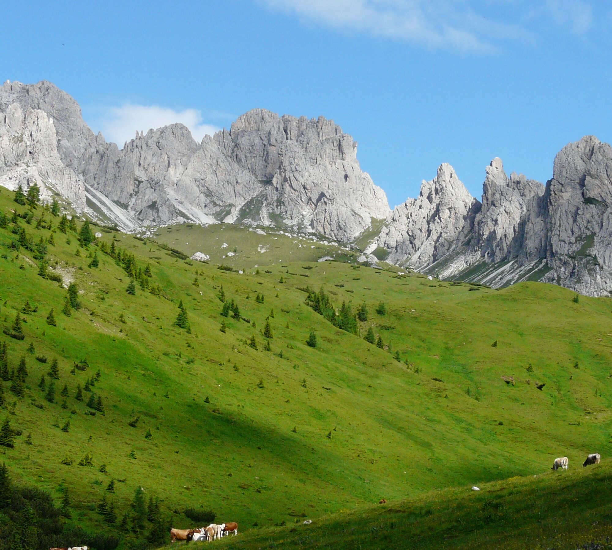
From Rocca Pietore, follow the Dolomite roadway northward through the alpine valleys toward Cortina d'Ampezzo and then on to Dobbiaco along the SS51 Alemagna road.
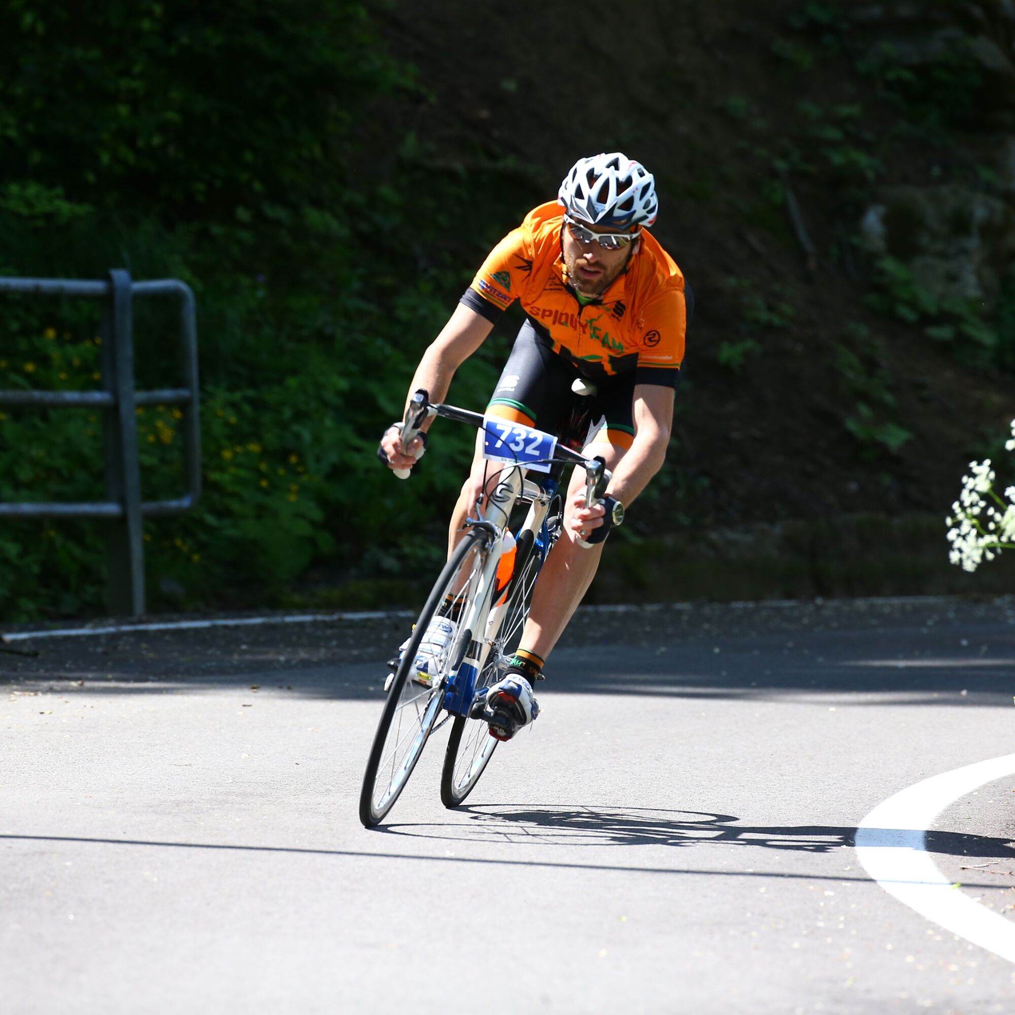
Road bike or e-bike, helmet, repair kit, lights, water bottles and technical clothing suitable for high altitude.
Pay attention to sudden changes in weather and fast descents.
From Bolzano follow the SS49 Val Pusteria to Dobbiaco or reach Cortina and continue along the SS51.
Active Dolomitibus connections between Belluno, Agordo, Rocca Pietore and Cortina d'Ampezzo. Toblach can also be reached by train via the Val Pusteria railway line.
3
The final stretch to Toblach provides spectacular views and all the historic atmosphere of the great Giro.
Webové kamery z prehliadky
-
Tempele
-
Toblach
-
Sexten/ Fischleintal
-
Innichen Stifts- und St.Michaelskirche
-
Toblach - Langlaufstadion / Hotel Santer
-
Stiergarten / Drei Zinnen Dolomiten
-
Stiergarten / Drei Zinnen Dolomiten
-
Stiergarten / Drei Zinnen Dolomiten
-
Stiergarten / Drei Zinnen Dolomiten
-
Stiergarten / Drei Zinnen Dolomiten
-
Auronzo di Cadore
-
Kreuzbergpass
-
Kreuzbergpass
-
Kreuzbergpass
-
Kreuzbergpass
-
Kabinenbahn Signaue
-
Kabinenbahn Signaue
-
Kabinenbahn Signaue
-
Kabinenbahn Signaue
-
Sexten - Chalets Rotwandwiesen
-
Sexten - Chalets Rotwandwiesen
-
Rotwand Bergstation
-
Cima Canale
Obľúbené výlety v okolí
-
4,9
Drei Zinnen
strednáTuristika 19,6 km -
4,8
Fischleintal zu den 3 Zinnen Hütte mit Besteigung des Sextner Steins
strednáTuristika 16,2 km -
4,5
Kartitsch-Obstansersee Hütte
strednáTuristika 13,1 km -
4,8
Rotwandwiesen kreuzbergpass rundweg
strednáTuristika 12,0 km -
3,9
Rotwandspitze
strednáVia ferrata 10,6 km -
5,0
Porzehütte (1.942 m)
svetloTuristika 9,01 km -
5,0
Carnic altitude trail. Stage 4: Porzehütte – Hochweißsteinhaus
ťažkéTuristika 17,5 km -
4,9
Fischleintalhütte - Rotwandwiesen - Rotwandköpfe - Talschlusshütte- Fischleintalhütte
strednáTuristika 13,4 km -
3,8
Karnischer Höhenweg KHW 403 - "Weg des Friedens"
strednáTuristika 46,7 km -
5,0
Paternkofel_Schartenweg
ťažkéVia ferrata 20,7 km
Turistika a stopovanie


Nenechajte si ujsť ponuky a inšpiráciu na ďalšiu dovolenku
Vaša e-mailová adresa bol pridaný do poštového zoznamu.