






"Passo San Pellegrino" route

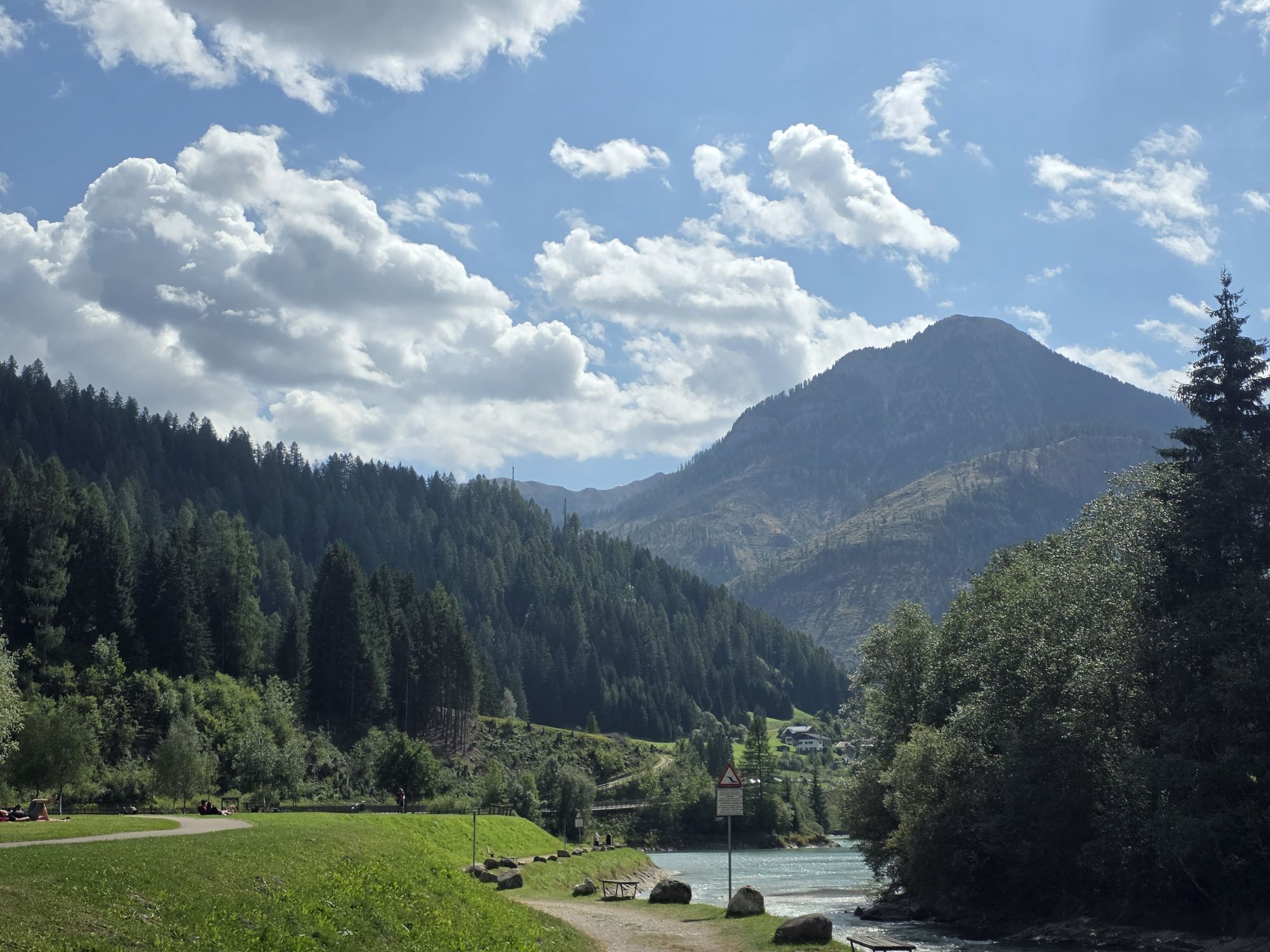
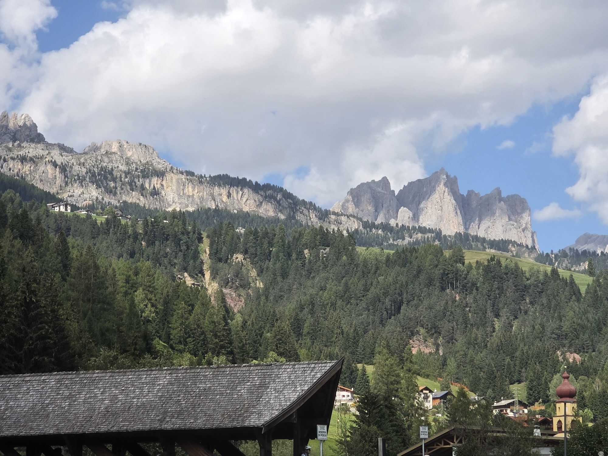
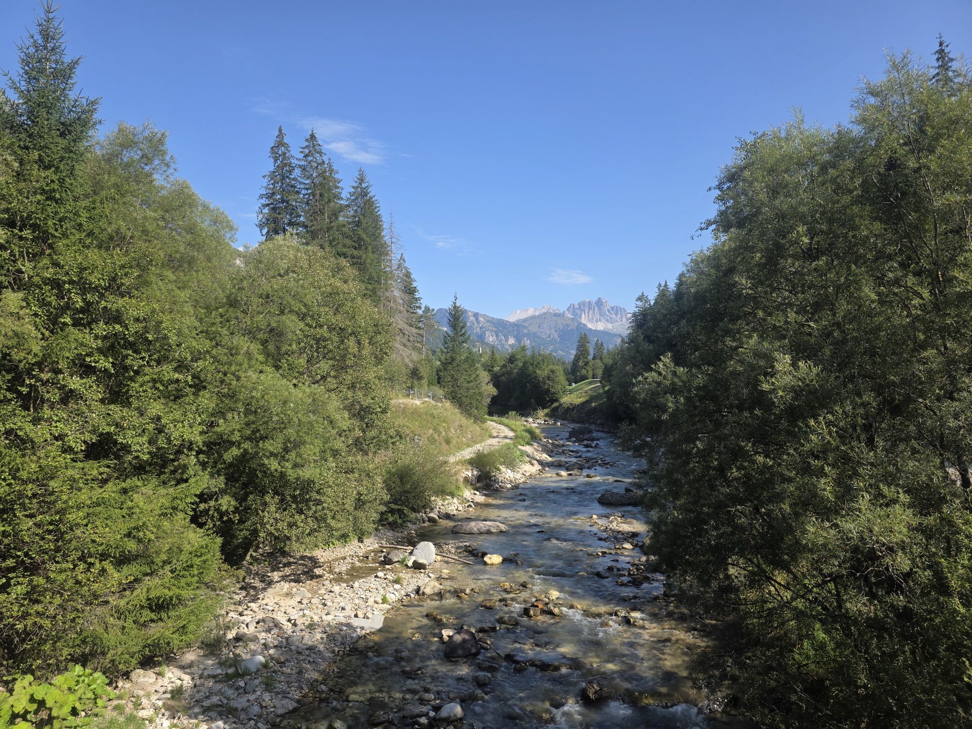
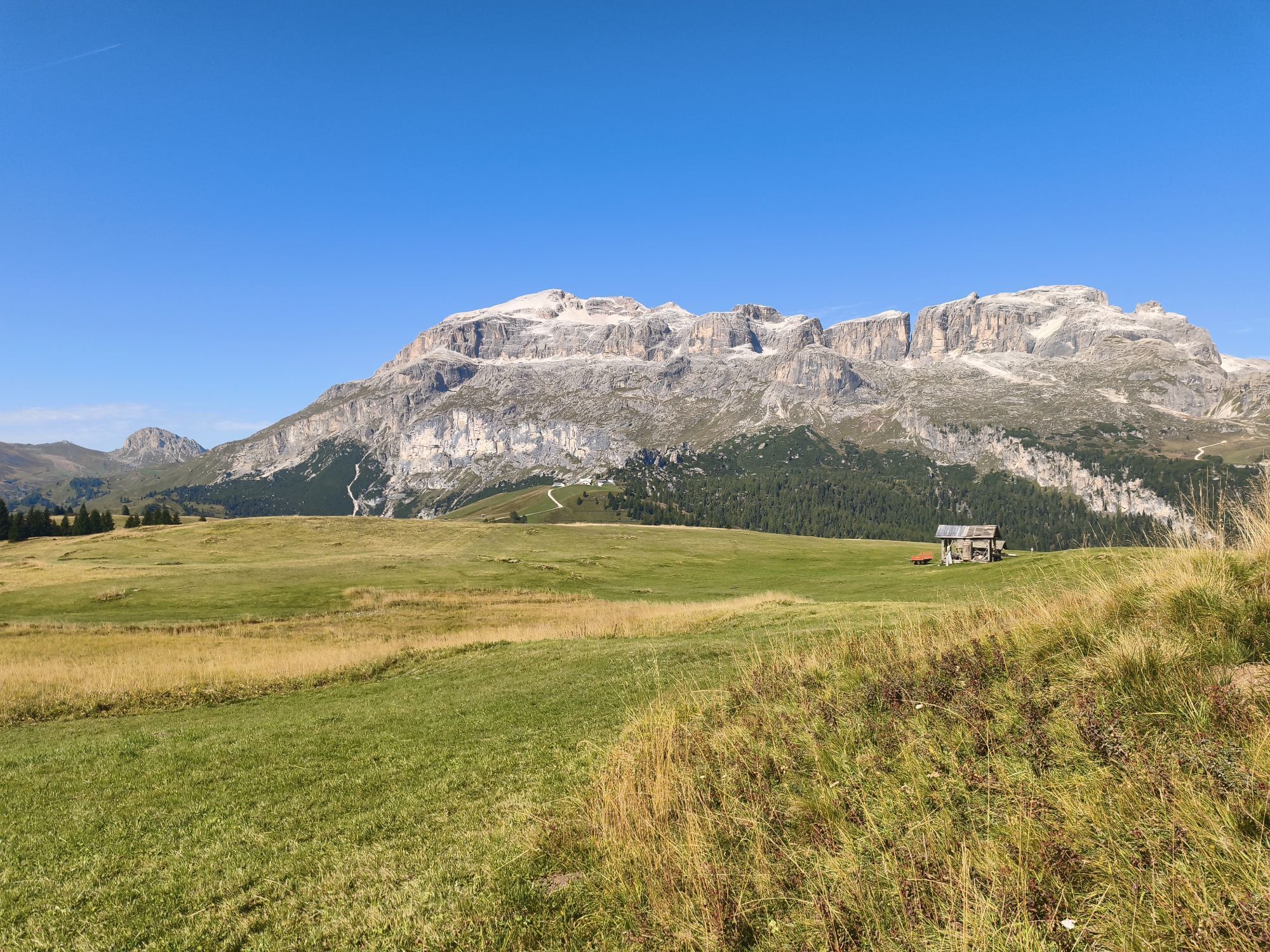

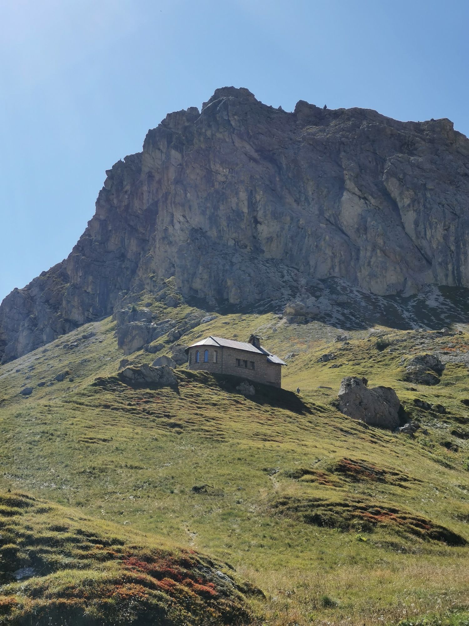
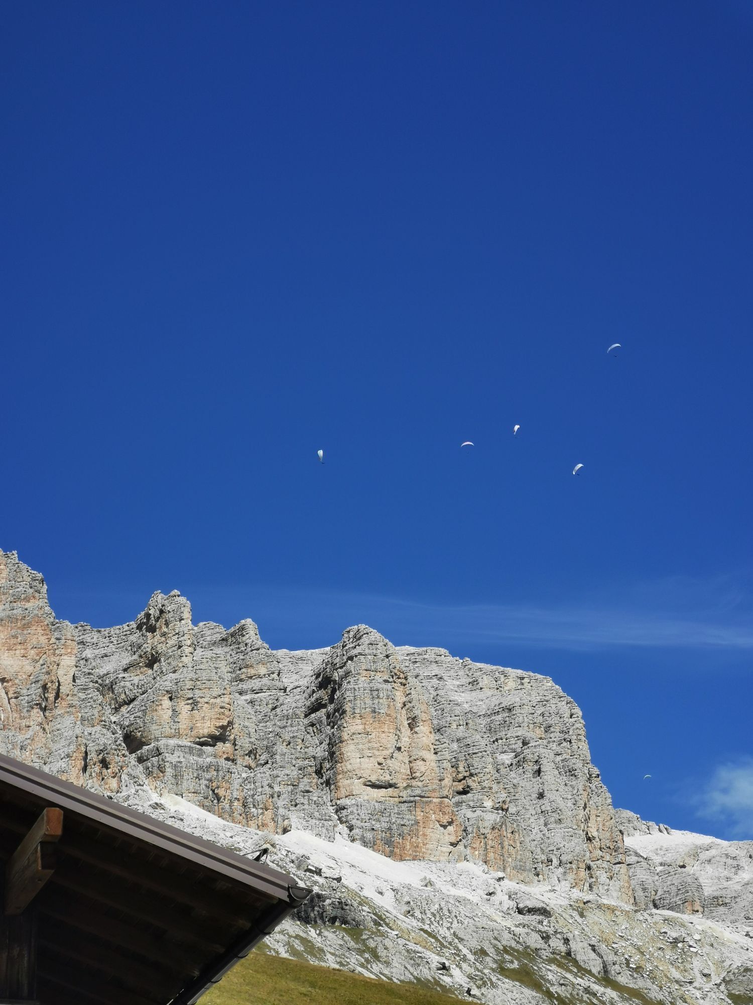
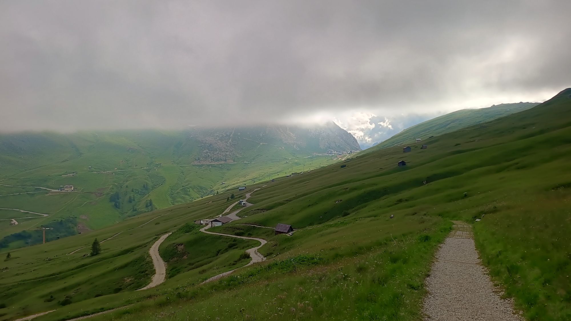
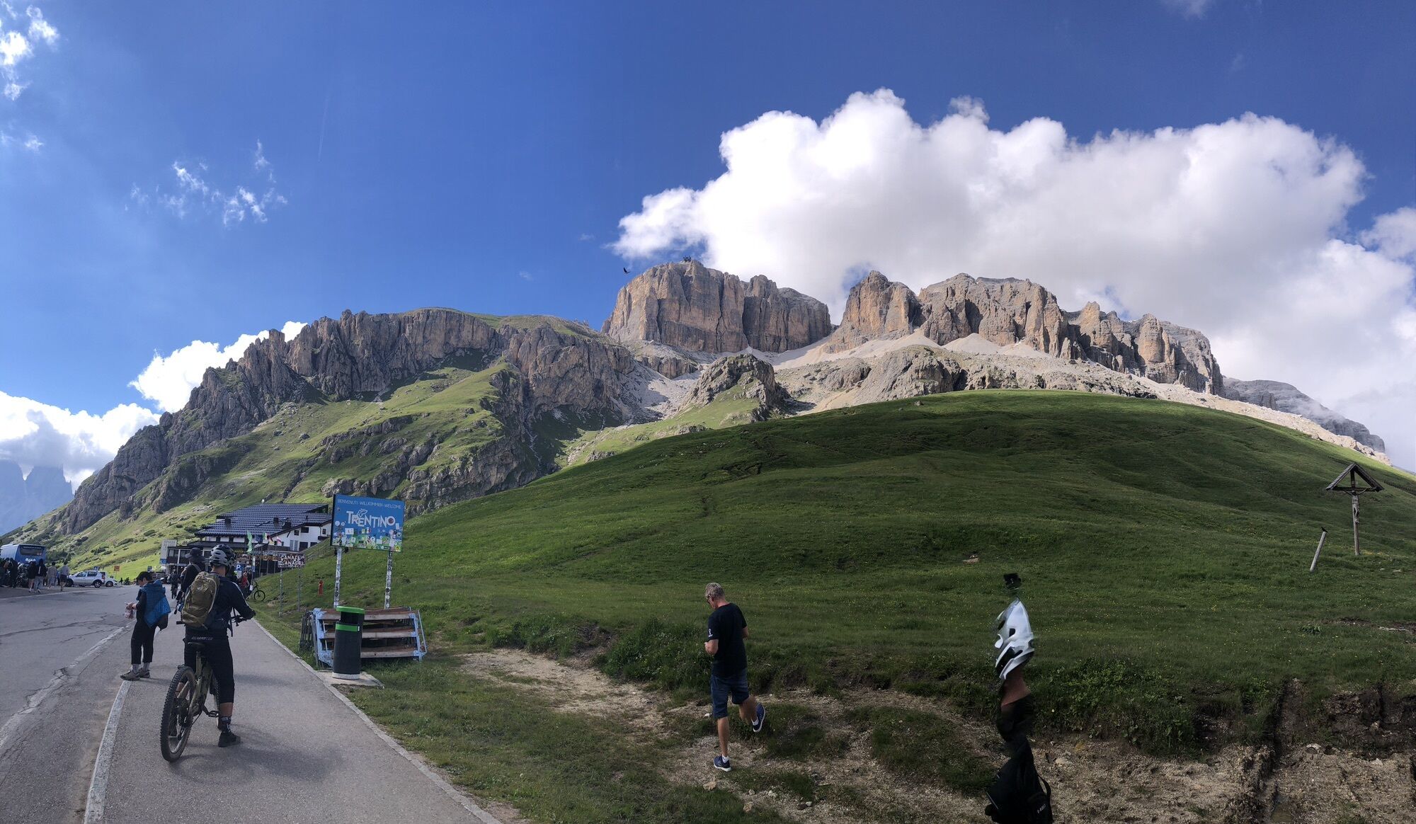
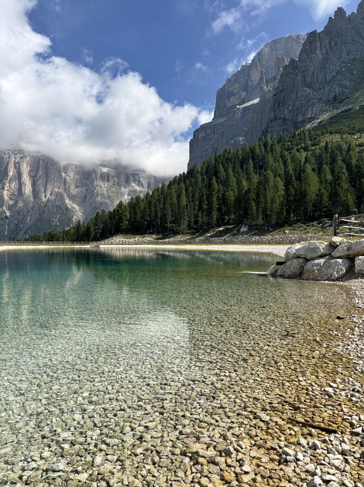
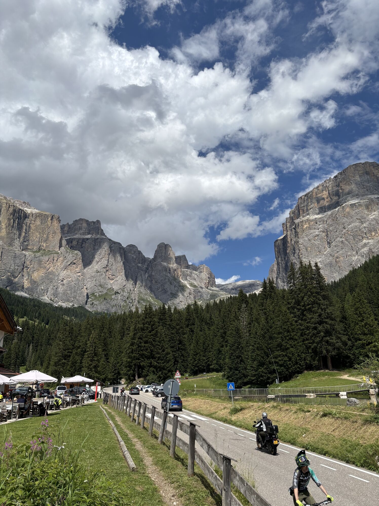
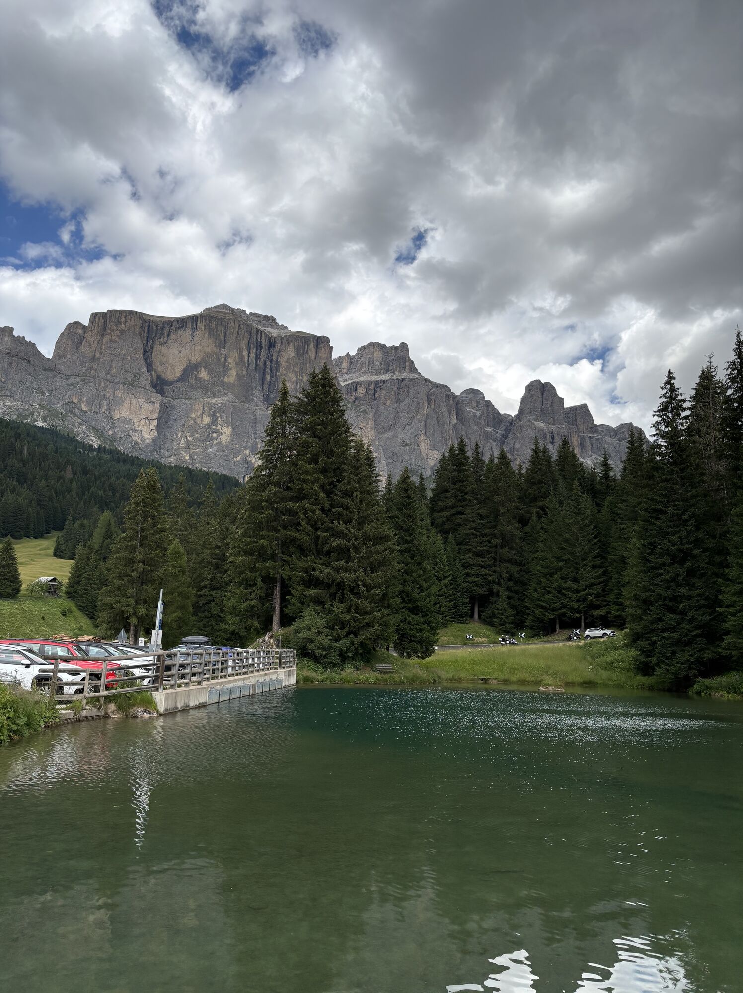
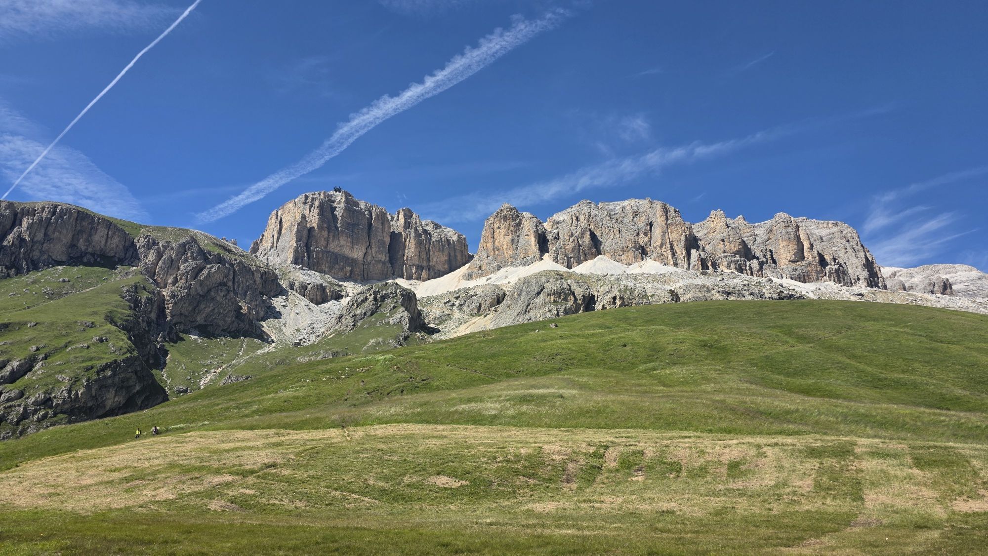
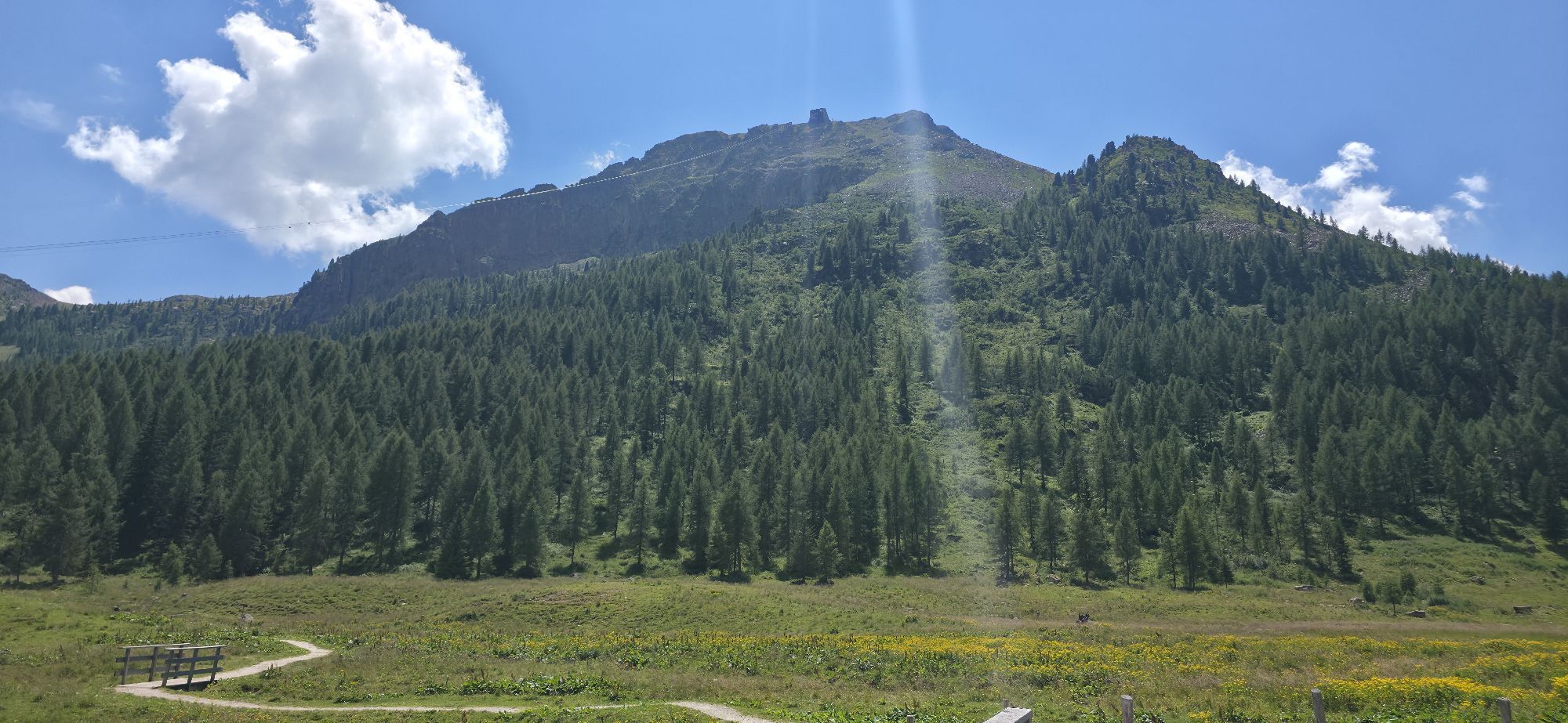
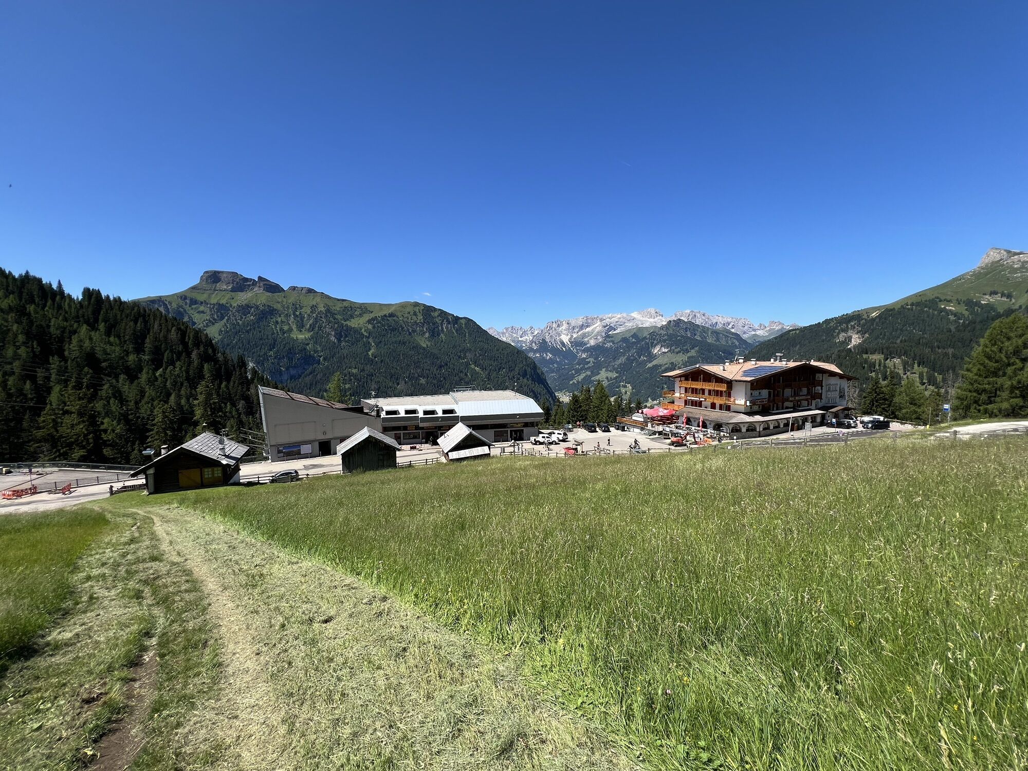
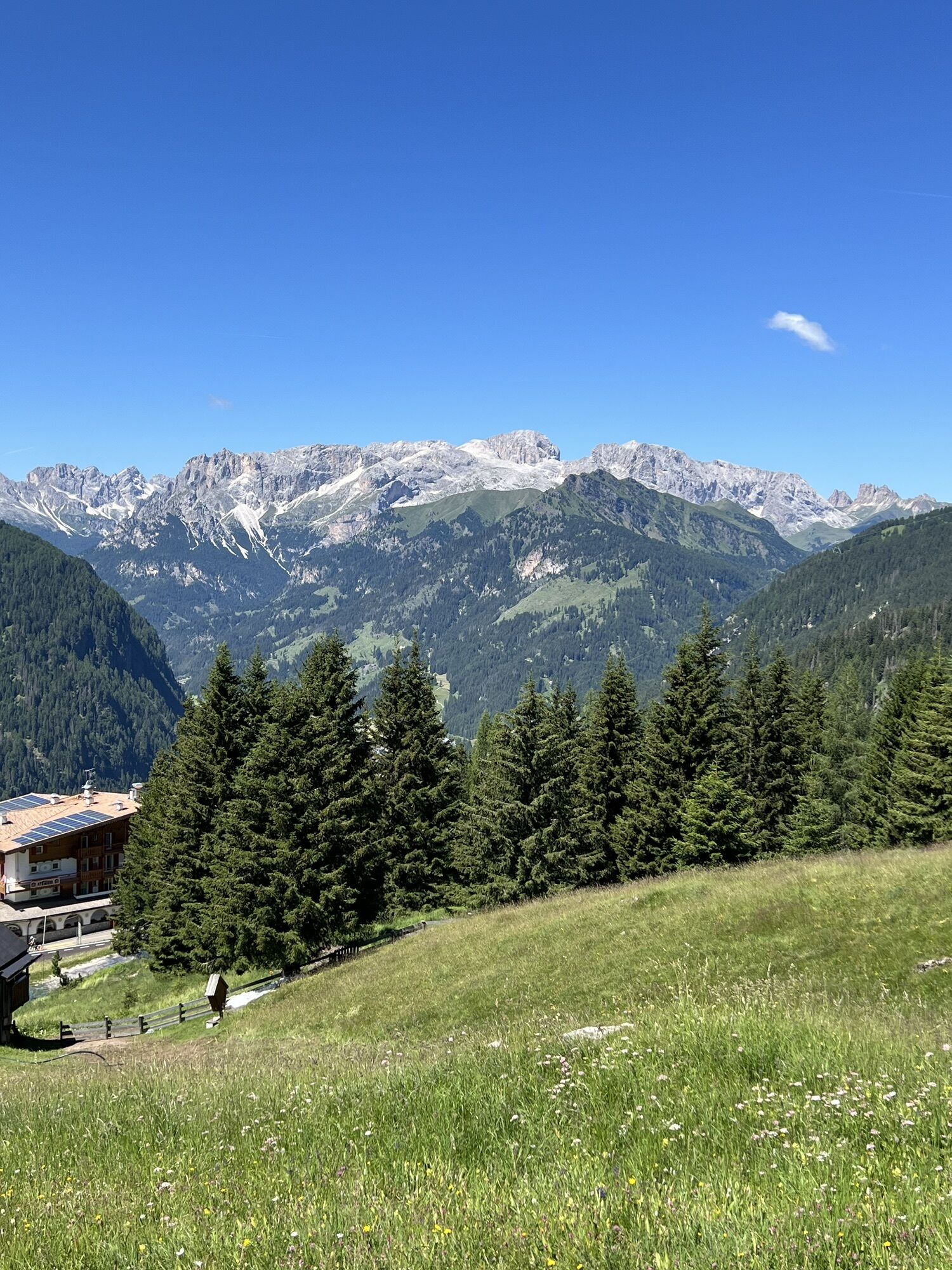
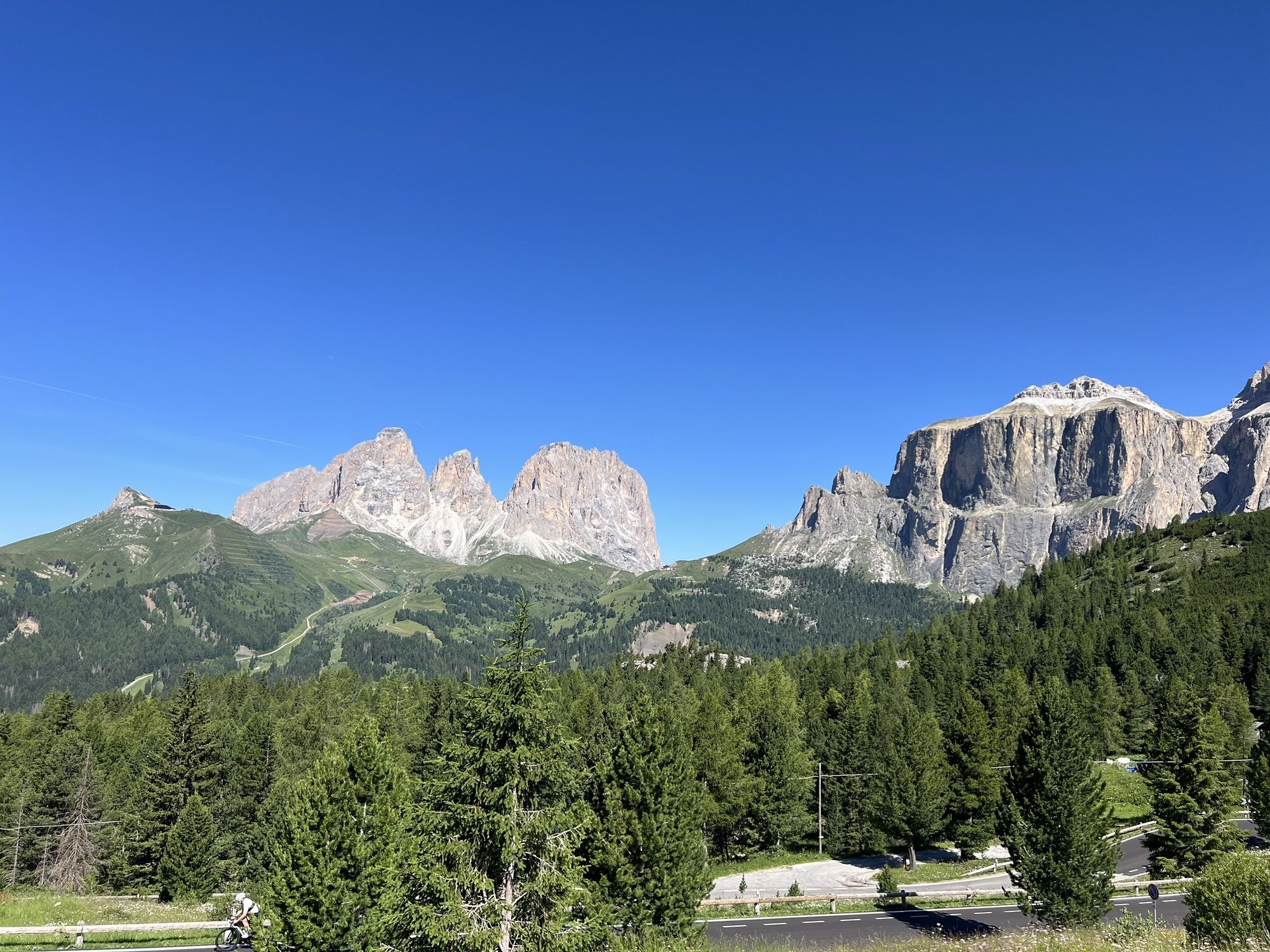
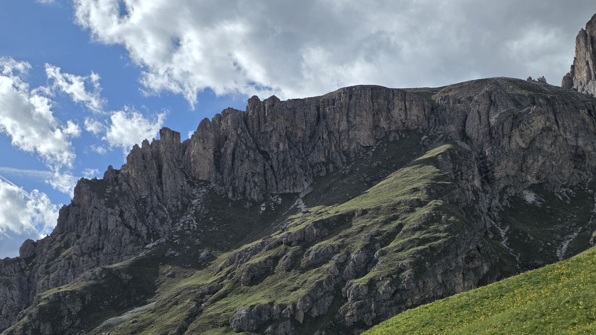
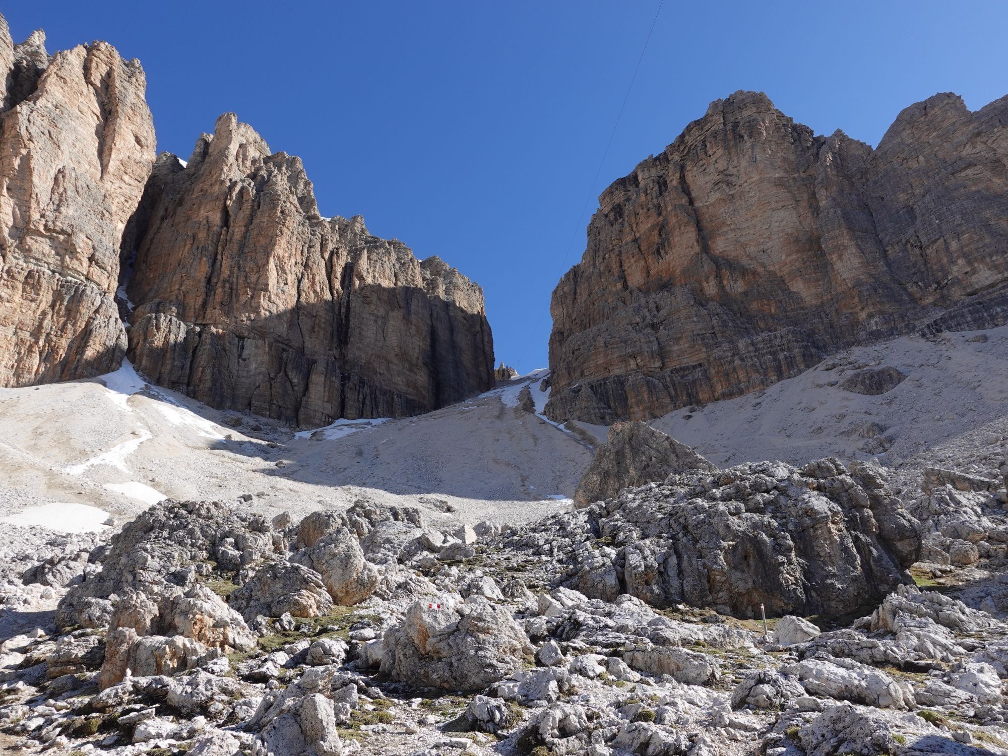
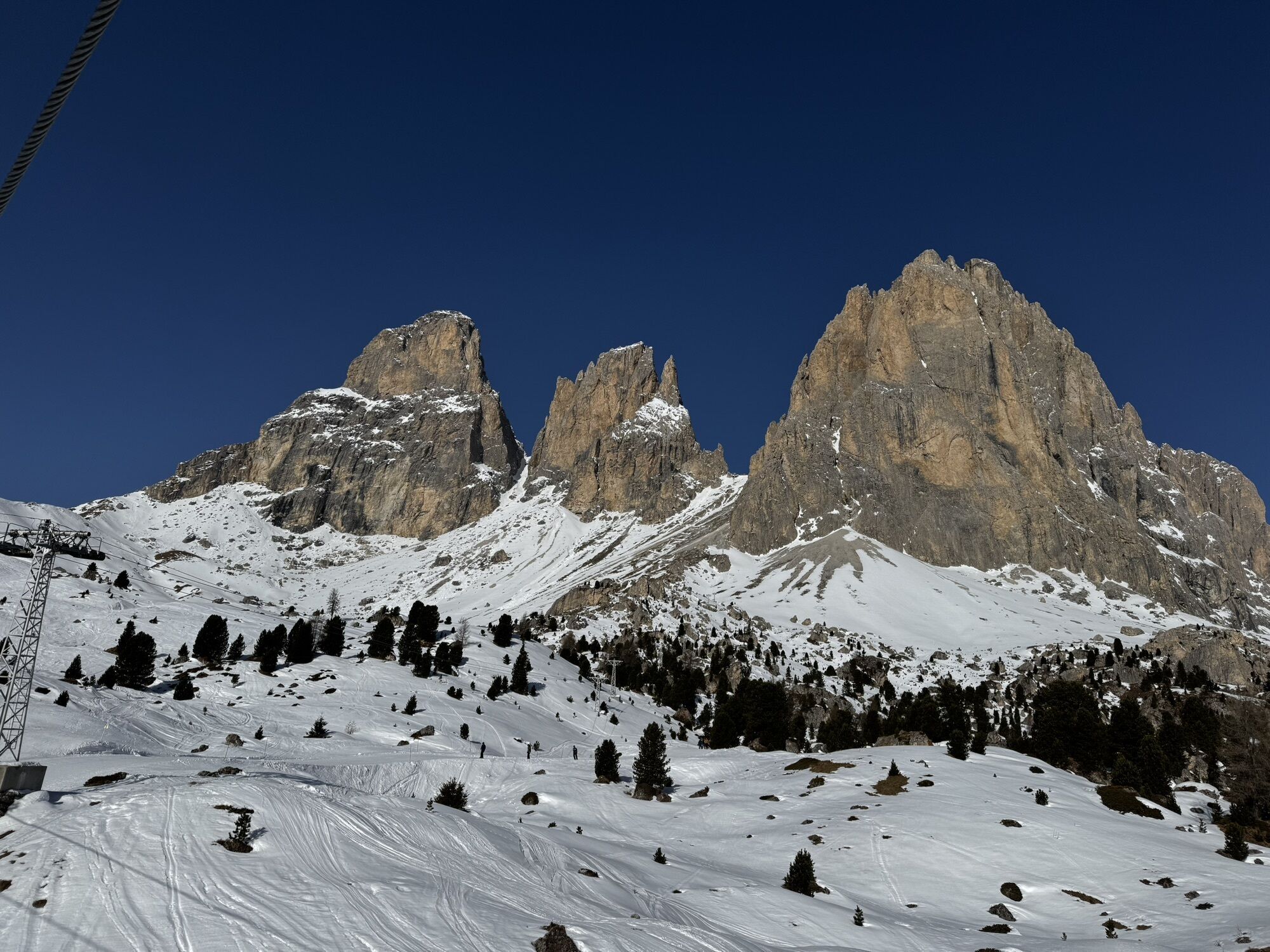
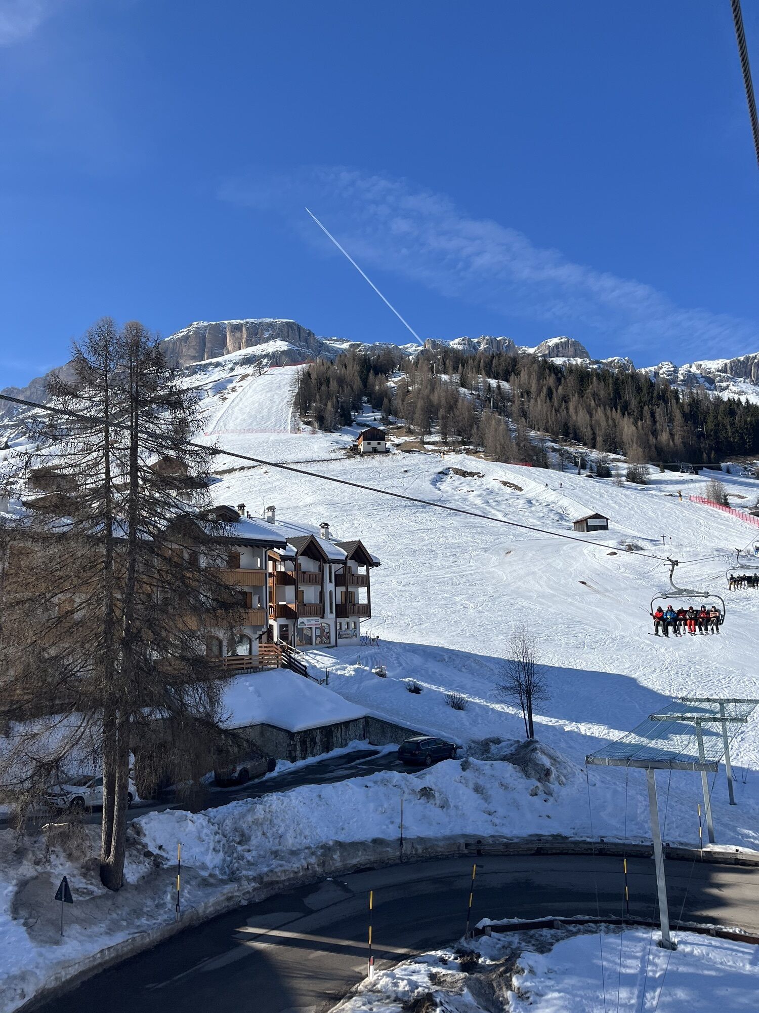
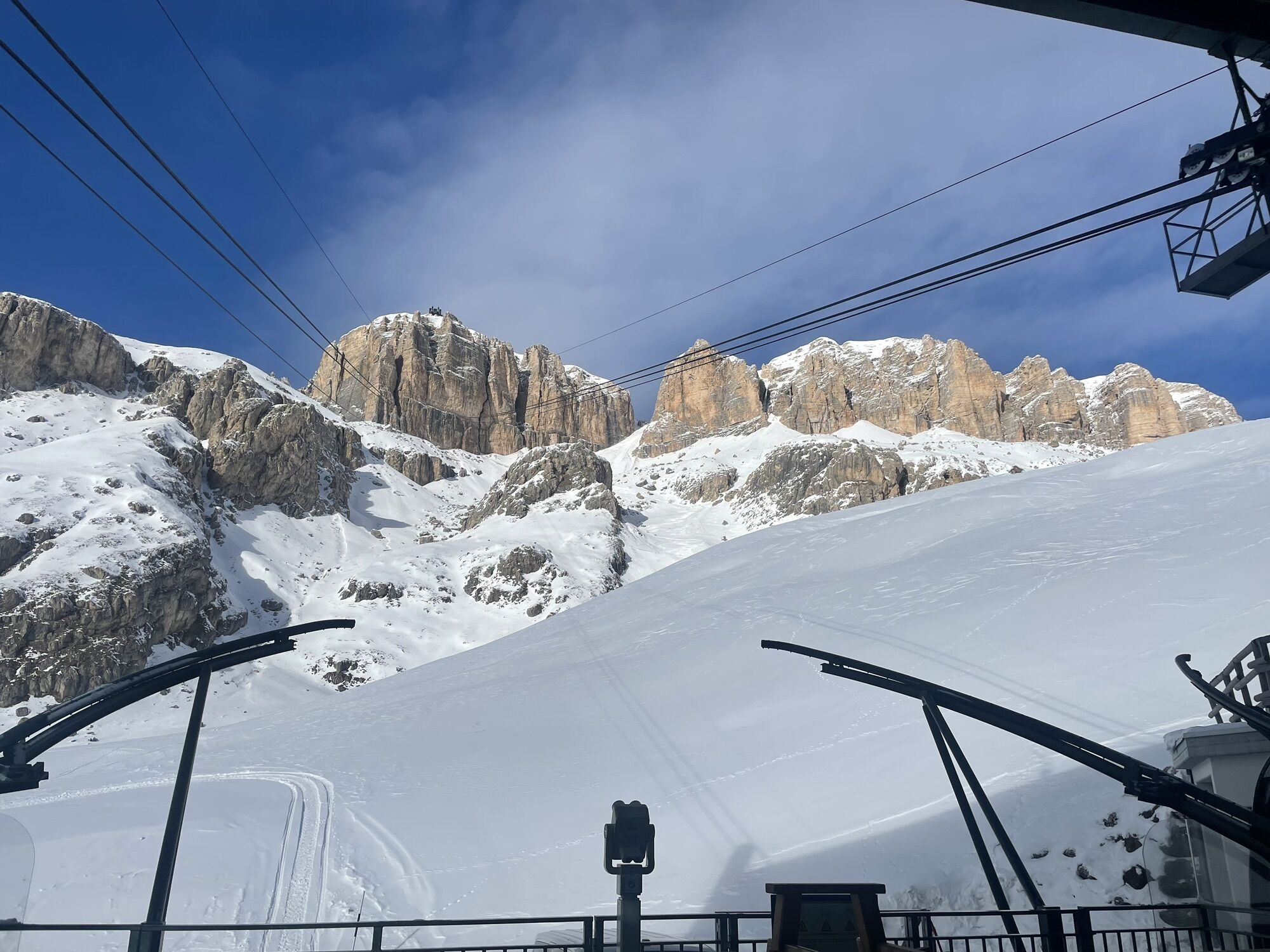
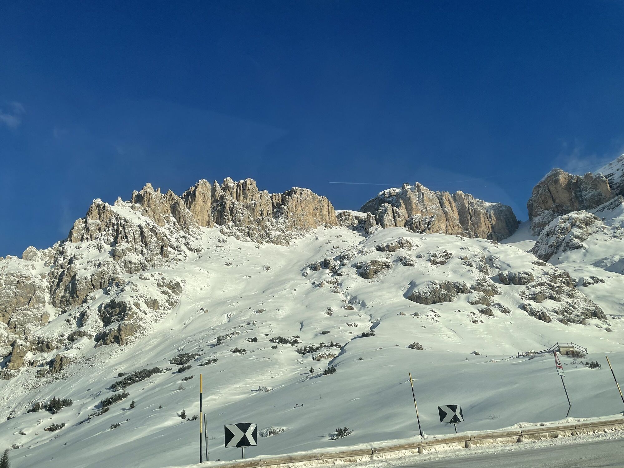
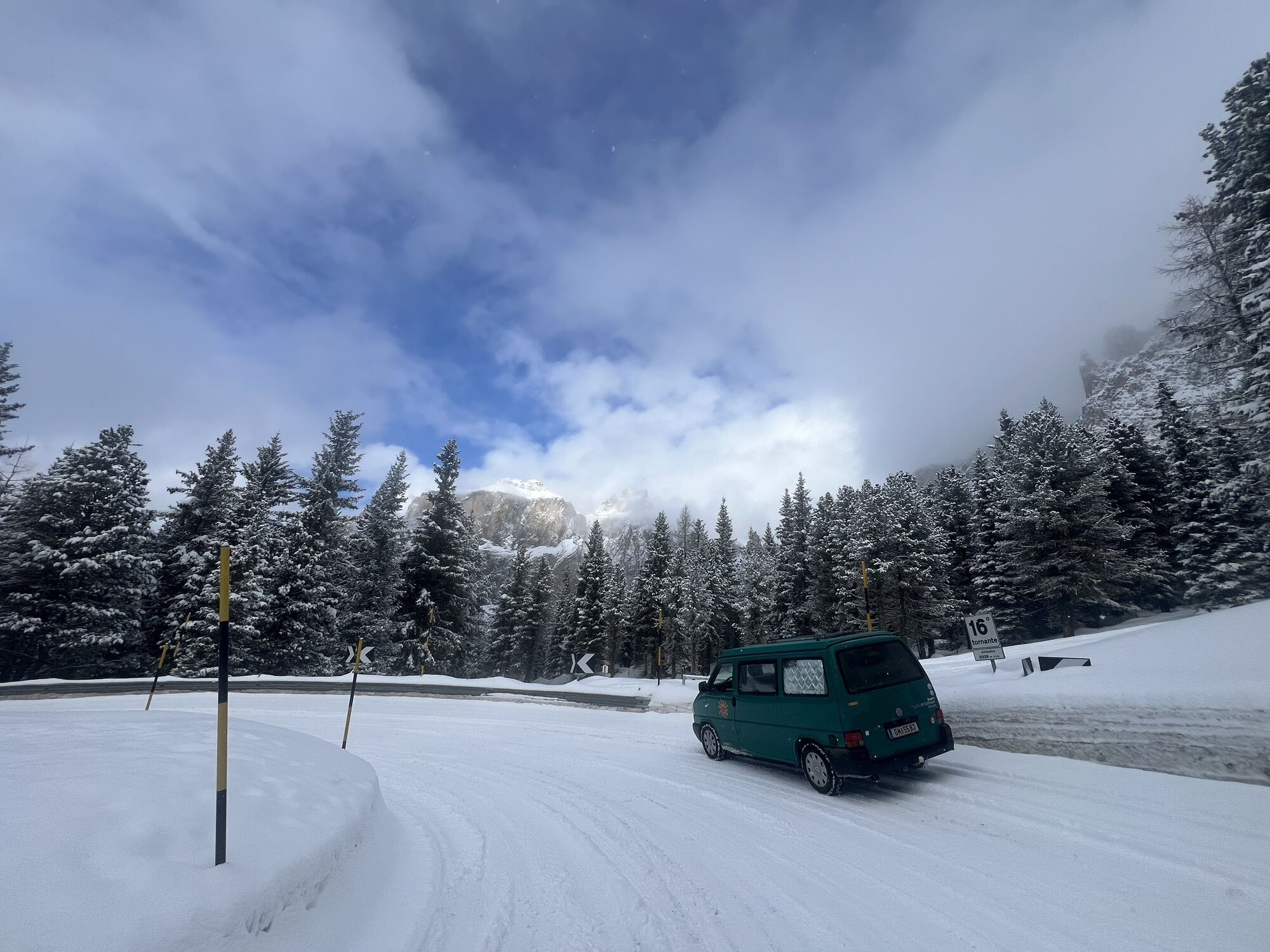
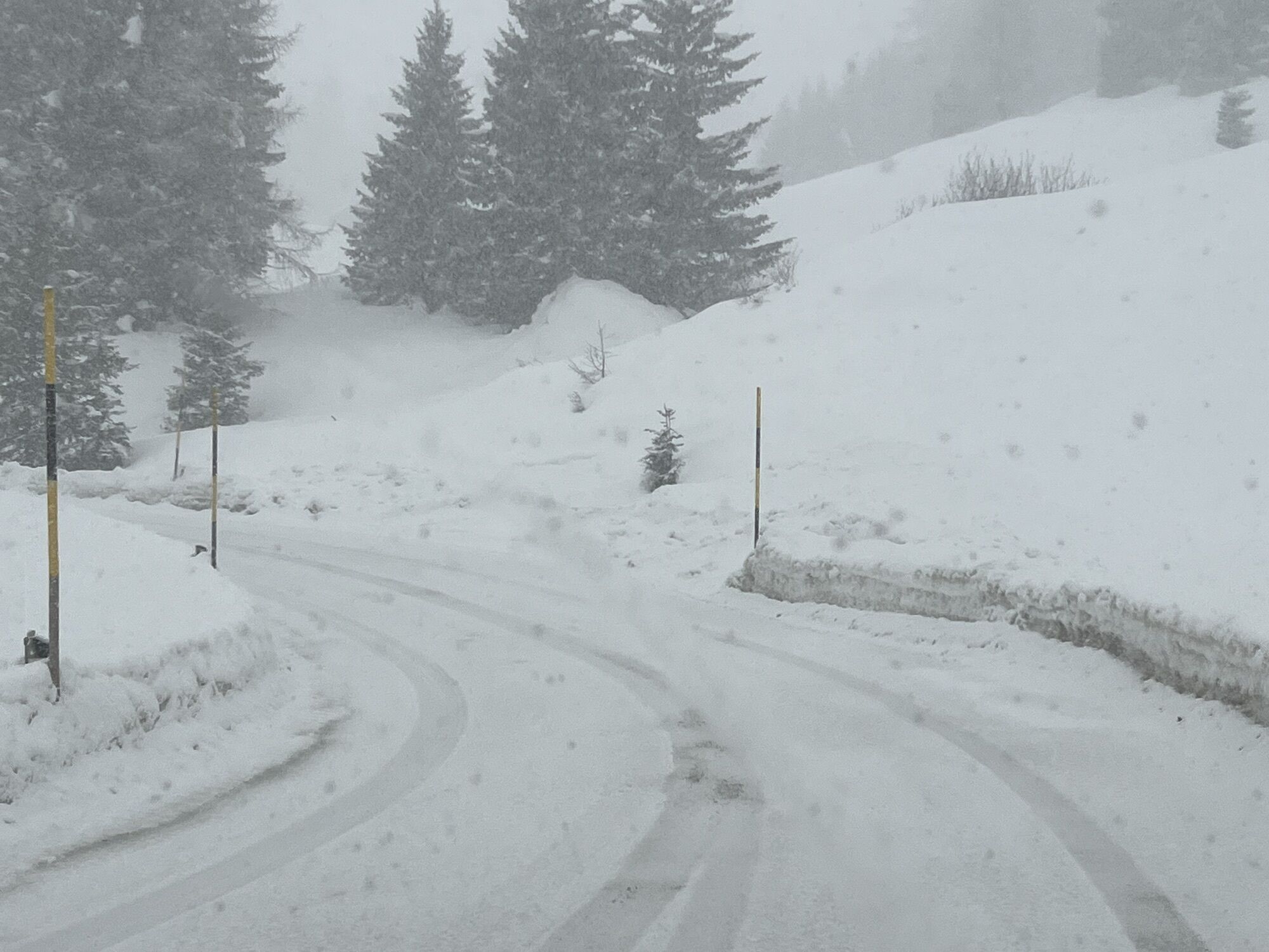
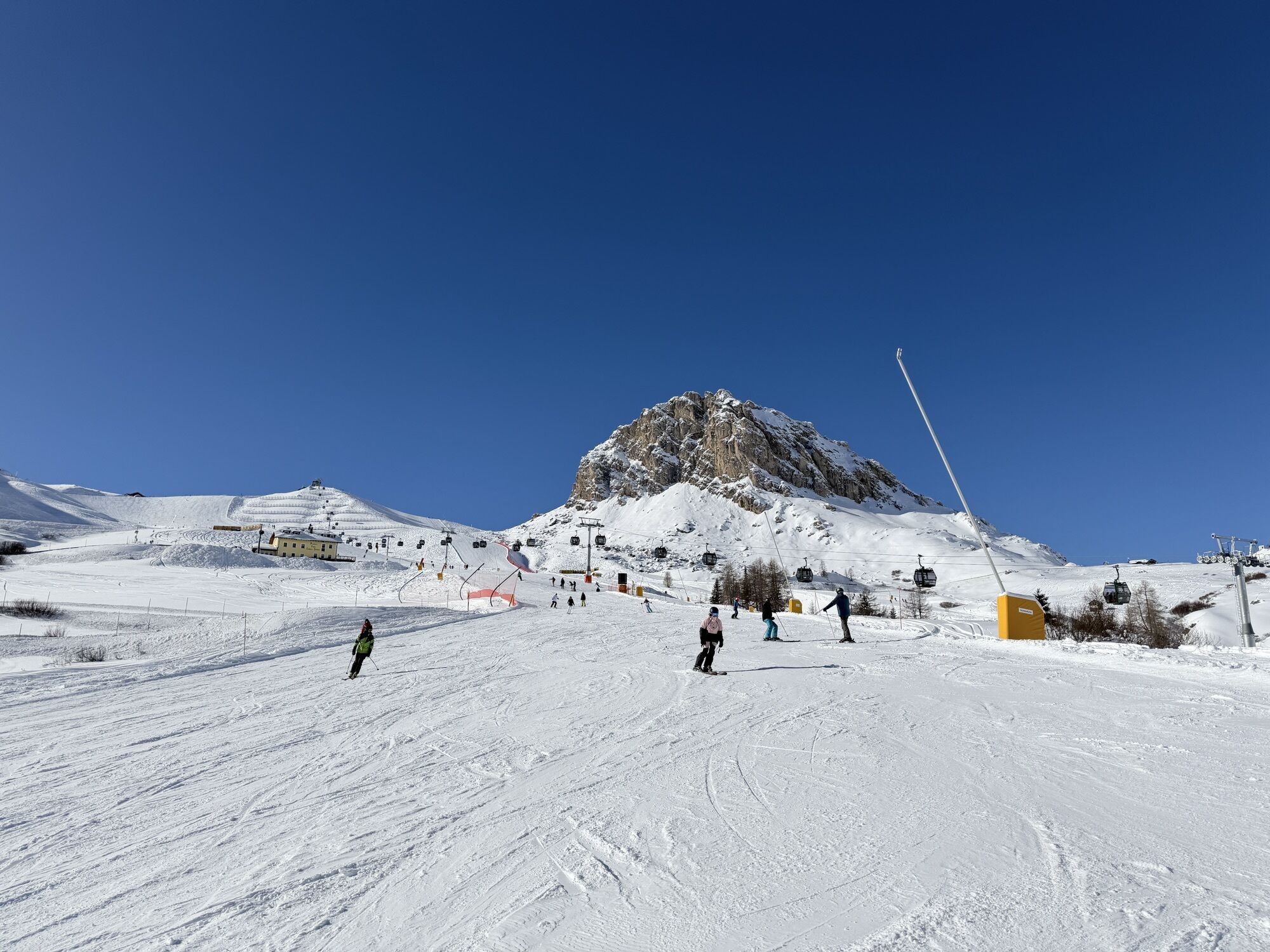
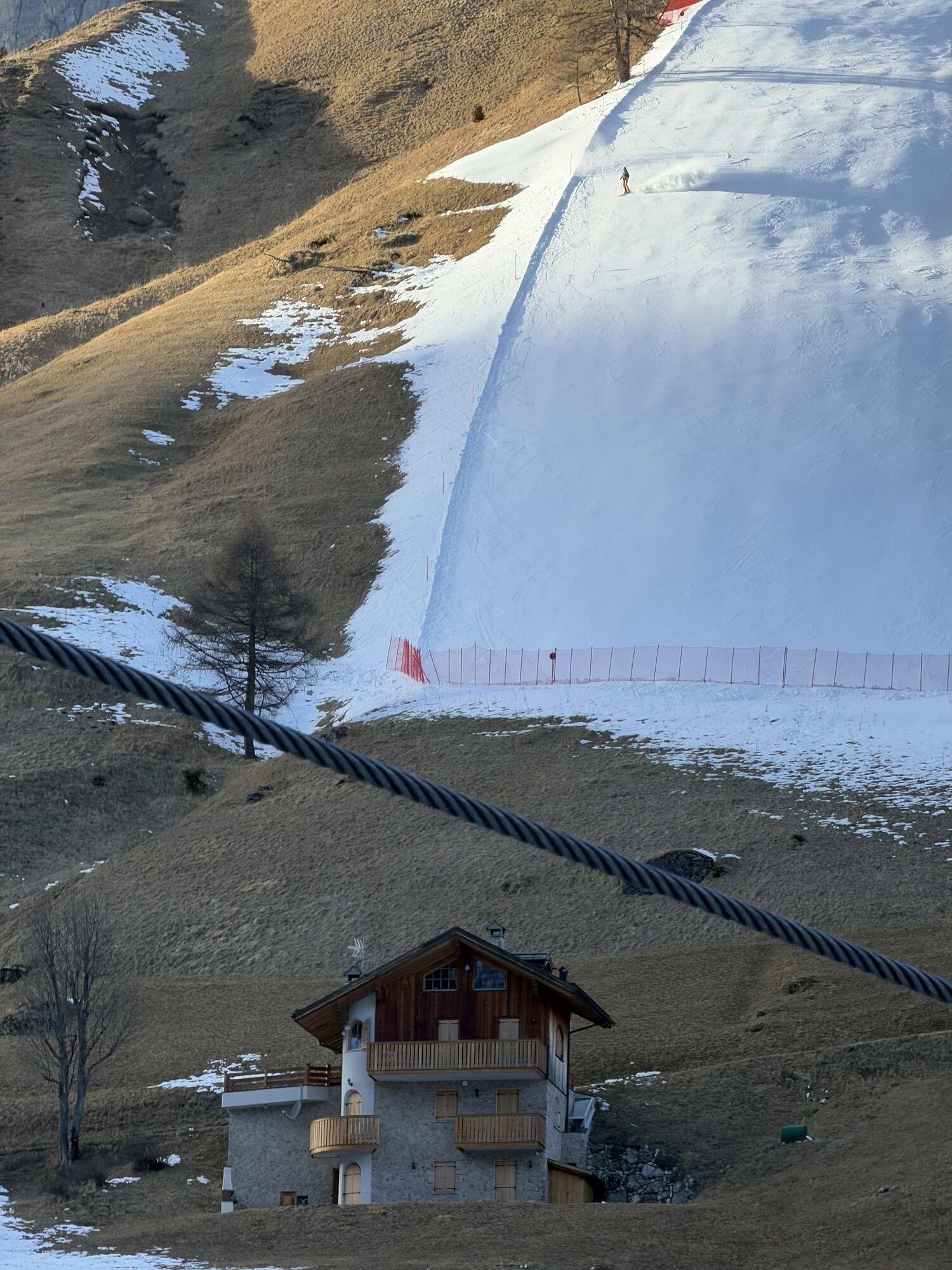
You start immediately with a slight descent from Arabba through the upper Agordino to Cencenighe where you turn right and climb up to the Valle del Biois.
At Falcade the real challenge begins with the...
You start immediately with a slight descent from Arabba through the upper Agordino to Cencenighe where you turn right and climb up to the Valle del Biois.
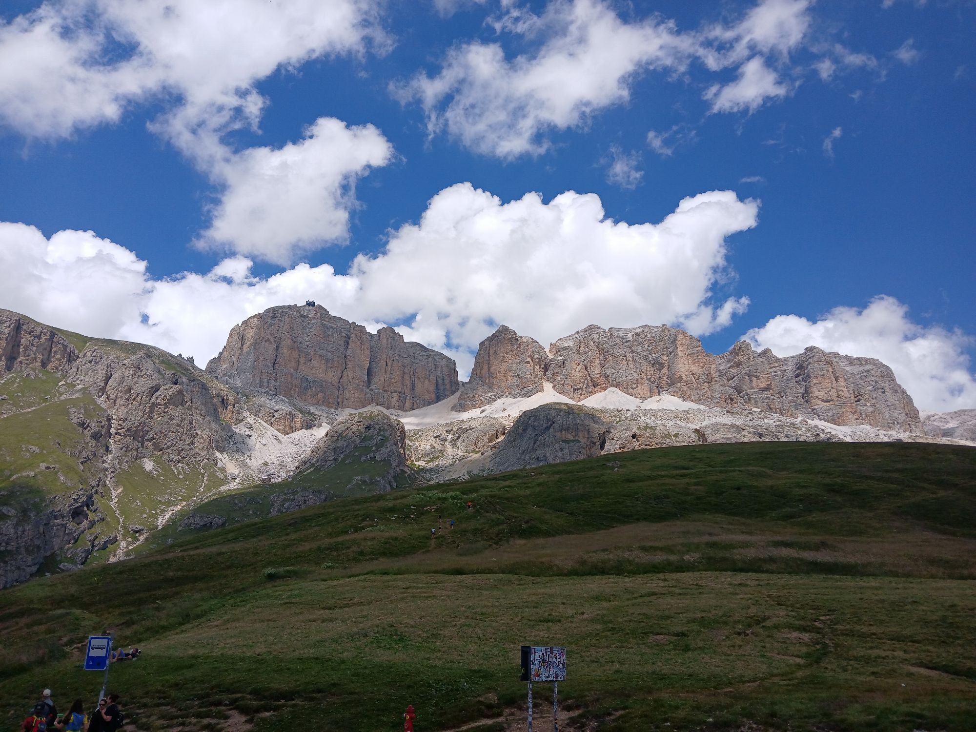
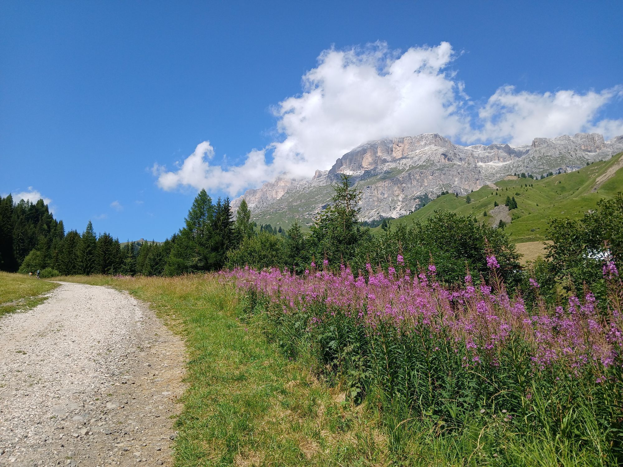
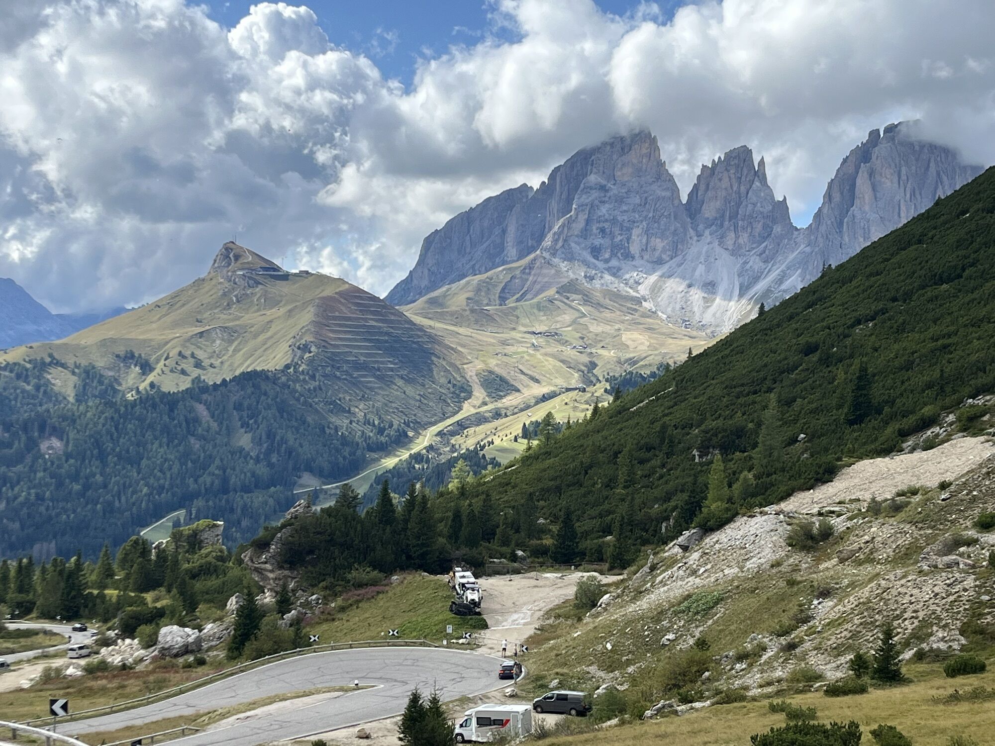
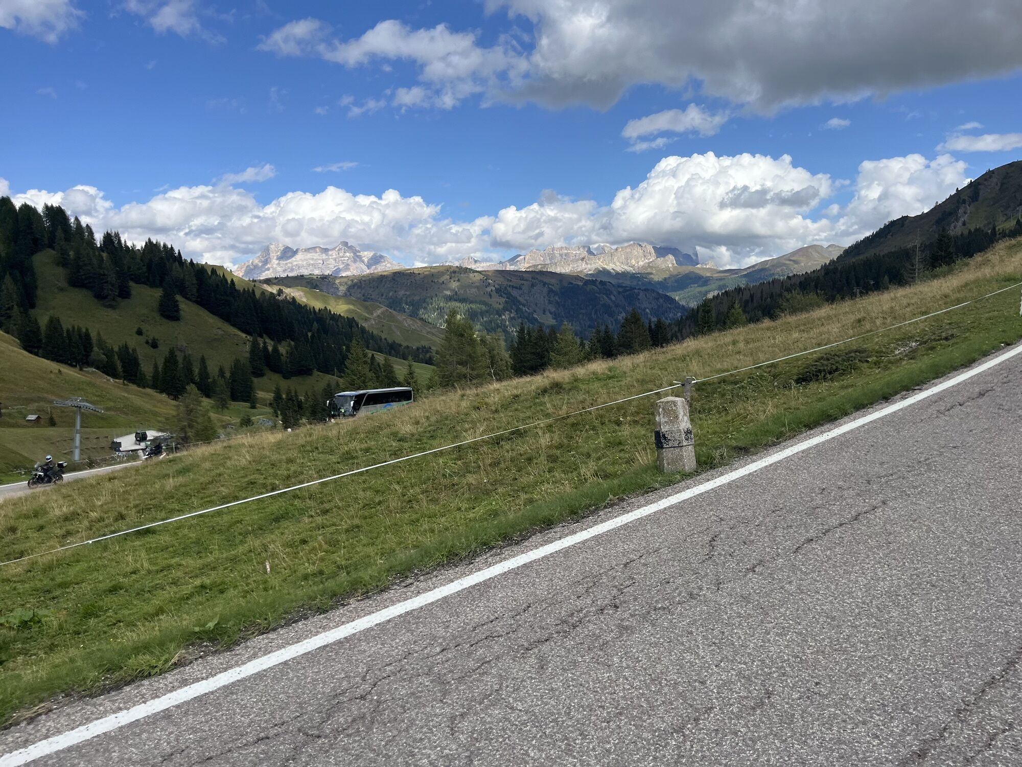
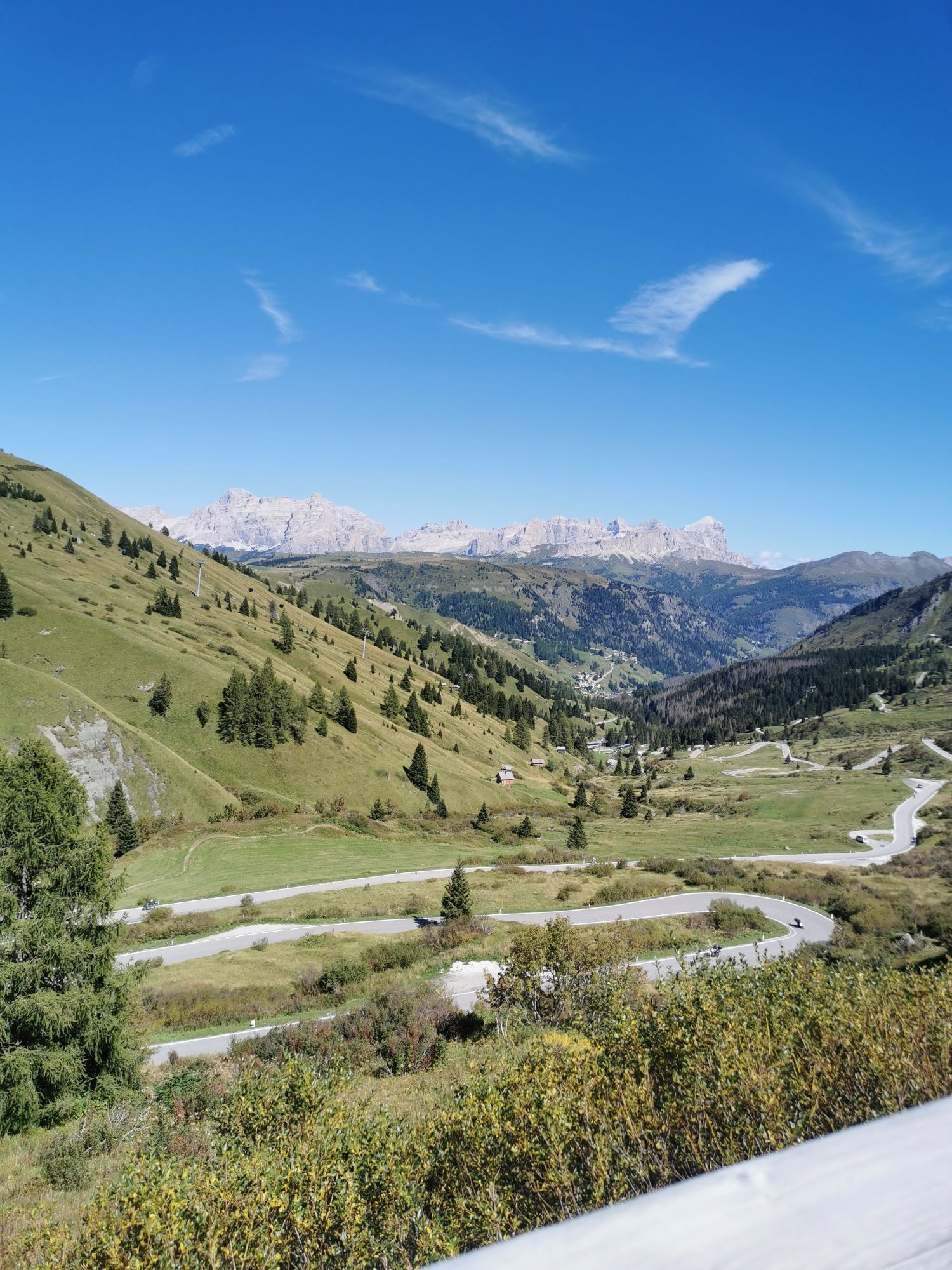
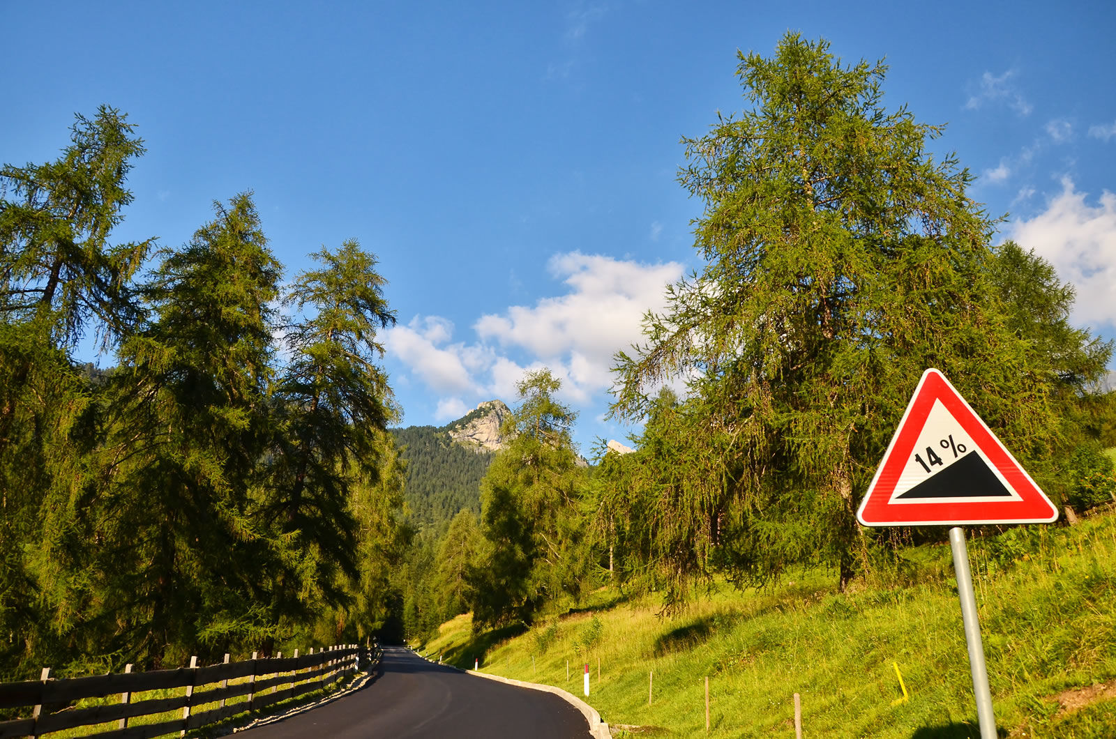
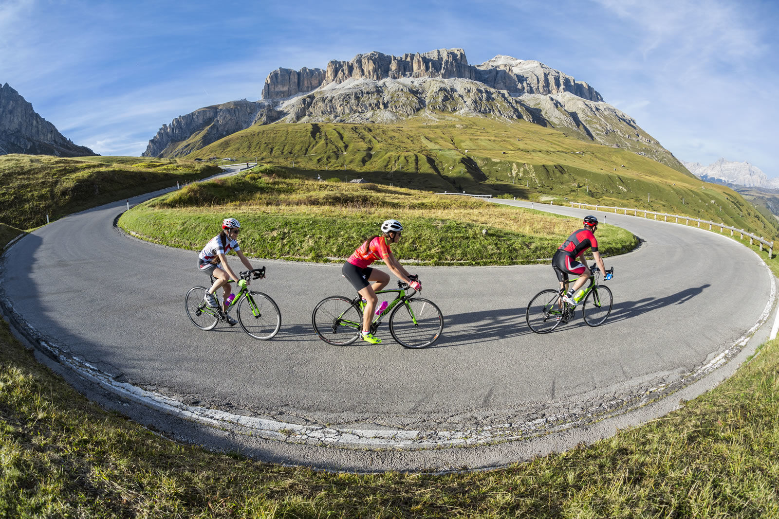
At Falcade the real challenge begins with the Passo San Pellegrino, often the battleground for the strongest climbers of the Giro d'Italia. After the junction with the Passo Valles, the hardest part starts with a series of sharp hairpin bends and ramps at 15%, followed by a long straight stretch leading to the summit.
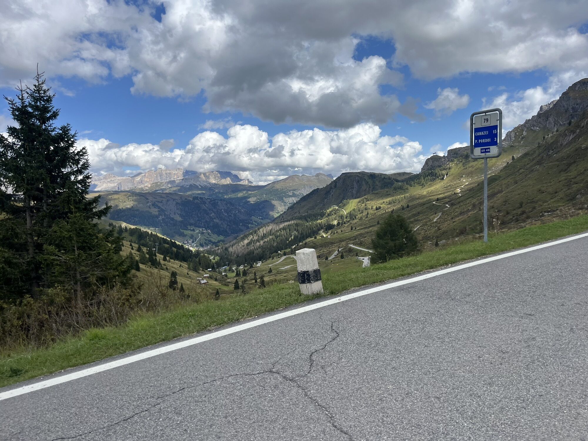
A nice smooth descent to Moena, where, climbing up the whole Val di Fassa, you will reach Canazei to climb the Passo Pordoi and return to Arabba.


Clockwise route: from Arabba town center, take Dolomites Road no. 48, at the "Cernadoi" junction turn right towards Rucavà and then follow the signs to Caprile di Alleghe.
Once in the town center, at the crossroads, turn left and go straight until Cencenighe. From there, turn right at the crossroads and begin the climb which, passing through Falcade, will lead you to the junction with Passo Valles.
One by one, tackle the steep hairpin bends of Passo San Pellegrino, which, with a pleasant descent, will take you to Moena. Once down, at the roundabout, follow the signs to travel the whole Val di Fassa to Canazei, where in the center you will find the junction for Passo Pordoi.
Once at the top, you will face 33 hairpin bends with a breathtaking view of the Fodom Valley which will bring you back to Arabba.
Counterclockwise route: from Arabba town center you start immediately climbing to reach the top of Passo Pordoi. After crossing the pass, you will find numerous hairpin bends leading you to Canazei. At the town center roundabout, turn right and face the long crossing of Val di Fassa to Moena.
From there, start the pleasant climb to Passo San Pellegrino, which with its steep bends will let you experience an exciting descent that, passing through Falcade, will take you to the Cencenighe crossroads.
At the crossroads, turn left and follow the signs to Caprile di Alleghe, where you will find signs for Rucavà first and then for the "Cernadoi" junction.
From there, turn left and take Dolomites Road no. 48 which, with a gentle up and down, will bring you back to Arabba.
Áno
The cyclist's kit:
spare inner tube repair patches for the inner tube CO2 inflator and cartridges tire lever mini pump inflate and repair canister multitool kit chain breaker money insect bite sticks food (energy bars, snacks, dried fruit, fruit) mobile phone (store useful local and emergency numbers and health information) water bottles (one with water, one with water + minerals) gloves helmet helmet liner bandana anti-glare glasses windproof and waterproof k-wayThe roads are open to car traffic; it is recommended to moderate your speed according to your skills and in consideration of other users and traffic laws.
Always let someone know where you are going and the approximate duration of the outing.
The emergency phone numbers are 112 or 118 (ambulance).
By car
From Innsbruck, Brenner Motorway A22 to the Bressanone exit, continue through Val Pusteria, Val Badia and Passo Campolongo. From Verona/Milan, Brenner Motorway A22 to the Egna Ora exit, continue through Val di Fiemme, Val di Fassa, Passo Pordoi and Arabba. From Venice, A27 Motorway Belluno exit, follow Agordina 203 to Agordo, Caprile and Arabba.By train
Nearest train stations:
Belluno - 70 km Brunico - 48 km Ponte Gardena - 51 kmBy bus
Brunico - 47 km connection via SAD line www.sad.it Belluno – 70 km connection via Dolomitibus line www.dolomitibus.itBy plane
Venice Treviso / Venice Marco Polo – 160/170 km Innsbruck - 140 km Verona – 270 km Milan Bergamo / Milan Malpensa - 310/400 kmBefore setting off, we recommend checking the weather, which changes rapidly in the mountains, and the trail conditions.
A short refreshment stop is recommended at the top of the various Passes to admire the splendid panorama of the Dolomites.
Webové kamery z prehliadky
-
Plan de Gralba
-
Col dei Rossi
-
Marmolada
-
Ciampedie - Rosengarten
-
Ciampedie - Rosengarten
-
Ciampedie - Rosengarten
-
Ciampedie - Rosengarten
-
Col Margherita
-
Col Margherita
-
Col Margherita
-
Le Cune
-
Le Cune
-
Le Cune
-
Le Cune
-
Le Cune
-
Le Cune
-
Zoldo Alto - Pecol
-
Santa Fosca - Campo Scuola
-
Falcade
-
Le Cune
-
Rifugio Maria Sass Pordoi
-
Arabba - Bec de Roces
-
Alleghe - Civetta
-
Alleghe
-
Col Margherita
-
Col Margherita
-
Col Margherita
-
Col Margherita
-
Val Gardena - Citta dei Sassi
-
Catinaccio - Rosengarten Pra Martin
-
Ciampedie - Rosengarten
-
Ciampedie - Rosengarten
-
Ciampedie - Rosengarten
-
Ciampedie - Rosengarten
-
Catinaccio - Rosengarten Pra Martin
-
Catinaccio - Rosengarten Pra Martin
-
Canazei - Col dei Rossi
-
Canazei - Col dei Rossi
-
Canazei - Col dei Rossi

Obľúbené výlety v okolí
-
4,8
Pordoi Pass - Sass Pordoi - Forcella Pordoi - Piz Boè - Boè Refuge - Forcella Pordoi - Pordoi Pass
ťažkéTuristika 8,39 km -
4,4
Viel dal pan
svetloTuristika 6,60 km -
4,9
Via Ferrata "Cesare Piazzetta"
ťažkéVia ferrata 9,07 km -
4,5
Dolomiten Sellagruppe, Alb. Col di Lana, Sas de Pordoi, Piz Boé retour 22.06.2016
strednáTuristika 5 km -
4,8
Passo Costalunga - Sella del Ciampaz
strednáTuristika 8,35 km -
4,6
Kölner Hütte - Hirzelsteig - Rotwandhütte - Baita Tre - Karerpass
strednáTuristika 9,56 km -
4,5
Cavallazza Peak
strednáTuristika 7,82 km -
4,5
San Pellegrino Pass - Fuciade - Val Fredda - Malga Boer - San Pellegrino Pass
strednáTuristika 11,1 km -
4,4
Passo Pordoi Loop
strednáTuristika 13,1 km -
4,8
Giro del catinaccio a nova levante
Turistika 11,7 km
Turistika a stopovanie


Nenechajte si ujsť ponuky a inšpiráciu na ďalšiu dovolenku
Vaša e-mailová adresa bol pridaný do poštového zoznamu.





