


"Maratona dles Dolomites" route
Fotografie našich používateľov
-
 © Andreas GeislerVytvorené dňa 11.09.2025
 -
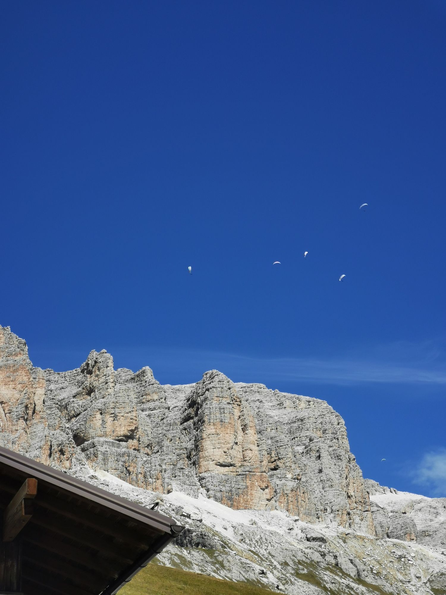
 © Andreas GeislerVytvorené dňa 11.09.2025
 -
 © Andreas GeislerVytvorené dňa 11.09.2025
 -
 © Andreas GeislerVytvorené dňa 11.09.2025
 -
 © Andreas GeislerVytvorené dňa 11.09.2025
 -
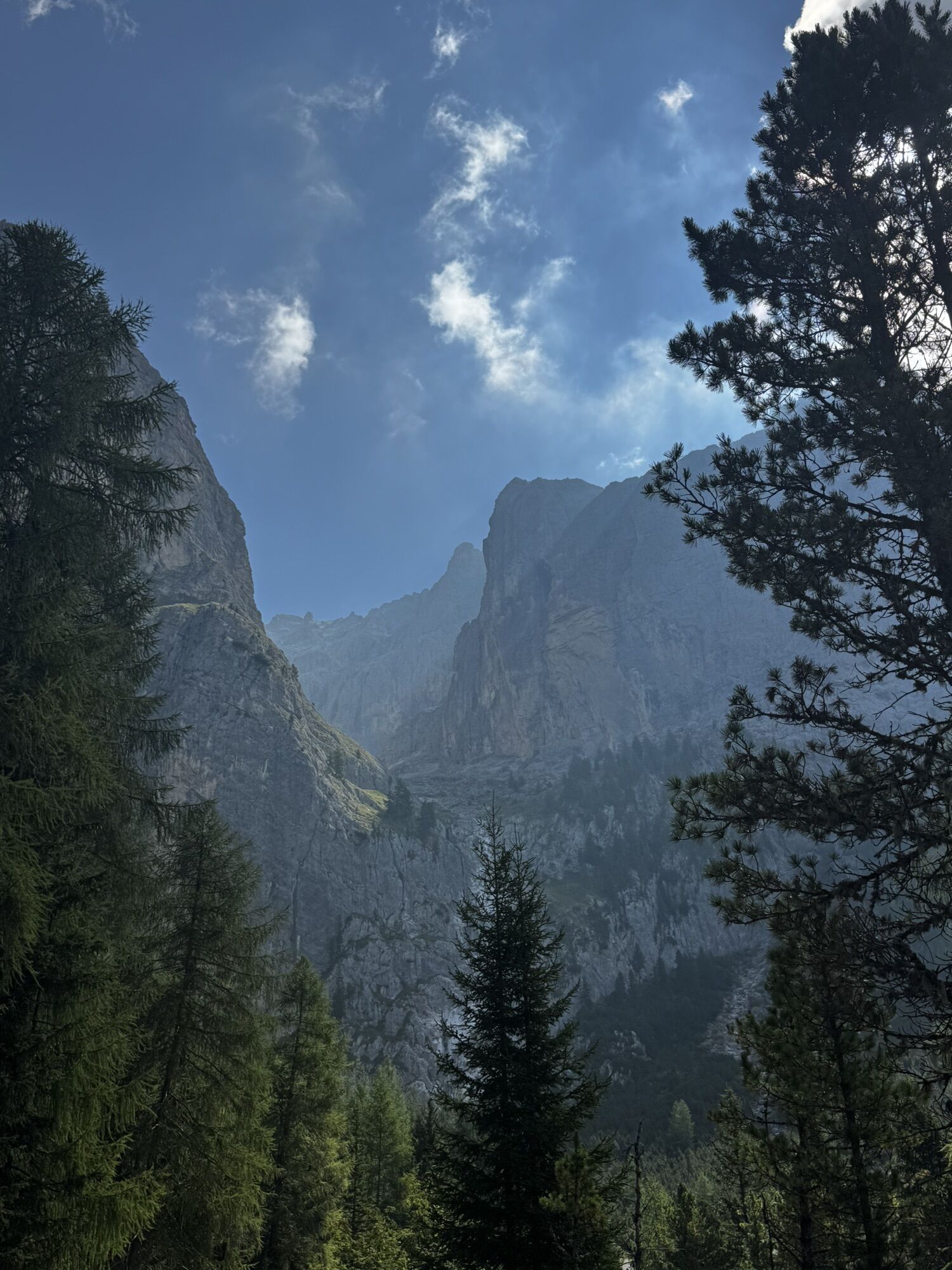
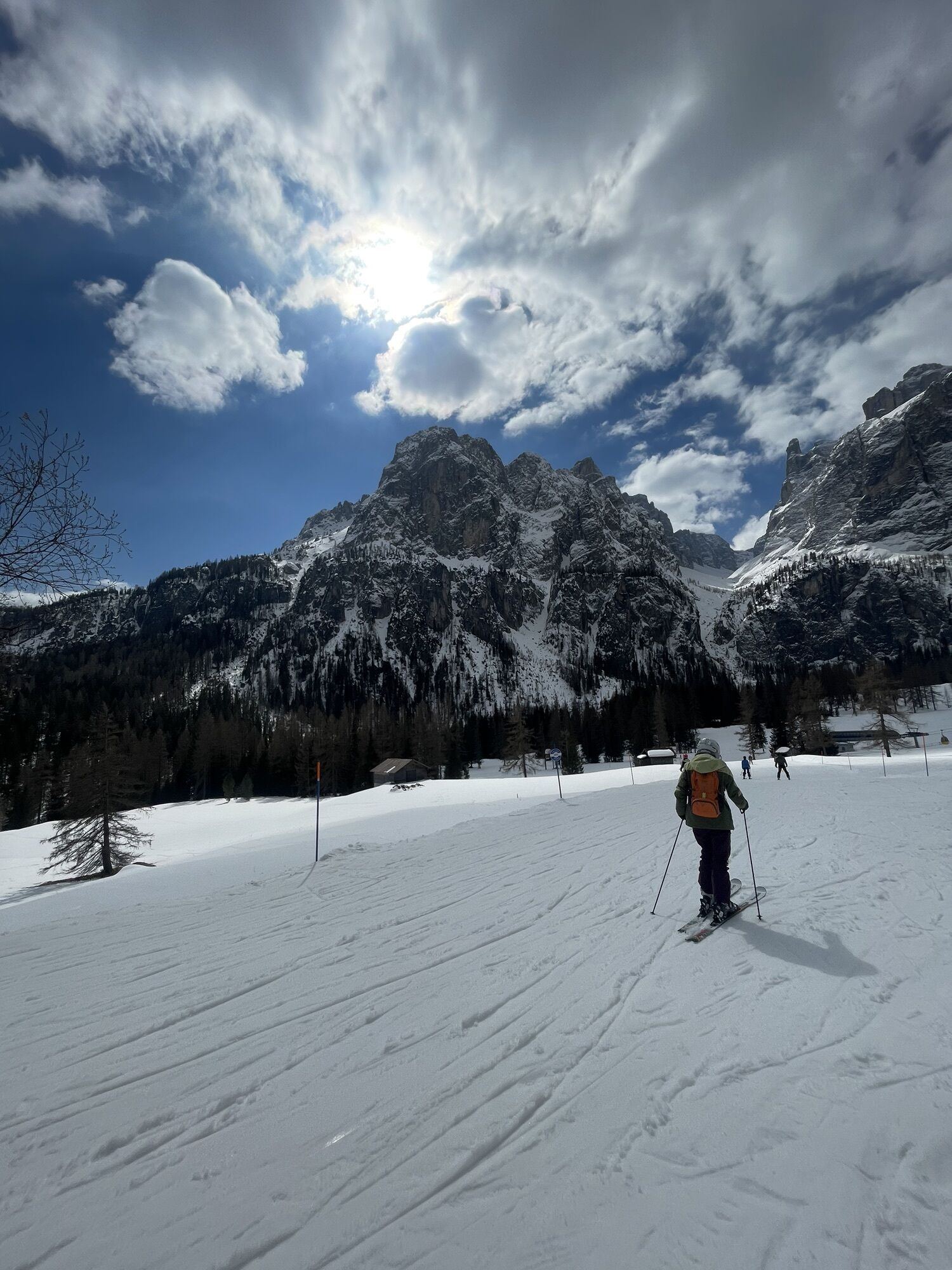
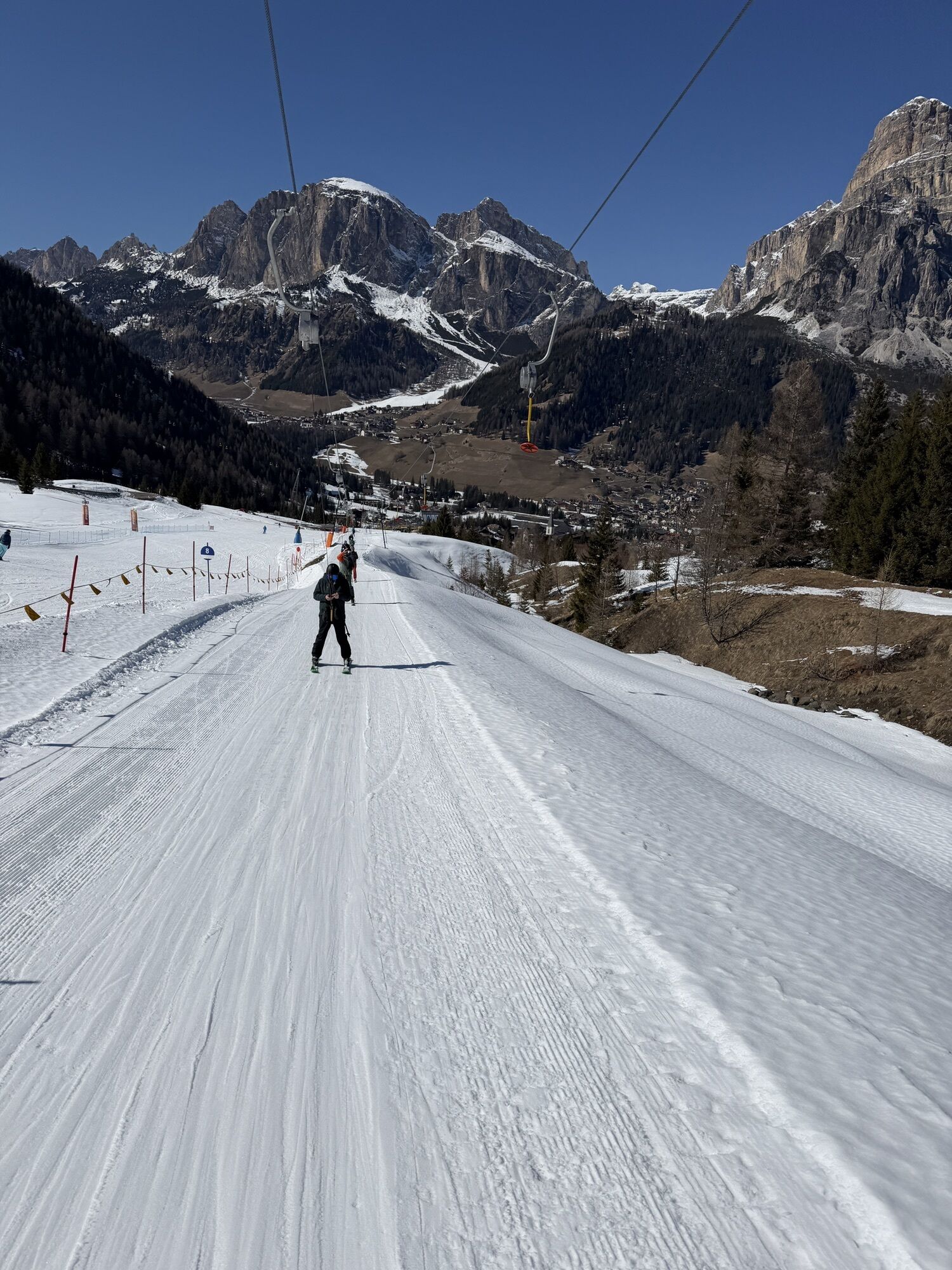
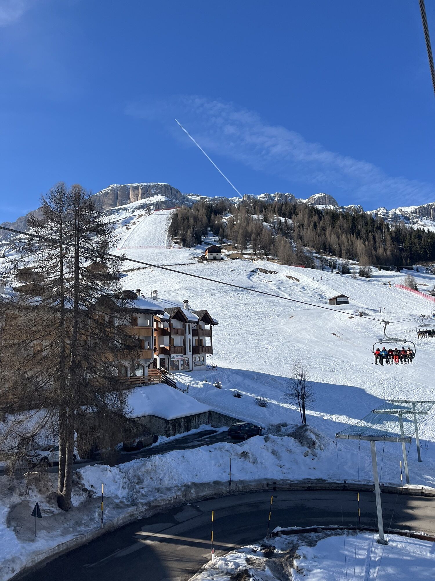
 © Vida BurjaVytvorené dňa 06.09.2025
 -
 © Vida BurjaVytvorené dňa 06.09.2025
 -
 © Vida BurjaVytvorené dňa 06.09.2025
 -
 © Vida BurjaVytvorené dňa 06.09.2025
 -
 © Vida BurjaVytvorené dňa 06.09.2025
 -
 © Vida BurjaVytvorené dňa 06.09.2025
 -
 © Vida BurjaVytvorené dňa 06.09.2025
 -
 © Vida BurjaVytvorené dňa 06.09.2025
 -
 © Vida BurjaVytvorené dňa 06.09.2025
 -
 © Vida BurjaVytvorené dňa 06.09.2025
 -
 © Vida BurjaVytvorené dňa 06.09.2025
 -

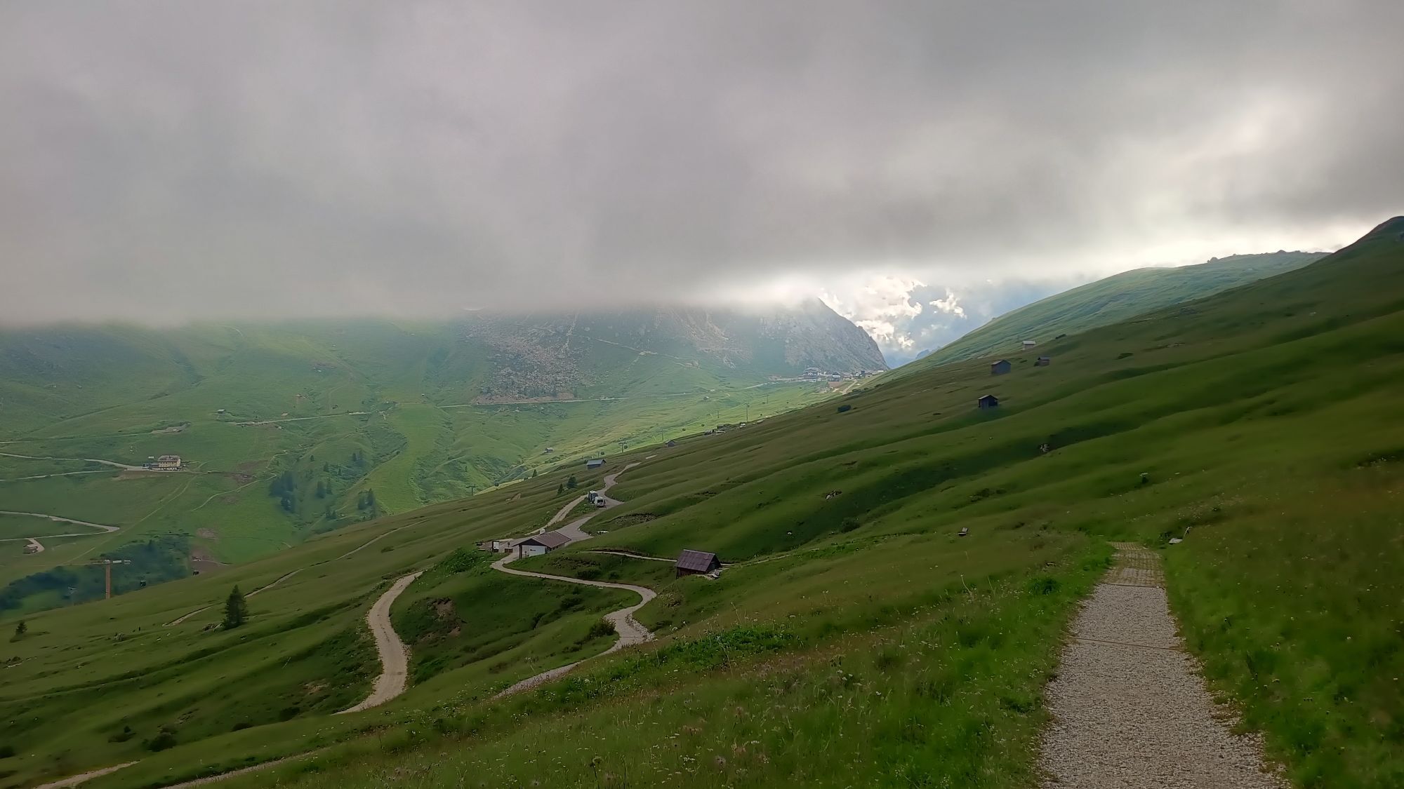
 © DolomitiMikeVytvorené dňa 19.08.2025
 -

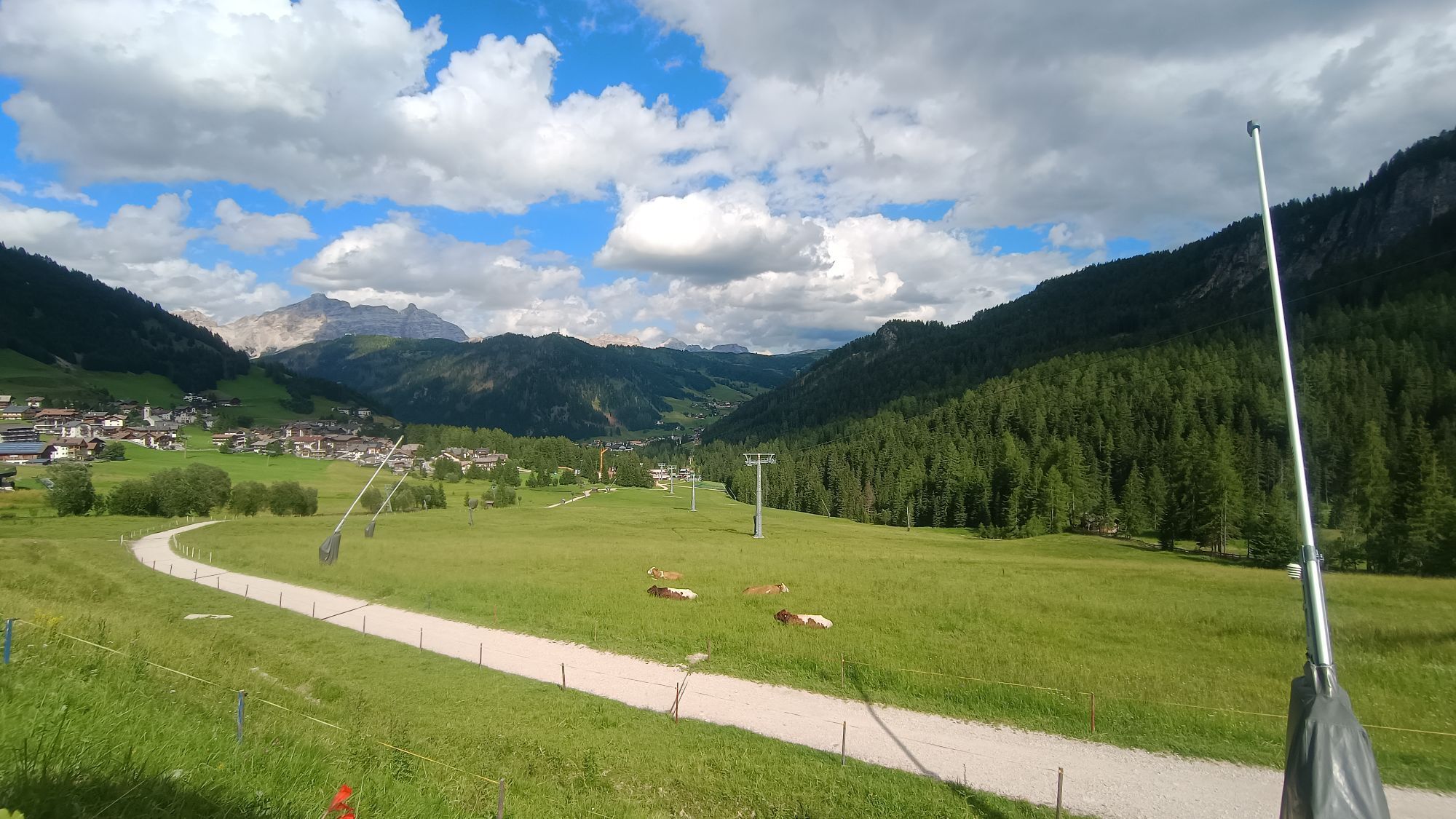
 © BaumiVytvorené dňa 12.07.2025
 -
 © BaumiVytvorené dňa 11.07.2025
 -
 © BaumiVytvorené dňa 11.07.2025
 -
 © Gianni barattiVytvorené dňa 21.06.2025
 -
 © Gianni barattiVytvorené dňa 21.06.2025
 -
 © Walter TinkhauserVytvorené dňa 19.05.2025
 -
 © Walter TinkhauserVytvorené dňa 19.05.2025
 -
 © Walter TinkhauserVytvorené dňa 19.05.2025
 -
 © Walter TinkhauserVytvorené dňa 19.05.2025
 -
 © Walter TinkhauserVytvorené dňa 19.05.2025
 -

 © Peter LaureVytvorené dňa 05.07.2024
 -
 © ProbsgVytvorené dňa 08.06.2024
 -
 © ProbsgVytvorené dňa 08.06.2024
 -
 © ProbsgVytvorené dňa 08.06.2024
 -
 © Stefano “Iddo”Vytvorené dňa 21.08.2023
 -
 © Stefano “Iddo”Vytvorené dňa 21.08.2023
 -
 © Harry BentleyVytvorené dňa 31.03.2026
 -
 © Stefano BelingheriVytvorené dňa 29.03.2026
 -
 © Tereza ValentovaVytvorené dňa 23.03.2026
 -
 © Louis PohlmannVytvorené dňa 19.03.2026
 -
 © Nina JuliusVytvorené dňa 16.03.2026
 -
 © MarcojaffeiVytvorené dňa 28.02.2026
 -
 © Jonas AdamVytvorené dňa 24.02.2026
 -
 © SchickaloisVytvorené dňa 20.02.2026
 -
 © SchickaloisVytvorené dňa 20.02.2026
 -
 © Thomas DüngfelderVytvorené dňa 19.02.2026
 -
 © Anna IwoVytvorené dňa 18.02.2026
 -
 © SchickaloisVytvorené dňa 15.02.2026
 -
 © SufandkidsVytvorené dňa 07.02.2026
 -
 © SufandkidsVytvorené dňa 07.02.2026
 -
 © Fehér KristófVytvorené dňa 03.02.2026
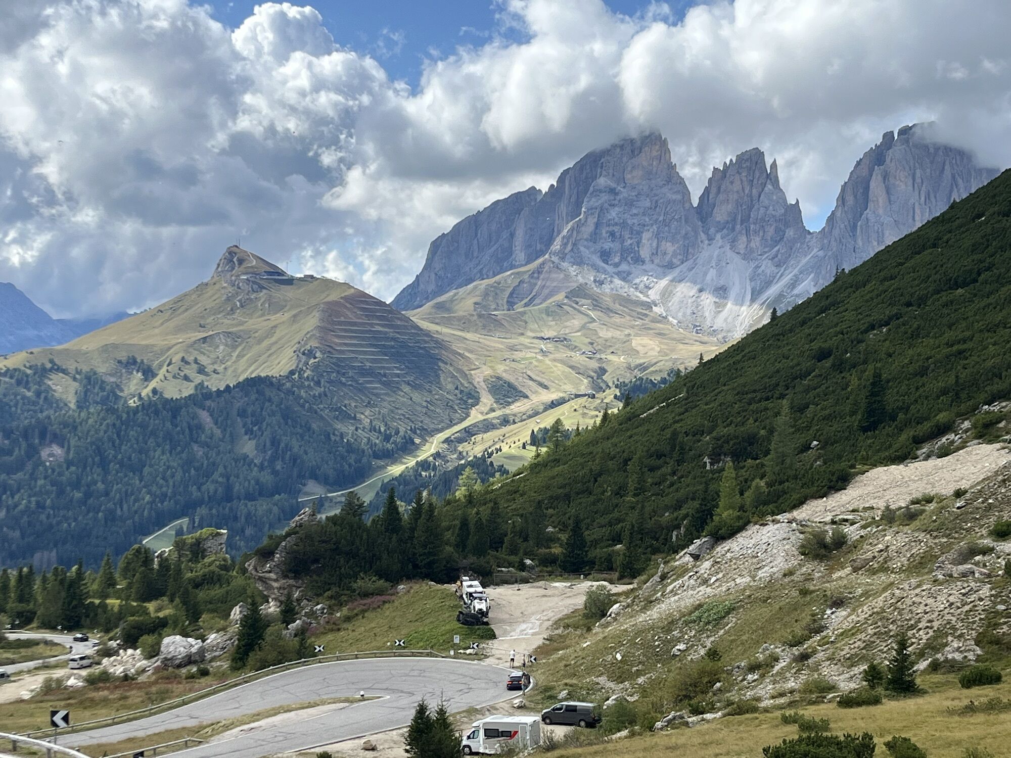


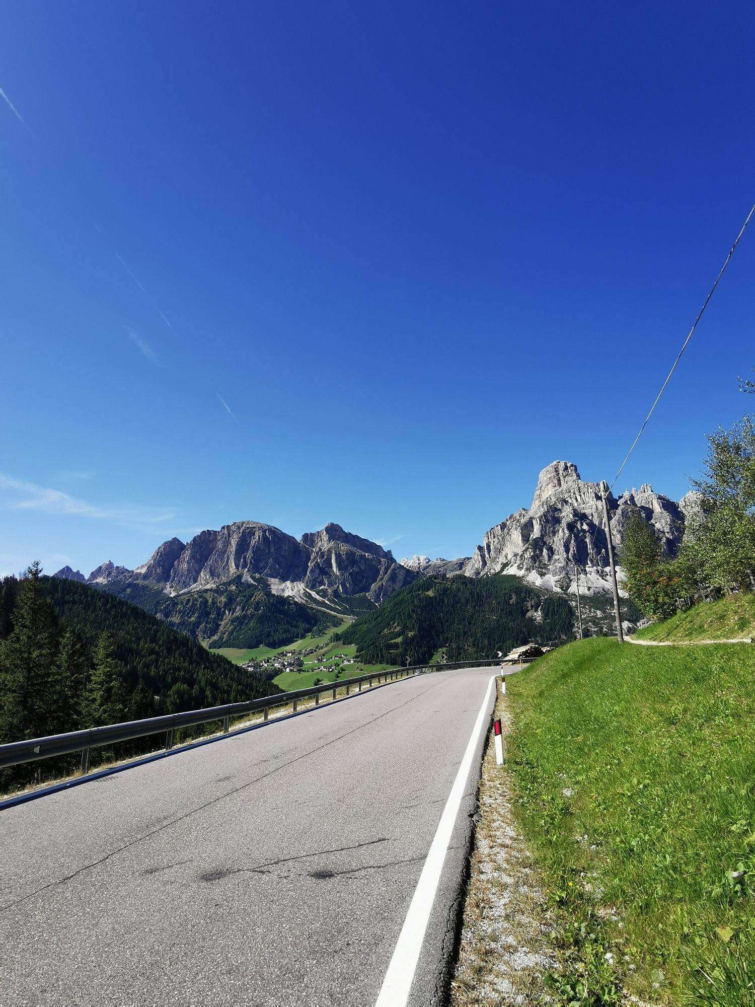


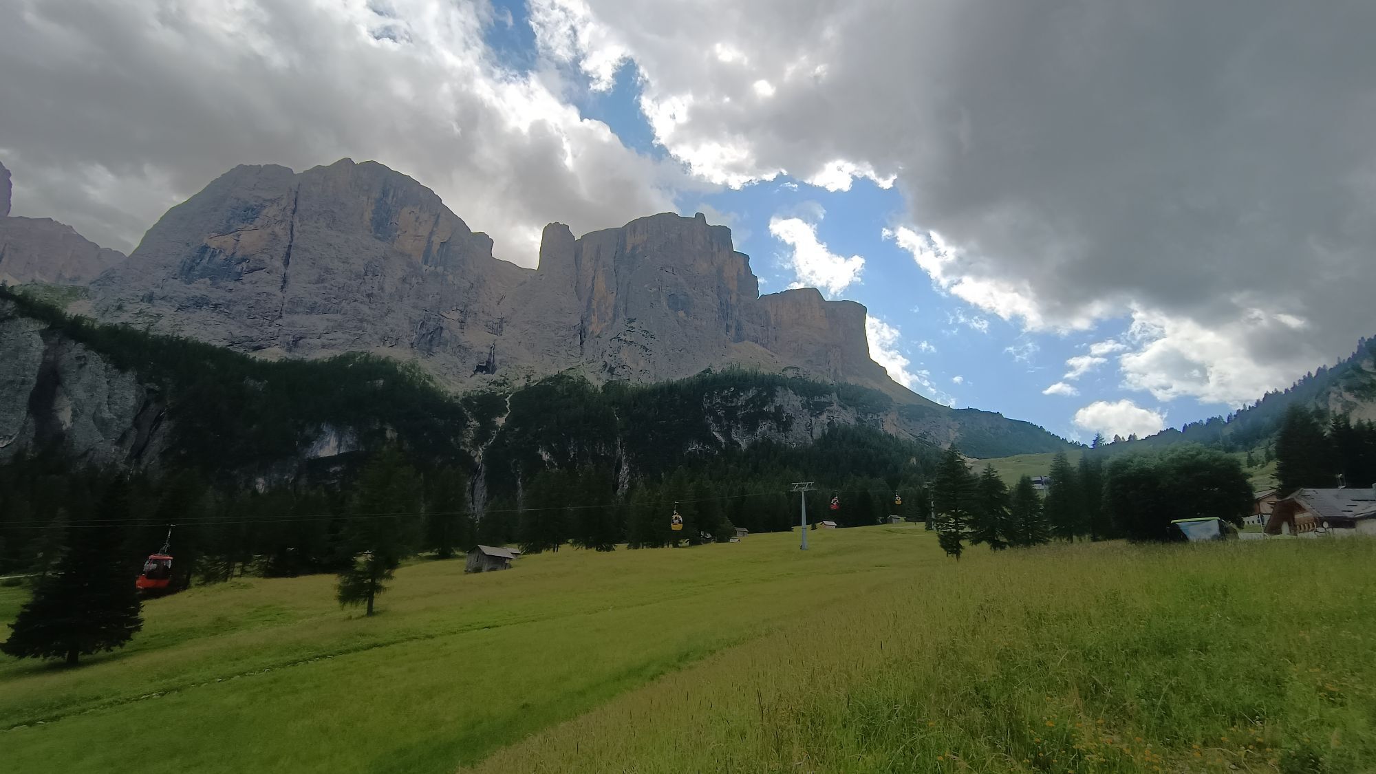
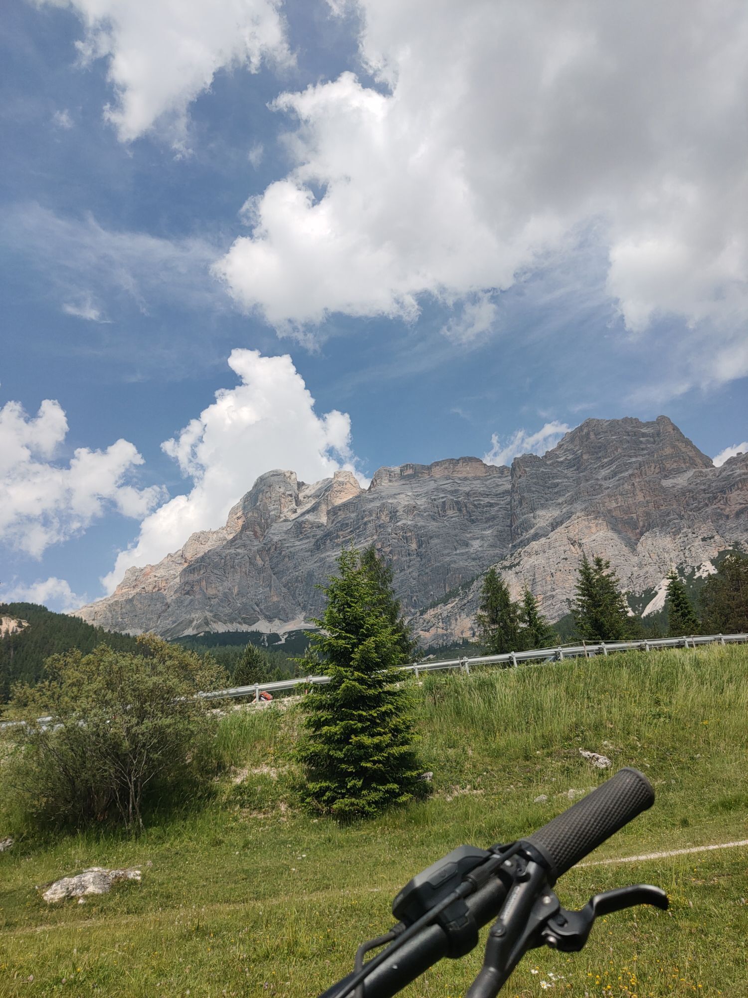


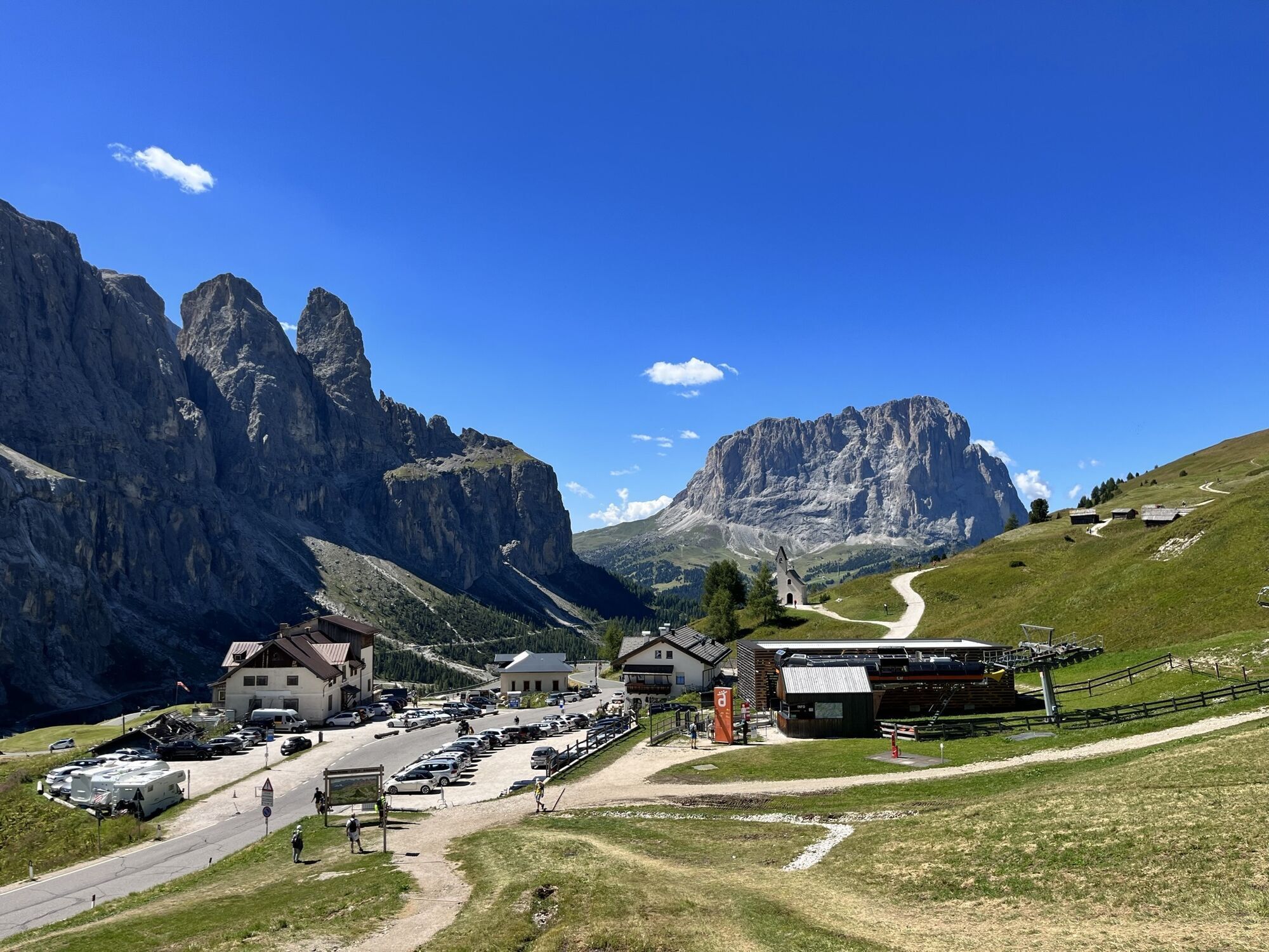


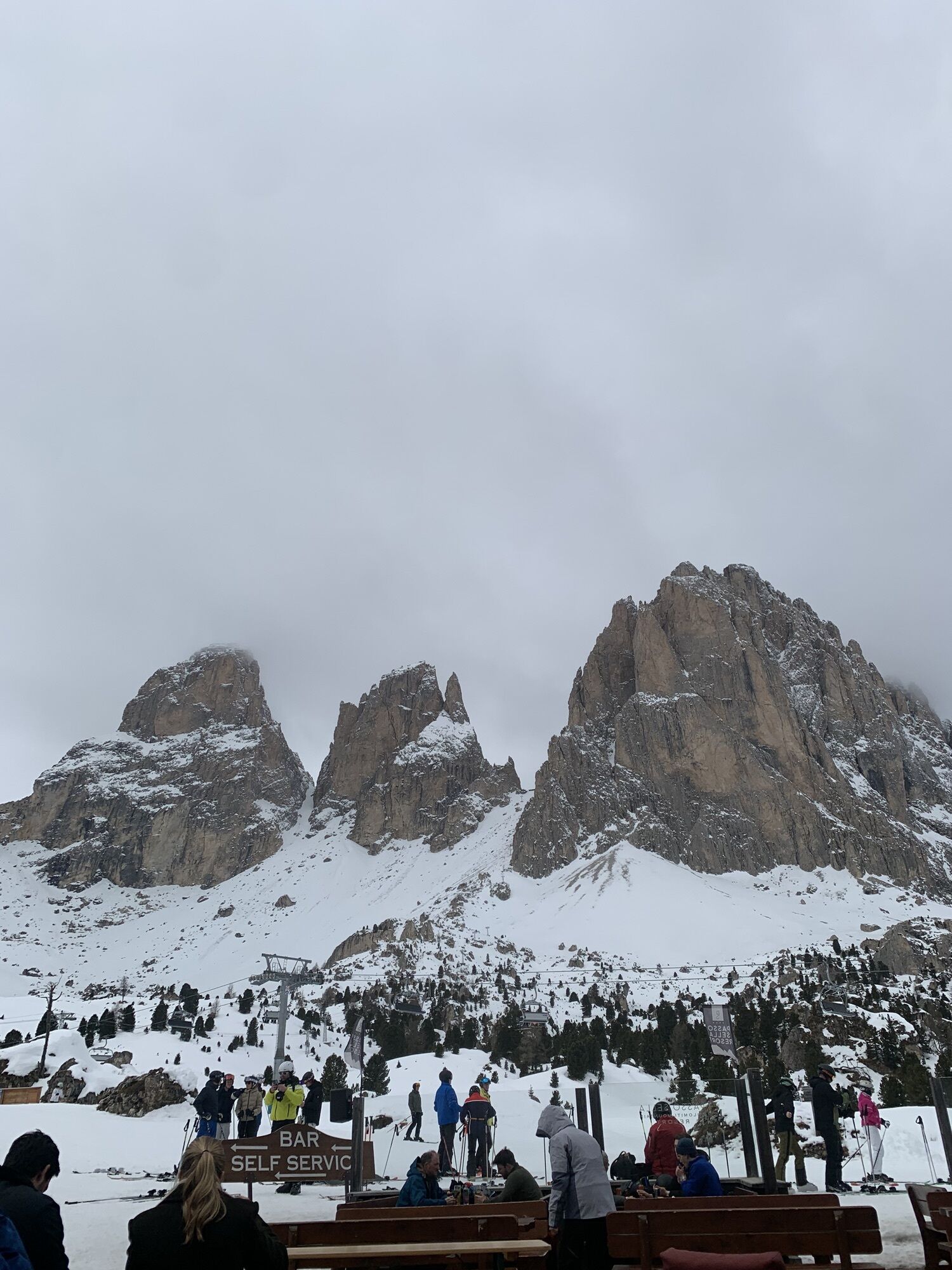

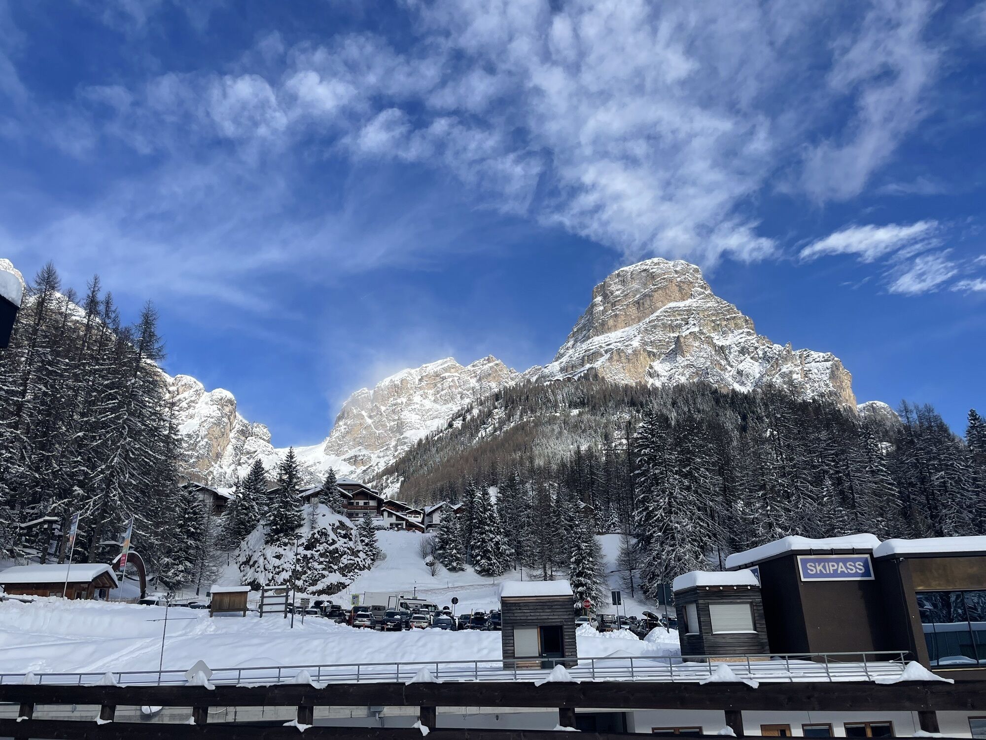


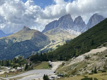
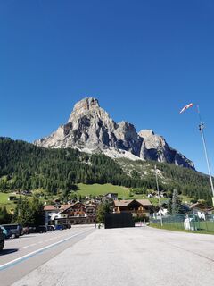
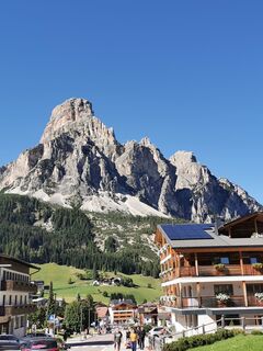
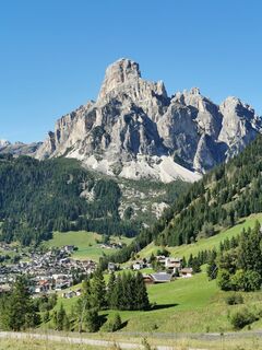
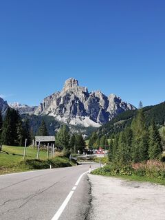
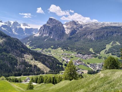
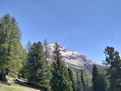
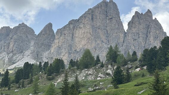
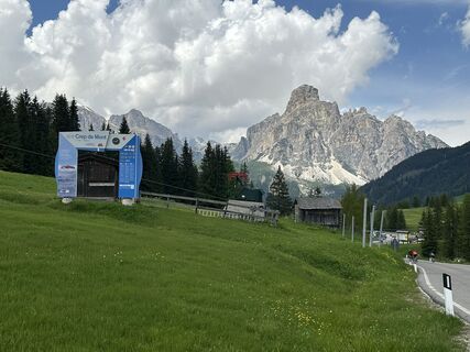
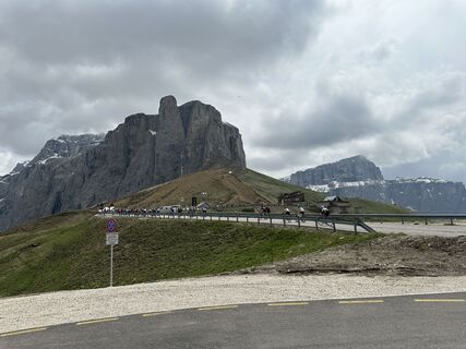
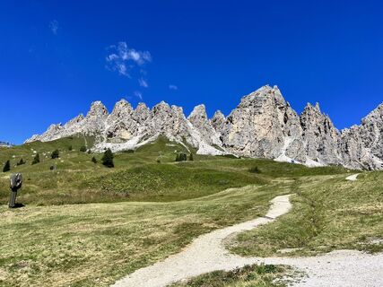
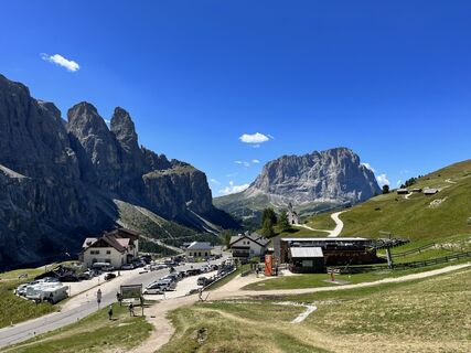
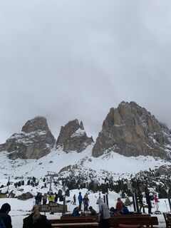
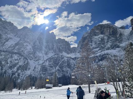
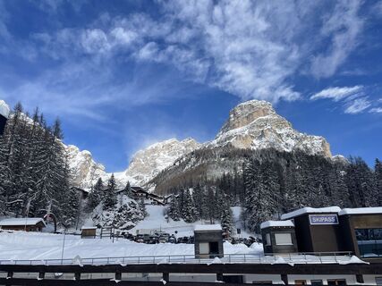
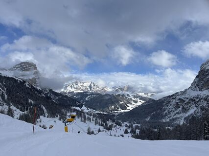
This route is known worldwide thanks to the Maratona dles Dolomites event which allows the discovery of the most spectacular and challenging passes of the Dolomites.
Even cycling without the stopwatch...
This route is known worldwide thanks to the Maratona dles Dolomites event which allows the discovery of the most spectacular and challenging passes of the Dolomites.
Even cycling without the stopwatch in hand, this route represents a true challenge with yourself: Pordoi, Sella, Gardena, Campolongo, Giau, Falzarego and again Campolongo, are in fact 7 summits to overcome, true monuments to the history of Italian cycling.
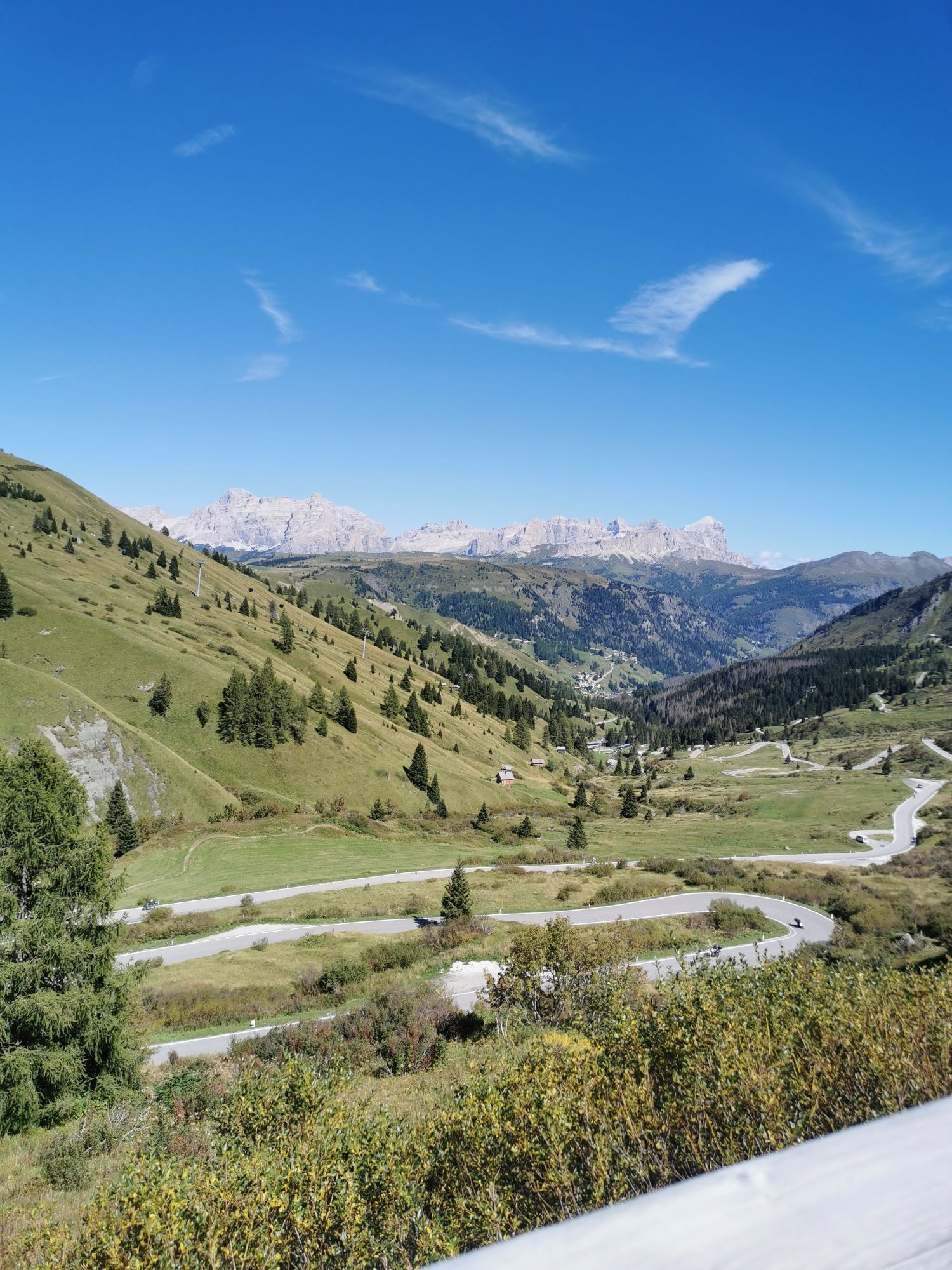
Over 4500 m of elevation gain make it clear: trained legs are needed to face them. The route becomes very tough with the arrival of the fearsome Passo Giau and becomes downright infernal on the final climb to the summit of Passo Valparola, with gradients up to 13%.

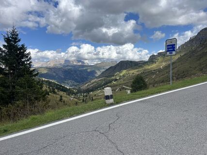
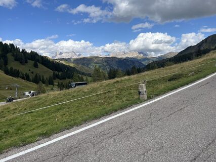
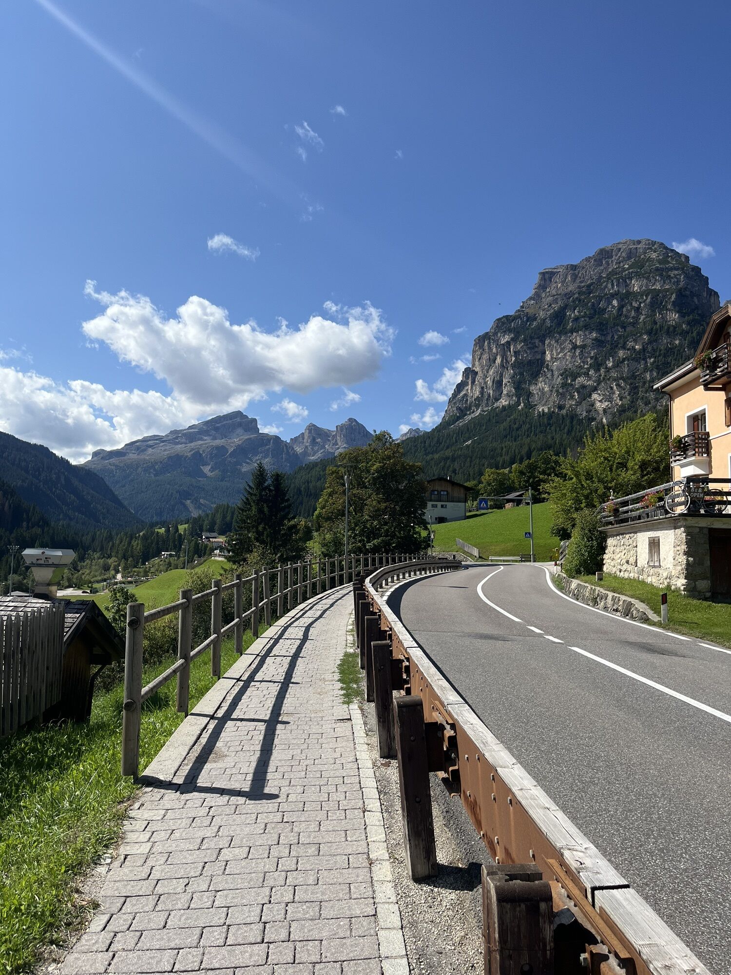
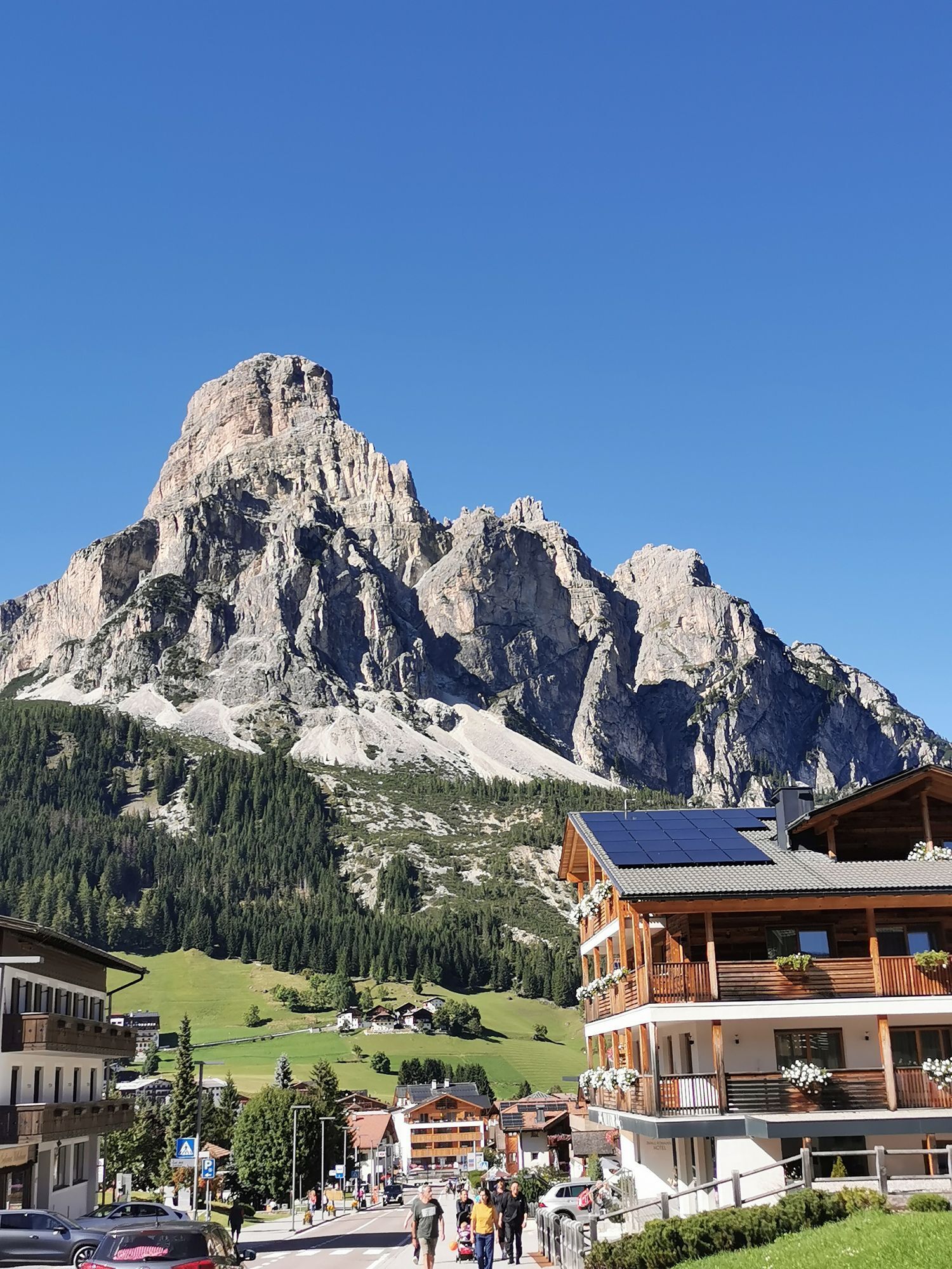
Clockwise direction: from Arabba center, climb the hairpins of Passo Pordoi. About halfway down is the junction that climbs Passo Sella, whose descent will lead you to the locality "Pian de Gralba" where you will find the junction for Passo Gardena, which will take you to Corvara.
From Corvara, turn right and, climbing Passo Campolongo, cross the Fodom Valley to the hamlet "Cernadoi", where there is the junction for Passo Falzarego. At the top begins the pleasant descent to the locality "Pocol" from where the infernal hairpins of Passo Giau start, whose equally fearsome descent will lead you, passing through the center of Colle Santa Lucia, back to the junction of "Cernadoi", where you will climb Passo Falzarego to reach the summit of Passo Valparola. From here, descend to La Villa, at the roundabout turn left and, passing through Corvara, climb Passo Campolongo, returning to Arabba.
Counterclockwise direction: from Arabba center, with the pleasant ups and downs of Dolomites Road no. 48, which passes through the village of Pieve di Livinallongo, reach the hamlet "Cernadoi" where there is the junction for Colle Santa Lucia and the dreaded Passo Giau. Once at the top, descend its equally fearsome descent to the locality "Pocol", where there is the junction for Passo Falzarego. At the top, turn right and, with a short but quite tough climb, reach the plateau of Passo Valparola, whose descent will lead you to La Villa in Badia.
At the roundabout in the center, turn left and, arriving at Corvara center, turn right towards Colfosco to take Passo Gardena. After crossing the summit, descend to the locality "Pian de Gralba" where you will find the junction for Passo Sella, halfway through which you will find the junction for Passo Pordoi which, with its 33 panoramic hairpins over the Fodom Valley, will take you back to Arabba.
Áno
The cyclist's kit:
spare inner tube repair patches for the inner tube CO2 inflator and cartridges tire lever mini pump "inflate and repair" spray can multitool kit chain breaker money insect bite sticks food (energy bars, snacks, dried fruit, fresh fruit) mobile phone (save useful local and emergency numbers and health information) bottles (one with water, one with water + mineral salts) gloves helmet helmet liner bandana anti-glare glasses wind- and rainproof jacketThe roads are open to car traffic; it is recommended to moderate speed according to your abilities and respecting other users and the highway code.
Always let someone know where you are headed and the approximate duration of the excursion.
The emergency phone numbers are 112 or 118 (ambulance).
By car
From Innsbruck take the Brenner Autobahn A22 to the Bressanone toll station, then continue through Val Pusteria, Val Badia, and Passo Campolongo. From Verona/Milan take the Brenner Autobahn A22 to the Egna Ora toll station, then continue through Val di Fiemme, Val di Fassa, Passo Pordoi and Arabba. From Venice take the A27 motorway, Belluno exit, then follow the Agordina 203 to Agordo, Caprile and Arabba.By train
Nearest train stations:
Belluno - 70 km Brunico - 48 km Ponte Gardena - 51 kmBy bus
Brunico - 47 km connection via SAD line www.sad.it Belluno – 70 km connection via Dolomitibus line www.dolomitibus.itBy plane
Venice Treviso/Venice Marco Polo – 160/170 km Innsbruck - 140 km Verona – 270 km Milan Bergamo/Milan Malpensa - 310/400 kmLarge clearings and resting areas along the passes.
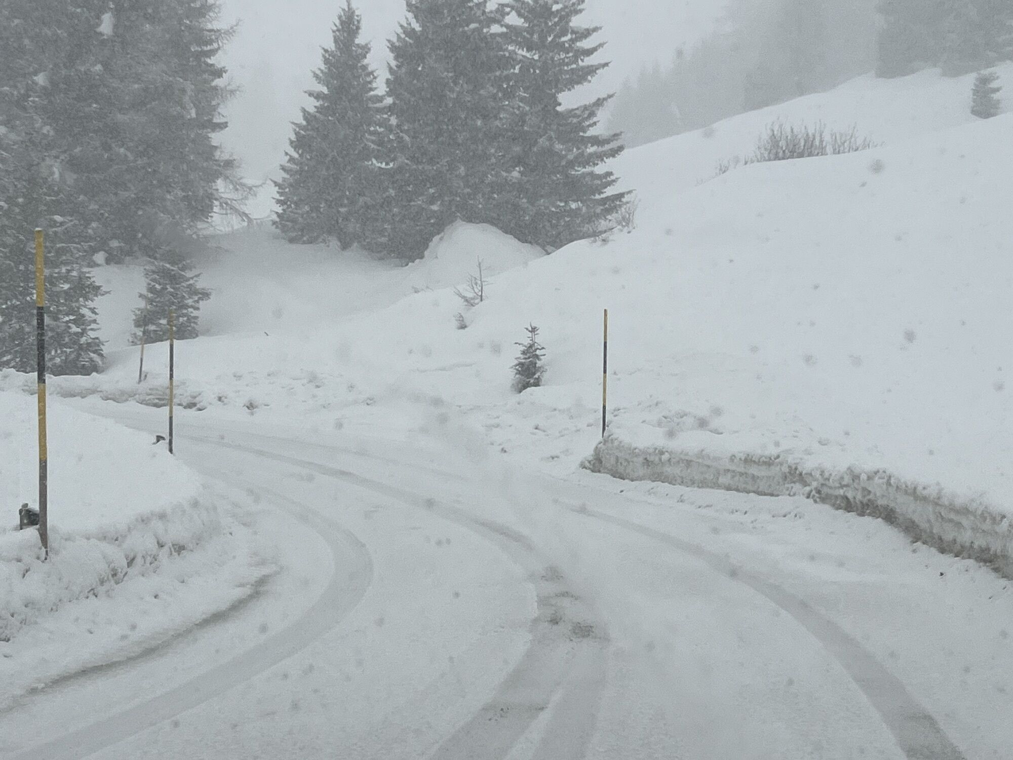
Before leaving, we recommend you check the weather, which changes quickly in the mountains, and the route conditions.
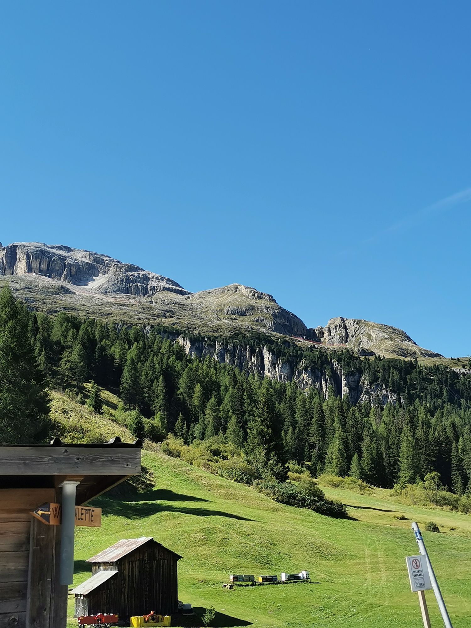
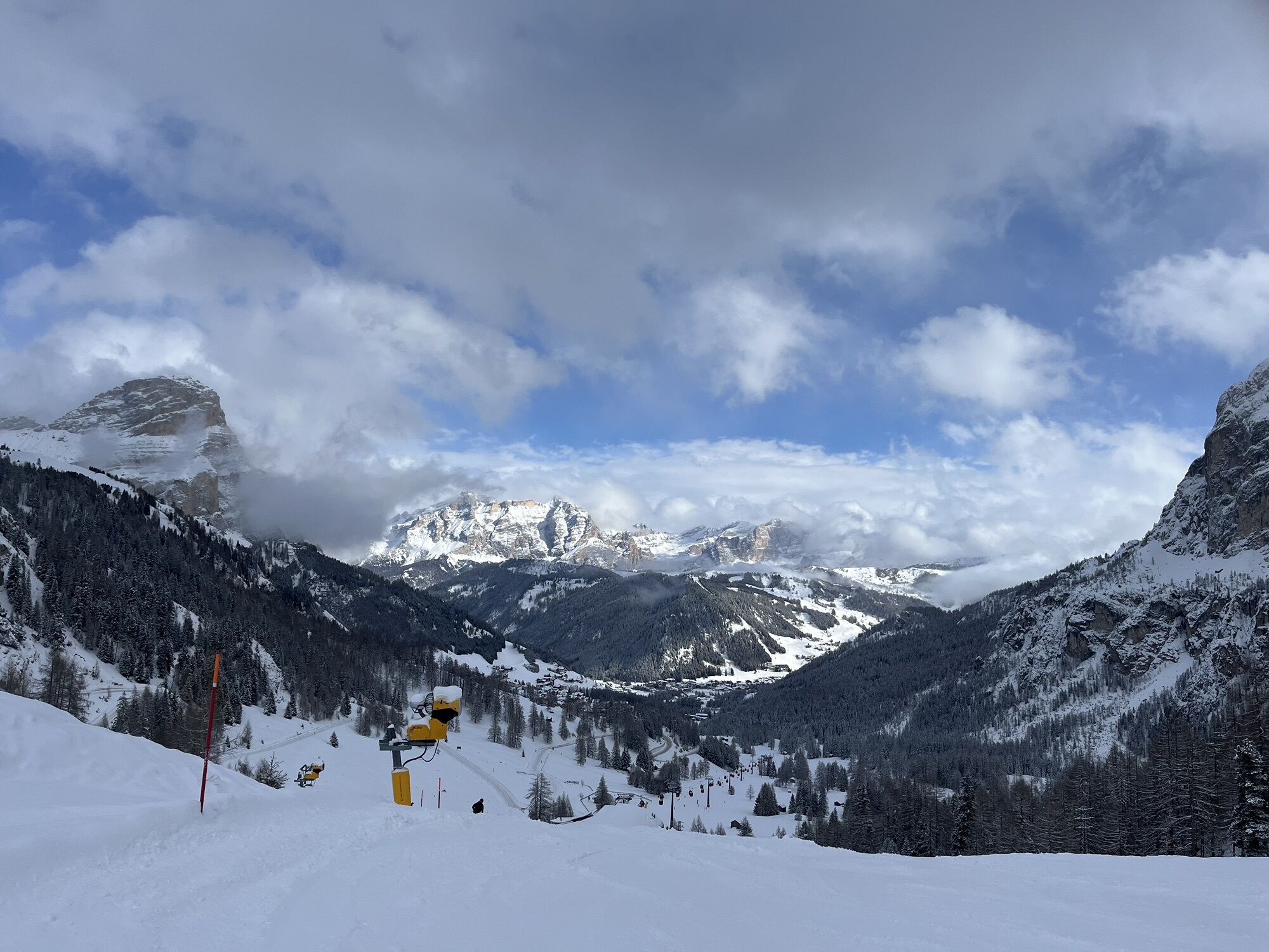
A short refreshment break is recommended at the top of the various passes to admire the splendid panorama of the Dolomites.
Webové kamery z prehliadky
-
Ciampinoi
-
Plan de Gralba
-
Pedraces
-
La Villa - Alta Badia
-
Roncato da Socrepes
-
Tublà
-
Col dei Rossi
-
Colfosco
-
St. Kassian - Armentarola
-
Santa Fosca - Campo Scuola
-
St. Kassian - Armentarola
-
St. Christina
-
Rifugio Bioch - Alta Badia
-
Rifugio Maria Sass Pordoi
-
Ra Valles
-
Ra Valles
-
Ra Valles
-
Ra Valles
-
Ra Valles
-
Ra Valles
-
Ra Valles
-
Arabba - Bec de Roces
-
Arabba - Porta Vescovo
-
Ciampinoi
-
Città dei Sassi
-
Dantercepies
-
Col dei Rossi
-
Col dei Rossi
-
Col dei Rossi
-
Ciampac
-
Moritzino Club - Piz la Ila
-
Campitello di Fassa - Col Rodella
-
Monte Fertazza
-
Col dei Rossi
-
Col dei Rossi
-
Col dei Rossi
-
Col dei Rossi
-
Col dei Rossi
-
Piz Arlara
Aktivity počas prehliadky
-
Corvara in Badia - Corvara, Trentino – Alto Adige/Südtirol/Italy
06.09.2025 – Cestný bicykel -

Wolkenstein, Trentino-Südtirol/Italien
30.08.2025 – Štrkový bicykel -
Wolkenstein in Gröden, Trentino-Südtirol/Italien
08.06.2024 – Cyklistika -

001-2011/07/03-08:45:18
03.07.2011 – Turistika -
001-2011/07/03-08:45:18
03.07.2011 – Turistika -
001-2011/07/03-08:45:18
03.07.2011 – Turistika -
001-2011/07/03-08:45:18
03.07.2011 – Turistika -
001-2011/07/03-08:45:18
03.07.2011 – Turistika -
001-2011/07/03-08:45:18
03.07.2011 – Turistika
Obľúbené výlety v okolí
-
4,6
Pordoi Pass - Sass Pordoi - Forcella Pordoi - Piz Boè - Boè Refuge - Forcella Pordoi - Pordoi Pass
ťažkéTuristika 8,39 km -
4,9
Lang- und Plattkofel Umrundung
strednáTuristika 17,5 km -
4,8
Langkofel-Umrundung
strednáTuristika 12,9 km -
5,0
Langkofel Klettersteig/Ferrata Furcela de Saslonch
ťažkéVia ferrata 7,07 km -
5,0
Um den Langkofel
strednáTuristika 9,76 km -
4,4
Dolomiten Sellagruppe, Alb. Col di Lana, Sas de Pordoi, Piz Boé retour 22.06.2016
strednáTuristika 5 km -
4,6
Five Towers circuit (Averau, Nuvolau and Scoiattoli huts) from Passo Giau
strednáTuristika 10,8 km -
4,8
Passo Giau roundtrip
strednáTuristika 8,10 km -
4,9
Pisciadùsteig Sella Gruppe
strednáVia ferrata 7,15 km -
5,0
Via Ferrata "Cesare Piazzetta"
ťažkéVia ferrata 9,07 km
Turistika a stopovanie


Nenechajte si ujsť ponuky a inšpiráciu na ďalšiu dovolenku
Vaša e-mailová adresa bol pridaný do poštového zoznamu.