







Cansiglio ring (short version)
Úroveň náročnosti: T2
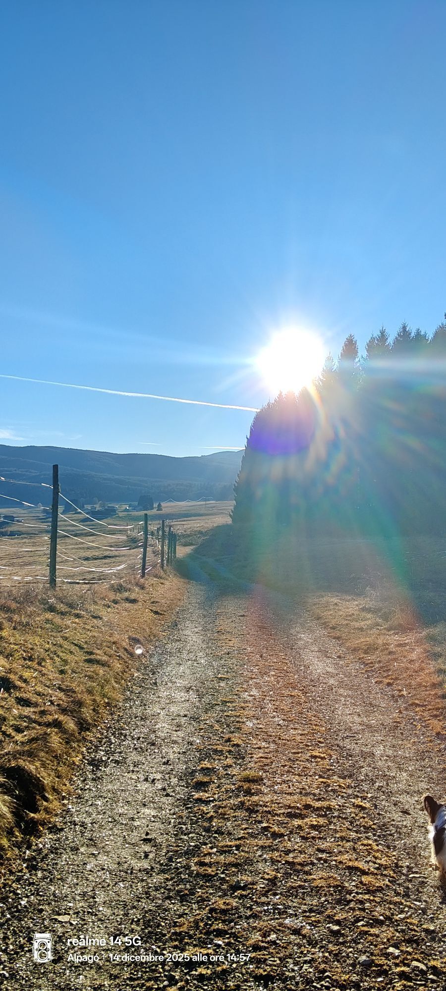
The Cansiglio Ring is an itinerary that allows a complete exploration of the famous plain, alternating between wooded environments, clearings and areas of great natural and cultural interest. The departure...
From the parking lot, climb along the path that leads toward Casera Lissandri, without reaching it, until you exit the edge of the forest. Here you turn right crossing the spruce reforestations until you reach provincial road 422, which crosses the Cansiglio plain.
The route continues through meadows and trails to the peat bog and then to the Alpine Botanical Garden "G. Lorenzoni," one of the most interesting points from a naturalistic point of view. It continues along the edge of the forest to the picnic area "Archeton," near the Golf Club, and then to the second picnic area "Bus de la Lum."
From here you skirt the forest again until you reach the La Genziana restaurant area. Crossing the provincial road, follow the path toward the Cimbrian village of Vallorch, historical evidence of the Cimbrian presence in Cansiglio. Passing an information panel on the charcoal kilns, return along the trail back to the parking lot of Albergo Sant'Osvaldo, closing the loop.
An ideal itinerary for fairly experienced hikers, perfect for those who want to combine nature, history and landscape.

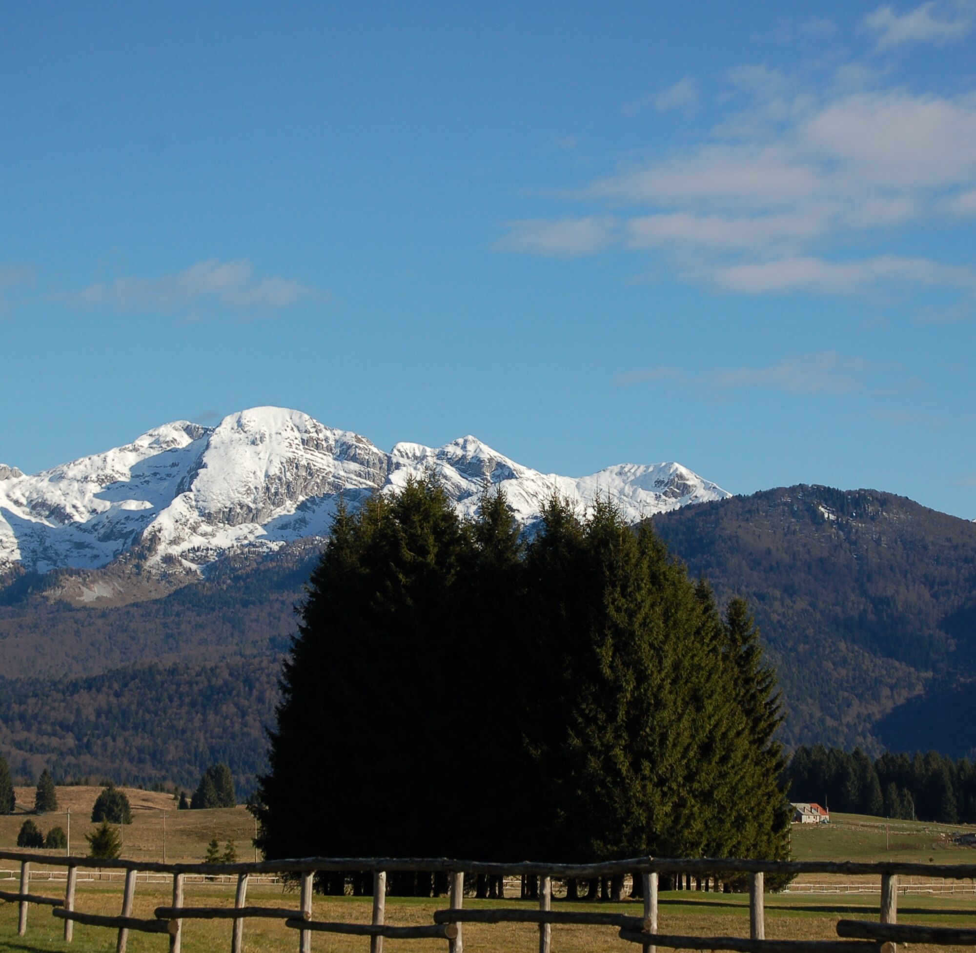

From the parking lot of Albergo Sant'Osvaldo, follow the trail to Casera Lissandri (without reaching it). You turn right into the reforestations to SP422. You cross the meadows towards the peat bog and the Botanical Garden "G. Lorenzoni," then along the edge of the forest to the picnic area "Archeton" and "Bus de la Lum." Continue to La Genziana, cross the provincial road and follow the path to the village of Vallorch. From the panel on the charcoal kilns, return along the trail to the starting parking area.
Hiking boots, backpack with water and packed lunch, waterproof/windproof jacket, layered clothing. Hiking poles recommended
Always check the weather conditions and the condition of the trails in the Cansiglio plain before departure. The trail alternates between sections in the forest and open areas: in bad weather they can become slippery or exposed to the wind. Always follow the signs and respect the natural areas crossed.
T2
Don't miss the Botanical Garden and the village of Vallorch: two key stops between nature and Cimbrian history.
Získajte prehľad
Vždy naživo na mieste s viac ako 9 500 webovými kamerami. bergfex Ako používateľ Pro si teraz môžete pozrieť príslušné webové kamery pre mnohé zájazdy v aplikácii zájazdy z. Môžete si tak priamo prezerať aktuálne podmienky.
Obľúbené výlety v okolí
-
4,0
Palantina, Colombera, and Tremol - 3 peaks above Piancavallo
ťažkéTuristika 8,70 km -
5,0
Výstup na Giro d'Italia Aviano - Piancavallo (P002)
ťažkéCestný bicykel 13,9 km -
Malghe di Collalto loop
strednáTuristika 8,67 km -
4,0
Loop along the Gerometta Path and Col Cornier
strednáTuristika 10,4 km -
Circular route of Casera Valle Friz and Arneri Refuge among karst dolines and splendid blossoms
strednáTuristika 11,7 km -
4,0
Belluno - Cima Lastè - Rifugio Carlo e Massimo Semenza - Tambre
ťažkéTuristika 11,9 km -
4,0
Policreti Path
strednáTuristika 7,33 km -
Pian del Cansiglio: Passeggiata nei dintorni di Vallorch
svetloTuristika 6,60 km -
3,0
Malghe Ring and Forcella di Giais
strednáTuristika 12,5 km -
5,0
Poiatte Nordic Walking Loop - Madonna del Runal
strednáTuristika 9,79 km
Turistika a stopovanie


Nenechajte si ujsť ponuky a inšpiráciu na ďalšiu dovolenku
Vaša e-mailová adresa bol pridaný do poštového zoznamu.





