


Teriol "Bec de Roces"
Úroveň náročnosti: 3
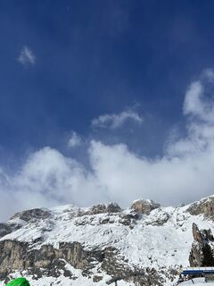
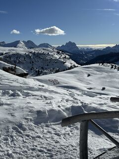
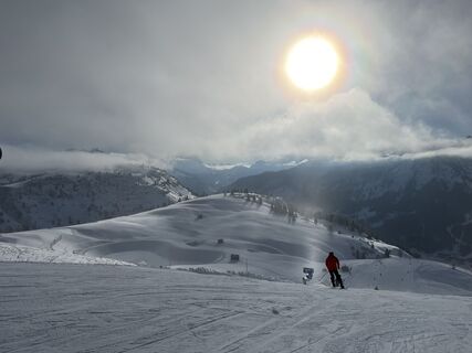
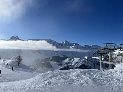
Fotografie našich používateľov
-

 © Matteo BaioccoVytvorené dňa 24.03.2026
 -
 © Matteo BaioccoVytvorené dňa 24.03.2026
 -
 © Jana KnedlíkováVytvorené dňa 06.03.2026
 -
 © BlacherVytvorené dňa 06.03.2026
 -
 © BlacherVytvorené dňa 03.03.2026
 -
 © BlacherVytvorené dňa 01.03.2026
 -

 © sam1007Vytvorené dňa 28.02.2026
 -
 © Kozielska HanaVytvorené dňa 23.02.2026
 -
 © Jakub VašekVytvorené dňa 23.02.2026
 -
 © DaBobBarleyVytvorené dňa 20.02.2026
 -
 © Theo Meyers 1Vytvorené dňa 17.02.2026
 -
 © Anna IwoVytvorené dňa 17.02.2026
 -
 © Maximilian HierbeckVytvorené dňa 15.02.2026
 -

 © Steffen7weberVytvorené dňa 13.02.2026
 -

 © Alessio LorenziVytvorené dňa 08.02.2026
 -
 © Fehér KristófVytvorené dňa 02.02.2026
 -
 © Fehér KristófVytvorené dňa 02.02.2026
 -
 © Robert PrußVytvorené dňa 23.01.2026
 -
 © Robert PrußVytvorené dňa 19.01.2026
 -
 © Vida BurjaVytvorené dňa 06.09.2025
 -
 © BaumiVytvorené dňa 11.07.2025
 -
 © BaumiVytvorené dňa 11.07.2025
 -
 © BaumiVytvorené dňa 11.07.2025
 -
 © BaumiVytvorené dňa 11.07.2025
 -
 © BaumiVytvorené dňa 11.07.2025
 -
 © BaumiVytvorené dňa 11.07.2025
 -
 © Erich BruckmüllerVytvorené dňa 18.03.2025
 -
 © Klaus Foissner 1Vytvorené dňa 18.01.2025
 -
 © Klaus Foissner 1Vytvorené dňa 18.01.2025
 -
 © Eberl ChristianVytvorené dňa 20.07.2024
 -
 © Eberl ChristianVytvorené dňa 20.07.2024
 -
 © Fabio InfantiVytvorené dňa 06.09.2021
 -
 © Fabio InfantiVytvorené dňa 06.09.2021


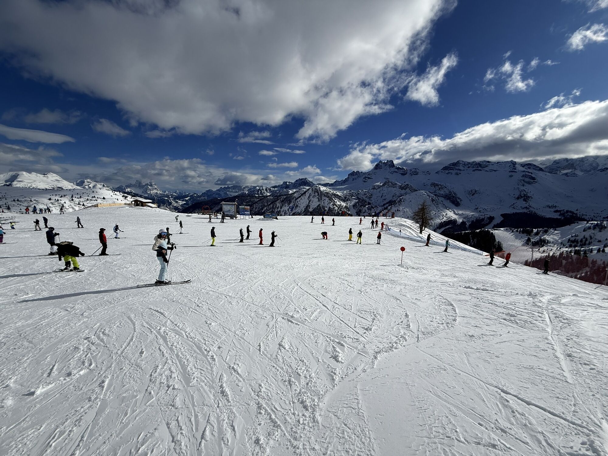

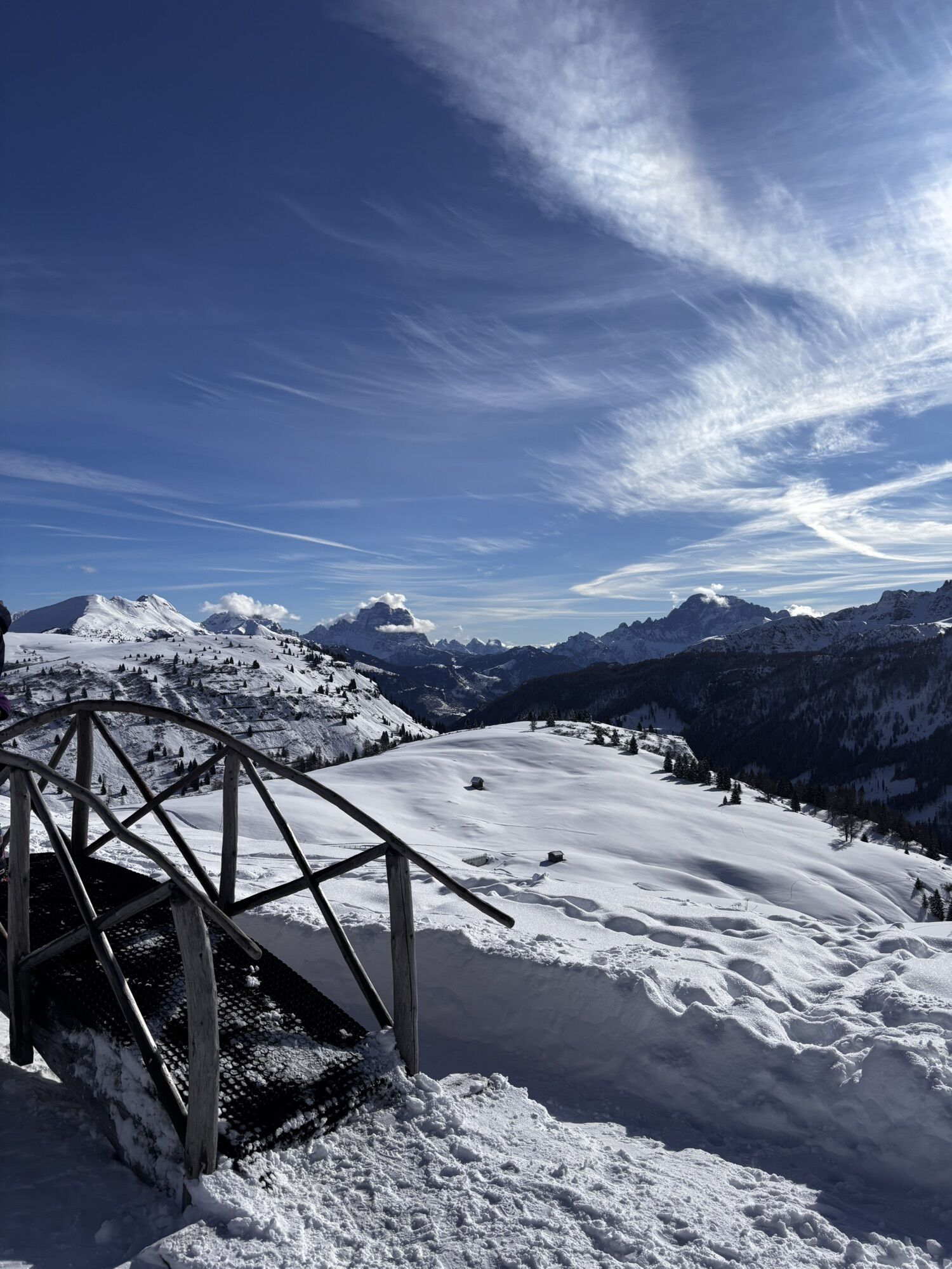


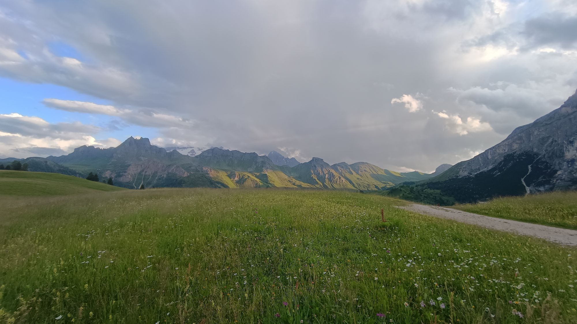
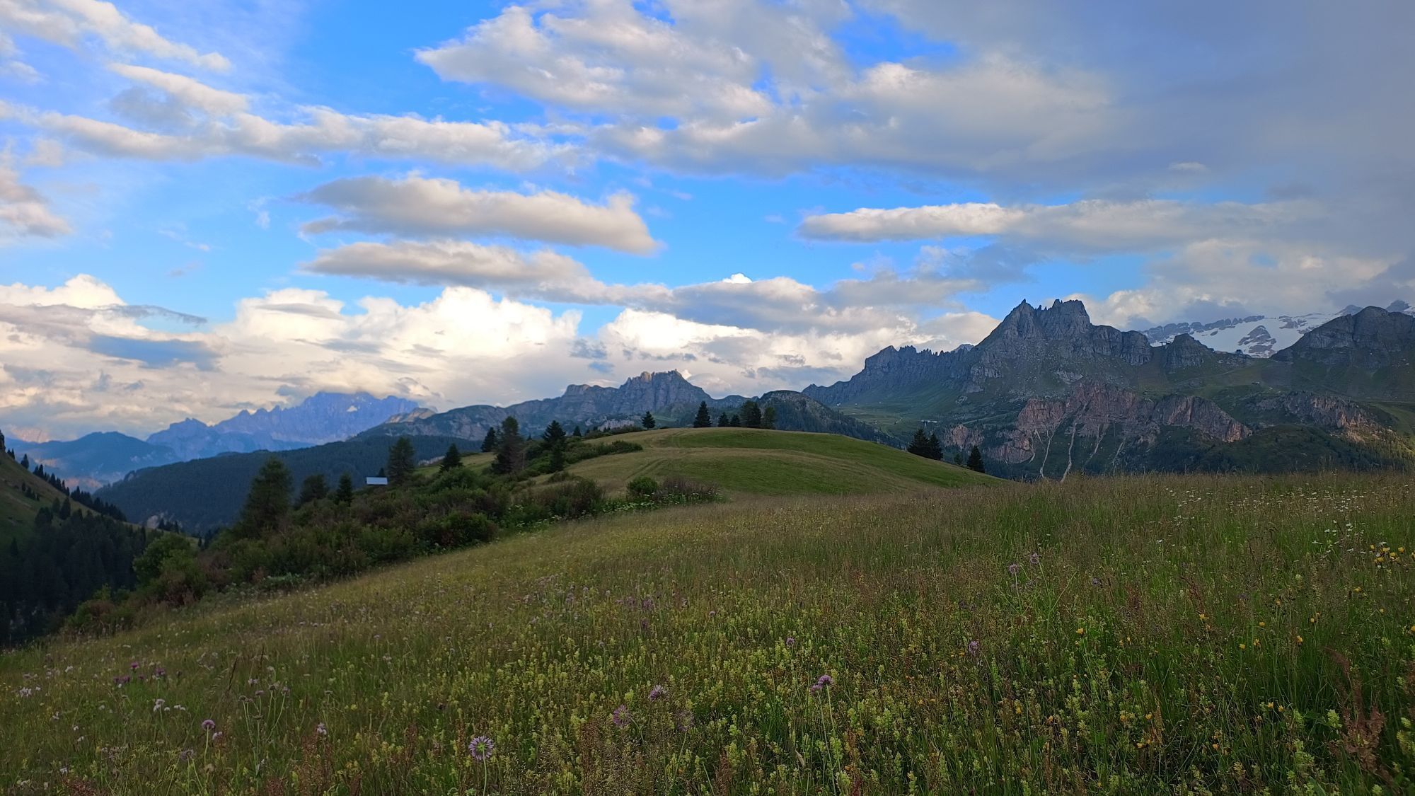
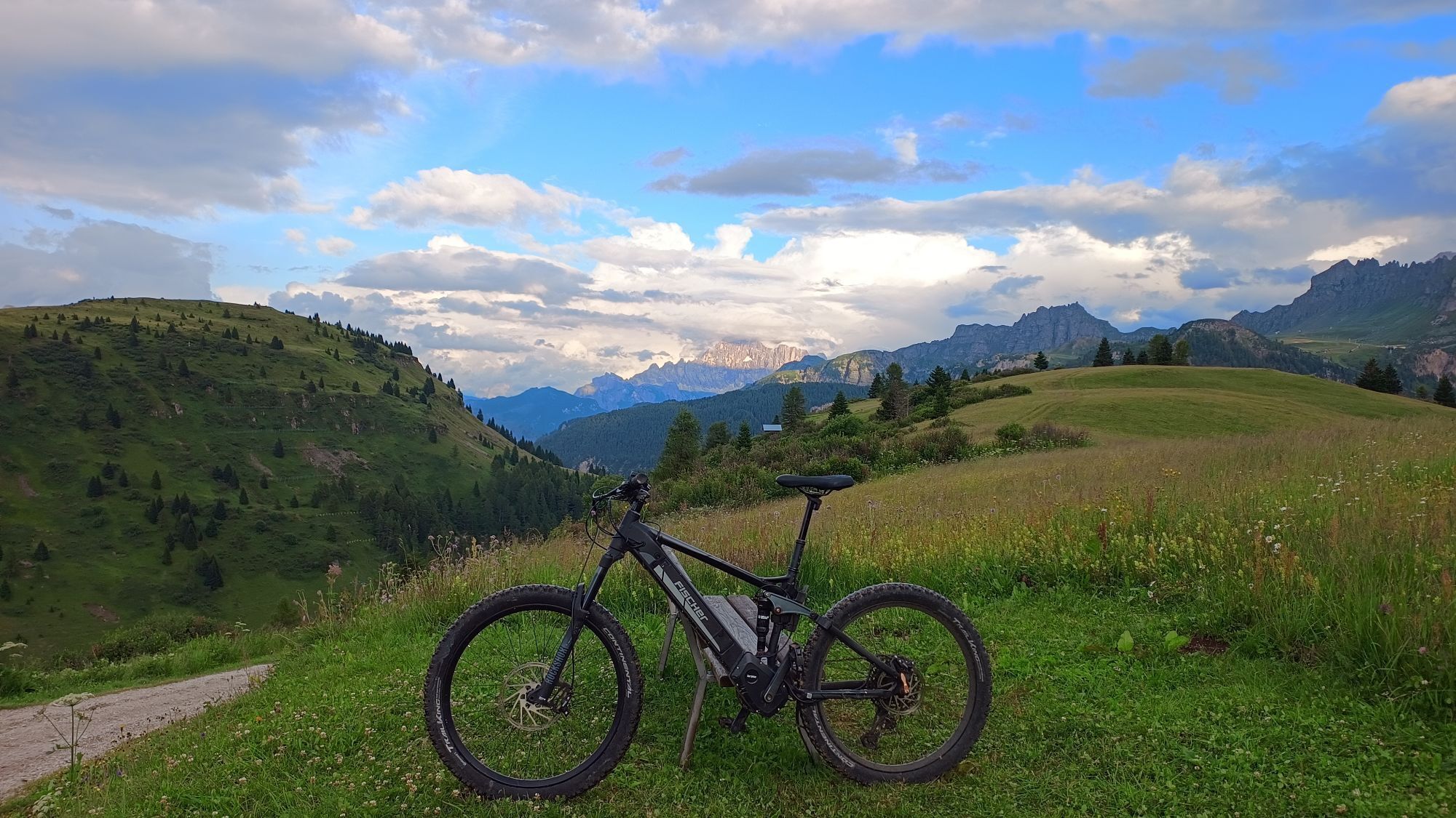


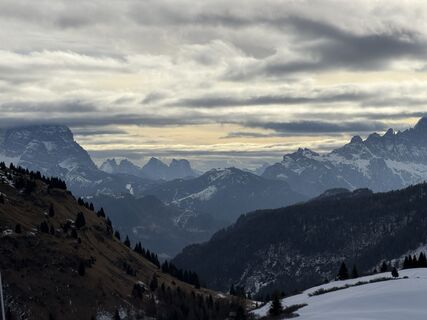
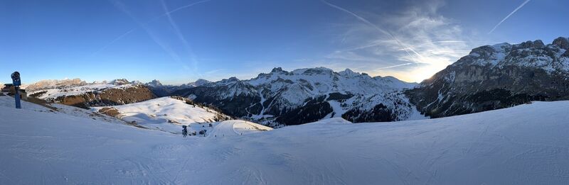
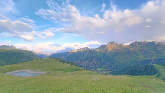
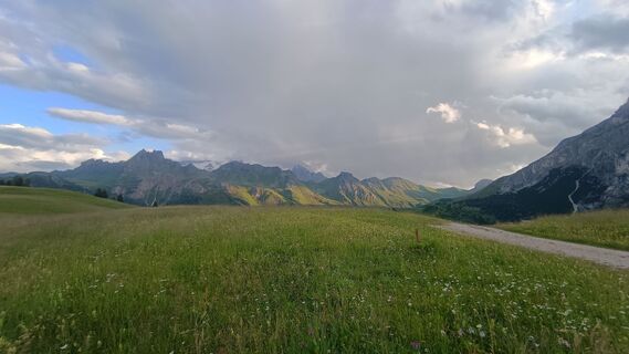
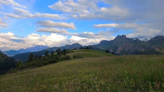
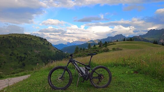
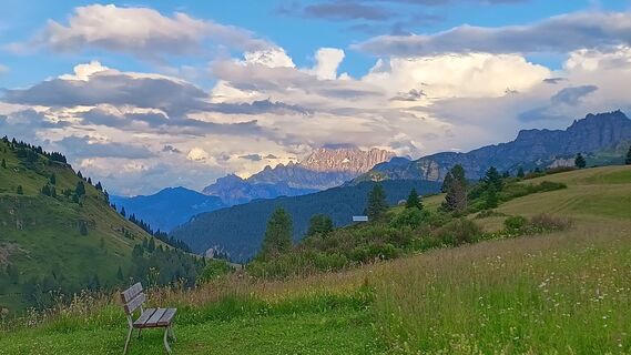
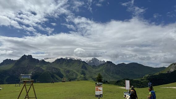
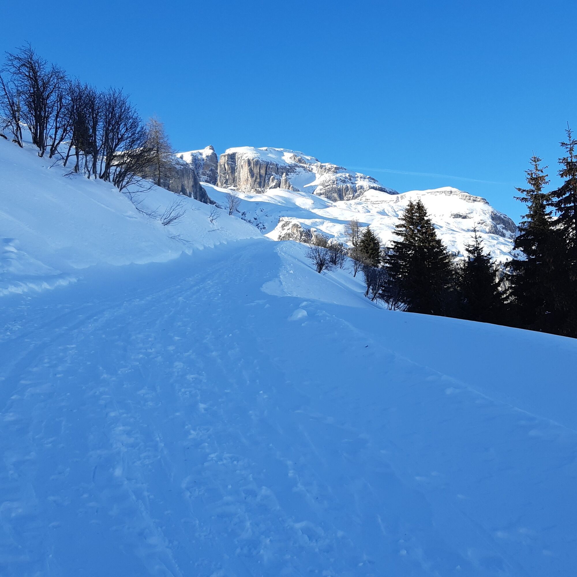
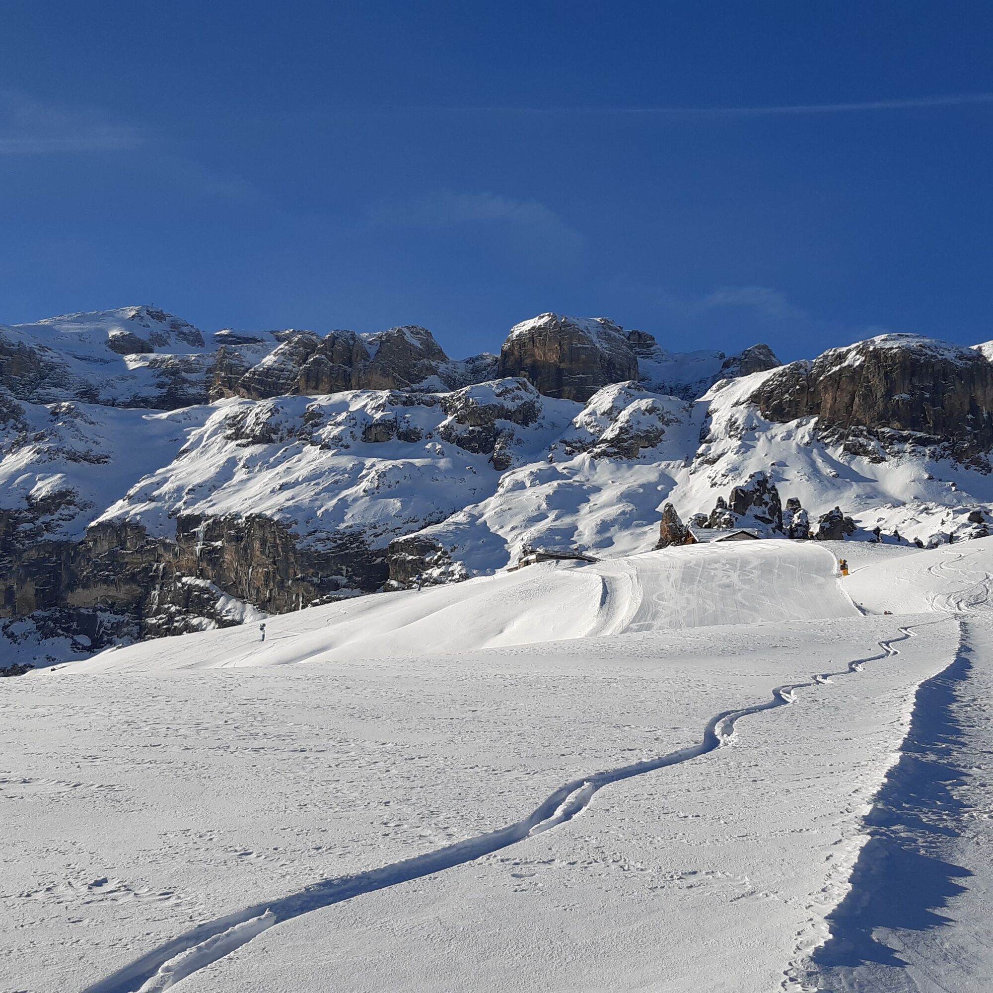
Intermediate route starting from Passo Campolongo (parking lot in front of the Hotel Monte Cherz).
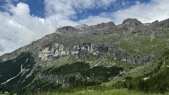
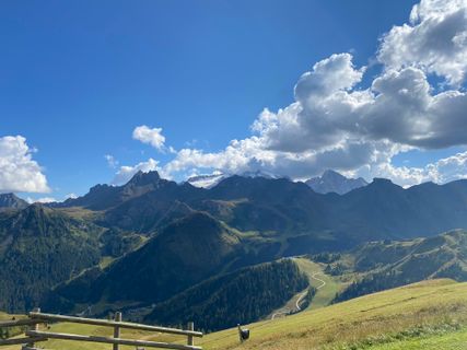
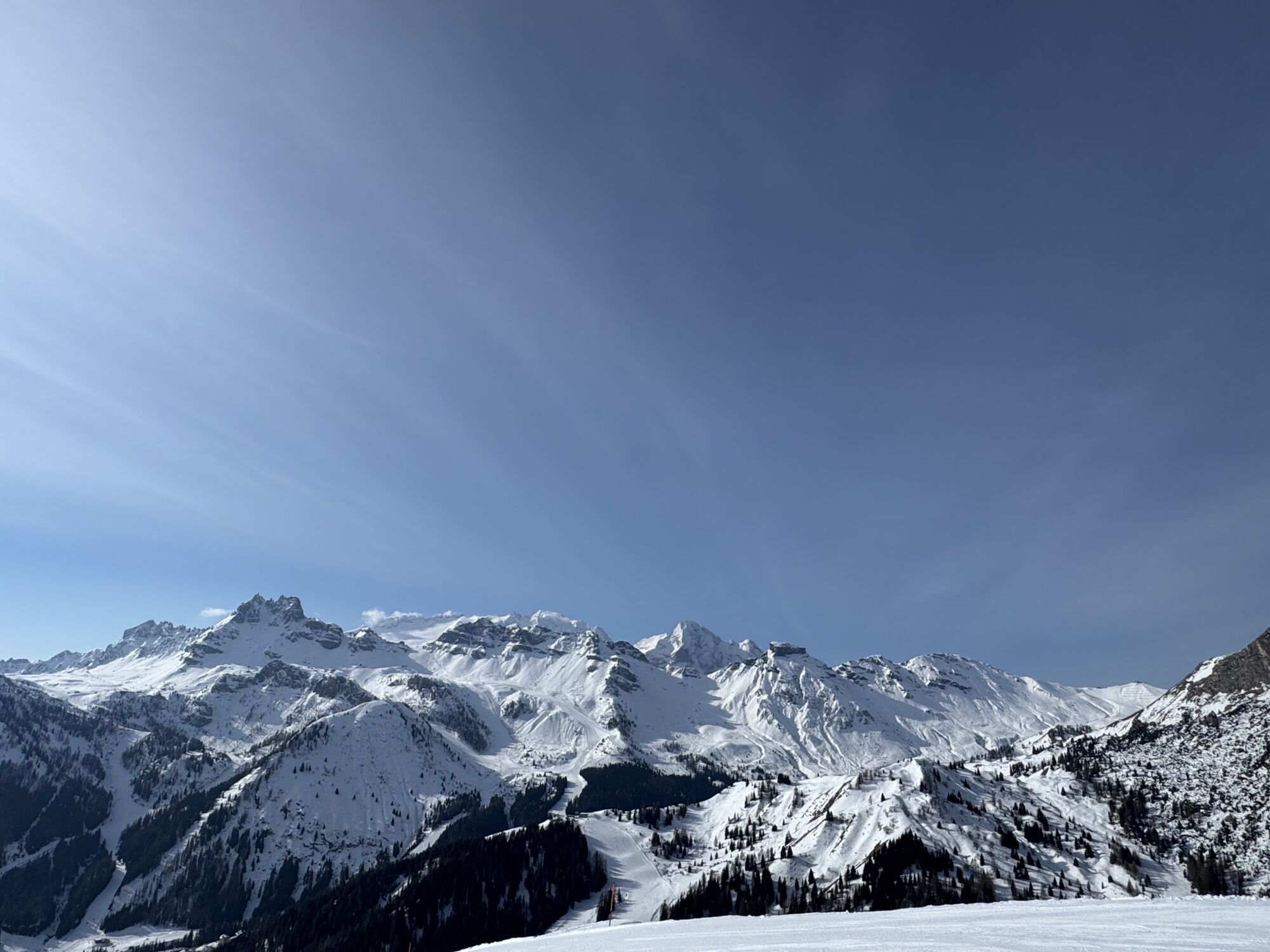
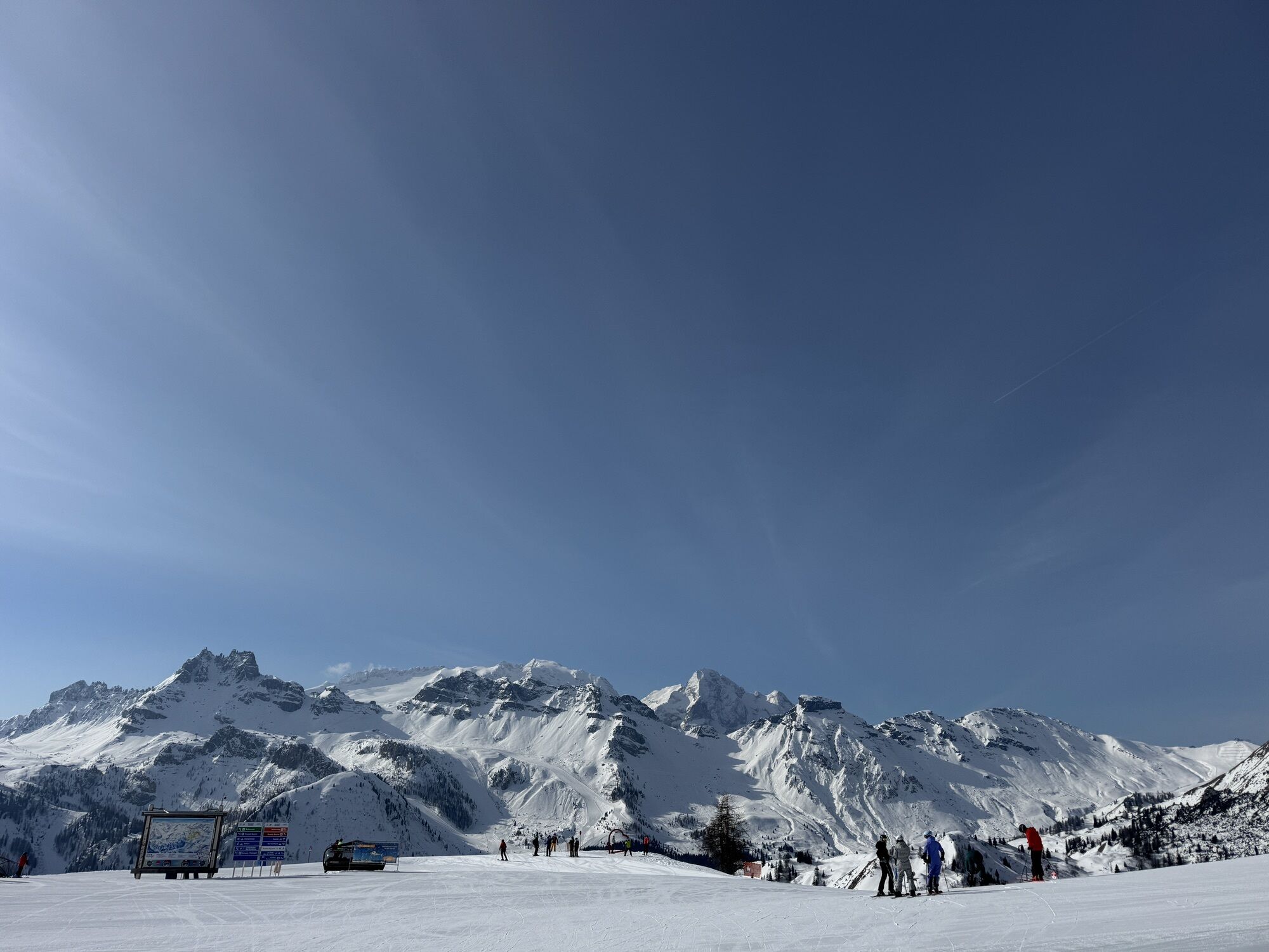
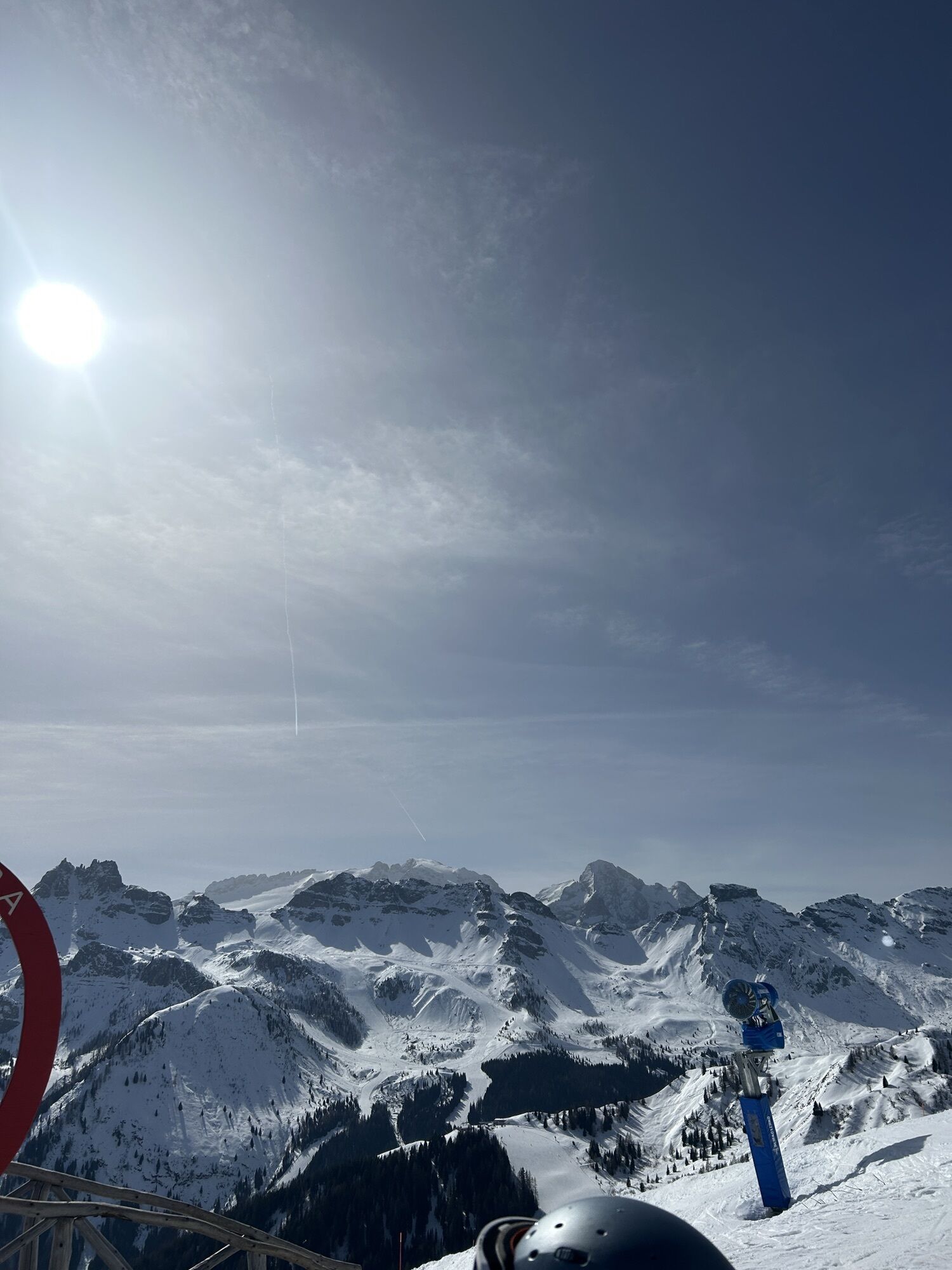
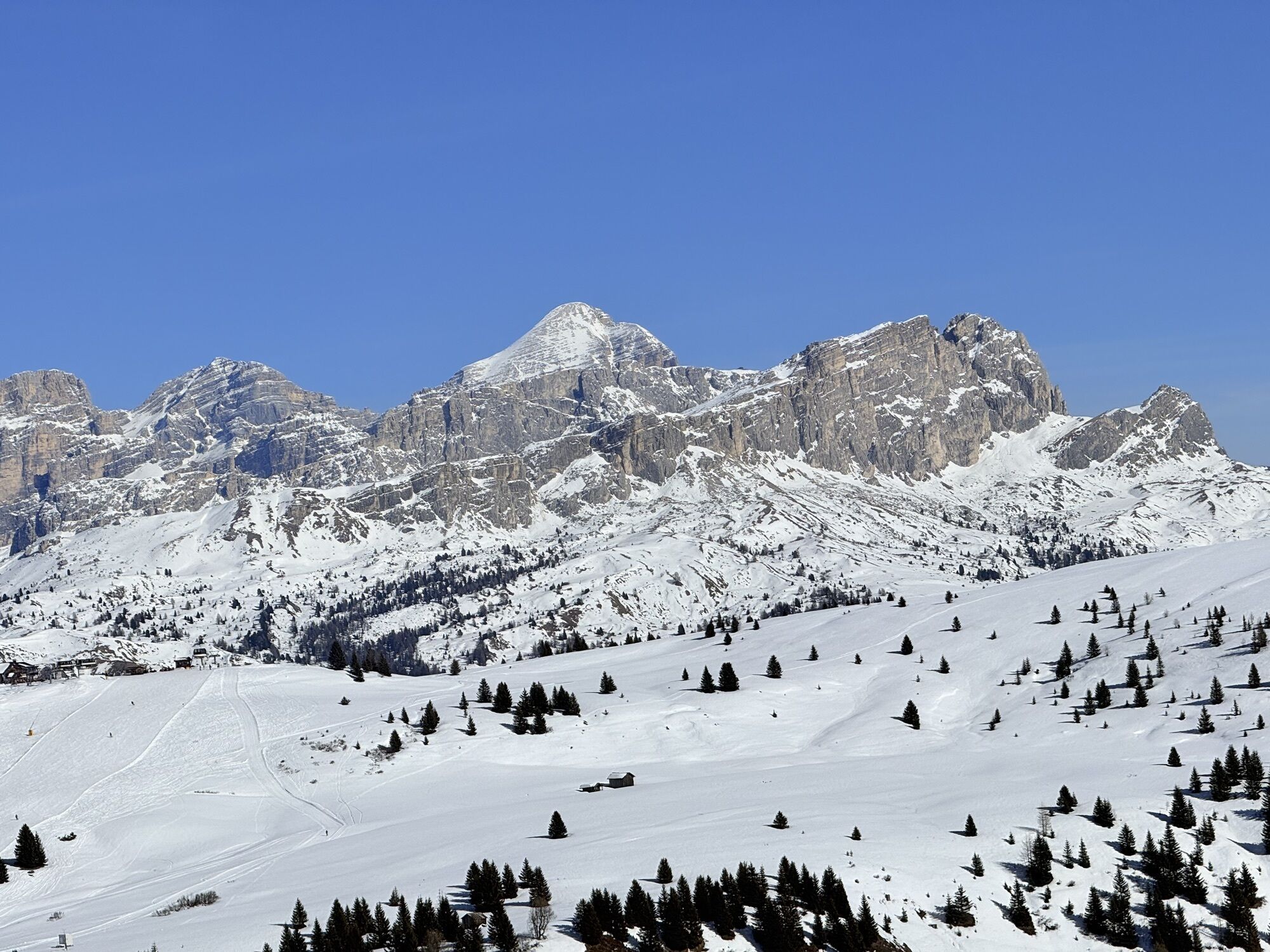
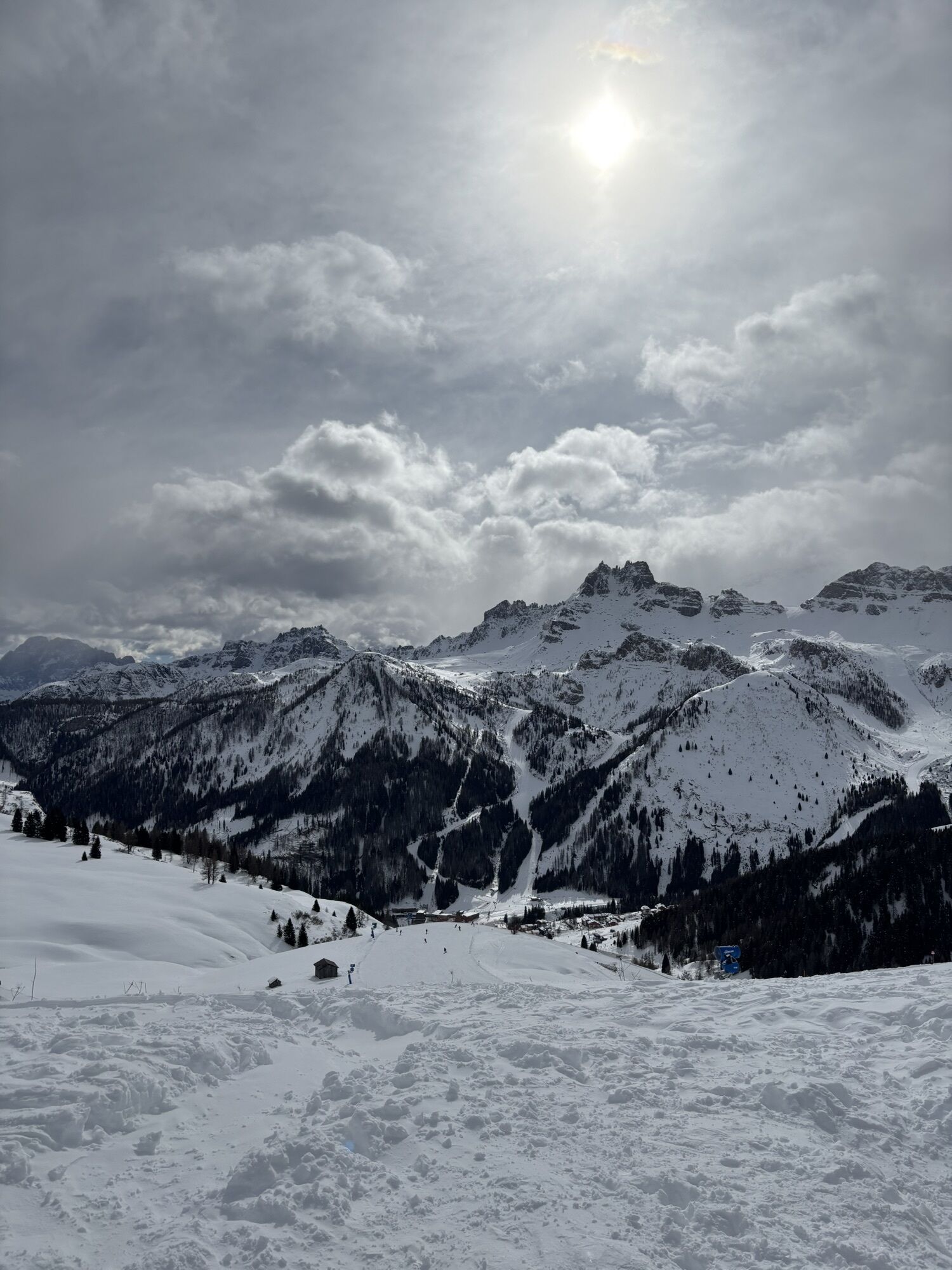
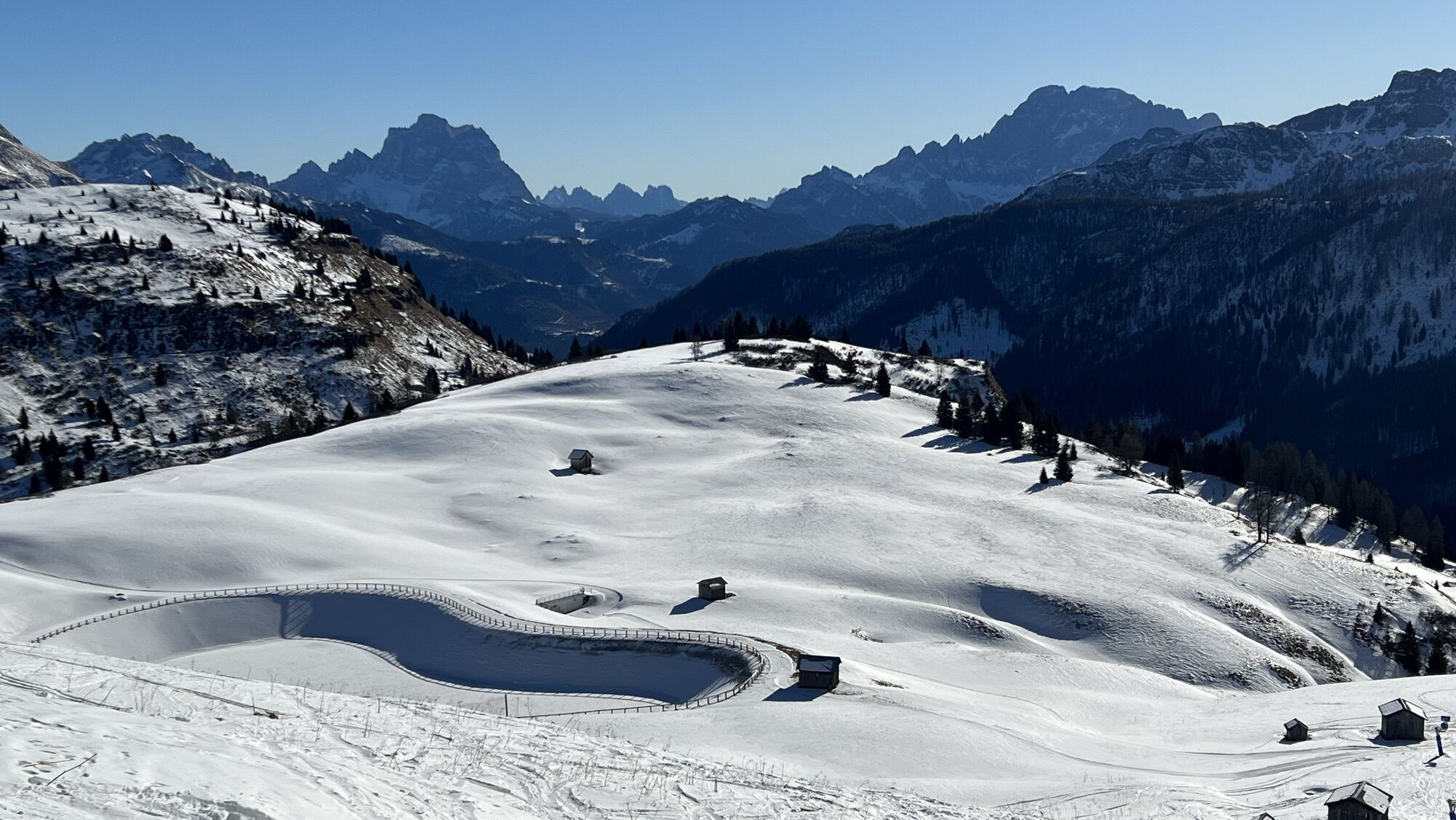
From here, take the panoramic path towards the "Bec de Roces" refuge which offers the hiker a breathtaking...
Intermediate route starting from Passo Campolongo (parking lot in front of the Hotel Monte Cherz).
From here, take the panoramic path towards the "Bec de Roces" refuge which offers the hiker a breathtaking view.
The return can be made by following the same path.

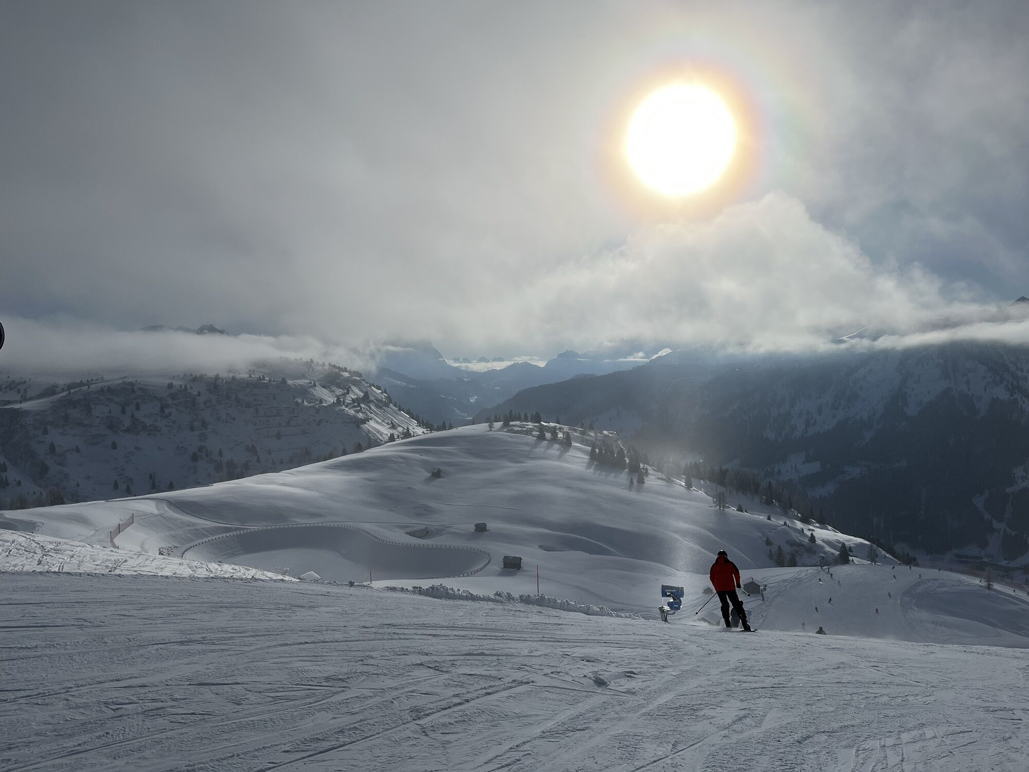
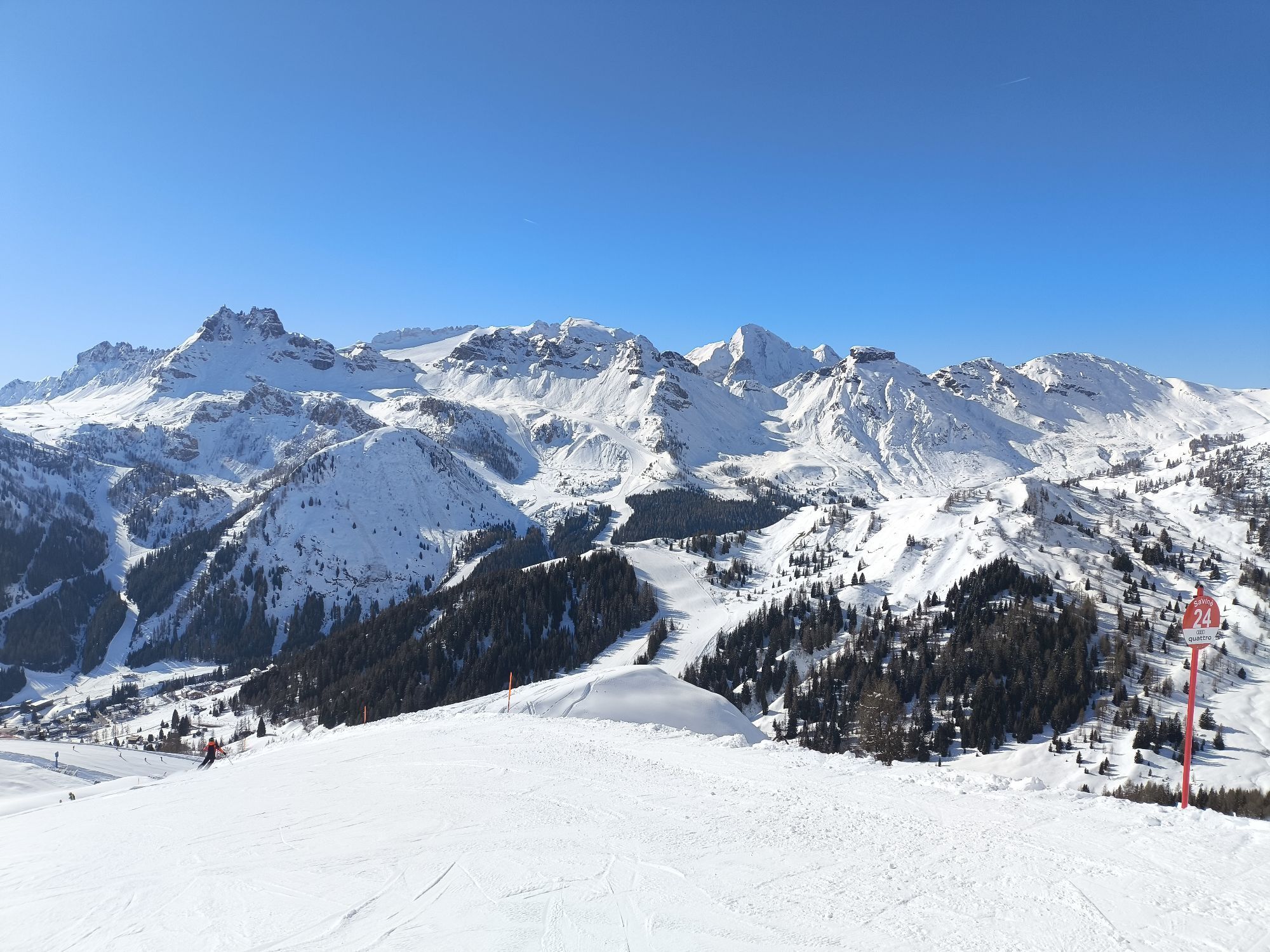
From the parking lot of the "Hotel Monte Cherz," cross the road and take the path next to the ski slope.
Áno
Áno
Áno
Áno
The snowshoer's kit:
waterproof backpack or with waterproof cover (not too large if the hike is short) topographic map (alternatively local map with recommended trails) compass and altimeter (alternatively sports watch) binoculars water bottles thermos with hot tea energy bars or snacks chocolate sandwiches (alternatively lunch at a mountain refuge) breathable T-shirt spare T-shirt (preferably breathable) sweatshirt or fleece windproof and waterproof jacket long waterproof and insulated ski pants ski socks (alternatively two pairs of socks) waterproof after-ski boots wool hat/headband ski gloves polarized sunglasses sunscreen ski poles or telescopic trekking poles snowshoesWalking on the ski slope is prohibited.
Always let someone know where you are heading and the approximate duration of the hike.
The emergency phone number is 112 or 118 (ambulance).
By car
From Innsbruck take the Brenner Motorway A22 up to the Bressanone exit, continue to Val Pusteria, Val Badia and Passo Campolongo. From Verona/Milan take the Brenner Motorway A22 up to the Egna Ora exit, continue to Val di Fiemme, Val di Fassa, Passo Pordoi, Arabba and Passo Campolongo. From Venice take Motorway A27 Belluno exit, follow the Agordina 203 to Agordo, Caprile, Arabba and Passo Campolongo.By train
Nearest railway stations:
Belluno - 70 km Brunico - 48 km Ponte Gardena - 51 kmBy bus
Brunico - 47 km service via SAD line www.sad.it Belluno – 70 km service via Dolomitibus line www.dolomitibus.itBy plane
Venice Treviso/Venice Marco Polo – 160/170 km Innsbruck - 140 km Verona – 270 km Milan Bergamo/Milan Malpensa - 310/400 kmParking available at Passo Campolongo near the start of the cable lifts or close to the "Hotel Monte Cherz".
3
"Bec De Roces" webcams https://www.arabba.it/it/webcam/5-0.html
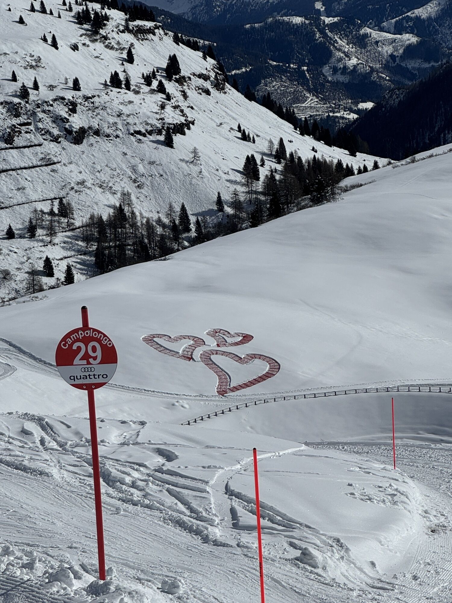
Before setting off, we recommend checking the weather, which can change quickly in the mountains, and the condition of the route.
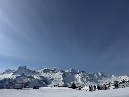
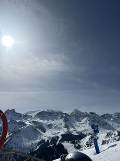
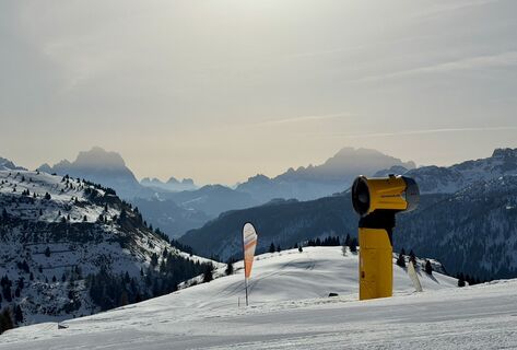
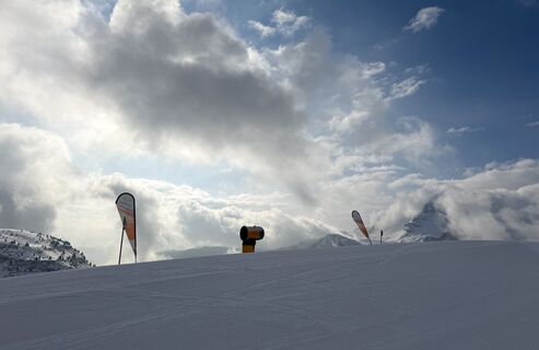
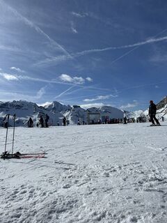
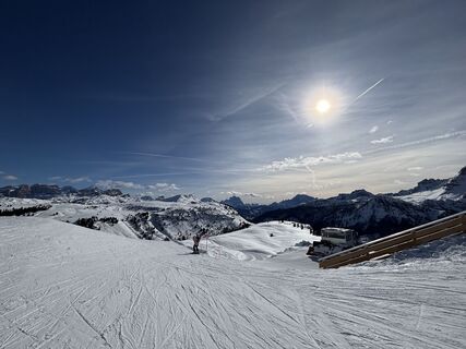
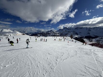
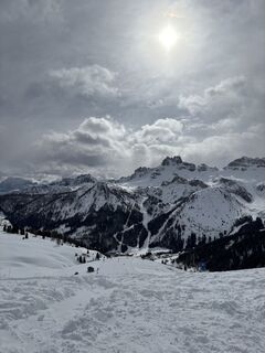
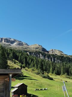
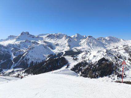
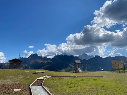
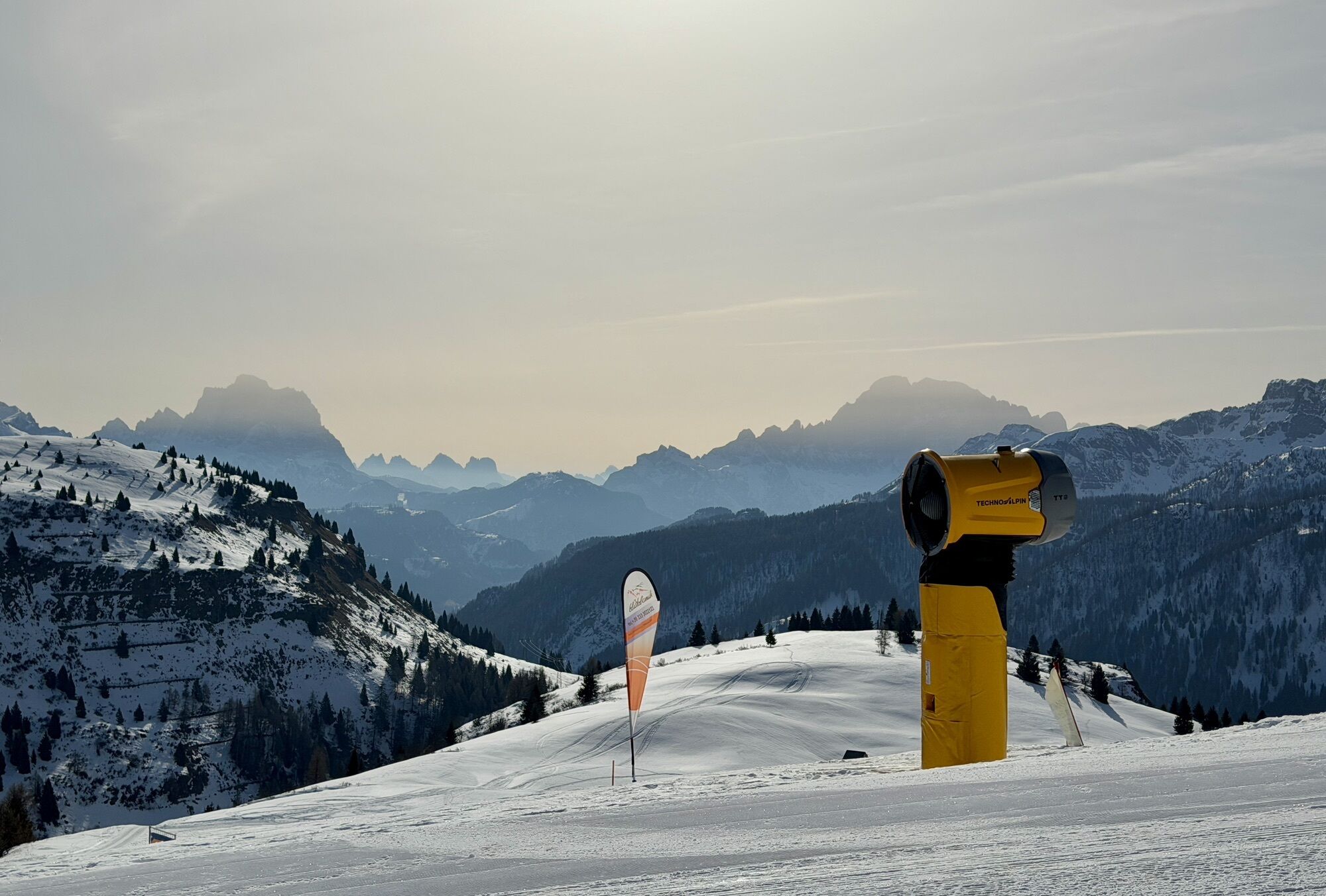
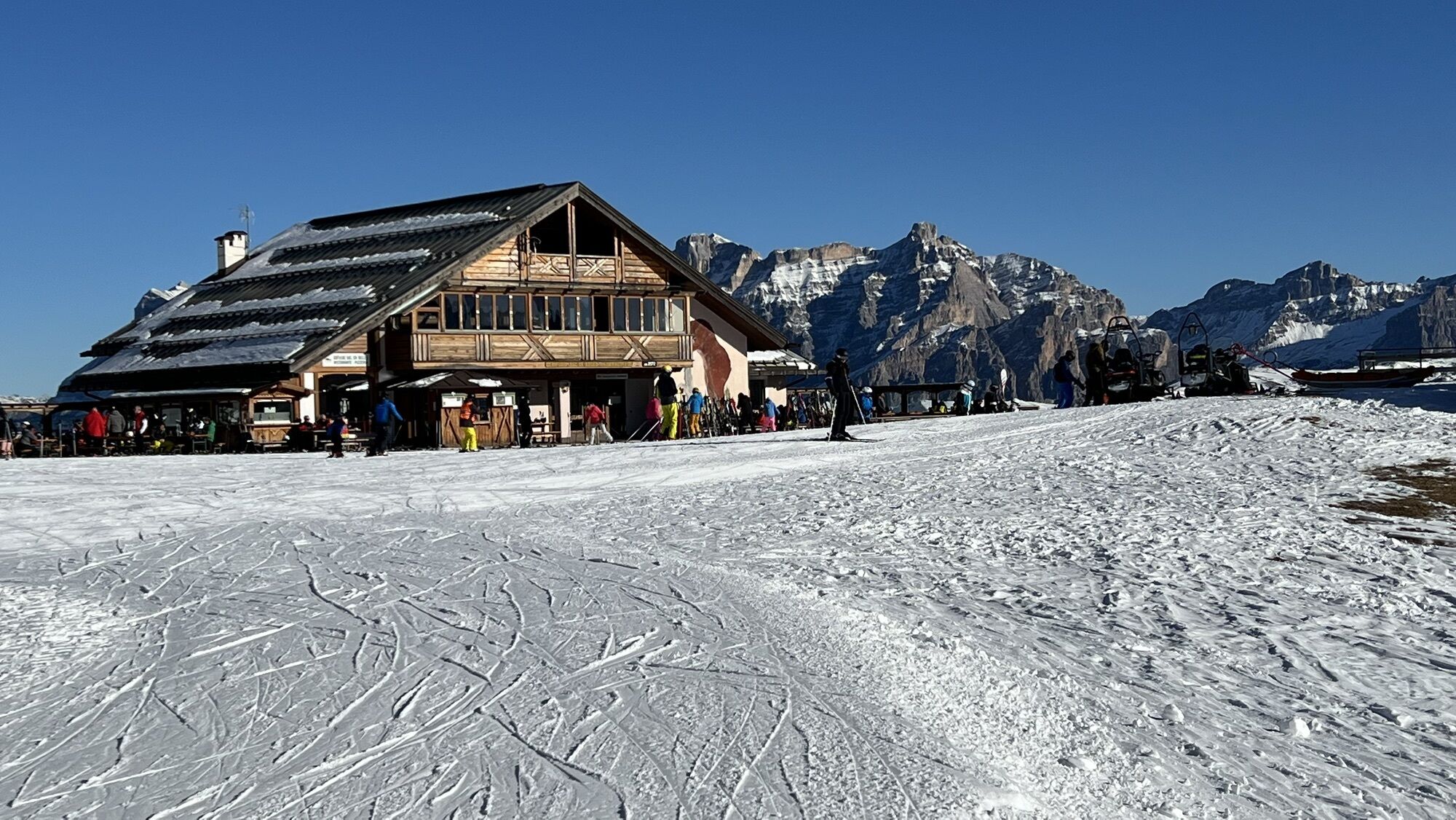
At the top is the "Bec de Roces" Refuge.
"The sustainable snowshoer's handbook":
choose the route based on your physical and technical abilities inform yourself before departure about the route you intend to take (distances, elevation gain, duration, springs, fountains, refuges, ski lifts, bivouacs, etc.) check the condition of the chosen trail never start a hike alone always carry all waste back down please stay on marked trails please be quiet do not feed the animalsWebové kamery z prehliadky
-
Colfosco
-
Alta Badia - Rifugio Ütia de Bioch
-
Rifugio Maria Sass Pordoi
-
Arabba - Bec de Roces
-
Arabba - Porta Vescovo
-
Piz Arlara
-
Boé
-
Boé
-
Mezdi Bergstation
-
Mezdi Bergstation
-
Colfosco - Corvara in Badia / Hotel Luianta
-
Rifugio Burz
-
Rifugio Burz
-
Pista Fodoma
-
Rifugio Burz
-
Rifugio Burz
-
Rifugio Burz
-
Pista Fodoma
-
Passo Padon
-
Passo Padon
-
Sass Pordoi
-
Corvara - Ciasa Morin
-
Janin
-
Janin
-
Janin
-
Janin
Obľúbené výlety v okolí
-
4,6
Pordoi Pass - Sass Pordoi - Forcella Pordoi - Piz Boè - Boè Refuge - Forcella Pordoi - Pordoi Pass
ťažkéTuristika 8,39 km -
4,9
Lang- und Plattkofel Umrundung
strednáTuristika 17,5 km -
4,8
Langkofel-Umrundung
strednáTuristika 12,9 km -
5,0
Langkofel Klettersteig/Ferrata Furcela de Saslonch
ťažkéVia ferrata 7,07 km -
4,7
Passo Giau roundtrip
strednáTuristika 8,10 km -
5,0
Um den Langkofel
strednáTuristika 9,76 km -
3,8
Der Friedrich-August-Weg
strednáTuristika 10,4 km -
4,6
Five Towers circuit (Averau, Nuvolau and Scoiattoli huts) from Passo Giau
strednáTuristika 10,8 km -
4,4
Dolomiten Sellagruppe, Alb. Col di Lana, Sas de Pordoi, Piz Boé retour 22.06.2016
strednáTuristika 5 km -
4,3
Seceda und Regensburger Hütte
strednáTuristika 14,1 km

Turistika a stopovanie


Nenechajte si ujsť ponuky a inšpiráciu na ďalšiu dovolenku
Vaša e-mailová adresa bol pridaný do poštového zoznamu.