






Via Alpina Montafon
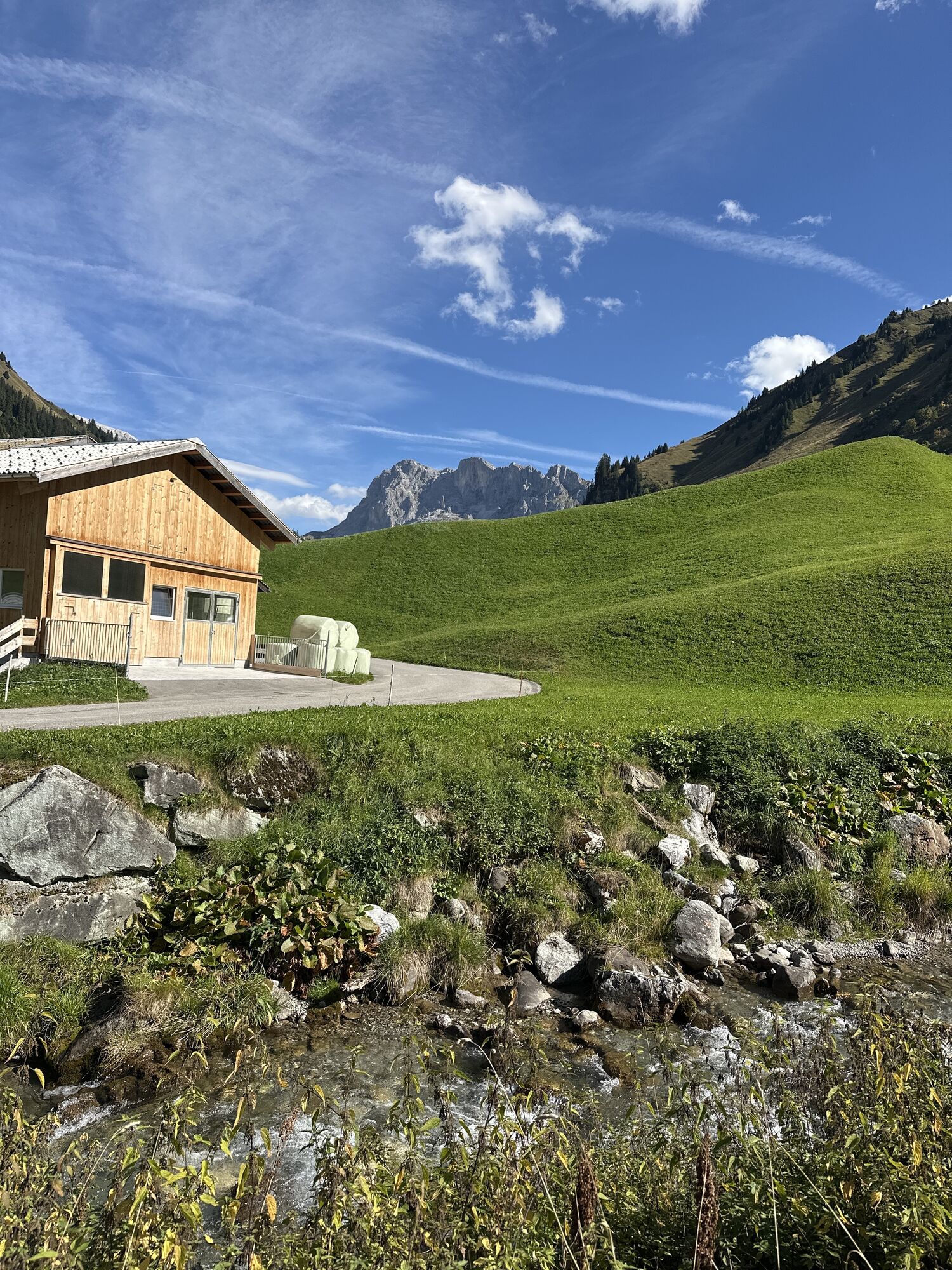
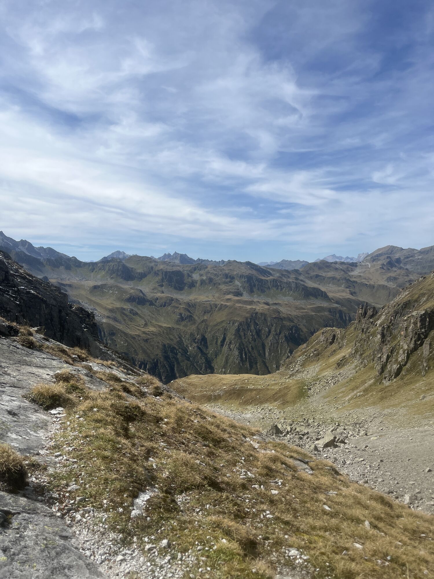
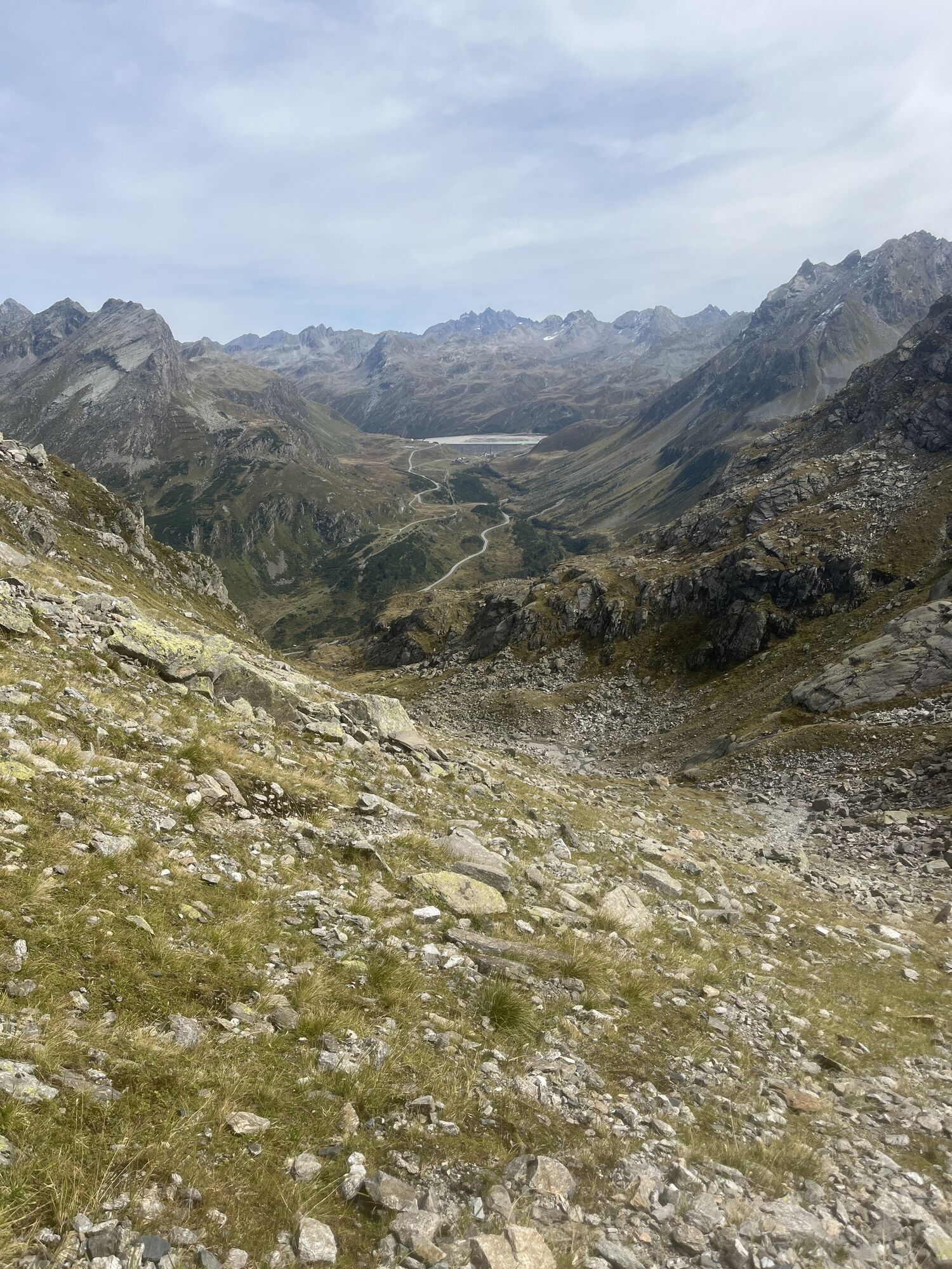
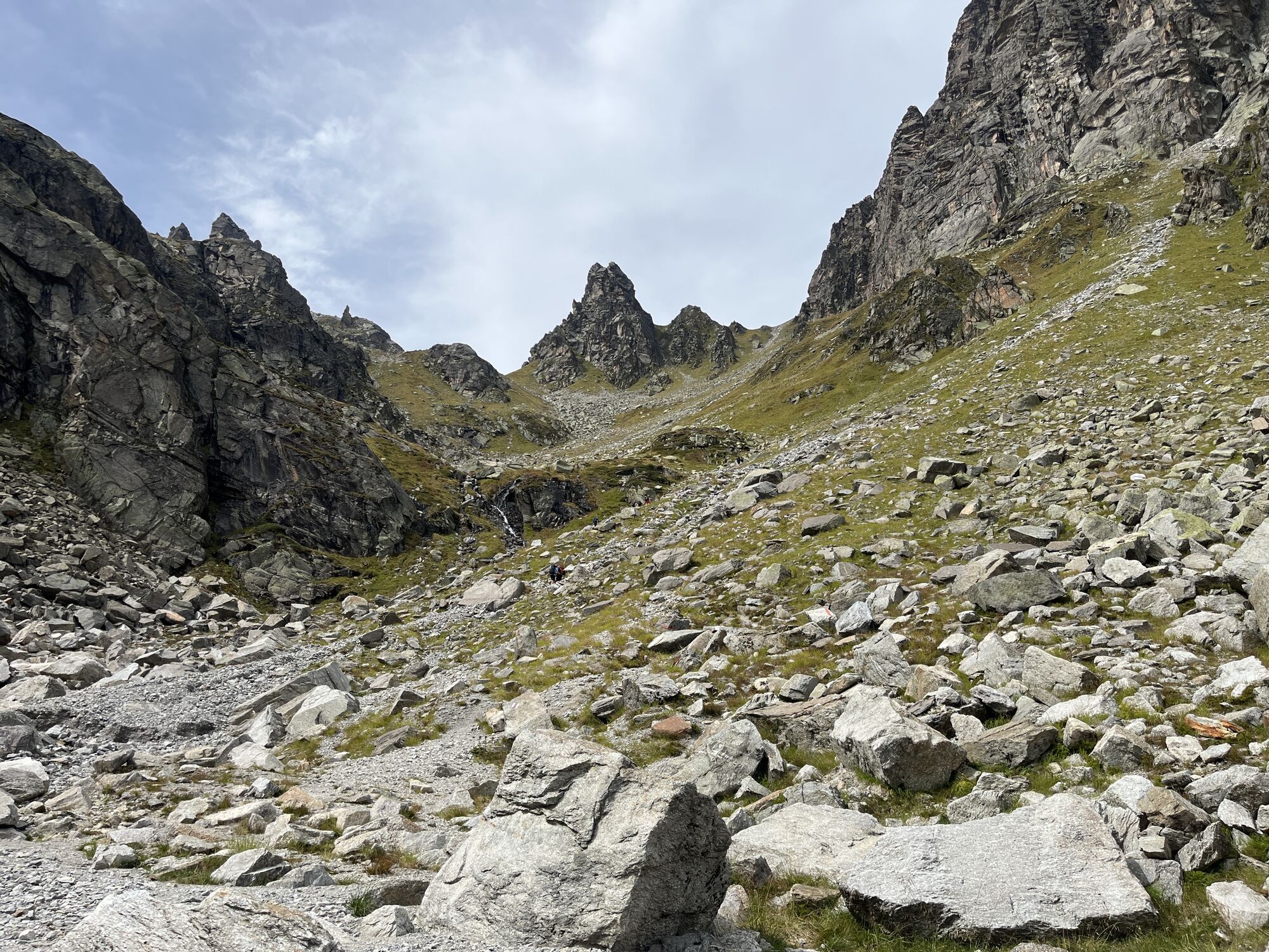
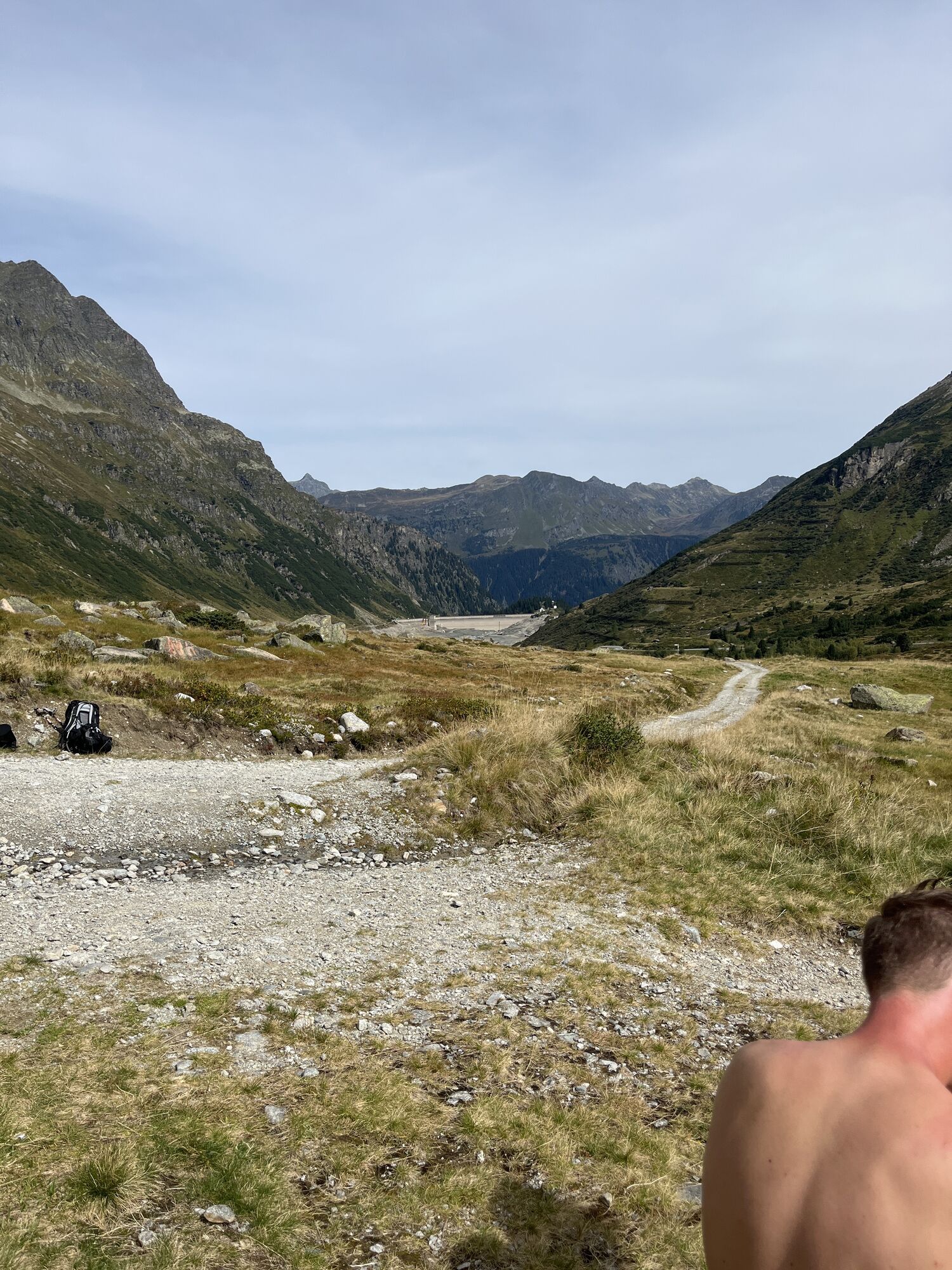
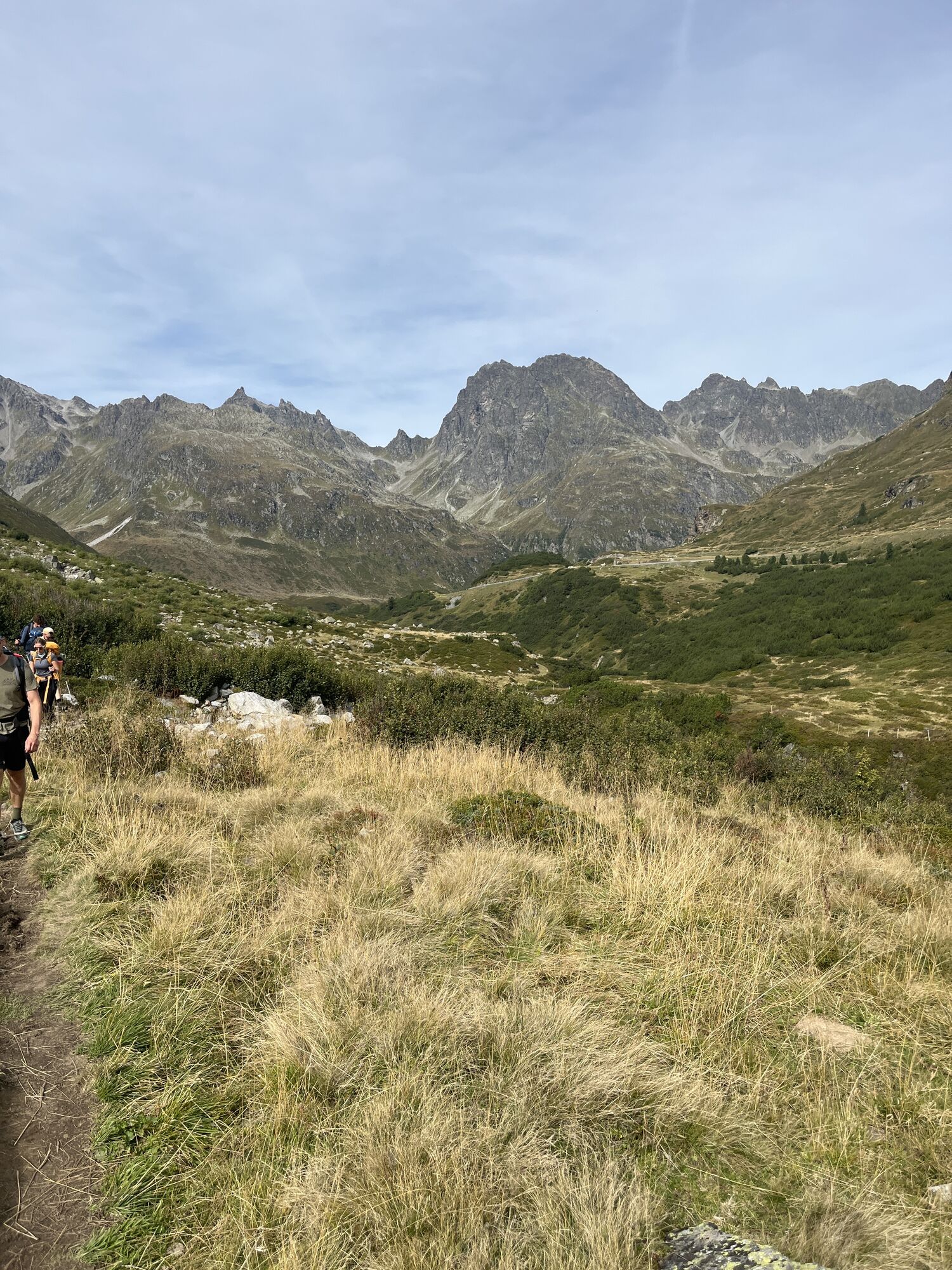
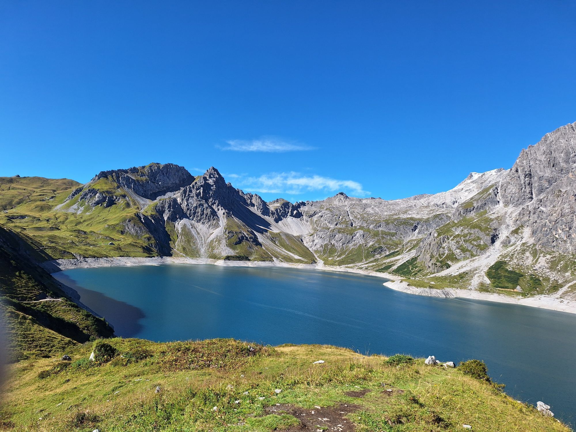
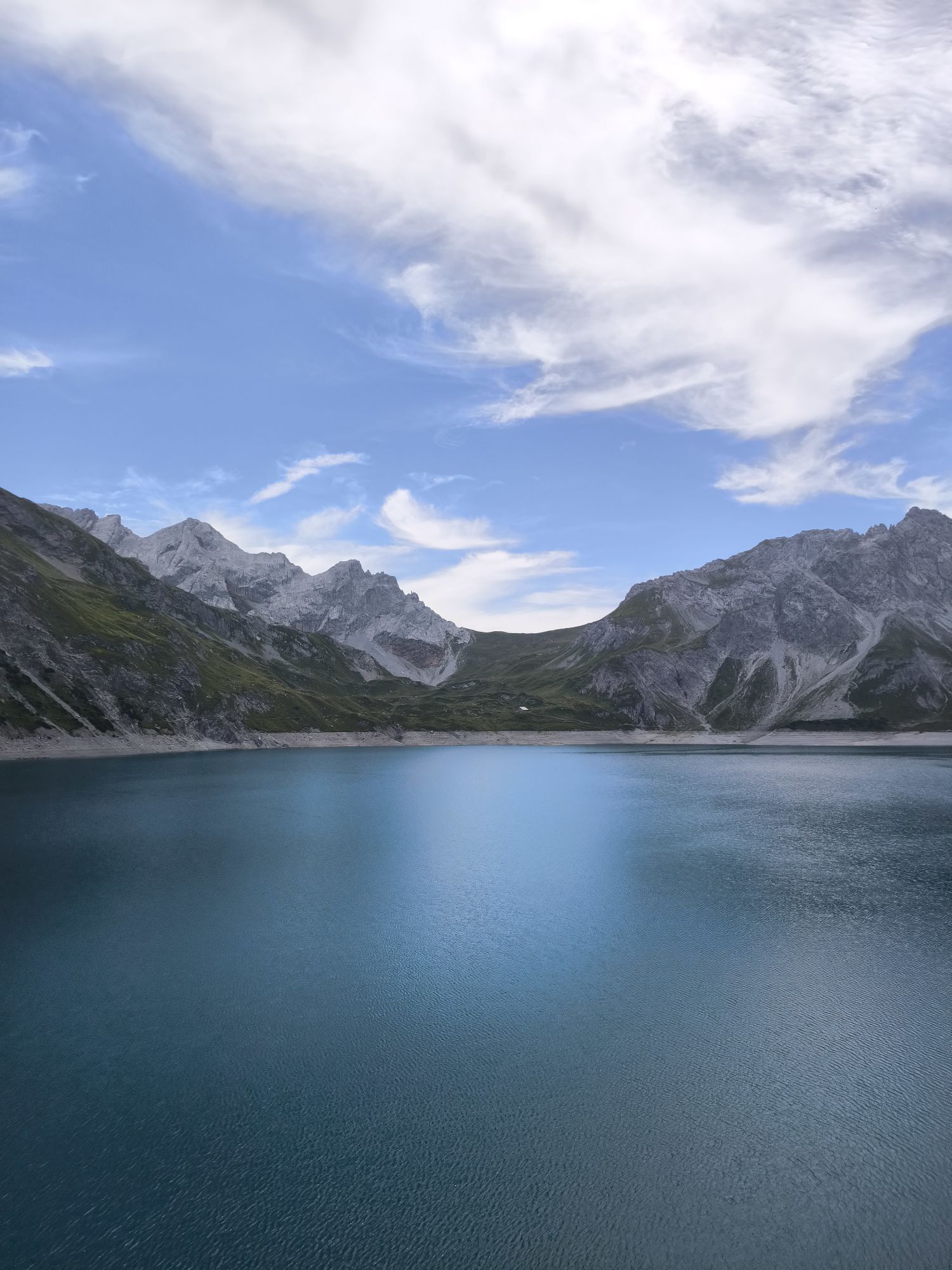
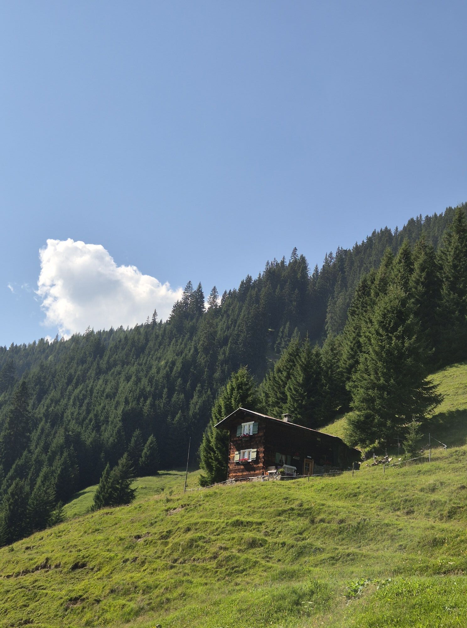
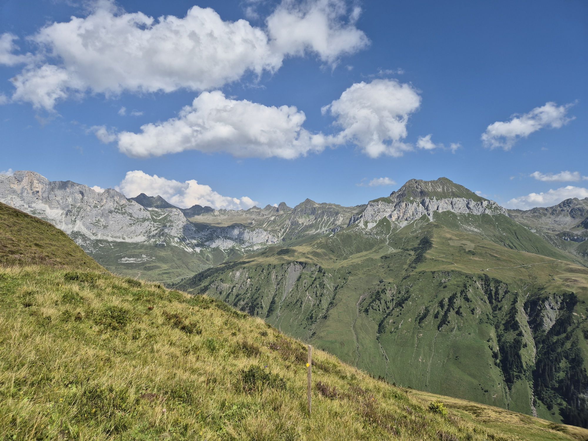
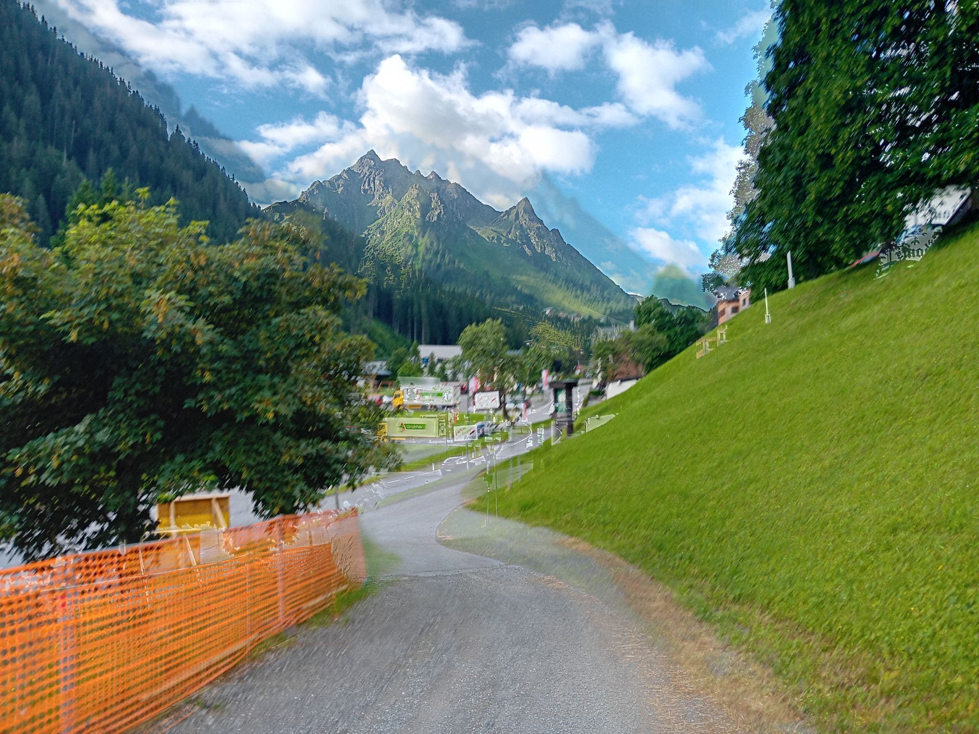
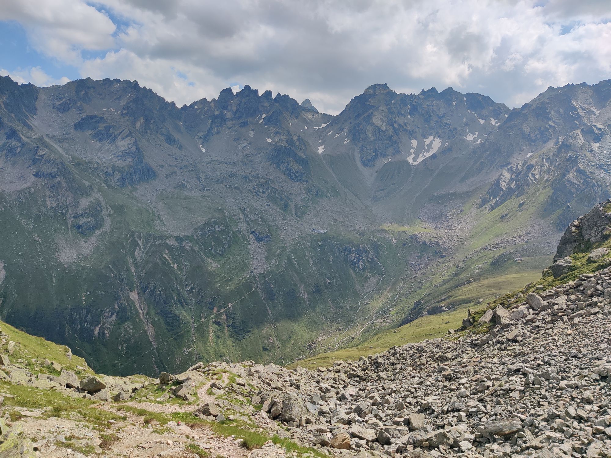
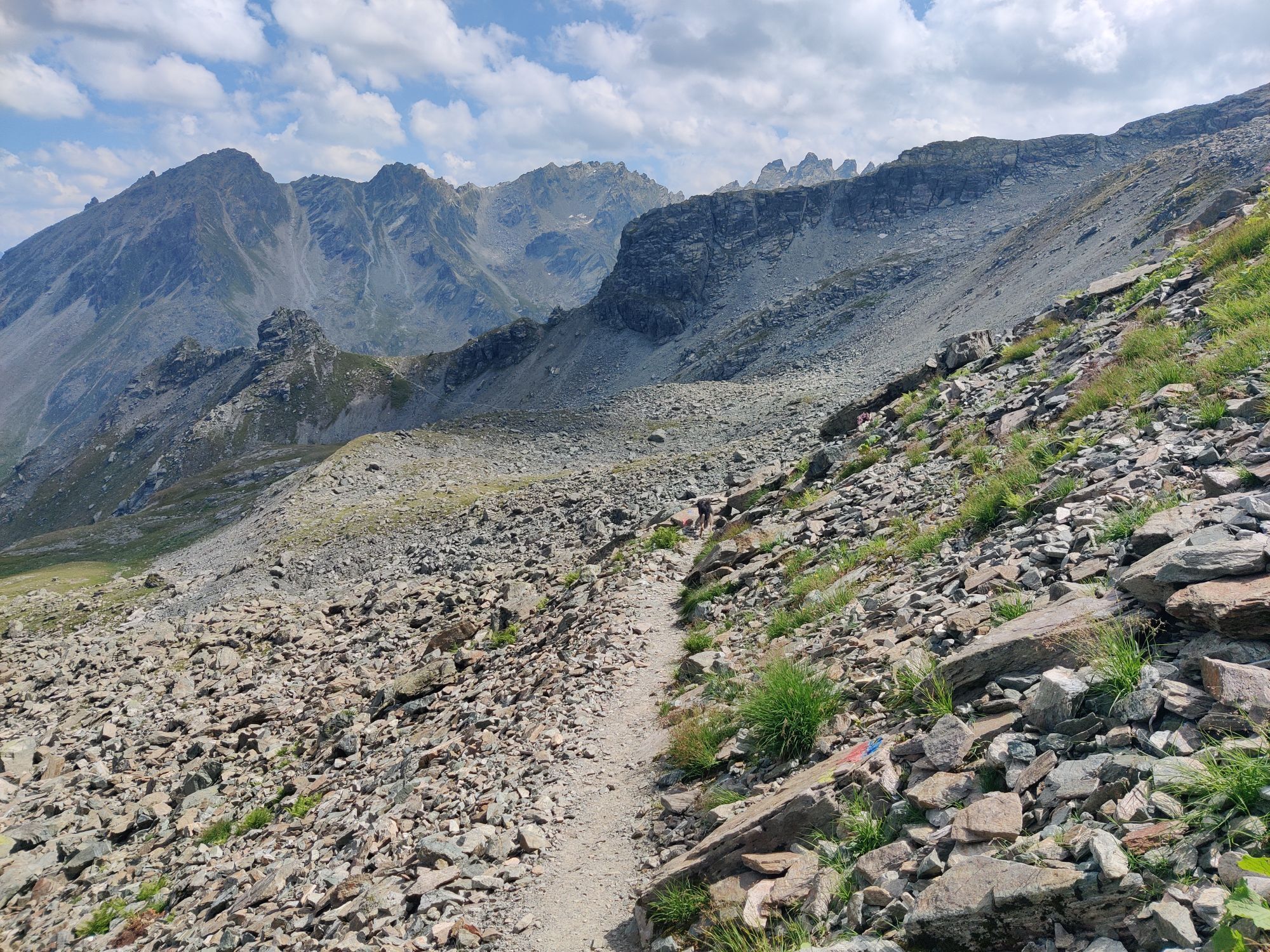
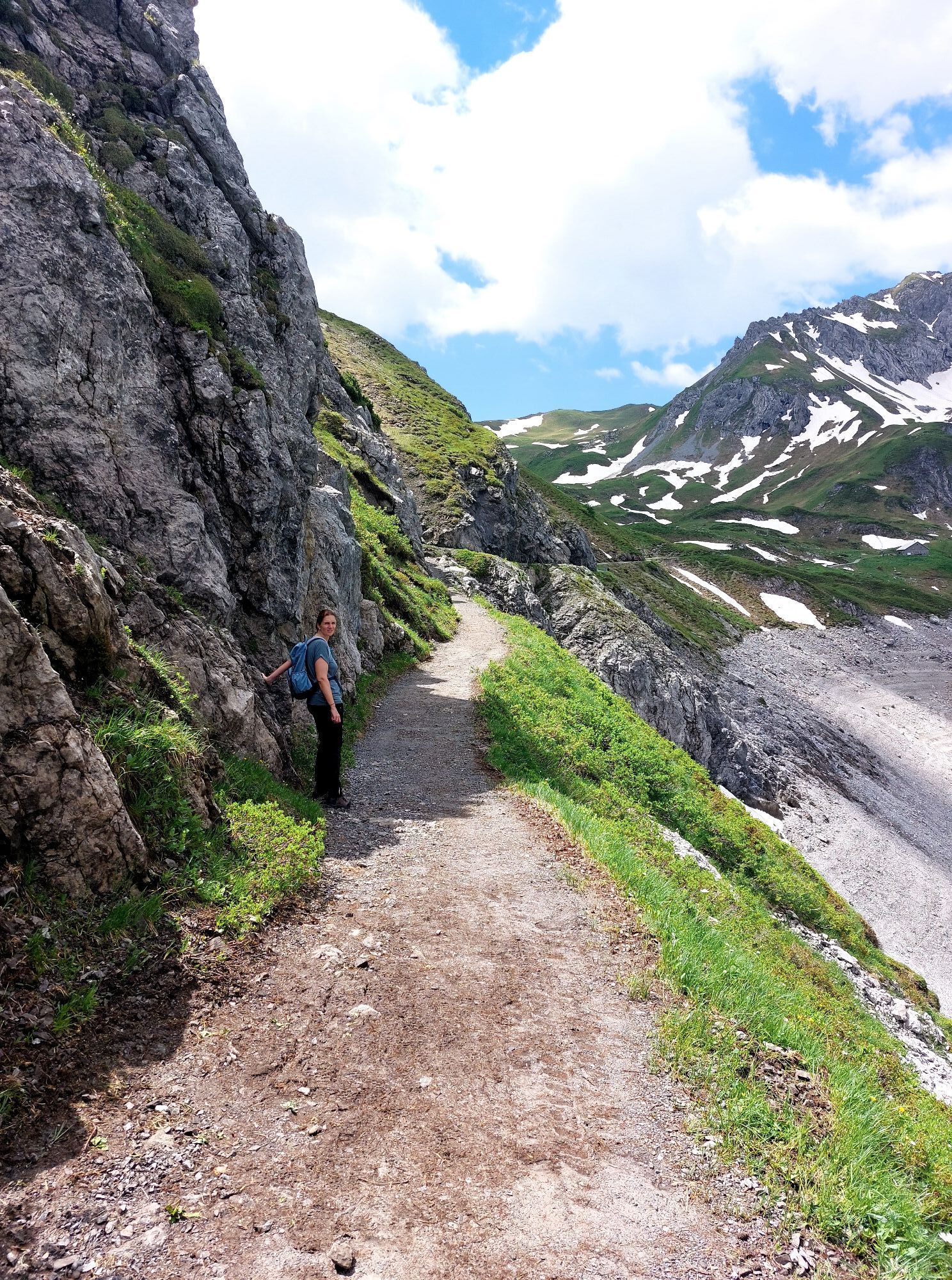
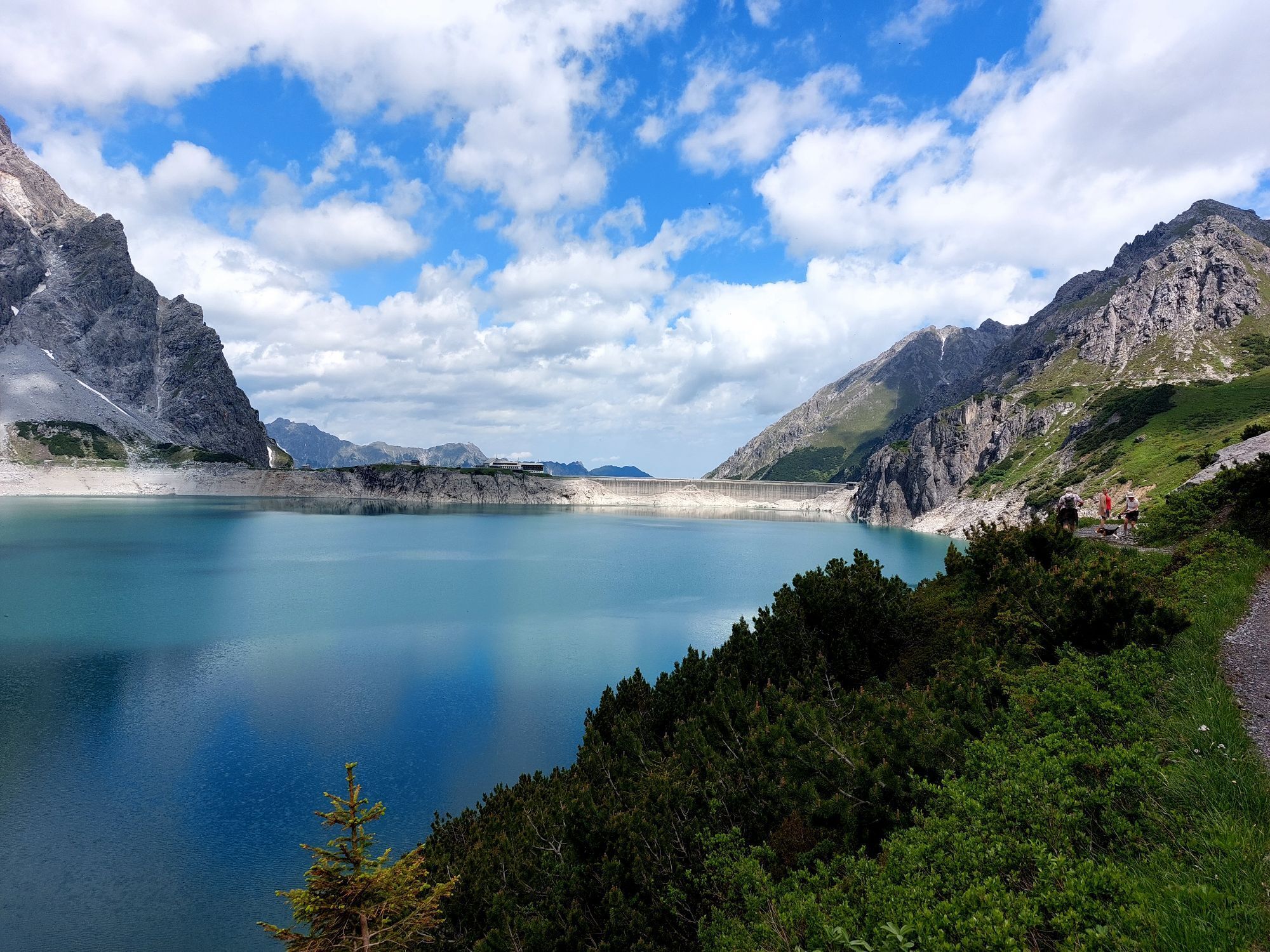
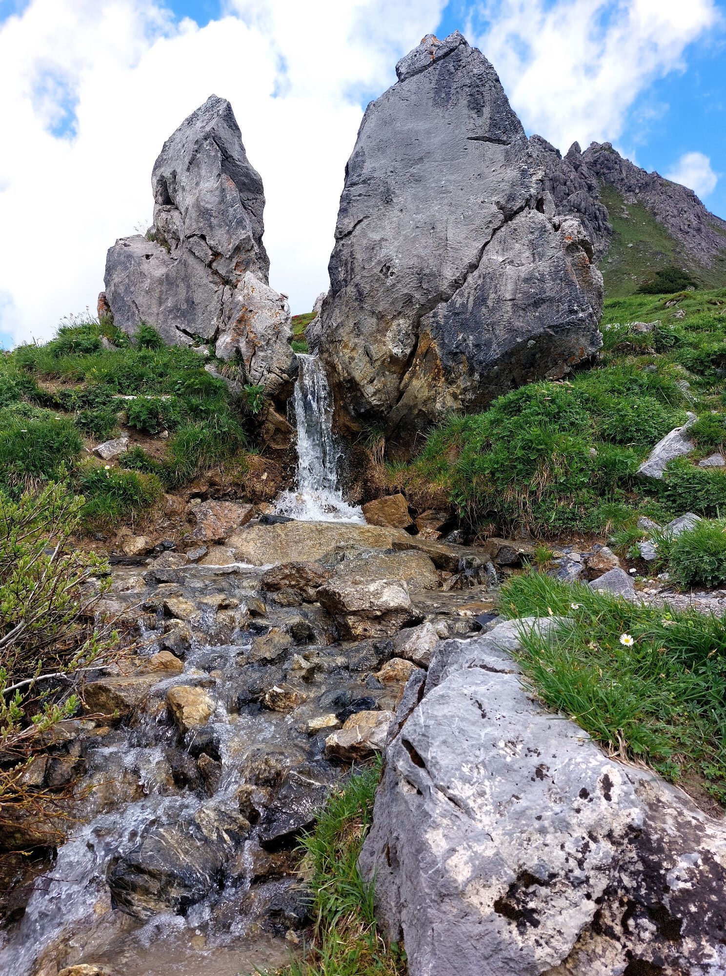
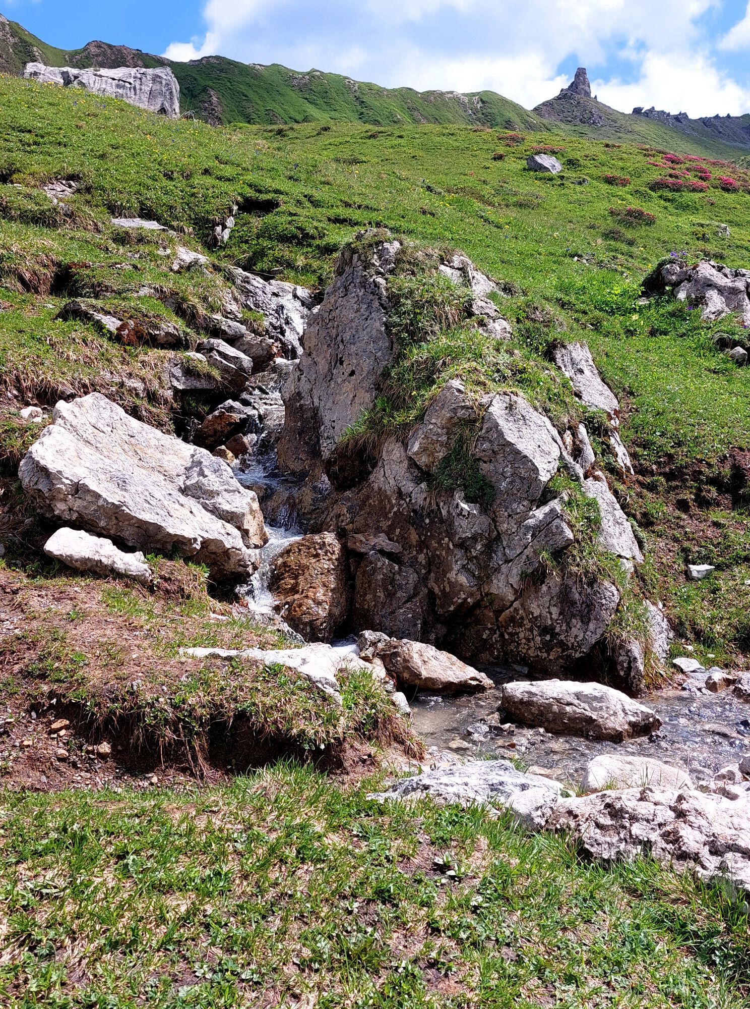
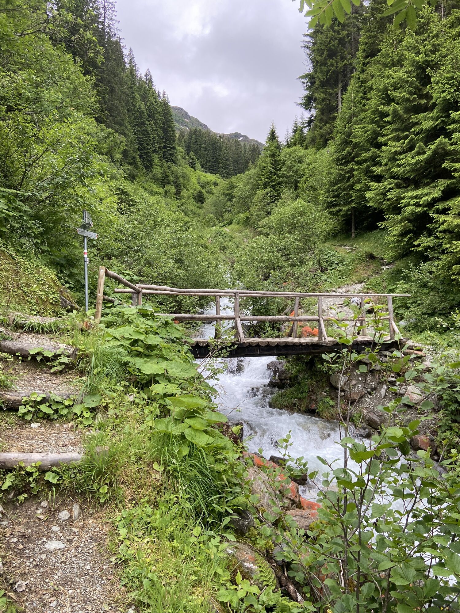
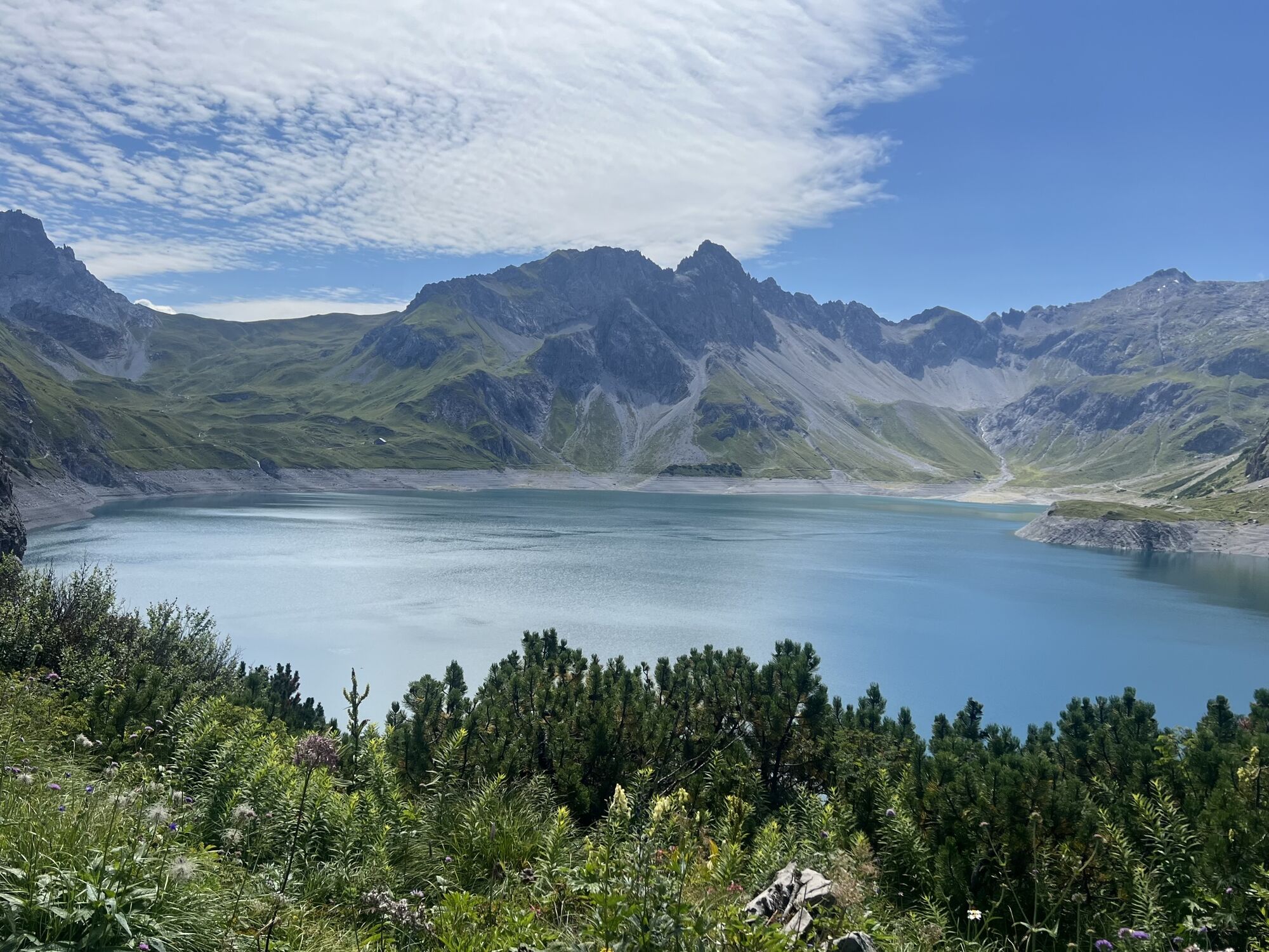
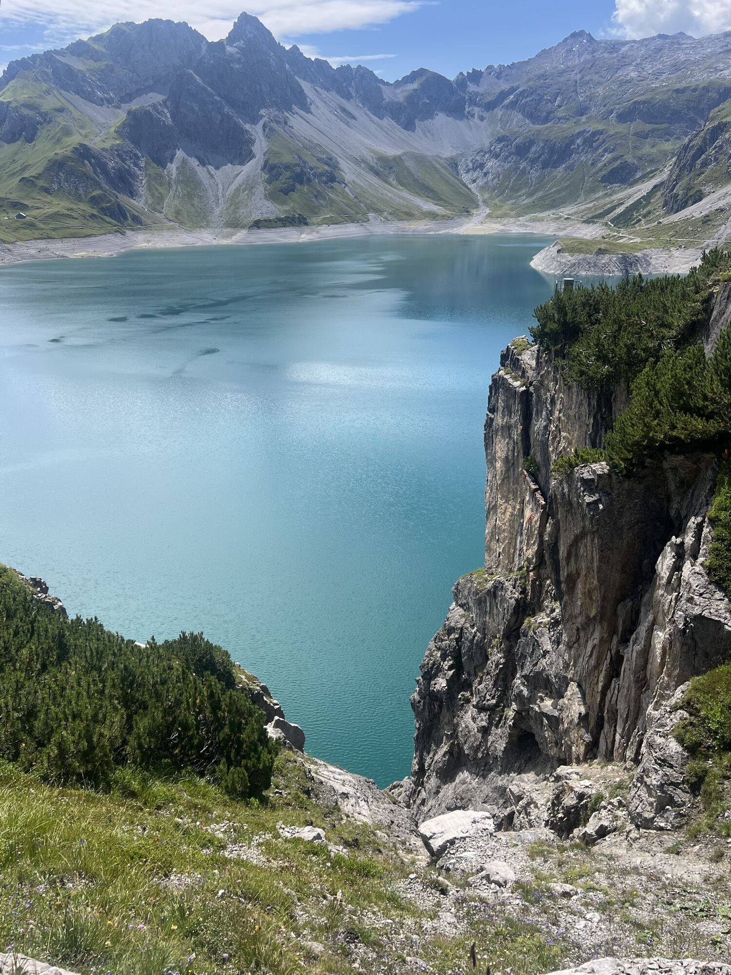
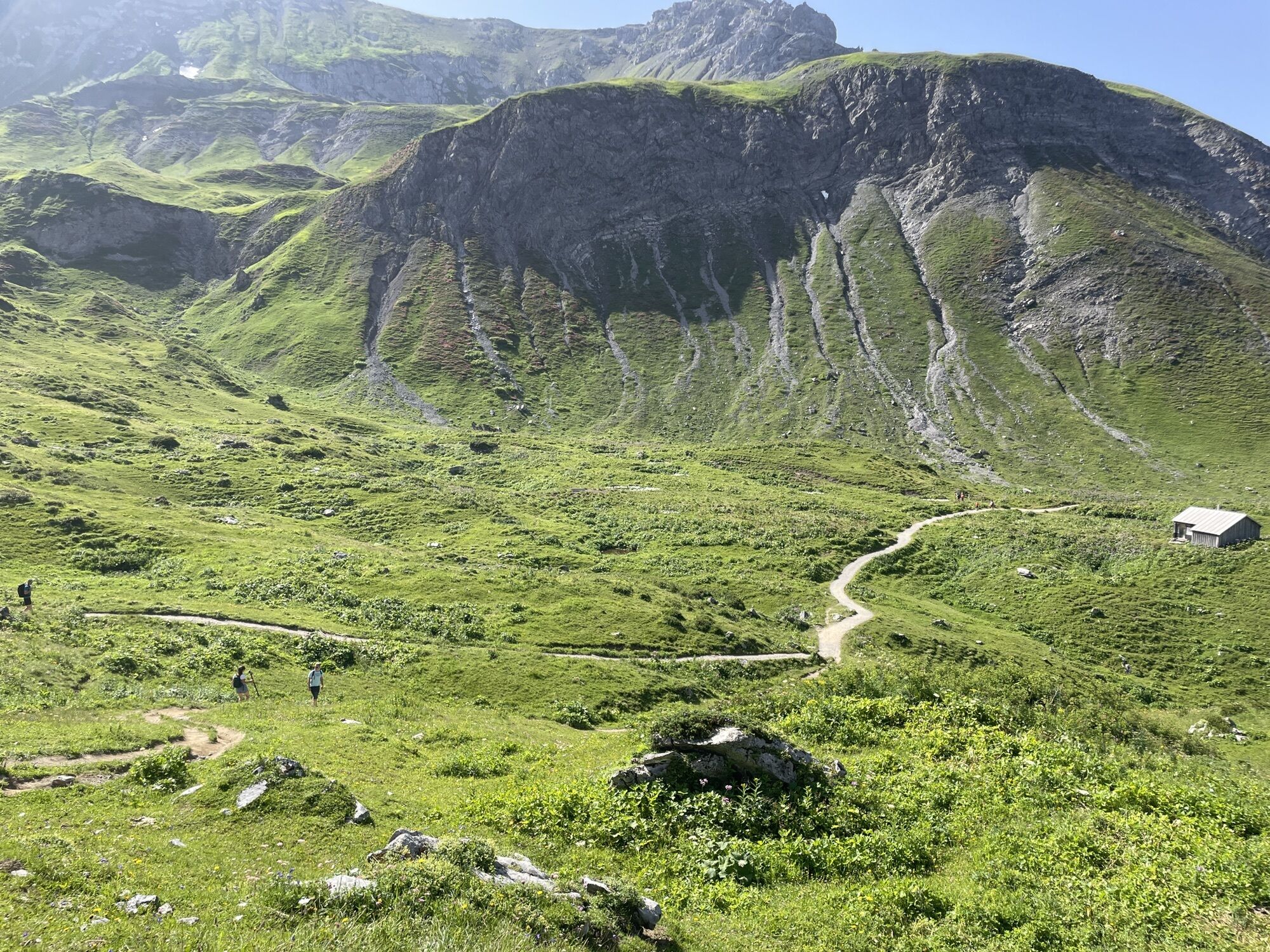
The cross-border long-distance hiking trail, which leads from Trieste to Monaco, passes through eight Alpine countries. Five stages of the famous trail pass through the Montafon. The five stages run through...
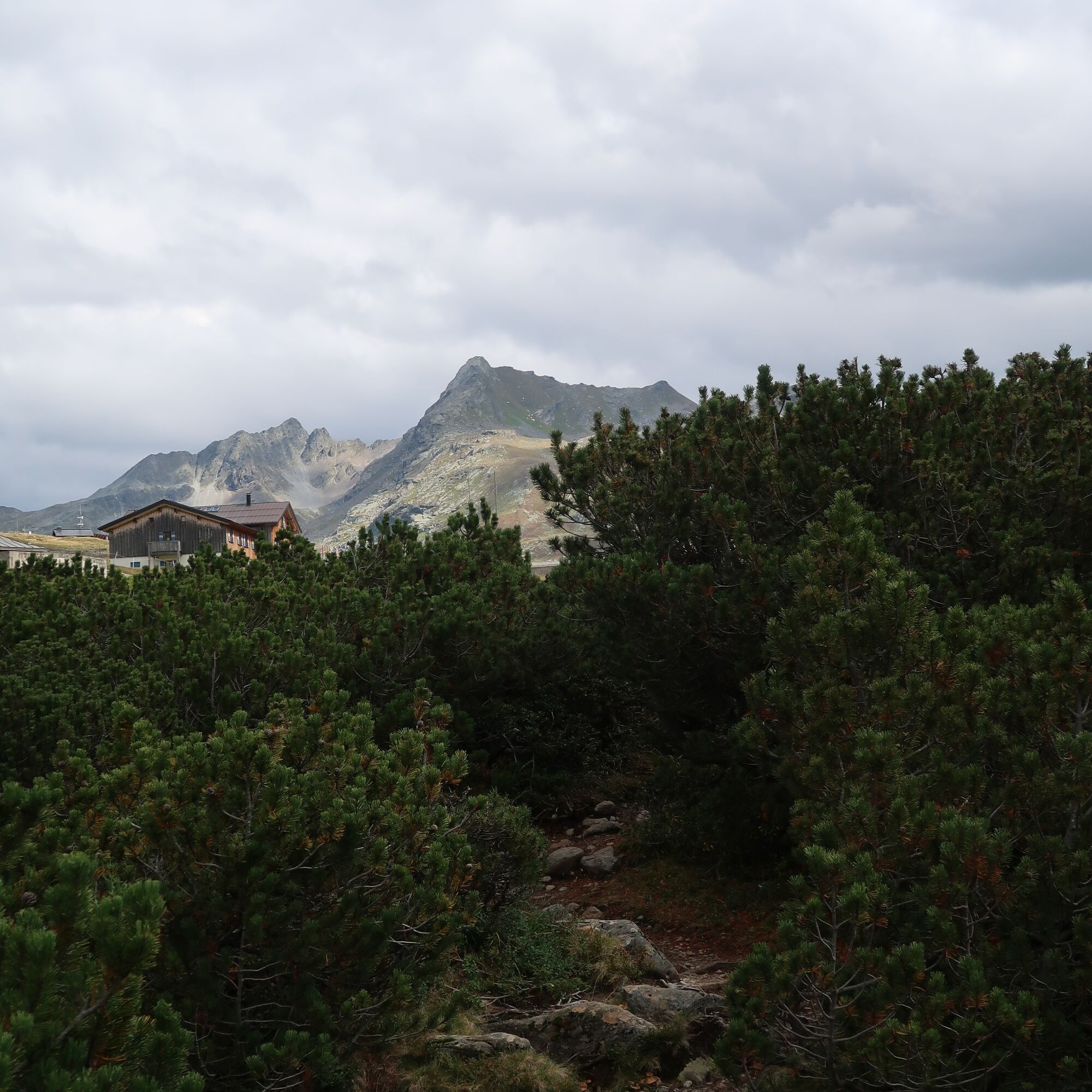
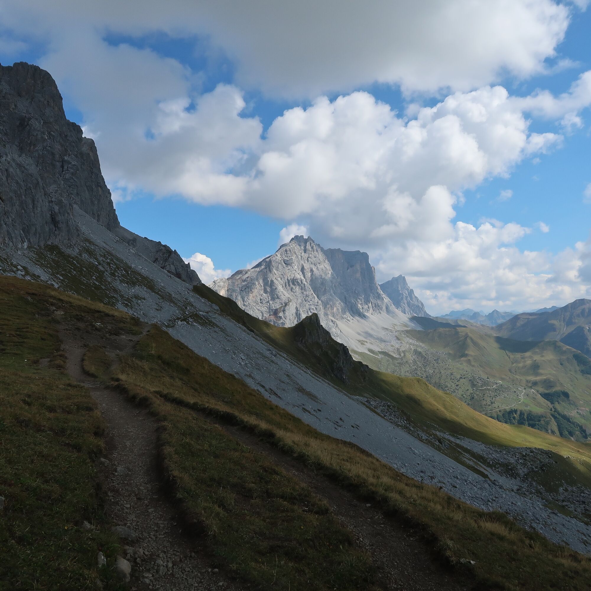
The cross-border long-distance hiking trail, which leads from Trieste to Monaco, passes through eight Alpine countries. Five stages of the famous trail pass through the Montafon. The five stages run through the varied Rätikon and rugged Silvretta mountain ranges. The former forms a successful contrast with its rugged limestone rock but also blooming alpine meadows, and is highly valued by mountain enthusiasts who love the natural beauty of the mountains. The Silvretta mountain range is somewhat more rugged. High mountains and glaciers make this high alpine terrain no less attractive.


Stage 1: Douglass Hut to Carschina Hut
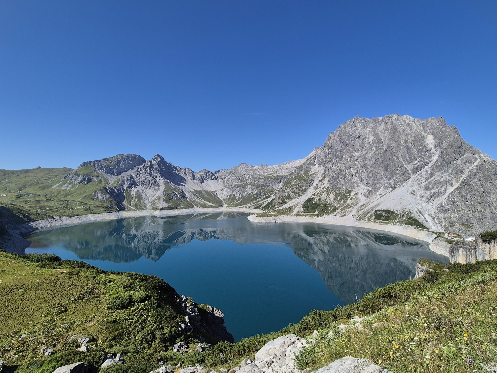
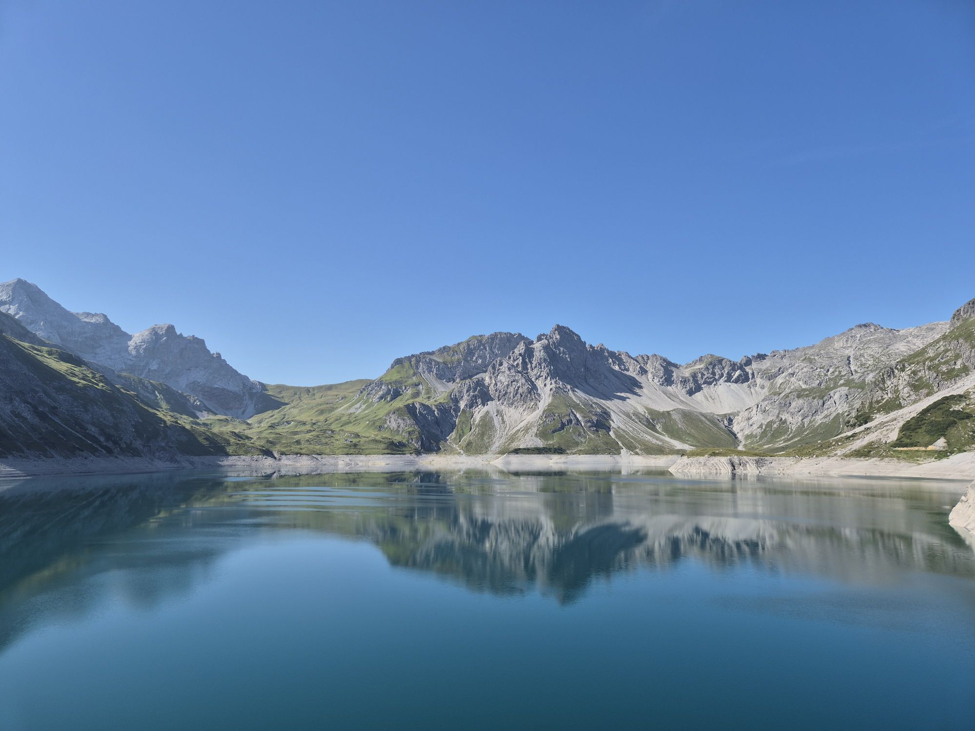
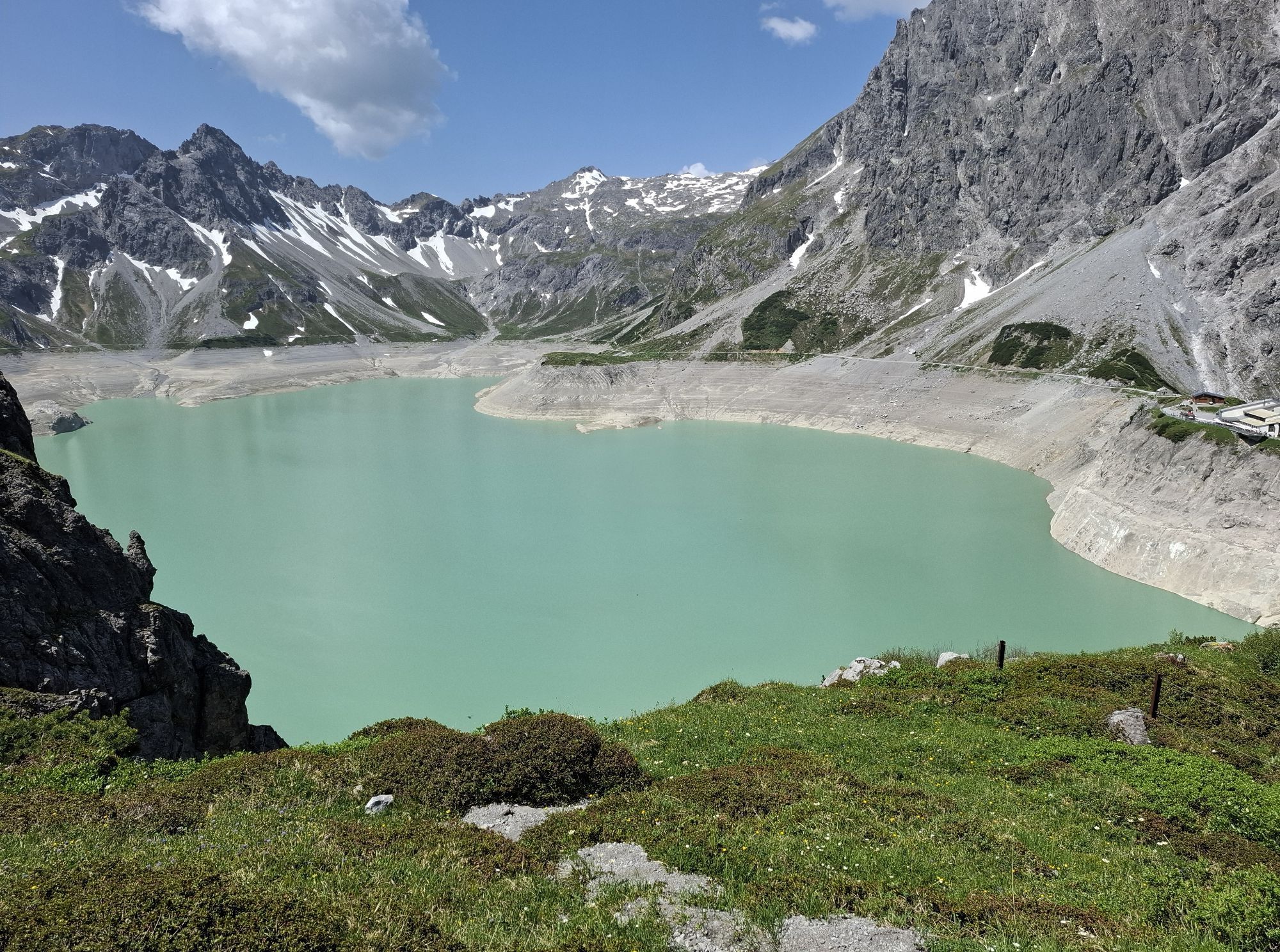
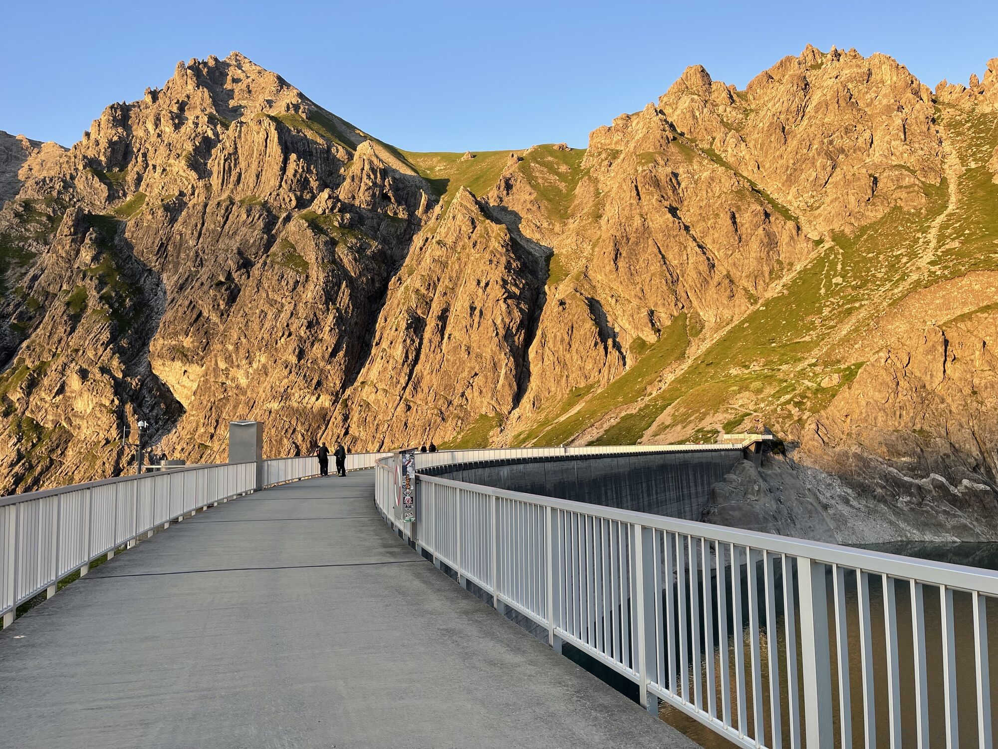
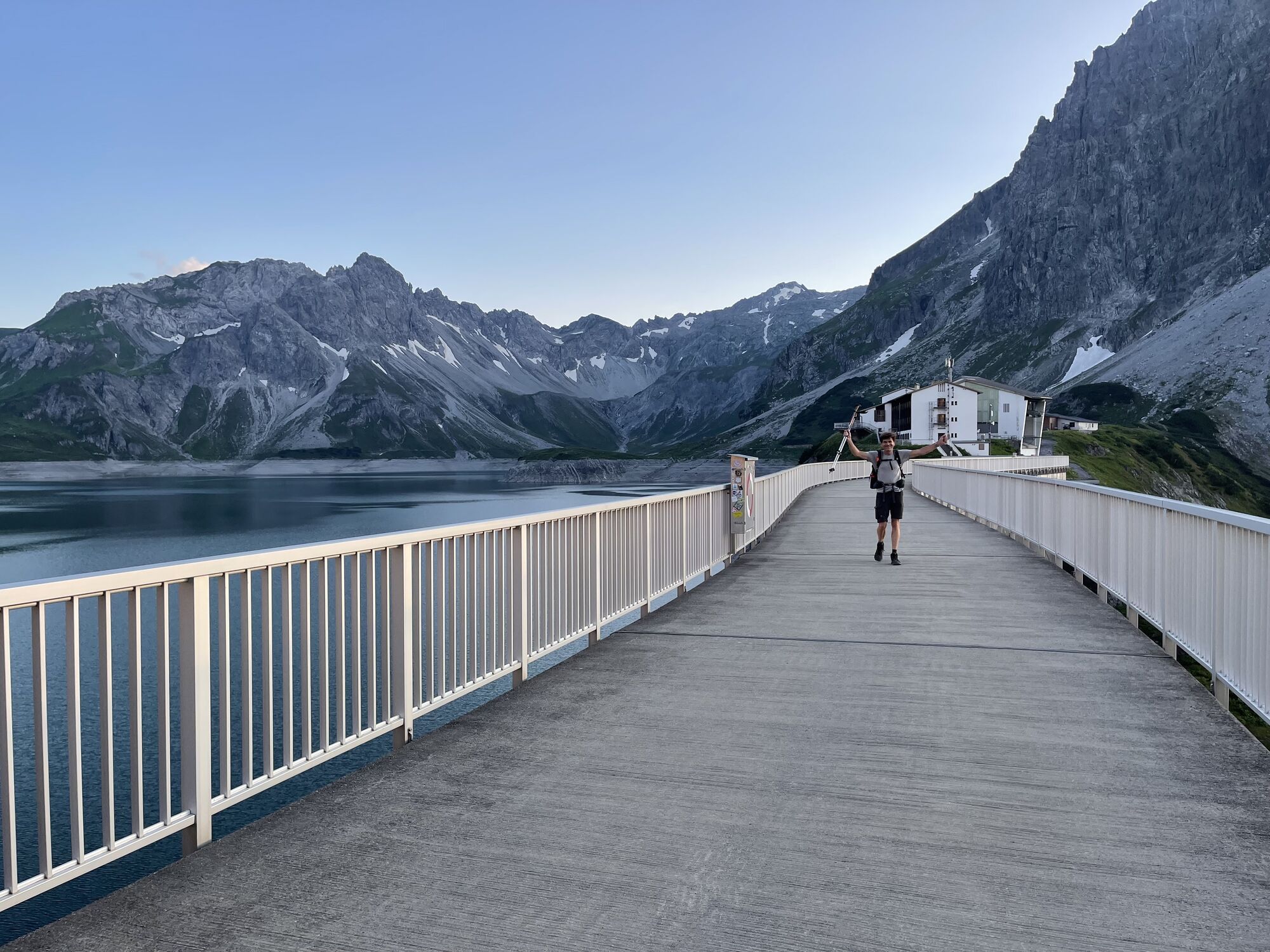
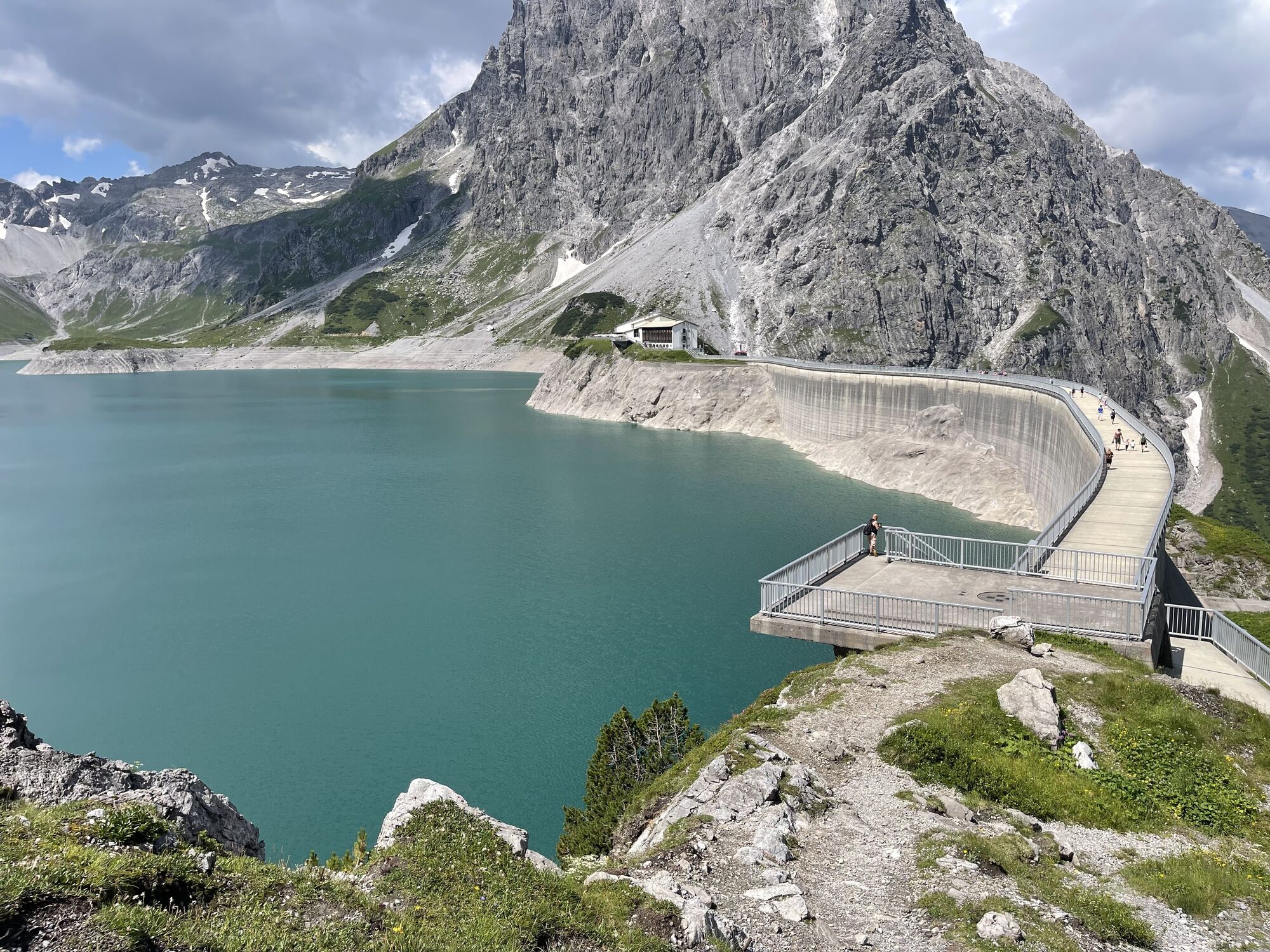
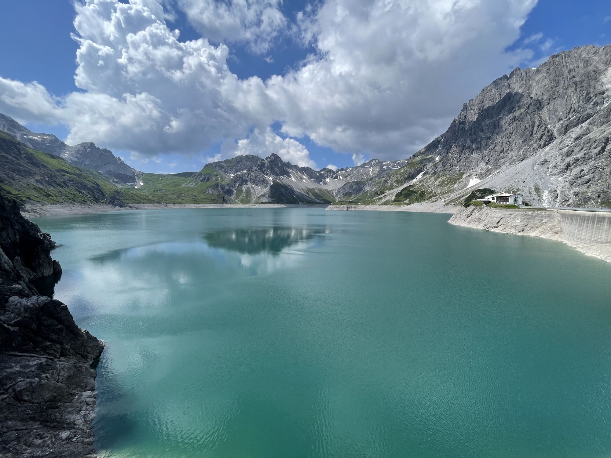
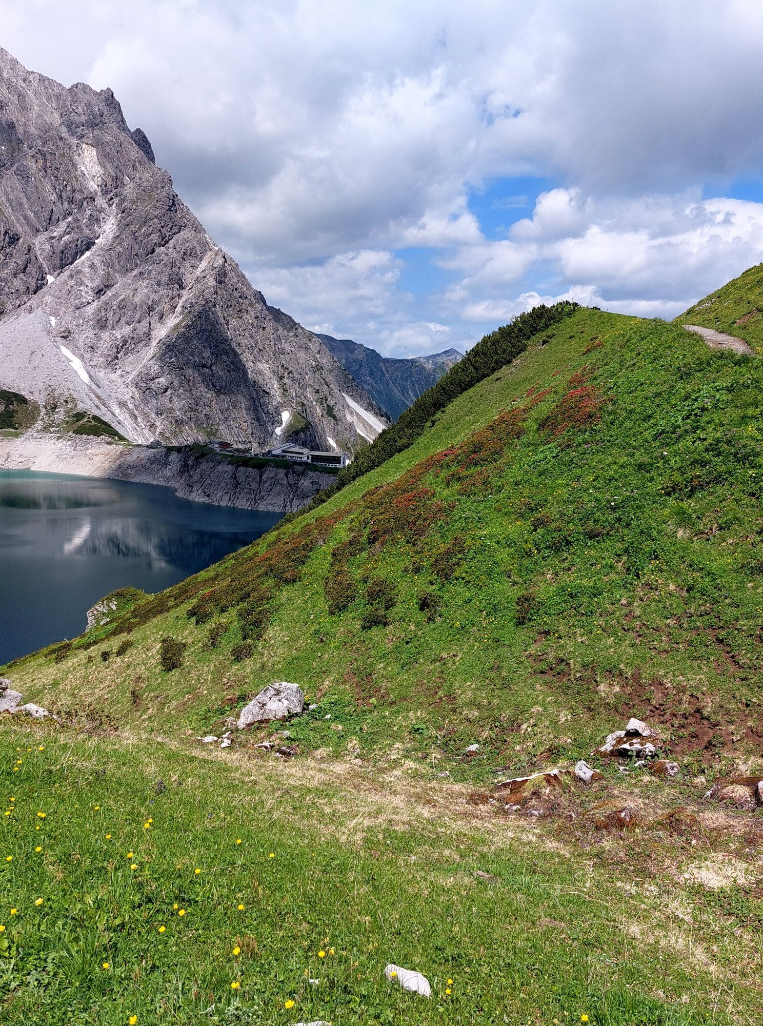
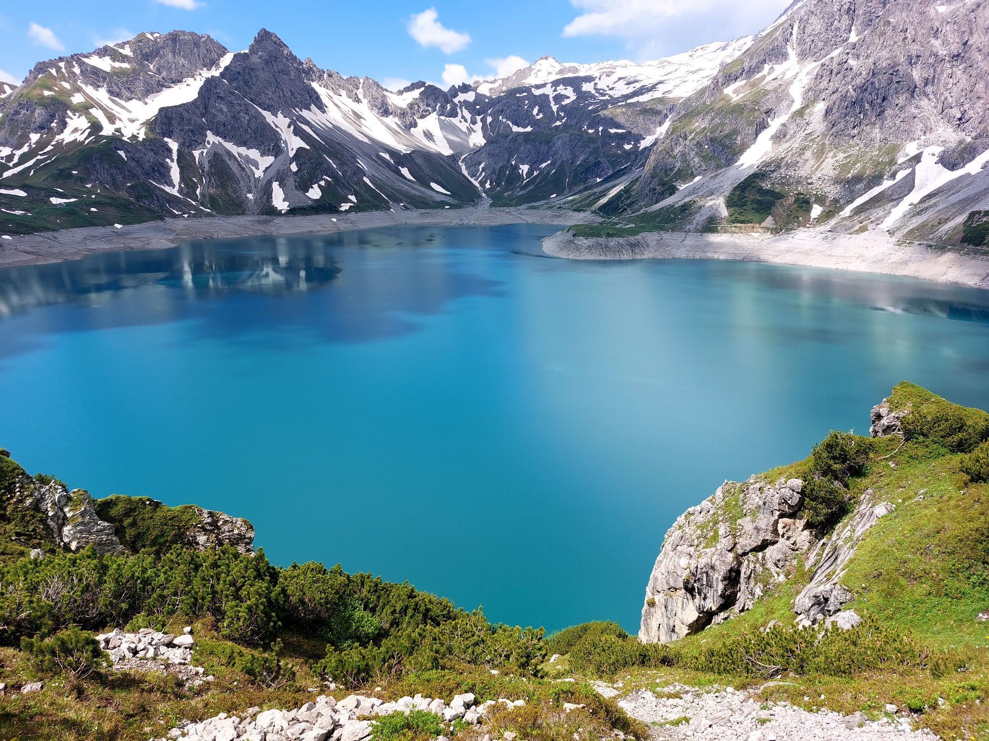
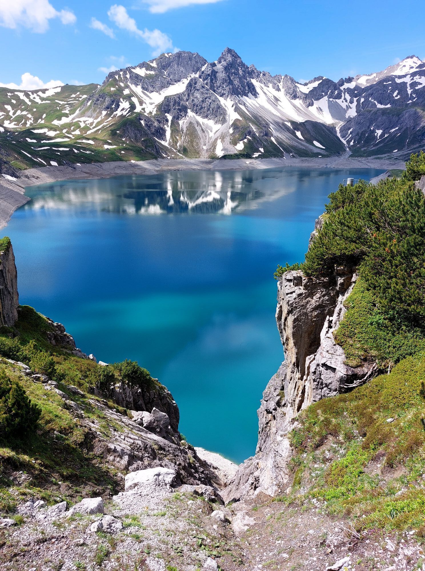
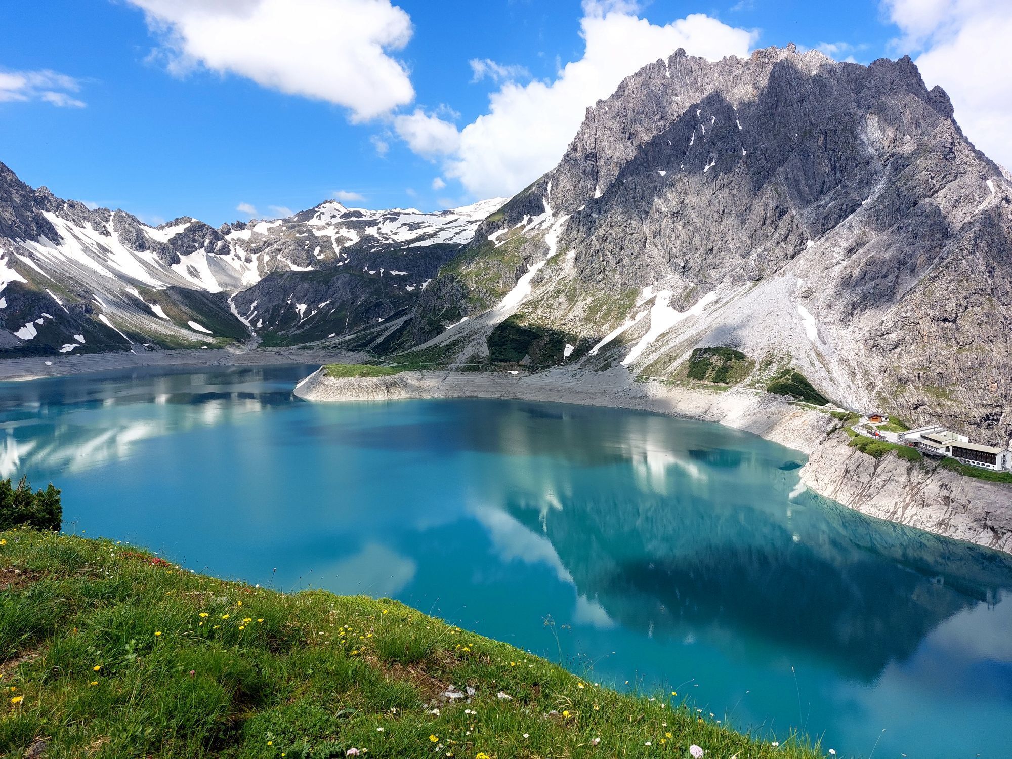
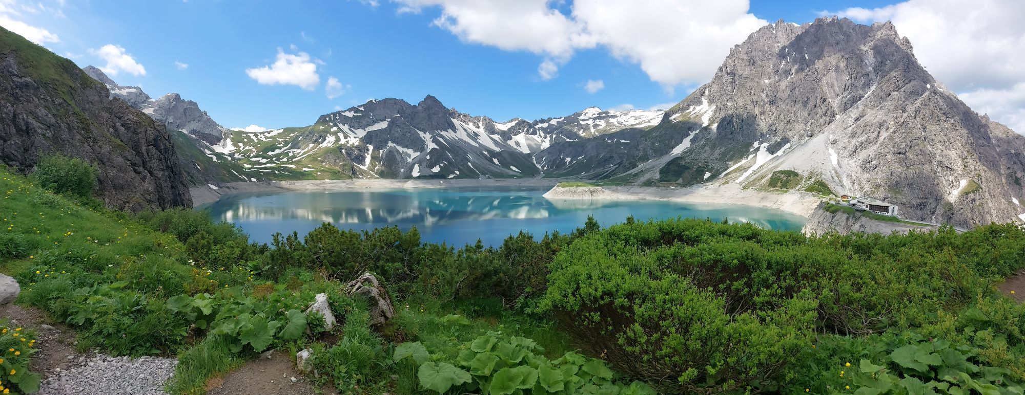
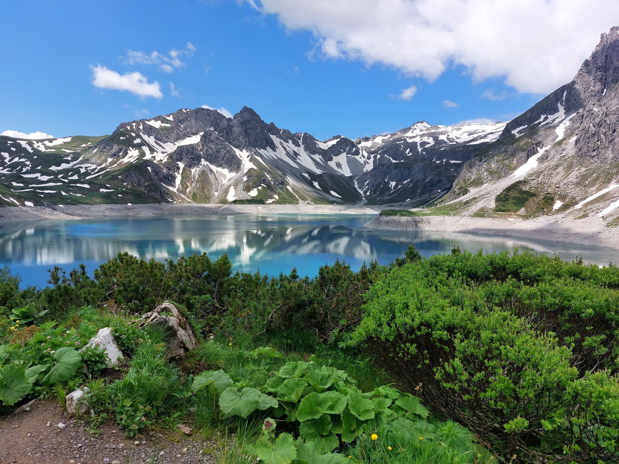
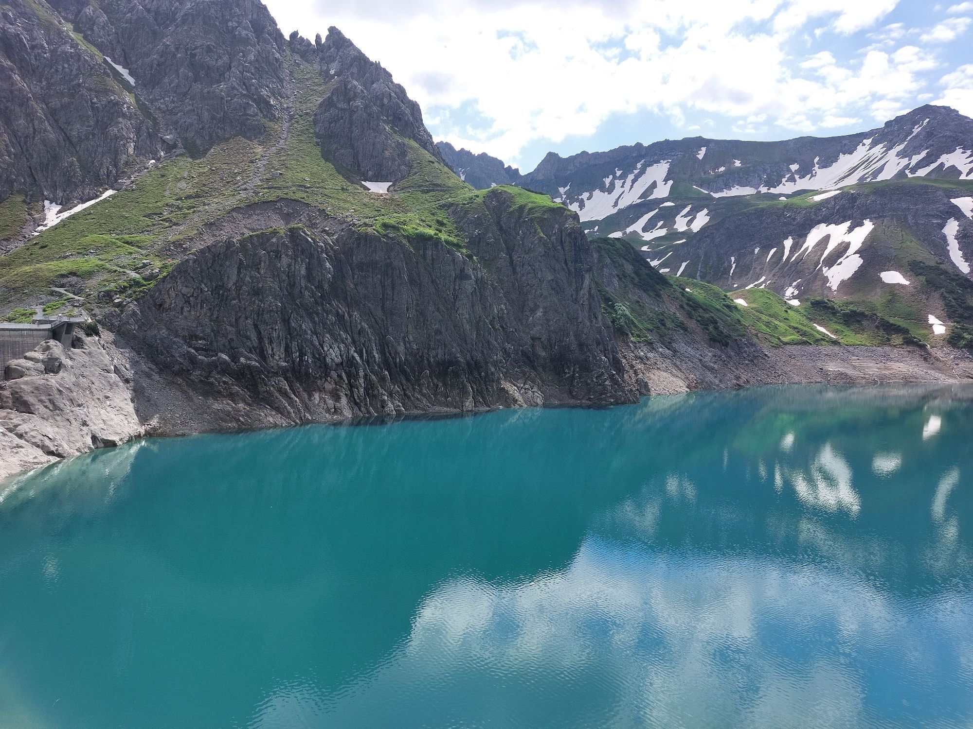
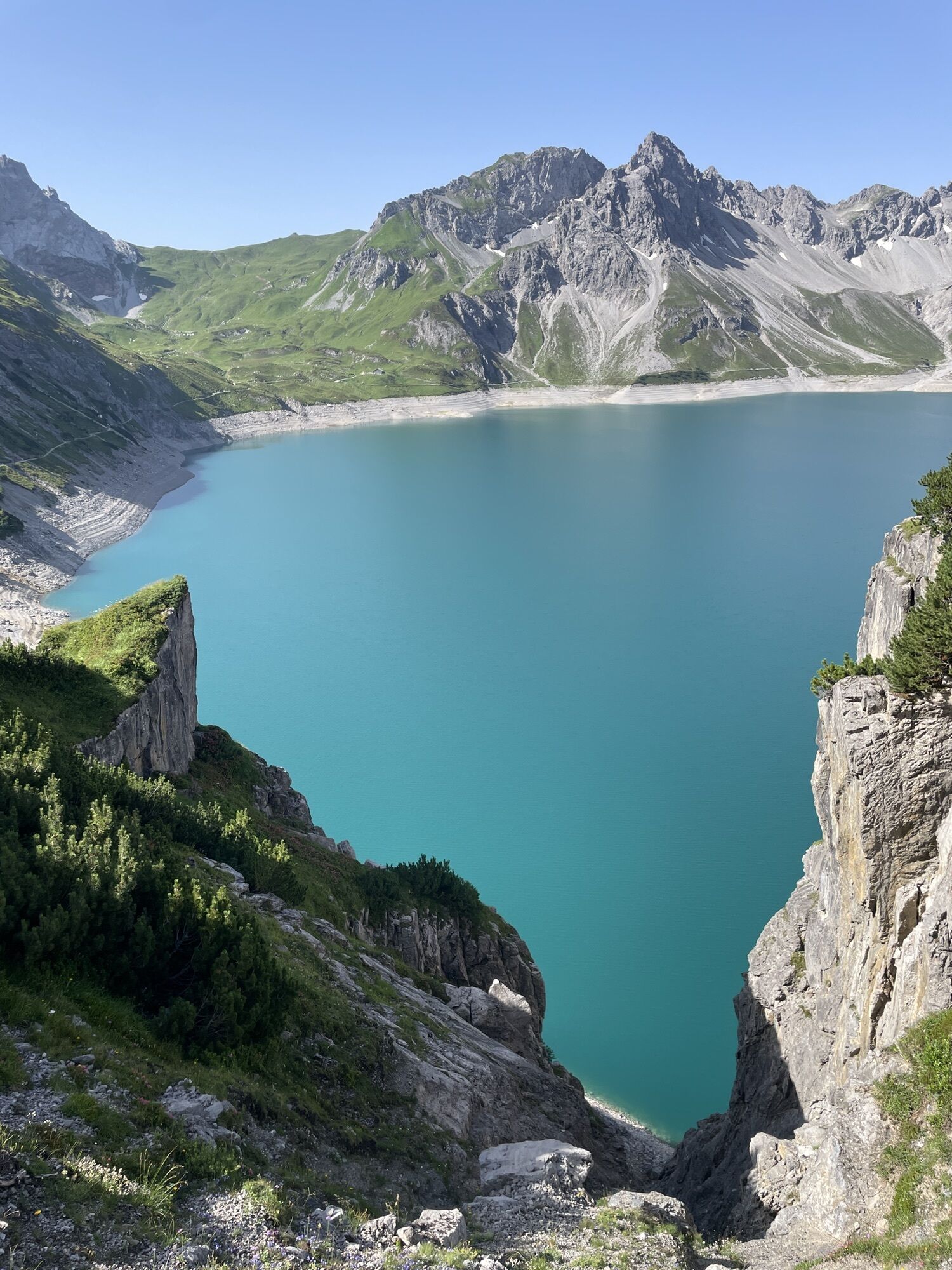
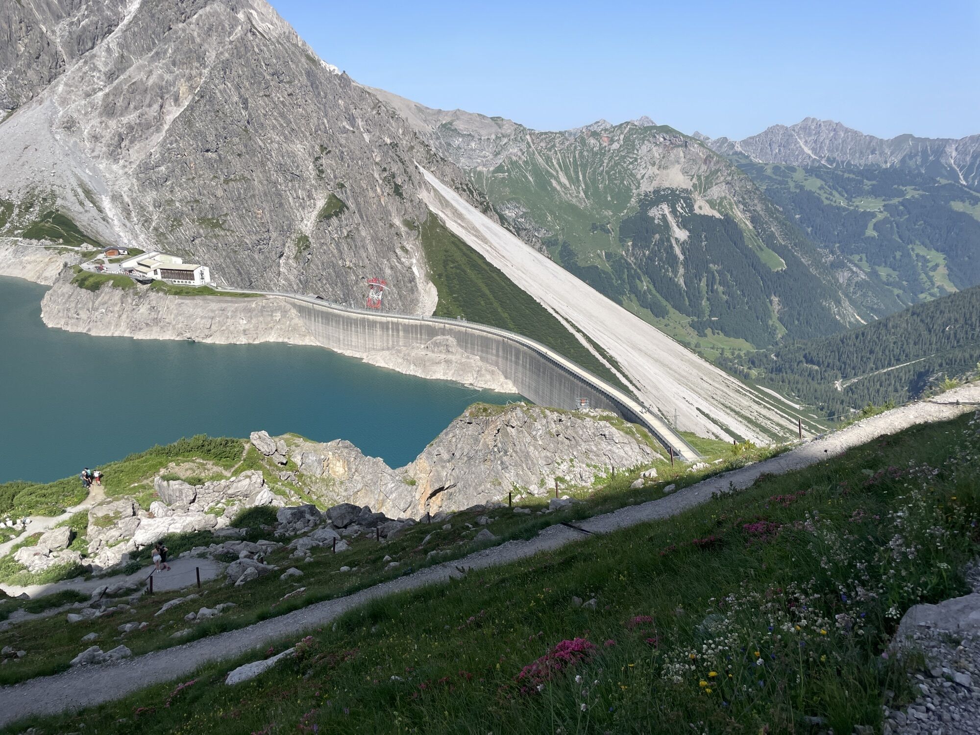
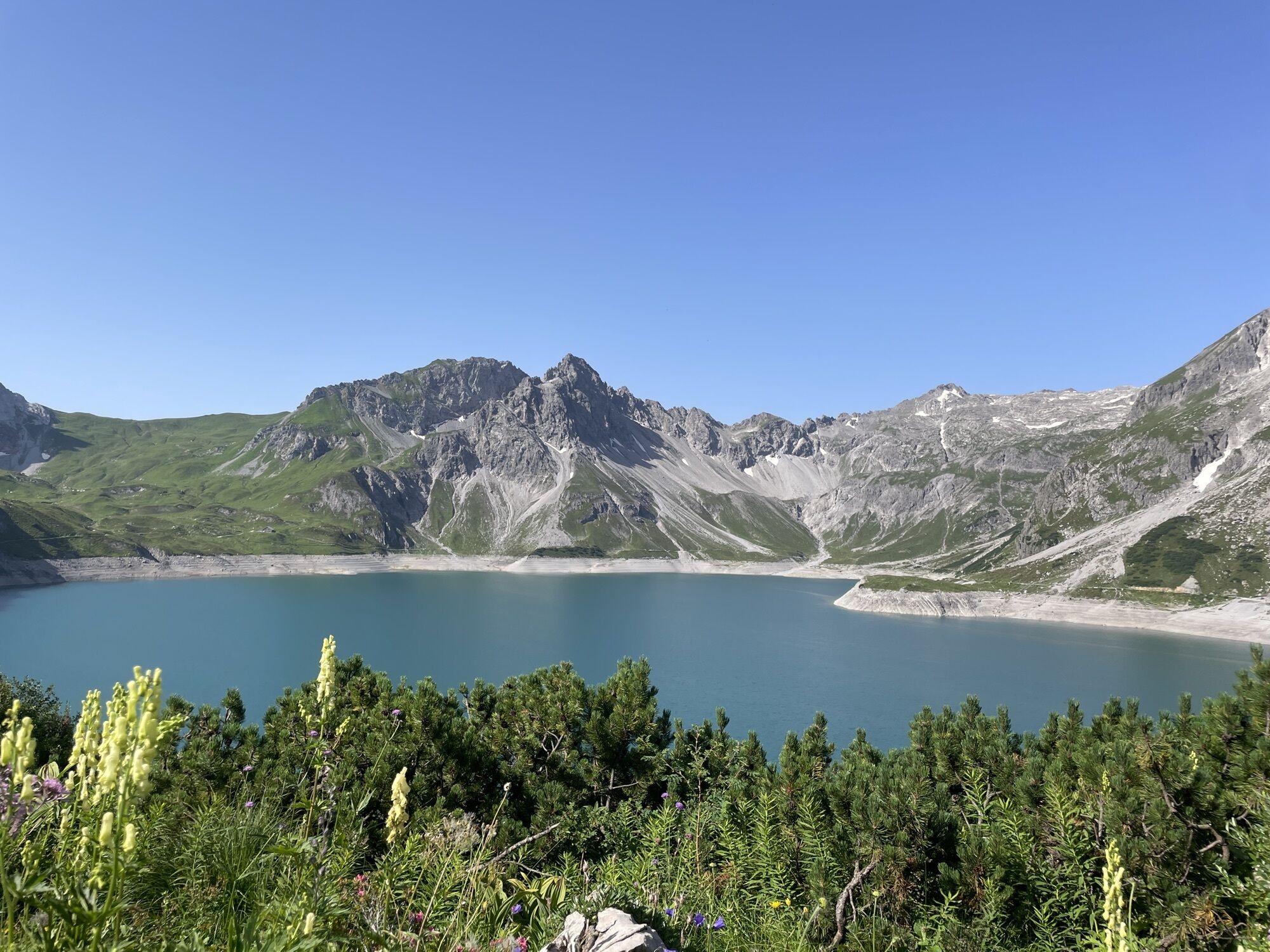
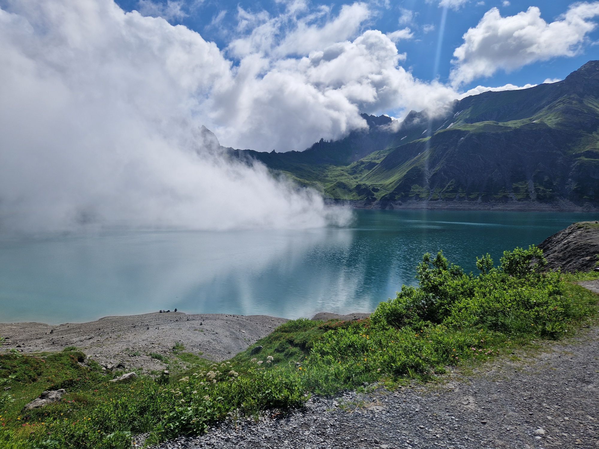
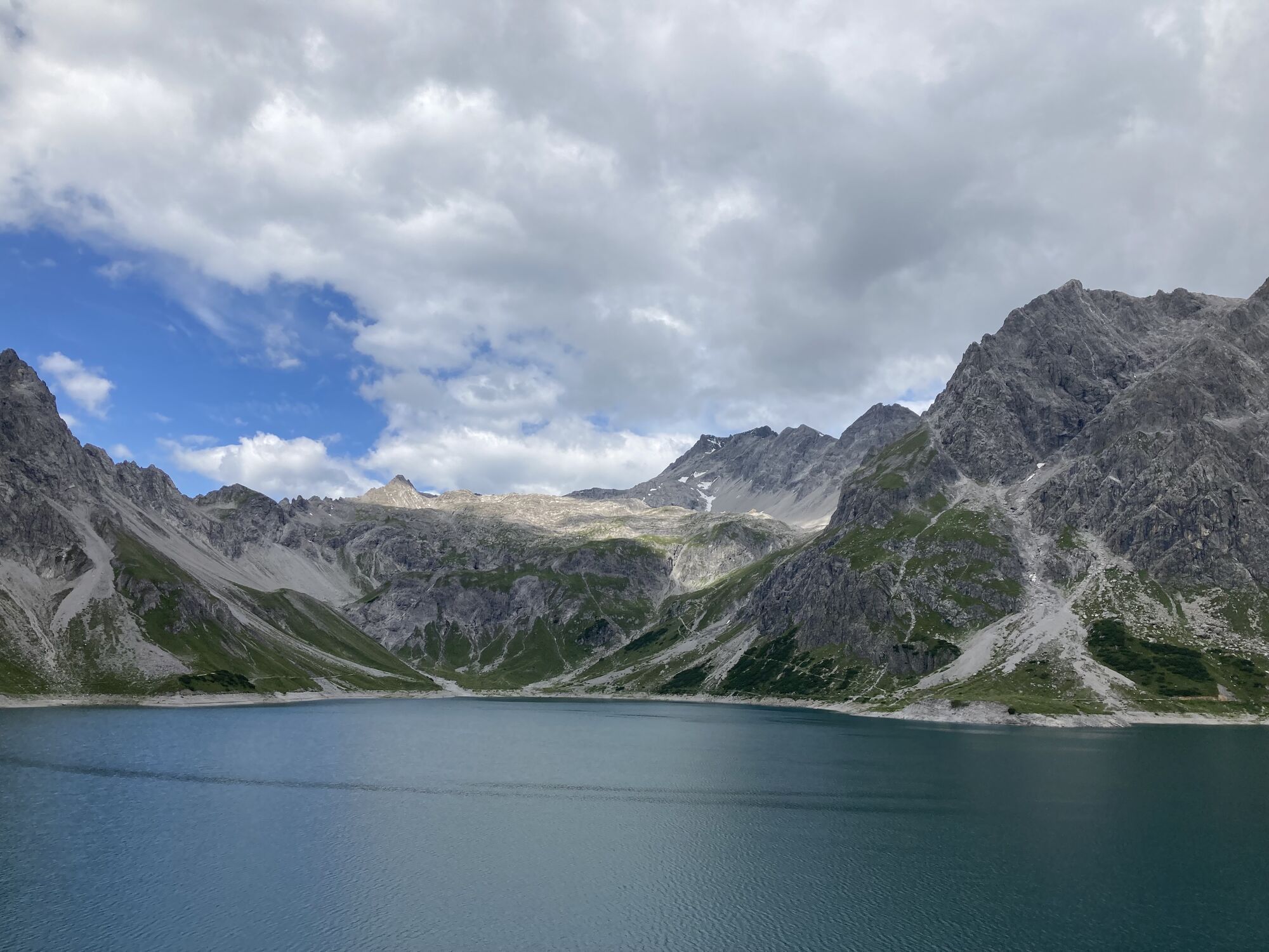
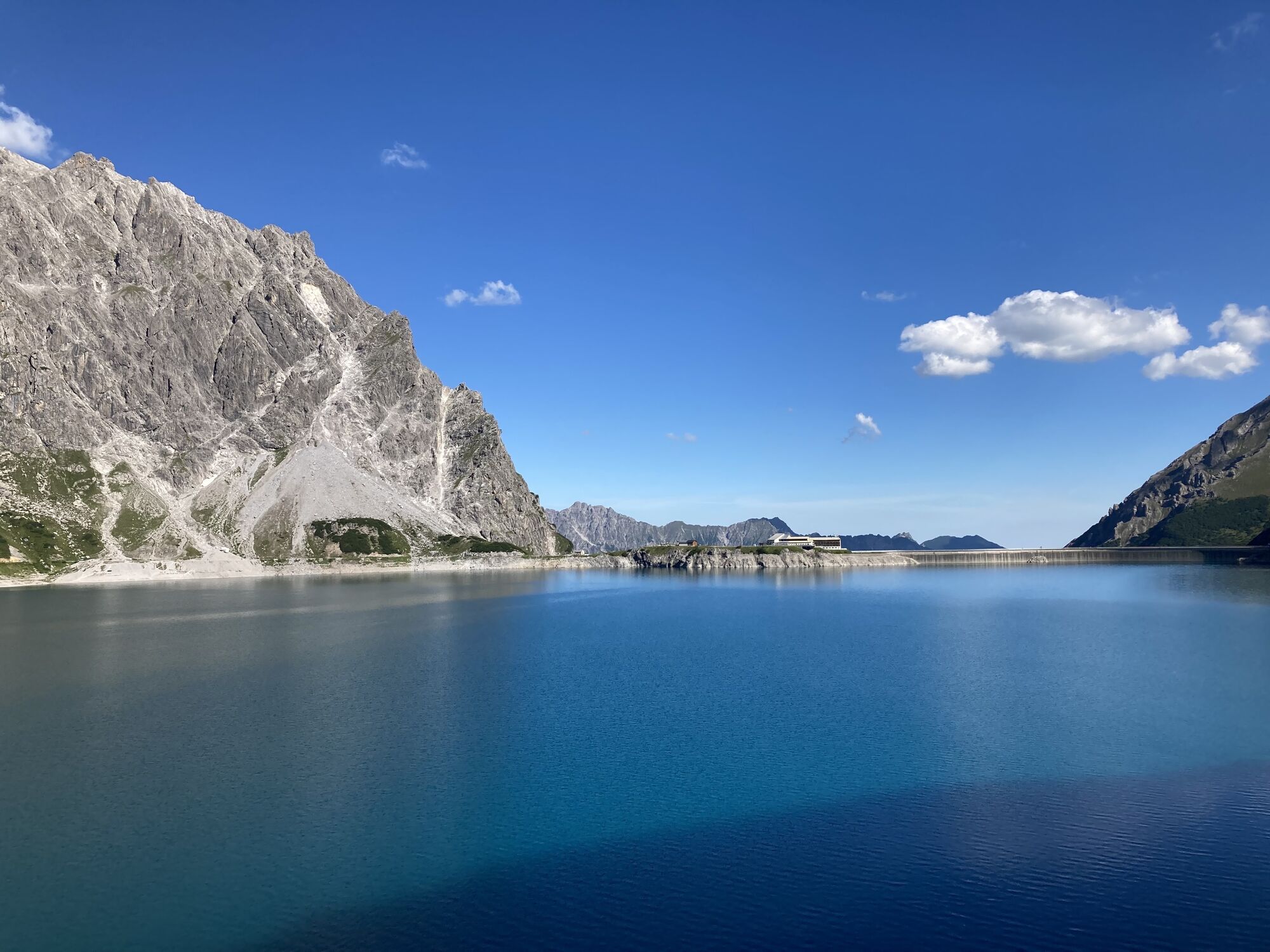
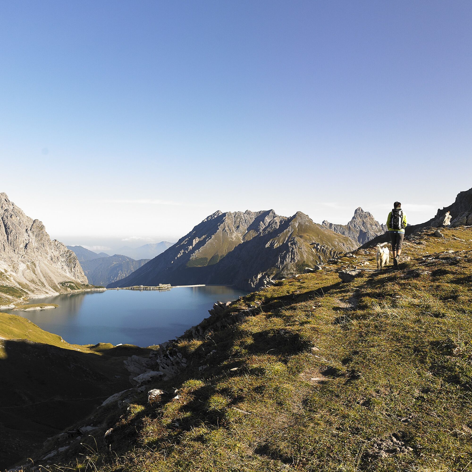
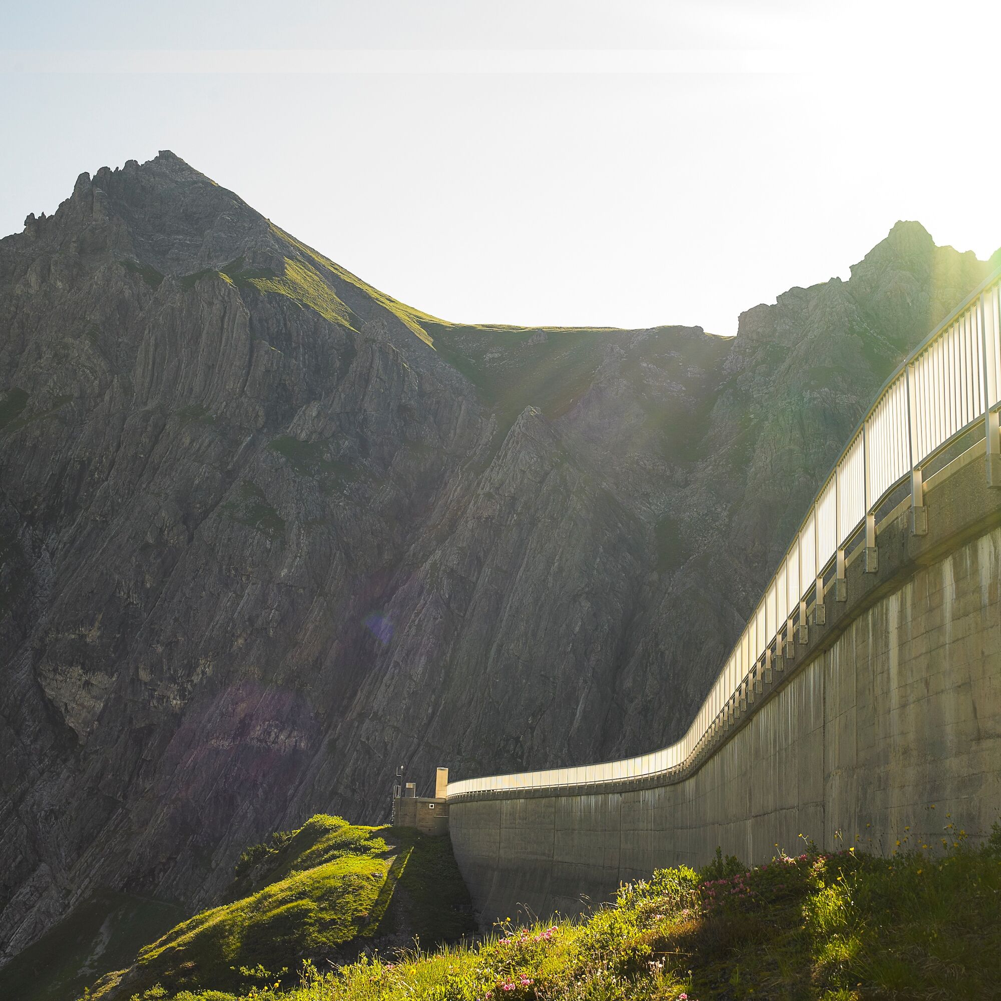
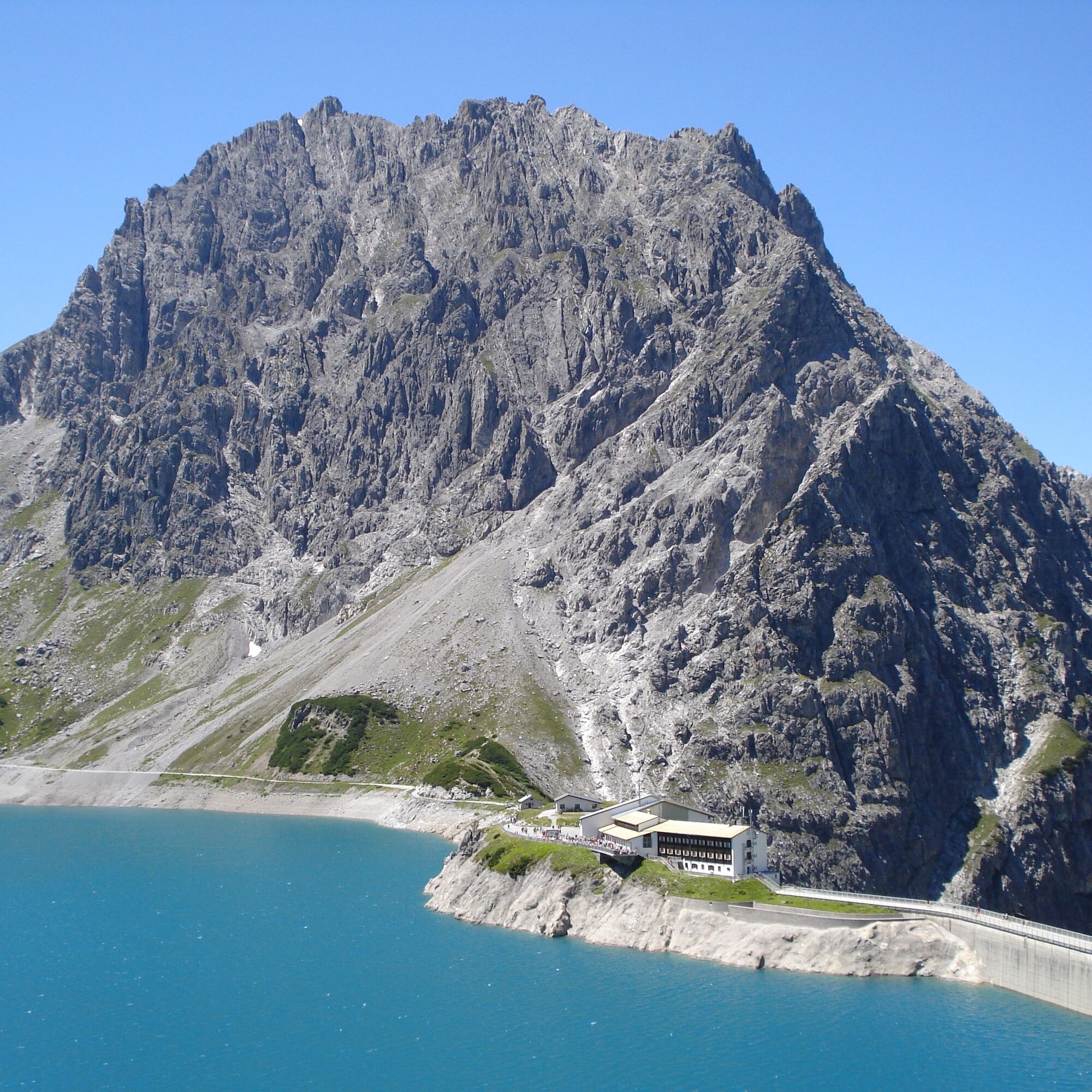
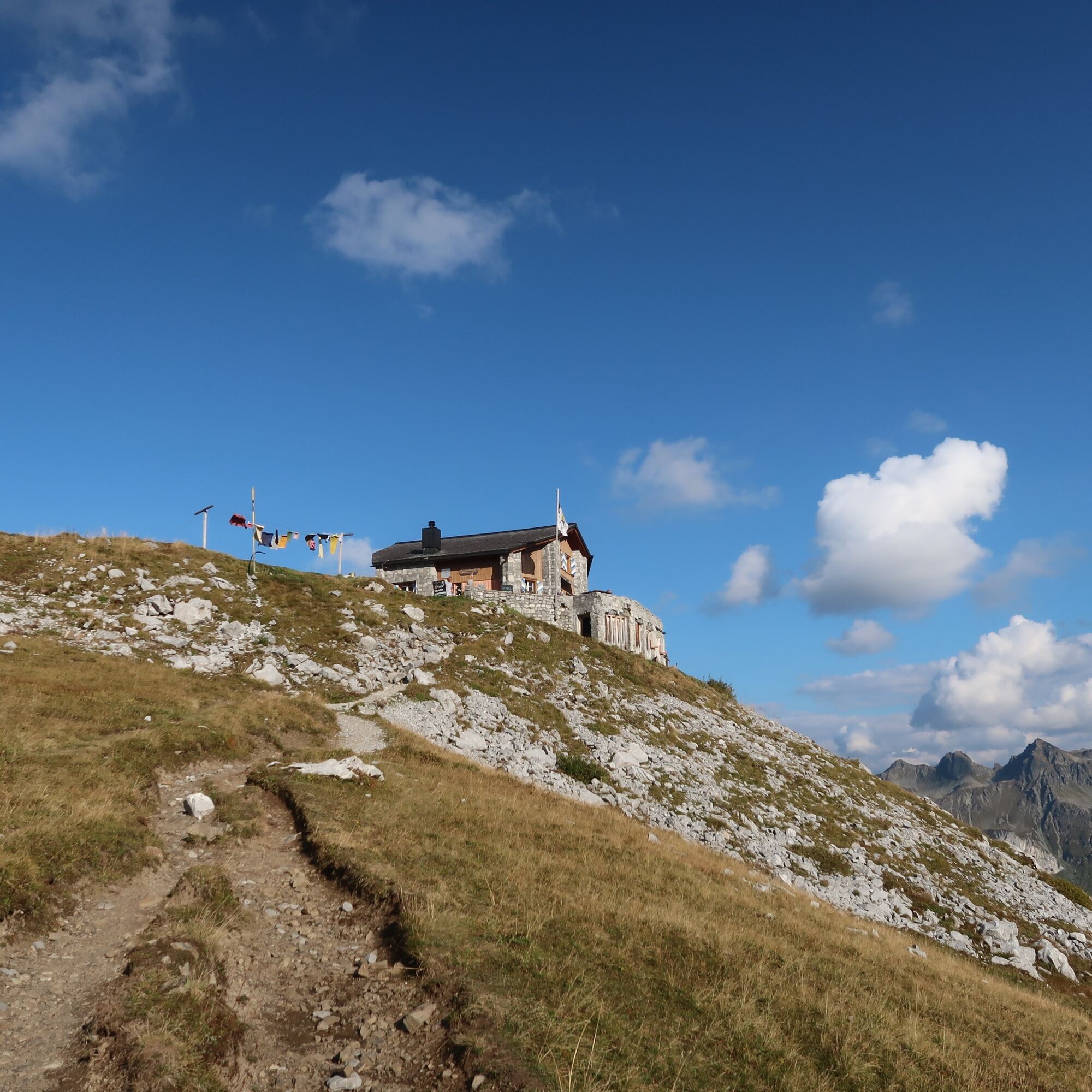
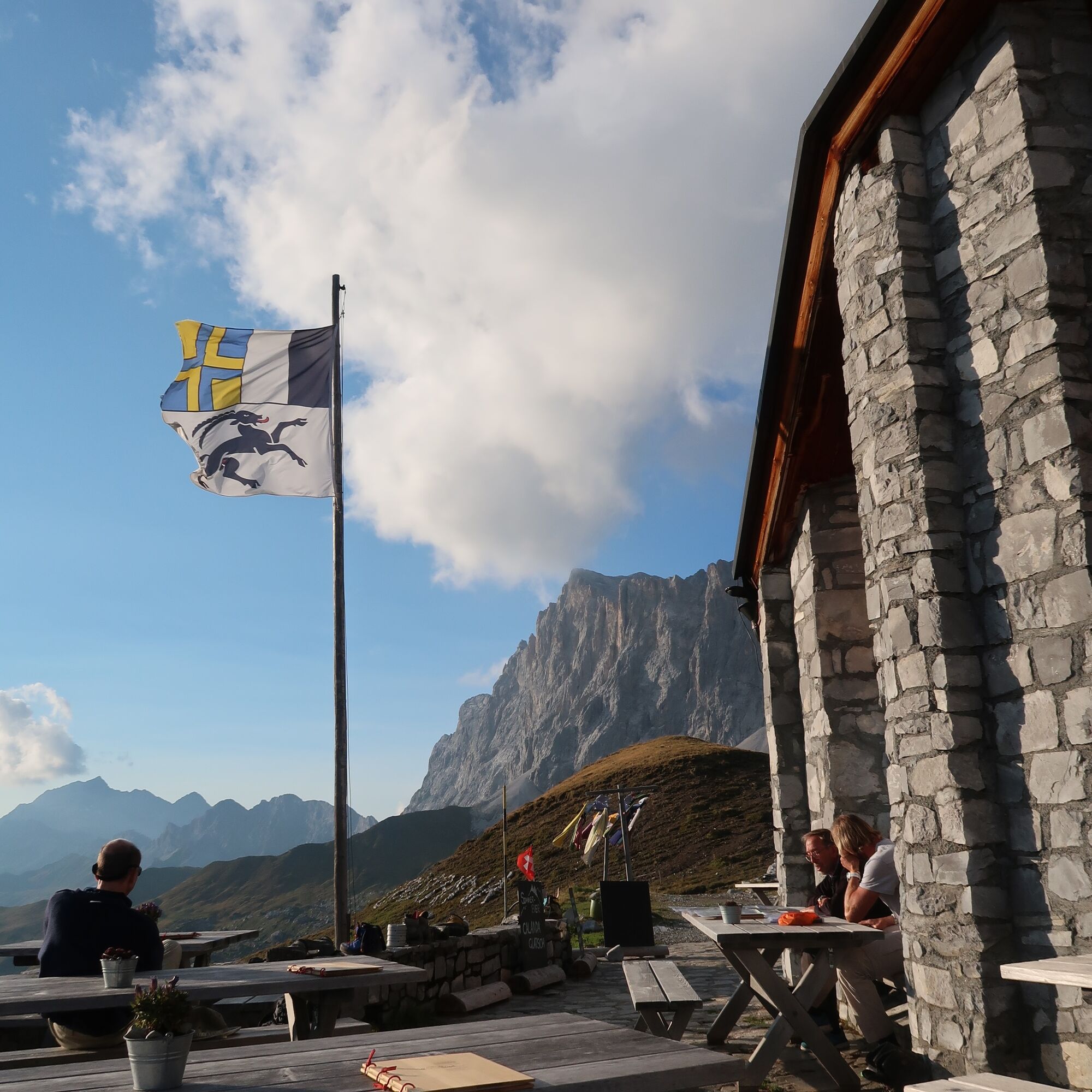
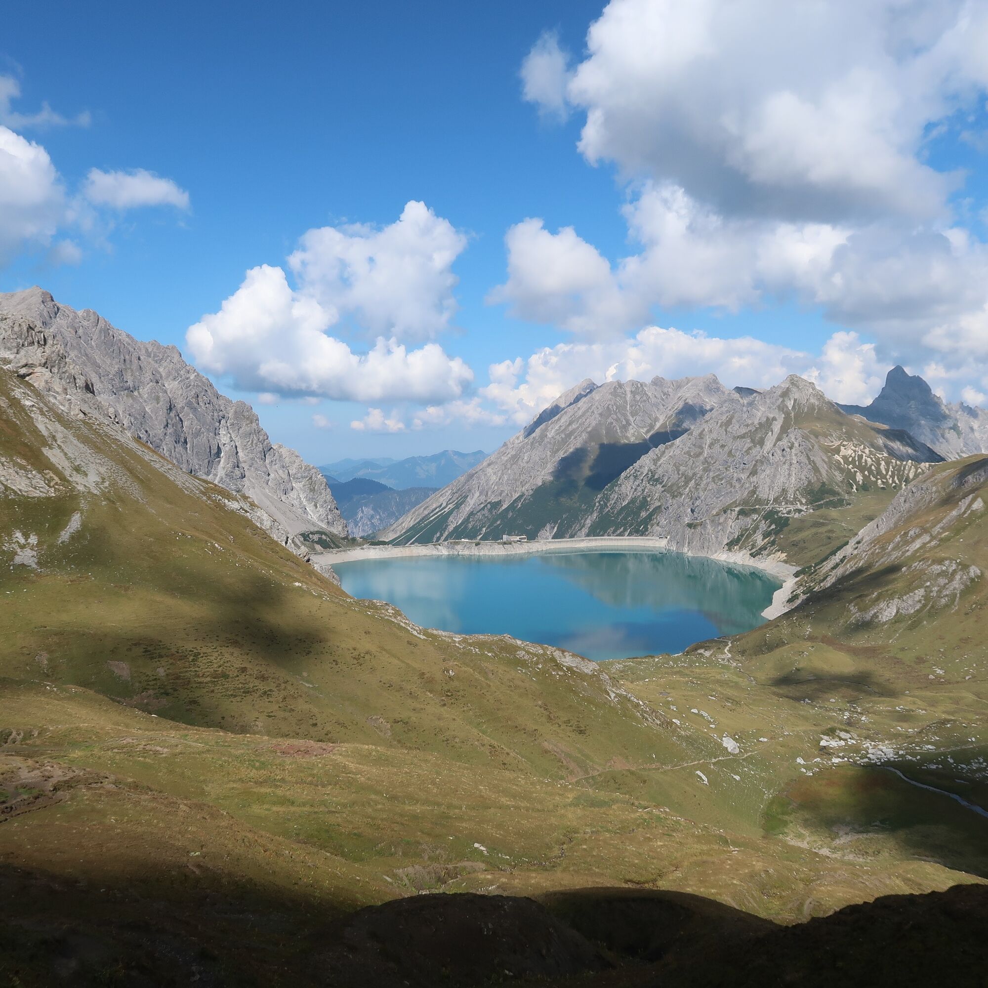
The stage starts at the dam, and you circle the remaining part of Lake Lünersee. Past the Alpe Lünersee, the trail leads up to Gafalljoch (2,239 m). Welcome to Switzerland. In the distance, you can already see the Carschina Hut from here.
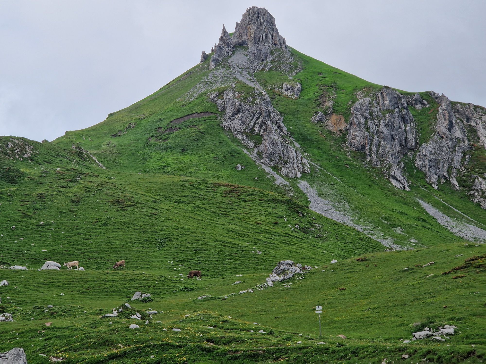
You follow the Prättigau high path past the Kirchli peaks, past the Swiss Gate, continuing under the Three Towers to below the Drusen Gate. From here, it's not far to the Carschina Hut.
Hiking time approx. 6:10 hrs // approx. 13.7 km // ascent 970 m, descent 728 m
Stage 2: Carschina Hut to St. Antönien
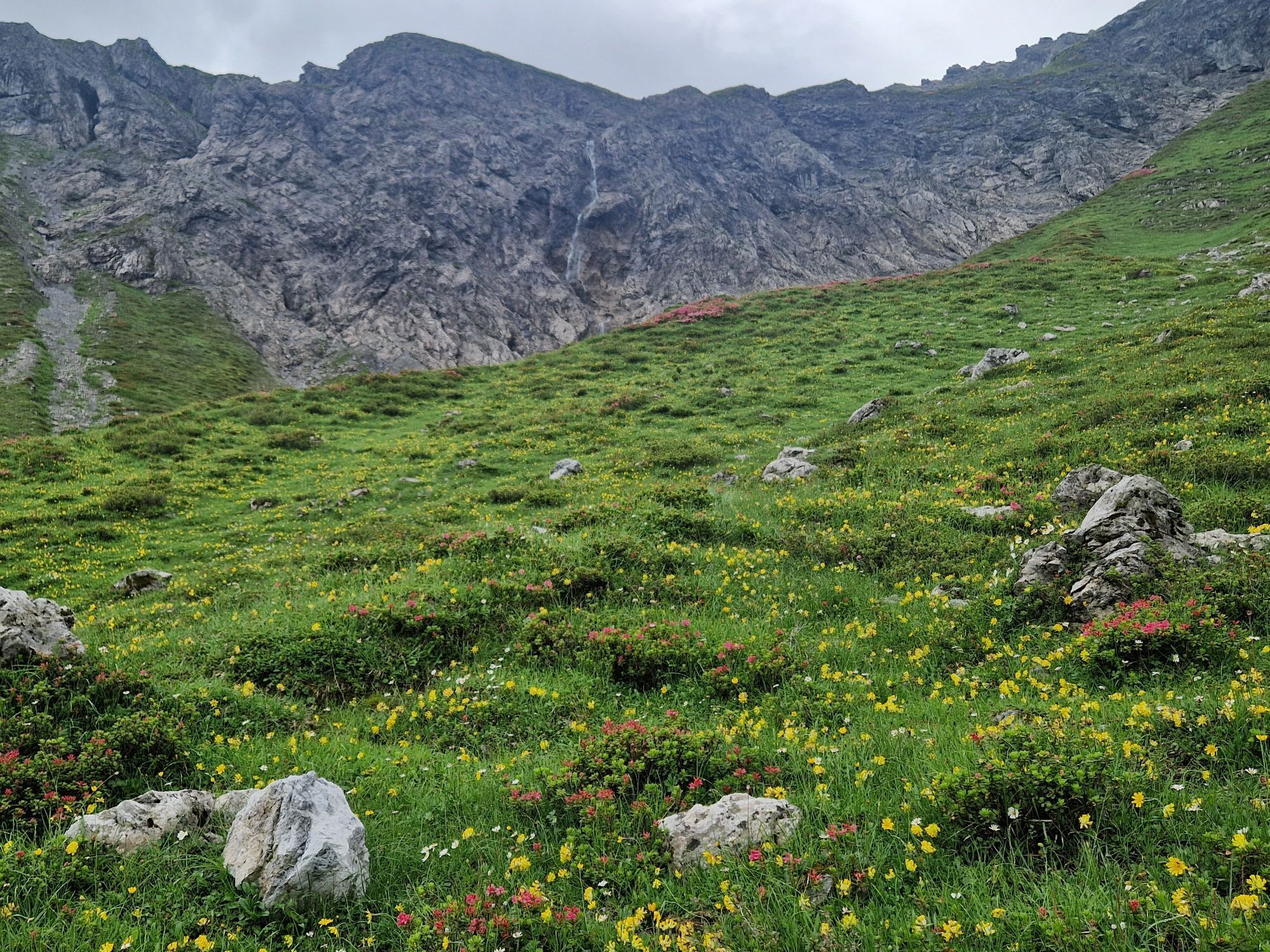
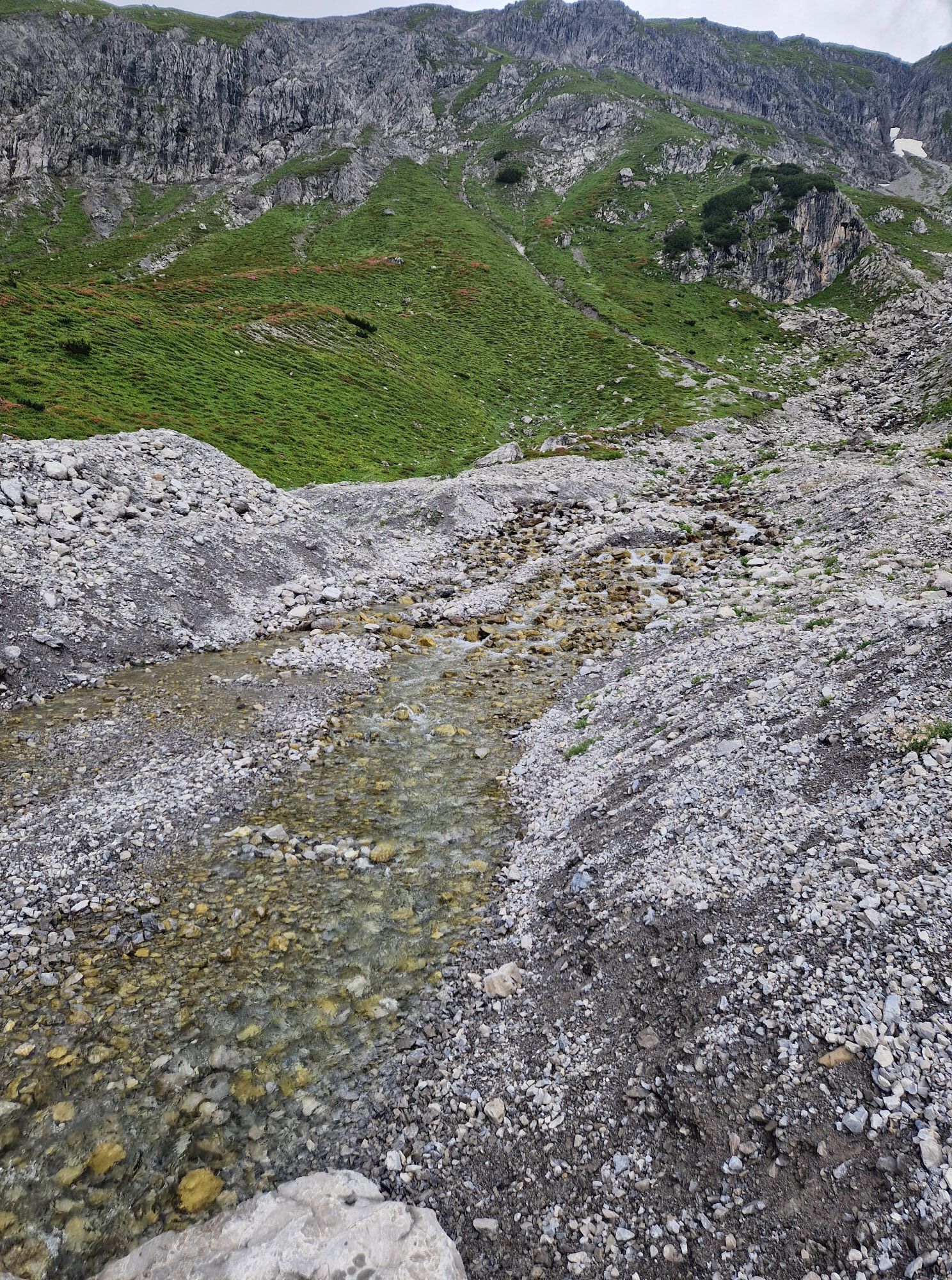
Below the fantastic climbing mountain Sulzfluh, you hike along the large moraine flow towards Alp Garschina. To the west stands the large and mighty vertical Schijenflue, with the very interesting adjacent climbing tower, the Schijenzahn. Over Mittel- and Untersäss and then along the beautiful Schanielbach, you reach the charming village of St. Antönien.
Hiking time approx. 2:45 hrs // approx. 7.5 km // ascent 8 m, descent 808 m
Stage 3: St. Antönien to Gargellen
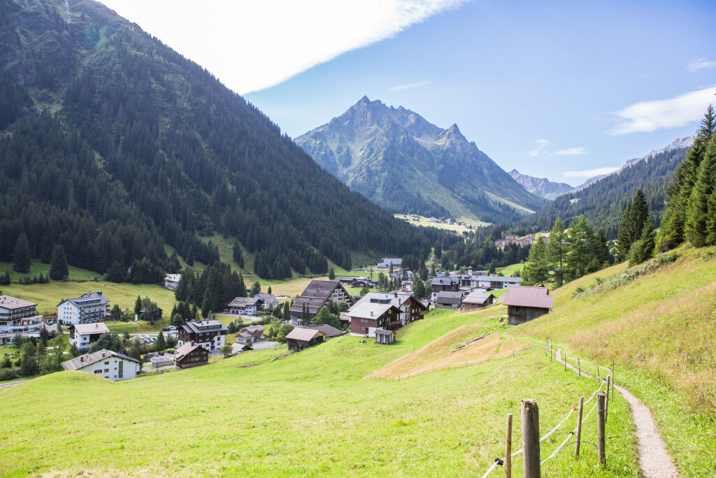
From St. Antönien square with the very beautiful Gothic church built in 1493, you reach after a short walk the junction leading into the Gafia. At the small settlement Dörfji, you turn towards St. Antönier Joch, also called Gargäller Joch. The hiking trail steeply leads over the well-managed alpine meadows up to St. Antönier Joch at 2,379 m above sea level.
The Antönier Joch forms the border between Austria and Switzerland. Just below the pass, you can choose between two route variants. Either you follow the steeper but more direct path over the high pastures of the Gargellner Alps through the Gargellner Alptobel and via Rüti to Gargellen (1,423 m), or you turn right just below the pass and follow the more comfortable path at the foot of the Gargellner peaks to the mountain station (2,130 m) of the Schafberg railway.
If you want to save your strength, you can comfortably descend to Gargellen by railway.
Hiking time approx. 5:15 hrs // approx. 10.5 km // ascent 963 m, descent 968 m
Stage 4: Gargellen to Tübinger Hut
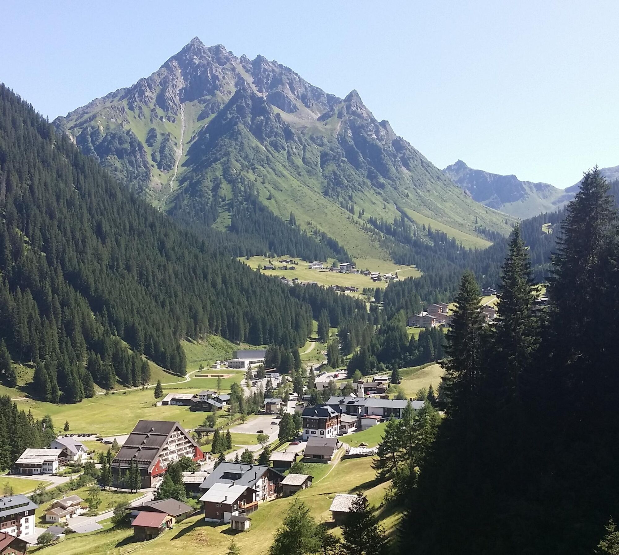
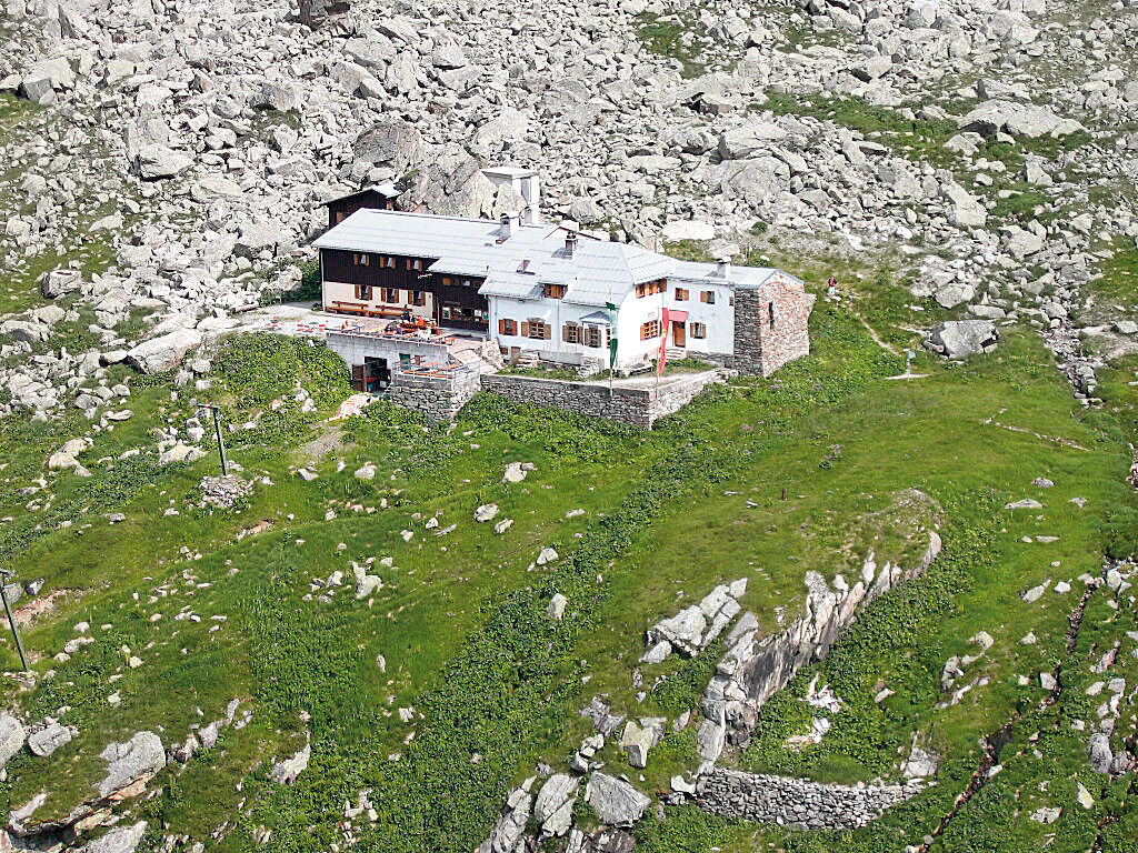
From the center of Gargellen (1,423 m), you cross the next bridge over the Suggadinbach to the forest edge at the foot of the steep Schmalzberg and hike on a farm road to the Vergaldaalpe (1,820 m). From there, the route winds on an alpine path with moderate ascents about one hour further into the valley. From the Rotbühel hunting hut, the mountain path winds upwards to the 2,515 m high Vergaldner Joch. Through a cirque hollow, you reach the Mittelbergjoch at 2,415 m height. From there, it goes steeply down about 100 meters, then only slightly downhill until you meet the path to Garnerajoch. From there, you go straight ahead and reach almost level the Tübinger Hut (approx. 1 hour from the Vergaldner Joch).
Hiking time approx. 4:40 hrs // approx. 12.1 km // ascent 1,111 m, descent 324 m
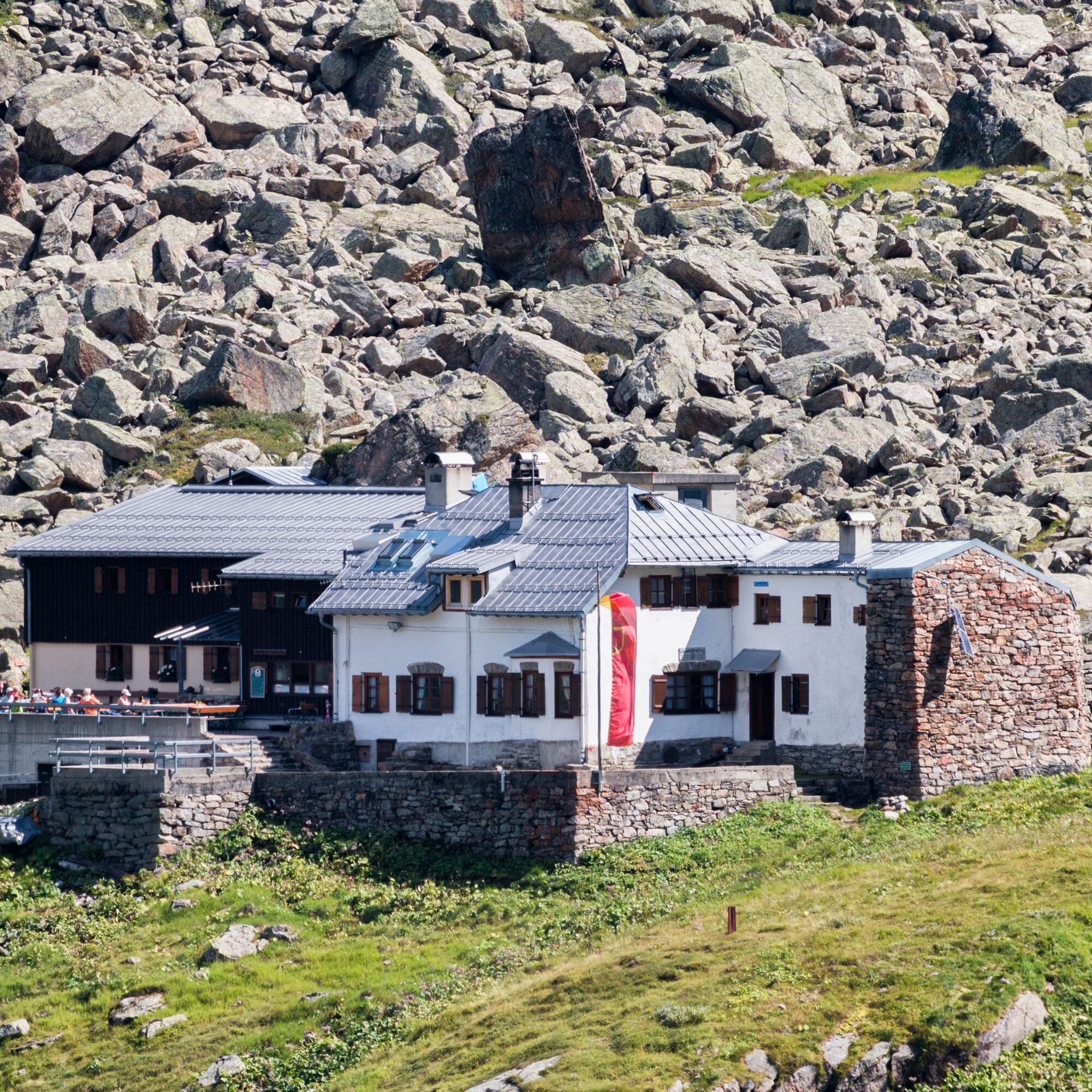
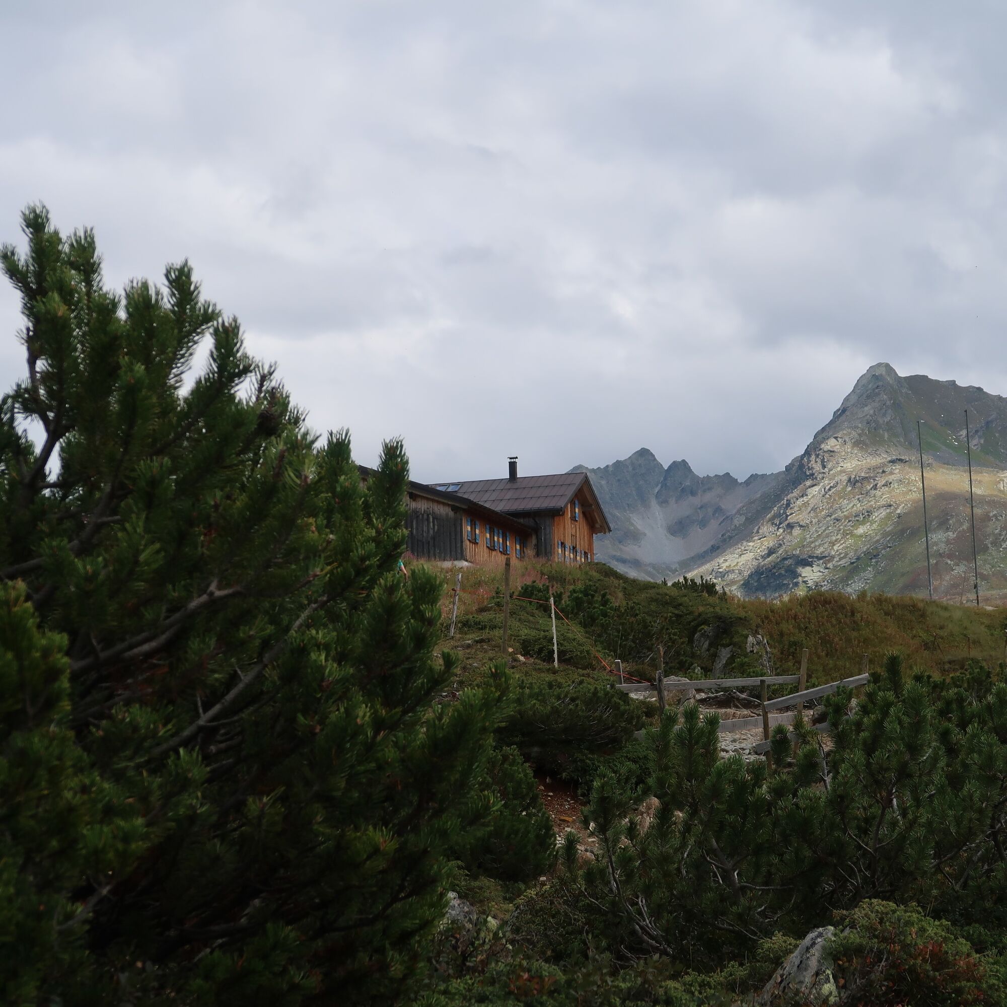
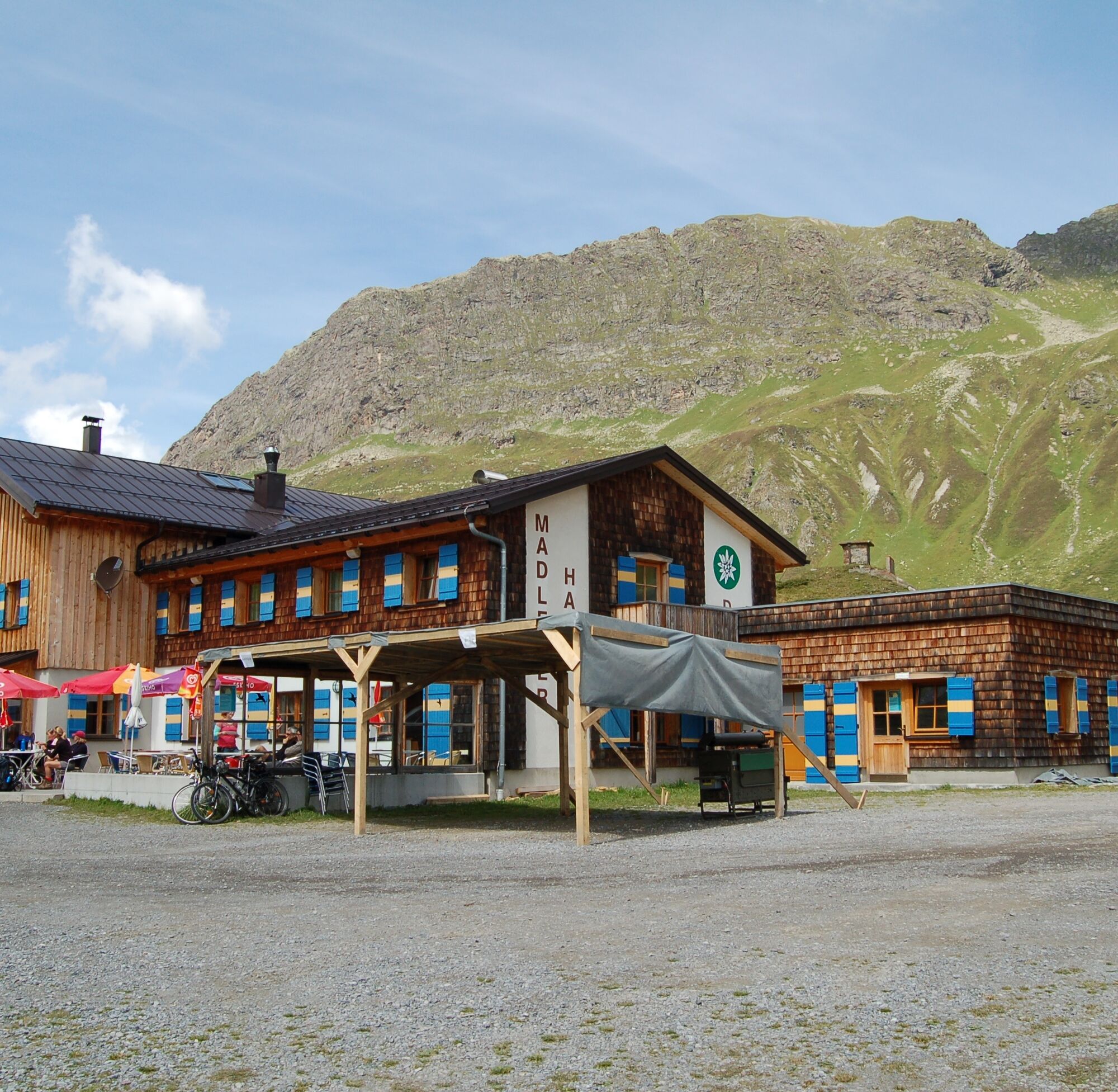
Stage 5: Tübinger Hut to Madlener House
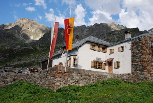
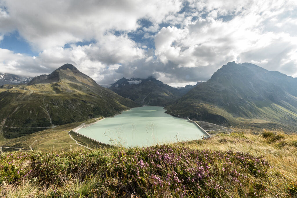
From the Tübinger Hut, the trail leads northeast through the Gatschettatäli on the partly exposed "Gunserweg" through the steep slopes of the Valgragges ridge to the Hochmadererjoch at 2,505 m height (approx. 2.5 hours). With 2,823 m height, the Hochmaderer is considered one of the most scenic mountains in Montafon with views over the entire Silvretta, Verwall, and the eastern Rätikon. The steep ascent requires alpine experience, surefootedness, and freedom from vertigo, taking about 2.5 hours round trip. From the Hochmadererjoch, it goes steeply downhill and later over alpine meadows above the Vermunt reservoir to the Kromerbach, which you cross by a small bridge. Parallel to the road to the Bielerhöhe, you reach the Bielerhöhe and the Madlener House at the Silvretta reservoir (approx. 1.5 hours from Hochmadererjoch).
Hiking time approx. 4:10 hrs // approx. 9.1 km // ascent 298 m, descent 605 m
Weather-appropriate clothing
Sturdy footwear with good tread
Enough drinks, a snack if needed
EMERGENCY CALL: 144
European emergency number: 112 (works with any mobile/ network)
The accommodations are very well booked. Therefore, you should book your overnight stay in advance to ensure you have a place to sleep.
Webové kamery z prehliadky
-
Pizzeria Barga
-
Palüdbahn Talstation
-
Pizzeria Barga
-
Gargellen - Haus Gadafent
-
Silvretta - Bielerhöhe
-
Lünersee - Douglass Hütte
-
St. Antönien - Skilift
-
Skilift St. Antönien
-
Tilisunahütte
-
Tilisunahütte
-
Hueter Hütte
-
Hueter Hütte
-
Gargellen
-
St. Antönien - Bord / Aschüel
-
Silvretta-Montafon - Valisera Berg
-
Gargellen Süd
-
Gargellen West
-
Berghaus Sulzfluh
-
Berghaus Sulzfluh
-
Berghaus Sulzfluh
-
Gargellen - Alpenhaus Montafon
Získajte prehľad
Vždy naživo na mieste s viac ako 9 500 webovými kamerami. bergfex Ako používateľ Pro si teraz môžete pozrieť príslušné webové kamery pre mnohé zájazdy v aplikácii zájazdy z. Môžete si tak priamo prezerať aktuálne podmienky.
Obľúbené výlety v okolí
-
5,0
Ski tour to the Lindauer Hut (1,744 m)
svetloSkitour 14,0 km -
4,7
Smuggler’s path
strednáTematická trasa 8,60 km -
4,4
Golm-Rundwanderweg im Rätikon
strednáTematická trasa 7,28 km -
4,7
Over the historic mine and Fritzensee to Rellseck
strednáTuristika 7,25 km -
4,2
Golmerbahn Bergstaion Grüneck - Golmer Höhenweg - Geißspitze - Lindauer Hütte - Latschau
strednáTuristika 11,5 km -
4,4
Madrisella summit path
strednáTematická trasa 10,8 km -
5,0
Douglasshütte, Lünersee, Gafalljoch Brand bei Bludenz, Vorarlberg
svetloTuristika 9,16 km -
4,8
Douglashütte - Schesaplana
strednáTuristika 7,31 km -
3,0
Bergstation Grüneck Golmerbahn - Alpe Latschätz - Lindauer Hütte - Latschau
svetloTuristika 11,1 km -
5,0
Around the Kirchlispitzen (2,552 m)
ťažkéTuristika 14,8 km
Turistika a stopovanie


Nenechajte si ujsť ponuky a inšpiráciu na ďalšiu dovolenku
Vaša e-mailová adresa bol pridaný do poštového zoznamu.





