







Via ferrata Drusenfluh

Úroveň náročnosti: C/D
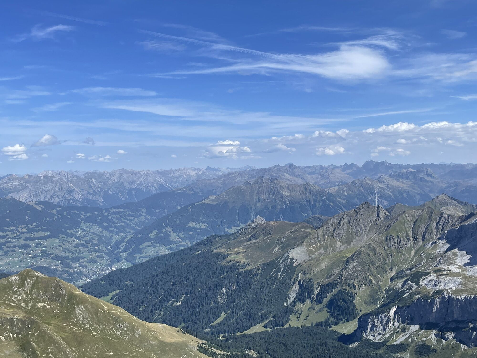
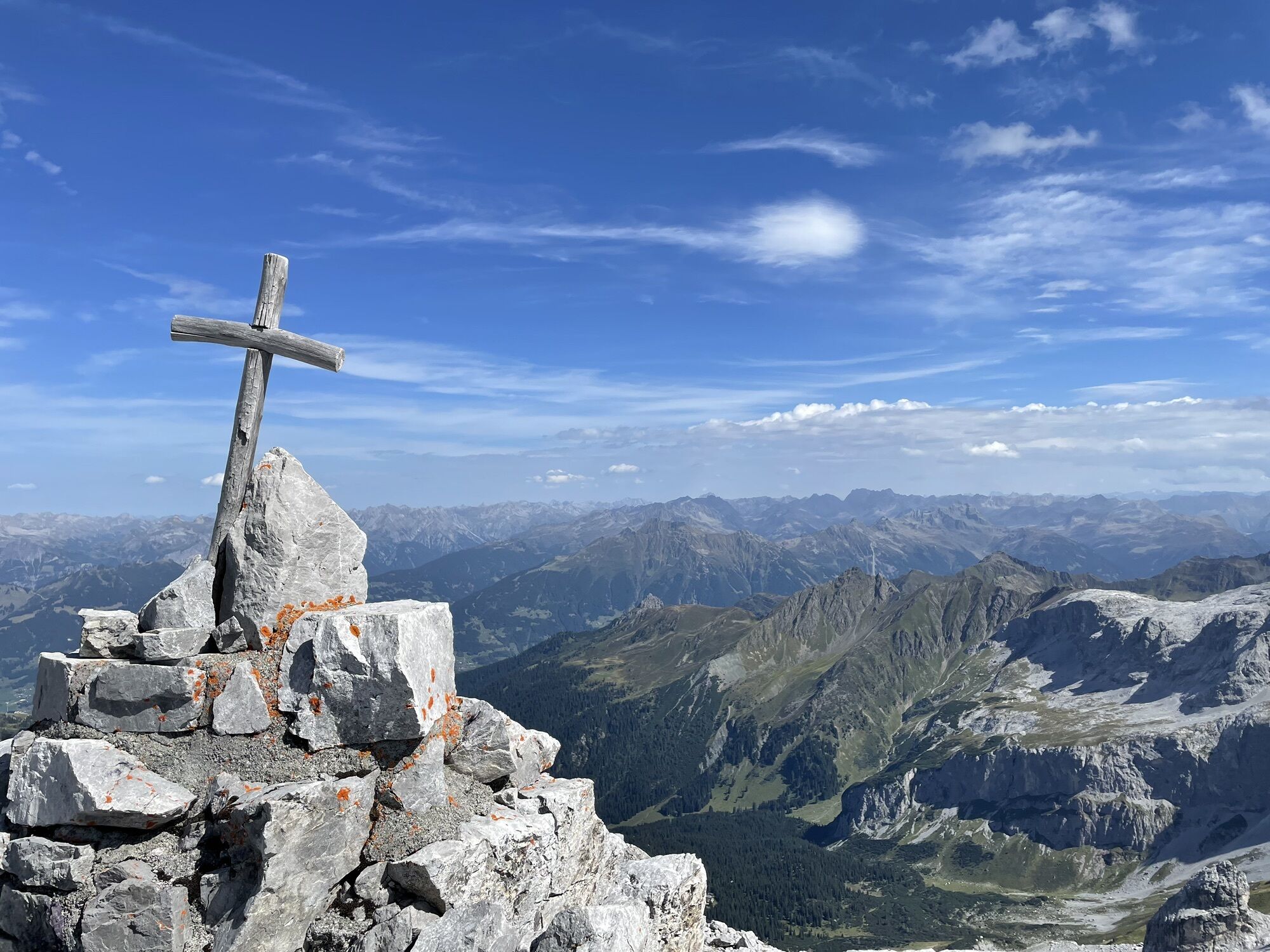
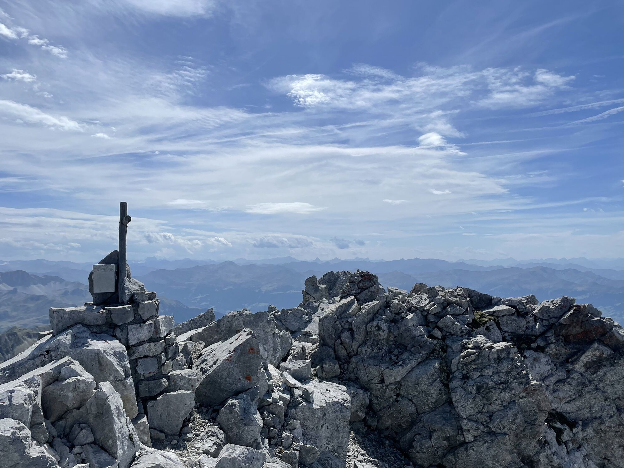
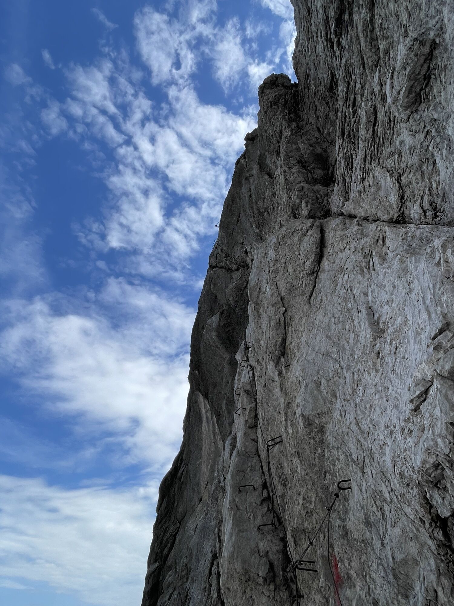
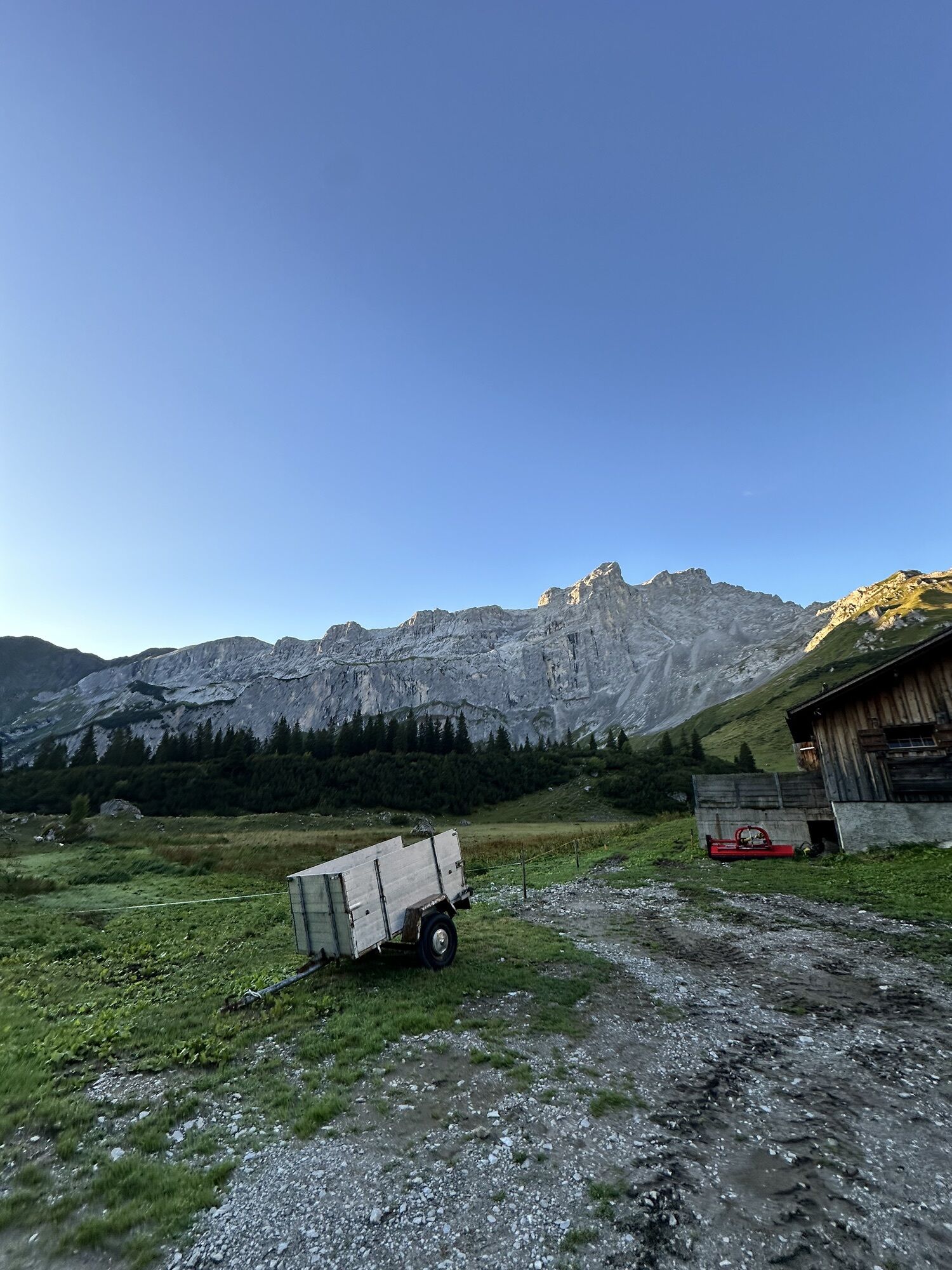
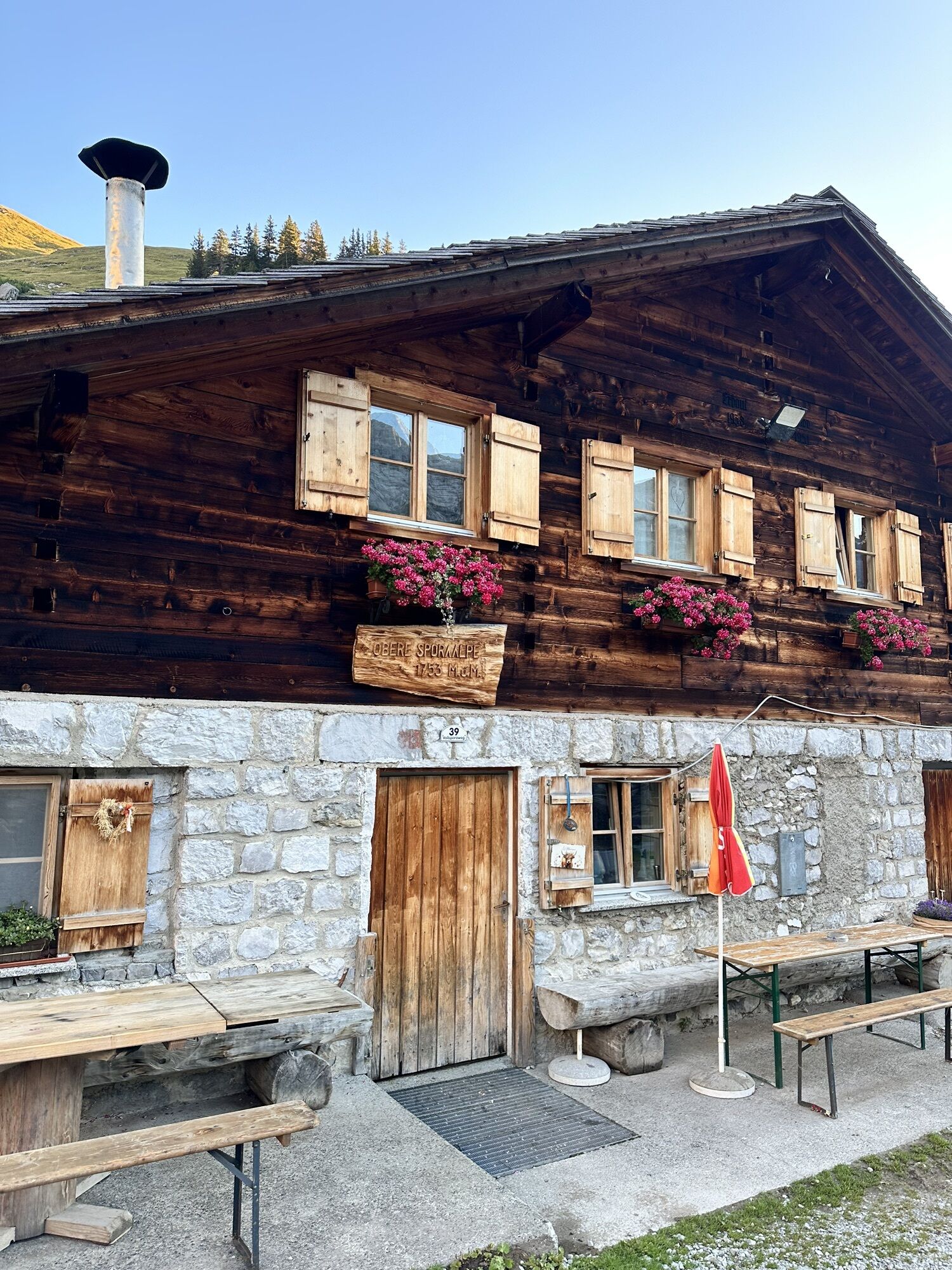
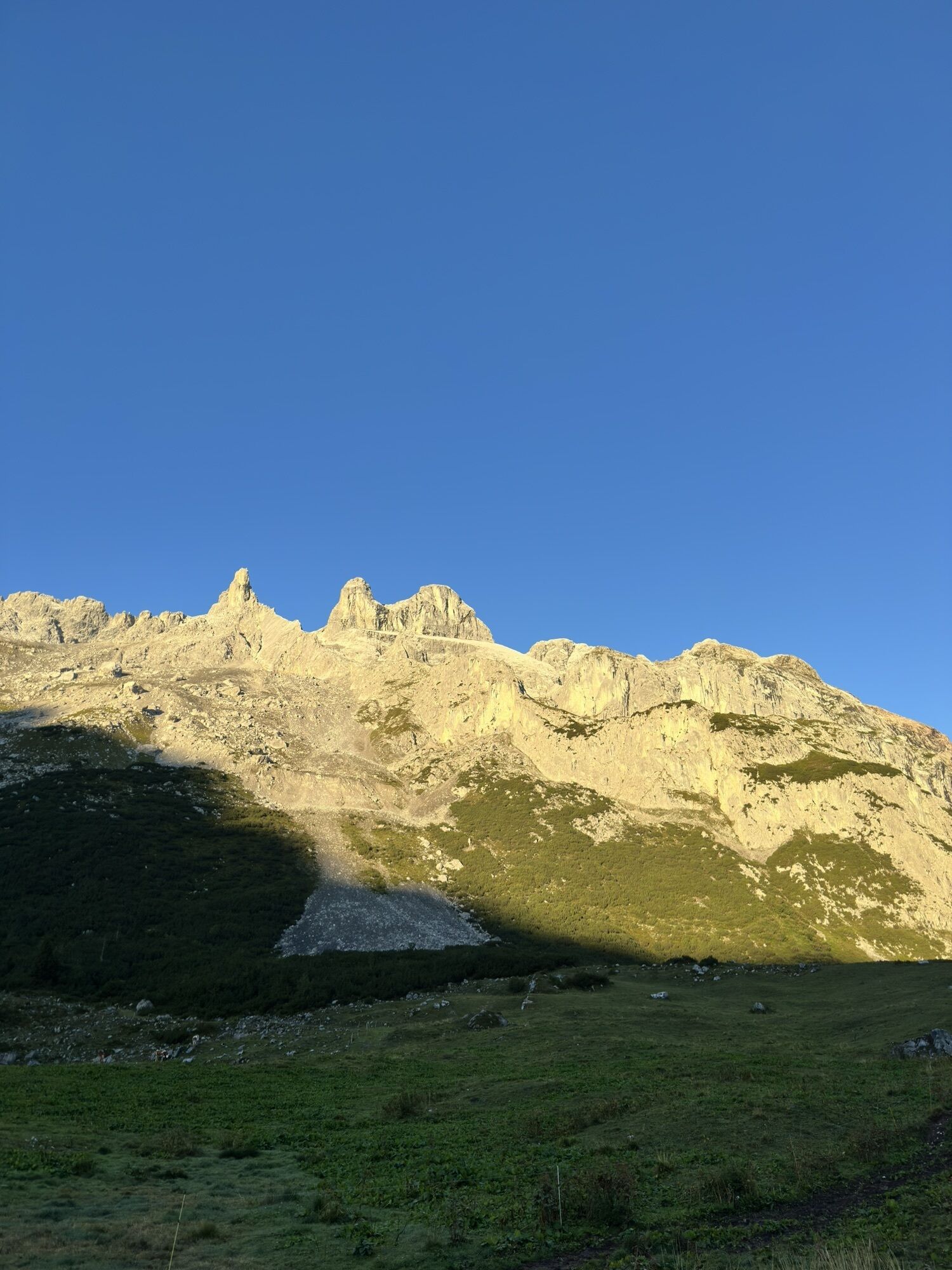
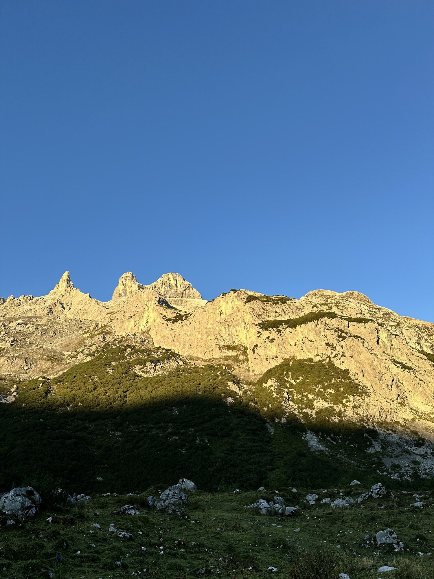
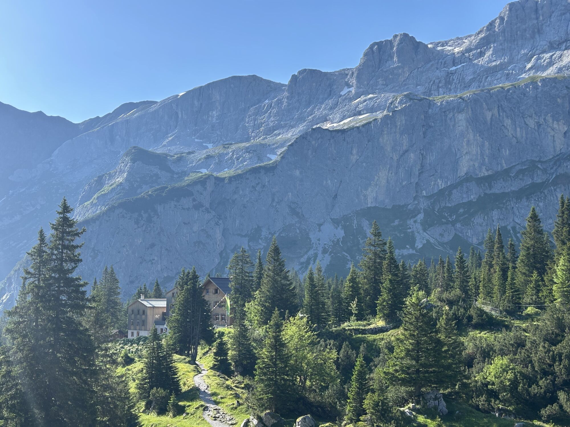
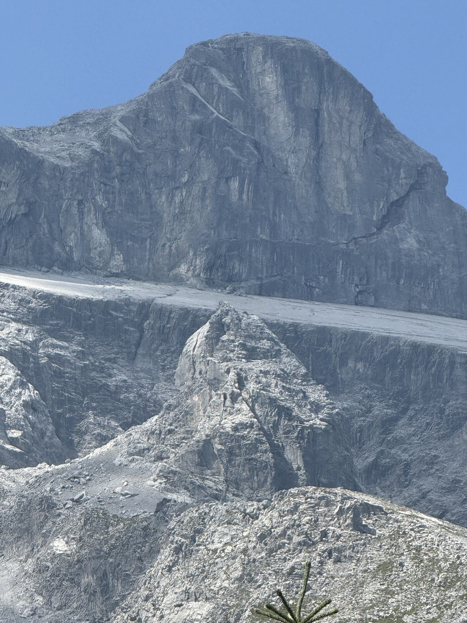
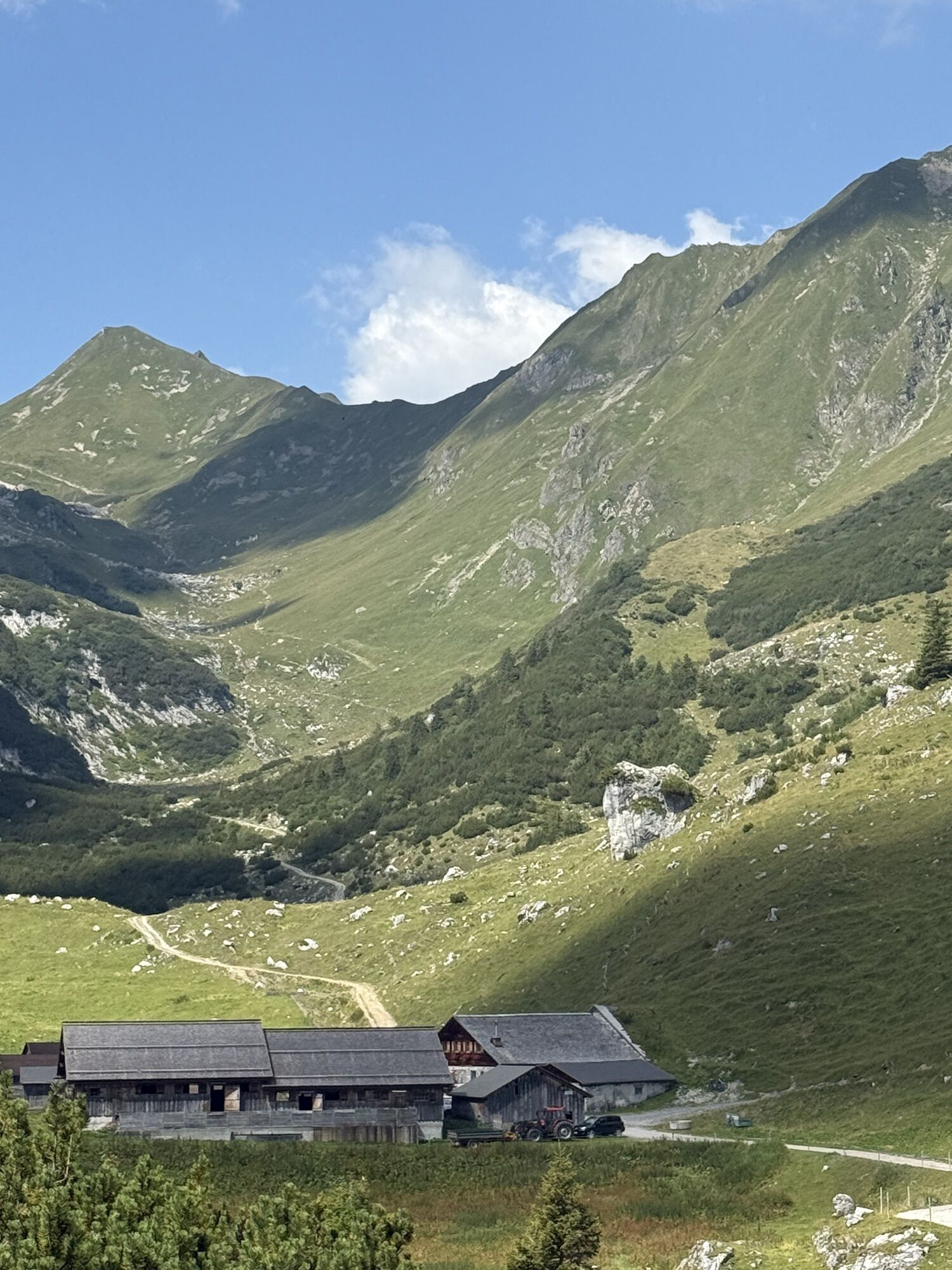
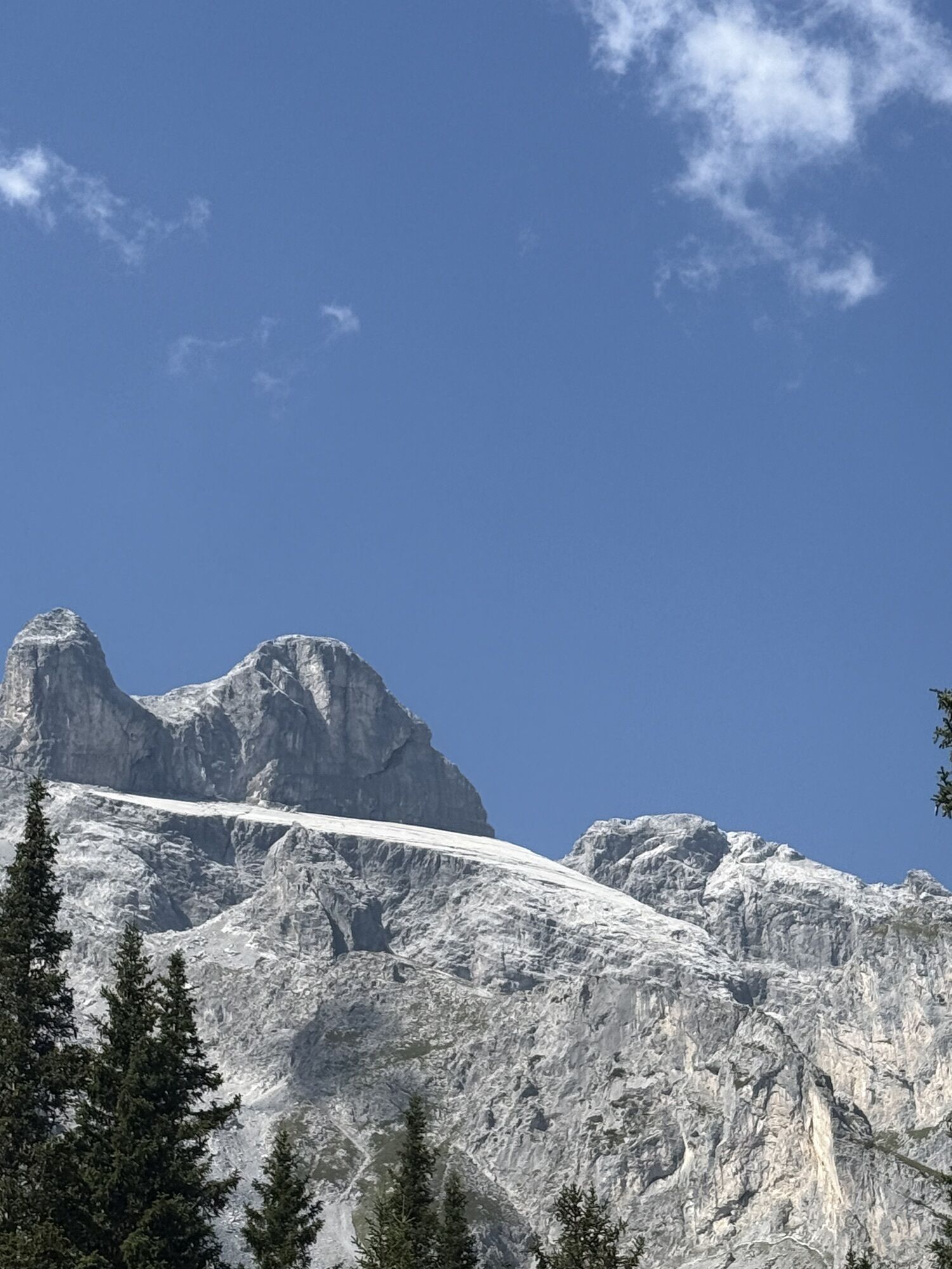
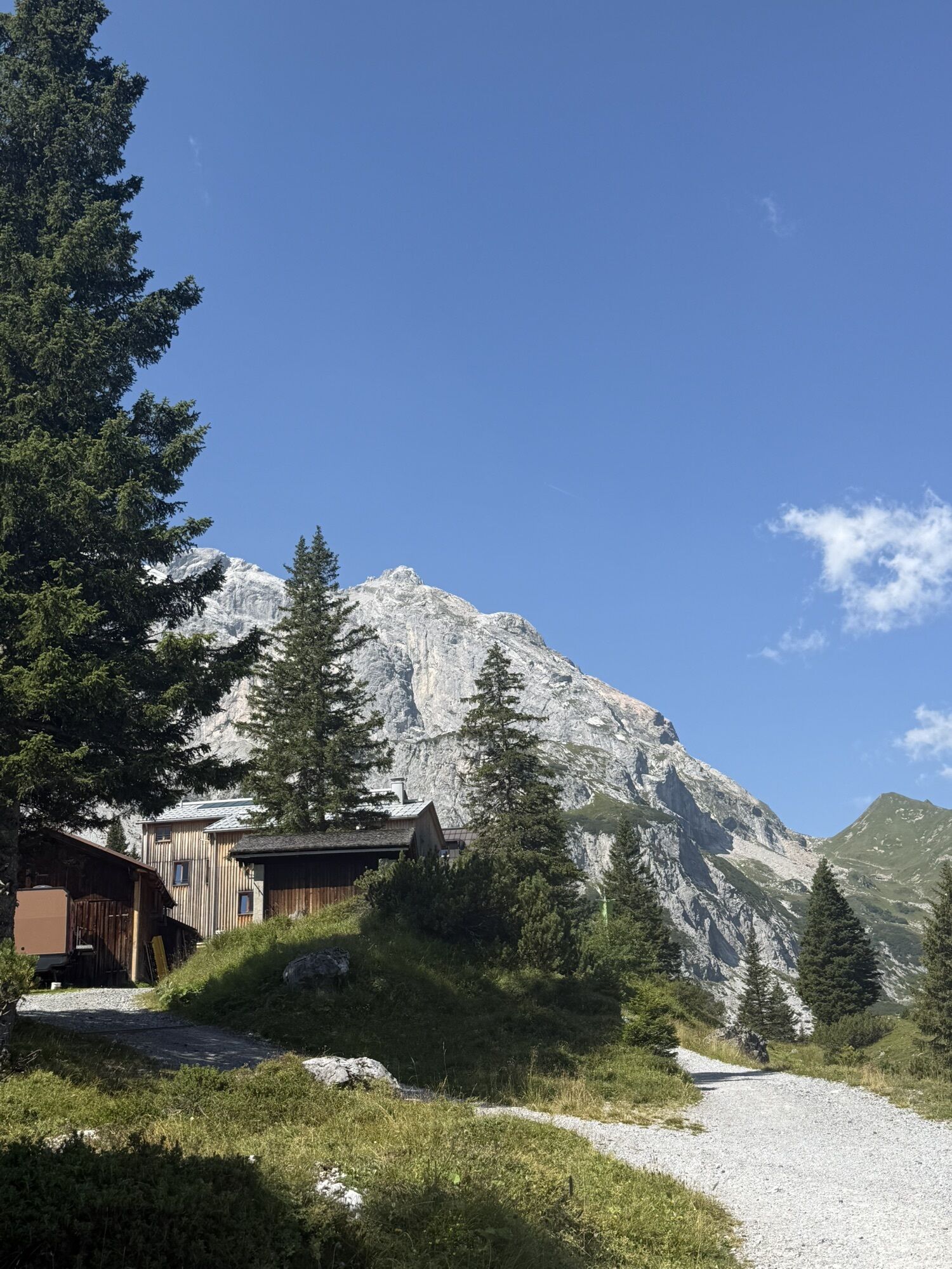
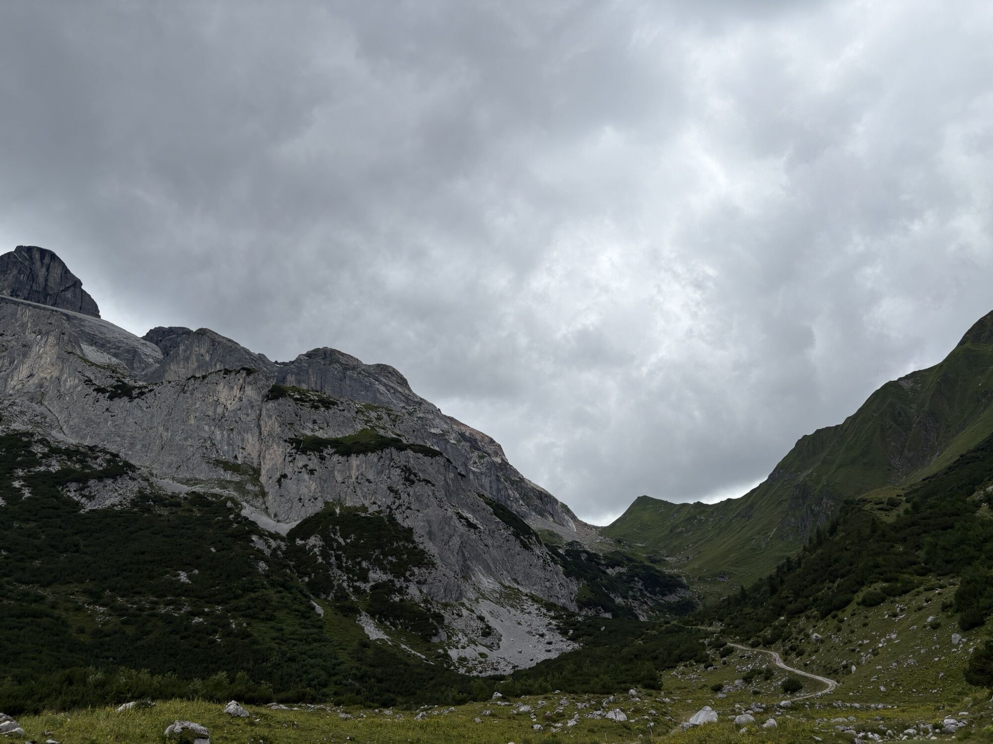

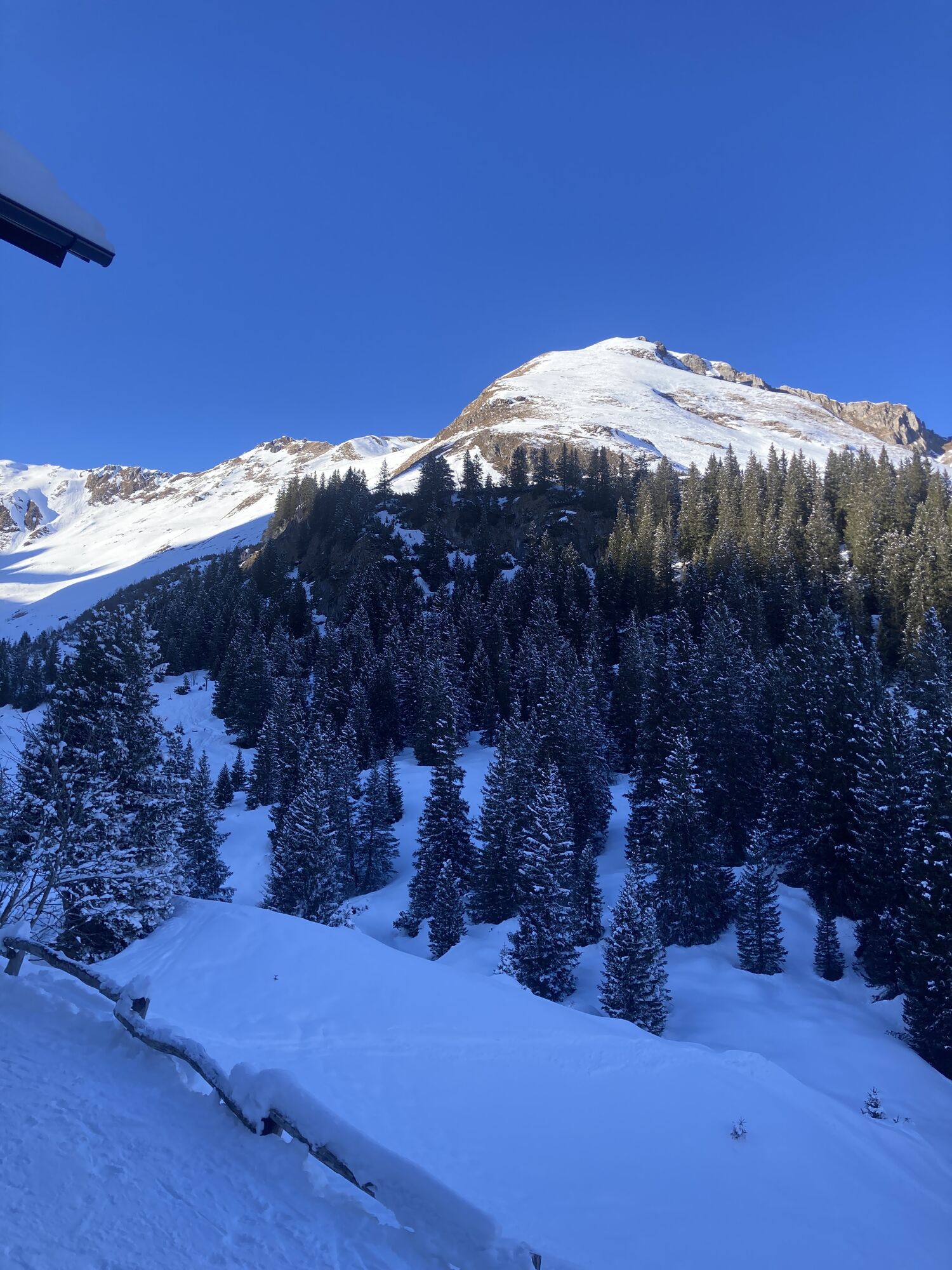
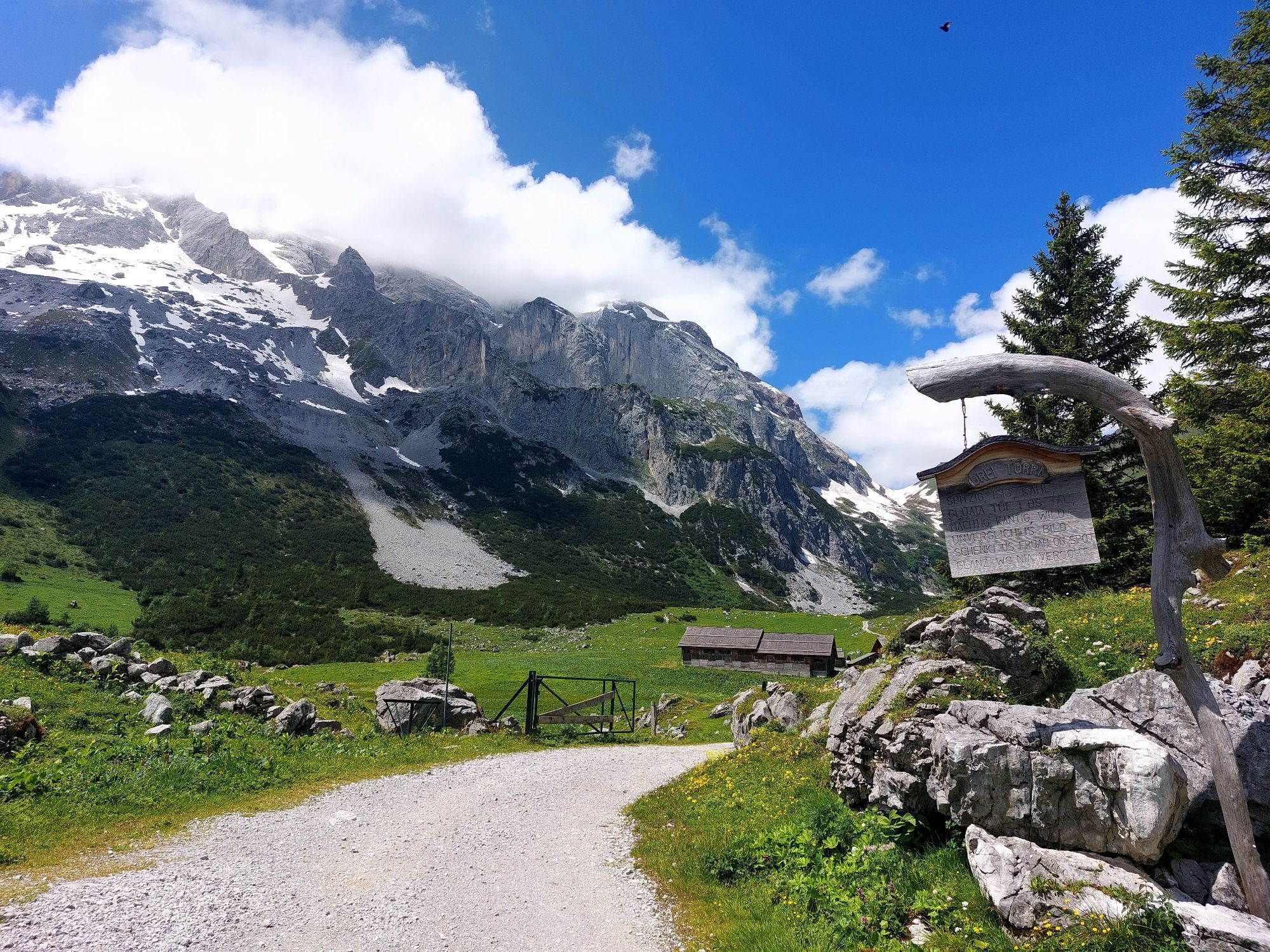
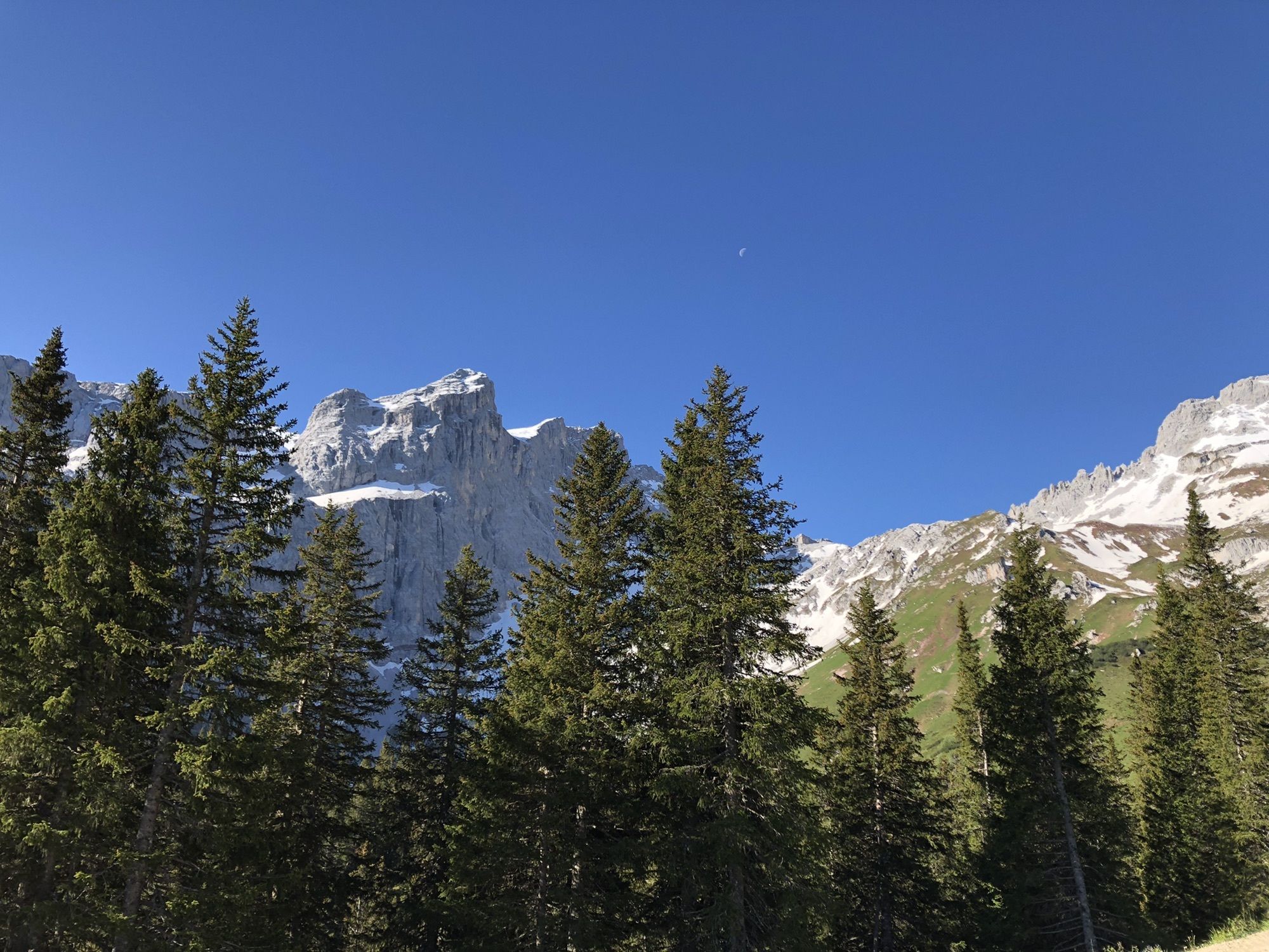
Originally established as an emergency descent for rescue operations, the via ferrata now presents itself as a long and scenically impressive alpine climbing route to one of the highest peaks of the Rätikon....
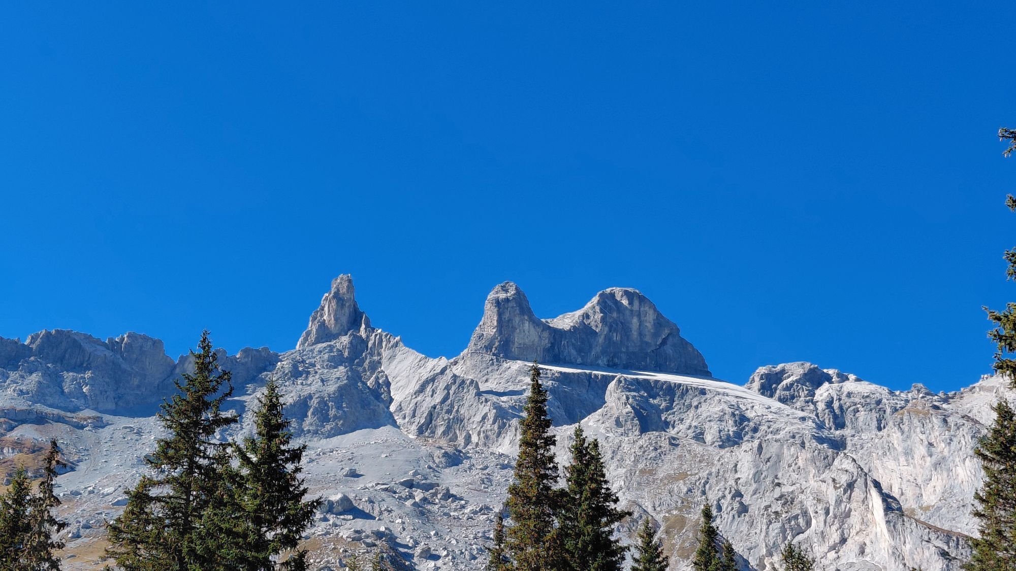
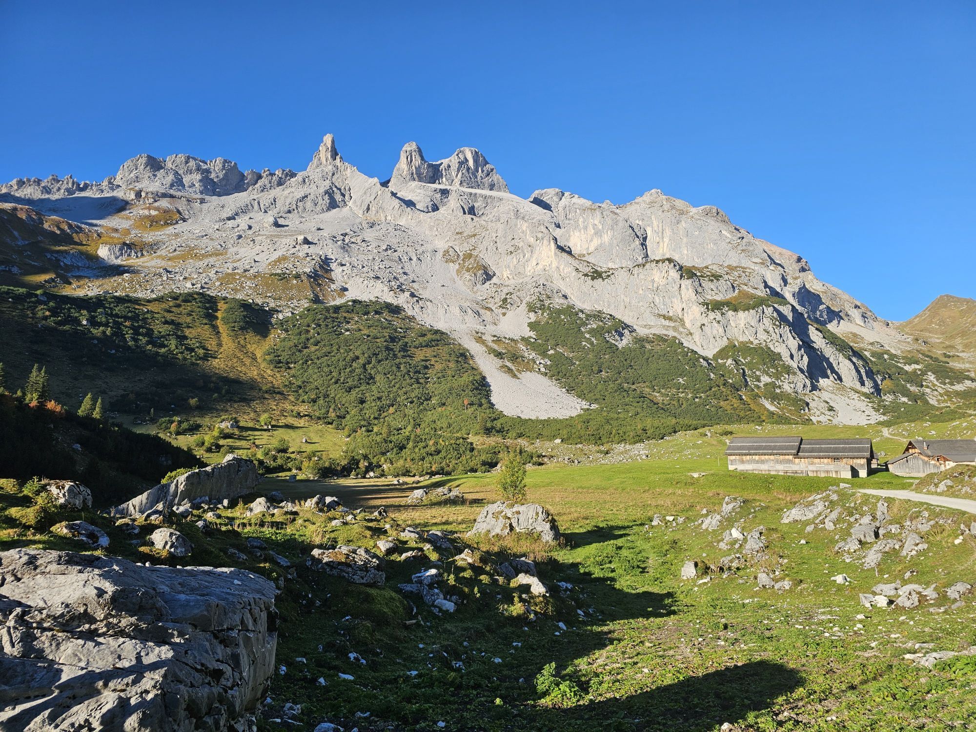
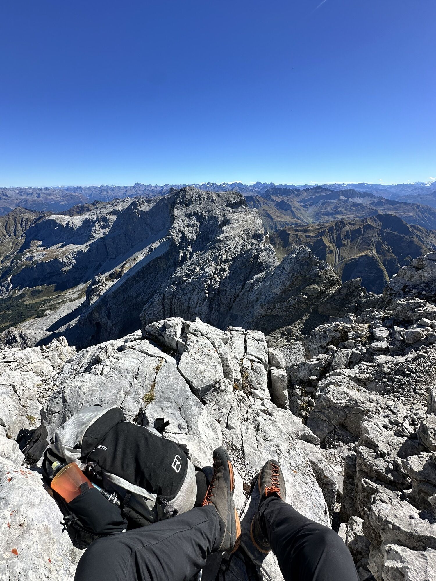
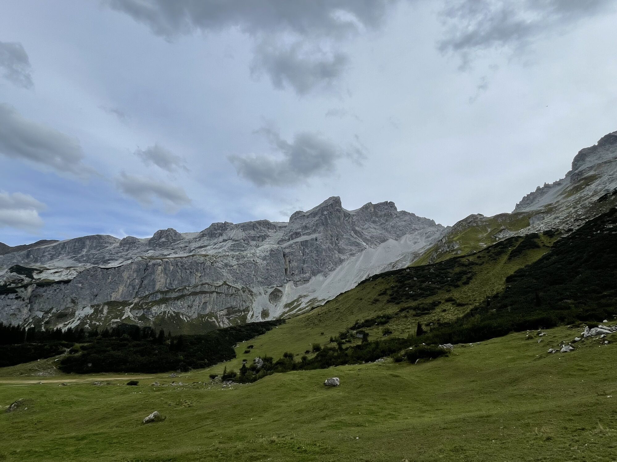
Originally established as an emergency descent for rescue operations, the via ferrata now presents itself as a long and scenically impressive alpine climbing route to one of the highest peaks of the Rätikon. Through the Blodig gully on the north side of the Drusenfluh, you have two via ferrata variants with different levels of difficulty to choose from. The wire cable sections are repeatedly interrupted by walking sections, making the route very varied and exciting.
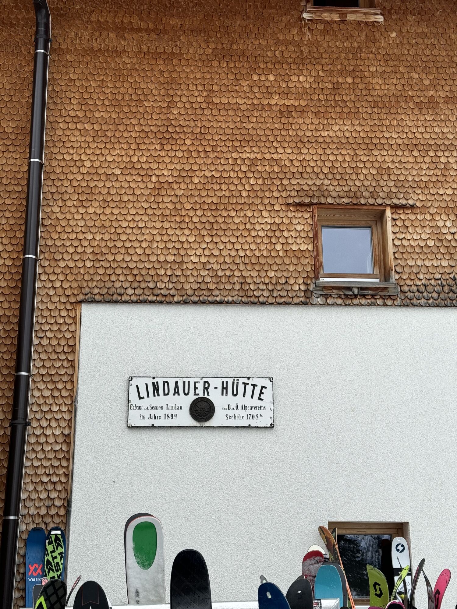
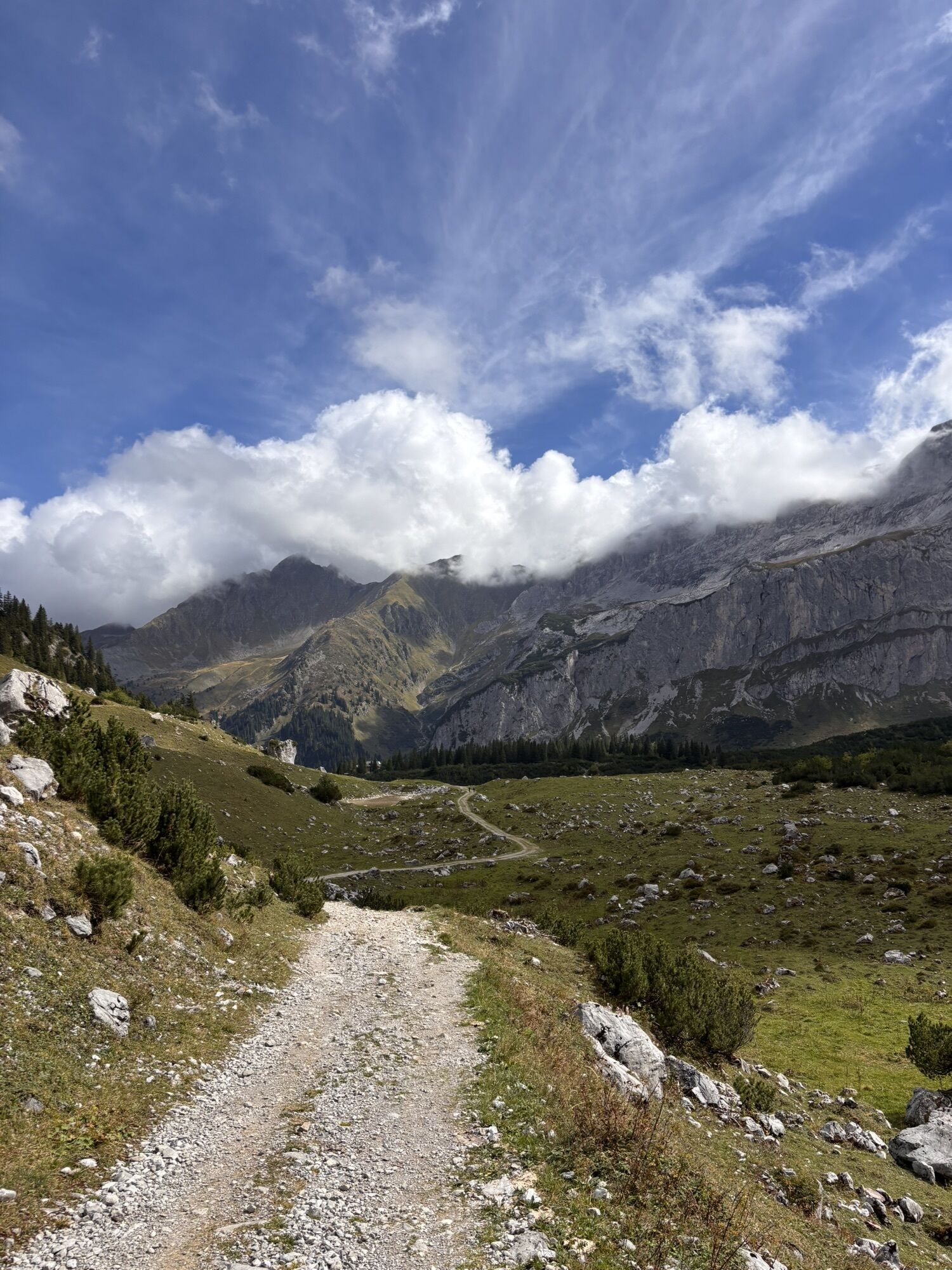
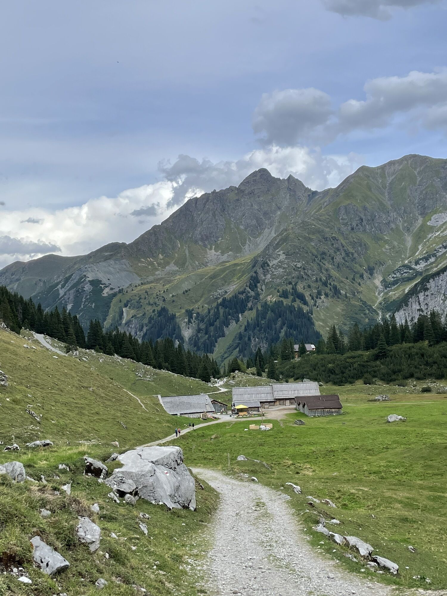
Ascent: From the Lindauer Hut, you climb the hiking path towards Öfapass. At about 2,080 meters elevation (signpost), the access path to the start at the foot of the impressive gorge branches off to the left.
Descent: The descent is again via the via ferrata back and on the same path back to the Lindauer Hut.

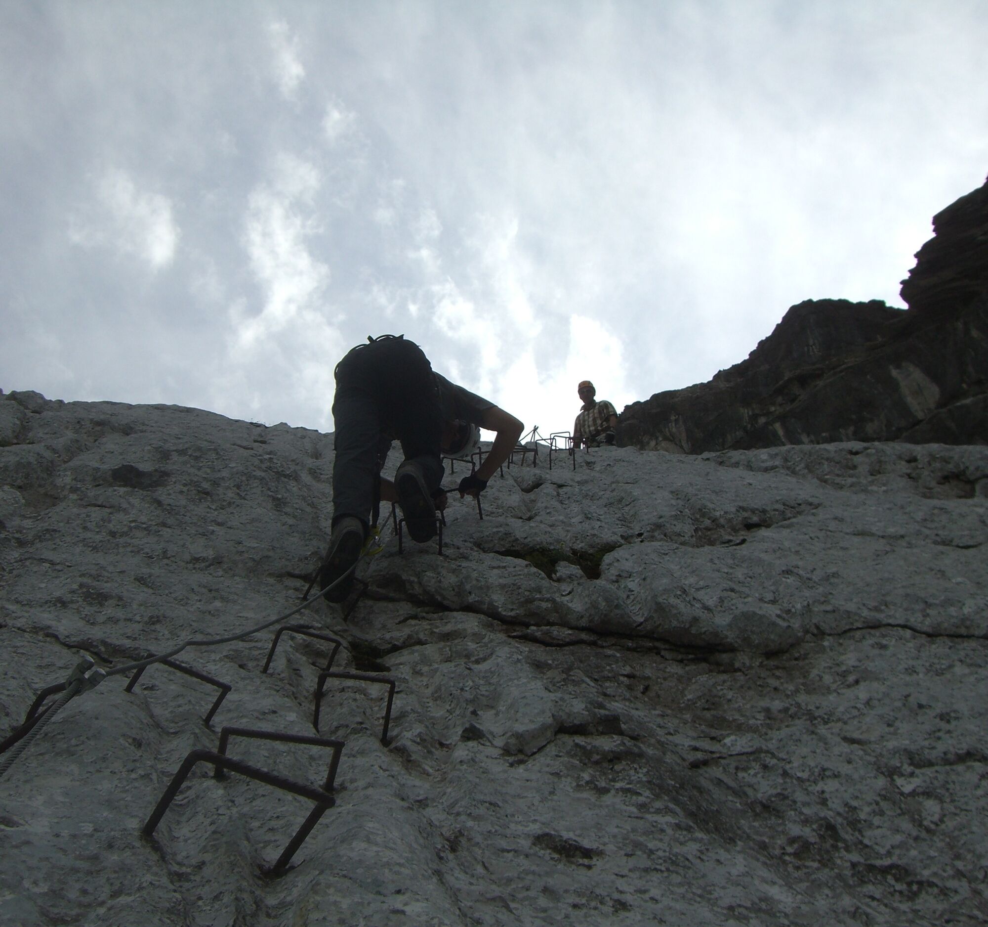
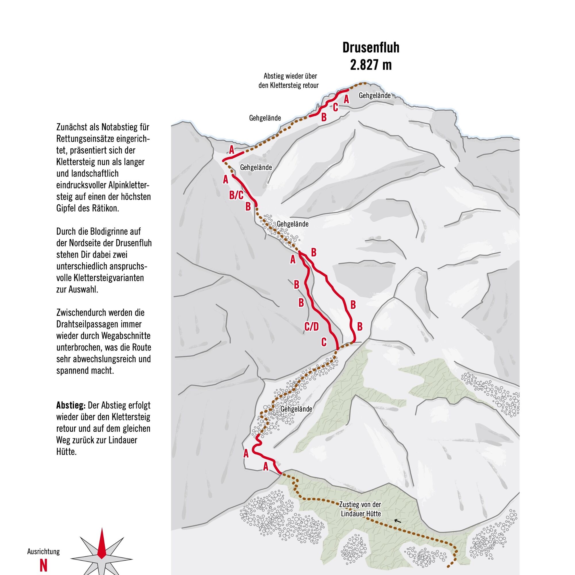
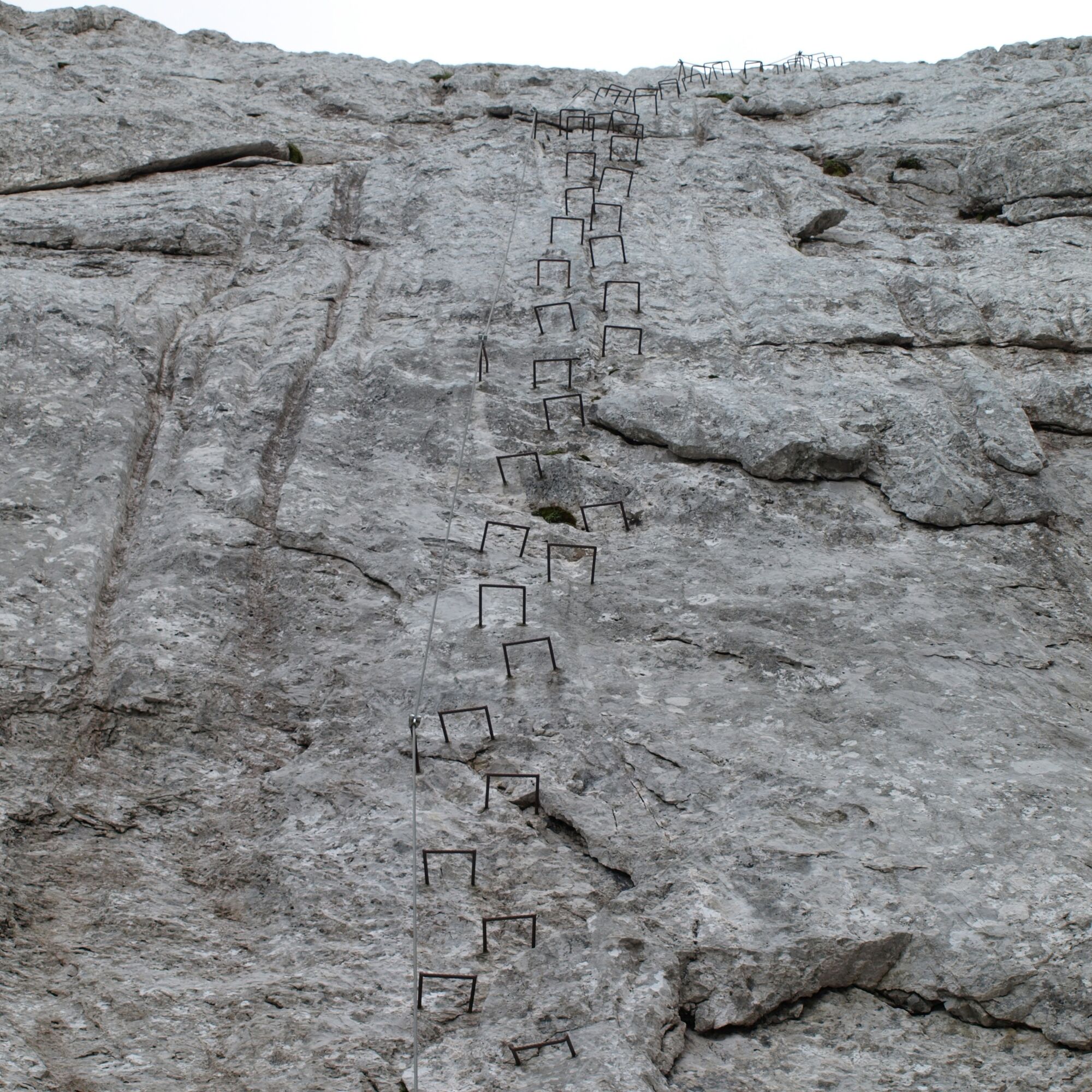
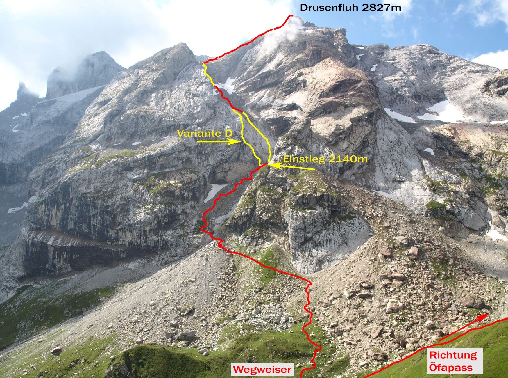
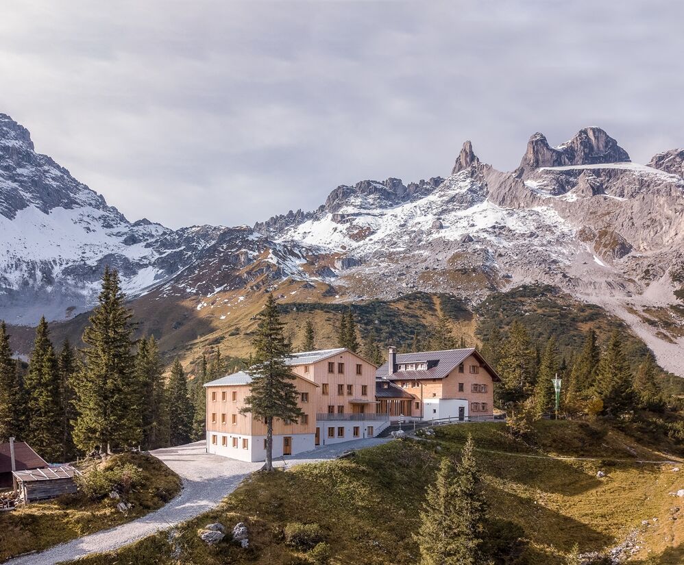

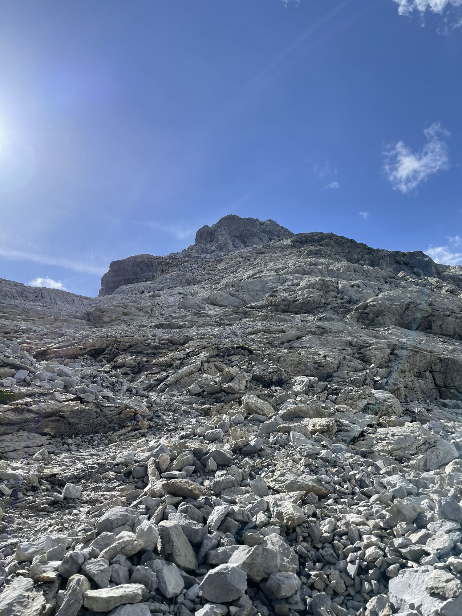
In the lower part, there is a difficult entry variant (D). Just below the summit, about 40 m must be climbed at difficulty grade II without a steel cable. Climbing in an impressive alpine environment. The ascent takes place mostly on solid and rough Rätikon limestone. You can find details on the topo.
The descent is again via the via ferrata back and returns on the same path to the Lindauer Hut.
Áno
Áno
Complete climbing equipment (harness including via ferrata set, helmet, and gloves) as well as proper footwear (sturdy ankle-high mountain boots with a good profile) are absolutely necessary.
You should also always carry a backpack with provisions, sun or rain protection, and a first aid kit.
Via ferrata sets rental
EMERGENCY CALL: 144
European emergency call: 112 (works with any mobile phone/network)
www.vorarlberg.travel/sicherheitstipps
Take the A14 to the Bludenz/Montafon exit, then follow Montafonerstraße L188 to Tschagguns and continue to the hiking parking lot in Latschau.
Just leave your car standing
The regional buses run throughout Montafon. The main lines run every half hour from Schruns station.
Bus stop at the start/finish of the route: Latschau Golmerbahn/ Line 601 (walk to/from Lindauer Hut)
Timetable: www.vmobil.at
Arrival by train to Montafon
From Bludenz station, the Montafonerbahn runs hourly (partly half-hourly). There are also direct connections from Lindau (D) and from Bregenz.
Timetable: www.oebb.at
Hiking parking lot Latschau (paid)
C/D
Karl Blodig and Eugen Sohm succeeded in the second ascent in 1888. At the summit, they found the stone with the initials of Christian Zudrell, C Z 70. Previously, this first ascent had been strongly doubted among mountaineering circles. On the day of his return, Blodig sent a card to Zudrell, simply inscribed with "C Z 70." The Montafon mountain guide replied just as briefly with "Congratulations on the Drusenfluh."
The route is very tricky in snowy conditions and old snow remnants. As long as old snow lies on the rock ledges and slabs of the north face above the Blodig gully, the easier right variant is absolutely discouraged.
Generally applies: a route for via ferrata climbers with alpine experience!

Webové kamery z prehliadky



Obľúbené výlety v okolí
-
4,7
Douglashütte - Schesaplana
strednáTuristika 7,31 km -
5,0
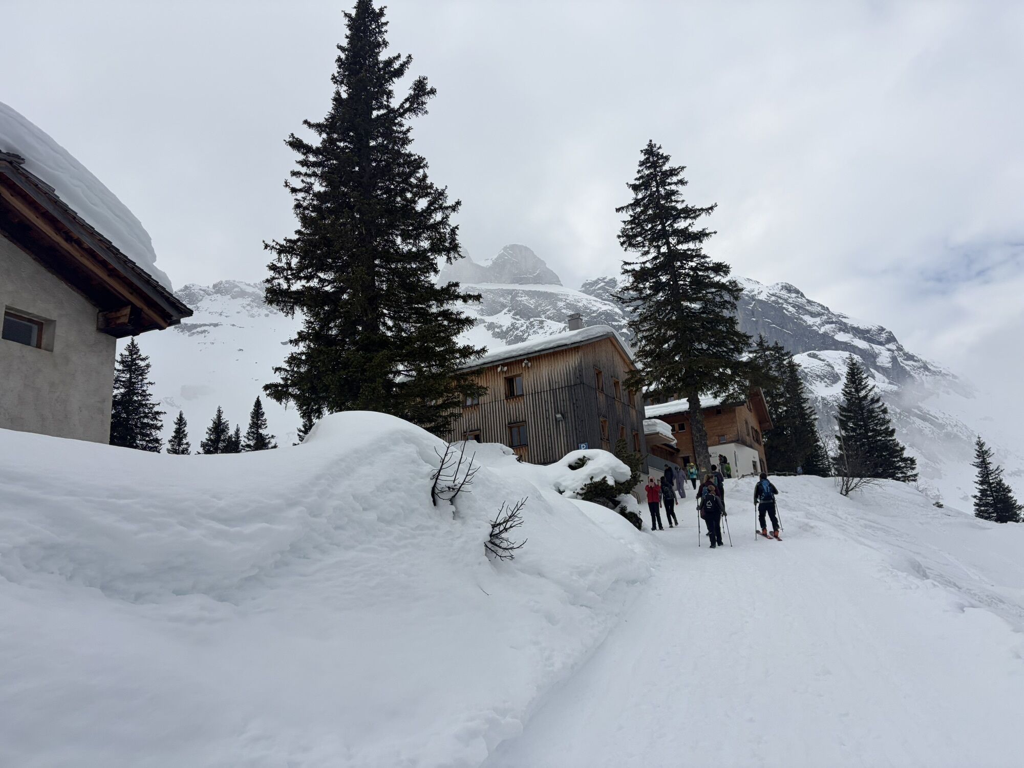
Ski tour to the Lindauer Hut (1,744 m)
svetloSkitour 14,0 km -
4,7
Smuggler’s path
strednáTematická trasa 8,60 km -
4,5
Golmer Lakes Trail
strednáTematická trasa 7,28 km -
4,6
Over the historic mine and Fritzensee to Rellseck
strednáTuristika 7,25 km -
4,9
Bürs, Bürserschlucht Bürs, Vorarlberg
strednáTuristika 5,31 km -
4,3
Mondspitze (Montspitze)
strednáTuristika 7,97 km -
4,3
Golmerbahn Bergstaion Grüneck - Golmer Höhenweg - Geißspitze - Lindauer Hütte - Latschau
strednáTuristika 11,5 km -
4,8
Douglasshütte, Lünersee, Gafalljoch Brand bei Bludenz, Vorarlberg
svetloTuristika 9,16 km -
4,9
Sulzfluh via ferrata, St. Antönien
ťažkéVia ferrata 11,3 km
Turistika a stopovanie


Nenechajte si ujsť ponuky a inšpiráciu na ďalšiu dovolenku
Vaša e-mailová adresa bol pridaný do poštového zoznamu.





