







Via ferrata Waterfall St. Anton im Montafon
Úroveň náročnosti: C/D
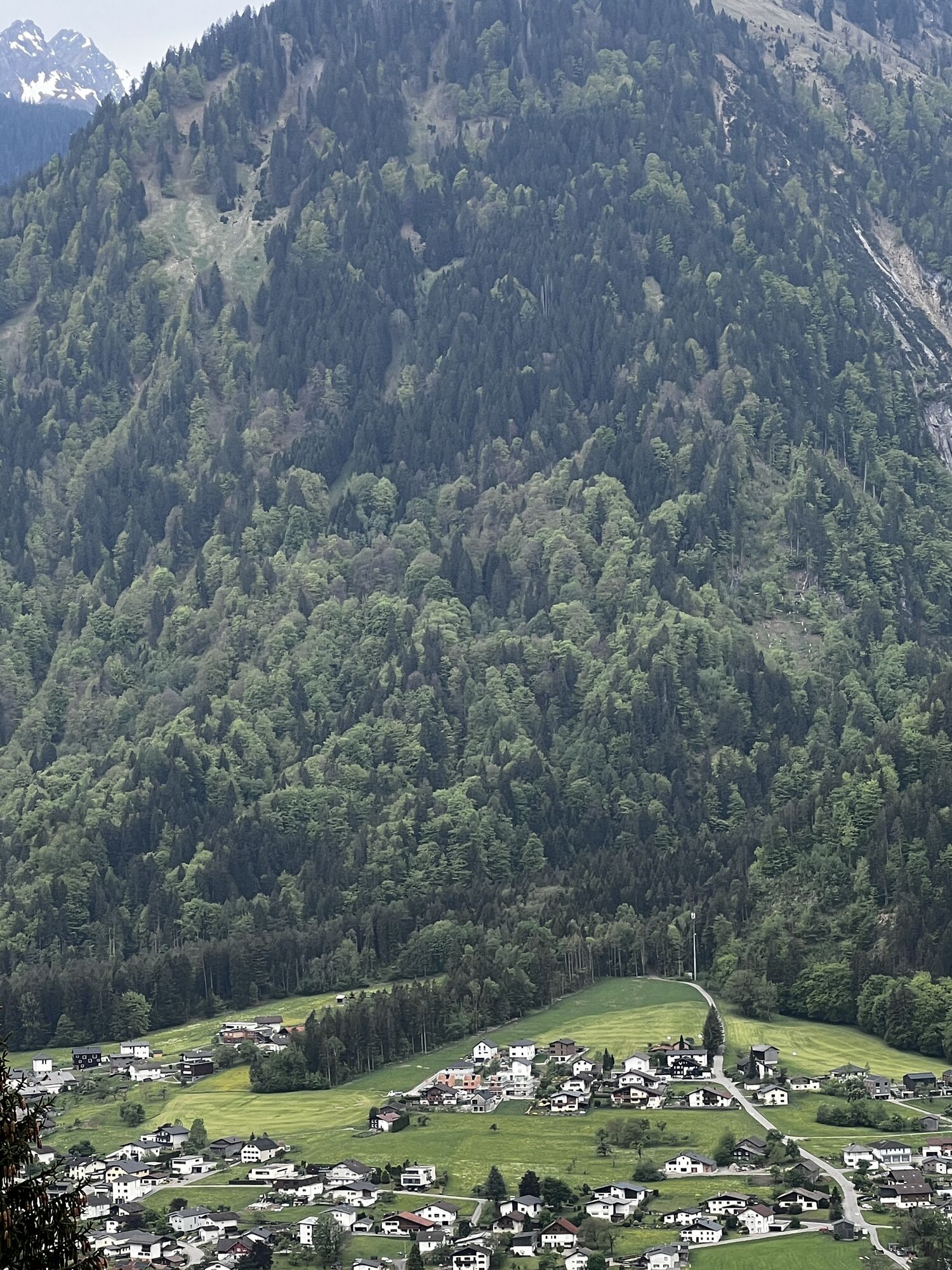
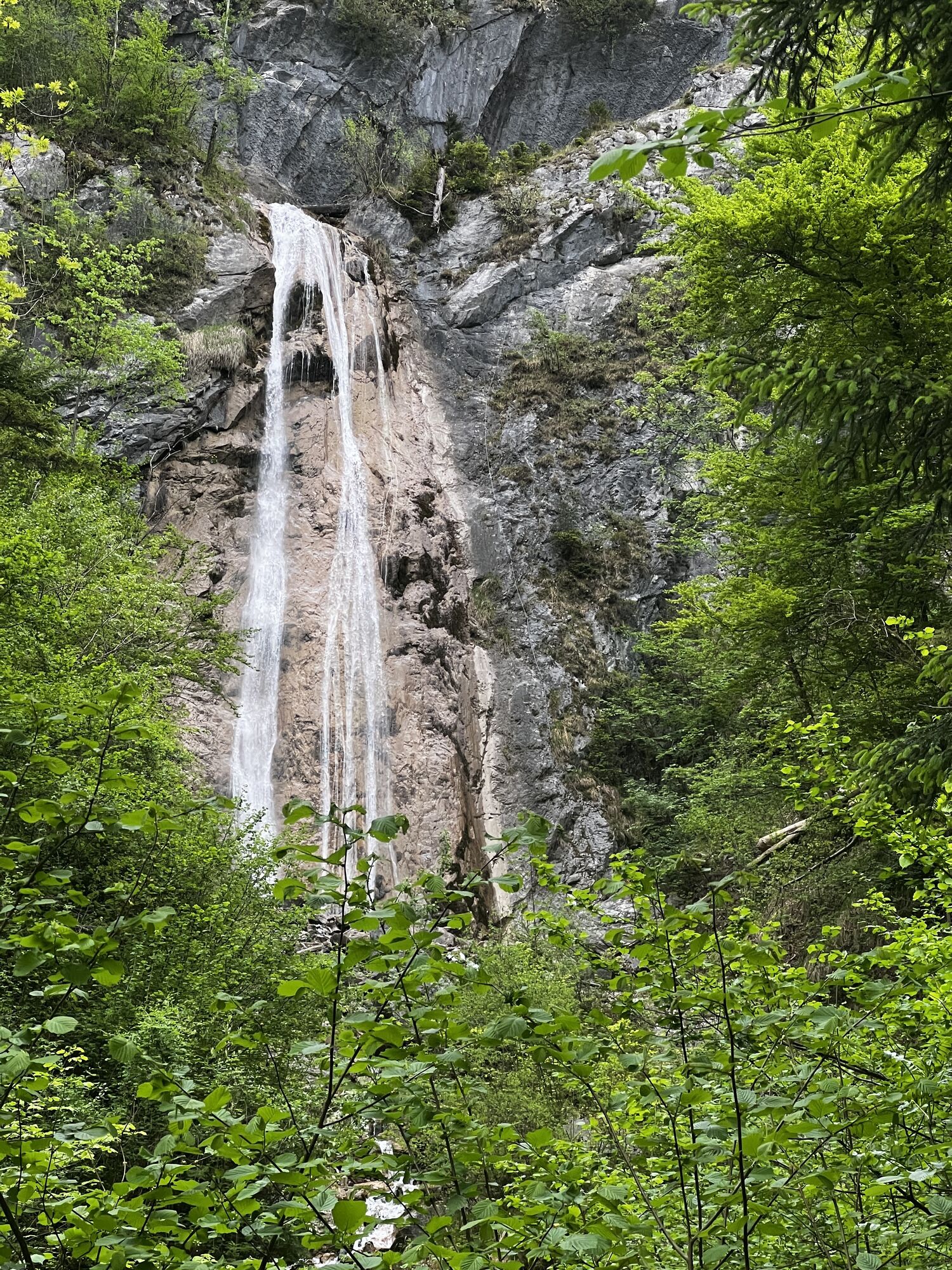
The via ferrata directly above the village of St. Anton im Montafon is a three-season destination due to its easy accessibility. After the first few meters in the forest, a ladder leads you right next...
The via ferrata directly above the village of St. Anton im Montafon is a three-season destination due to its easy accessibility. After the first few meters in the forest, a ladder leads you right next to the roaring waterfall upwards. A flat section along the ridge is followed by a slightly overhanging wall, which is the actual key point of the route (C/D). Two cable bridges – which can also be bypassed – offer you a particularly spectacular view of the raging water.
Approach: You follow the hiking trail through the village to the waterfall (signposted “via ferrata”); the entrance is directly at the viewpoint.
Descent: The descent is either directly back to the starting point or via the Marentes-Jetzmunt hiking trail to Vandans train station and back along the Ill river to St. Anton im Montafon.

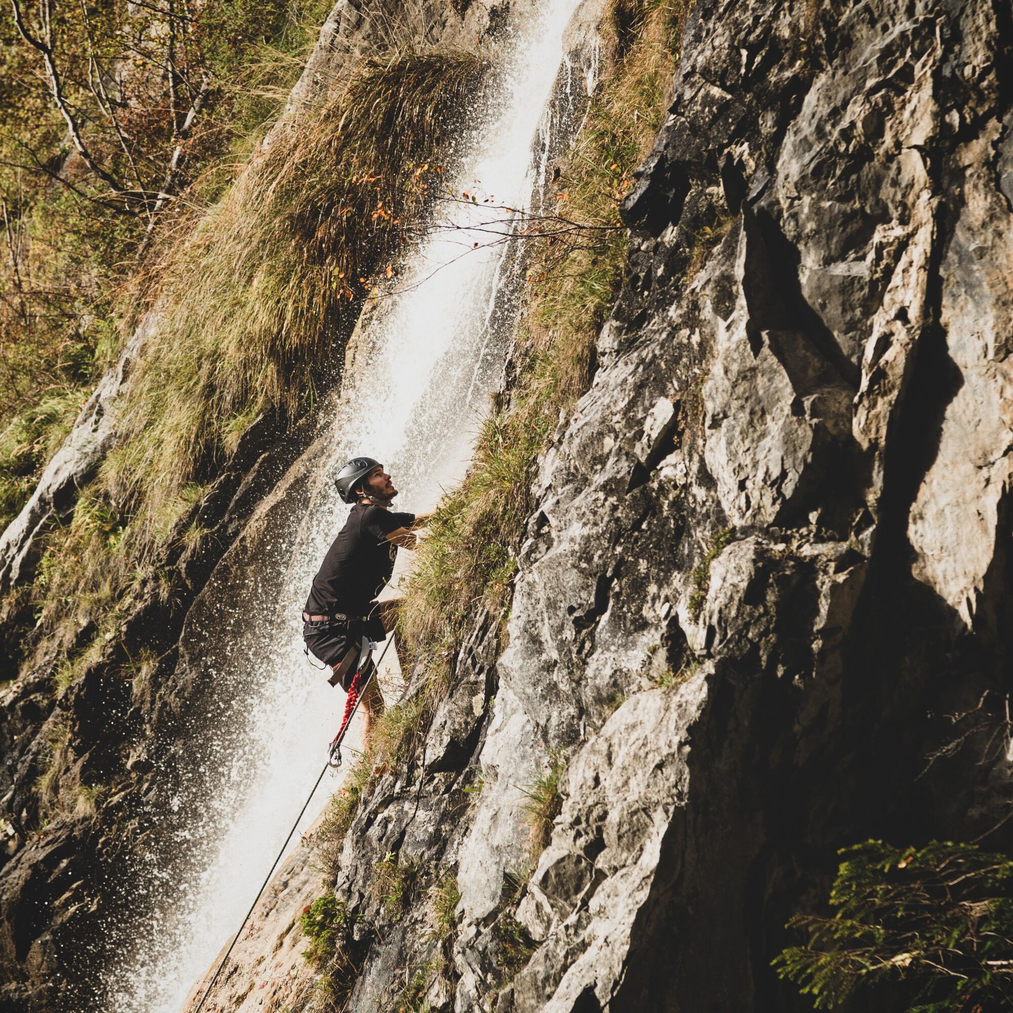
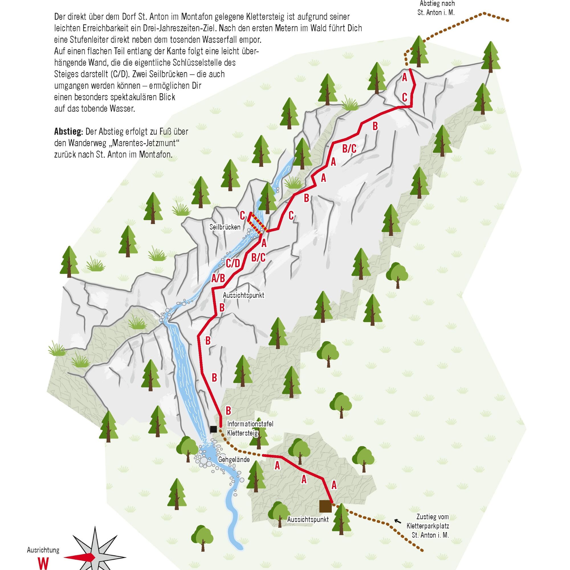

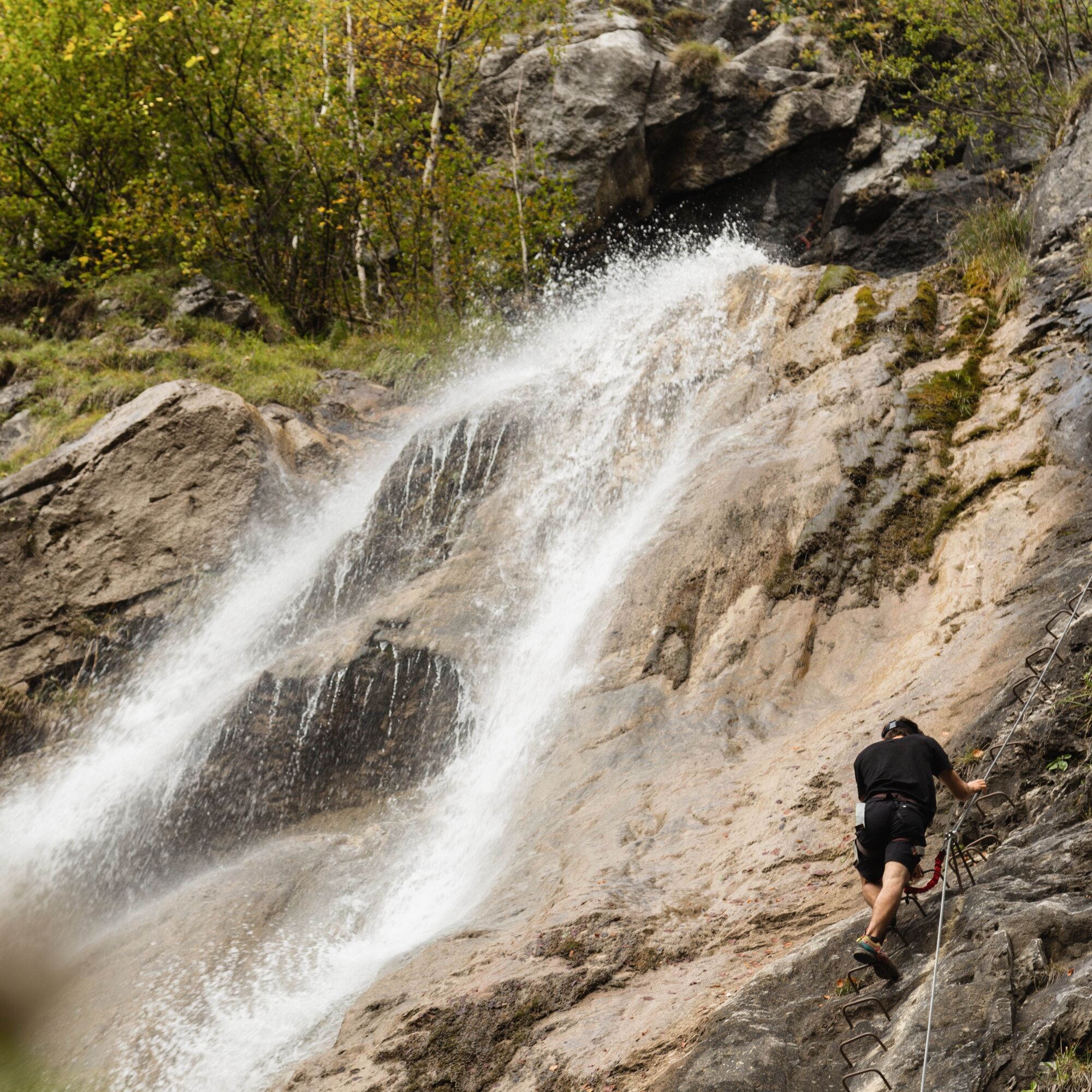
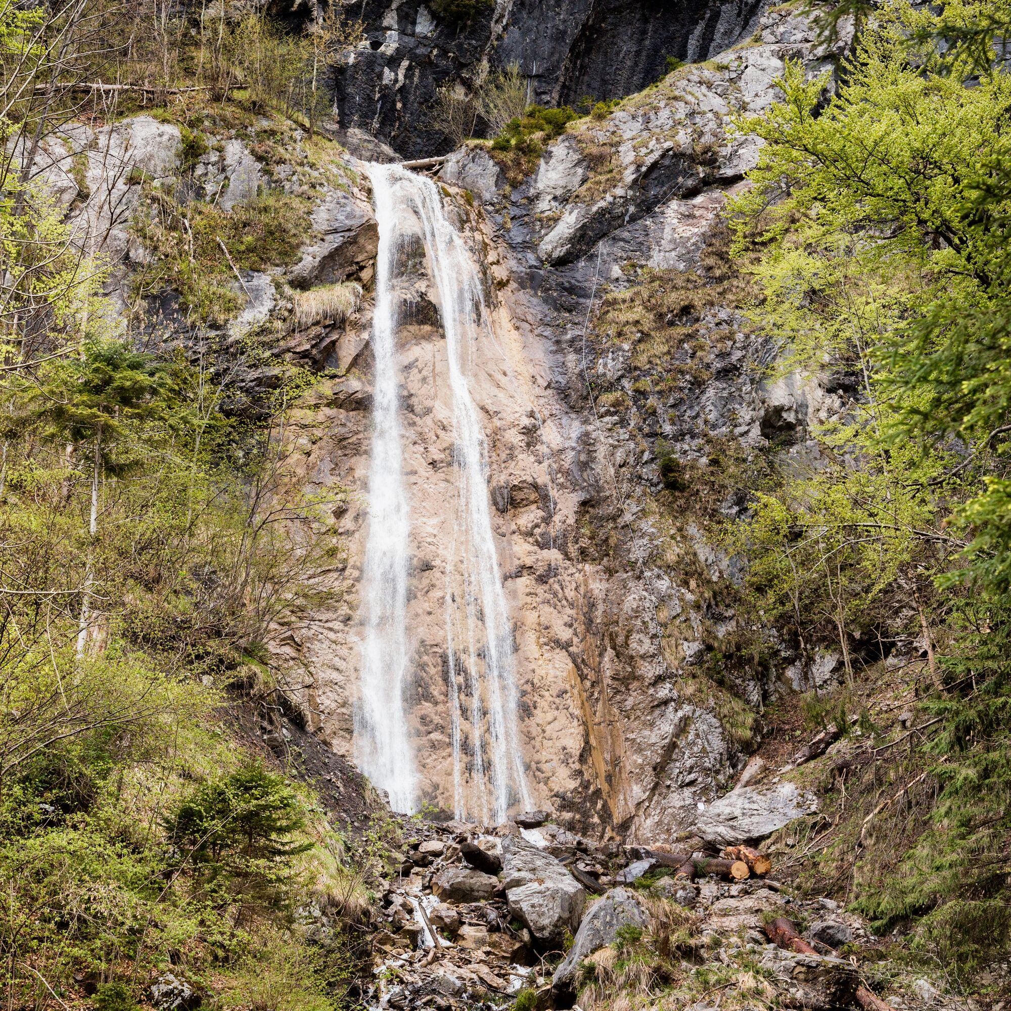

The starting point is the climbing parking lot (near the community center). From there, you follow the signpost to the waterfall. The entrance is located directly at the waterfall on the right side.
At the beginning, you climb up parallel to the waterfall, then continue up along the ridge. The difficulty level increases towards the top, so you should be confident, as there is no emergency exit.
The descent is either directly back to the starting point or via the Marentes-Jetzmunt hiking trail to Vandans train station and back along the Ill river to St. Anton im Montafon.
Complete climbing equipment (harness including via ferrata set, helmet, and gloves) as well as proper footwear (sturdy ankle-high mountain boots with good tread) are absolutely necessary.
You should also always carry a backpack with provisions, sun and rain protection, and a first aid kit.
Via ferrata sets rental
EMERGENCY CALL: 144
Euro emergency call: 112 (works with any mobile phone/network)
www.vorarlberg.travel/sicherheitstipps
This via ferrata has NO emergency exit.
Take the A14 to the Bludenz/Montafon exit and continue on Montafonerstraße L188 to St. Anton im Montafon. Just past the community office, there is a parking lot on the left side before the train station on the right.
Just leave your car standing
The regional buses run throughout Montafon. The main lines run every half hour from Schruns train station.
From Schruns train station, you can take the S4/Montafonerbahn (train) to St. Anton im Montafon train station.
Timetable: www.vmobil.at
Arrival by train to Montafon
From Bludenz train station, the Montafonerbahn runs hourly (sometimes every half hour). There are also direct connections from Lindau (D) and Bregenz.
Timetable: www.oebb.at
Climbing parking lot St. Anton im Montafon
C/D
550 m of wire cable including cable bridges were used for the via ferrata, making it very well secured; however, it should be avoided when wet, as the descent is very steep (slippery).
This via ferrata is also available as a guided route with the Montafon mountain guides.


Webové kamery z prehliadky
Získajte prehľad
Vždy naživo na mieste s viac ako 9 500 webovými kamerami. bergfex Ako používateľ Pro si teraz môžete pozrieť príslušné webové kamery pre mnohé zájazdy v aplikácii zájazdy z. Môžete si tak priamo prezerať aktuálne podmienky.

Obľúbené výlety v okolí
-
4,8
Douglashütte - Schesaplana
strednáTuristika 7,31 km -
5,0
Ski tour to the Lindauer Hut (1,744 m)
svetloSkitour 14,0 km -
4,7
Kristberg - Wasserstubental - Silbertal
svetloTuristika 13,8 km -
5,0
Bürs, Bürserschlucht Bürs, Vorarlberg
strednáTuristika 5,31 km -
4,6
Over the historic mine and Fritzensee to Rellseck
strednáTuristika 7,25 km -
4,4
Golm-Rundwanderweg im Rätikon
strednáTematická trasa 7,28 km -
4,9
Douglasshütte, Lünersee, Gafalljoch Brand bei Bludenz, Vorarlberg
svetloTuristika 9,16 km -
4,3
Mondspitze (Montspitze)
strednáTuristika 7,97 km -
4,3
Golmerbahn Bergstaion Grüneck - Golmer Höhenweg - Geißspitze - Lindauer Hütte - Latschau
strednáTuristika 11,5 km -
4,9
Alpgues Runde
strednáTuristika 9,21 km

Turistika a stopovanie


Nenechajte si ujsť ponuky a inšpiráciu na ďalšiu dovolenku
Vaša e-mailová adresa bol pridaný do poštového zoznamu.





