


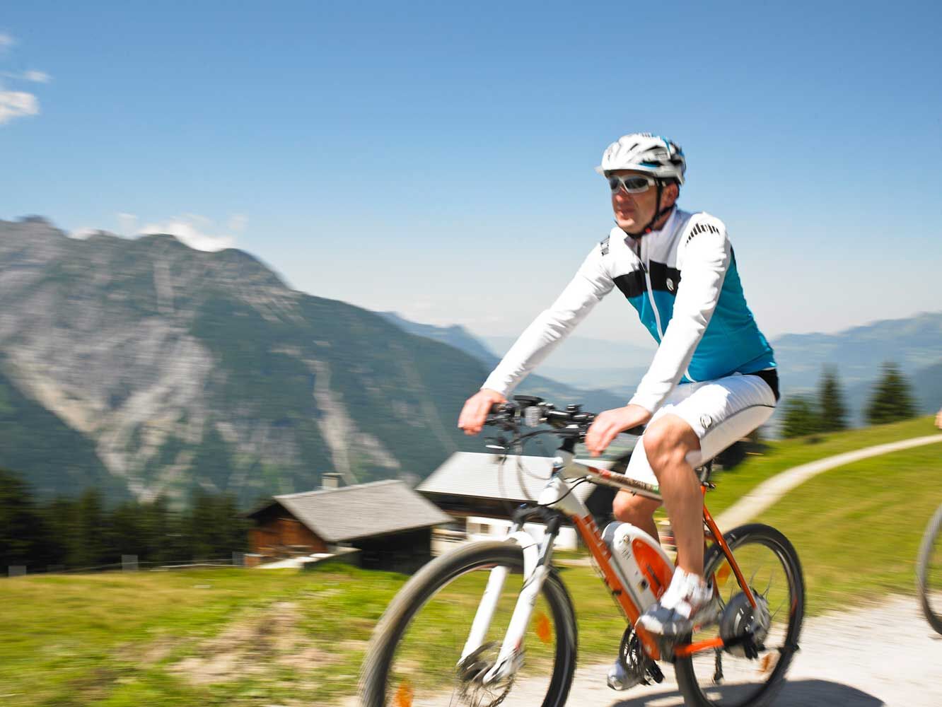
Bike & Hike Davenna
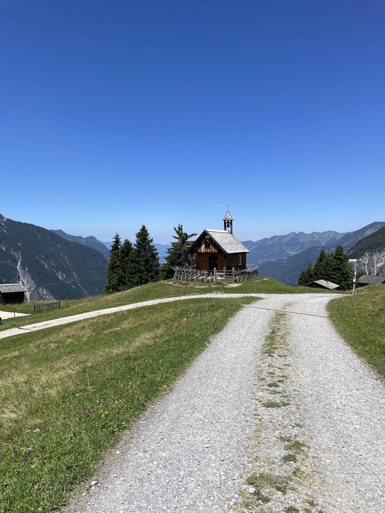

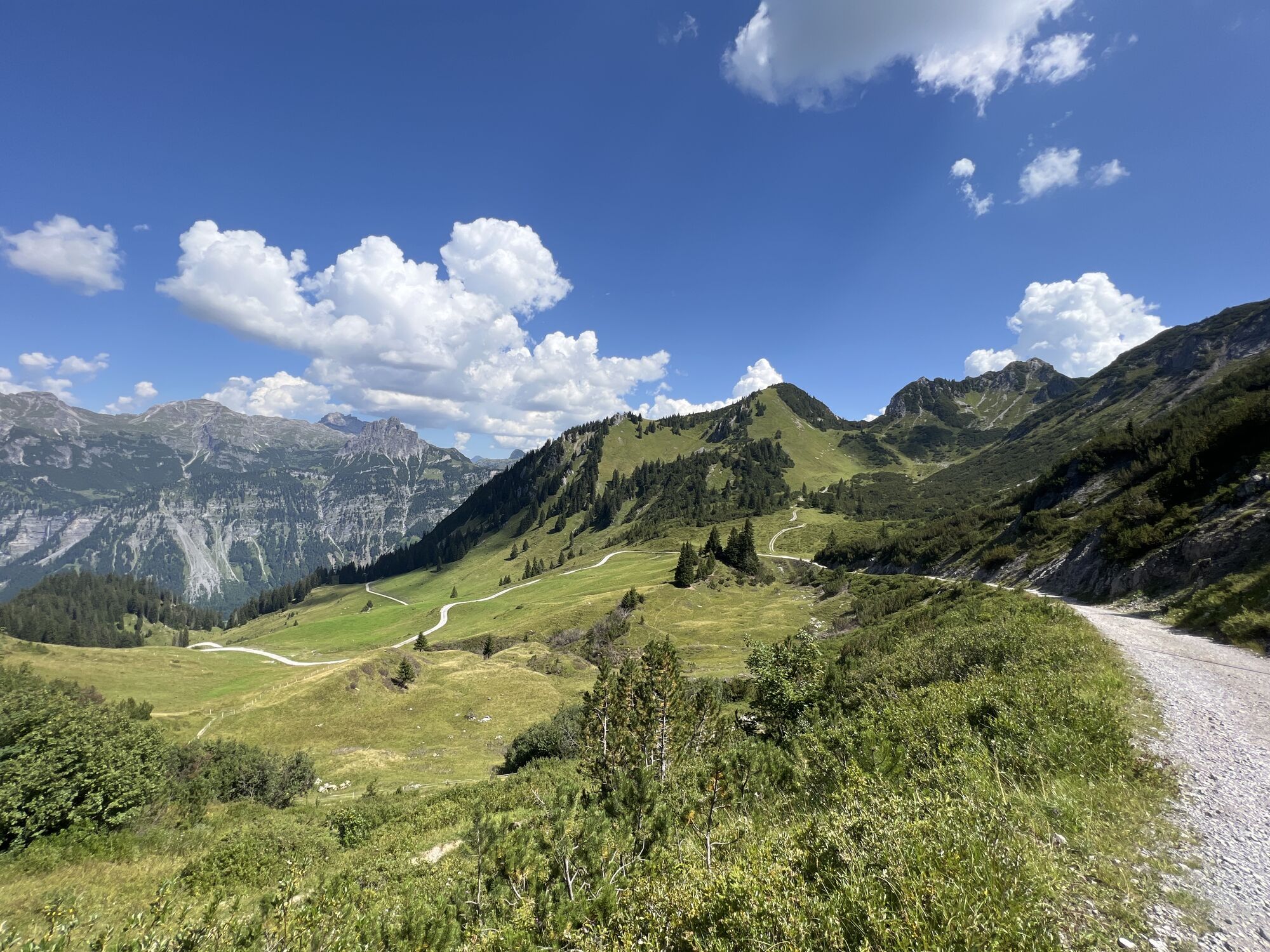
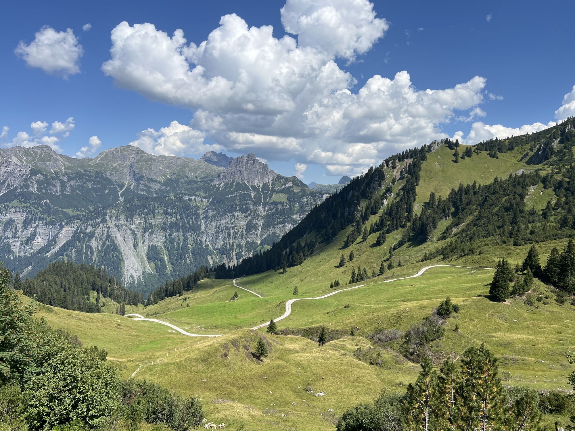
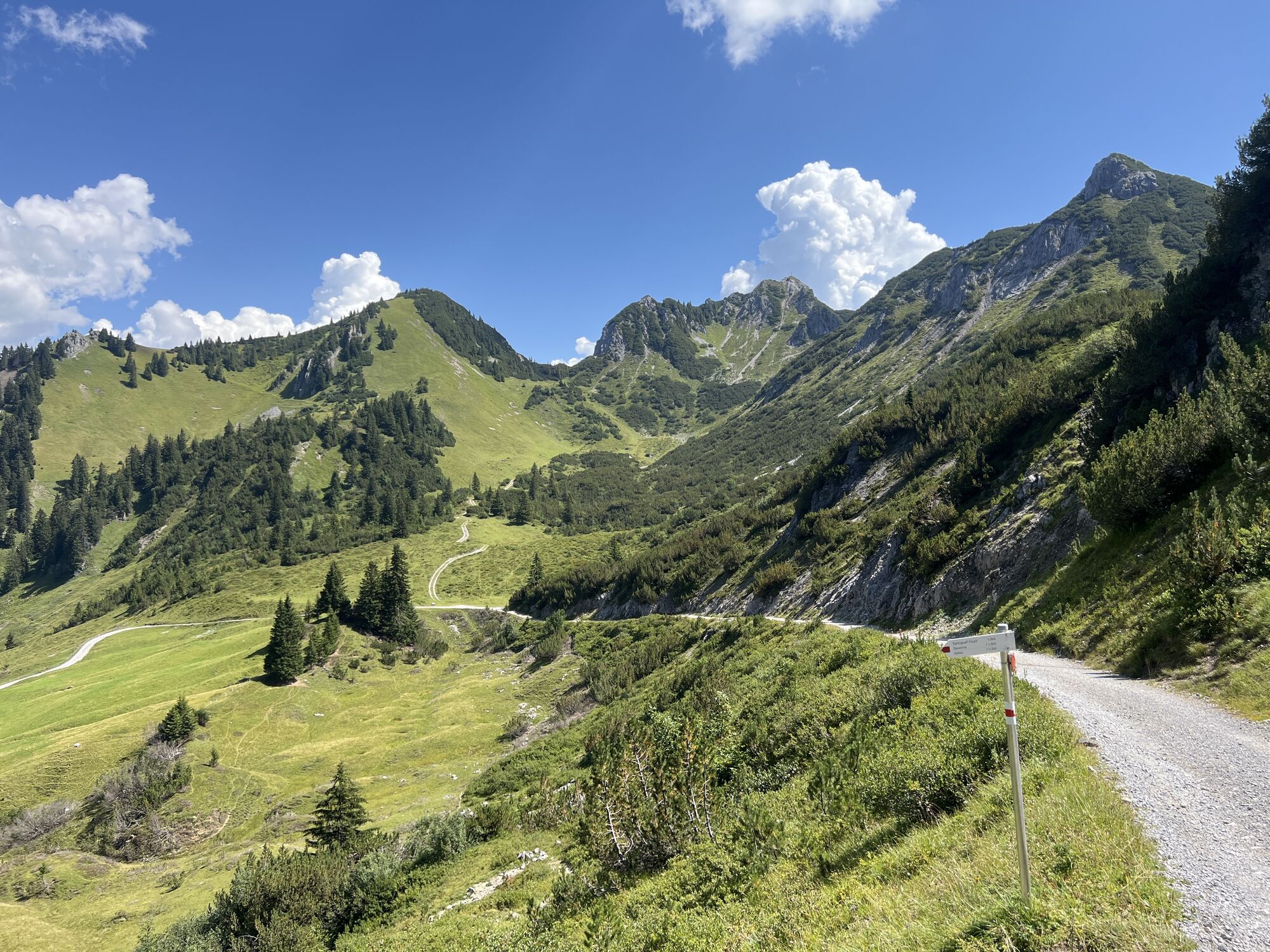
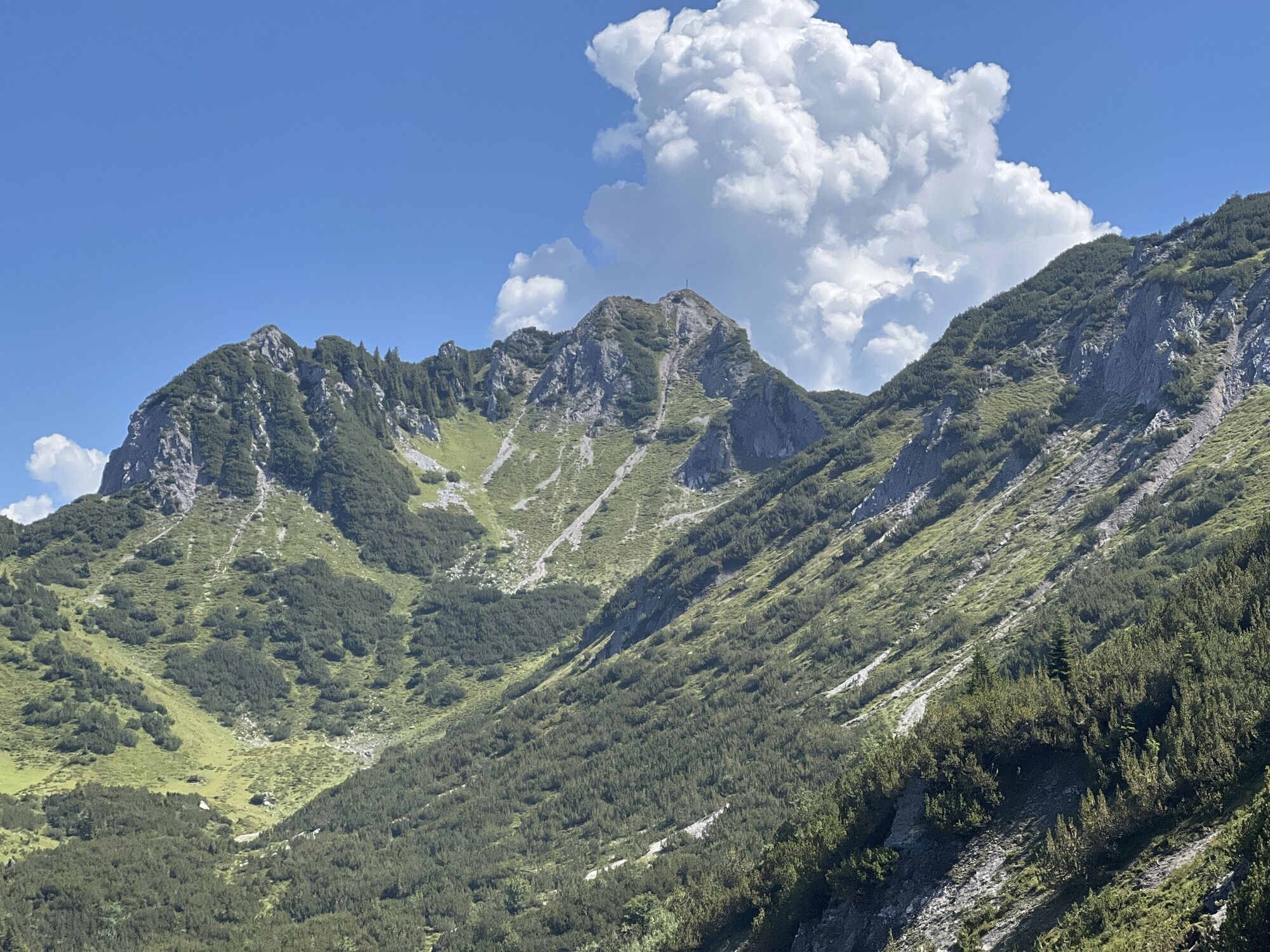
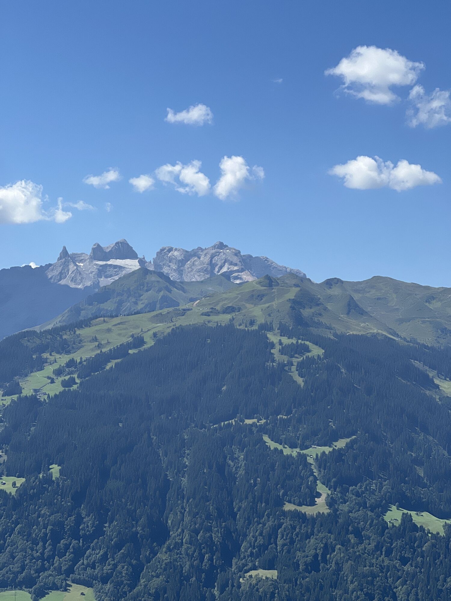
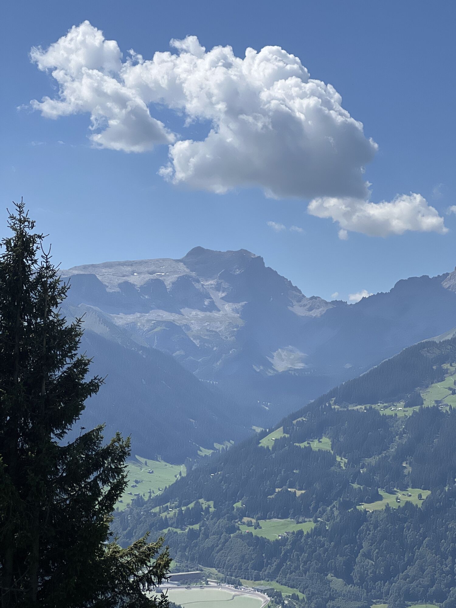
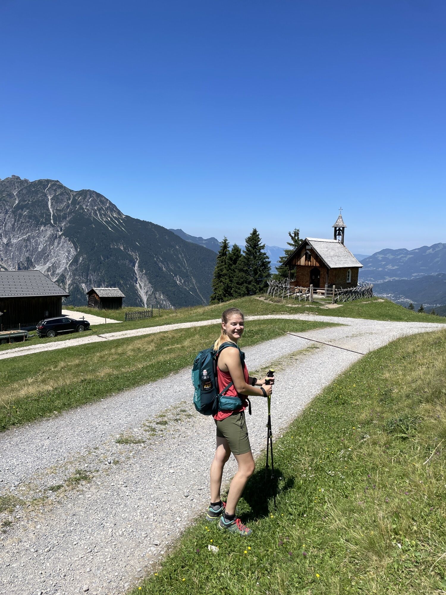
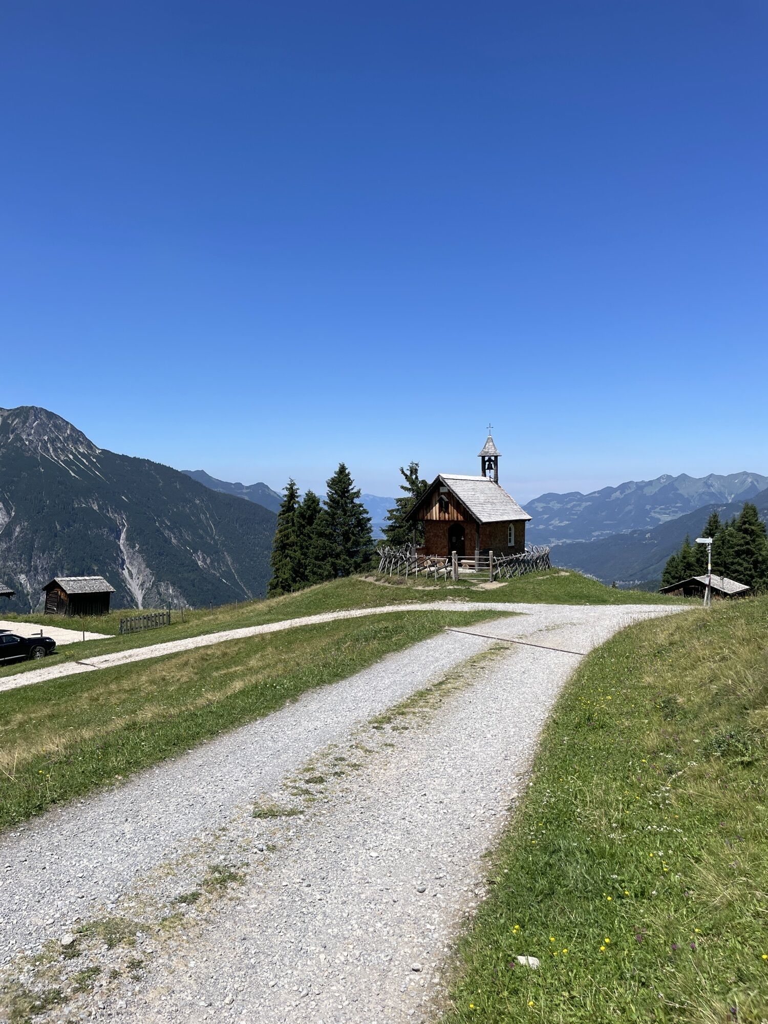
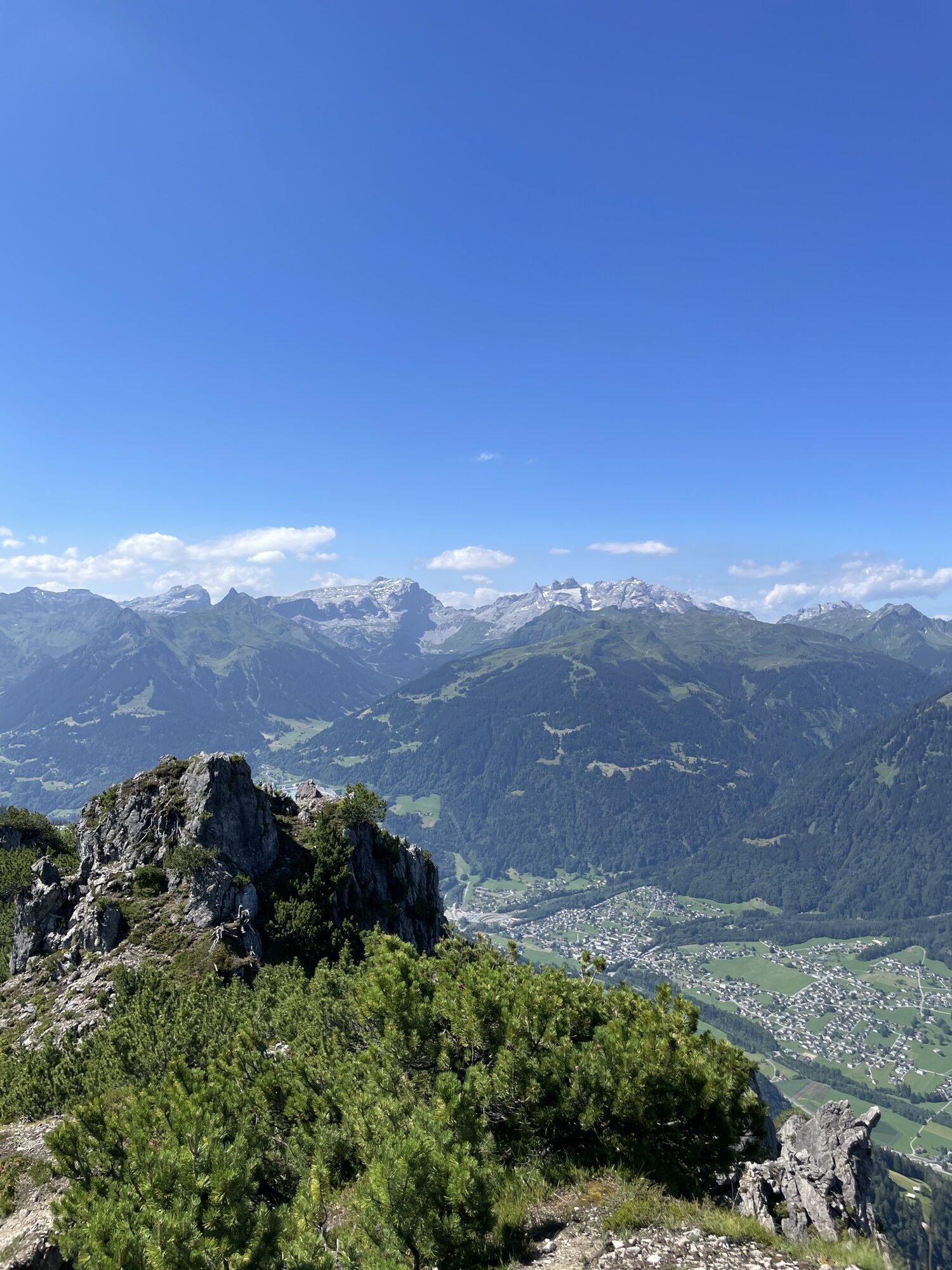
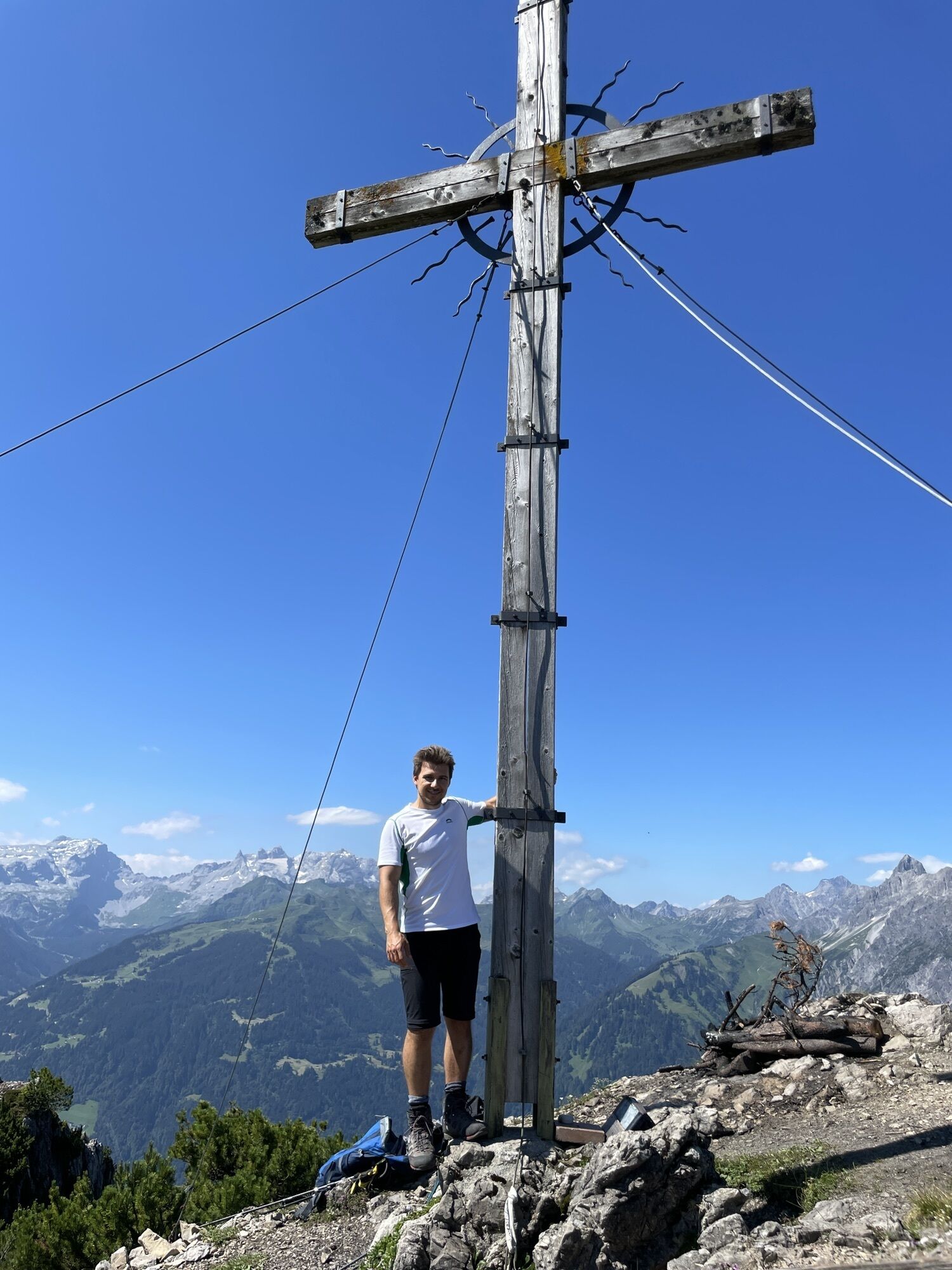
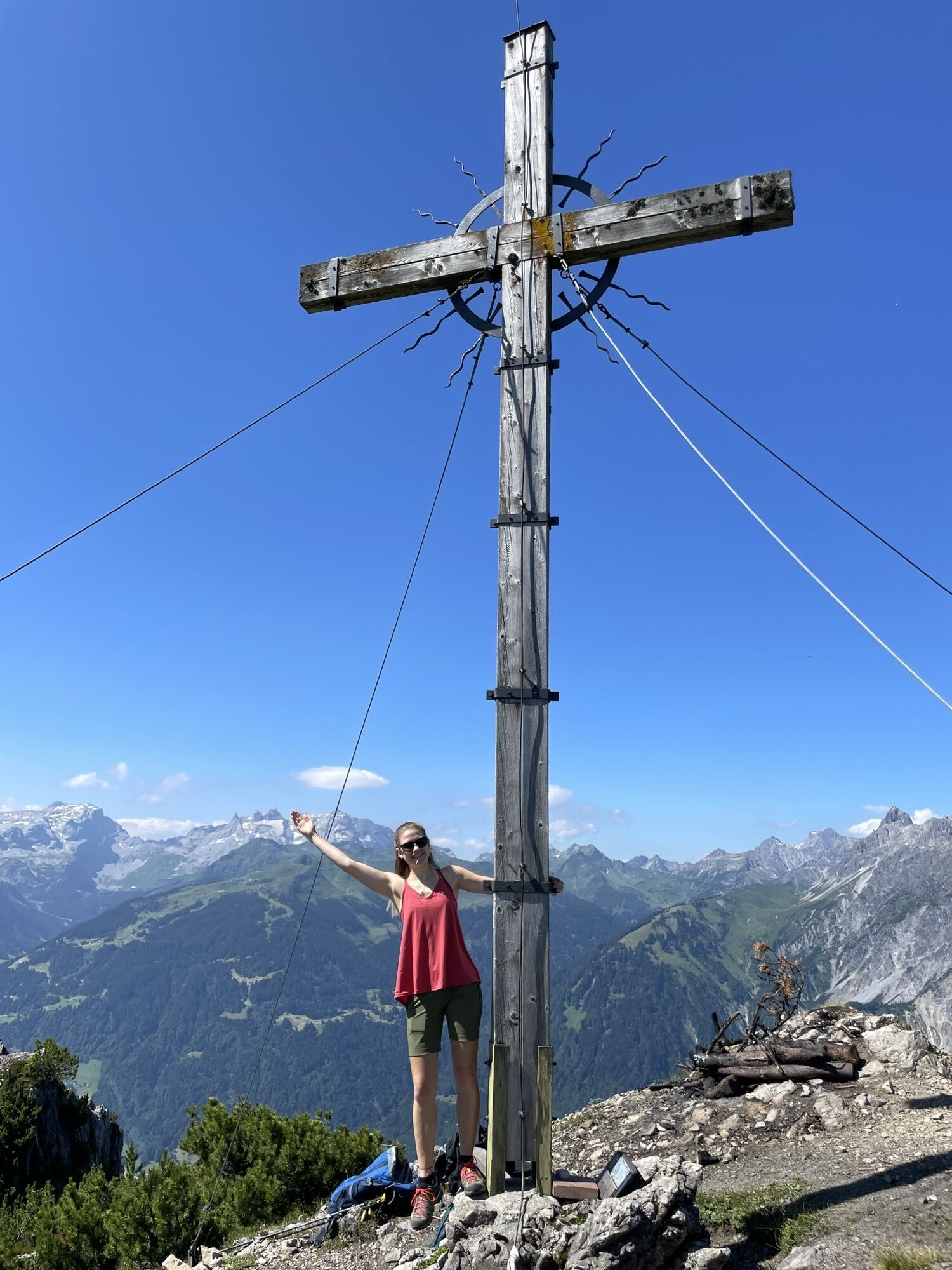
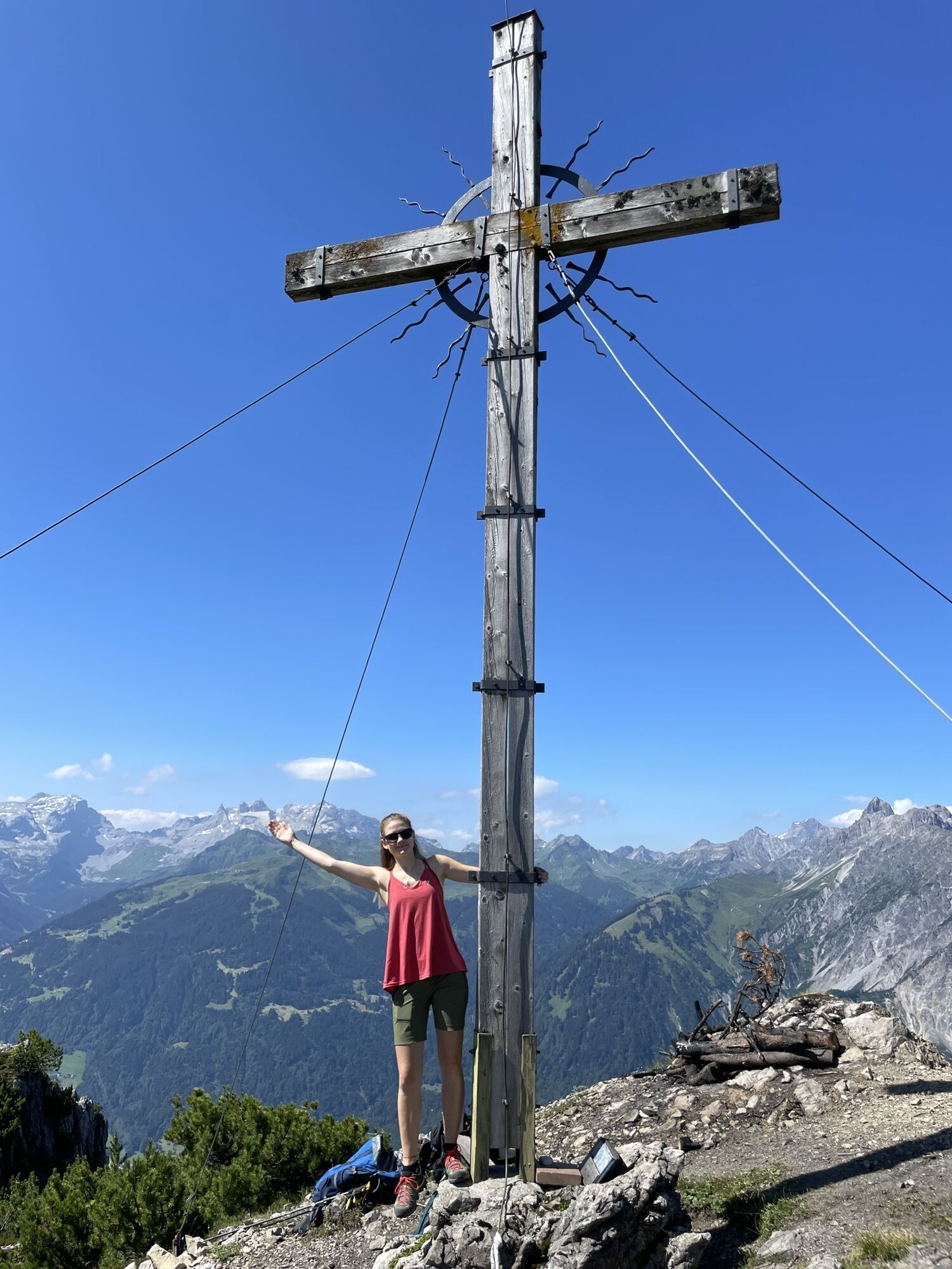
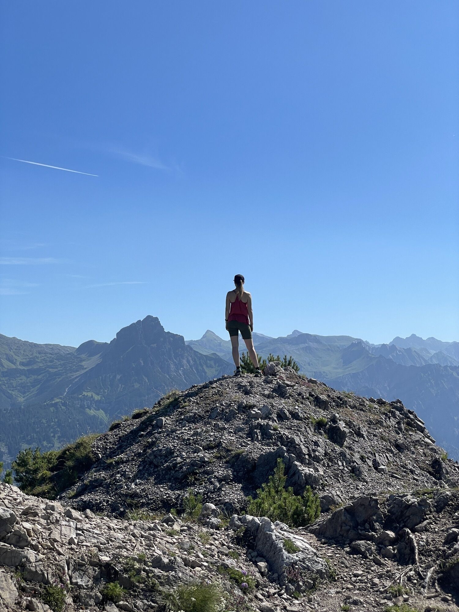
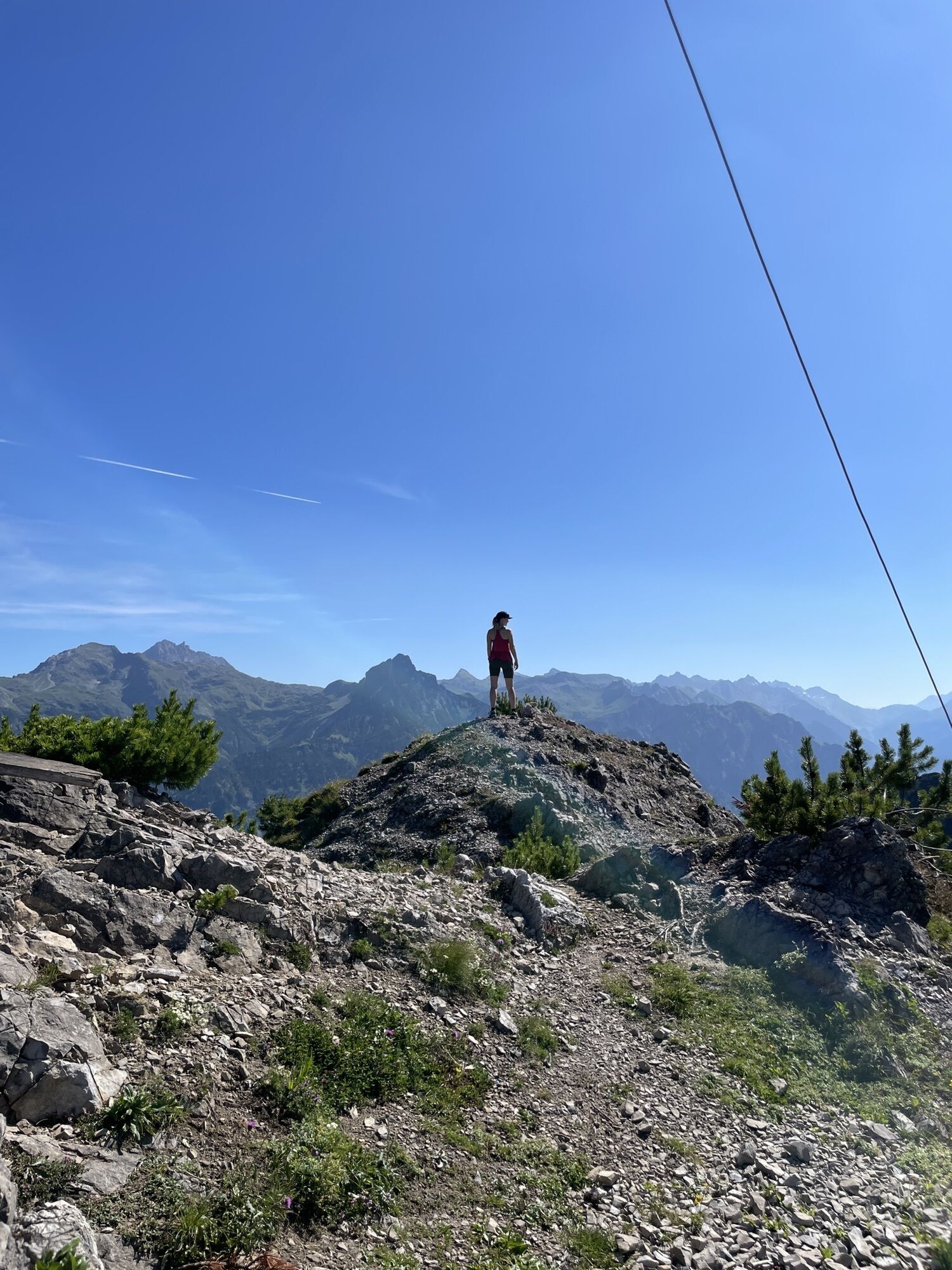
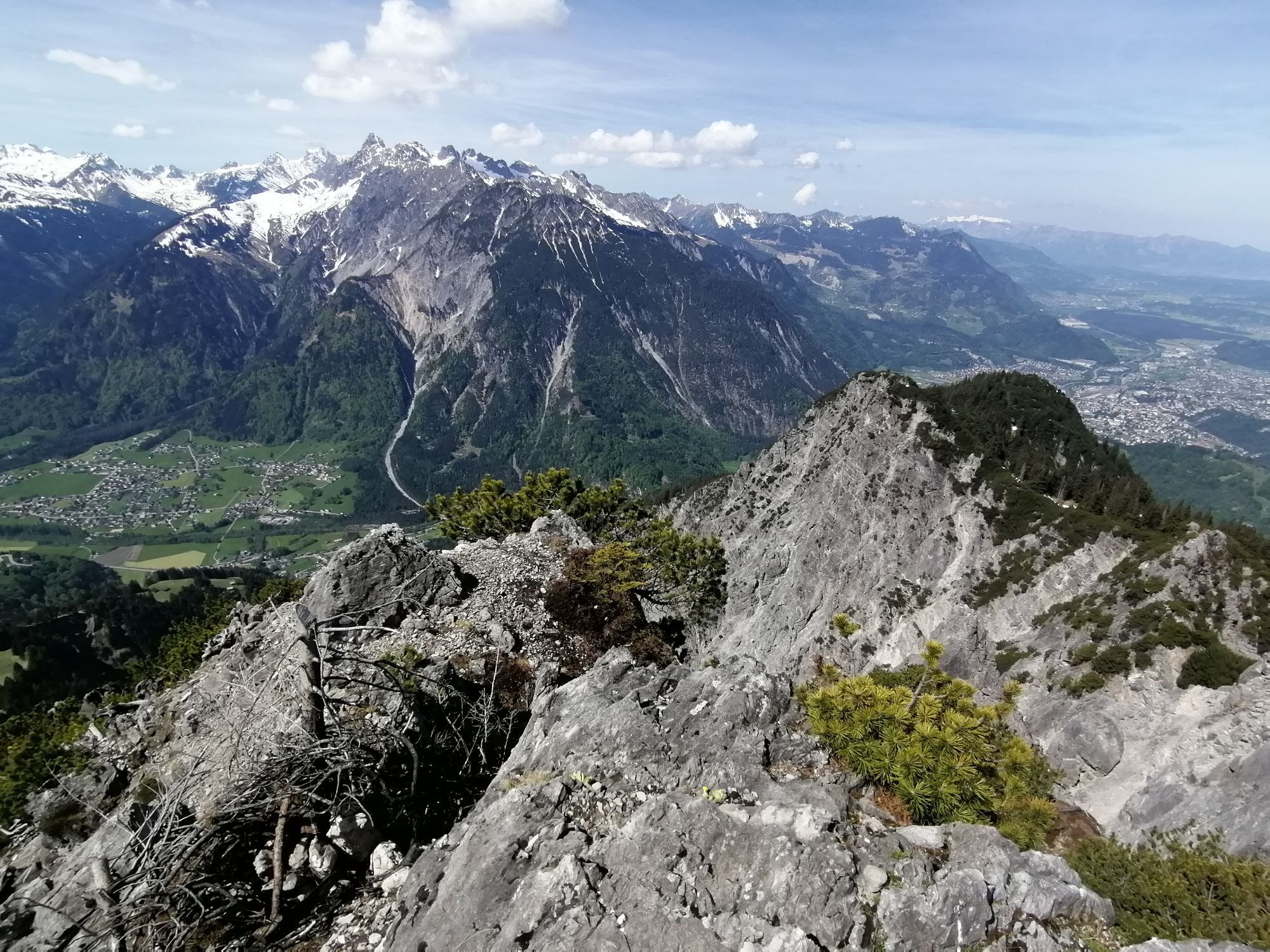
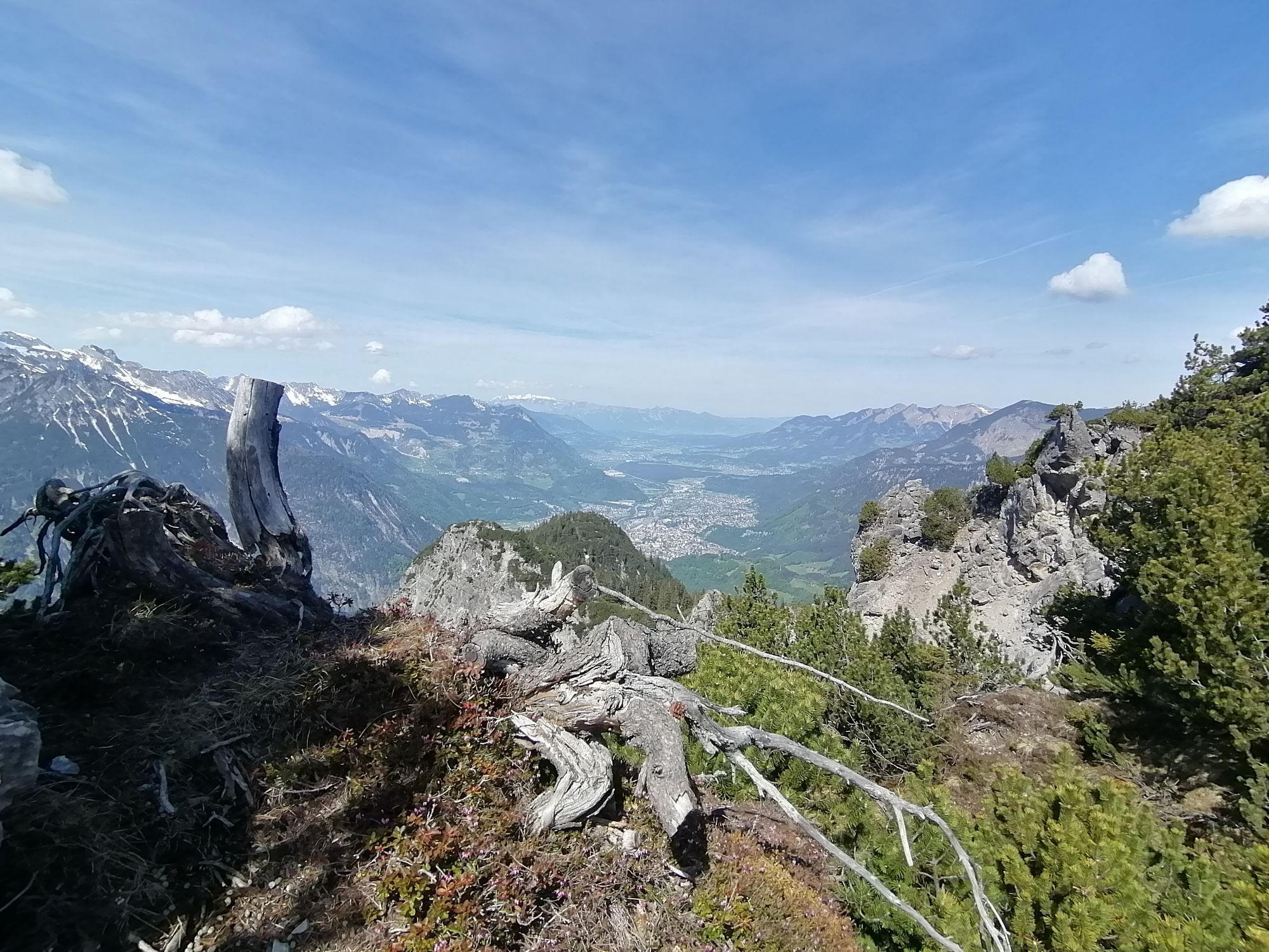
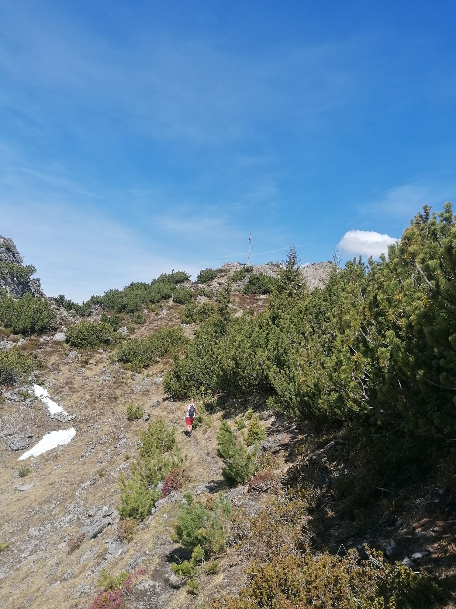
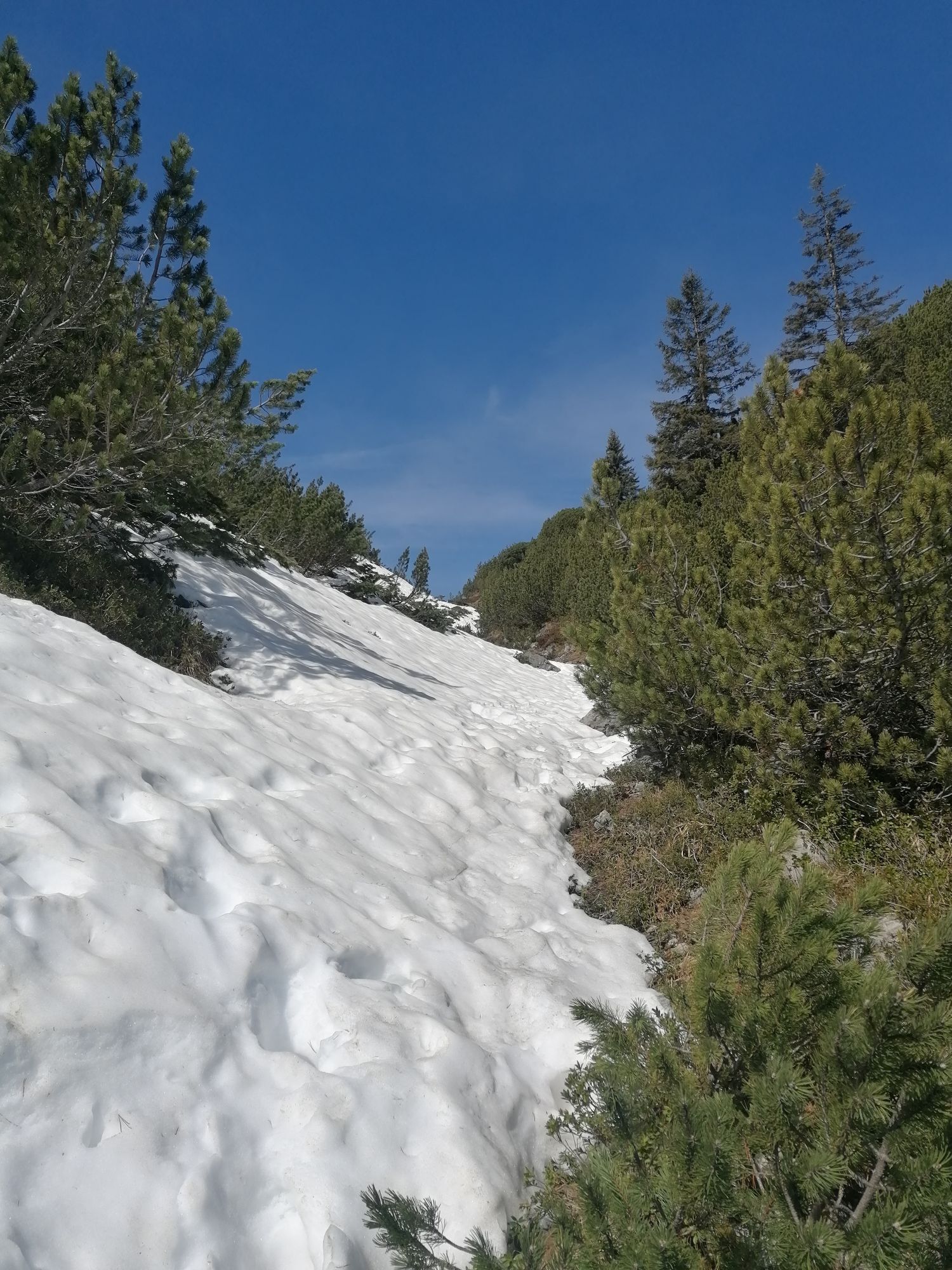
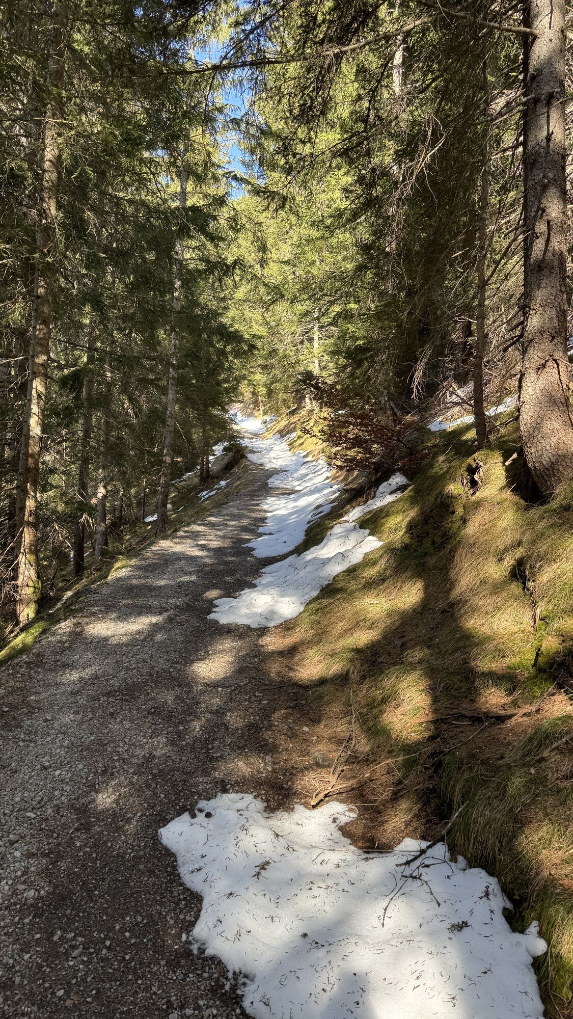
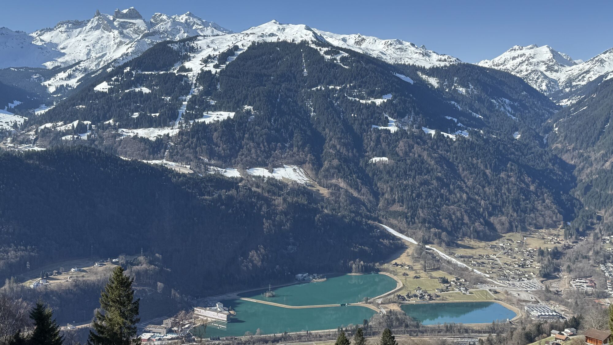
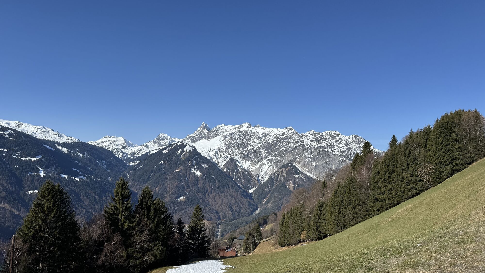
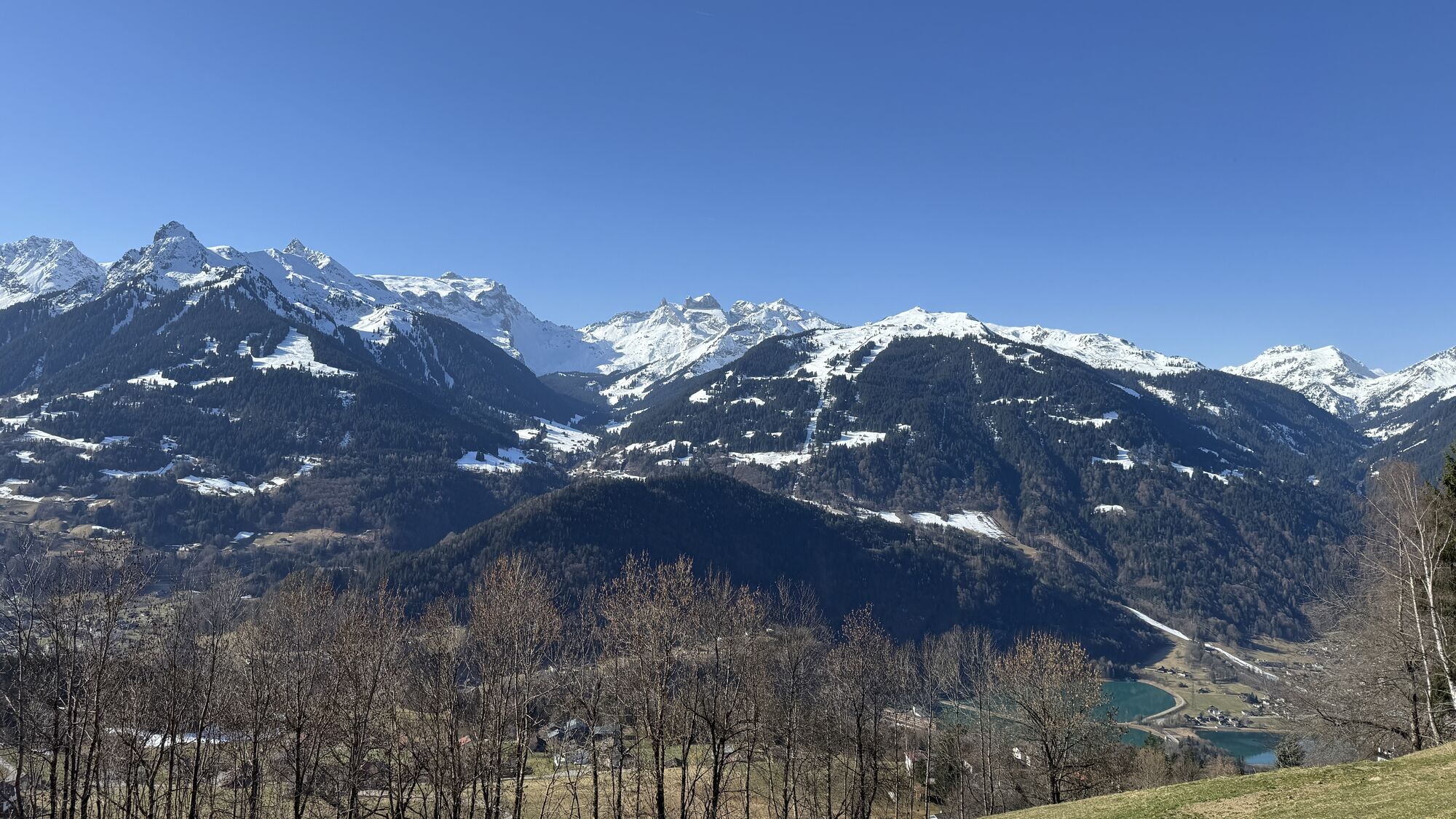
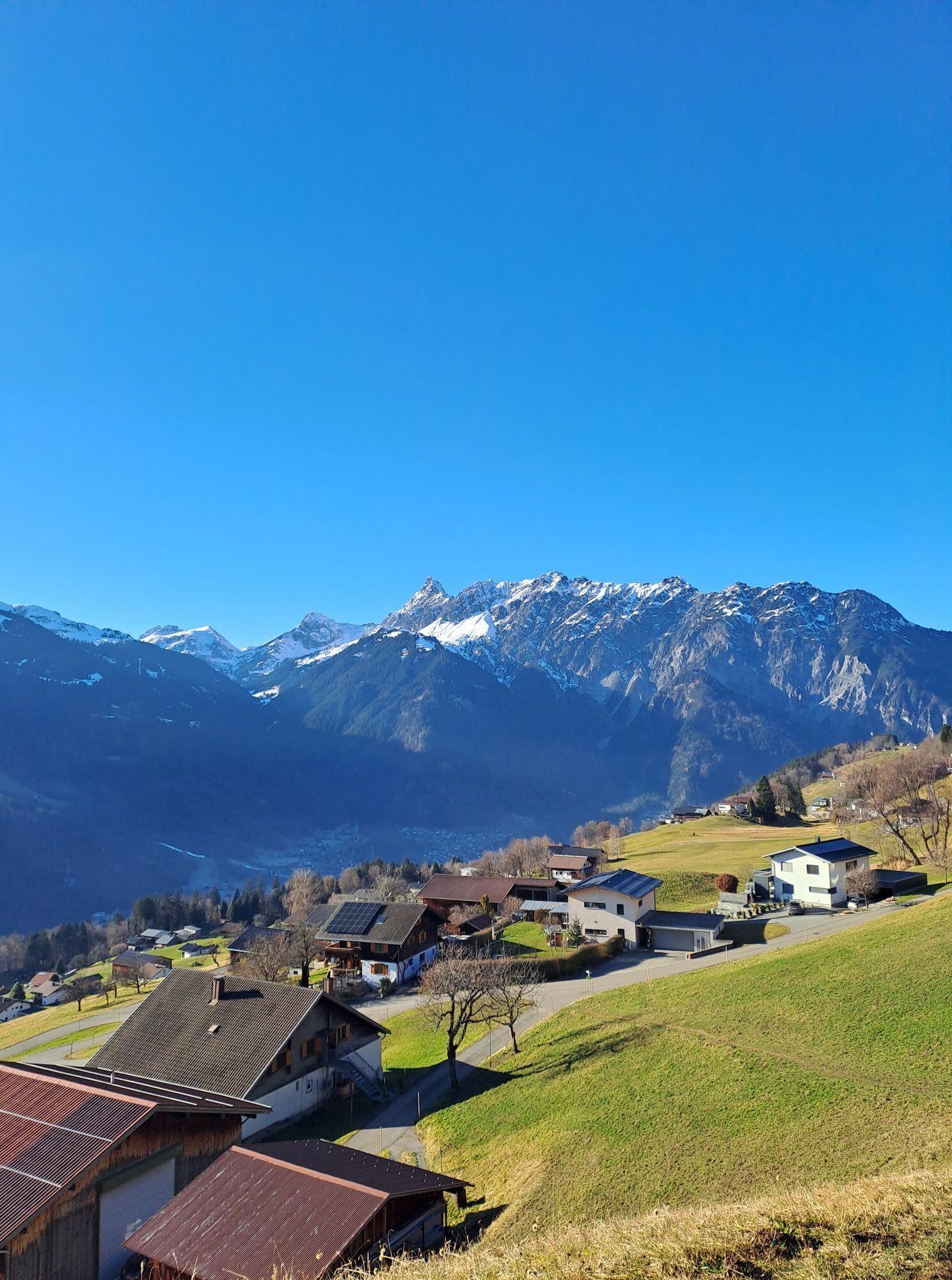
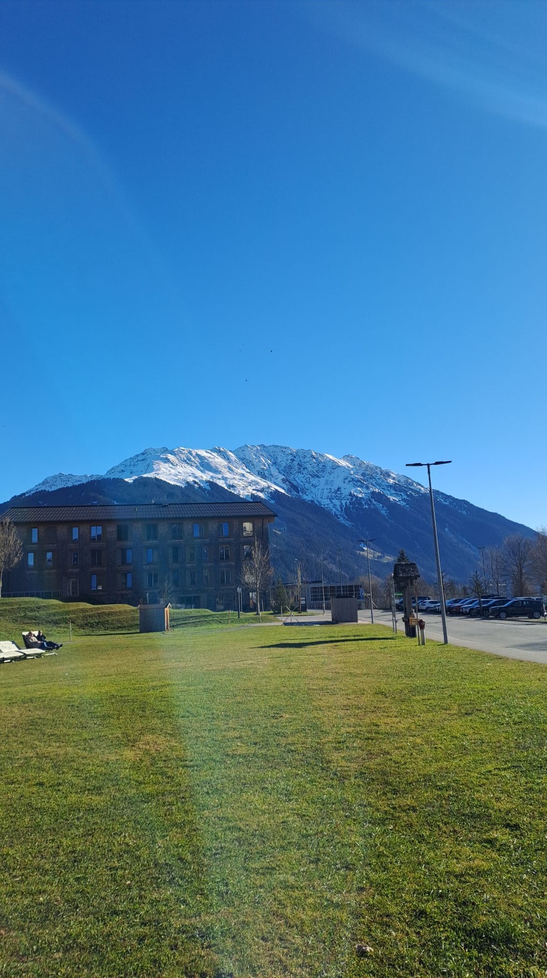
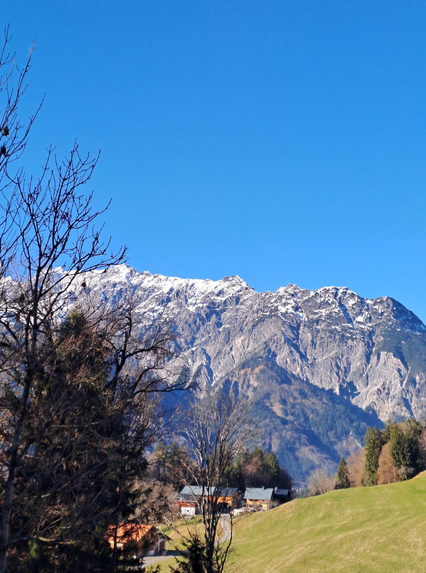
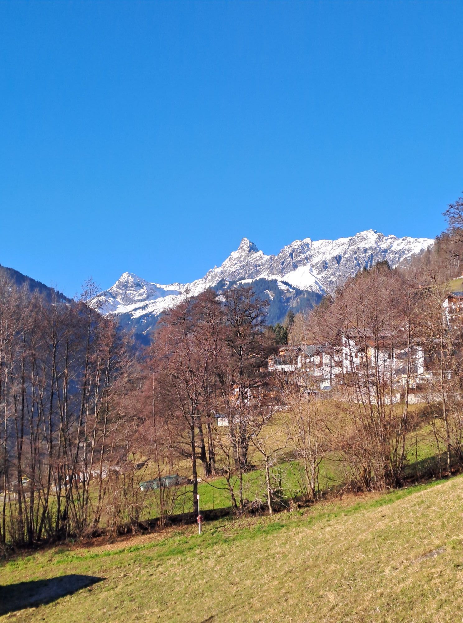
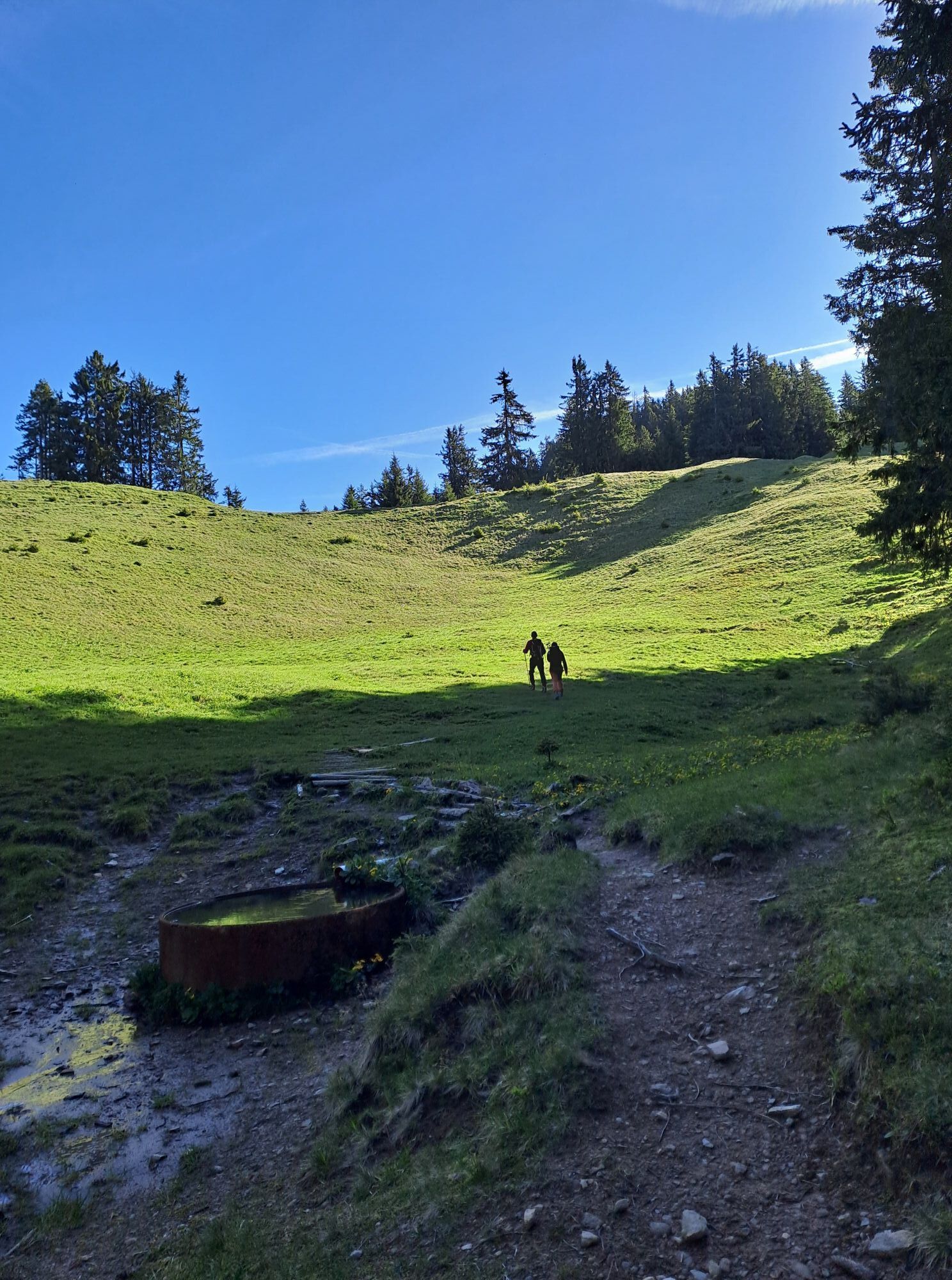
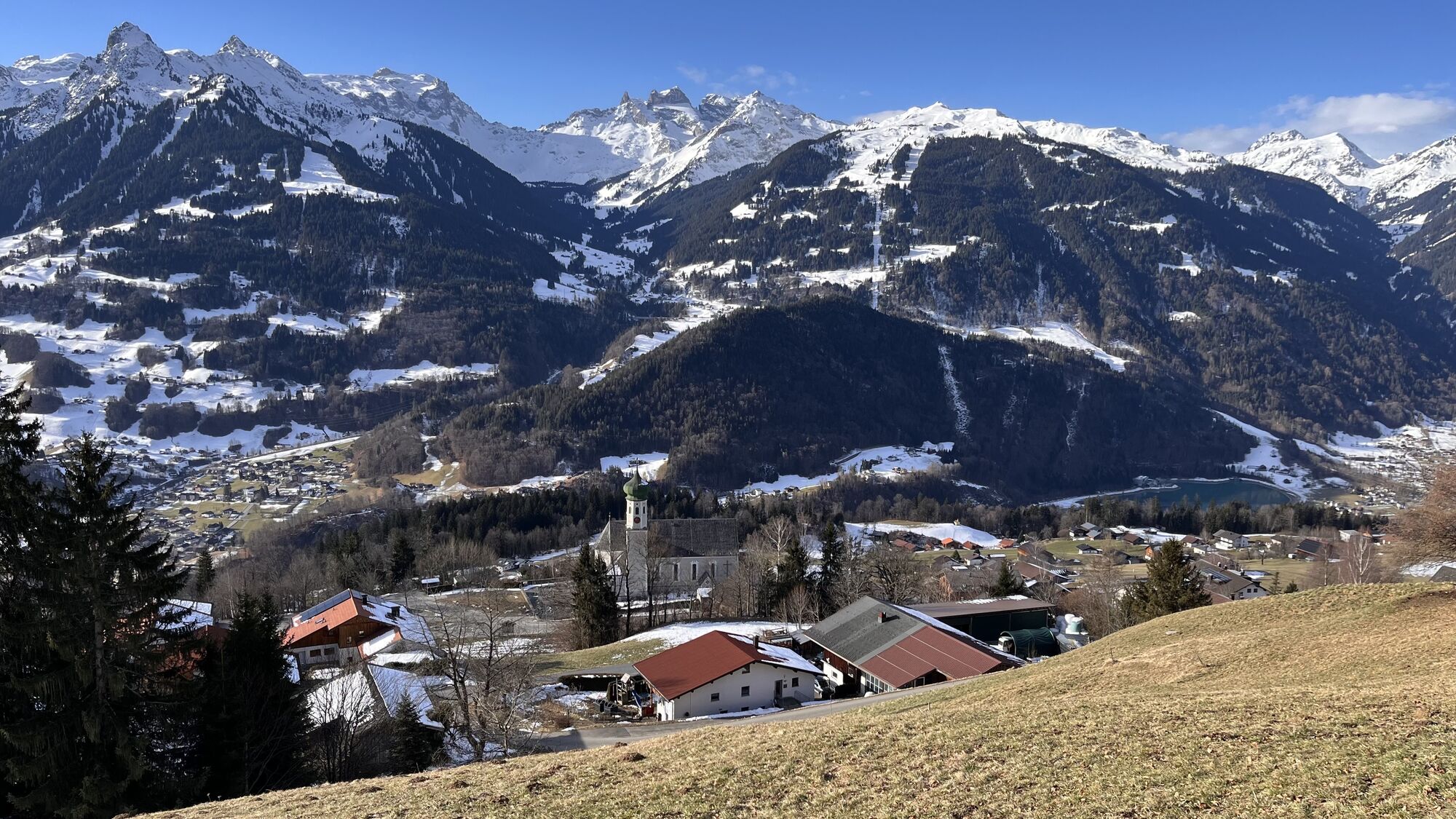
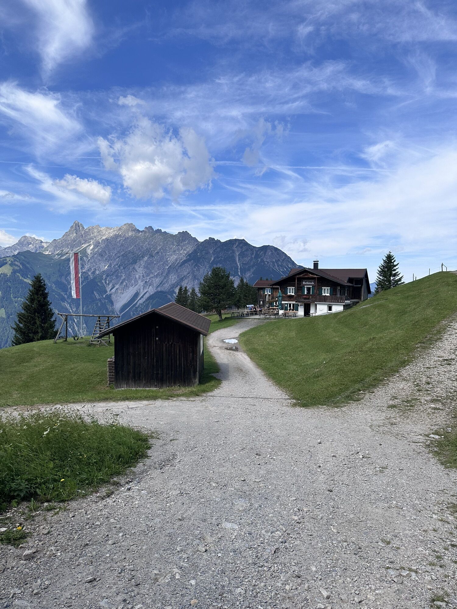
The Bike & Hike route to Davennaspitze combines the best of both worlds: You start by bike from Aktivpark Montafon and reach Alpplegi via varied paths. There you securely leave your bike at the Bike &...
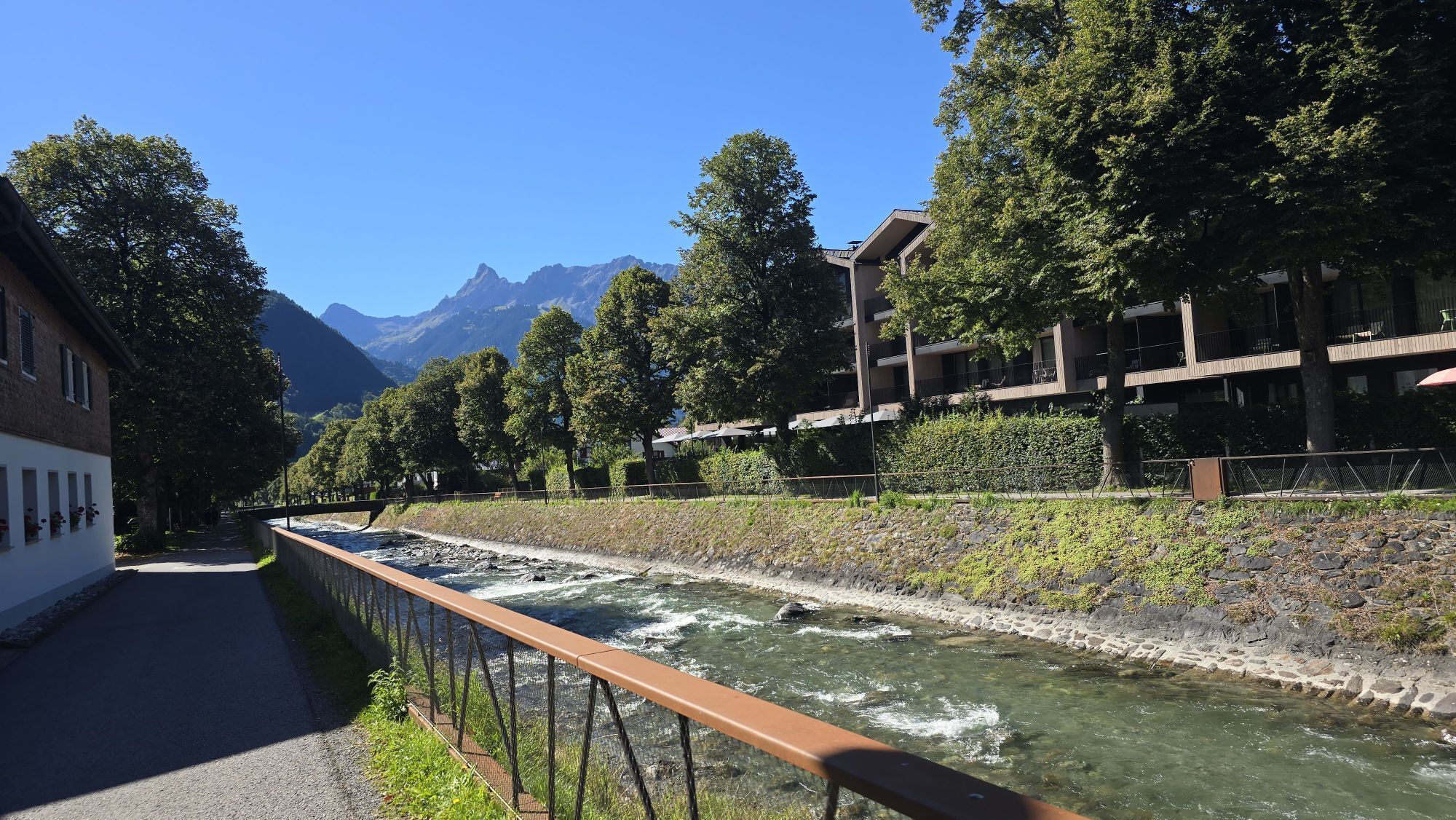
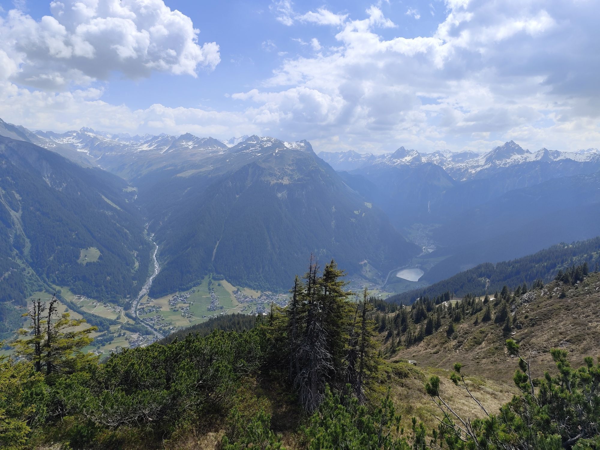
Note: Most of the route runs on asphalt and offers little shade. Therefore, plan enough water and sun protection to enjoy the route comfortably.

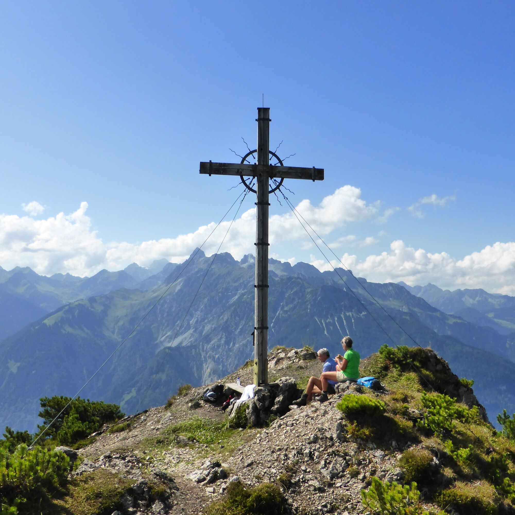
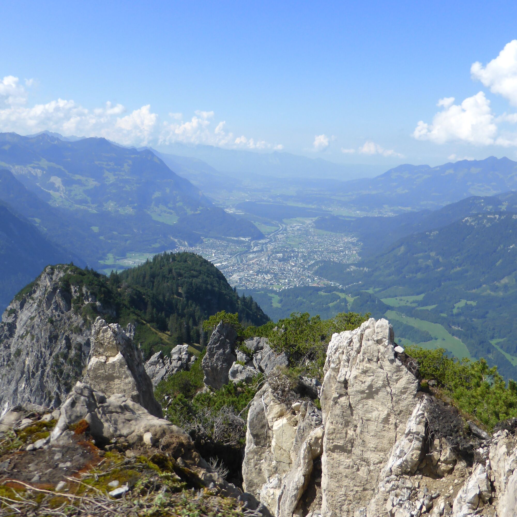
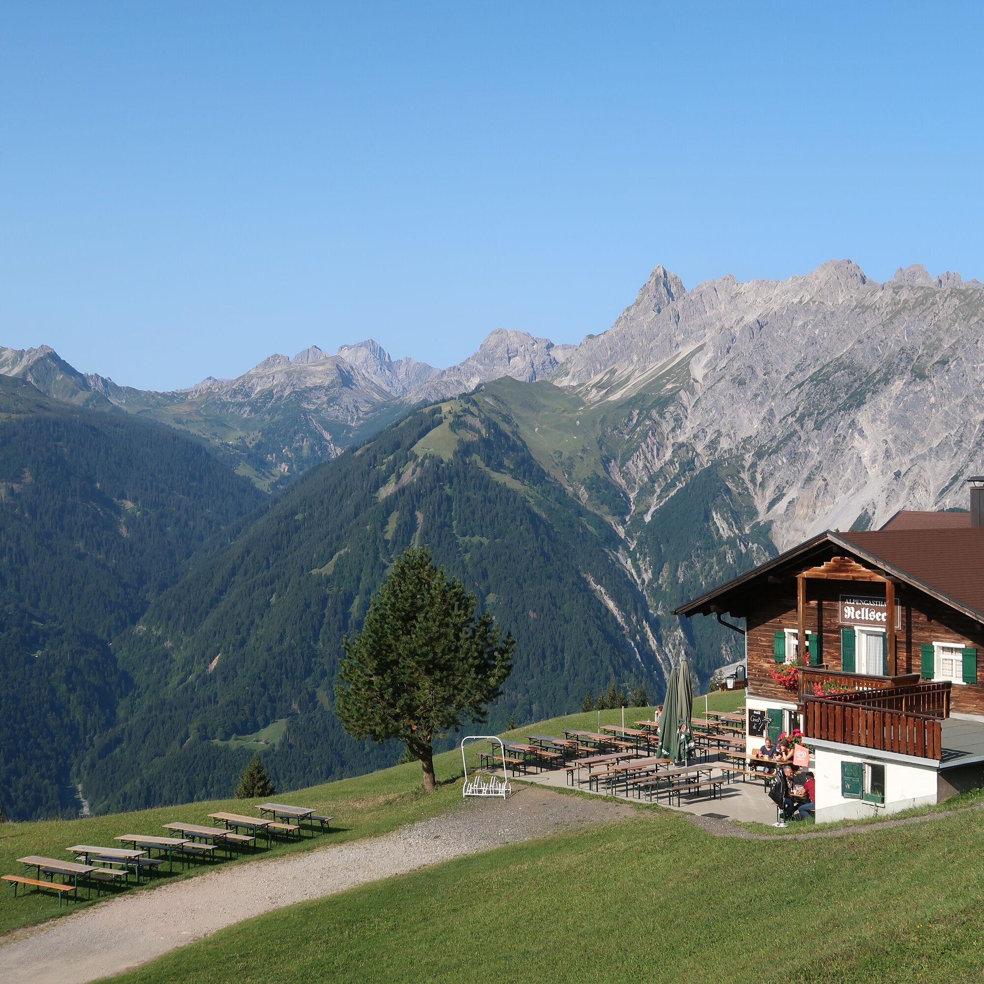
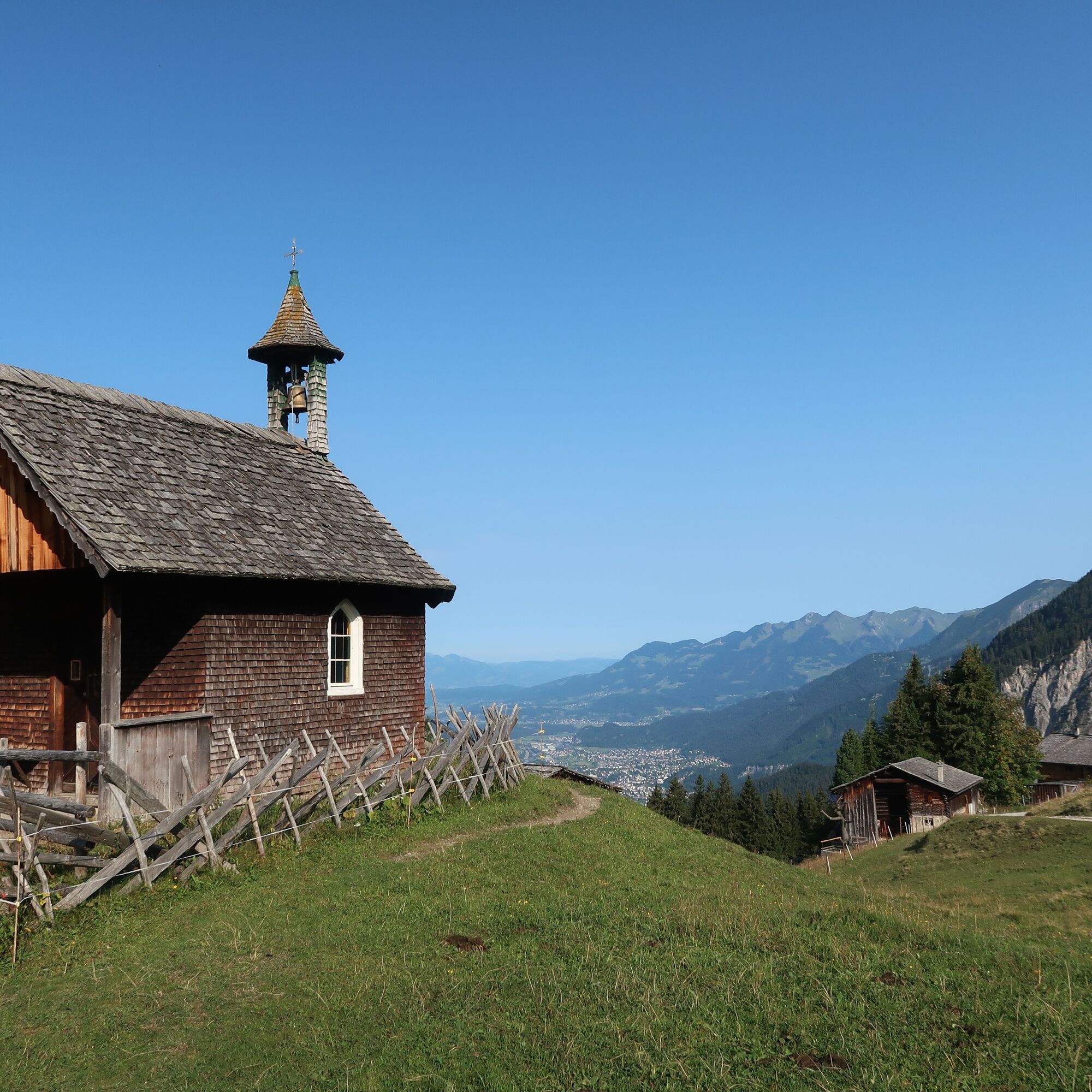
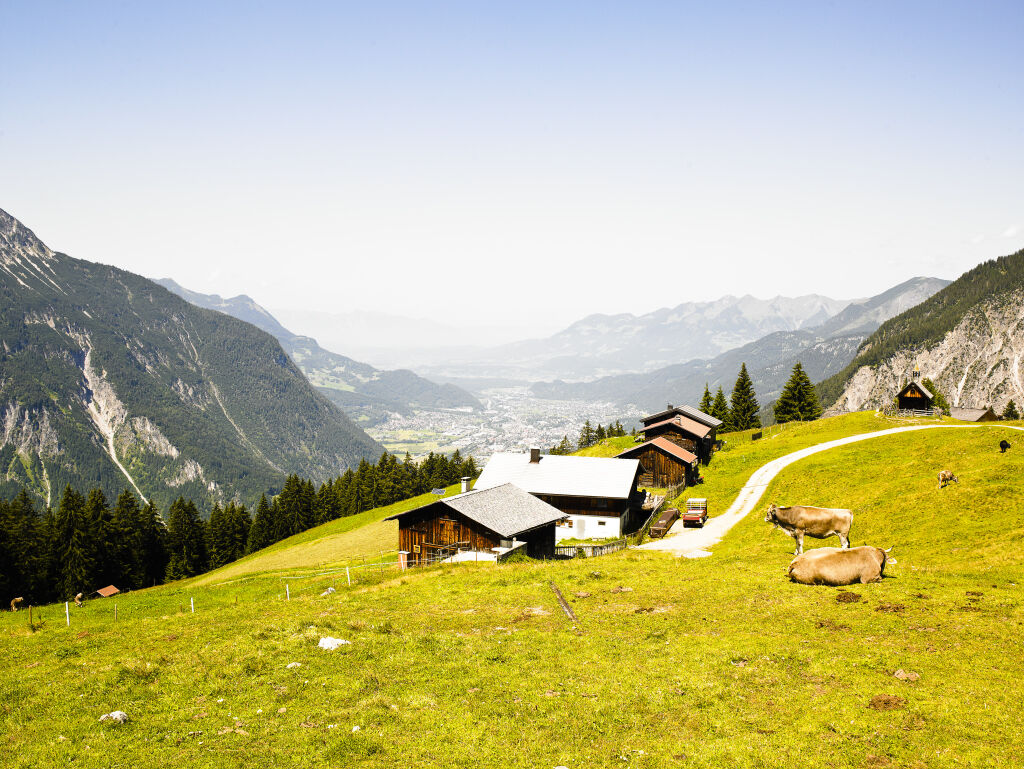
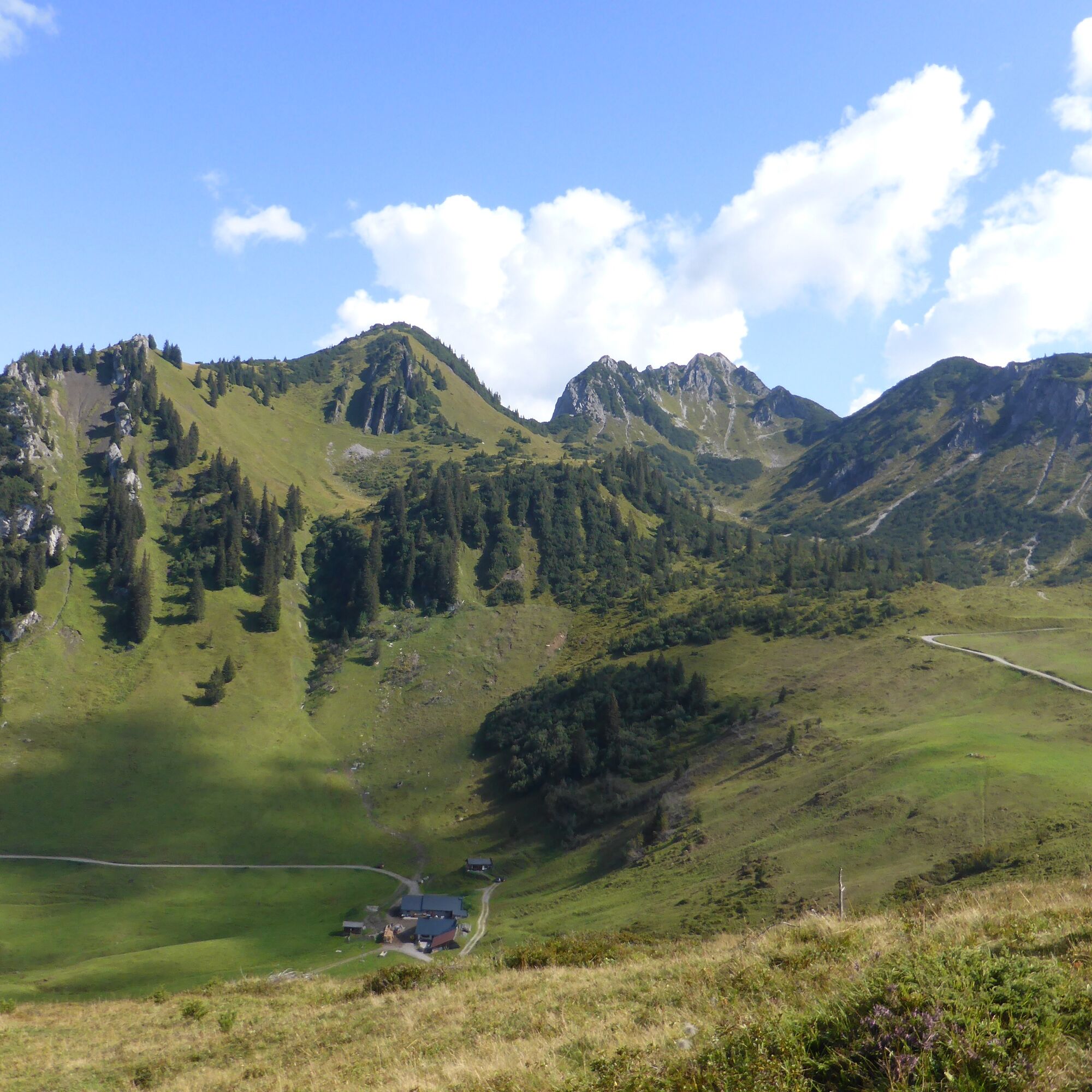
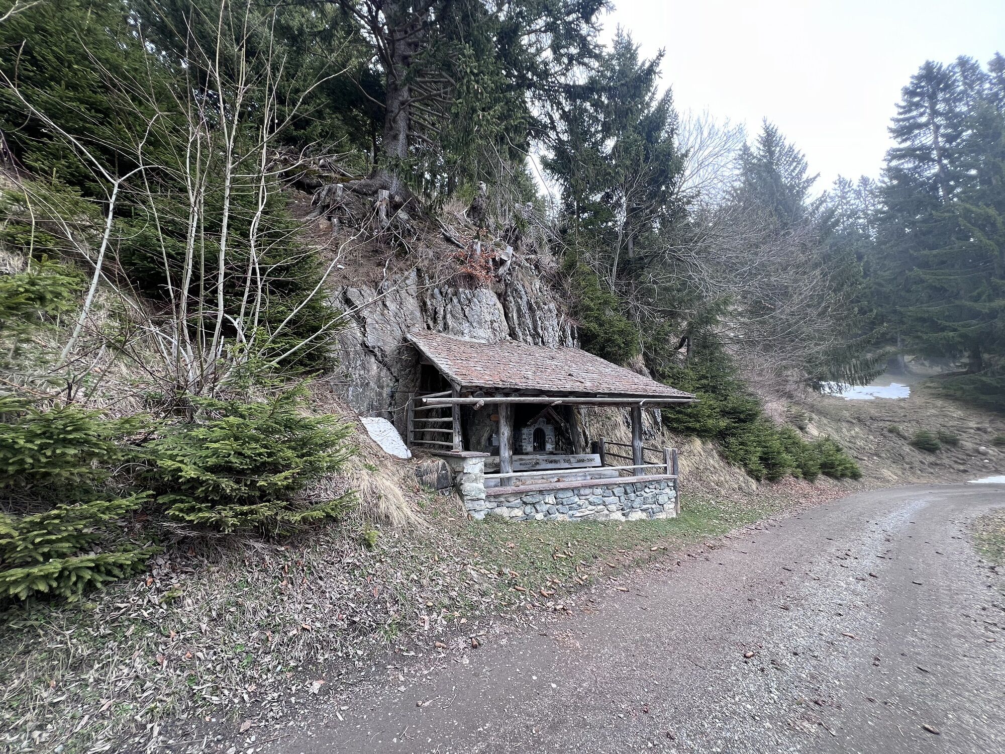
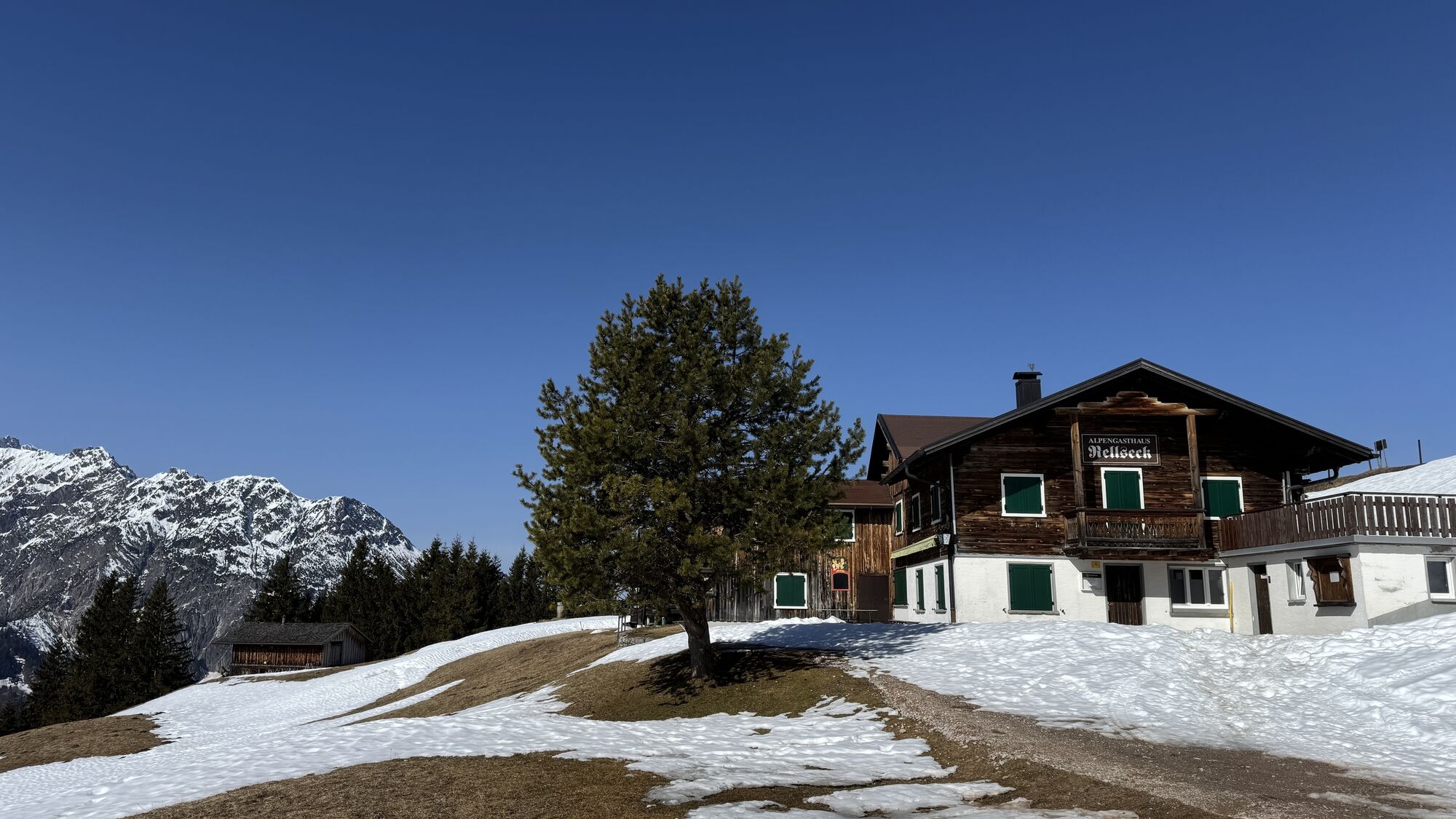
Aktivpark Montafon - St. Anton i. M. - Bartholomäberg - Rellseck - Alplegi / From here hike to Davennaspitze in about 1 hour and 30 minutes - same way back / Alplegi - Rellseck - Bartholomäberg - Schruns - Aktivpark Montafon
Áno
Áno
Spare battery, charger, bicycle helmet, day cycling backpack (approx. 20 liters) with rain cover, comfortable sports shoes, possibly cycling shoes, weather-adapted and durable clothing in a layering system, possibly cycling jersey, possibly cycling gloves, pump, bicycle tools, sun and rain protection, provisions and drinking water, drink bottle and appropriate holder, first aid kit, pocket knife, mobile phone, possibly mobile phone holder for the handlebar, possibly headlamp and reflectors, maps
112 European emergency number (works with any mobile phone/network)
Free activity map for (e-)mountain biking available at all Montafon tourist offices.
Webové kamery z prehliadky
-
Hochjoch Bahn Bergstation
-
Grüneck Bergstation
-
Matschwitz Mittelstation
-
Silbertal Dorf
-
Innerberg
-
Sücka Schlepplift Talstation
-
Berghof Golm
-
Golfclub Braz
-
Golm - Matschwitz
-
Silvretta-Montafon - Panorama Bahn
-
Golm - Hüttenkopfbahn
-
Golm - Rätikonbahn
-
Bartholomäberg
-
Bartholomäberg
-
Tschagguns
-
Schruns
-
Bartholomäberg - Ferienhotel Fernblick
-
Wormserhütte
-
Wormserhütte
-
Kapellbahn
-
Schlepplift Innerbach
-
Bartholomäberg
-
Bartholomäberg - Ferienhotel Fernblick
-
Bartholomäberg - Ferienhotel Fernblick
-
Bartholomäberg - Ferienhotel Fernblick
Obľúbené výlety v okolí
-
5,0
Ski tour to the Lindauer Hut (1,744 m)
svetloSkitour 14,0 km -
4,9
Bürs, Bürserschlucht Bürs, Vorarlberg
strednáTuristika 5,31 km -
4,2
Mondspitze (Montspitze)
strednáTuristika 7,97 km -
4,4
Golm-Rundwanderweg im Rätikon
strednáTematická trasa 7,28 km -
4,7
Over the historic mine and Fritzensee to Rellseck
strednáTuristika 7,25 km -
4,2
Golmerbahn Bergstaion Grüneck - Golmer Höhenweg - Geißspitze - Lindauer Hütte - Latschau
strednáTuristika 11,5 km -
5,0
Douglasshütte, Lünersee, Gafalljoch Brand bei Bludenz, Vorarlberg
svetloTuristika 9,16 km -
4,6
Kristberg - Wasserstubental - Silbertal
svetloTuristika 13,8 km -
4,8
Douglashütte - Schesaplana
strednáTuristika 7,31 km -
3,0
Bergstation Grüneck Golmerbahn - Alpe Latschätz - Lindauer Hütte - Latschau
svetloTuristika 11,1 km

Turistika a stopovanie


Nenechajte si ujsť ponuky a inšpiráciu na ďalšiu dovolenku
Vaša e-mailová adresa bol pridaný do poštového zoznamu.