






Wasserstubental route
Úroveň náročnosti: 3

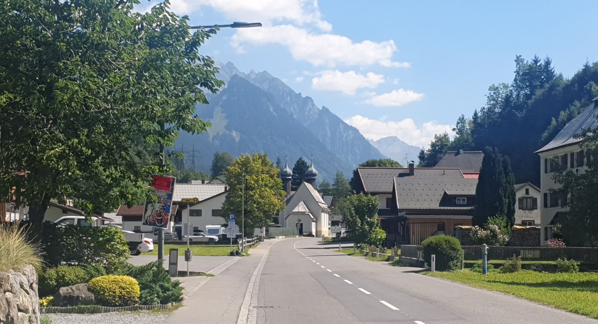
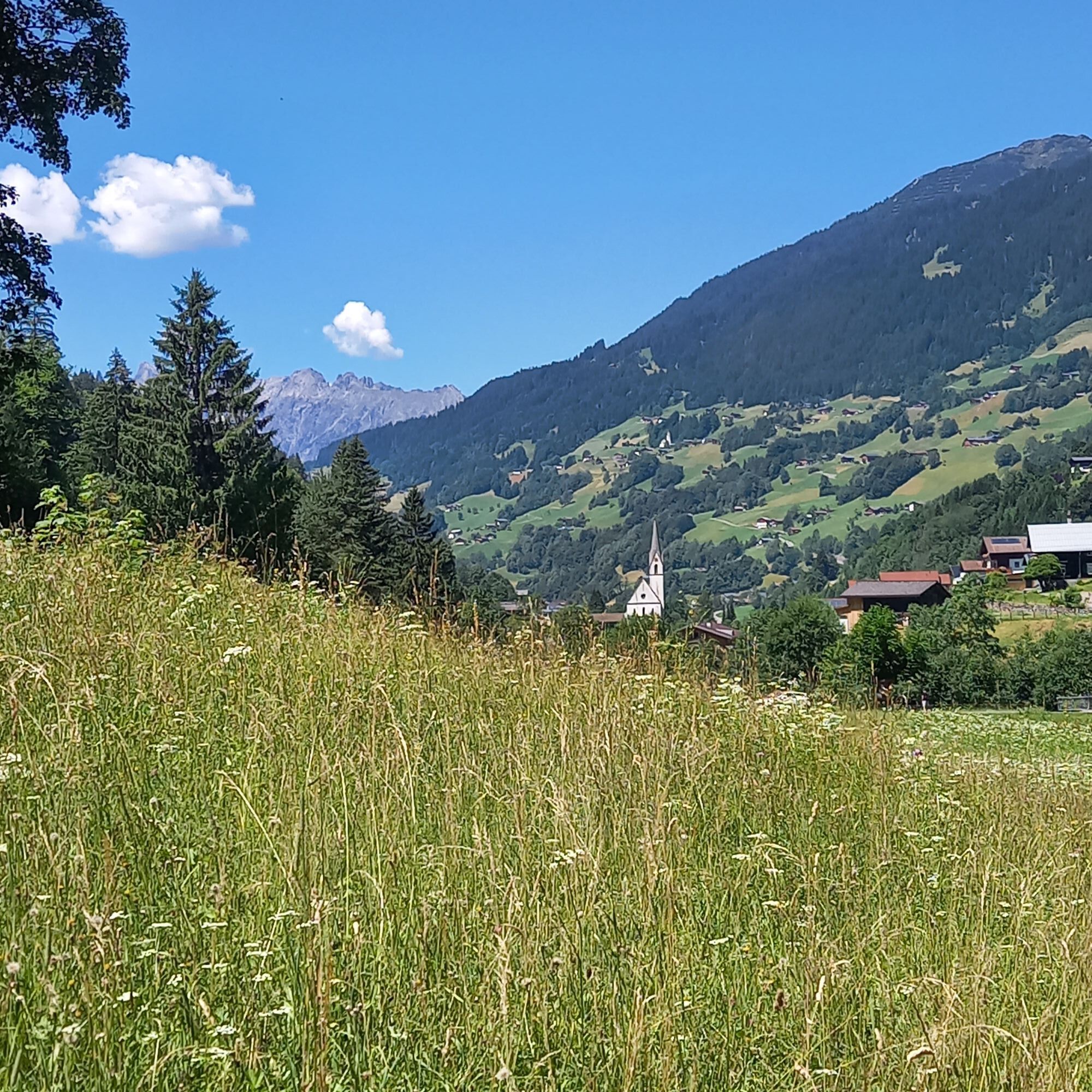
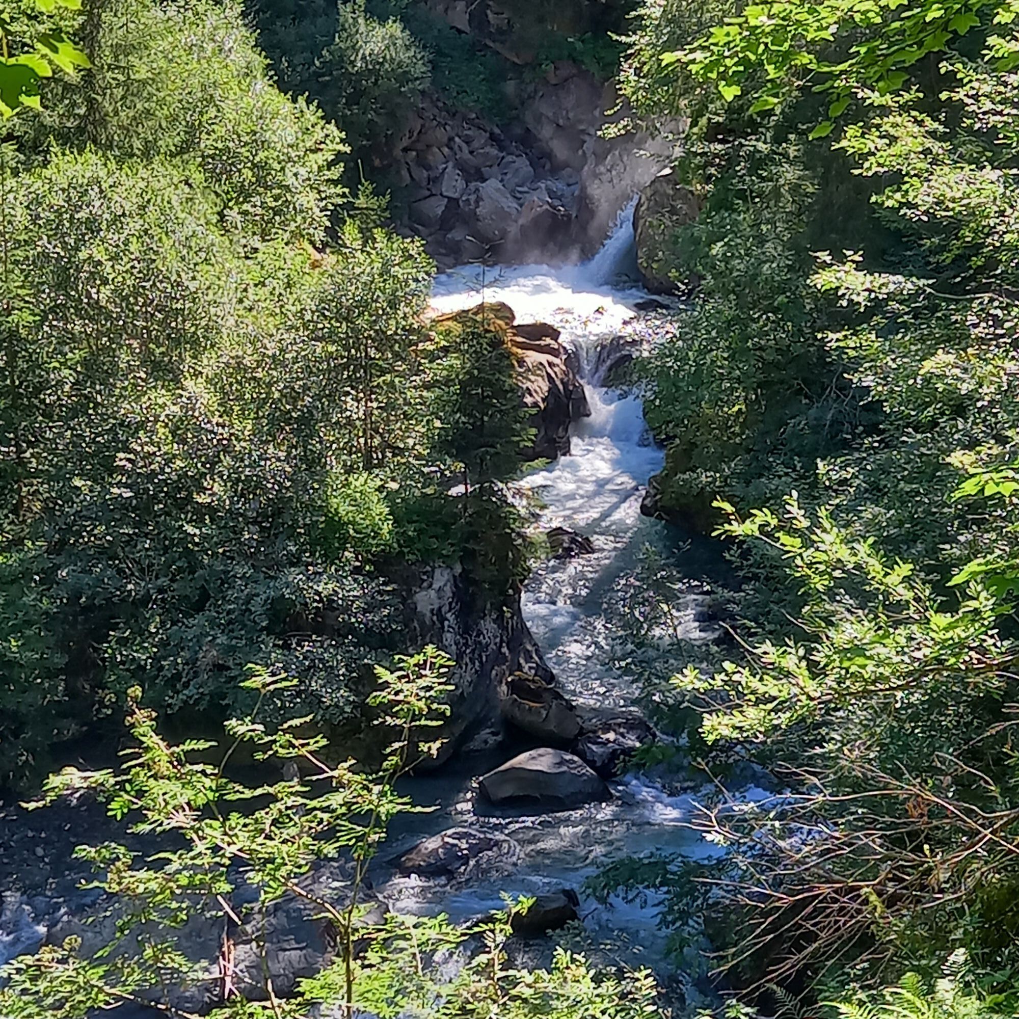
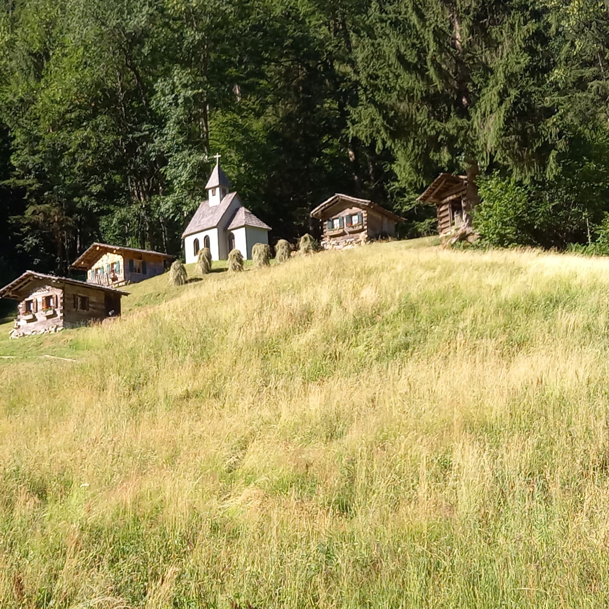
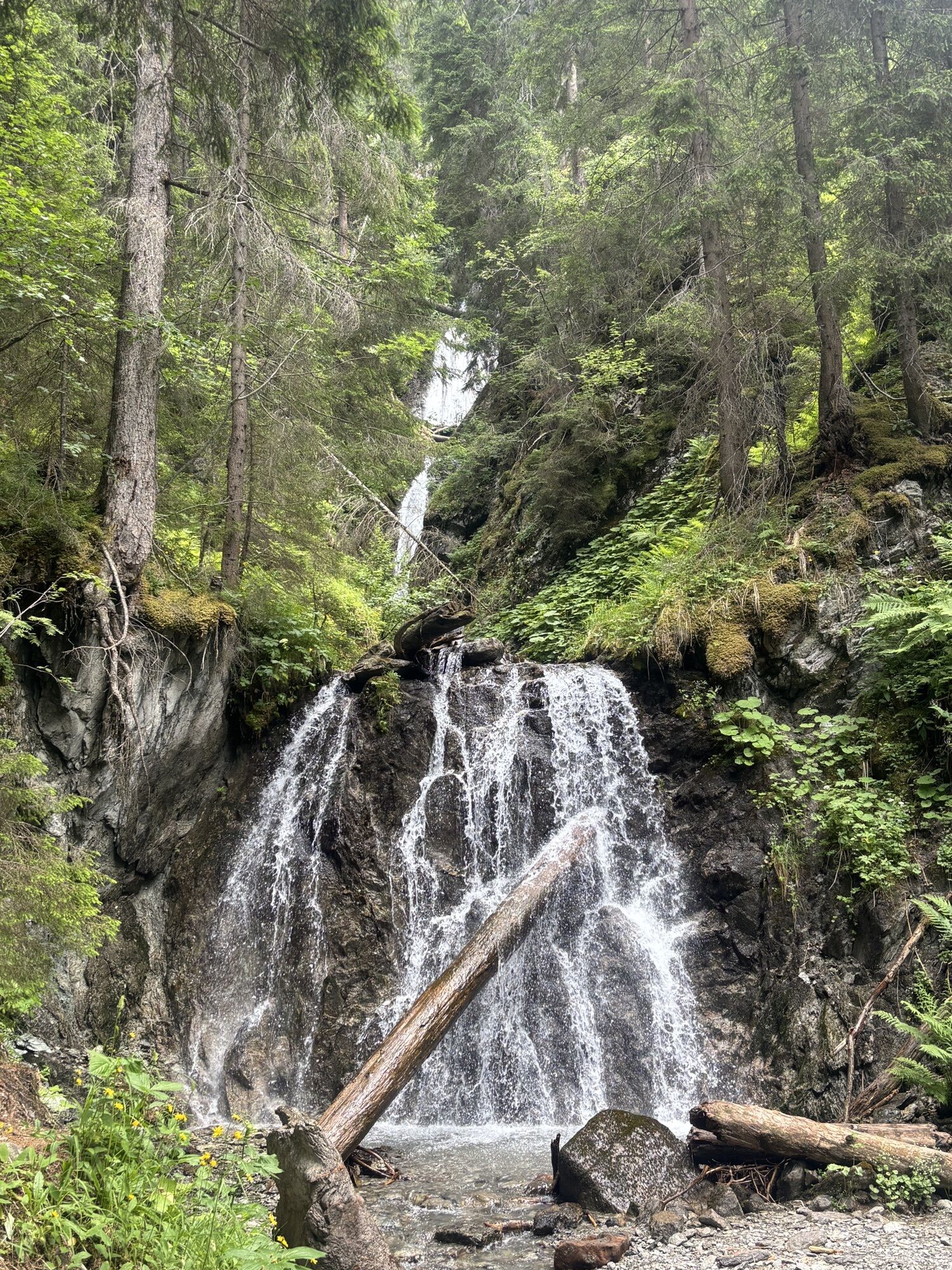
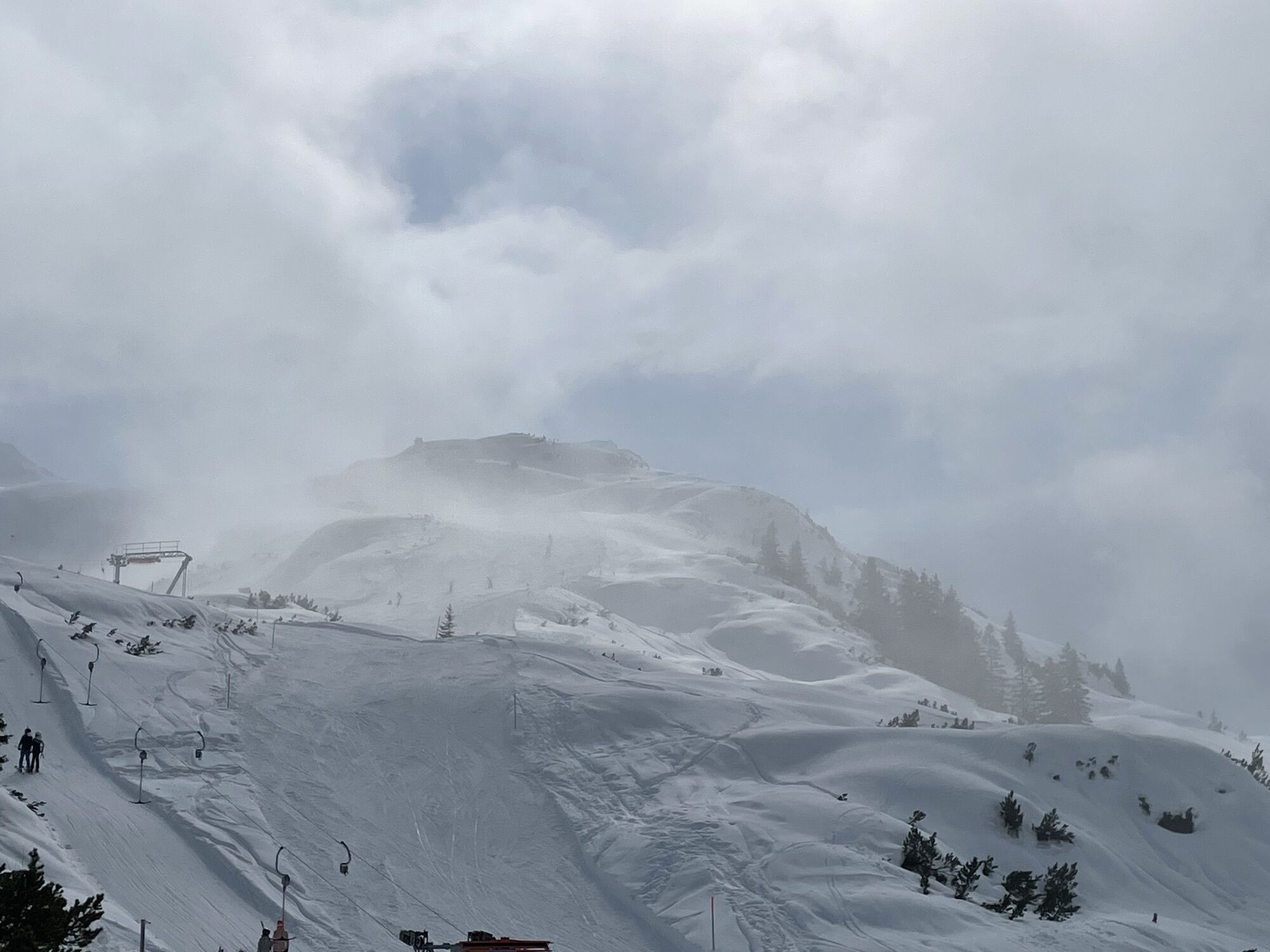
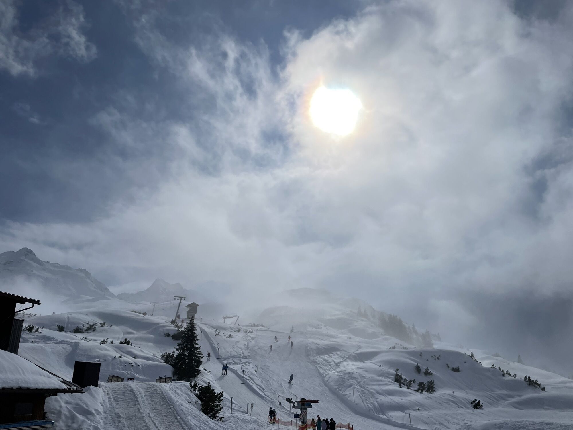
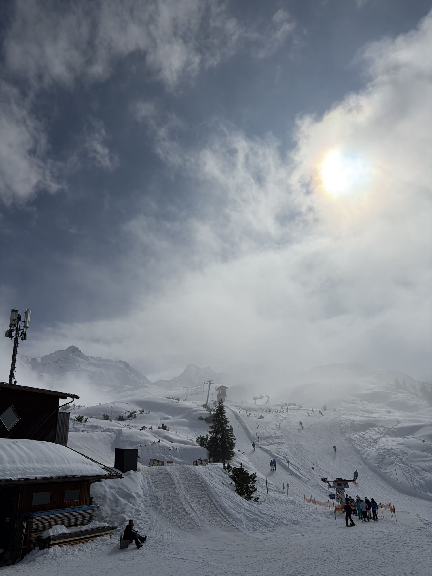
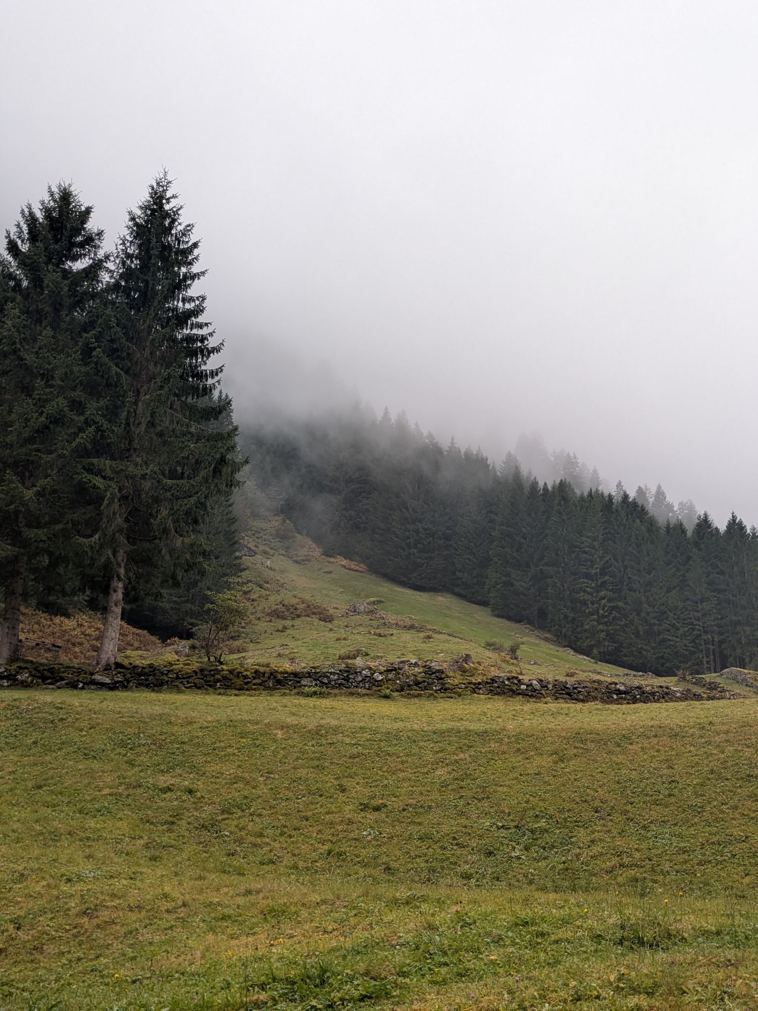
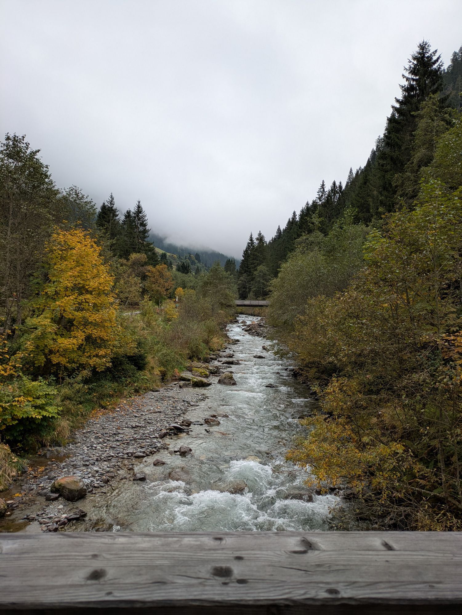
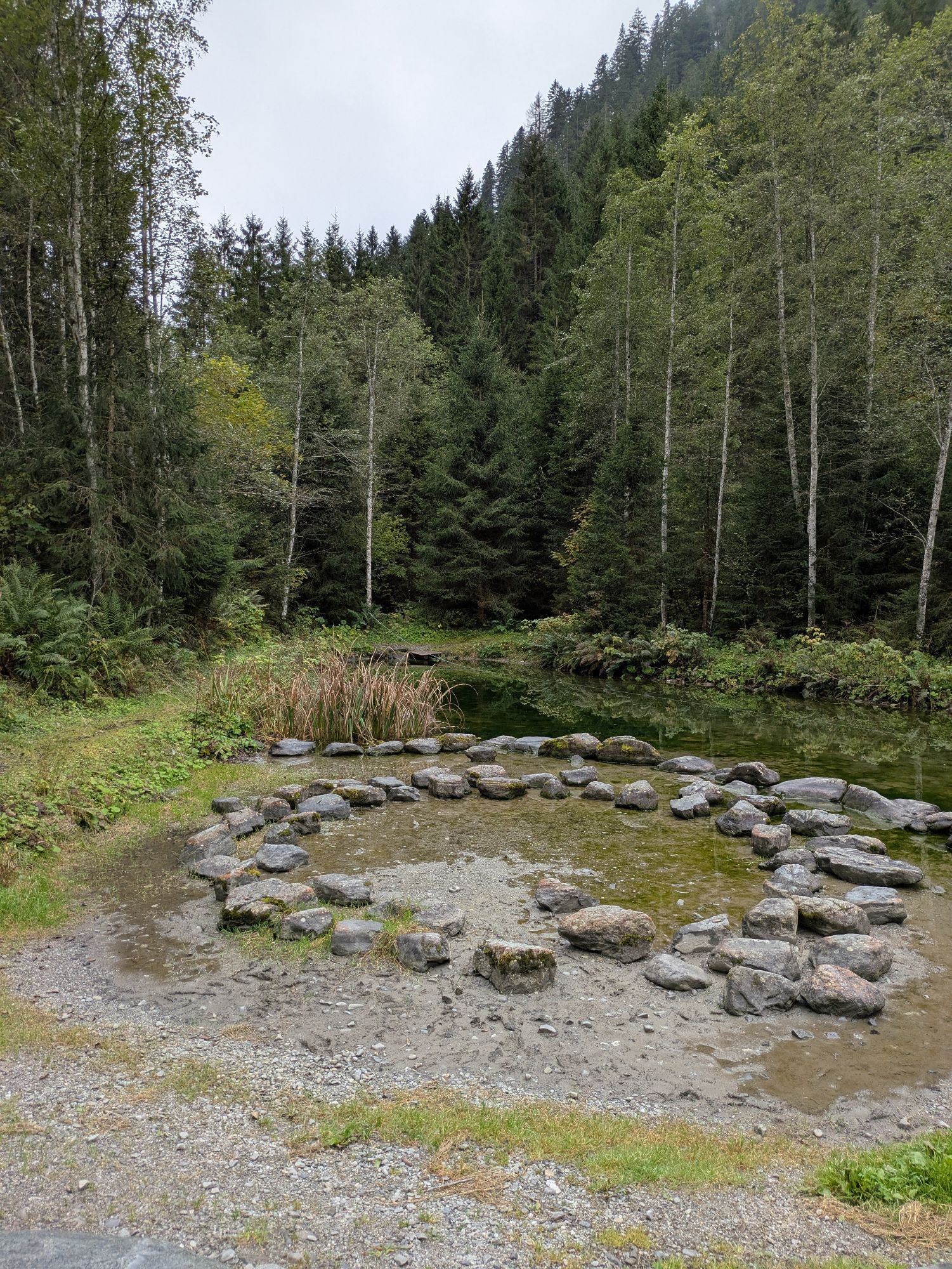
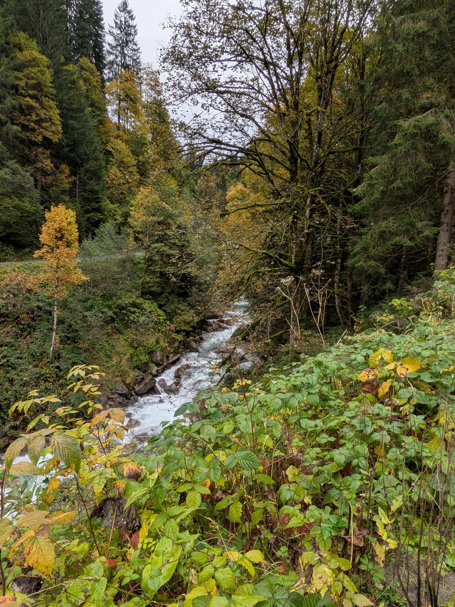
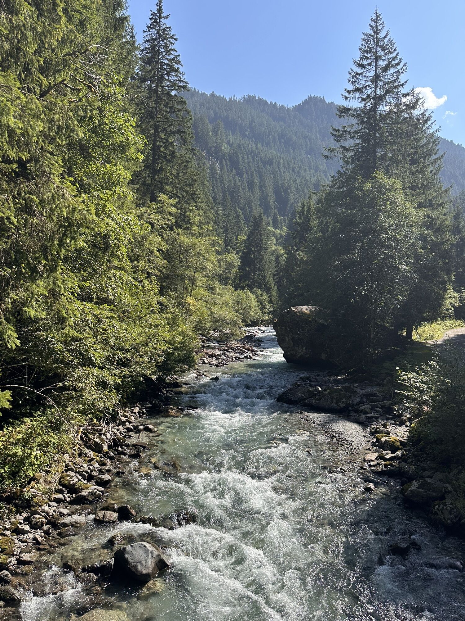
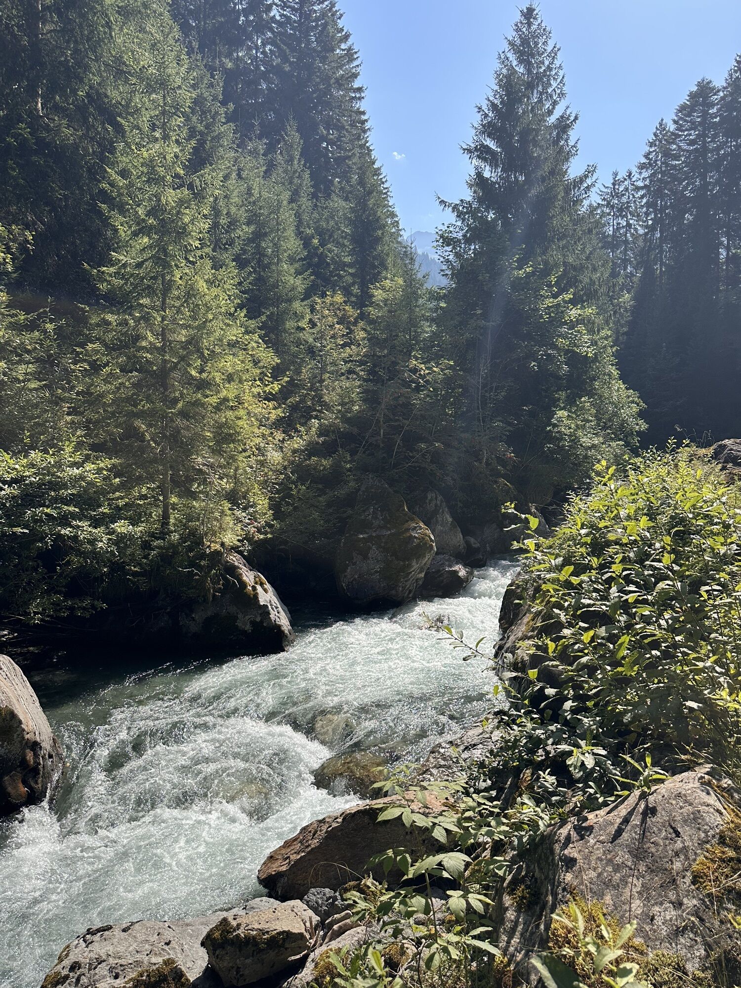
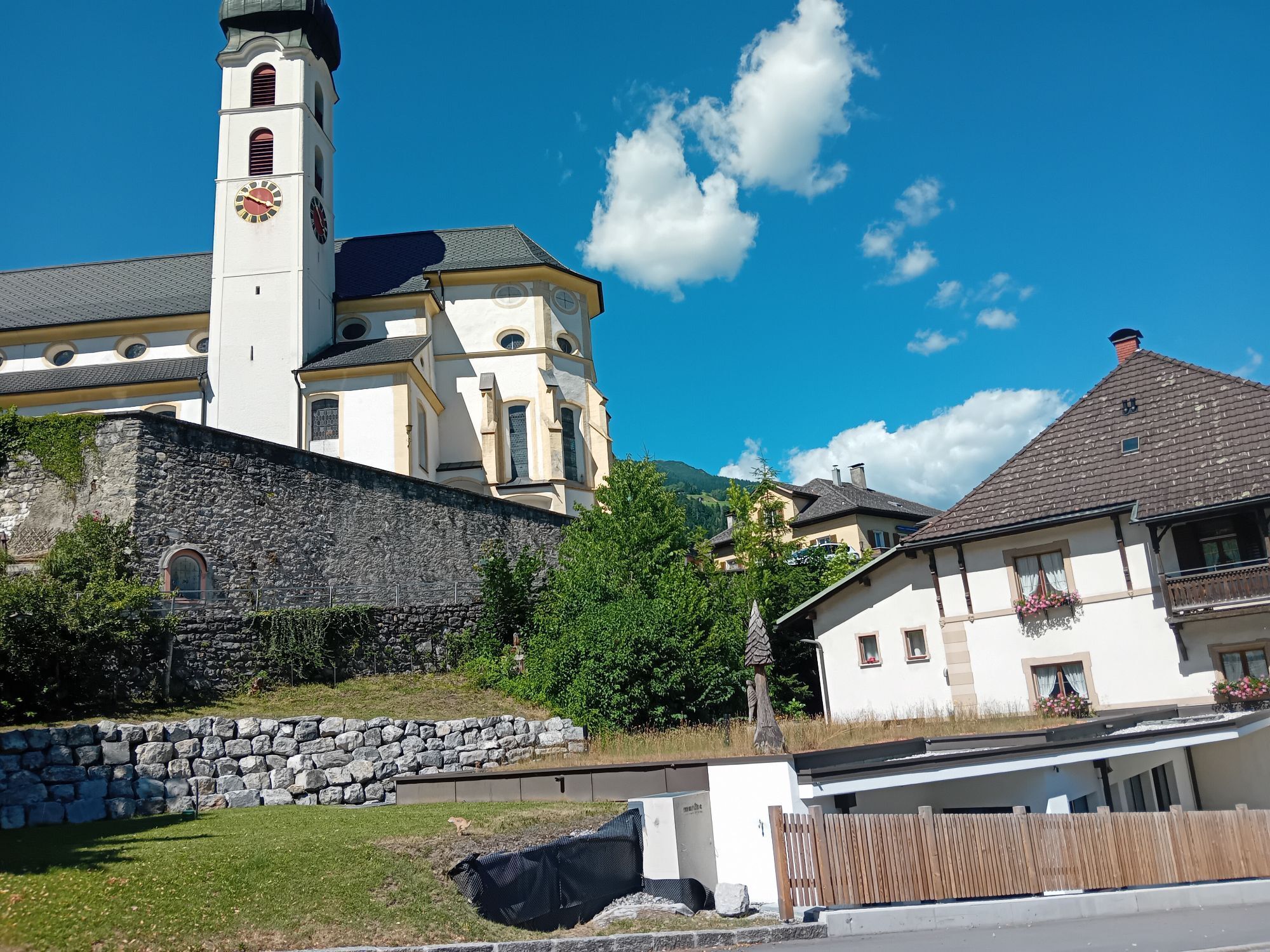
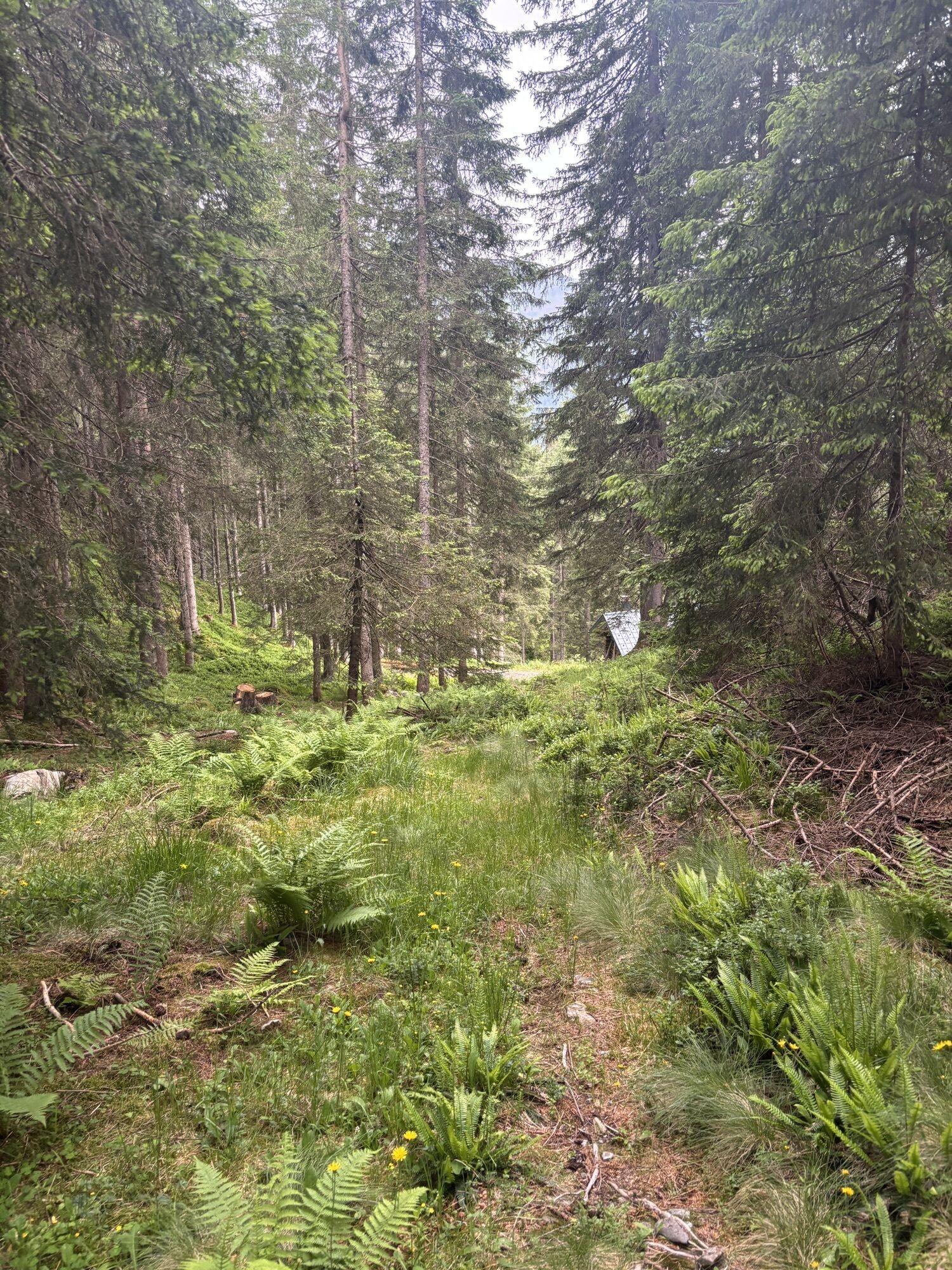
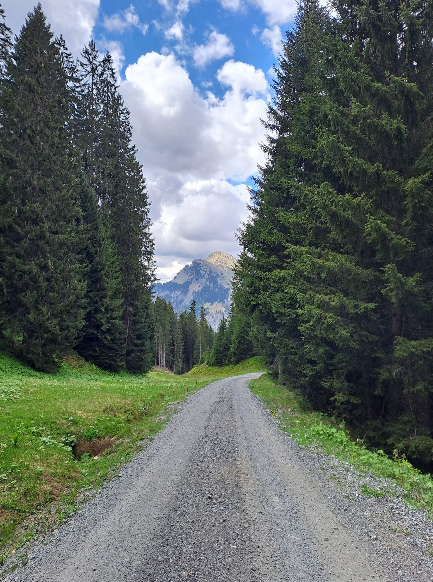
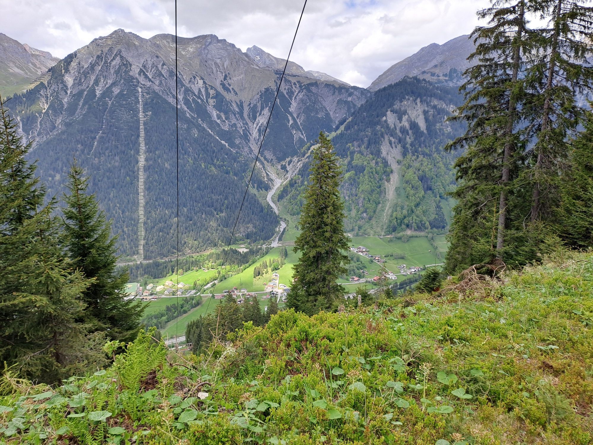
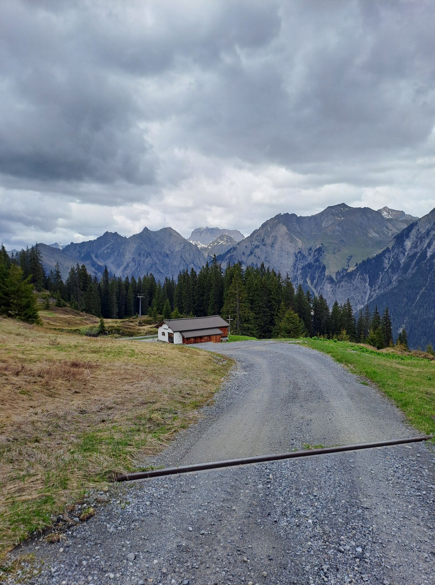
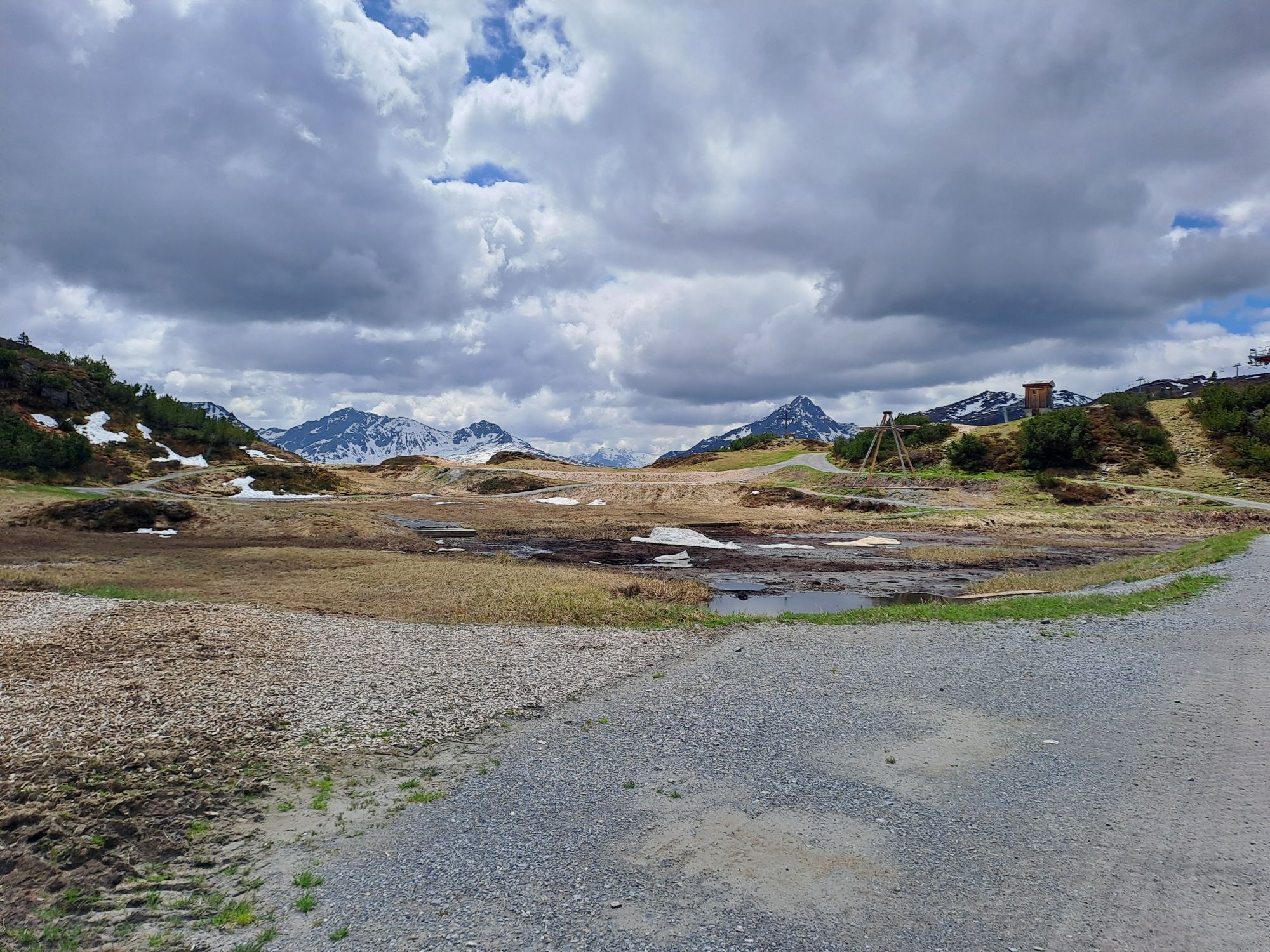
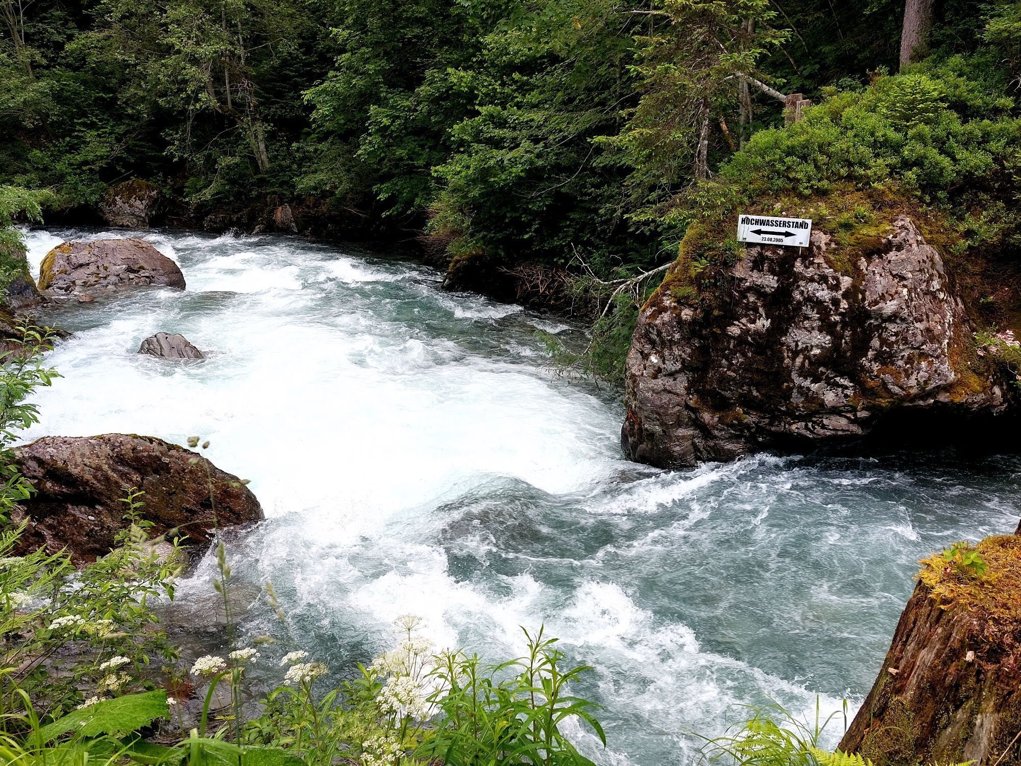
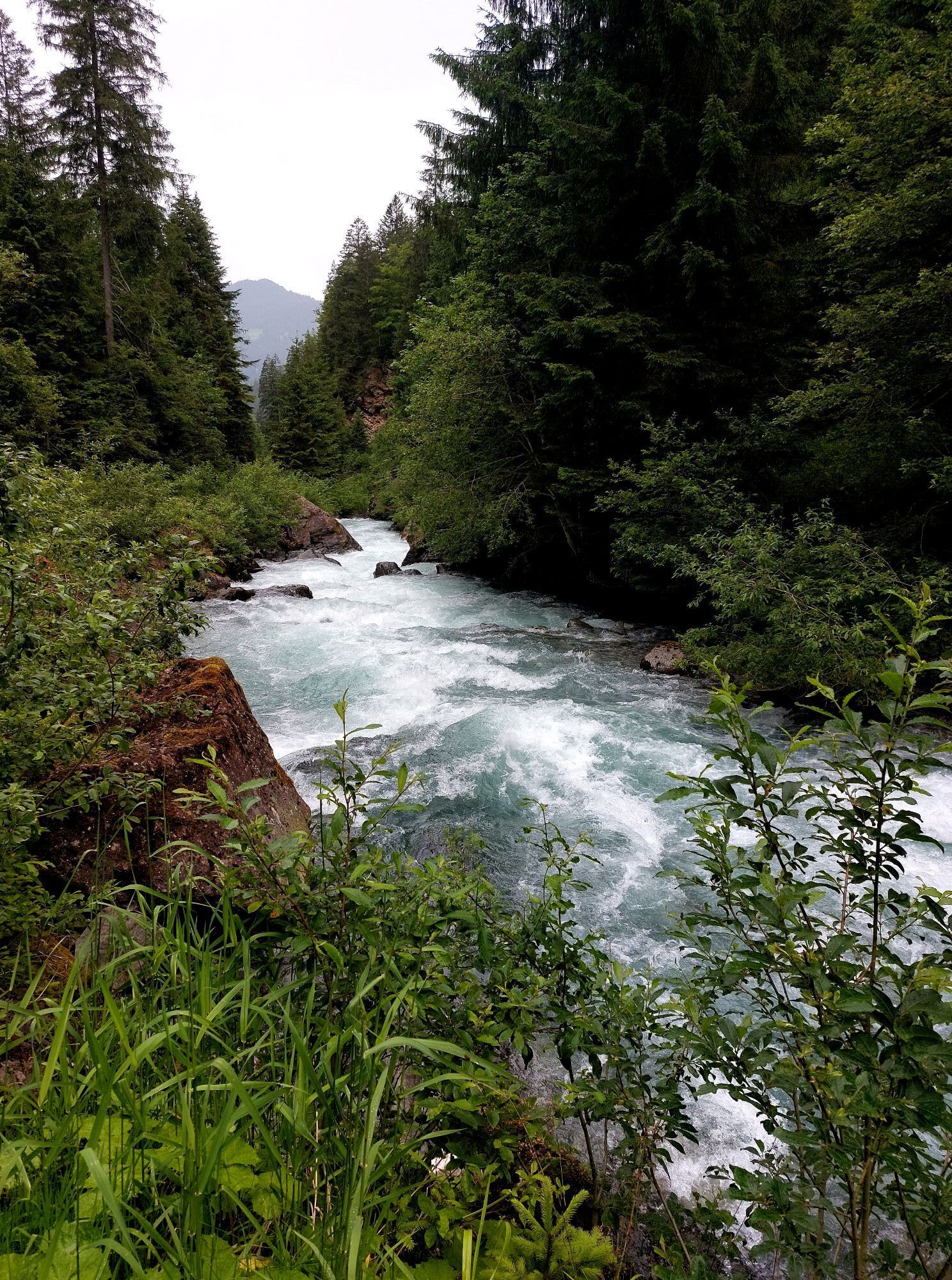
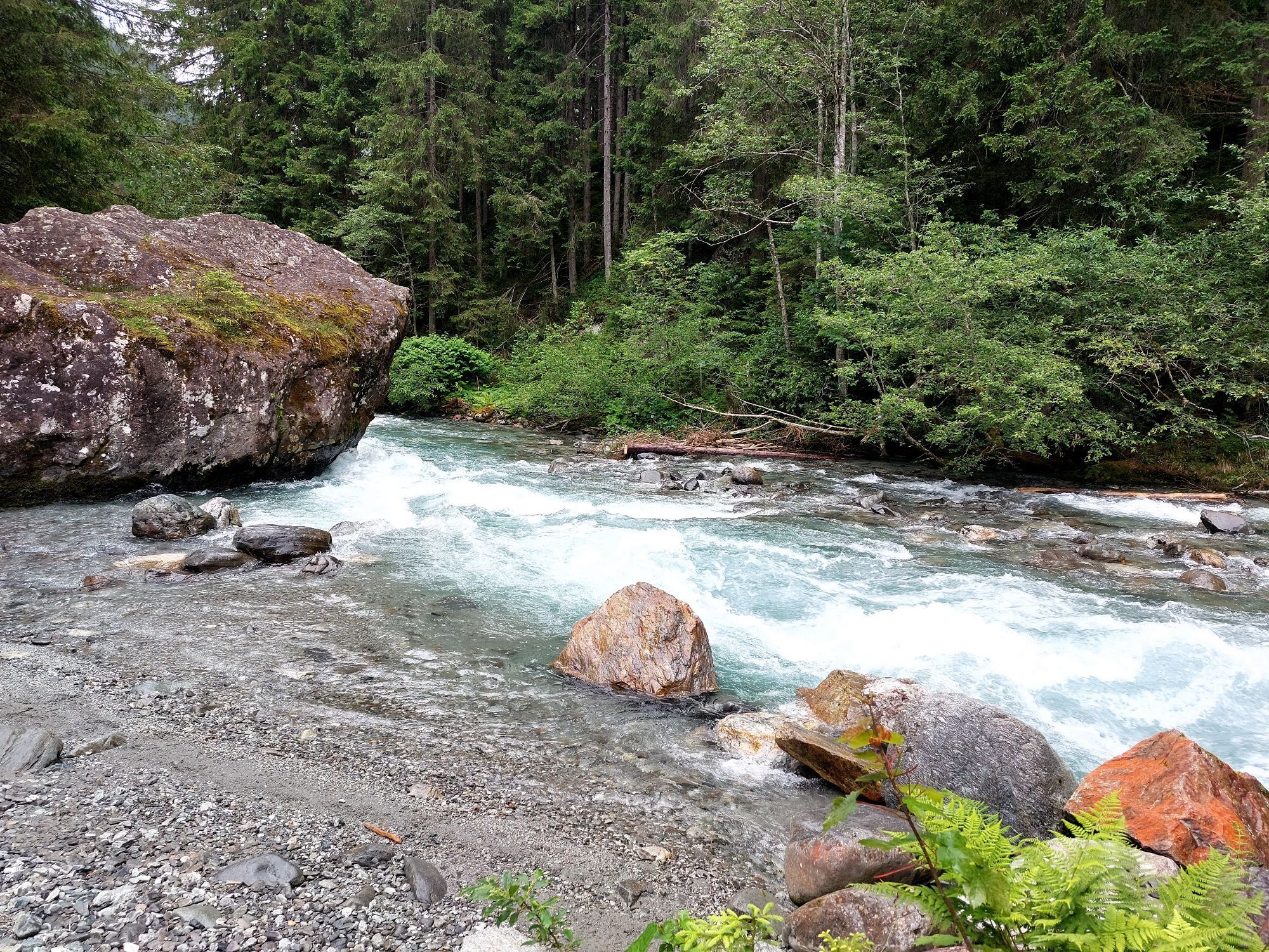
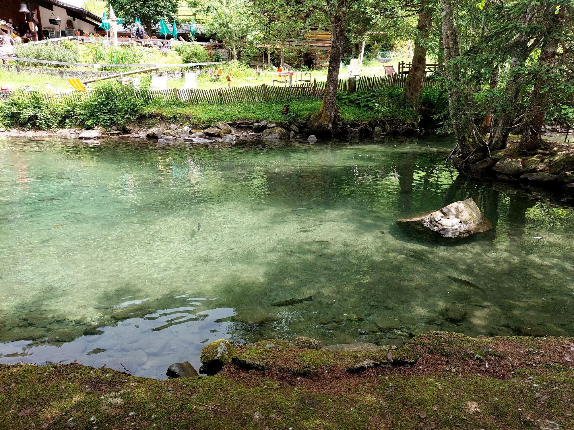
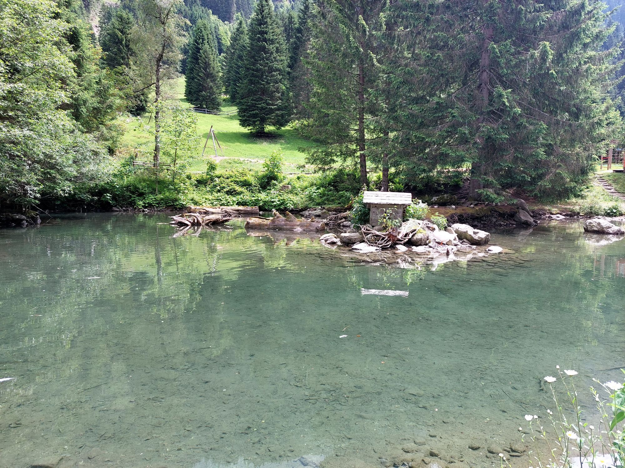
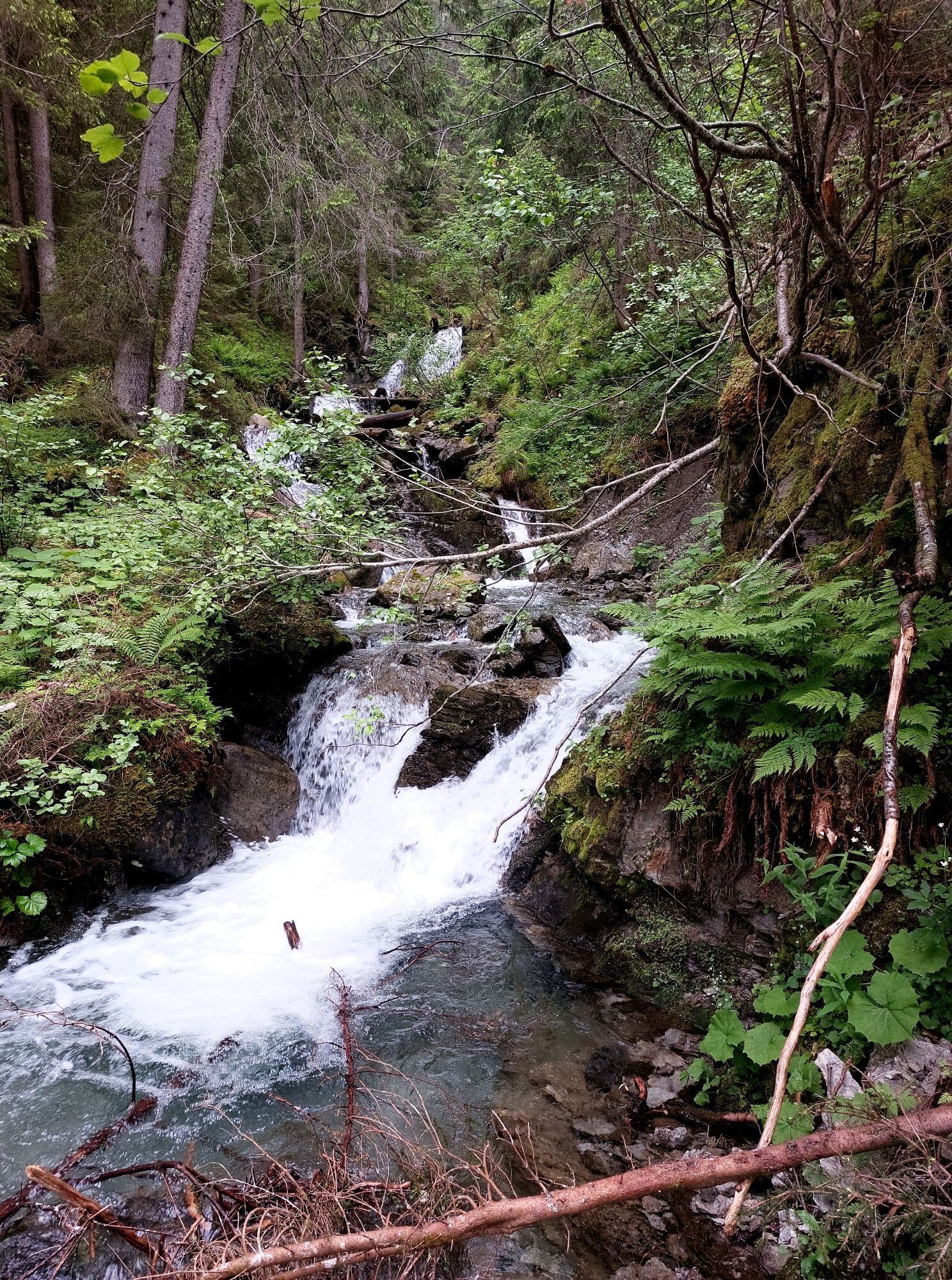
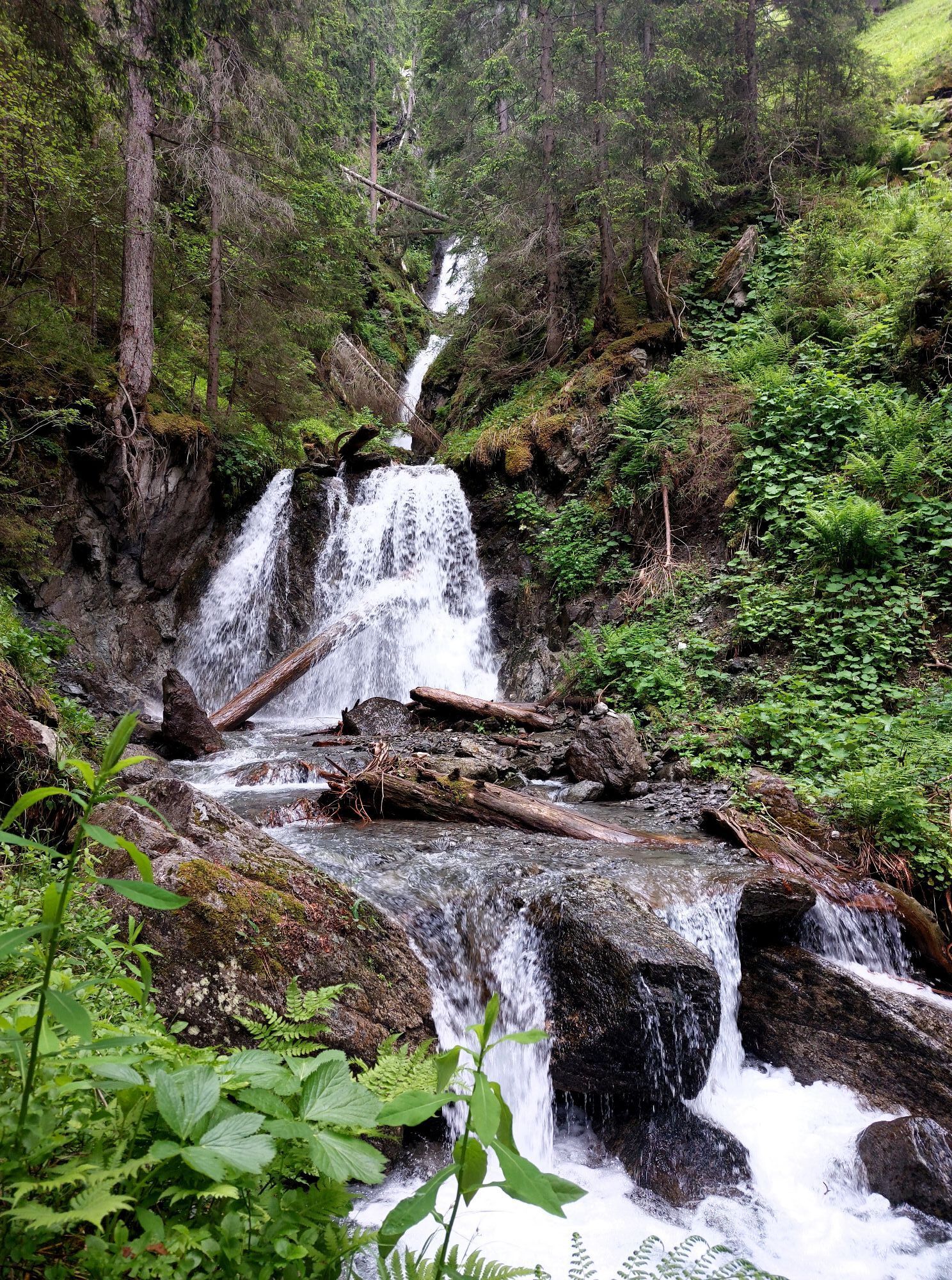
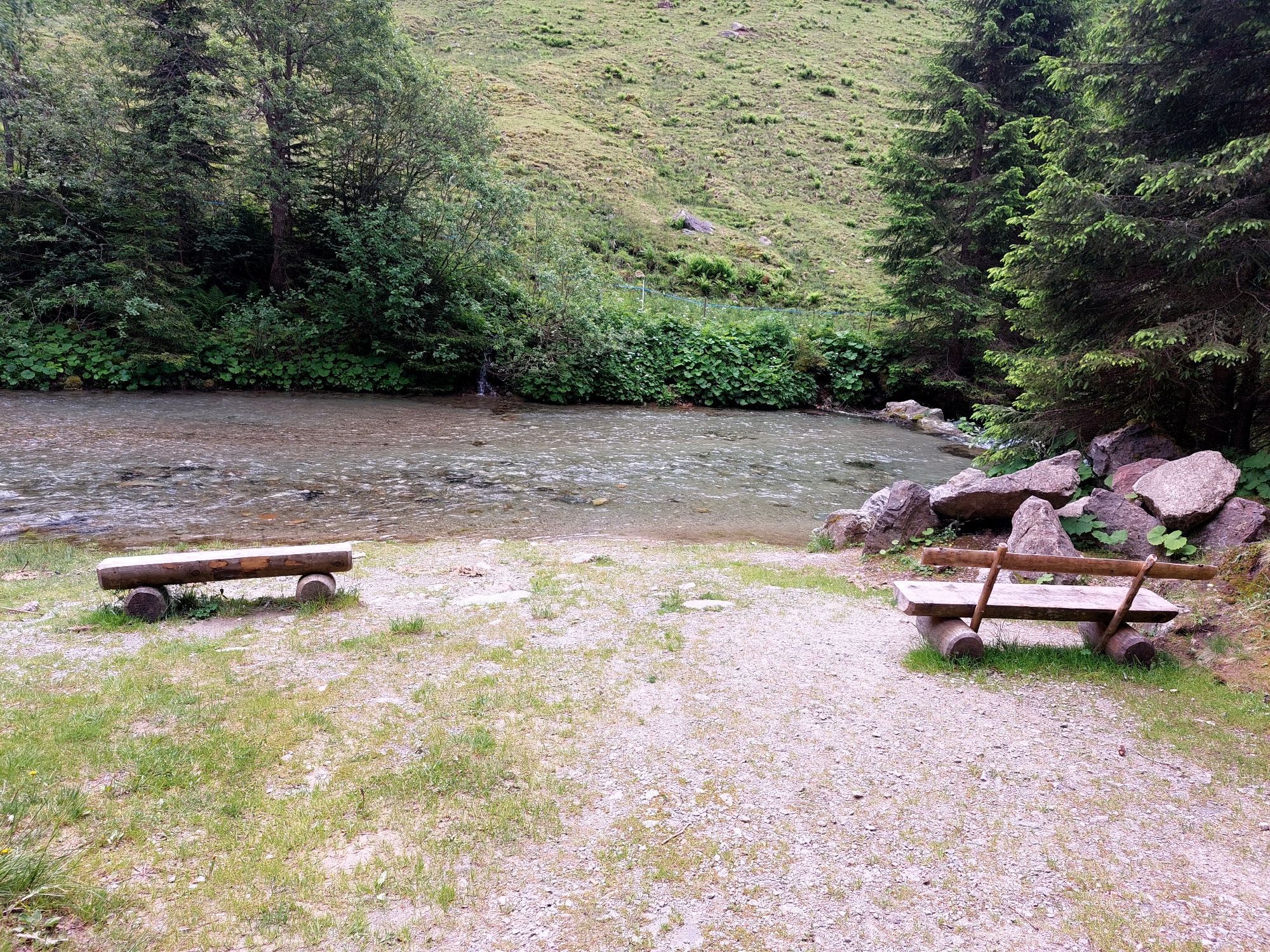
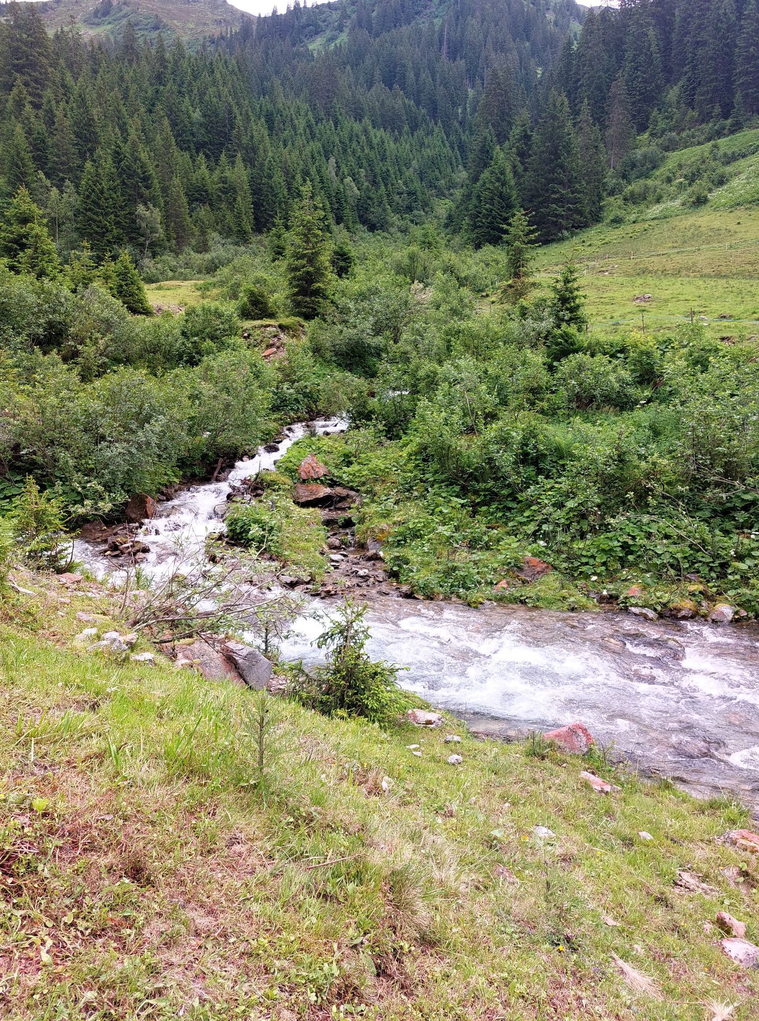
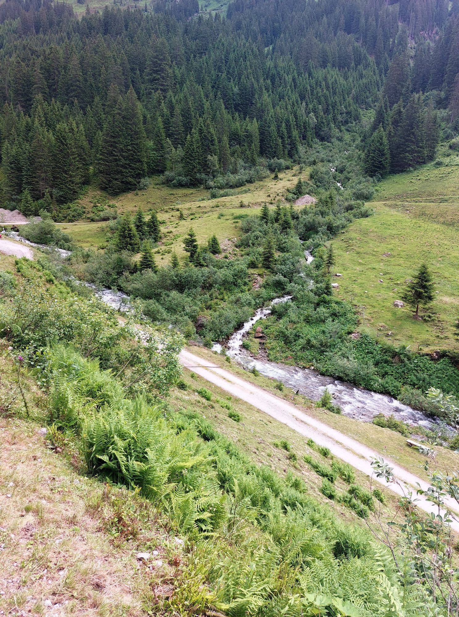
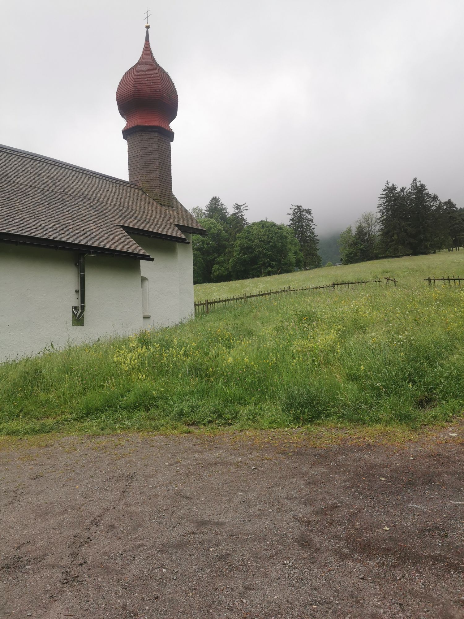
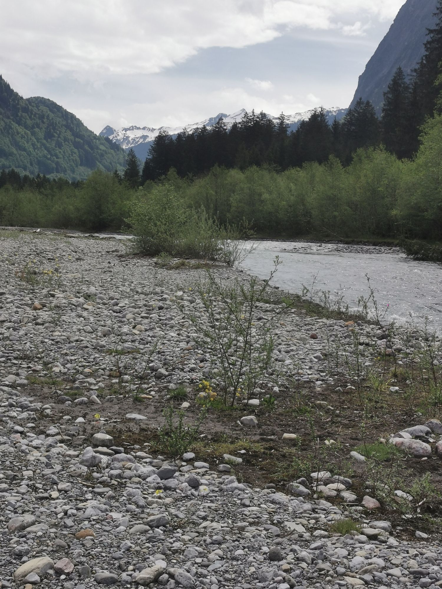
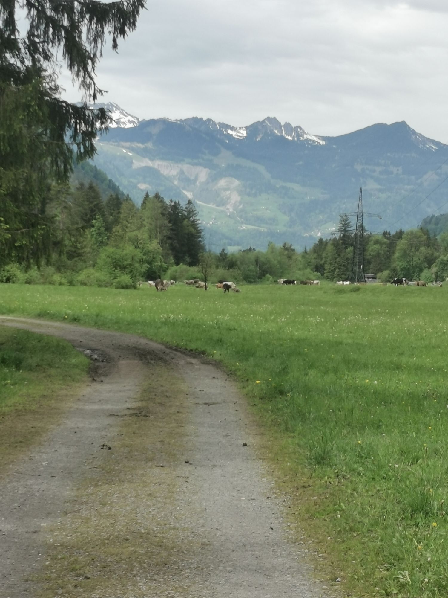
The route through the pristine Wasserstubental leads into the neighboring Klostertal and back again. After a steady, partly steep ascent through Silbertal and the Wasserstubental, you reach the Sonnenkopf....
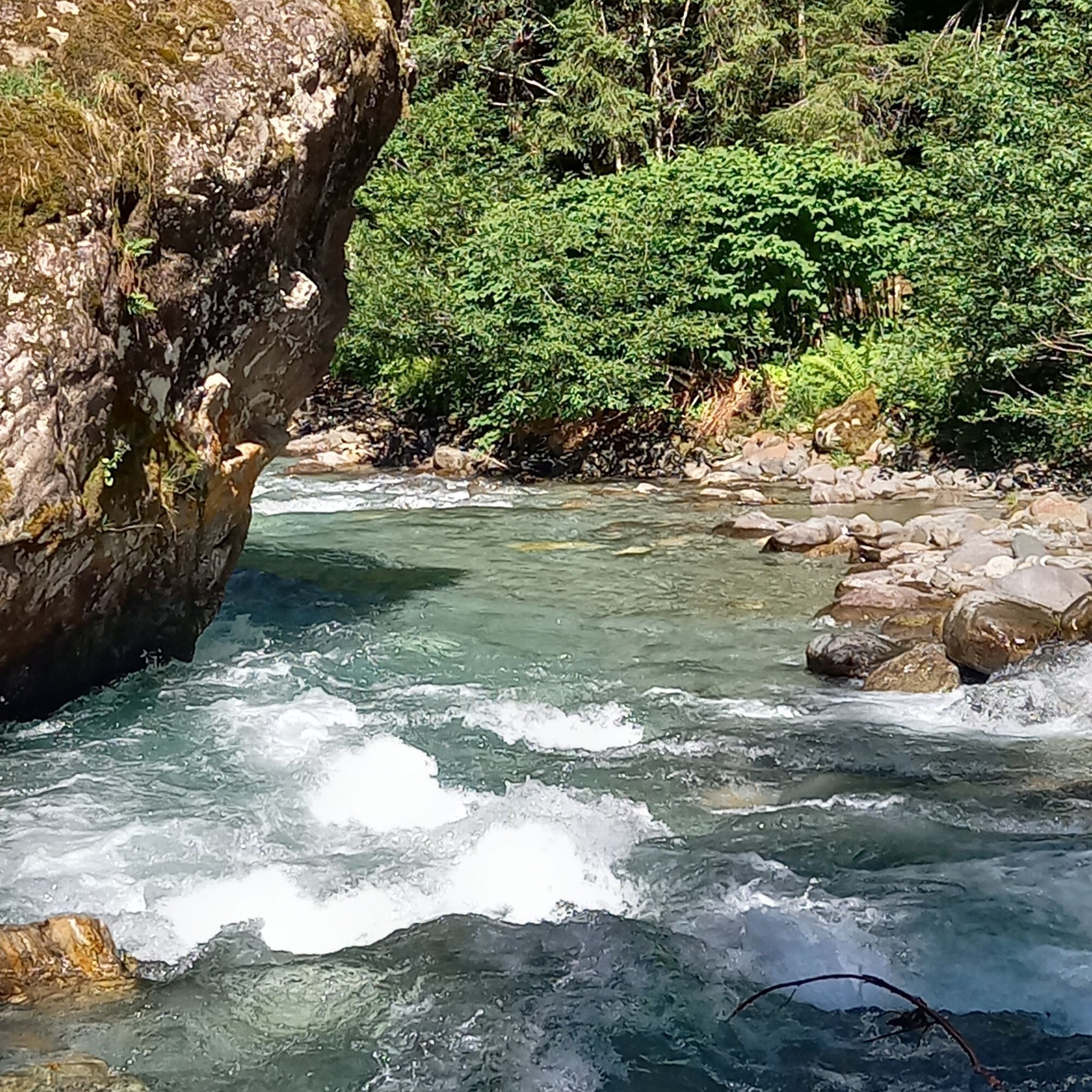
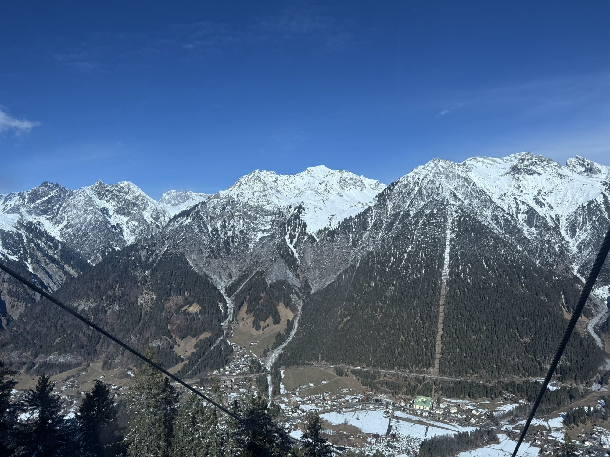
The route through the pristine Wasserstubental leads into the neighboring Klostertal and back again. After a steady, partly steep ascent through Silbertal and the Wasserstubental, you reach the Sonnenkopf. Here you are rewarded with a wonderful view of the surrounding mountain worlds before it goes back down into the Klostertal. Slightly downhill along the Alfenz stream, you recover from the altitude gained until you reach the turnoff to Montafon. The path leads back to the starting point at Aktivpark Montafon in Schruns-Tschagguns via the communities of Lorüns, St. Anton i. M., and Vandans.
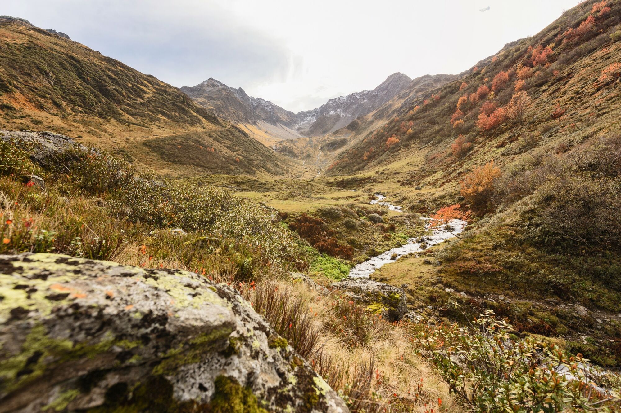


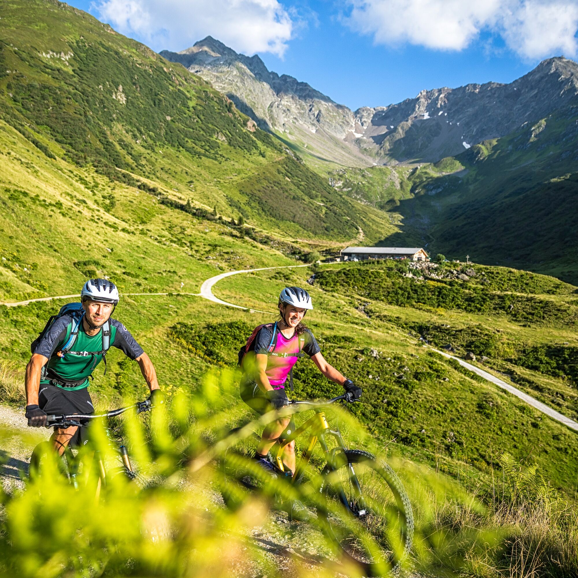
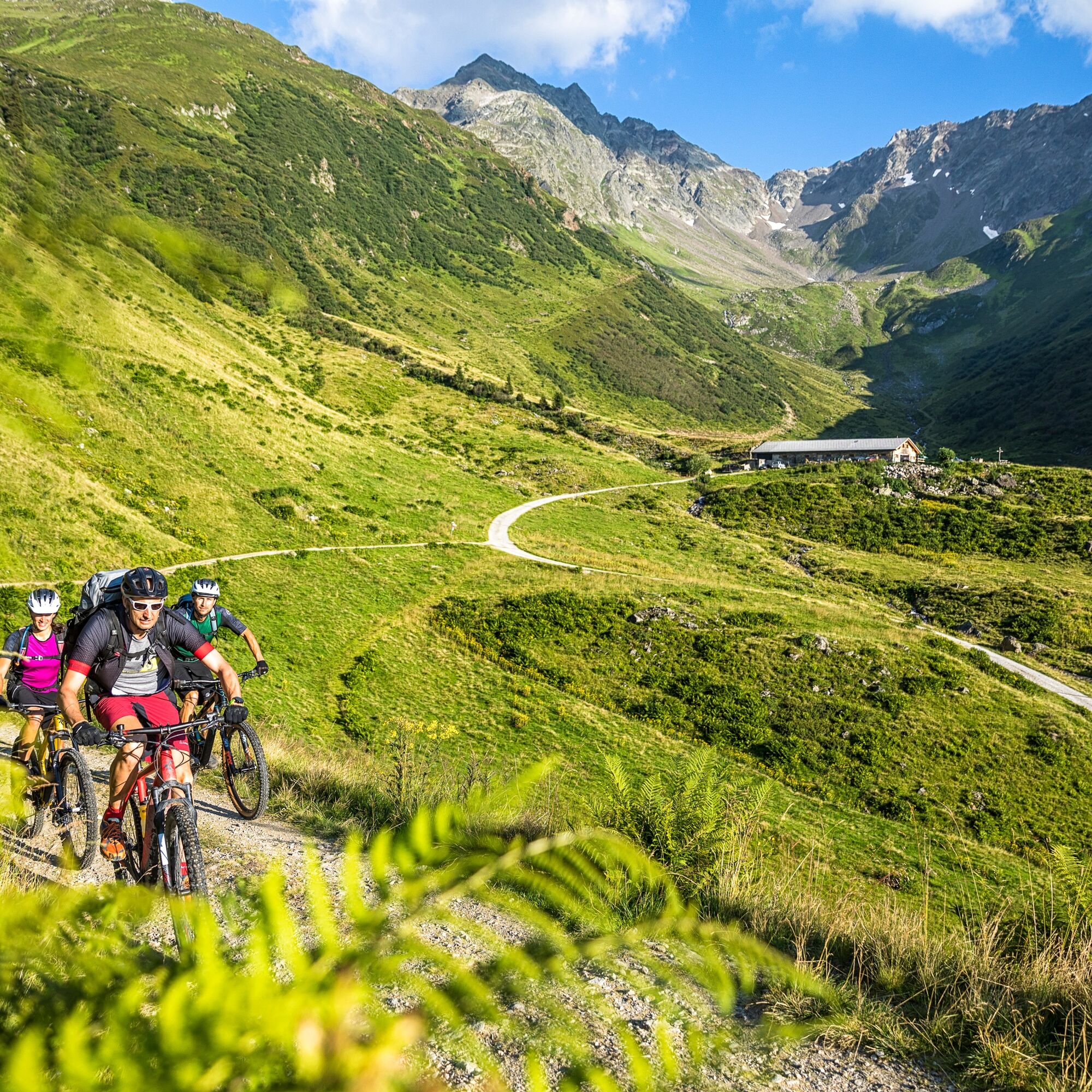
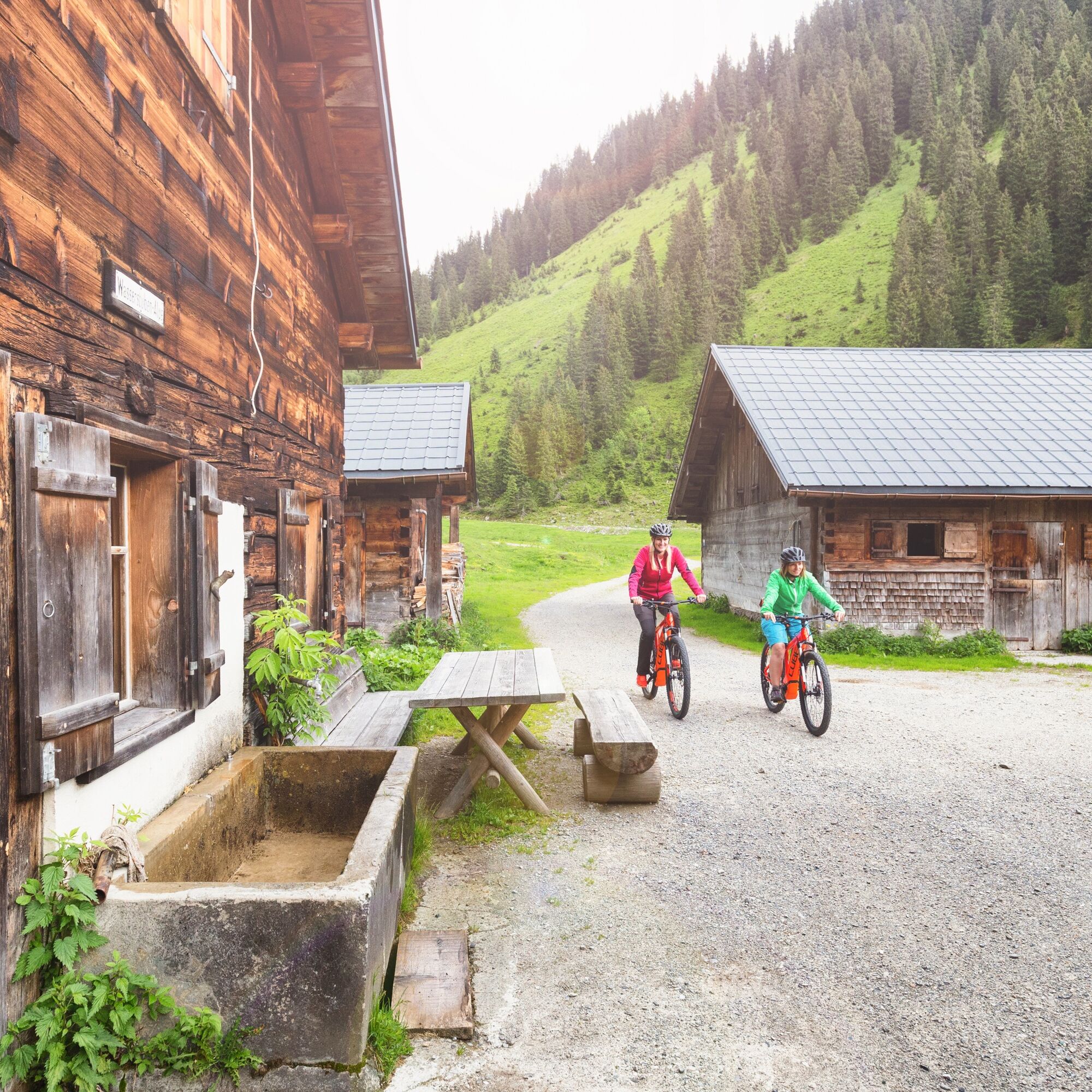
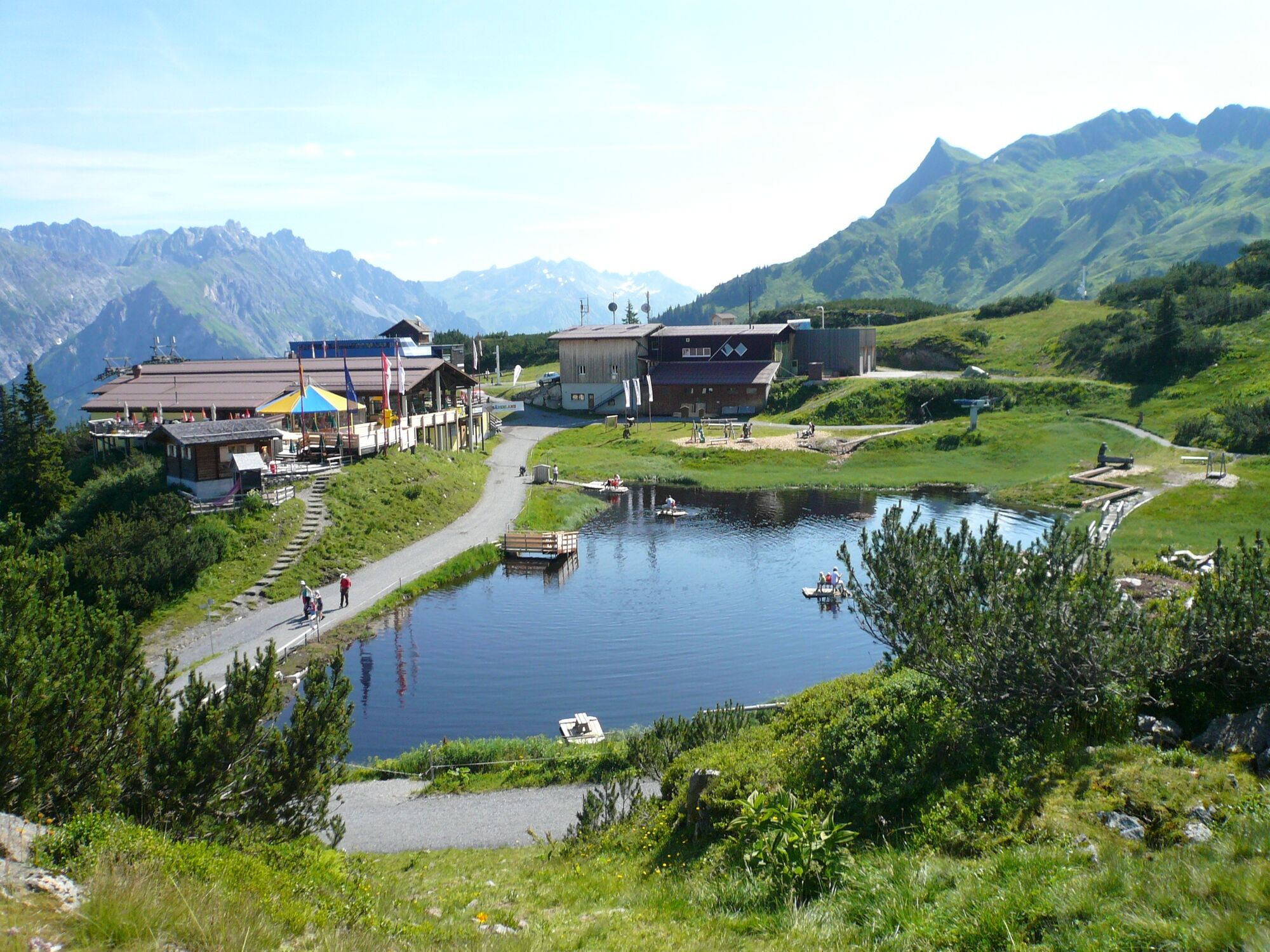

The first seven kilometers you ride on the road, first to Schruns and then further into the village Silbertal. Then you continue on forest roads, gently ascending to the inn Fellimännle and the snack station Hasahüsli. Now you have 1000 meters of elevation until the mountain restaurant Sonnenkopf ahead of you. From there, it goes downhill, first on forest paths to the valley station of the Sonnenkopf cable car and then gently downhill on bike paths along the Alfenz river to the turnoff to Montafon. Via the communities of Lorüns, St. Anton i. M., and Vandans, the path leads back to the starting point at Aktivpark Montafon.
Spare battery, charger, bicycle helmet, day bike backpack (approx. 20 liters) with rain cover, comfortable sports shoes, possibly bike shoes, weather-appropriate and durable layered clothing, possibly cycling jersey, possibly cycling gloves, air pump, bicycle tools, sun and rain protection, snacks and drinking water, water bottle and suitable holder, first-aid kit, pocket knife, mobile phone, possibly mobile phone holder for the handlebar, possibly headlamp and reflectors, maps
EMERGENCY CALL: 144
112 European emergency number (works with any mobile phone/network)
www.vorarlberg.travel/sicherheitstipps
Take the A14 to the Bludenz/Montafon exit and continue on Montafonerstraße L188 to Schruns. The federal road L188 leads you directly to Aktivpark Montafon, which is located on the right side of the road.
Just leave your car behind.
The regional buses run throughout Montafon. The main lines run every half hour from Schruns station.
Bus stop at the start/finish of the route: Schruns Sports Ground/Aktivpark / line 2a, line 2b
Timetable: www.vmobil.at
Arrival by train to Montafon
The Montafon Railway runs every half hour from Bludenz station. There are also direct connections from Lindau (D) and Bregenz.
Timetable: www.oebb.at
Aktivpark Montafon in Schruns-Tschagguns
3
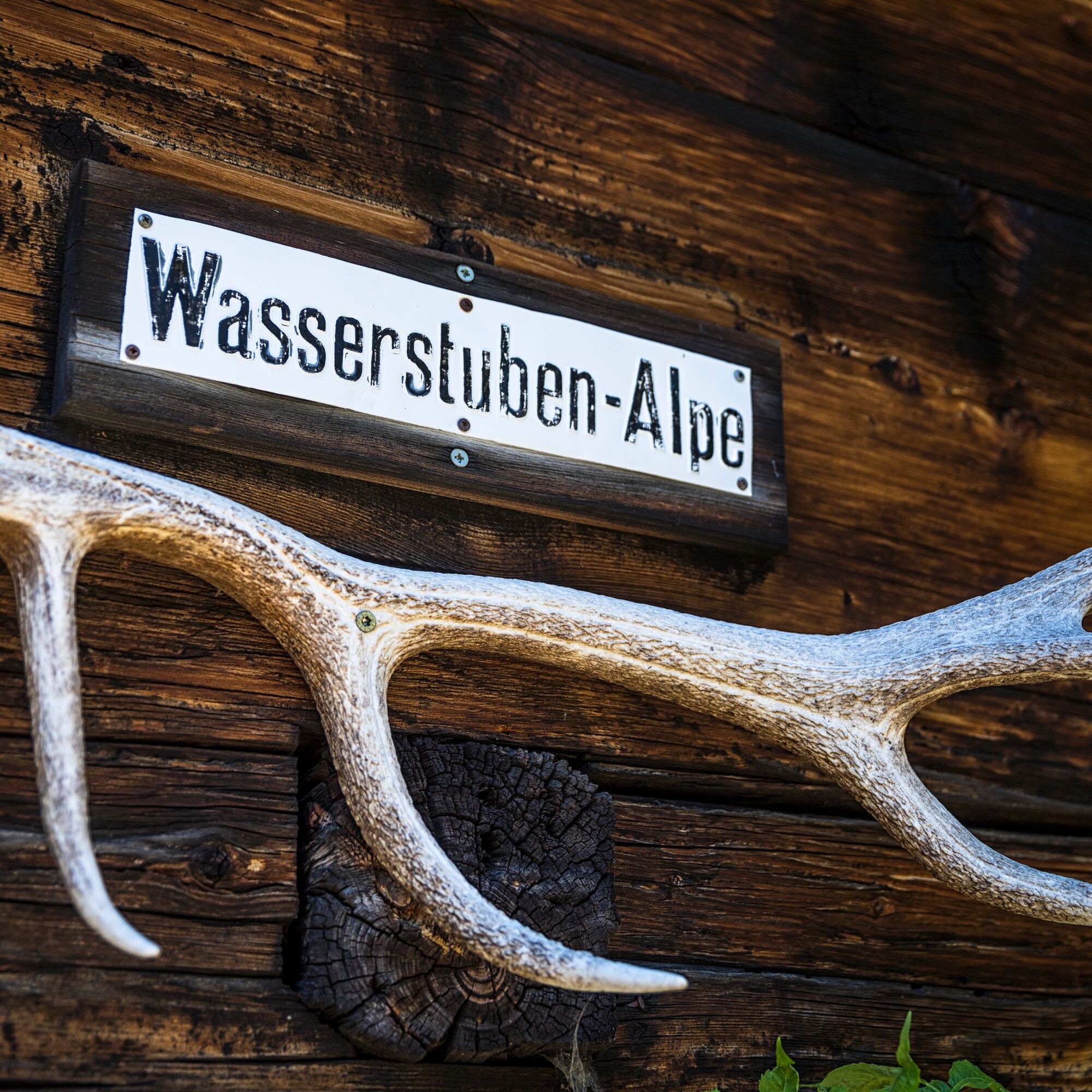
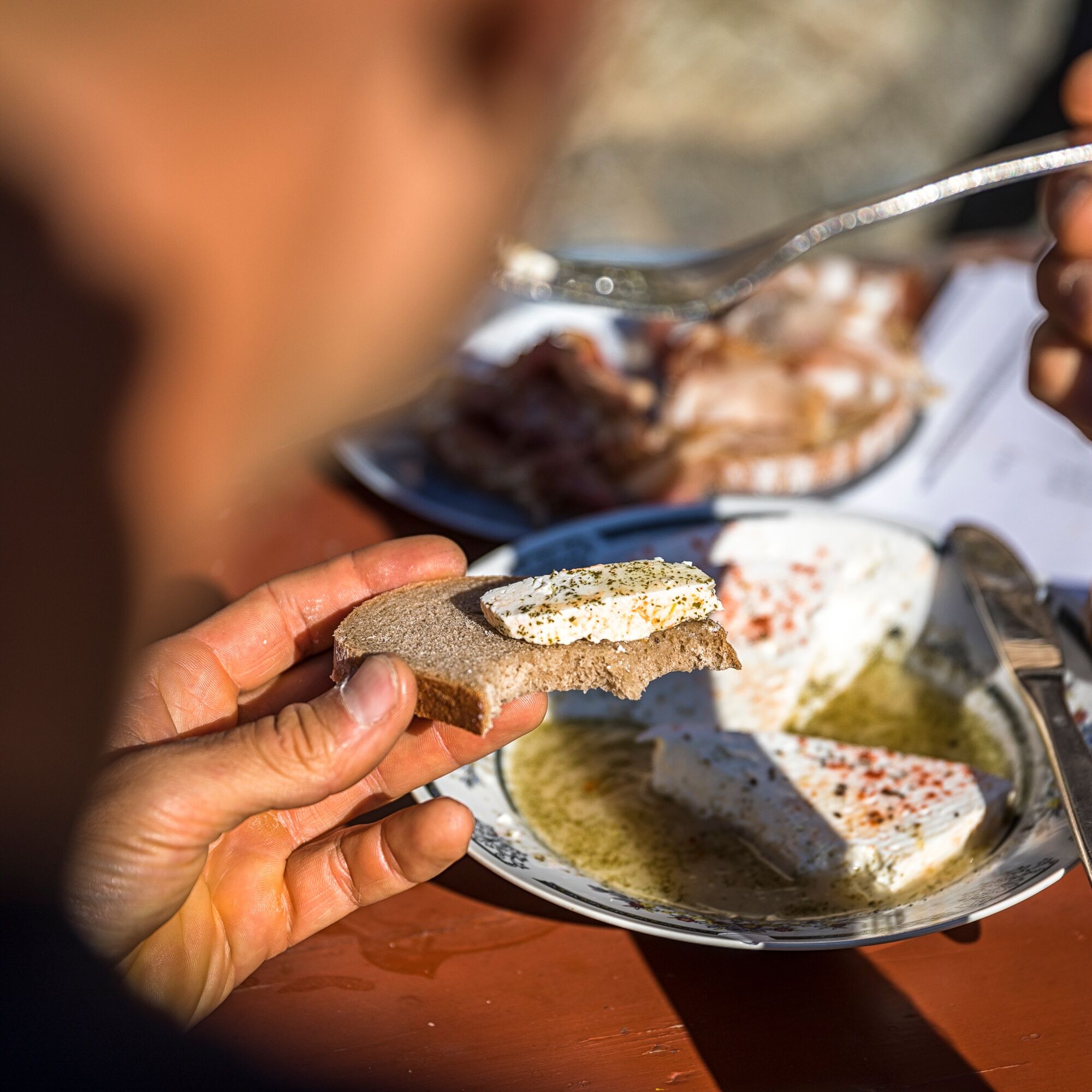
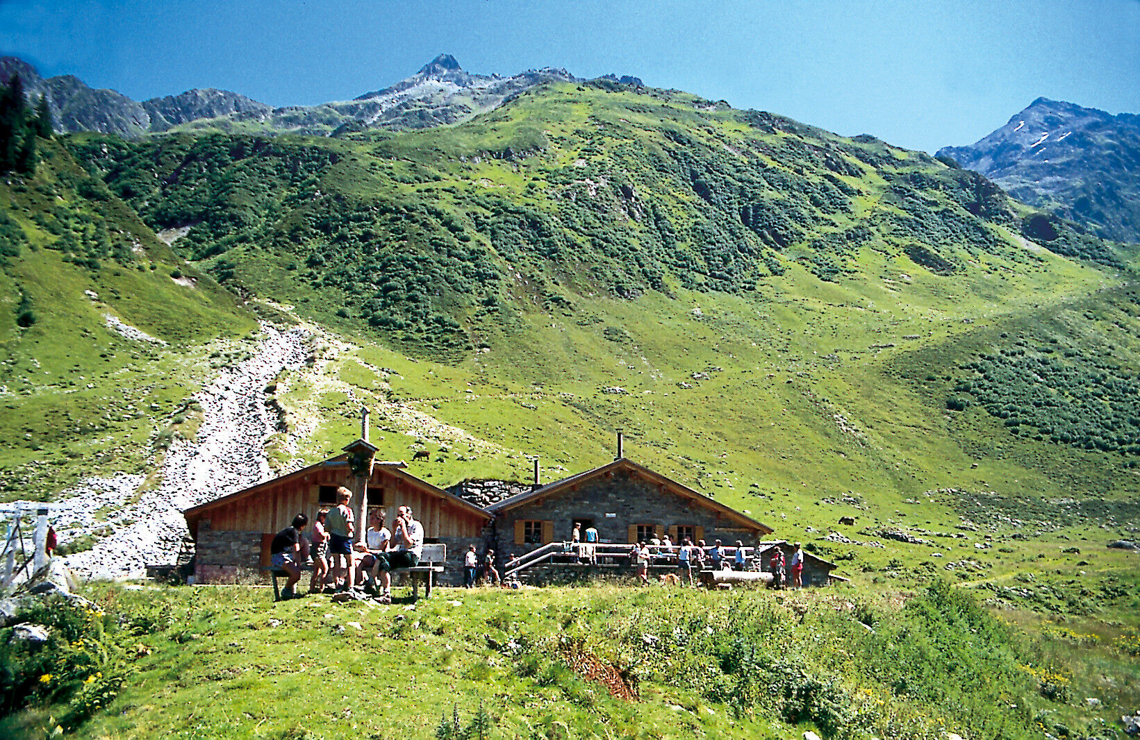
At the Obere Wasserstubenalpe you can taste traditionally made Montafoner Sura Kees and alpine butter while enjoying the silence of the mountains. The alp is only open during the summer months (approximately mid-June to mid-September).
Free activity cards for e-mountain biking are available at all Montafon tourism offices.

Webové kamery z prehliadky
-
Bergstation Sonnenkopf
-
Hochjoch Bahn Bergstation
-
Grüneck Bergstation
-
Montafoner Kristbergbahn Bergstation
-
Panoramagasthof Kristberg
-
Panoramagasthof Kristberg
-
Kristberglift mit St. Agatha Kirche
-
Kinderland Skischule Silbertal
-
Matschwitz Mittelstation
-
Bergstation Hochalpila Bahn
-
Silbertal Dorf
-
Innerberg
-
Sücka Schlepplift Talstation
-
Berghof Golm
-
Golfclub Braz
-
Golm - Matschwitz
-
Silvretta-Montafon - Panorama Bahn
-
Golm - Hüttenkopfbahn
-
Bartholomäberg
-
Bergstation Sonnenkopf
-
Bergstation Sonnenkopf
-
Bergstation Sonnenkopf
-
Bergstation Sonnenkopf
-
Tschagguns
-
Schruns
-
Bartholomäberg - Ferienhotel Fernblick
-
Wormserhütte
-
Wormserhütte
-
Bludenz
-
Kapellbahn
-
Schlepplift Innerbach
-
Bludenz Zentrum
-
Bartholomäberg - Ferienhotel Fernblick
-
Bartholomäberg - Ferienhotel Fernblick
-
Bartholomäberg - Ferienhotel Fernblick
Získajte prehľad
Vždy naživo na mieste s viac ako 9 500 webovými kamerami. bergfex Ako používateľ Pro si teraz môžete pozrieť príslušné webové kamery pre mnohé zájazdy v aplikácii zájazdy z. Môžete si tak priamo prezerať aktuálne podmienky.

Obľúbené výlety v okolí
-
5,0
Ski tour to the Lindauer Hut (1,744 m)
svetloSkitour 14,0 km -
5,0
Bürs, Bürserschlucht Bürs, Vorarlberg
strednáTuristika 5,31 km -
4,4
Golm-Rundwanderweg im Rätikon
strednáTematická trasa 7,28 km -
4,6
Over the historic mine and Fritzensee to Rellseck
strednáTuristika 7,25 km -
4,3
Golmerbahn Bergstaion Grüneck - Golmer Höhenweg - Geißspitze - Lindauer Hütte - Latschau
strednáTuristika 11,5 km -
4,7
Kristberg - Wasserstubental - Silbertal
svetloTuristika 13,8 km -
4,9
Alpgues Runde
strednáTuristika 9,21 km -
3,0
Bergstation Grüneck Golmerbahn - Alpe Latschätz - Lindauer Hütte - Latschau
svetloTuristika 11,1 km -
3,3
Dalaas - Freiburgerhütte
strednáTuristika 8,40 km -
4,7
Muttersberg - Fraßenhütte - Fraßen - Tiefenseesattel Nüziders, Österreich
strednáTuristika 10,1 km
Turistika a stopovanie


Nenechajte si ujsť ponuky a inšpiráciu na ďalšiu dovolenku
Vaša e-mailová adresa bol pridaný do poštového zoznamu.





