


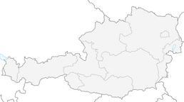


Montafon - Brandnertal Tour (Lünersee Tour)

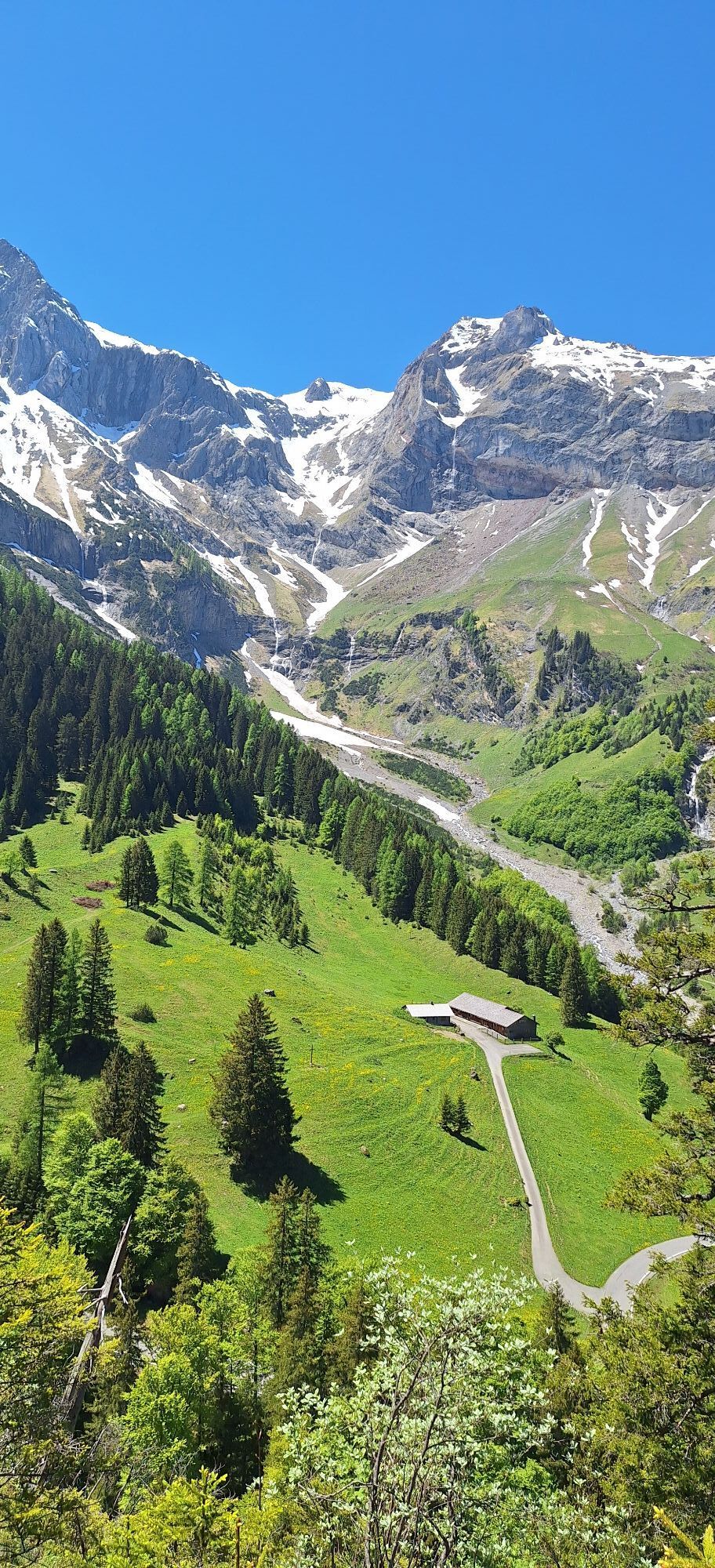
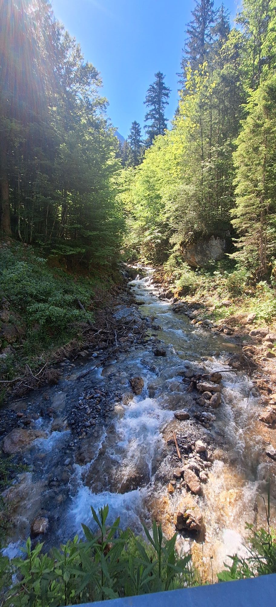
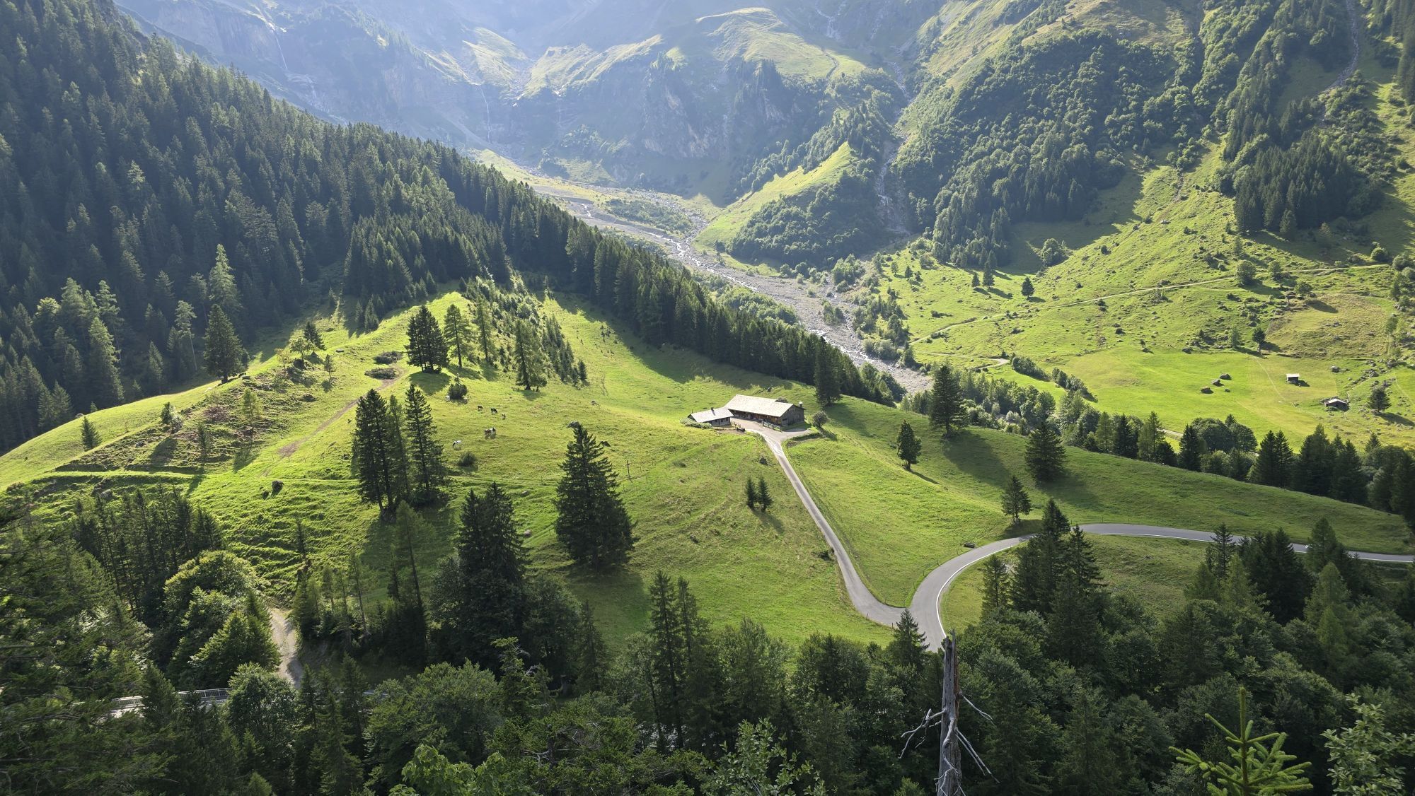
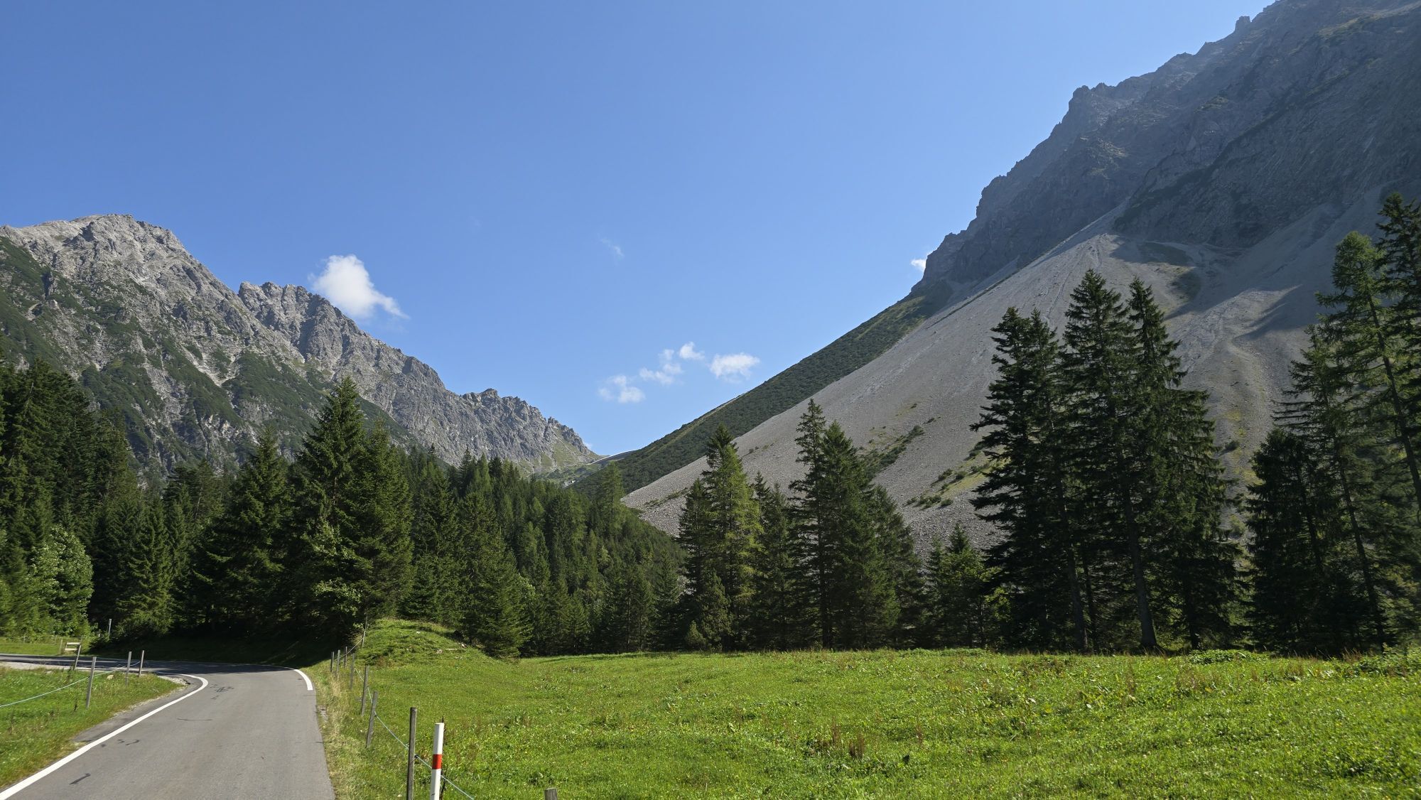
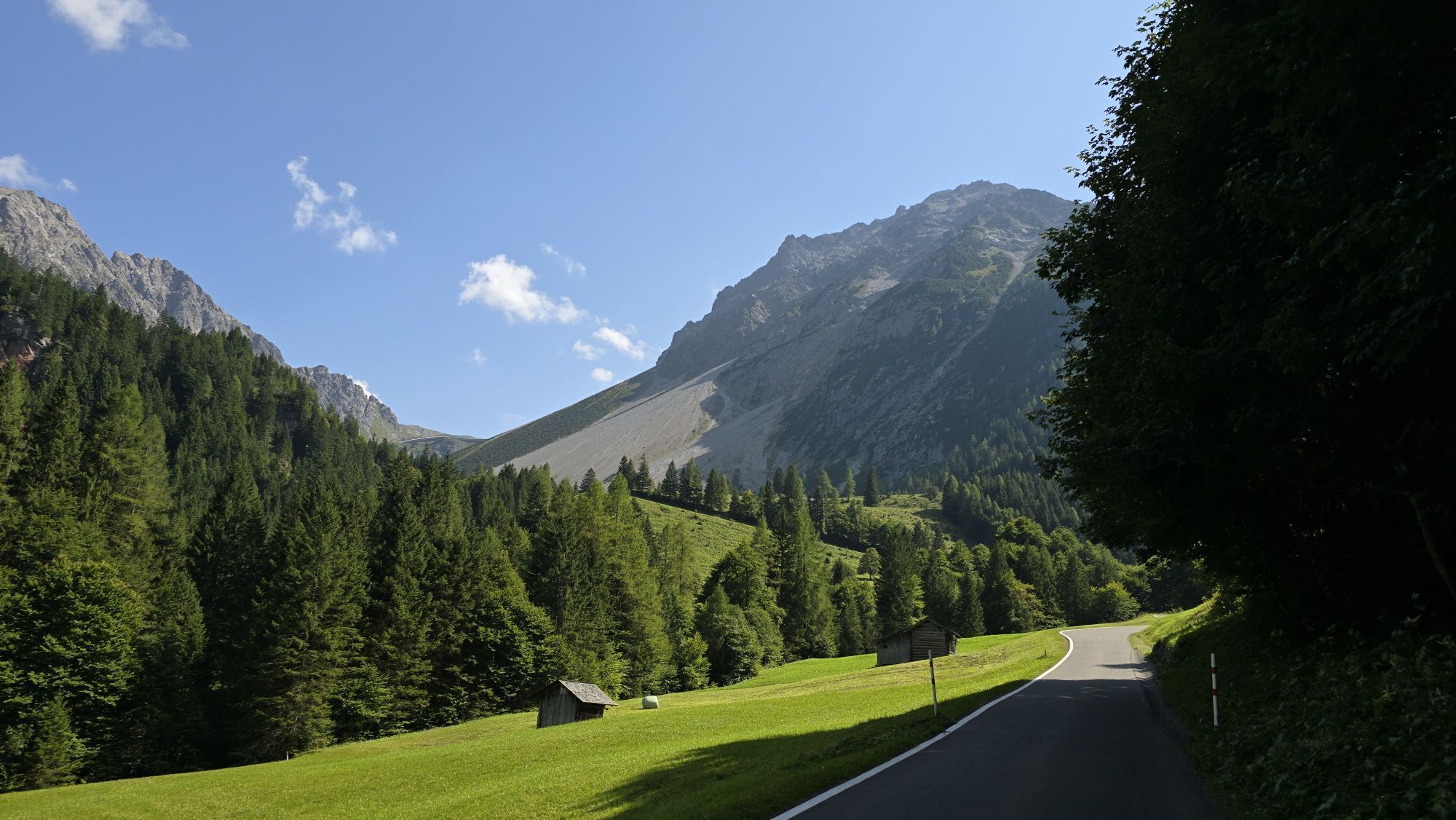
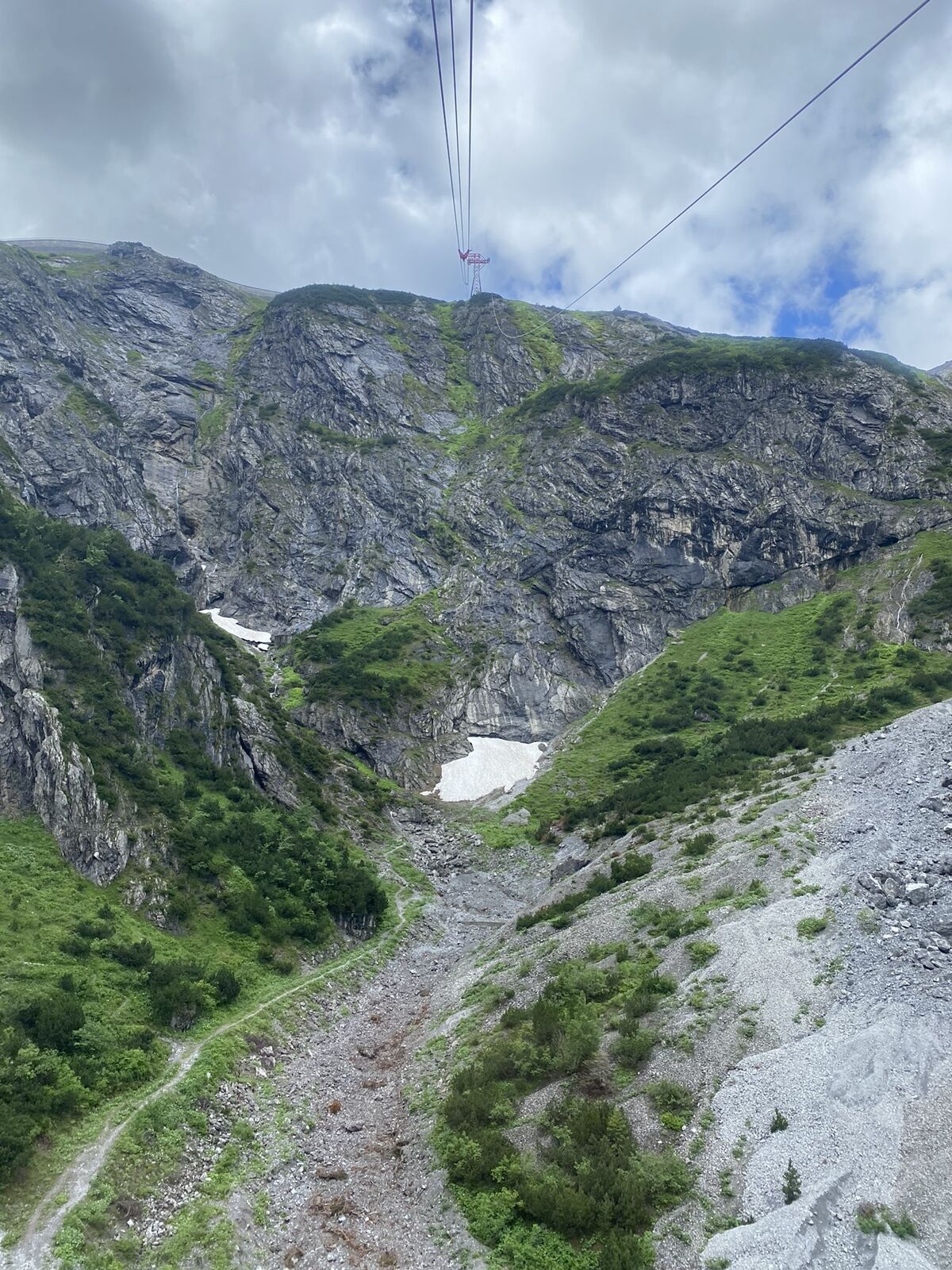
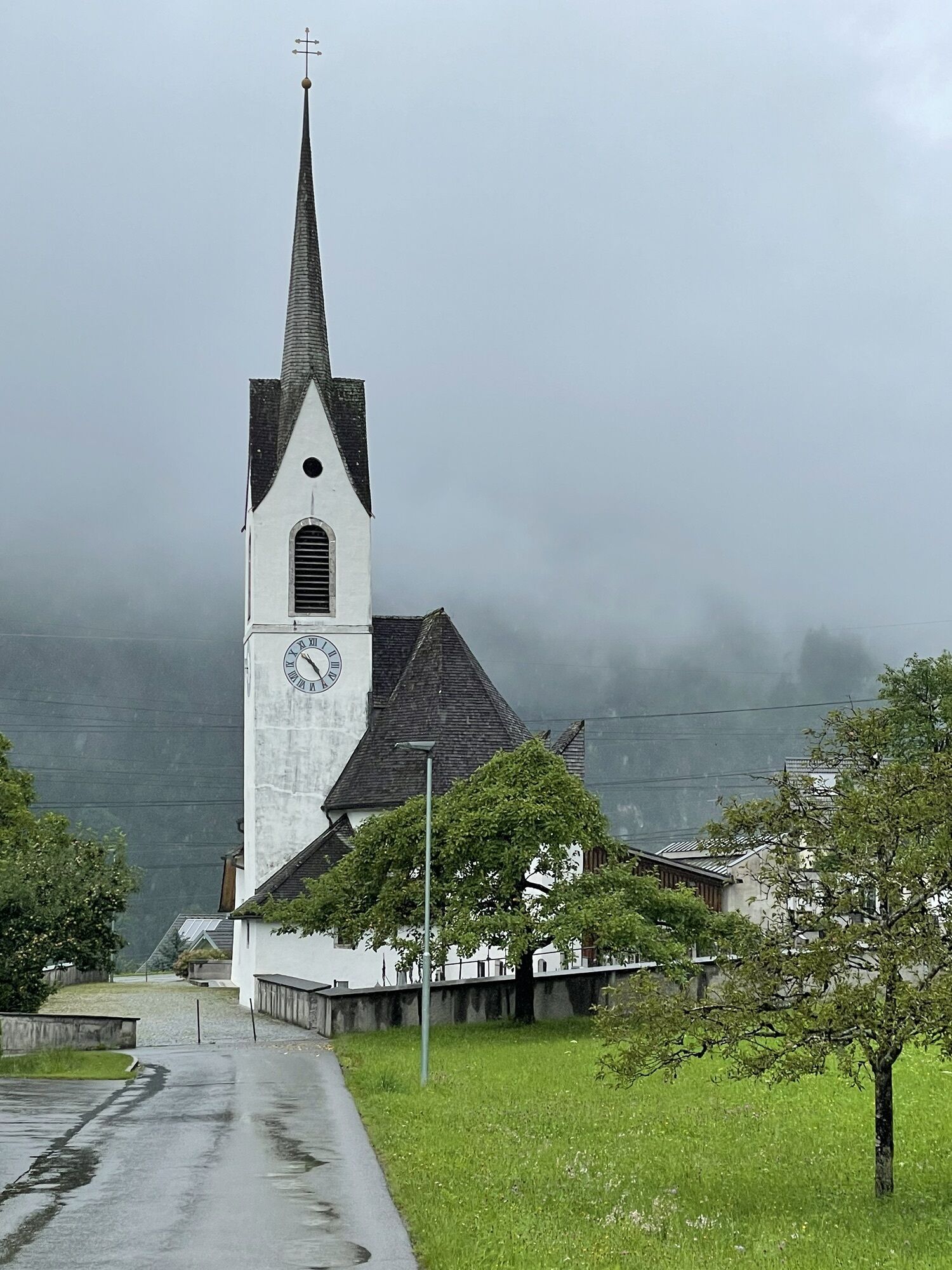
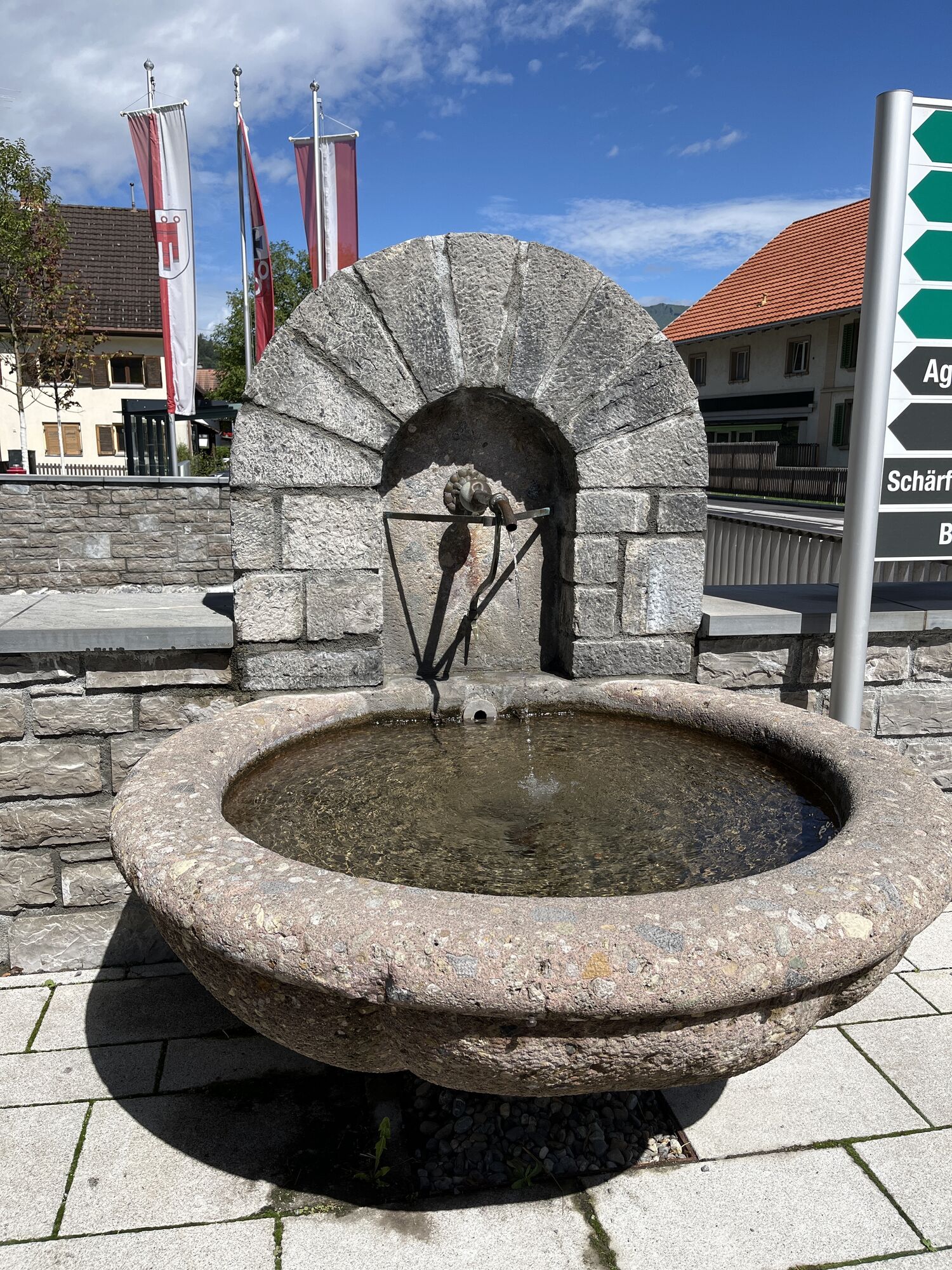
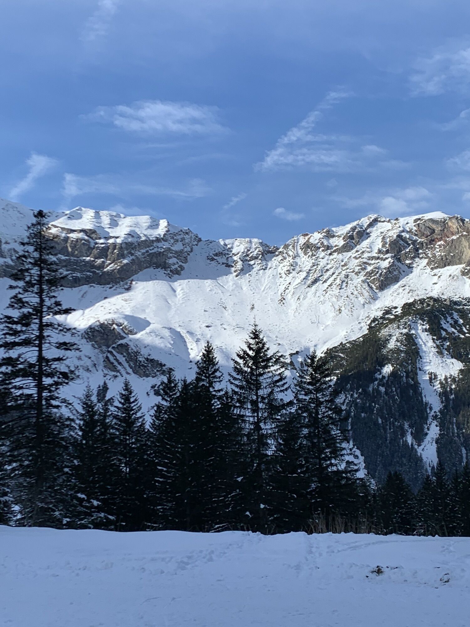
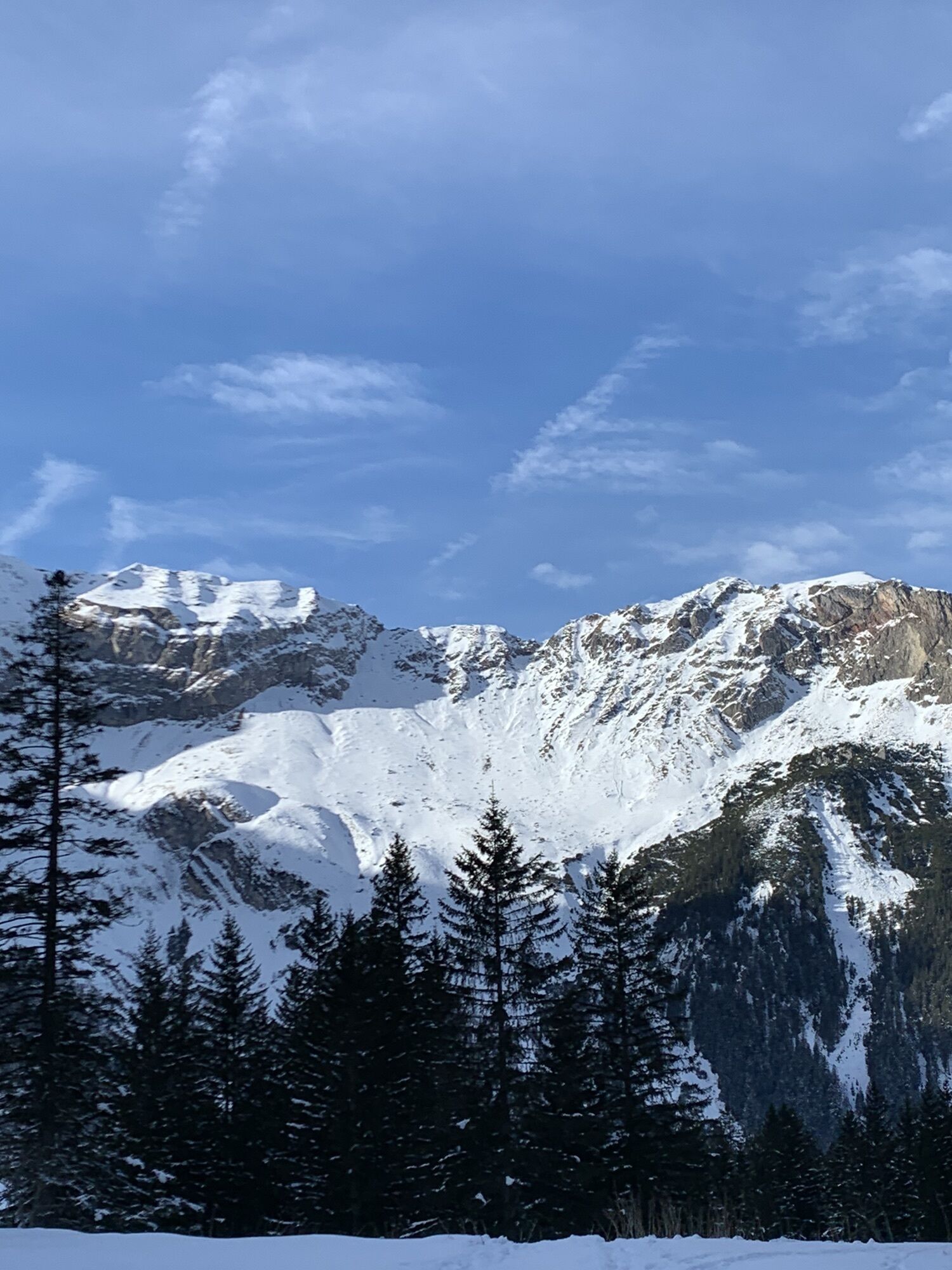
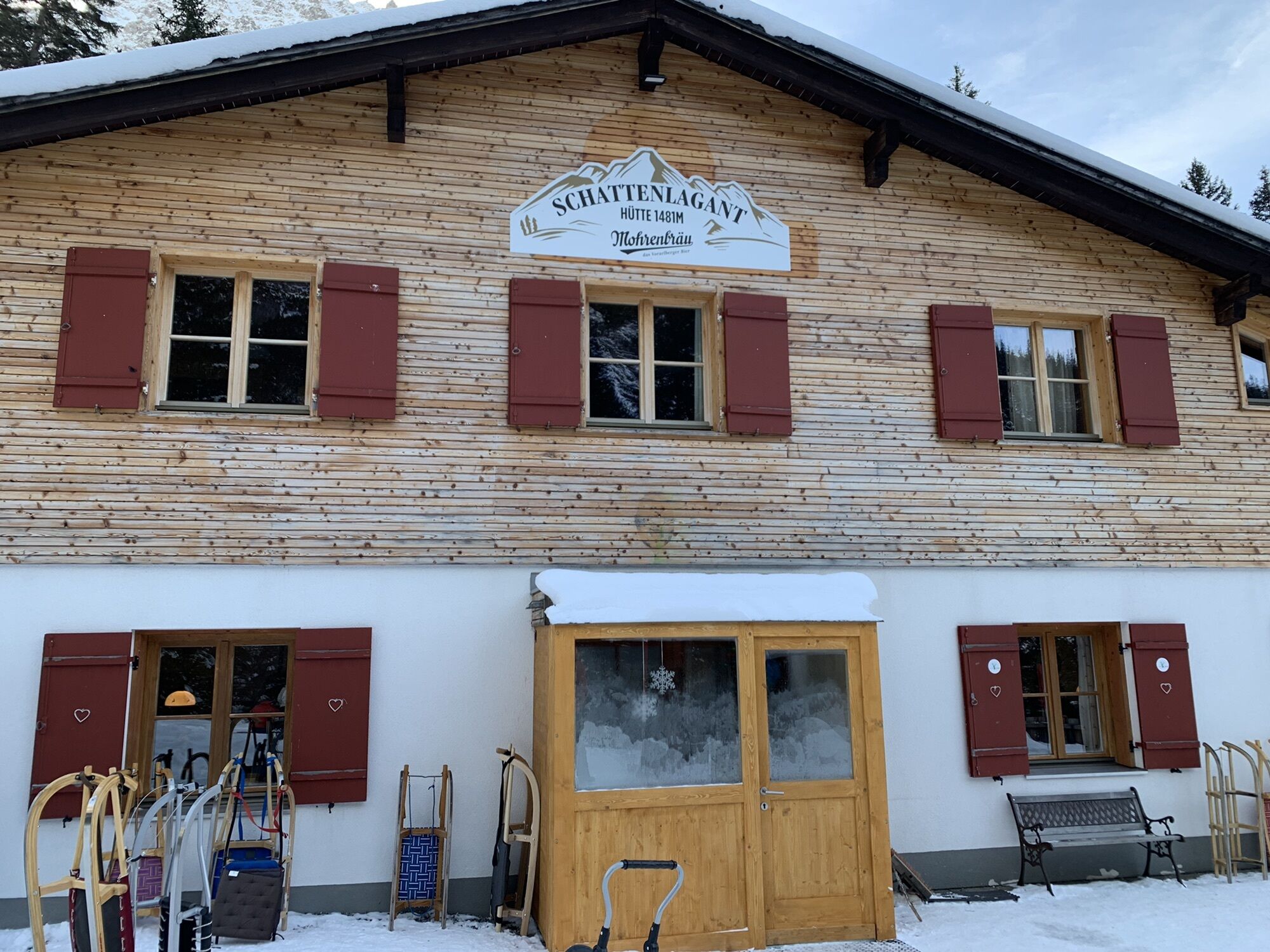
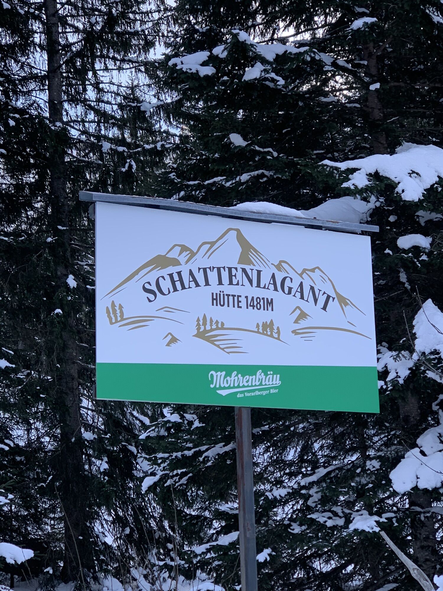
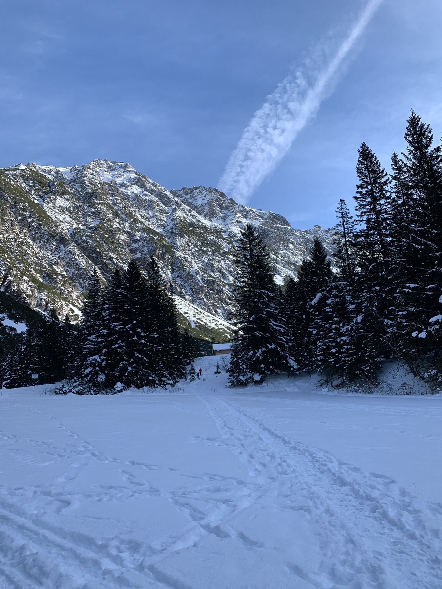
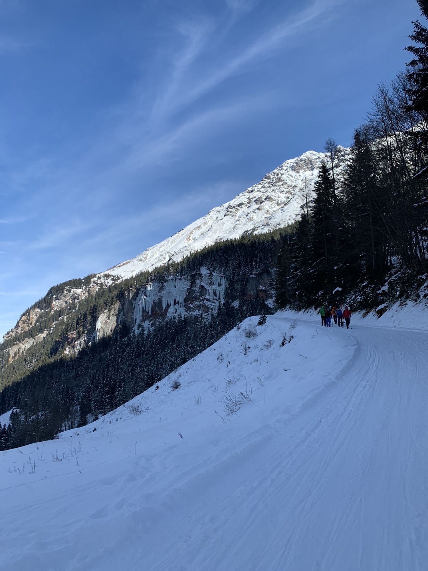
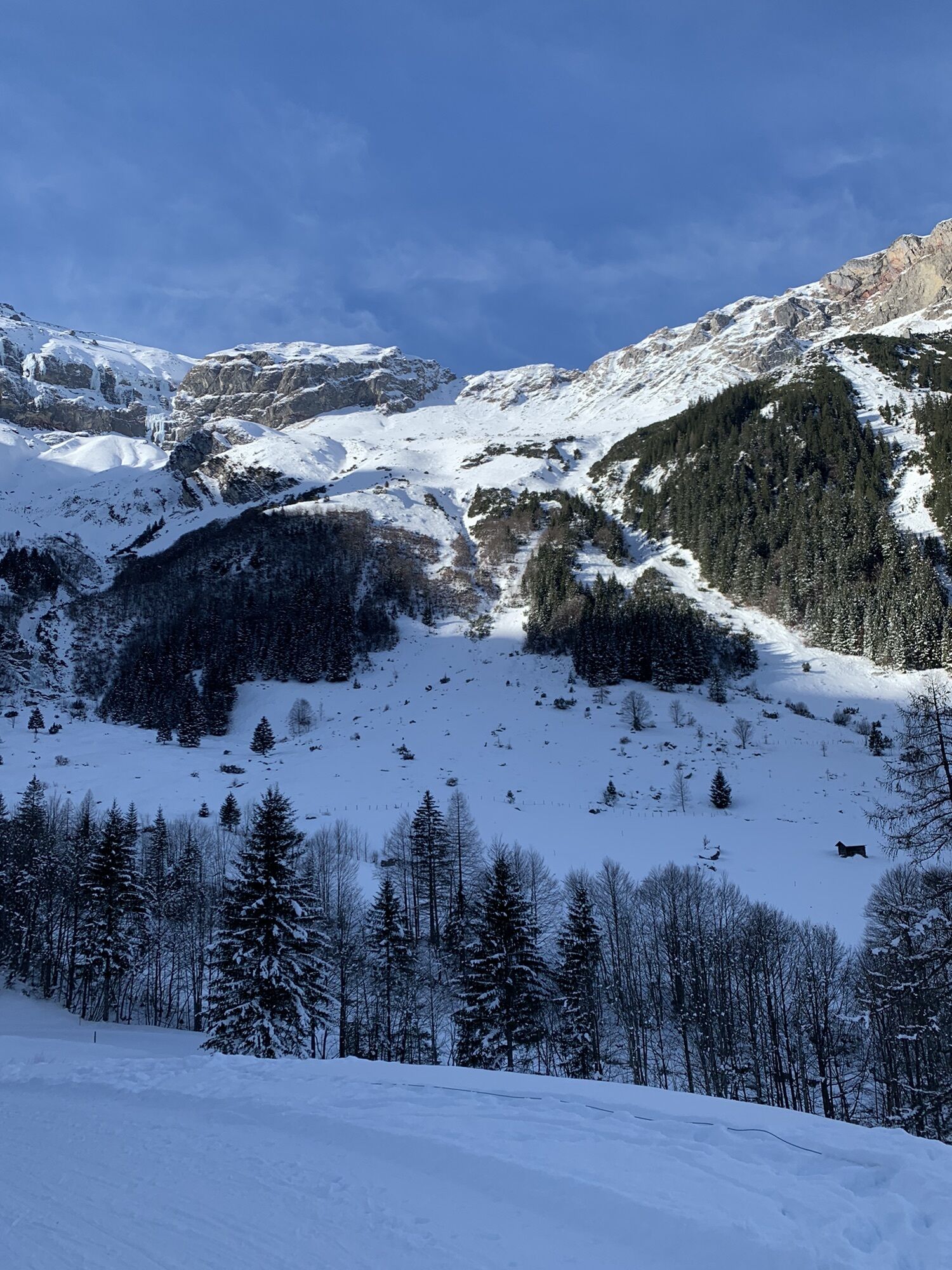
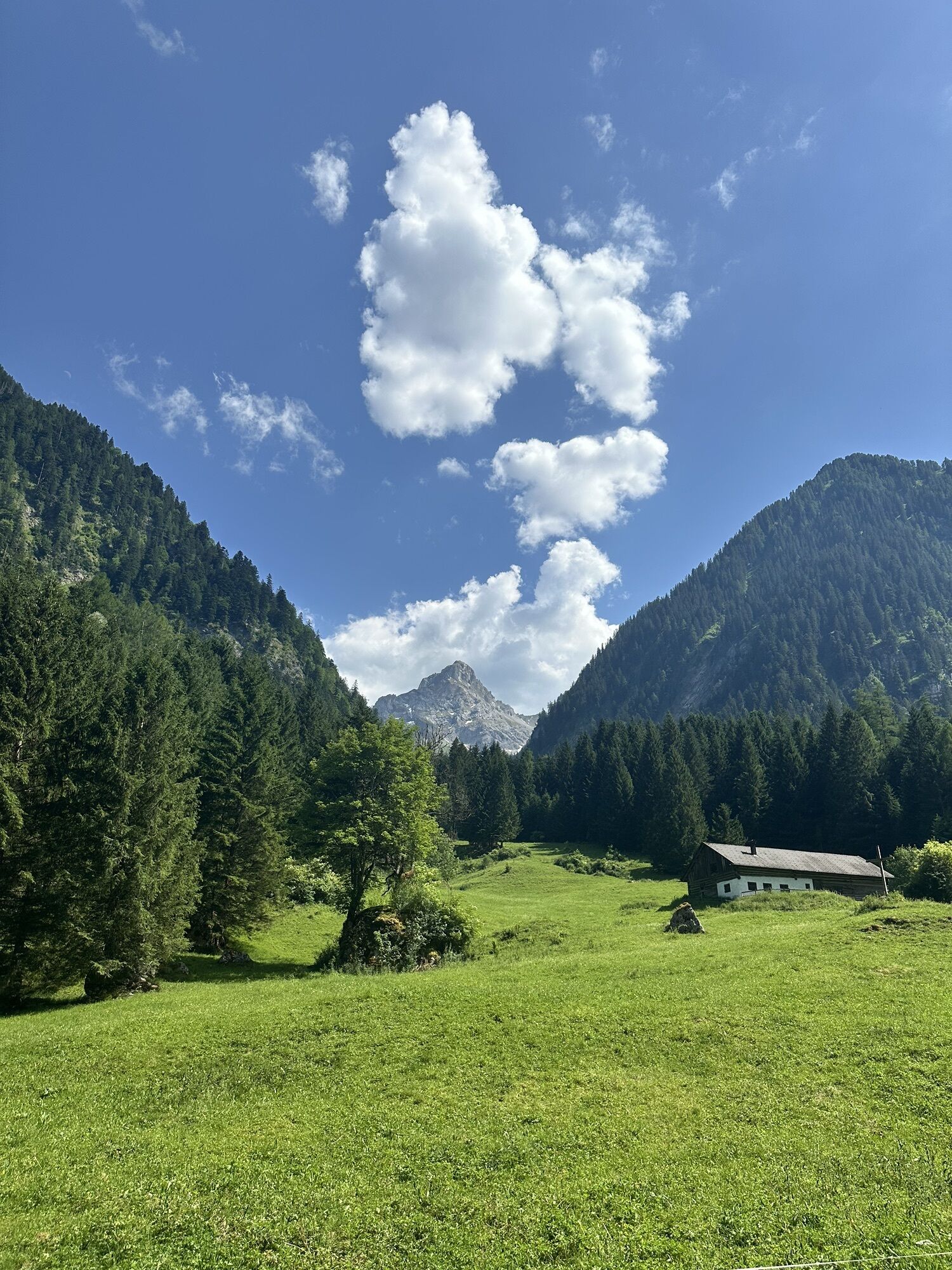
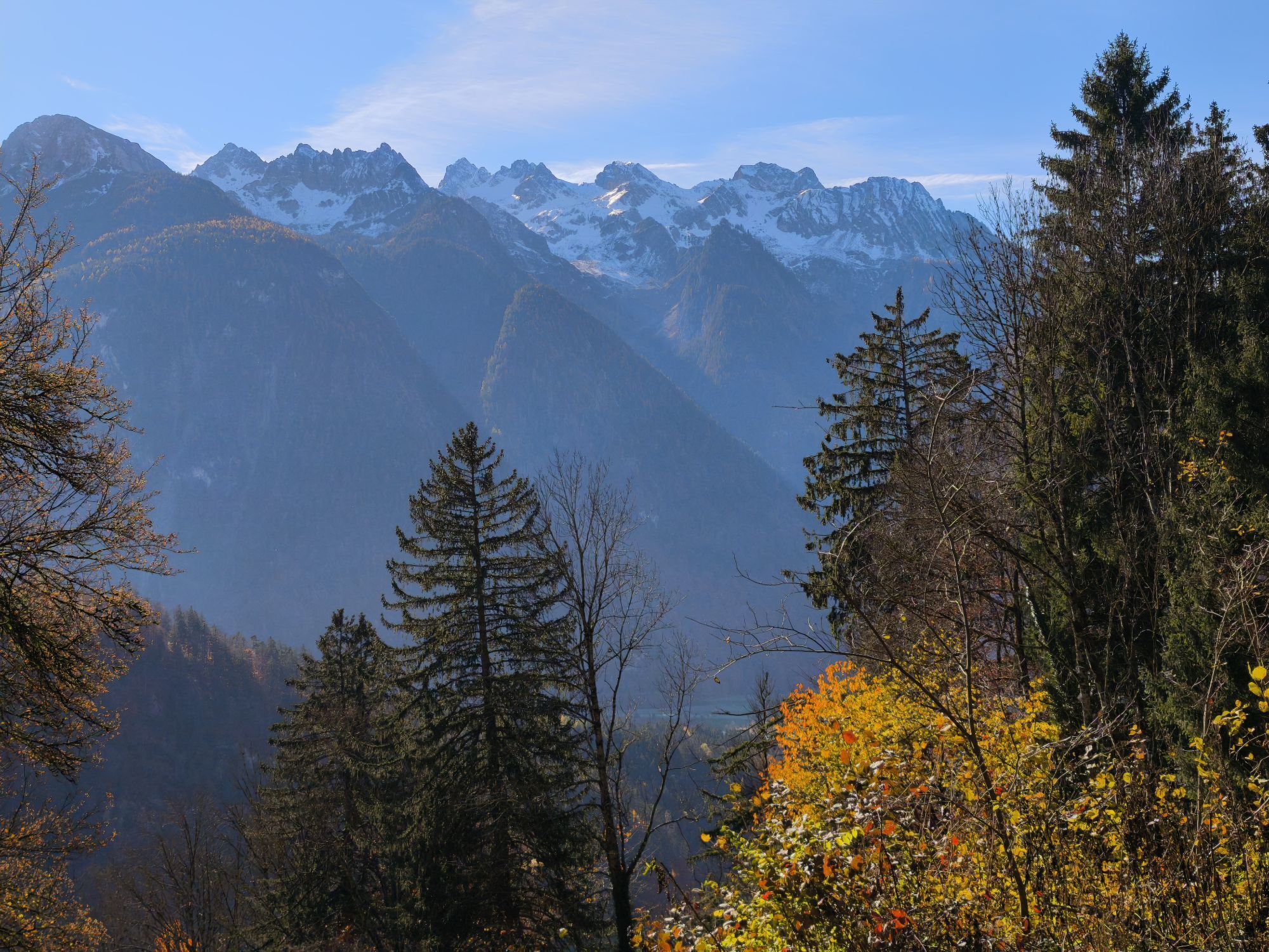
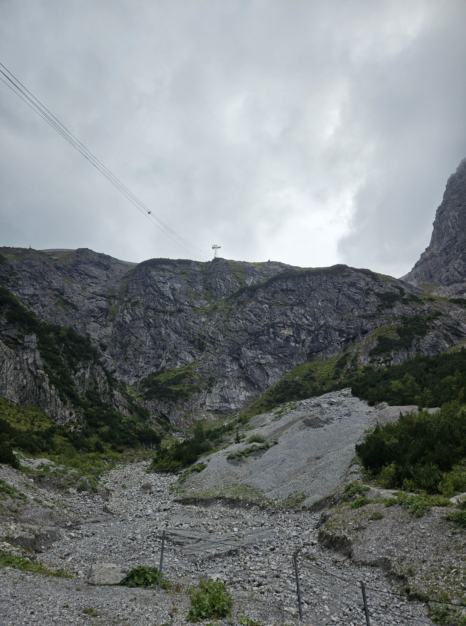
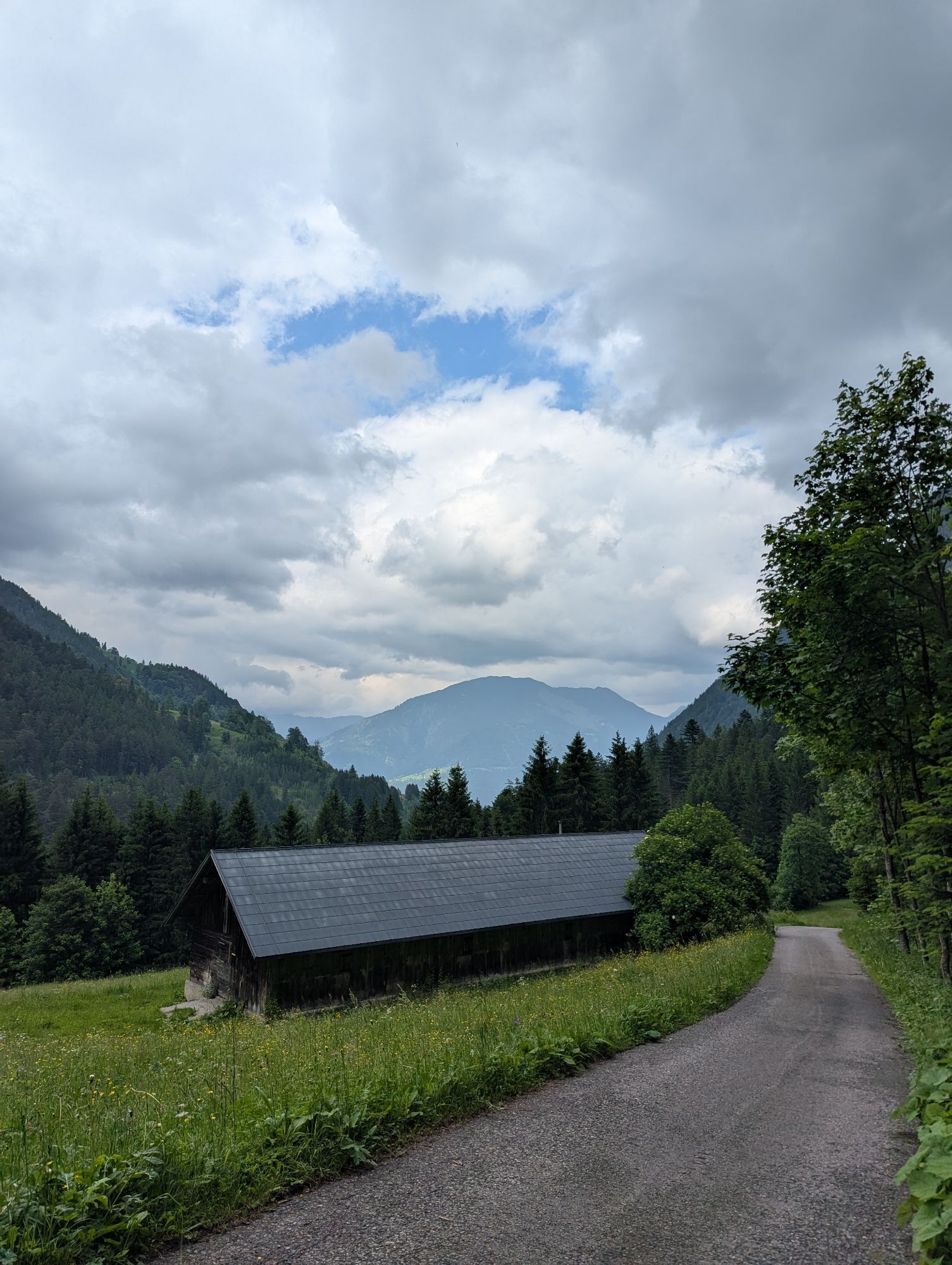


The route starts at Aktivpark Montafon and passes through the towns of Gantschier, St. Anton im Montafon, then via Lorüns and Brunnenfeld to Bludenz. Through the town, it goes towards Bürs. At the second roundabout, take the 3rd exit and immediately turn left into Flurweg and follow it to Unterrainweg. Cross Unterrainweg and continue straight along Flurweg into Gamplumweg. Immediately afterwards continue on Werkstraße. Then turn left into Hinterbrugweg. This soon branches into Feldweg. Uphill via the old Brandnertalstraße. Through meadows and forest sections you gain elevation until you reach the town of Brand. There the old Brandnertalstraße ends. Turn left and follow the road further into the valley. At the end of Brand the further ascent begins. Now you are on Schattenlagantstraße. It continues serpentine uphill until you reach the Schattenlaganthütte (refreshment option) and shortly thereafter the valley station of the Lünerseebahn. It is recommended to take the lift with the Lünerseebahn (without bike). The Lünersee is always worth a visit. The turquoise lake nestled in the mountain scenery offers an ideal spot for those seeking peace. At the mountain station is the Douglass Hut where there is plenty to eat and drink. On the terrace you can enjoy the view with a wonderful refreshment. From the valley station of the Lünerseebahn you head back to Brand the same way. After Brand continue straight on and shortly afterwards you reach Bürserberg. The view of the town of Bludenz is impressive. It goes fast and winding downhill over the Tschengla to Bürs. Through the town of Bludenz, Brunnenfeld, Lorüns and St. Anton im Montafon you reach Aktivpark Montafon again in Schruns-Tschagguns.
Áno
Emergency equipment (spare tube, tools, pump) is highly recommended.
EMERGENCY CALL:
140 Alpine emergencies nationwide Austria
144 Alpine emergencies Vorarlberg
112 European emergency number
Coming from Bludenz, take the Bludenz/Montafon motorway exit and follow the L188 into Montafon towards Schruns-Tschagguns. At the Rätikon junction, keep going straight towards St. Gallenkirch and then follow the signs to Aktivpark Montafon. www.maps.google.com
Just leave your car standing
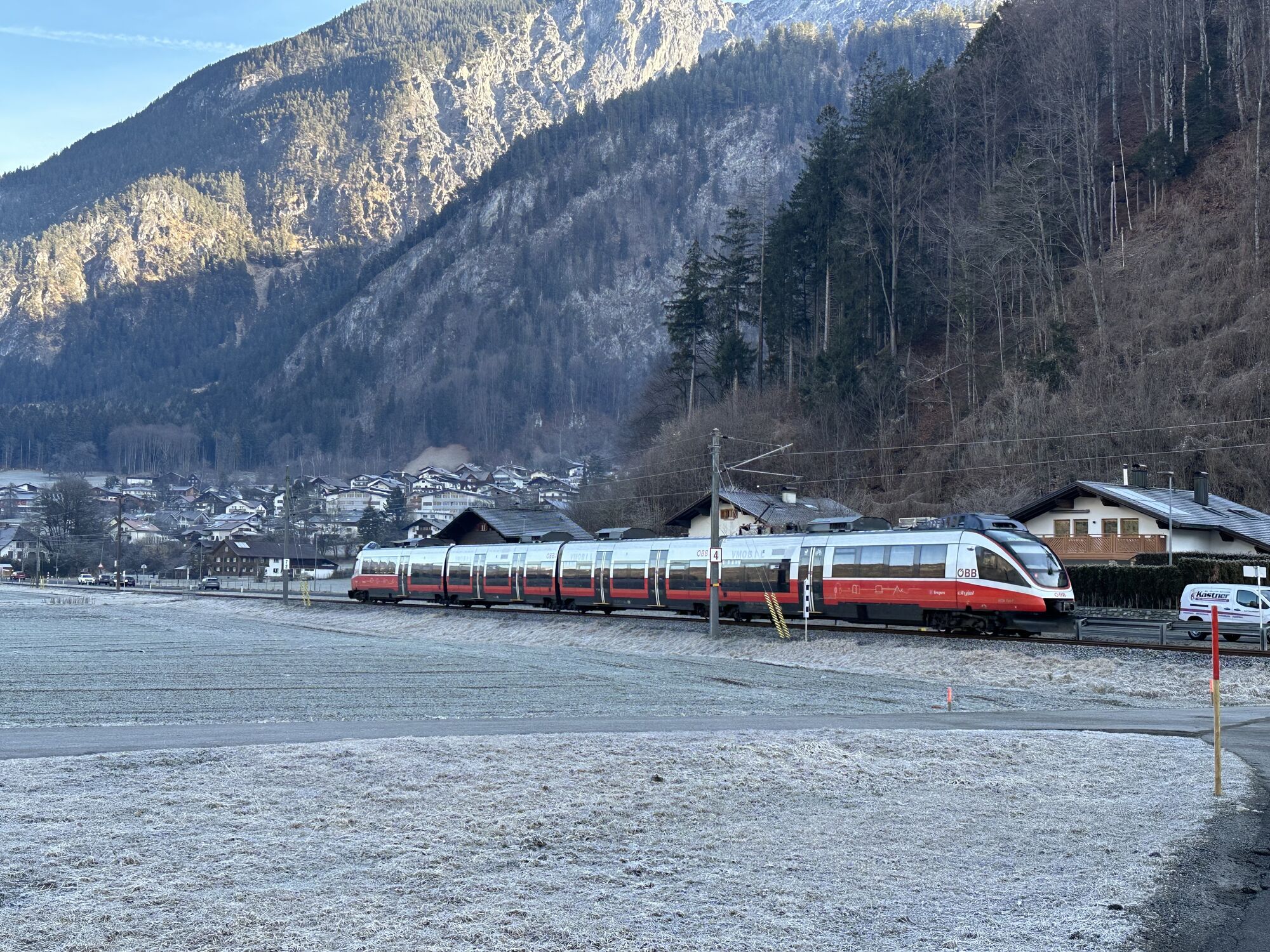
The regional buses of the Montafonerbahn operate throughout Montafon. The main lines run hourly from Schruns station.
From Schruns station you can reach Aktivpark Montafon by bus lines 2a or 2b. The stop is: "Sports field/Aktivpark".
For the return trip:
You can also take bus lines 2a or 2b back to Schruns.
Arrival by train
From Bludenz station the Montafonerbahn runs hourly (partly half-hourly). There are also direct connections from Lindau (D) and Bregenz.
Free parking spaces are located at Aktivpark Montafon in Schruns-Tschagguns.
Webové kamery z prehliadky
-
Hochjoch Bahn Bergstation
-
Grüneck Bergstation
-
Matschwitz Mittelstation
-
Palüdbahn Talstation
-
Hotel Zimba in Brand
-
Innerberg
-
Brandnertal - Glattjoch
-
Sücka Schlepplift Talstation
-
Berghof Golm
-
Golfclub Braz
-
Golm - Matschwitz
-
Brandnertal - Panoramabahn Burtschasattel
-
Niggenkopfstüble - Niggenkopf
-
Golm - Hüttenkopfbahn
-
Bartholomäberg
-
Bartholomäberg
-
Lünersee - Douglass Hütte
-
Tschagguns
-
Brandnertal - Loischkopf
-
Brandnertal - Palüd
-
Brandnertal - Bürserberg
-
Schruns
-
BBG Schedlerhof Bergstation
-
Bartholomäberg - Ferienhotel Fernblick
-
Wormserhütte
-
Wormserhütte
-
Hueter Hütte
-
Hueter Hütte
-
Bludenz
-
Kapellbahn
-
Schlepplift Innerbach
-
Bartholomäberg
-
Muttersberg - Alpengasthof
-
Bergstation Dorfbahn Brandnertal
-
Bludenz Zentrum
-
Bartholomäberg - Ferienhotel Fernblick
-
Bartholomäberg - Ferienhotel Fernblick
-
Bartholomäberg - Ferienhotel Fernblick
-
Bergstation Dorfbahn Brandnertal
Obľúbené výlety v okolí
-
5,0
Ski tour to the Lindauer Hut (1,744 m)
svetloSkitour 14,0 km -
5,0
Bürs, Bürserschlucht Bürs, Vorarlberg
strednáTuristika 5,31 km -
4,4
Golm-Rundwanderweg im Rätikon
strednáTematická trasa 7,28 km -
4,3
Golmerbahn Bergstaion Grüneck - Golmer Höhenweg - Geißspitze - Lindauer Hütte - Latschau
strednáTuristika 11,5 km -
4,7
Over the historic mine and Fritzensee to Rellseck
strednáTuristika 7,25 km -
4,1
Mondspitze (Montspitze)
strednáTuristika 7,97 km -
4,9
Douglasshütte, Lünersee, Gafalljoch Brand bei Bludenz, Vorarlberg
svetloTuristika 9,16 km -
4,8
Douglashütte - Schesaplana
strednáTuristika 7,31 km -
3,0
Bergstation Grüneck Golmerbahn - Alpe Latschätz - Lindauer Hütte - Latschau
svetloTuristika 11,1 km -
3,3
Dalaas - Freiburgerhütte
strednáTuristika 8,40 km
Turistika a stopovanie


Nenechajte si ujsť ponuky a inšpiráciu na ďalšiu dovolenku
Vaša e-mailová adresa bol pridaný do poštového zoznamu.