







Circular route Kristberg (small)
The snowshoe routes are in open terrain. Use at your own risk.

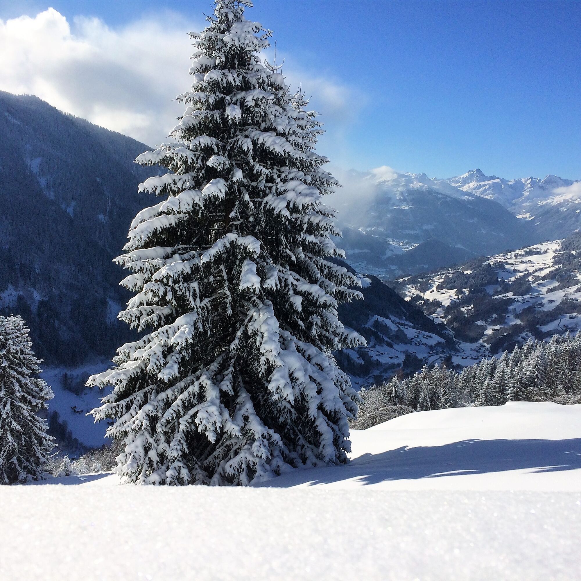
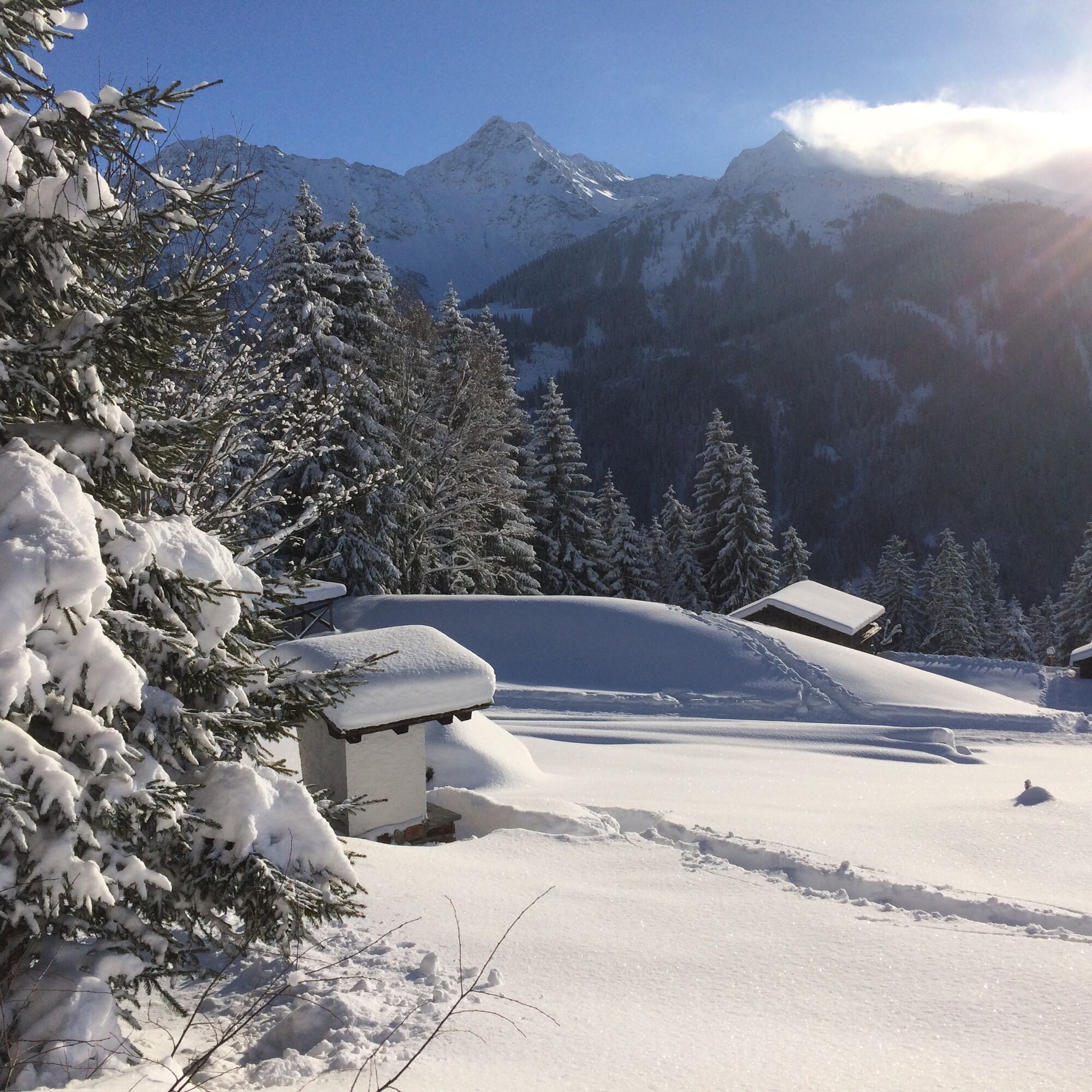
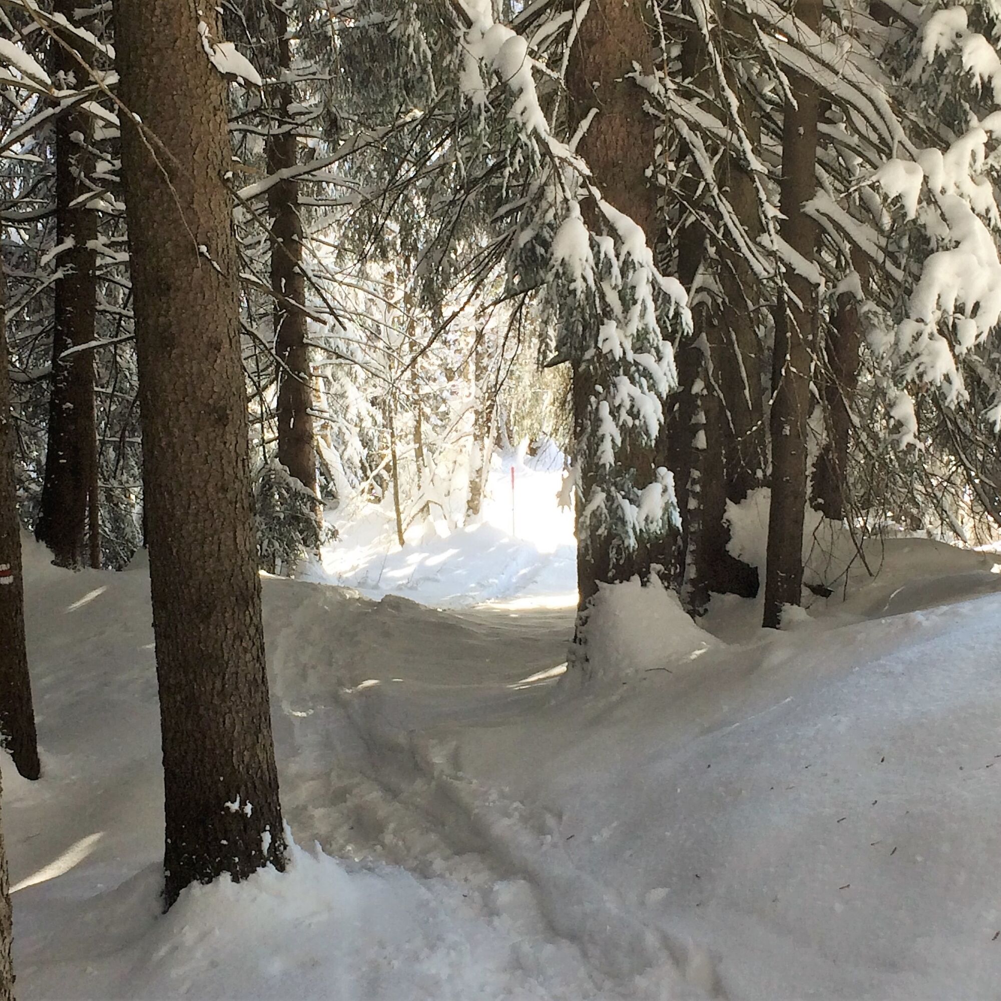
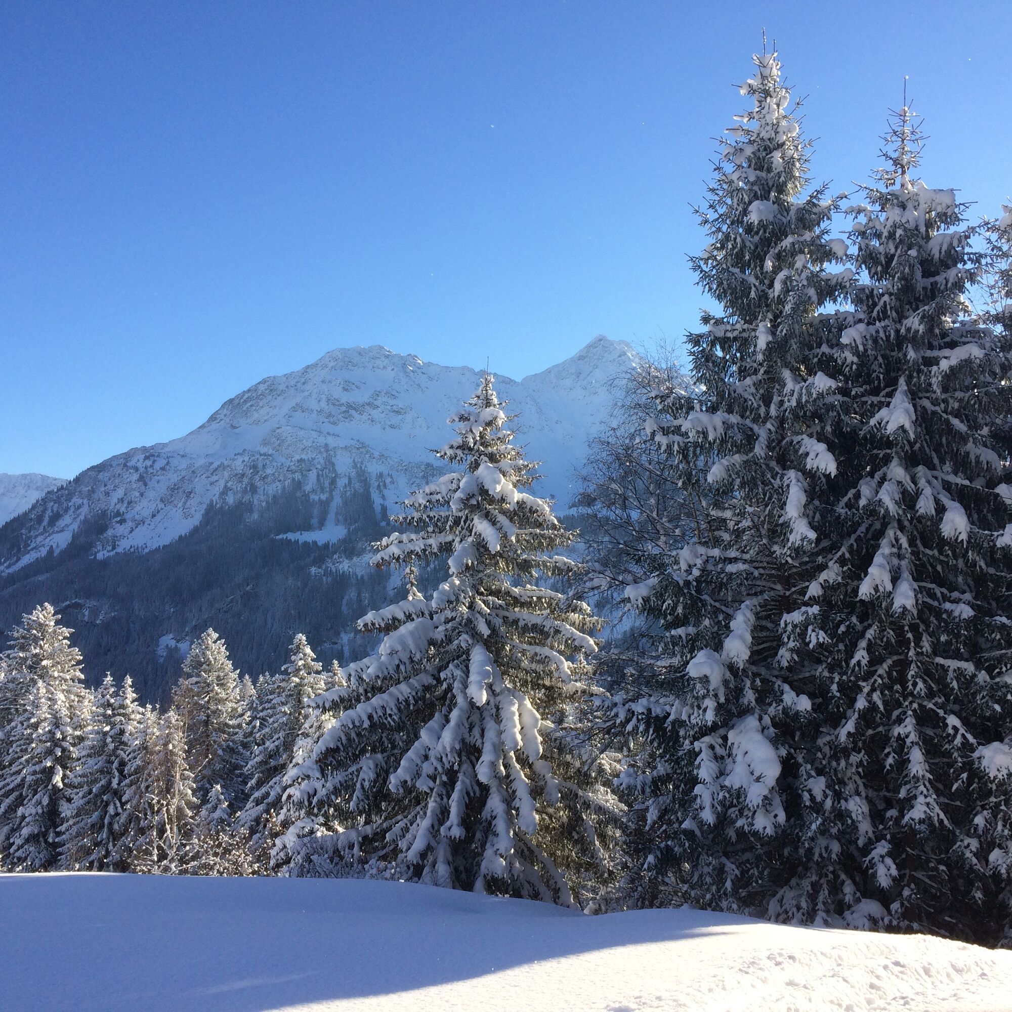
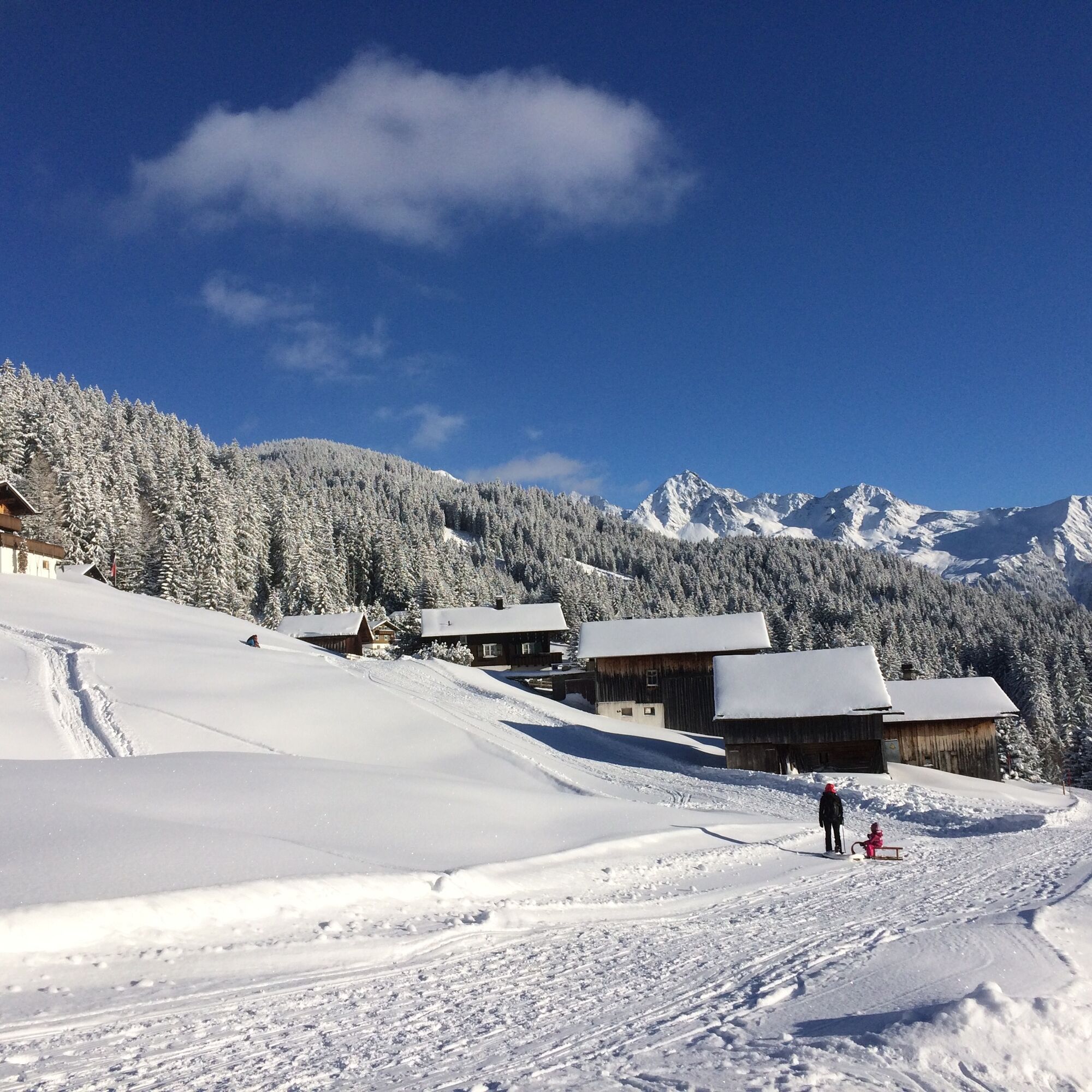
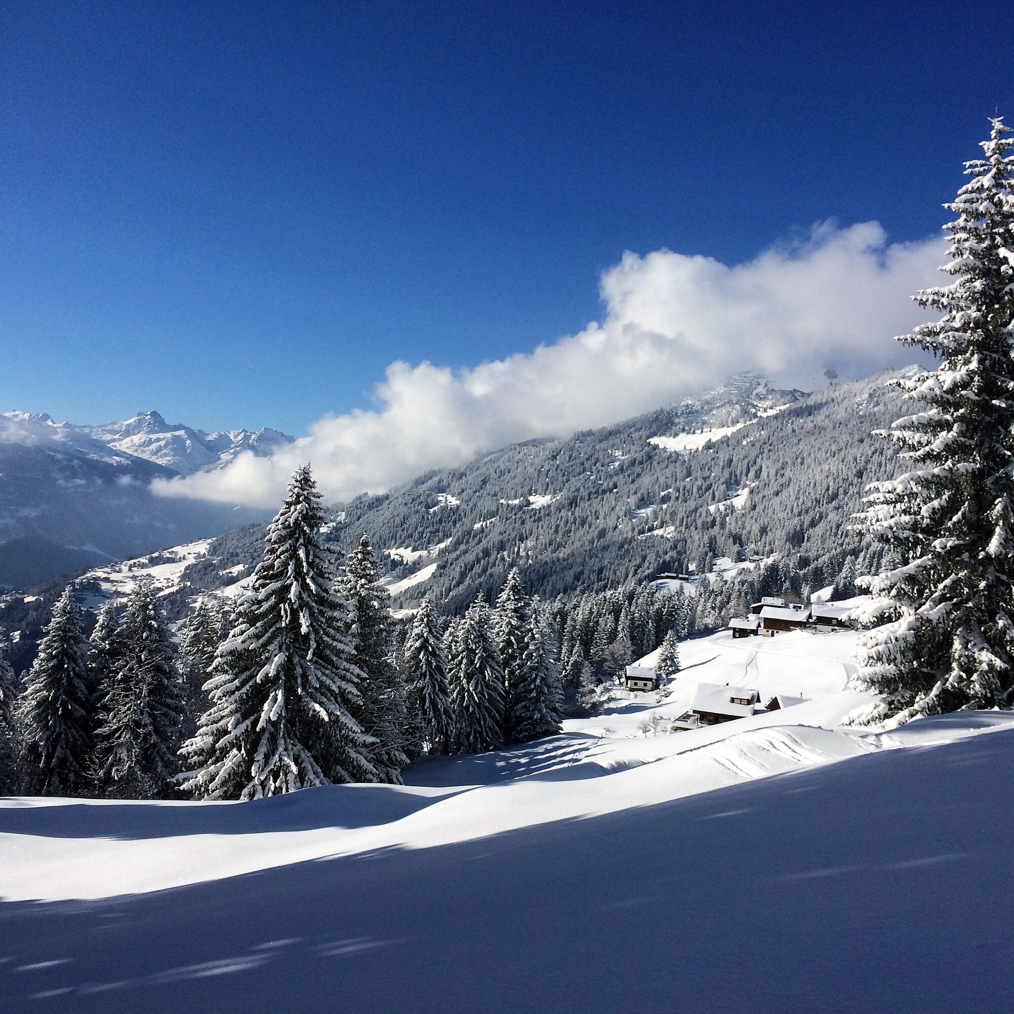

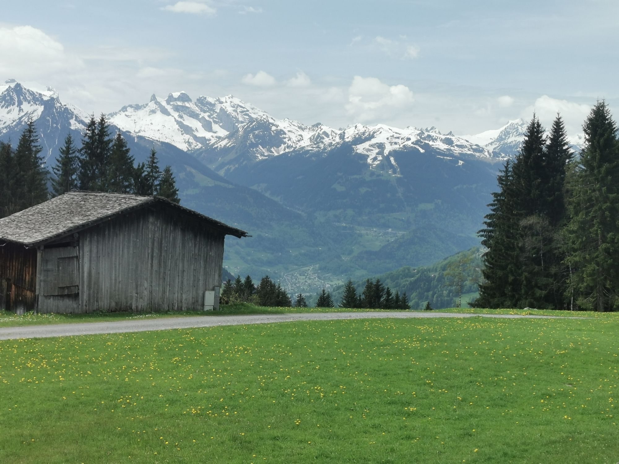
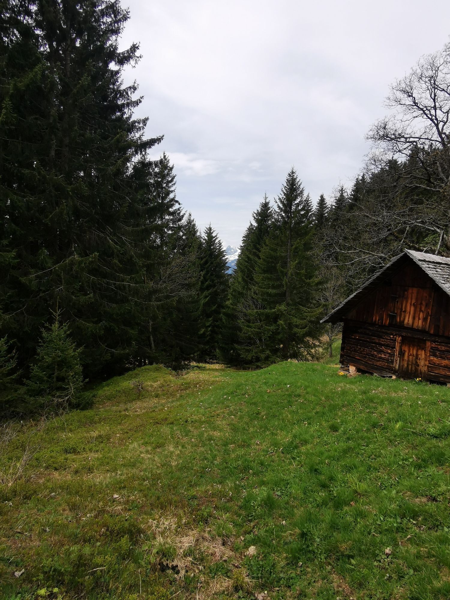
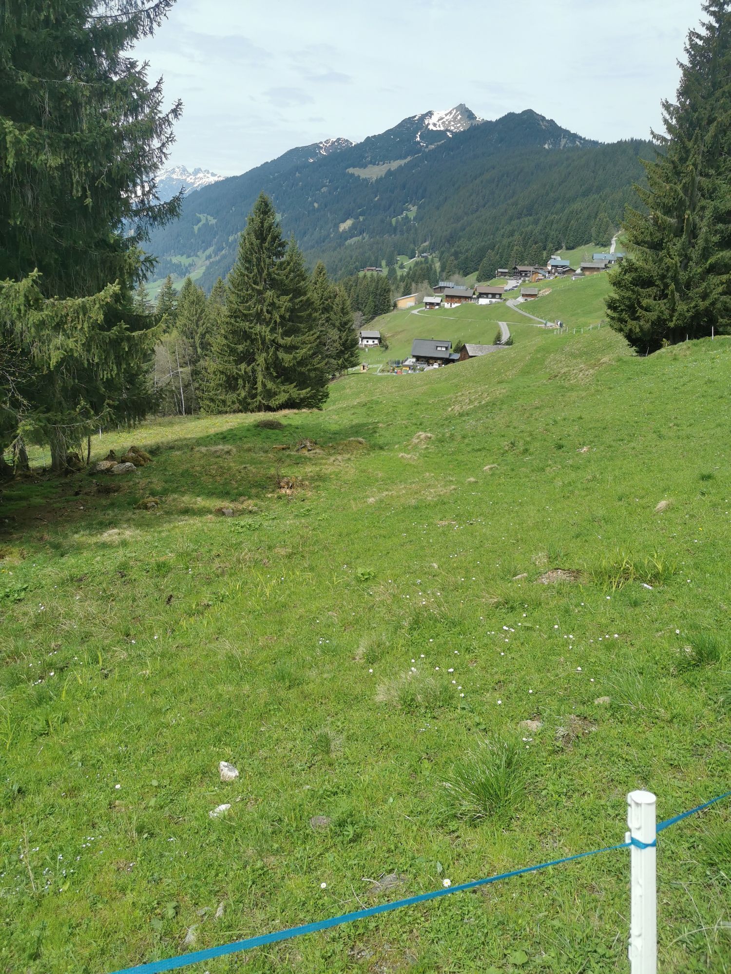
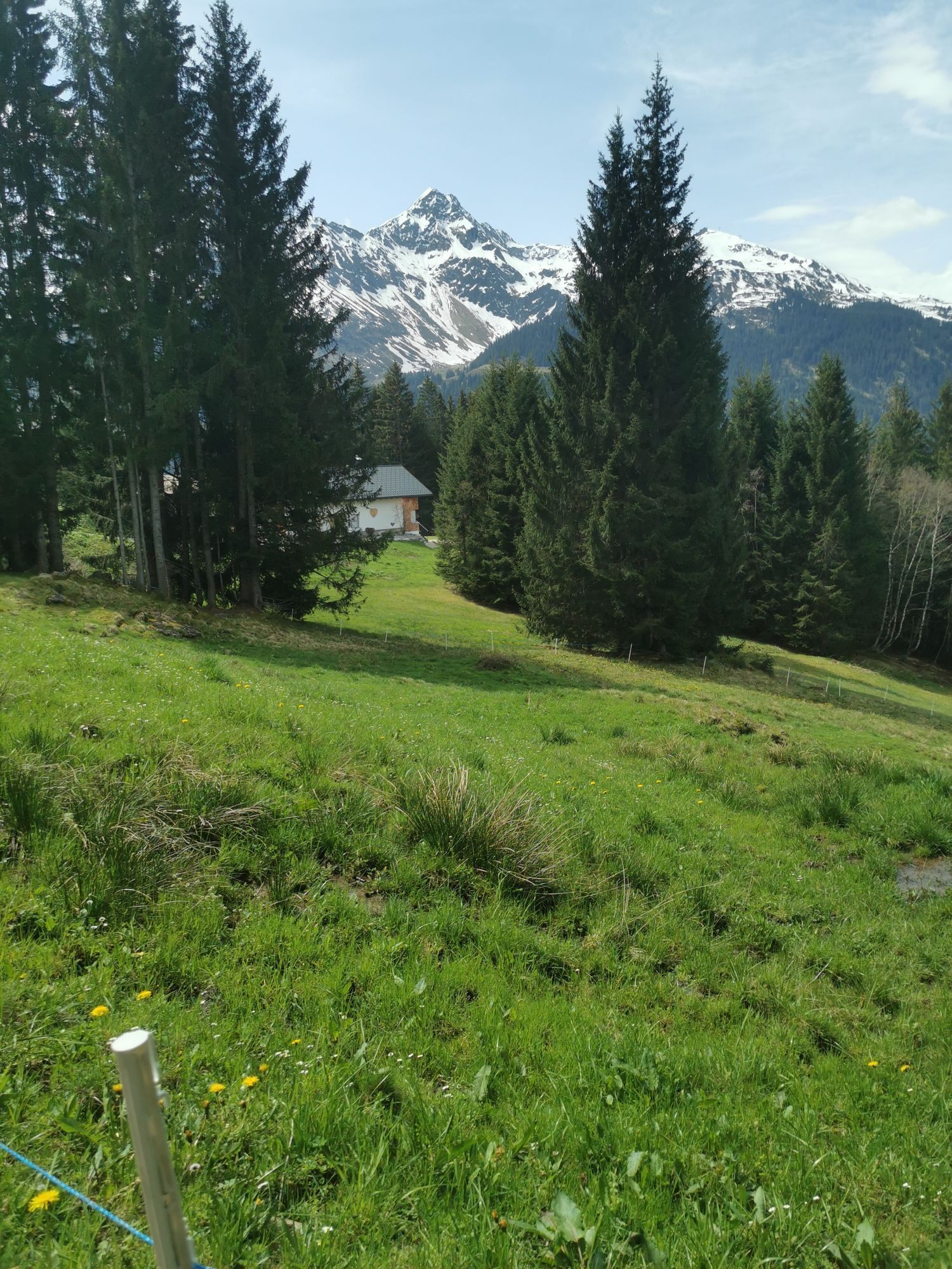
The small snowshoe route starts at the top station of the Kristbergbahn and first follows the winter hiking trail and the panoramic cross-country ski trail valley inward. In the Säga area, turn right and follow the winter hiking trail valley downward to the Pfaua area. Pass hay barns through a beautifully snow-covered winter landscape. After some time, you reach the Stelzer exit point, which is slightly below the top station. In the Stelzer area, turn right and follow the path uphill. It goes straight up to the top station. After about a quarter of an hour, you reach the starting point.
Áno
Sturdy footwear for snowshoes, careful planning, study avalanche report (www.vorarlberg.at/vorarlberg/sicherheit_inneres/sicherheit/landeswarnzentrale/weitereinformationen/lawinenwarndienst/ziel.htm), for avalanche emergency: avalanche transceiver, shovel, and probe (standard),
EMERGENCY CALL:
140 alpine emergencies Austria-wide
144 alpine emergencies Vorarlberg
112 Euro emergency call (works with any mobile/network)
Drive on the A14 to the Bludenz/Montafon exit and continue on Montafonerstraße L188 to Schruns. From Schruns, you reach Silbertal.
Just leave your car standing
The regional buses operate throughout Montafon. The main lines run every half hour from Schruns station.
Bus stop at the start/finish of the route: Silbertal Kristbergbahn / Line 88
Timetable: www.vmobil.at
Arrival by train to Montafon
From Bludenz station, the Montafonerbahn runs hourly (partly every half hour). There are also direct connections from Lindau (D) and Bregenz.
Timetable: www.oebb.at
Parking lots are located near the Kristbergbahn
This route is marked with the green number 11 on the overview map "Aktivkarte Schnee". The map is available free of charge at the Montafon tourist offices.
Snowshoe hikes are endurance sports. Before the snowshoe season, train basic endurance in other endurance sports. The valuable stress stimuli for the heart and circulation require health and good self-assessment. Avoid time pressure and increase the intensity and duration of your routes gradually. Fluids, energy, and breaks are necessary to maintain performance and concentration. Hot, isotonic drinks are ideal thirst quenchers and heat providers. Muesli bars, dried fruit, and cookies satisfy small hunger on the way.
Webové kamery z prehliadky
-
Hochjoch Bahn Bergstation
-
Montafoner Kristbergbahn Bergstation
-
Panoramagasthof Kristberg
-
Panoramagasthof Kristberg
-
Kristberglift mit St. Agatha Kirche
-
Kinderland Skischule Silbertal
-
Bergstation Hochalpila Bahn
-
Silbertal Dorf
-
Innerberg
-
Silvretta-Montafon - Panorama Bahn
-
Bartholomäberg - Ferienhotel Fernblick
-
Wormserhütte
-
Wormserhütte
-
Kapellbahn
-
Bartholomäberg - Ferienhotel Fernblick
-
Bartholomäberg - Ferienhotel Fernblick
-
Bartholomäberg - Ferienhotel Fernblick
Získajte prehľad
Vždy naživo na mieste s viac ako 9 500 webovými kamerami. bergfex Ako používateľ Pro si teraz môžete pozrieť príslušné webové kamery pre mnohé zájazdy v aplikácii zájazdy z. Môžete si tak priamo prezerať aktuálne podmienky.
Obľúbené výlety v okolí
-
5,0
Ski tour to the Lindauer Hut (1,744 m)
svetloSkitour 14,0 km -
4,4
Golm-Rundwanderweg im Rätikon
strednáTematická trasa 7,28 km -
4,6
Over the historic mine and Fritzensee to Rellseck
strednáTuristika 7,25 km -
4,3
Golmerbahn Bergstaion Grüneck - Golmer Höhenweg - Geißspitze - Lindauer Hütte - Latschau
strednáTuristika 11,5 km -
4,7
Kristberg - Wasserstubental - Silbertal
svetloTuristika 13,8 km -
4,9
Alpgues Runde
strednáTuristika 9,21 km -
3,0
Bergstation Grüneck Golmerbahn - Alpe Latschätz - Lindauer Hütte - Latschau
svetloTuristika 11,1 km -
3,3
Dalaas - Freiburgerhütte
strednáTuristika 8,40 km -
4,7
Muttersberg - Fraßenhütte - Fraßen - Tiefenseesattel Nüziders, Österreich
strednáTuristika 10,1 km -
4,0
Stuben - Stubner See - Kaltenberghütte - Stuben
strednáTuristika 9,90 km
Turistika a stopovanie


Nenechajte si ujsť ponuky a inšpiráciu na ďalšiu dovolenku
Vaša e-mailová adresa bol pridaný do poštového zoznamu.





