






Ski tour from Au to Toreck
Úroveň náročnosti: PD+
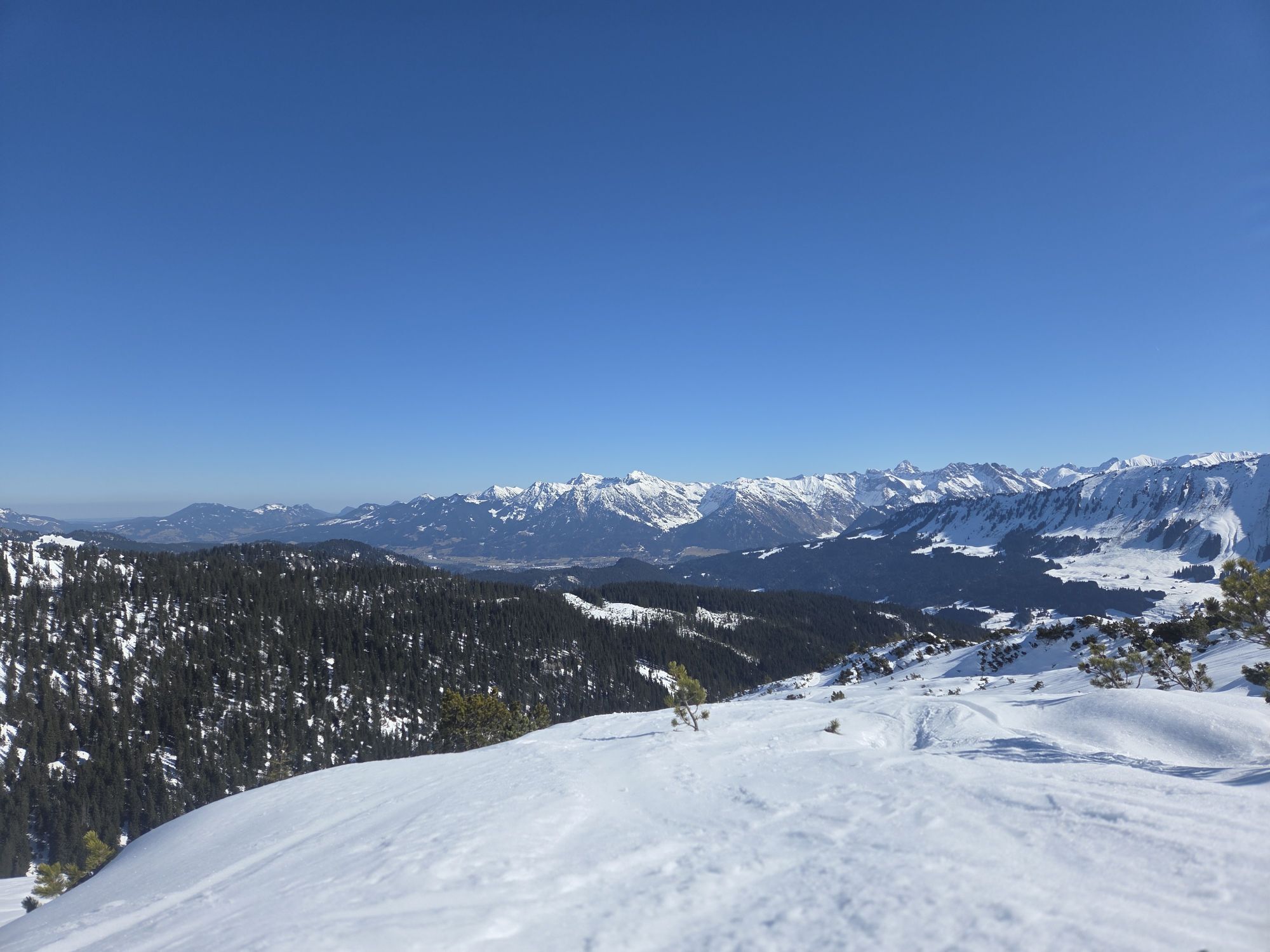
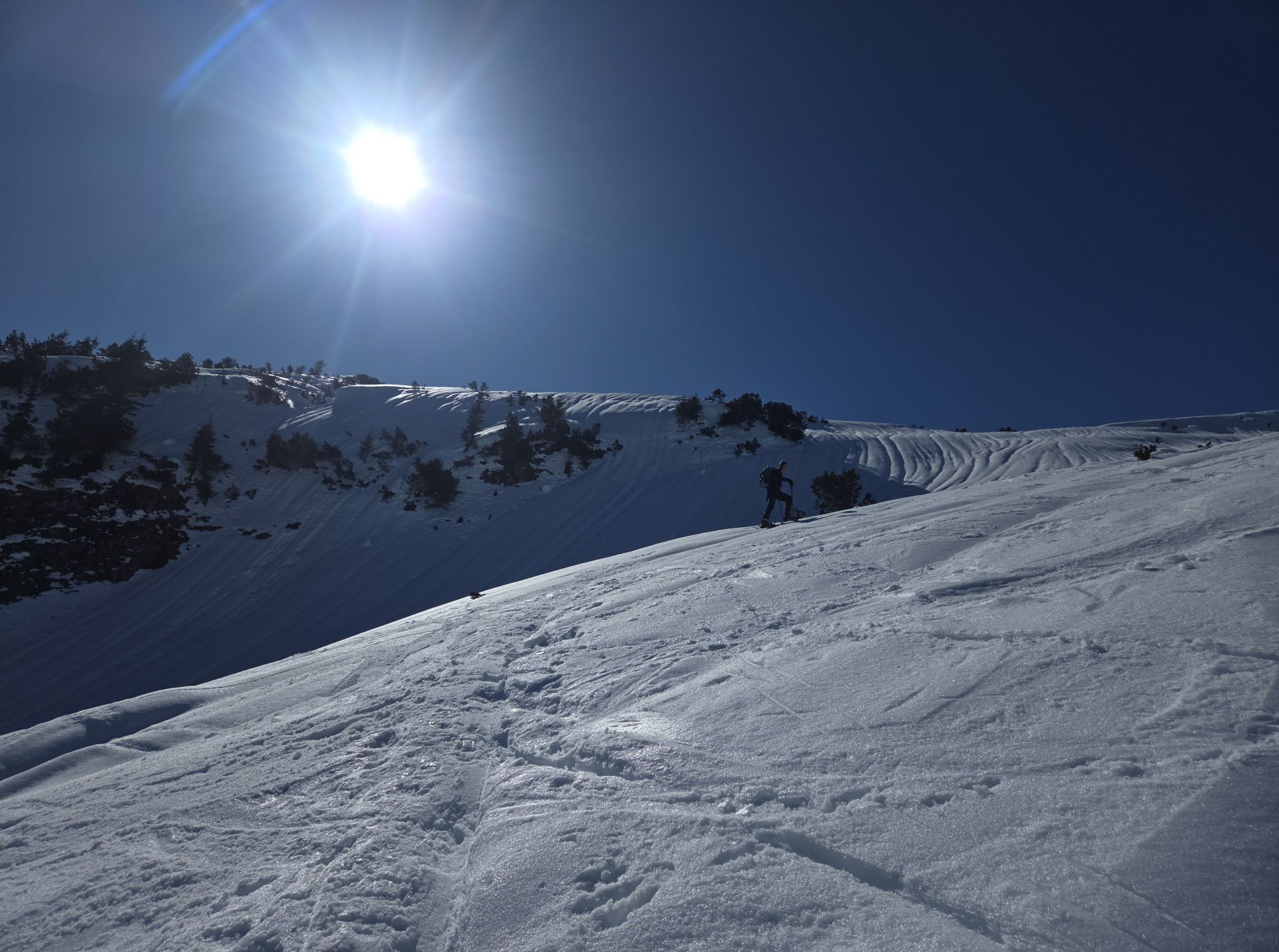
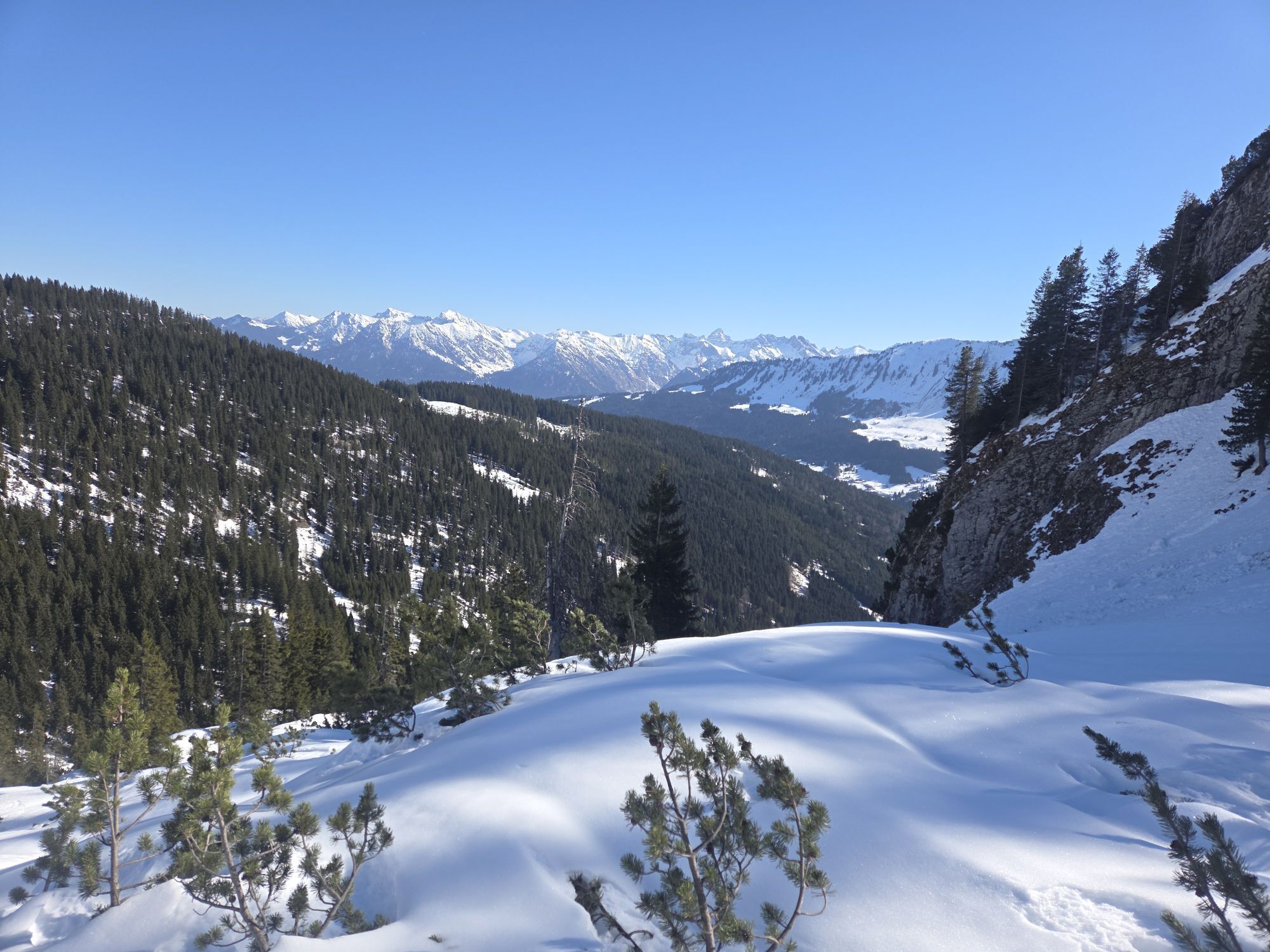
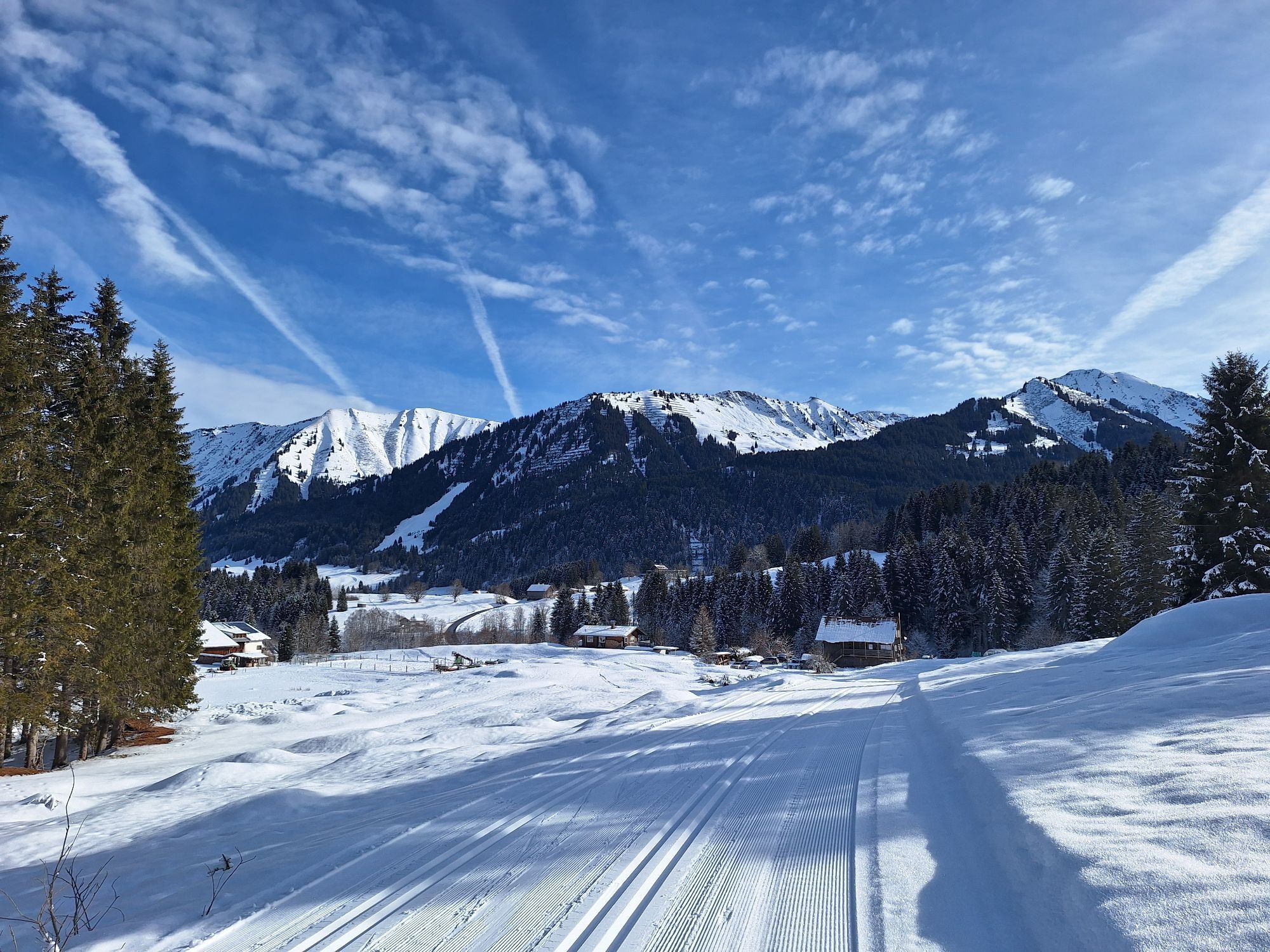
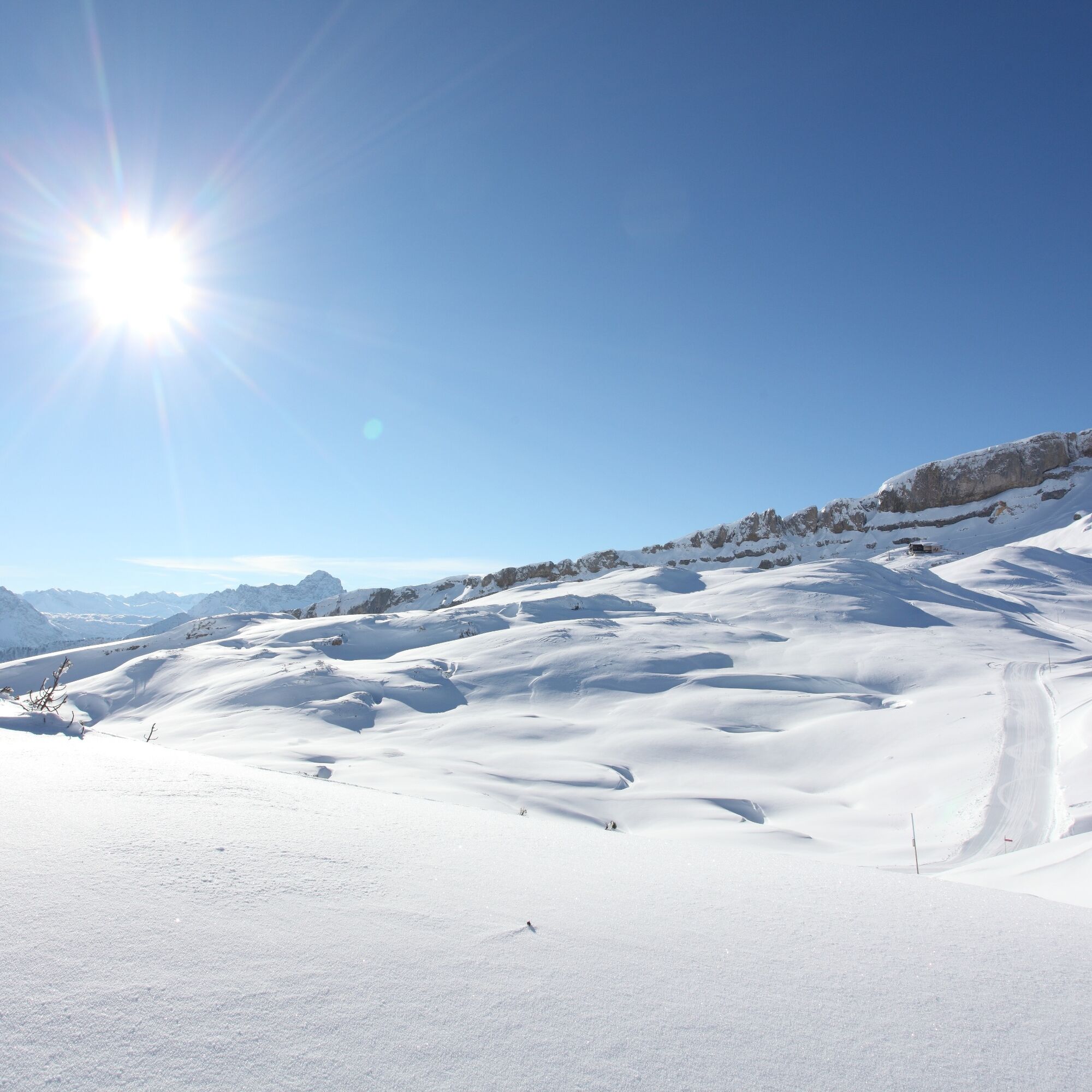
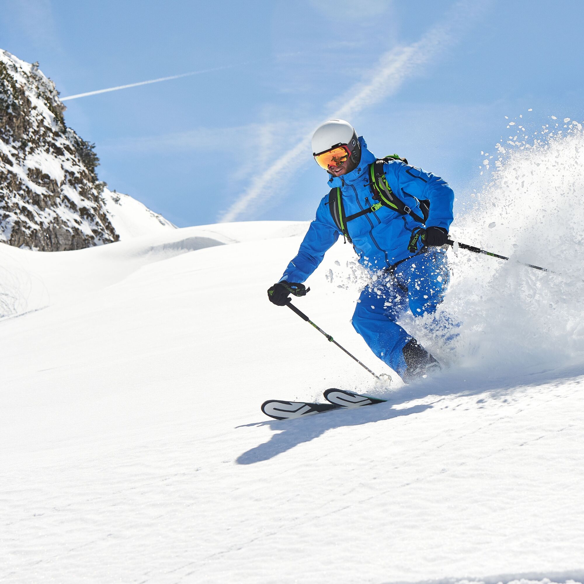
A scenically magnificent ski tour starting at the football pitch in Au. Already the ascent fascinates with the wild landscape in Kürental and the upper section impresses with a spectacular mountain panorama.
Consciously...
A scenically magnificent ski tour starting at the football pitch in Au. Already the ascent fascinates with the wild landscape in Kürental and the upper section impresses with a spectacular mountain panorama.
Consciously experiencing nature stands for respectful interaction among winter sports enthusiasts and towards nature. The described route takes into account the designated forest-wildlife protection areas in Kleinwalsertal.

Ascent
The route starts either at the football pitch in Au or a little further down the valley at the "Marburger Haus" bus stop when arriving by bus (see "Arrival"). From the bus stop, continue about 300 m further down the valley to the junction into Ladstatt to an information board for the Ifen-Gottesacker area. From here, follow a forest road into the woods towards Kürental. The first section is flat; horse-drawn carriage rides also take place here, so please show consideration. Follow the forest road past the Schmalzboden hut to the end and continue into Kürental. This is reached about 100 m above Schneiderkürenalpe. From here, continue ascending until just below the dilapidated Gottesacker Alpe and finally head northeast to the summit of Toreck.
Descent
The descent heads towards Mahdtal. Initially, descend over beautiful open ski slopes and further down cross below a rock face to Grafenküren Alpe. There you will reach a forest road again and follow it, partly slightly uphill, until you reach a junction leading back to the ascent path. From there follow the forest road downhill to the information board and to the starting point. Please show consideration for ascending tourers during the descent.
Note:
The upper part of the route can also be done in the opposite direction. The route between Grafenküren Alpe and the forest road junction is marked with green signs of the "Naturally on Tour" campaign.
Áno
Complete ski touring equipment including avalanche emergency equipment: avalanche transceiver, shovel and probe (standard); optionally backpack with avalanche airbag
Off secured pistes and paths everyone travels at their own risk and is responsible for themselves and must inform themselves about alpine dangers, in particular avalanche danger. Weather conditions and snow conditions may require changes in the route.
The provided GPS track is only a suggestion. No liability is accepted for the accuracy of the information.
EMERGENCY NUMBERS:
144 Alpine emergencies Vorarlberg 112 Euro emergency call (works with any mobile/ network)If arriving by car, please form car pools.
Most routes from Germany converge in Ulm and continue on the A7. At the Allgäu motorway junction take the A980 segment to the Waltenhofen interchange and then the four-lane B19 past Sonthofen and Oberstdorf into Kleinwalsertal.
From Austria (Vorarlberg) and Switzerland, you reach Kleinwalsertal via Bregenzerwald (Hittisau) – Riedberg Pass – Fischen – Oberstdorf.
Coming from Tyrol, the fastest route is via the A7 to Kempten and then on the B19 towards Oberstdorf. You do not need a motorway vignette for the drive into the valley.
Just leave your car behind!
Take the train to Oberstdorf. Directly opposite the station, the Walserbus goes towards Kleinwalsertal. Take line 1 to the stop "Riezlern Post", then change to line 3 "Wälde" and get off at the stop "Marburger Haus".
Paid parking is available at the football pitch in Au.
Parking along the state road is not permitted.
PD+
The ski tour is recommended in good weather, then the mountain lives up to its name.
Webové kamery z prehliadky
-
Bergstation Kanzelwandbahn Riezlern
-
Fellhornbahn Station Schlappoldsee
-
Fellhornbahn Gipfelstation
-
Hahnenköpflebahn Bergstation / Ifenbergbahn
-
Fellhorn/Oberstdorf Kleinwalsertal
-
Hirschegg - Naturhotel Chesa Valisa
-
Zaferna Bergstation
-
Mittelberg - Naturhotel Lärchenhof
-
Plattform - Schirmbar Riezlern
-
Riezlern Unterwestegg - Gästehaus Almenrausch
-
Riezlern/Schwende - Genuss- & Aktivhotel Sonnenburg
-
Hirschegg - Hotel Walserhof
-
Hirschegg - Hotel Birkenhöhe
-
Hirschegg - Hotel Sonnenberg
-
Mittelberg Bödmen - Hotel Alte Krone
-
Mittelberg - Haus Walser Berge
-
Möserbahn Berg
-
Kanzelwand / Fellhorn
-
Mittelberg - Gästehaus Otto Fritz
-
Bannholzhof
-
Bannholzhof
-
Kleinwalsertal / Haus Keti
-
Walmendingerhorn
-
Walmendingerhorn
-
Kleinwalsertal
-
Ifenbahn Bergstation
-
Riezlern - Haus Peter Paul
-
Riezlern - Landhaus Evi
-
Hirschegg - Hotel Birkenhöhe
-
Kleinwalsertal - Ifenbahn
-
Kleinwalsertal - Kanzelwandbahn
-
Naturhotel Chesa Valisa
-
Kleinwalsertaler Rosenhof
-
Ferienhaus Oberwiese
-
Gästehaus Panorama
-
Haus Berg & Tal / Hirschegg
-
Kesslerlift
-
Riezler Höhe
-
Mittelberg
-
Parsennbahn - Kleinwalsertal
Získajte prehľad
Vždy naživo na mieste s viac ako 9 500 webovými kamerami. bergfex Ako používateľ Pro si teraz môžete pozrieť príslušné webové kamery pre mnohé zájazdy v aplikácii zájazdy z. Môžete si tak priamo prezerať aktuálne podmienky.
Obľúbené výlety v okolí
-
4,9
Gerstruben - zum historischen Bergbauerndorf
strednáTuristika 12,8 km -
4,5
Mountain tour over the Fellhorn ridge
strednáTuristika 8,24 km -
4,8
E5 - 1. Etappe: Oberstdorf - Kemptner Hütte
svetlodiaľková pešia trasa 7,80 km -
4,8
Unterer Gaisalpsee
strednáVysoké turné 8,64 km -
4,7
Rubihorn
strednáTuristika 9,06 km -
4,4
Circular hike through the Bärgunttal
strednáTuristika 4,75 km -
4,7
Widderstein Runde von Baad
strednáTuristika 15,8 km -
4,8
Rubihorntour
strednáHorská turistika 13,0 km -
4,6
Reichenbach, Tobelweg, Entschenkopf, Gaisalpseen
ťažkéVysoké turné 13,0 km -
4,6
Entschenkopf
ťažkéTuristika 12,3 km
Turistika a stopovanie


Nenechajte si ujsť ponuky a inšpiráciu na ďalšiu dovolenku
Vaša e-mailová adresa bol pridaný do poštového zoznamu.





