







Itonskopf summit path
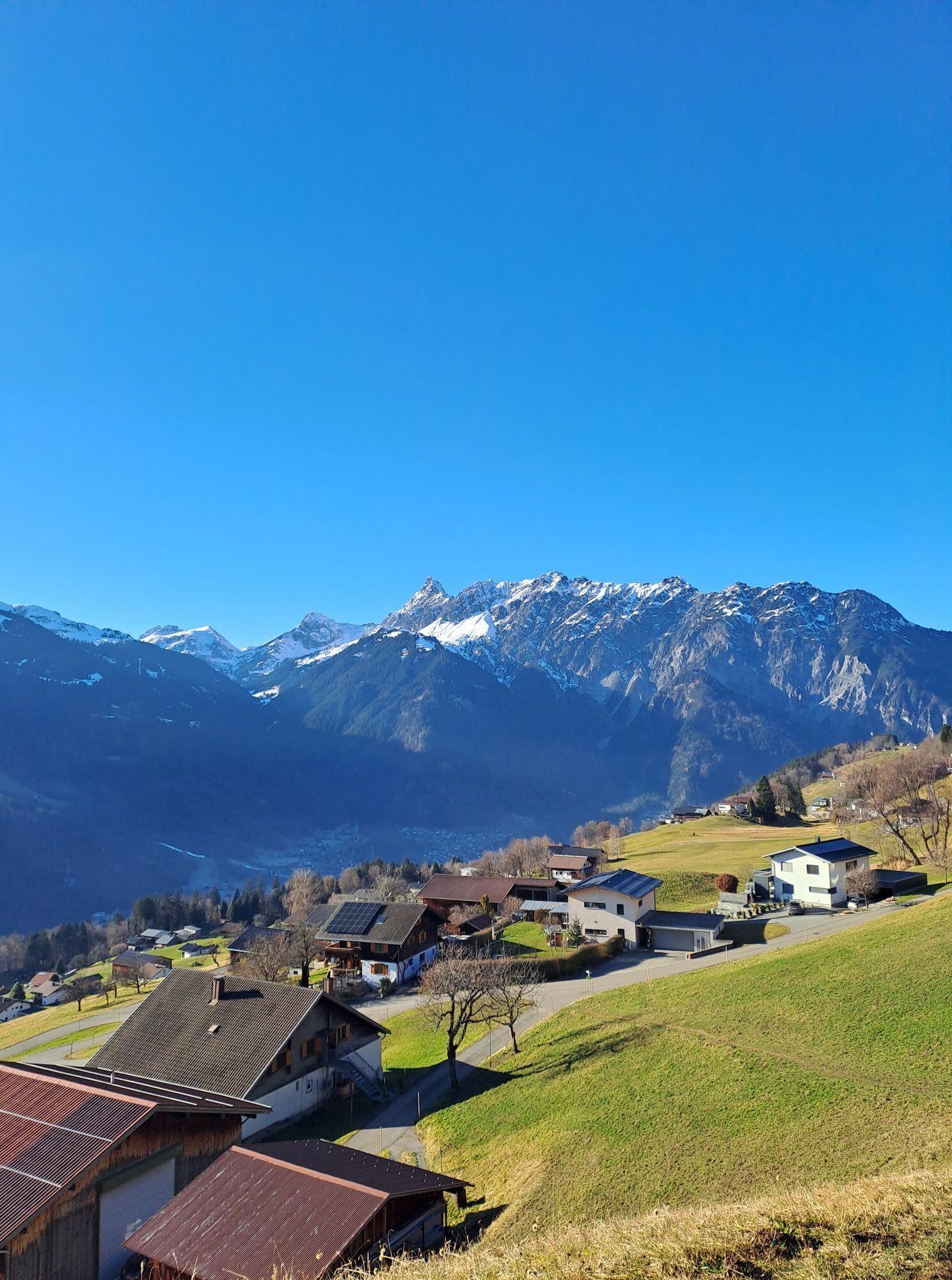
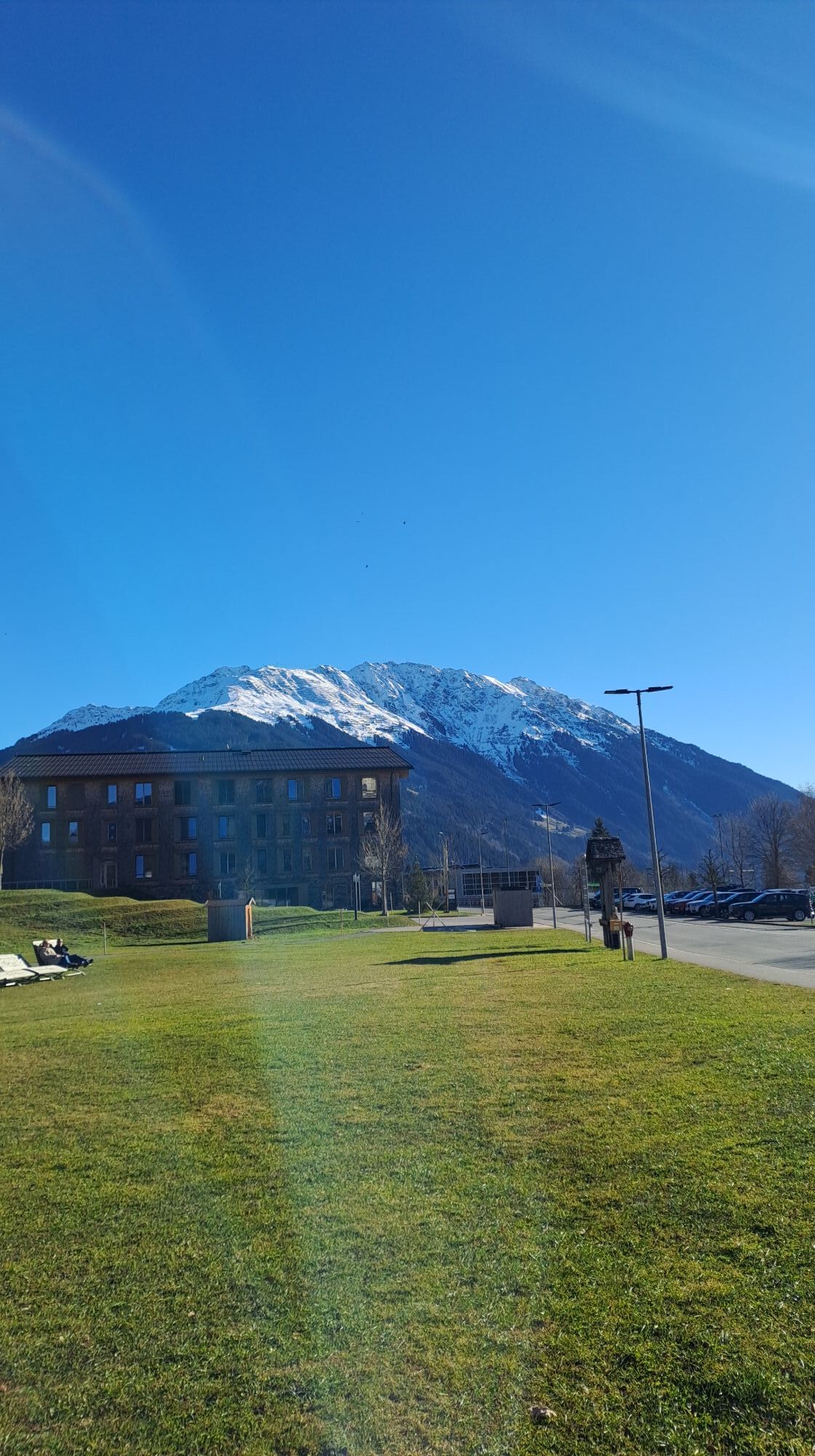
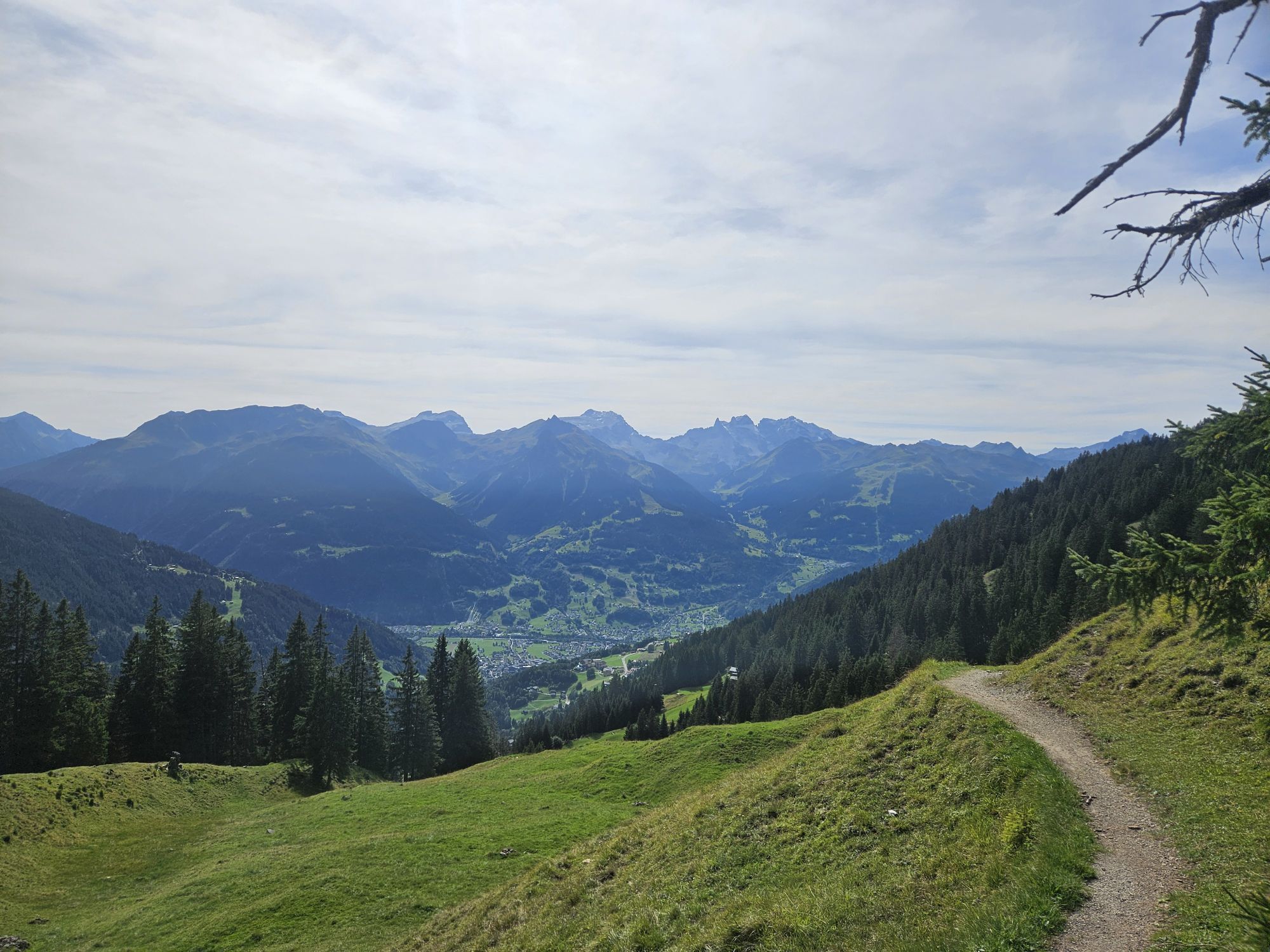

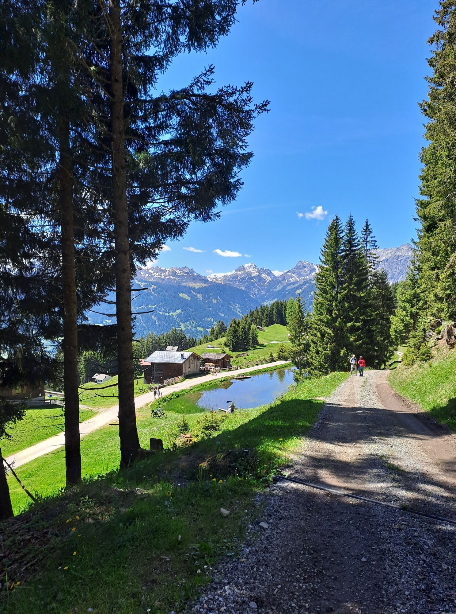
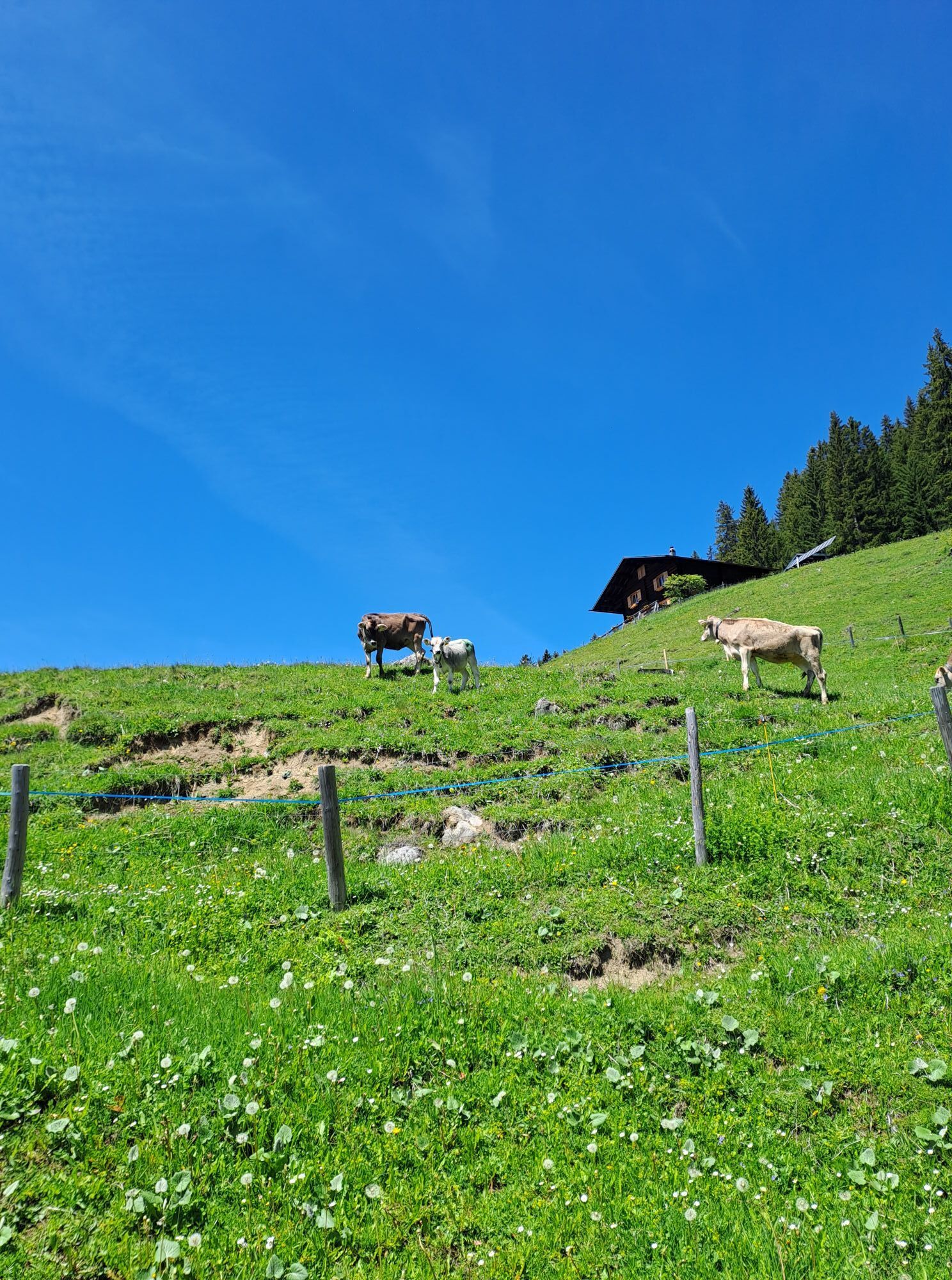
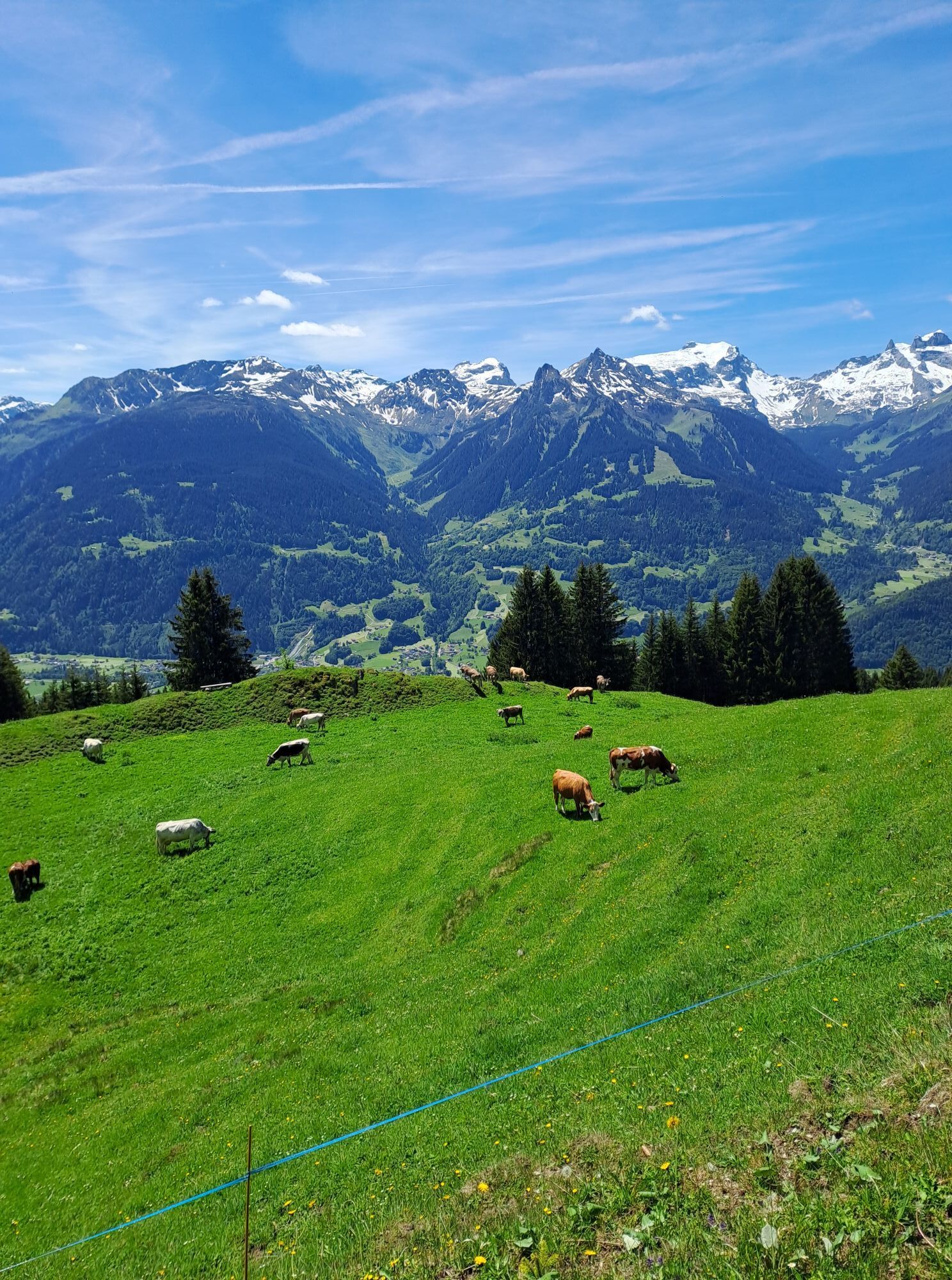
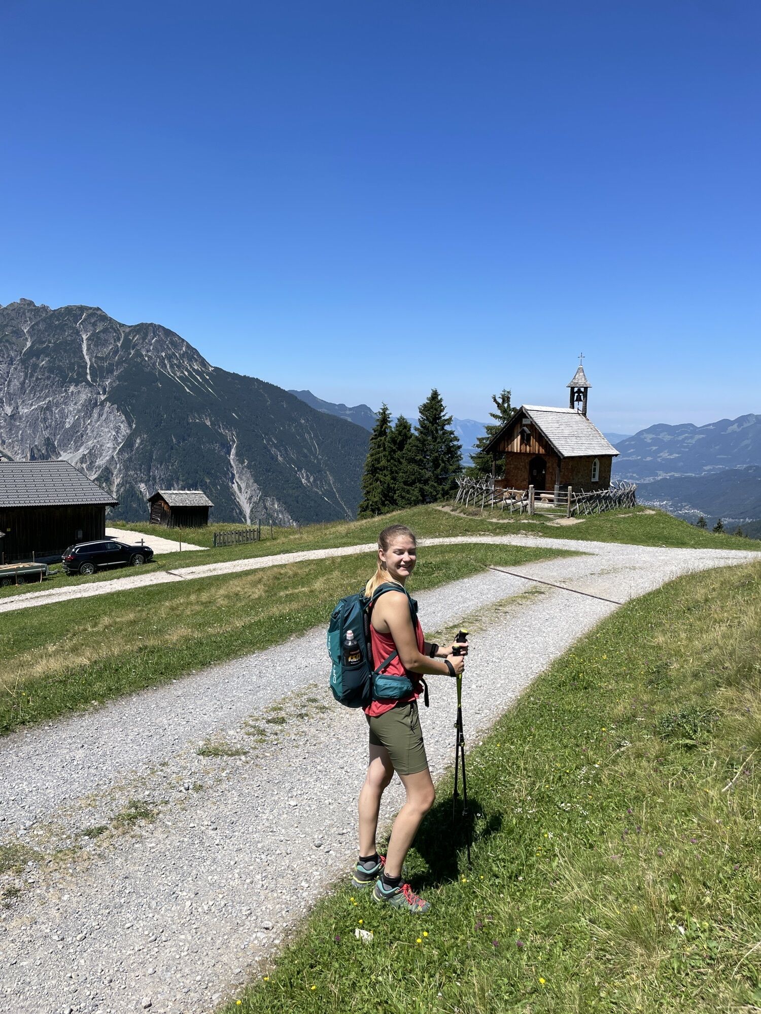
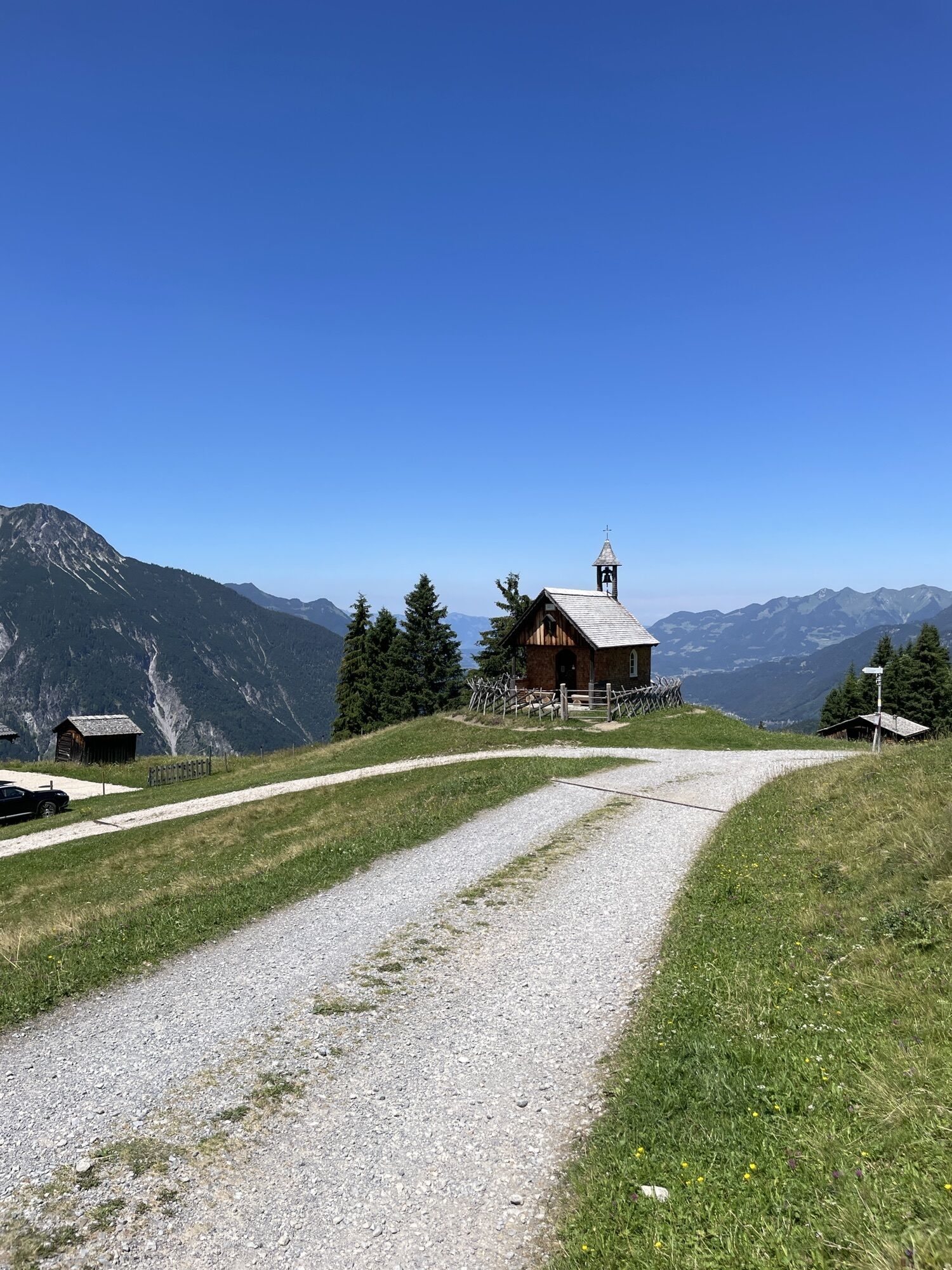
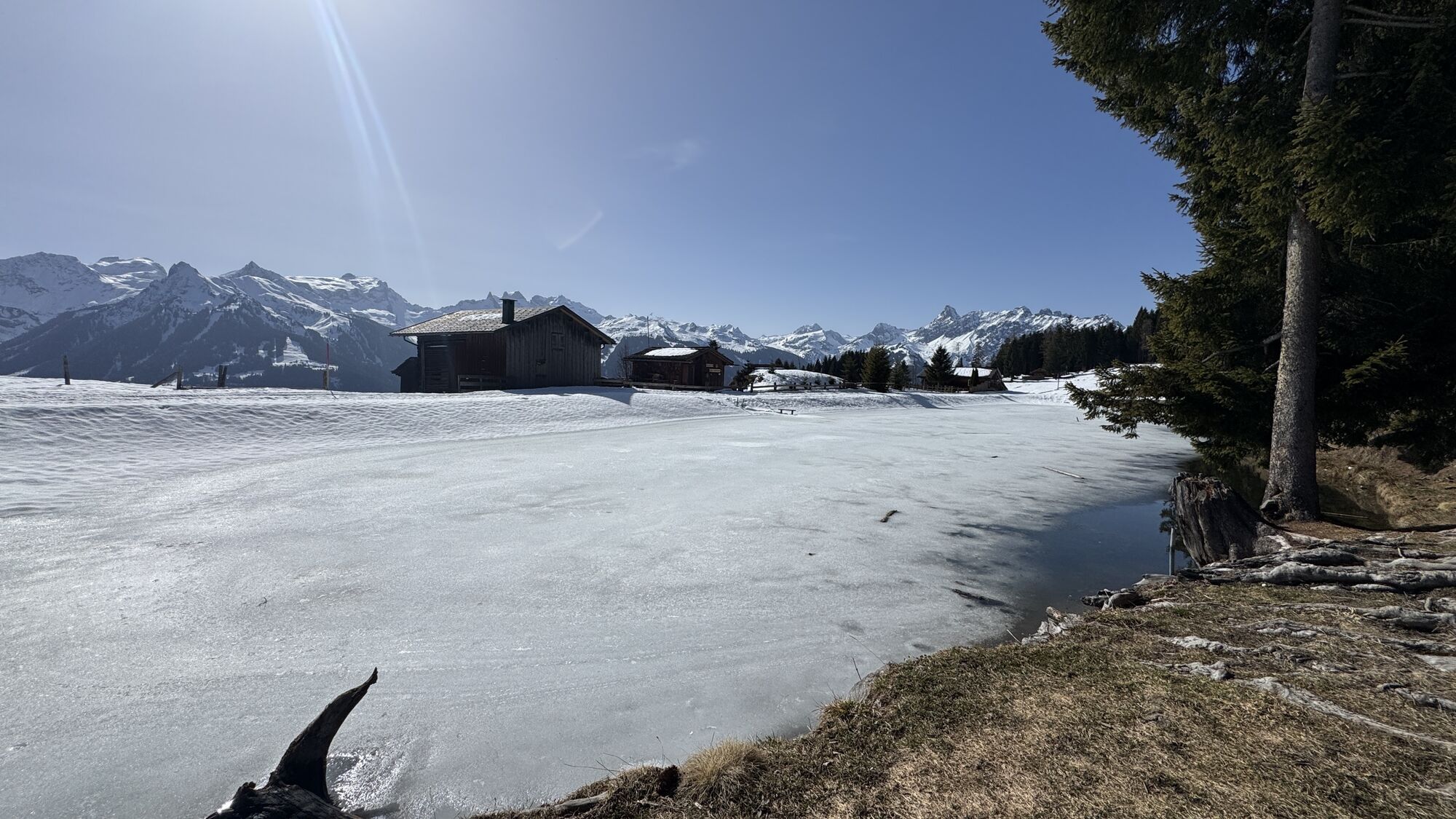
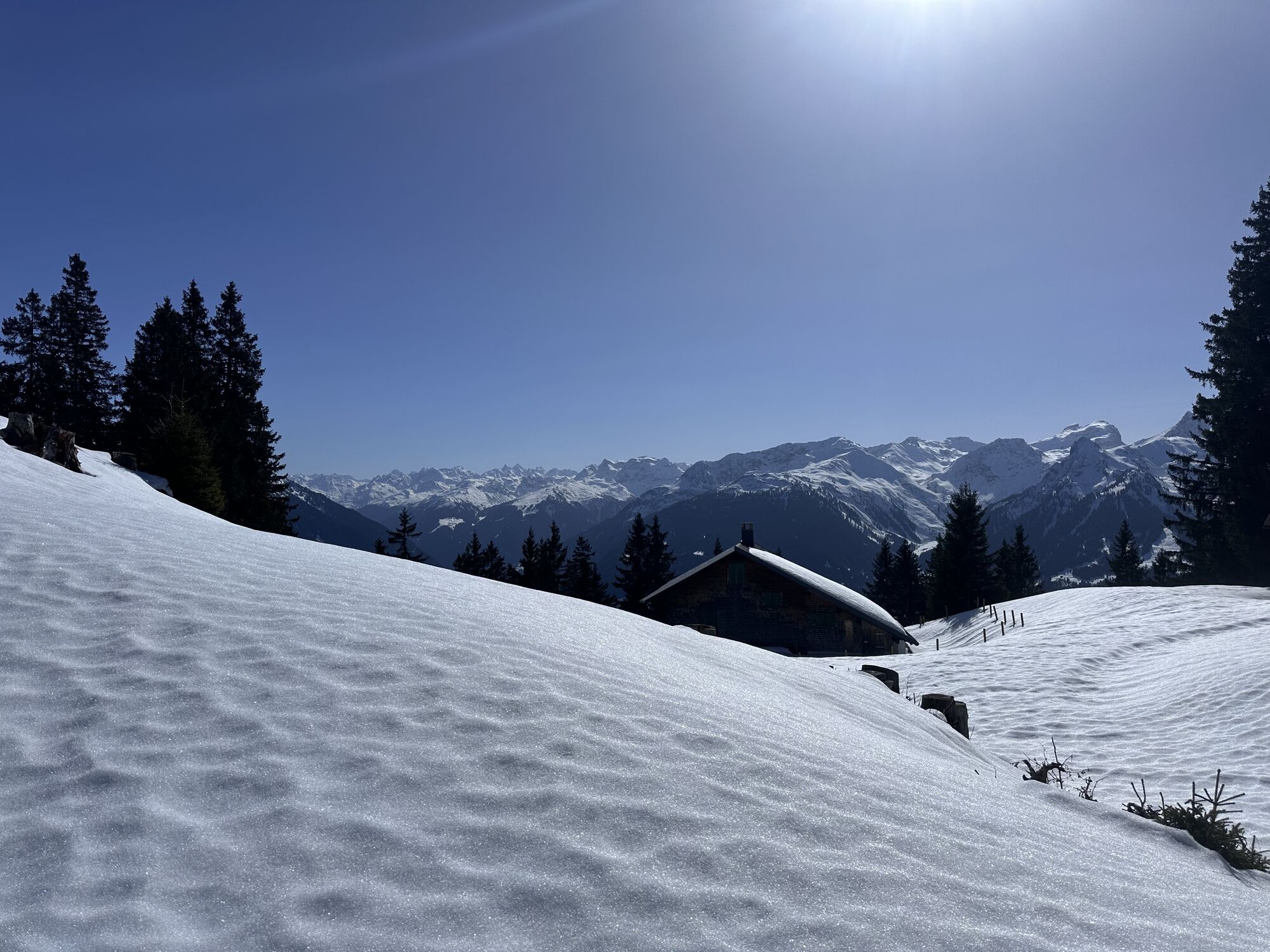
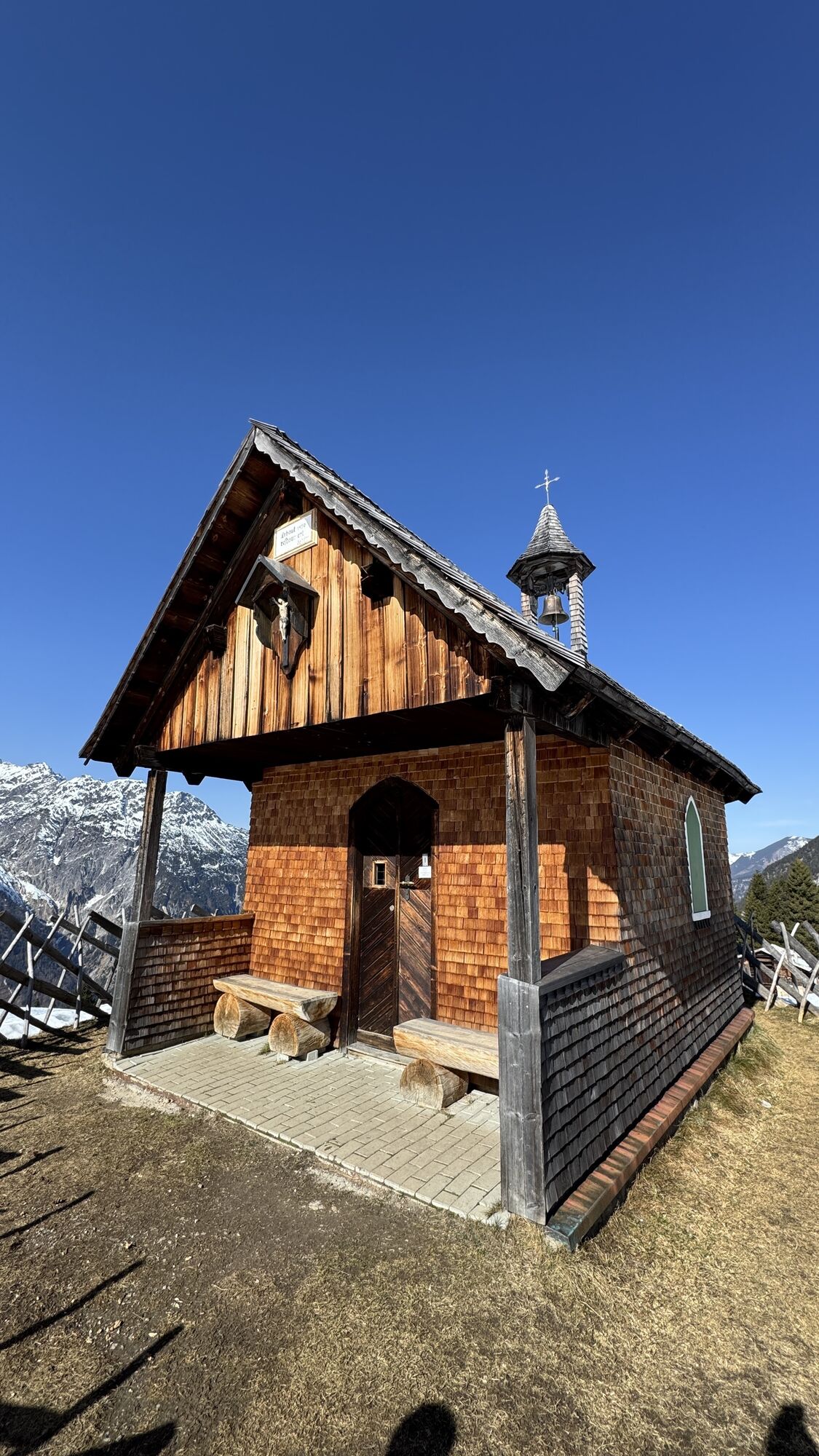
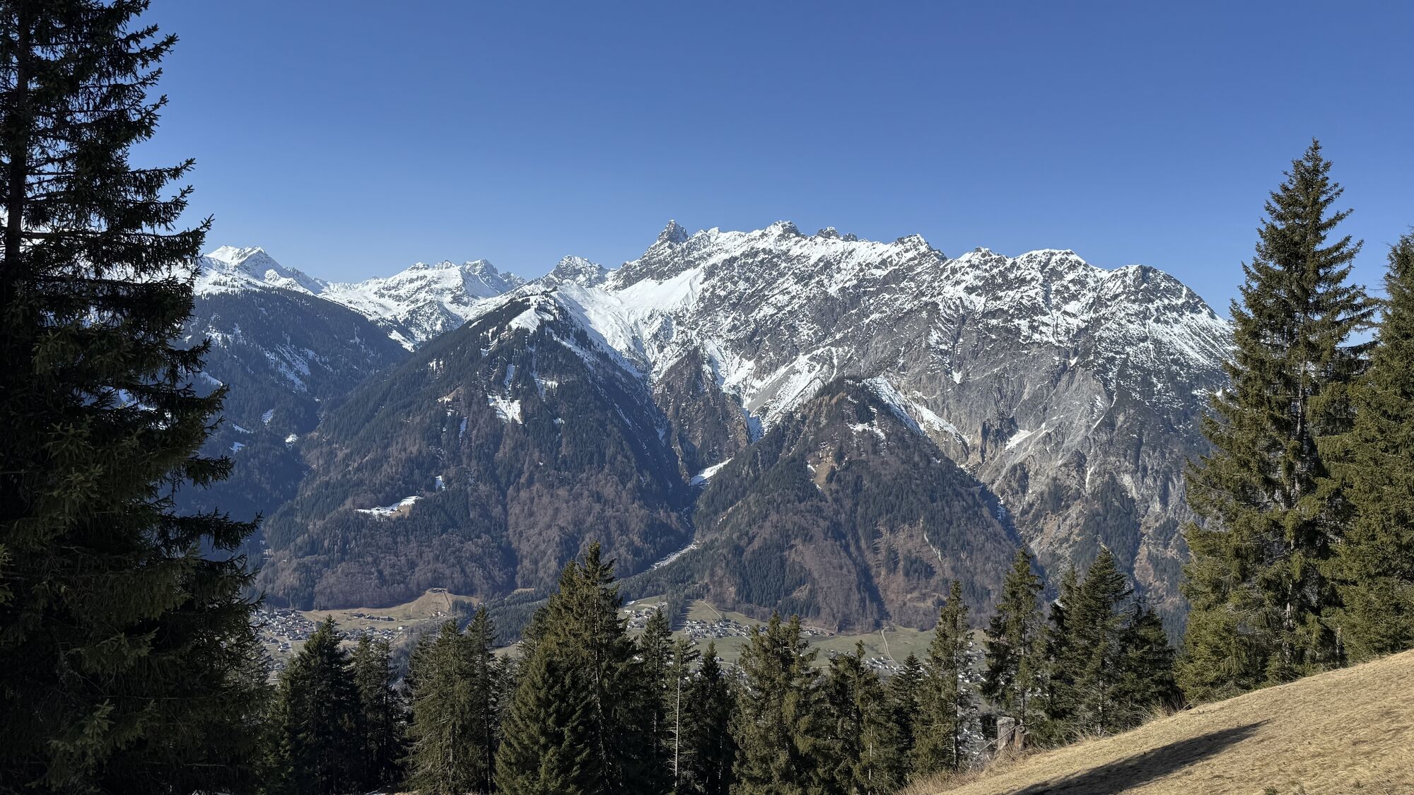
Numerous highlights await you on this route. Your path begins at the Baroque Church Bartholomäberg and takes you directly to the first highlight of this route: the Rellseck. From here you enjoy a fantastic...
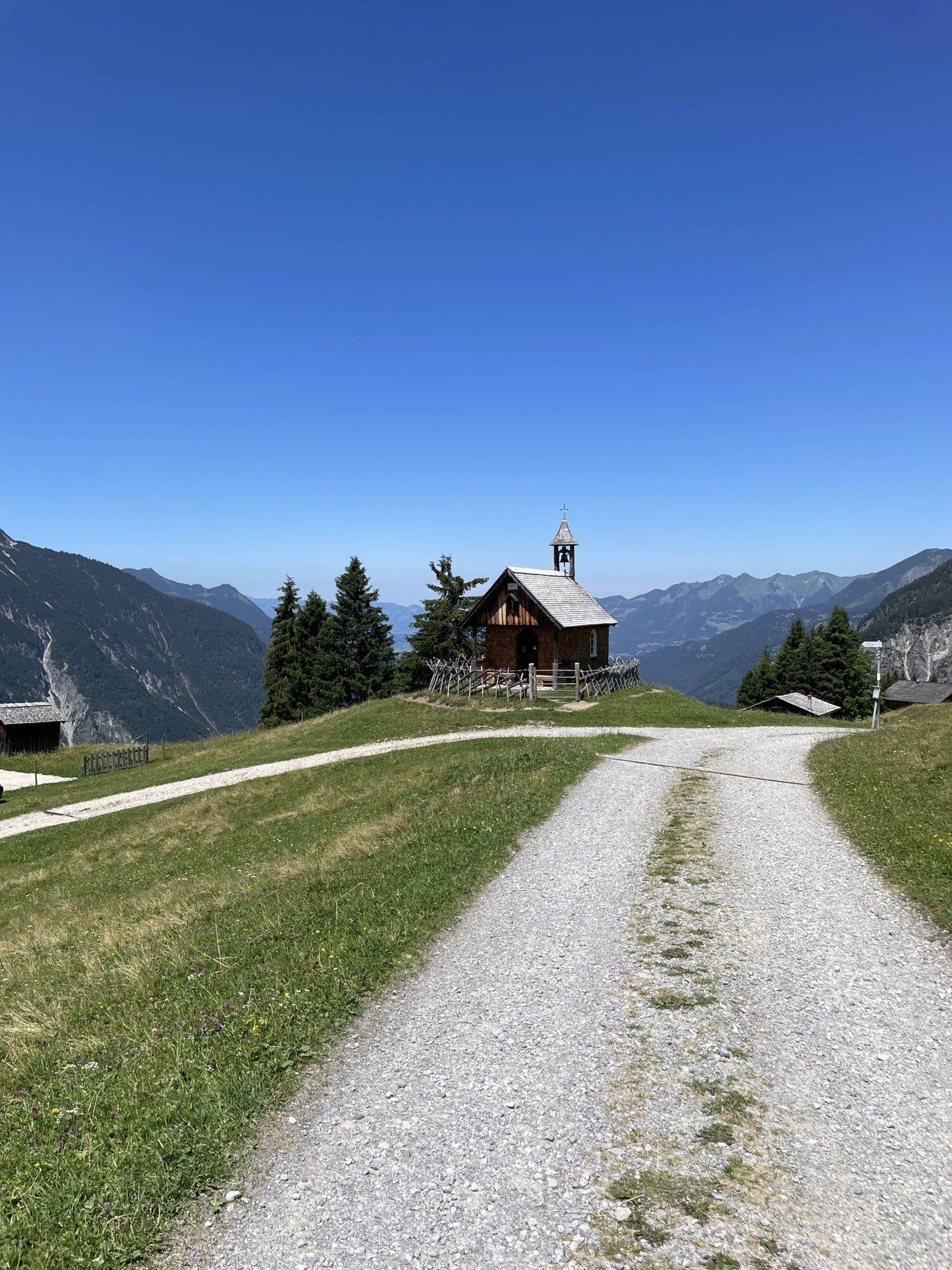
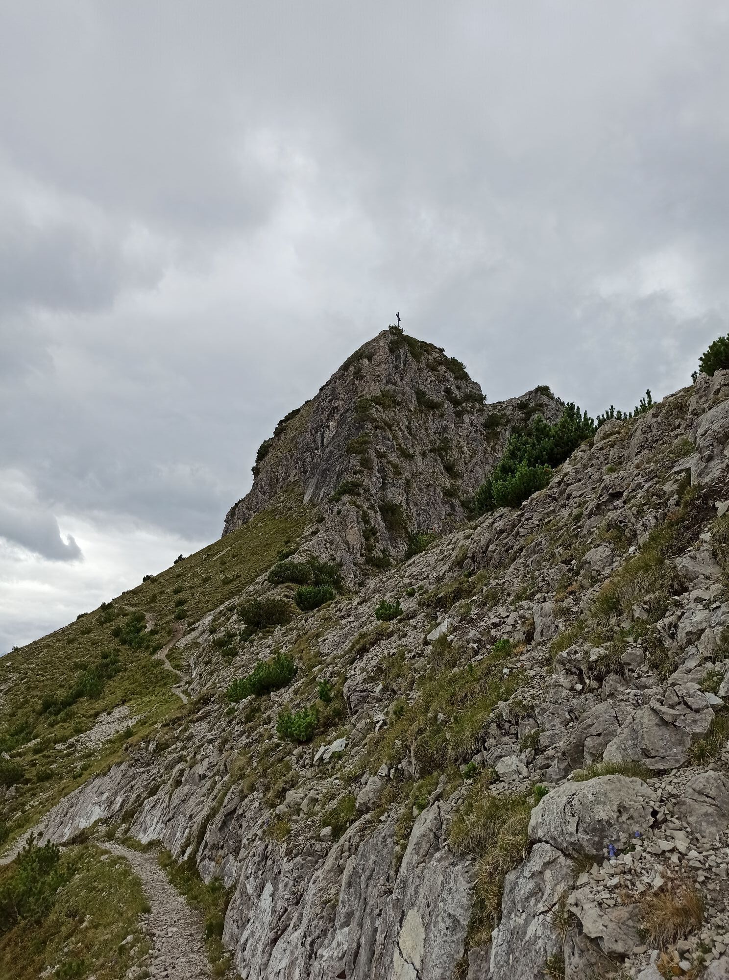
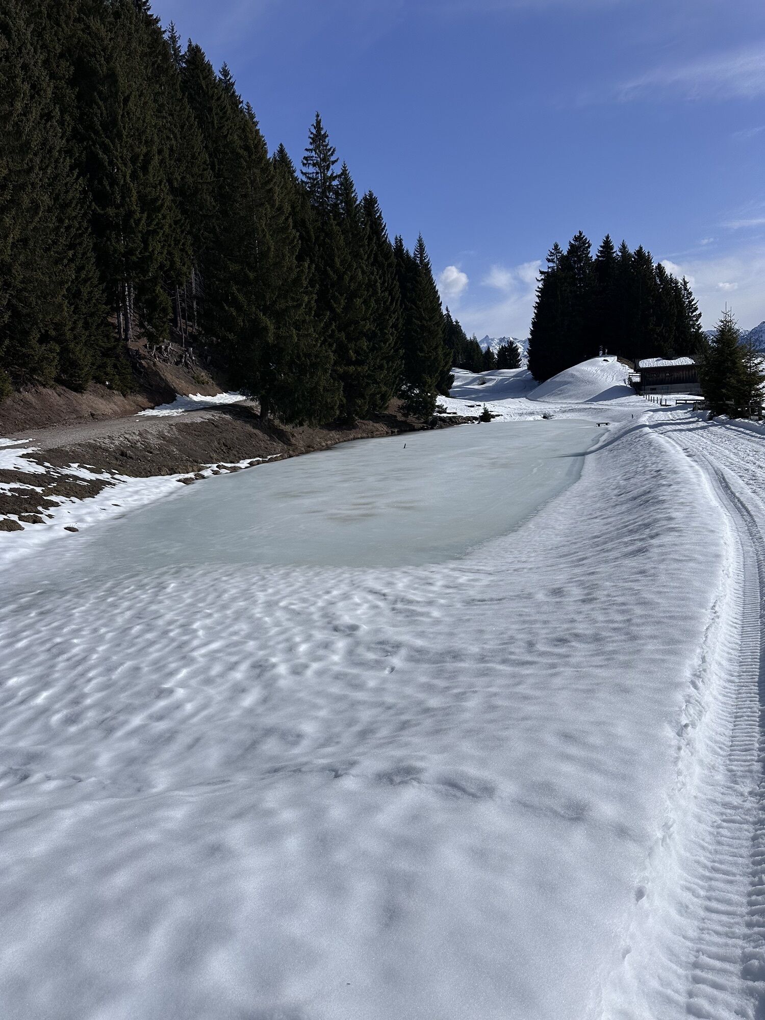
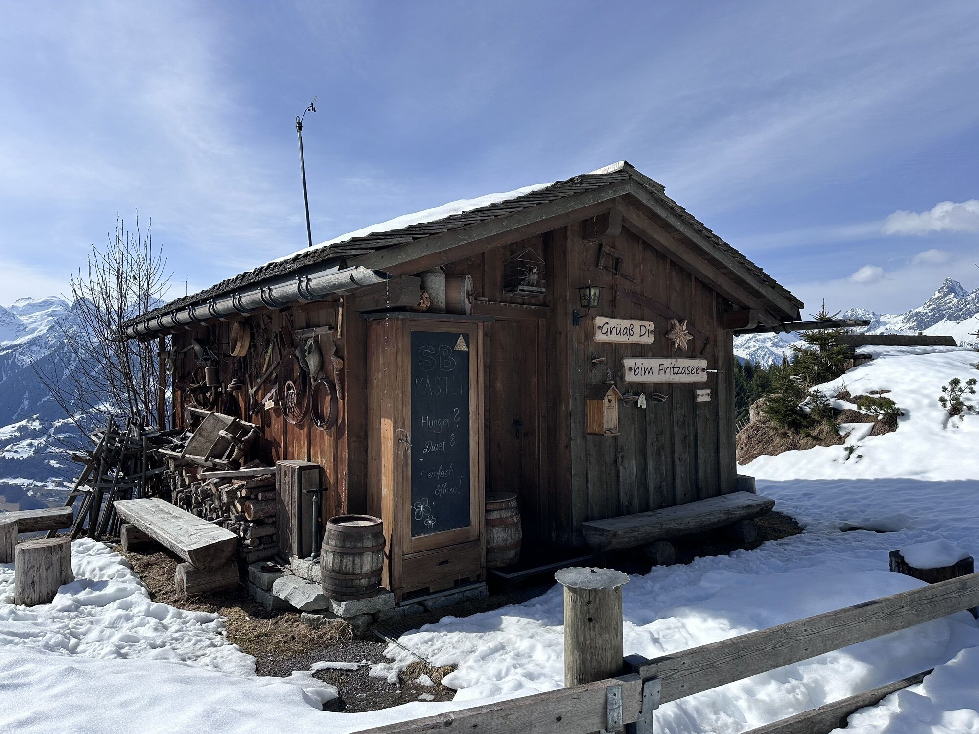
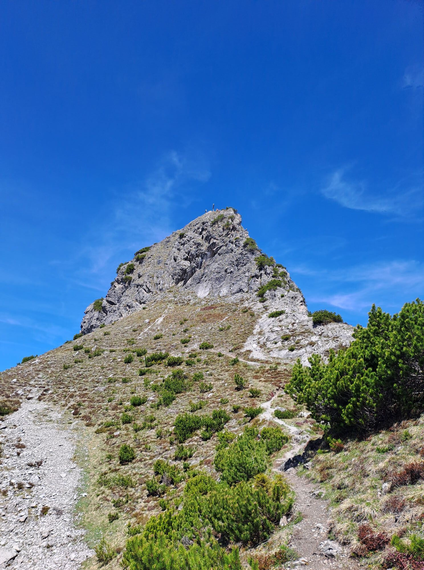
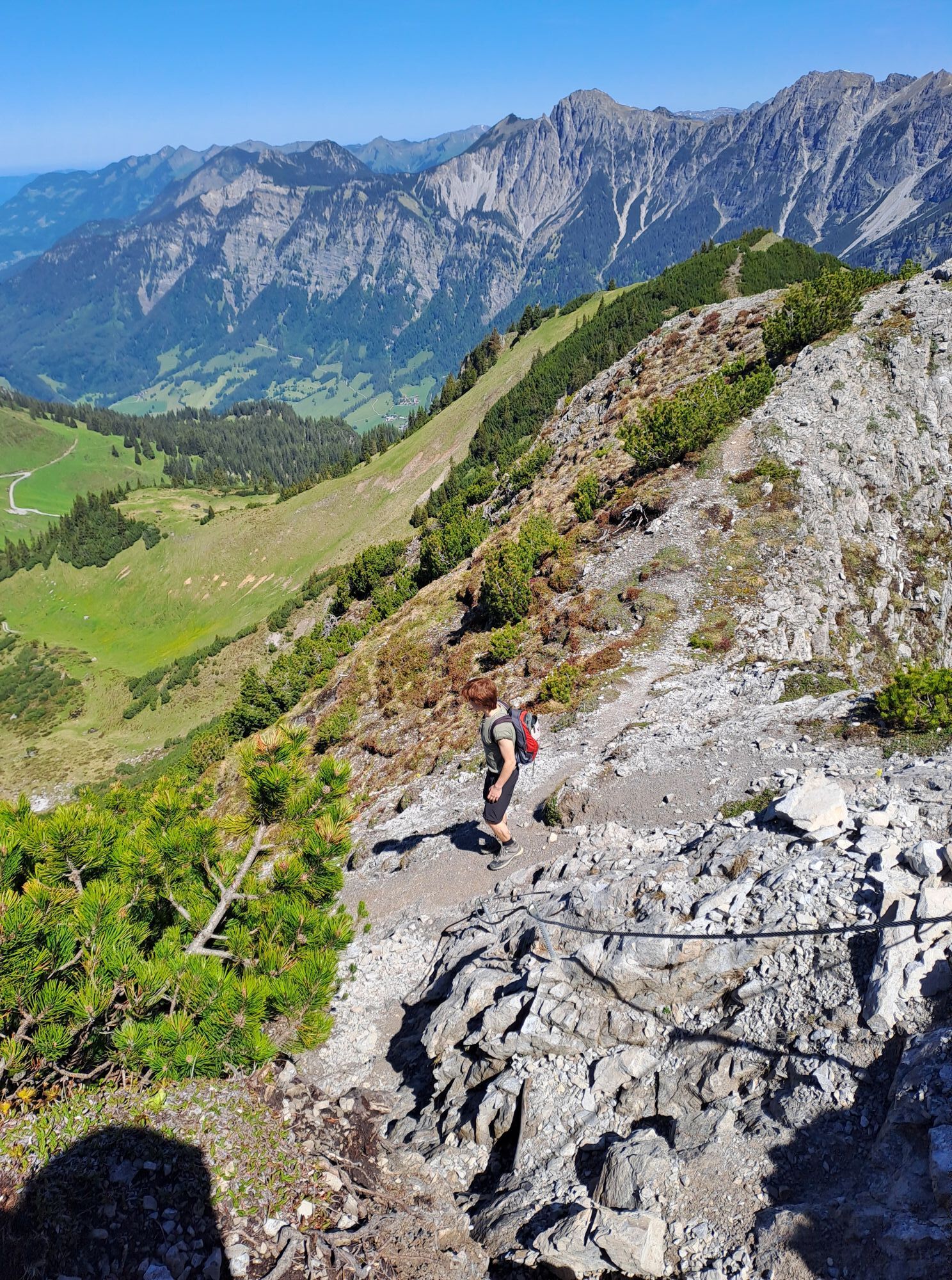
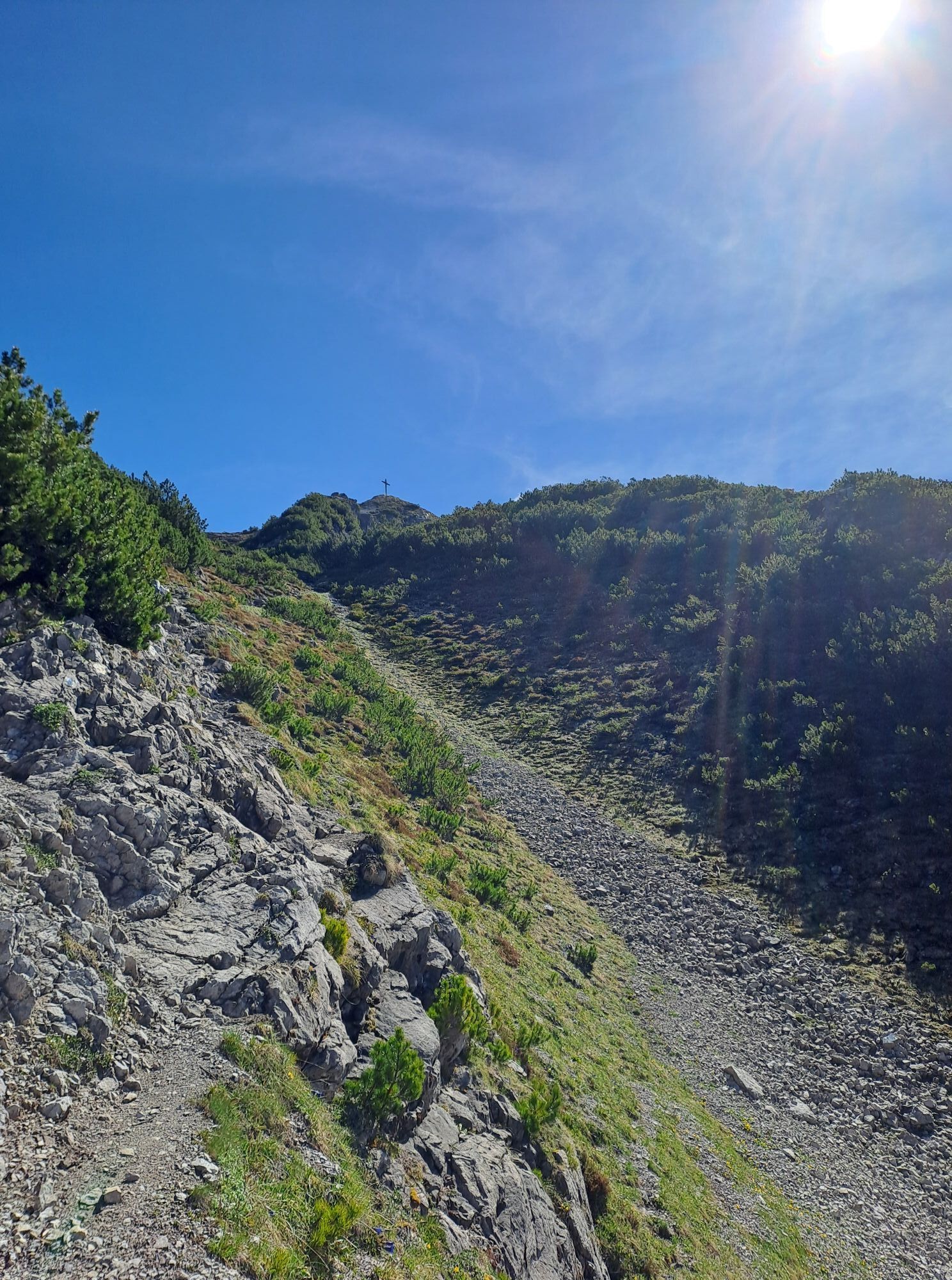
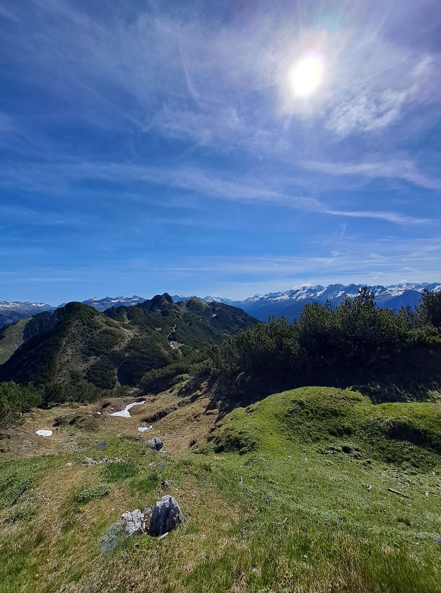
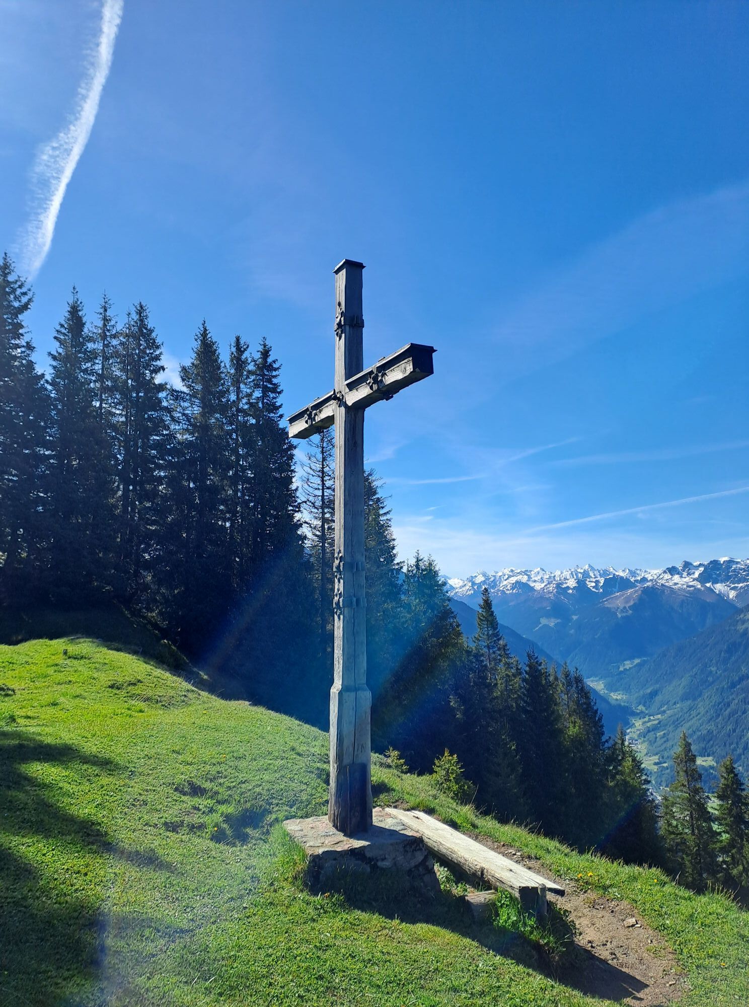
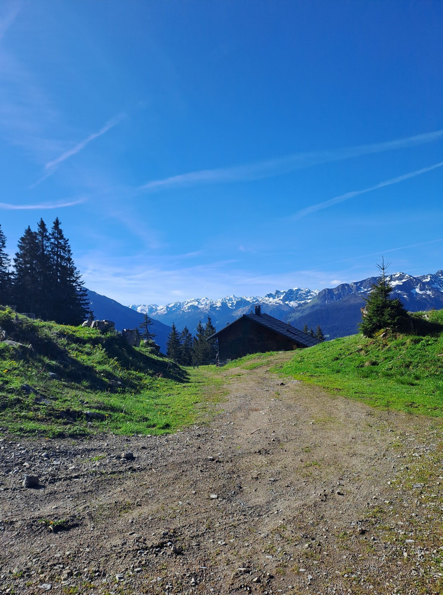
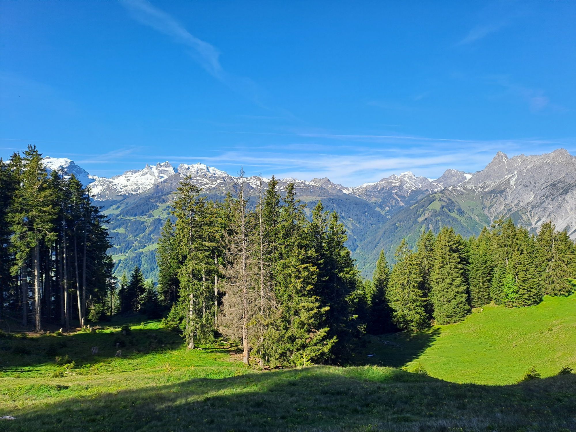
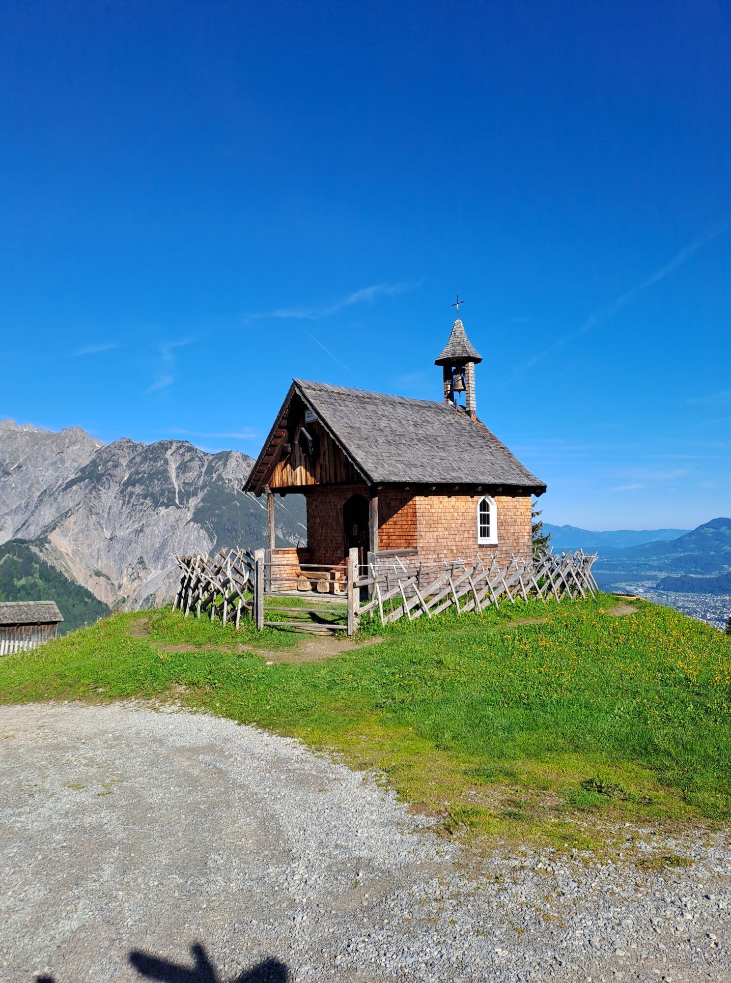
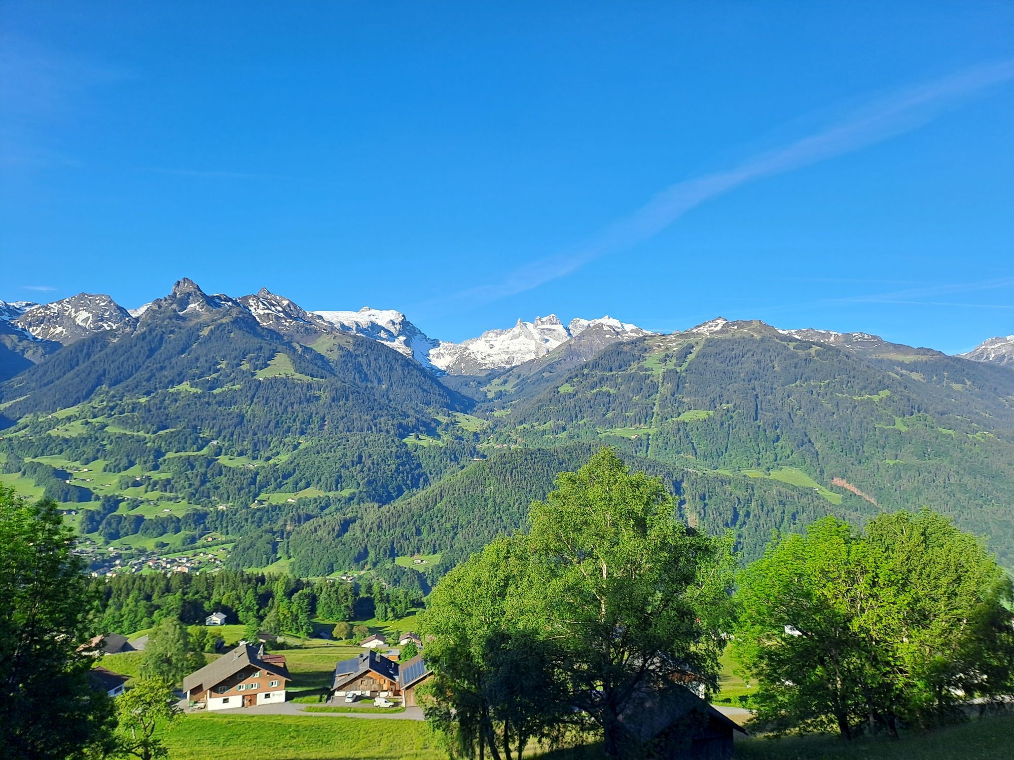
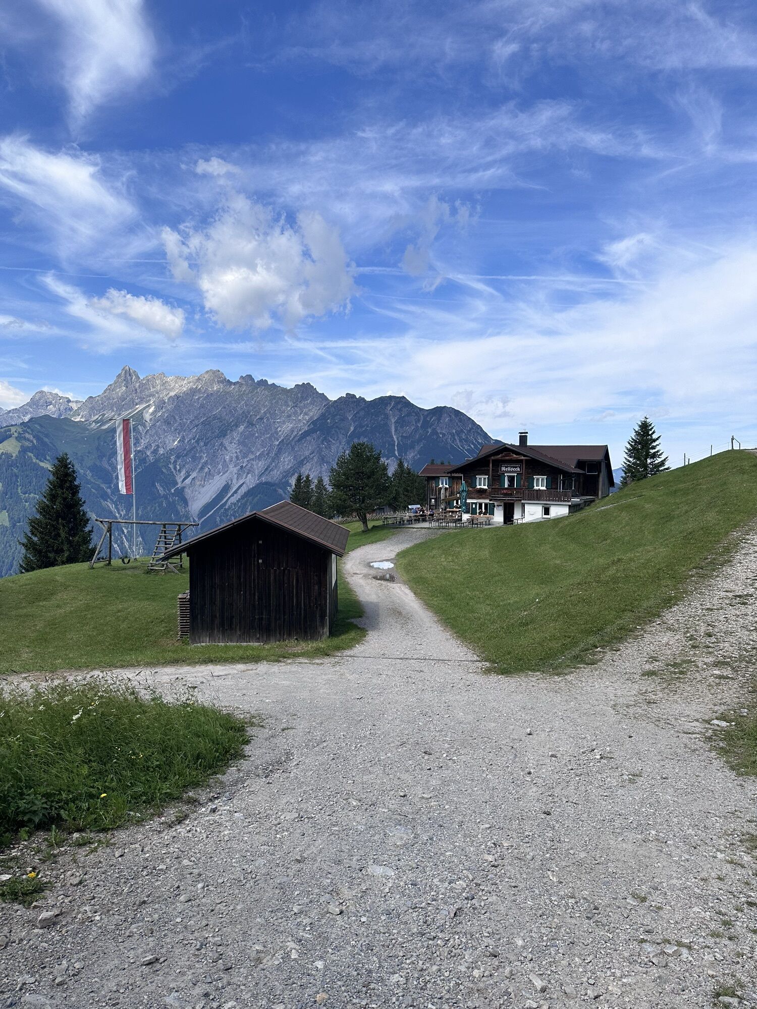
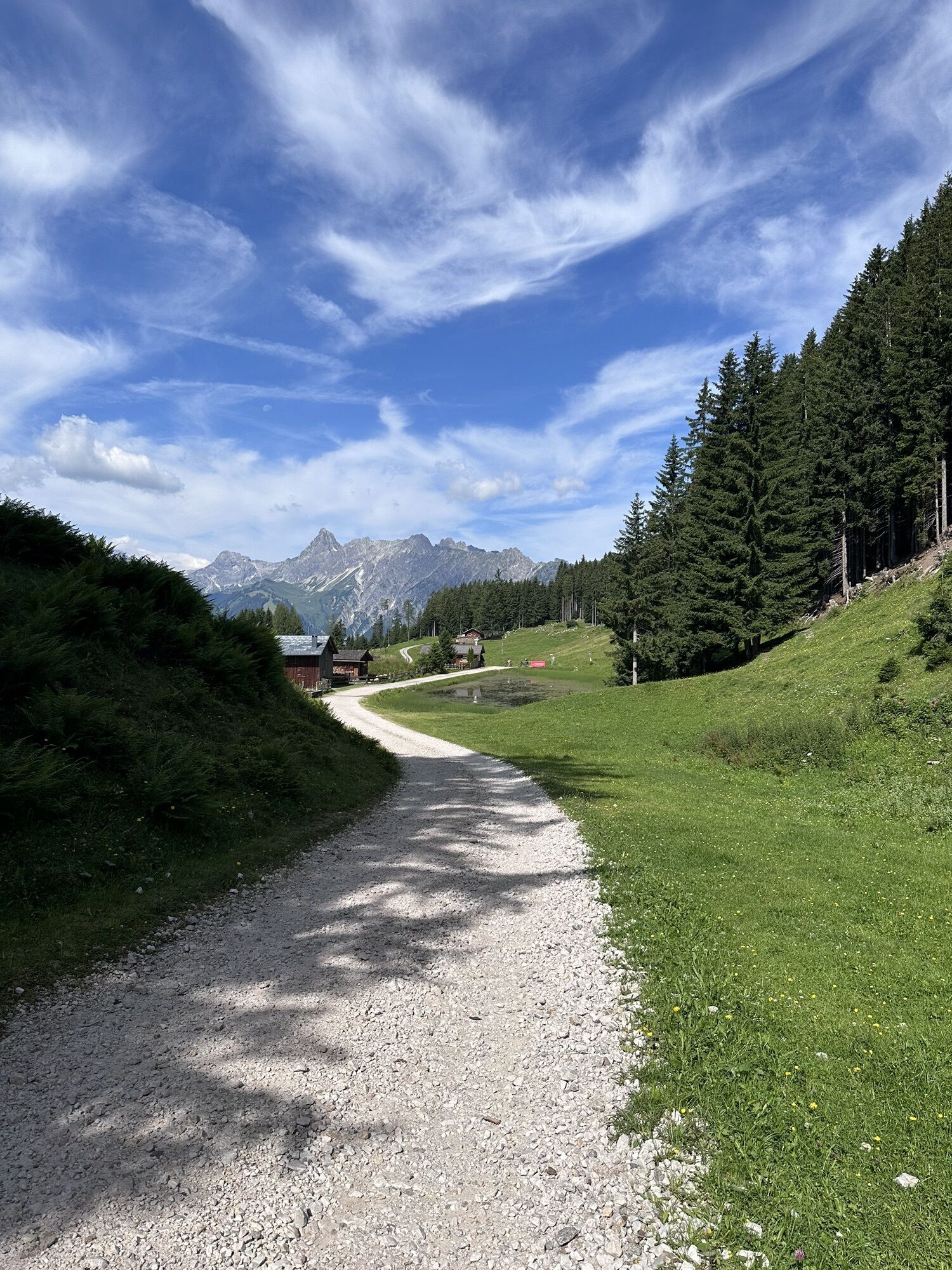
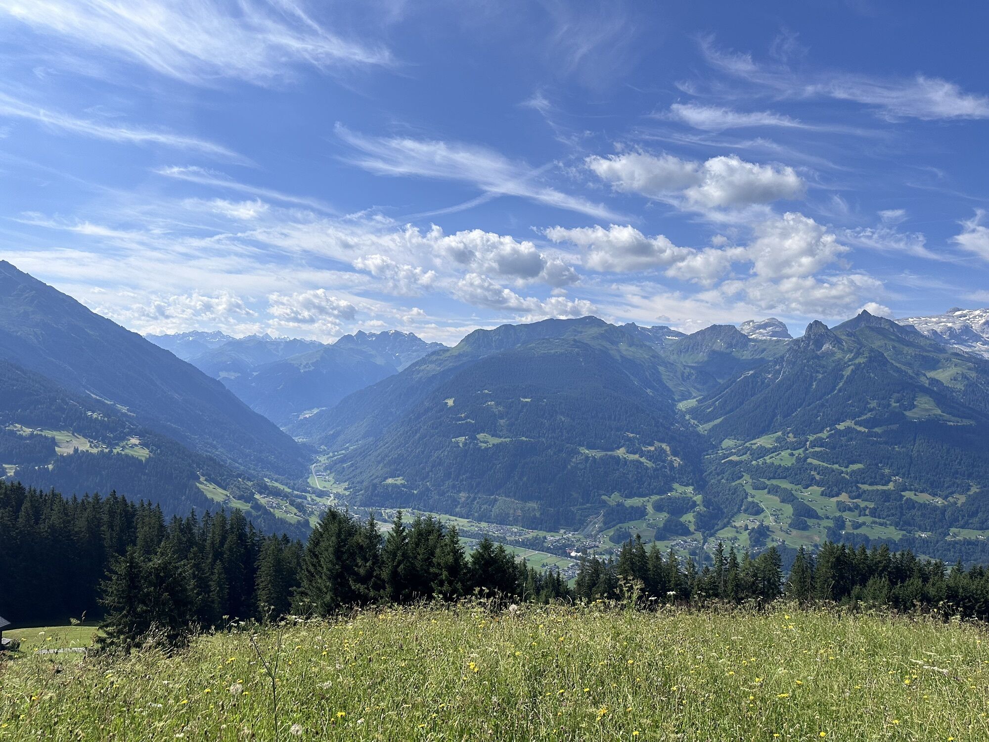
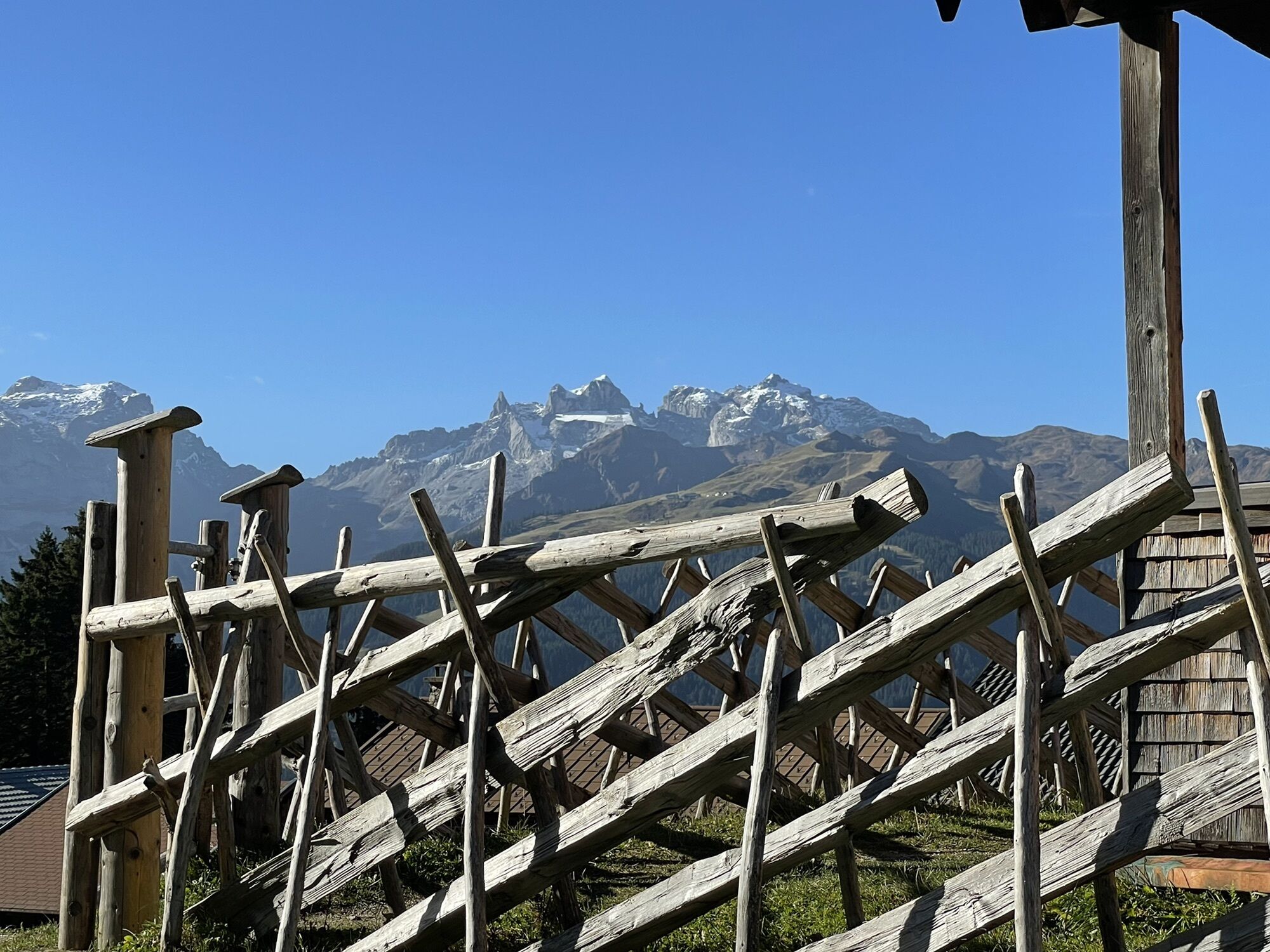
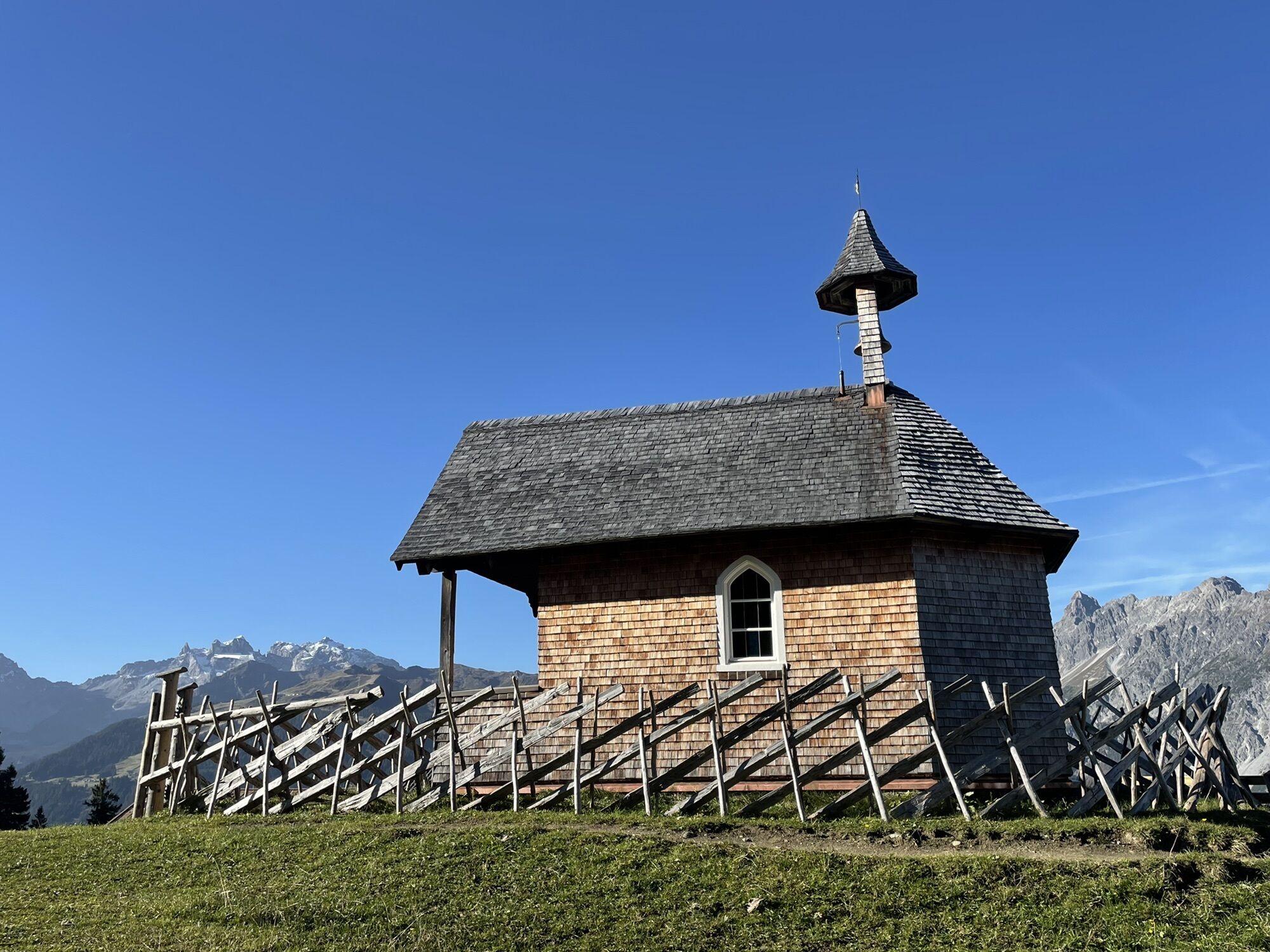
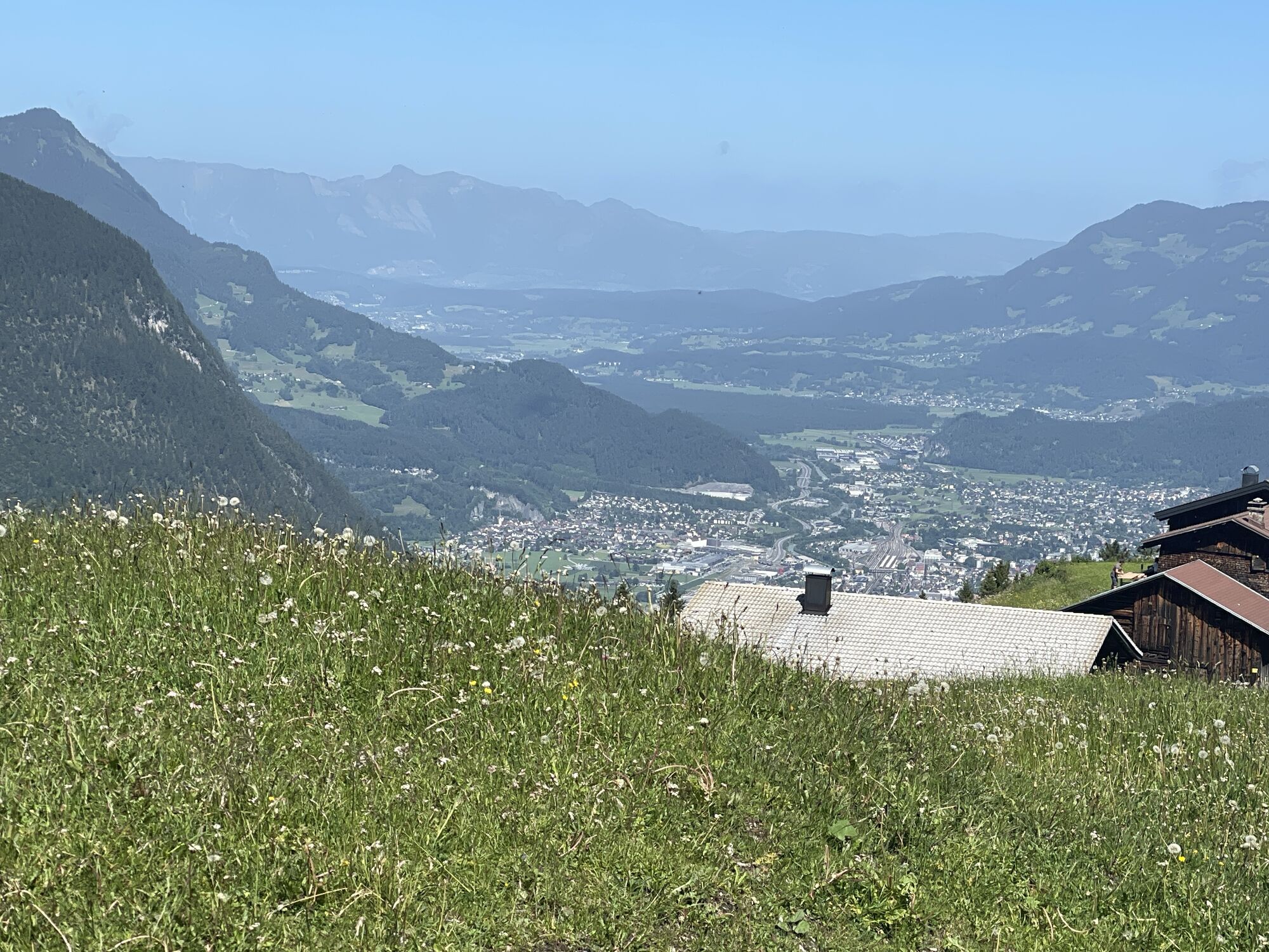
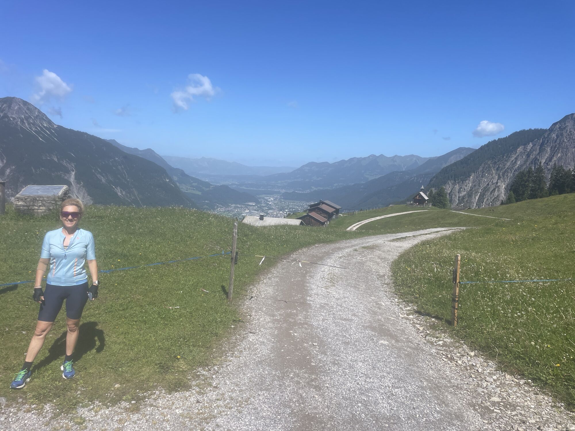
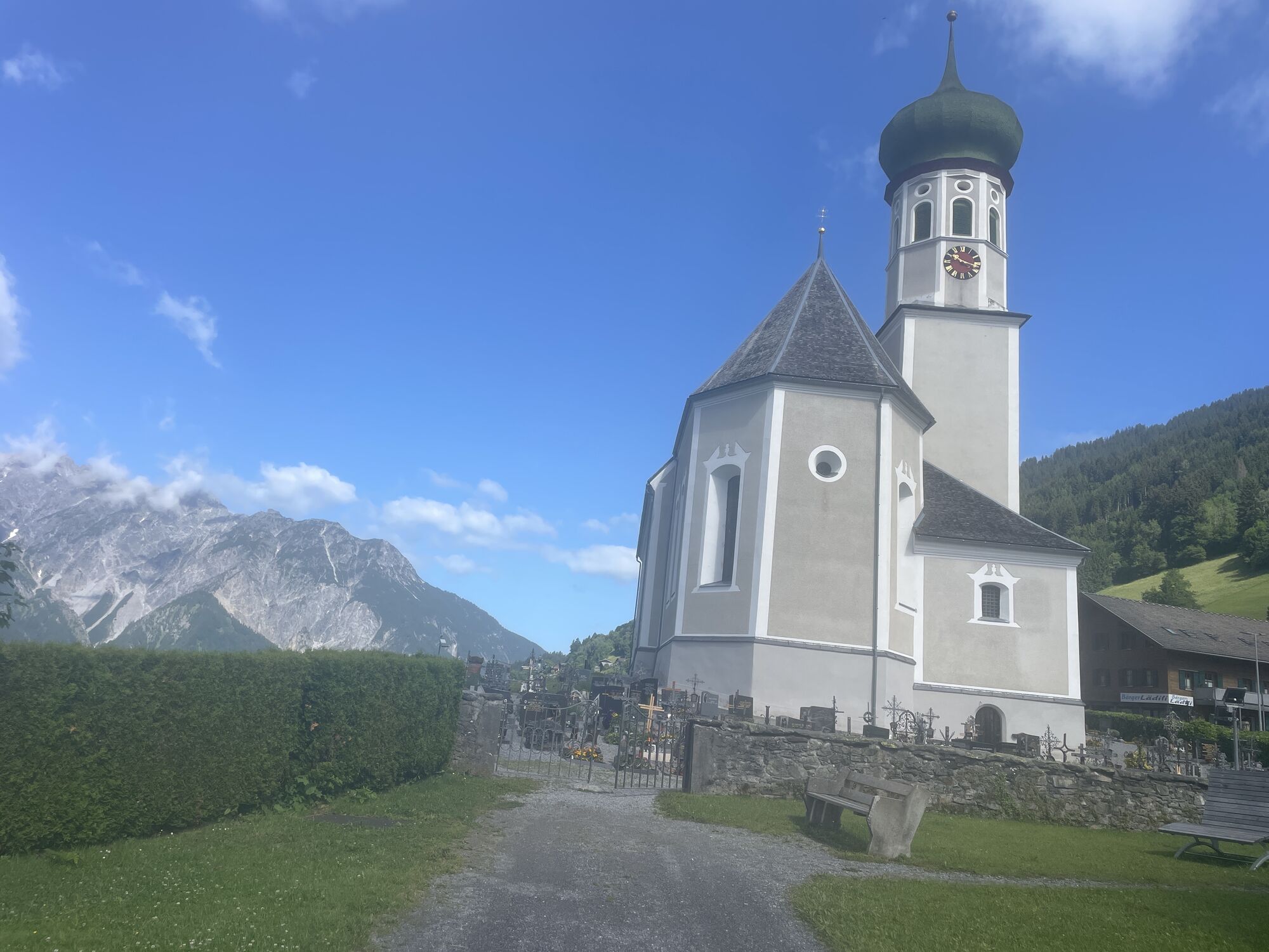
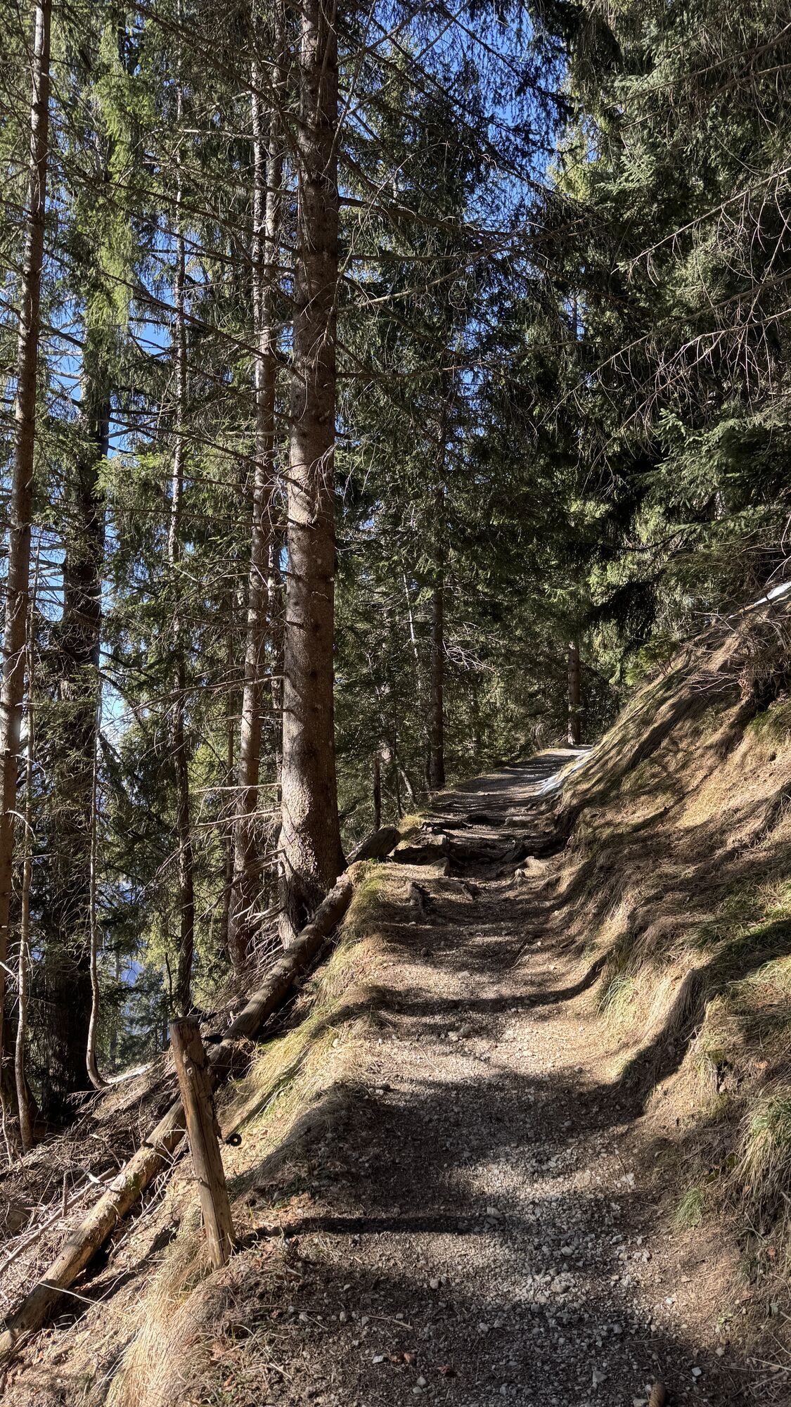
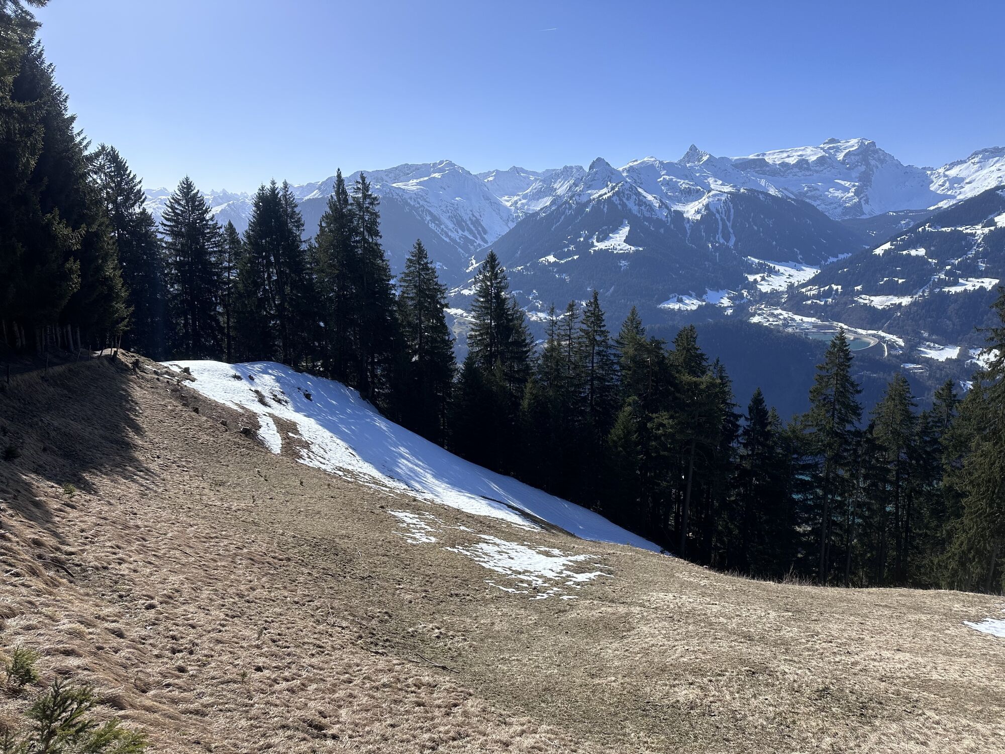
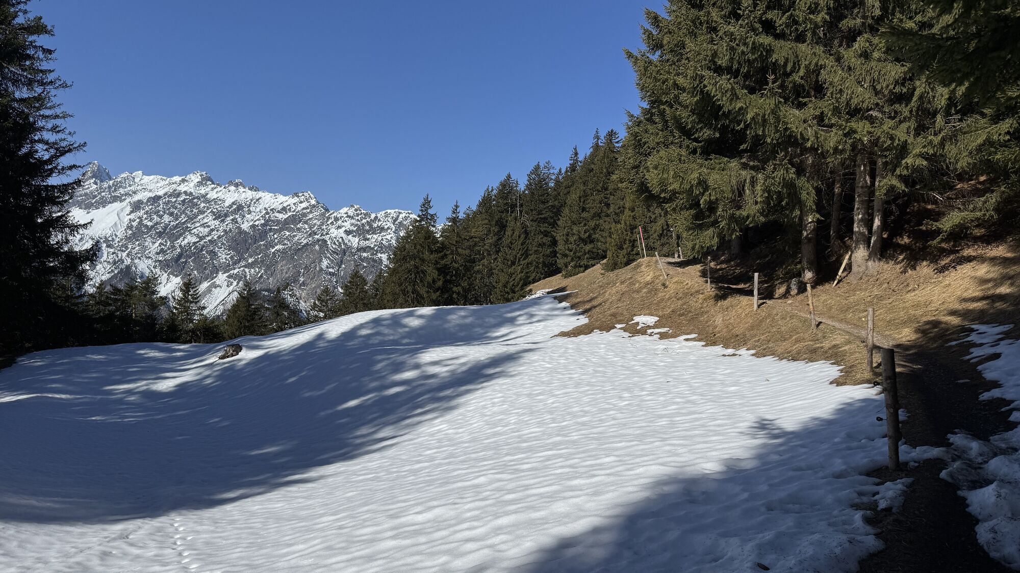
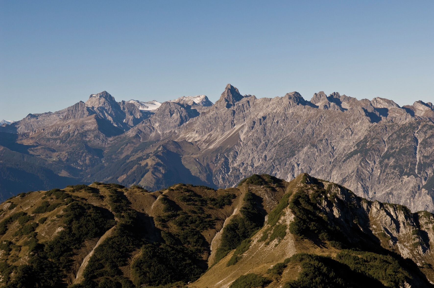
Numerous highlights await you on this route. Your path begins at the Baroque Church Bartholomäberg and takes you directly to the first highlight of this route: the Rellseck. From here you enjoy a fantastic view over the Alpine town of Bludenz and the Walgau. If you are already feeling hungry, you have the opportunity to refresh yourself at the Alpengasthaus Rellseck. From the magnificent viewpoint, which is also marked with a cross, you continue towards Itonskopf. Leaving the Wannaköpfe to your left behind, you are now directly on course towards the summit. For the last section up to the Itonskopf, you should demonstrate surefootedness. However, a steel cable provides additional safety. At the summit, you will be rewarded with a breathtaking 360-degree panorama. In every direction, you will be treated to scenic highlights. On the return journey to Bartholomäberg, you can look forward to two more highlights: the Fritzensee and the historic mine.
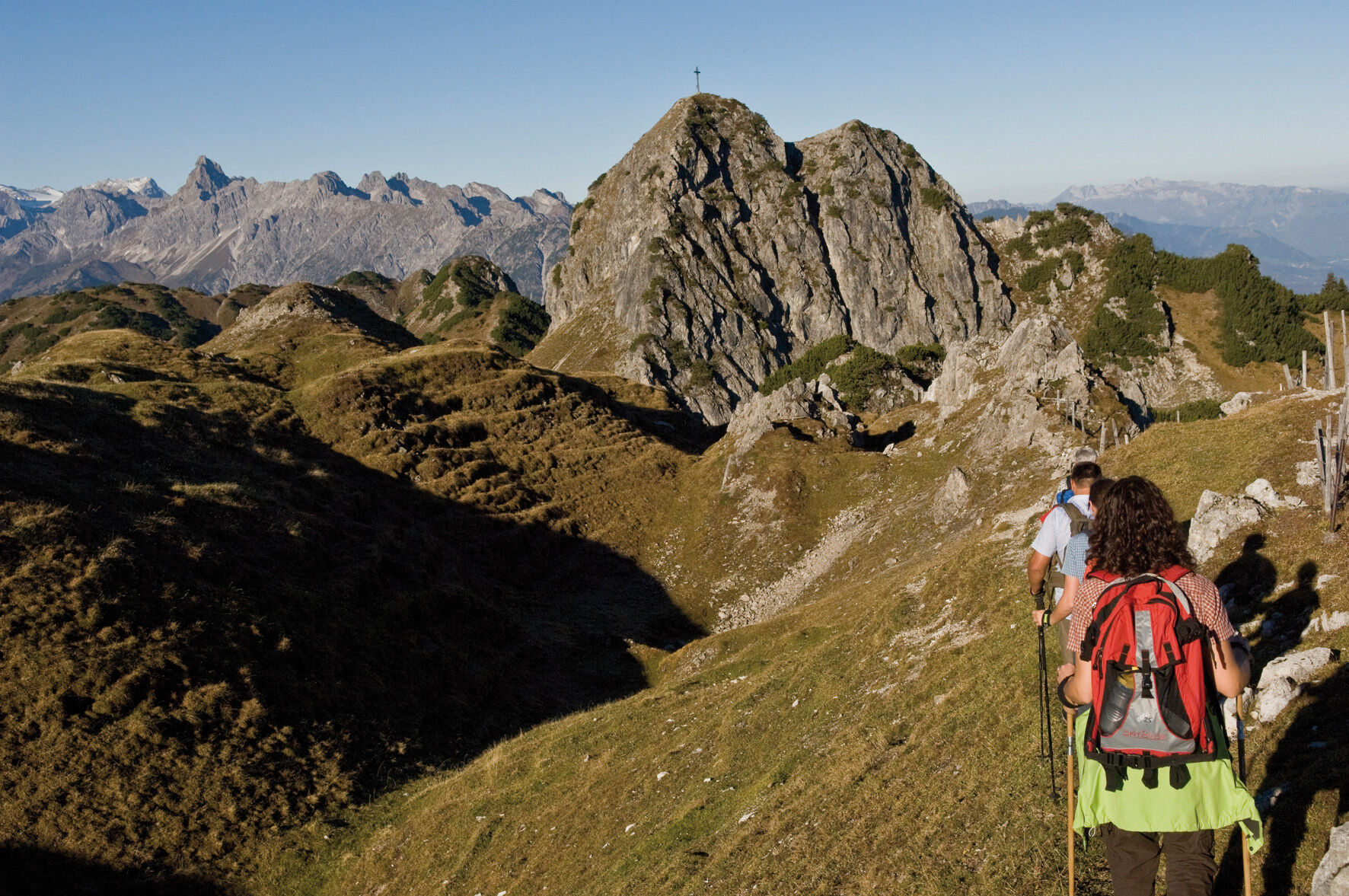
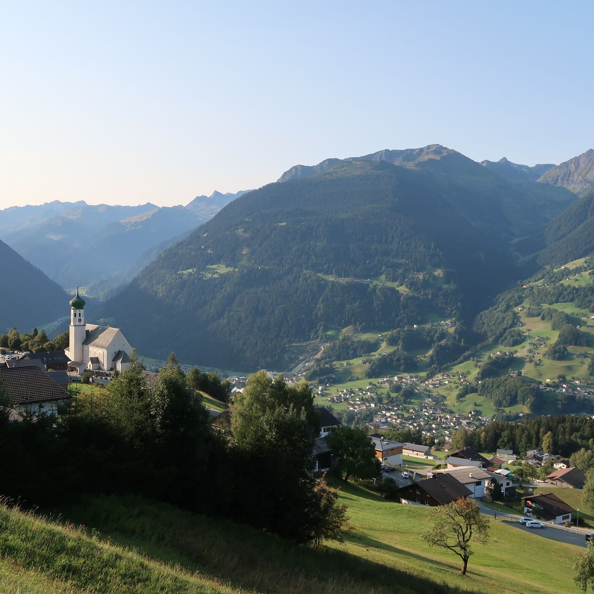
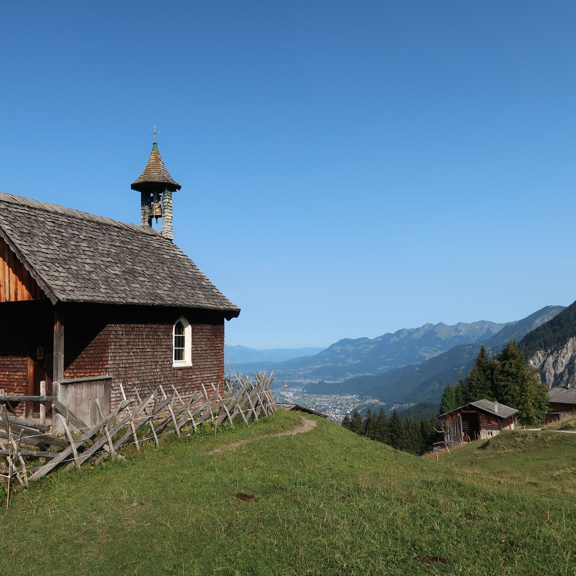

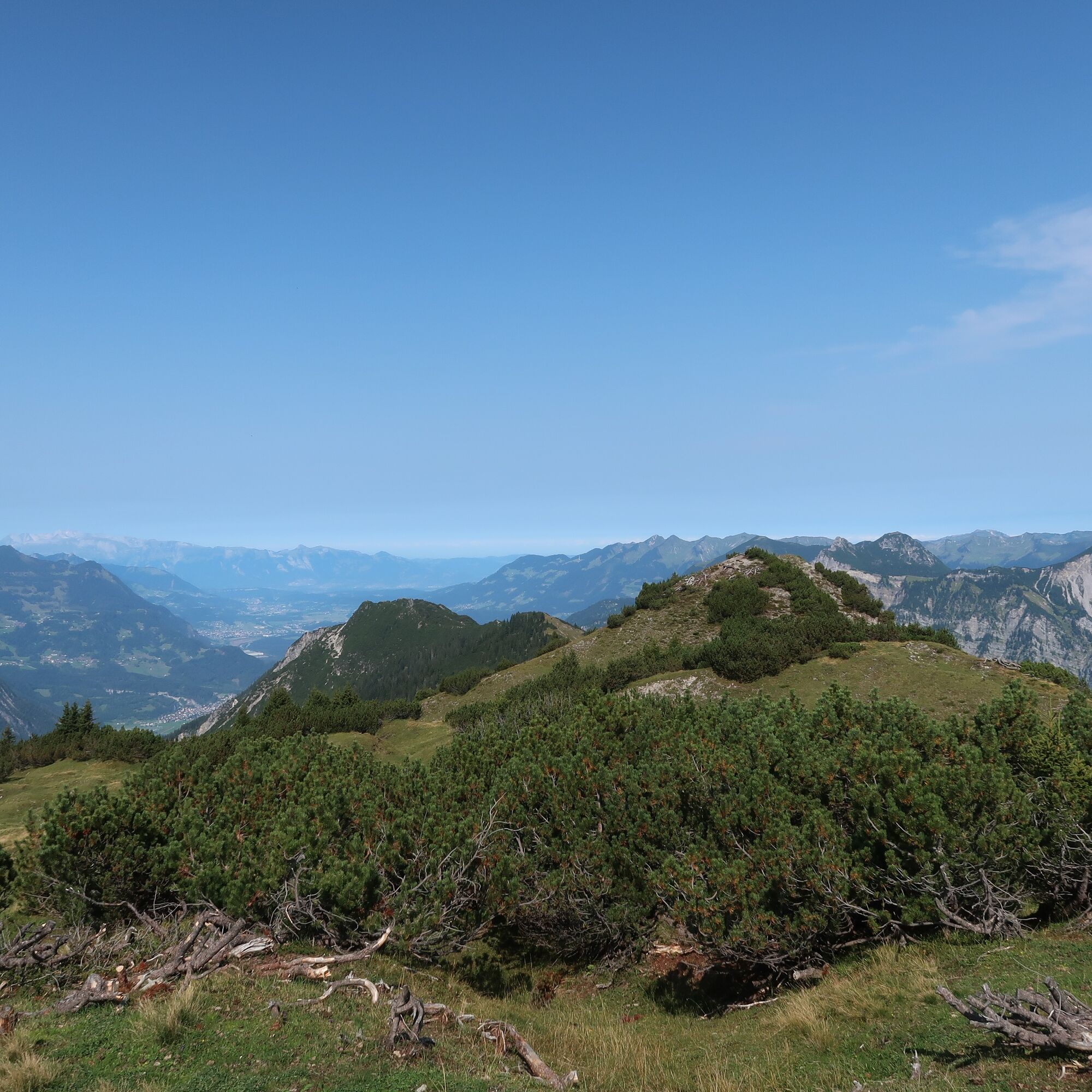
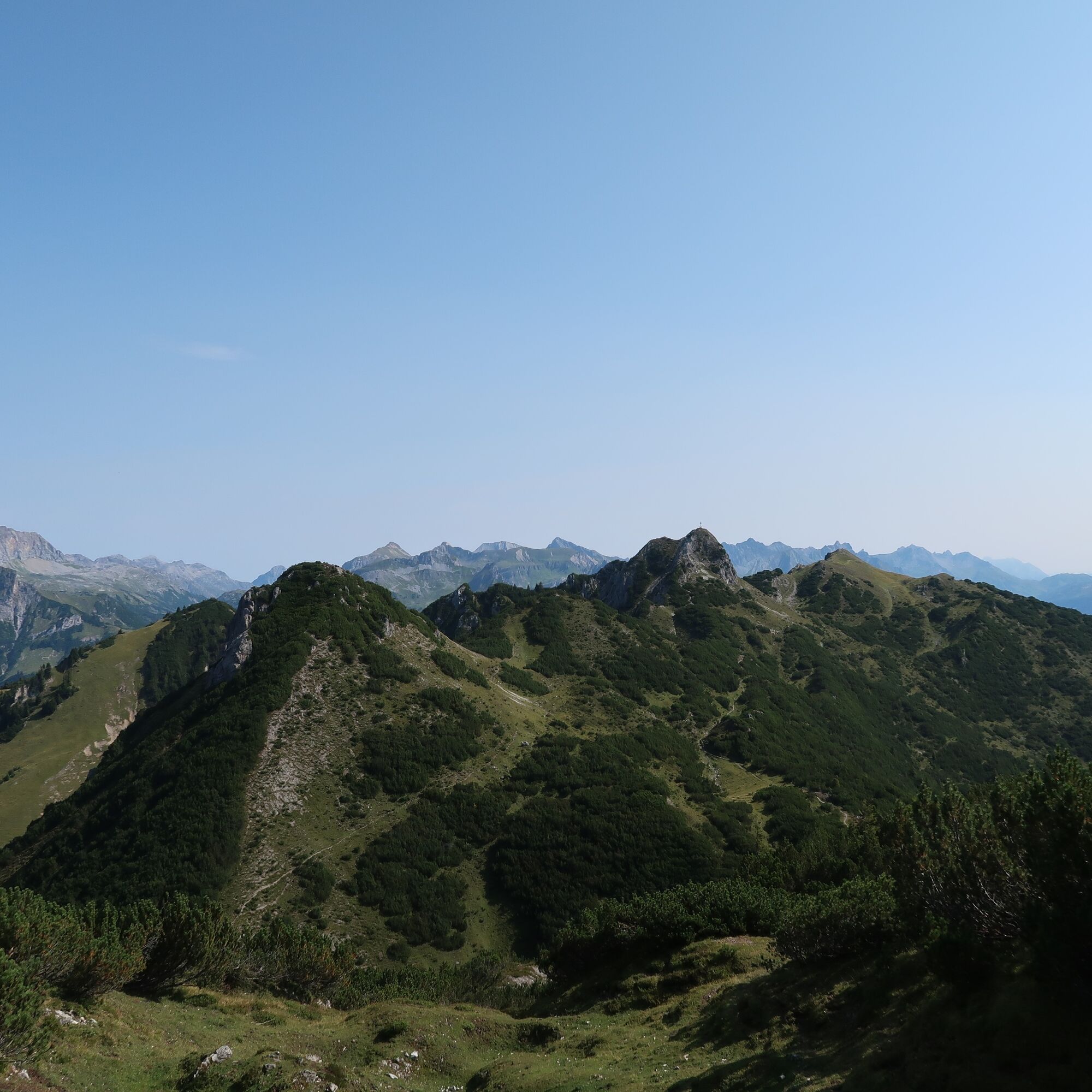
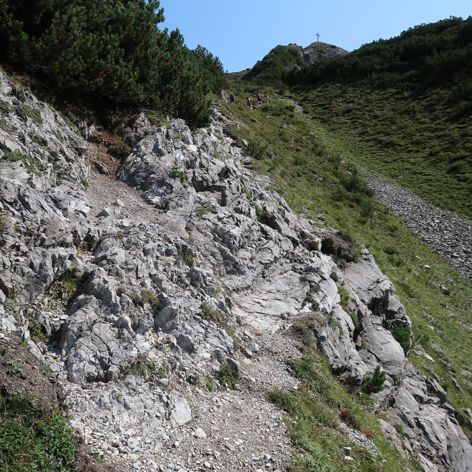
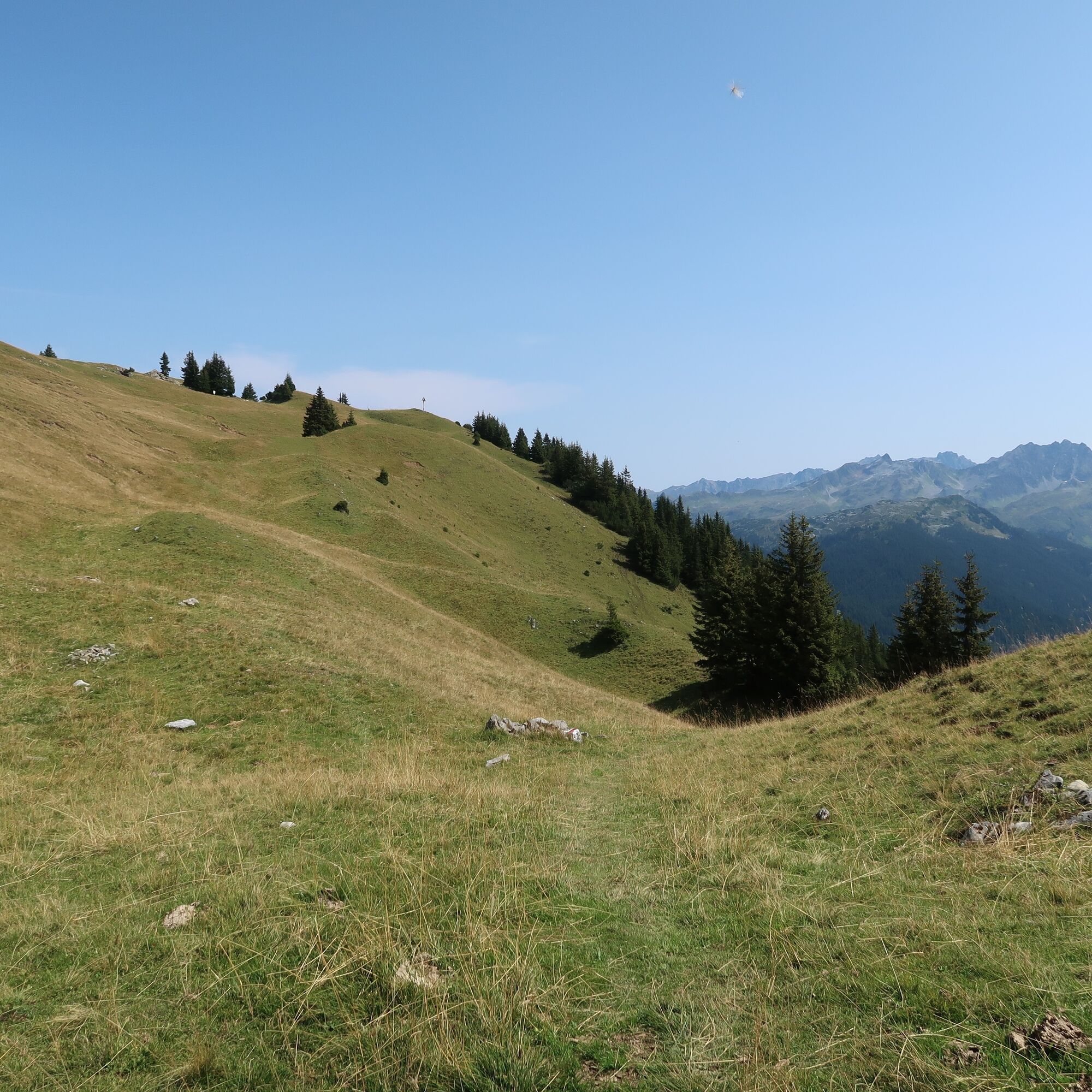
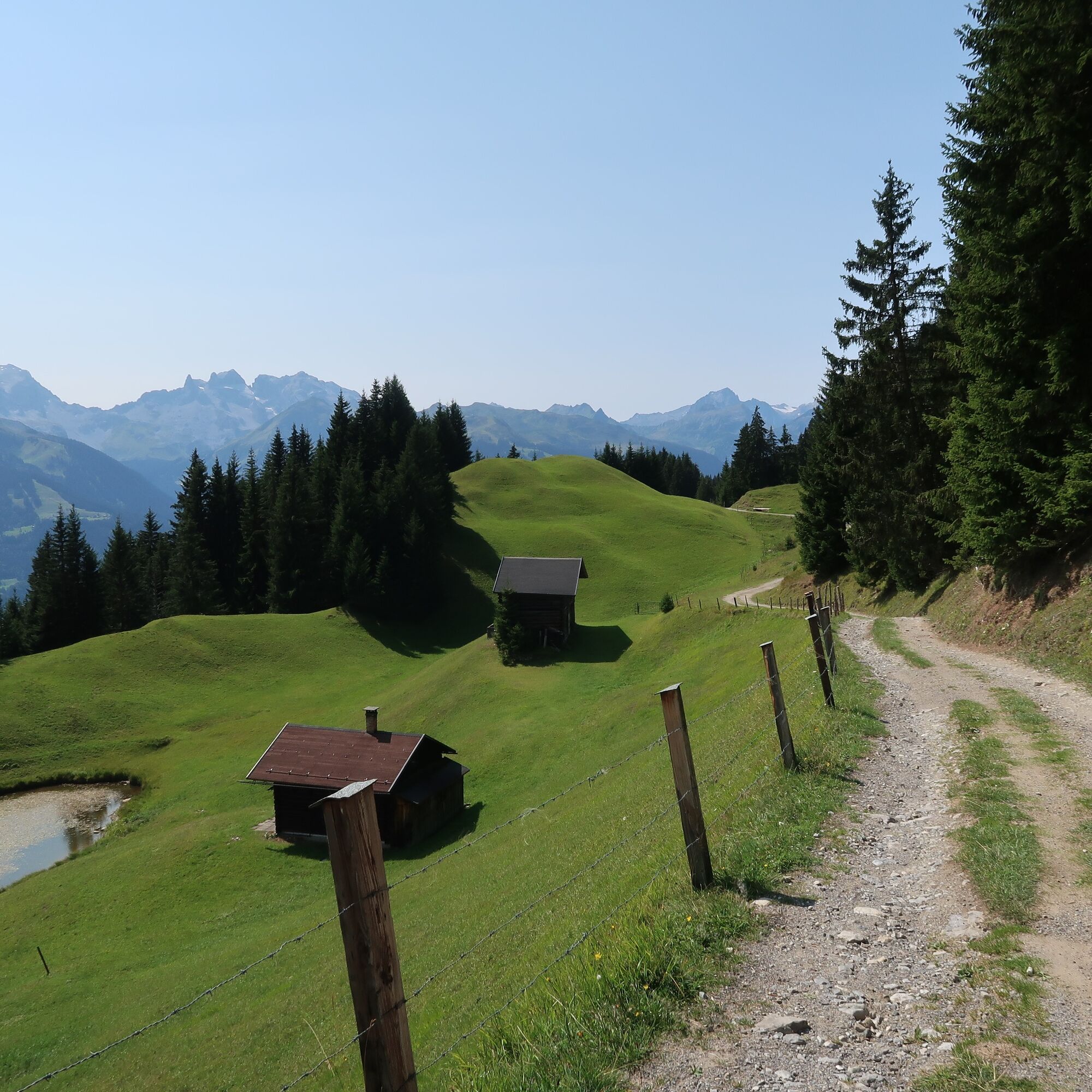
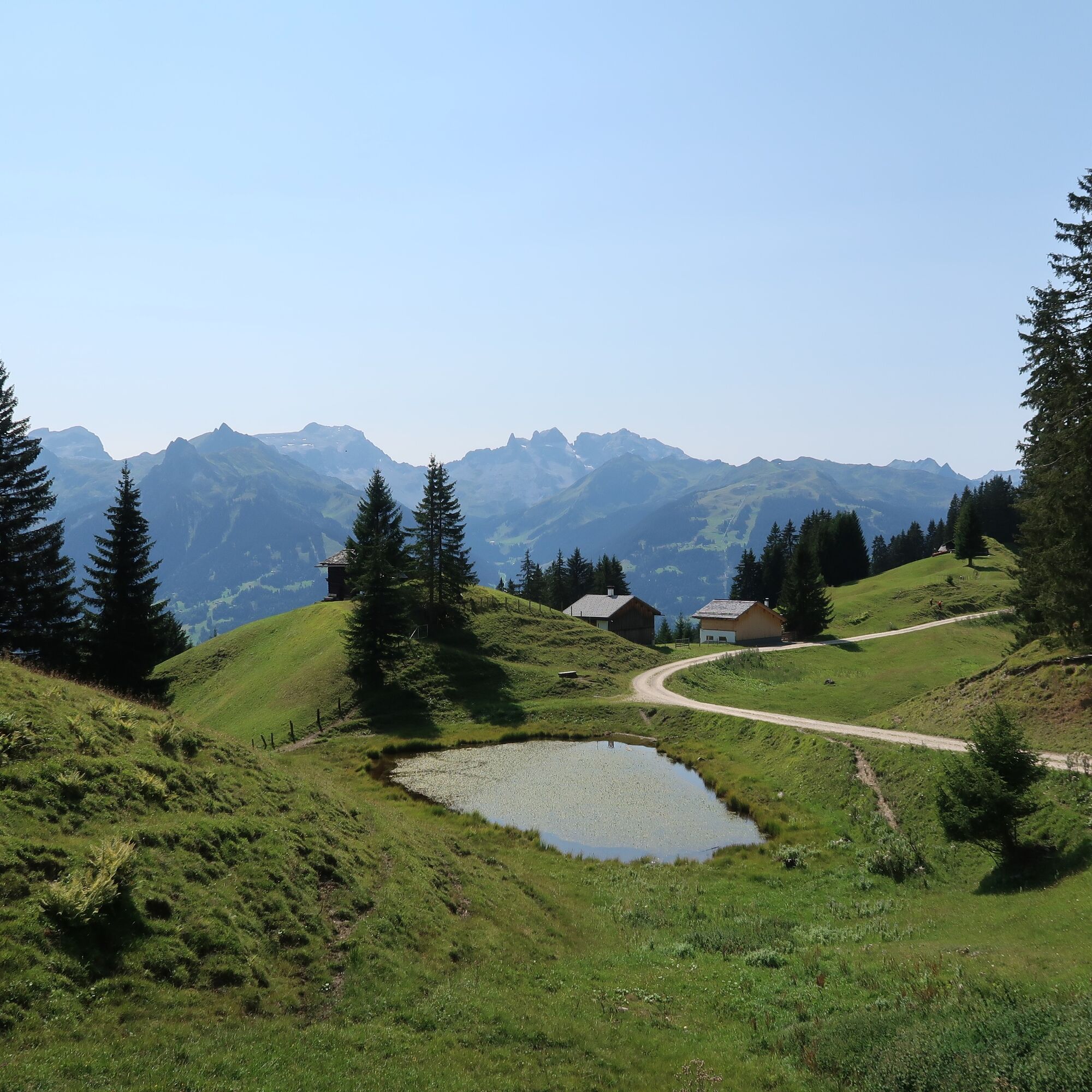
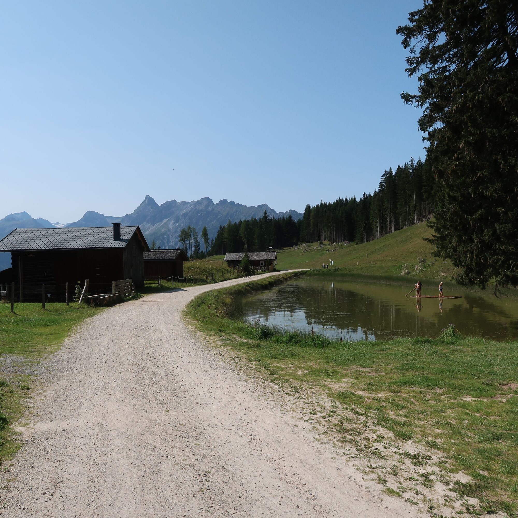



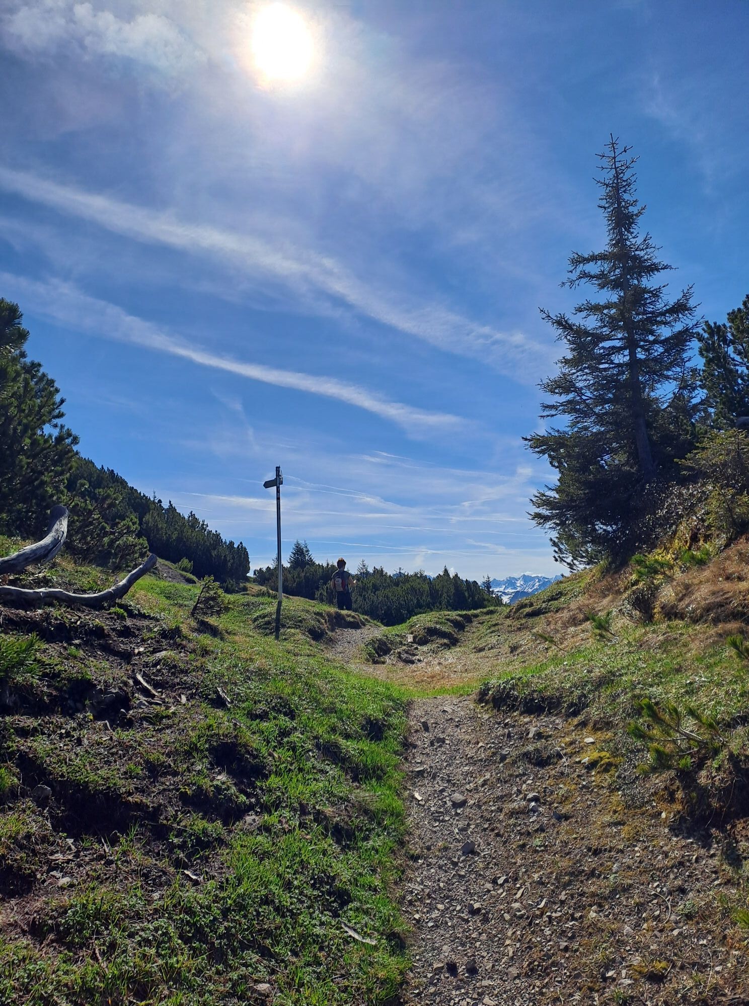
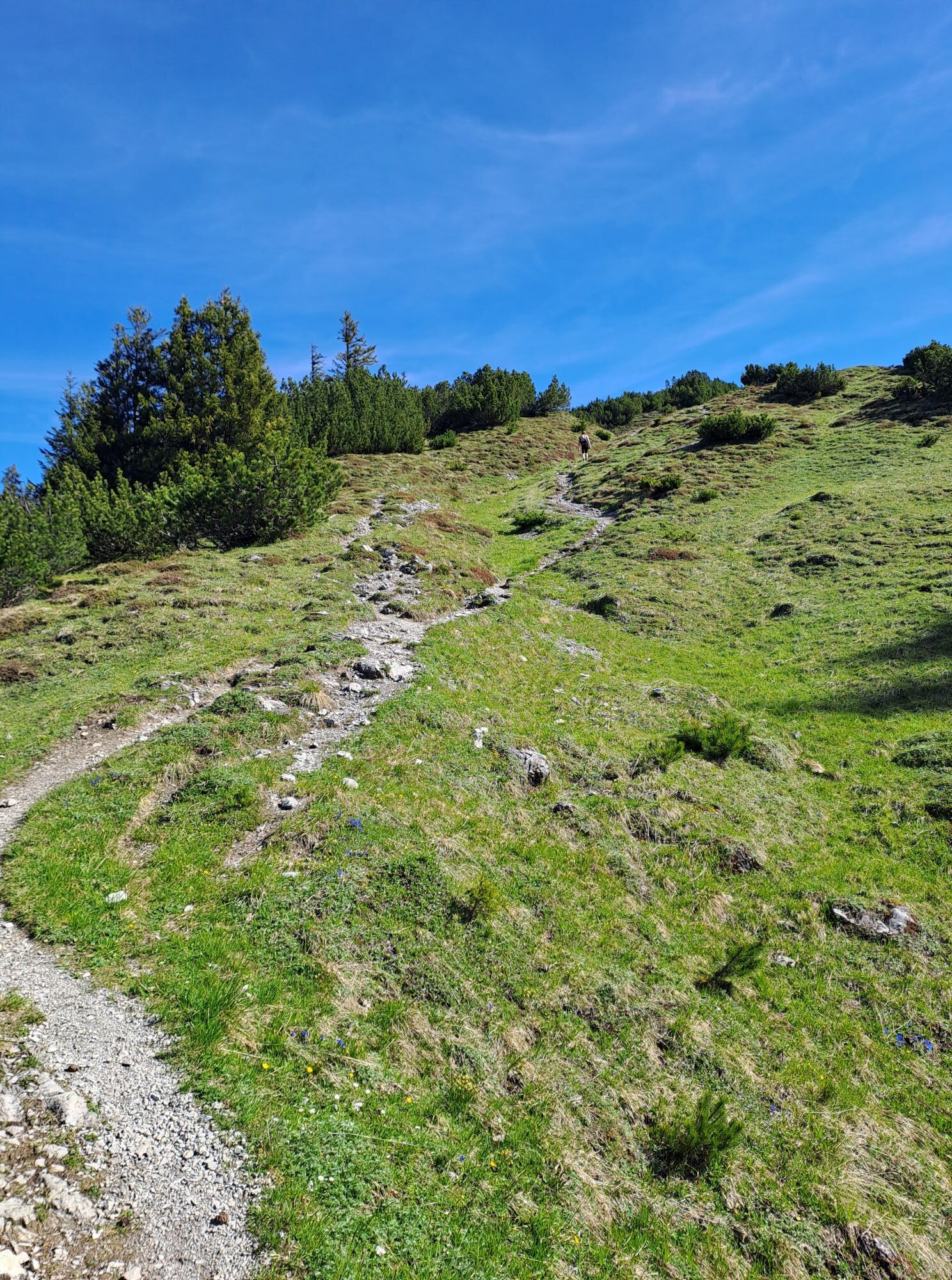
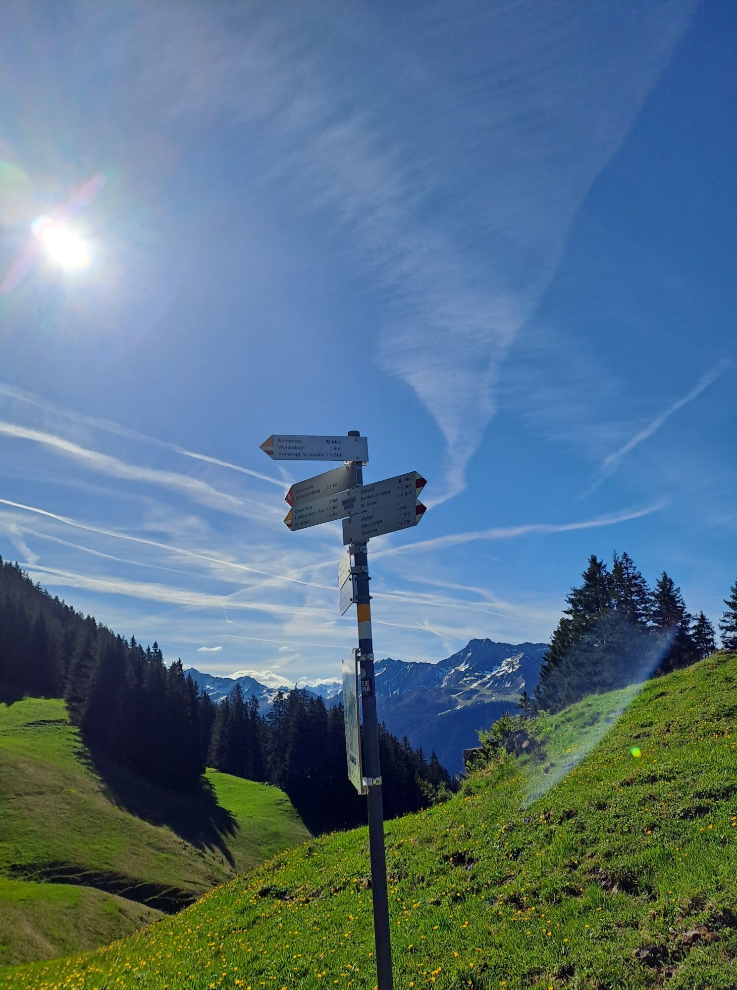
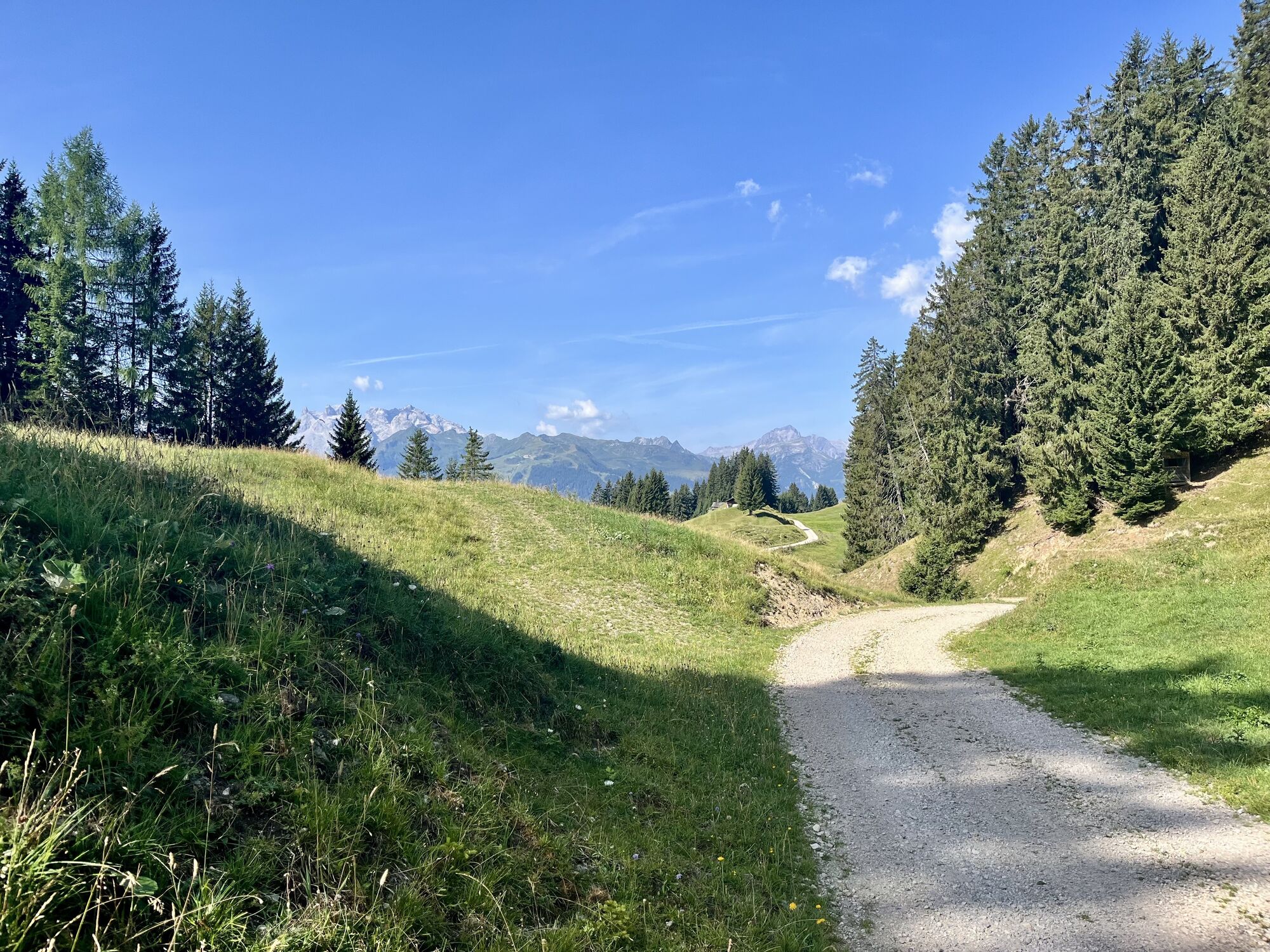
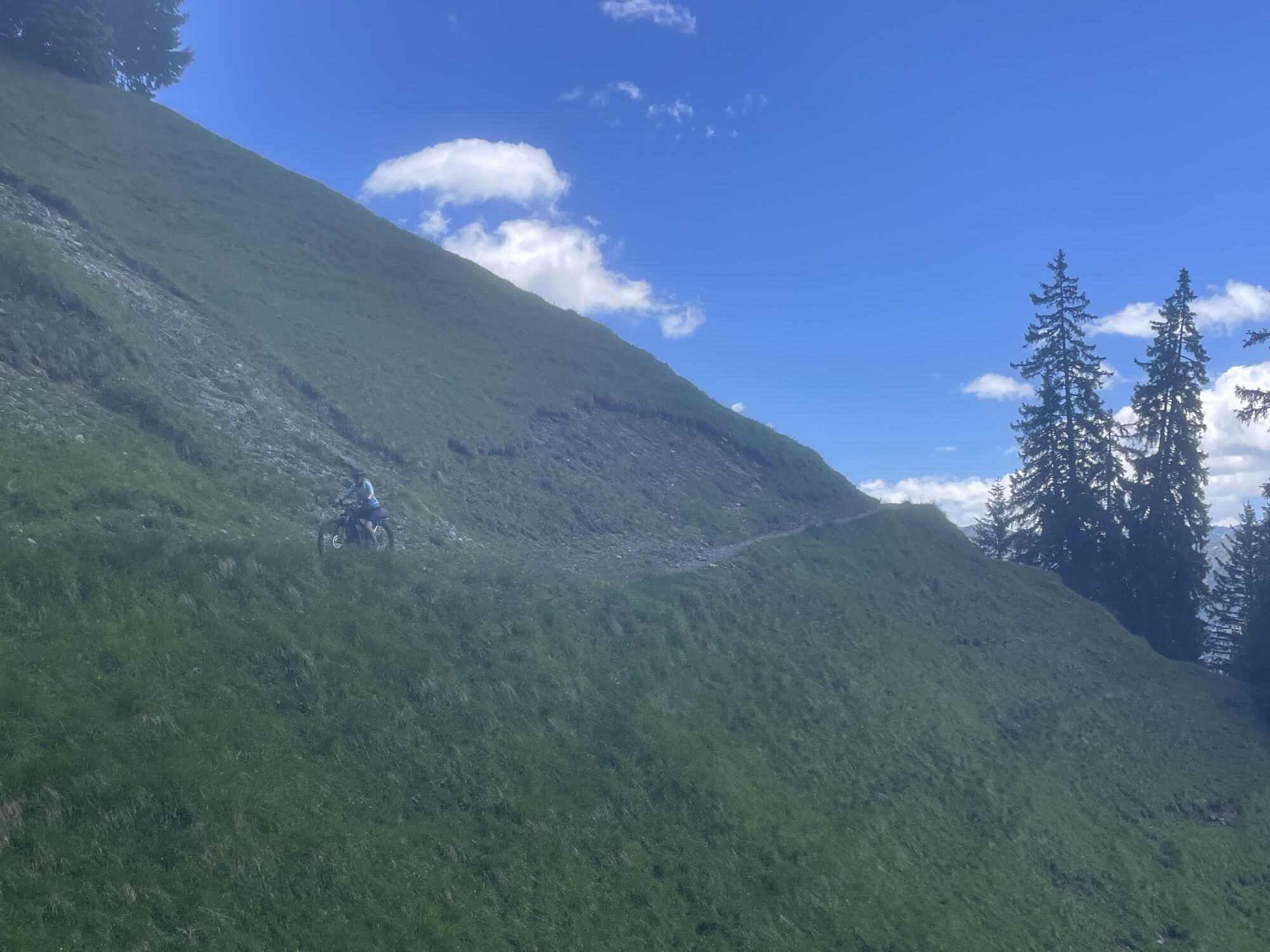
From the parking lot next to the Baroque Church Bartholomäberg, you follow the path either on foot or by the hiking bus to Rellseck. On the geological educational trail, it continues to the Monteneu rest area and further up to the Wannaköpfle. Over a high trail, you reach the Itonskopf. The return path leads moderately steeply down a beautiful hiking trail, which brings you back to your starting point. Pleasant ascent on a mountain path up to the base of the Itonskopf. Rocky summit ascent secured with wire ropes. Steep descent to Obere Wiese, then on a farm track, meadow and forest path, finally on a residential street downhill to Bartholomäberg.
Alpine mountain path – may include safety cables and footholds
Áno
Weather-appropriate clothing, ankle-high shoes with good tread sole, hiking poles, and sufficient water.
EMERGENCY CALL: 144
European emergency number 112 (works with any mobile phone/network)
www.vorarlberg.travel/sicherheitstipps
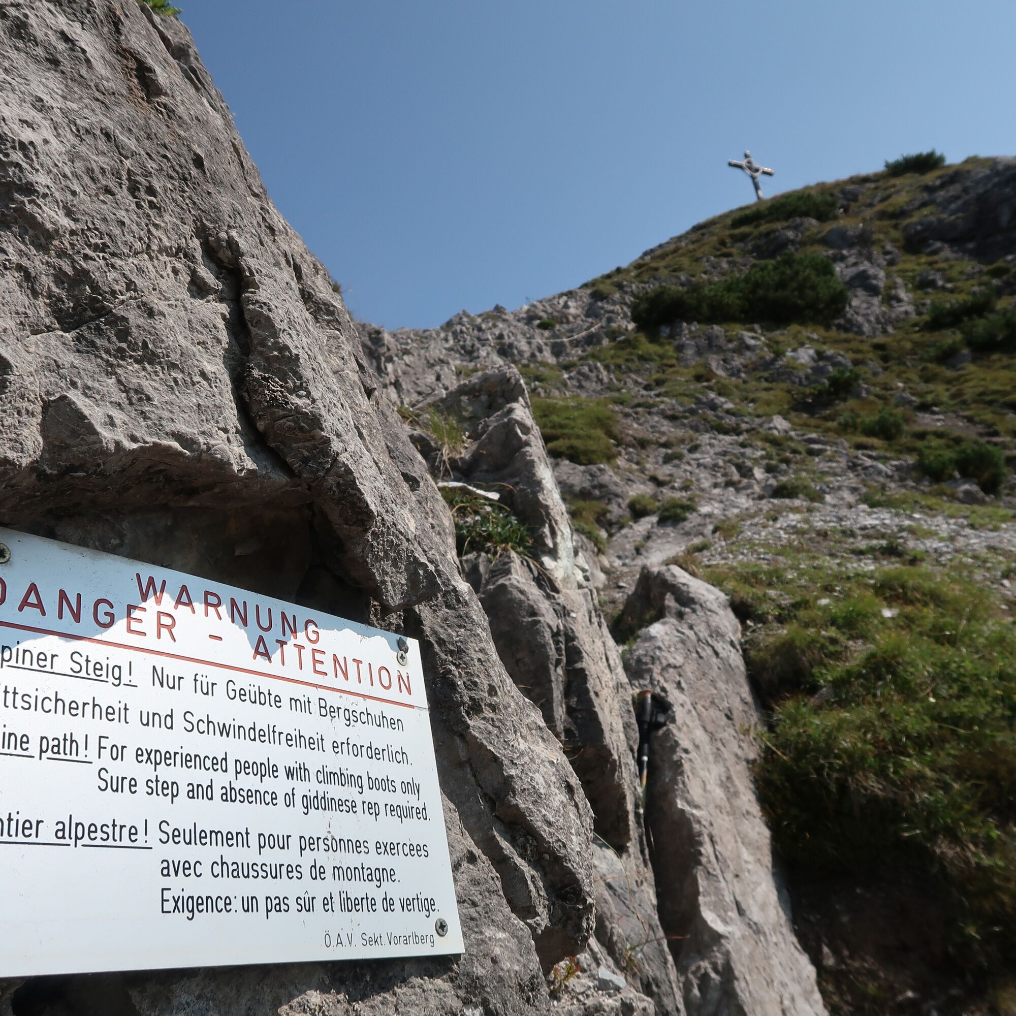
Before the ascent to the Itonskopf, there is a short rock segment that must be crossed. Surefootedness is required here. The ascent to the summit is secured with a steel cable for holding on.
Take the A14 to the Bludenz/Montafon exit and continue on the Montafonerstraße L188 to Schruns. In Schruns, you drive through the town center towards Bartholomäberg.
Just leave your car standing
The regional buses operate throughout Montafon. The main lines run every half hour from Schruns station.
Bus stop at the start/finish of the route: Bartholomäberg Church / Line 640
Timetable: www.vmobil.at
Arrival by train to Montafon
From Bludenz station, the Montafonerbahn runs hourly (partly every half hour). There are also direct connections from Lindau (D) and from Bregenz.
Timetable: www.oebb.at
Parking spaces are to the right after the multipurpose building (fire station)
The route can be shortened using the Rellseck hiking bus. All information can be found at www.montafon.at/wanderbus
Historic mine. The St. Anna tunnel of the show mine is more than 1,000 years old and can be accessed up to about 115 meters. Information is available at the local tourist offices.
Traditional crafts at Rellseck. Information available at the local tourist offices.
Mountain breakfast at Rellseck
Baroque Church Bartholomäberg - considered one of the most worth-seeing churches in Vorarlberg.

Webové kamery z prehliadky
-
Hochjoch Bahn Bergstation
-
Montafoner Kristbergbahn Bergstation
-
Panoramagasthof Kristberg
-
Panoramagasthof Kristberg
-
Kristberglift mit St. Agatha Kirche
-
Kinderland Skischule Silbertal
-
Matschwitz Mittelstation
-
Silbertal Dorf
-
Innerberg
-
Golfclub Braz
-
Golm - Matschwitz
-
Bartholomäberg
-
Bartholomäberg
-
Tschagguns
-
Schruns
-
Bartholomäberg - Ferienhotel Fernblick
-
Kapellbahn
-
Schlepplift Innerbach
-
Bartholomäberg
-
Bartholomäberg - Ferienhotel Fernblick
-
Bartholomäberg - Ferienhotel Fernblick
-
Bartholomäberg - Ferienhotel Fernblick
Získajte prehľad
Vždy naživo na mieste s viac ako 9 500 webovými kamerami. bergfex Ako používateľ Pro si teraz môžete pozrieť príslušné webové kamery pre mnohé zájazdy v aplikácii zájazdy z. Môžete si tak priamo prezerať aktuálne podmienky.

Obľúbené výlety v okolí
-
5,0
Ski tour to the Lindauer Hut (1,744 m)
svetloSkitour 14,0 km -
5,0
Bürs, Bürserschlucht Bürs, Vorarlberg
strednáTuristika 5,31 km -
4,6
Over the historic mine and Fritzensee to Rellseck
strednáTuristika 7,25 km -
4,4
Golm-Rundwanderweg im Rätikon
strednáTematická trasa 7,28 km -
4,7
Kristberg - Wasserstubental - Silbertal
svetloTuristika 13,8 km -
4,3
Golmerbahn Bergstaion Grüneck - Golmer Höhenweg - Geißspitze - Lindauer Hütte - Latschau
strednáTuristika 11,5 km -
4,9
Alpgues Runde
strednáTuristika 9,21 km -
3,0
Bergstation Grüneck Golmerbahn - Alpe Latschätz - Lindauer Hütte - Latschau
svetloTuristika 11,1 km -
4,6
Muttersberg - Fraßenhütte - Fraßen - Tiefenseesattel Nüziders, Österreich
strednáTuristika 10,1 km -
3,3
Dalaas - Freiburgerhütte
strednáTuristika 8,40 km
Turistika a stopovanie


Nenechajte si ujsť ponuky a inšpiráciu na ďalšiu dovolenku
Vaša e-mailová adresa bol pridaný do poštového zoznamu.





