


Arlberg Trail Lecham Arlberg - St. Anton am Arlberg
Úroveň náročnosti: T4
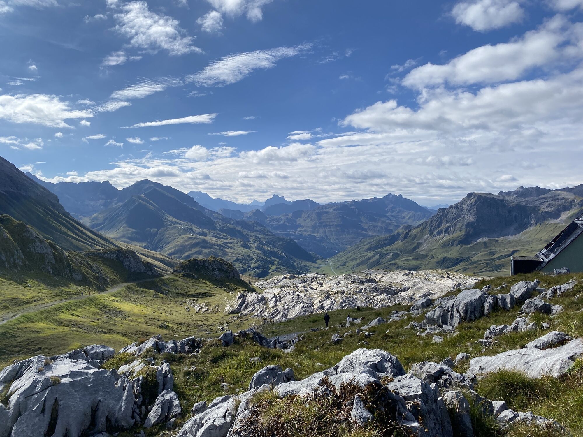
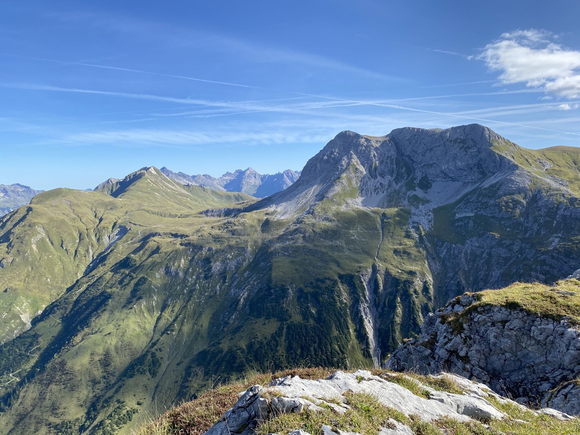
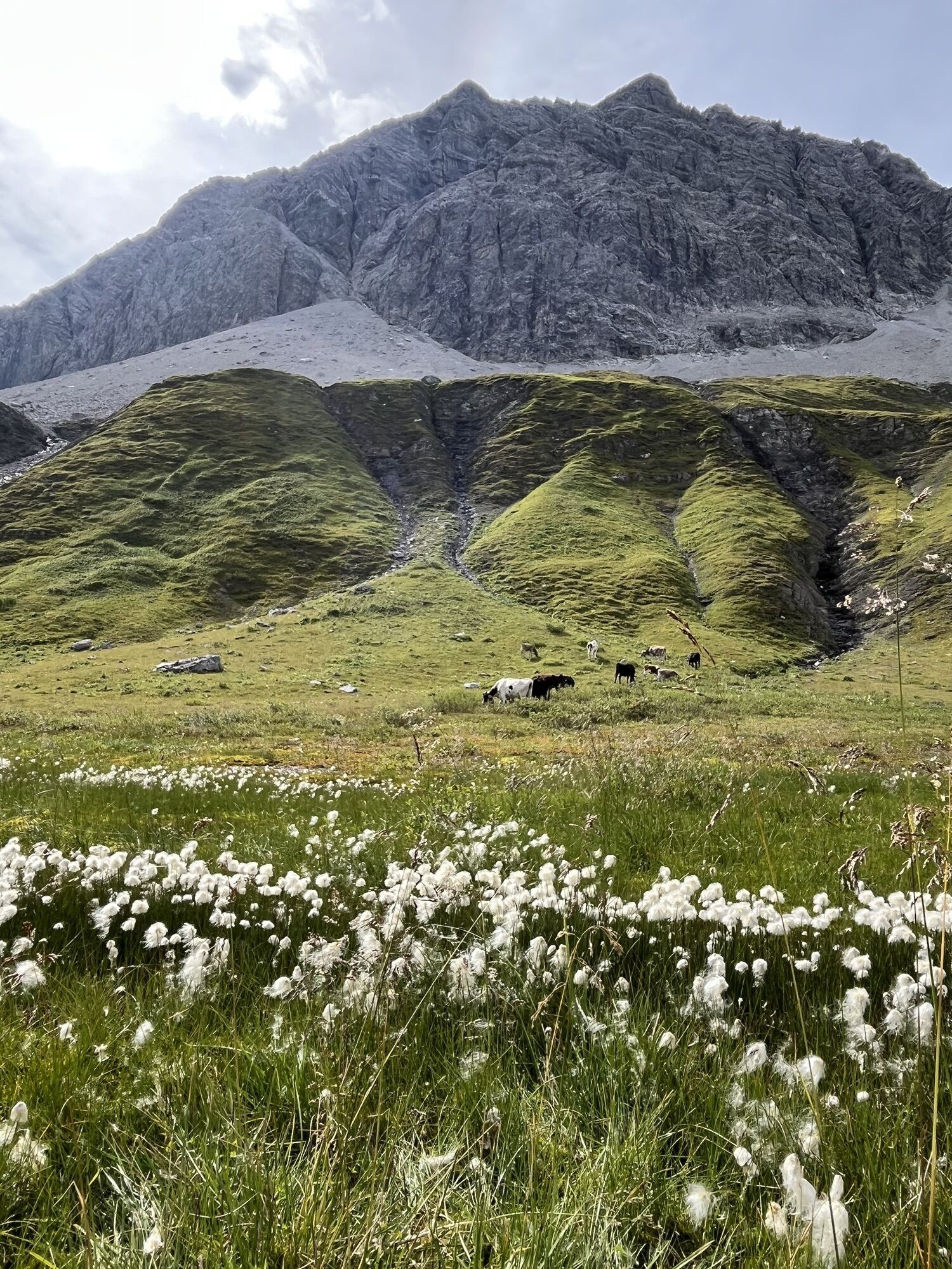
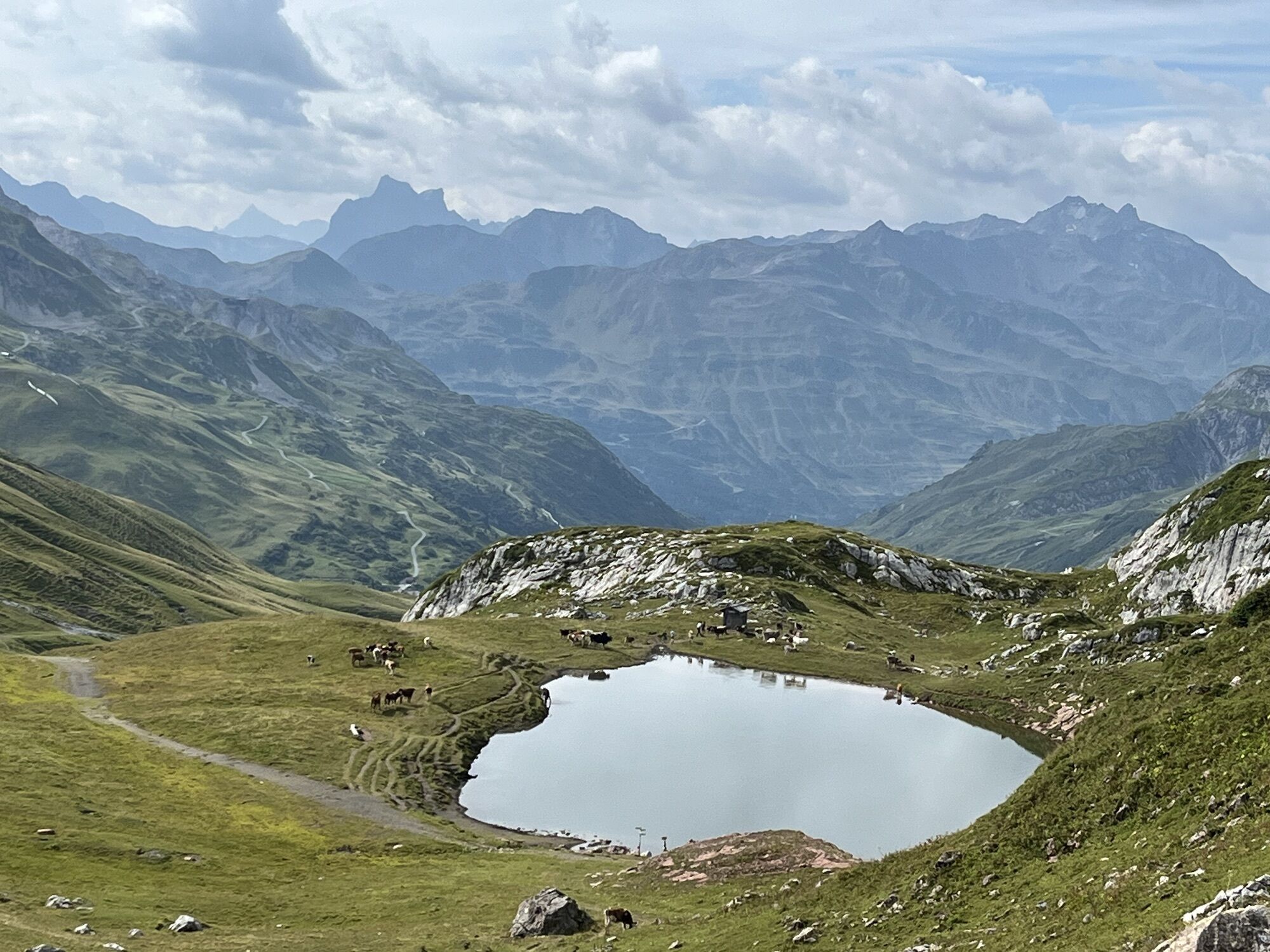
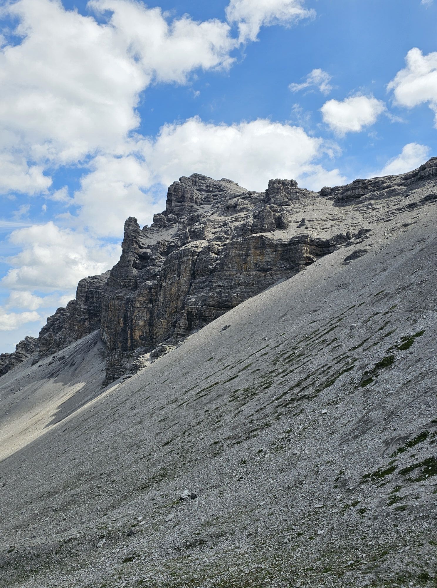
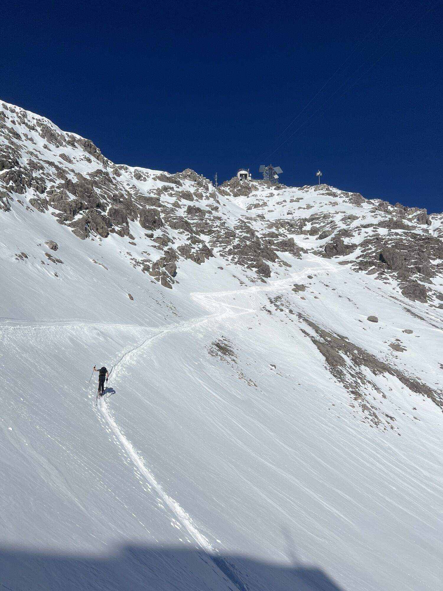
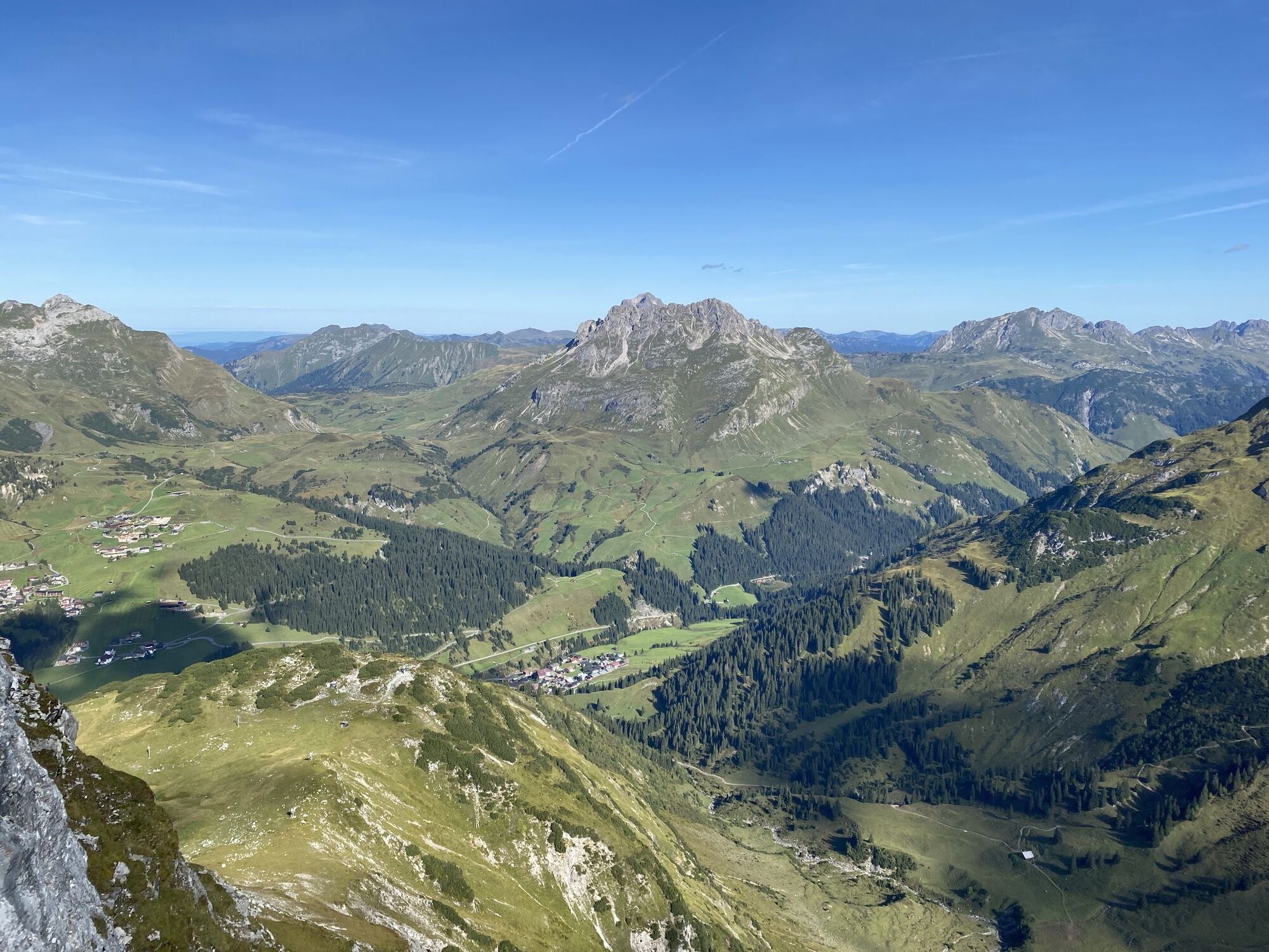
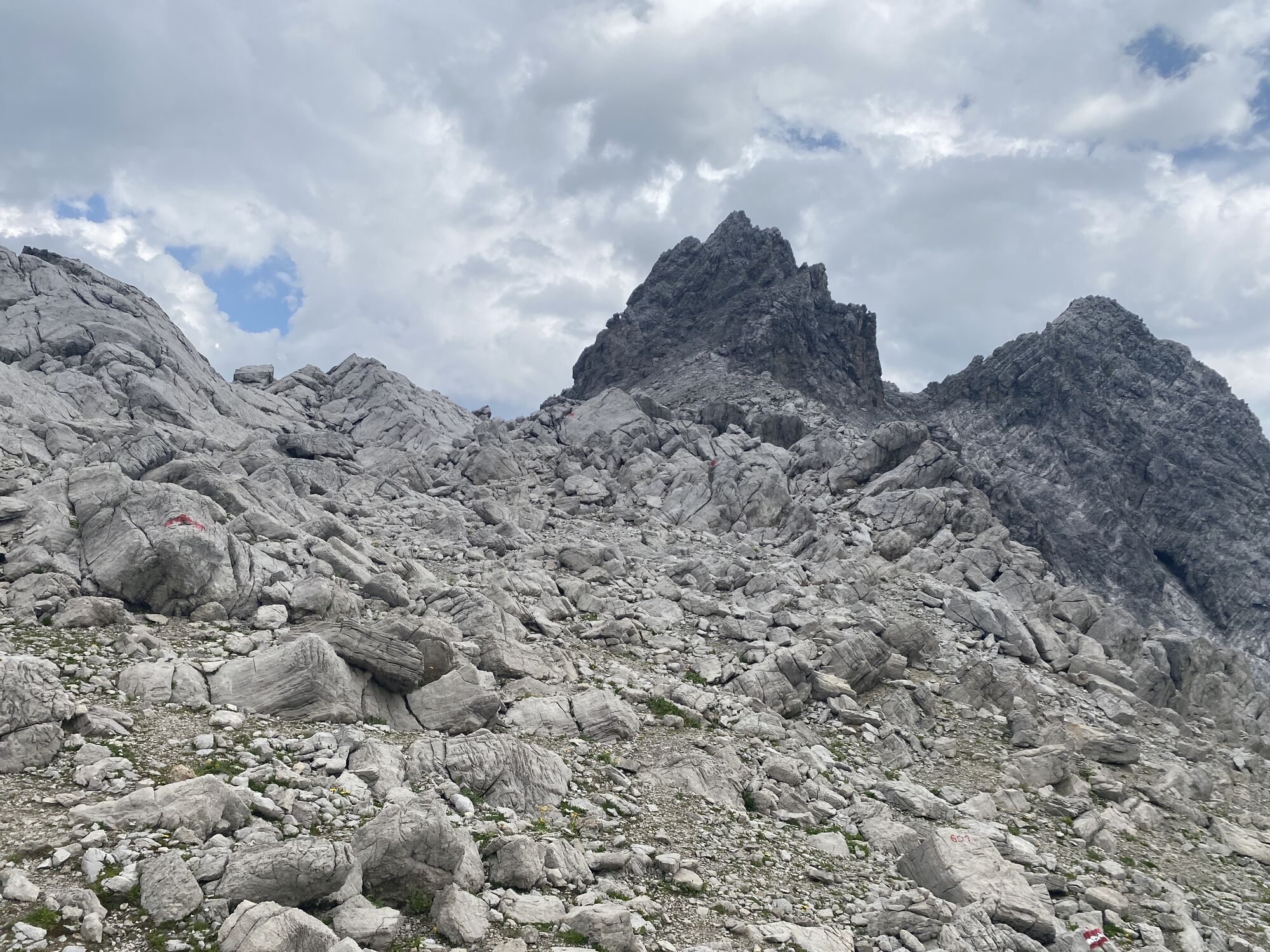
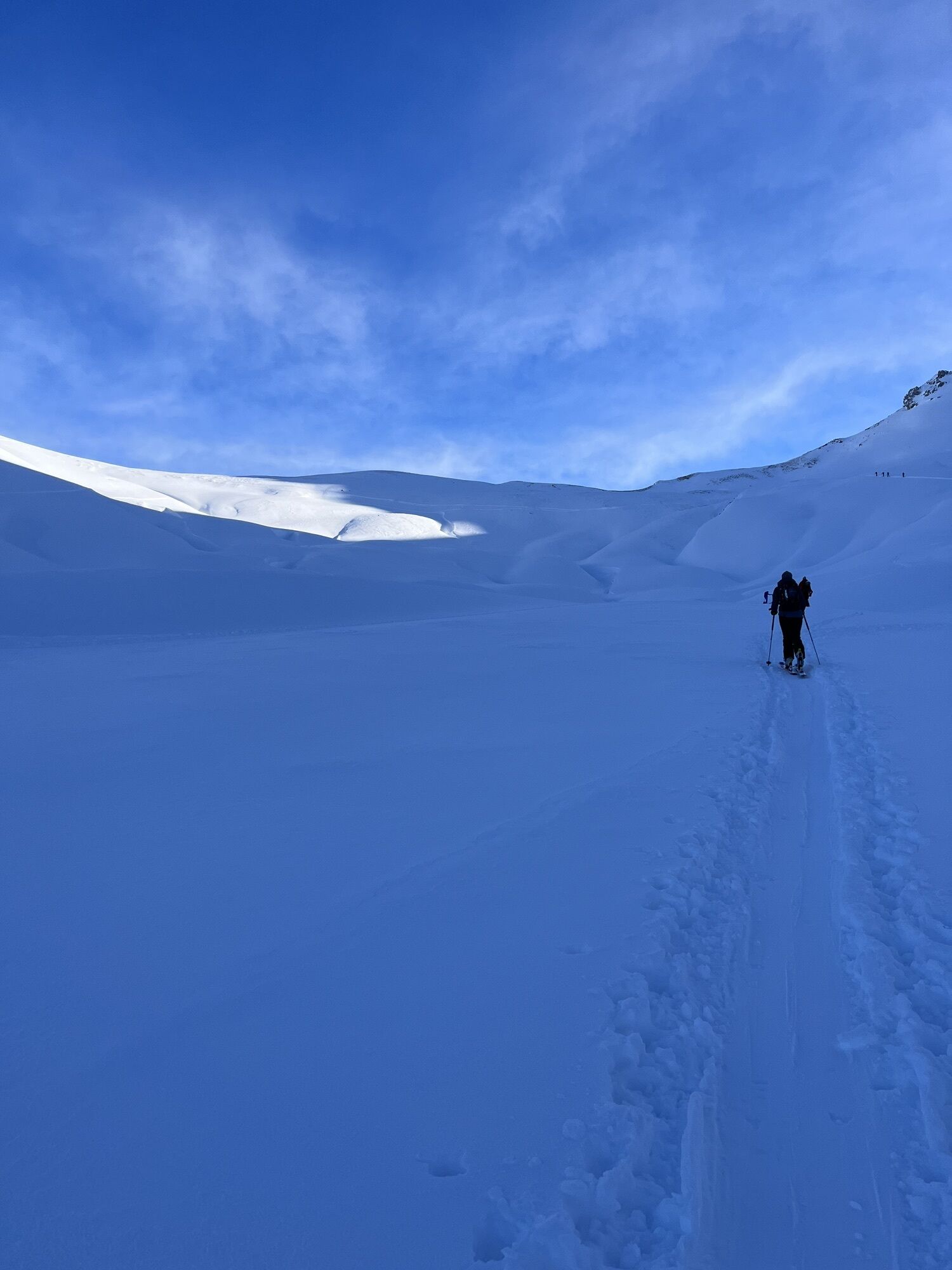
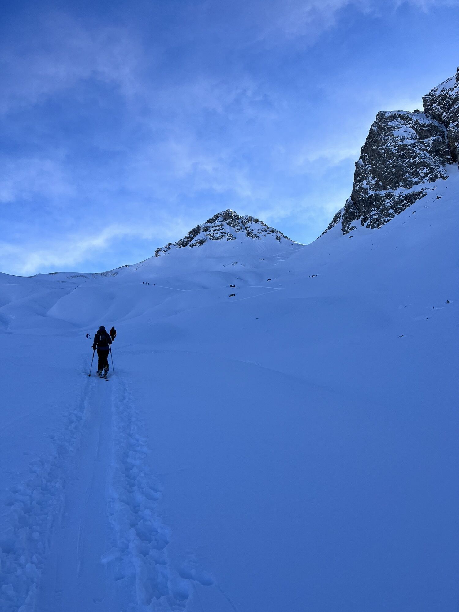
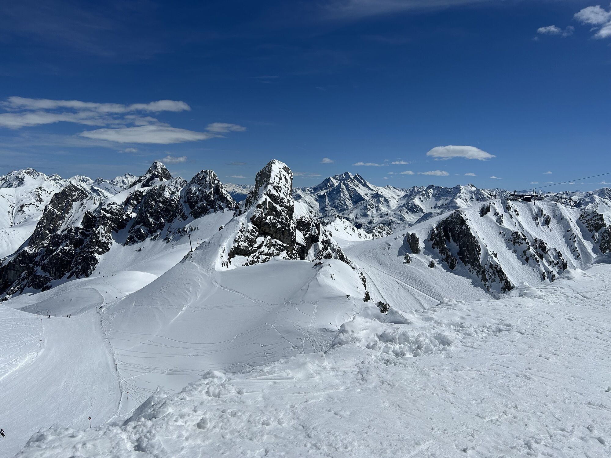
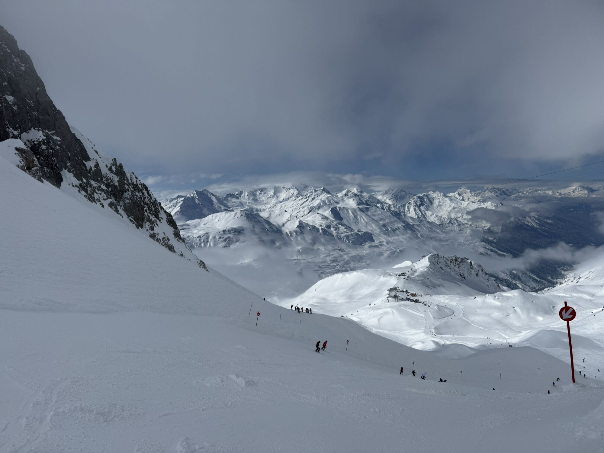
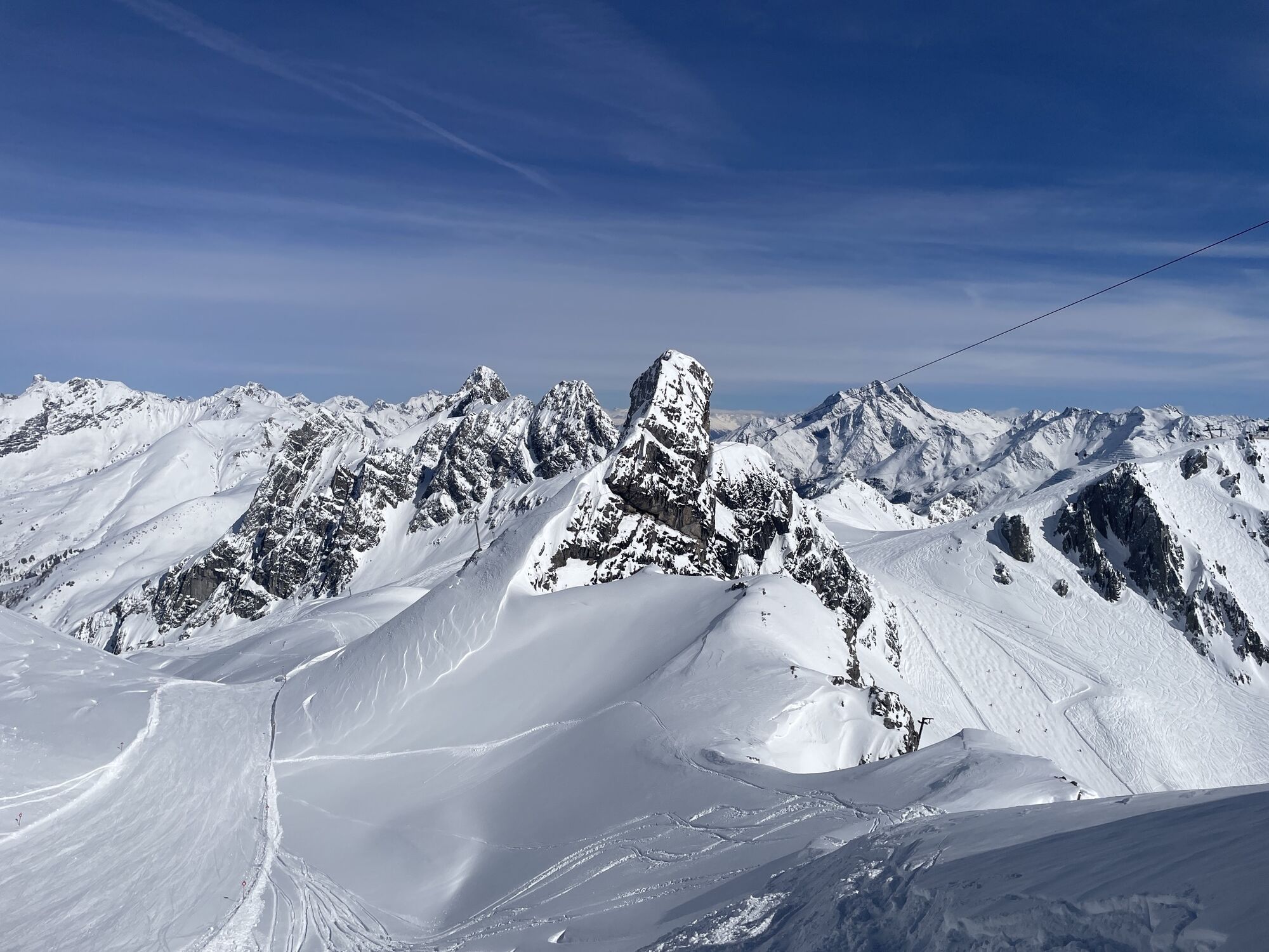
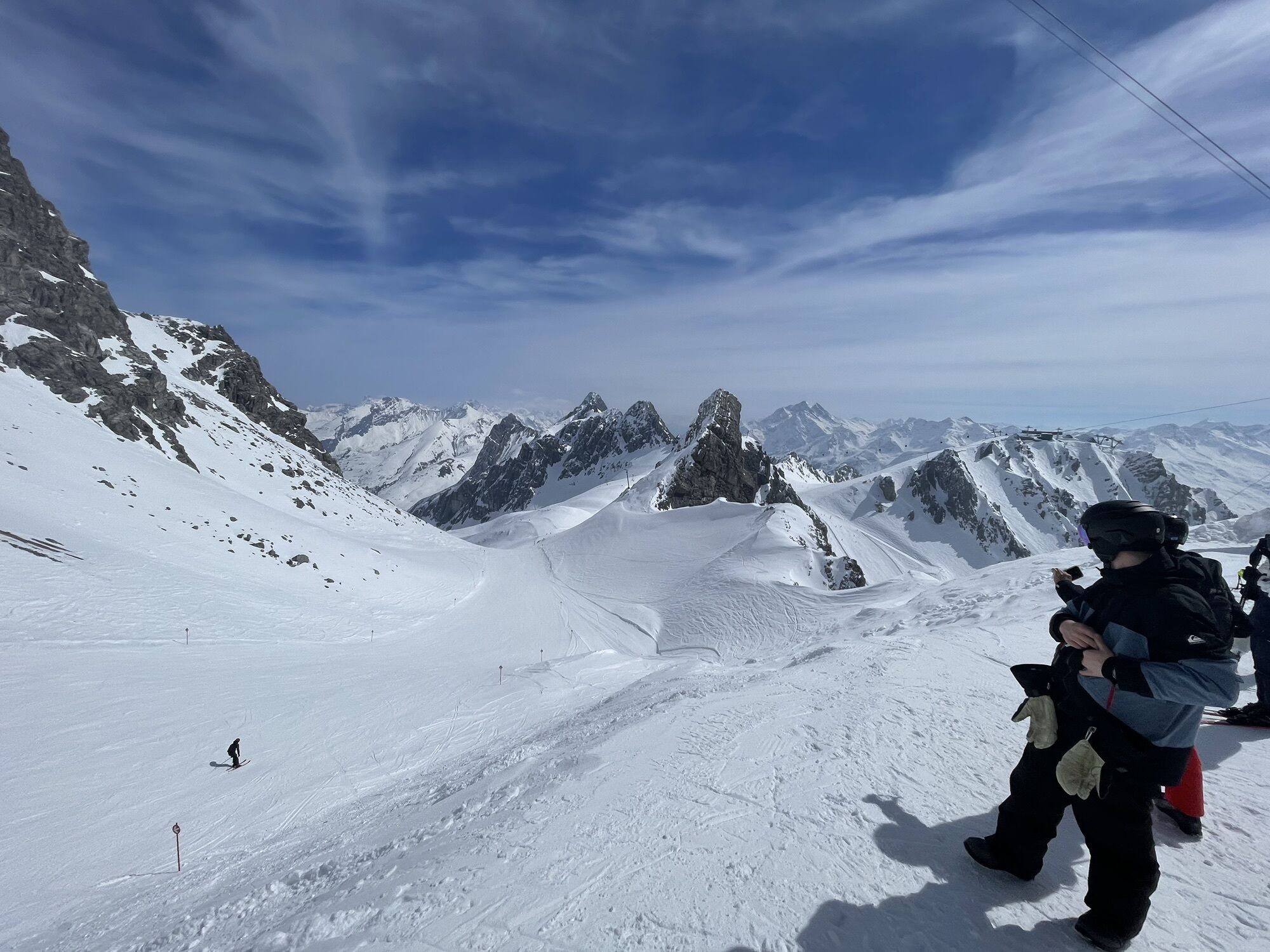
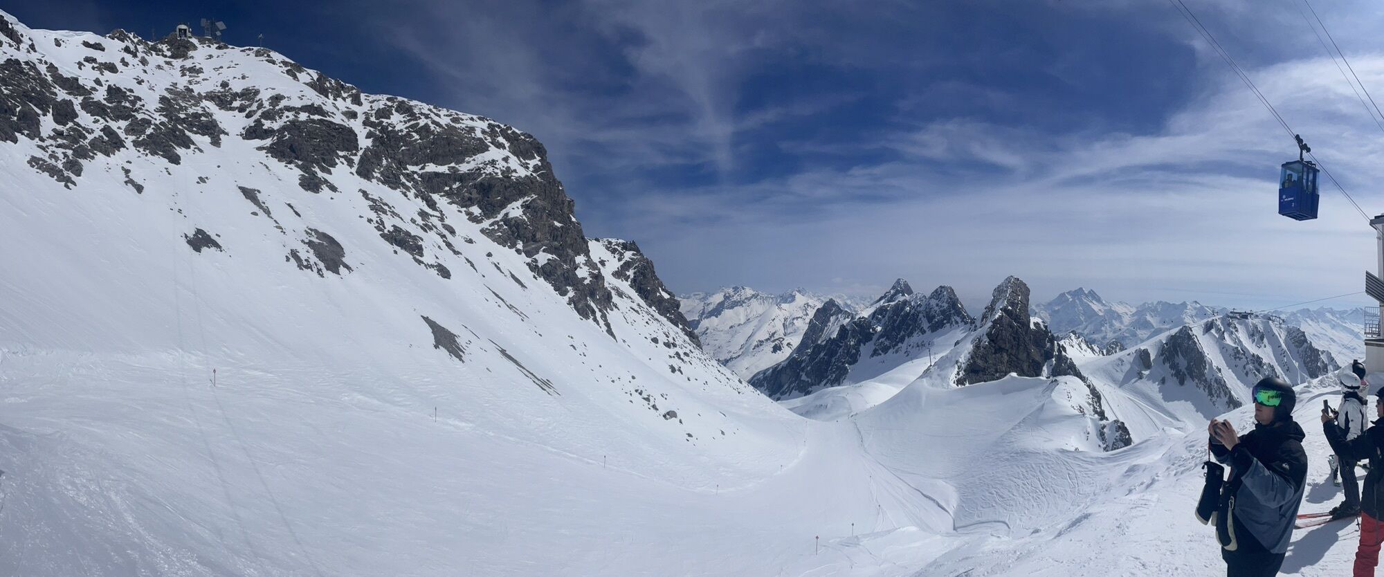
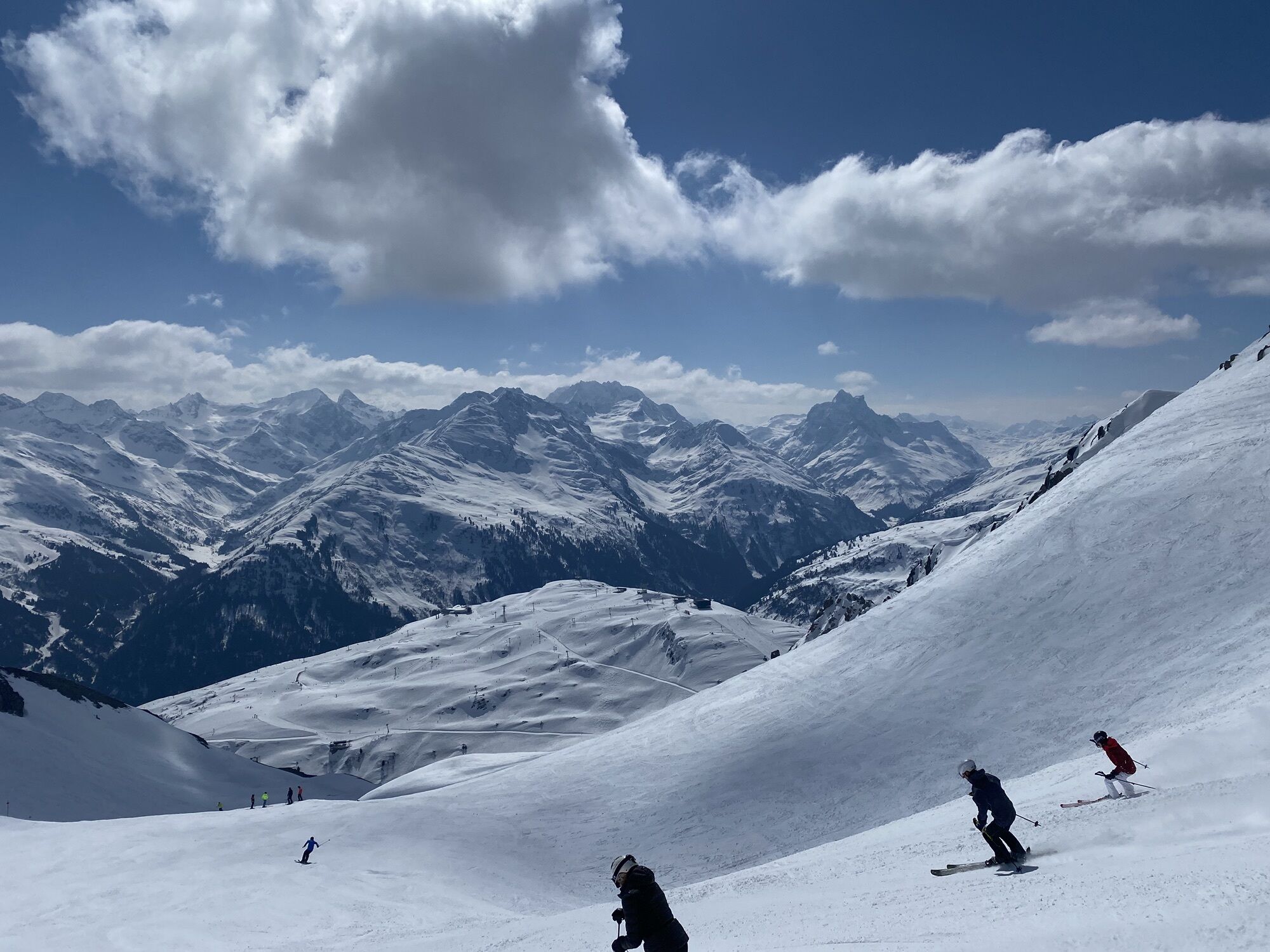
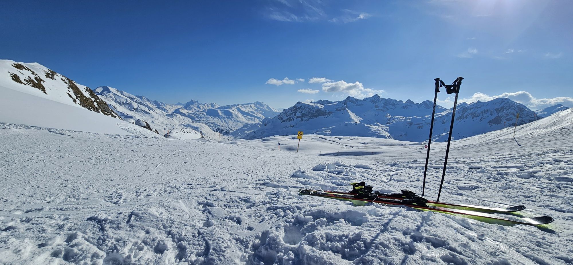
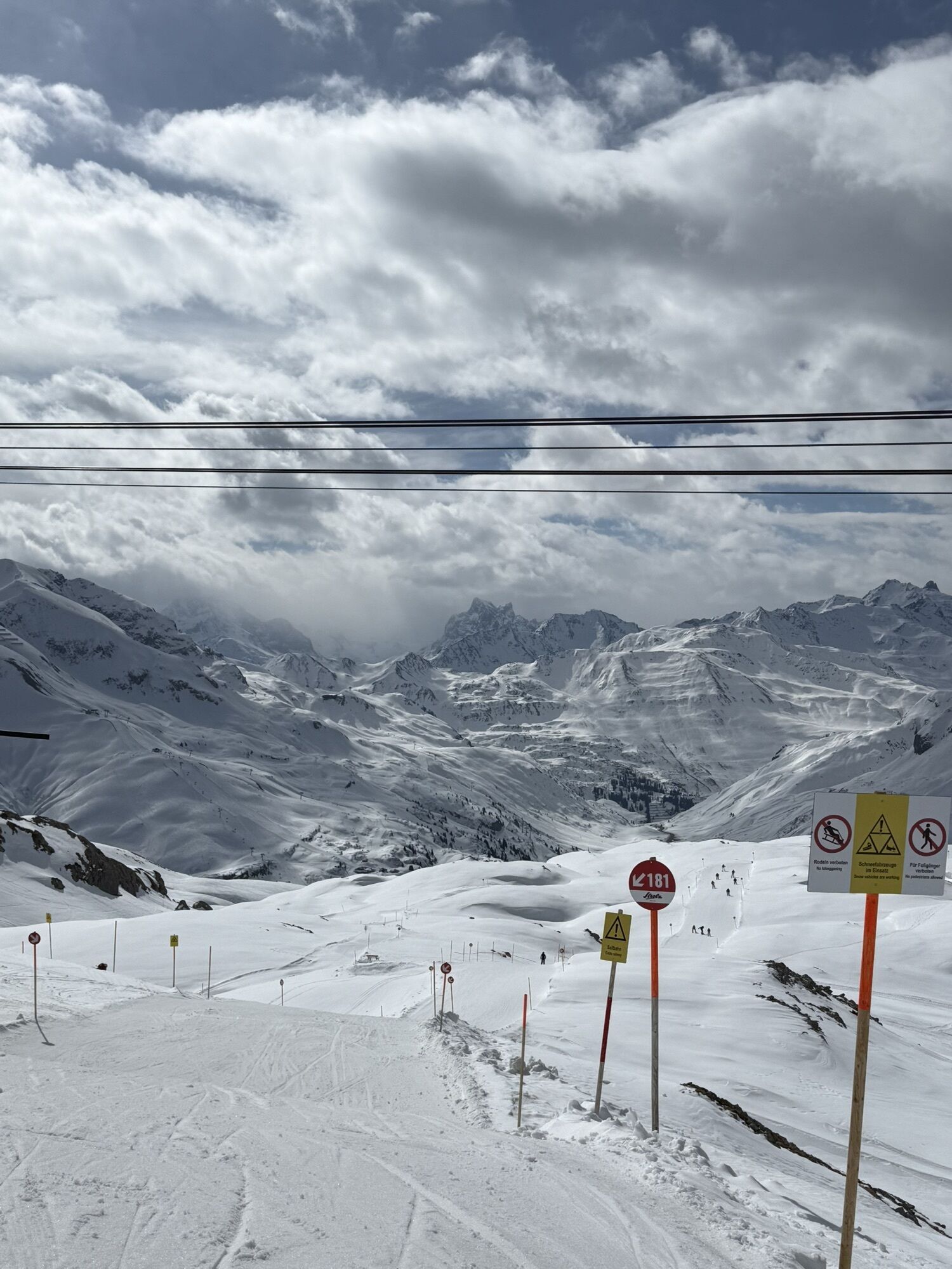
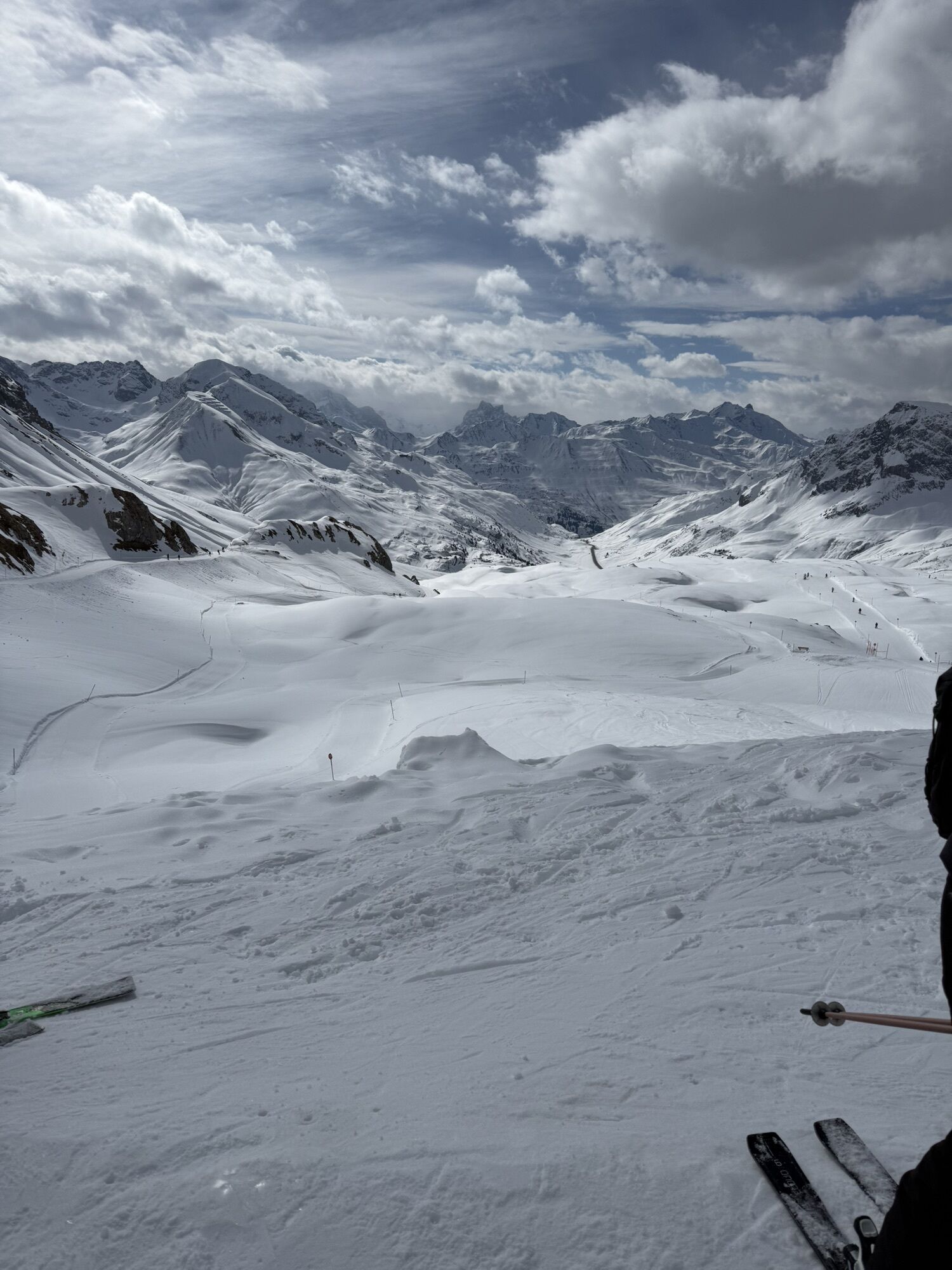
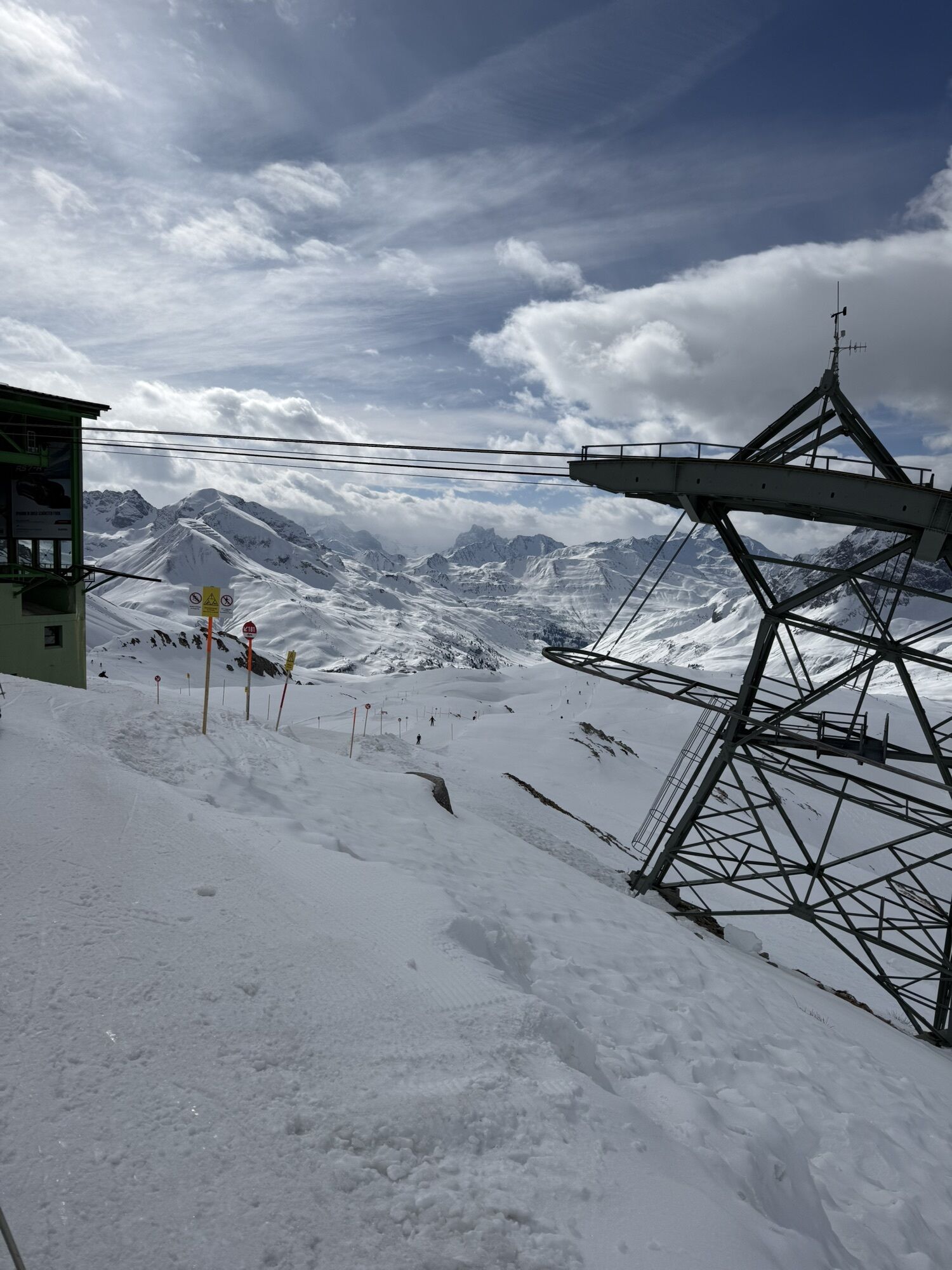
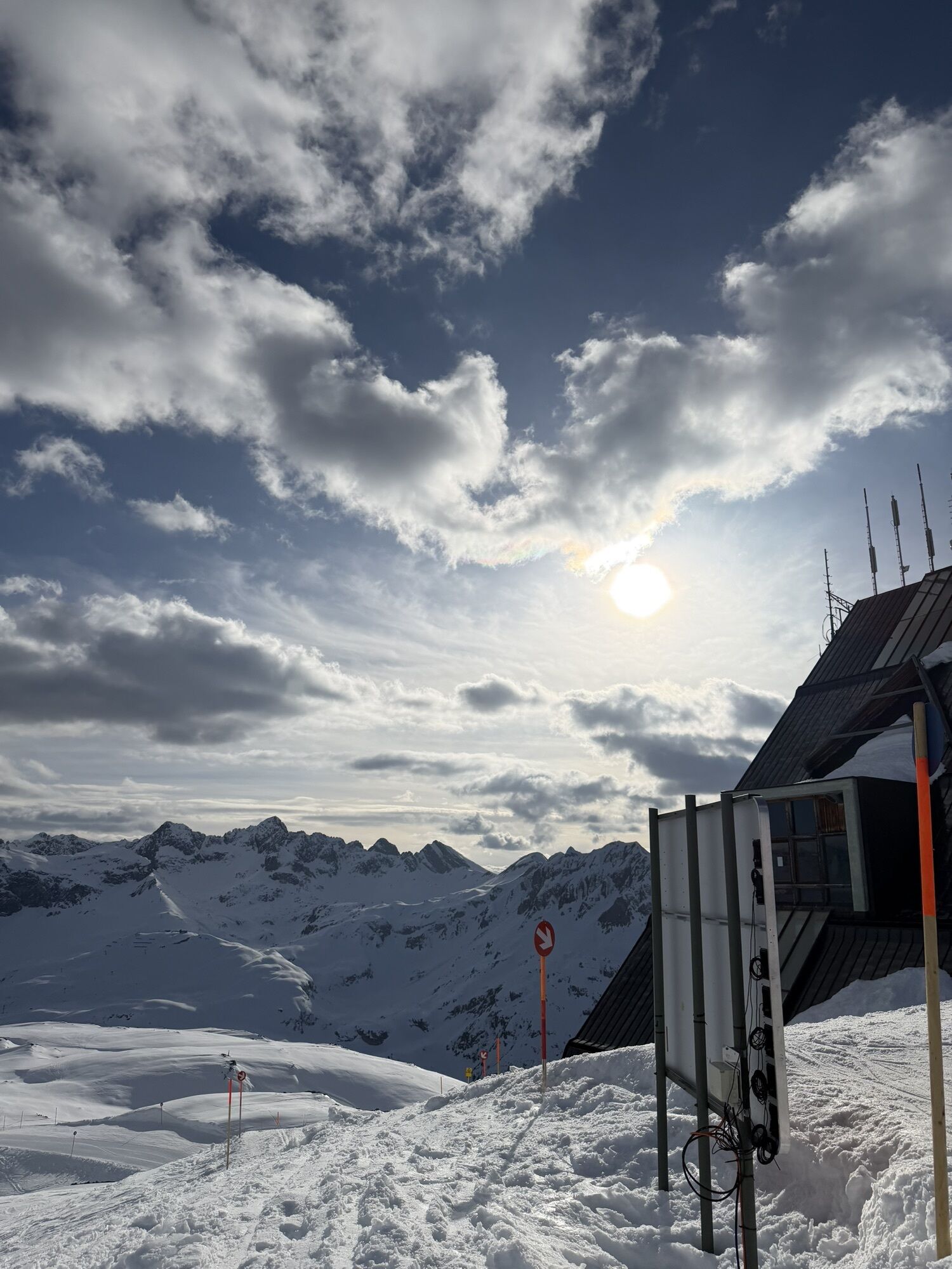
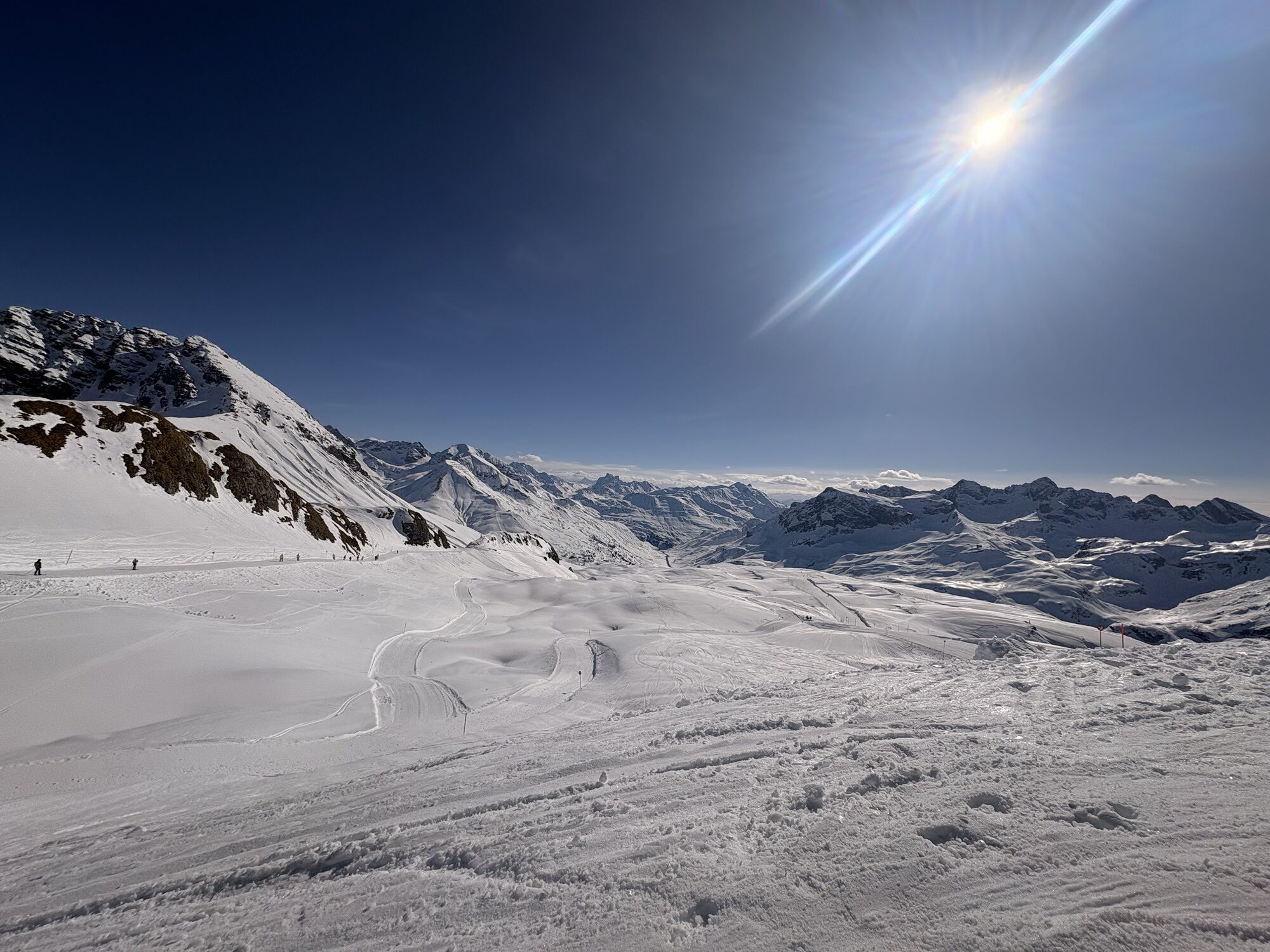
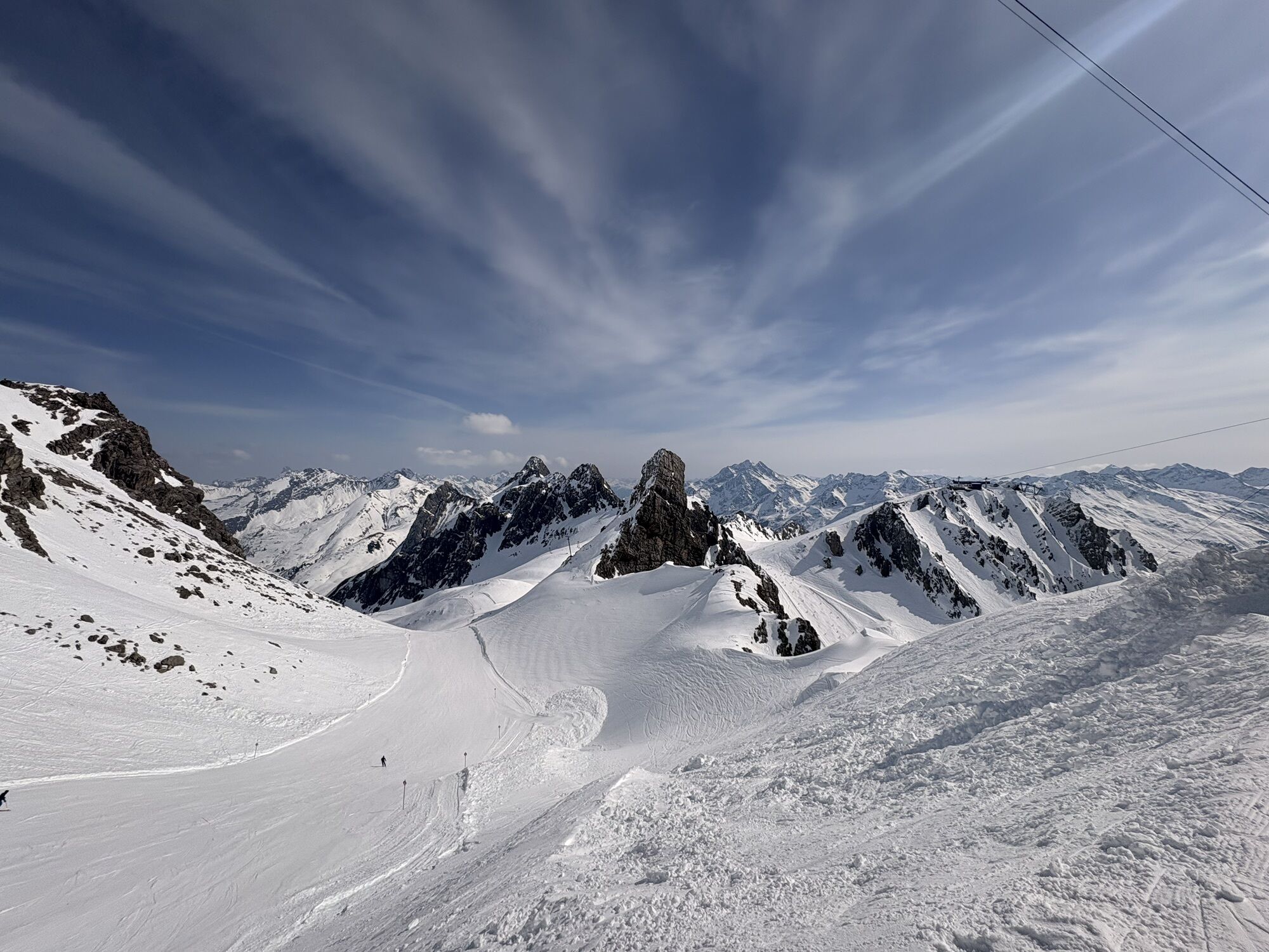
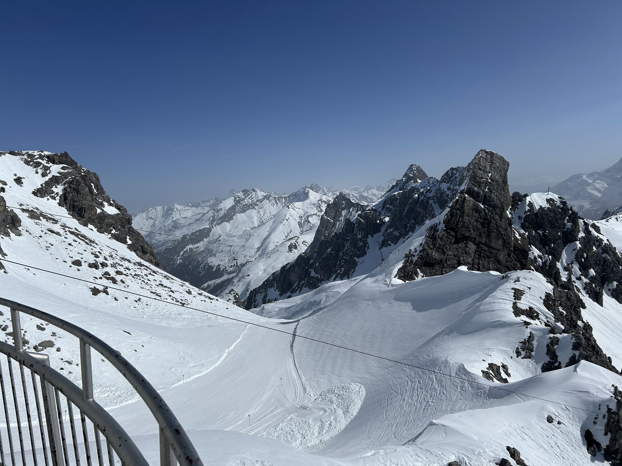
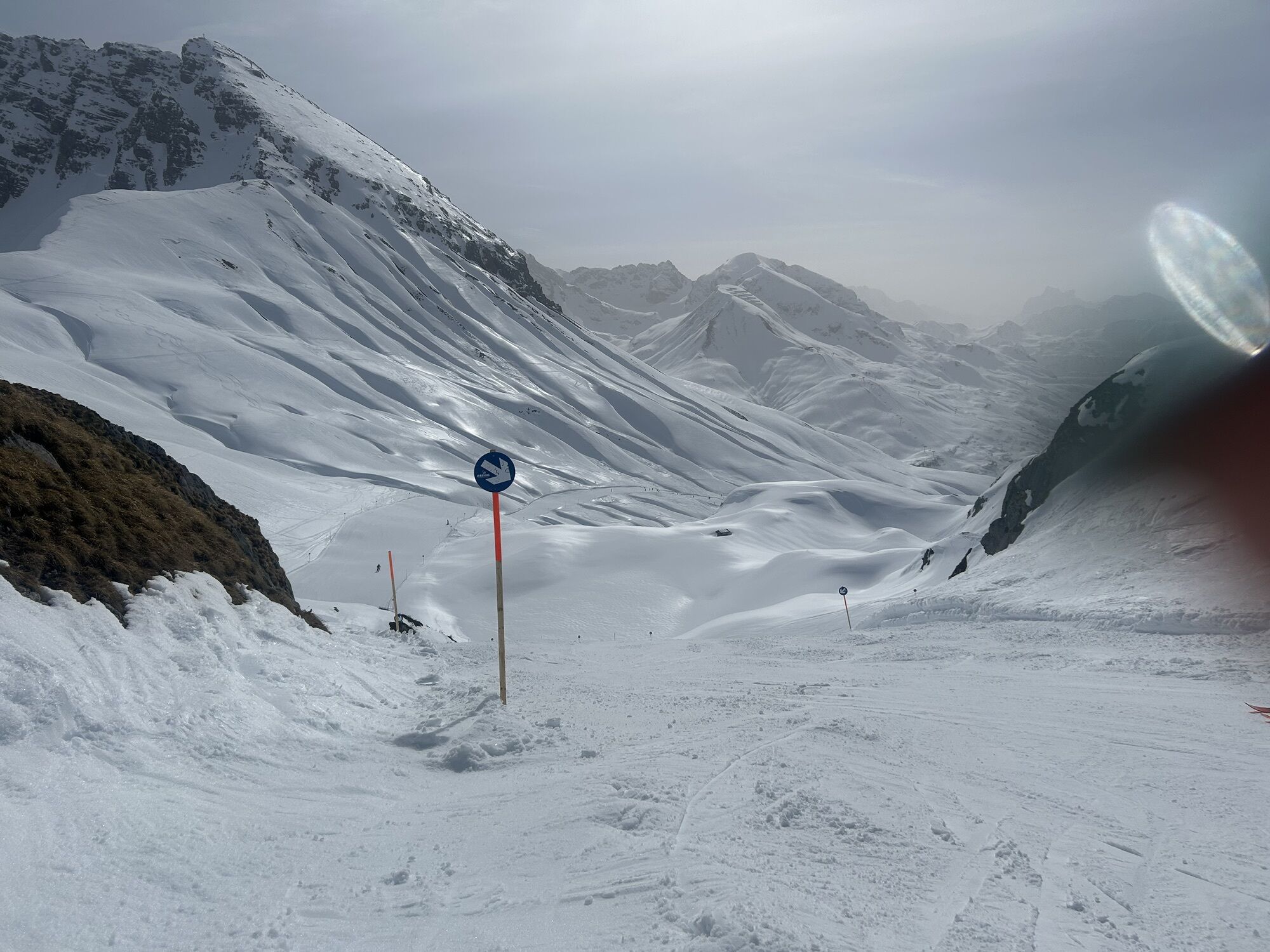
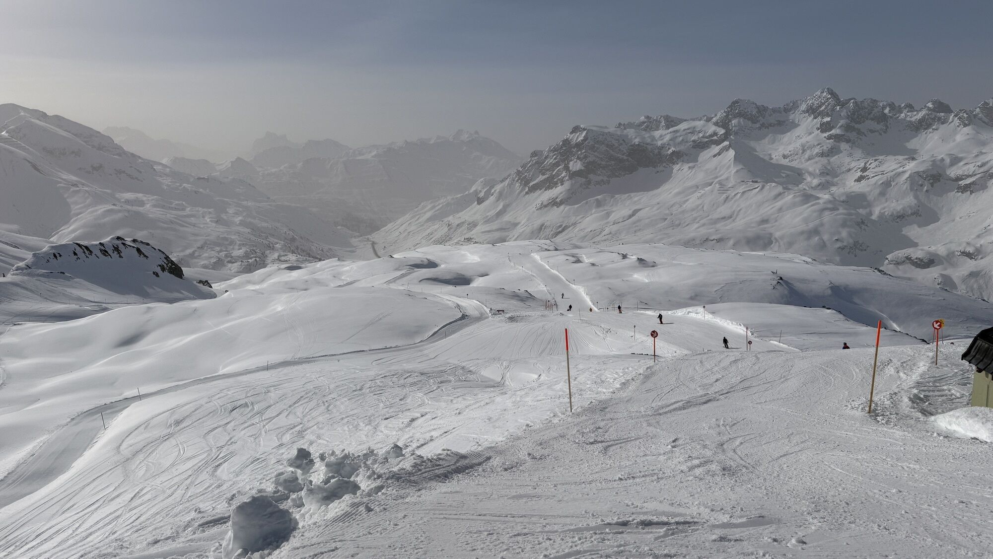
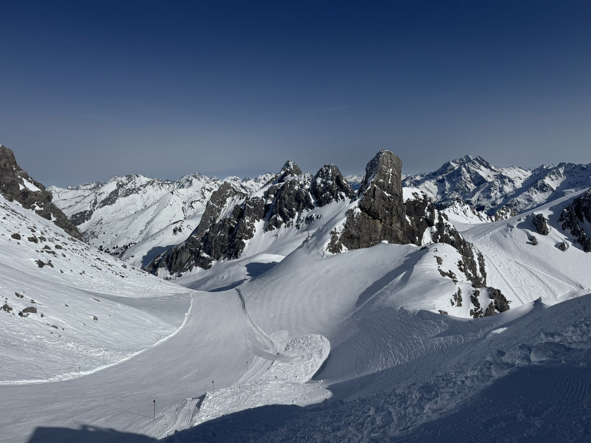
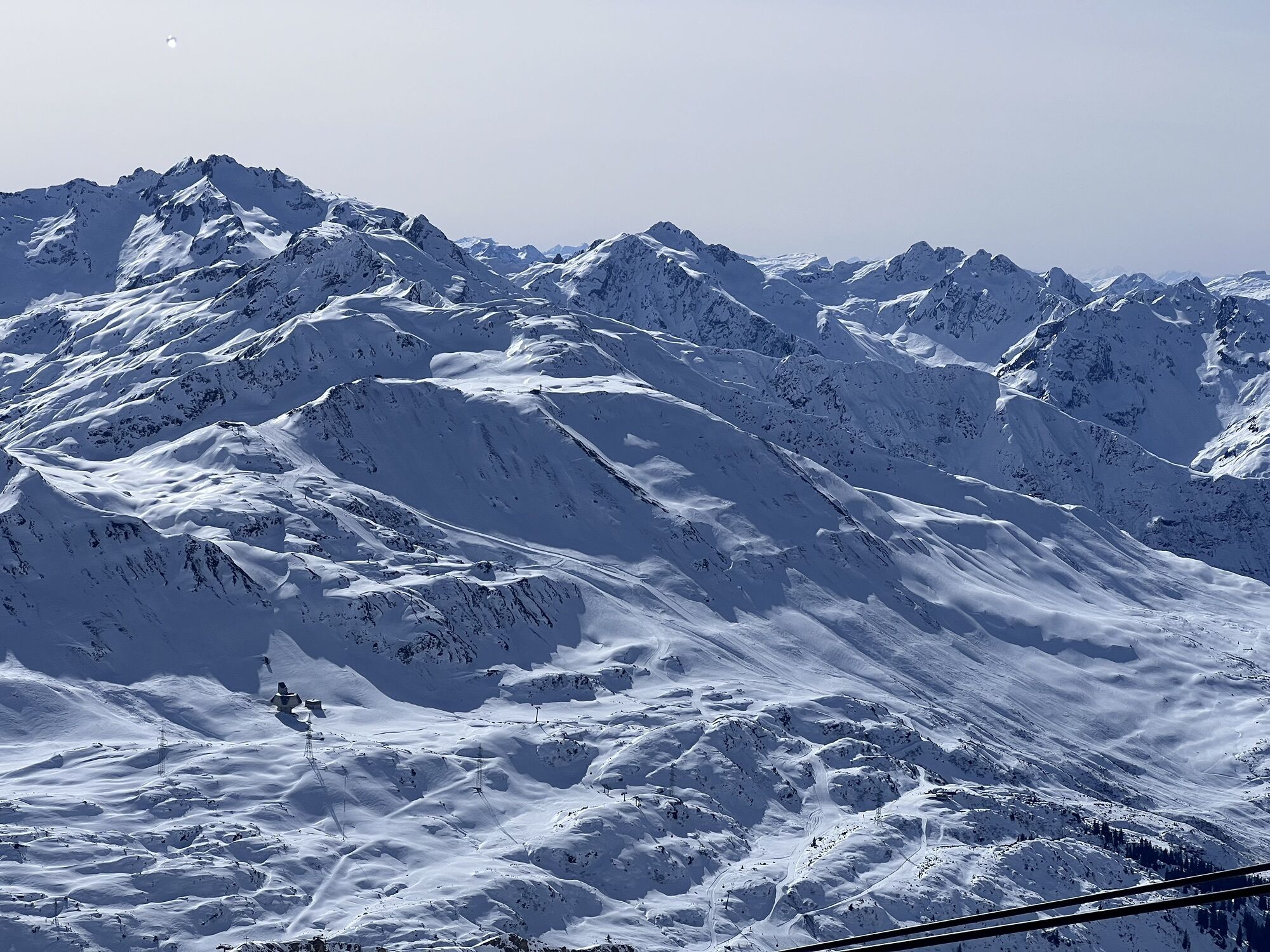
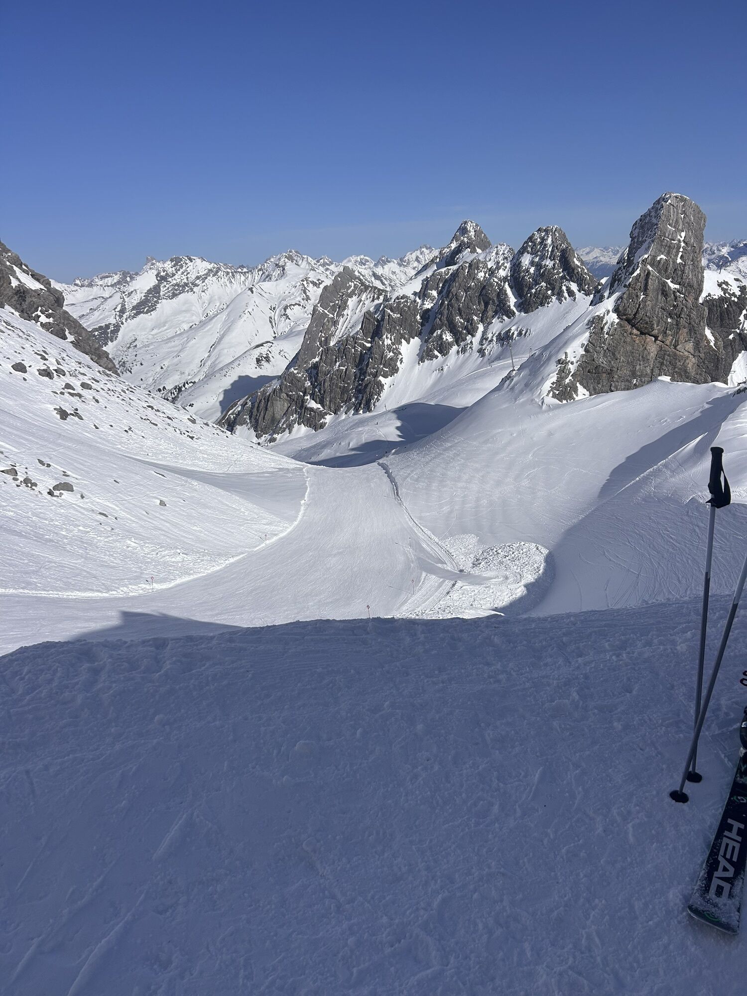
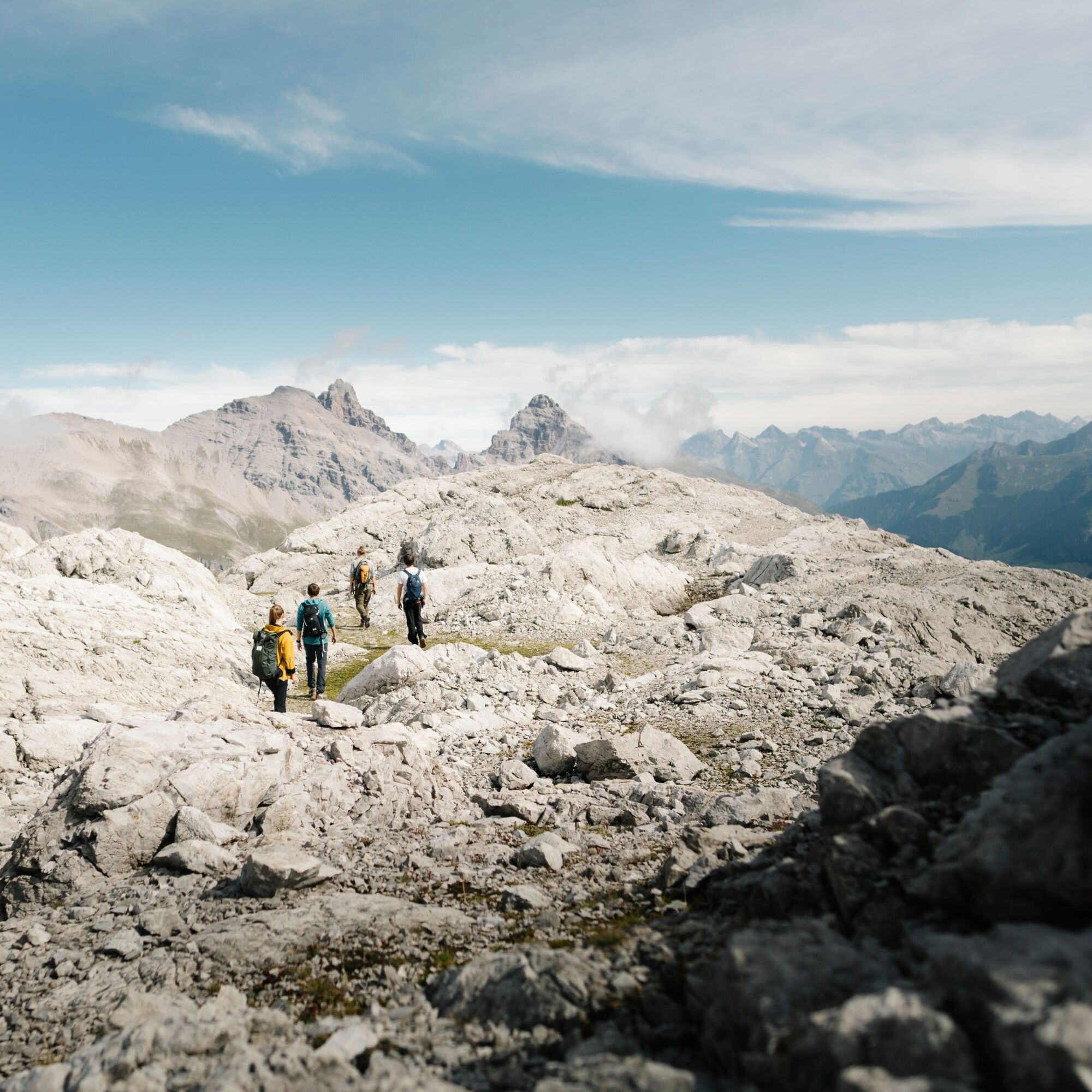
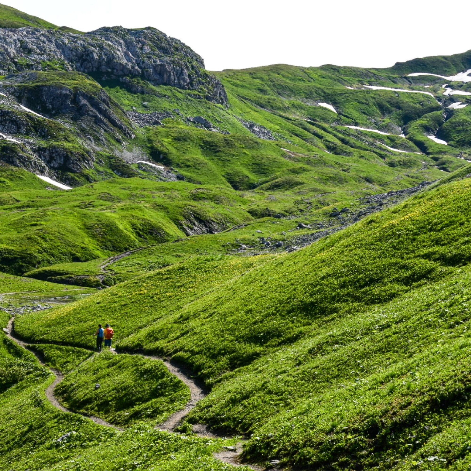
The so-called ‘queen stage’ of the Arlberg Trail is the most challenging section of the long-distance hiking route. Climbing over 1,000 metres in altitude, the trail winds its way through wild, unspoilt...
The so-called ‘queen stage’ of the Arlberg Trail is the most challenging section of the long-distance hiking route. Climbing over 1,000 metres in altitude, the trail winds its way through wild, unspoilt countryside between Vorarlberg and Tyrol.
Sturdy footwear (ankle-high, with a treaded sole), rainwear, an Arlberg Trail ticket and a bus timetable.
140 Alpine Emergencies Austria-wide
144 Alpine Notfälle Vorarlberg
112 Euro emergency call (works with any mobile phone/network)
From Switzerland: Via the A13 motorway and the Feldkirch, Hohenems or Lustenau border crossing on the A14 motorway to Bludenz. Continue on the S16 until exit Lech Zürs am Arlberg. Follow the B197 up to Alpe Rauz, turn left here onto the B198 through Flexengalerie and over the Flexenpass to Lech Zürs am Arlberg.
From Austria: Via the Inntalautobahn A12 and then via the S16 to the exit St. Anton am Arlberg (Arlberg Pass). Follow the B197 first through St. Anton, then through St. Christoph and over the Arlbergpass to Alpe Rauz. Turn right here onto the B198, drive through Flexengalerie and over the Flexenpass to Lech Zürs am Arlberg.
You can either park your vehicle directly at your host’s property or use the Anger underground parking garage. The garage is located right in the town center, across from the Dorfhus Lech. The garage is open 24 hours a day. The service station is open from 8:00 AM to 5:00 PM. Cash payments are not accepted.
T4
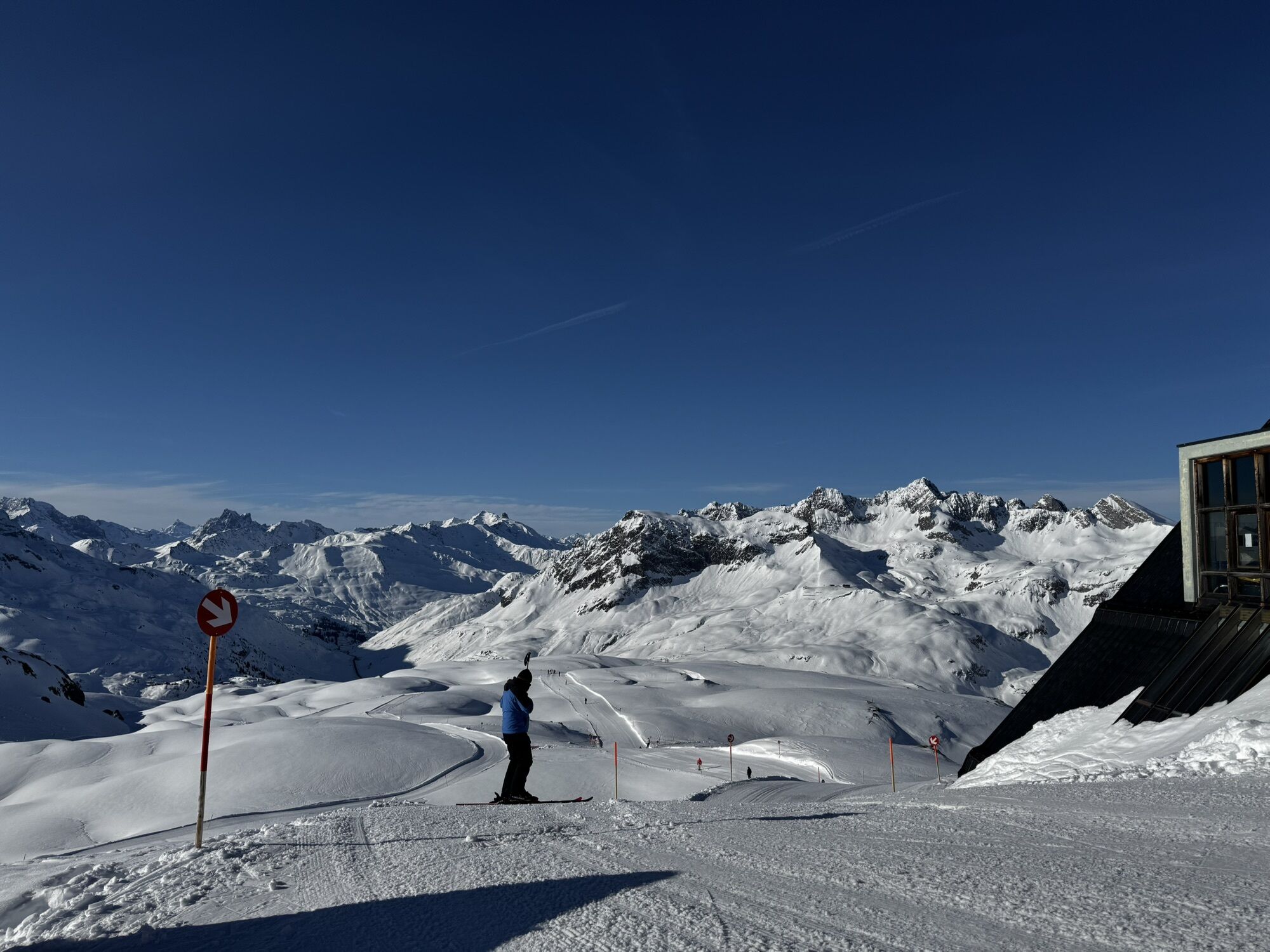
The last descent on the Valluga I is at 16:30.
The Arlberg Trail Ticket covers all cable cars along the long-distance hiking trail and is valid for the entire summer season.
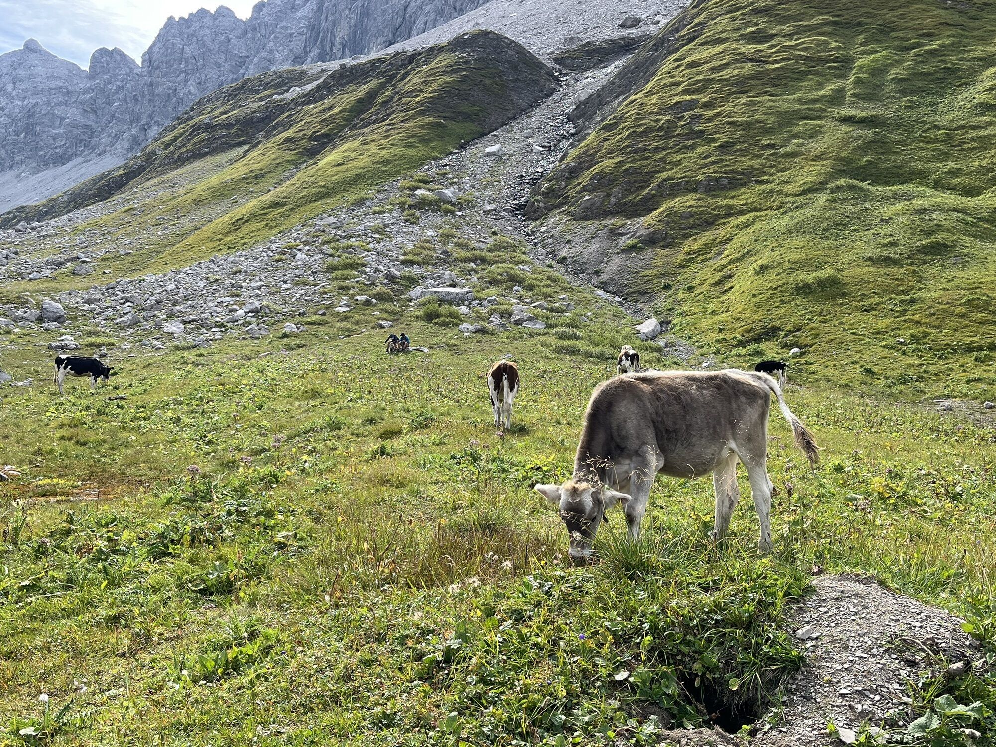
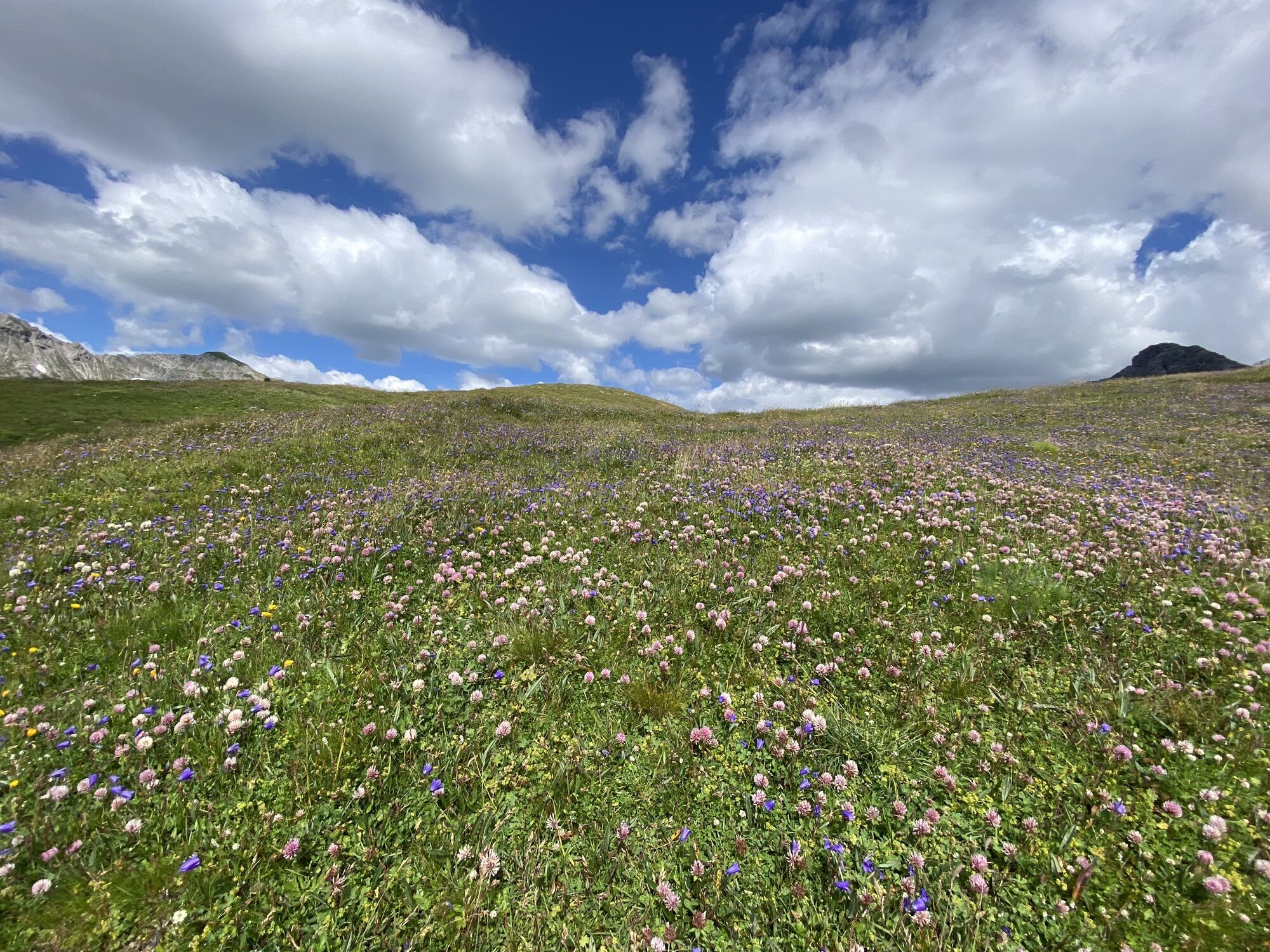
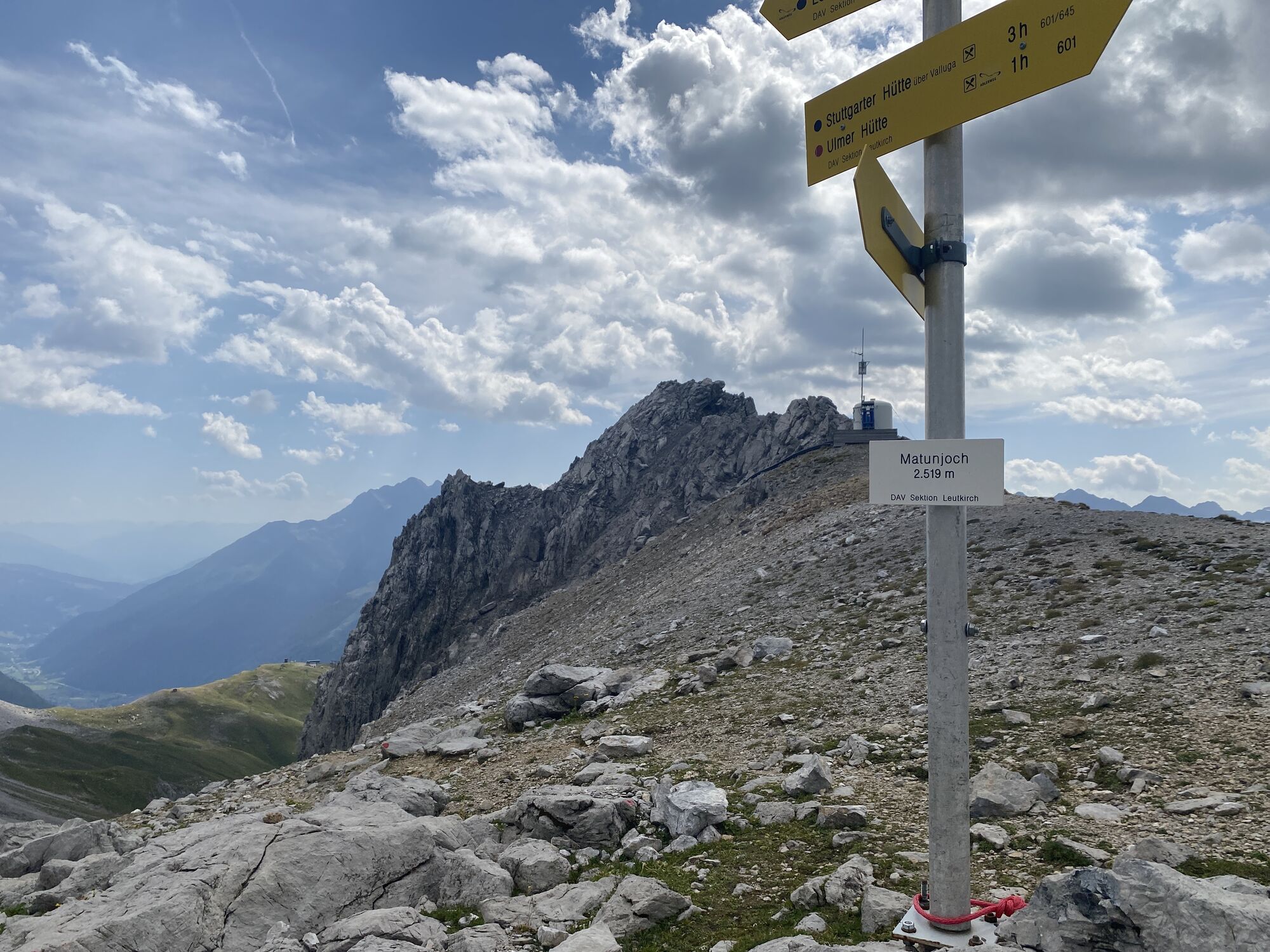
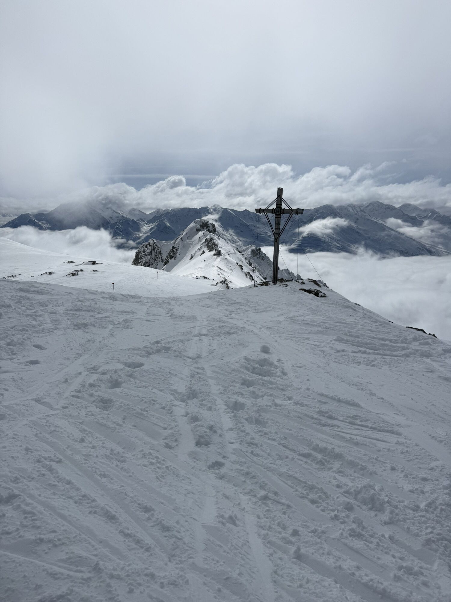
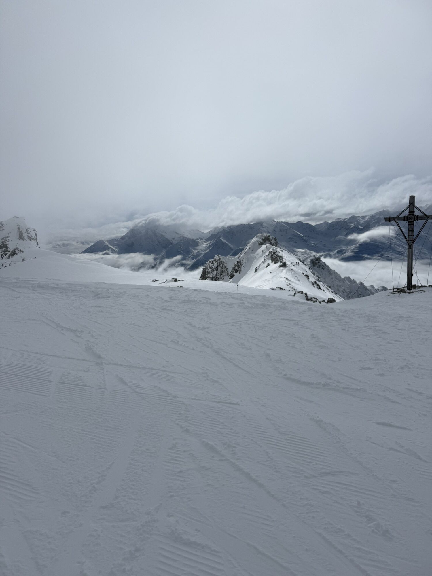
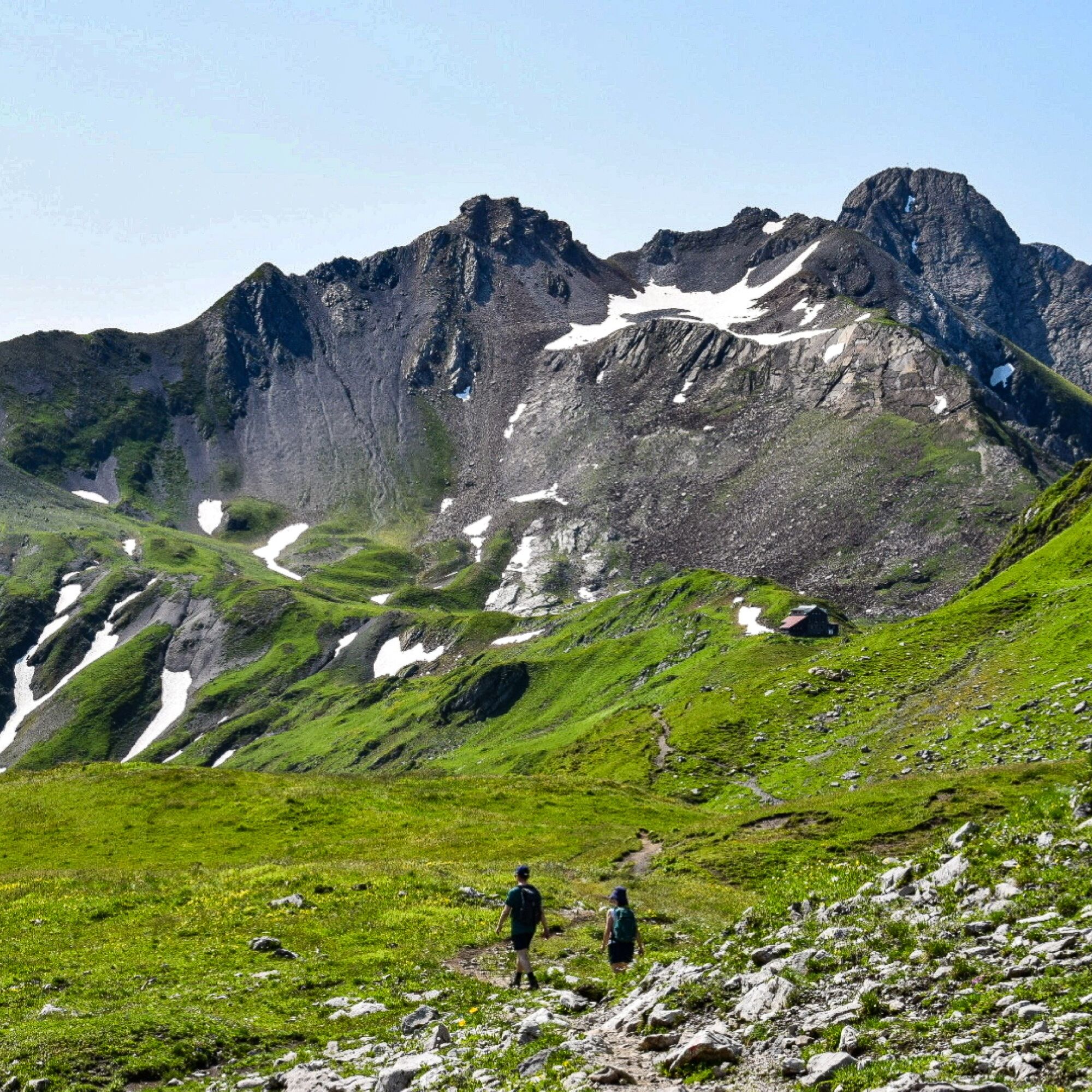
Special features: Almajurtal: The Almajurtal is an unspoilt side valley of the Lechtal and virtually untouched by tourism.
Knoppenkarsee: The hidden meltwater lake in the Knoppenkar is a natural gem offering a unique view of the 2,747 m high Roggspitze.
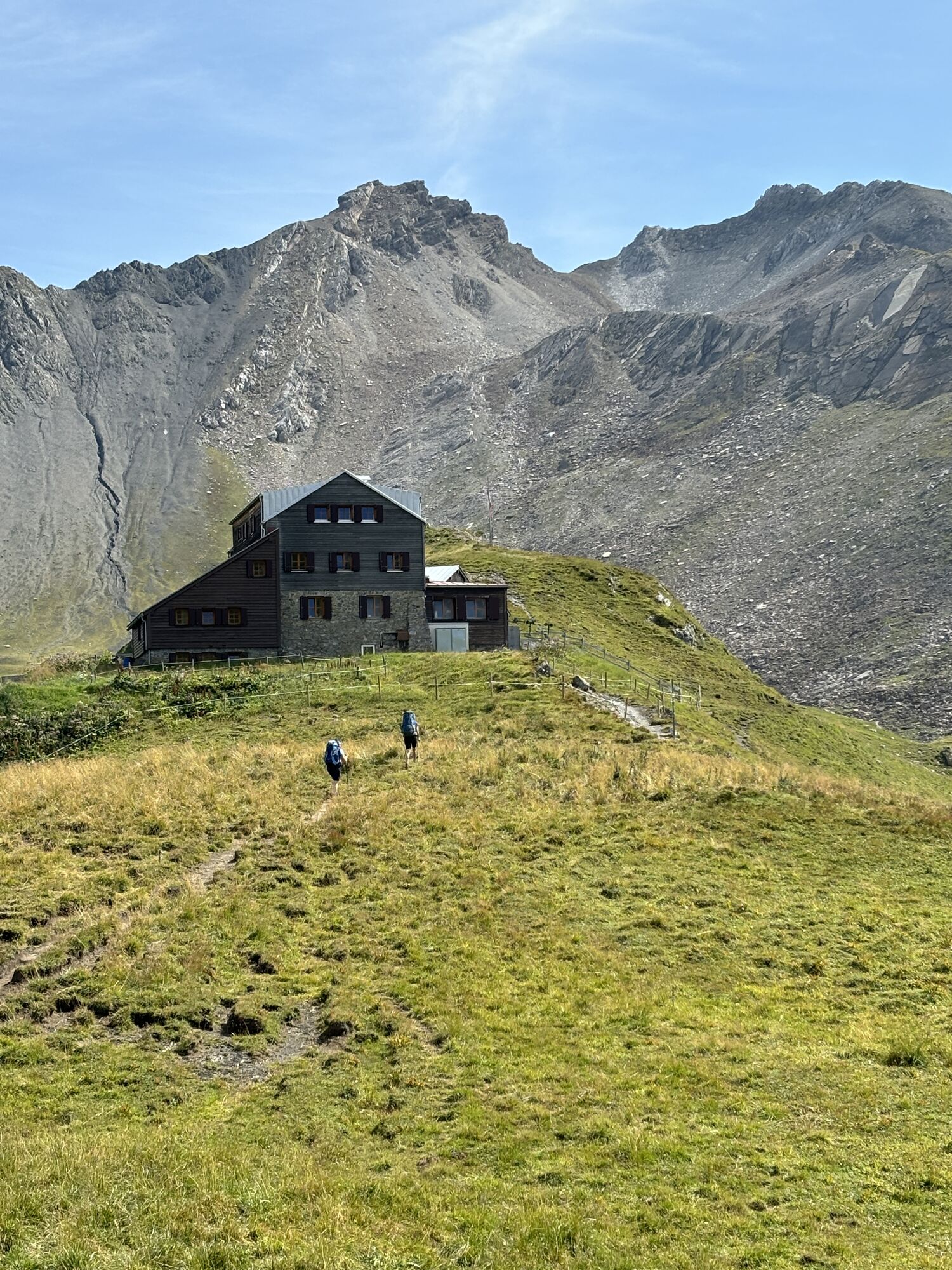
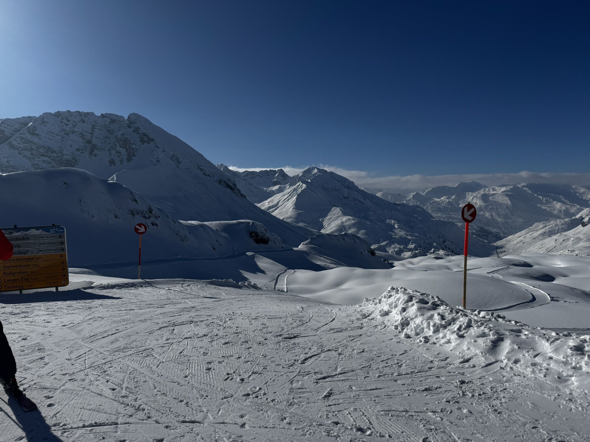
Alternative route: Rüfikopf – Stuttgarter Hütte – Zürs – by Postbus to St. Anton
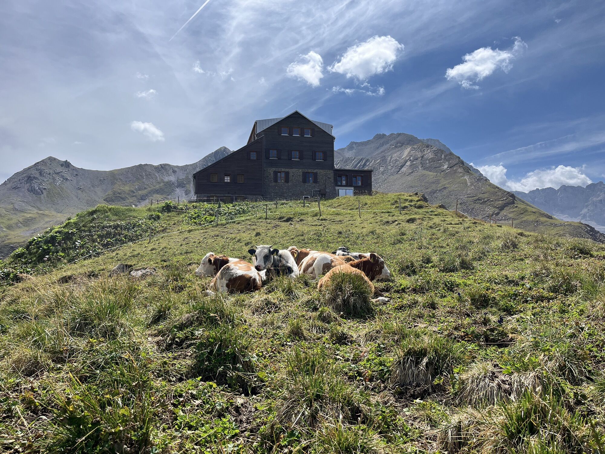
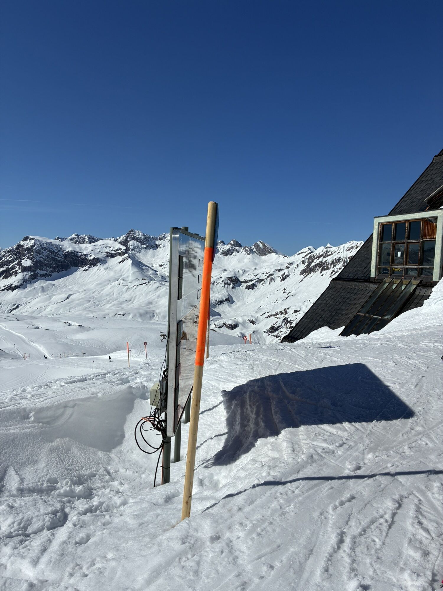
Places to stop for refreshments: Rüfikopf Panoramarestaurant, Stuttgarter Hütte, Valluga I mountain station and restaurants in St. Anton am Arlberg
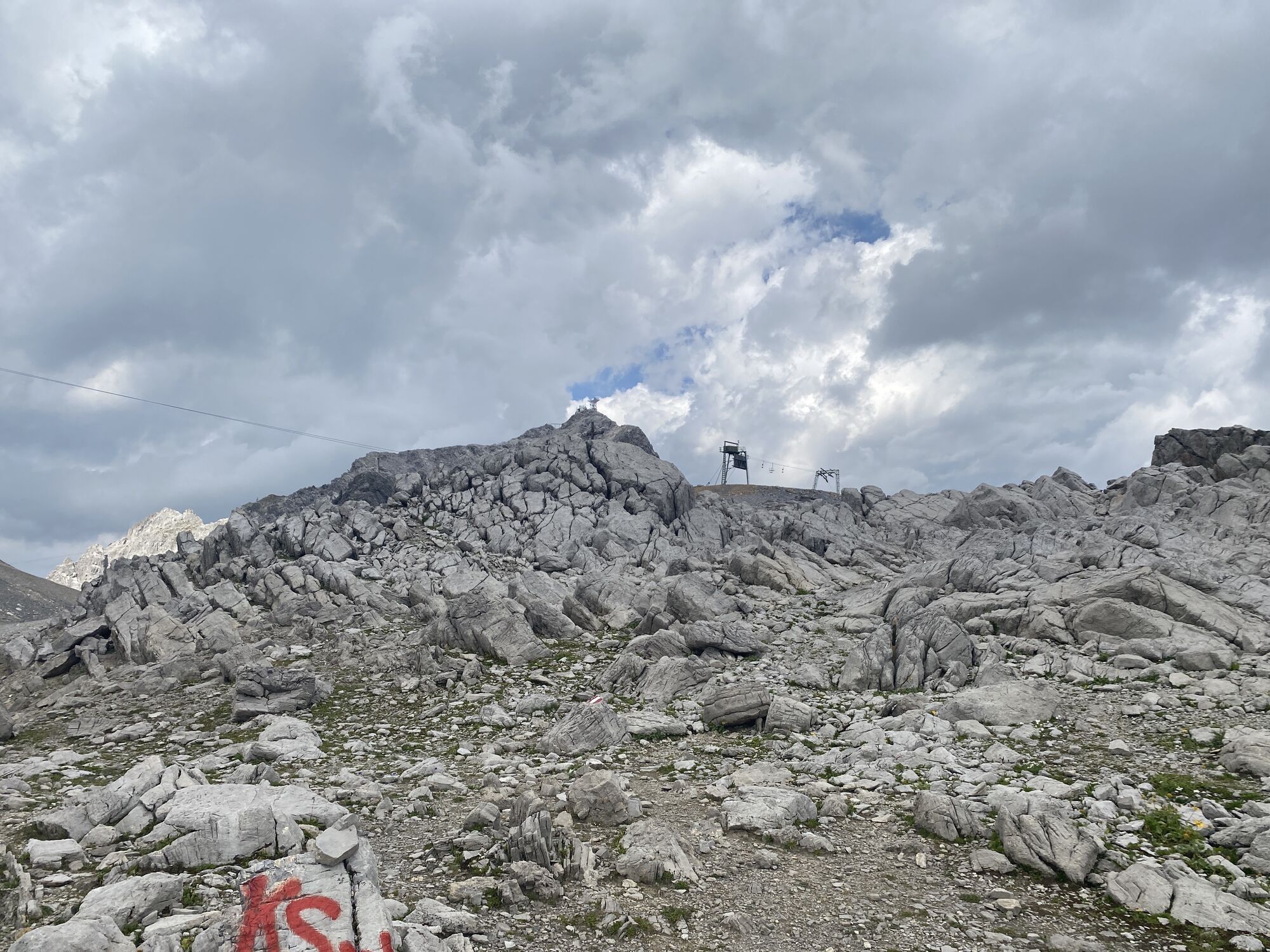
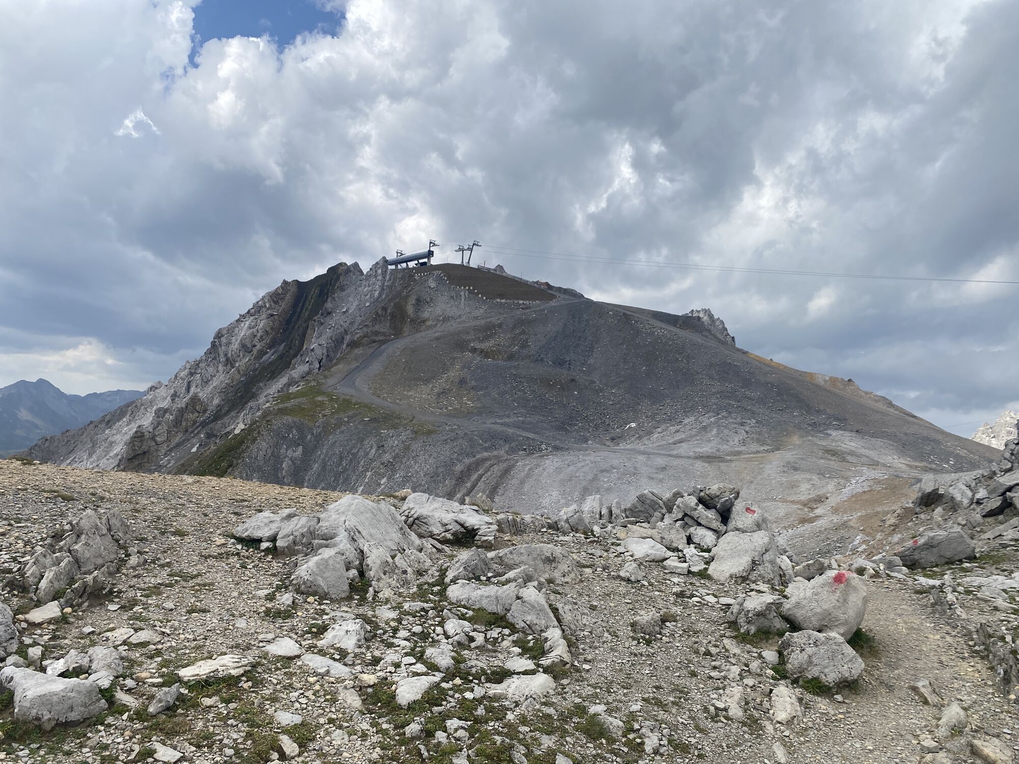
Lifts required: Rüfikopf cable car, Vallugabahn I and Galzigbahn
Webové kamery z prehliadky
-
Valluga
-
Flühenlift
-
Galzig Bergstation
-
Gampen
-
Skicenter
-
Oberlech
-
Zürs - Trittkopf Bergstation
-
Zürs - Seekopf
-
Lech am Arlberg - Hotel Goldener Berg Oberlech
-
St. Christoph
-
Lech am Arlberg - Pension Bergland
-
Lech am Arlberg - Kriegerhornbahn
-
Kapall
-
Stuben am Arlberg - Ortsblick
-
Galzig - St. Anton Ost
-
Zug
-
Lech am Arlberg
-
Oberlech - Pension Bergland
-
Lech - Wöstersattel
-
Stuben
-
Schmelzhof
-
Chalet Anna Maria
-
Lech Rüfikopf
Obľúbené výlety v okolí
-
4,7
Widderstein Runde von Baad
strednáTuristika 15,8 km -
4,9
Holzgau zur Rossgumpenalm
strednáTuristika 4,09 km -
4,8
Biberkopf
ťažkéTuristika 7,70 km -
4,4
St Anton zur Darmstädter Hütte
ťažkéMountainbike 28,4 km -
4,0
Stuben - Stubner See - Kaltenberghütte - Stuben
strednáTuristika 9,90 km -
4,9
Braunarlspitze
ťažkéTuristika 16,6 km -
4,8
Sulzalm
strednáTuristika 9,17 km -
4,0
Heilbronner Weg
ťažkéTuristika 18 km -
4,7
Lechweg Etappe 1
svetloTuristika 14,0 km -
4,1
Köbersee
svetloTuristika 6,66 km
Turistika a stopovanie


Nenechajte si ujsť ponuky a inšpiráciu na ďalšiu dovolenku
Vaša e-mailová adresa bol pridaný do poštového zoznamu.