







Stuttgarter hut
Úroveň náročnosti: T2
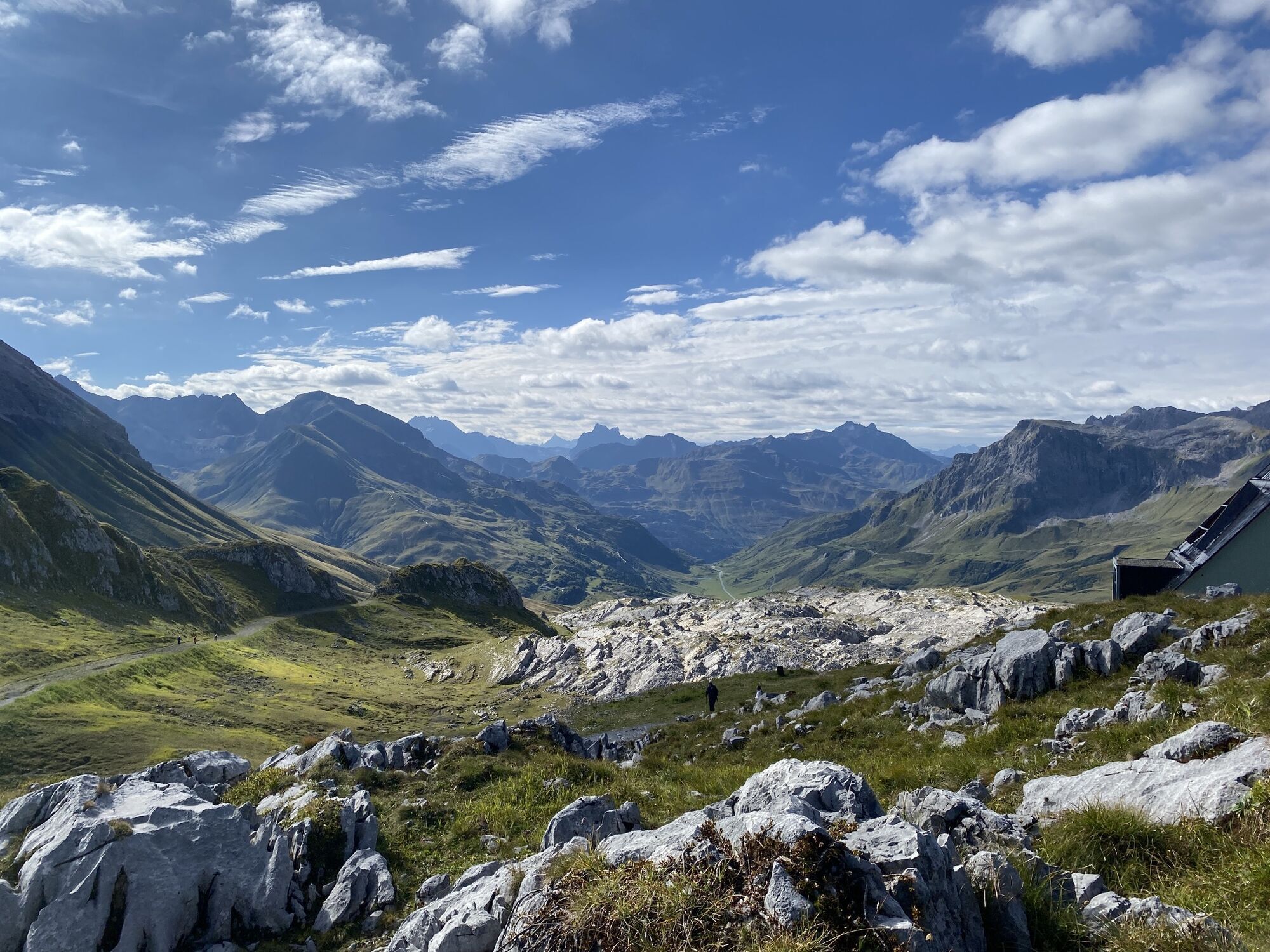
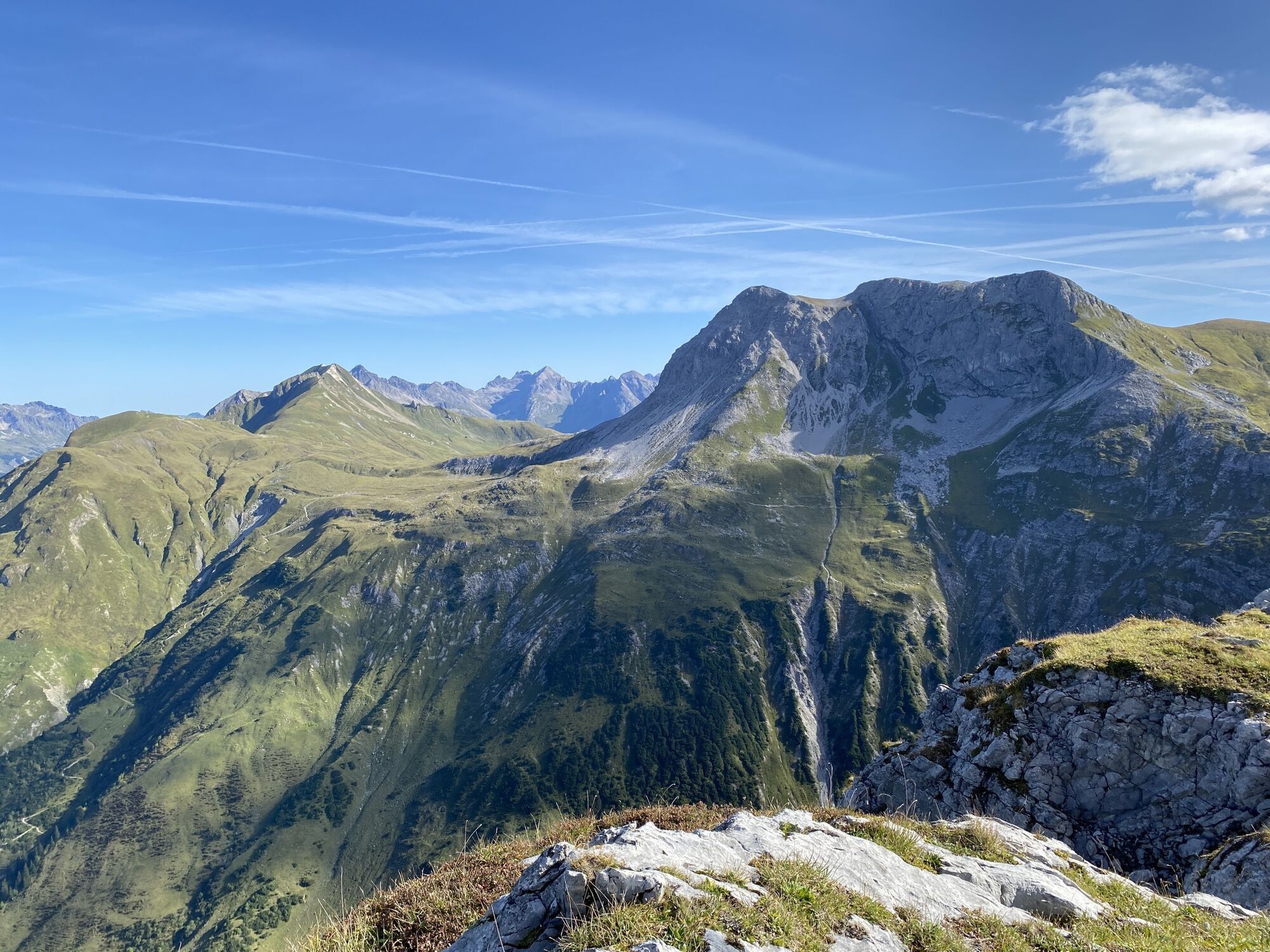
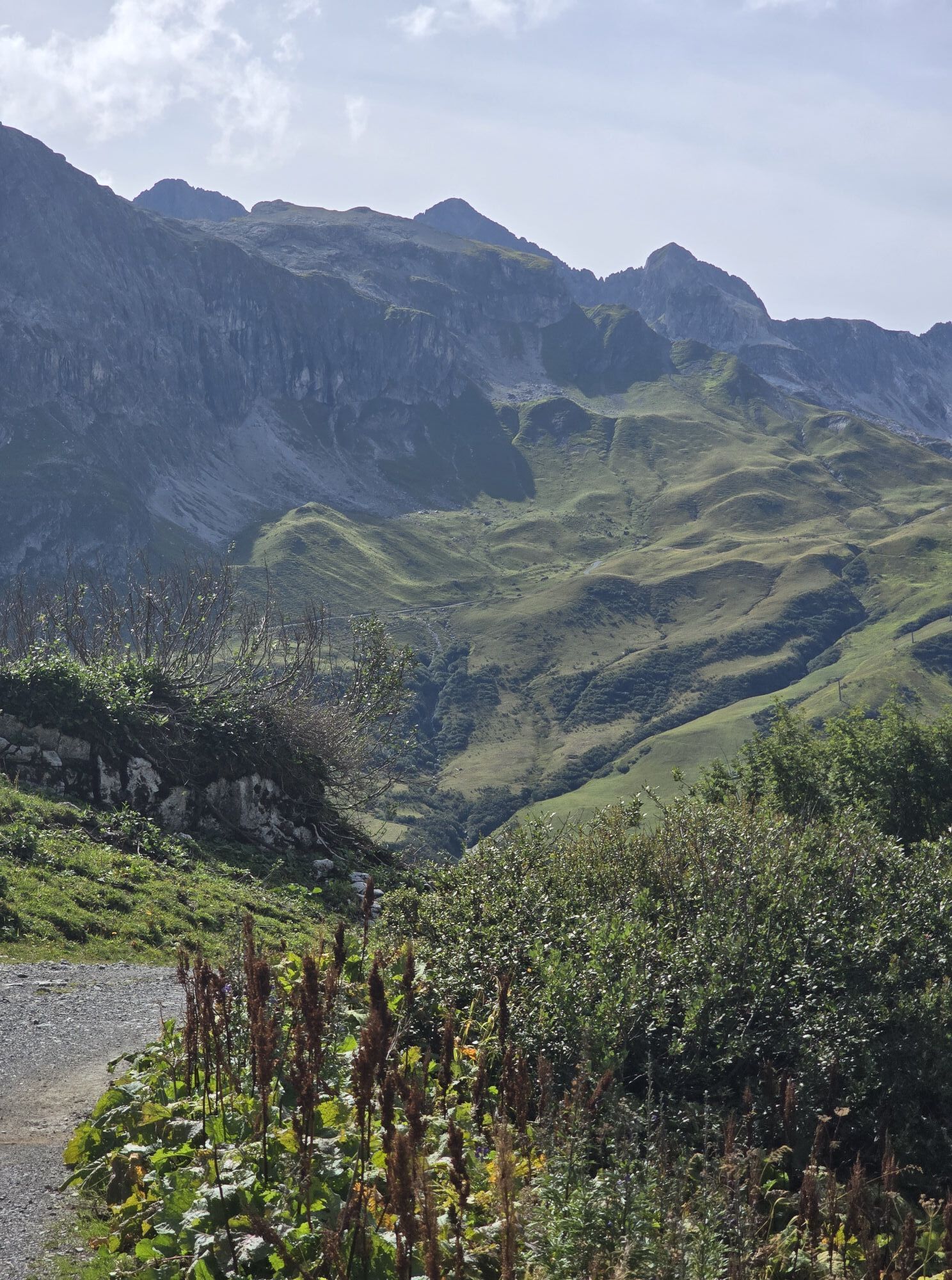
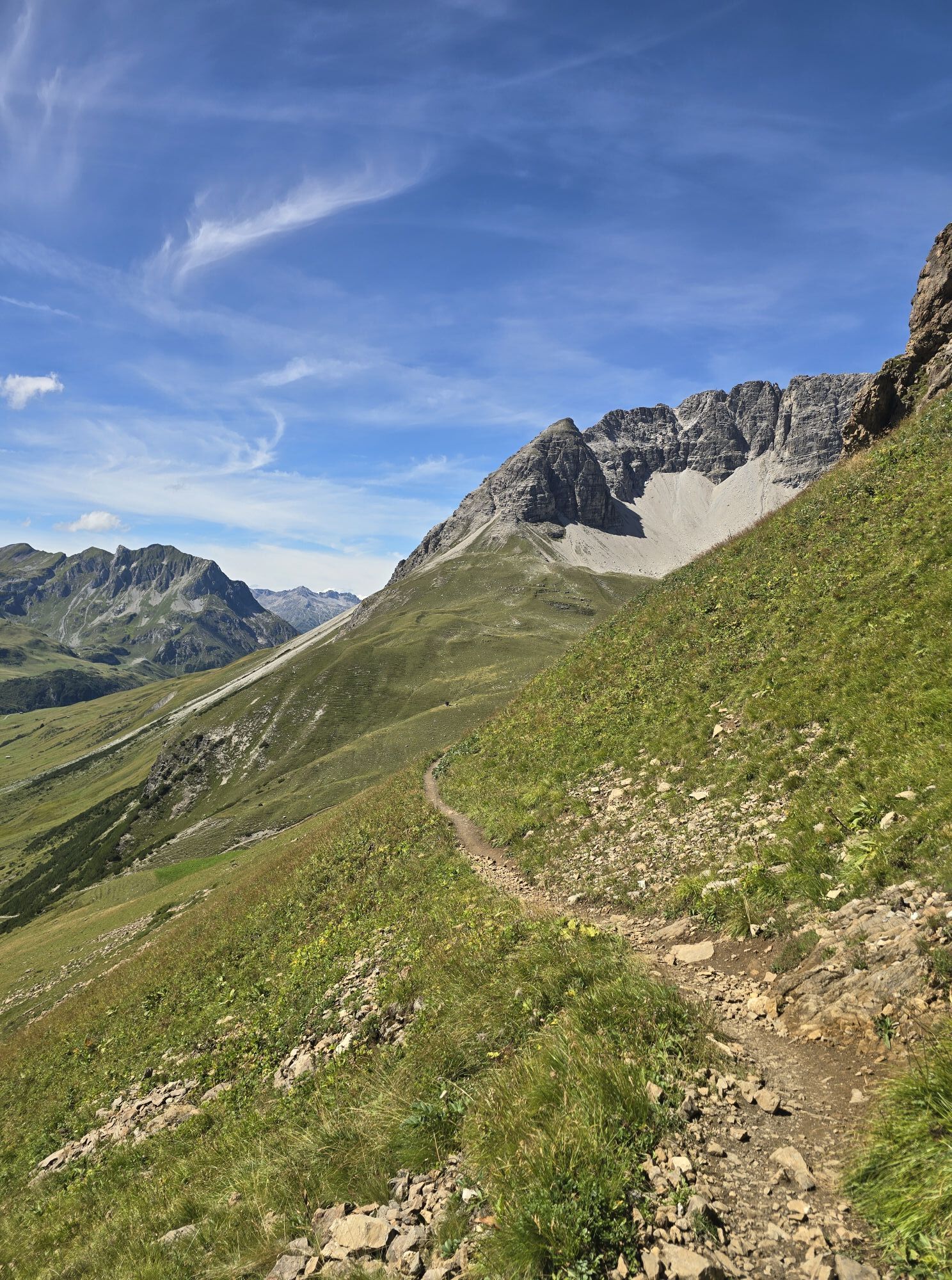
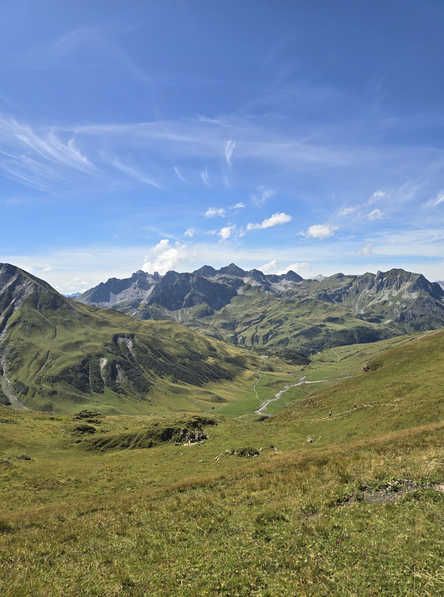
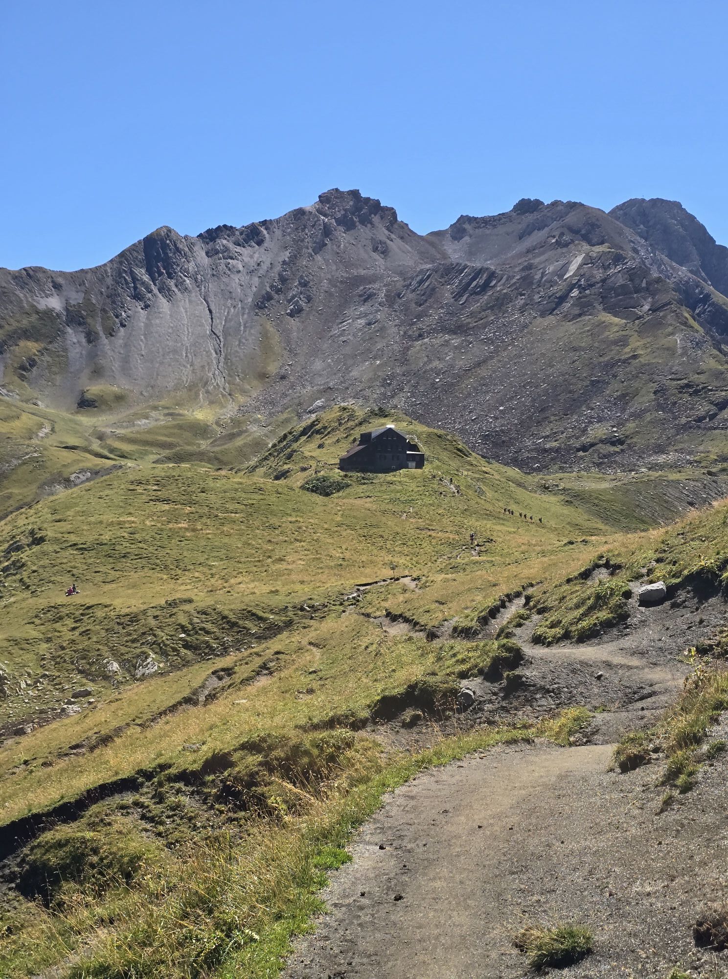
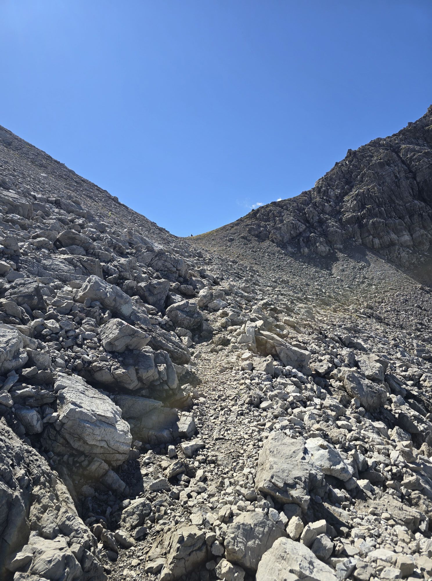
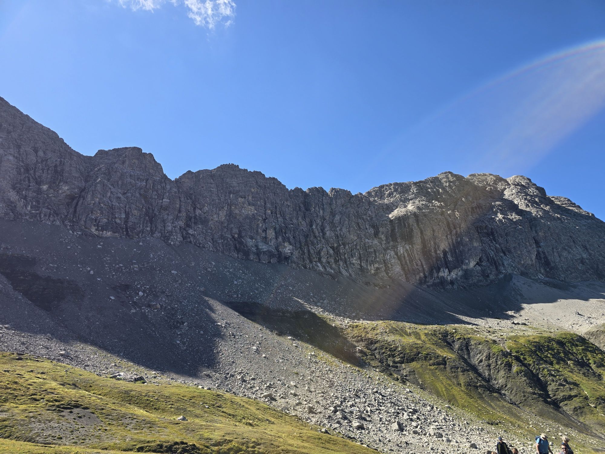
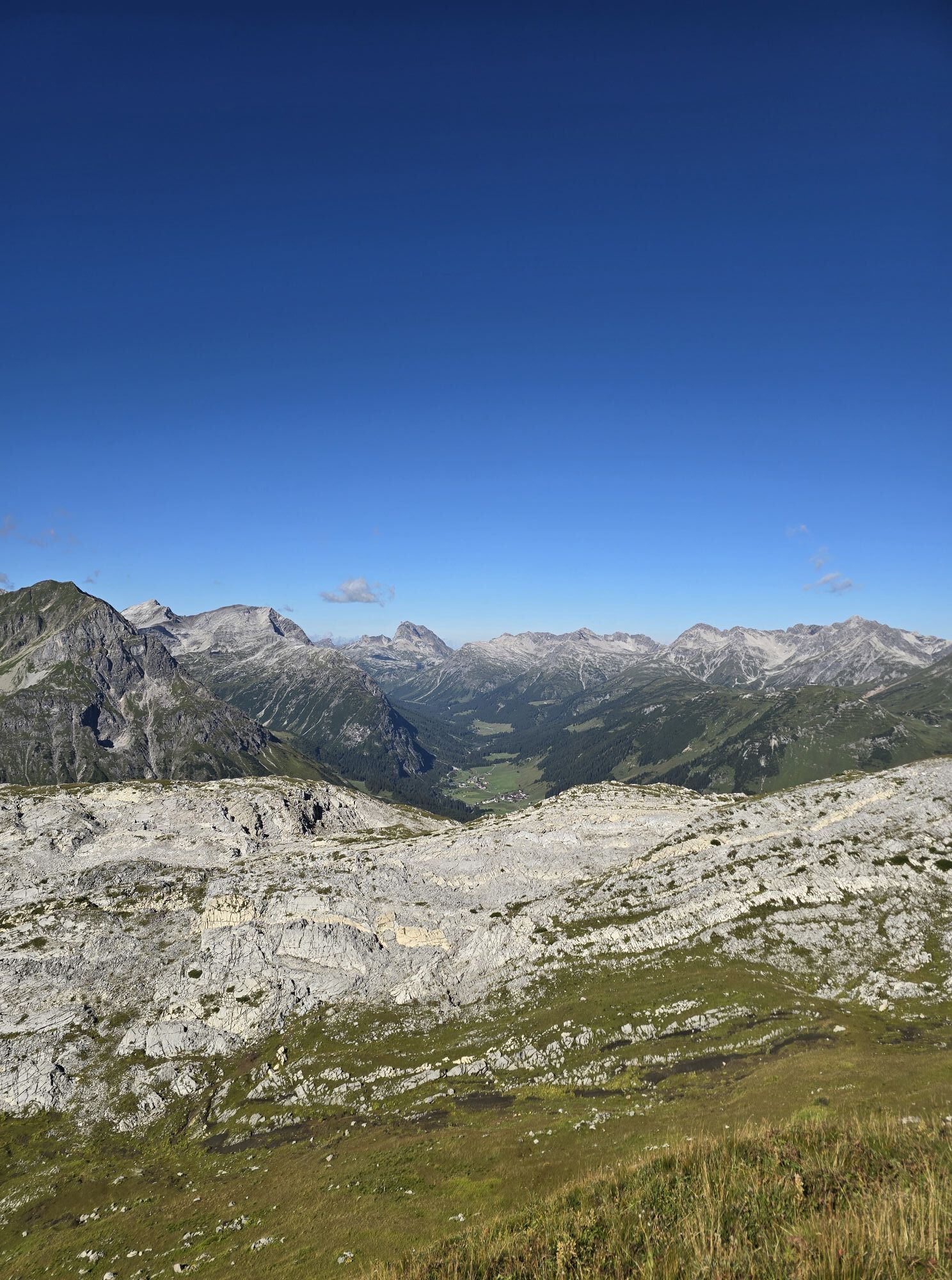
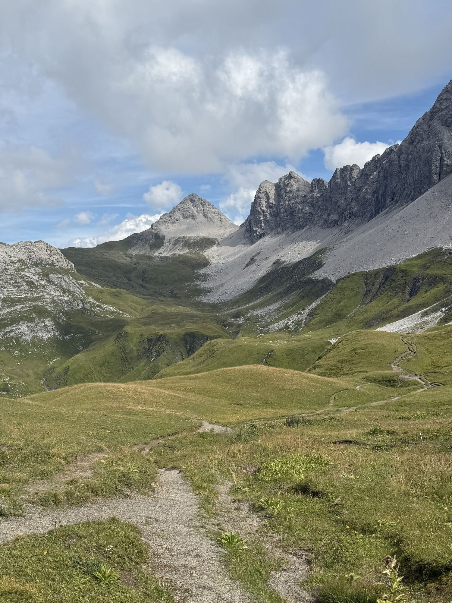
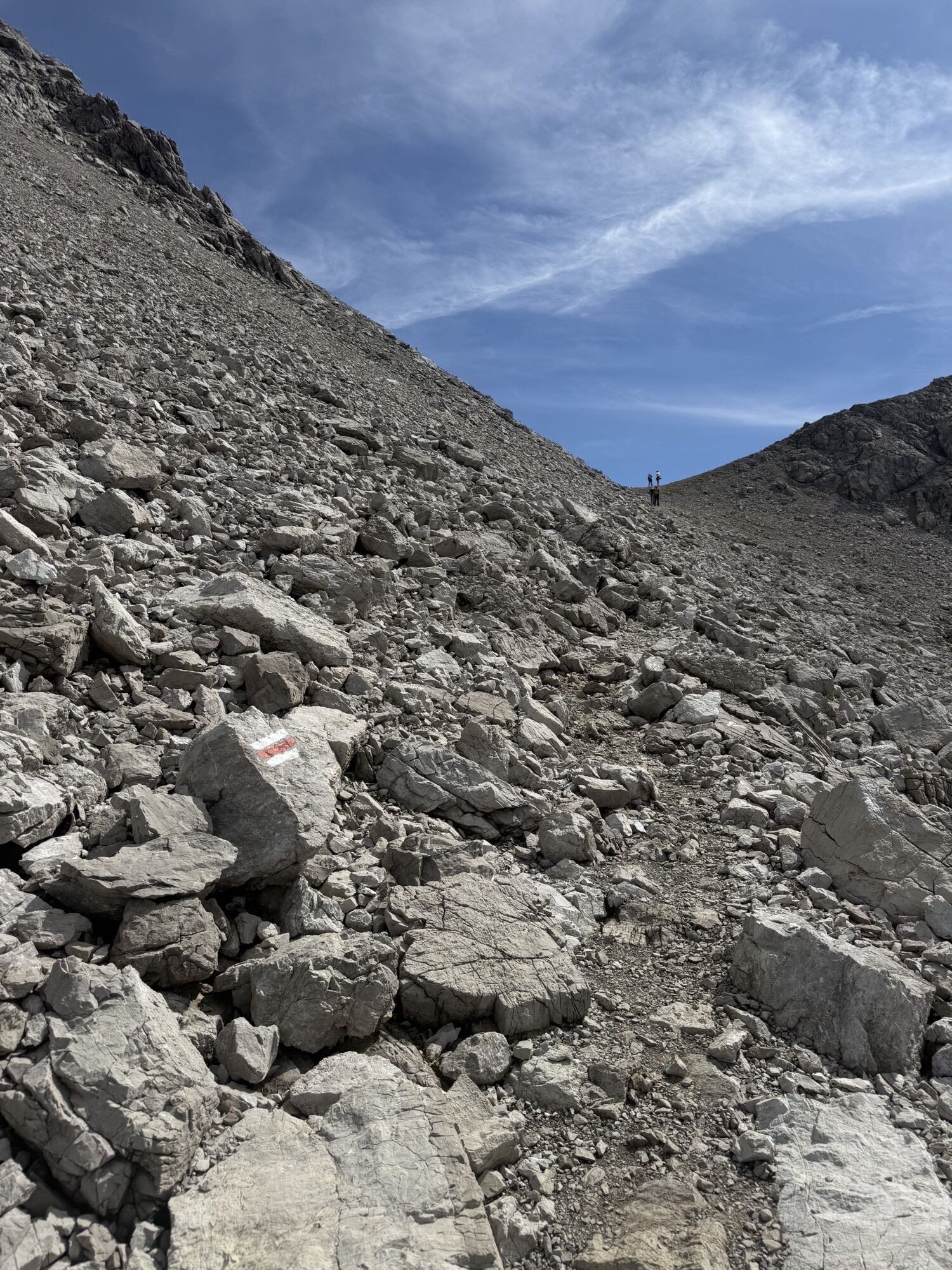
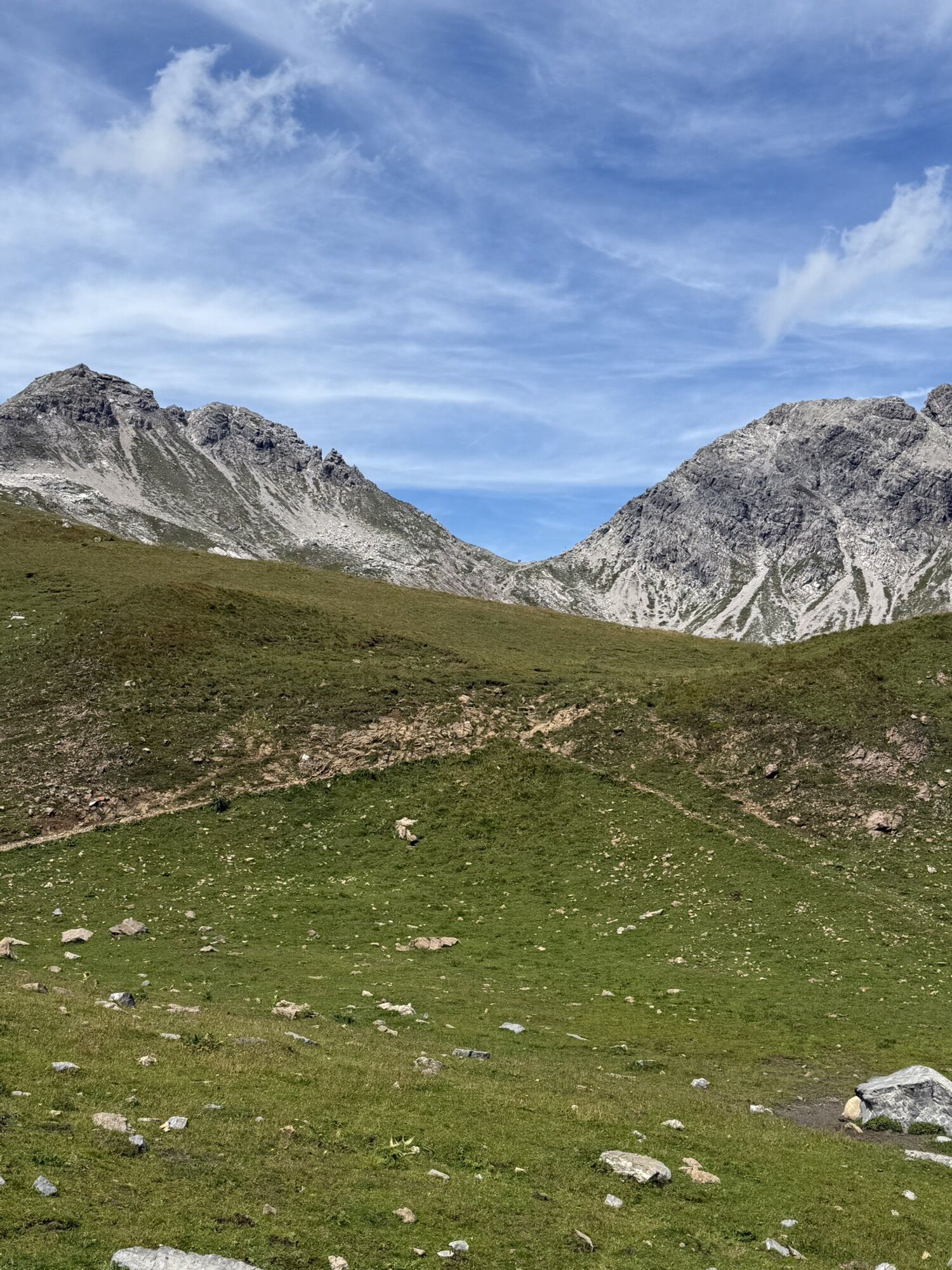
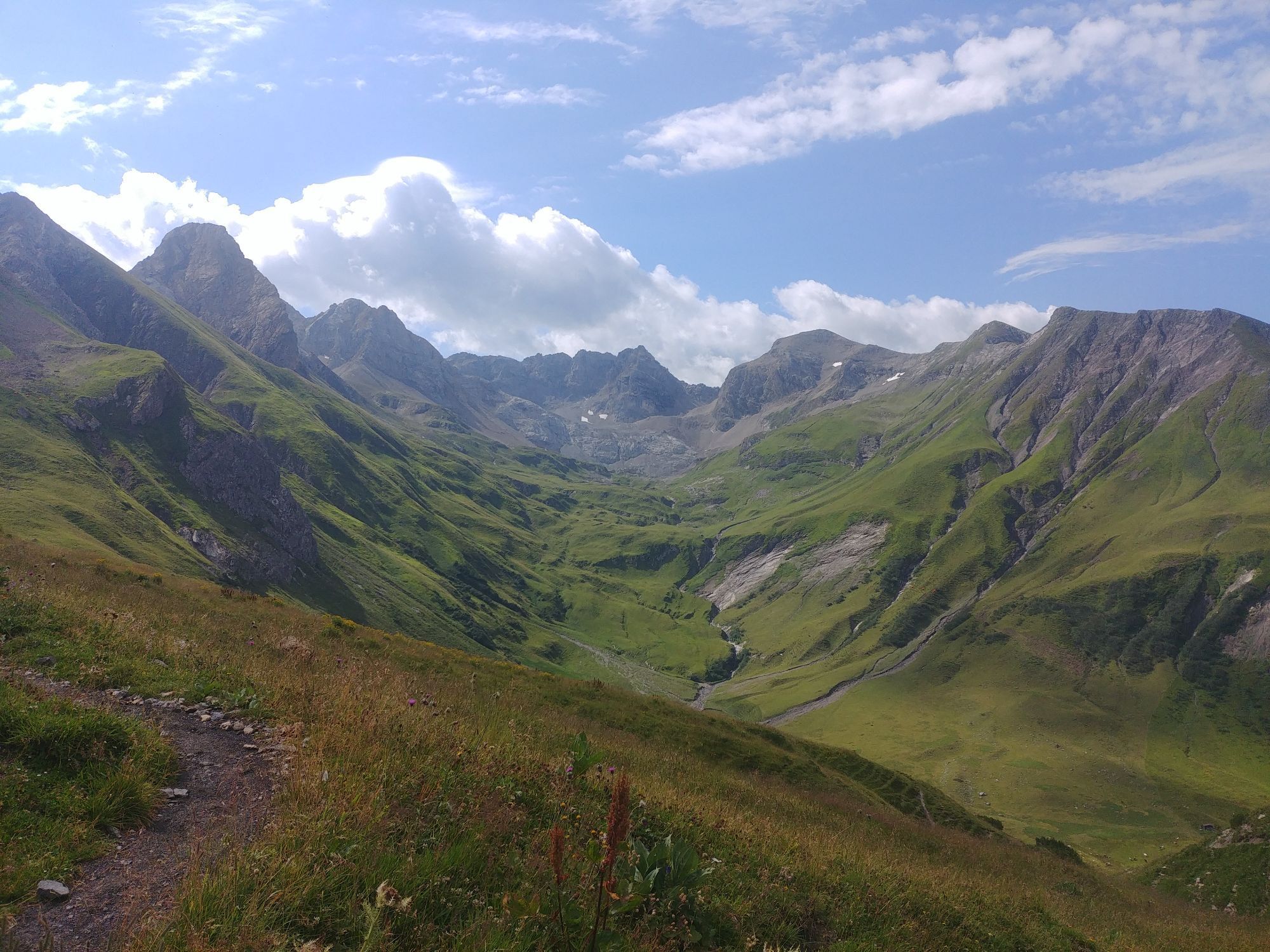
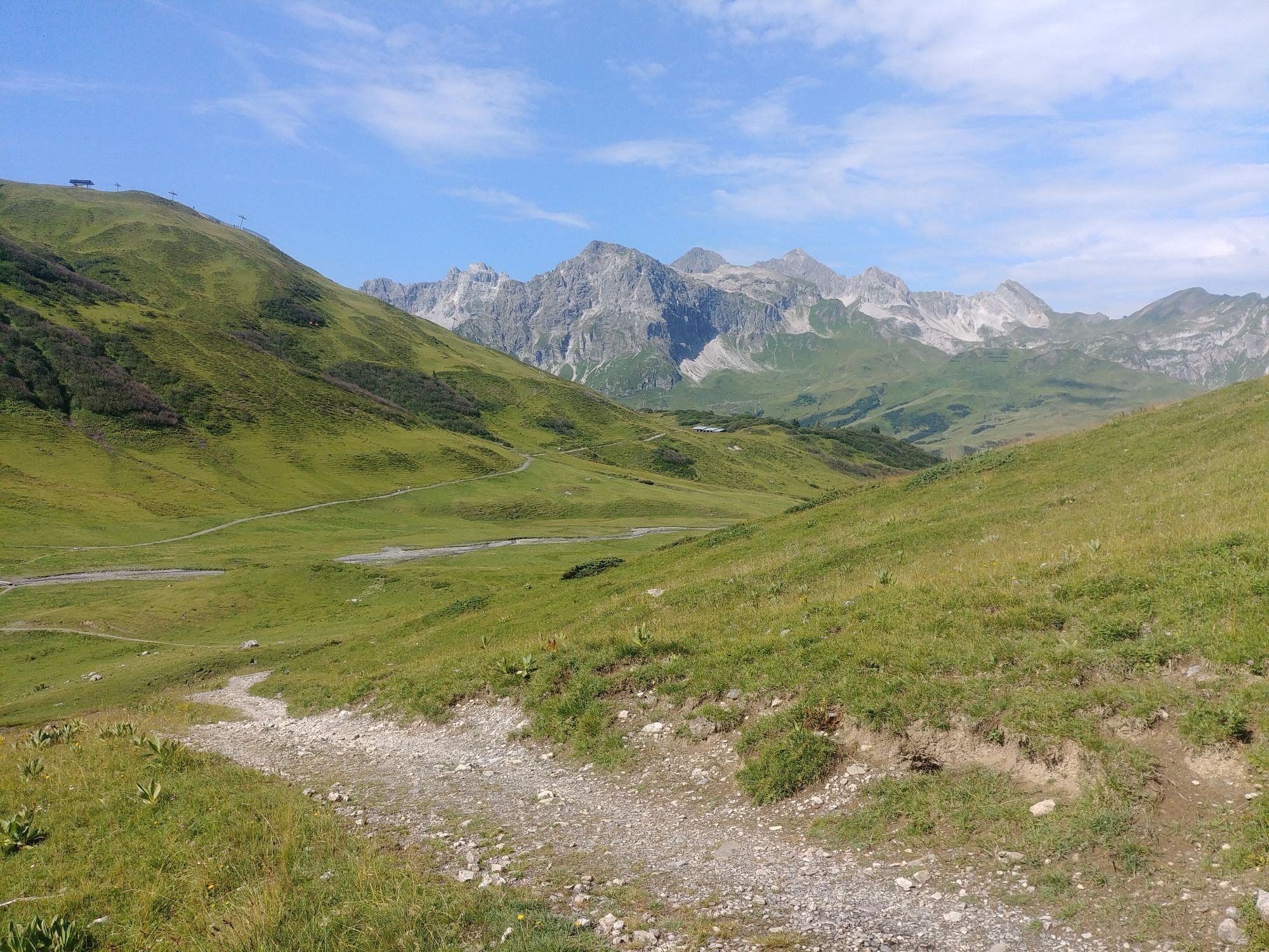
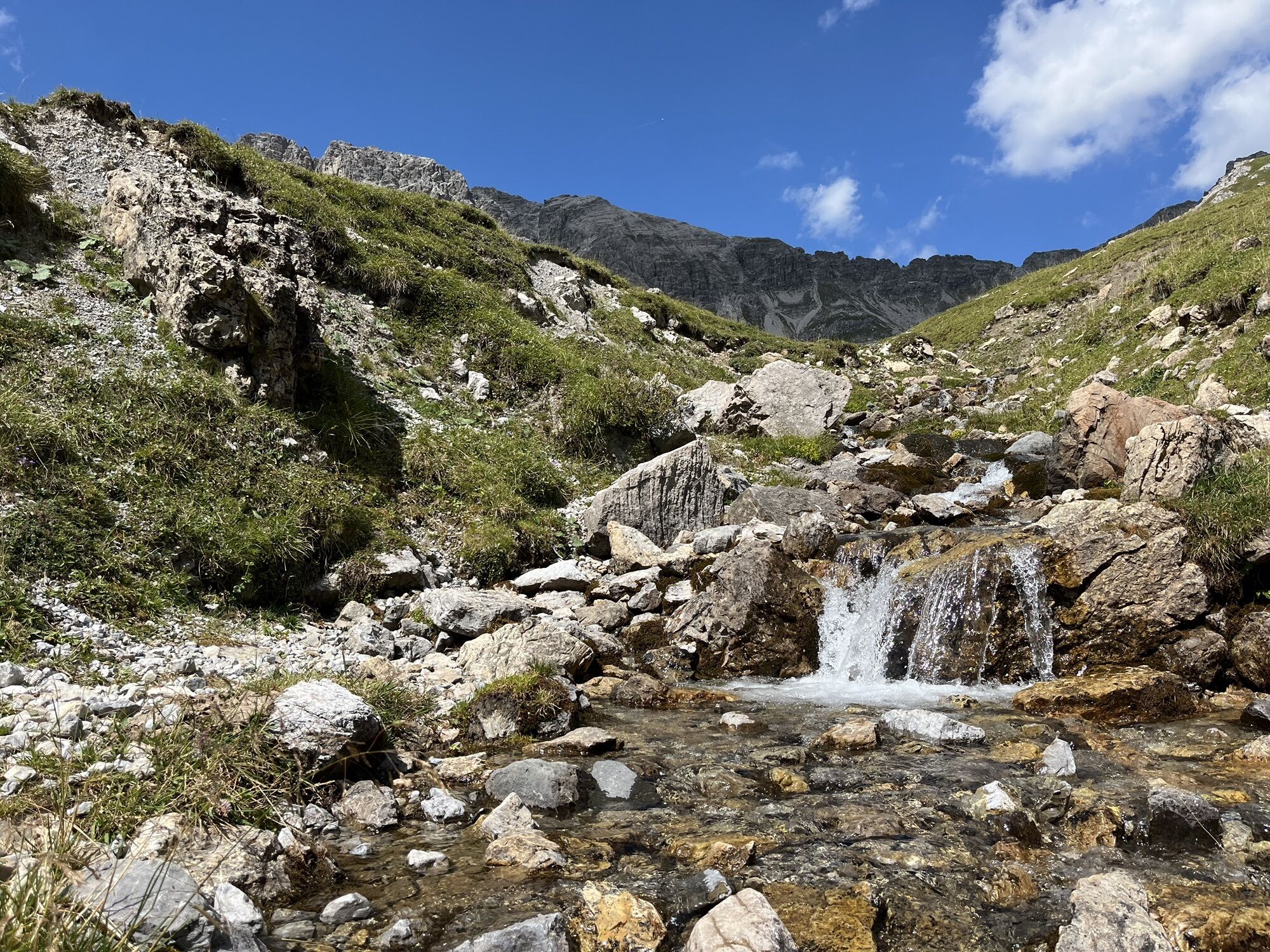
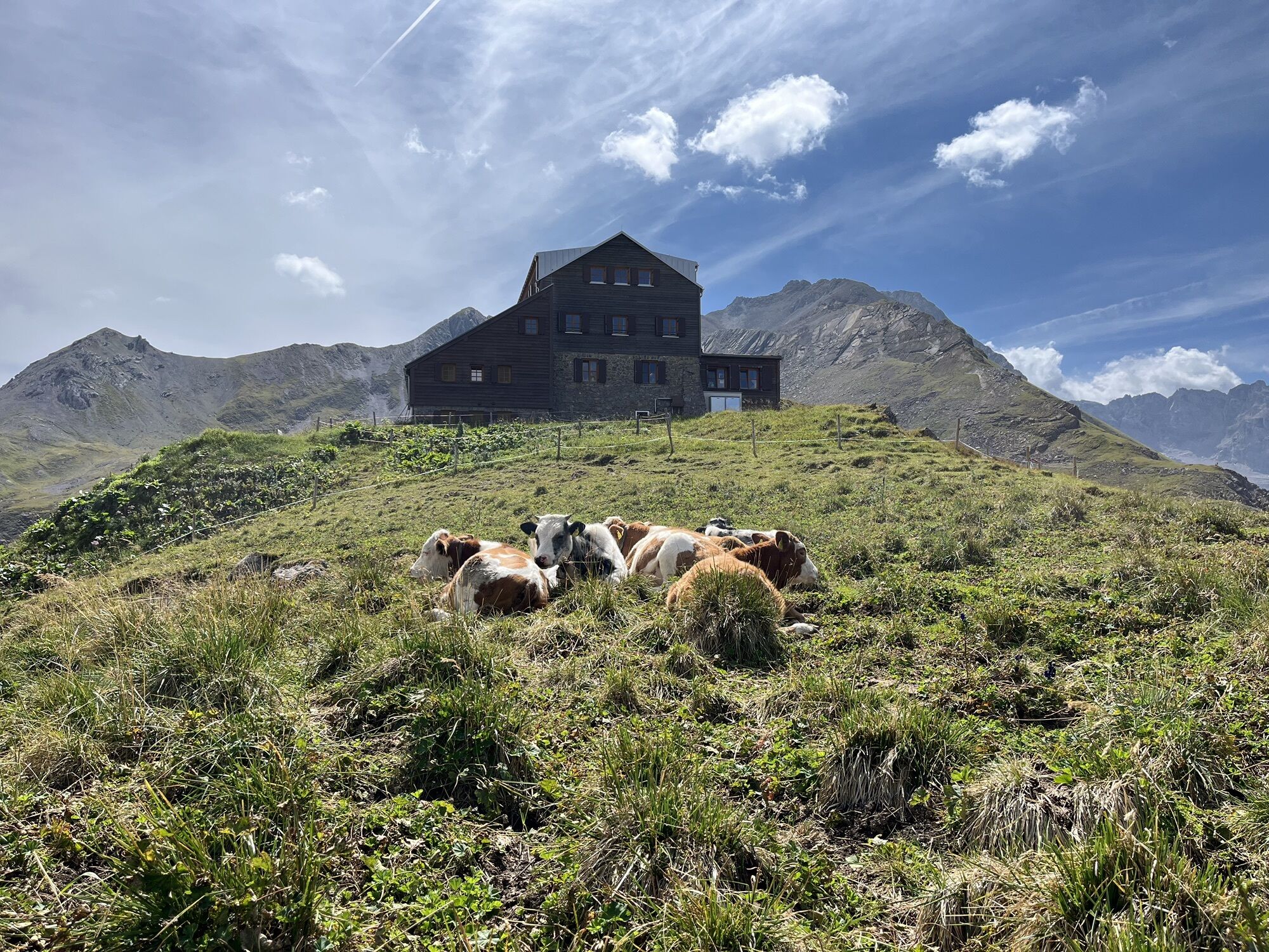
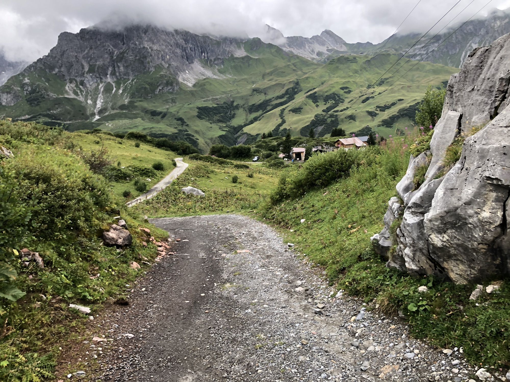
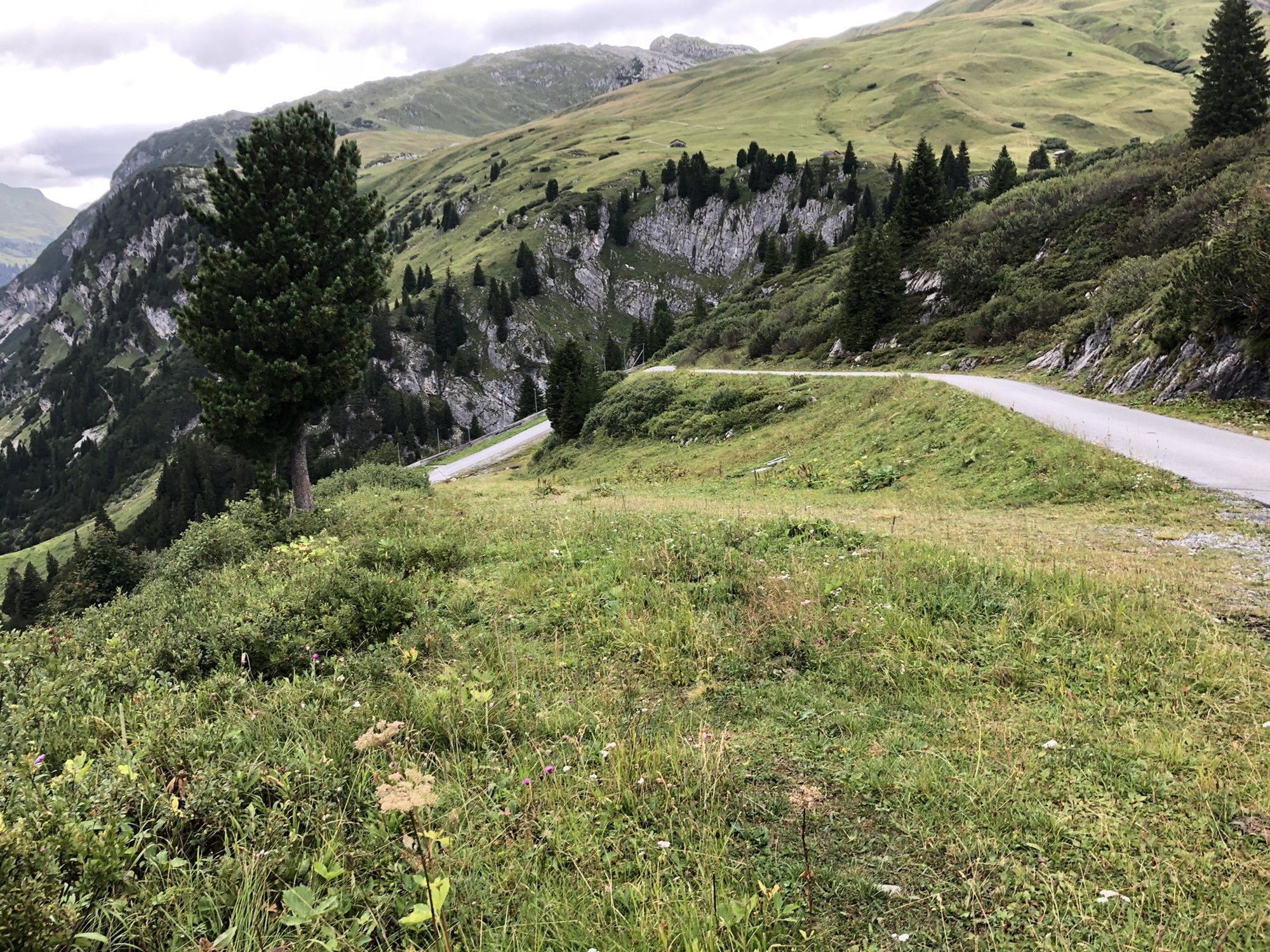
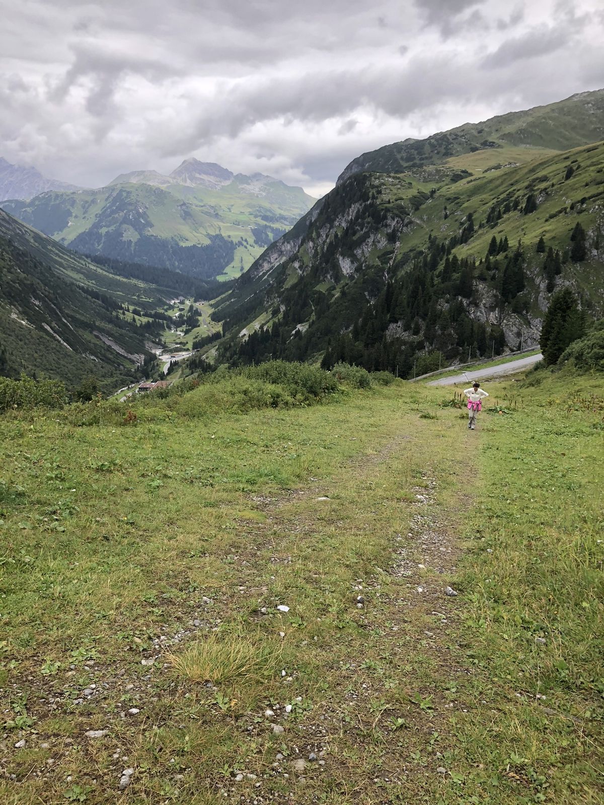
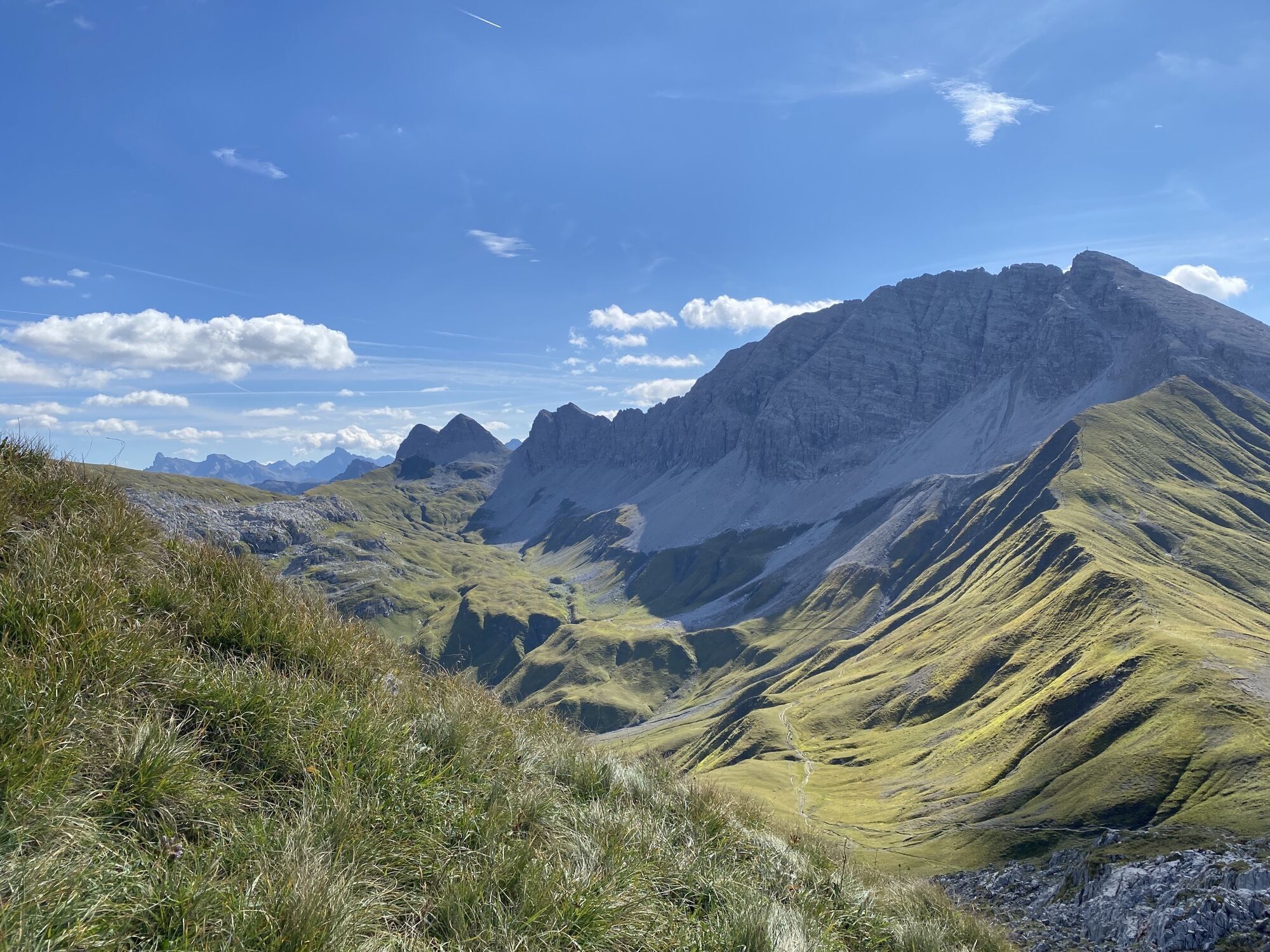
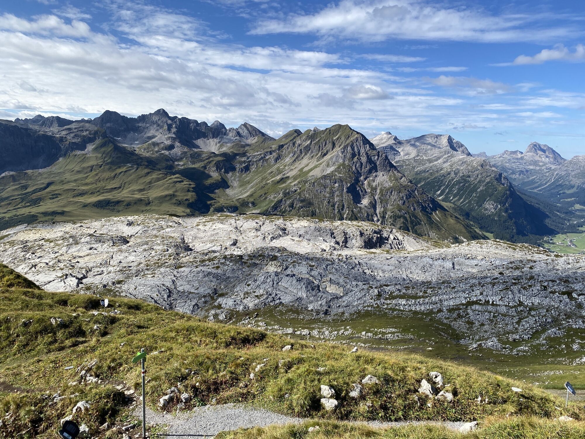
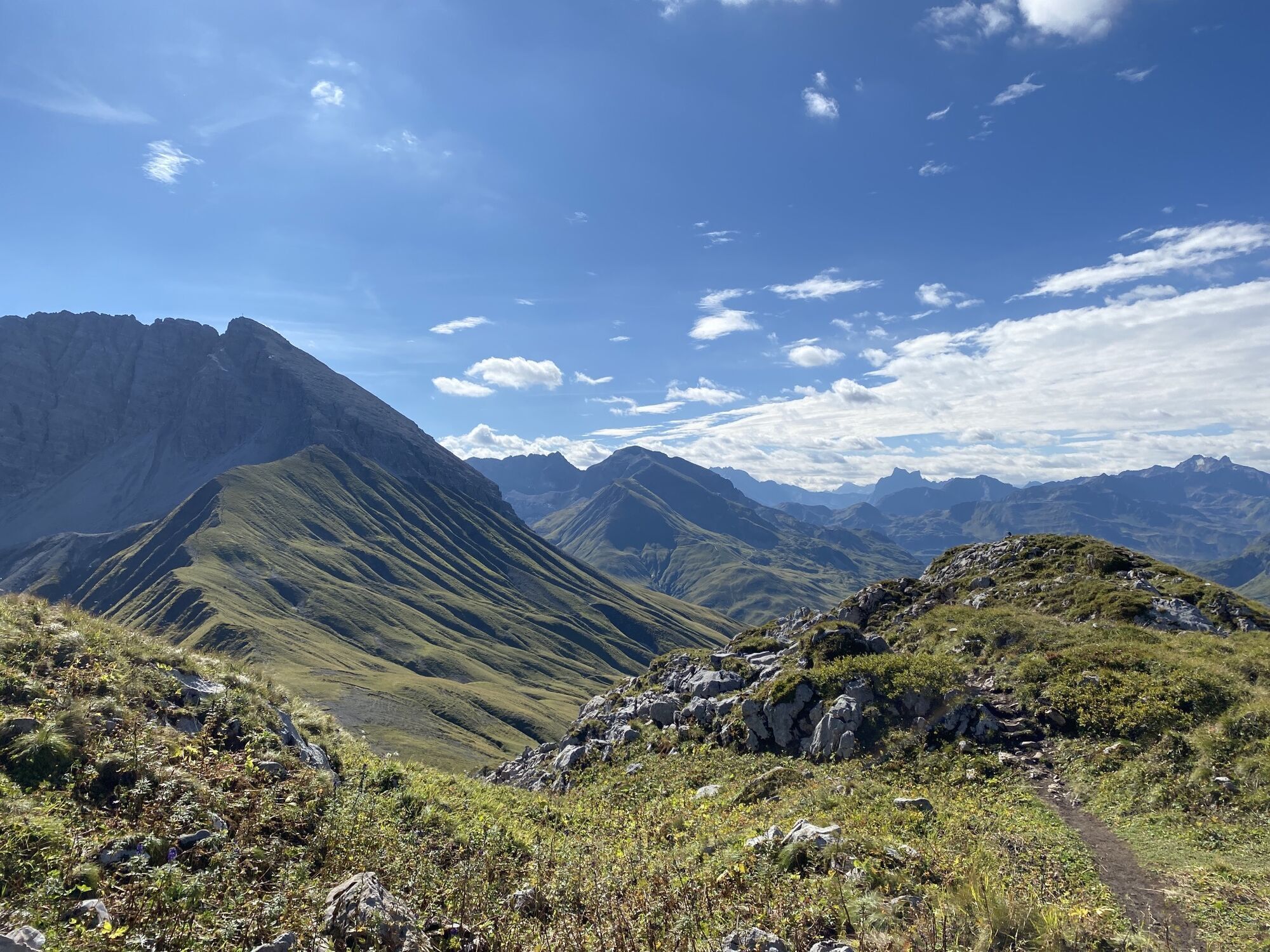
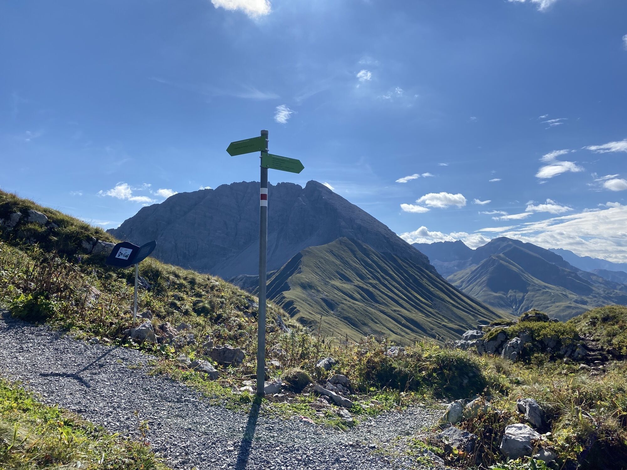
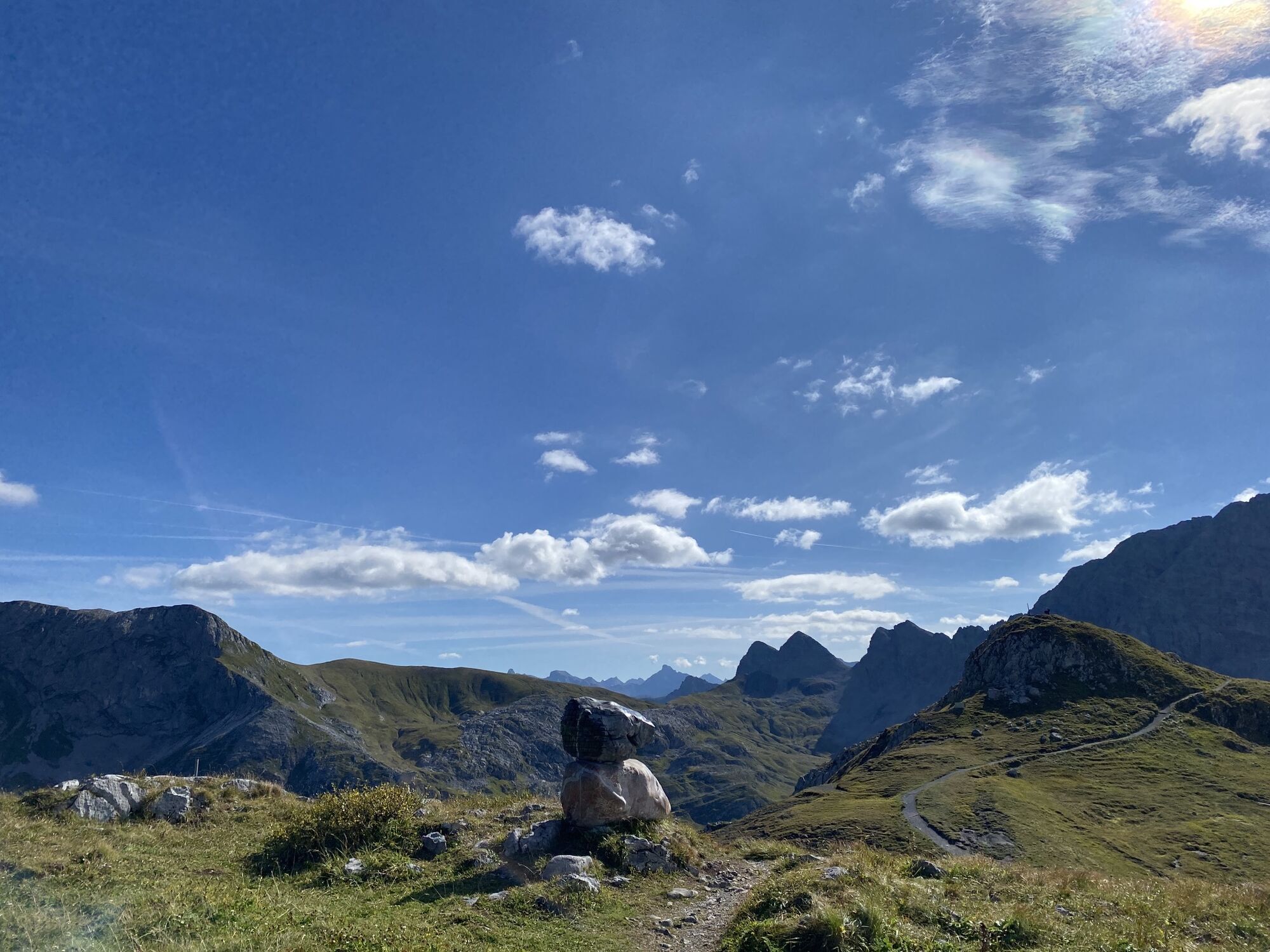
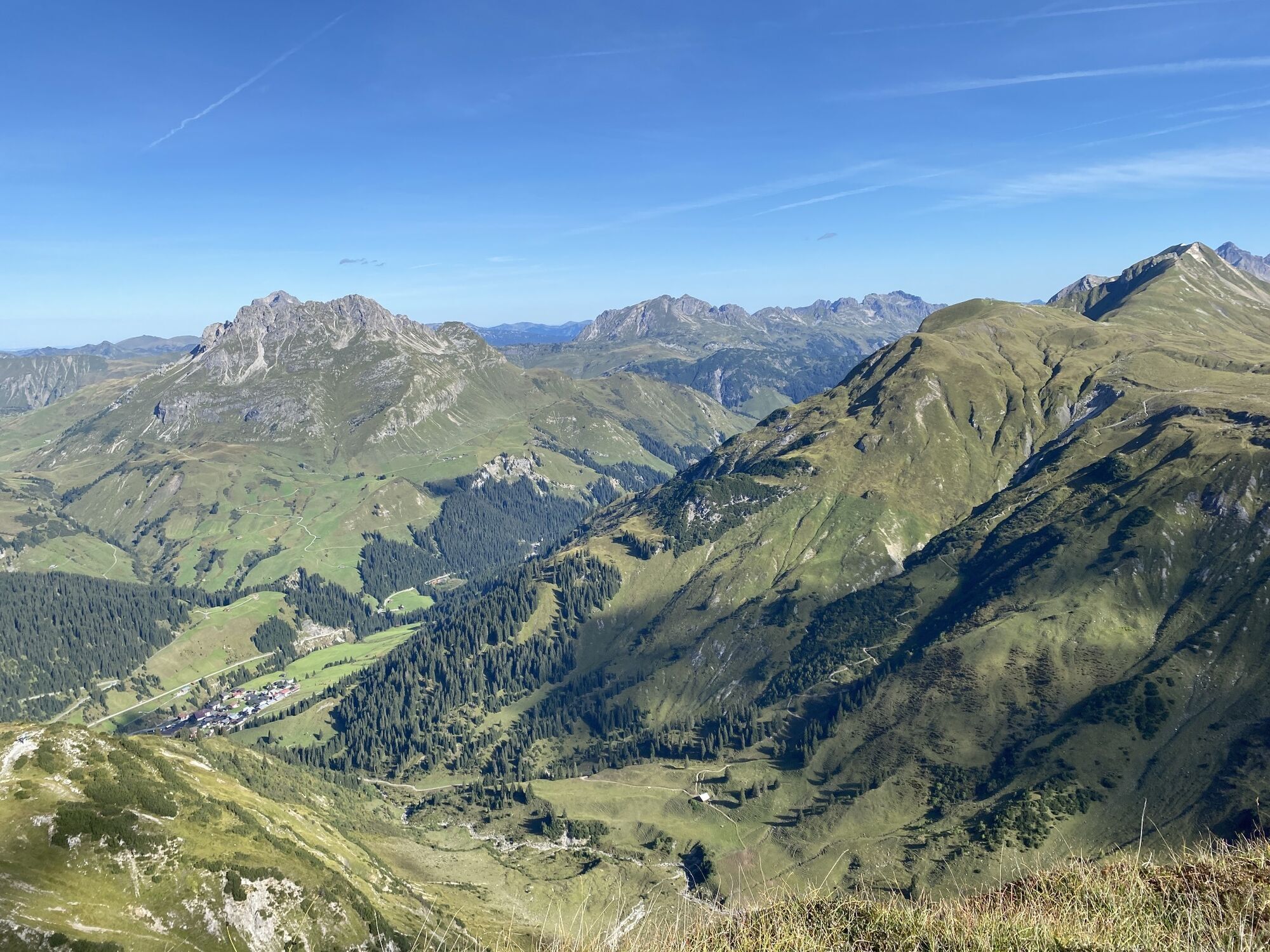
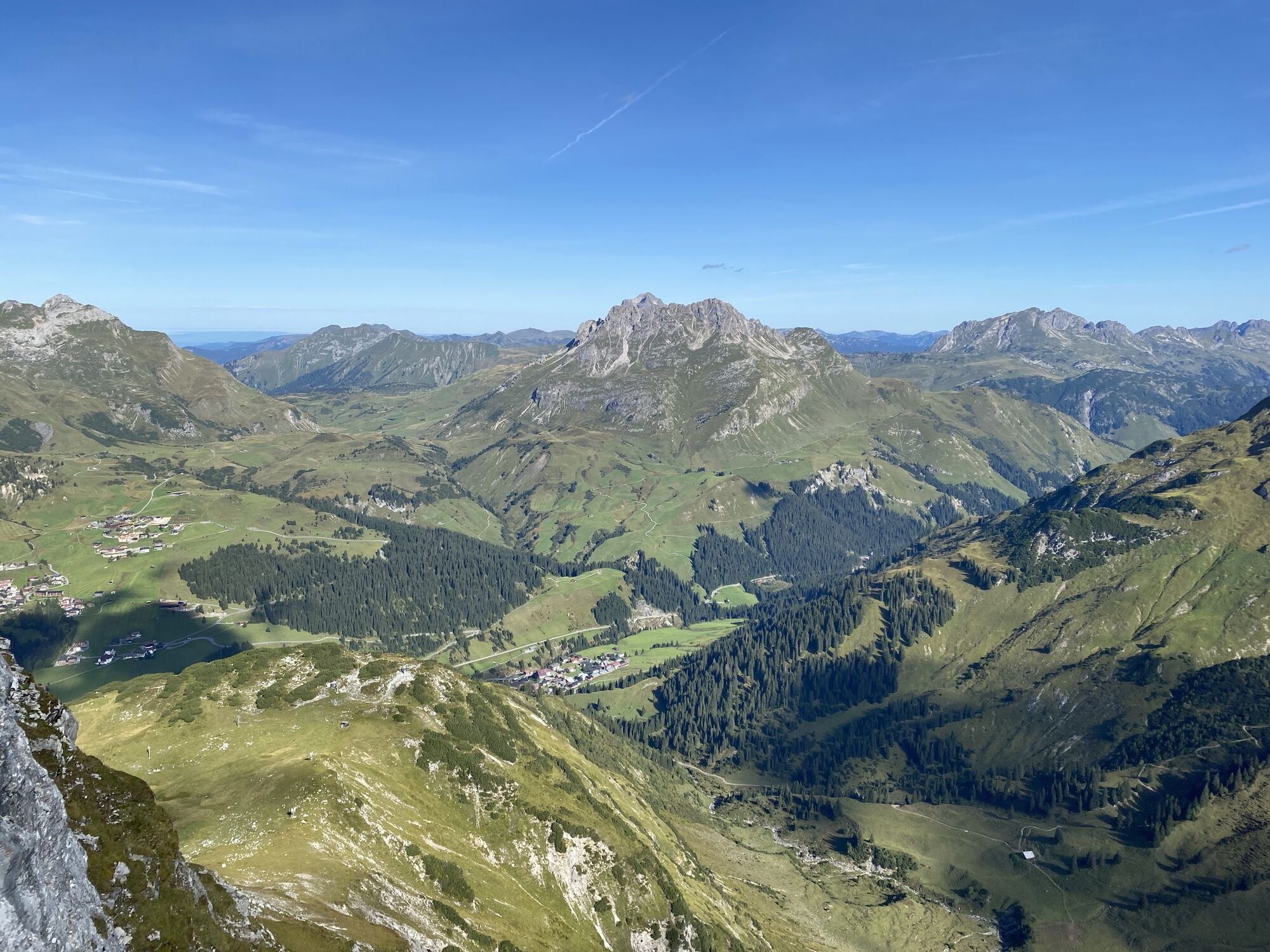
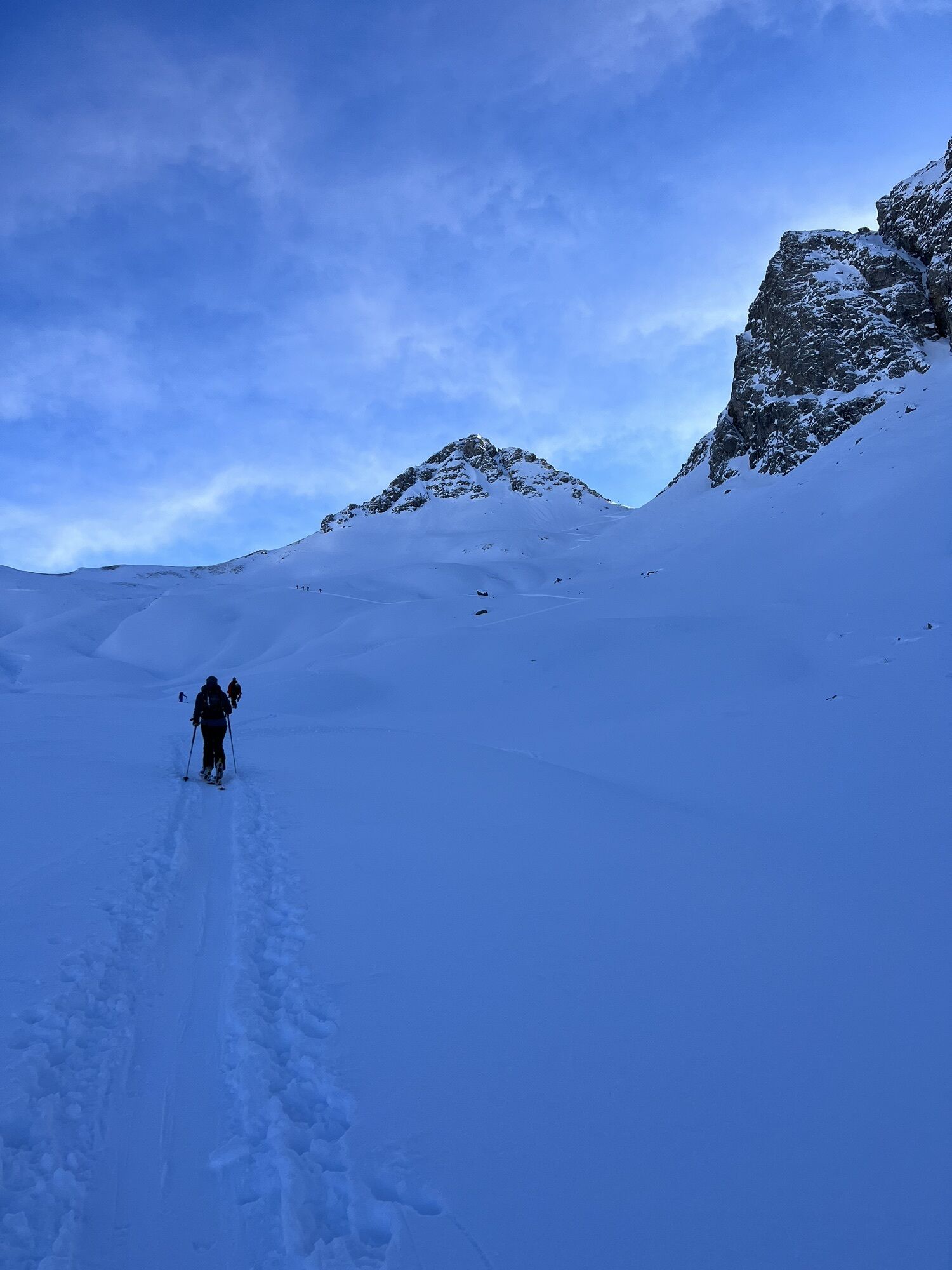
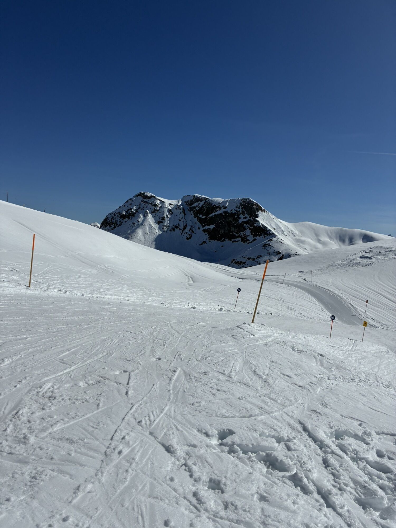
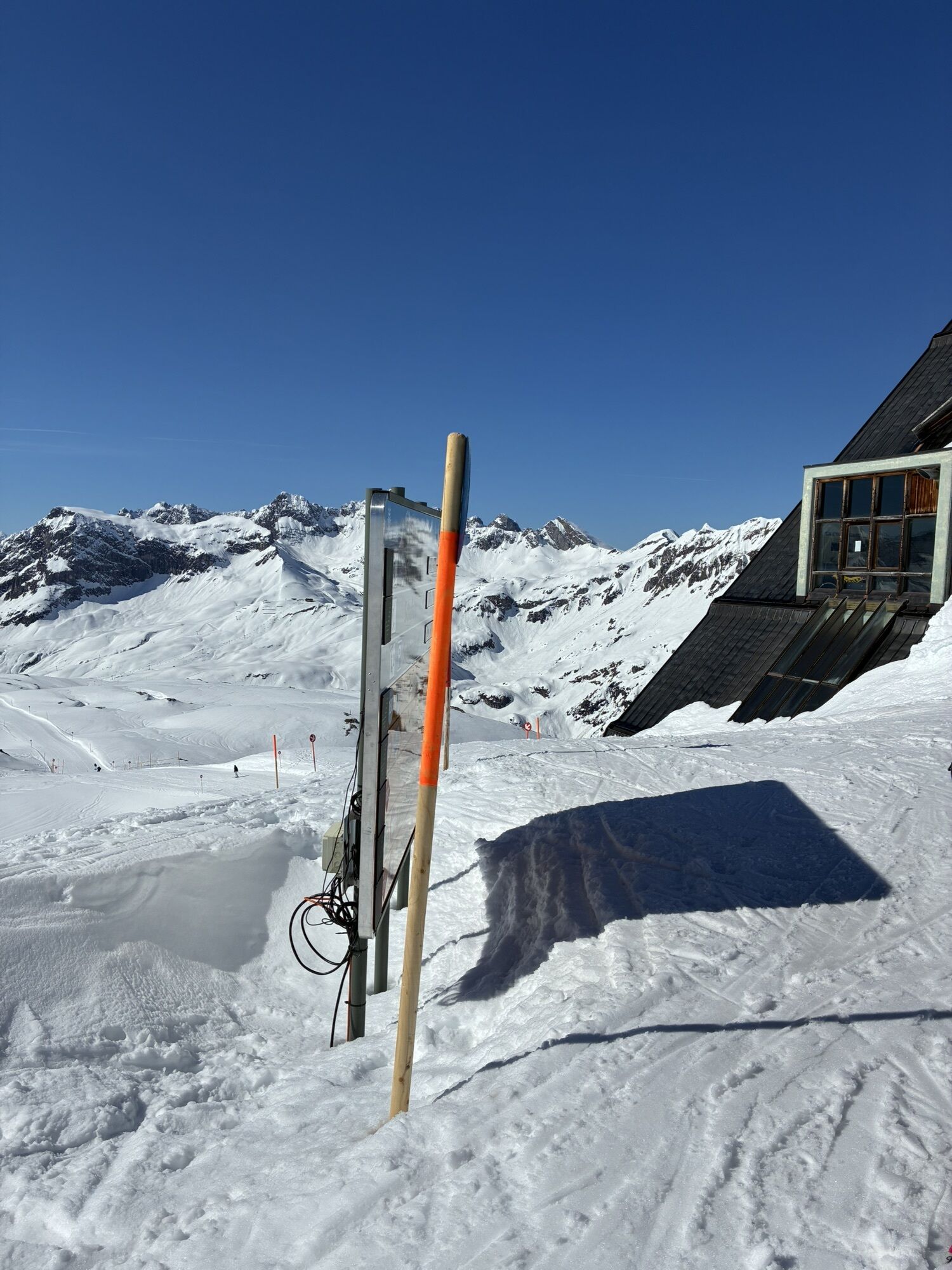
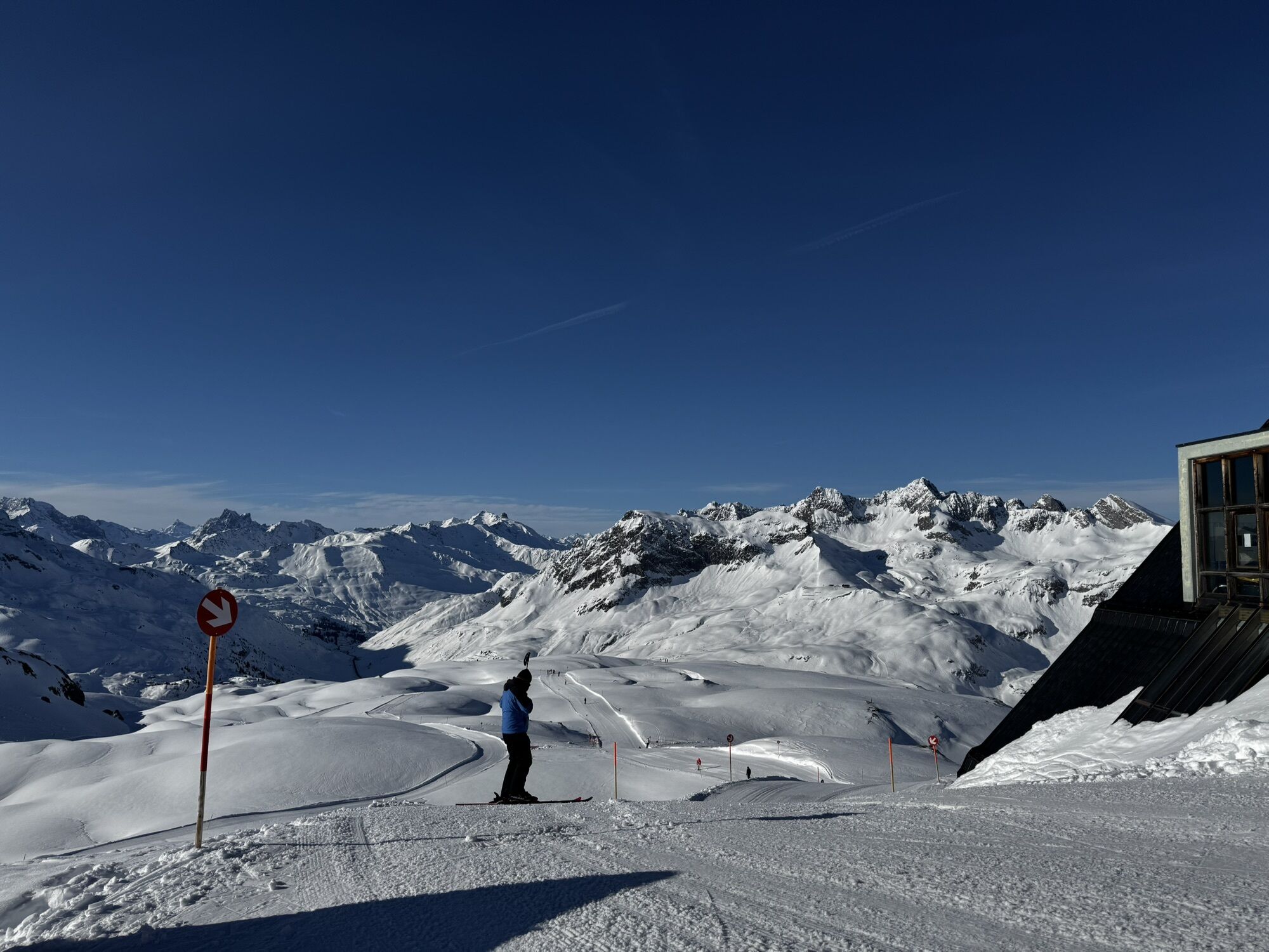
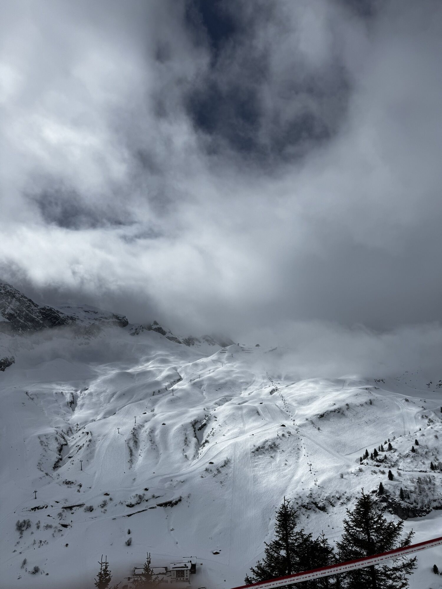
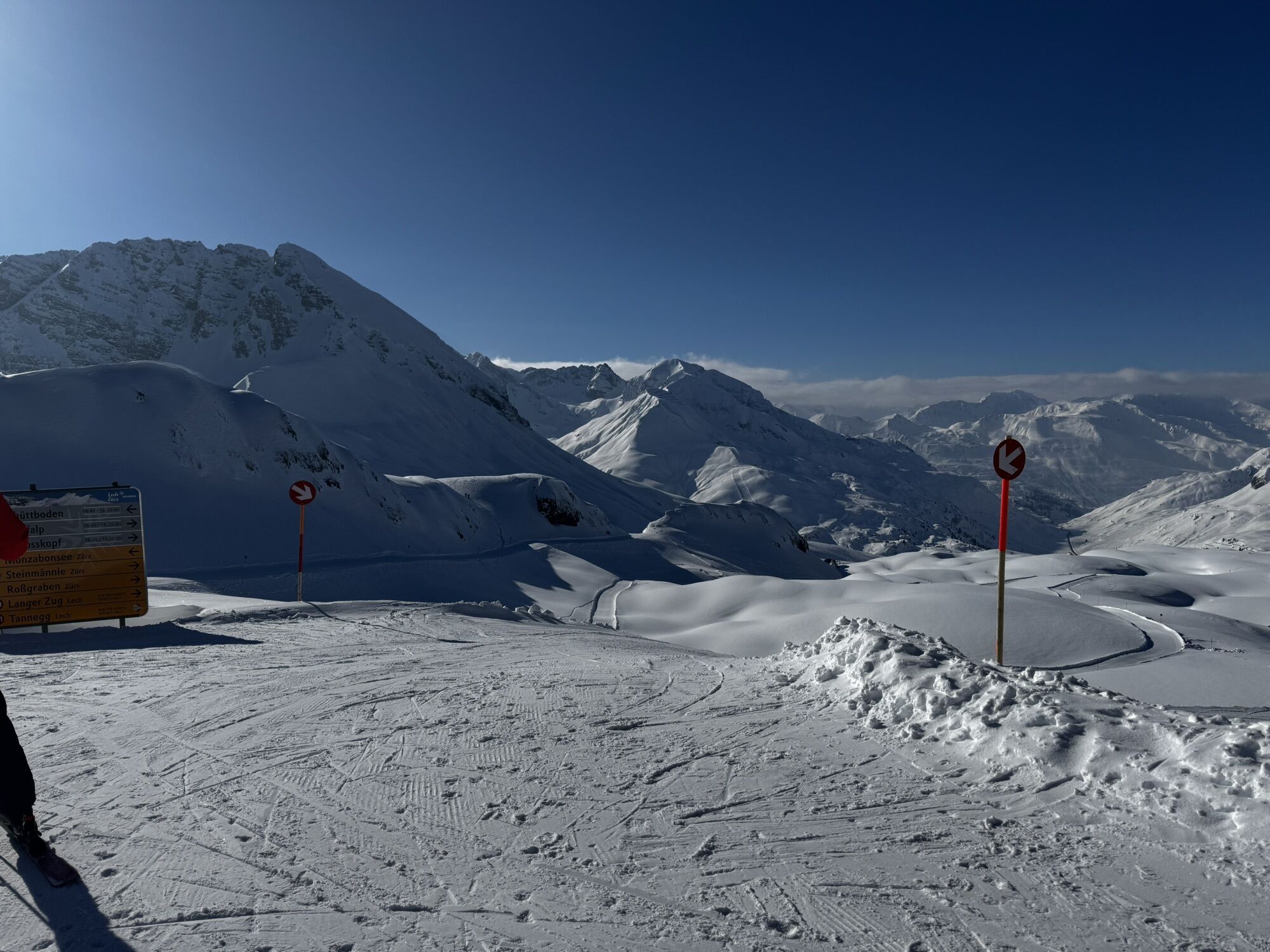
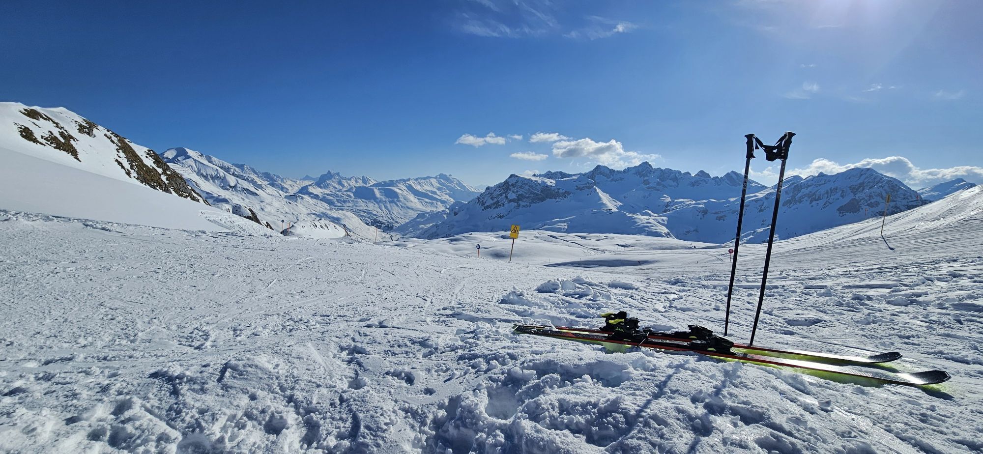
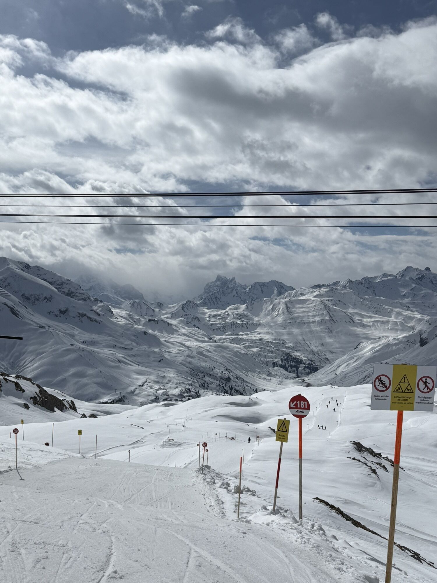
From the starting point Dorfhus you go to the Rüfikopf cable car and with the gondola directly up to the Rüfikopf. Now it goes the alp way down to the signpost, here you take the way left uphill on a yoke....
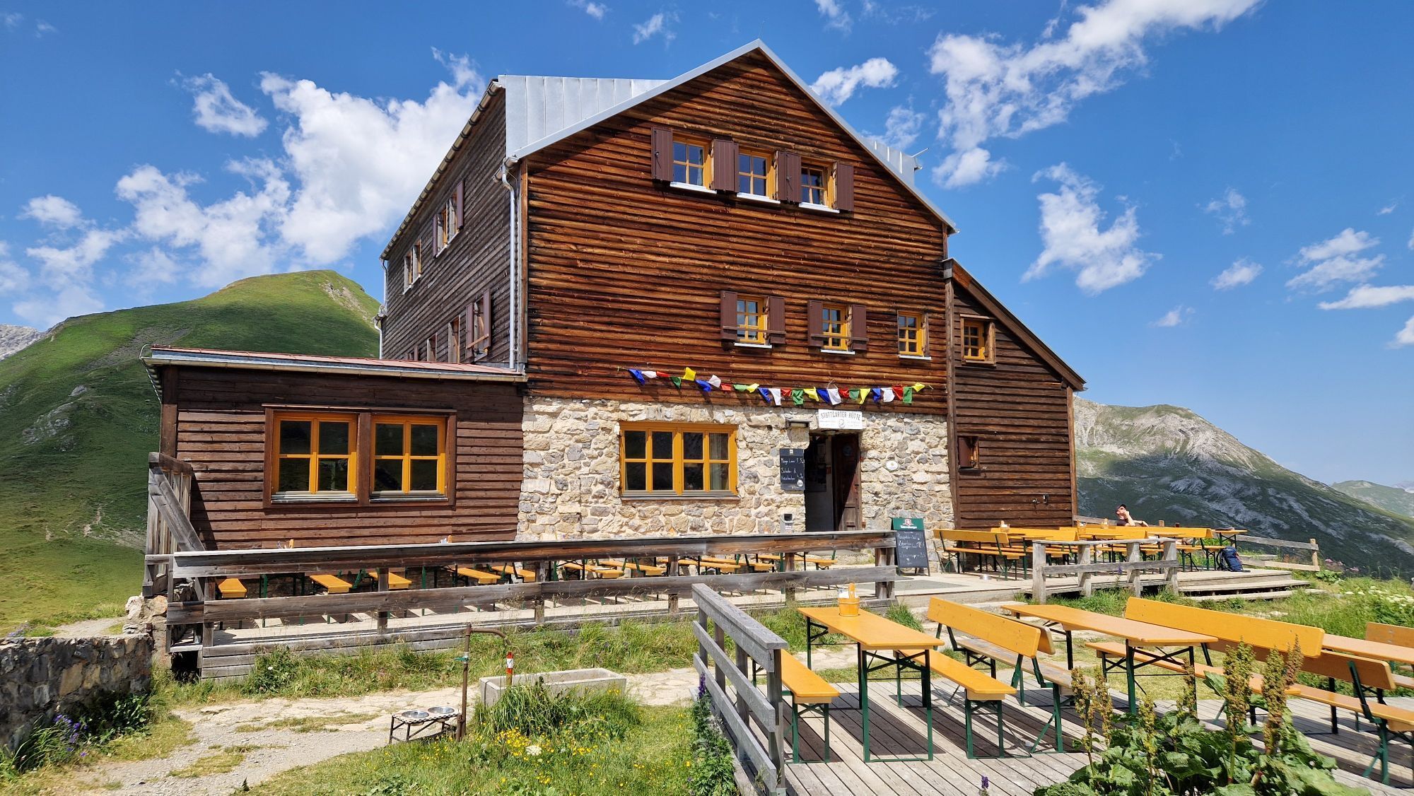
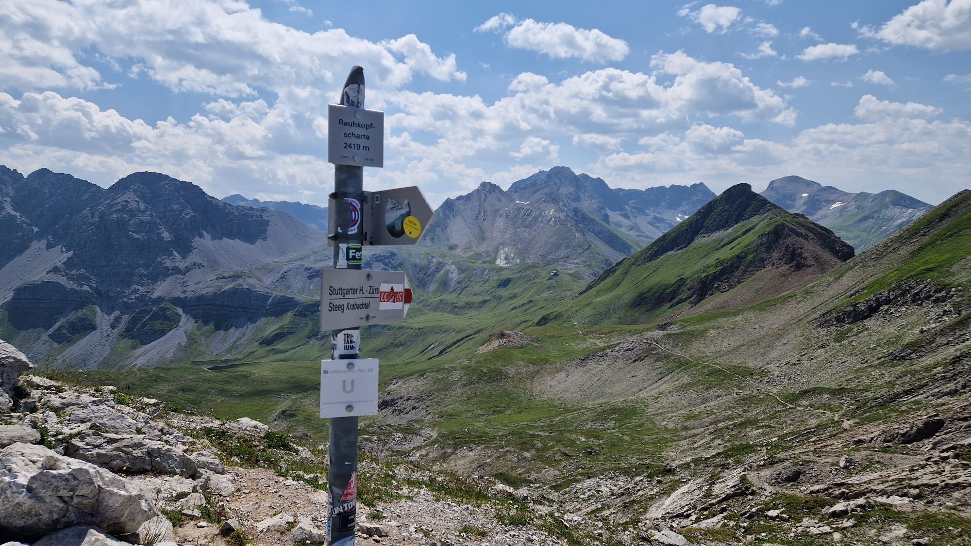
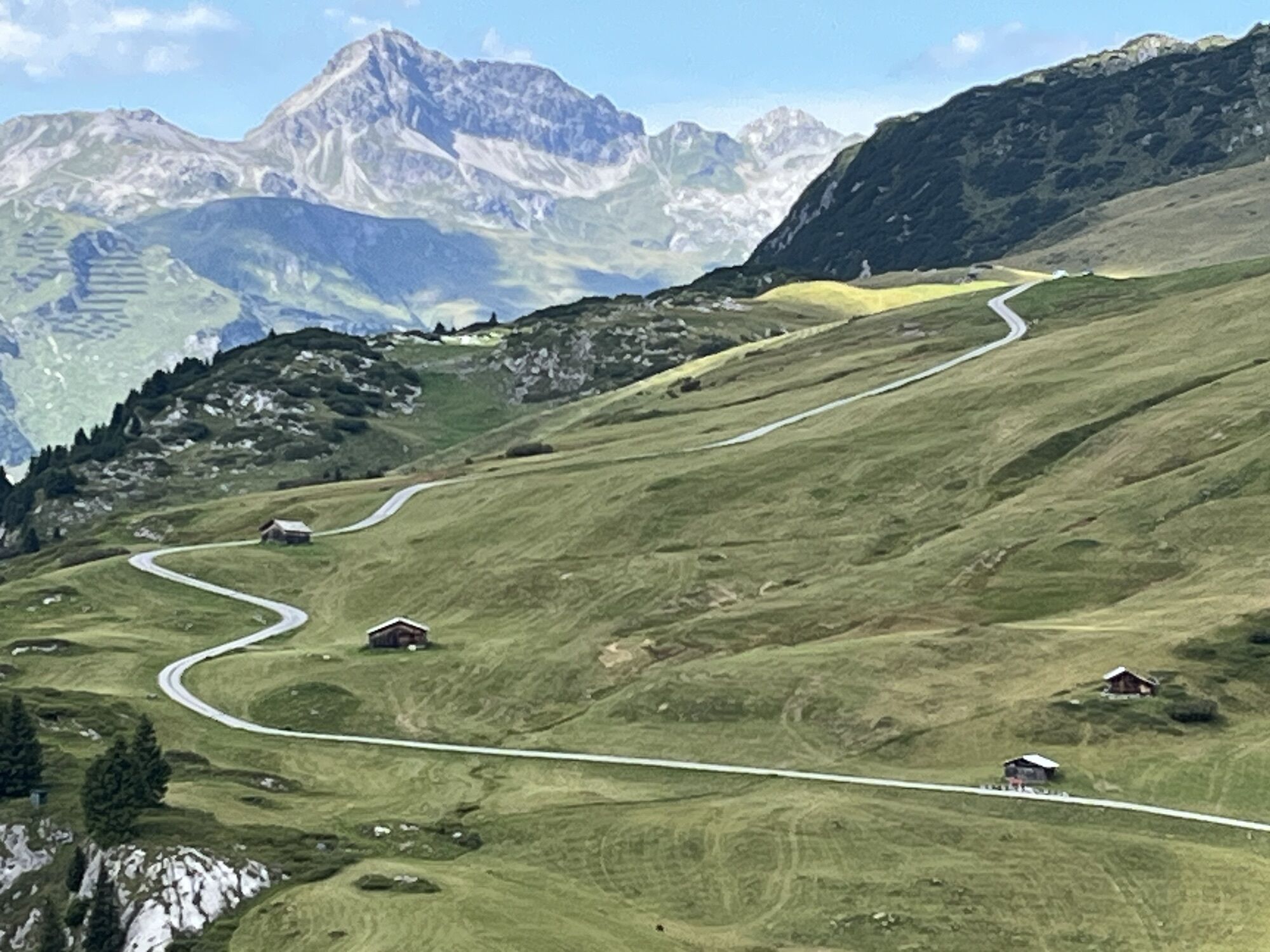
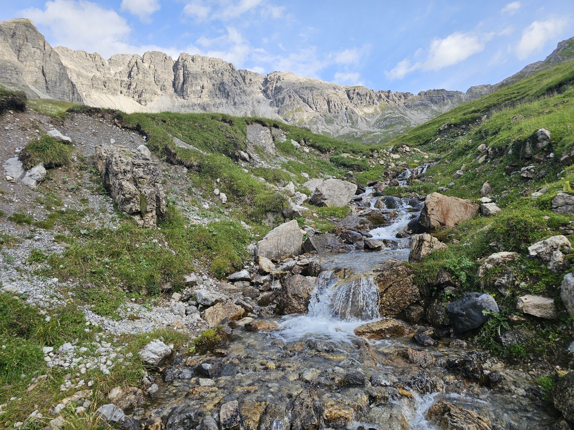
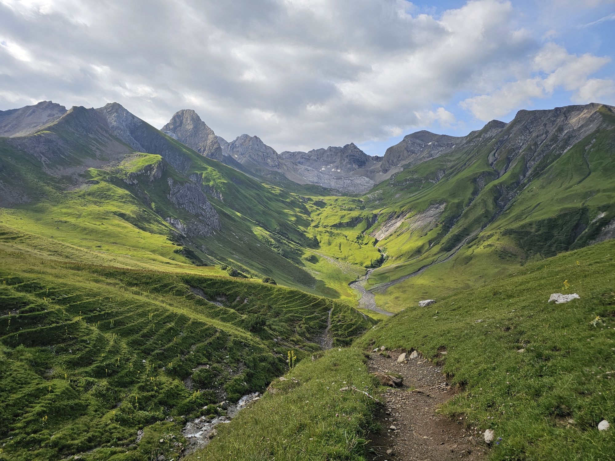
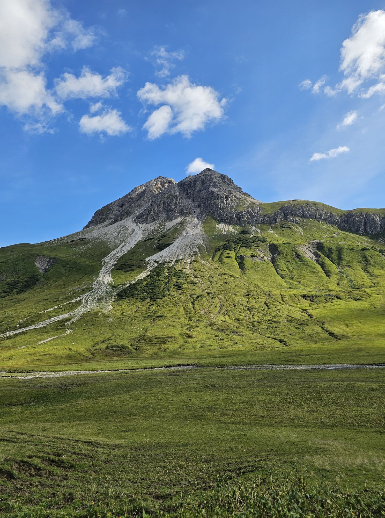
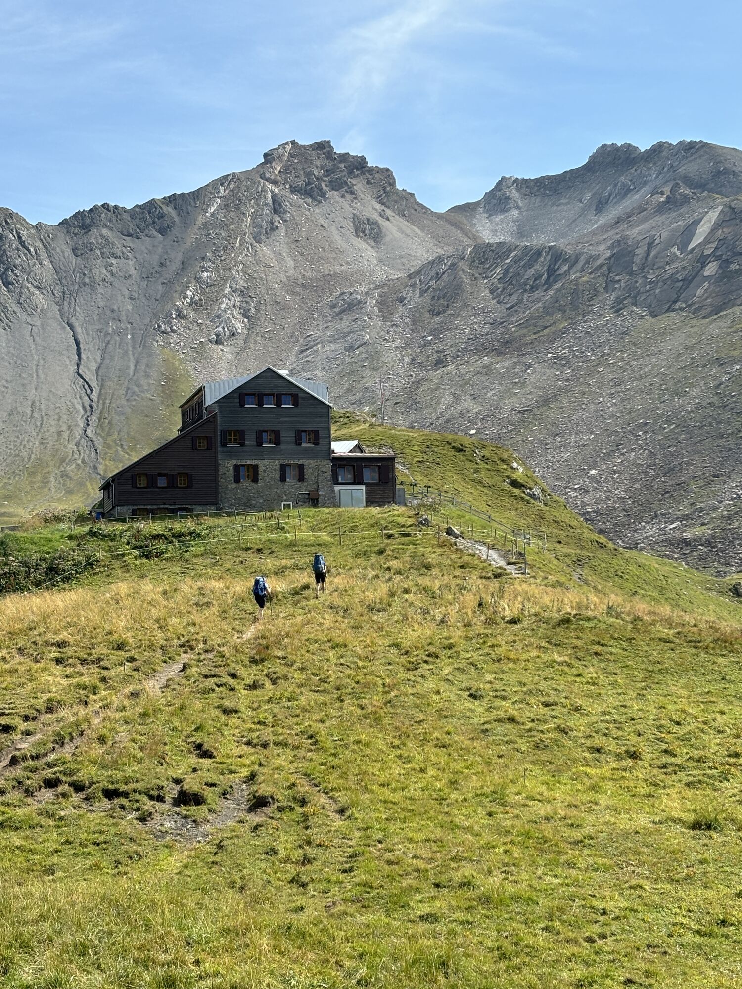
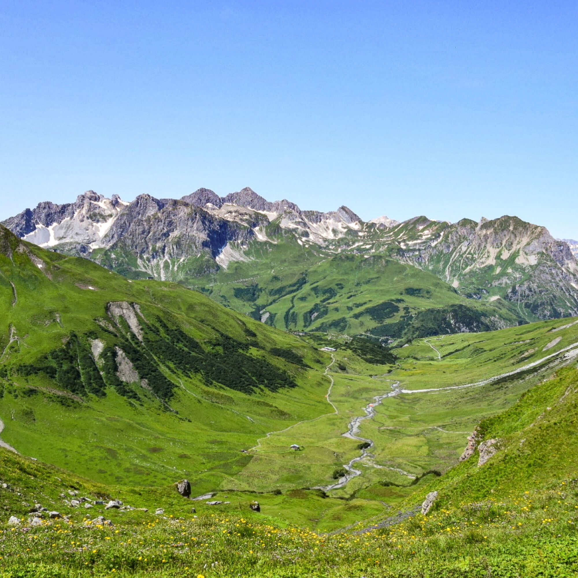
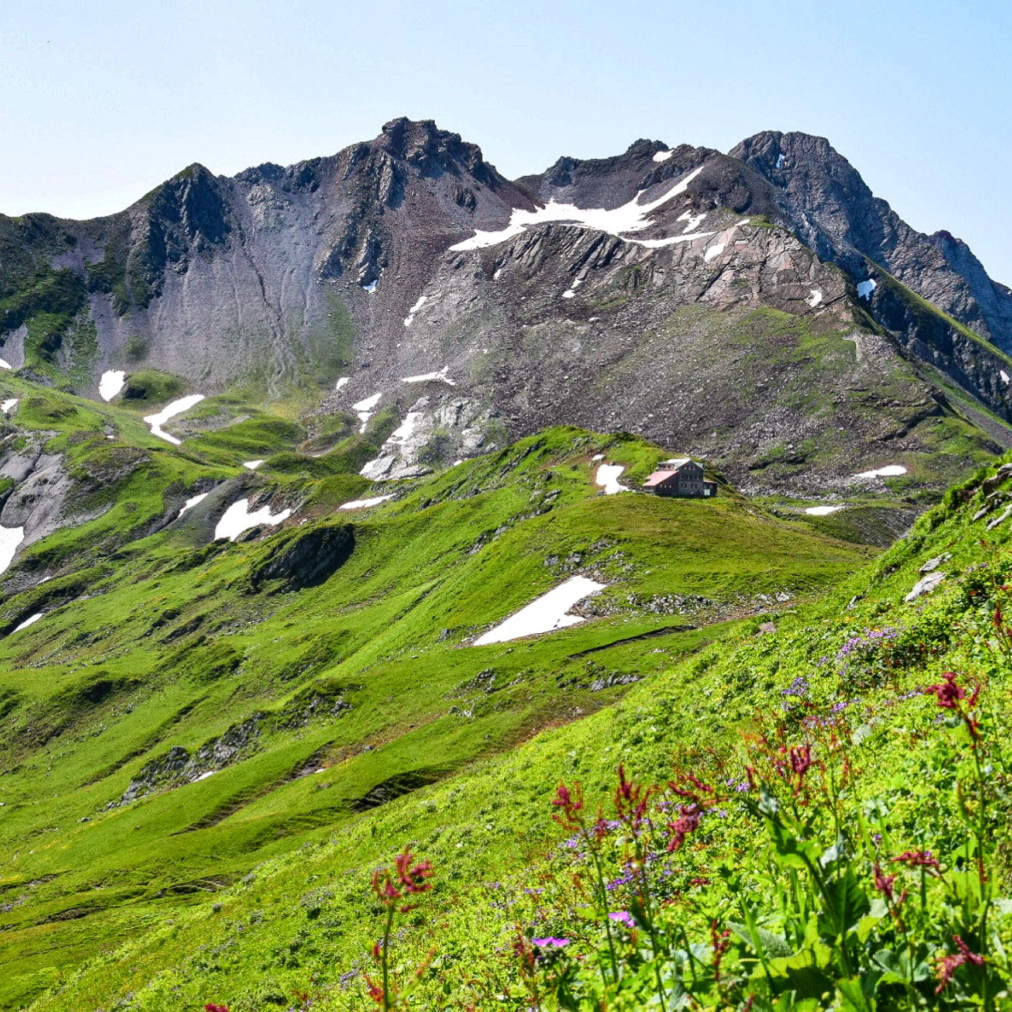
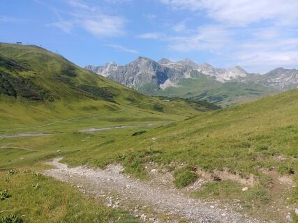
From the starting point Dorfhus you go to the Rüfikopf cable car and with the gondola directly up to the Rüfikopf. Now it goes the alp way down to the signpost, here you take the way left uphill on a yoke. Steep downhill to the Ochsengümpel. From here turn right until you reach the Rauhekopfscharte at a fork in the road on the right. You will reach the Stuttgarter Hütte, where you can stop and rest. Now you go downhill and reach the torrent and soon the Paziel valley. You continue to the Trittalpe and soon you reach a goods path that leads you downhill to Zürs. Continuing downhill past the mountain church you reach the main road from where the blue hiking bus takes you back to Lech.

Áno
Good footwear (ankle high, profile sole), rain protection, Lech Card and bus timetable.
140 Alpine Emergencies Austria-wide
144 Alpine Notfälle Vorarlberg
112 Euro emergency call (works with any mobile phone/network)
From Switzerland: Via the A13 motorway and the Feldkirch, Hohenems or Lustenau border crossing on the A14 motorway to Bludenz. Continue on the S16 until exit Lech Zürs am Arlberg. Follow the B197 up to Alpe Rauz, turn left here onto the B198 through Flexengalerie and over the Flexenpass to Lech Zürs am Arlberg.
From Austria: Via the Inntalautobahn A12 and then via the S16 to the exit St. Anton am Arlberg (Arlberg Pass). Follow the B197 first through St. Anton, then through St. Christoph and over the Arlbergpass to Alpe Rauz. Turn right here onto the B198, drive through Flexengalerie and over the Flexenpass to Lech Zürs am Arlberg.
You can either park your vehicle directly at your host’s property or use the Anger underground parking garage. The garage is located right in the town center, across from the Dorfhus Lech. The garage is open 24 hours a day. The service station is open from 8:00 AM to 5:00 PM. Cash payments are not accepted.
T2
Sights: Bergkirche Zürs – this mountain church is a religious building of several storeys towers above visitors like a castle. And, like a donjon, the three-storey tower symbolizes the significance of the church, which is additionally marked with a red cross.
Stuttgarter Hütte: The menu features both Austrian classics and Nepalese dishes.
Refreshment stops: Panorama restaurant Rüfikopf, Stuttgarter hut, Trittalpe, Hotel Enzian and restaurants in Lech am Arlberg.

Webové kamery z prehliadky
-
Valluga
-
Flühenlift
-
Oberlech
-
Zürs - Trittkopf Bergstation
-
Zürs - Seekopf
-
Lech am Arlberg - Hotel Goldener Berg Oberlech
-
Lech am Arlberg - Pension Bergland
-
Lech am Arlberg - Kriegerhornbahn
-
Lech am Arlberg - Sporthaus
-
Stuben am Arlberg - Ortsblick
-
Zug
-
Lech am Arlberg
-
Oberlech - Pension Bergland
-
Lech - Wöstersattel
-
Stuben
-
Schmelzhof
-
Chalet Anna Maria
-
Lech Rüfikopf
-
Haldenhof
Získajte prehľad
Vždy naživo na mieste s viac ako 9 500 webovými kamerami. bergfex Ako používateľ Pro si teraz môžete pozrieť príslušné webové kamery pre mnohé zájazdy v aplikácii zájazdy z. Môžete si tak priamo prezerať aktuálne podmienky.
Aktivity počas prehliadky
-

Lech, Vorarlberg/Österreich
29.08.2026 – Turistika -

Lech, Vorarlberg/Austria
27.08.2026 – Turistika -

Lech, Vorarlberg/Österreich
26.08.2026 – Turistika -

Steeg, Tirol/Österreich
23.08.2026 – Turistika -
Lech, Vorarlberg/Österreich
19.08.2026 – Turistika -
Lech, Vorarlberg/Österreich
12.08.2026 – Turistika -
Stuttgarter Hütte
01.08.2026 – Turistika -
Lech, Vorarlberg/Österreich
30.07.2026 – Turistika -
Zürs, Vorarlberg/Österreich
21.06.2026 – Turistika -

Zürs, Vorarlberg/Österreich
19.06.2026 – Turistika
Obľúbené výlety v okolí
-
4,9
Holzgau zur Rossgumpenalm
strednáTuristika 4,09 km -
4,7
Widderstein Runde von Baad
strednáTuristika 15,8 km -
4,8
Circular hike through the Gemsteltal
svetloTuristika 5,53 km -
4,3
Circular hike through the Bärgunttal
strednáTuristika 4,75 km -
4,8
Biberkopf
ťažkéTuristika 7,70 km -
4,9
Sulzalm
strednáTuristika 9,17 km -
4,1
Stuben - Stubner See - Kaltenberghütte - Stuben
strednáTuristika 9,90 km -
4,8
Braunarlspitze
ťažkéTuristika 16,6 km -
4,2
St Anton zur Darmstädter Hütte
ťažkéMountainbike 28,4 km -
4,8
Mountain route to the Fiderepass hut
ťažkéTuristika 12,8 km
Turistika a stopovanie


Nenechajte si ujsť ponuky a inšpiráciu na ďalšiu dovolenku
Vaša e-mailová adresa bol pridaný do poštového zoznamu.





