


Schruns via Kropfen and forest path to Kapell
The hiking trail is very suitable for families and children, as it is mainly located in the forest. Partly, the path follows a small creek. At the mountain station, Hugo's colorful mountain world for children...
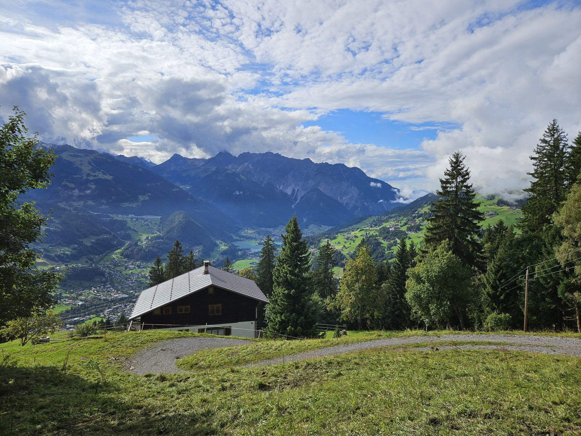
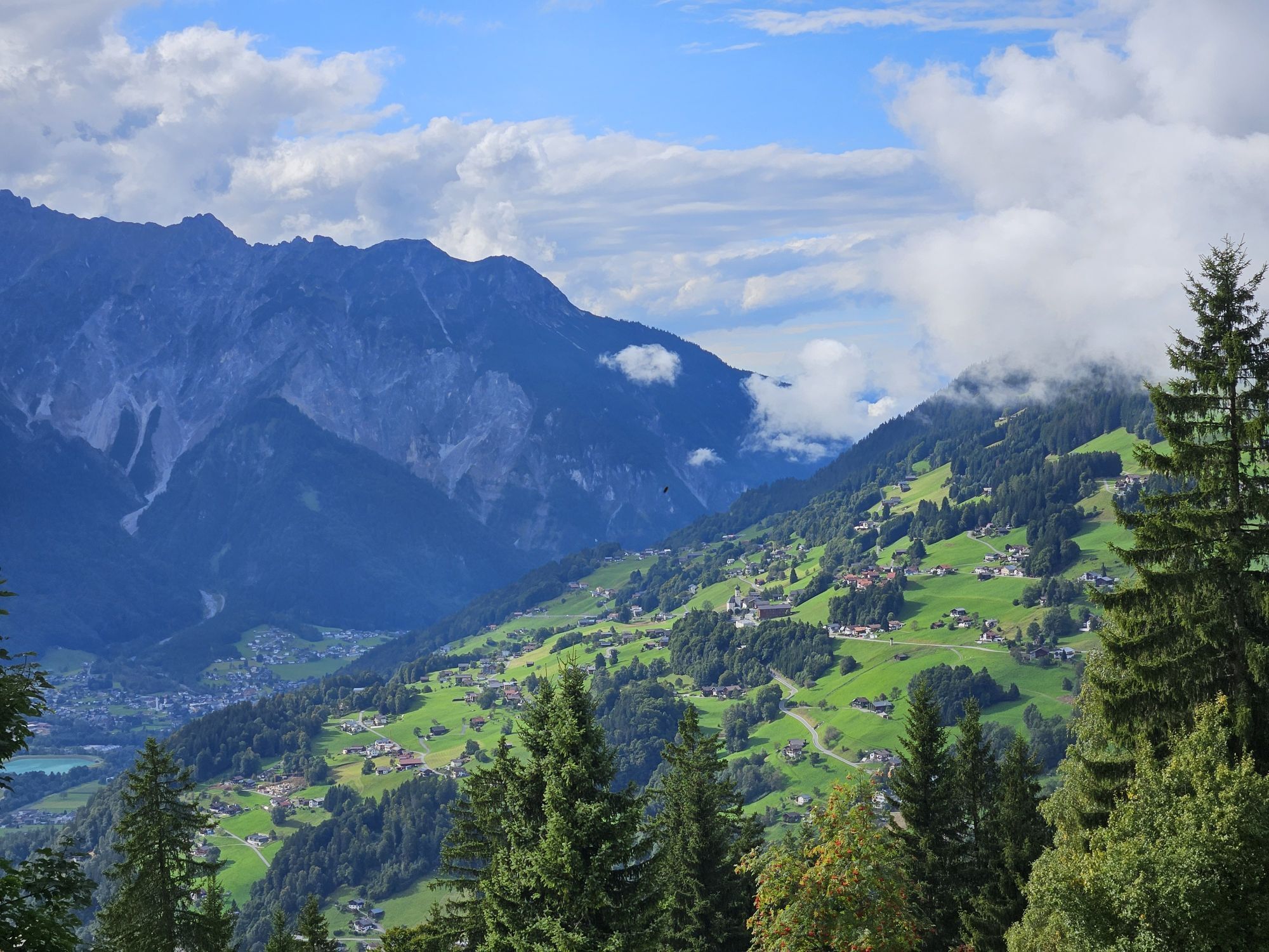
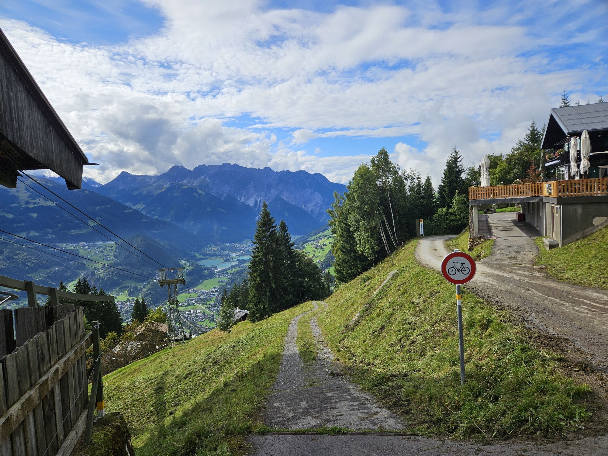
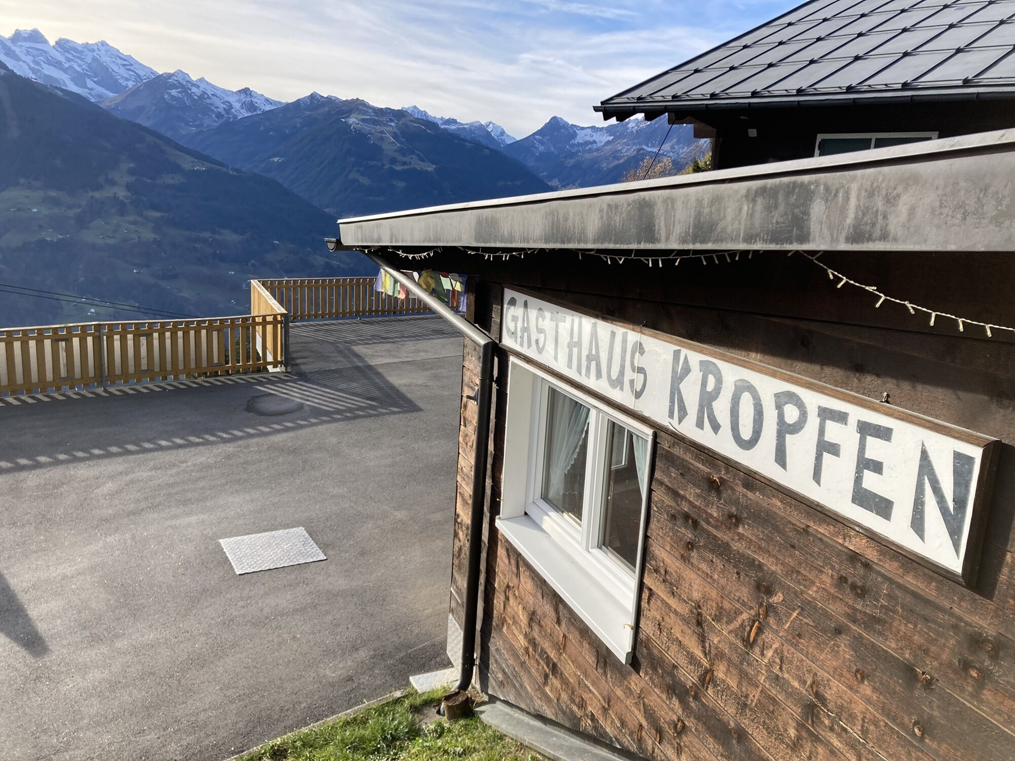
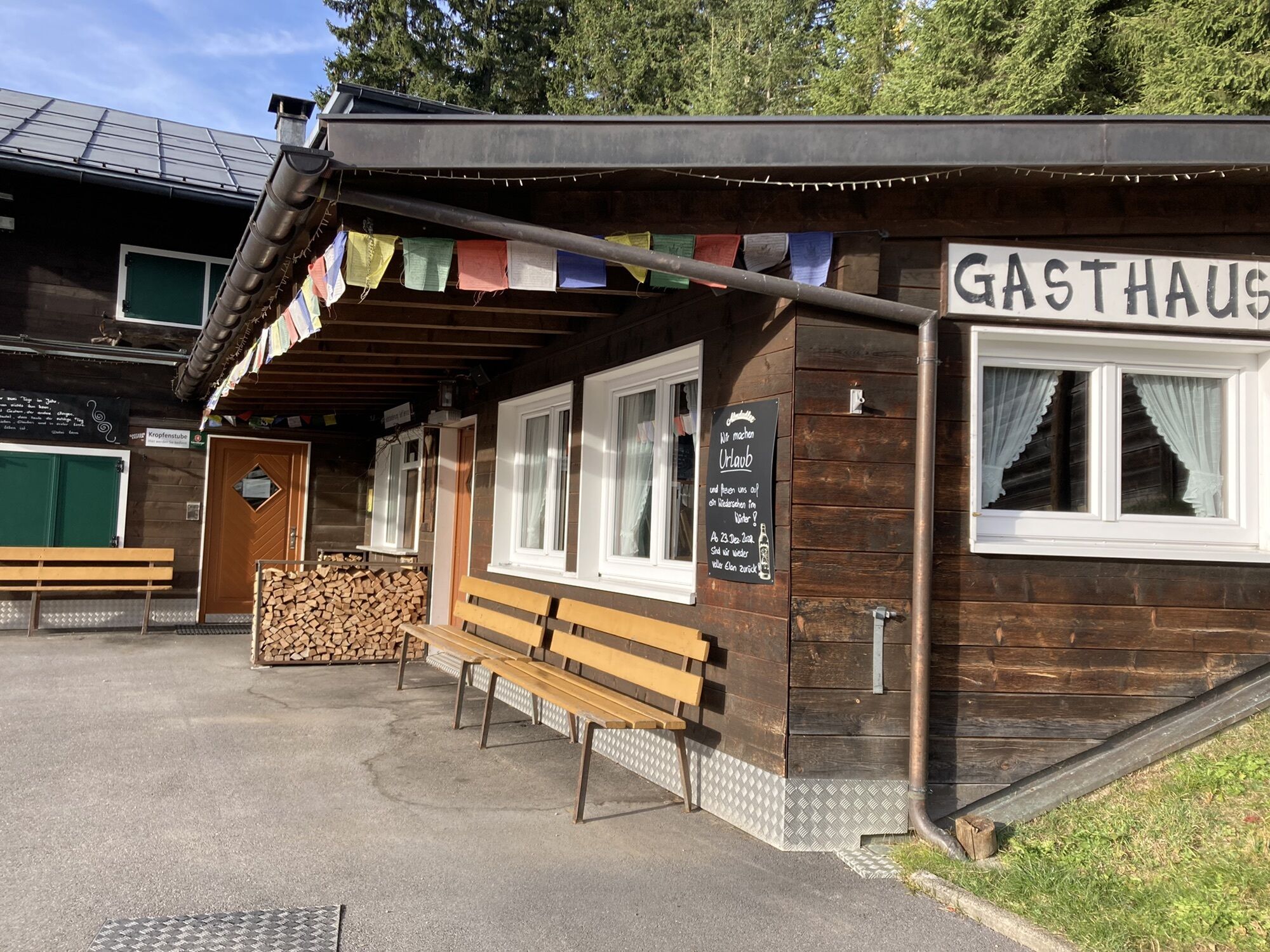
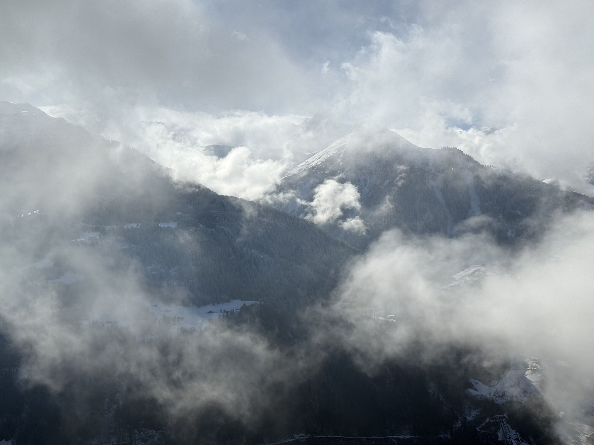
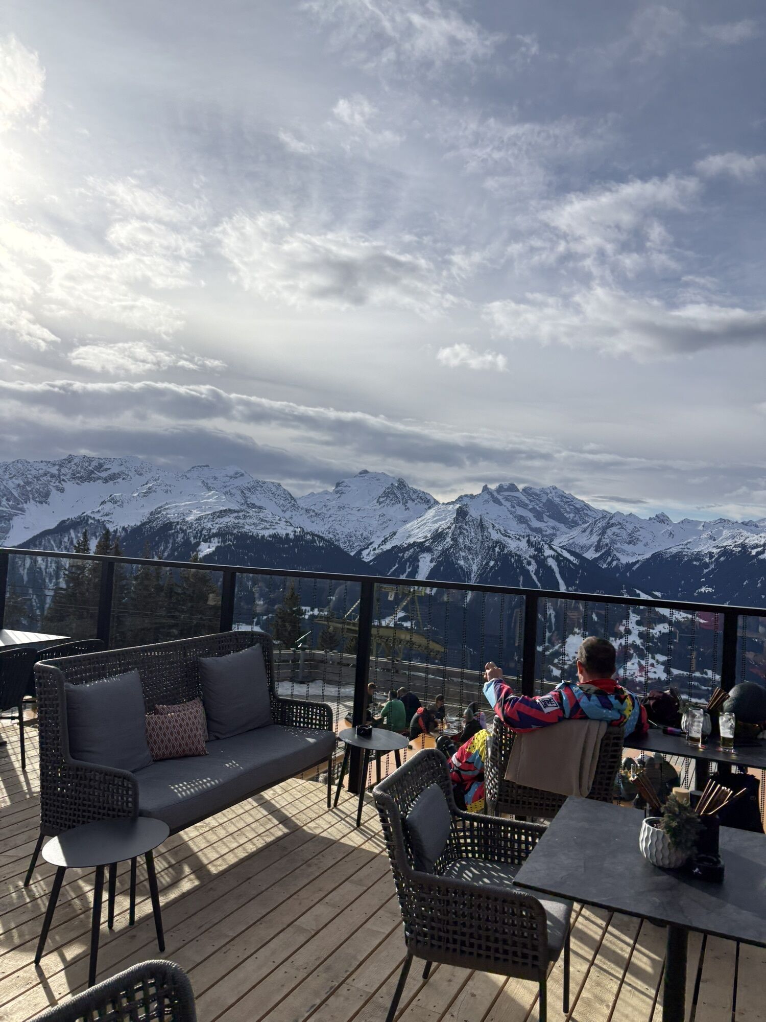
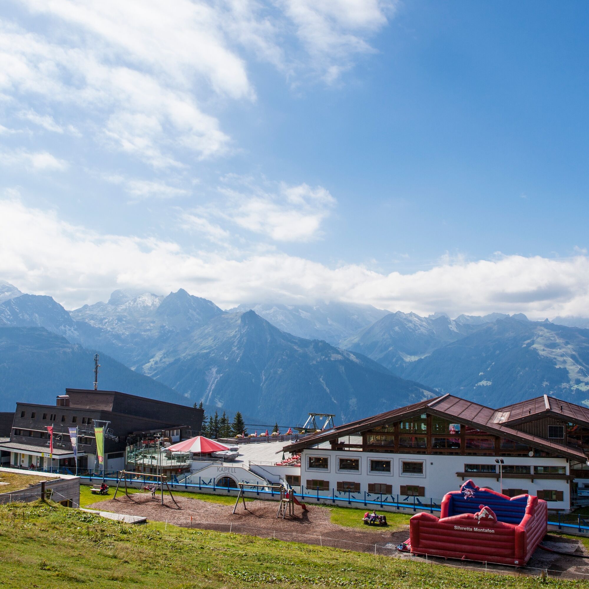
The hiking trail is very suitable for families and children, as it is mainly located in the forest. Partly, the path follows a small creek. At the mountain station, Hugo's colorful mountain world for children is available, as well as another playground at the Kropfen inn at the middle station. The Kapellrestaurant offers a large panoramic terrace with a fantastic view of the surrounding mountain landscape. (Observe the Hochjoch Bahn opening times)

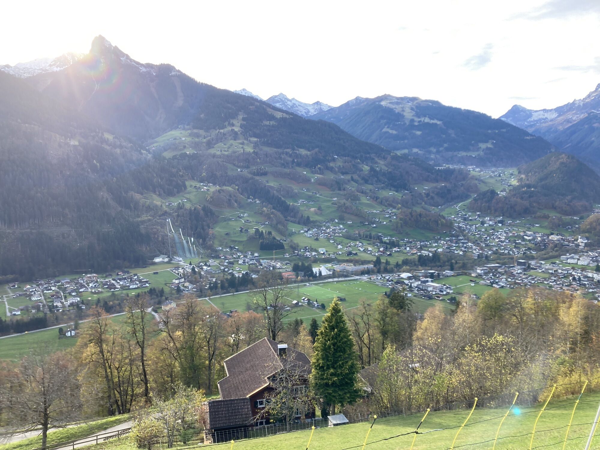
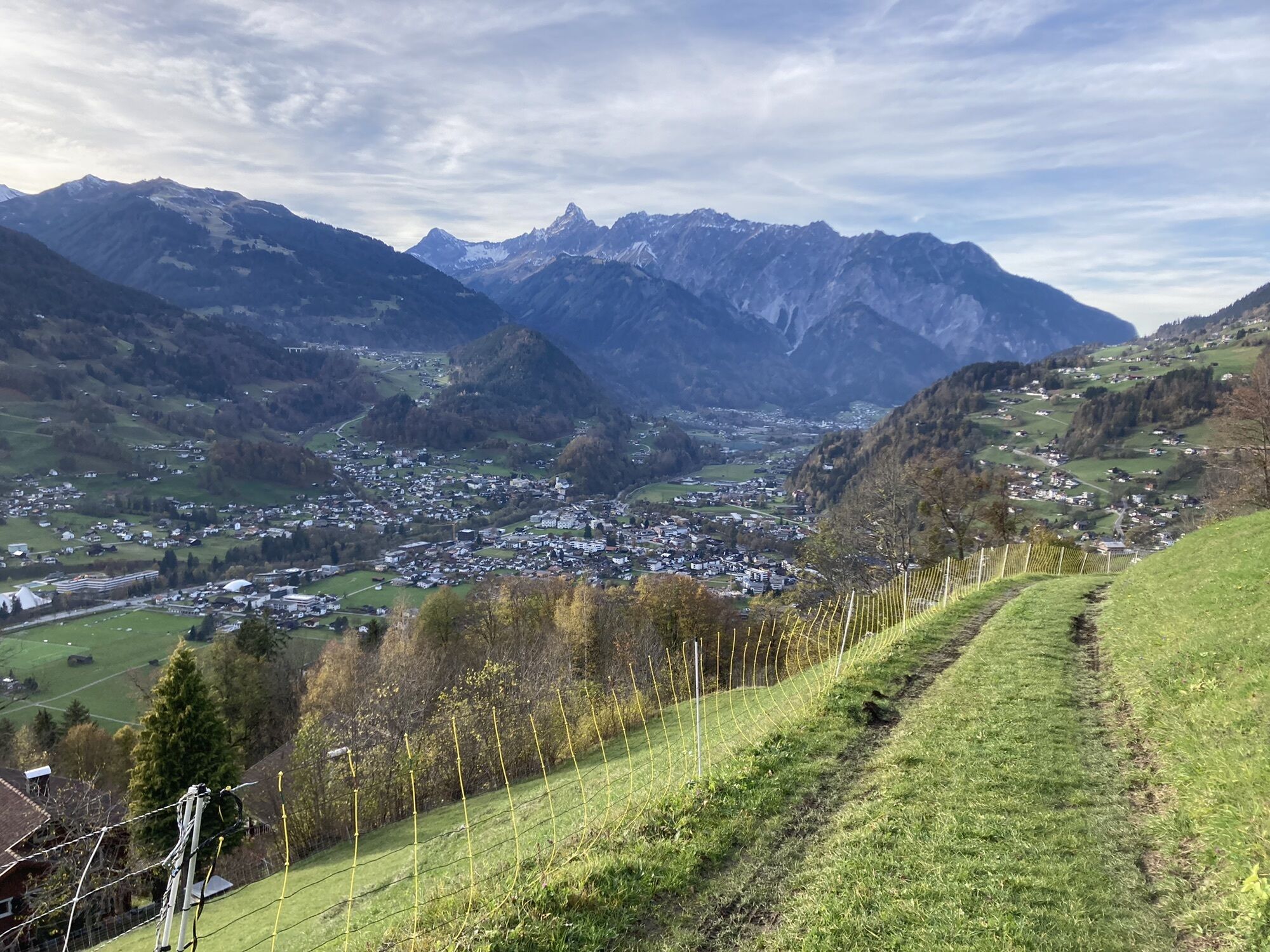
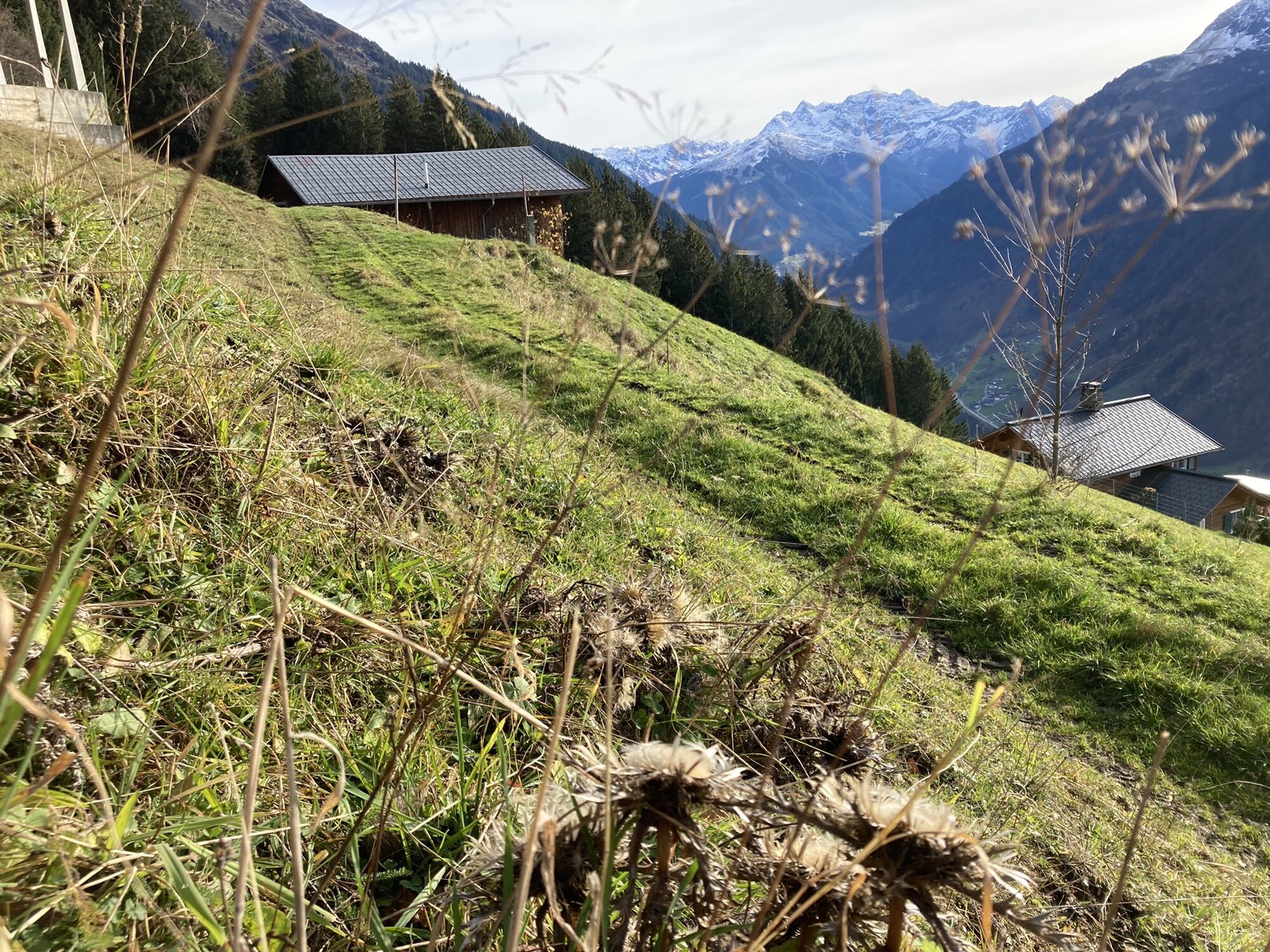
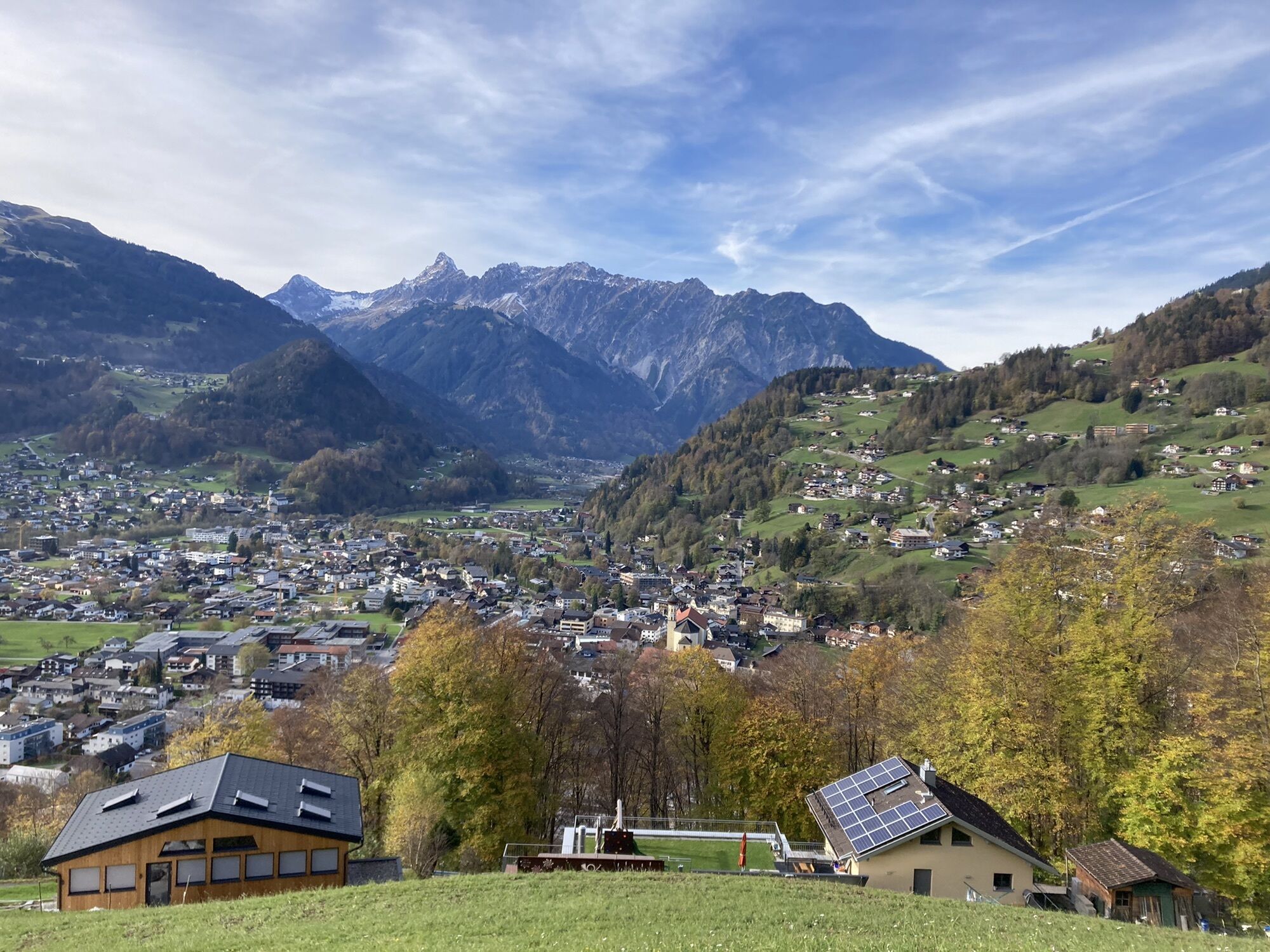
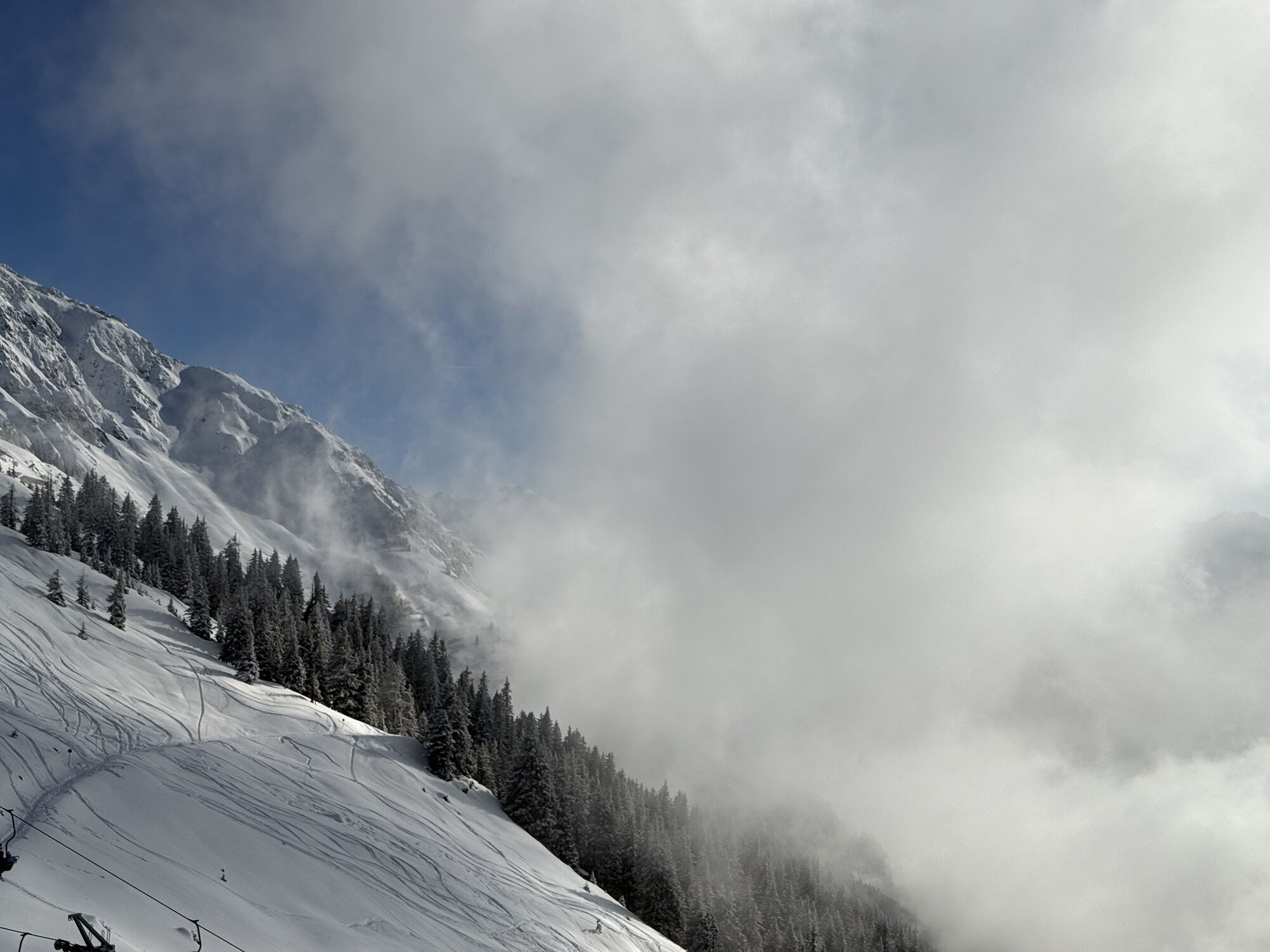
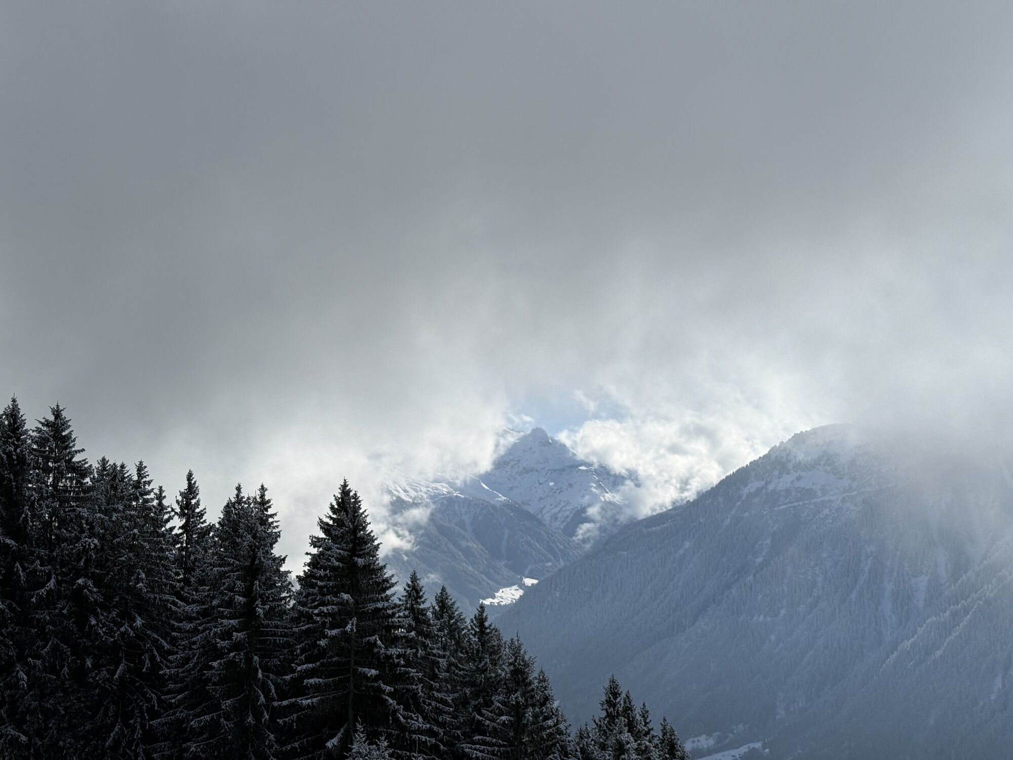
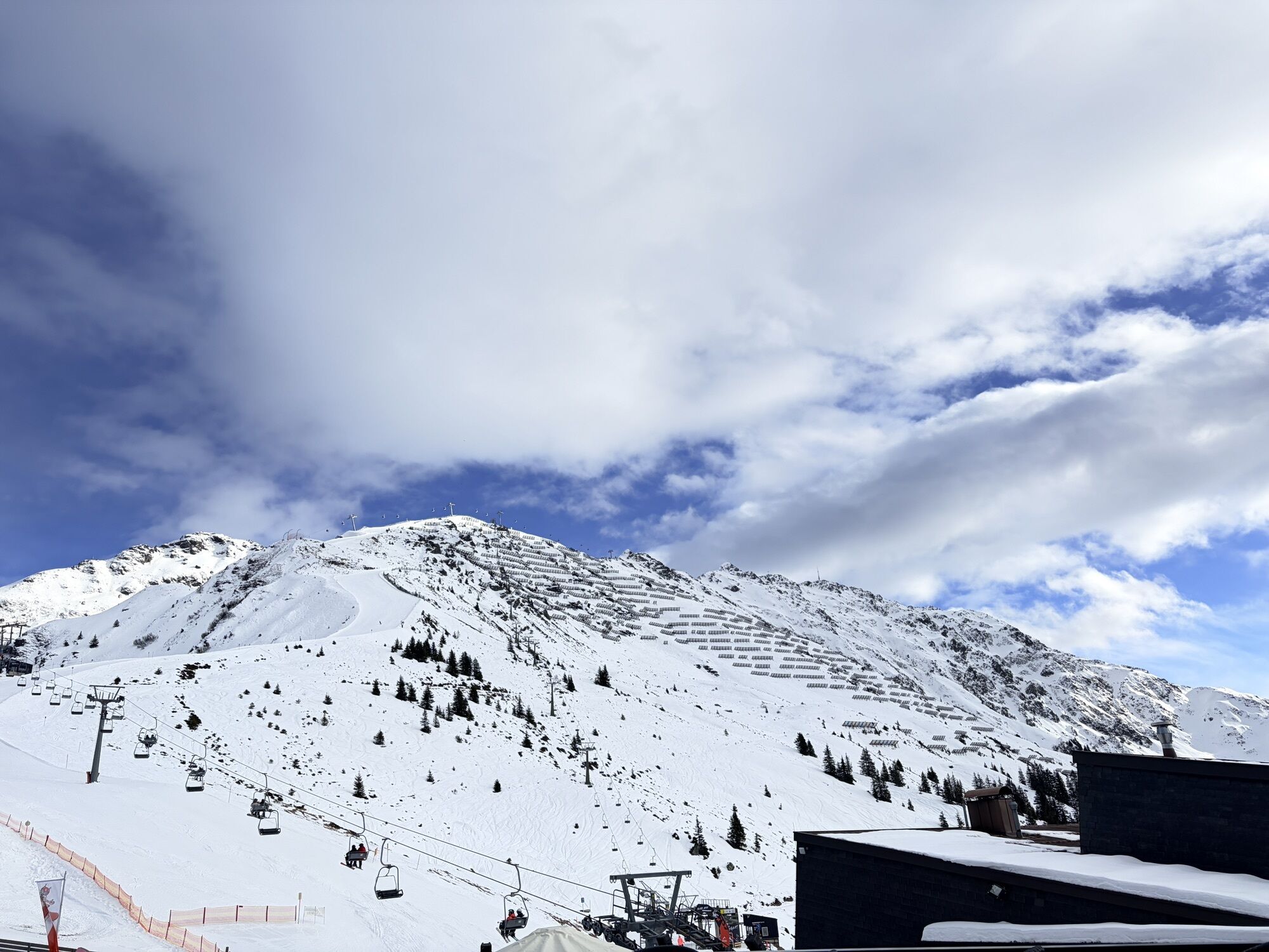
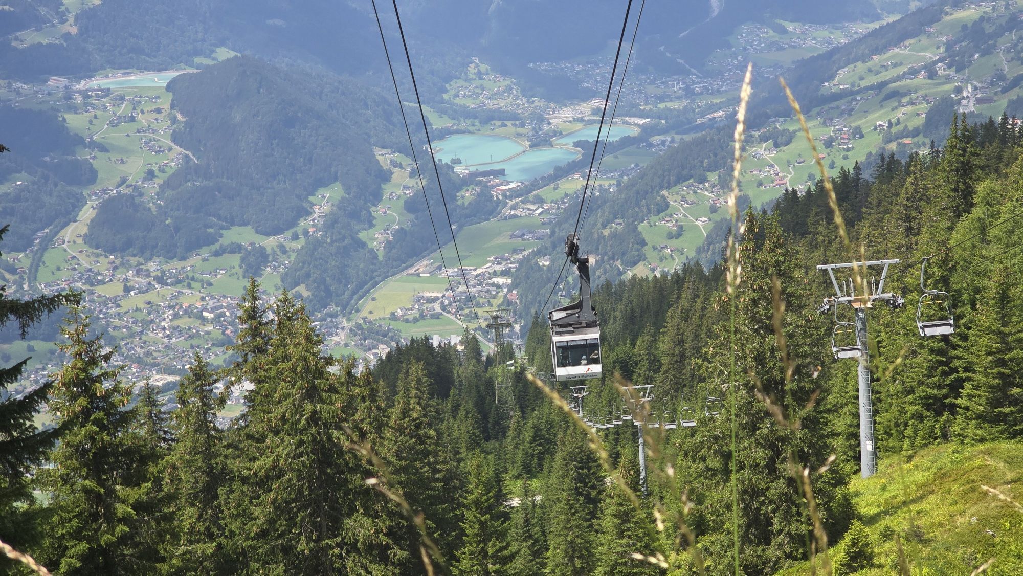
The hike starts in the center of Schruns and leads between the town hall and Hypobank past the parish hall and mini golf course to the valley station of the Hochjoch Bahn. Then follow Bergbahnstraße and the cemetery wall to its end. At the fountain, turn left and follow the narrow path uphill to Hofweg. Then cross the paved road and follow the signs towards Kropfen. Up to Kropfen (middle station of the Hochjoch Bahn), sections alternate between paved road and narrow meadow paths. At the Kropfen inn, you can take a break and enjoy the wonderful view of the surrounding mountains. Refreshed and strengthened, continue further. The last altitude meters are made via the "Waldwegli" uphill to the Kapellrestaurant (mountain station Hochjoch Bahn). A narrow mountain hiking trail runs mostly through forest sections. On one section, a small creek will accompany you. Return by the Hochjoch Bahn back to the valley.
Áno
Hiking shoes with good tread, hiking poles recommended
EMERGENCY CALL: 144
European emergency number: 112 (works with any mobile/ network)
www.vorarlberg.travel/sicherheitstipps
Drive on the A14 to the Bludenz/Montafon exit and continue on Montafonerstraße L188 to Schruns.
Just leave your car standing
The regional buses operate throughout Montafon. The main lines run every half hour from Schruns station.
Bus stop at the start/finish of the route: Schruns station / s4 (Montafonerbahn), line 601, line 602, line 603, line 640, line 650, line 670, line 680
Timetable: www.vmobil.at
Getting to Montafon by train
From Bludenz station, the Montafonerbahn runs hourly (partly every half hour). There are also direct connections from Lindau (D) and Bregenz.
Timetable: www.oebb.at
Parking is available directly at the valley station of the Hochjoch Bahn or in the center of Schruns
Webové kamery z prehliadky
-
Hochjoch Bahn Bergstation
-
Montafoner Kristbergbahn Bergstation
-
Panoramagasthof Kristberg
-
Panoramagasthof Kristberg
-
Kristberglift mit St. Agatha Kirche
-
Kinderland Skischule Silbertal
-
Matschwitz Mittelstation
-
Bergstation Hochalpila Bahn
-
Silbertal Dorf
-
Innerberg
-
Golm - Matschwitz
-
Silvretta-Montafon - Panorama Bahn
-
Bartholomäberg
-
Bartholomäberg
-
Tschagguns
-
Schruns
-
Bartholomäberg - Ferienhotel Fernblick
-
Wormserhütte
-
Wormserhütte
-
Kapellbahn
-
Schlepplift Innerbach
-
Bartholomäberg
-
Bartholomäberg - Ferienhotel Fernblick
-
Bartholomäberg - Ferienhotel Fernblick
-
Bartholomäberg - Ferienhotel Fernblick
Obľúbené výlety v okolí
-
5,0
Ski tour to the Lindauer Hut (1,744 m)
svetloSkitour 14,0 km -
4,7
Smuggler’s path
strednáTematická trasa 8,60 km -
5,0
Bürs, Bürserschlucht Bürs, Vorarlberg
strednáTuristika 5,31 km -
4,4
Golm-Rundwanderweg im Rätikon
strednáTematická trasa 7,28 km -
4,7
Over the historic mine and Fritzensee to Rellseck
strednáTuristika 7,25 km -
4,2
Golmerbahn Bergstaion Grüneck - Golmer Höhenweg - Geißspitze - Lindauer Hütte - Latschau
strednáTuristika 11,5 km -
4,4
Madrisella summit path
strednáTematická trasa 10,8 km -
5,0
Douglasshütte, Lünersee, Gafalljoch Brand bei Bludenz, Vorarlberg
svetloTuristika 9,16 km -
4,6
Kristberg - Wasserstubental - Silbertal
svetloTuristika 13,8 km -
3,0
Bergstation Grüneck Golmerbahn - Alpe Latschätz - Lindauer Hütte - Latschau
svetloTuristika 11,1 km
Turistika a stopovanie


Nenechajte si ujsť ponuky a inšpiráciu na ďalšiu dovolenku
Vaša e-mailová adresa bol pridaný do poštového zoznamu.