


Hiking through the Schwarzwassertal via Melköde to the Schwarzwasserhütte
Úroveň náročnosti: T2
Fotografie našich používateľov
-
 © Meini 04Vytvorené dňa 02.10.2025
 -

 © AnbutzertVytvorené dňa 29.09.2025
 -
 © Tim KrompVytvorené dňa 30.08.2025
 -
 © Tim KrompVytvorené dňa 30.08.2025
 -
 © Tim KrompVytvorené dňa 30.08.2025
 -
 © Tim KrompVytvorené dňa 30.08.2025
 -
 © Silver SurferVytvorené dňa 29.07.2025
 -
 © Silver SurferVytvorené dňa 29.07.2025
 -
 © Silver SurferVytvorené dňa 29.07.2025
 -
 © Silver SurferVytvorené dňa 29.07.2025
 -
 © Sabrina HackelVytvorené dňa 31.05.2025
 -
 © Sabrina HackelVytvorené dňa 31.05.2025
 -
 © Sabrina HackelVytvorené dňa 31.05.2025
 -
 © Sabrina HackelVytvorené dňa 31.05.2025
 -
 © Sabrina HackelVytvorené dňa 31.05.2025
 -
 © Sabrina HackelVytvorené dňa 31.05.2025
 -
 © Sabrina HackelVytvorené dňa 31.05.2025
 -
 © Sabrina HackelVytvorené dňa 31.05.2025
 -
 © Raik StrassasVytvorené dňa 10.06.2024
 -
 © Raik StrassasVytvorené dňa 10.06.2024
 -
 © Raik StrassasVytvorené dňa 10.06.2024
 -
 © Raik StrassasVytvorené dňa 10.06.2024
 -
 © Raik StrassasVytvorené dňa 10.06.2024
 -
 © Raik StrassasVytvorené dňa 10.06.2024
 -
 © Raik StrassasVytvorené dňa 10.06.2024
 -
 © Raik StrassasVytvorené dňa 10.06.2024
 -
 © Raik StrassasVytvorené dňa 10.06.2024
 -
 © Raik StrassasVytvorené dňa 10.06.2024
 -
 © Hiltrud JungVytvorené dňa 24.02.2023
 -
 © Hiltrud JungVytvorené dňa 24.02.2023
 -
 © Siegfried GnirsVytvorené dňa 26.08.2025

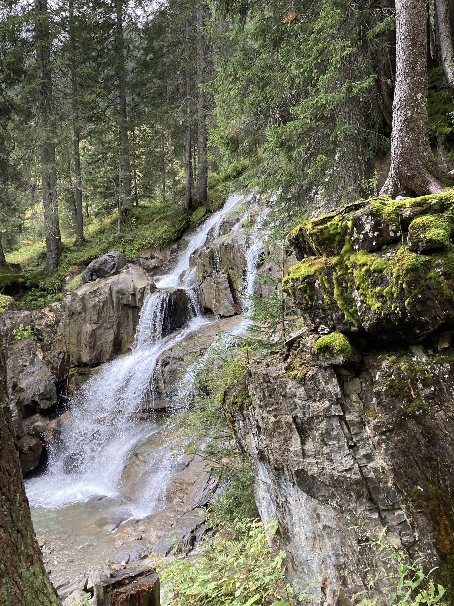
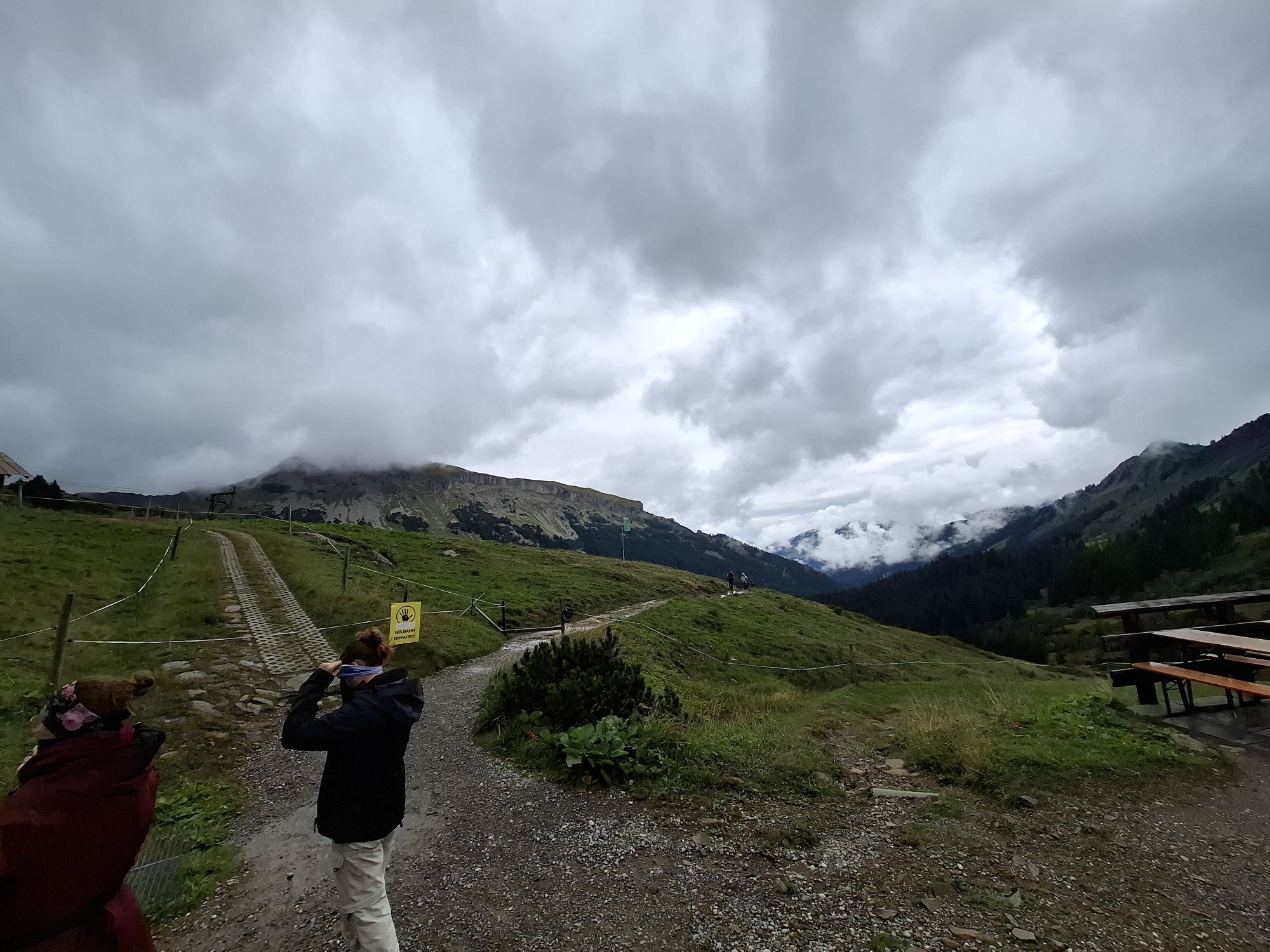
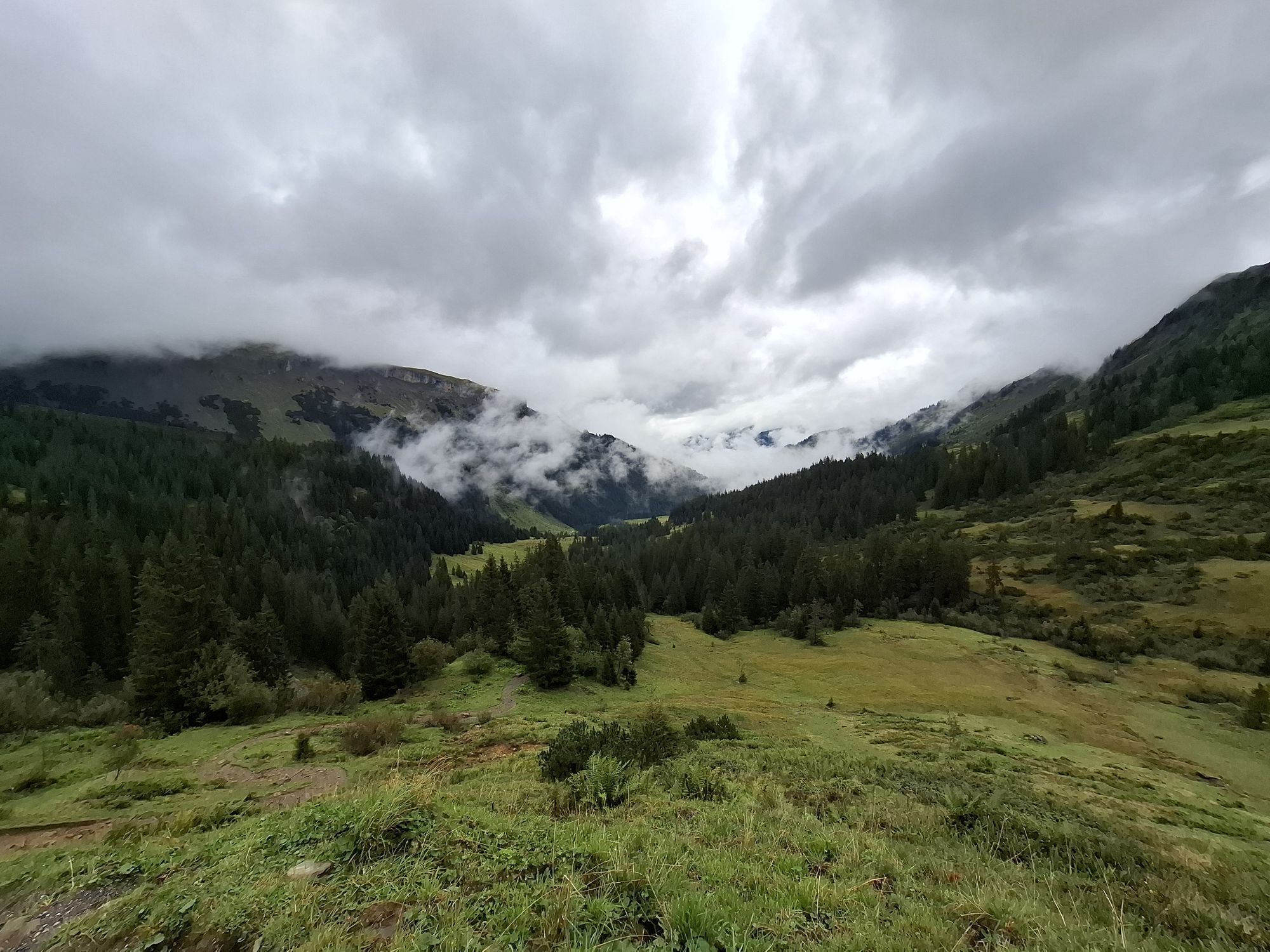
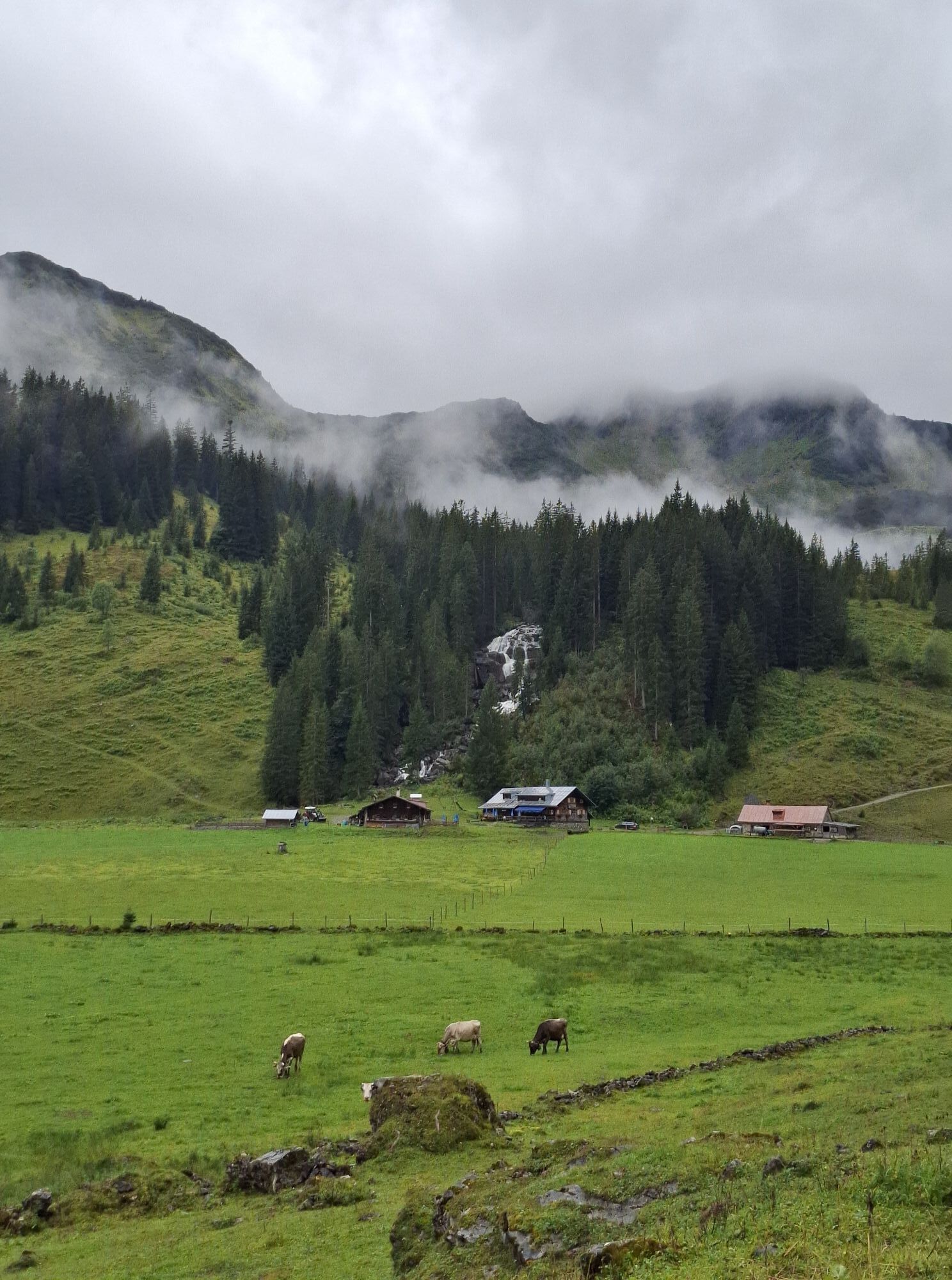
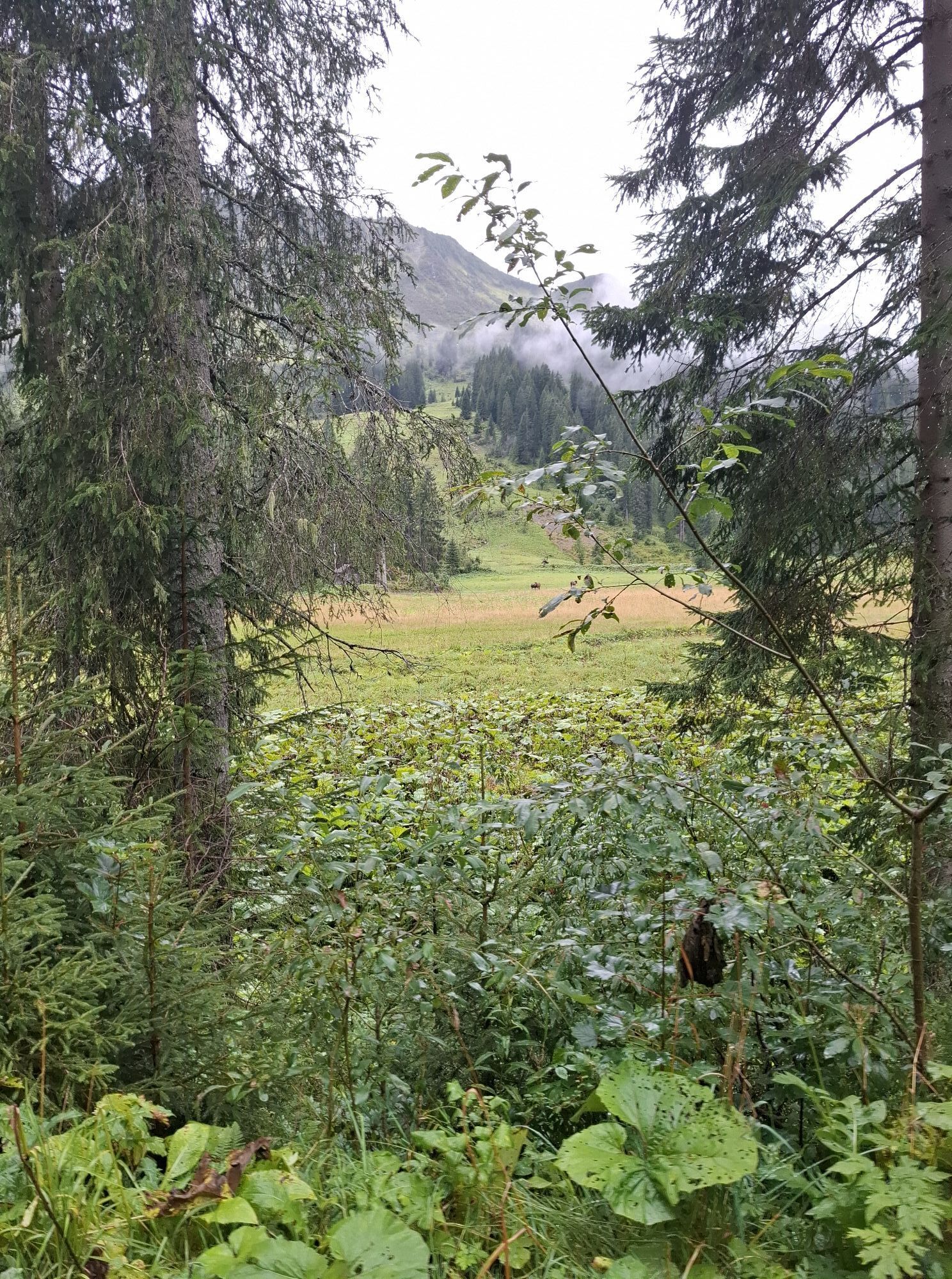
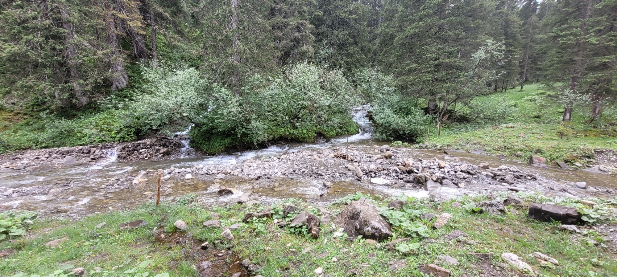
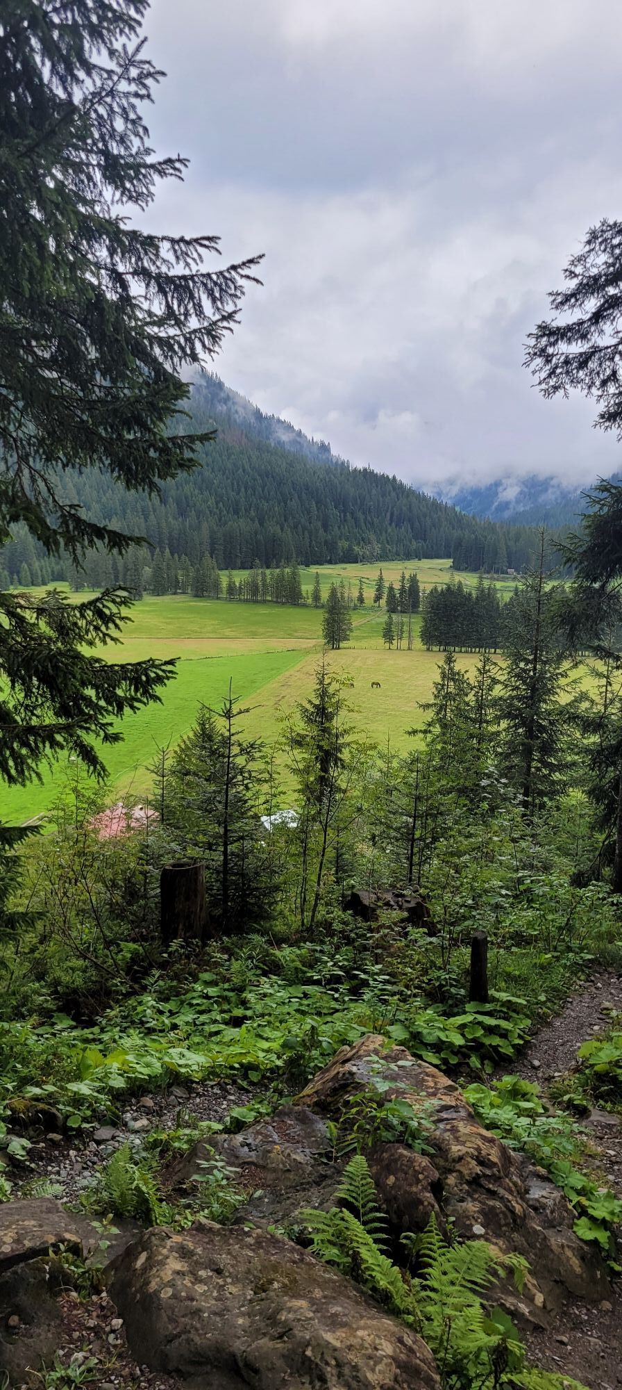
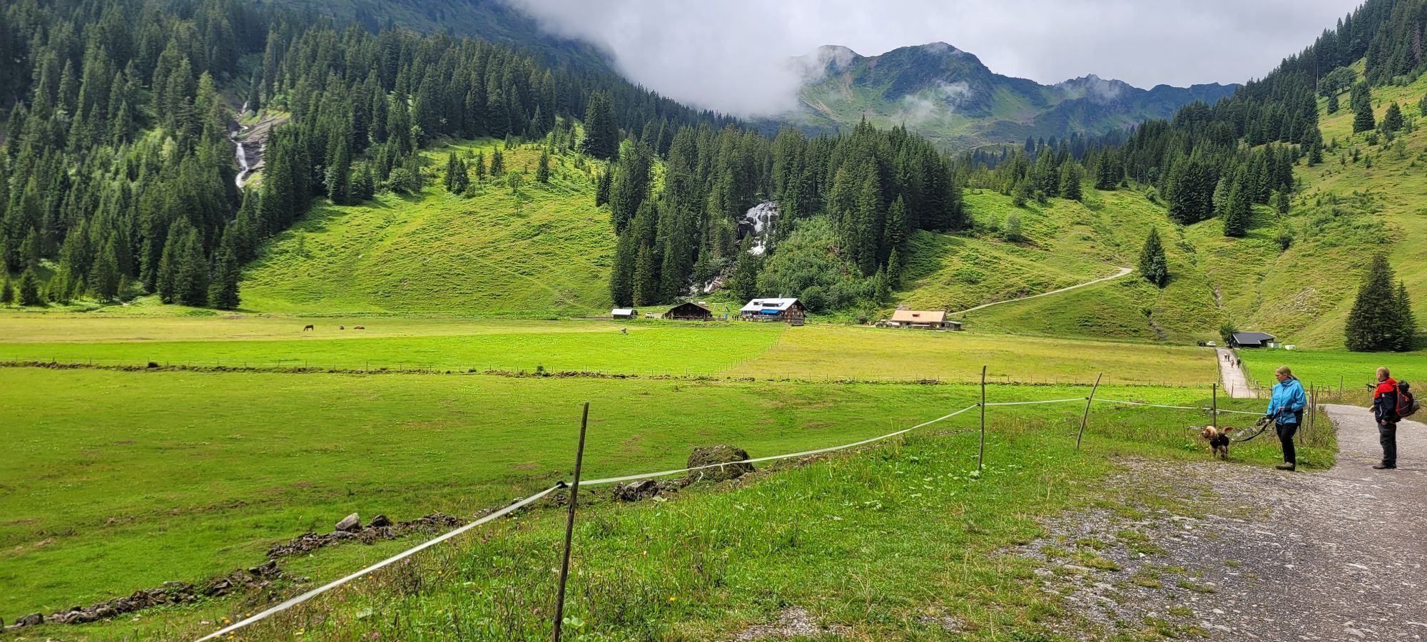


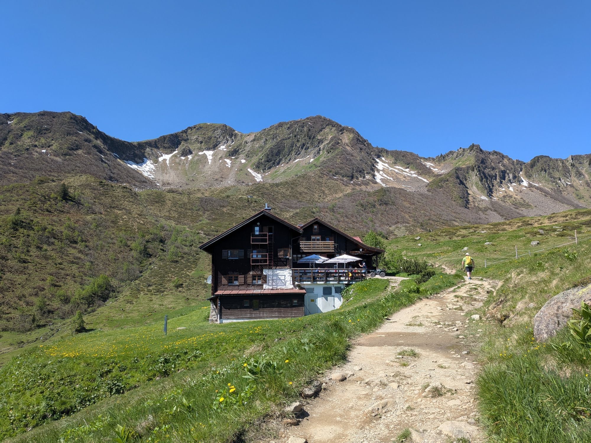


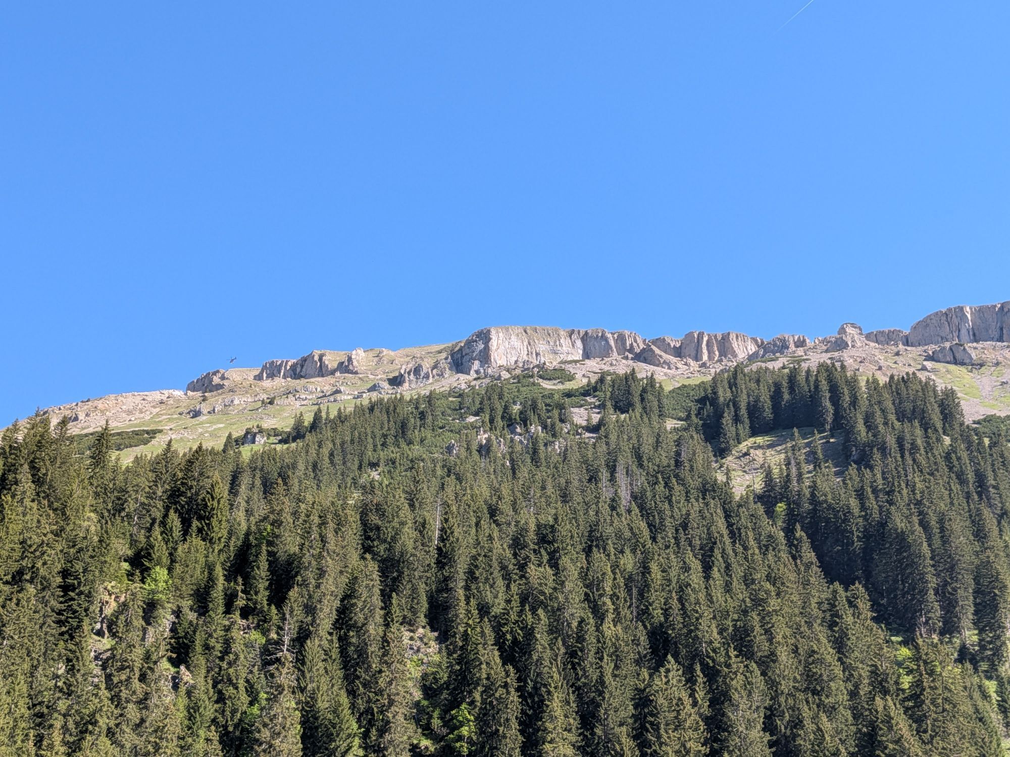
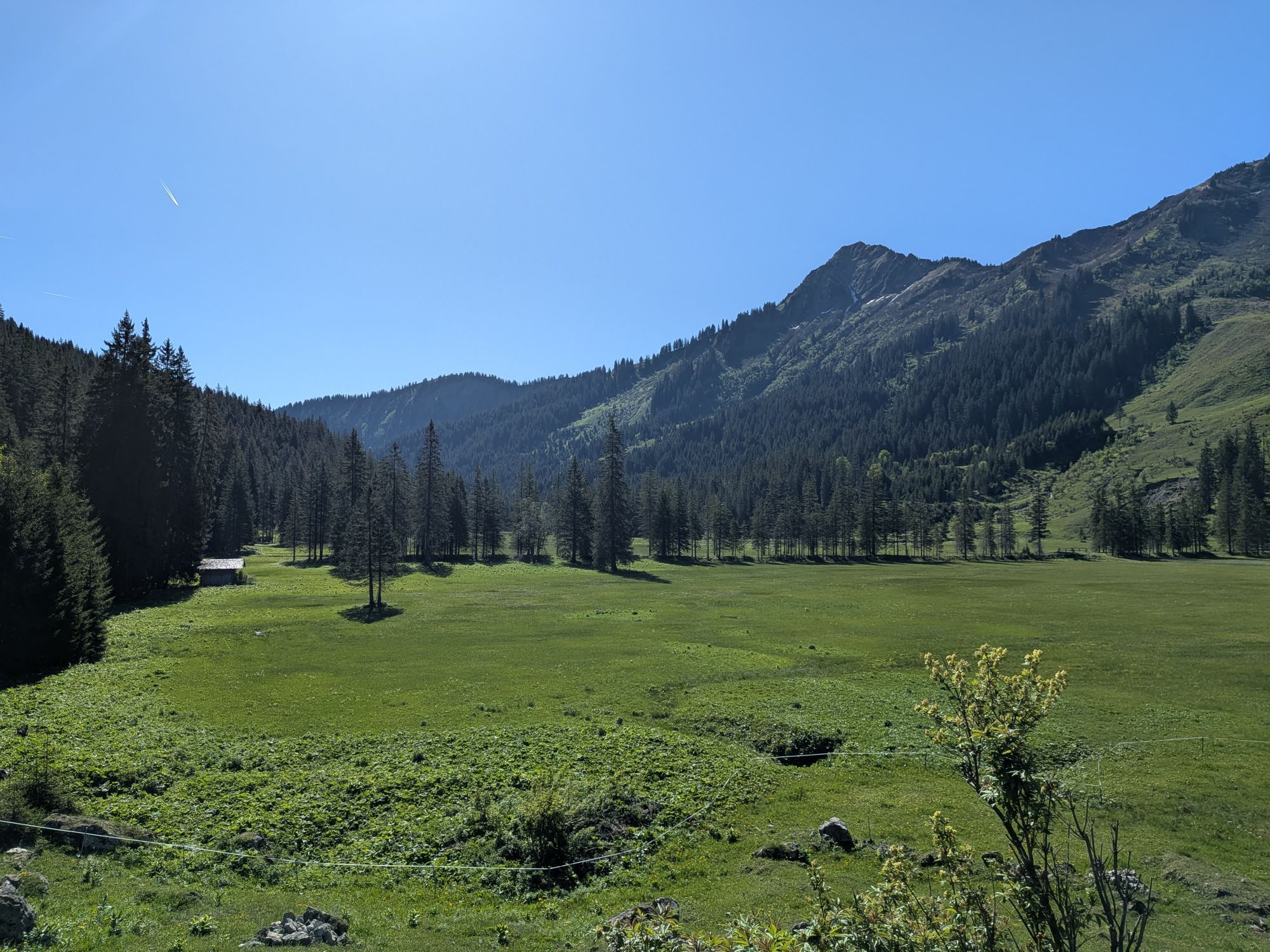


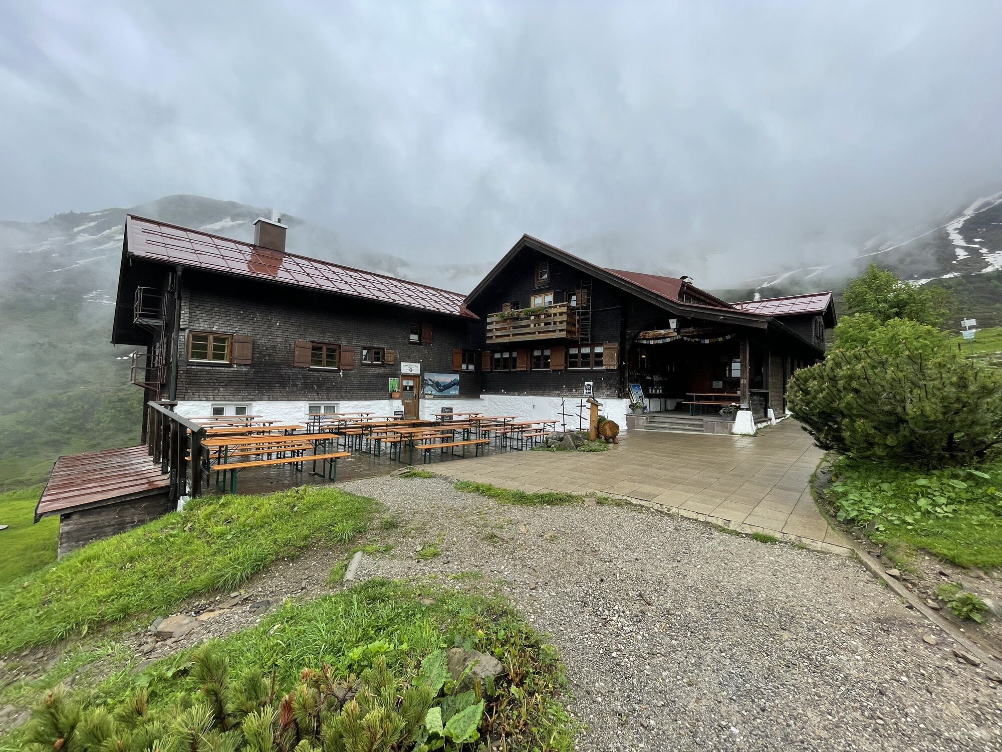


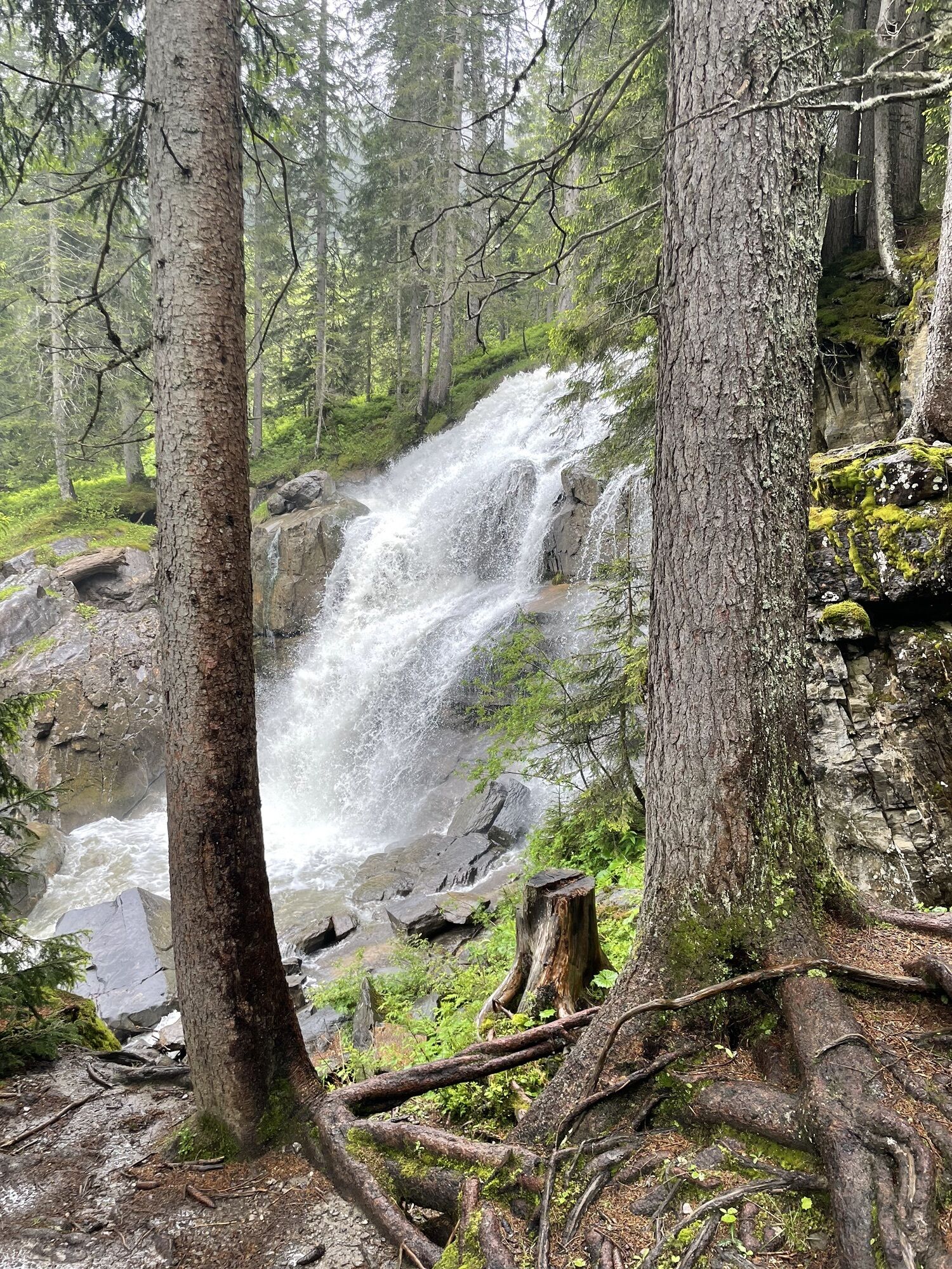

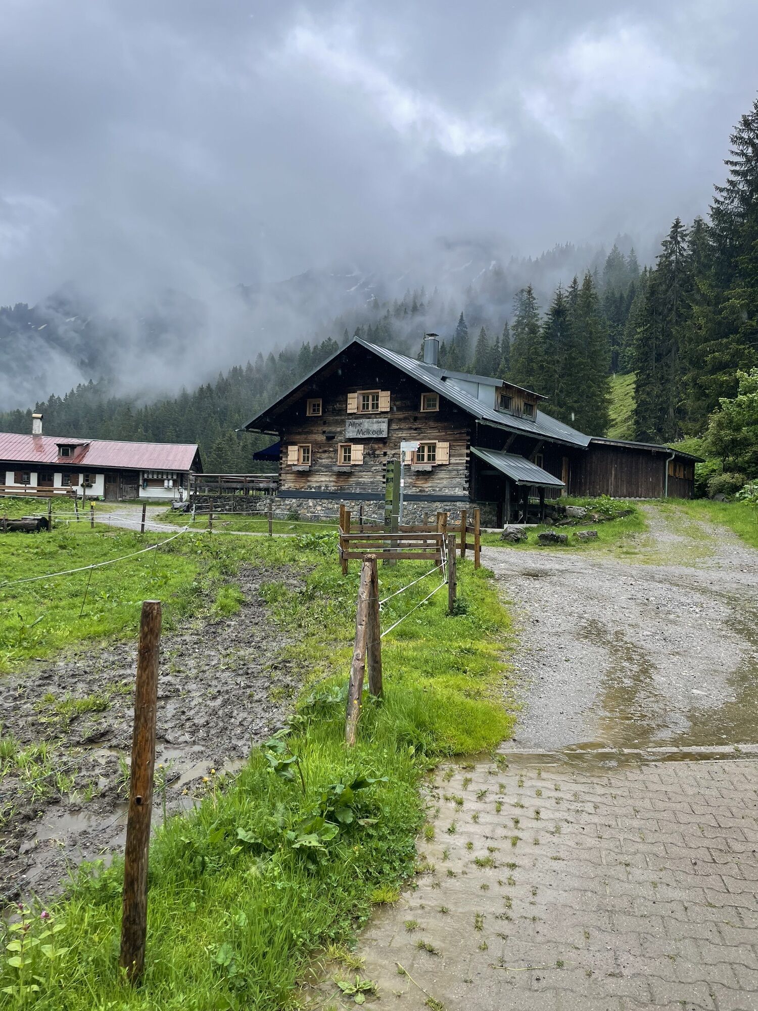
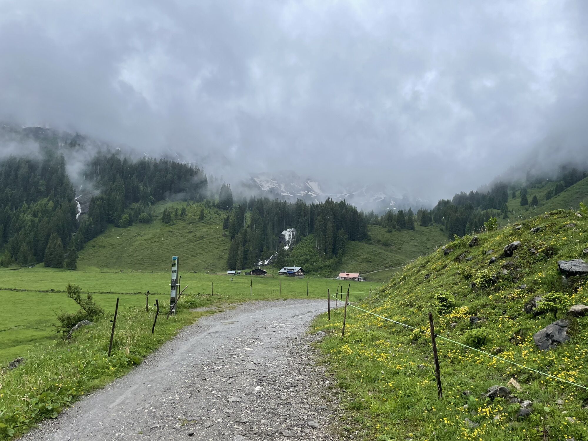
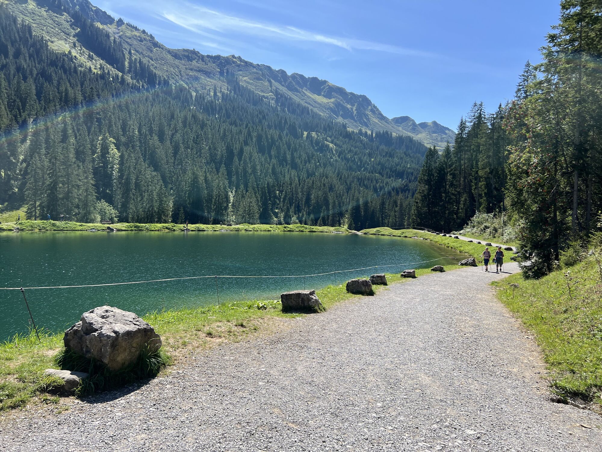
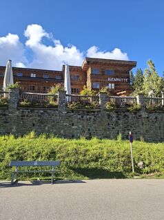
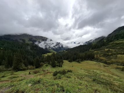
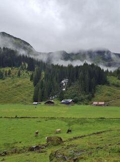
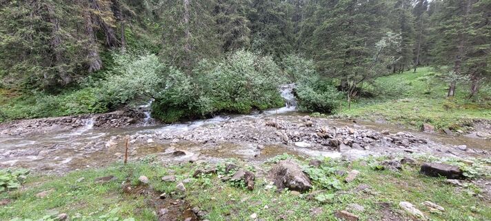
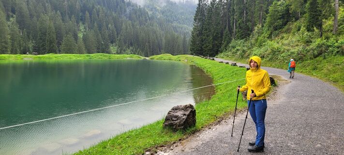
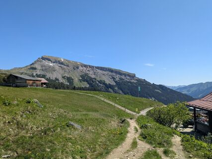
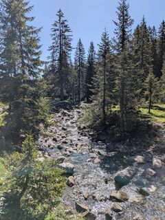
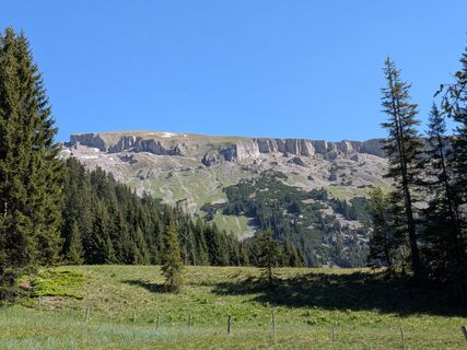
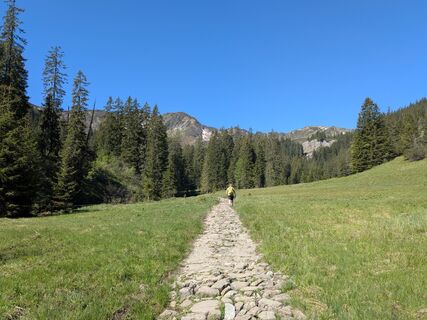
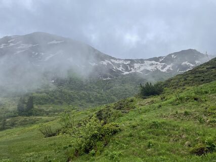
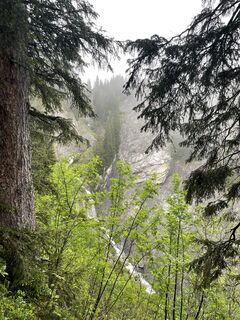
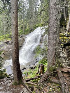
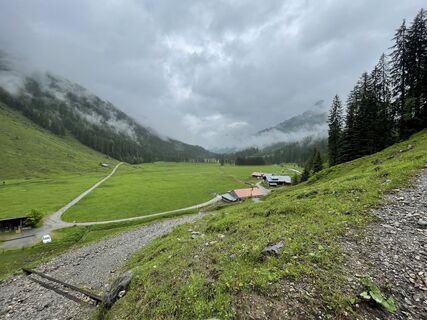
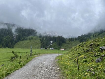
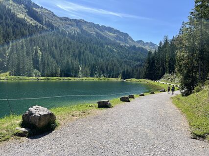
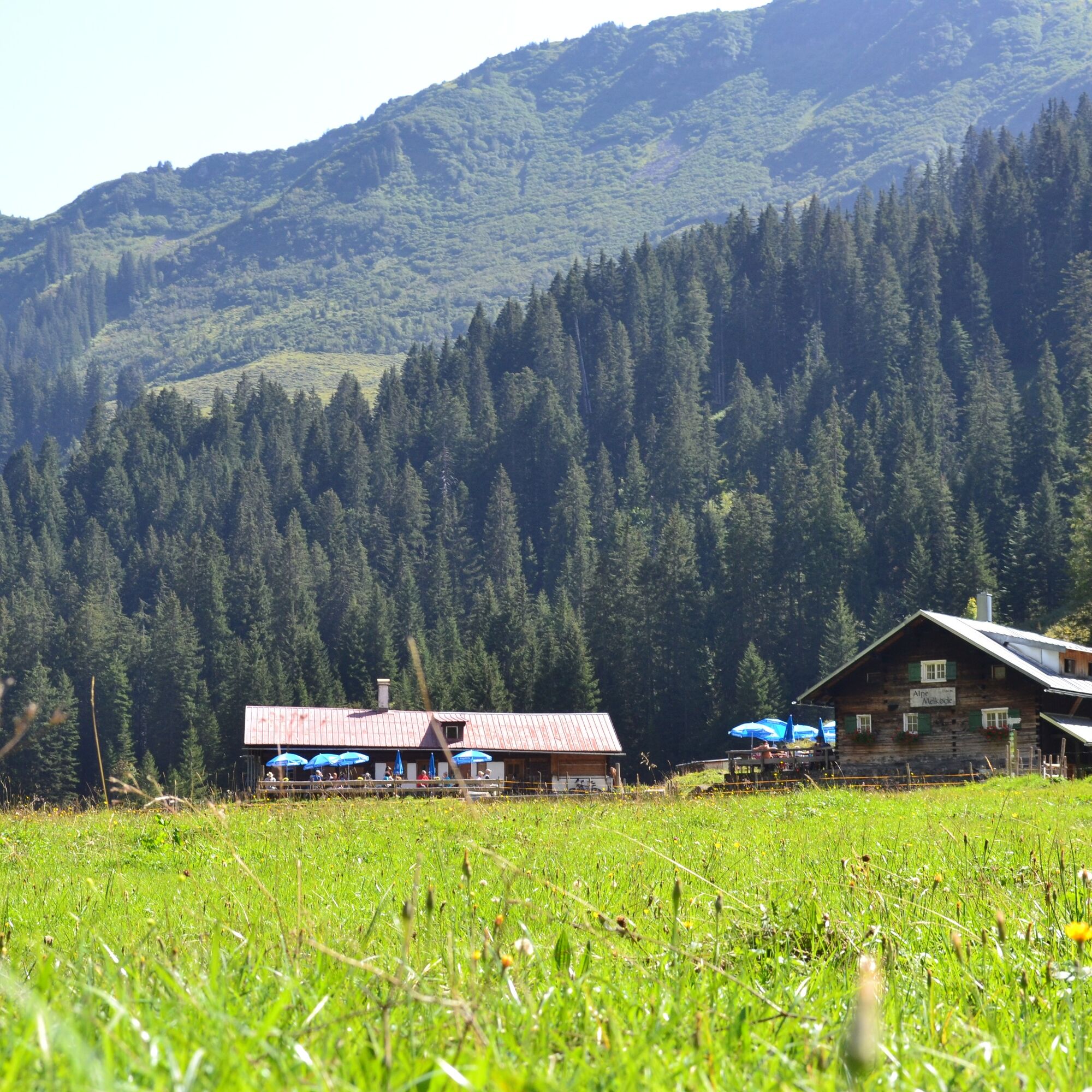
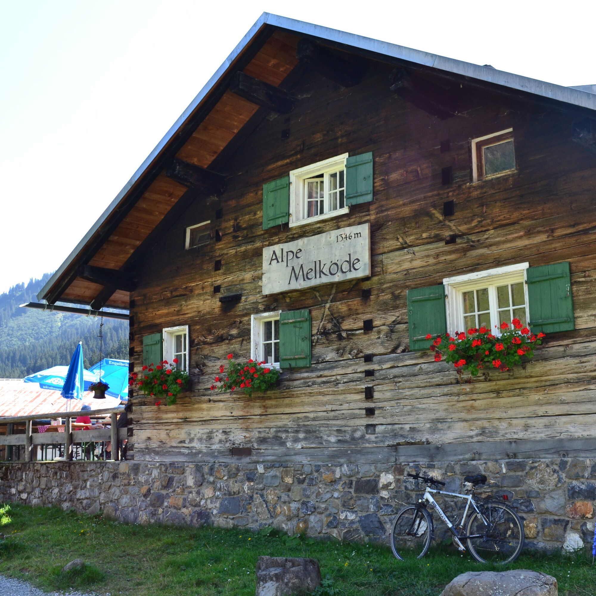
This hike leads from the Auenhütte via the Medlöde to the Schwarzwasserhütte. The Schwarzwassertal valley is a geologically and botanically highly interesting side valley of the Kleinwalsertal and a retreat...
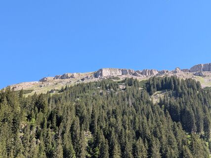
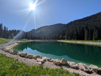
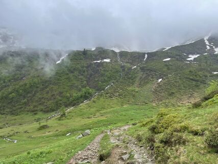
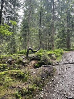
This hike leads from the Auenhütte via the Medlöde to the Schwarzwasserhütte. The Schwarzwassertal valley is a geologically and botanically highly interesting side valley of the Kleinwalsertal and a retreat area for many animal species. From the Auenhütte at the base station of the Ifen cable car, the hike passes the Herzsee lake, along a gently ascending hiking trail beside the Schwarzwasser stream, reaching the head of the Schwarzwassertal in about an hour. There is the Alpe Melköde, which is managed in the summer. From here, the somewhat steeper ascent follows to the Schwarzwasserhütte through a botanically interesting raised bog. Always in view are the Hohen Ifen to the north, the Steinmandl and Grünhorn to the west, and the Ochsenhofer Köpfe to the south. The return to the valley follows the same route.

Base station Ifen, Auenhütte - Herzsee - Alpe Melköde - Schwarzwasserhütte - Alpe Melköde - Herzsee - Base station Ifen, Auenhütte
Áno
Áno
Sturdy footwear. Hiking poles recommended for steeper sections.
EMERGENCY:
144 Alpine emergencies Vorarlberg
112 European emergency number (works with any mobile/ network)
Most arrival routes from Germany meet in Ulm and continue on the A7. At the Allgäu motorway junction, take the A980 section to the Waltenhofen exit, and on the four-lane B19 via Sonthofen and Oberstdorf into the Kleinwalsertal. From Austria (Vorarlberg) and Switzerland, you reach Kleinwalsertal via the Bregenzerwald (Hittisau) – Riedberg Pass – Fischen – Oberstdorf. Coming from Tyrol, the fastest route leads via the A7 to Kempten and further on the B19 towards Oberstdorf. You do not need a motorway vignette for the drive into the valley.
Starting point of the route: Walserbus line 5, bus stop Ifen
Paid parking at Ifen parking lot
T2
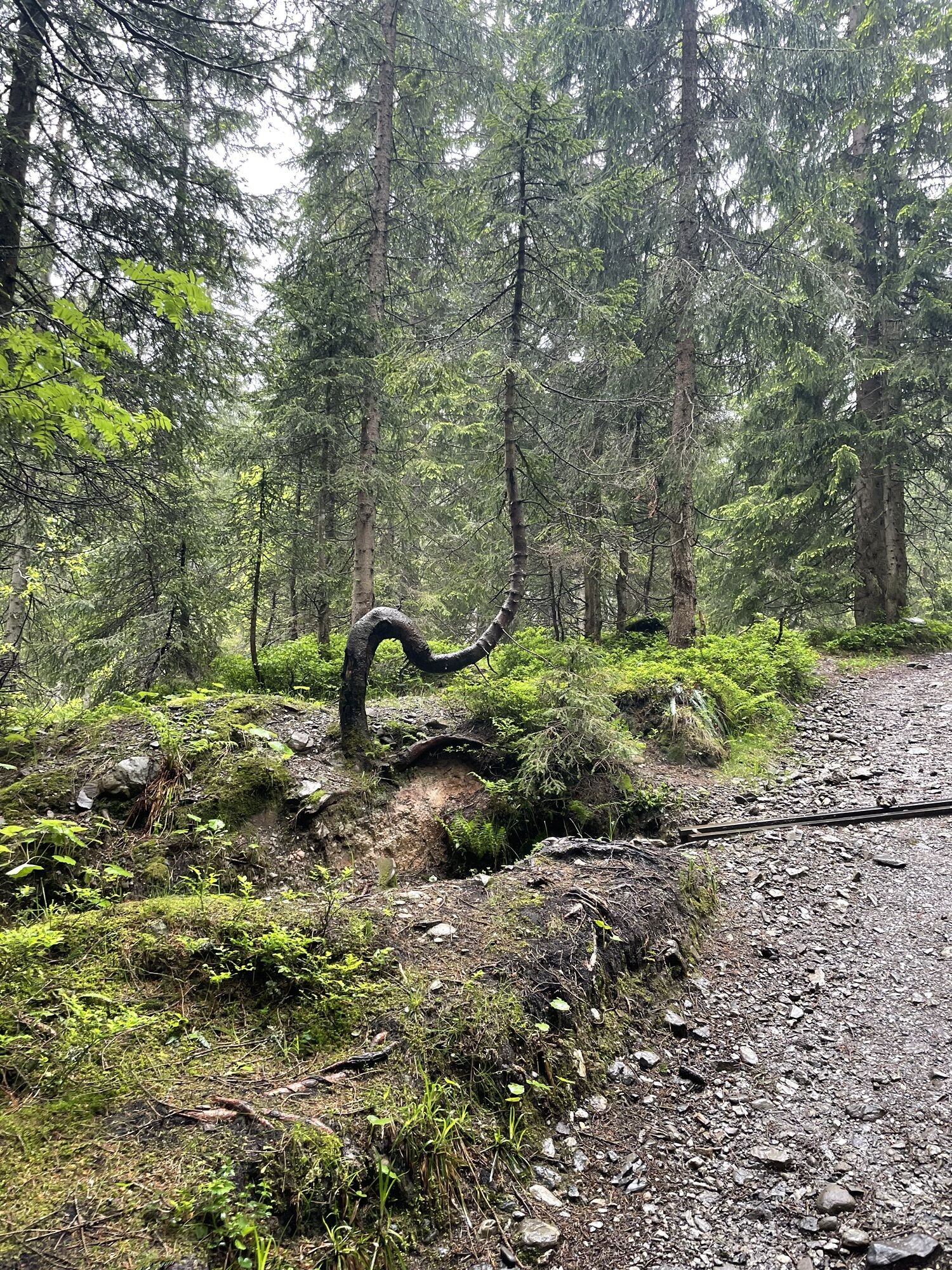
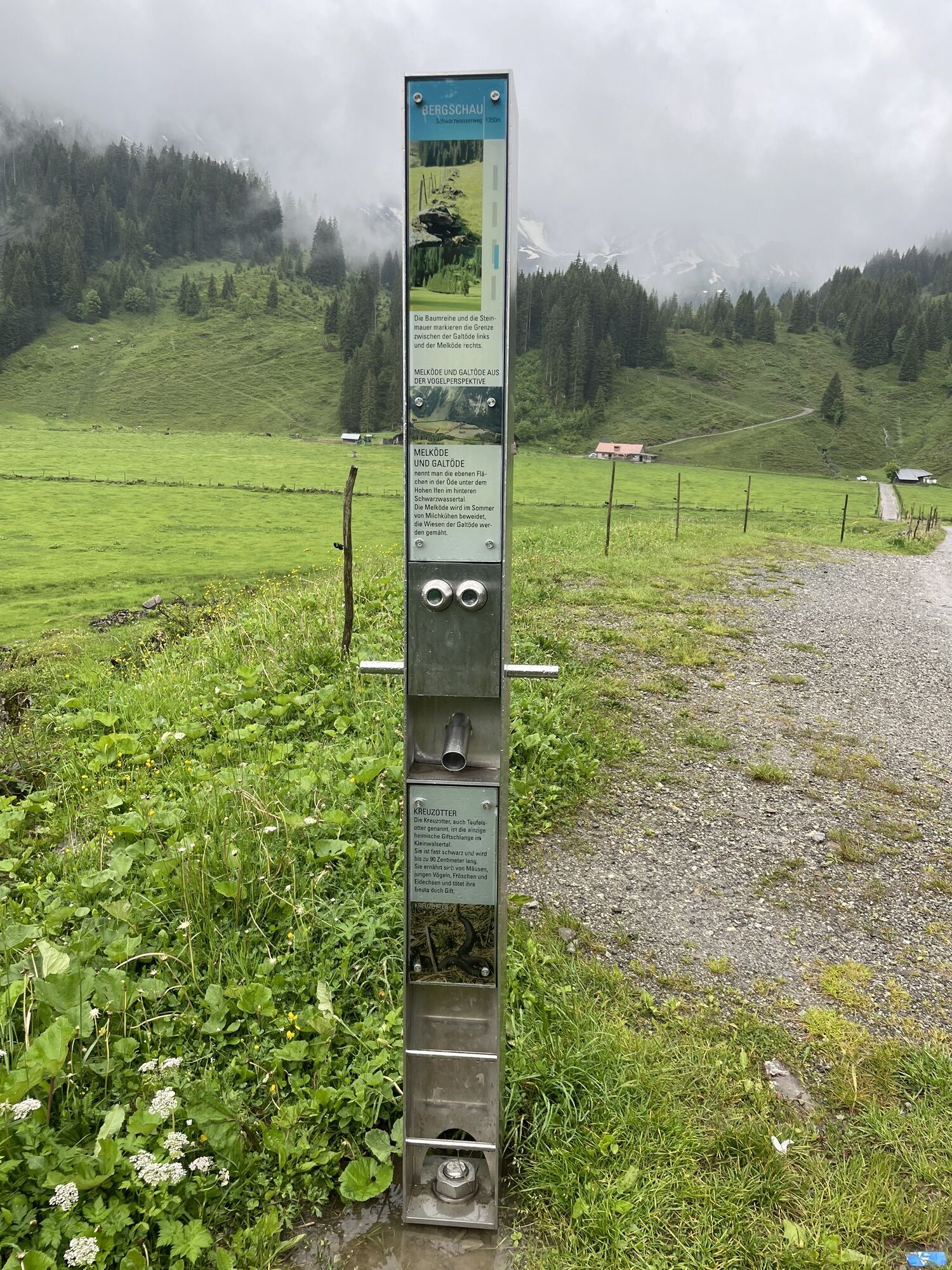
The high plateau of Melköde in the Schwarzwassertal was formed by a post-Ice Age rockslide. The massive boulders lying on both sides of the path in the Schwarzwassertal are witnesses of this huge rockslide that occurred centuries ago.
Webové kamery z prehliadky
-
Bergstation Kanzelwandbahn Riezlern
-
Diedamskopf Mittelstation / Wedelstube
-
Diedamskopf Bergstation
-
Hahnenköpflebahn Bergstation / Ifenbergbahn
-
Hirschegg - Naturhotel Chesa Valisa
-
Zaferna Bergstation
-
Breitenalpe
-
Wildentalhütte
-
Mittelberg - Naturhotel Lärchenhof
-
Plattform - Schirmbar Riezlern
-
Hirschegg - Hotel Walserhof
-
Hirschegg - Hotel Birkenhöhe
-
Hirschegg - Hotel Sonnenberg
-
Mittelberg Bödmen - Hotel Alte Krone
-
Mittelberg - Haus Walser Berge
-
Mittelberg - Bergpension Starzelhaus
-
Mittelberg - Gästehaus Otto Fritz
-
Bannholzhof
-
Bannholzhof
-
Kleinwalsertal / Haus Keti
-
Walmendingerhorn
-
Walmendingerhorn
-
Kleinwalsertal
-
Ifenbahn Bergstation
-
Ifenbahn Bergstation
-
Ifenbahn Bergstation
-
Ifenbahn Bergstation
-
Ifenbahn Bergstation
-
Ifenbahn Bergstation
-
Riezlern - Haus Peter Paul
-
Riezlern - Landhaus Evi
-
Hirschegg - Hotel Birkenhöhe
-
Kleinwalsertal - Ifenbahn
-
Ideallift
-
Naturhotel Chesa Valisa
-
Kleinwalsertaler Rosenhof
-
Ferienhaus Oberwiese
-
Alpenwald
-
Hotel Alpenstüble
-
Kesslerlift

Obľúbené výlety v okolí
-
5,0
Gerstruben - zum historischen Bergbauerndorf
strednáTuristika 12,8 km -
4,4
Mountain tour over the Fellhorn ridge
strednáTuristika 8,24 km -
4,4
Circular hike through the Bärgunttal
strednáTuristika 4,75 km -
4,7
Widderstein Runde von Baad
strednáTuristika 15,8 km -
4,6
Breitachklamm Rundweg (Alpe Dornach)
strednáTuristika 7,65 km -
4,2
Kanzelwand- Fellhorn- Kanzelwand
svetloTuristika 7,60 km -
4,8
Biberkopf
ťažkéTuristika 7,70 km -
5,0
Winterstaude
strednáTuristika 9,30 km -
3,4
Mountain tour over the Hoher Ifen
ťažkéTuristika 14,3 km -
4,4
Circular hike through the Derratal
strednáTuristika 8,11 km
Turistika a stopovanie


Nenechajte si ujsť ponuky a inšpiráciu na ďalšiu dovolenku
Vaša e-mailová adresa bol pridaný do poštového zoznamu.