







Circular route to Tilisunahütte
Úroveň náročnosti: T2
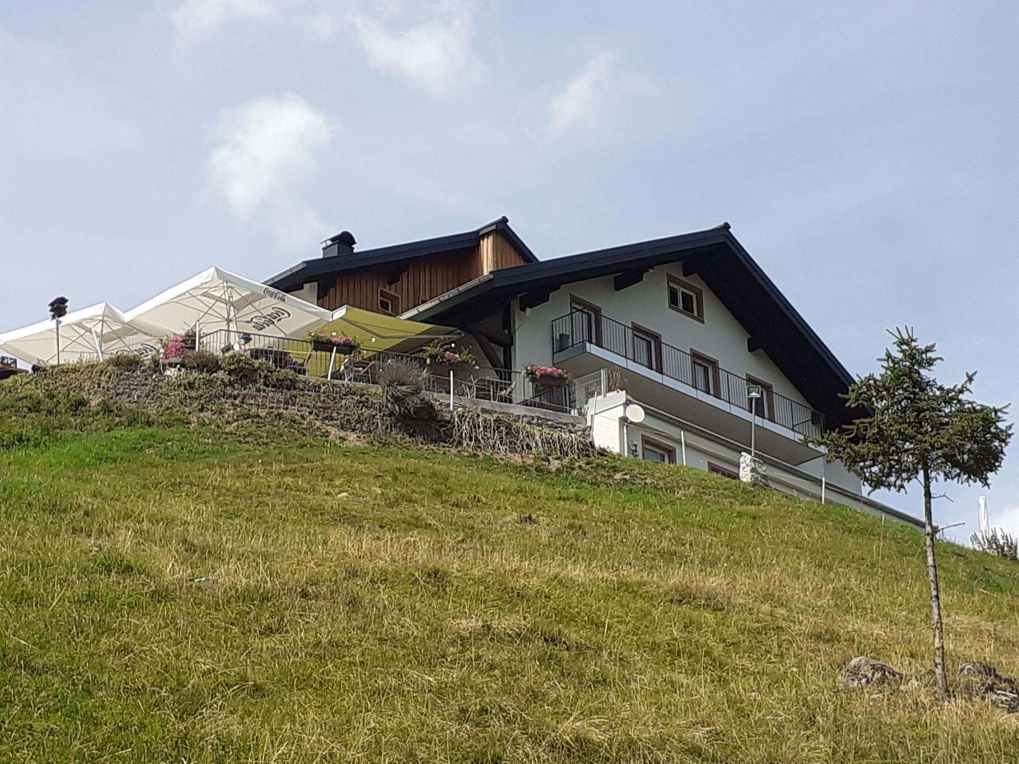

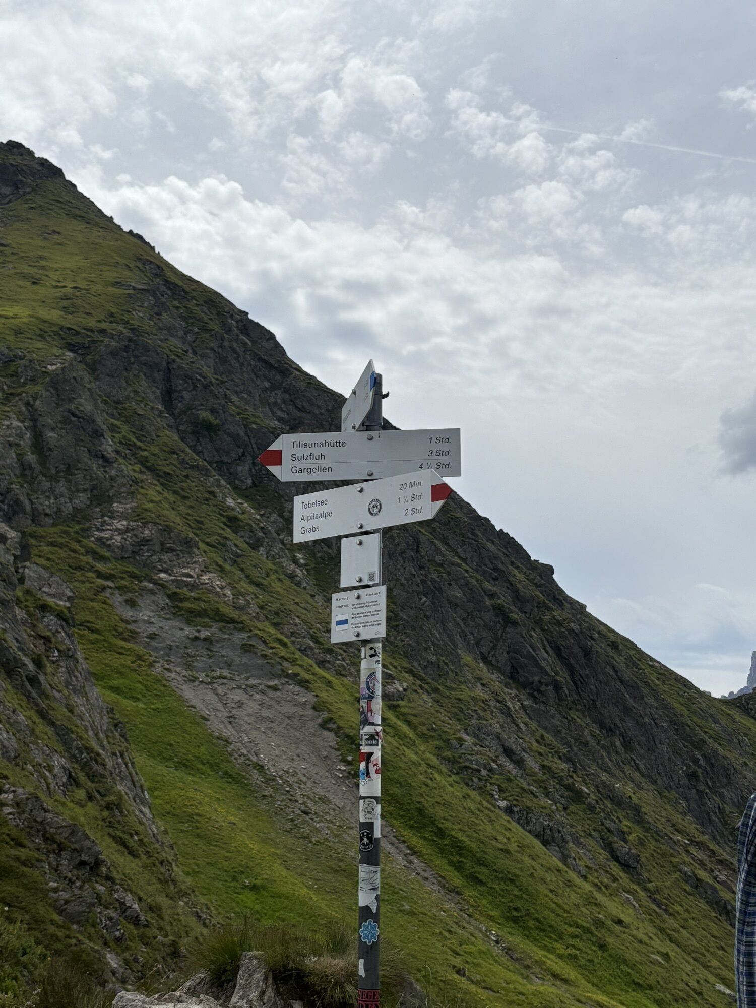
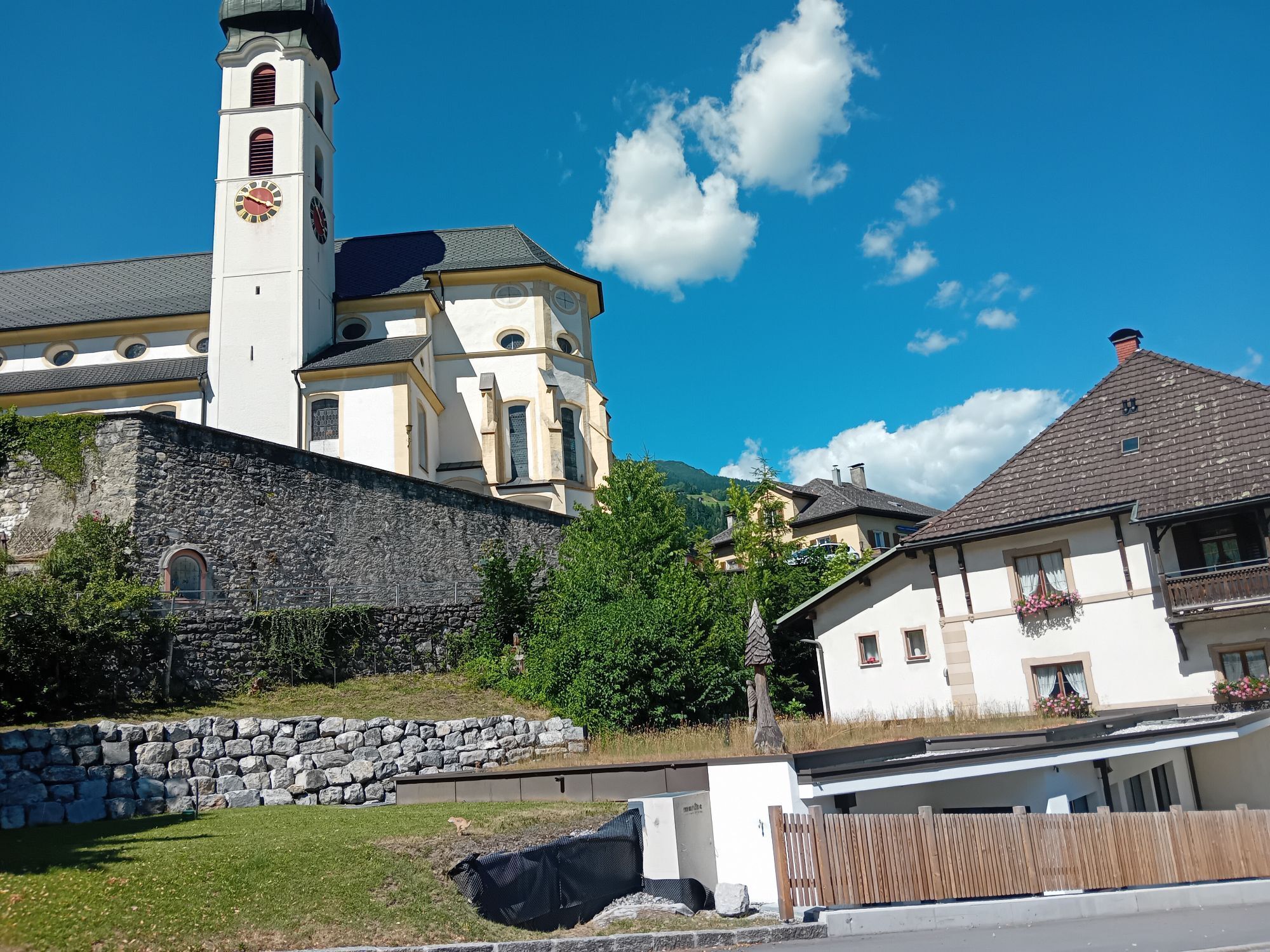

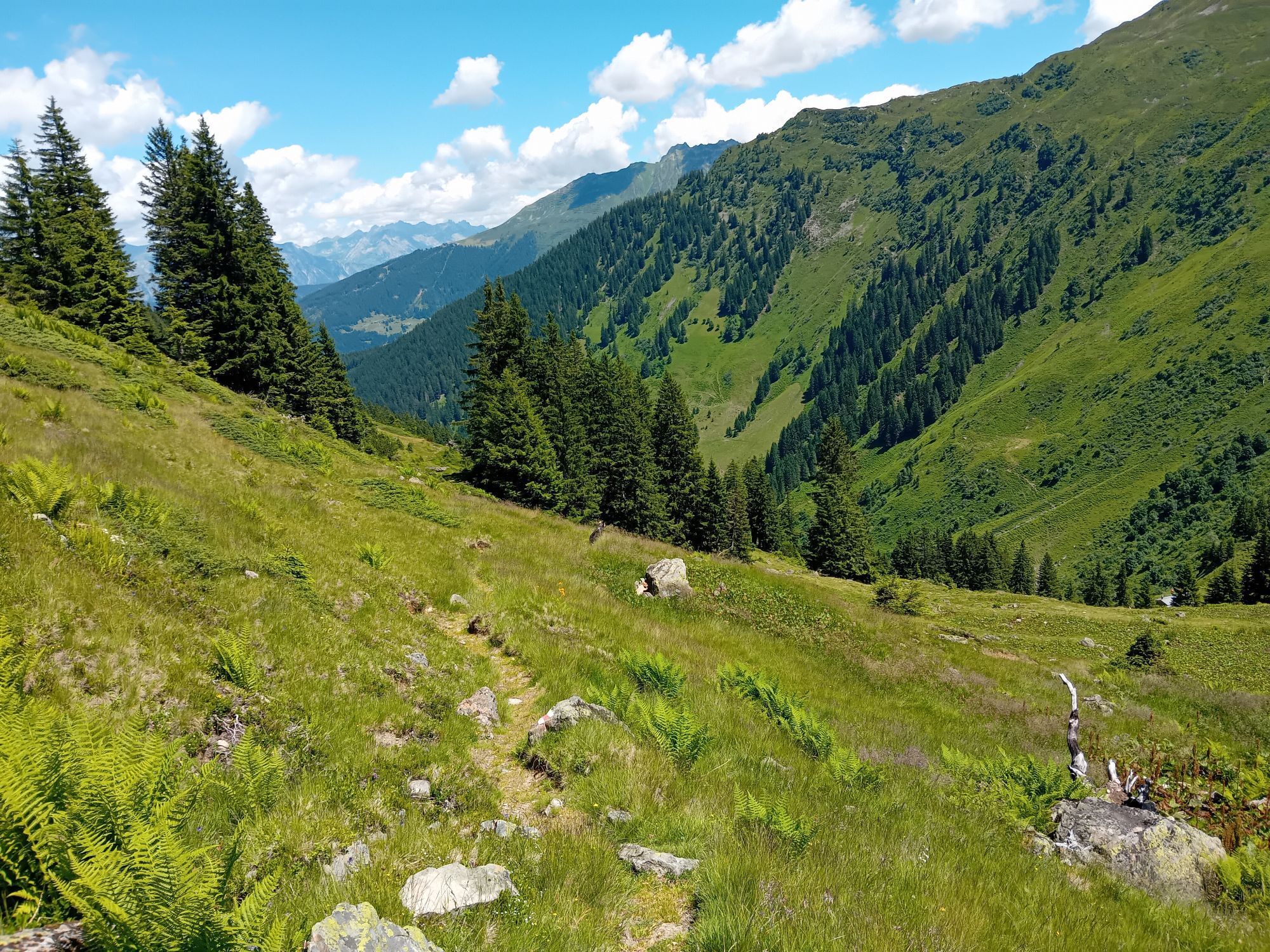
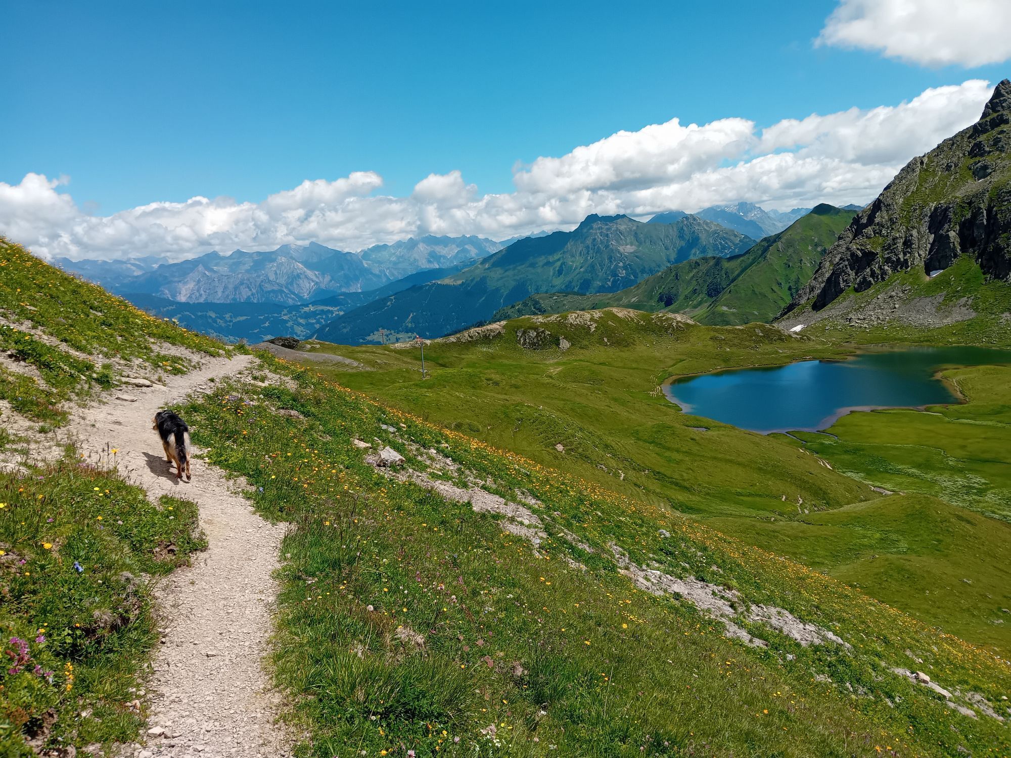
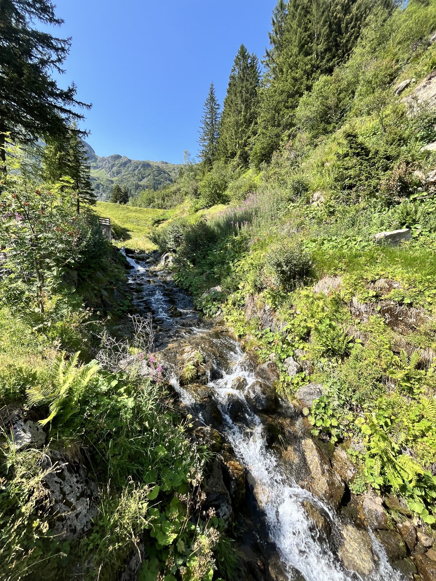
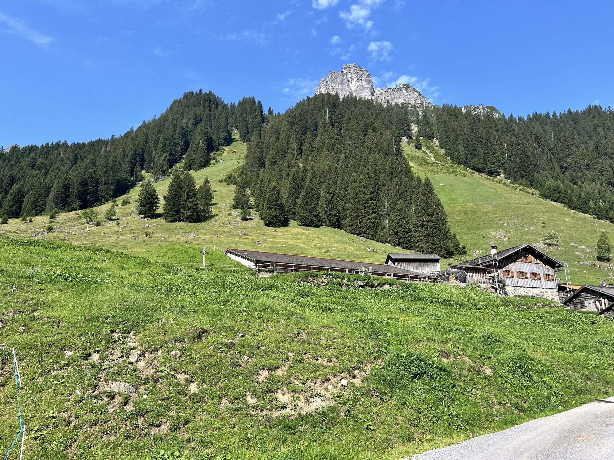
This hike takes you past idyllically located alpine pasture huts, magnificently blooming alpine rose slopes, and to the beautifully situated Tobelsee. In good weather, the Tobelsee is the photo spot par...
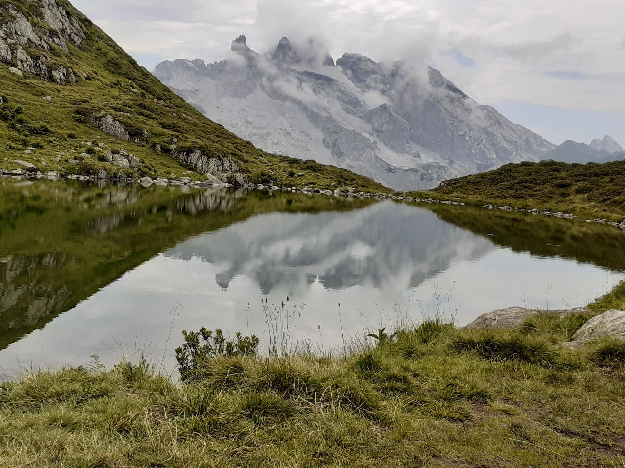
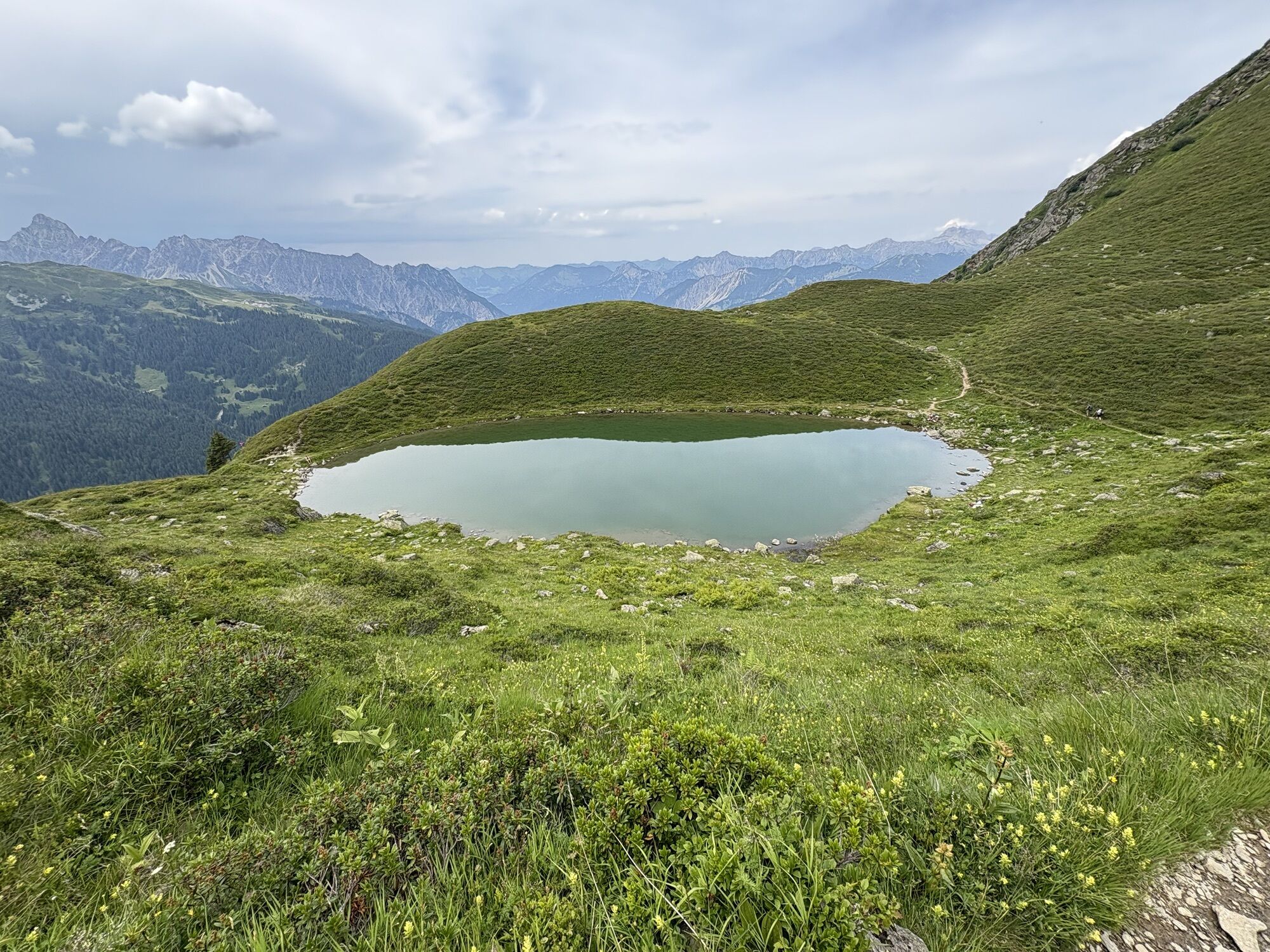
This hike takes you past idyllically located alpine pasture huts, magnificently blooming alpine rose slopes, and to the beautifully situated Tobelsee. In good weather, the Tobelsee is the photo spot par excellence, as the striking Drei Türme are reflected in it.

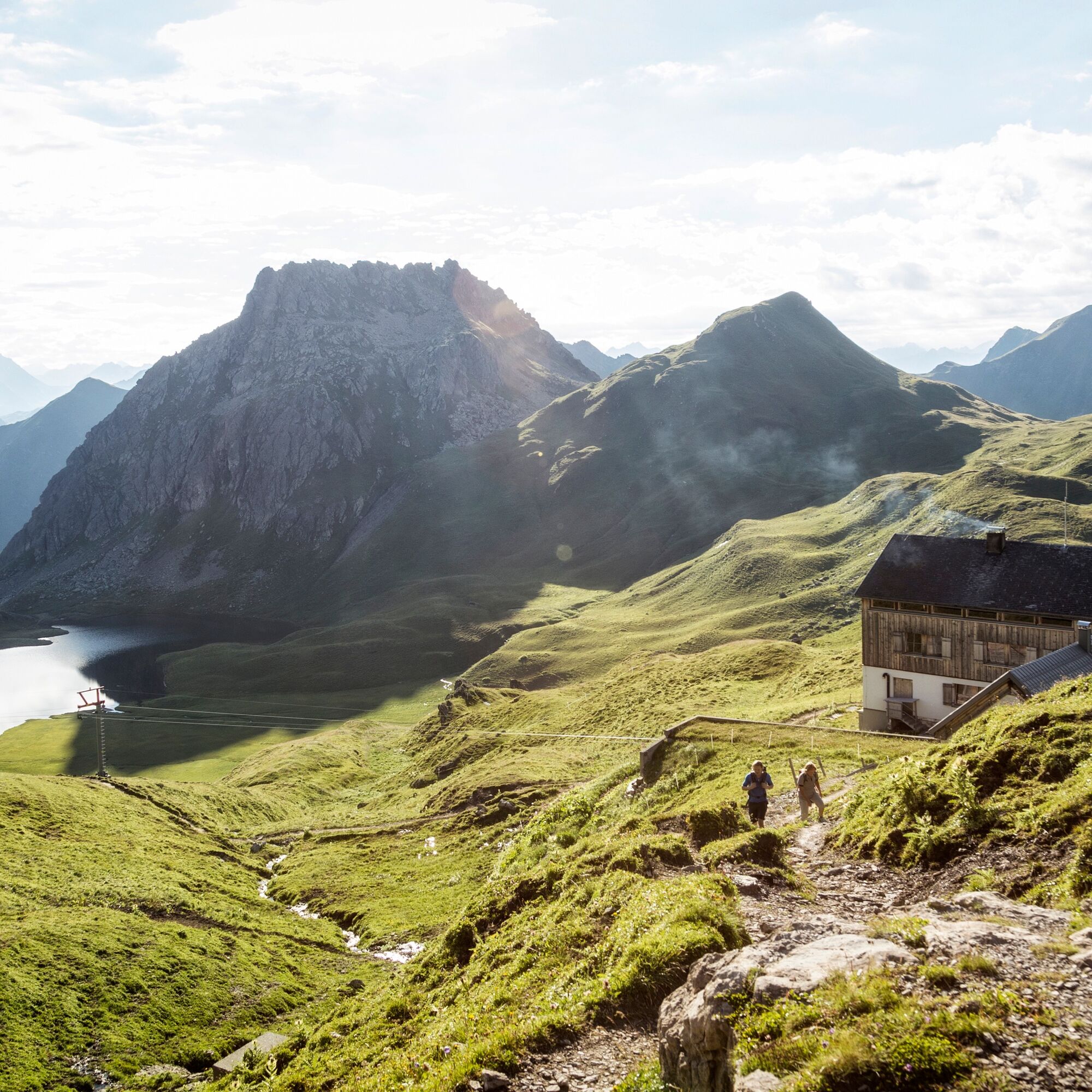
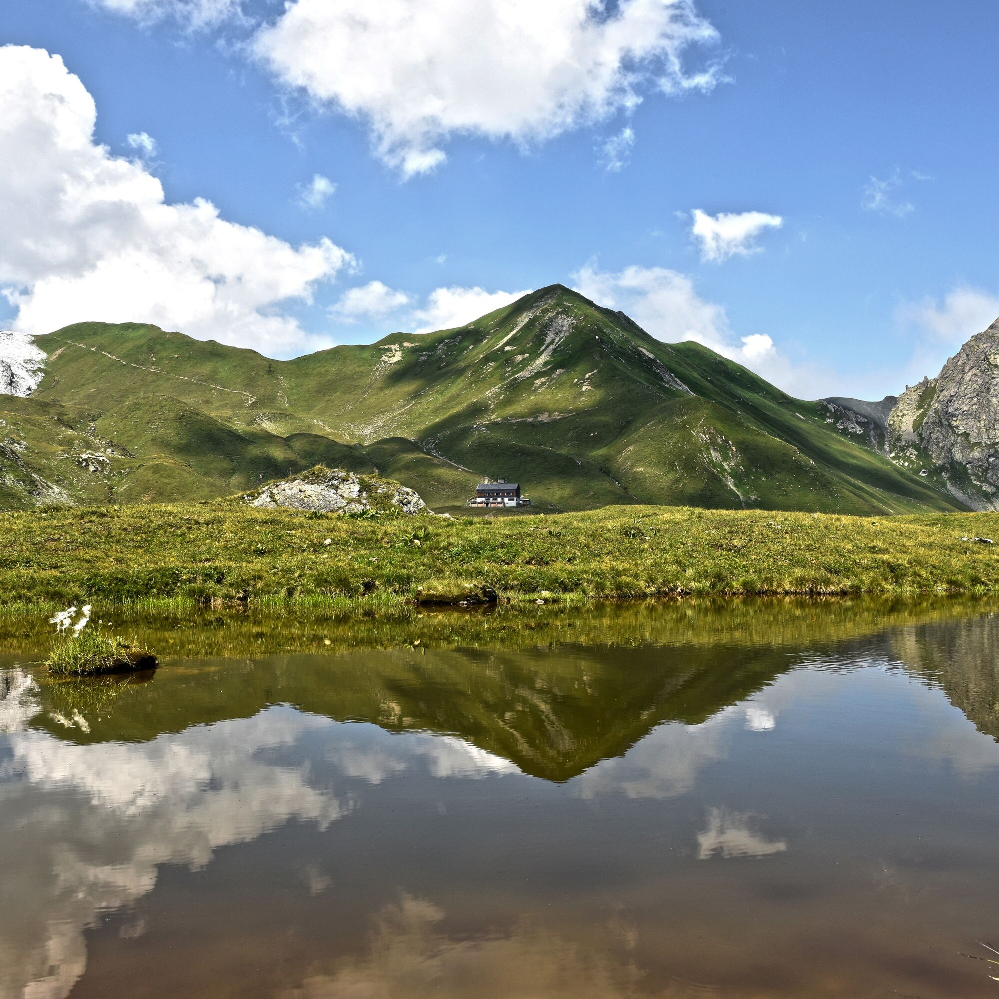
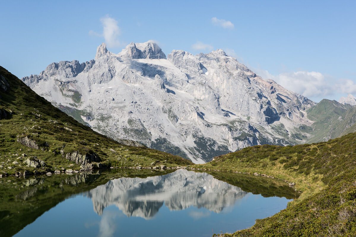
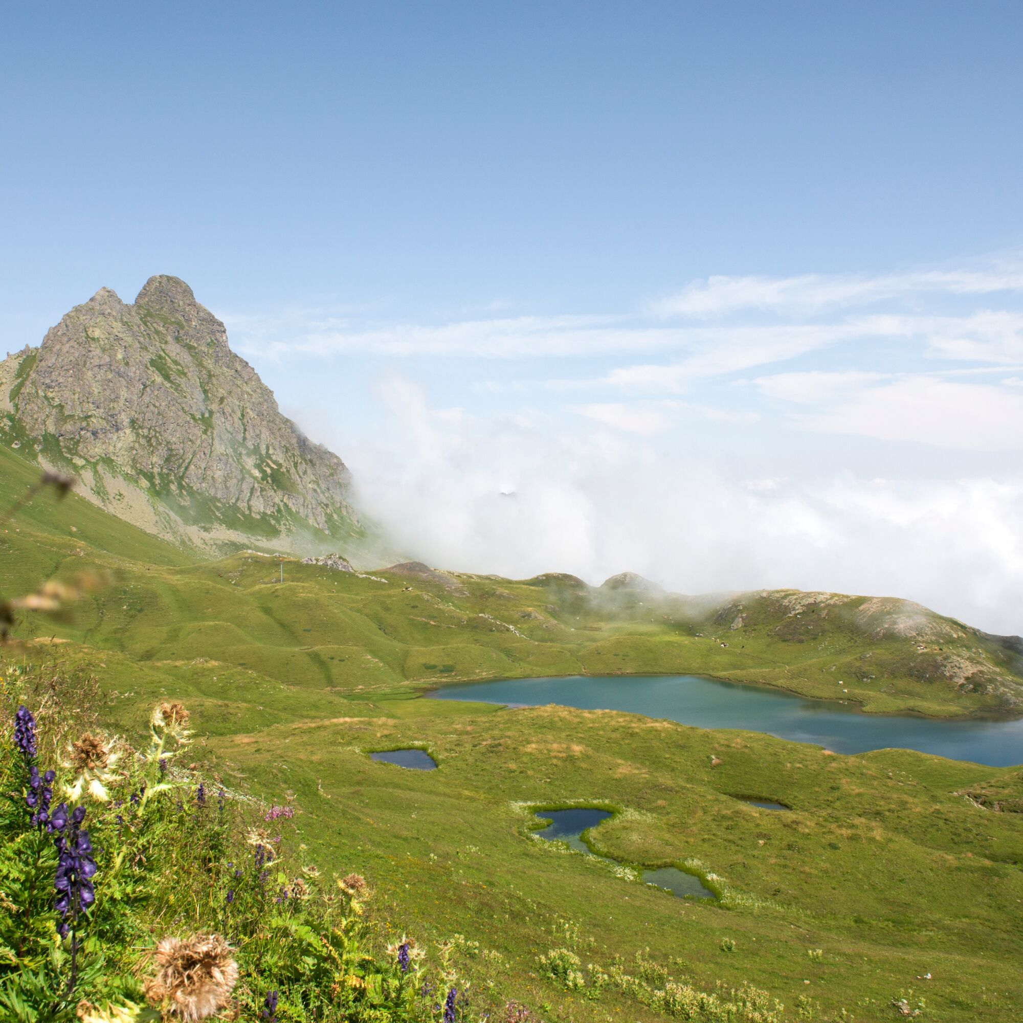
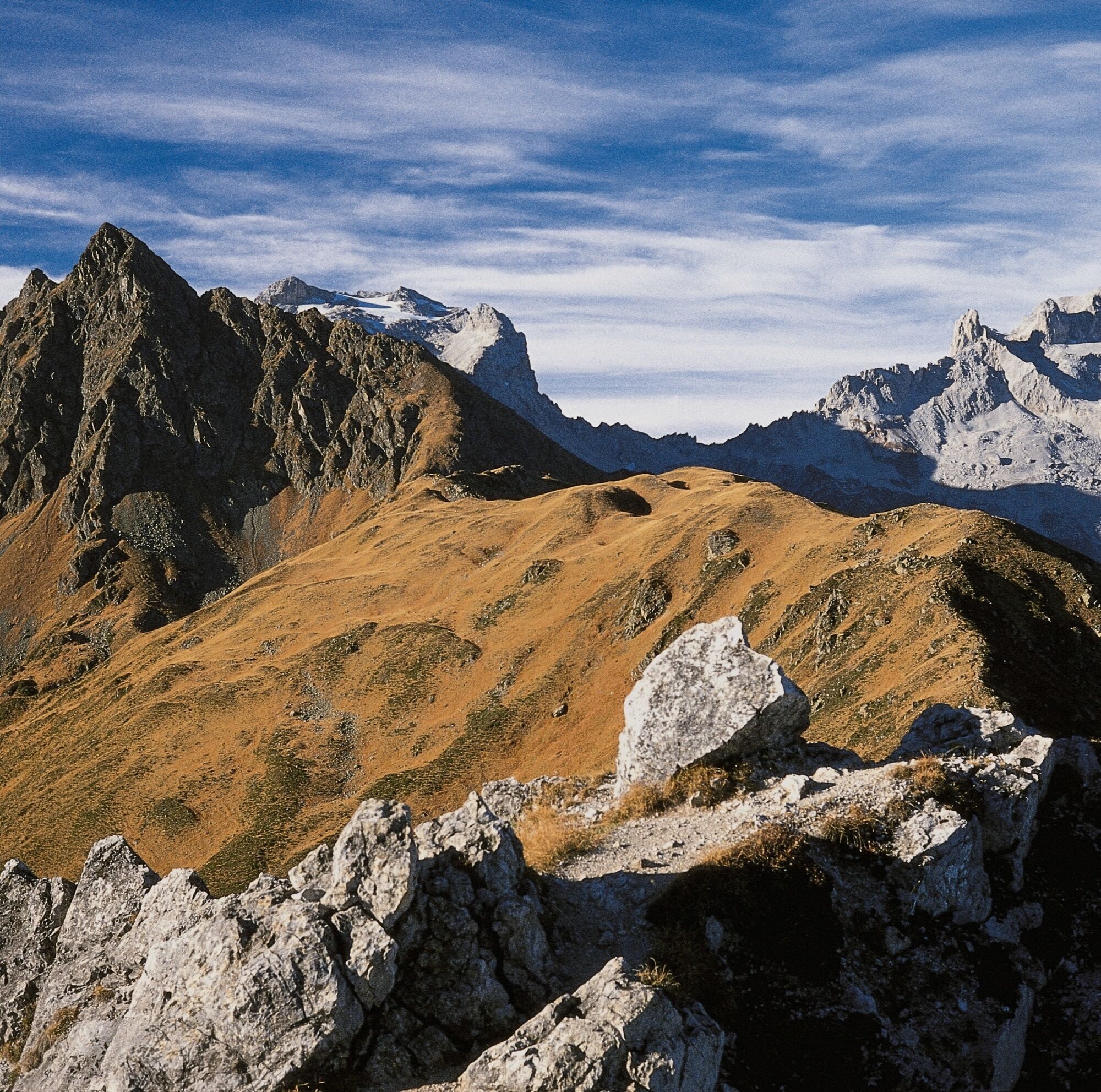
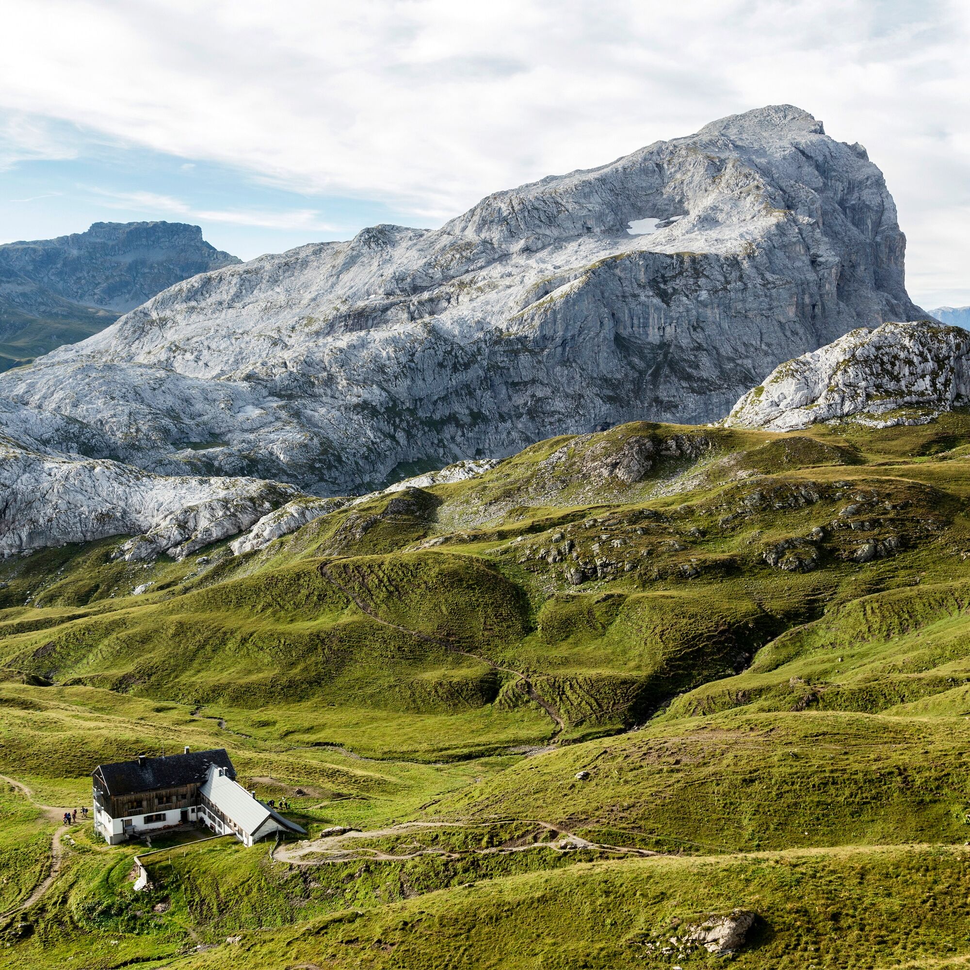
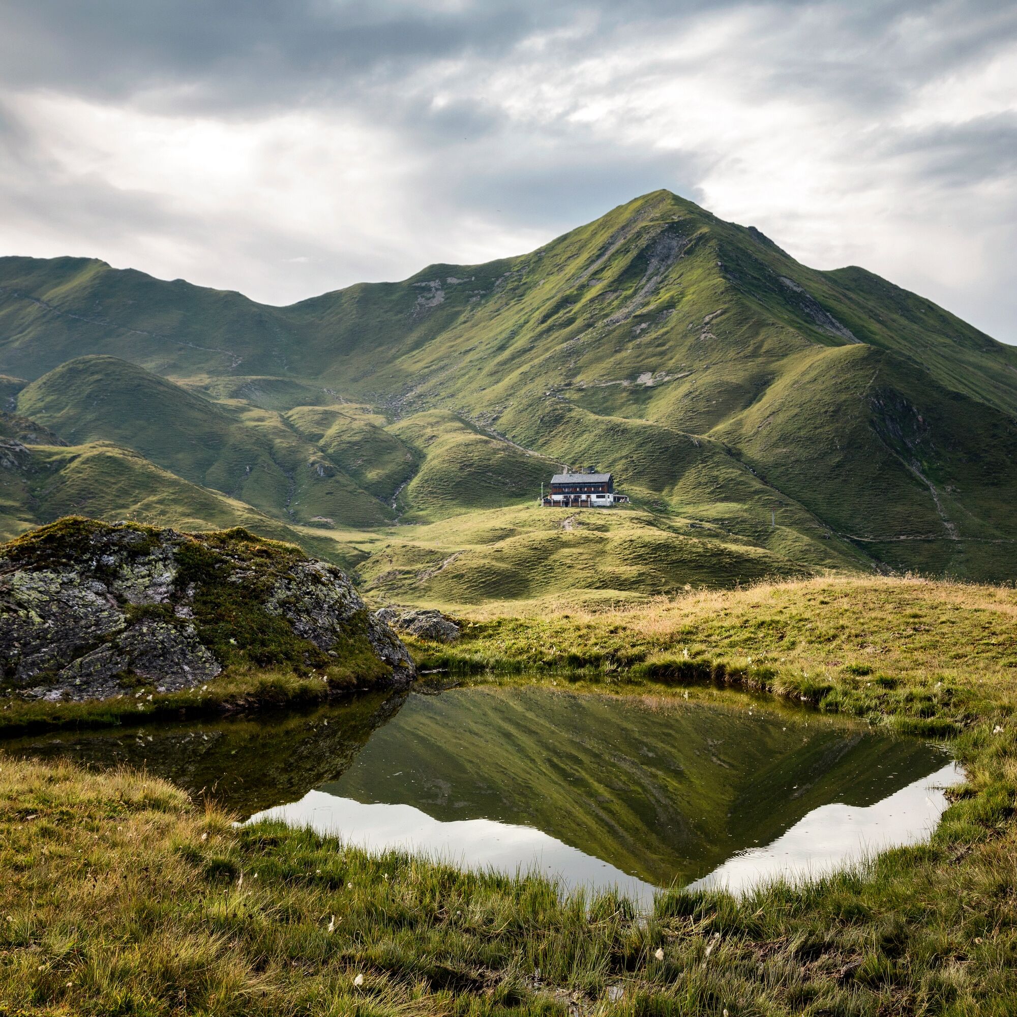

You start the hike at the Berggasthof Grabs and follow the meadow path to Hochegga, which is initially somewhat steep. Then the path leads right onto a wider forest road, which you leave after about 15 minutes (from the beautifully located Sennalpe Alpila). You now go left through the foothills of the Tschaggunser Mittagspitze over Mottabella to the Tobelalpe, moderately uphill. Here, turning left again, the mountain path continues uphill through alpine rose slopes to the magnificently located Tobelsee. With a bit of luck with the weather and calm winds, the Drei Türme are reflected in the enchanting mountain lake.
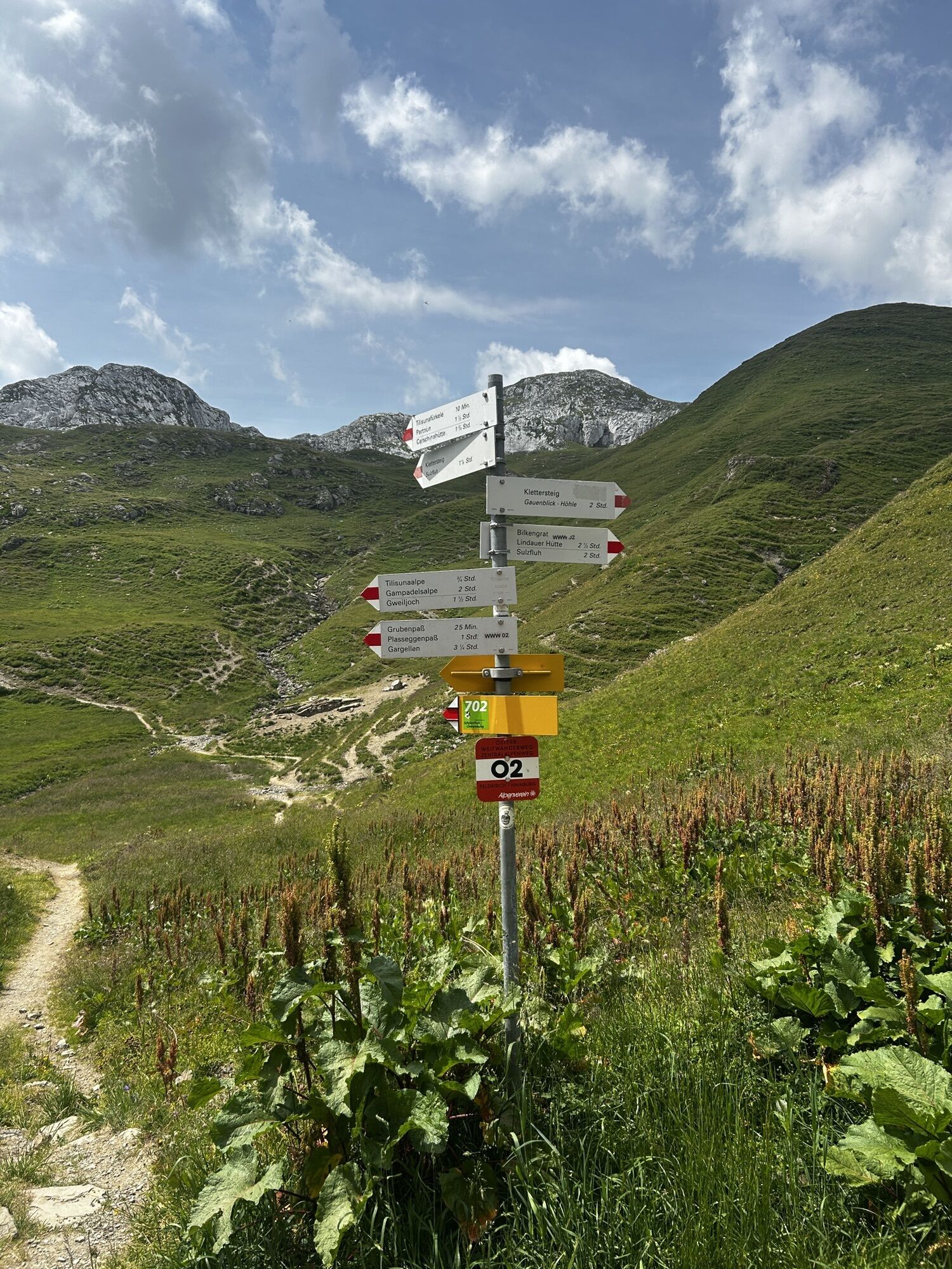
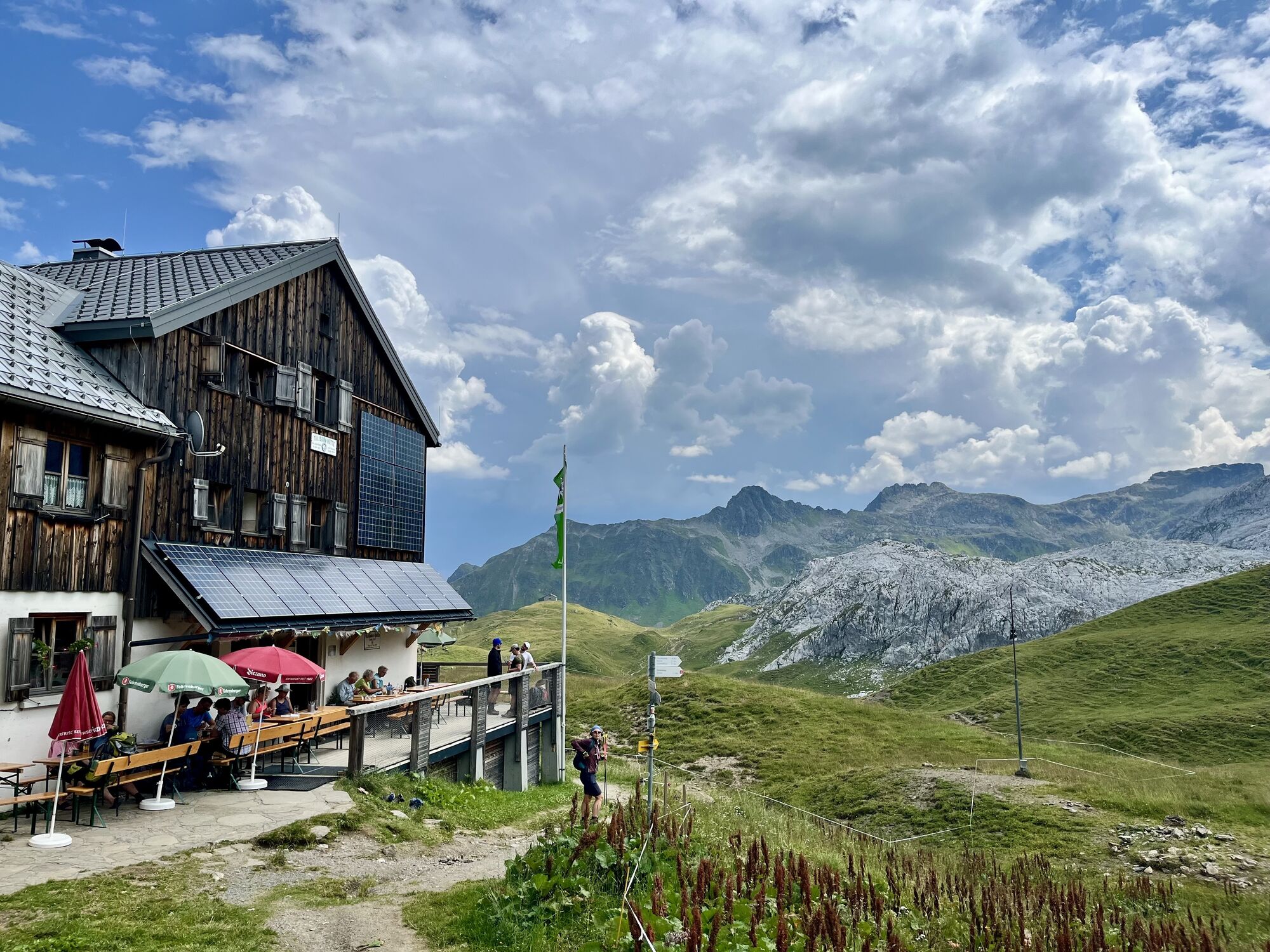
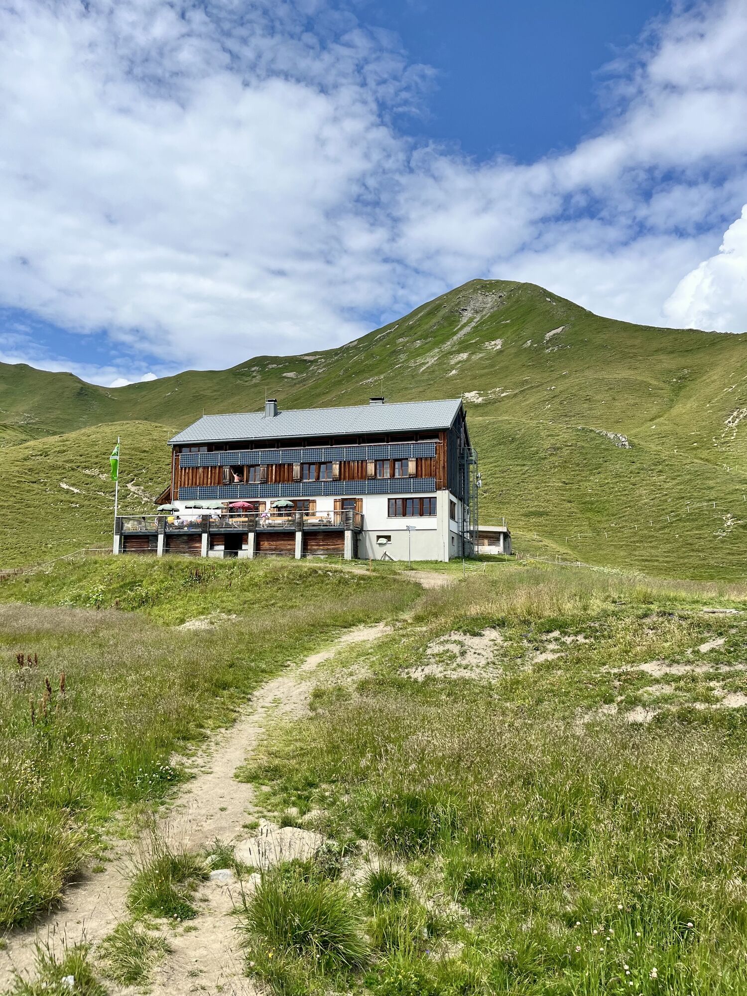
After a short steep climb, the Schwarzhornsattel is reached from here. Now it goes down into a gravel cirque below the rocky slopes of the Schwarzhorn. A short counter ascent follows, and over the further high plateau of the Ried, the Tilisunahütte is reached. The Tilisunahütte lies above the lake of the same name with the Tilisuna Seehorn. The view from the hut terrace shows the massive rock walls of the Weißplatte. The OeAV hut is located at the junction of several long-distance hiking trails and is also popular as a starting point for climbing the Sulzfluh.
Among the many hiking options, you choose the descent route along the lake path and the Herrawegli into the original Gampadelstal. For this, you go back about 10 minutes on the ascent path, then turn right and hike down to the Tilisunasee on the Walseralp lake path. For a small section, we can accompany the babbling outflow of the Tilisunasee. Then the descent continues steeply and stony to the left down to the Walseralpe. The rocky formation of the Tschaggunser Mittagspitze comes increasingly into view. The subsequent narrow Herrawegli is less rocky and leads down to the Gampadelsalpen. At the first hut, turn left onto the carriage road and follow it downhill. You follow the well-marked paths of the Ziegerberg back to Tschagguns.
Day hiking backpack (approx. 20 liters) with rain cover, sturdy and comfortable footwear, weather-appropriate and durable clothing in layers, if necessary telescopic poles, sun and rain protection, provisions and drinking water, first aid kit, pocket knife, cell phone, if necessary headlamp, maps
Euro emergency number: 112 (works with any mobile phone/network)
www.vorarlberg.travel/sicherheitstipps
Take the A14 to the Bludenz/Montafon exit and continue on the Montafonerstraße L188 to Tschagguns. Via Tschagguns you reach the elevated Latschau.
Just leave your car standing
The regional buses operate throughout Montafon. The main lines run every half hour from Schruns train station.
Bus stop at the start of the route: Latschau Golmerbahn/ line 601
Bus stop at the end of the route: Tschagguns Gemeindeamt/ line 601
Timetable: www.vmobil.at
Arrival by train to Montafon
From Bludenz station, the Montafon railway runs hourly (partially every half hour). There are also direct connections from Lindau (D) or from Bregenz.
Timetable: www.oebb.at
Parking Golmerbahn Latschau
T2
You can pick up a free hiking map "My active hiking map" at the Montafon tourist information centers.
At the Tilisunahütte, you should definitely try a dish with the Montafon specialty Muntafuner Sura Kees.

Webové kamery z prehliadky
-
Hochjoch Bahn Bergstation
-
Grüneck Bergstation
-
Matschwitz Mittelstation
-
Innerberg
-
Sücka Schlepplift Talstation
-
Berghof Golm
-
Golm - Matschwitz
-
Golm - Hüttenkopfbahn
-
Golm - Rätikonbahn
-
Bartholomäberg
-
Bartholomäberg
-
Tschagguns
-
Schruns
-
Tilisunahütte
-
Tilisunahütte
-
Bartholomäberg - Ferienhotel Fernblick
-
Schlepplift Innerbach
-
Bartholomäberg
-
Bartholomäberg - Ferienhotel Fernblick
-
Bartholomäberg - Ferienhotel Fernblick
-
Bartholomäberg - Ferienhotel Fernblick
-
Berghaus Sulzfluh
-
Berghaus Sulzfluh
-
Berghaus Sulzfluh
Získajte prehľad
Vždy naživo na mieste s viac ako 9 500 webovými kamerami. bergfex Ako používateľ Pro si teraz môžete pozrieť príslušné webové kamery pre mnohé zájazdy v aplikácii zájazdy z. Môžete si tak priamo prezerať aktuálne podmienky.


Obľúbené výlety v okolí
-
4,8
Douglashütte - Schesaplana
strednáTuristika 7,31 km -
5,0
Ski tour to the Lindauer Hut (1,744 m)
svetloSkitour 14,0 km -
4,7
Smuggler’s path
strednáTematická trasa 8,60 km -
5,0
Bürs, Bürserschlucht Bürs, Vorarlberg
strednáTuristika 5,31 km -
4,6
Over the historic mine and Fritzensee to Rellseck
strednáTuristika 7,25 km -
4,4
Golm-Rundwanderweg im Rätikon
strednáTematická trasa 7,28 km -
4,9
Douglasshütte, Lünersee, Gafalljoch Brand bei Bludenz, Vorarlberg
svetloTuristika 9,16 km -
4,7
Kristberg - Wasserstubental - Silbertal
svetloTuristika 13,8 km -
4,5
Madrisella summit path
strednáTematická trasa 10,8 km -
4,3
Golmerbahn Bergstaion Grüneck - Golmer Höhenweg - Geißspitze - Lindauer Hütte - Latschau
strednáTuristika 11,5 km
Turistika a stopovanie


Nenechajte si ujsť ponuky a inšpiráciu na ďalšiu dovolenku
Vaša e-mailová adresa bol pridaný do poštového zoznamu.





