







Rätikon South hut route - Golmerbahn mountain station to Lindauer Hut
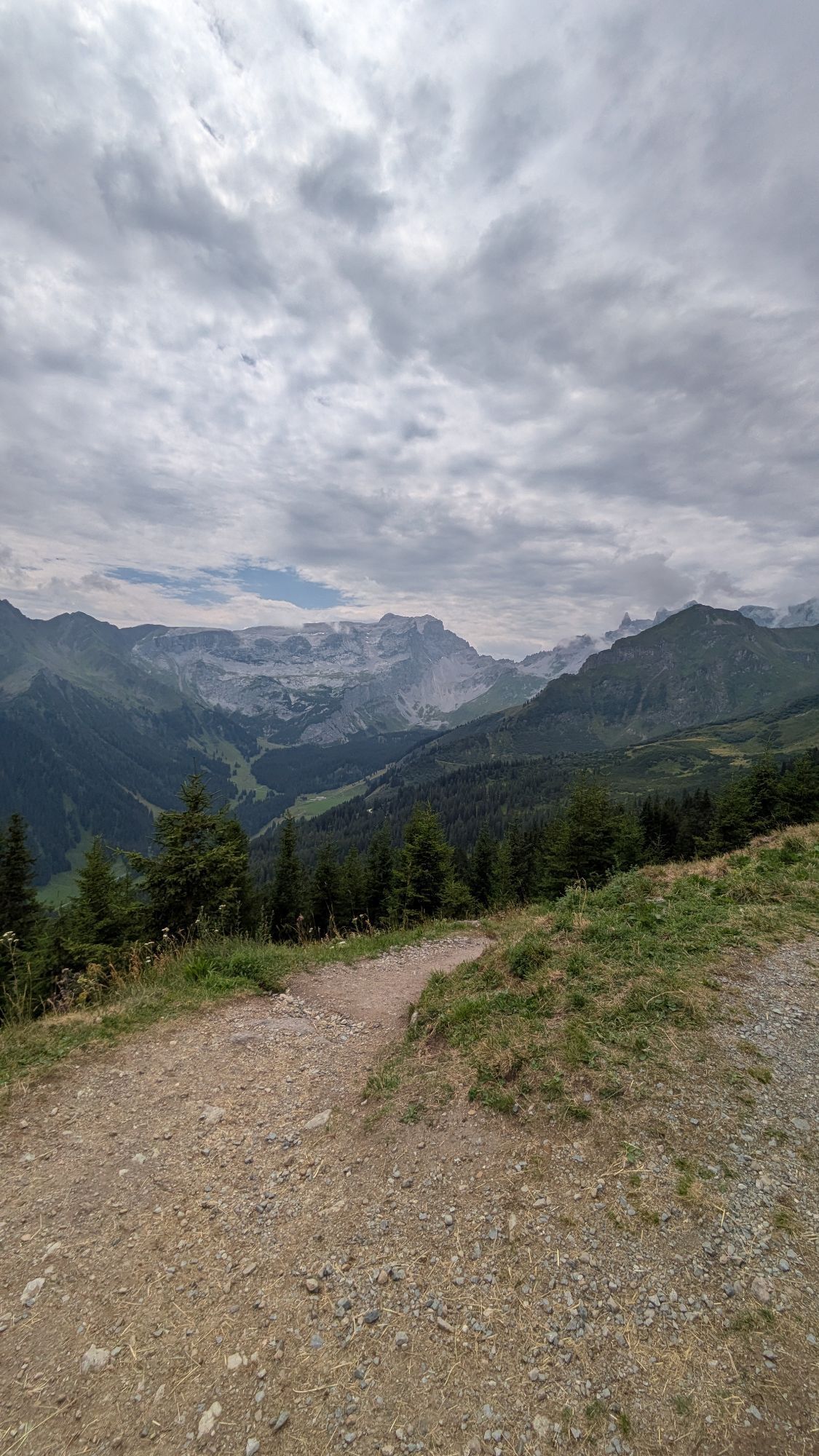
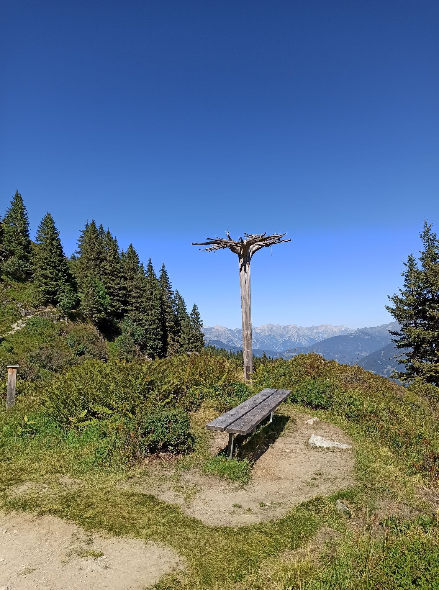
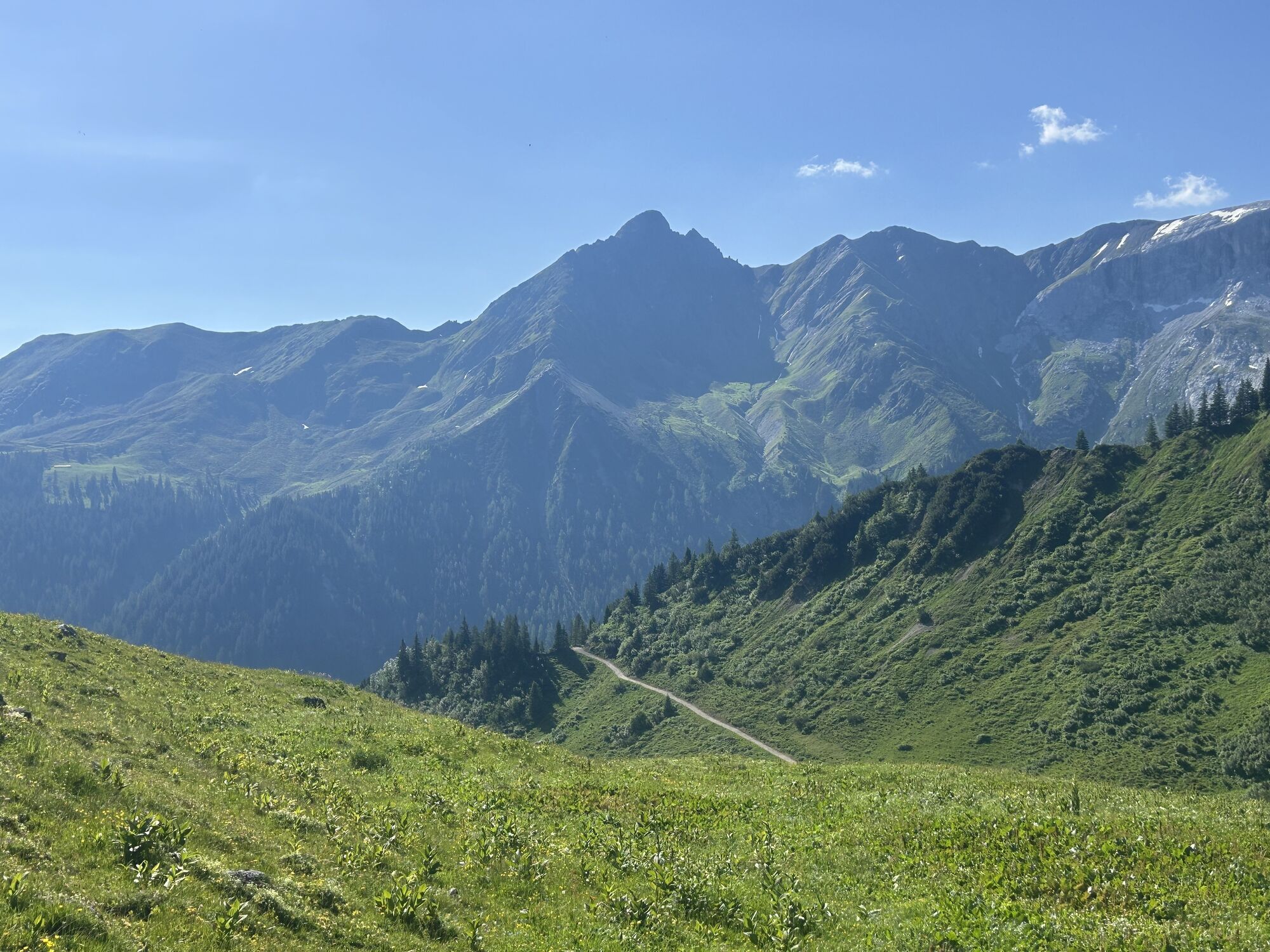
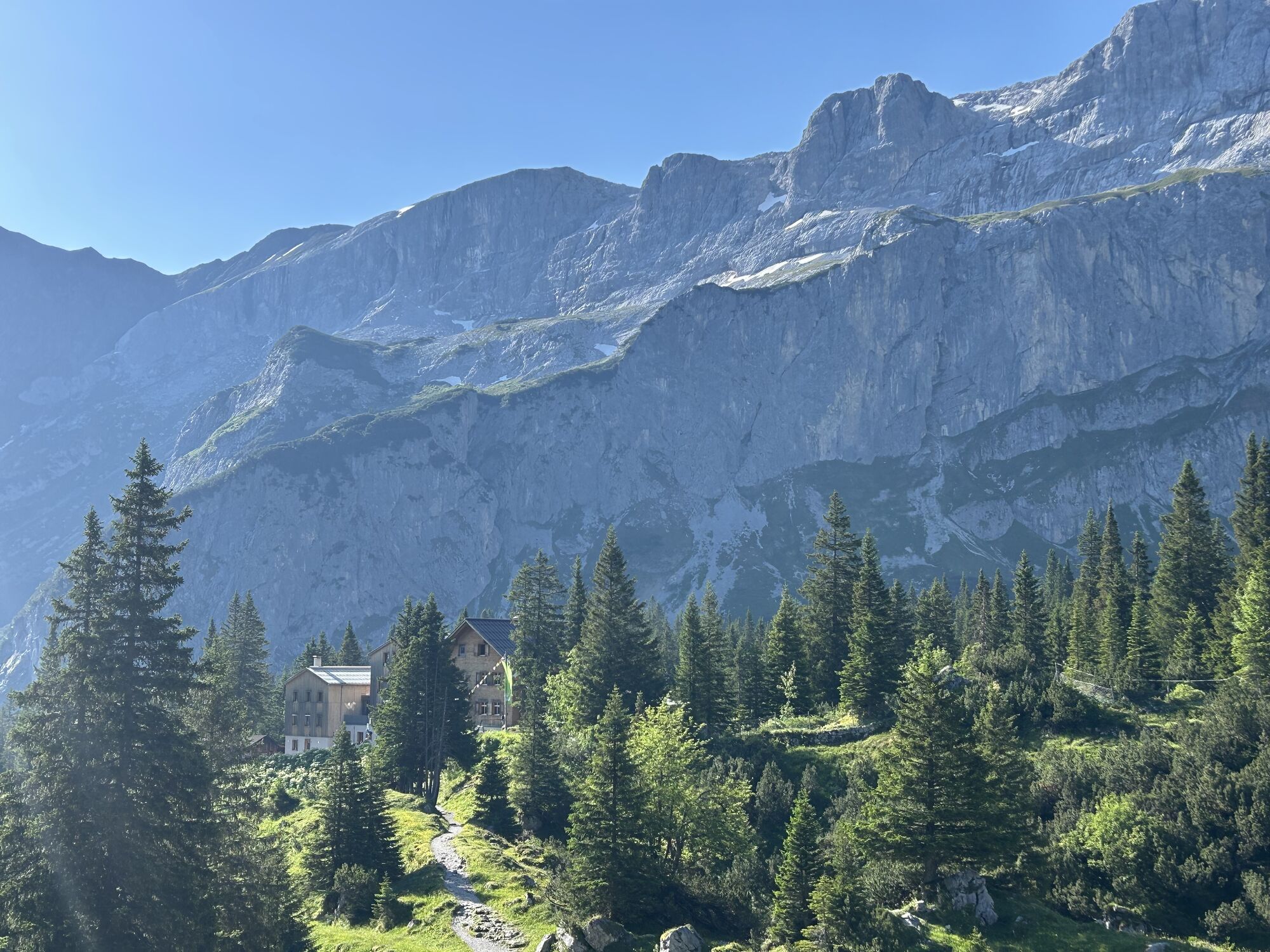
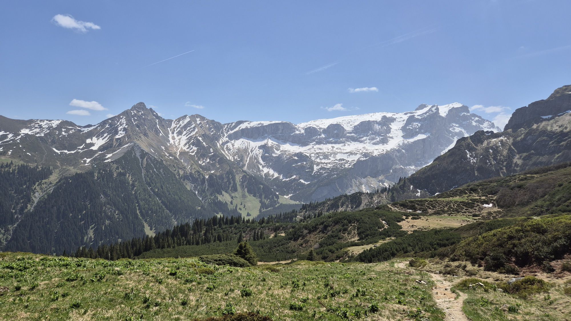
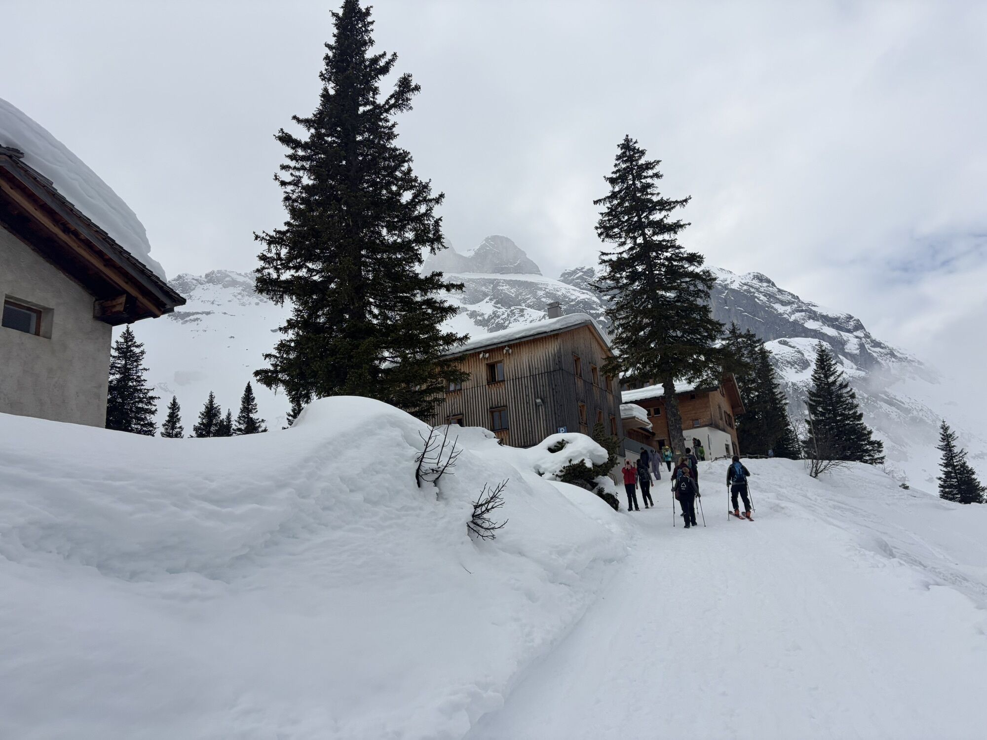
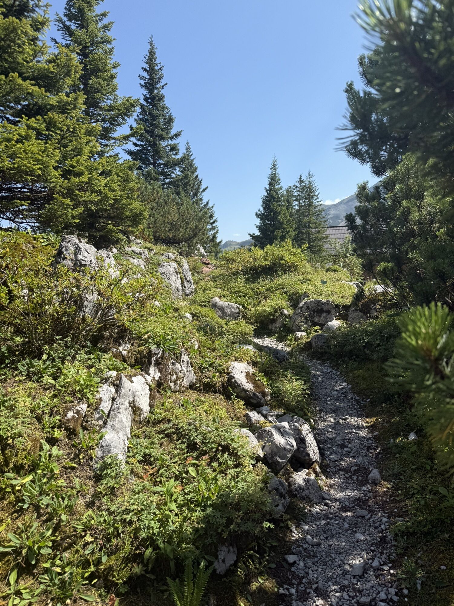
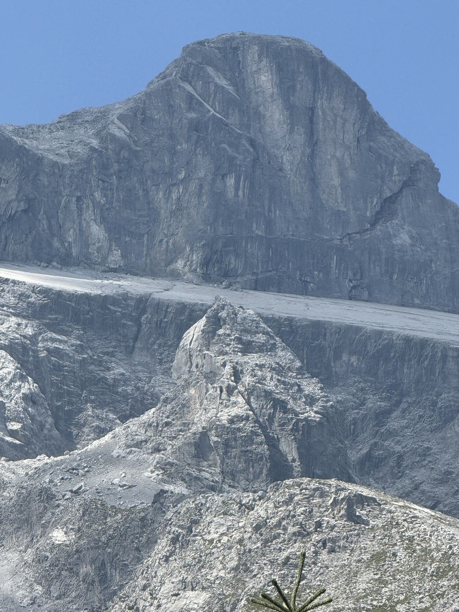
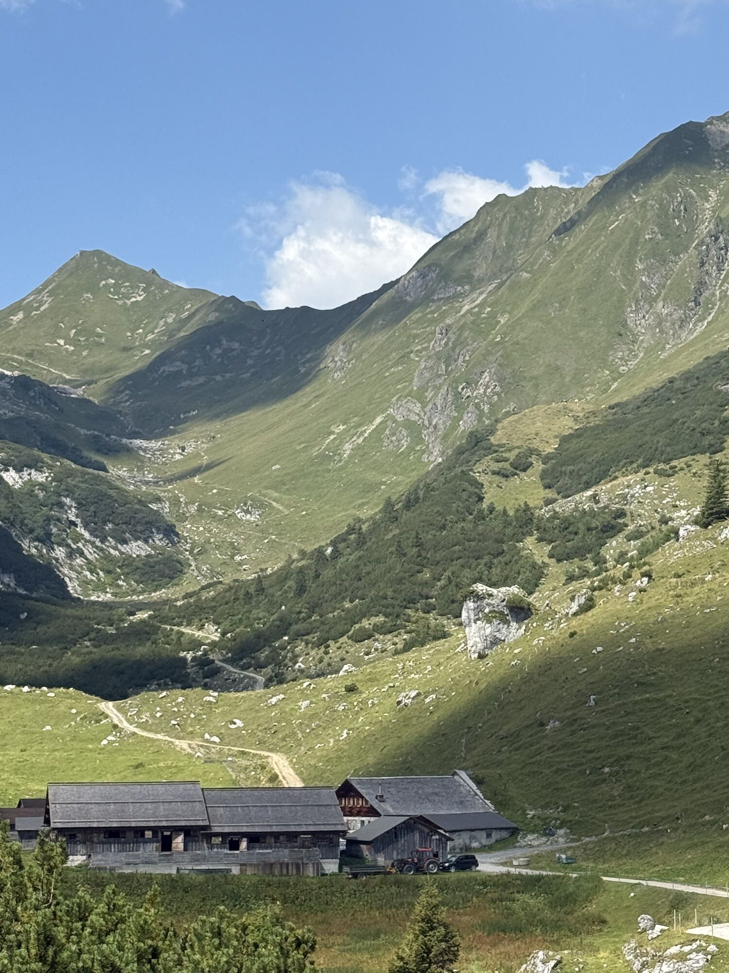
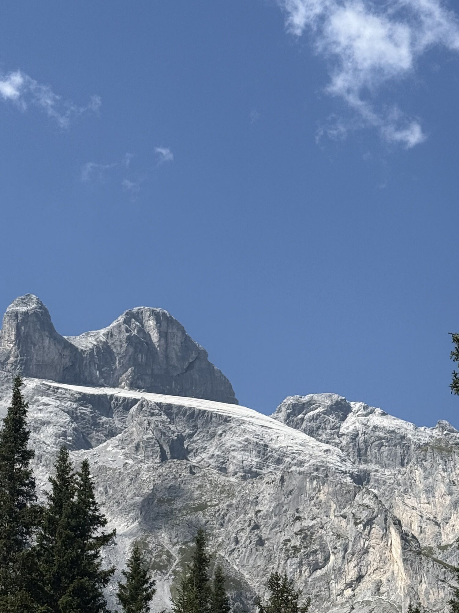
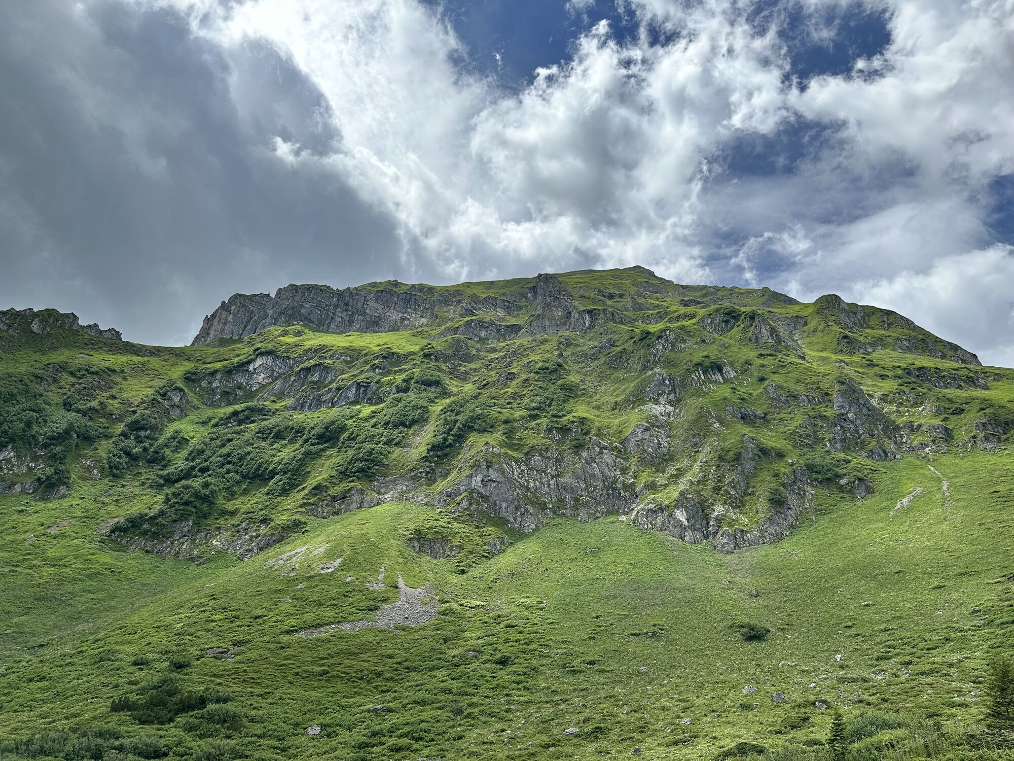
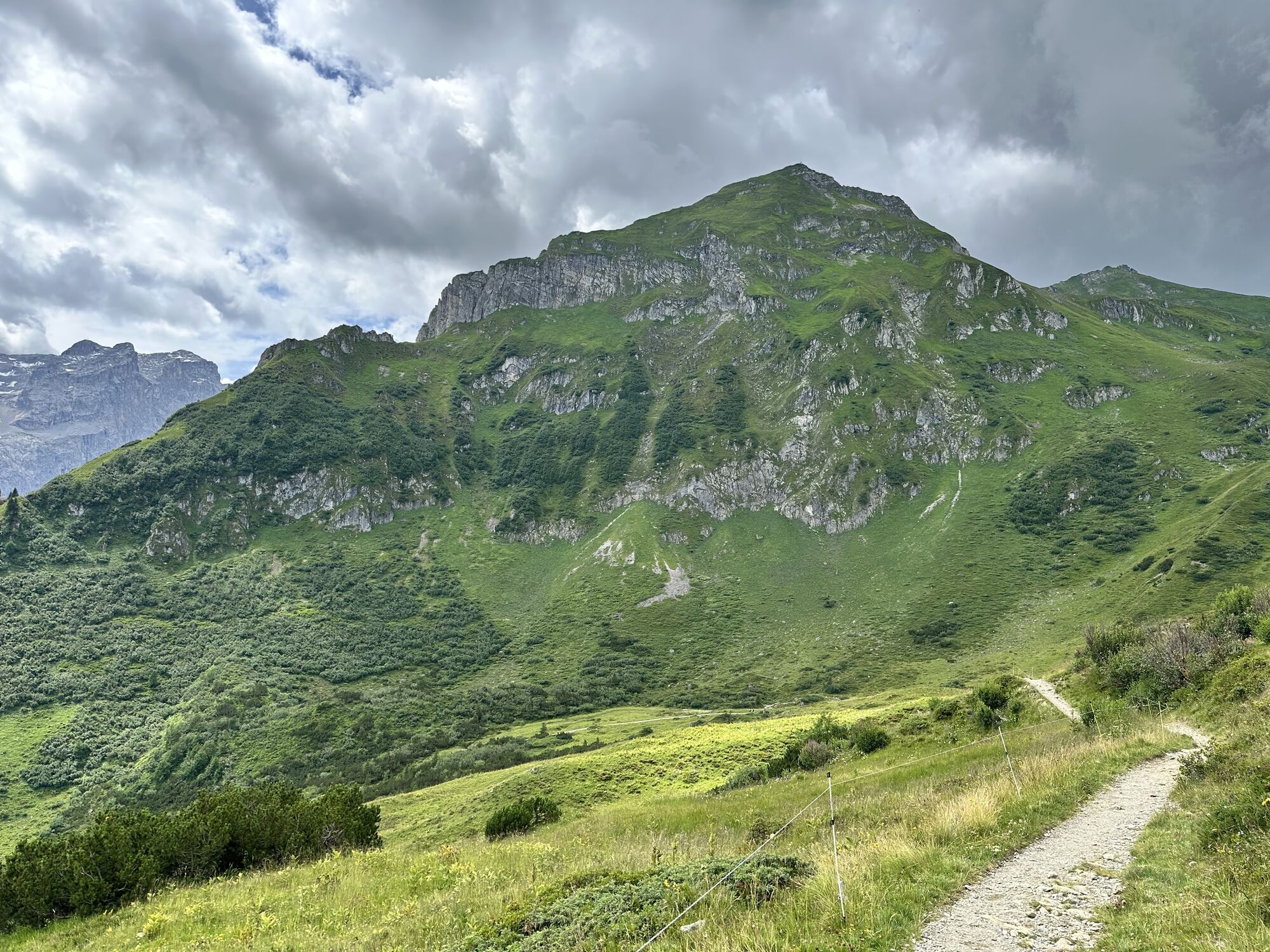
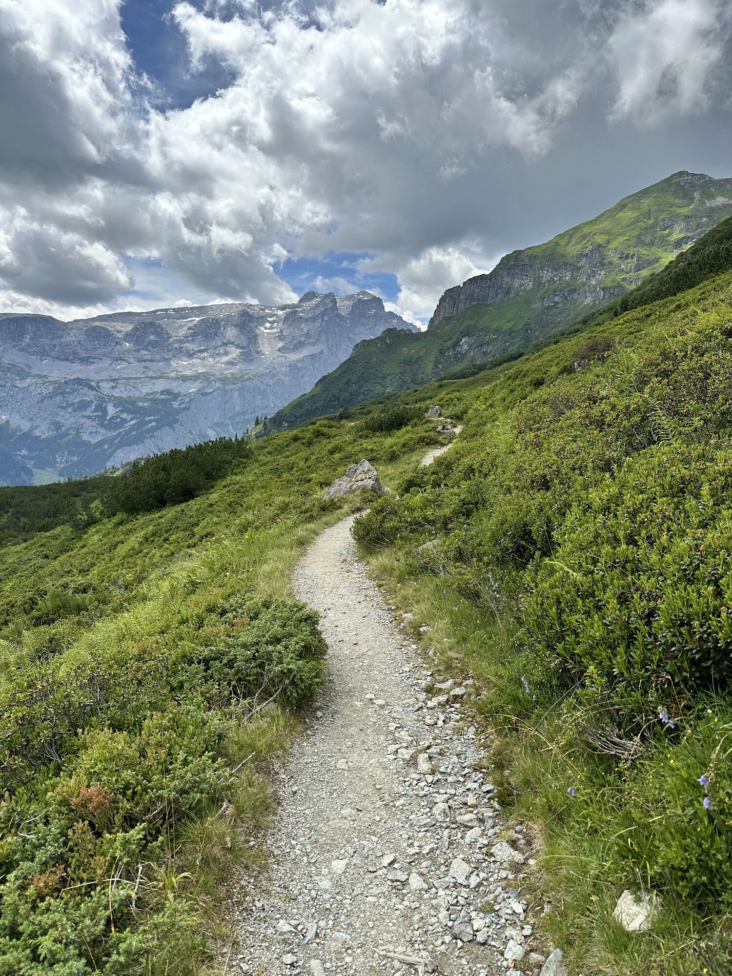
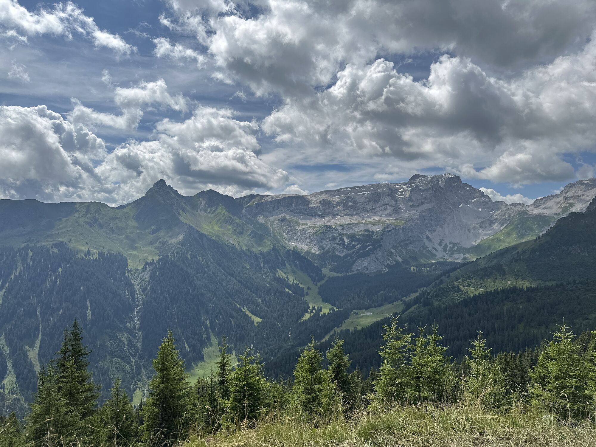
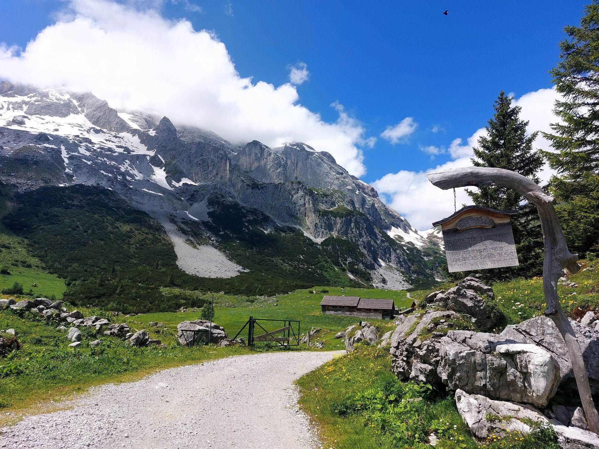

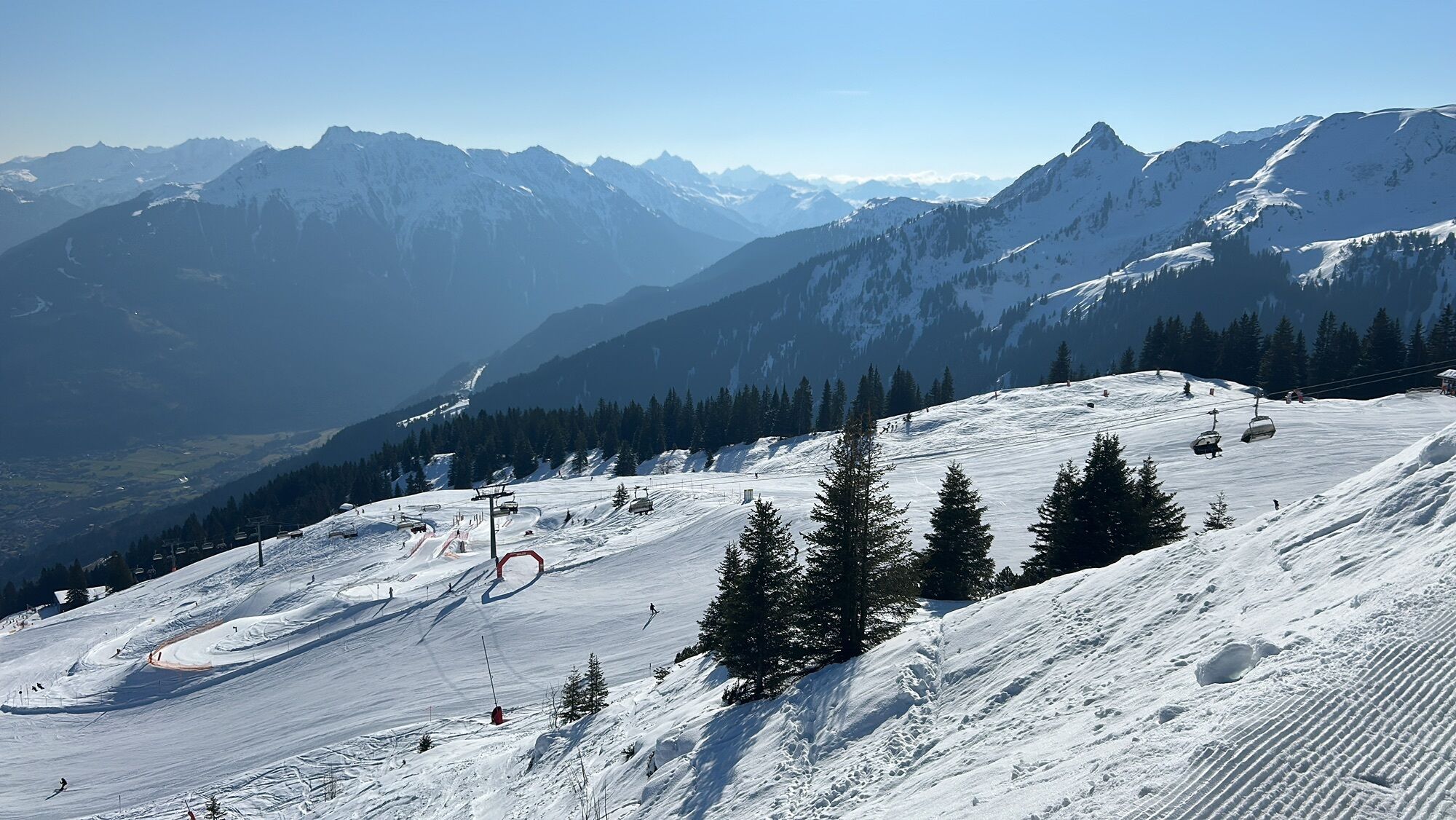
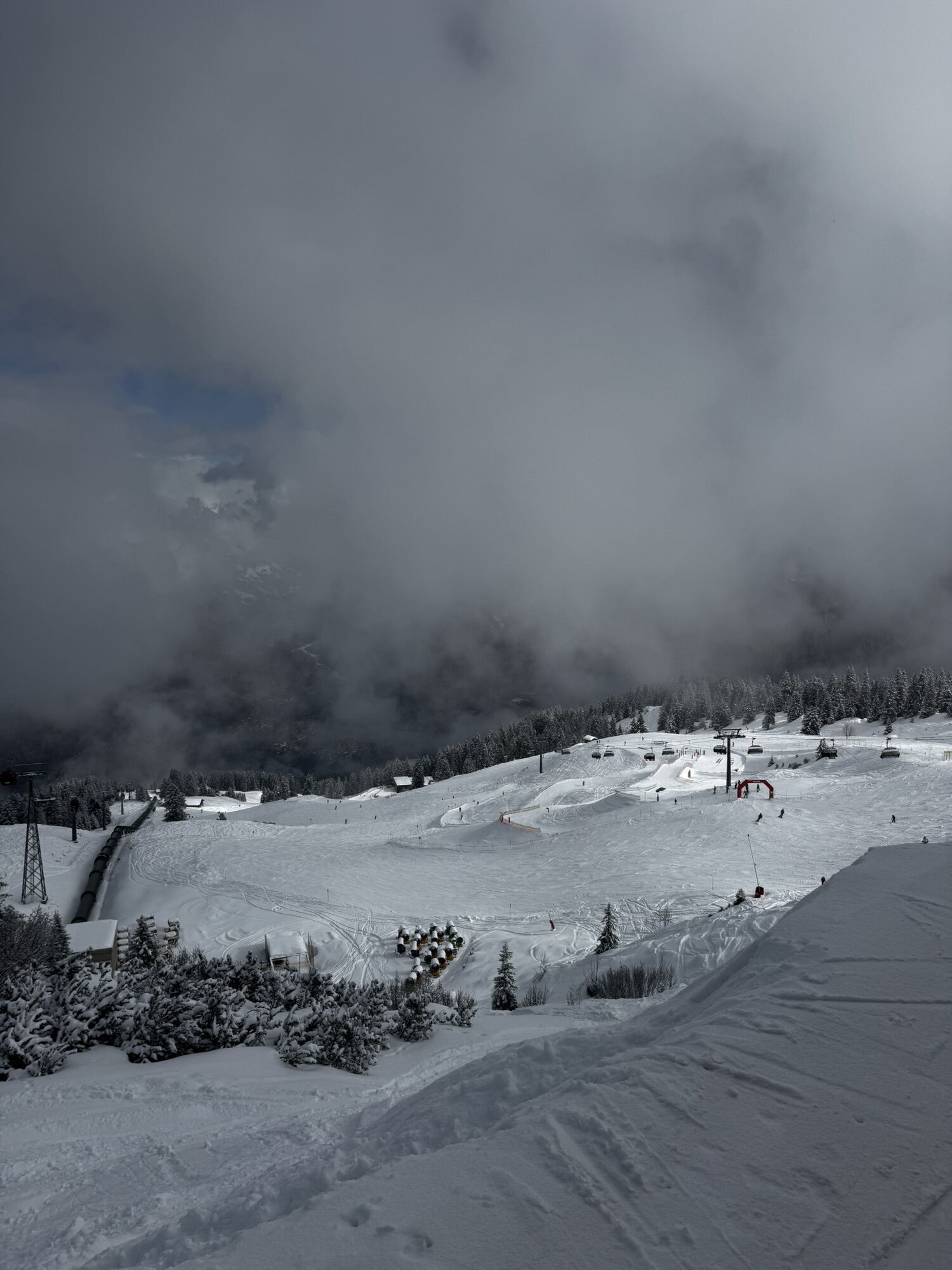
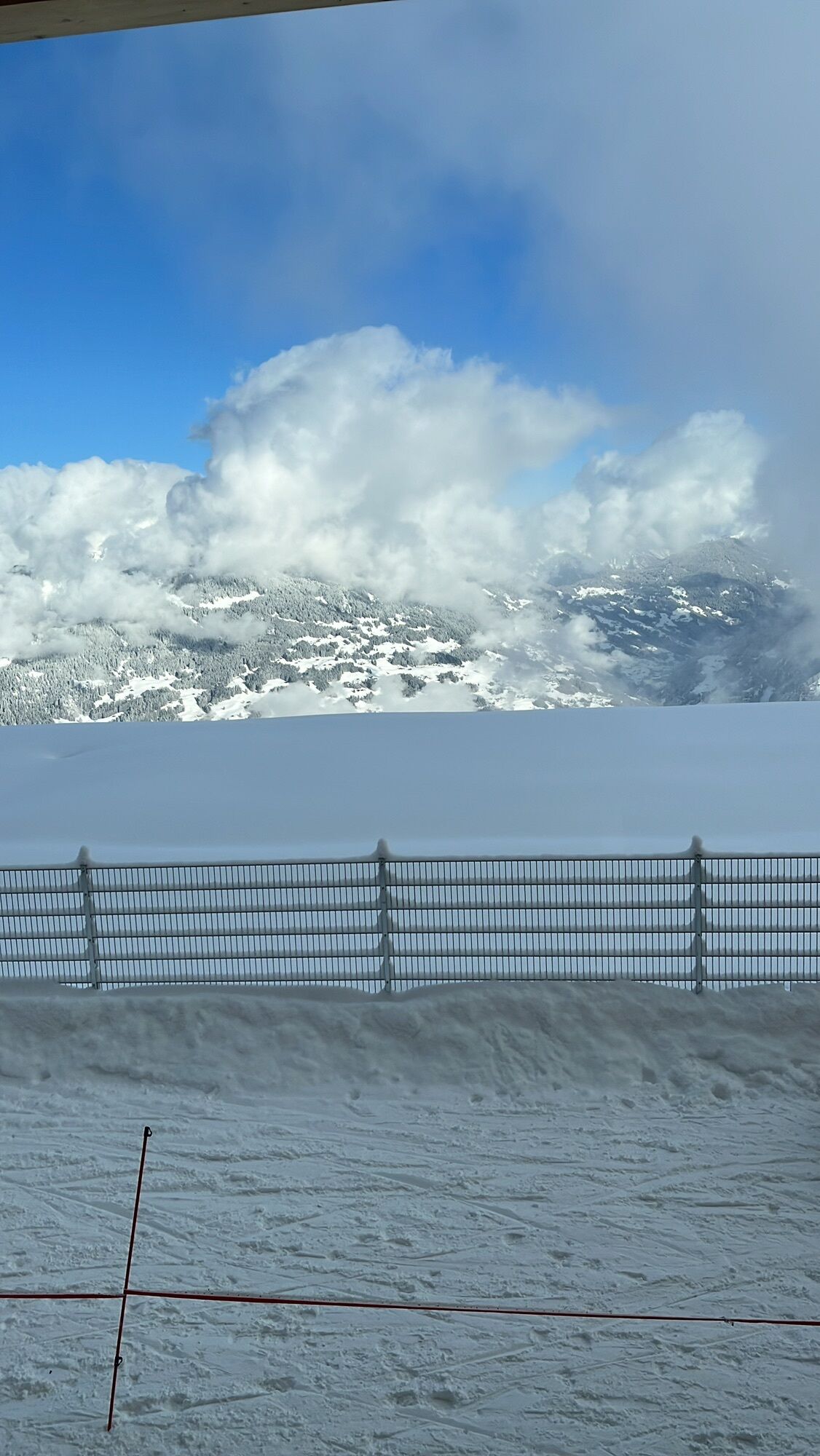

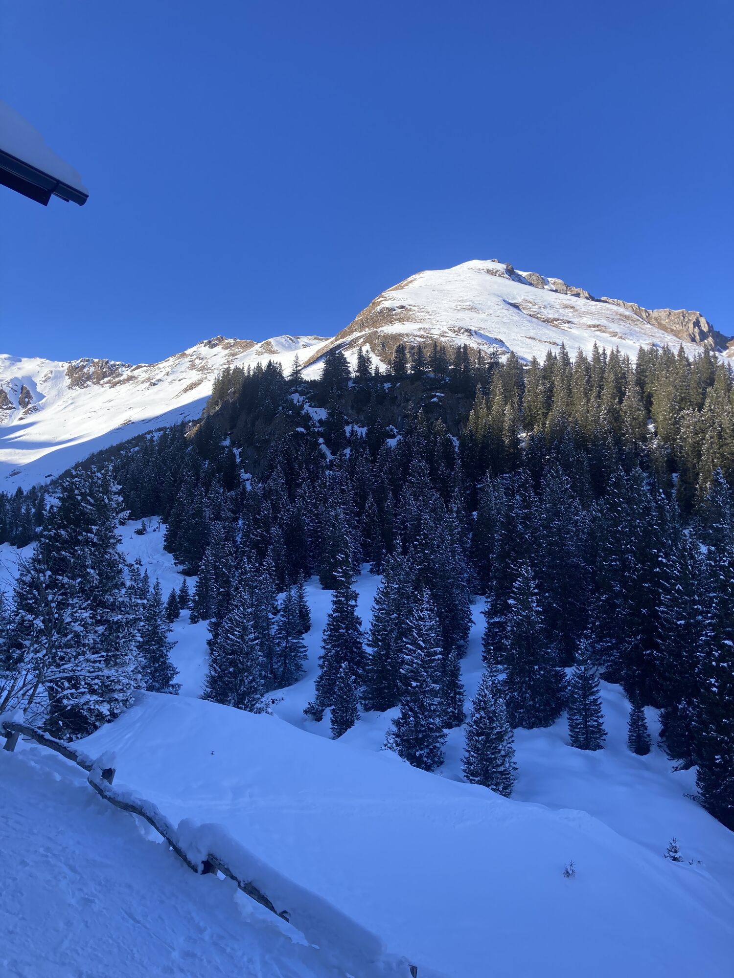
A route for mountain enthusiasts who appreciate the natural beauty of the mountains as well as refined, regional cuisine. The hiking trails lead through the diverse Rätikon. The limestone of the Rätikon...
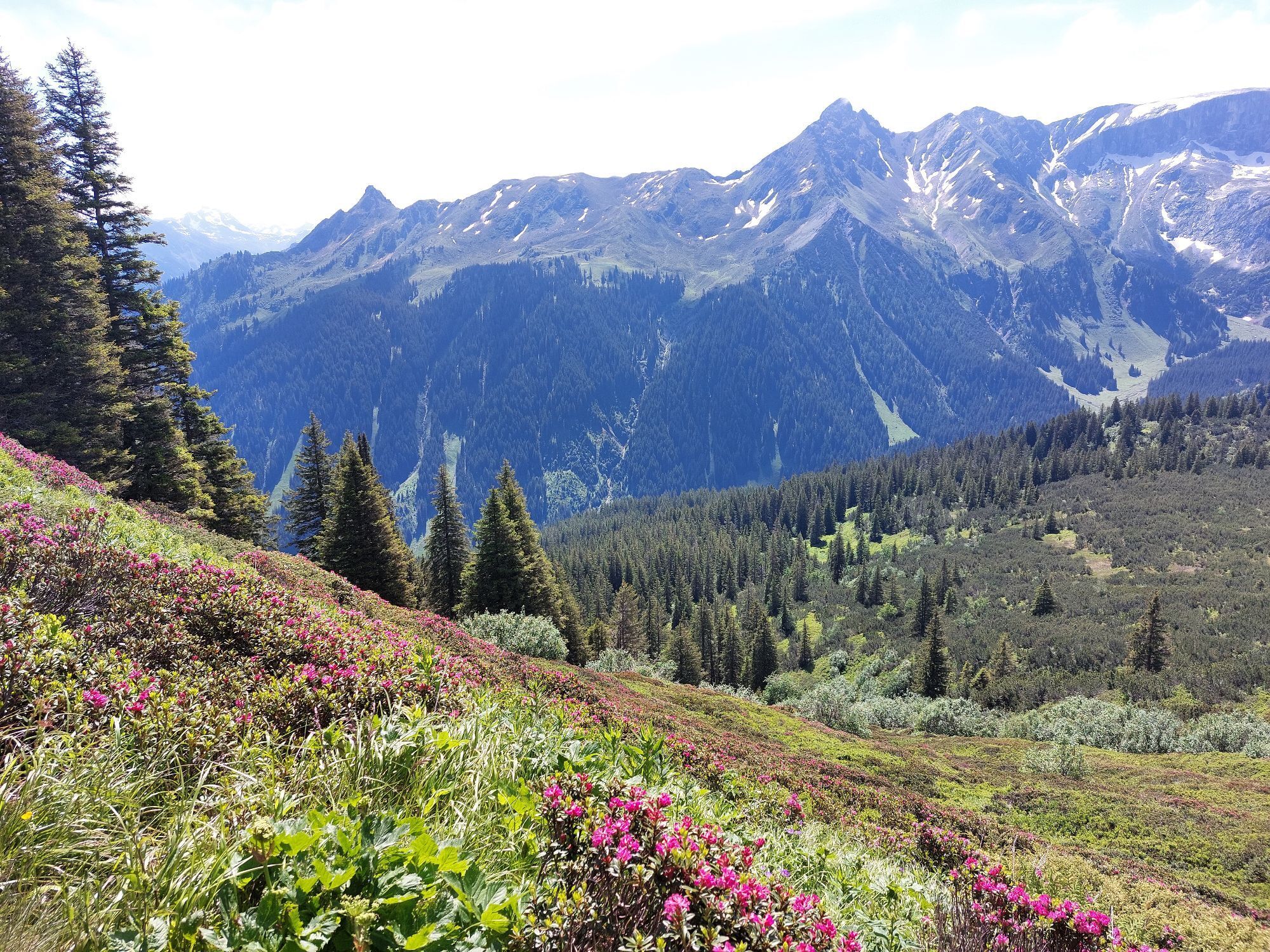
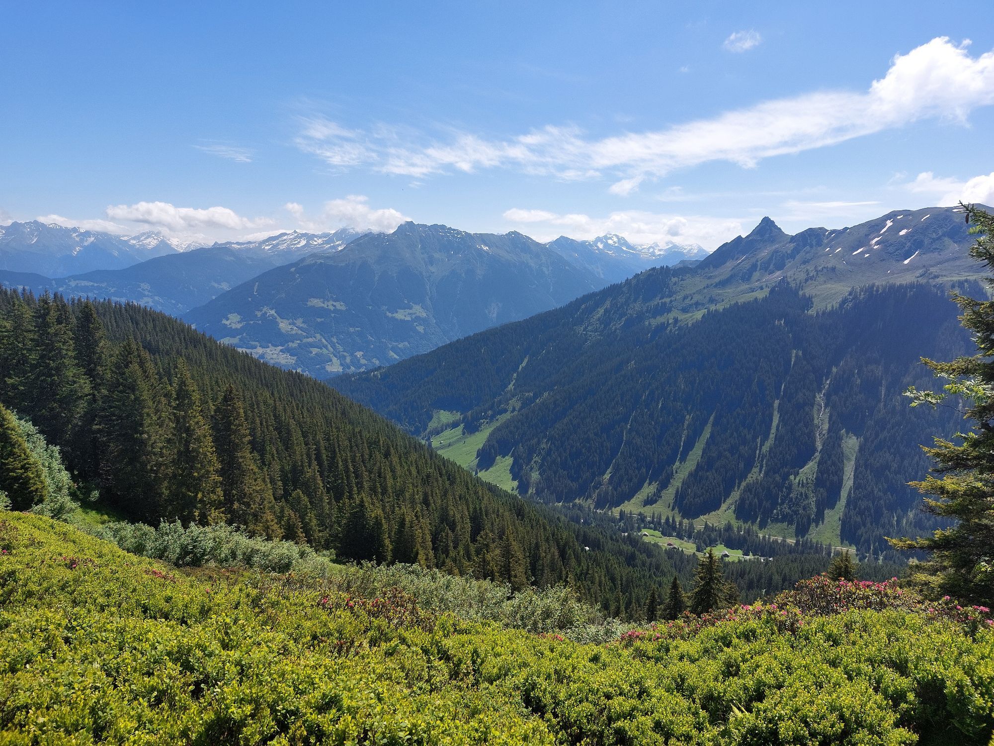
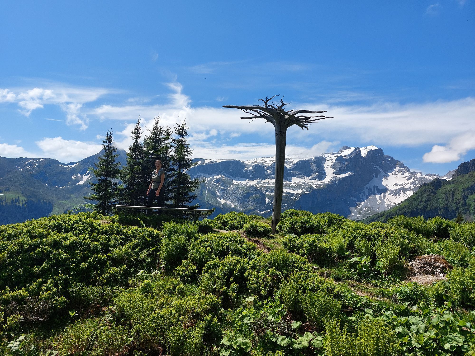
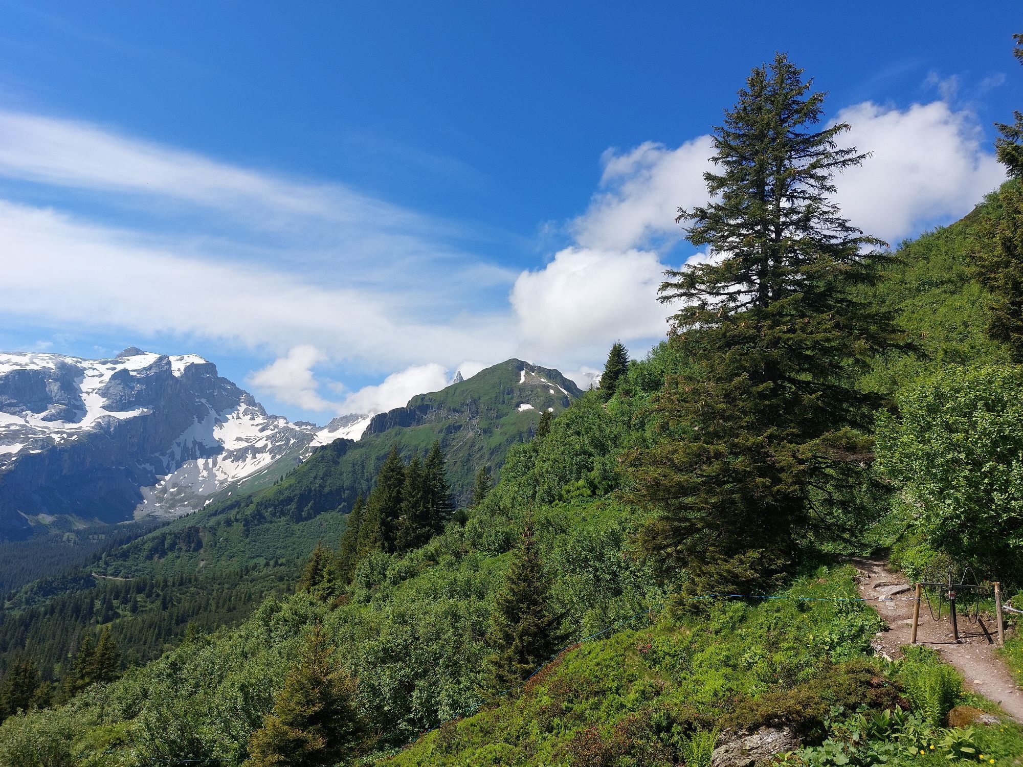
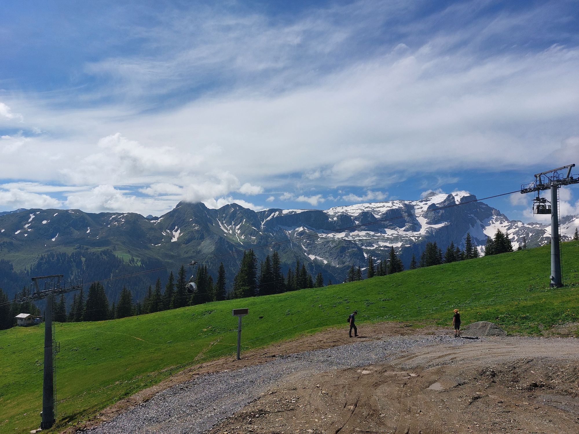
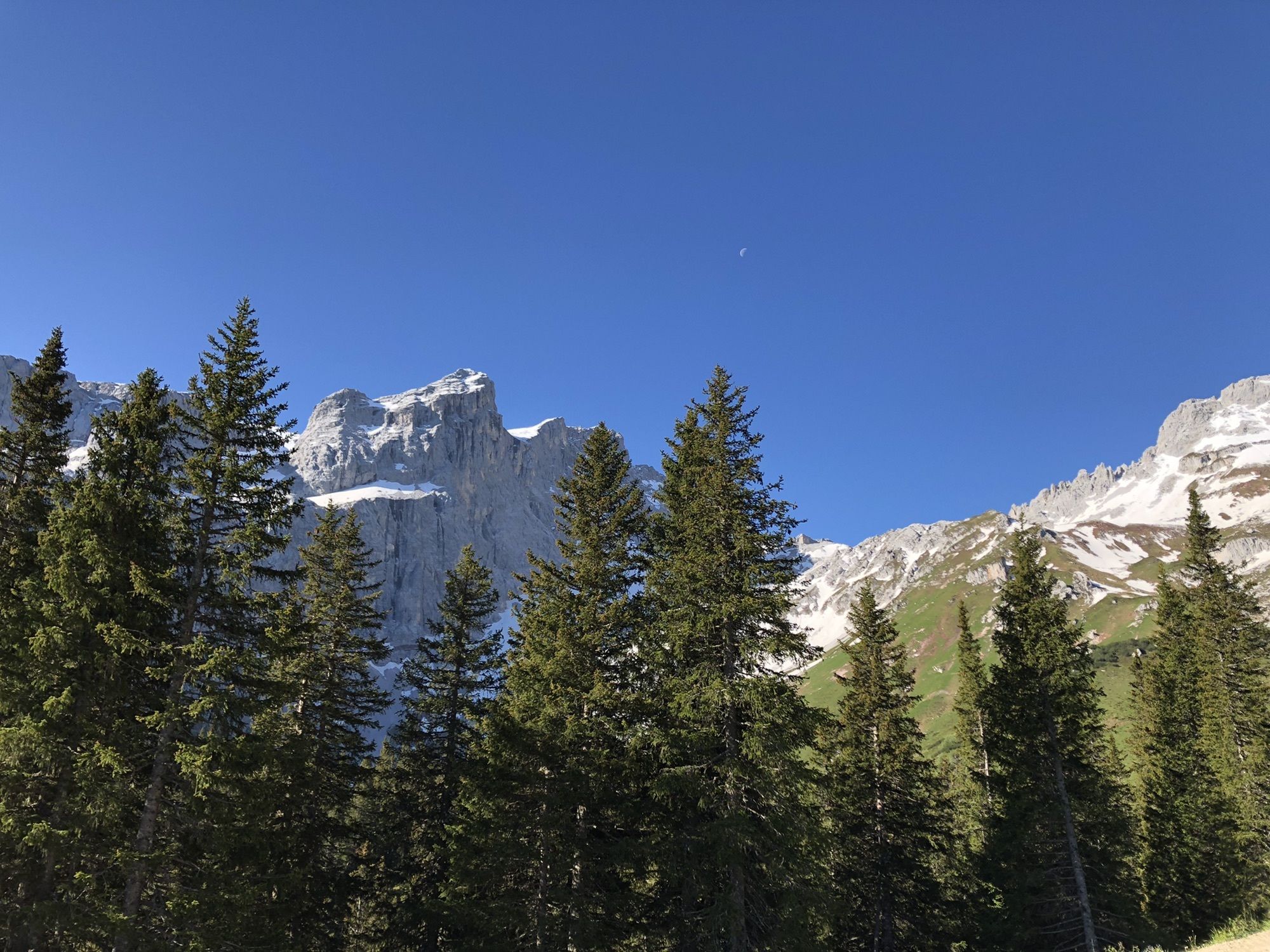
A route for mountain enthusiasts who appreciate the natural beauty of the mountains as well as refined, regional cuisine. The hiking trails lead through the diverse Rätikon. The limestone of the Rätikon in contrast to the blooming alpine meadows on the steep walls of the impressive mountain peaks.
Important: For this route, you should plan your personal daily sections and reserve overnight stays on the huts in advance!

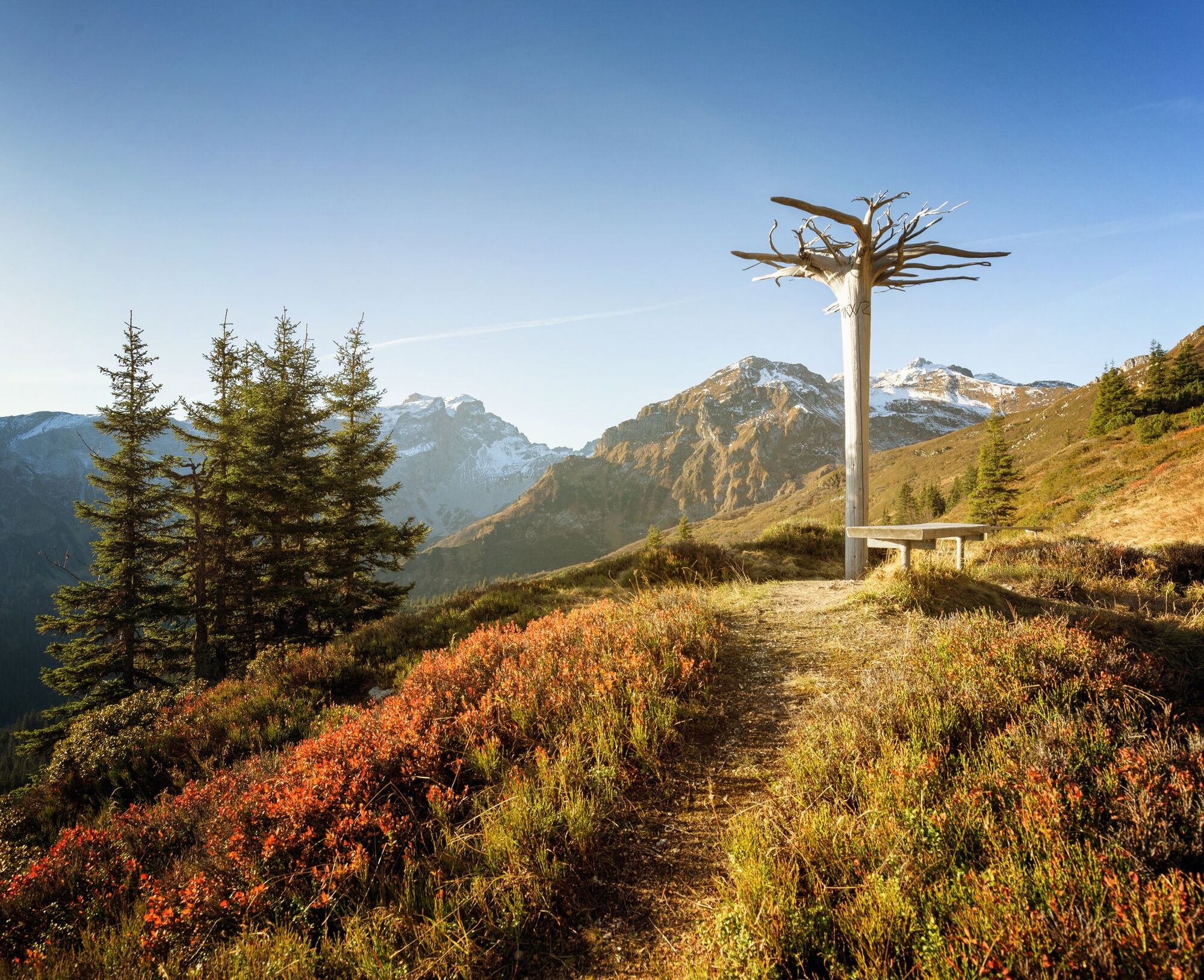
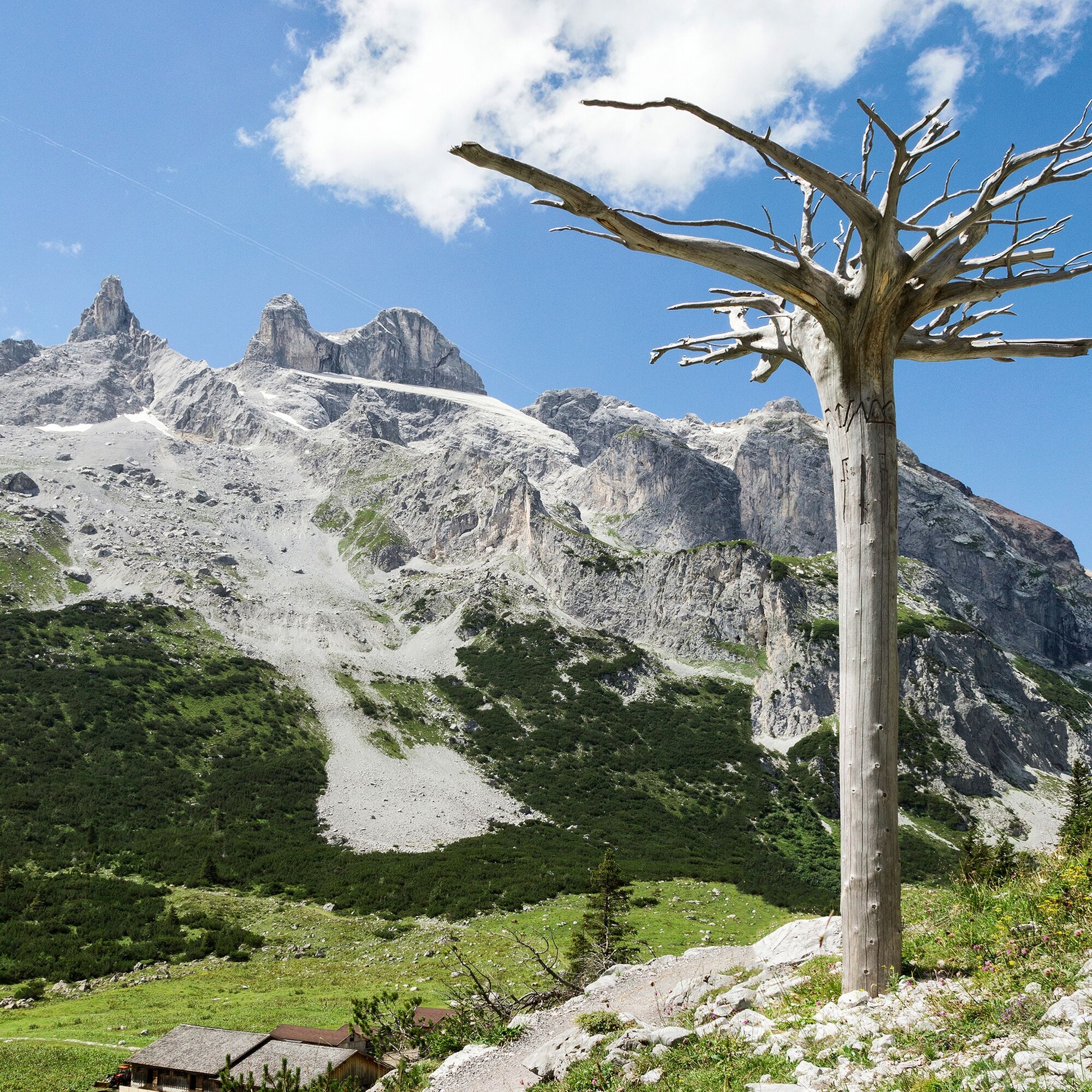
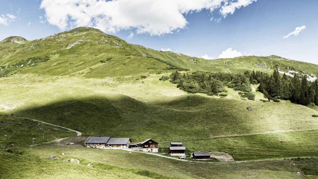
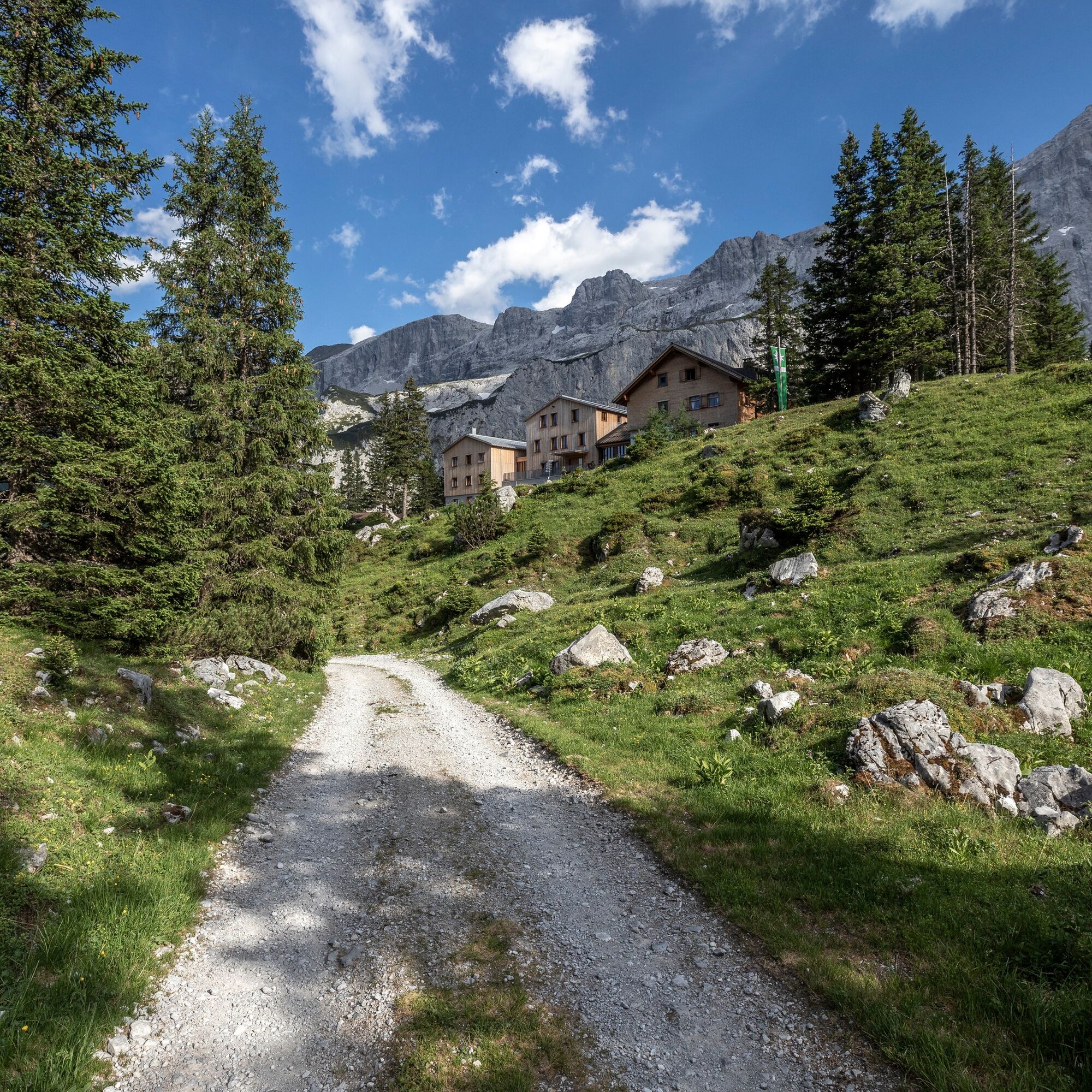

Golmerbahn mountain station - Latschätzalpe - Lindauer Hut
Bring good, ankle-high mountain boots with a good grip, enough food and drinks, hiking poles recommended.
EMERGENCY CALL: 144
European EMERGENCY: 112 (works with any mobile/ network)
Coming from Bludenz on the B188, you have to turn off at the junction on the main road before Schruns towards Tschagguns and drive on to Latschau.
Just leave your car parked
The Montafonerbahn regional buses operate throughout Montafon. The main lines run hourly from Schruns train station.
From Schruns train station, you reach the Golmerbahn in Latschau via bus line 1. The stop is: "Golmerbahn".
For the return trip
Take bus line 1 from Latschau back to Schruns train station.
Arrival by train
From Bludenz train station, the Montafonerbahn runs hourly (sometimes every half hour). There are also direct connections from Lindau (D) and Bregenz.
Here you can find your hiking parking lot.
Reservations and information for the Lindauer Hut:
Have you ever tried the Montafoner Sura Kees?


Webové kamery z prehliadky
Získajte prehľad
Vždy naživo na mieste s viac ako 9 500 webovými kamerami. bergfex Ako používateľ Pro si teraz môžete pozrieť príslušné webové kamery pre mnohé zájazdy v aplikácii zájazdy z. Môžete si tak priamo prezerať aktuálne podmienky.


Obľúbené výlety v okolí
-
4,8
Douglashütte - Schesaplana
strednáTuristika 7,31 km -
5,0
Ski tour to the Lindauer Hut (1,744 m)
svetloSkitour 14,0 km -
4,7
Smuggler’s path
strednáTematická trasa 8,60 km -
5,0
Bürs, Bürserschlucht Bürs, Vorarlberg
strednáTuristika 5,31 km -
4,6
Over the historic mine and Fritzensee to Rellseck
strednáTuristika 7,25 km -
4,4
Golm-Rundwanderweg im Rätikon
strednáTematická trasa 7,28 km -
4,9
Douglasshütte, Lünersee, Gafalljoch Brand bei Bludenz, Vorarlberg
svetloTuristika 9,16 km -
4,3
Mondspitze (Montspitze)
strednáTuristika 7,97 km -
4,3
Golmerbahn Bergstaion Grüneck - Golmer Höhenweg - Geißspitze - Lindauer Hütte - Latschau
strednáTuristika 11,5 km -
4,9
Alpgues Runde
strednáTuristika 9,21 km
Turistika a stopovanie


Nenechajte si ujsť ponuky a inšpiráciu na ďalšiu dovolenku
Vaša e-mailová adresa bol pridaný do poštového zoznamu.





