







Schruns to St. Gallenkirch
Úroveň náročnosti: 3
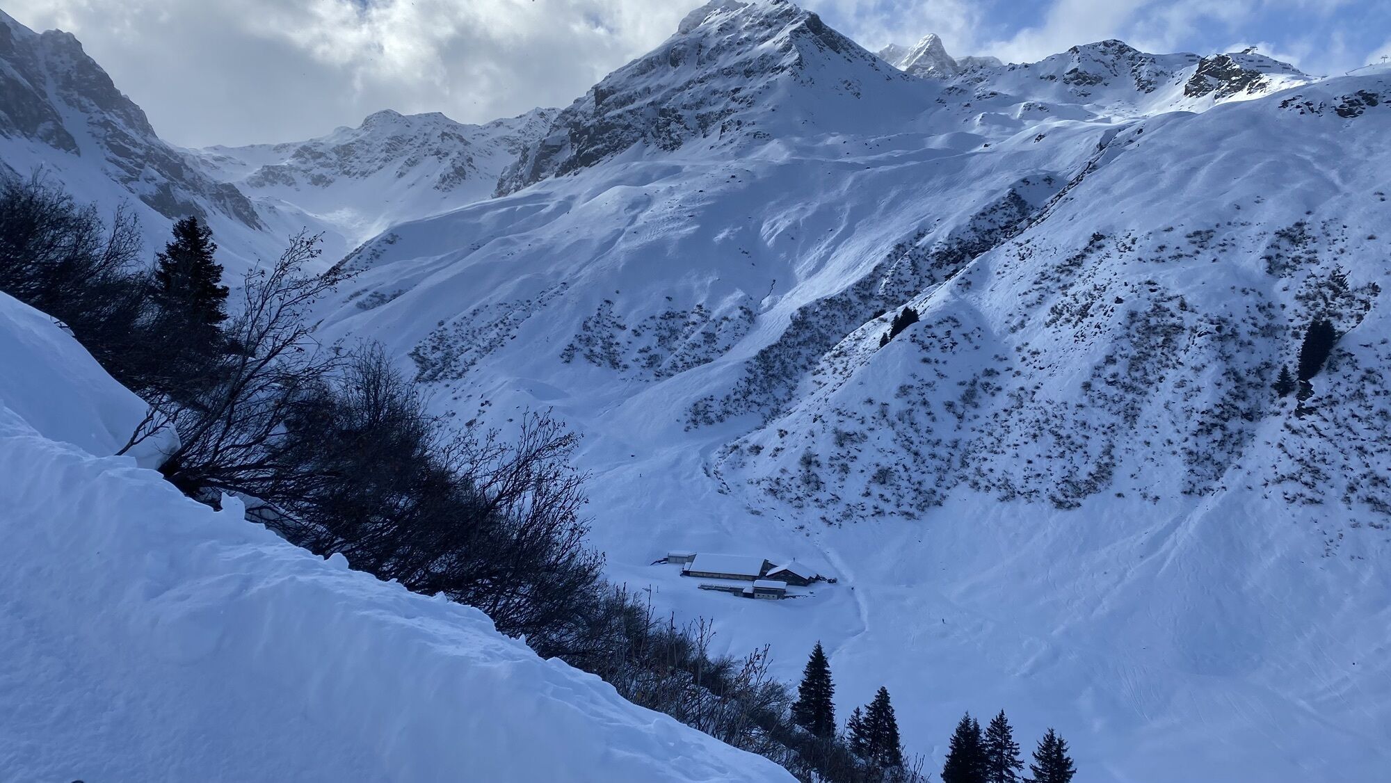
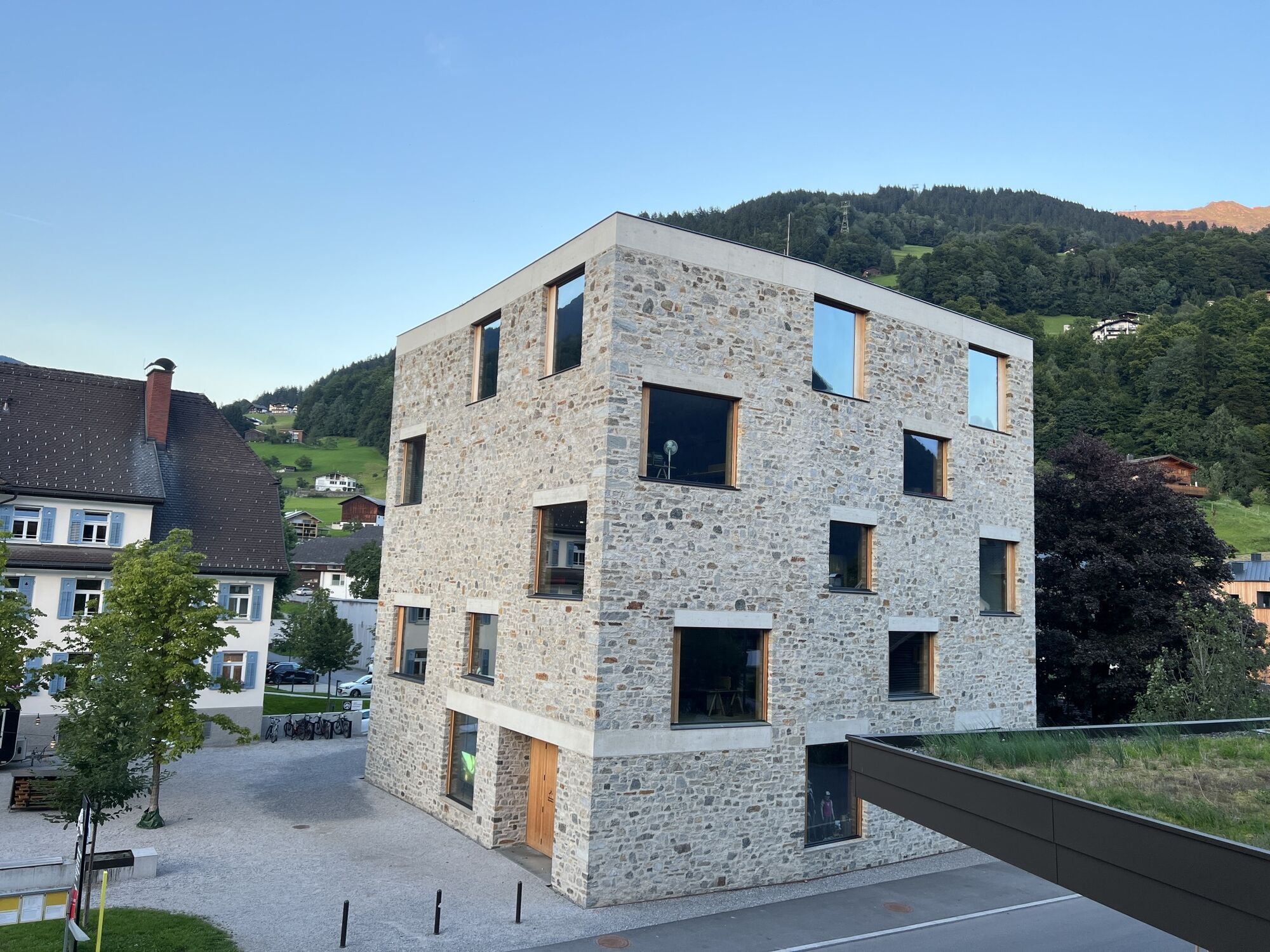
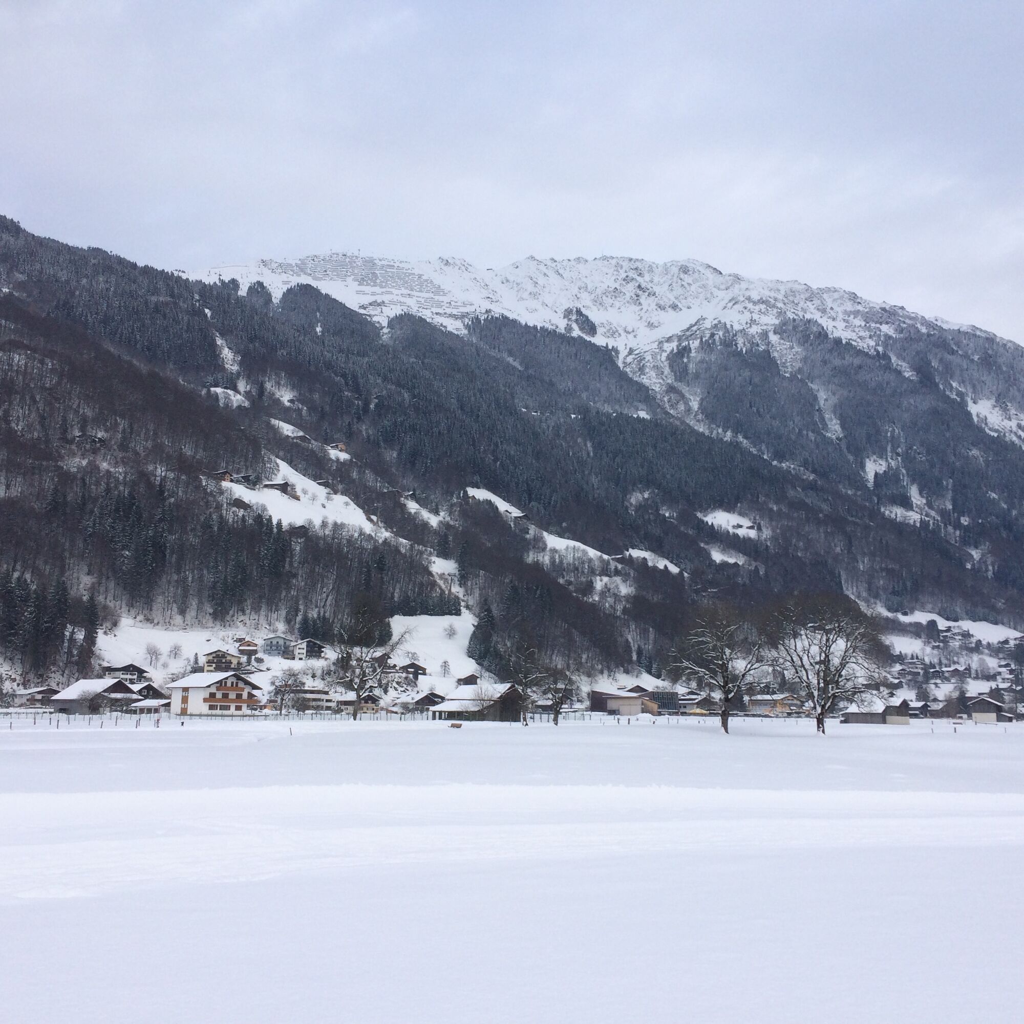

From Kirchplatz in Schruns walk towards Hotel Zimba - before the hotel turn left and immediately after turn right. Follow this path through the Schrunser field, at the end of the path turn right and enter the Wagenweg. Turn left. Cross the main road and reach the Aktivpark. Walk along Illweg on the bike path via Mauren to Galgenul - turn left and reach St. Gallenkirch center with a final short climb. Either return the same way or take the bus back to Schruns.
Please wear sturdy footwear suitable for the conditions.
EMERGENCY CALL:
140 Alpine emergencies Austria-wide
144 Alpine emergencies Vorarlberg
112 European emergency number (works with any mobile phone/network)
www.vorarlberg.travel/sicherheitstipps
Drive on the A14 to the Bludenz/Montafon exit and continue on Montafonerstraße L188 to Schruns.
Just leave your car behind
The regional buses operate throughout the Montafon. The main lines run every half hour from Schruns station.
Bus stop at the start of the route: Schruns station / s4 (Montafonerbahn), line 1, line 2a, line 2b, line 84, line 85, line 87, line 88
Bus stop at the end of the route: St. Gallenkirch center / line 85
Timetable: www.vmobil.at
Arrival by train to Montafon
From Bludenz station, the Montafonerbahn runs hourly (sometimes every half hour). There are also direct connections from Lindau (D) and Bregenz.
Timetable: www.oebb.at
Parking is available in the center of Schruns (paid).
3
This route is shown on the overview map "Aktivkarte Schnee" with the pink number 30. The map is available free of charge at the Montafon tourist offices.
Webové kamery z prehliadky
-
Hochjoch Bahn Bergstation
-
Matschwitz Mittelstation
-
Bergstation Hochalpila Bahn
-
Innerberg
-
Golm - Matschwitz
-
Silvretta-Montafon - Panorama Bahn
-
Silvretta-Montafon - Nova Stoba
-
Bartholomäberg
-
St.Gallenkirch - Pension Rudigier
-
Tschagguns
-
Gortipohl - Gasthaus Muntafuner Stöbli
-
Schruns
-
Bartholomäberg - Ferienhotel Fernblick
-
Gortipohl Landhaus Rudigier
-
Wormserhütte
-
Wormserhütte
-
Kapellbahn
-
Schlepplift Innerbach
-
Vermiel, Garfrescha
-
Silvretta-Montafon - Valisera Berg
-
Bartholomäberg - Ferienhotel Fernblick
-
Bartholomäberg - Ferienhotel Fernblick
-
Bartholomäberg - Ferienhotel Fernblick
Získajte prehľad
Vždy naživo na mieste s viac ako 9 500 webovými kamerami. bergfex Ako používateľ Pro si teraz môžete pozrieť príslušné webové kamery pre mnohé zájazdy v aplikácii zájazdy z. Môžete si tak priamo prezerať aktuálne podmienky.

Obľúbené výlety v okolí
-
5,0
Ski tour to the Lindauer Hut (1,744 m)
svetloSkitour 14,0 km -
4,7
Smuggler’s path
strednáTematická trasa 8,60 km -
4,4
Golm-Rundwanderweg im Rätikon
strednáTematická trasa 7,28 km -
4,9
Douglasshütte, Lünersee, Gafalljoch Brand bei Bludenz, Vorarlberg
svetloTuristika 9,16 km -
4,6
Over the historic mine and Fritzensee to Rellseck
strednáTuristika 7,25 km -
4,3
Golmerbahn Bergstaion Grüneck - Golmer Höhenweg - Geißspitze - Lindauer Hütte - Latschau
strednáTuristika 11,5 km -
4,7
Kristberg - Wasserstubental - Silbertal
svetloTuristika 13,8 km -
4,5
Madrisella summit path
strednáTematická trasa 10,8 km -
4,8
Heilbronner lodge
strednáTuristika 13,0 km -
4,9
Alpgues Runde
strednáTuristika 9,21 km
Turistika a stopovanie


Nenechajte si ujsť ponuky a inšpiráciu na ďalšiu dovolenku
Vaša e-mailová adresa bol pridaný do poštového zoznamu.





