







Moosalp - Augstbordhorn - Moosalp

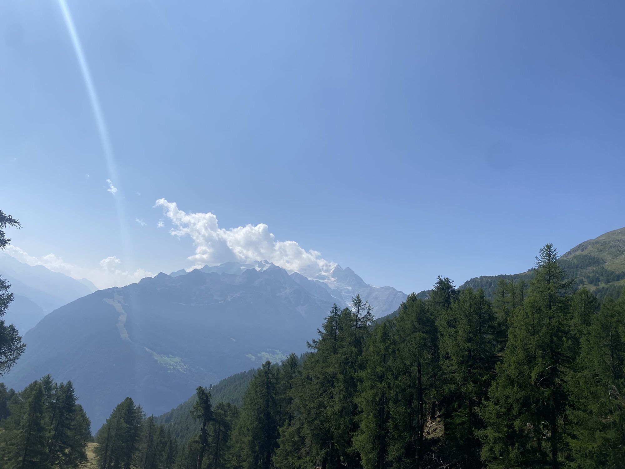
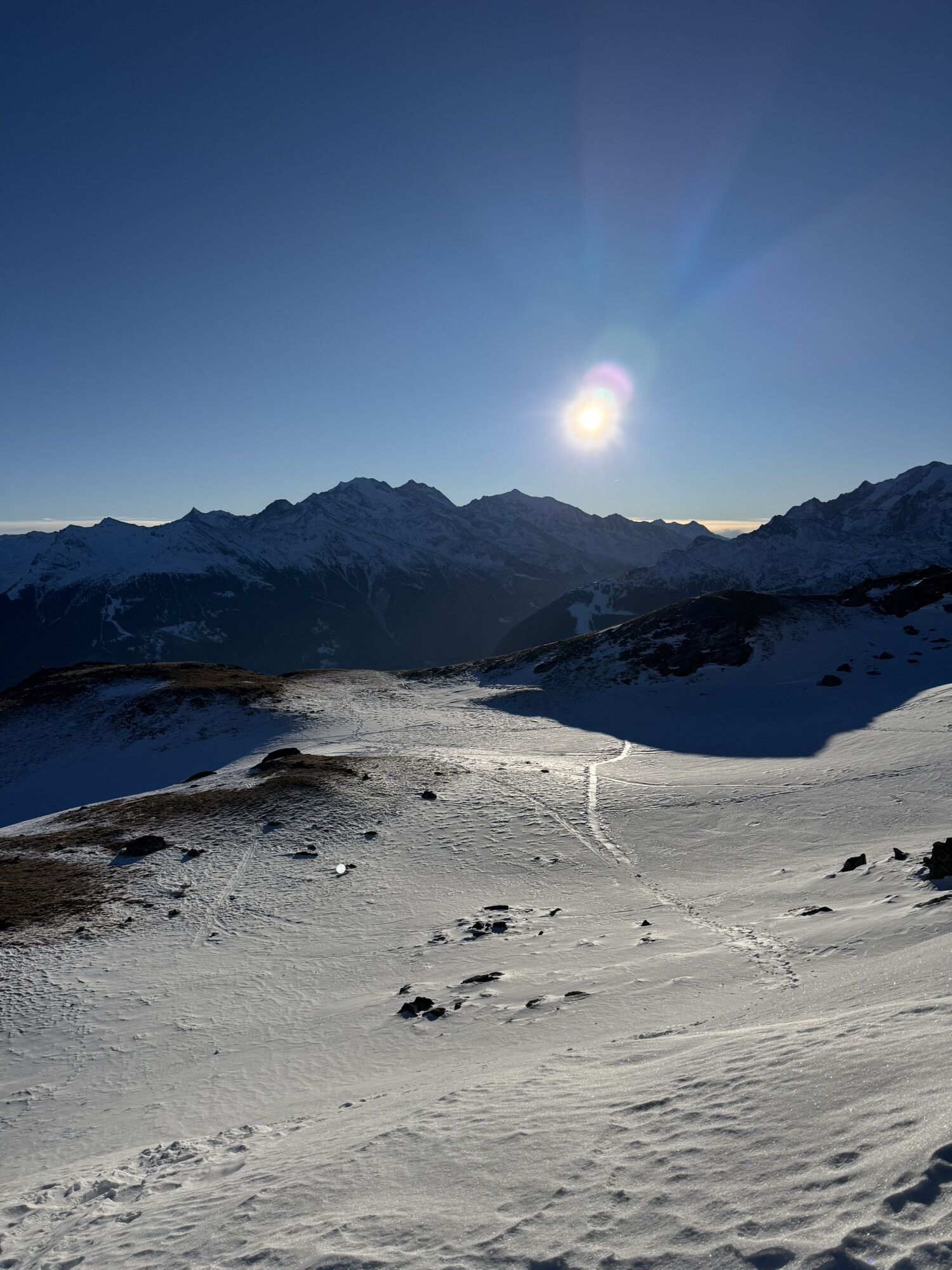
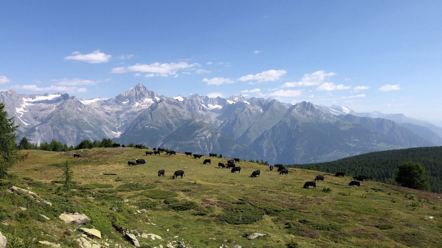
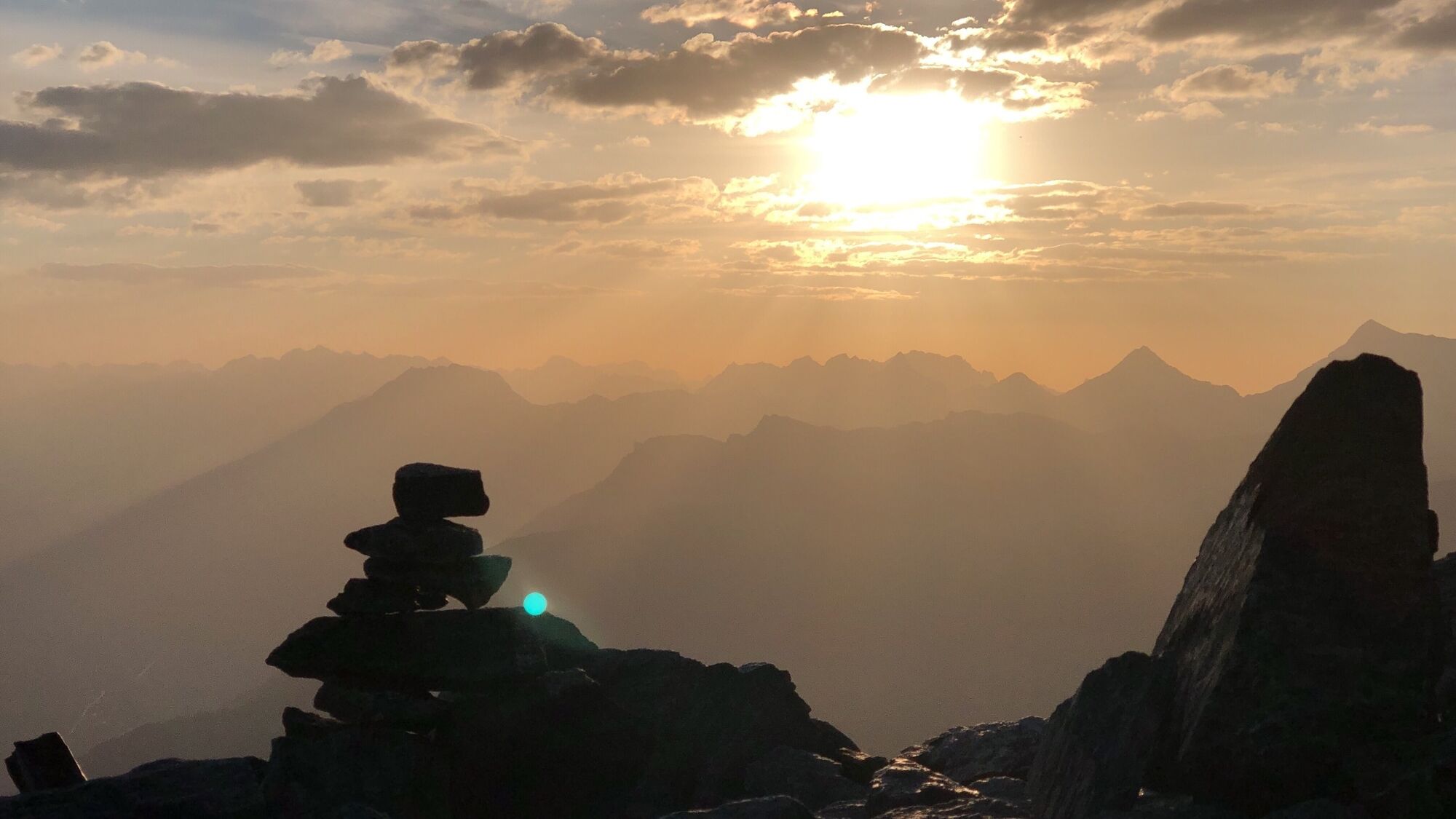
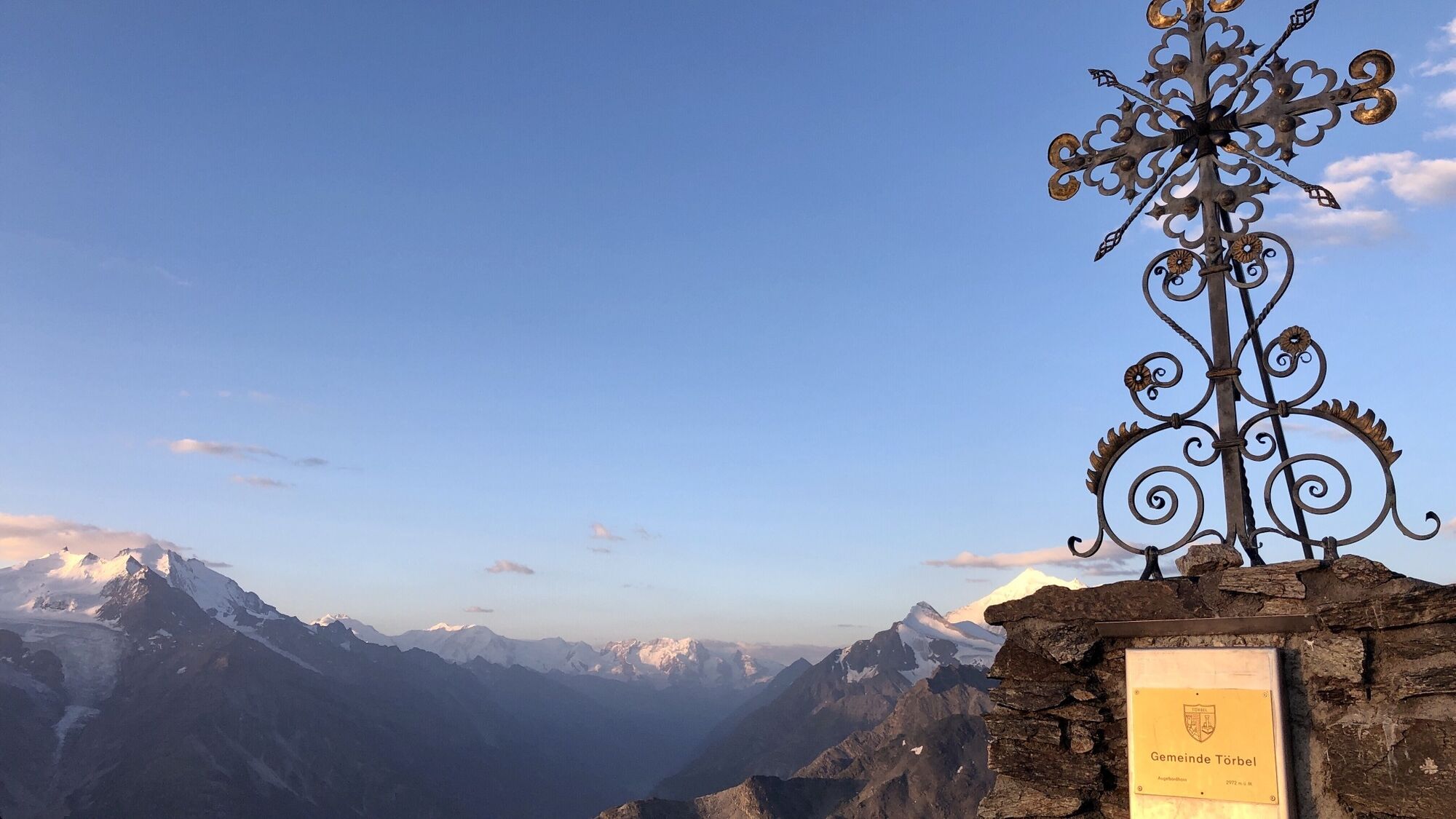
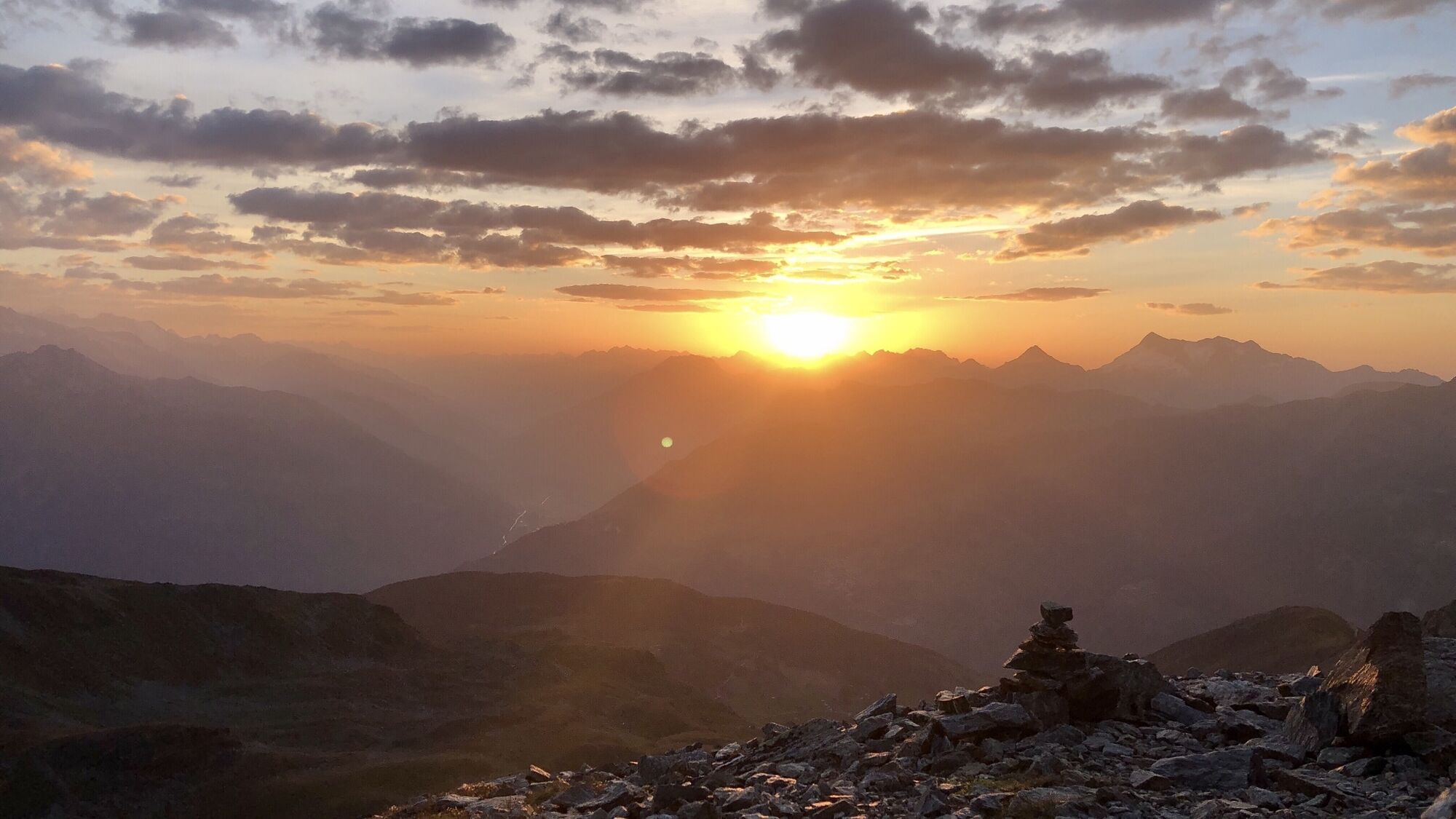
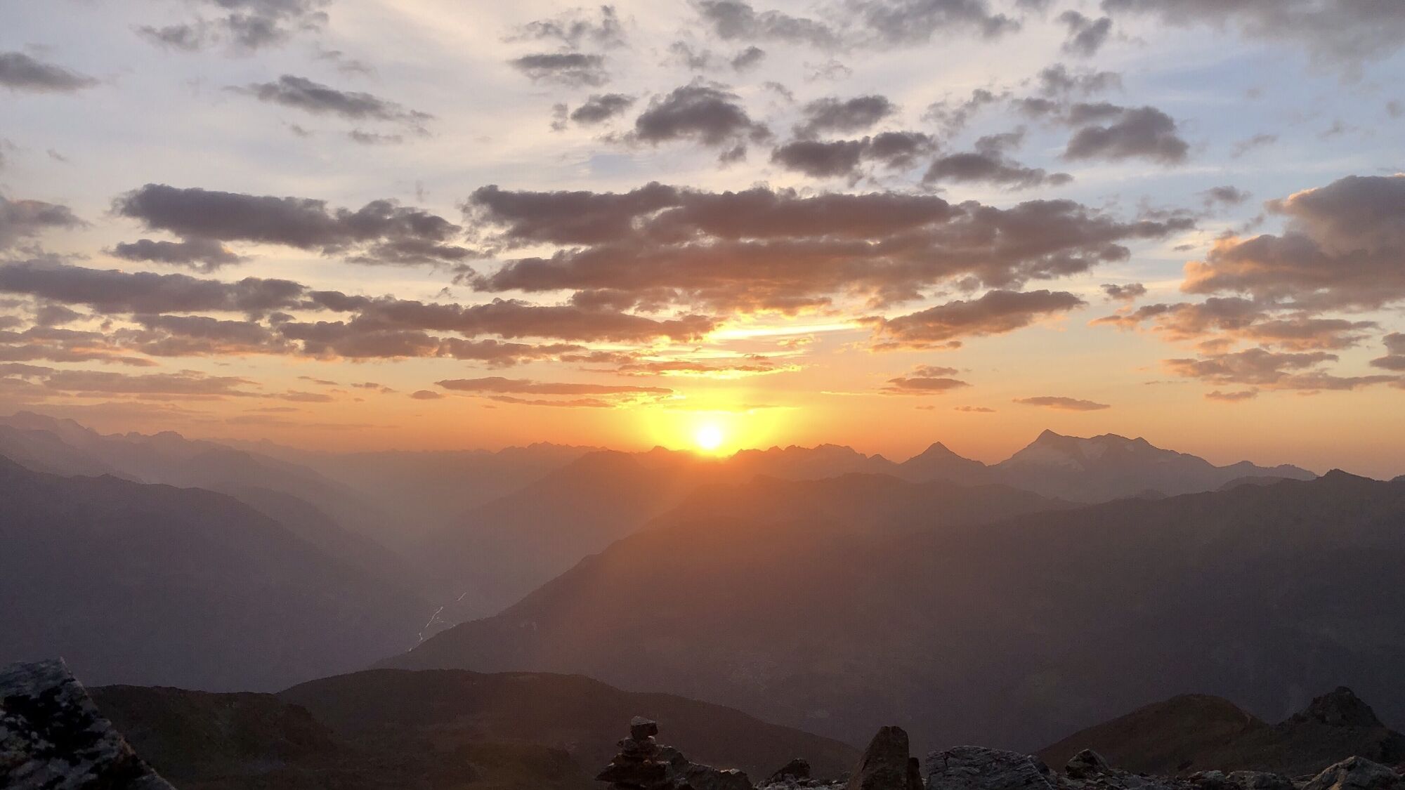
For those who want to know! The tour to the Augstbordhorn is rewarded with a dreamlike panoramic view of the surrounding mountain world. The alpine landscape, home to marmots and chamois, makes hikers'...
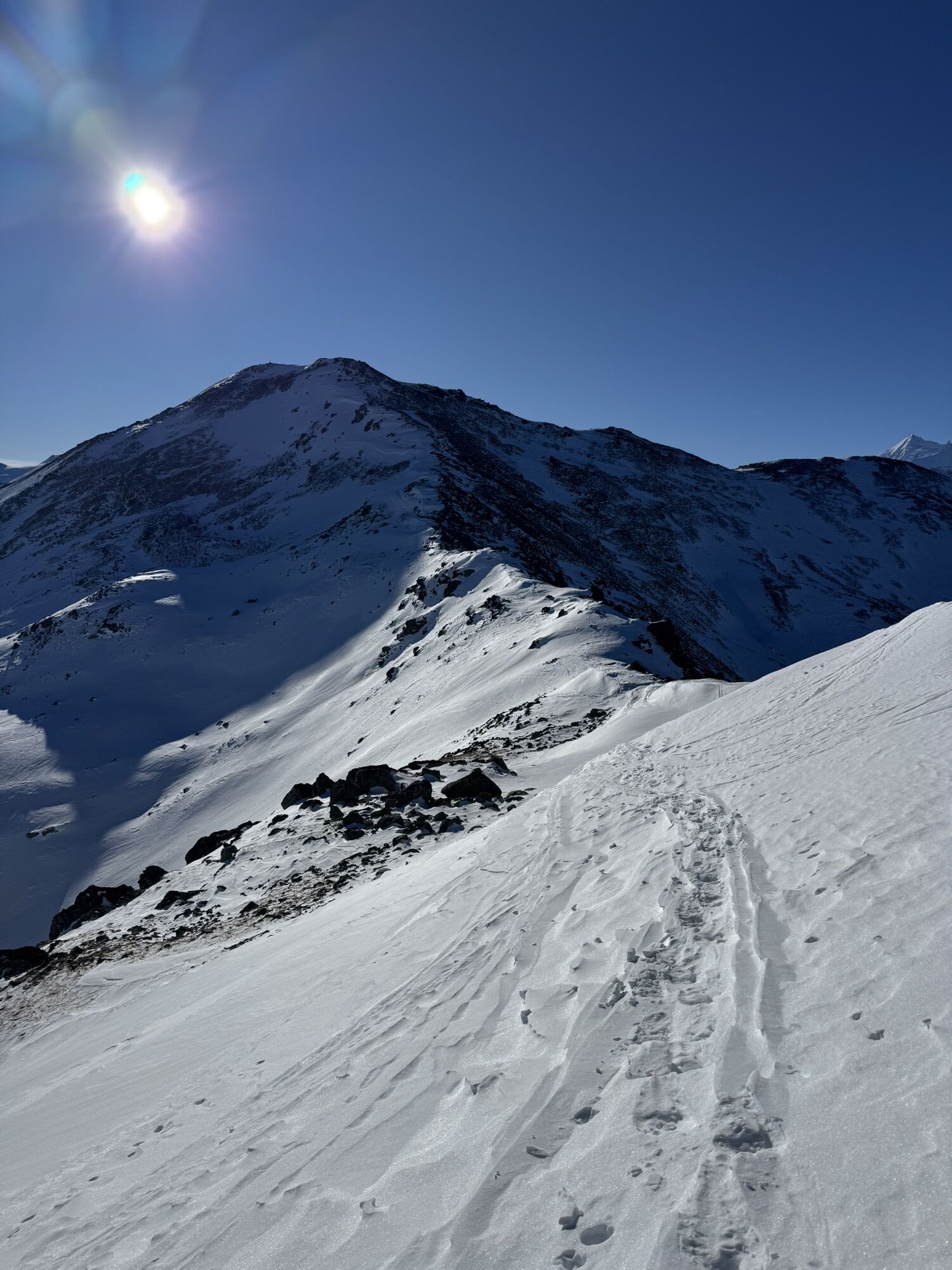
For those who want to know! The tour to the Augstbordhorn is rewarded with a dreamlike panoramic view of the surrounding mountain world. The alpine landscape, home to marmots and chamois, makes hikers' hearts beat faster. The highest point of the Moosalp region is definitely worth a hike. The start and end point is Moosalp. On a wide path, you walk up to the Arb, a plateau at 2,500 meters. The next steep section leads to the Helmini ridge. The beautiful, wide ridge flattens out in the upper part; the day's goal is on the left side with the summit cross of the Augstbordhorn. The descent basically follows the same route. Only at the Arb point can you also descend to the mountain station of the Unterrat ski lift and from there return to Moosalp.


The start and end point of this hike is Moosalp. At the beginning, it goes steeply upwards towards the west. You walk on a wide forest road up to an altitude of 2,300 meters above sea level. From here, the road turns into a narrow hiking trail leading directly into the Törbeltal. On the right hillside, you walk up to an altitude of 2,440 meters above sea level towards the Törbeltal. Then you turn right and climb steeply to the Arb, a plateau at 2,500 meters above sea level. Next follows another steep section, which leads via a zigzag path directly onto the Helmini ridge. Along this beautiful and wide ridge, which becomes flatter at the top, you reach the March at 2,875 meters above sea level. The day's destination is now directly on the left side, 20 minutes' walk away. First, you walk briefly downhill, and then follow the ascent to the summit cross of the Augstbordhorn.
The descent basically follows the same route as the ascent. Only at the Arb point can you also descend directly via a zigzag path to the mountain station of the Unterrat ski lift, and from there walk back to Moosalp on a wide road.
Áno
Áno
Good footwear and weather-appropriate clothing are recommended.
Warning: In bad weather or evening thunderstorms, this route can also be dangerous because you are exposed to the weather without protection.
On the ascent to the Augstbordhorn, there are some exposed sections over rock blocks.
Guests from the north travel via Bern through the Lötschberg (car shuttle), from the east and south via the Furka or Simplon Pass (or car shuttle). From the west, you reach the Moosalp region via Lausanne, along the Rhone valley up to Turtmann, Visp. Moosalp can be reached from Visp via Bürchen or via Stalden-Törbel.
PostBus Visp - Bürchen - Moosalp or Visp - Stalden - Törbel - Moosalp
There is a paid parking lot at Moosalp.
Moosalp Tourism
www.moosalpregion.ch
Tel. +41 27 934 17 16 | info@moosalpregion.ch
An unforgettable experience is the sunrise on the Augstbordhorn.

Webové kamery z prehliadky
-
Brandalp - Skilift Seefeld
-
Moosalp - Bergrestaurant Dorbia
-
Brandalp - Skilift Seefeld
-
Brandalp - Skilift Seefeld
-
Brandalp - Skilift Seefeld
-
Brandalp - Skilift Seefeld
-
Brandalp - Skilift Seefeld
-
Brandalp - Skilift Seefeld
-
Brandalp - Skilift Seefeld
-
Brandalp - Skilift Seefeld
-
Törbel - Chalet Dolores
-
Yakfarm - Embd



Obľúbené výlety v okolí
-
4,9
Moosalp Panoramaweg
svetloTuristika 6,36 km -
3,3
Europaweg Grächen - Europahütte - Zermatt
ťažkéTuristika 39,9 km -
3,8
Höhenweg Saas-Fee - Grächen
Turistika 12,0 km -
4,5
Ibex path
strednáTuristika 9,02 km -
4,6
Gspon high-altitude route
strednáTuristika 13,9 km -
5,0
Bella-Tola
strednáVysoké turné 6,72 km -
5,0
Panoramaweg Visperterminen
svetloTuristika 9,72 km -
5,0
Grächen high path
ťažkéTuristika 17,0 km -
5,0
Jolischlucht
strednáTuristika 8,06 km -
Moosalp – Augstbordhorn
ťažkéTuristika 5,97 km

Turistika a stopovanie


Nenechajte si ujsť ponuky a inšpiráciu na ďalšiu dovolenku
Vaša e-mailová adresa bol pridaný do poštového zoznamu.





