


Baltschieder via ferrata to Wiwannihütte
Úroveň náročnosti: C/D


Fotografie našich používateľov

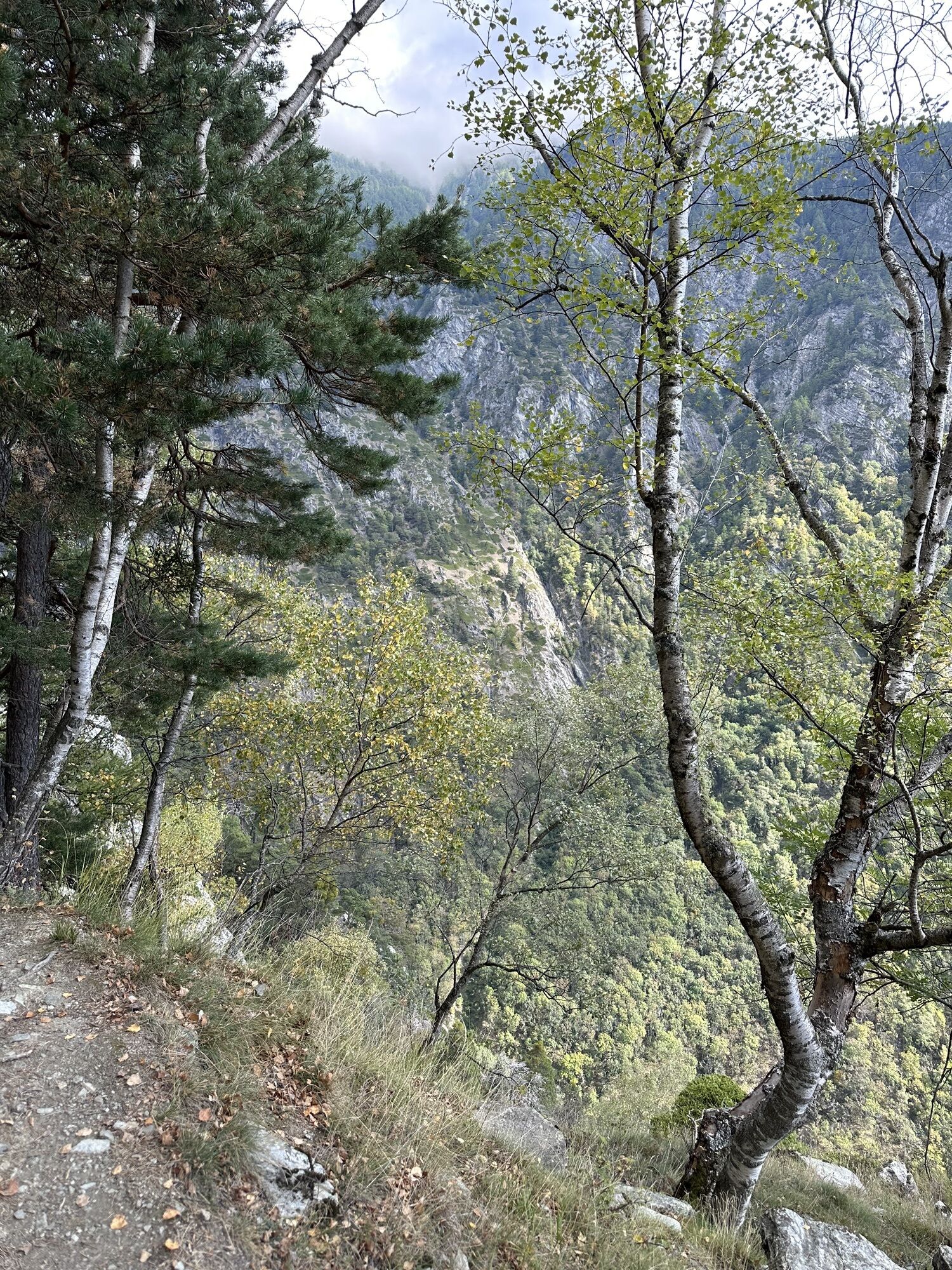
You reach the Baltschiedertal valley via the historic Niwärch water pipe from the year 1370. The turnoff to the via ferrata is well marked (white-blue-white). The route then leads over steep rocks, grassy...
You reach the Baltschiedertal valley via the historic Niwärch water pipe from the year 1370. The turnoff to the via ferrata is well marked (white-blue-white). The route then leads over steep rocks, grassy bands, as well as a spectacular rock tower up to the Wiwannihütte. The route is located in a landscape protection area and in the UNESCO World Heritage Jungfrau-Aletsch region. The route is only recommended in safe weather. Early summer may still have snowfields.


From Ausserberg station, you reach the Baltschiedertal valley leisurely via the Niwärch Suone. After approximately a two-hour hike, turn left after crossing a tributary of the Baltschiederbach twice (blue-white-blue alpine hiking trail) and reach the start of the via ferrata. The route offers diverse sections – climbers pass through grooves and climb the distinctive ridge tower, where a short stop for a souvenir photo is definitely worthwhile. You ultimately reach the exit over exposed rocks, from where the hut can be reached in a short walk. For the descent, follow the white-red-white path towards Grieläger and then through the open larch forest and along avalanche barriers, always downhill towards Ausserberg. Alternatively, you can descend via the adventurous and correspondingly longer route via "Nasenlöcher" – this alternative is recommended only for two-day routes. Alpine experience as well as a headlamp, rope, and carabiner for securing are necessary for this descent.
Áno
A waist harness with a via ferrata set for self-protection is mandatory for using a via ferrata. Due to the danger of falling rocks, wearing a helmet is also a must.
Pay attention to good footwear, appropriate clothing, and sufficient provisions. Gloves provide additional protection for fingers and joints and prevent abrasions.
Weather: Those on via ferratas should consider weather forecasts. A sudden deterioration in weather can be life-threatening. Via ferratas must be avoided in case of thunderstorm risk.
Falling rock danger: On via ferratas, there is the danger of falling rocks, mostly triggered by preceding climbers or wild animals. Therefore, protect yourself with a helmet.
Securing: When using a via ferrata, always ensure enough distance to the preceding climber is maintained. Only one person should be in an anchoring section at a time.
From Sion and Brig via motorway A9 and cantonal road 9 to Visp. Then via Baltschieder to Ausserberg.
Hourly connections with the Lötschberger from Bern or Brig to Ausserberg.
Parking Ausserberg station
C/D
Access only possible with a mountain guide.
Equipment rental:
Egon Feller, mountain guide
More information about the destination can be found here:
Sunny slopesThose who do not trust themselves to complete the entire route in one day or want to enjoy the view and hospitality at the Wiwannihütte can stay overnight in the hut with 30 beds.
Webové kamery z prehliadky
Obľúbené výlety v okolí
-
4,0
Rundwanderung Lötschenpasshütte
strednáTuristika 12,2 km -
4,7
Lötschentaler Höhenweg
svetloTuristika 9,17 km -
CIRCULAR WALK MASSEGGA SUSPENSION BRIDGE
svetloTuristika 6,44 km -
5,0
Restipass
Turistika 14,5 km -
Panoramaweg Visperterminen
svetloTuristika 9,72 km -
4,0
NATICHERBERG CIRCULAR TRAIL
strednáTuristika 12,1 km -
5,0
Moosalp Panoramaweg
svetloTuristika 6,36 km -
Gasterntal Lötschenpass - Lauchernalp
ťažkéTuristika 15,8 km -
5,0
Jolischlucht
strednáTuristika 8,06 km -
Gibidumpass
svetloTuristika 11,6 km
Turistika a stopovanie


Nenechajte si ujsť ponuky a inšpiráciu na ďalšiu dovolenku
Vaša e-mailová adresa bol pridaný do poštového zoznamu.