


CIRCULAR HIKE MASSEGGA SUSPENSION BRIDGE
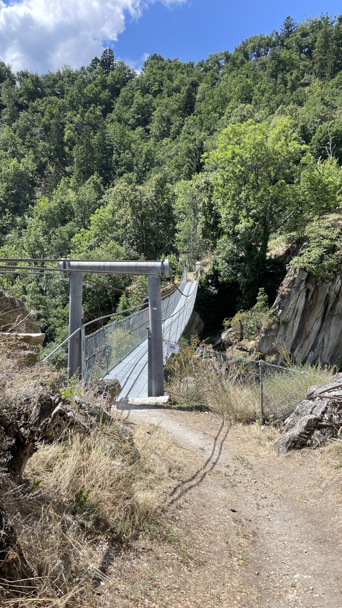
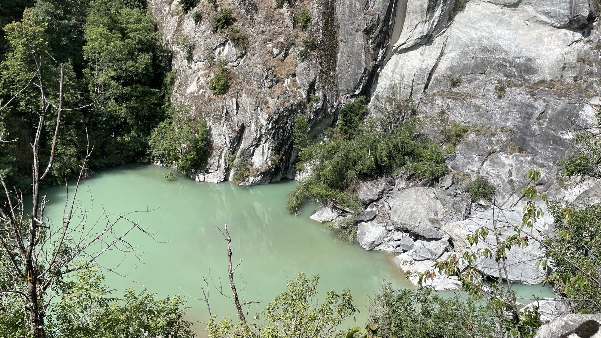
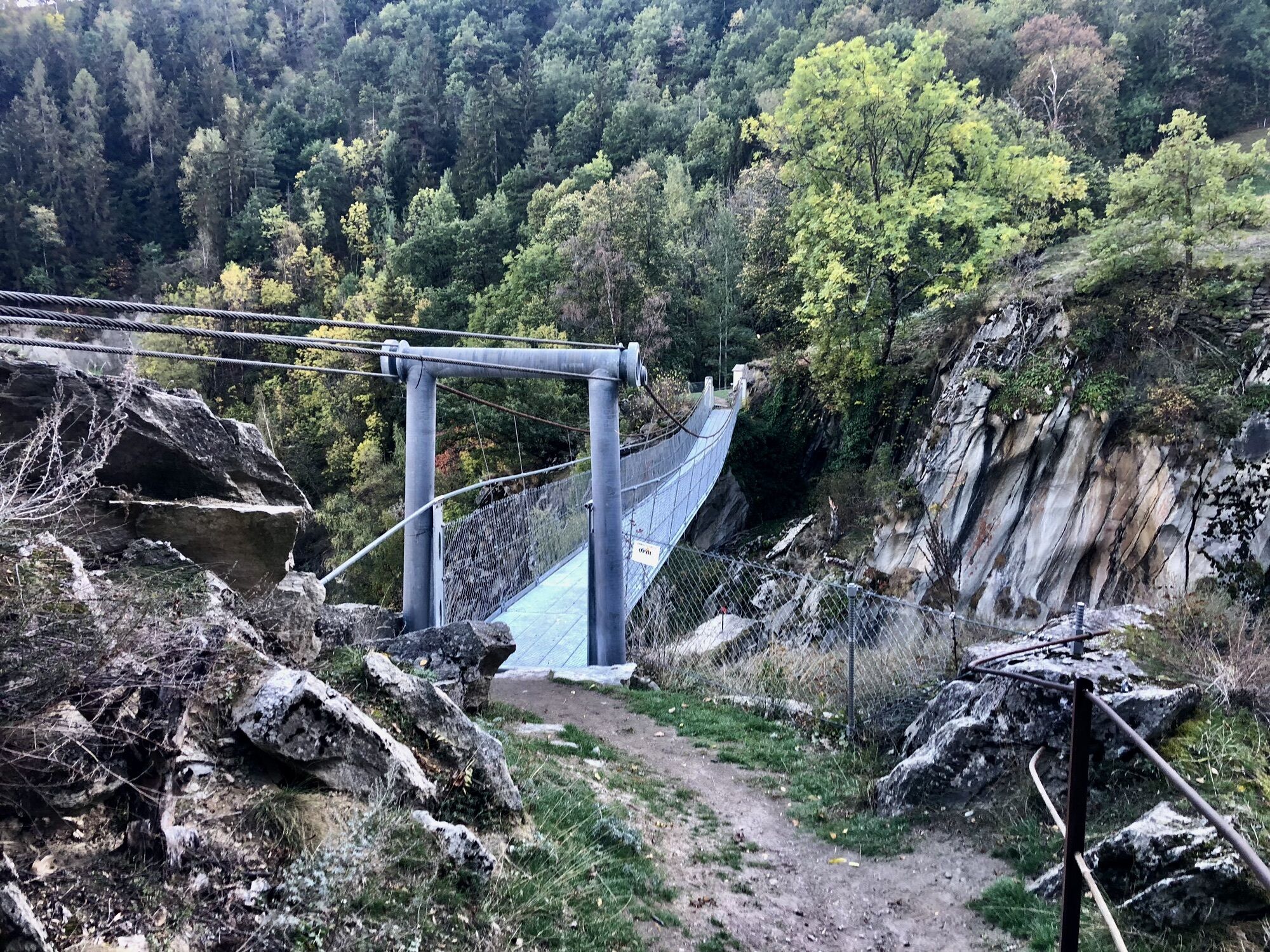
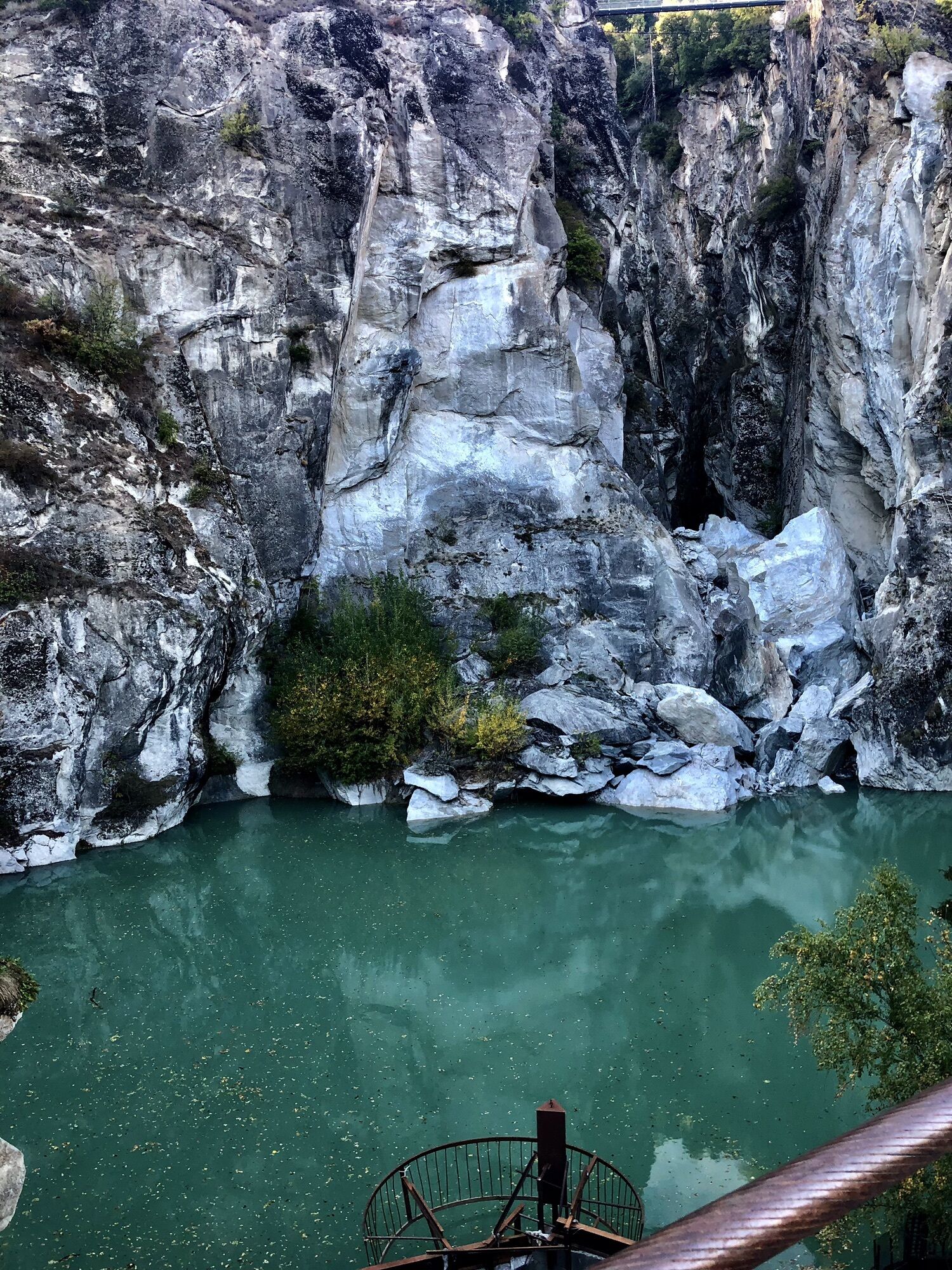
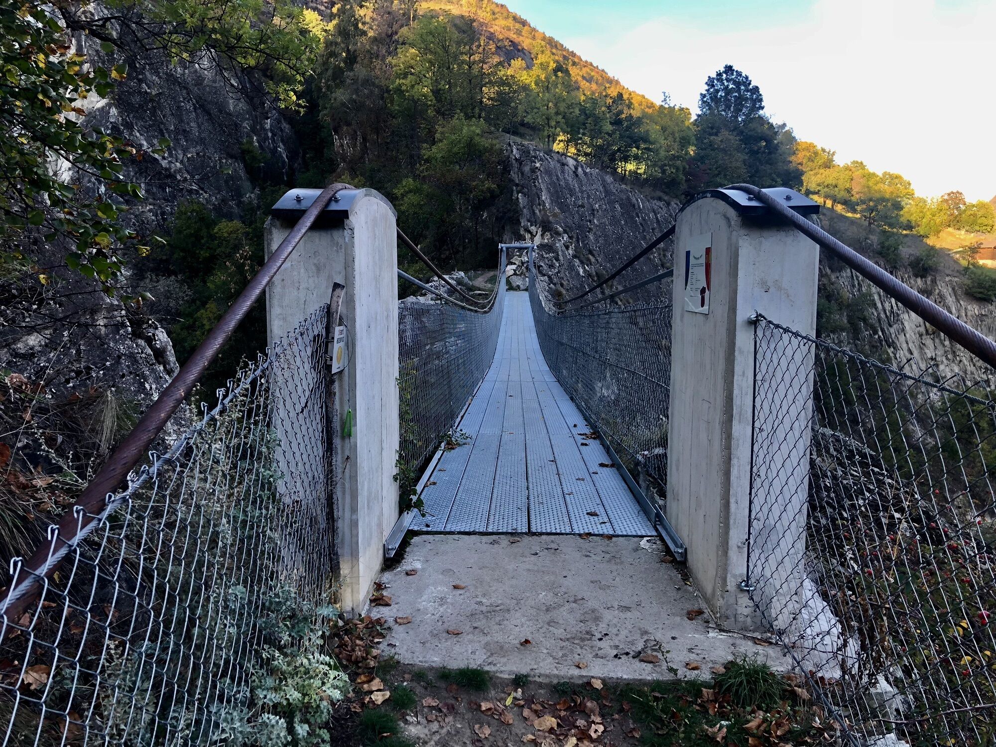
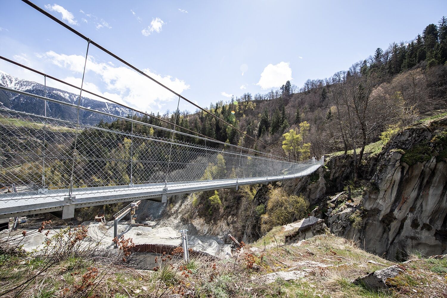
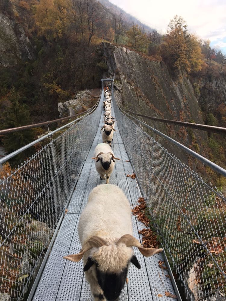
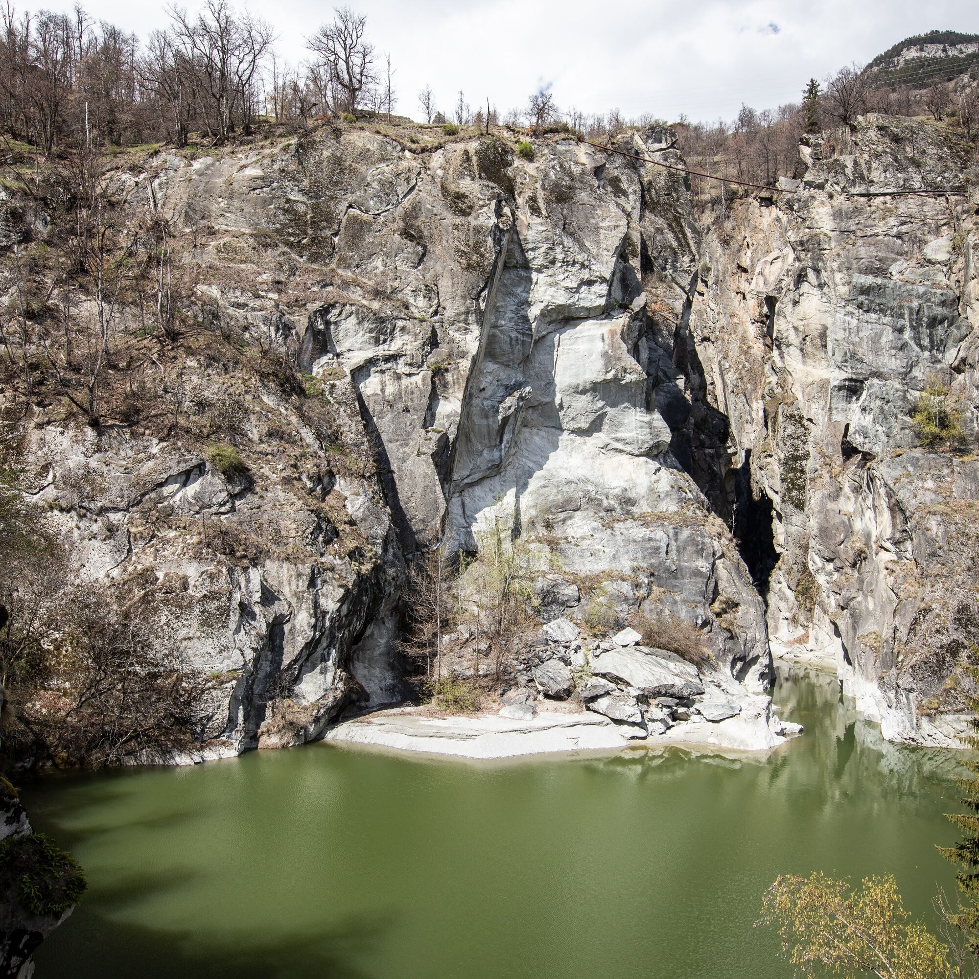
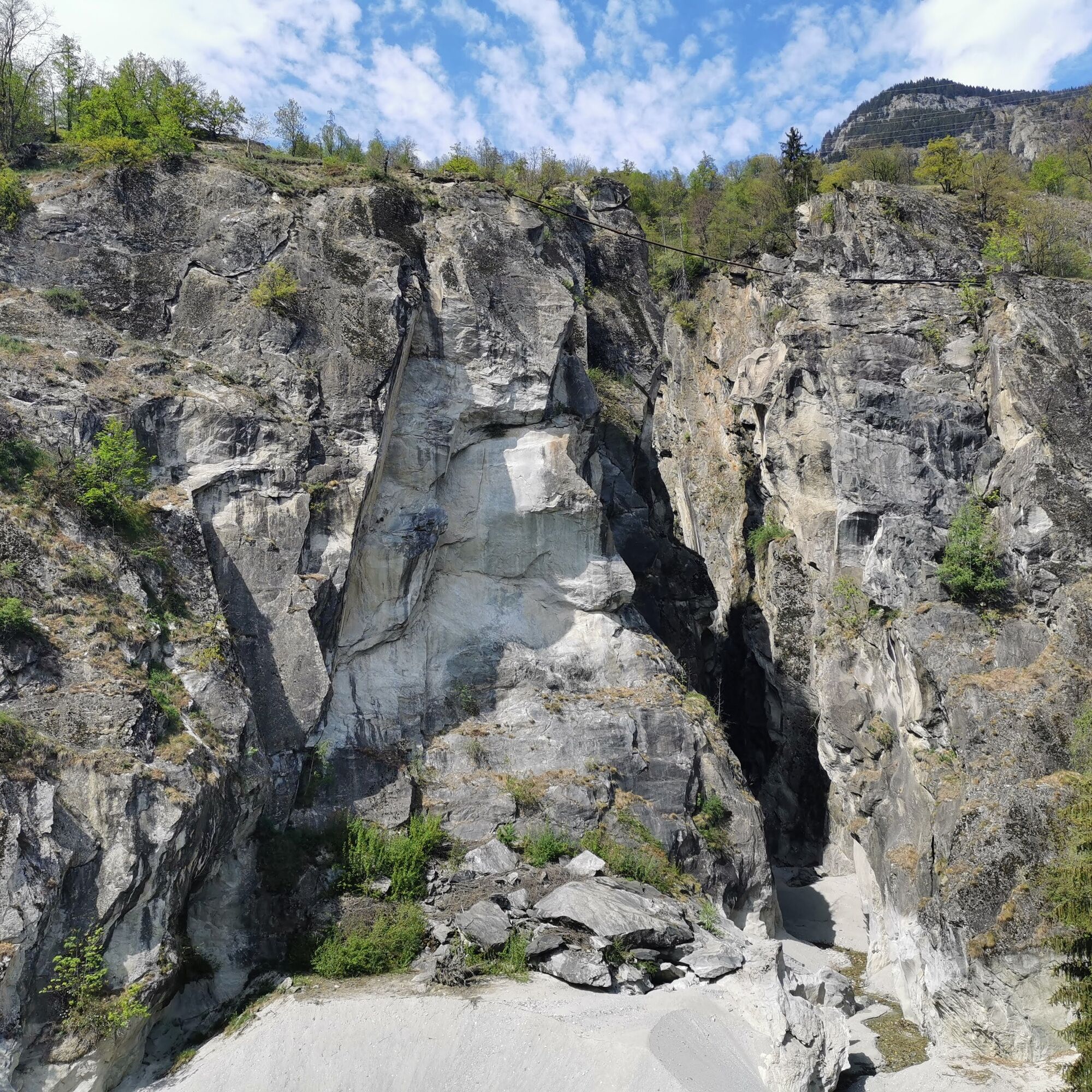
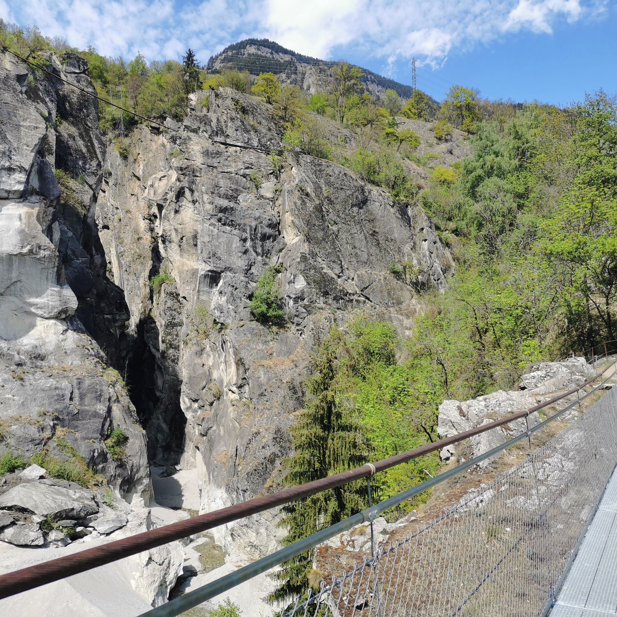
The relatively new suspension bridge between Naters and Bitsch is only about 40 meters long, but offers an impressive view into the Massa Gorge.
This bridge opens up a connection that is particularly popular...
The relatively new suspension bridge between Naters and Bitsch is only about 40 meters long, but offers an impressive view into the Massa Gorge.
This bridge opens up a connection that is particularly popular between spring and autumn.
The suspension bridge is practically right on your doorstep, as it is reachable via a short hike from Naters via Hegdorn.
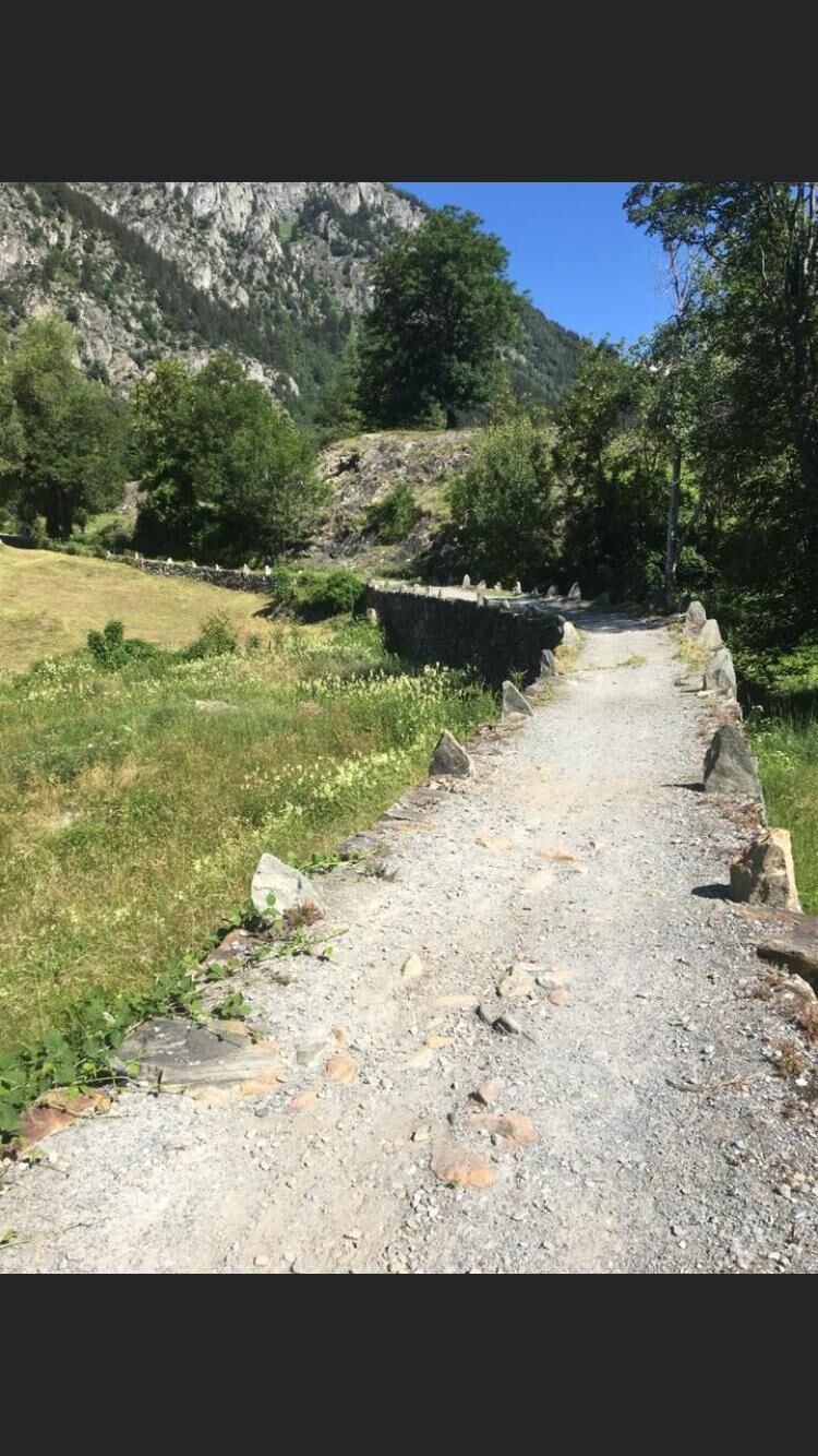
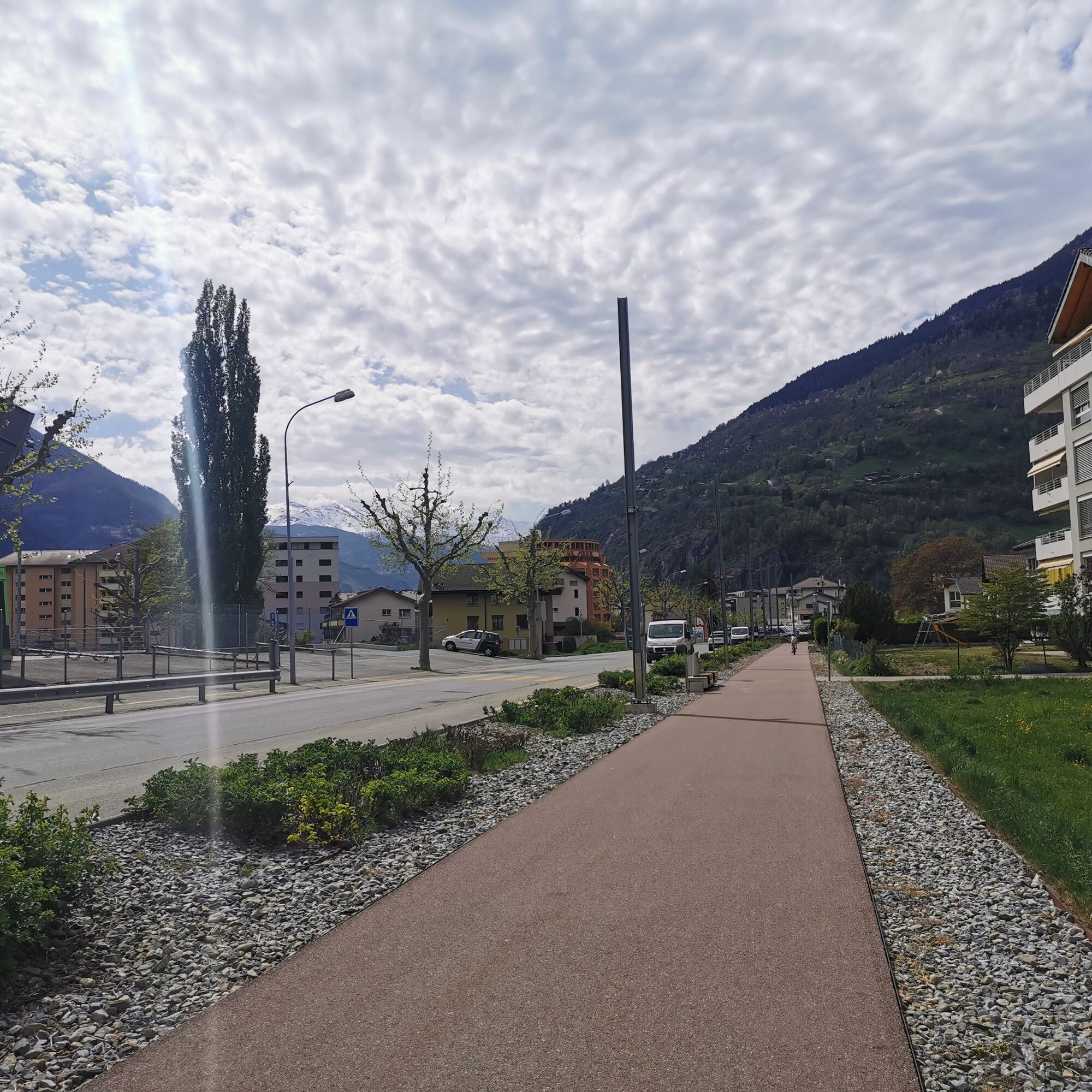
The return route goes via the popular Red Mile, the former FO railway track that has been turned into a promenade. Alternatively, you can choose the path along the Rotten.

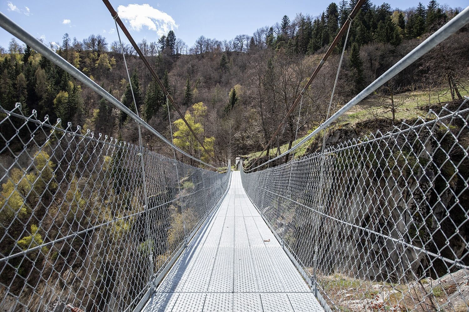
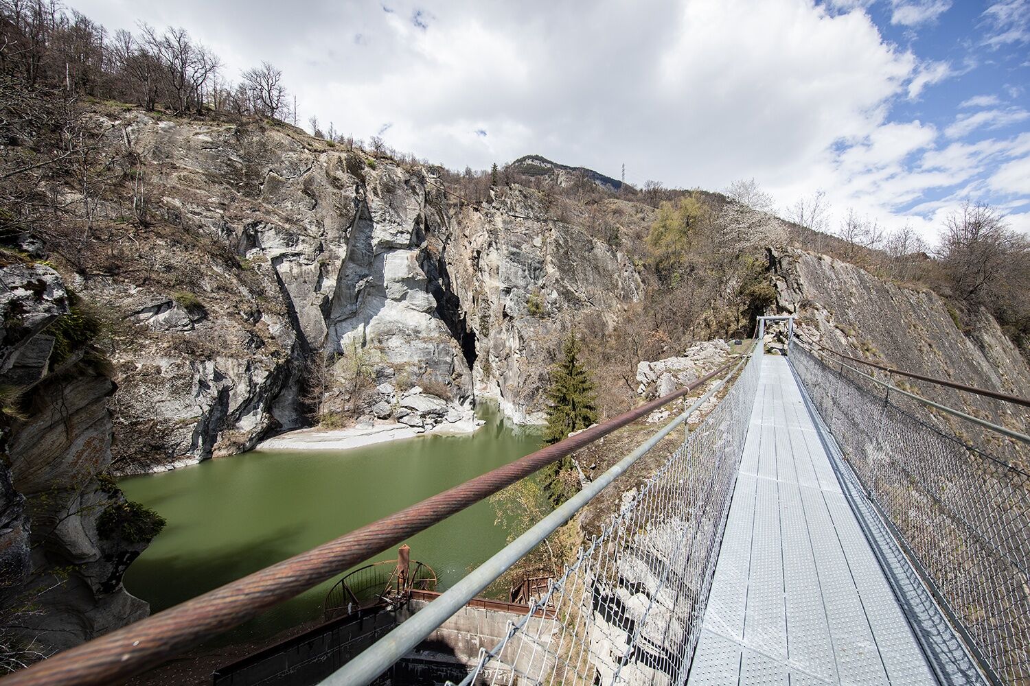
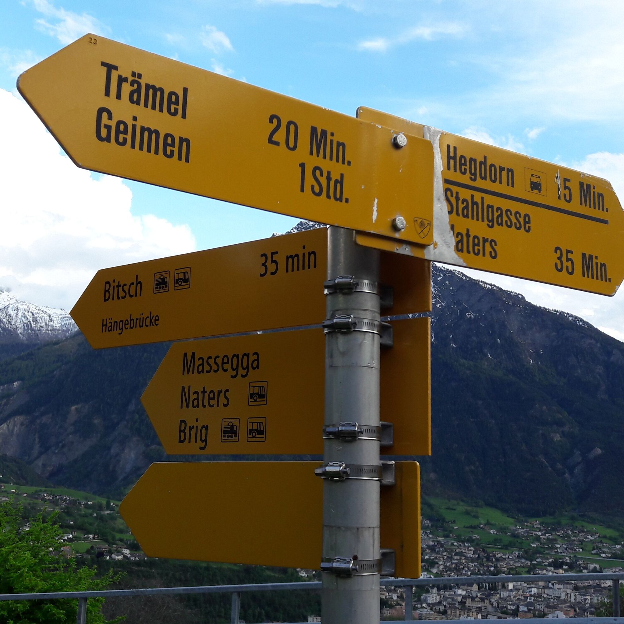
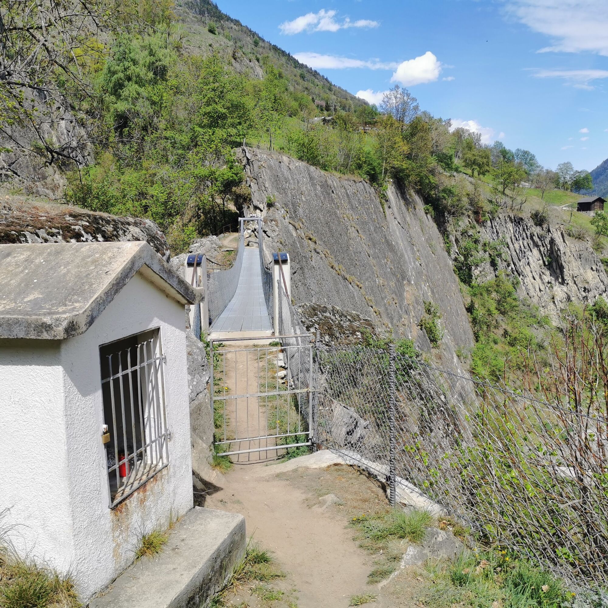
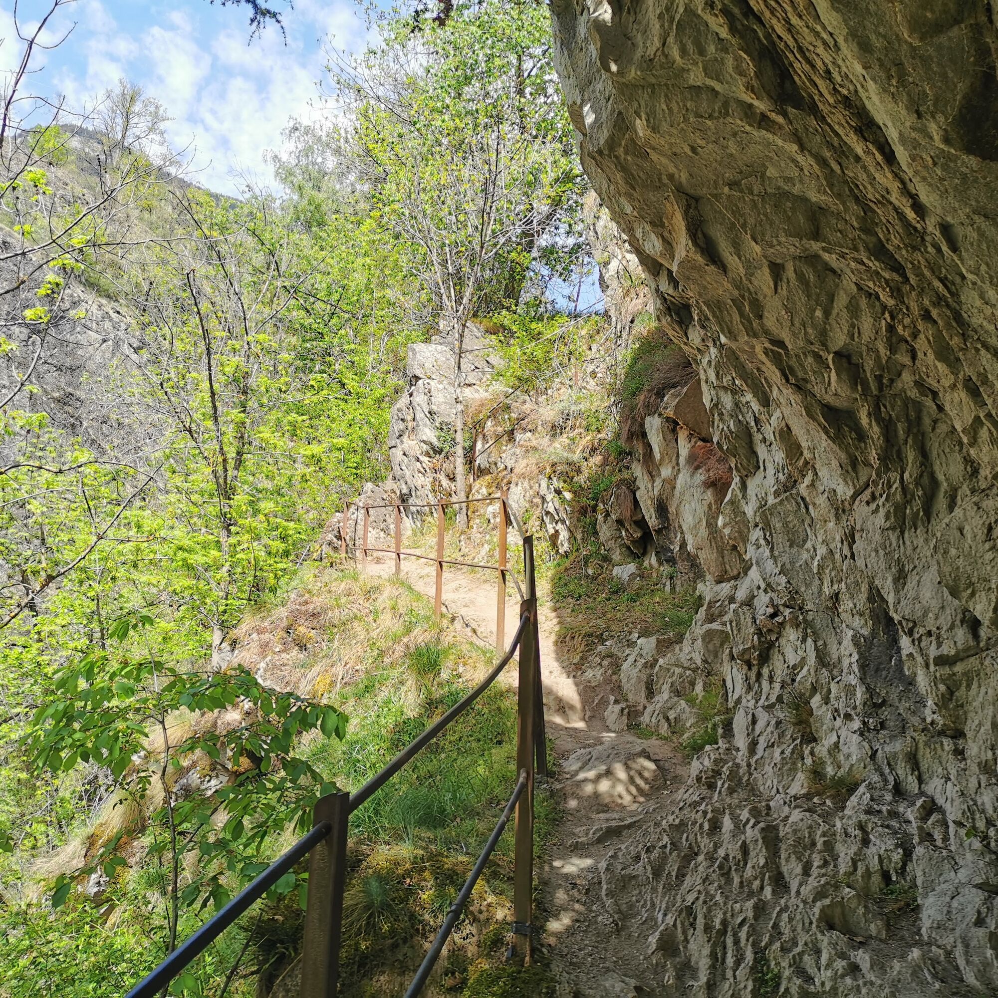
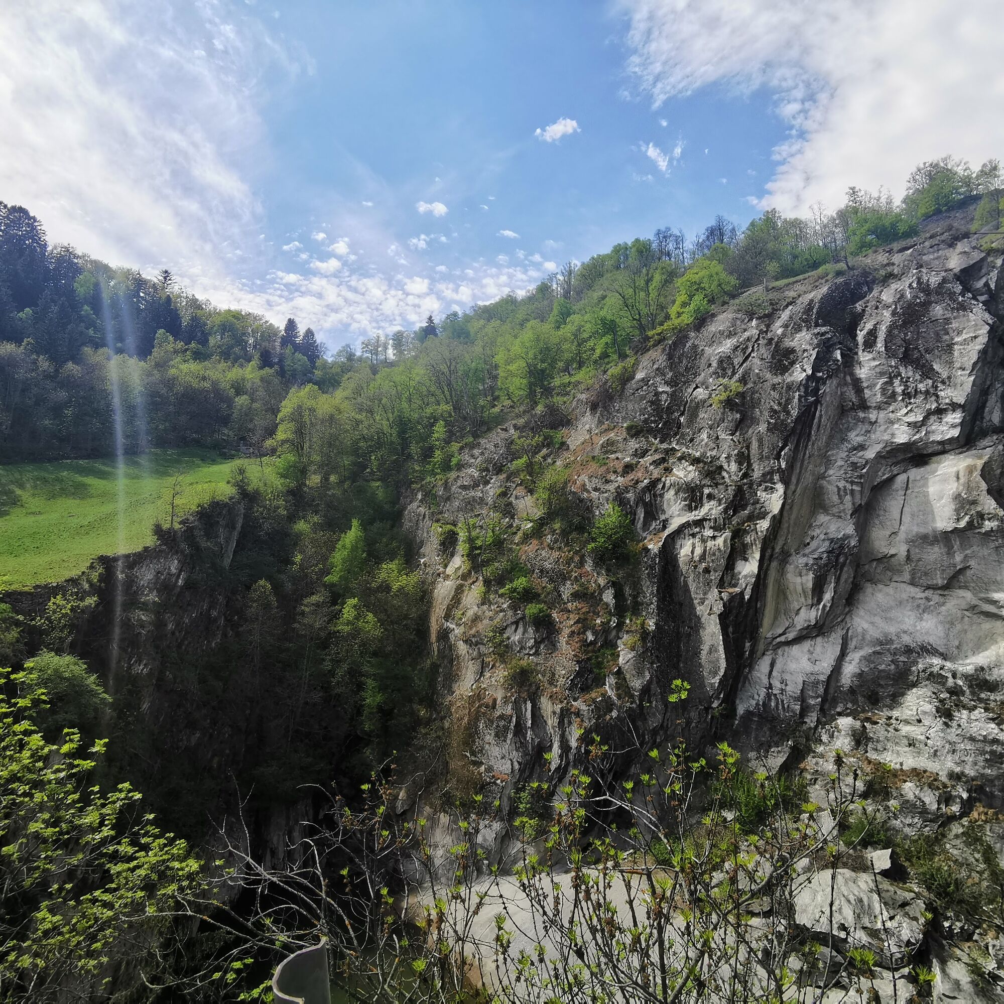
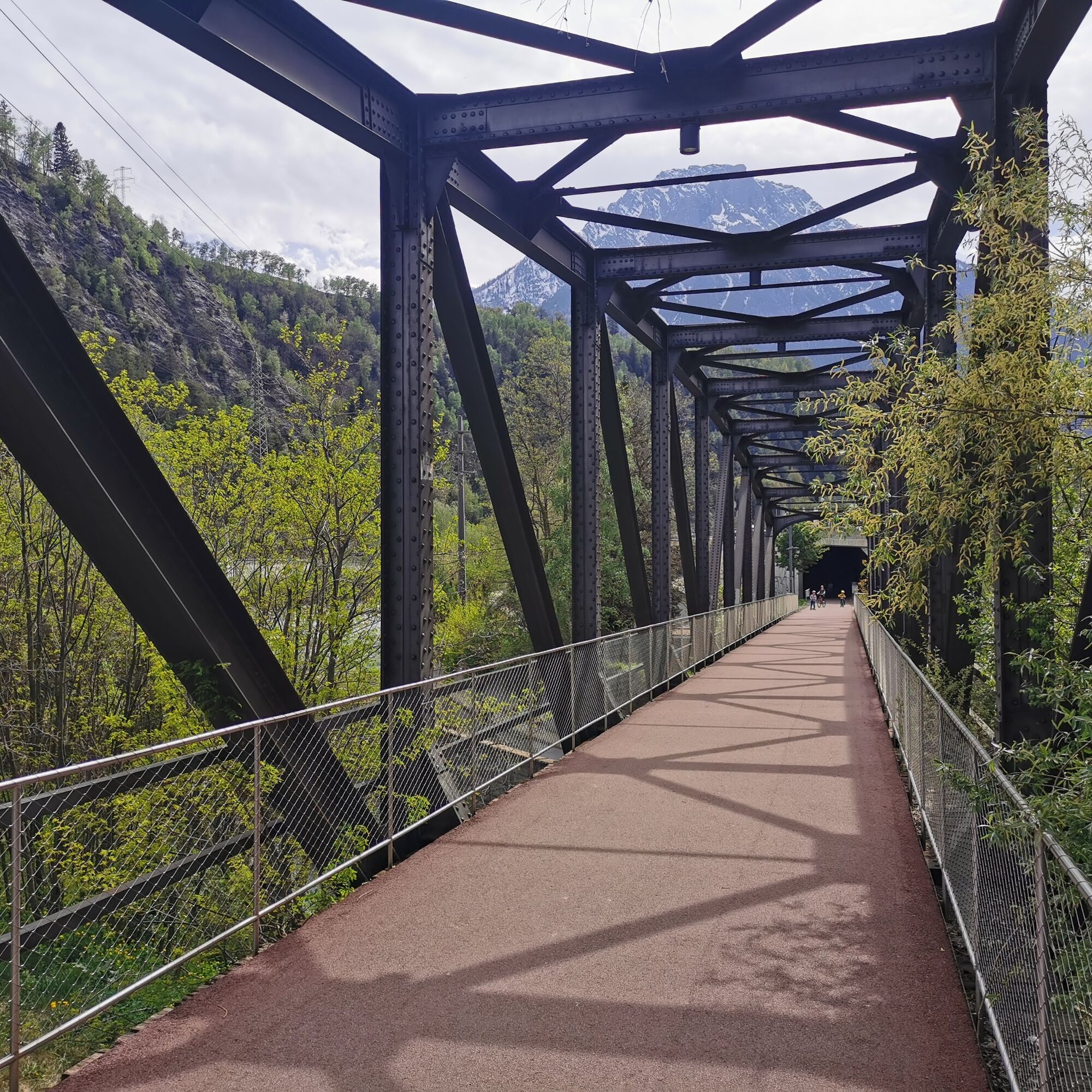
Start from Naters via Klosi towards Hegdorn. From there, continue to the suspension bridge. The path is not easy to find, but it is well signposted. The entry to the path is at the hamlet "Hegdorn" and leads you down towards the Massa Gorge. From the suspension bridge, you can reach the valley floor of Bitsch in ten minutes. From there, continue via the popular promenade of the red mile back to Naters.
Naters - Hegdorn - suspension bridge - Bitsch - Naters
Áno
Sturdy footwear, weather-appropriate clothing, sun and rain protection, as well as sufficient food and drink supplies are recommended in case no rest or shopping opportunities are available or open. Although the path is continuously well marked, for safety reasons you should always carry a suitable hiking map. Bring trekking poles or other aids.
Despite the “unmissable” marking of the hiking trails, we recommend for safety reasons to always carry a suitable hiking map so that you can quickly find a safe area, for example in case of a thunderstorm or emergency.
Especially in autumn, be aware that leaves on the ground can conceal unevenness, roots, stones, or holes in the path. After storms, trees can still fall or branches drop. Especially in adverse weather conditions, natural paths can be muddy and slippery. You should expect such path impairments when hiking.
Not all rocks or precipices are secured with ropes or railings. Surefootedness is sometimes required. If you find certain path sections impassable, you should bypass them.
Arrival by car
From Western Switzerland: A9 Lausanne - Vevey, or Northwestern Switzerland: A12 Bern - Vevey: A9 - Sierre: main road Sierre - Brig
From Northwestern Switzerland: A6 Bern - Thun - Spiez: main road Spiez - Kandersteg (car shuttle Lötschberg tunnel) - Goppenstein - Gampel - Brig
From Eastern and Central Switzerland: Andermatt - Realp (year-round Furka car shuttle; in summer via Furka Pass) - Oberwald - Brig
From Ticino (in summer): Airolo - Nufenen Pass - Ulrichen – Brig
Or via Centovalli – Domodossola – Simplon Pass – Brig
From Italy (Aosta, Mt. Blanc Tunnel): Aosta - Grand Saint Bernard Tunnel (in summer via the pass) - Martigny: highway A9 - Sierre: main road Sierre – Brig
Or via Domodossola – Simplon Pass – Brig
Hegdorn
From Brig you reach Hegdorn via Naters.
Hegdorn is accessible by public transport from Brig or Naters.
The SBB timetable can be found at: www.sbb.ch
Parking is available in Hegdorn.
More information can be found at:
www.belalp.ch
If you have any questions, please contact:
Belalp Bahnen AG
Blatten - Belalp Tourismus AG
Enjoy a coffee at the Bistro CappuGiro in Bitsch.
You can finish in Naters at the Cafe Zuckerpuppe with local products.
Webové kamery z prehliadky
Obľúbené výlety v okolí
-
UNESCO Höhenweg
Turistika 3,70 km -
5,0
Moosalp Panoramaweg
svetloTuristika 6,36 km -
4,0
Panoramaweg über den Aletschgletscher
strednáTuristika 17,7 km -
4,0
Eggishorn via ferrata
strednáVia ferrata 1,39 km -
5,0
Aletsch Sightseeing
strednáZimná turistika 15,5 km -
5,0
Aletsch Via Ferrata
strednáVia ferrata 3,59 km -
4,0
NATICHERBERG CIRCULAR TRAIL
strednáTuristika 12,1 km -
4,0
Höhenwanderung Rosswald
svetloTuristika 6 km -
Panoramaweg Visperterminen
svetloTuristika 9,72 km -
Chapel path Visperterminen and Bodmeri Suone
strednáTuristika 9,30 km
Turistika a stopovanie


Nenechajte si ujsť ponuky a inšpiráciu na ďalšiu dovolenku
Vaša e-mailová adresa bol pridaný do poštového zoznamu.