







Valais Alpine Bike 6. Lauchernalp (Lötschen) - St-Luc
Úroveň náročnosti: S2
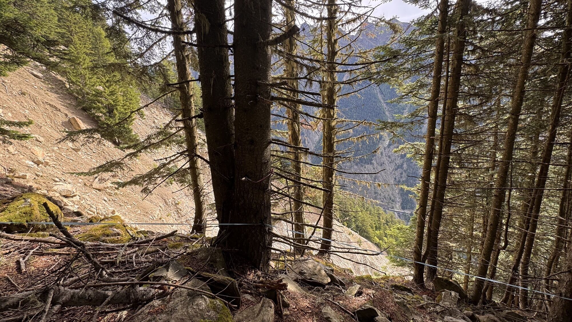
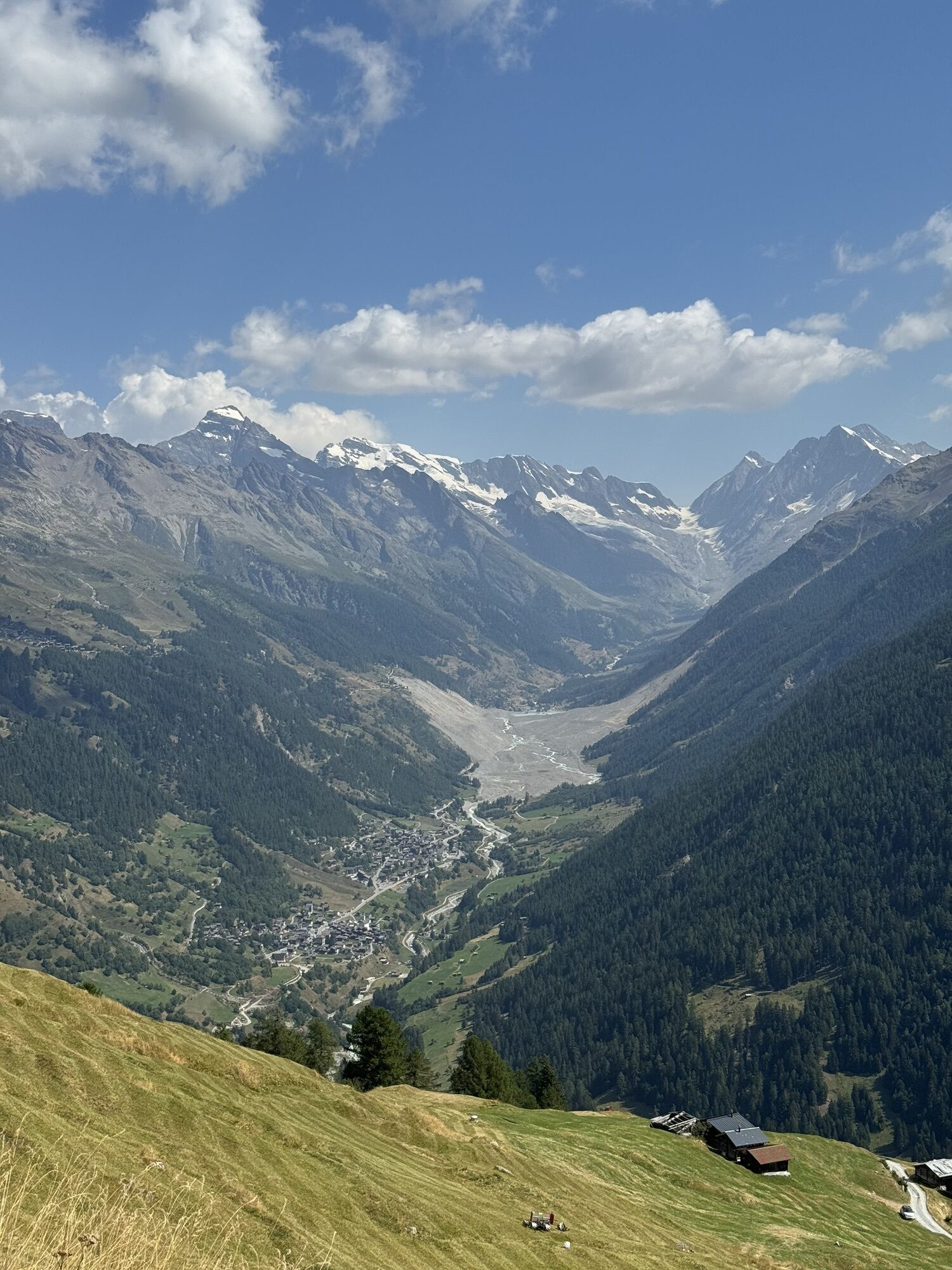
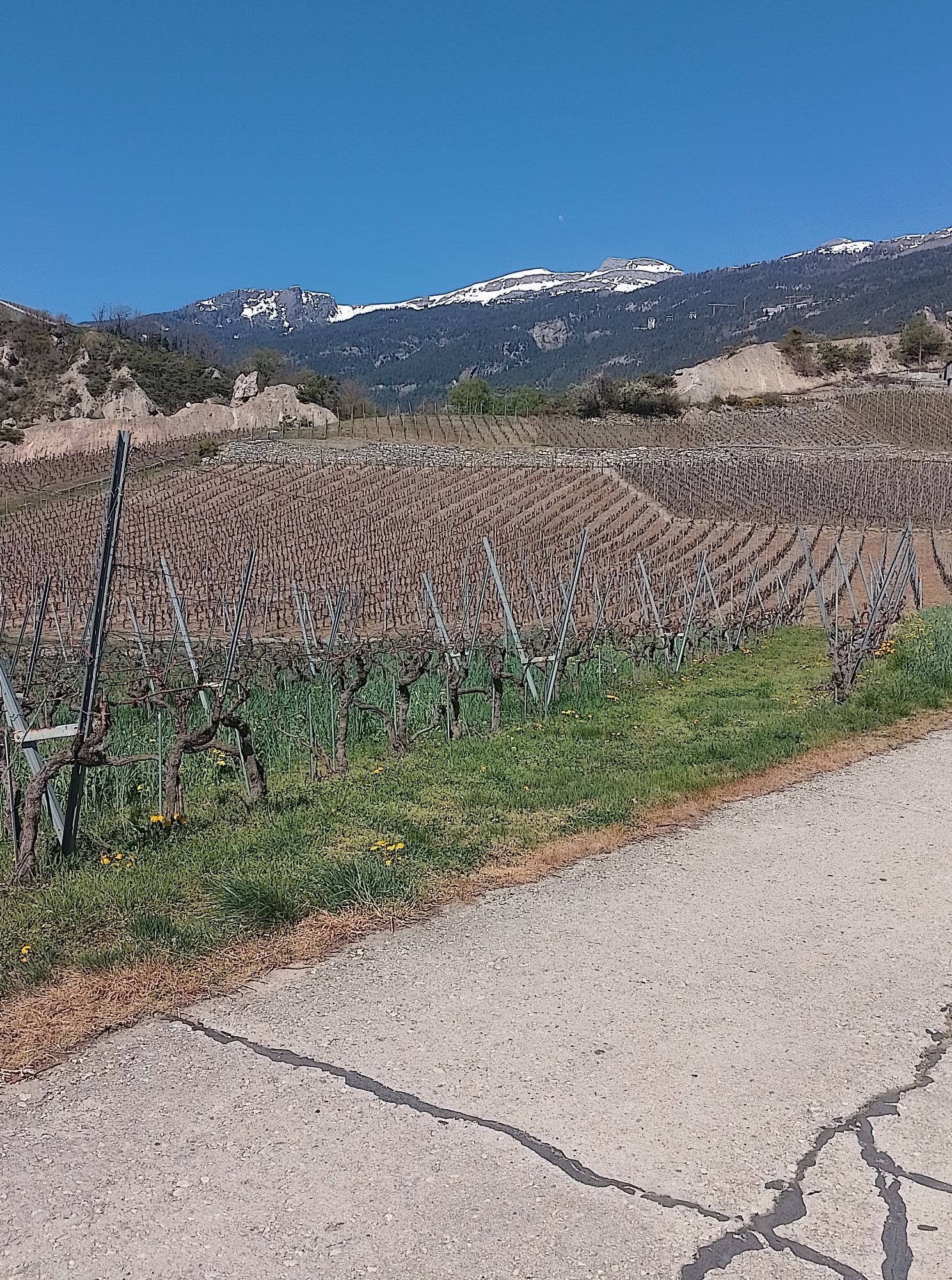
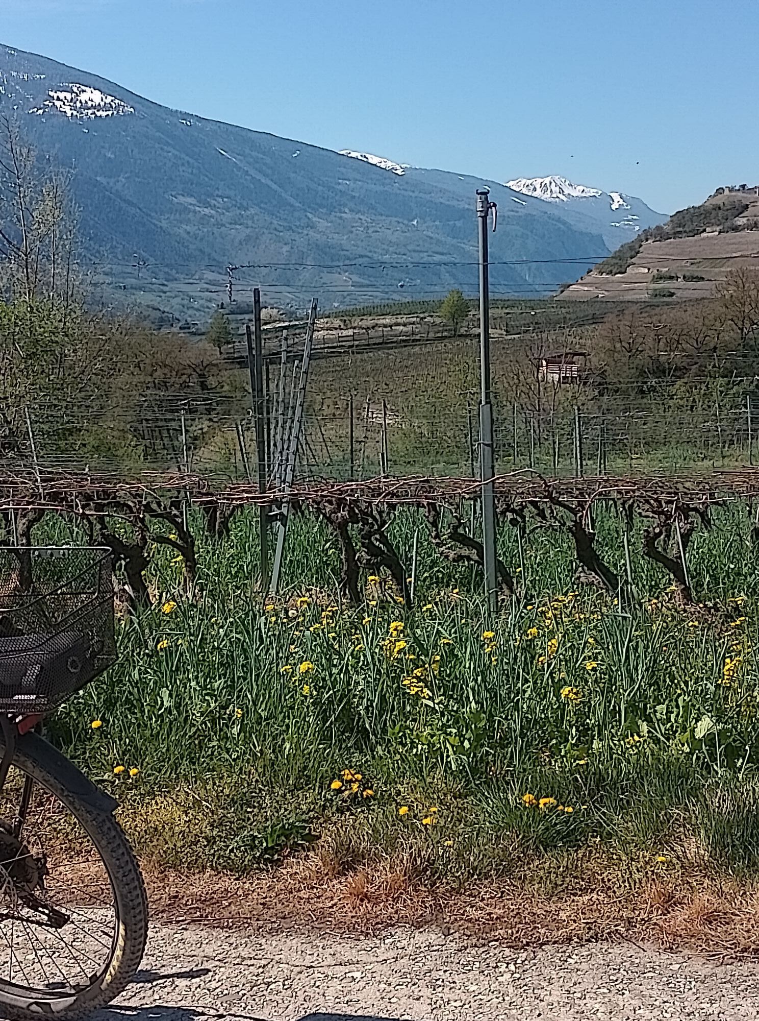
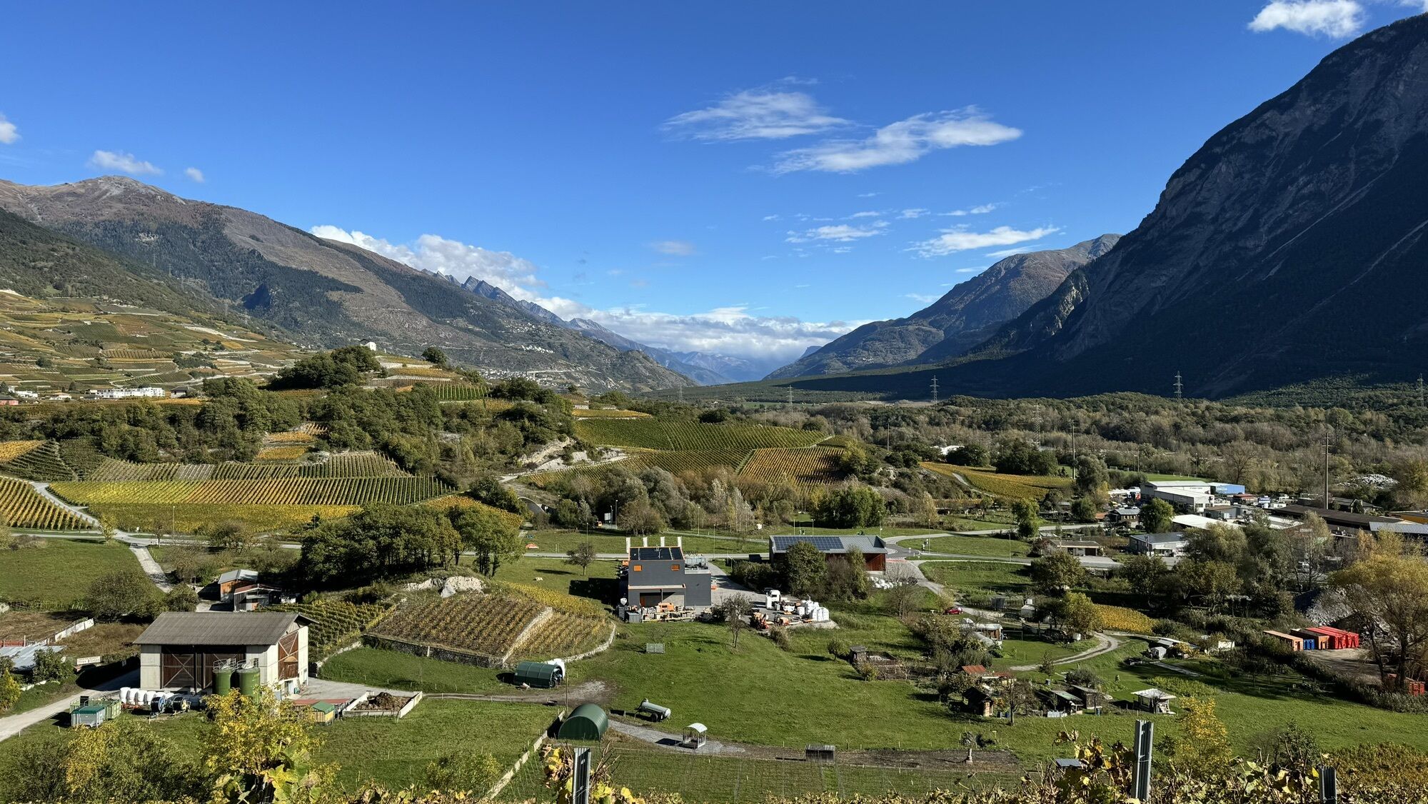
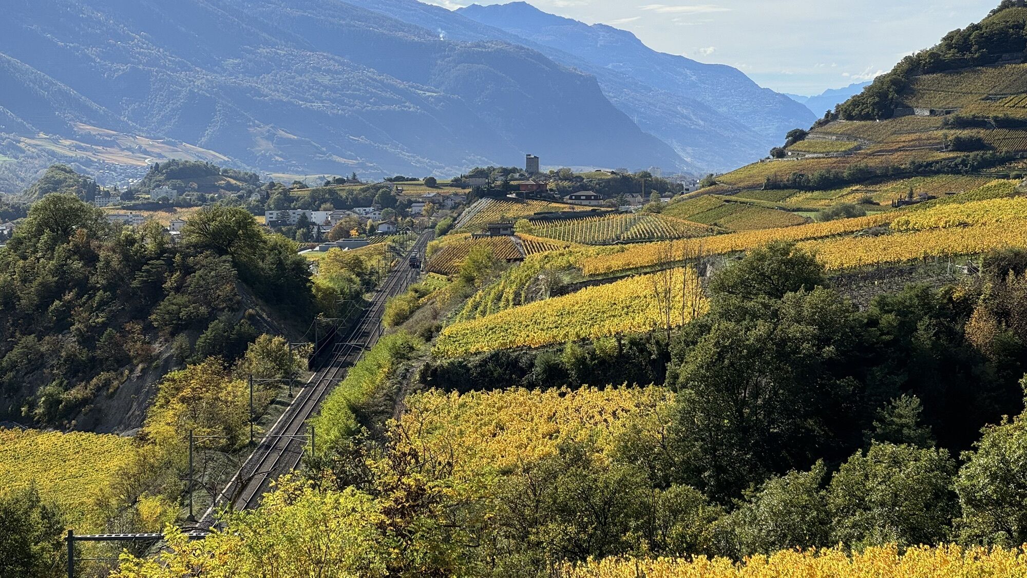

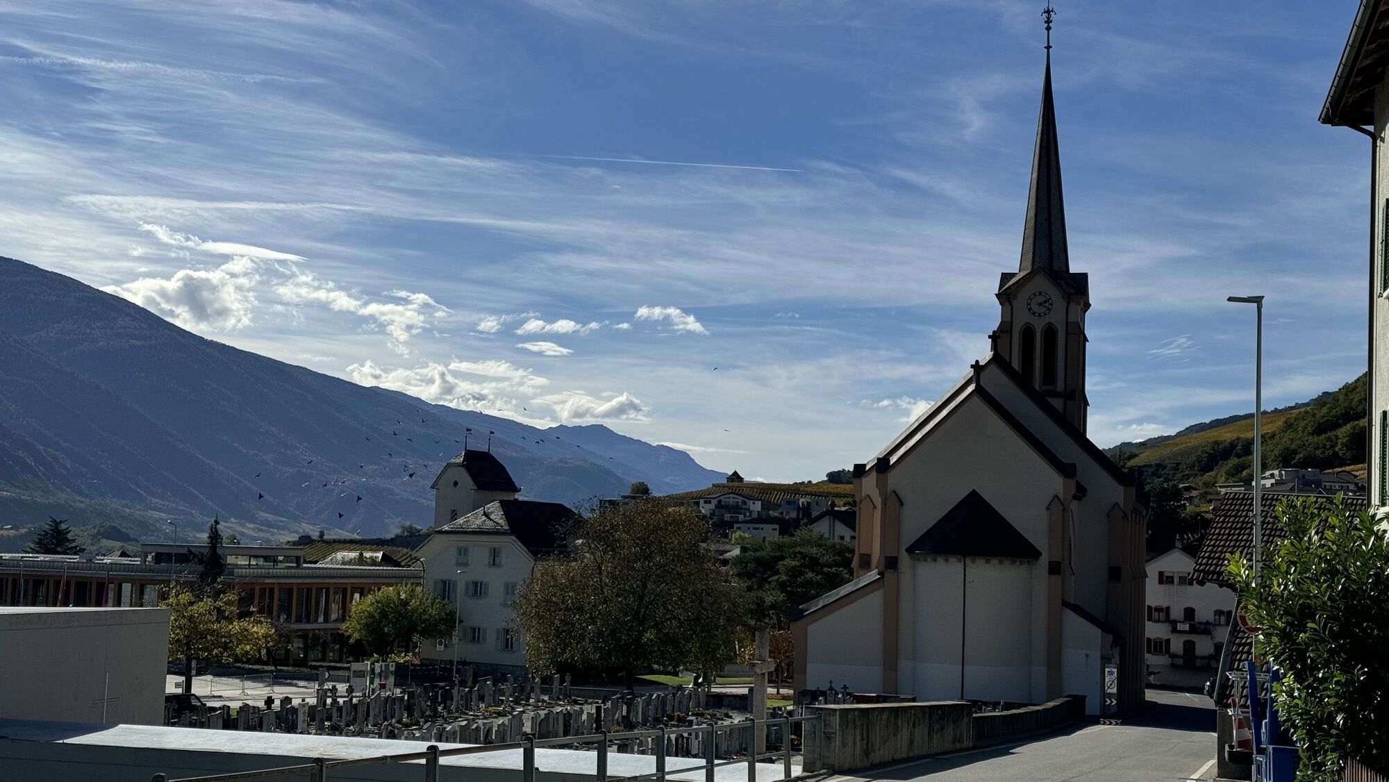
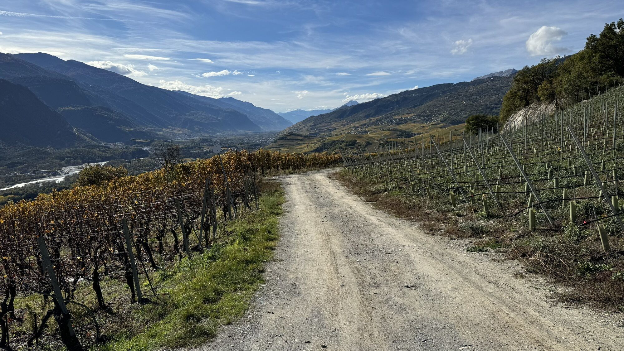
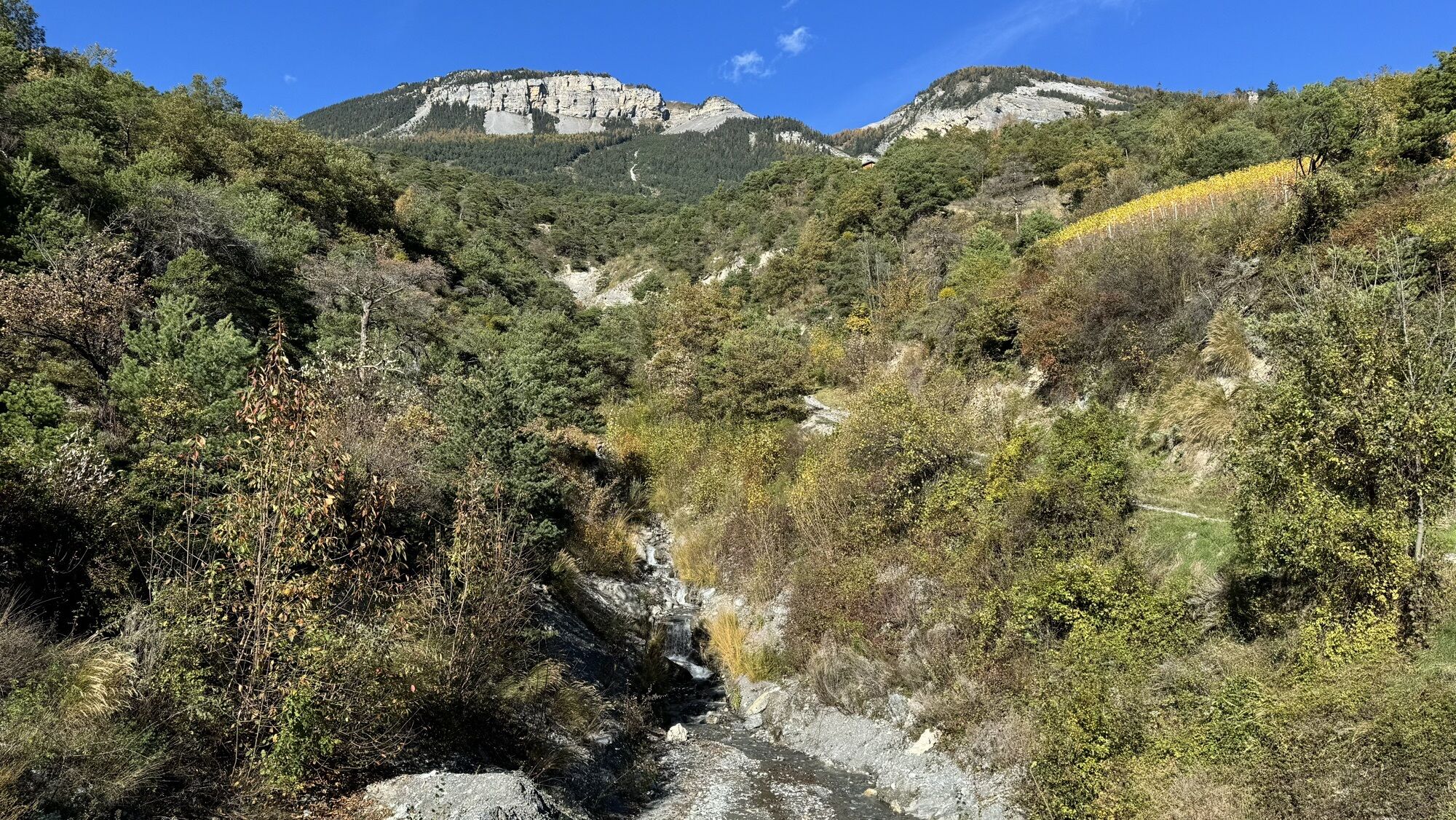
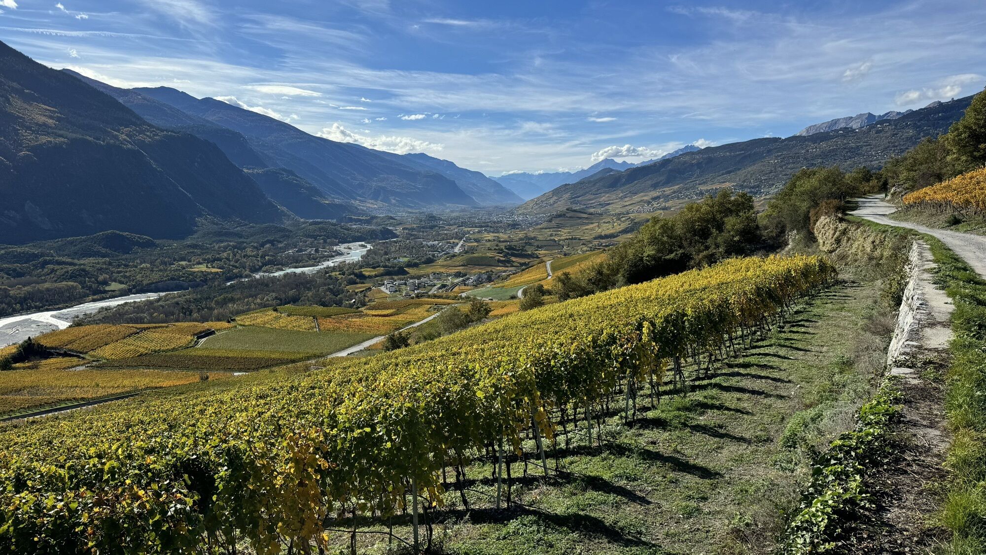
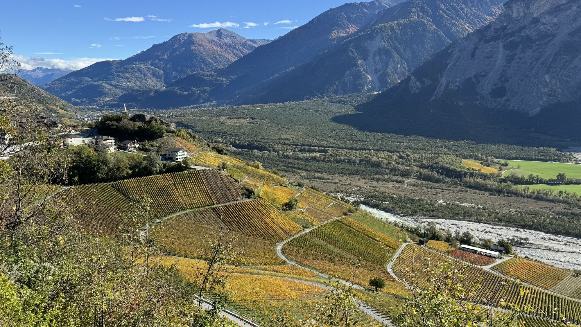
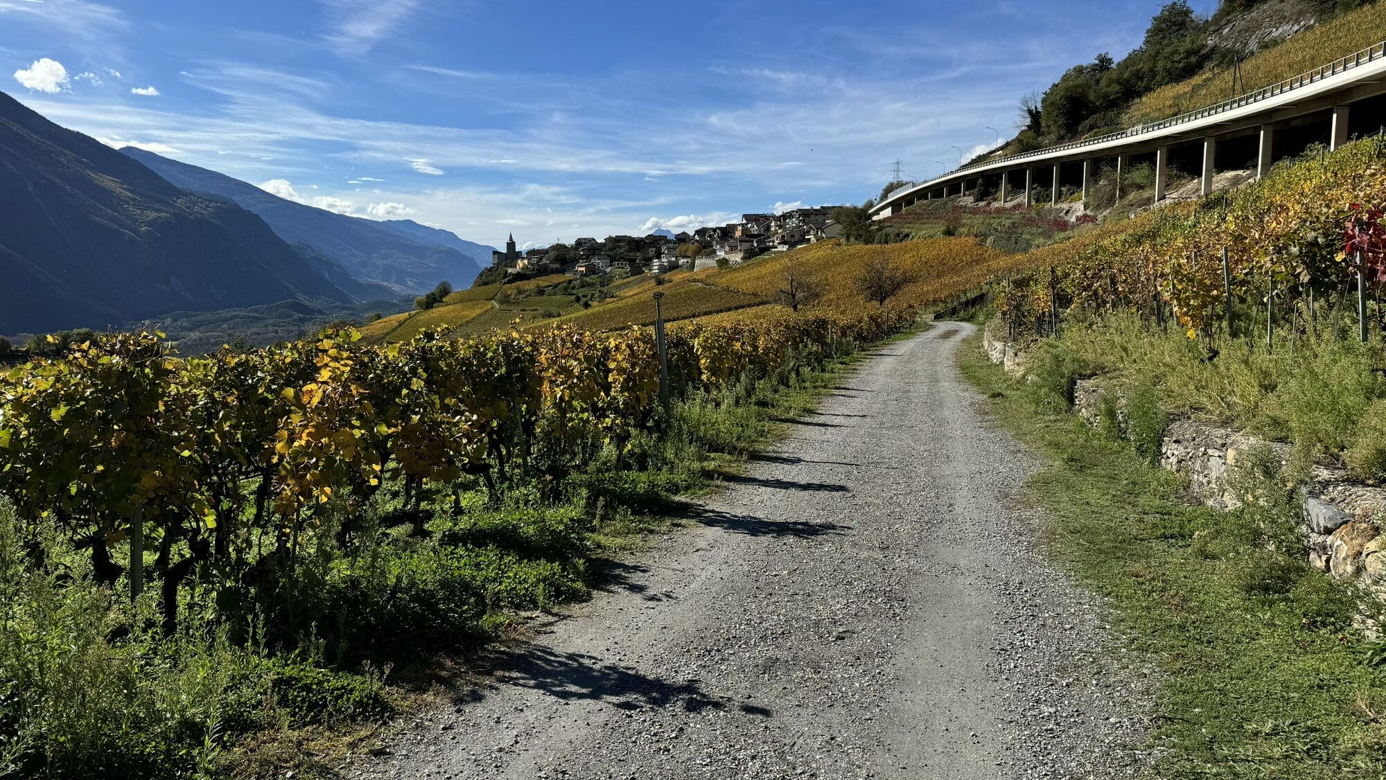
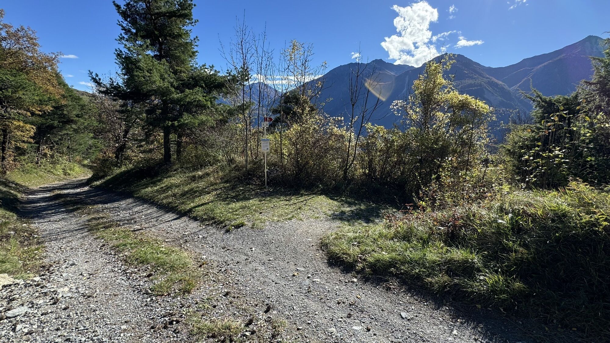
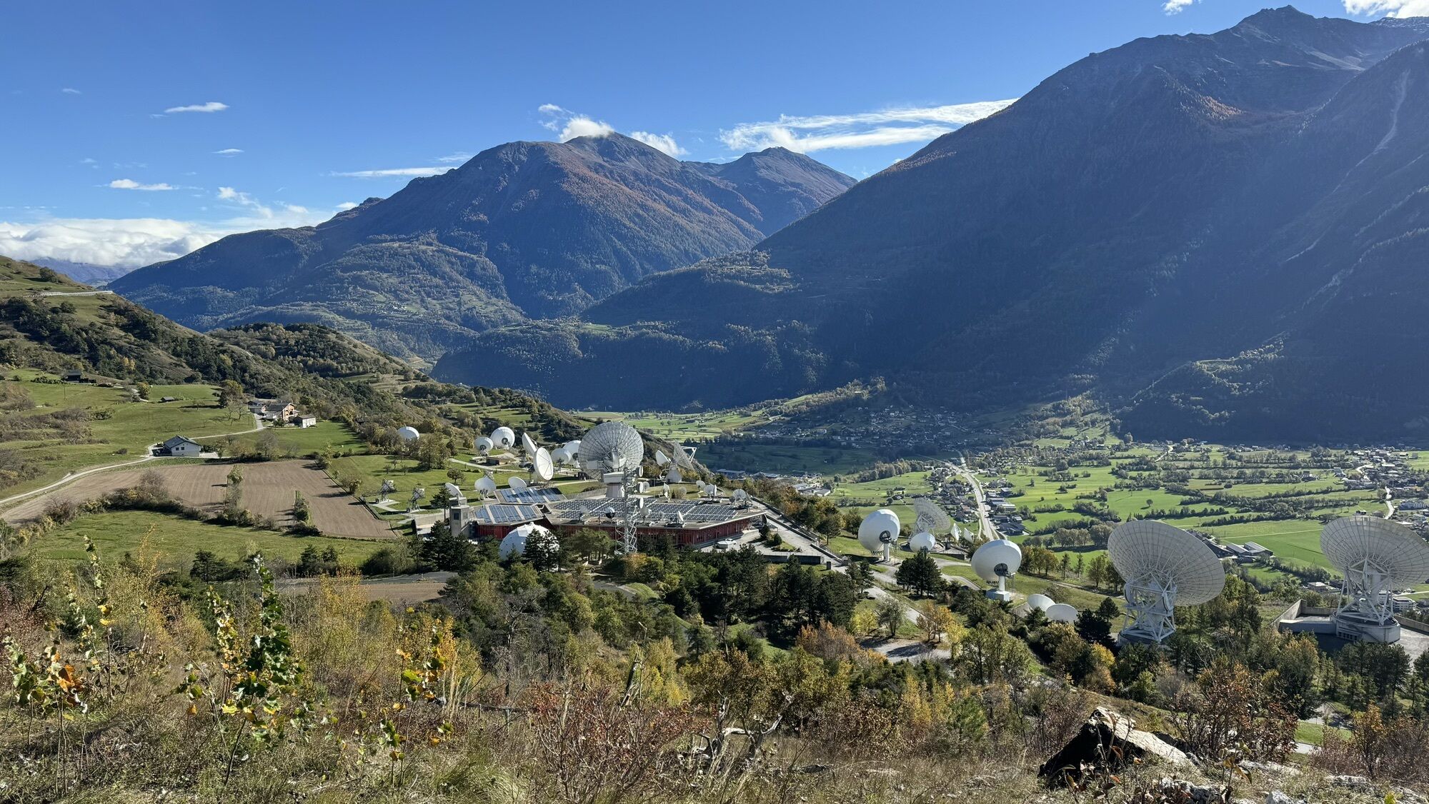
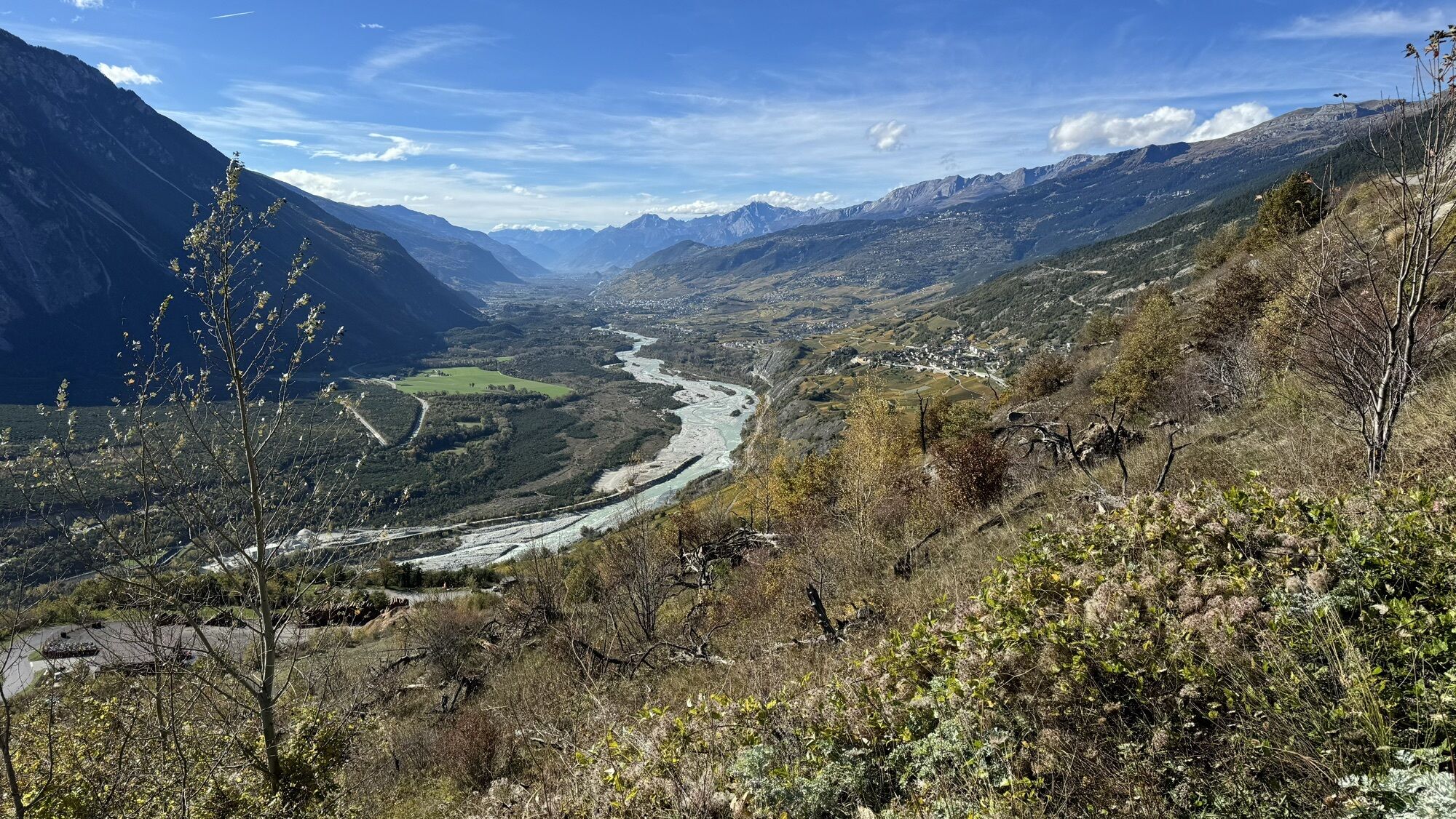
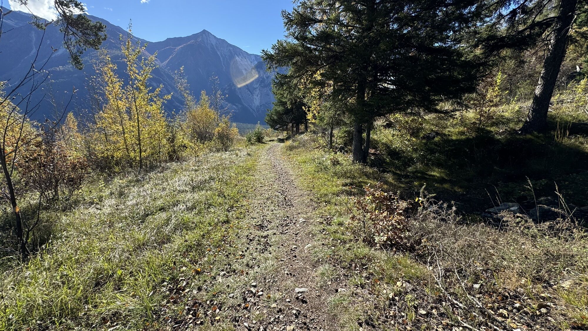
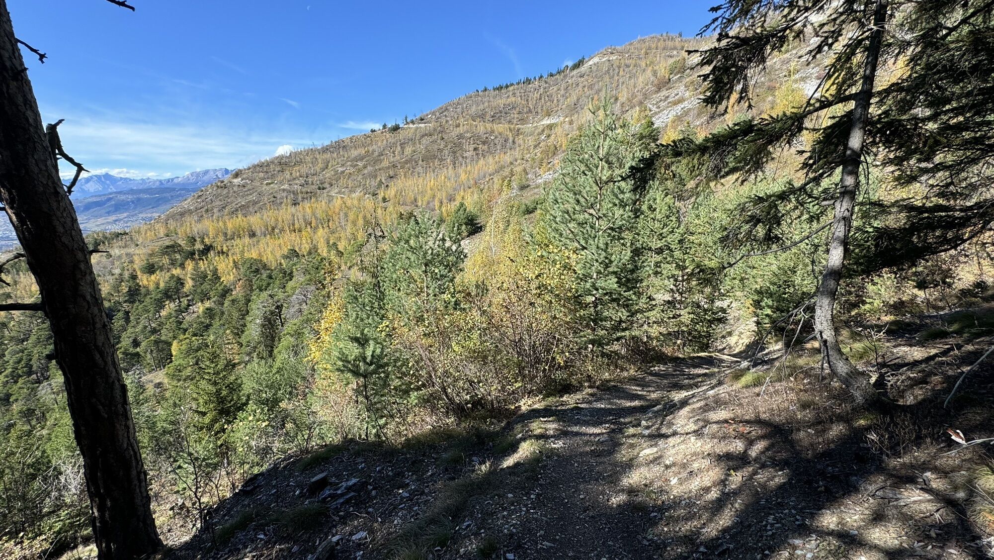
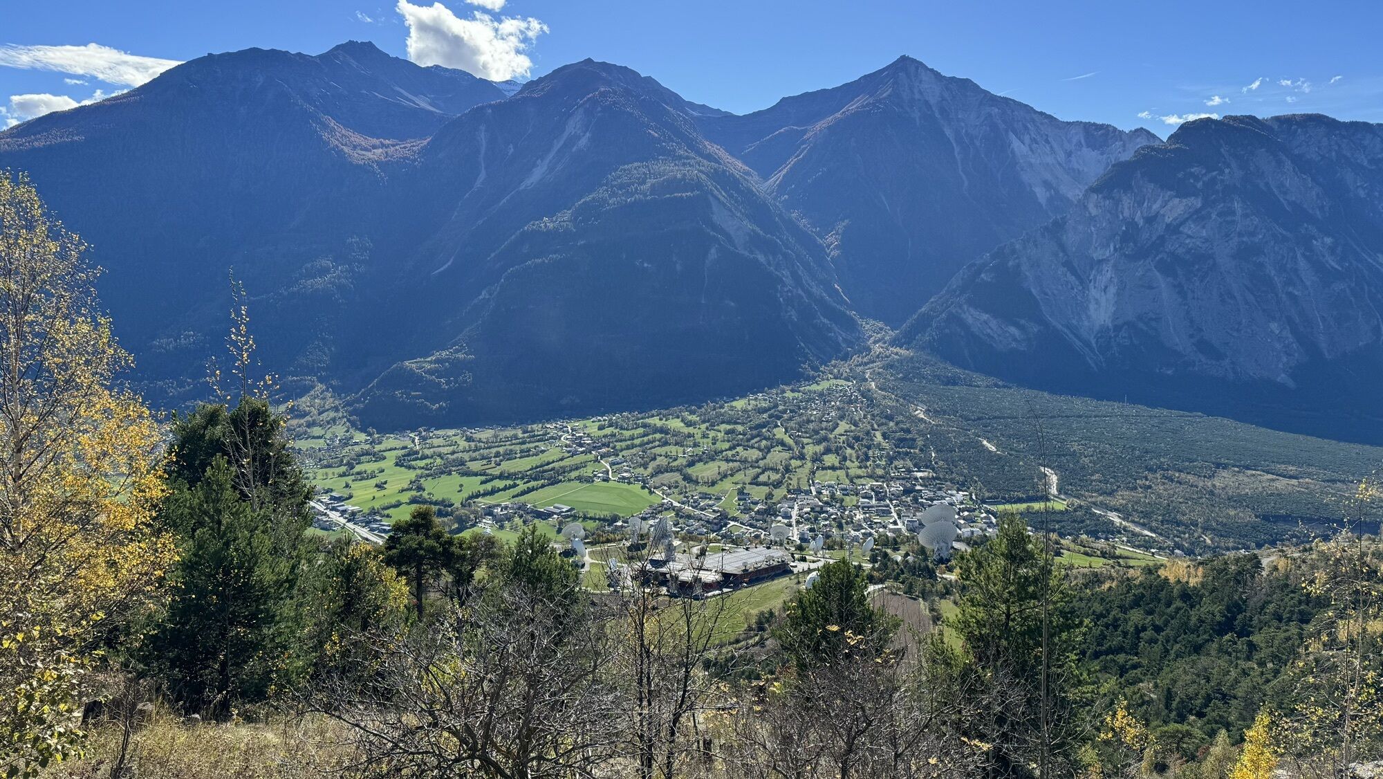
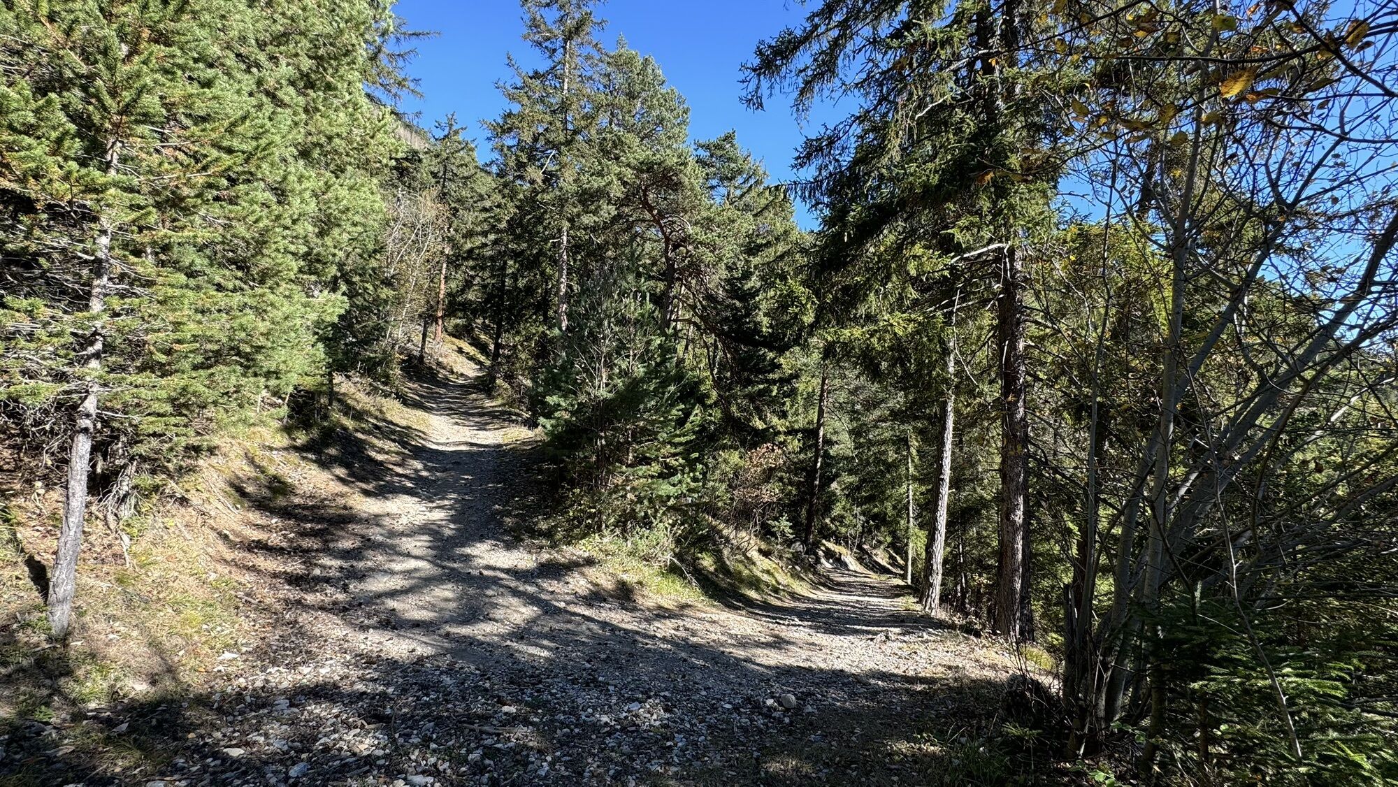
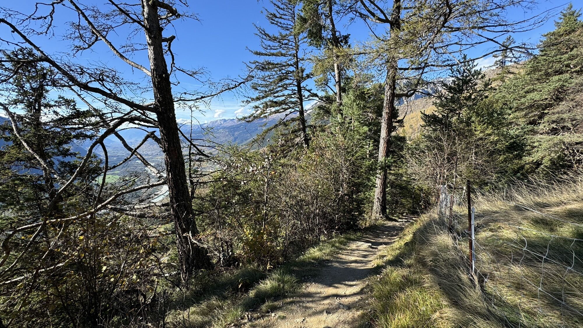
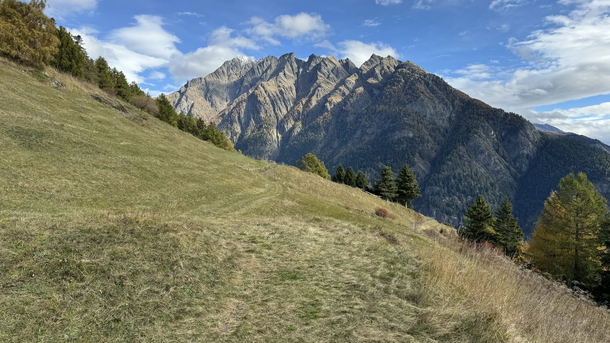
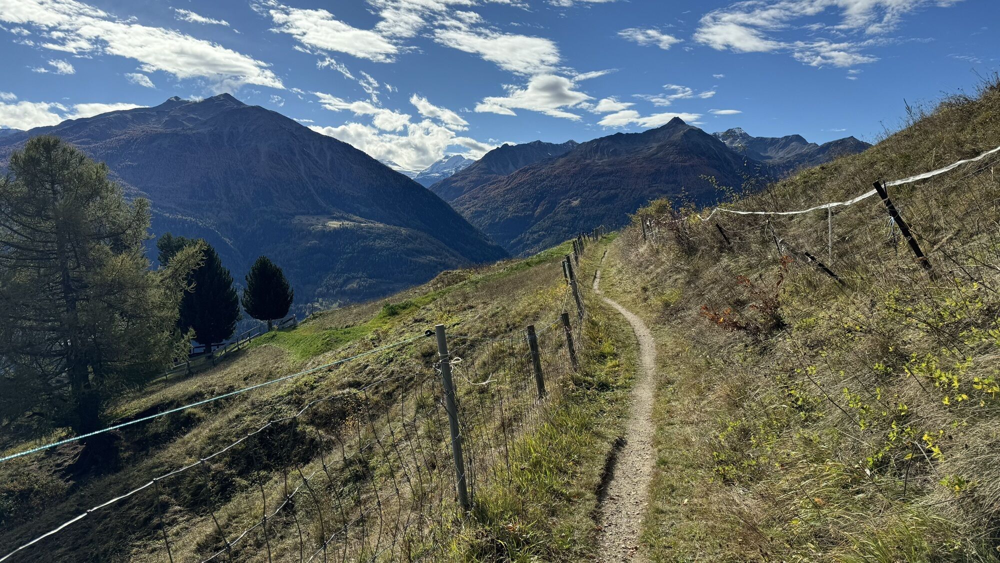
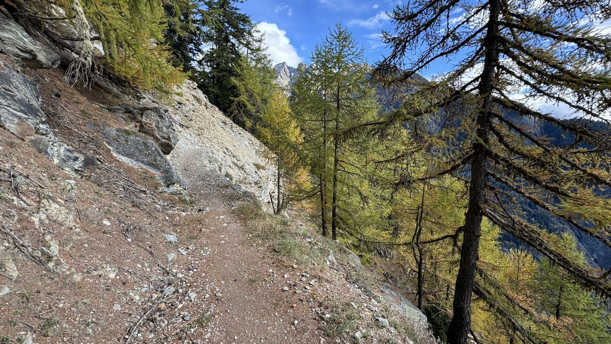
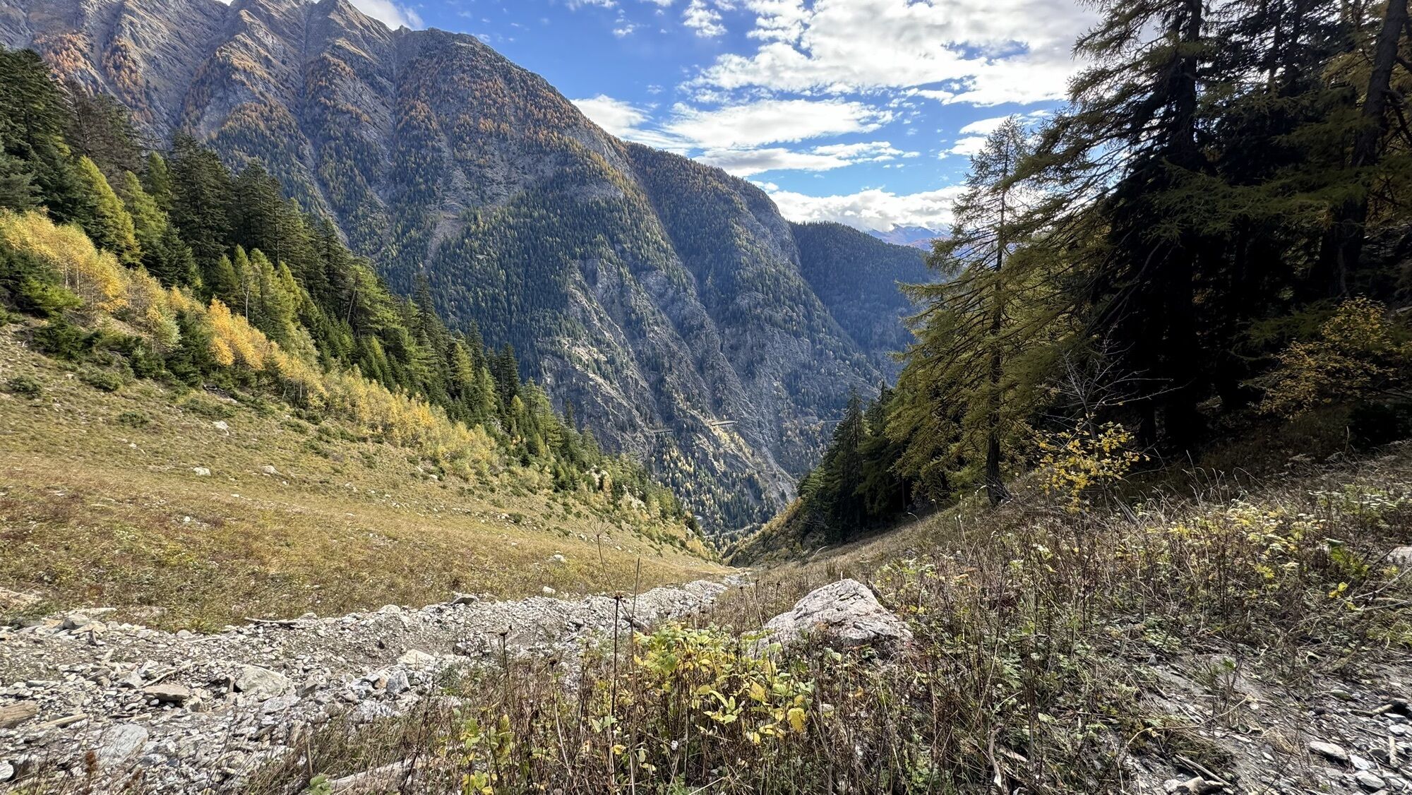

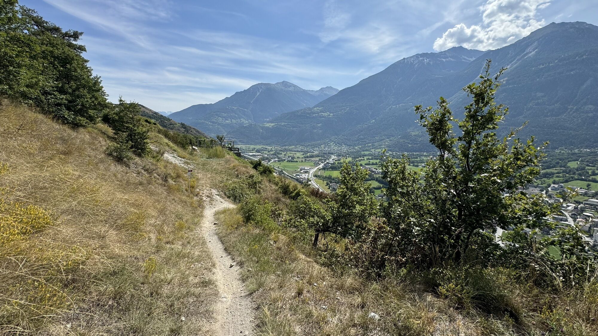
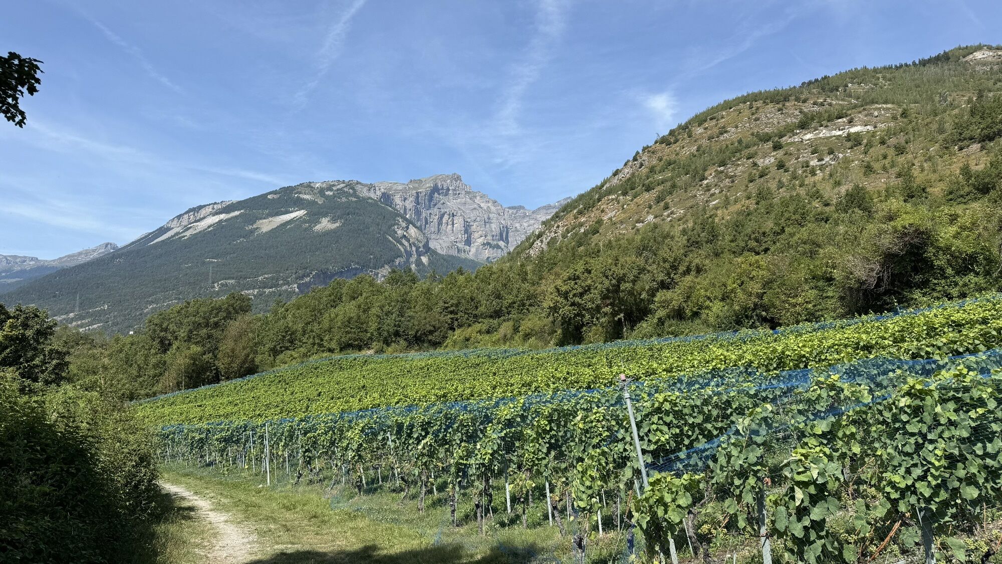
Start this leg by taking the cable car which will get you to Lauchernalp in a few minutes. Get your calves going with the first ascent to Lauchernalp and enjoy the view of the Bietschhorn, before starting...
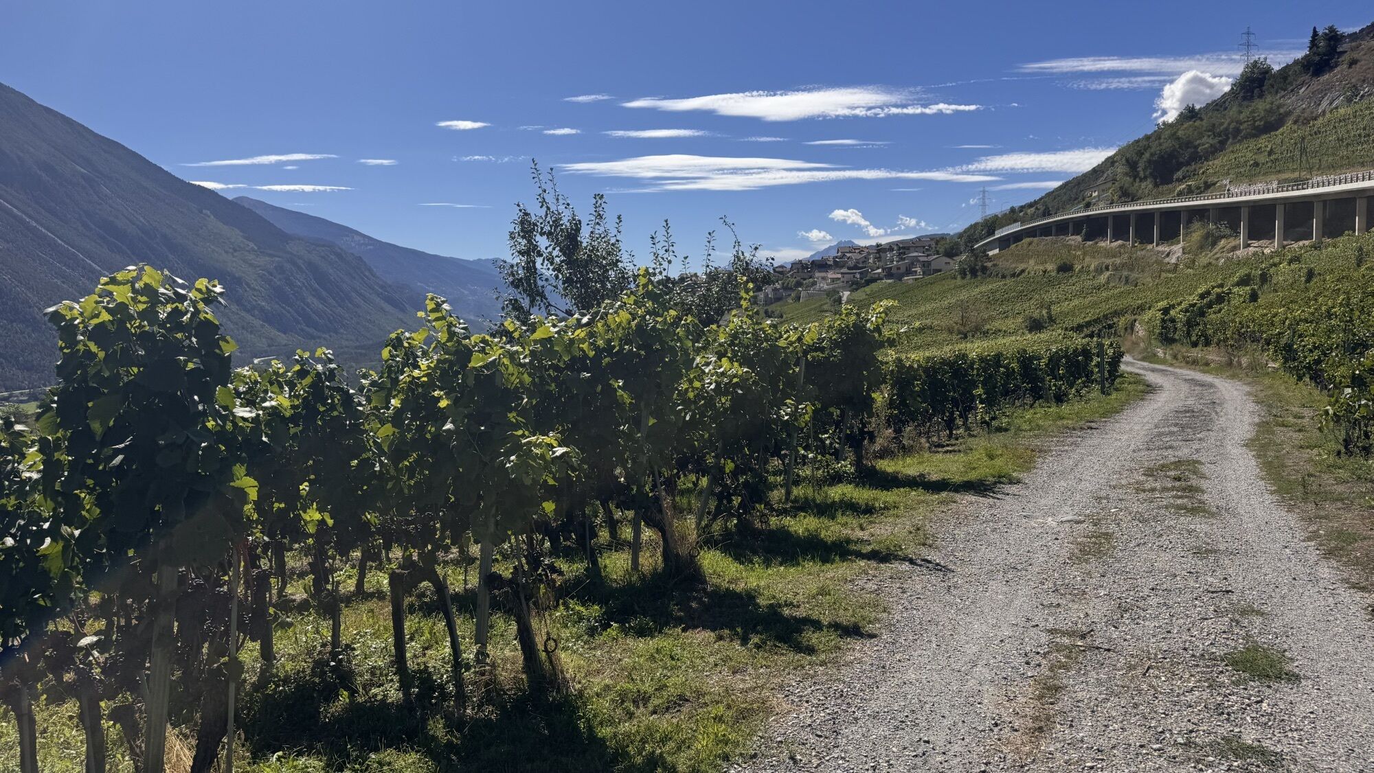
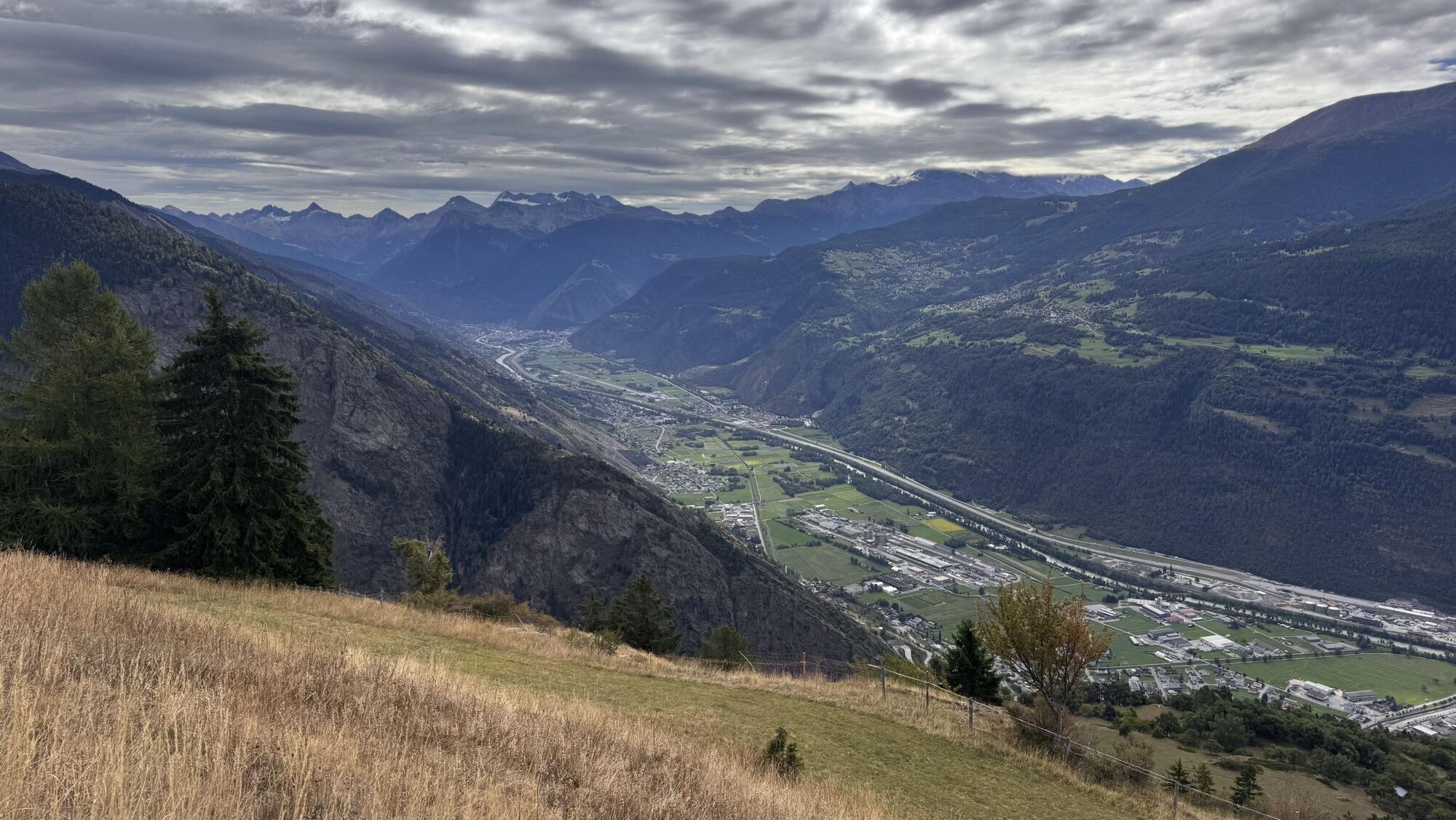
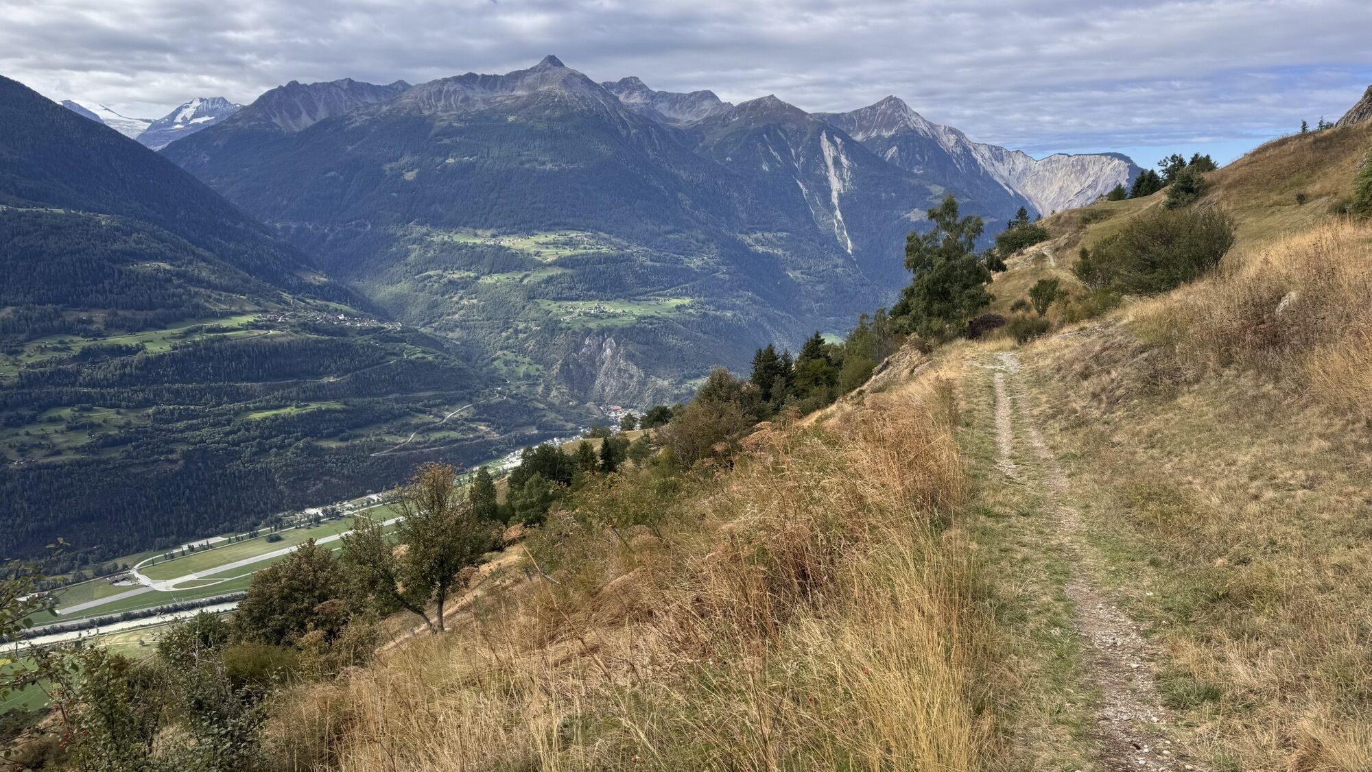
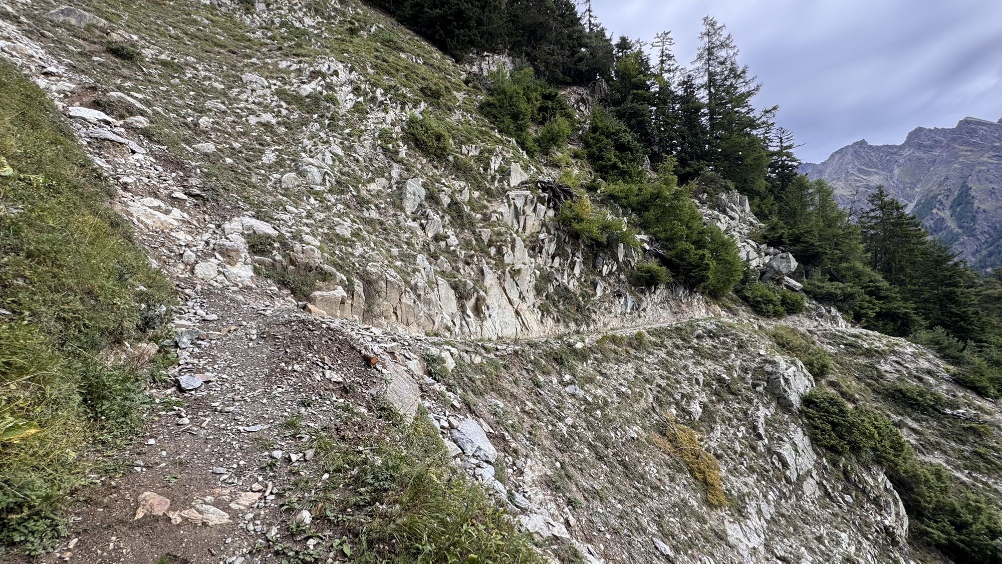
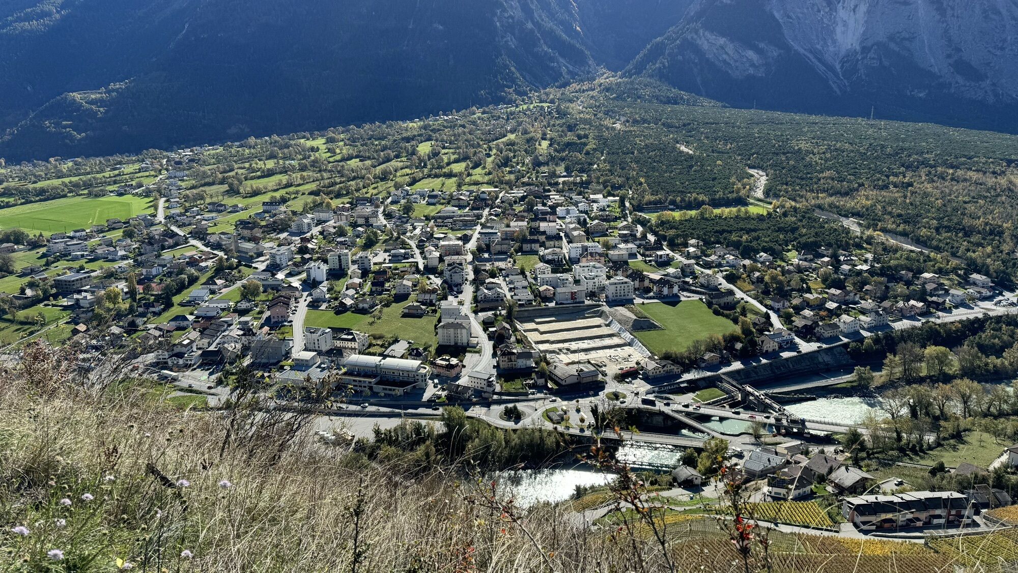
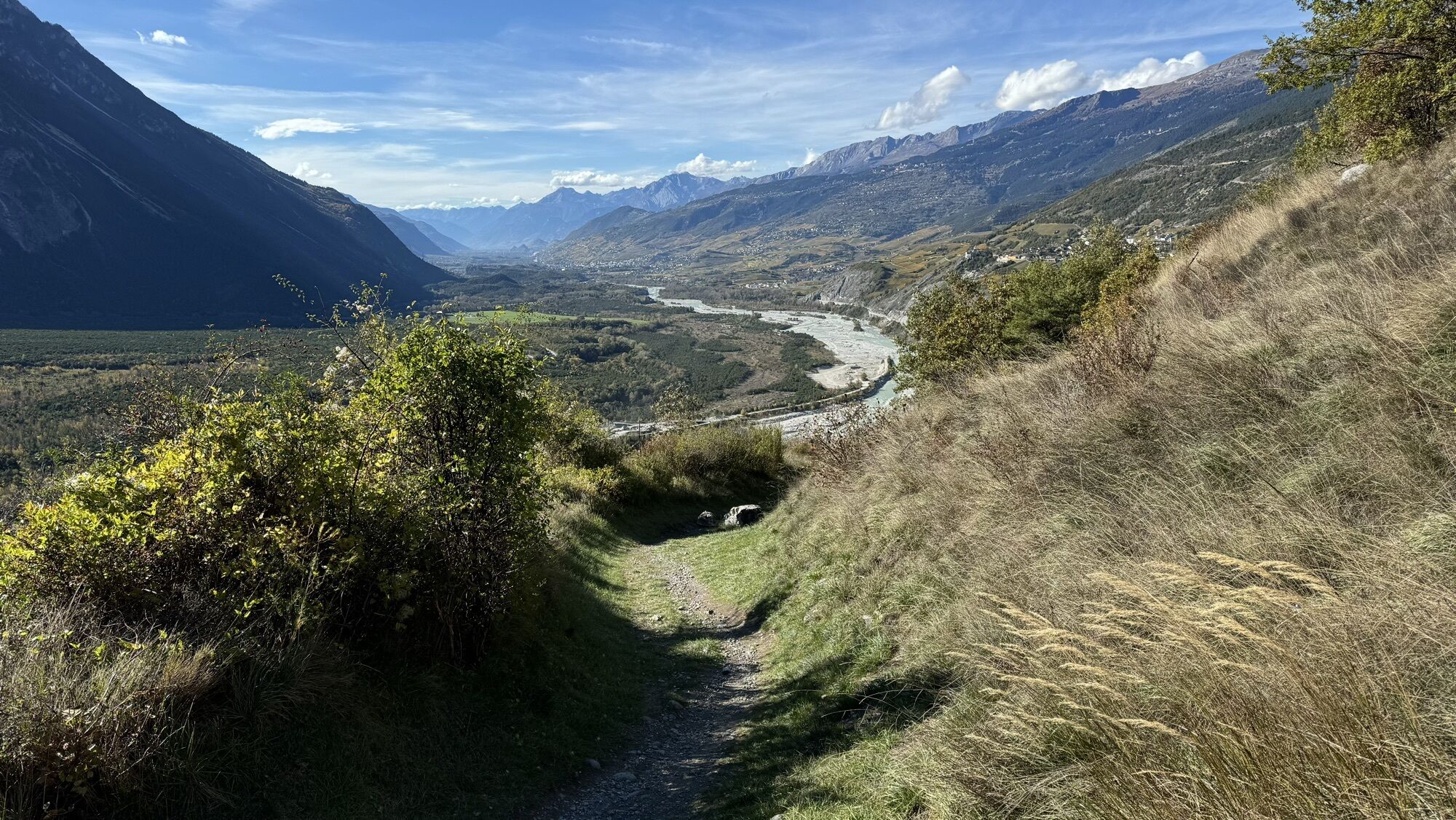
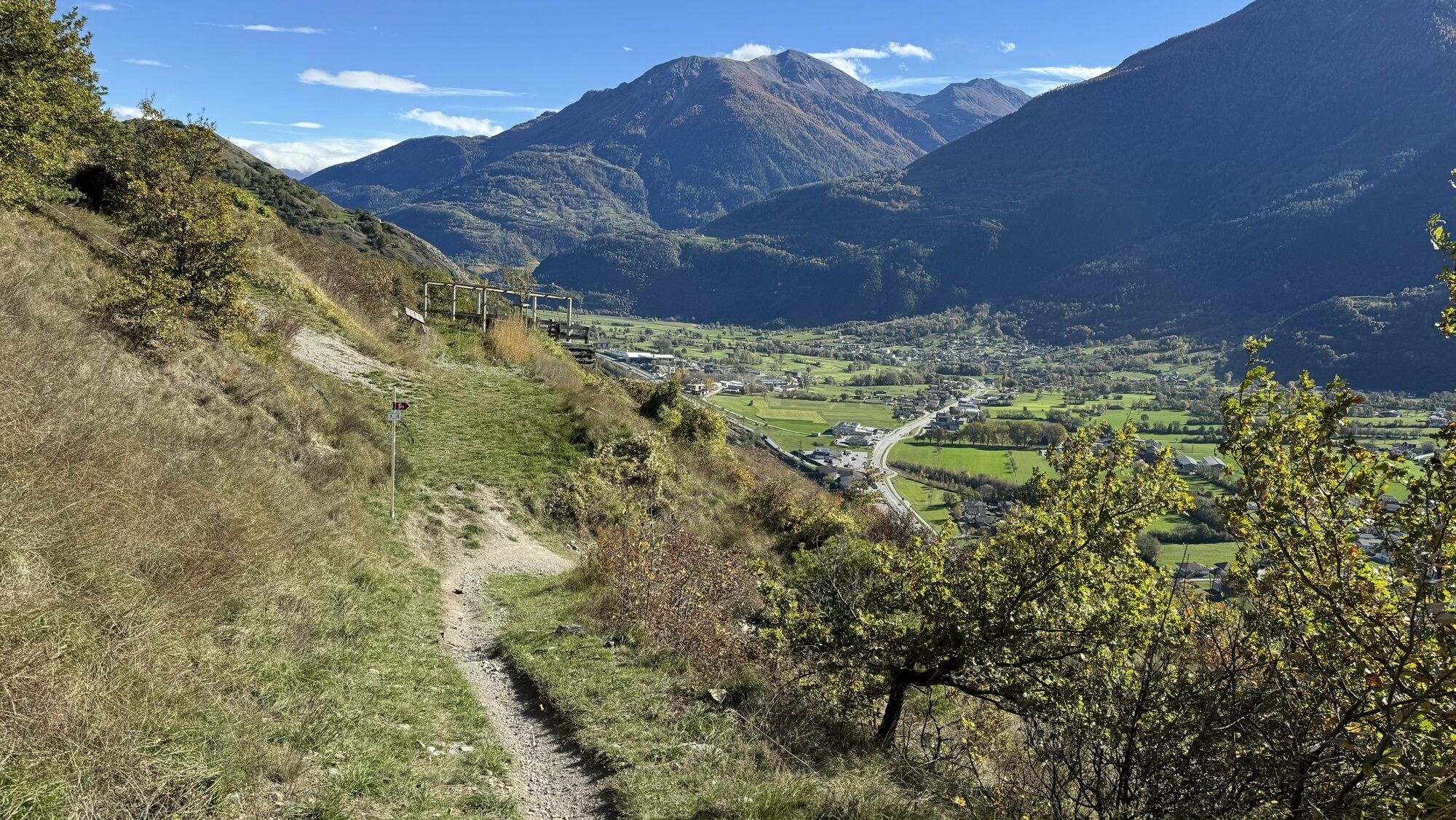
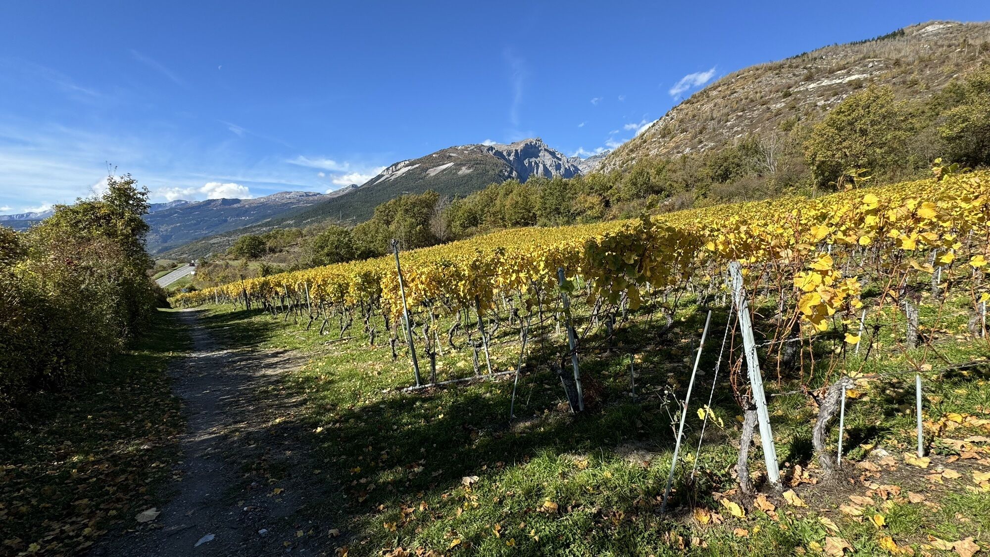
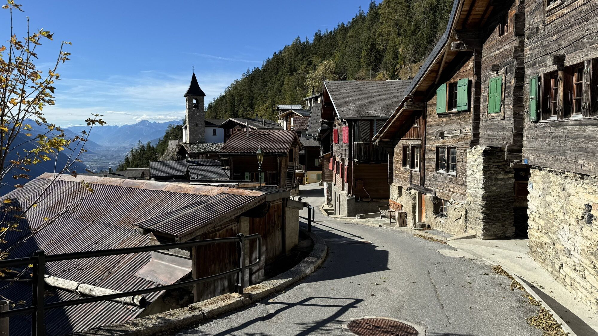
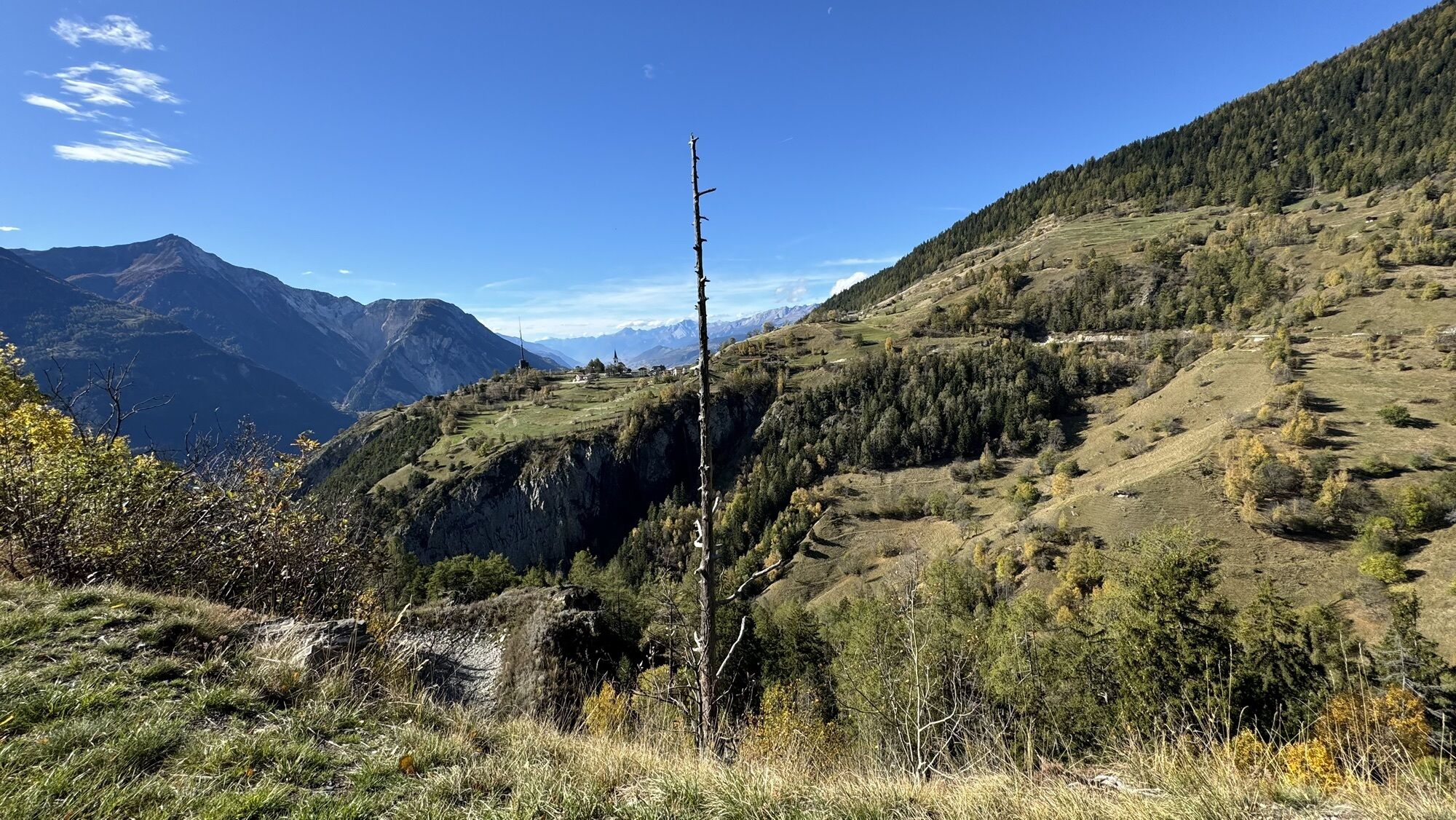
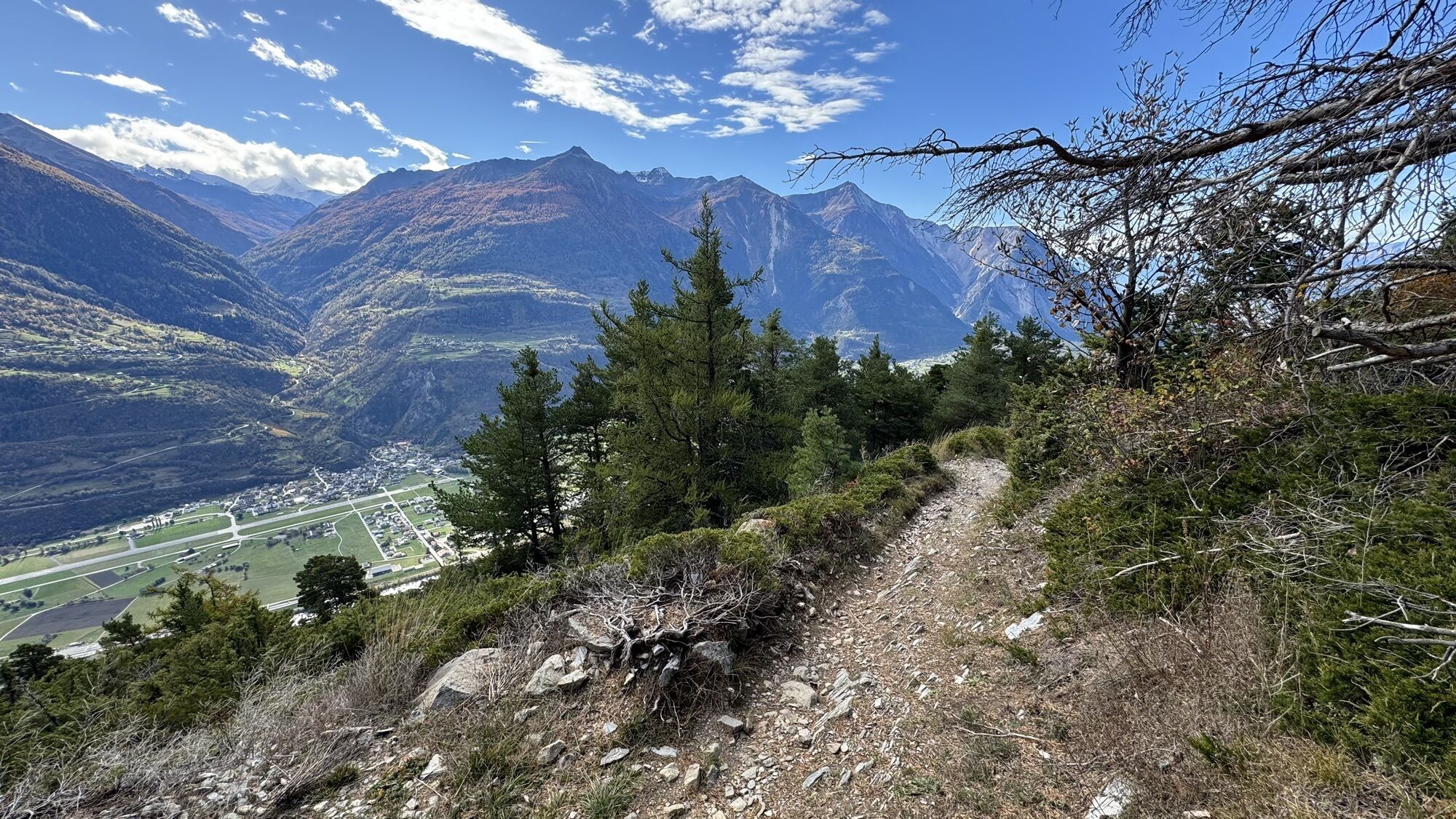
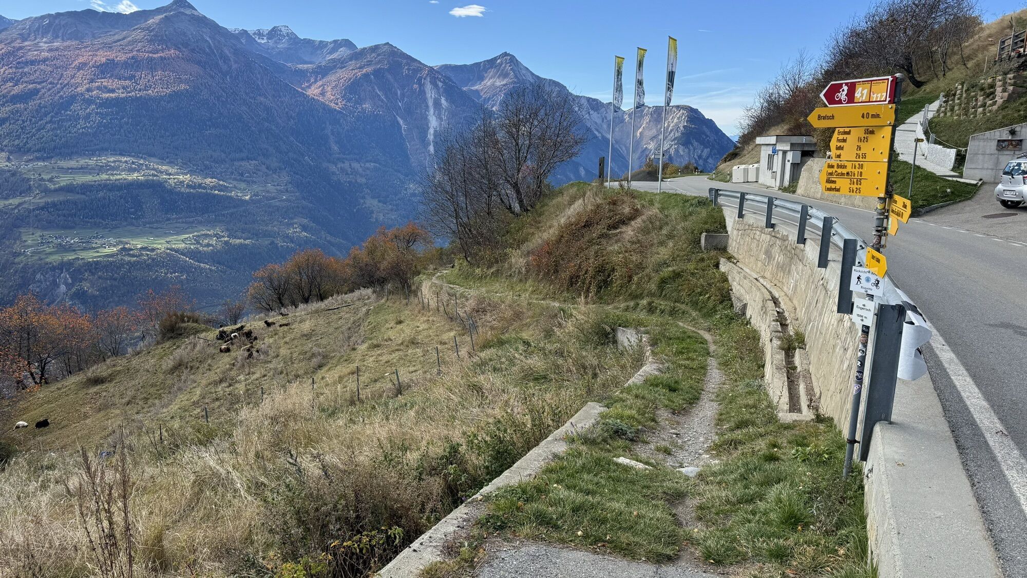
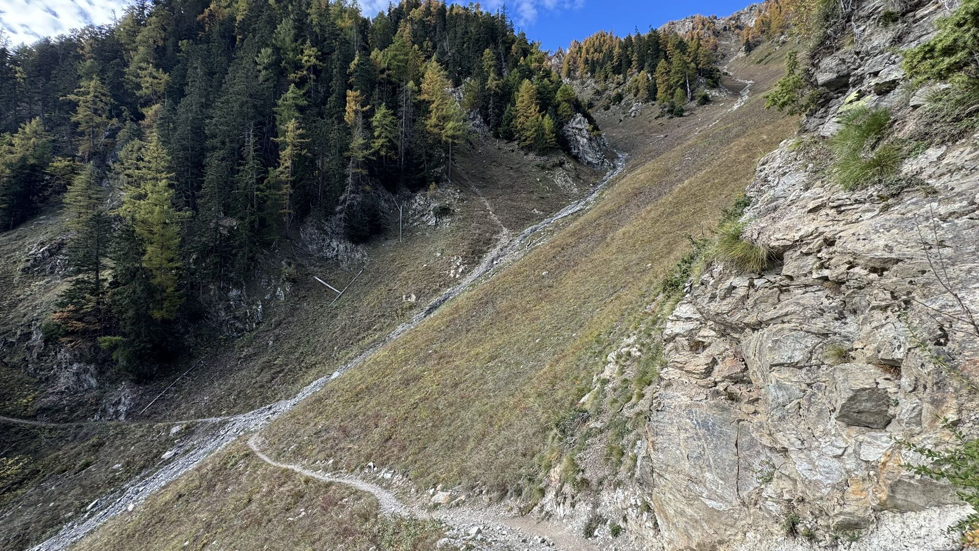
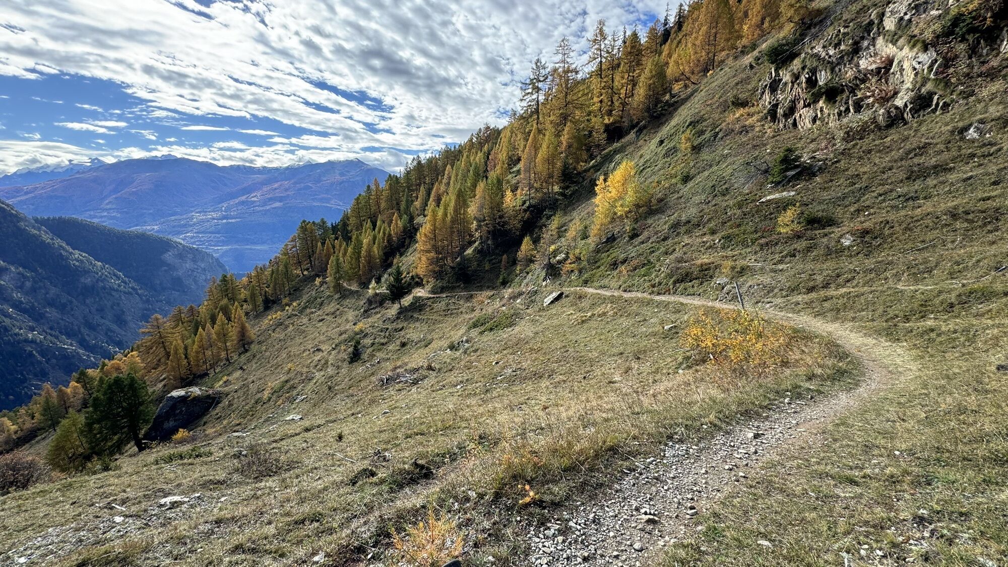
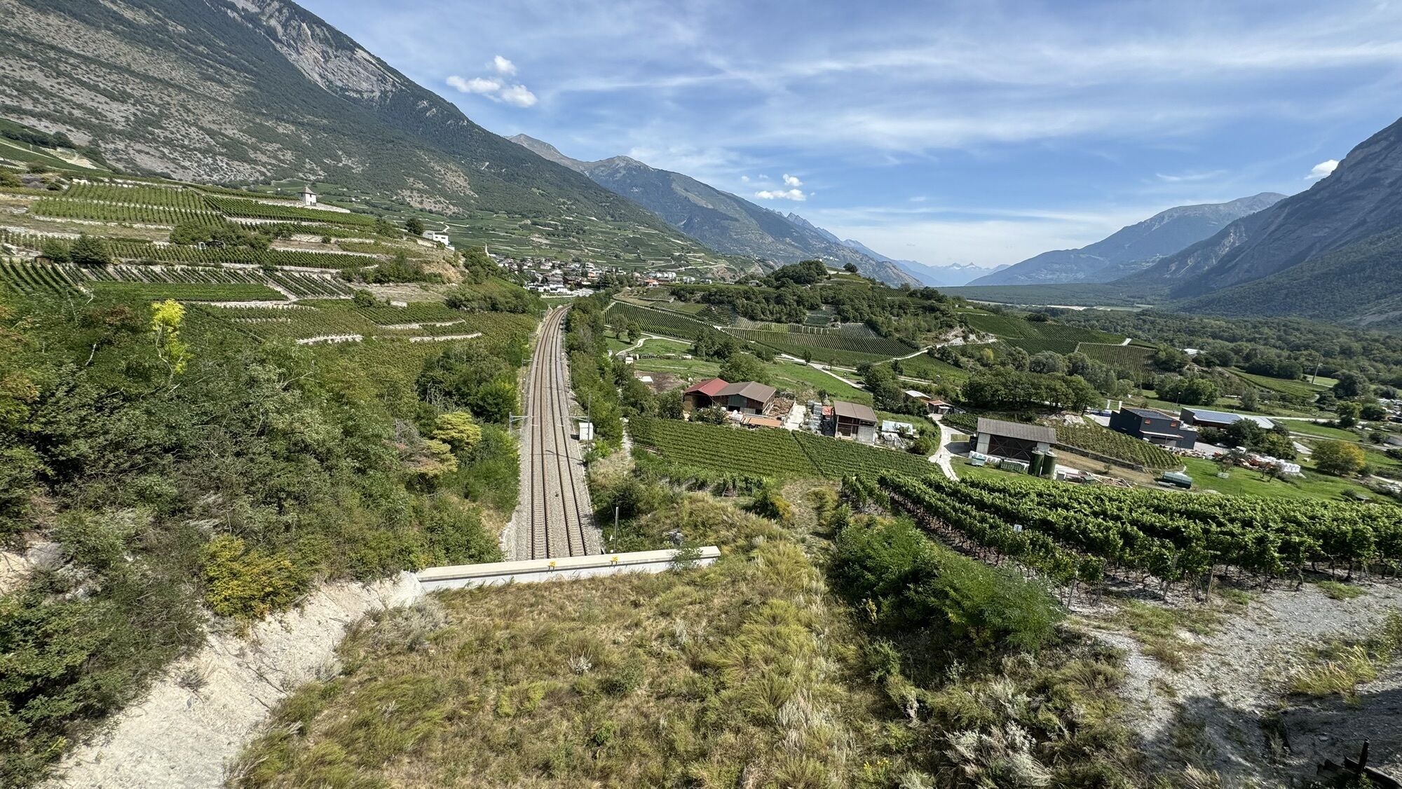
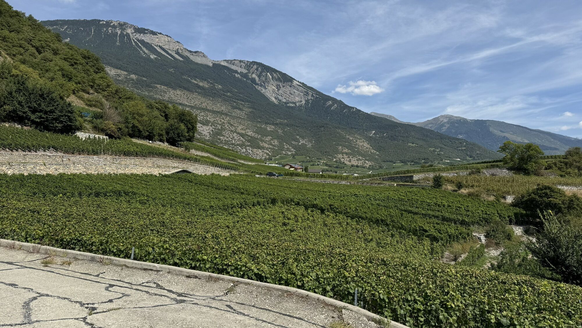
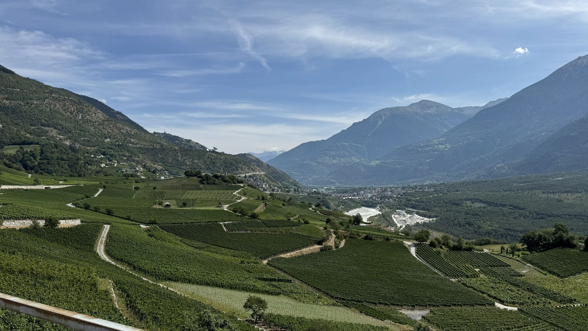
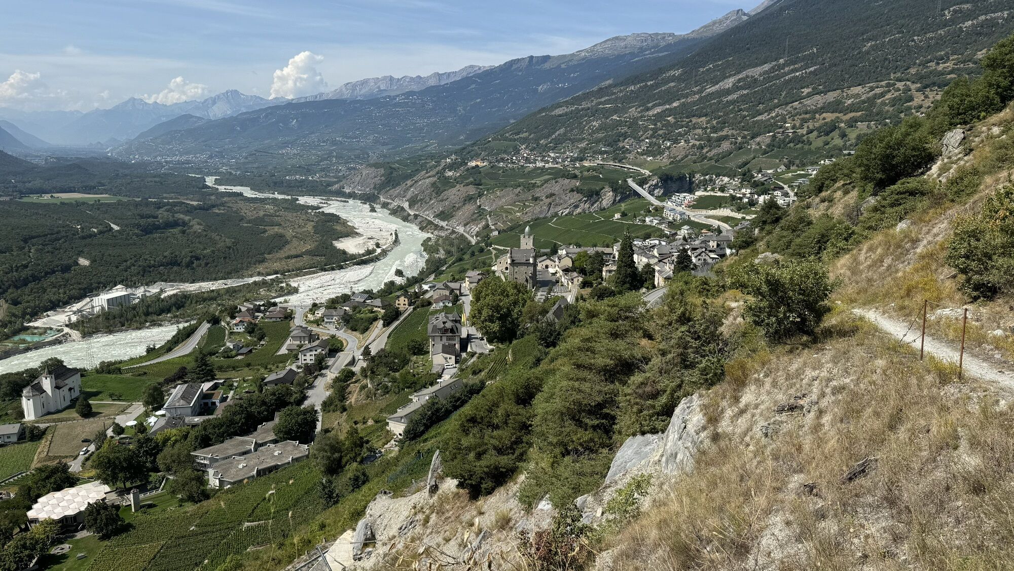
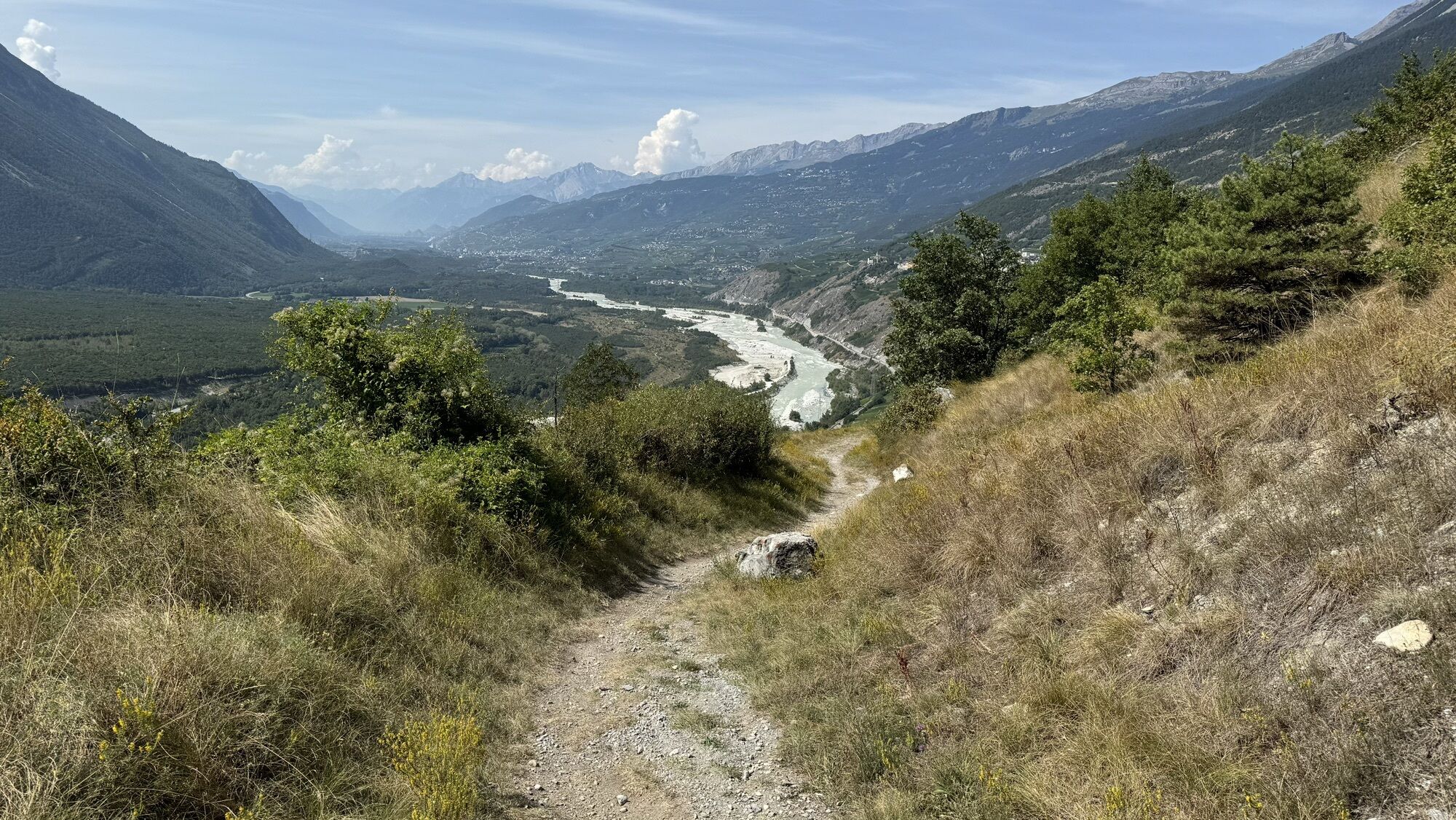
Start this leg by taking the cable car which will get you to Lauchernalp in a few minutes. Get your calves going with the first ascent to Lauchernalp and enjoy the view of the Bietschhorn, before starting the fun part of the day with the Bietschhorn Bike, a newly developed trail for mountain bikers, which offers a “flowy” ride through the Lötschental Alps to Faldumalp. Head up to Oberi Meiggu and continue with a descent through the forest to Jeizinen. You’ll pass through various villages before reaching the town of Leuk with its imposing town hall and castle. Follow the sunny slopes along the Rhône Valley to the wine-growing villages of Varen and Salgesch before ending your excursion in Sierre. The post bus will take you to the stopover village of St-Luc in the Val d'Anniviers.

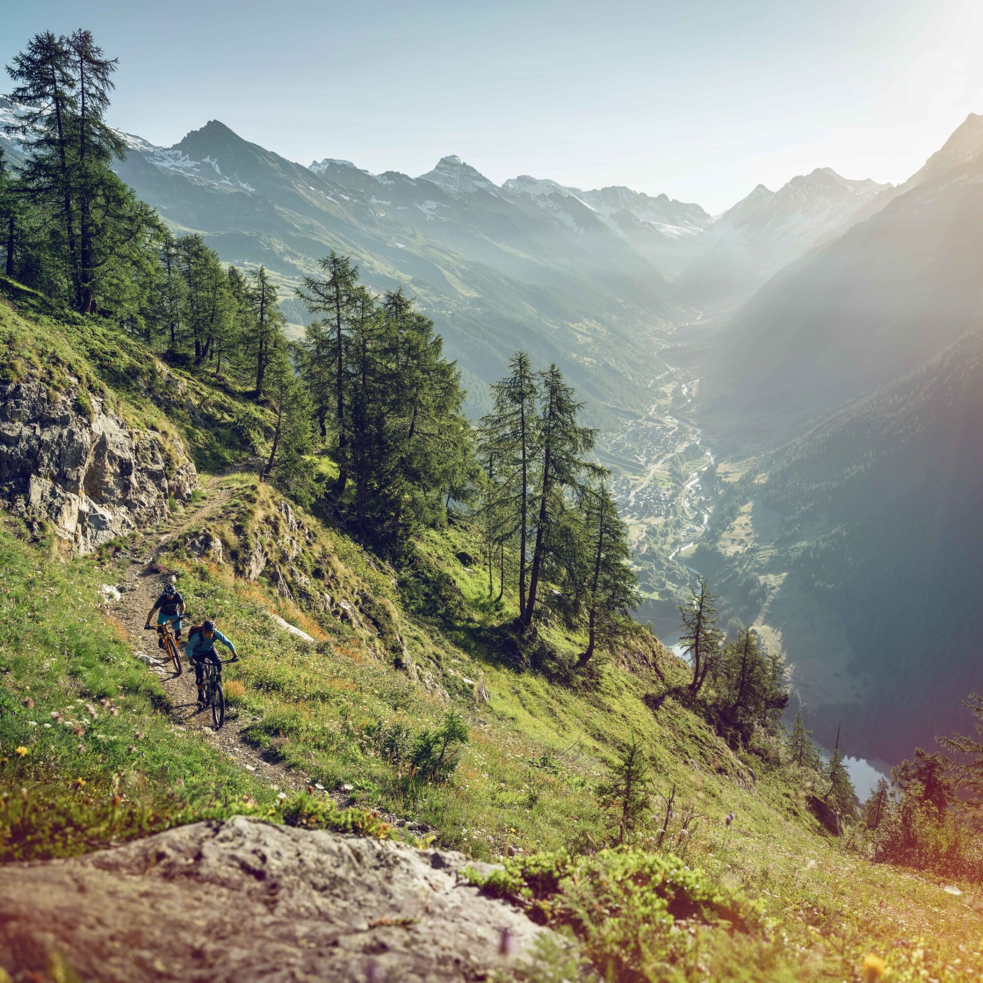
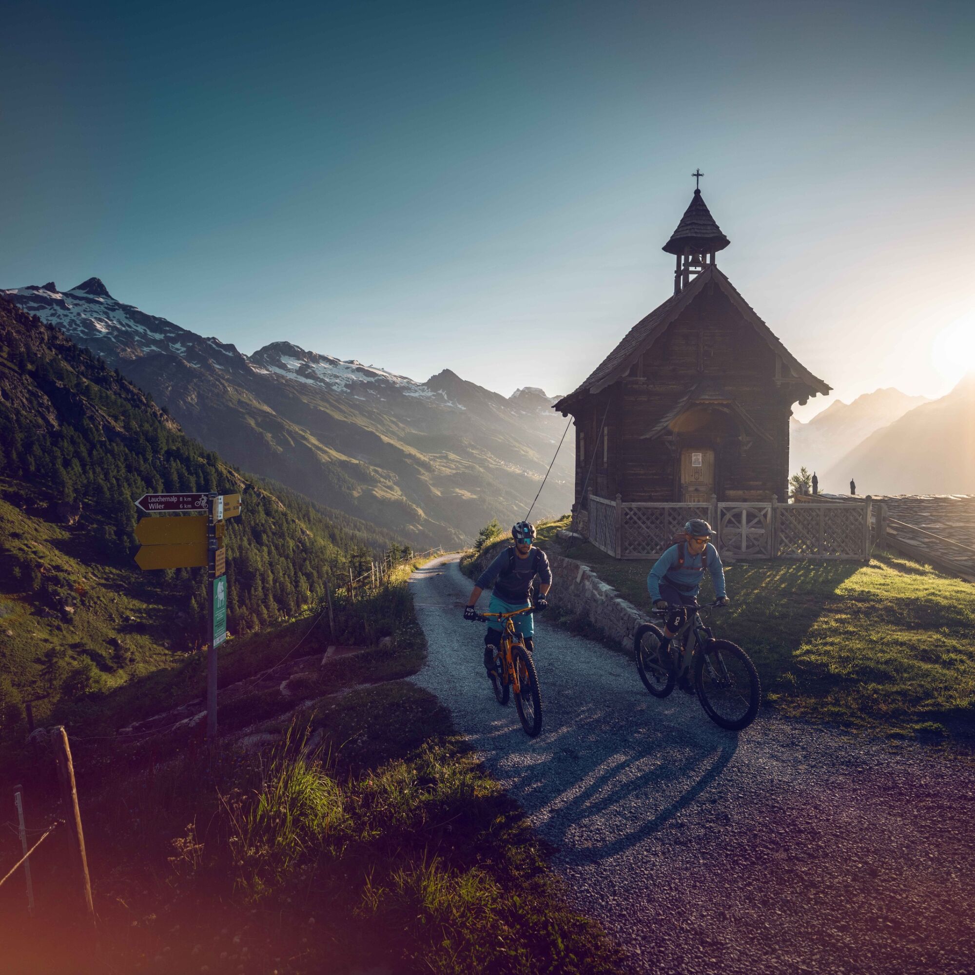
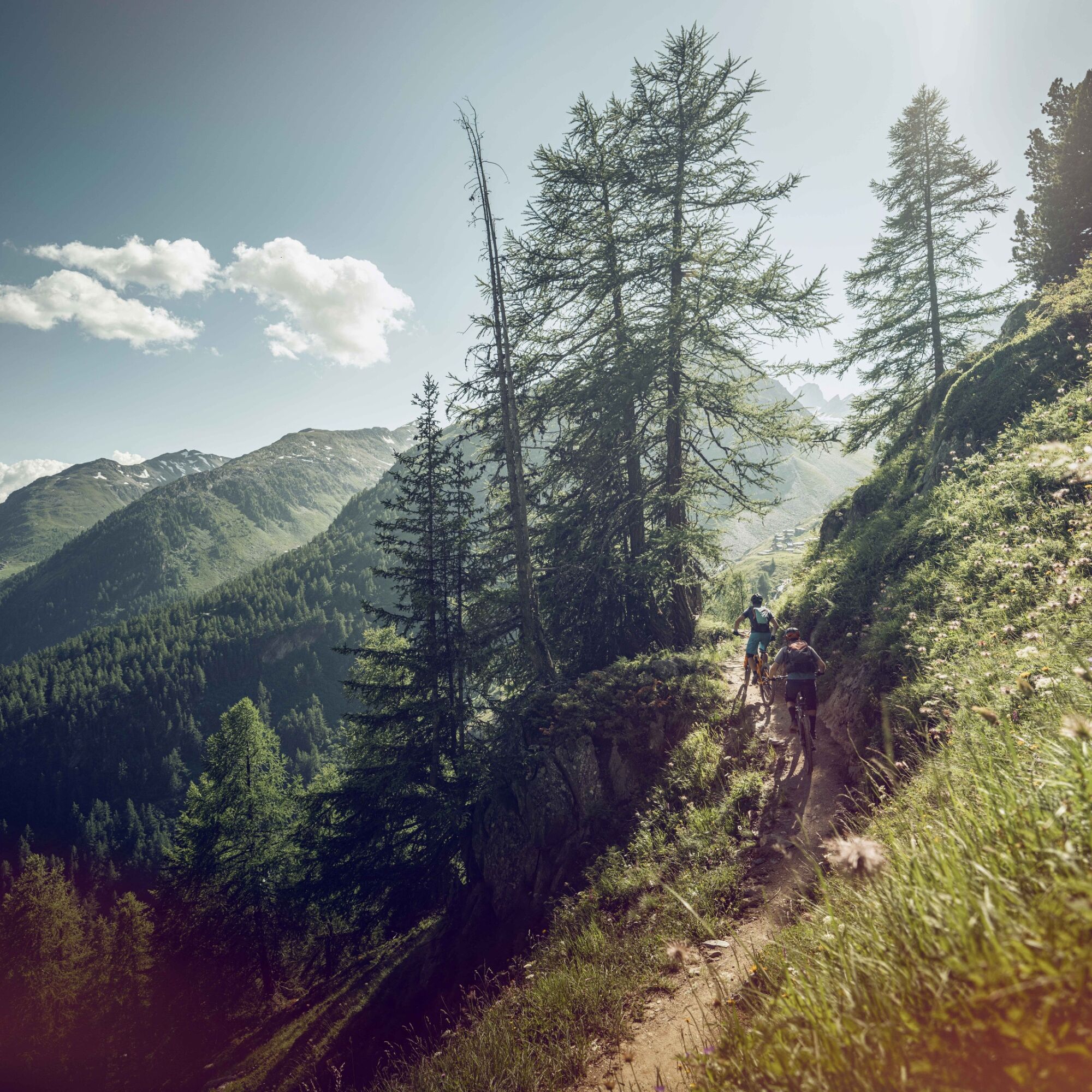
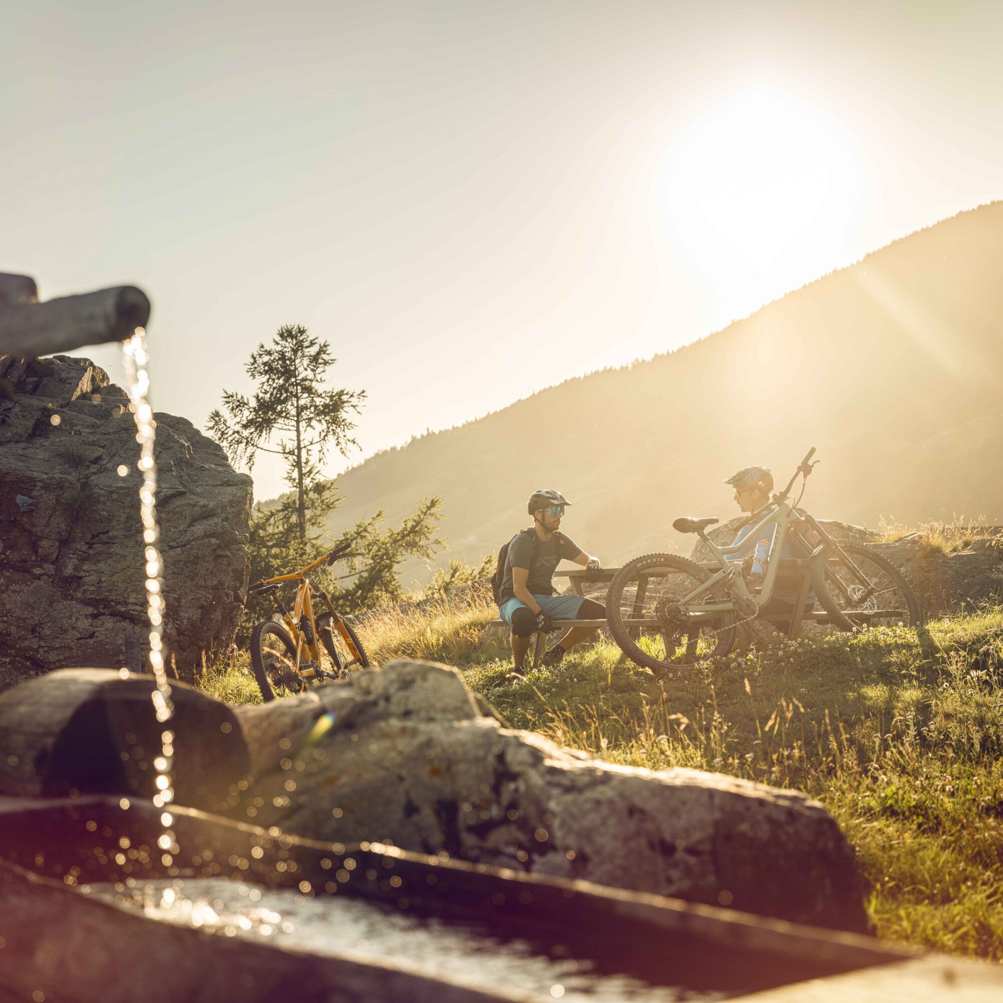

Start your day at the Wiler cable car bottom station. Your route starts at the top of the Lauchernalp gondola, where you will take the Bietschhorn Bike trail. After the first ascent to Lauchernalp, cross the alpine meadows in the direction of Hockenalp, Kummenalp, Restialp, and Faldumalp. From here, head up to the Oberi Meiggu mountain pasture and then down through the forest to the village of Jeizinen, where a short stretch on a tarred road leads to the village of Engersch. Take the new official mountain bike route to Erschmatt, followed by a short climb on a winding road back to the villages of Feschel/Guttet, from where a new descent to Leuk and its famous antennae begins. Continue along the hillside to the villages of Varen and Salgesch, before returning to Sierre. At the end of the day, take the post bus from Sierre to St-Luc. Don't forget to reserve your seat.
View the stage on video
Áno
Áno
Áno
We recommend: a bike in excellent working order, a helmet, gloves and a bell, clothing suitable for the weather (always carry a waterproof), food and drink.
Preparing for mountain bike outings
Follow the Valais Alpine Bike route no. 41 in Mountainbiking in Switzerland. View this tour on SwitzerlandMobility: Valais Alpine Bike no. 41. Use marked bike trails and routes only, making sure you observe all signposting.
The mountains are a place of pleasure to be shared and respected, offering space in which to meet up and share unforgettable moments, whether by bike or on foot. For all outdoor enthusiasts to enjoy them properly, it is essential that mountains are shared in a way that respects both Nature and agriculture. Respectful behaviour enables everyone to enjoy their hobby in the best possible conditions. Find out about the recommendations and rules in place.
When planning, take into account participants’ fitness level and ability. All riding is at one’s own risk.
From Basel and Zurich: Take the A1 motorway to Bern; A6 to Spiez; follow the signs to Kandersteg; Kandersteg–Goppenstein car-carrying train; follow the signs to Wiler.
From Geneva: Take the A1 motorway to Lausanne; follow the signs to Sion/Sierre; Gampel; Goppenstein; Wiler.
From Milan: Take the A8/A26 motorway direction Simplon; Iselle-Brig car-carrying train; follow the signs to Visp; Gampel; Goppenstein; Wiler.
Take the train to Brig (SBB) then the RegioExpress Lötschberger to Goppenstein, followed by the post bus to Wiler. At the end of the day, take the post bus from Sierre to St-Luc. Remember to reserve a place for your mountain bike on the SBB mobile application or on sbb.ch.
Follow the directions for parking in Gampel-Steg or Wiler. For this leg of the Valais Alpine Bike, we recommend that you park your vehicle in Sierre or Leuk and get to Wiler (Lötschental) using public transport (SBB and post bus).
S2
Book one of the Valais Alpine Bike holiday offers! Choose between three, four or seven nights and enjoy some great riding days. You will be staying in bike hotels and will be provided with a daily luggage transport service; all that’s left for you to do is hit the trails! Go to www.visitvalais.ch/shop-valais-alpine-bike.
More information about the destination:
Valais Bike regional route: see full itinerary
View this tour on SwitzerlandMobility: Valais Alpine Bike no. 41
Don't miss the Alpine village of Erschmatt with its rye museum, along with the historic town of Loèche.
Webové kamery z prehliadky
-
Bergstation Luftseilbahn Wiler-Lauchernalp
-
Luzerner Höhenklinik Montana
-
Torrent - Schwalbennest
-
Jeizinen - Feselalpe
-
Torrent - Rinderhütte
-
Stafel
-
Stafel
-
Stafel
-
Stafel
-
Bergstation Luftseilbahn Wiler-Lauchernalp
-
Bergstation Luftseilbahn Wiler-Lauchernalp
-
Bergstation Luftseilbahn Wiler-Lauchernalp
-
Bergstation Luftseilbahn Wiler-Lauchernalp
-
Bergstation Luftseilbahn Wiler-Lauchernalp
-
Bergstation Luftseilbahn Wiler-Lauchernalp
-
Hockenhorngrat
-
Hockenhorngrat
-
Hockenhorngrat
-
Hockenhorngrat
-
Hockenhorngrat
-
Hockenhorngrat
-
Restaurant Üflängen
-
Trächu Hittu / Untere Feselalpe
-
Stafel
-
Bratsch
-
Obere Feselalpe
-
Torrent Rinderhütte
-
LGJ Bergstation
-
Wiler Lötschental
-
Le Mont
-
Creux du Lavioz
Získajte prehľad
Vždy naživo na mieste s viac ako 9 500 webovými kamerami. bergfex Ako používateľ Pro si teraz môžete pozrieť príslušné webové kamery pre mnohé zájazdy v aplikácii zájazdy z. Môžete si tak priamo prezerať aktuálne podmienky.
Obľúbené výlety v okolí
-
4,0
Rundwanderung Lötschenpasshütte
strednáTuristika 12,2 km -
4,8
Lötschentaler Höhenweg
svetloTuristika 9,17 km -
5,0
Lauchernalp-Lötschenpass-Selden
ťažkéTuristika 12,0 km -
4,7
Leukerbad - Gemmipass - Lämmerenhütte
strednáTuristika 9,49 km -
5,0
Restipass
Turistika 14,5 km -
5,0
Bella-Tola
strednáVysoké turné 6,72 km -
4,0
Gemmipass - Lämmerenhütte - Rote Totz Lücke - Daubensee - Gemmipass
strednáTuristika 13,7 km -
5,0
Torrenthorn- Rigi der Walliser Alpen
Turistika 2,99 km -
Zu den Engstligenfällen
strednáTuristika 8,06 km -
5,0
Klettersteig Daubenhorn
ťažkéVia ferrata 5,34 km
Turistika a stopovanie


Nenechajte si ujsť ponuky a inšpiráciu na ďalšiu dovolenku
Vaša e-mailová adresa bol pridaný do poštového zoznamu.





