







Moosalp Plateau Bike
Úroveň náročnosti: S1
Places to eat: Restaurant Moosalp, Restaurant Dorbia on the Moosalp, Restaurant Panorama Bürchneralp, Hotel-Restaurant Bürchnerhof Bürchen, Hotel-Restaurant Ronalp Bürchen, Pizzeria Mamma Mia Bürchen,...
Places to eat: Restaurant Moosalp, Restaurant Dorbia on the Moosalp, Restaurant Panorama Bürchneralp, Hotel-Restaurant Bürchnerhof Bürchen, Hotel-Restaurant Ronalp Bürchen, Pizzeria Mamma Mia Bürchen, Restaurant Alpenrösli Bürchen
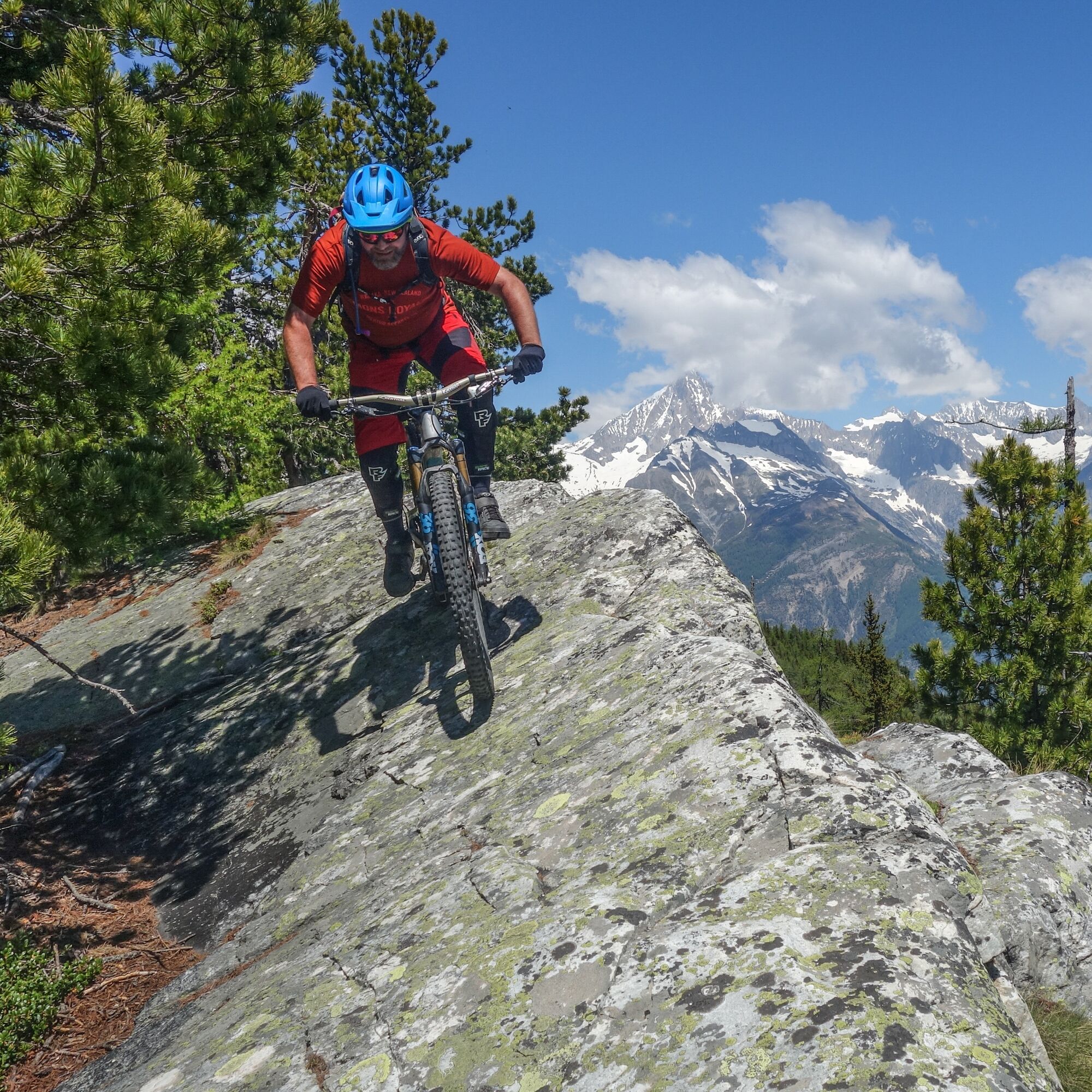
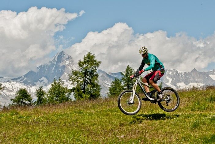
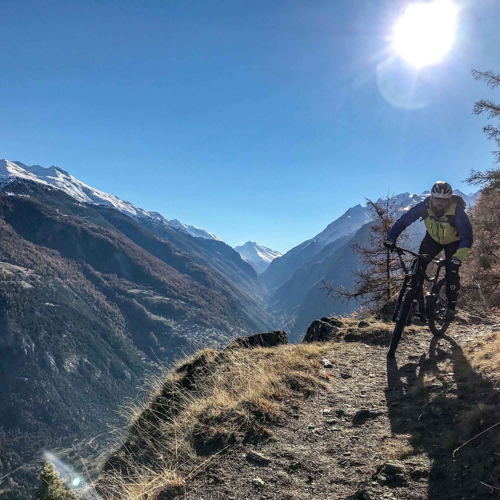
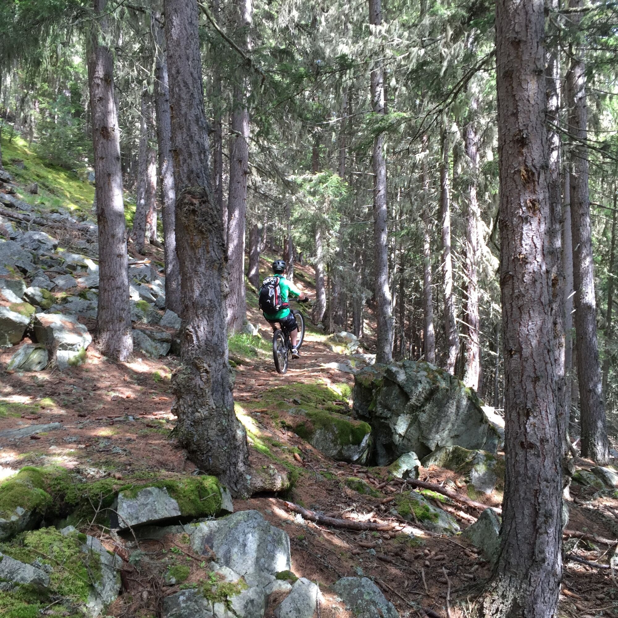

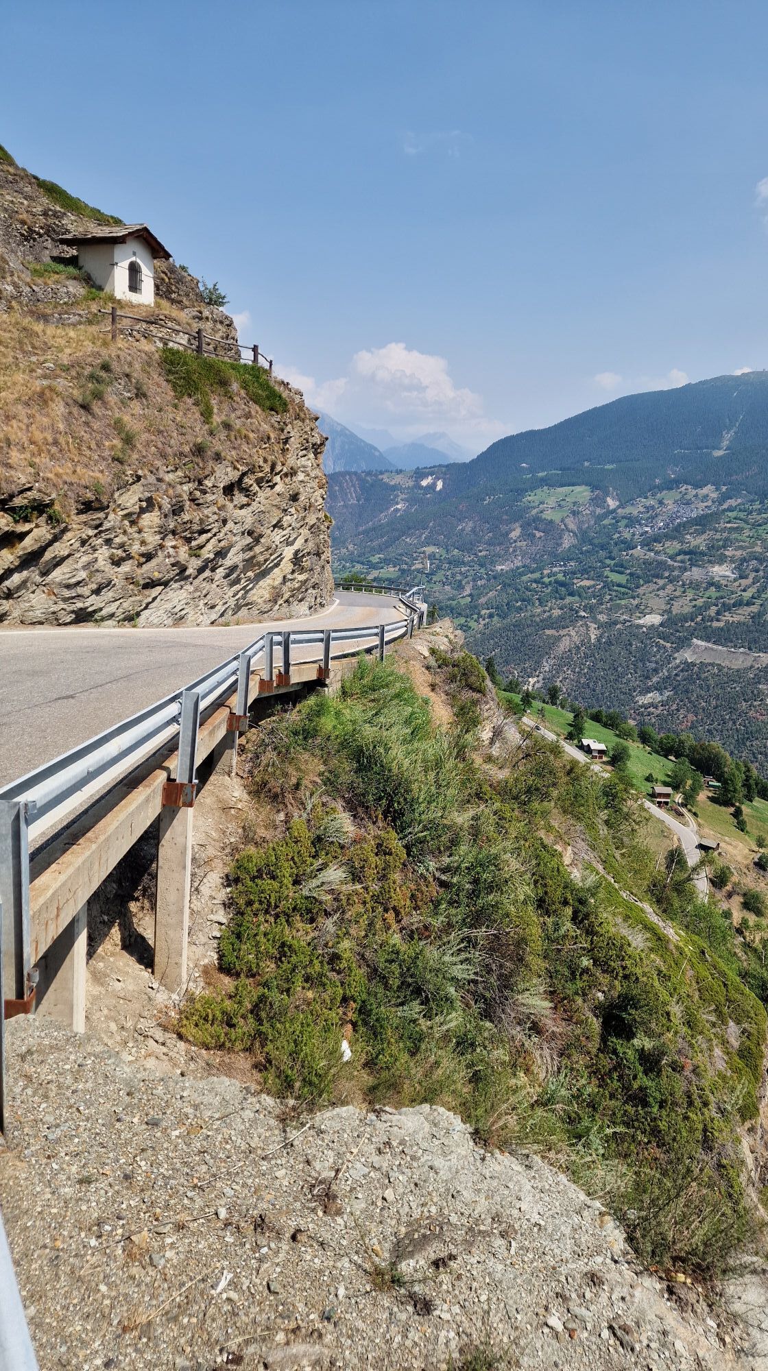
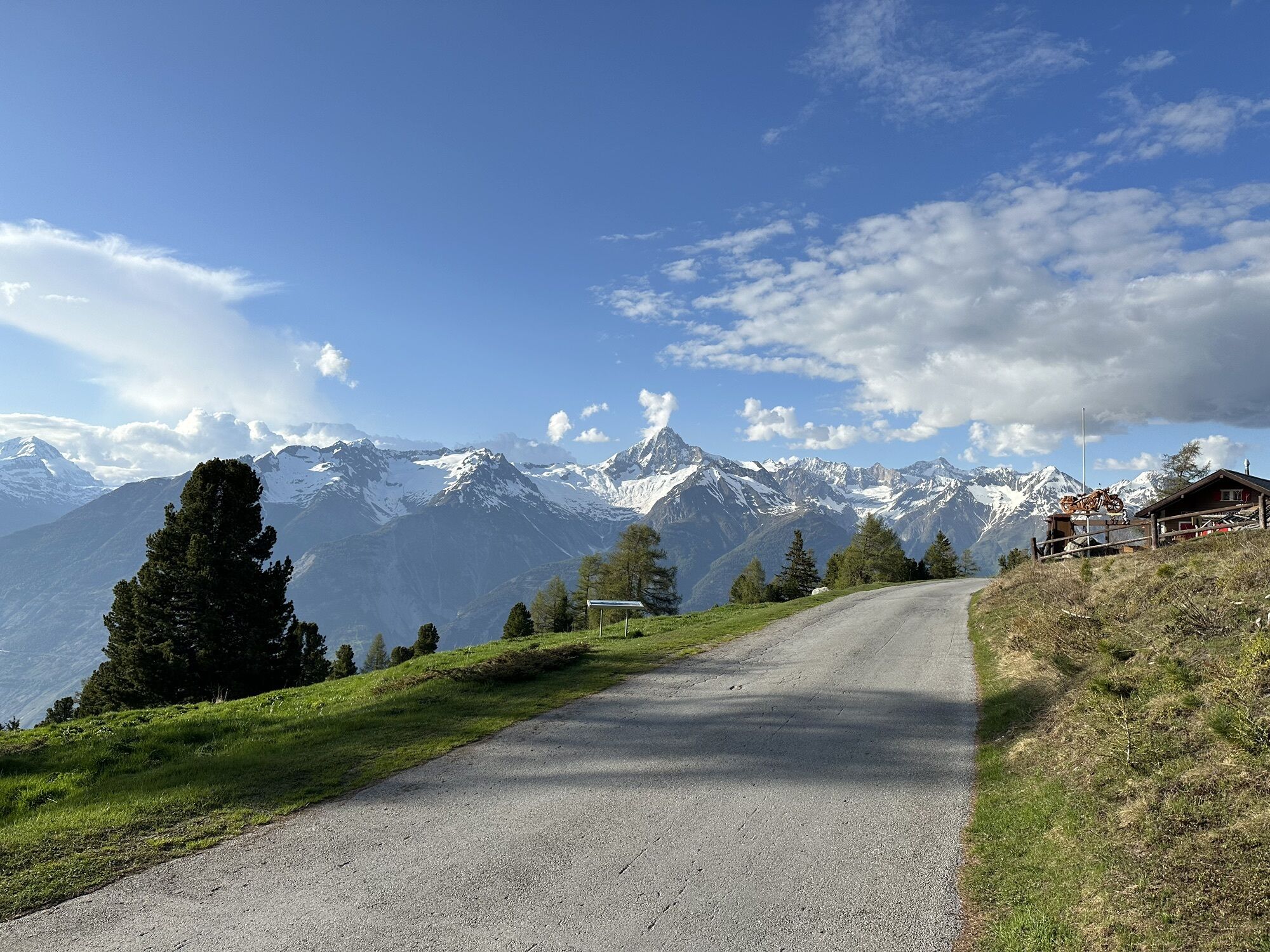
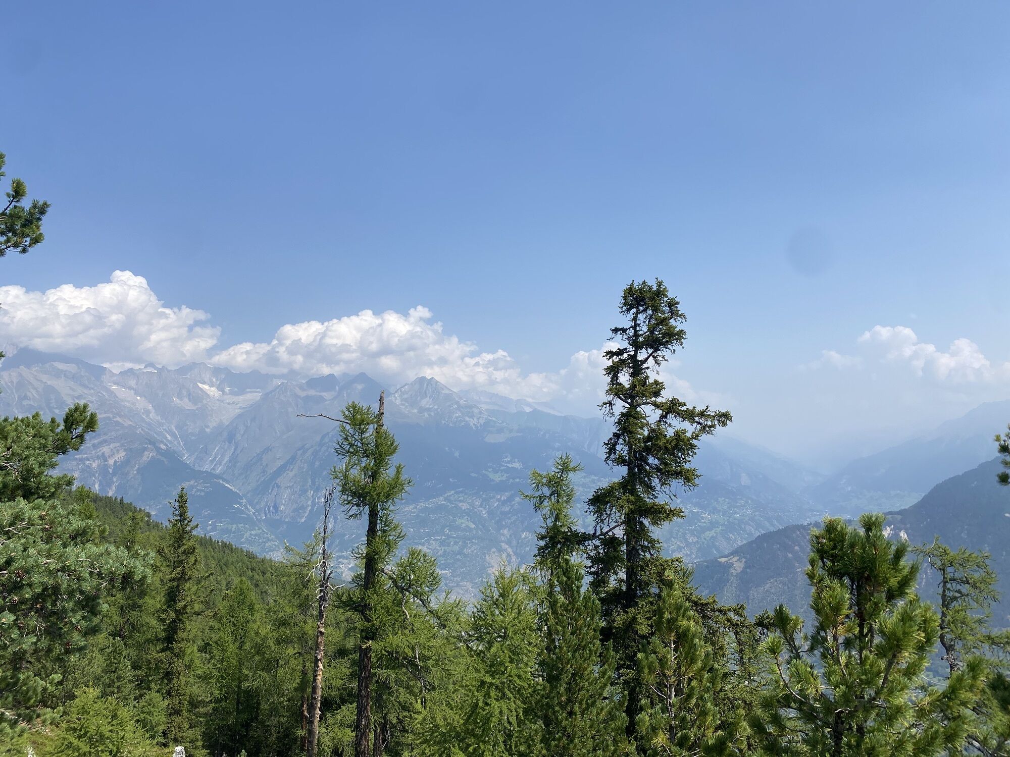
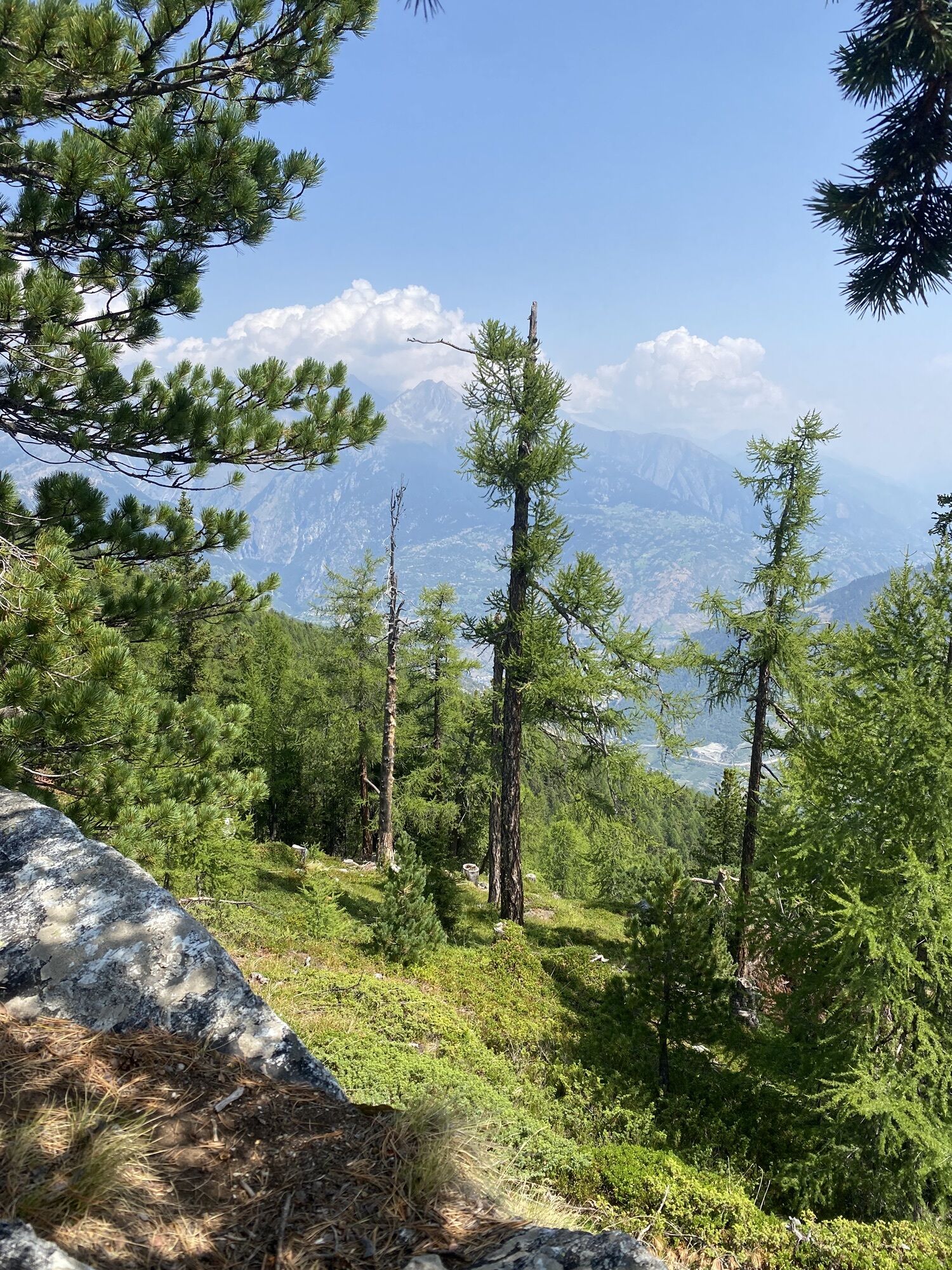
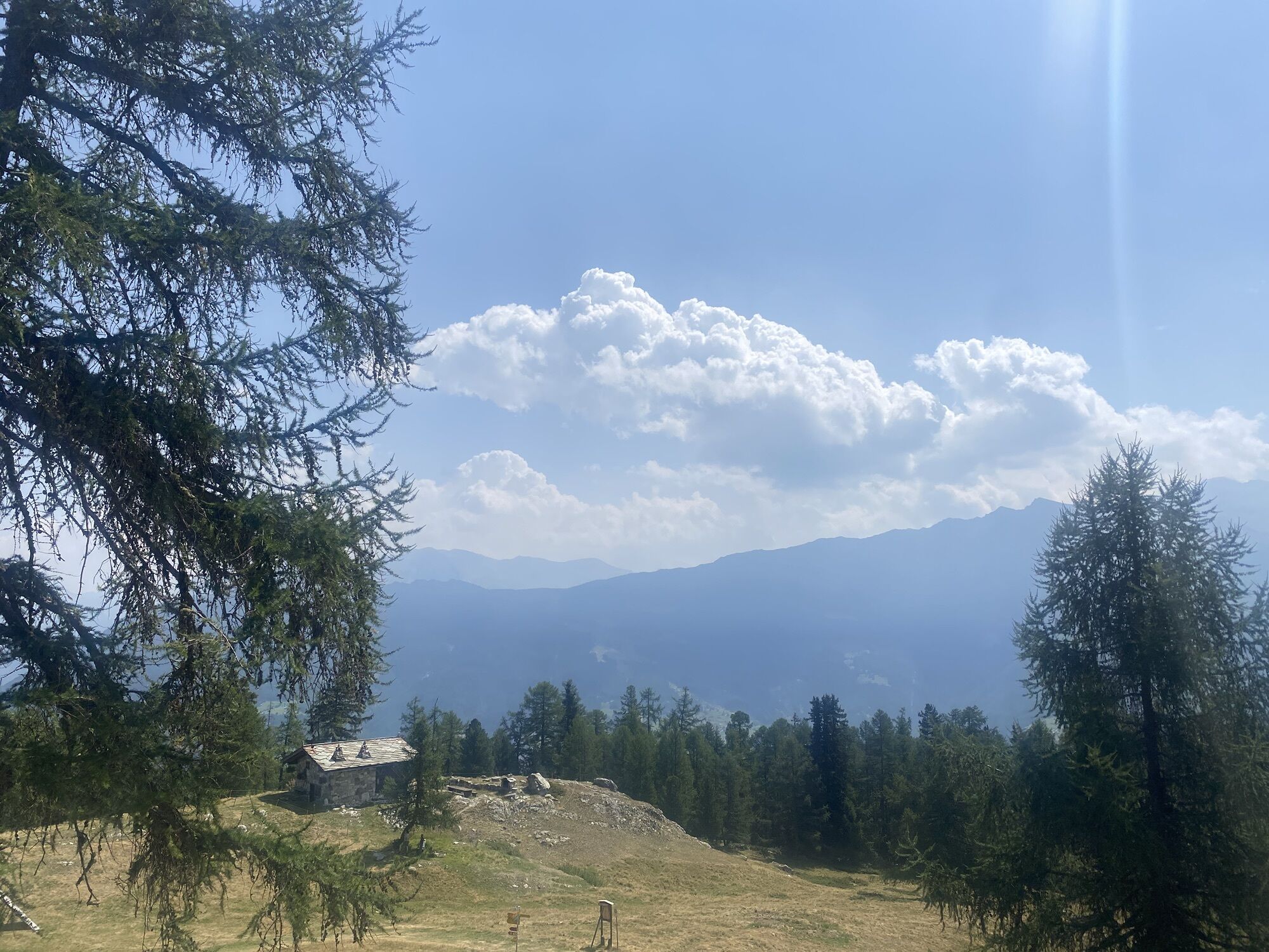
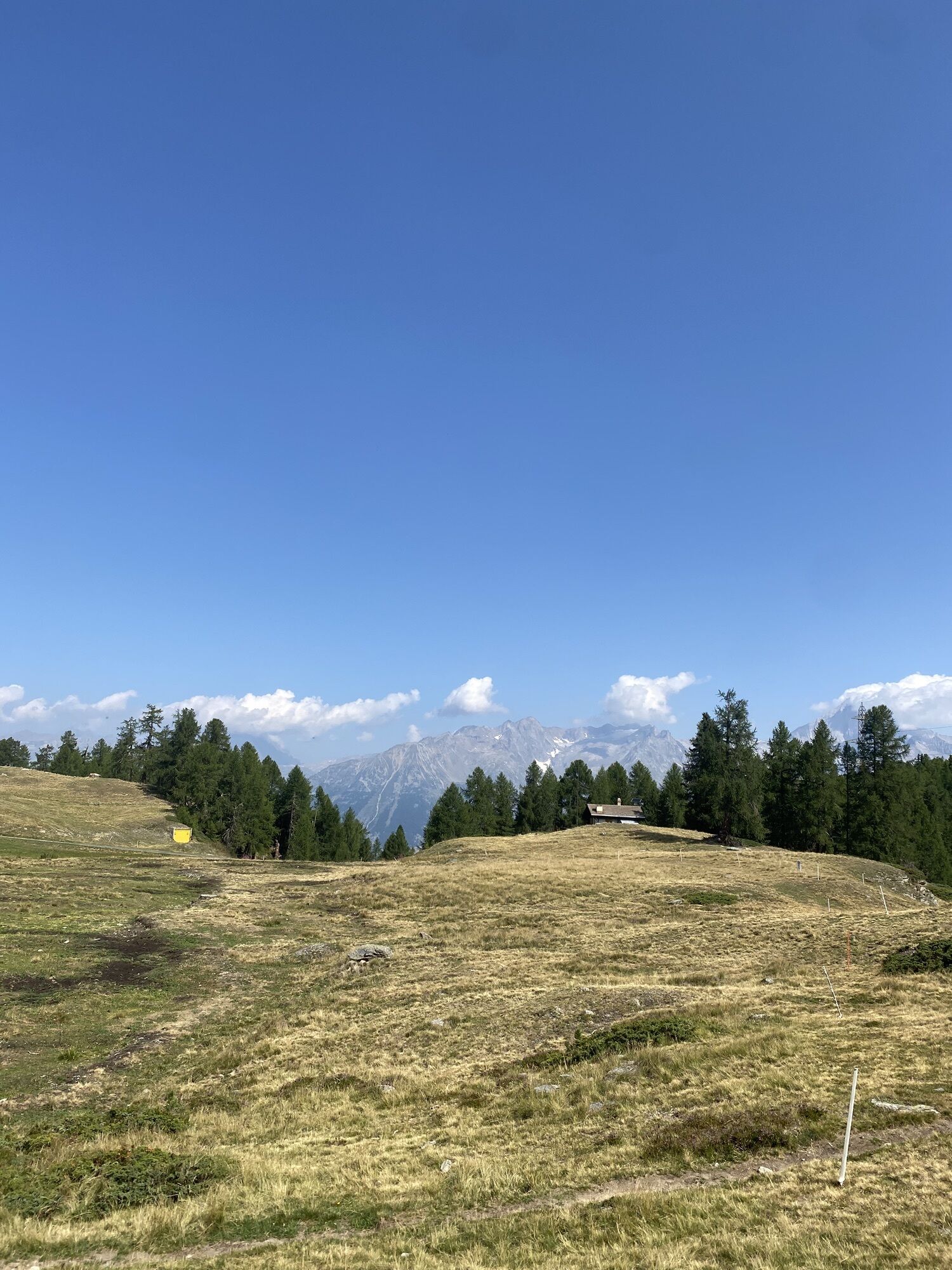
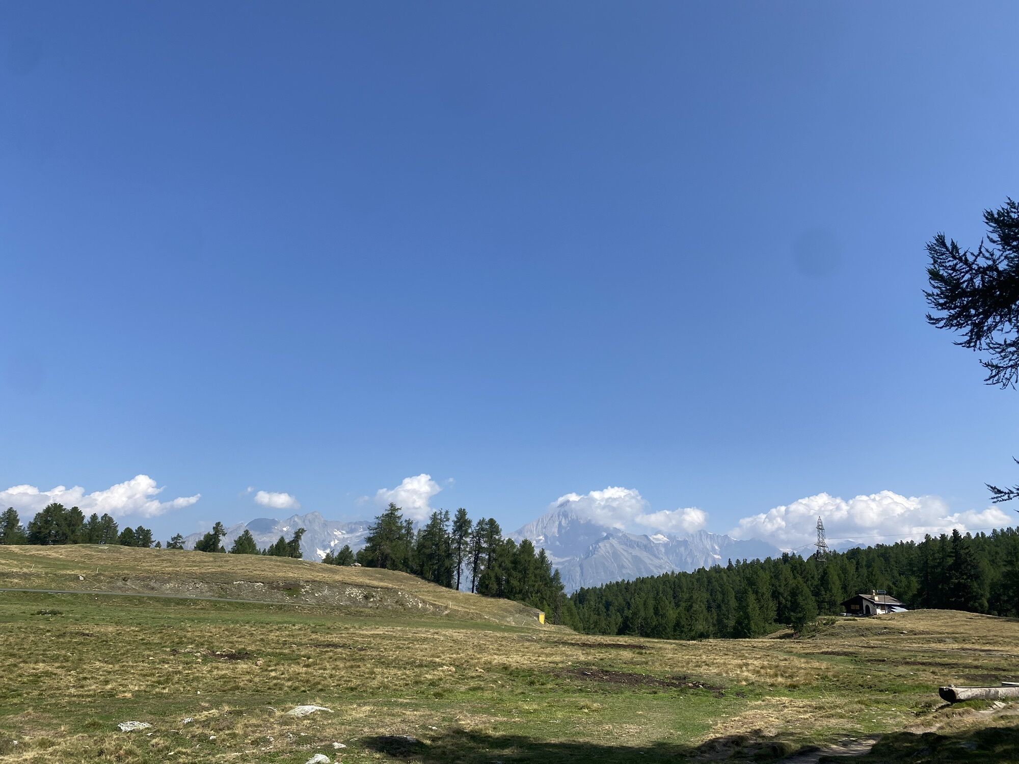
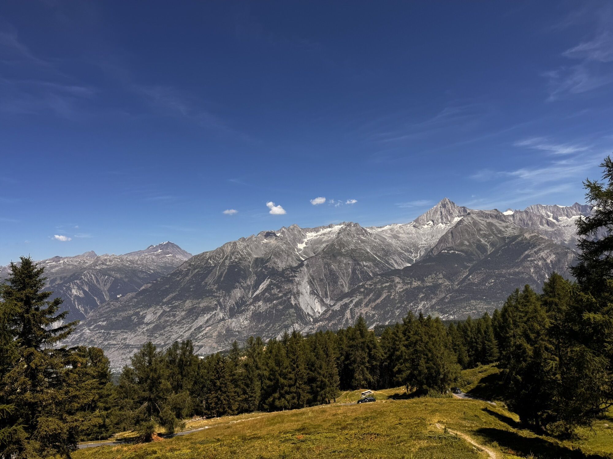
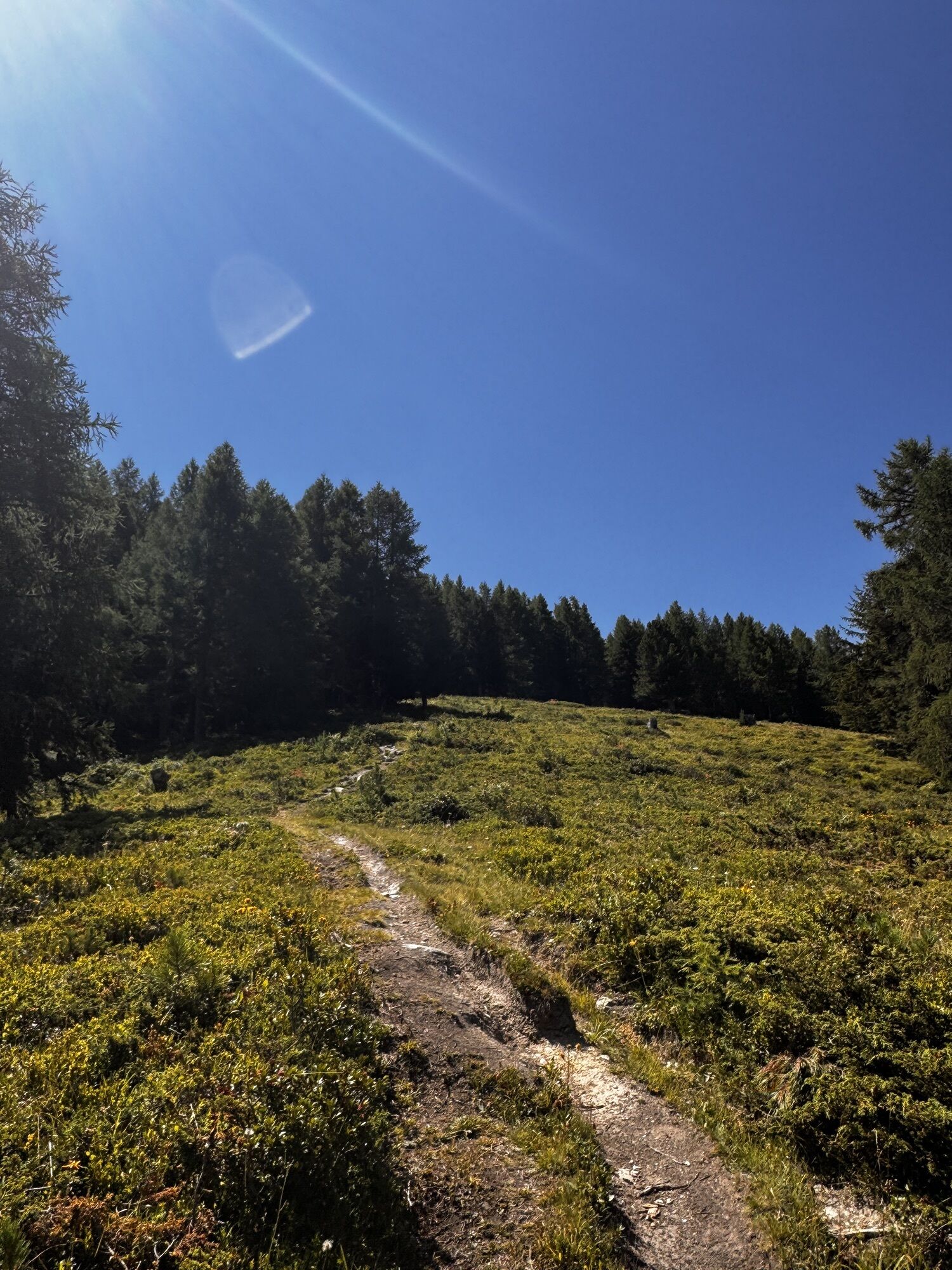
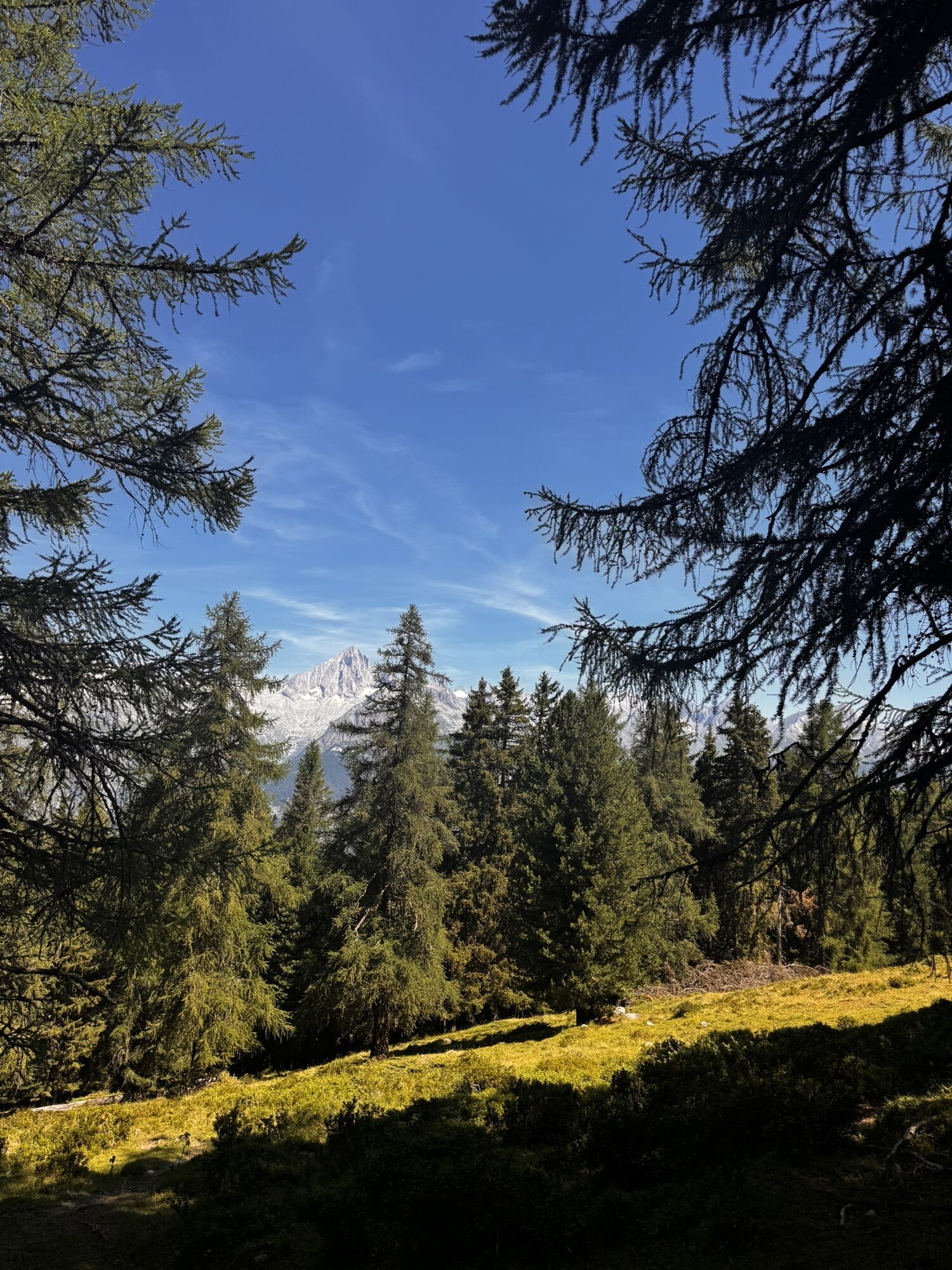
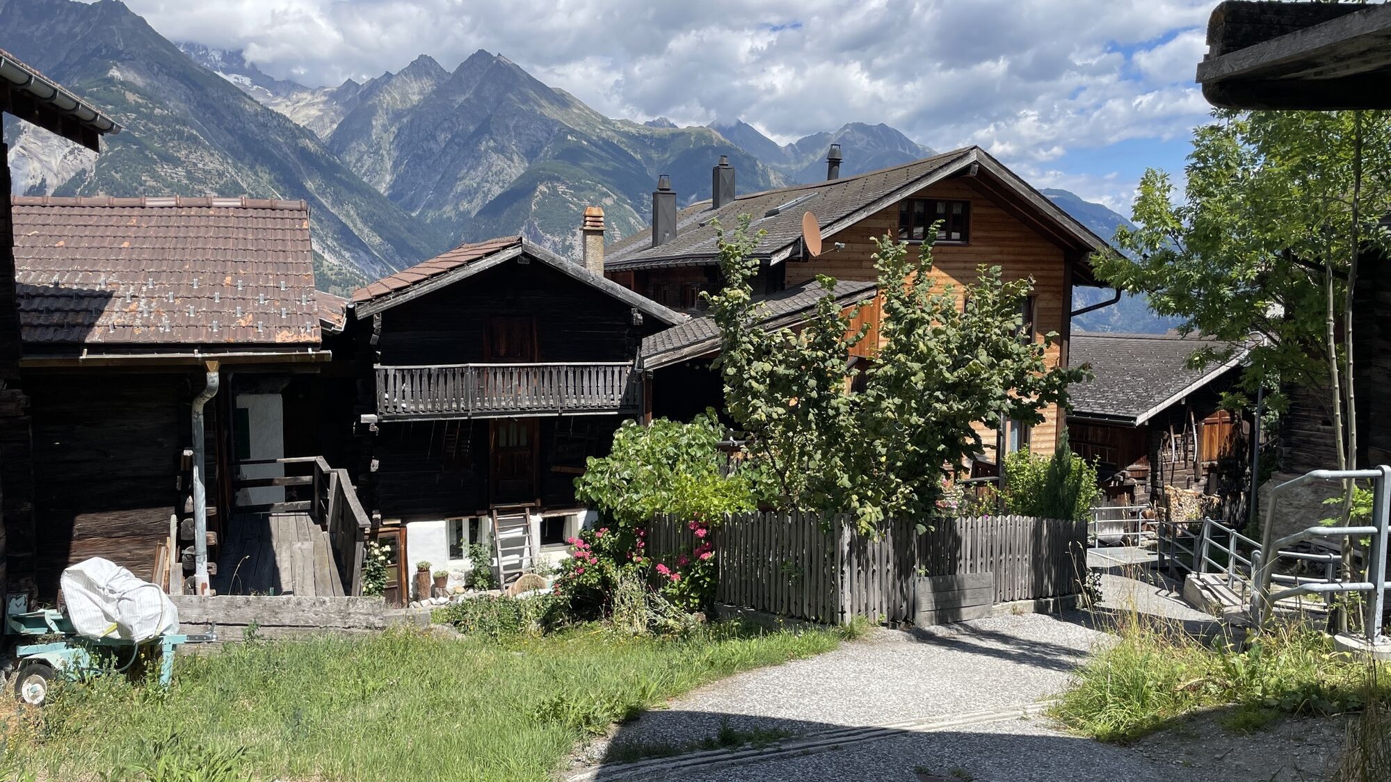
The tour starts by taking the post bus from Visp to Bürchen. Passing numerous chalets, with a short trail section to the holiday resort Unterbäch and via “Schlüechtgartu” to Eischoll. Through the old village center, the path leads to the Bergstation (mountain station) of the “Striggen” chairlift. With a magnificent view of the “Undri und Obri Senggalp”, the route continues to Ginals. Following is a beautiful trail to “Gibidum”, always with the Bietschhorn in sight. Then begins the descent known in the mountain biking scene as the “Magic Trail”. A prime natural flow trail that winds down to Brandalp. From Brandalp, the tour continues on a gravel road to the sunny spot Bürchen. If you still have enough strength in your legs, tackle the approximately 500 meters of elevation to Moosalp via the idyllic mountain road. Otherwise, you can also take the post bus to Moosalp. Right at Moosalp, with views of the Saaser and Matter valleys and their numerous 4000-meter peaks, the trail fun begins. Very flowing, easy and clear to ride, the single trail leads through a beautiful larch forest to Törbel. Here, a visit to the open-air museum “Urchigs Terbil” is worthwhile. Numerous buildings, such as the original “Walliser-Stadol”, show various aspects of former daily life in a Valais mountain village. From Törbel, the trail continues to Zeneggen, described as the sunny mountain village at the entrance to the Visp valley. From there, the route climbs via the nature reserve “Mittlere Hellela” back to Bürchen. The mountain village lies sun-drenched on a high plateau above the Rhone valley. If desired, you can finish the circular tour either via Zeneggen or from Bürchen back to the starting point Visp, with great trails guaranteed on the way down to the valley.
Áno
Áno
Áno
By bus from Visp to Bürchen. Regular train and bus connections at https://www.sbb.ch/ and https://www.postauto.ch/de/fahrplan
There are two parking lots in Bürchen. In front of the Ronalp restaurant and at the valley station of the chairlift.
S1
The village Törbel with its open-air museum "Urchigs Terbil"
Webové kamery z prehliadky
-
Seetal - Grächen
-
Brandalp - Skilift Seefeld
-
Bergstation Sesselbahn Giw - Visperterminen
-
Hannigalp
-
Grächen - Dorf
-
Eischoll - Stryggen
-
Moosalp - Bergrestaurant Dorbia
-
Air Zermatt - Station Raron
-
Air Zermatt - Station Raron
-
Brandalp - Skilift Seefeld
-
Brandalp - Skilift Seefeld
-
Brandalp - Skilift Seefeld
-
Brandalp - Skilift Seefeld
-
Rothorli
-
Grächen
-
Air Zermatt - Station Raron
-
Gspon
-
Giw Bergstation
-
Eischoll Dorf
-
Furggen Berg
-
LGJ Bergstation
-
Brandalp - Skilift Seefeld
-
Brandalp - Skilift Seefeld
-
Brandalp - Skilift Seefeld
-
Brandalp - Skilift Seefeld
-
Törbel - Chalet Dolores
-
Yakfarm - Embd
-
Heidabahn Talstation
Získajte prehľad
Vždy naživo na mieste s viac ako 9 500 webovými kamerami. bergfex Ako používateľ Pro si teraz môžete pozrieť príslušné webové kamery pre mnohé zájazdy v aplikácii zájazdy z. Môžete si tak priamo prezerať aktuálne podmienky.
Obľúbené výlety v okolí
-
4,9
Moosalp Panoramaweg
svetloTuristika 6,36 km -
3,8
Höhenweg Saas-Fee - Grächen
Turistika 12,0 km -
4,6
Gspon high-altitude route
strednáTuristika 13,9 km -
5,0
Panoramaweg Visperterminen
svetloTuristika 9,72 km -
SUONEN CIRCULAR HIKE GREDETSCHTAL
strednáTuristika 7,45 km -
4,0
FOGGENHORN ROUND HIKE
strednáTuristika 13,1 km -
4,0
NATICHERBERG CIRCULAR TRAIL
strednáTuristika 12,1 km -
5,0
Jolischlucht
strednáTuristika 8,06 km -
4,0
IRRIGATION CHANNEL HIKE STIGWASSER AND OBERSTA INTO THE GREDETSCHTAL
strednáTuristika 6,17 km -
Moosalp – Augstbordhorn
ťažkéTuristika 5,97 km

Turistika a stopovanie


Nenechajte si ujsť ponuky a inšpiráciu na ďalšiu dovolenku
Vaša e-mailová adresa bol pridaný do poštového zoznamu.





