


Weissmies Bike
Úroveň náročnosti: S3
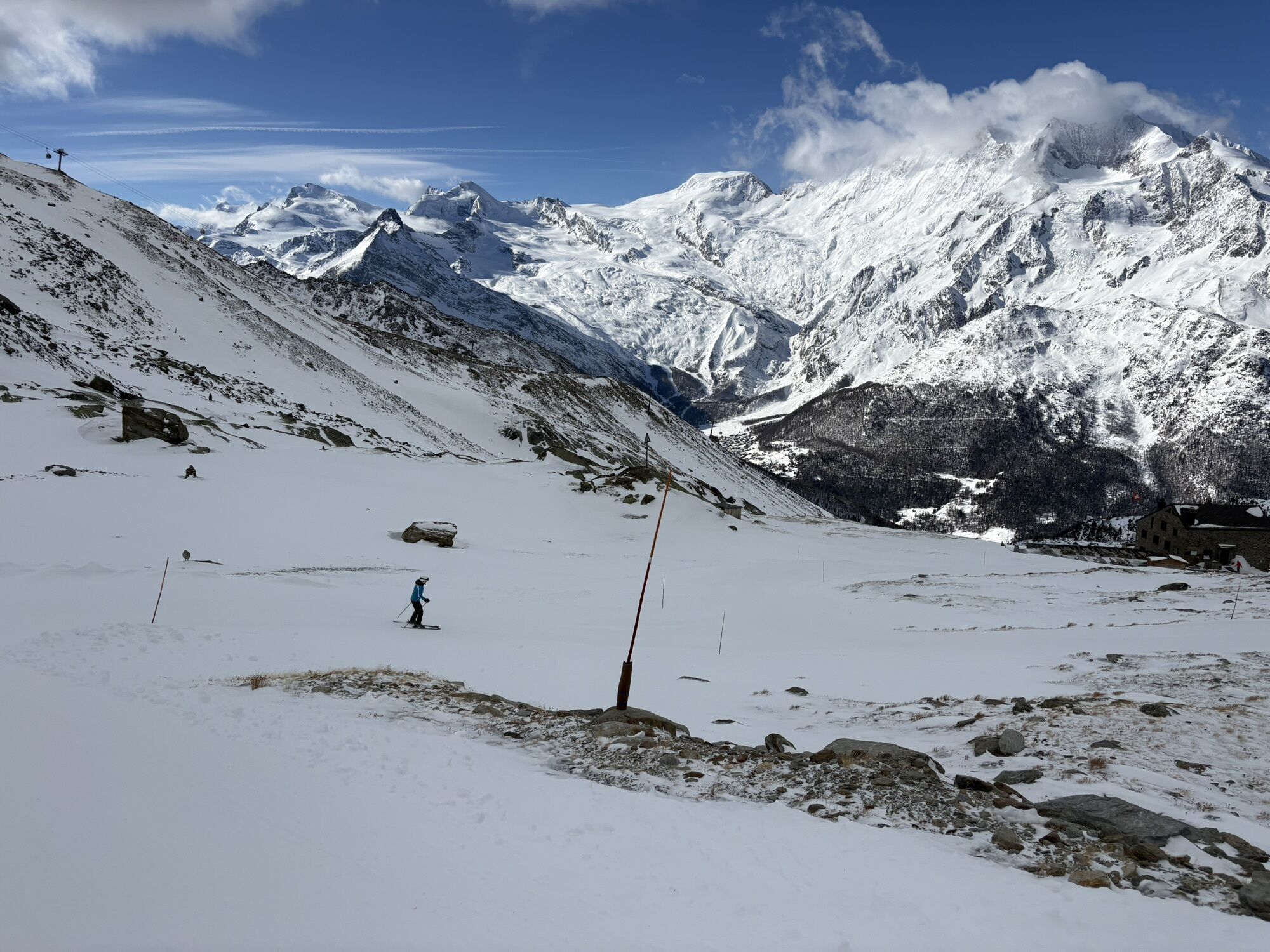
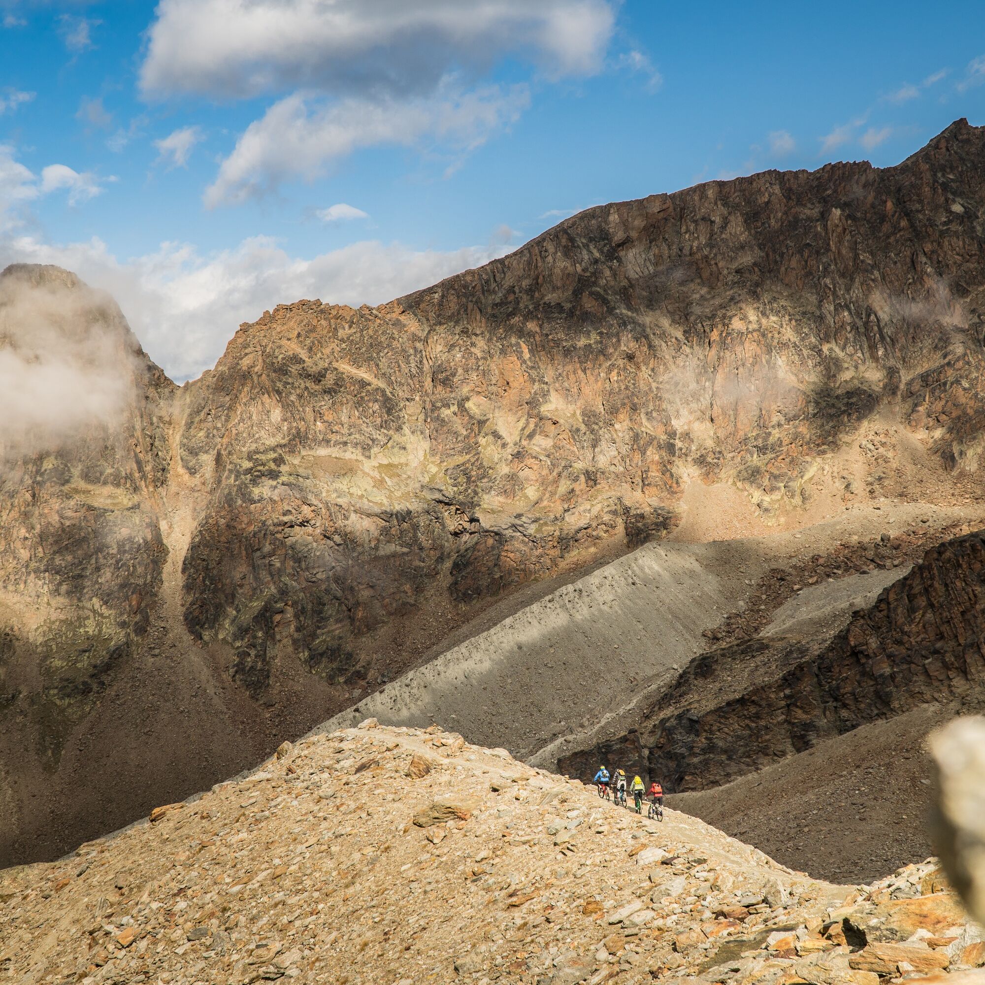
The trail starts directly at the mountain station and follows the hiking trail down to the Weissmies hut. Over the moraine, it goes in a loop through scree slopes downhill. At the outer edge of the plain,...
The trail starts directly at the mountain station and follows the hiking trail down to the Weissmies hut. Over the moraine, it goes in a loop through scree slopes downhill. At the outer edge of the plain, a narrow zigzag path follows down to the stream. It continues on the wide path down to the Weissmies hut.
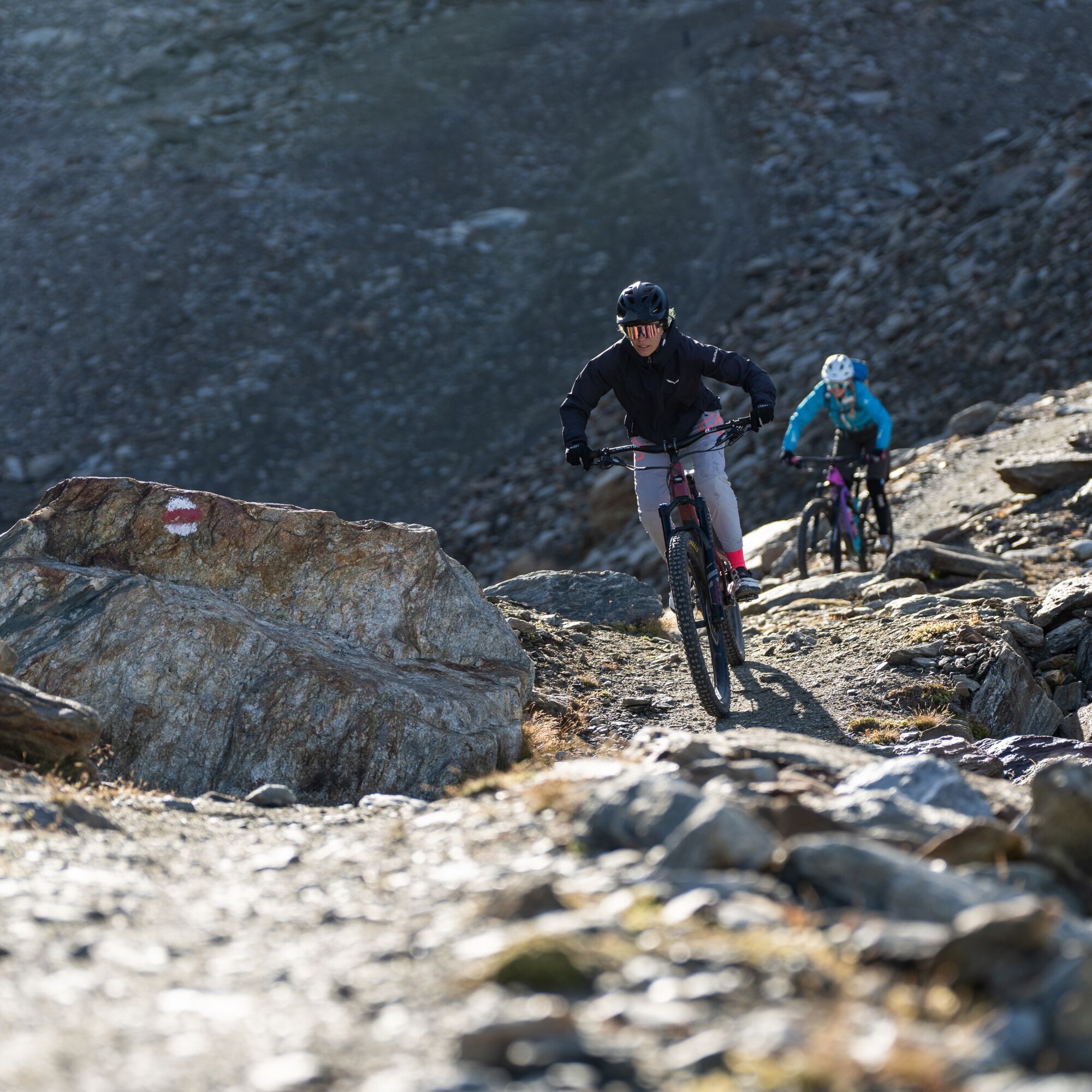
From the Weissmies hut, it goes beside the terrace towards the cable car route. The old path leads over stone slabs to a small ridge. You follow the path to the stream and turn right onto the piste track, over which you return to the hiking trail and reach Kreuzboden.
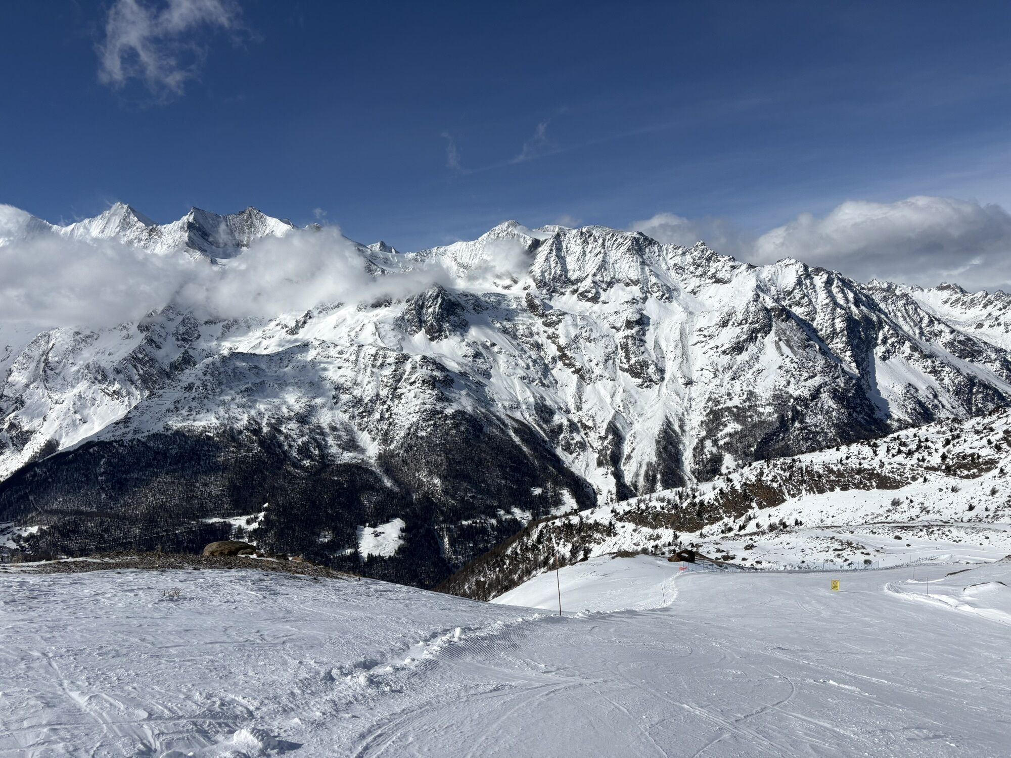
Hohsaas - Weissmies hut - Kreuzboden
Helmet
Gloves
Clothing suitable for the weather (always have rain protection with you)
Drink
Food
Sunscreen
First aid kit
The Saastal is easily and conveniently accessible by car from all directions, whether from Switzerland or from abroad. From the north, you reach us via Bern through the Lötschberg car shuttle. From the east, you come via the Furka Pass or the Furka car shuttle. From the south we are accessible via Simplon Pass or Simplon car shuttle, and from the west you drive via Lausanne along the Rhone valley to Visp and from there towards Saas-Fee.
From Visp, drive south towards Saas-Fee. At the "Killerhof" roundabout near Stalden, take the second exit towards Saas-Fee and follow the main road to Saas-Grund.
Parking is available at the valley station of the Hohsaas cable cars.
S3
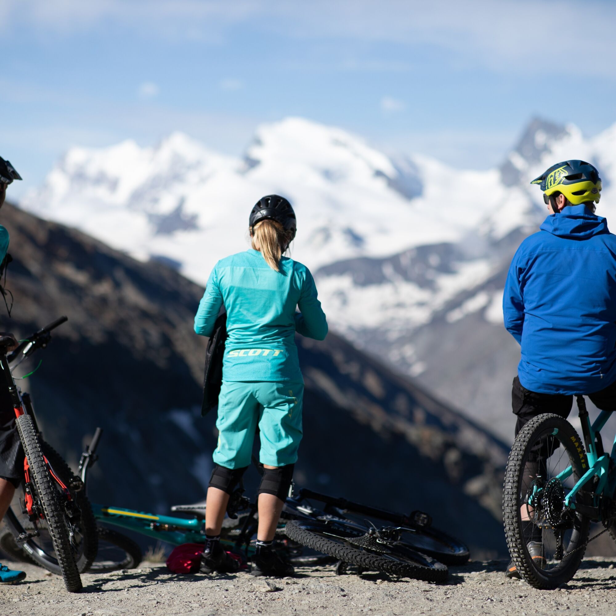
A rest at the Weissmies hut
Webové kamery z prehliadky
Obľúbené výlety v okolí
-
4,9
Allalinhorn vom Mittelallalin über Normalweg
strednáVysoké turné 6,15 km -
3,3
Europaweg Grächen - Europahütte - Zermatt
ťažkéTuristika 39,9 km -
3,6
Höhenweg Kreuzboden - Almagelleralp - Saas-Almagell
Turistika 9,74 km -
3,5
Waldweg Saas-Fee - Saas-Almagell
Turistika 2,83 km -
3,8
Höhenweg Saas-Fee - Grächen
Turistika 12,0 km -
5,0
Weissmies Südgrat von Saas Almagell
strednáVysoké turné 20,5 km -
5,0
Marmot mountain path Spielboden
strednáTuristika 3,89 km -
5,0
Via ferrata Jägihorn
ťažkéVia ferrata 6,14 km -
3,5
Saas-Fee - Gemsweg - Hannig - Plattjen
Turistika 6,89 km -
5,0
Ibex path
strednáTuristika 9,02 km
Turistika a stopovanie


Nenechajte si ujsť ponuky a inšpiráciu na ďalšiu dovolenku
Vaša e-mailová adresa bol pridaný do poštového zoznamu.