



Mayentset Bike

Úroveň náročnosti: S2

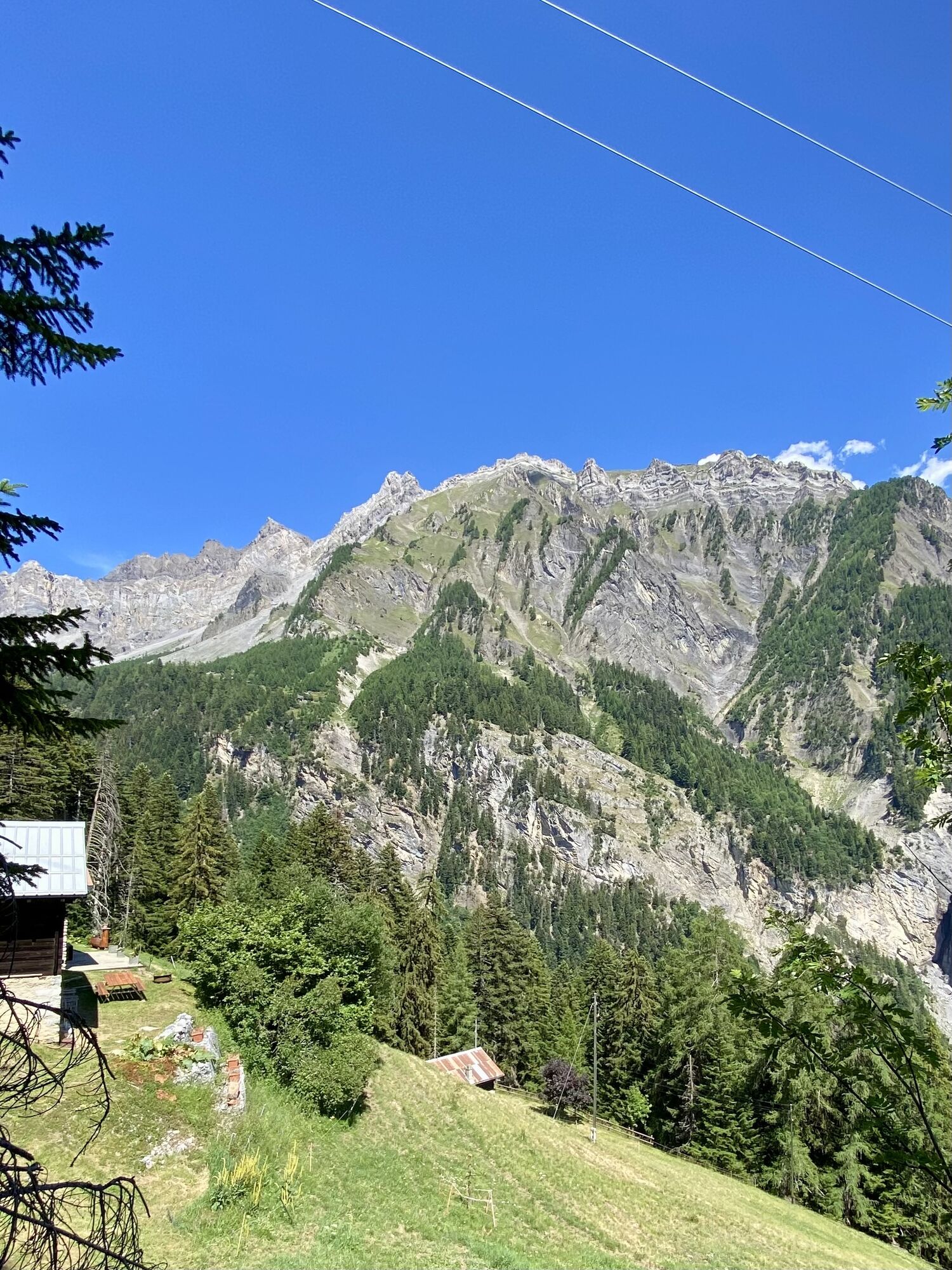
In the village of Daillon, you begin the route with a slight ascent. The initial effort is rewarded with a magnificent descent on a specially developed singletrack with regular turns. Halfway there is...
In the village of Daillon, you begin the route with a slight ascent. The initial effort is rewarded with a magnificent descent on a specially developed singletrack with regular turns. Halfway there is a barbecue area where you can take a break with your family. This route can be combined at the height of Mayens de Conthey and the village of Daillon with the Tour de Code.

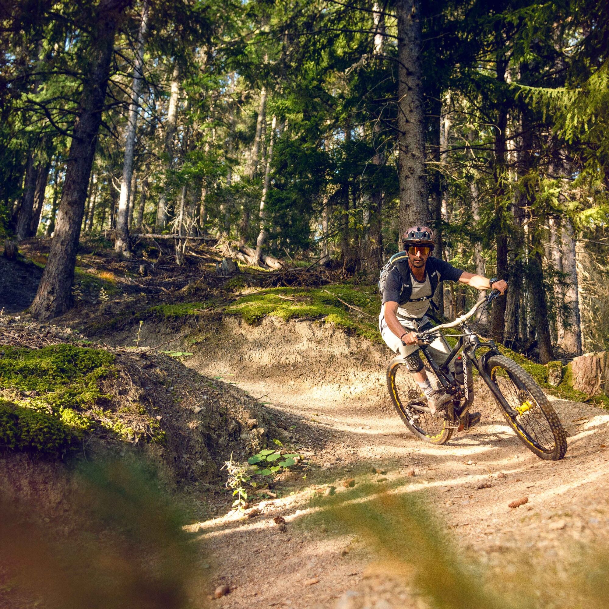
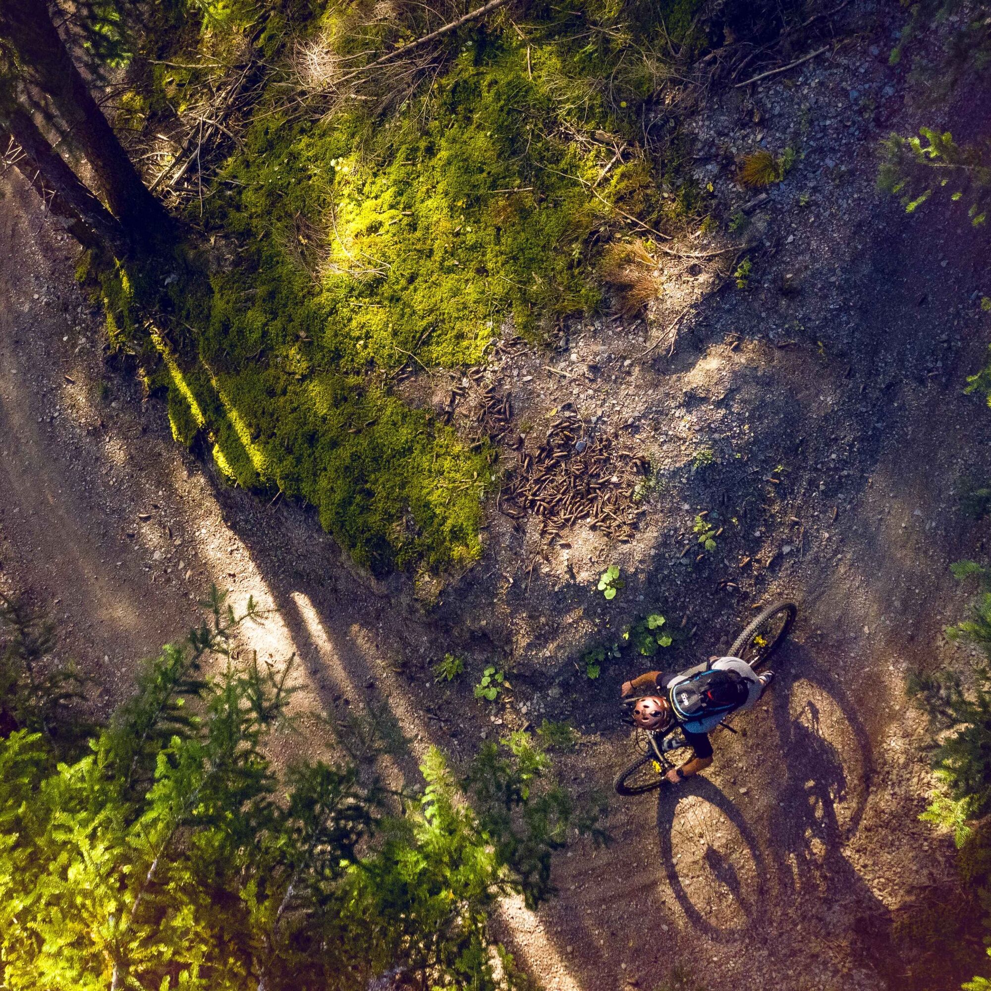
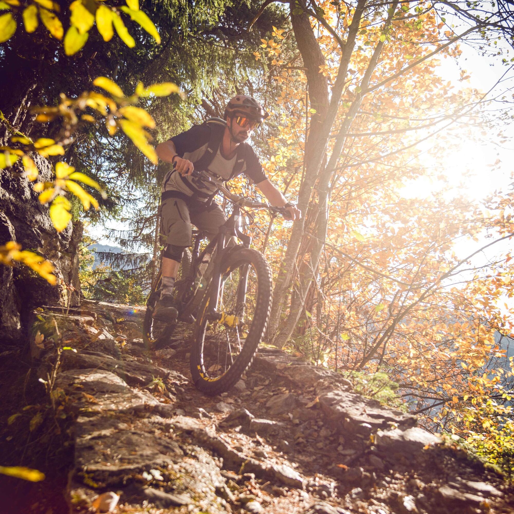
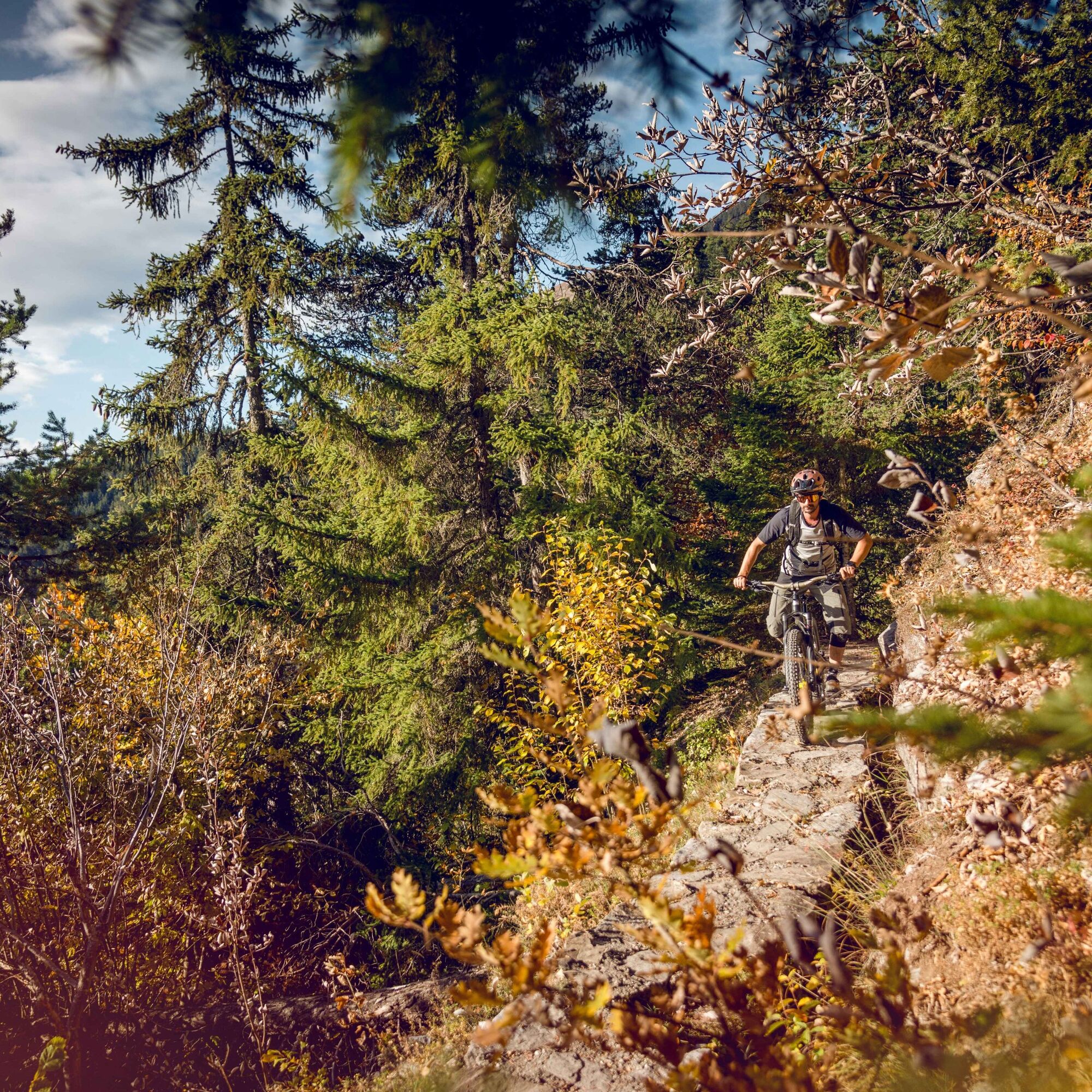
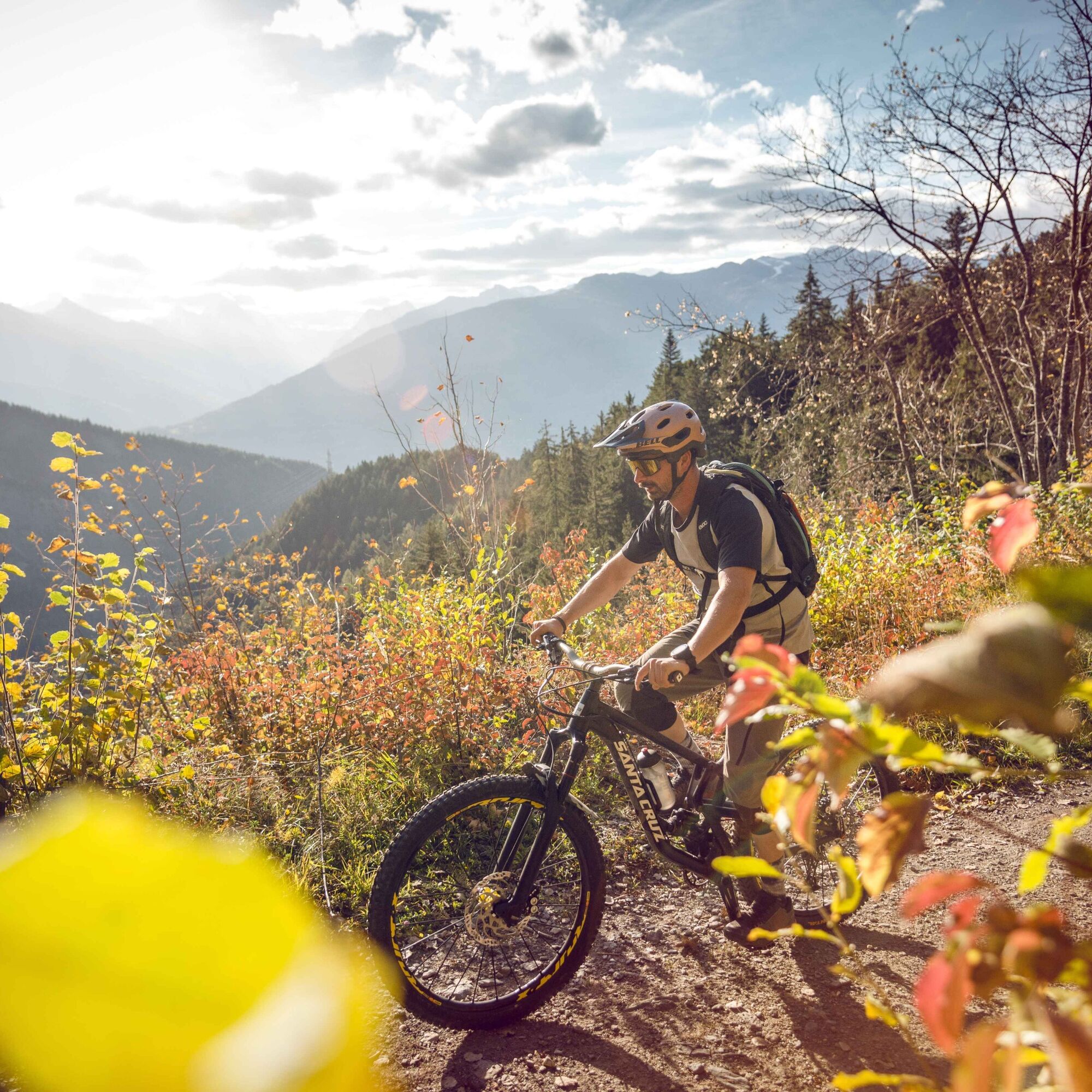
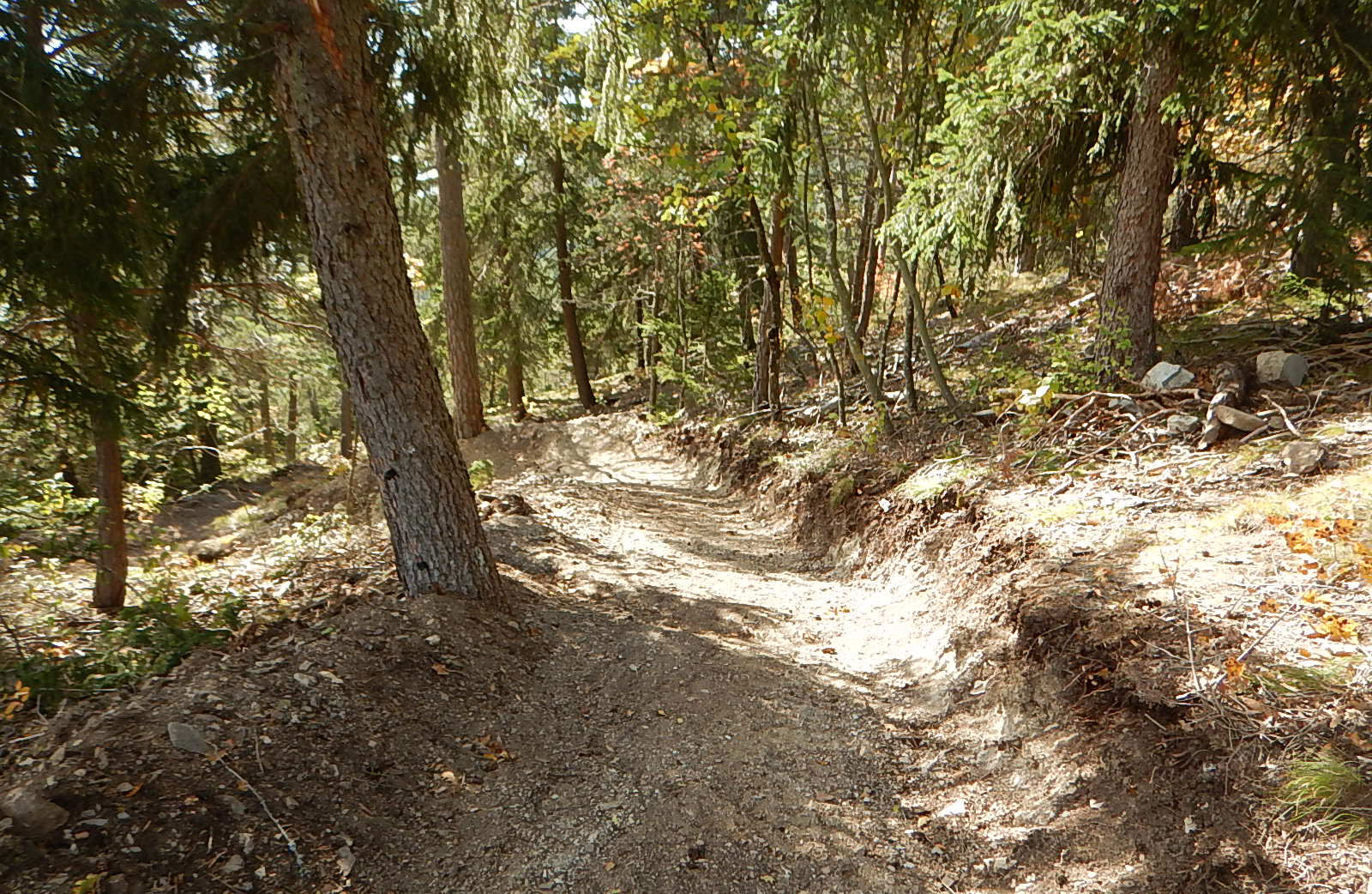

The start of this route is located in the village of Daillon. A varied route that, besides a few singletracks, mainly runs on forest paths, follows the Suone of Tsandra for 6.5 kilometers. The descent was specially designed over more than one kilometer to separate pedestrian and mountain bike traffic. This section consists of a singletrail with sharp turns. Note that this section is also accessible for handbikes. The rest of the descent proceeds over some singletrails.
Áno
Our recommendation: technically flawless bike, helmet, gloves and bell, weather-appropriate clothing (always: rain protection), drink and provisions.
Preparation for the mountain bike tour
The mountains, a place of joy to share and respect. The mountain world is a place to meet and experience unforgettable moments together – whether by bike or on foot. So that all users can benefit, it is essential to share this space with respect for nature and agriculture. Respectful behavior enables everyone to enjoy their leisure activities under the best conditions. Inform yourself about recommendations and rules.
Assess your own skills and fitness well. Riding the various routes is fundamentally at your own risk.
Motorway A9 to exit 25 Conthey towards Daillon.
Train to Sion and post bus from Sion (station) to Daillon.
Train to Châteauneuf, then post bus from Châteauneuf to Daillon.
Remember to reserve a place for your mountain bike via the SBB Mobile app or on sbb.ch.
Place de la Vella
S2
View this route on SchweizMobil:
No. 199 Mayentset BikeMore information about the destination:
Les Coteaux du SoleilDo not hesitate to combine this route with the Tour de Code.


Obľúbené výlety v okolí
-
5,0
Bisse du Ro
svetloTuristika 11,2 km -
4,6
From Saillon to the Farinet suspension bridge
strednáTuristika 7,86 km -
4,2
Grand Bisse de Lens
svetloTuristika 8,73 km -
4,5
Tour de l'éboulement des Diablerets
svetloTuristika 6,52 km -
4,6
Lauenen - Höji - Bühlhaus Lauenensee
strednáTuristika 9,03 km -
4,0
Tripon - Brac – Ancien Bisse du Torrent Neuf – St. Marguerite – Torrent Neuf – Prafirmin - St. Germain
svetloTuristika 12,9 km -
4,5
The Larches of Balavaux
svetloTuristika 11,0 km -
5,0
Grand bisse d’Ayent
strednáTuristika 11,7 km -
4,8
La Palette
svetloTuristika 9,91 km -
4,0
Belvédère via ferrata
strednáVia ferrata 1,81 km
Turistika a stopovanie


Nenechajte si ujsť ponuky a inšpiráciu na ďalšiu dovolenku
Vaša e-mailová adresa bol pridaný do poštového zoznamu.


