







Route to Isérables

Úroveň náročnosti: S0
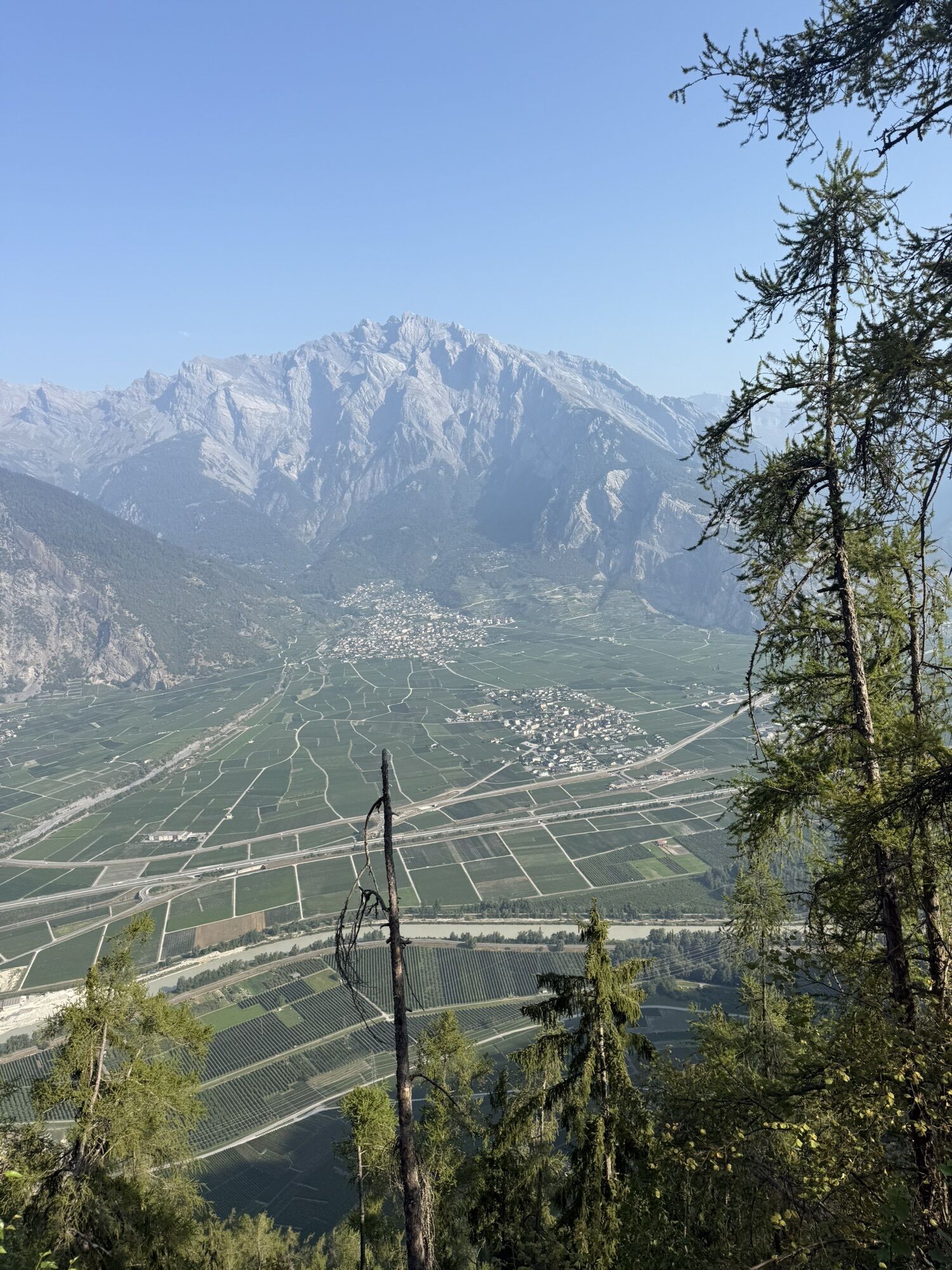
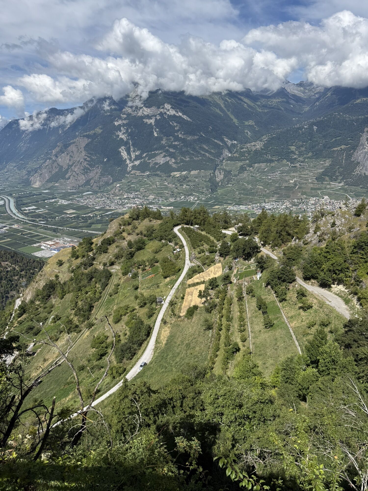
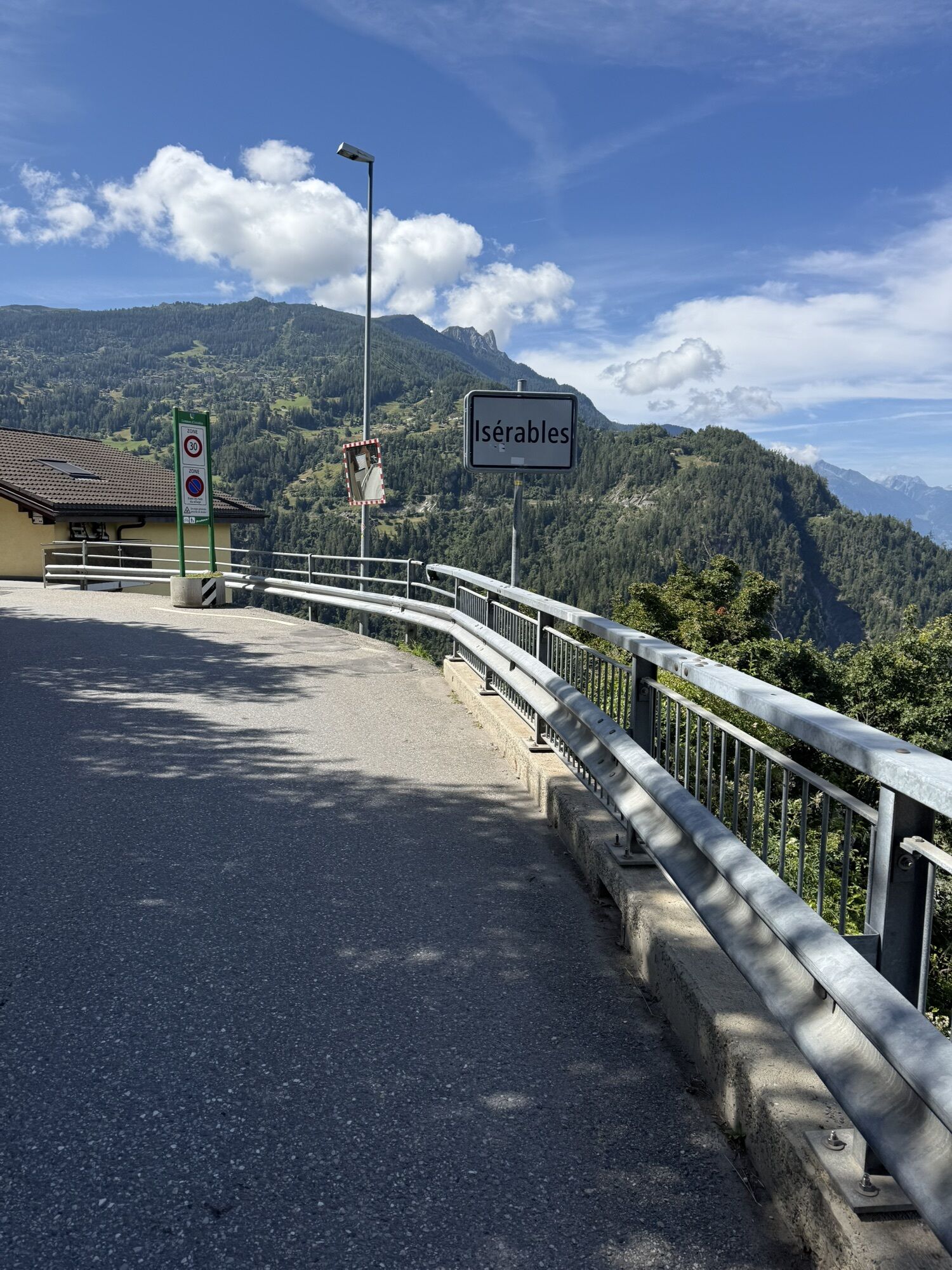
At the beginning of the bike route, you ride through forests and past fruit trees and impressive landscapes. After the village of Condémines, you soon reach Isérables, a small village at 1116 meters above...
At the beginning of the bike route, you ride through forests and past fruit trees and impressive landscapes. After the village of Condémines, you soon reach Isérables, a small village at 1116 meters above sea level. Take a break and stroll through the picturesque area before returning to Haute-Nendaz. On the way back, you have the impressive backdrop of the Vaud and Bernese Alps in front of you.


The route to Isérables starts at the sports center of Haute-Nendaz, from where you follow the mountain bike signposting 131. Ride along Chemin des Bornes to the village center of Haute-Nendaz. As soon as you reach the main road, go 200 meters downhill to the left. Just before the large curve Crêtes Blanches, turn left again. After 200 meters you reach the forest and follow the path to your right. You arrive at the village of Condémines, where you take the road towards Isérables. Now leave the charming hamlet behind and continue on Route des Crettaux until Pont de la Scie. After the bridge, the road climbs in hairpin bends to an intersection. Take the path to your left towards Nendaz. To return to Nendaz, follow the asphalted main road.
Áno
Our recommendation: technically flawless bike, helmet, gloves and bell, clothing suitable for the weather (always with you: rain protection), drink and food
Preparation for the mountain bike route
The mountains, a place of joy for sharing and respecting. The mountain world is a place to meet and experience unforgettable moments together – whether by bike or on foot. For all users to benefit, it is essential to share this space with respect for nature and agriculture. Respectful behaviour enables everyone to carry out their leisure activities under the best conditions. Inform yourself about recommendations and rules. Assess your own skills and fitness well. Riding on the various routes is fundamentally at your own risk.
From the "Sion-Ouest" motorway exit, you can reach Nendaz in about 20 minutes’ drive (15 kilometers).
From Sion station, Nendaz is reachable by bus in about 30 minutes. Regular connections from Geneva or Bern/Visp to Sion. Remember to reserve a place for your mountain bike via the SBB Mobile app or on sbb.ch.
In Haute-Nendaz, four parking garages are available. Follow the local parking guidance system.
S0
More information:
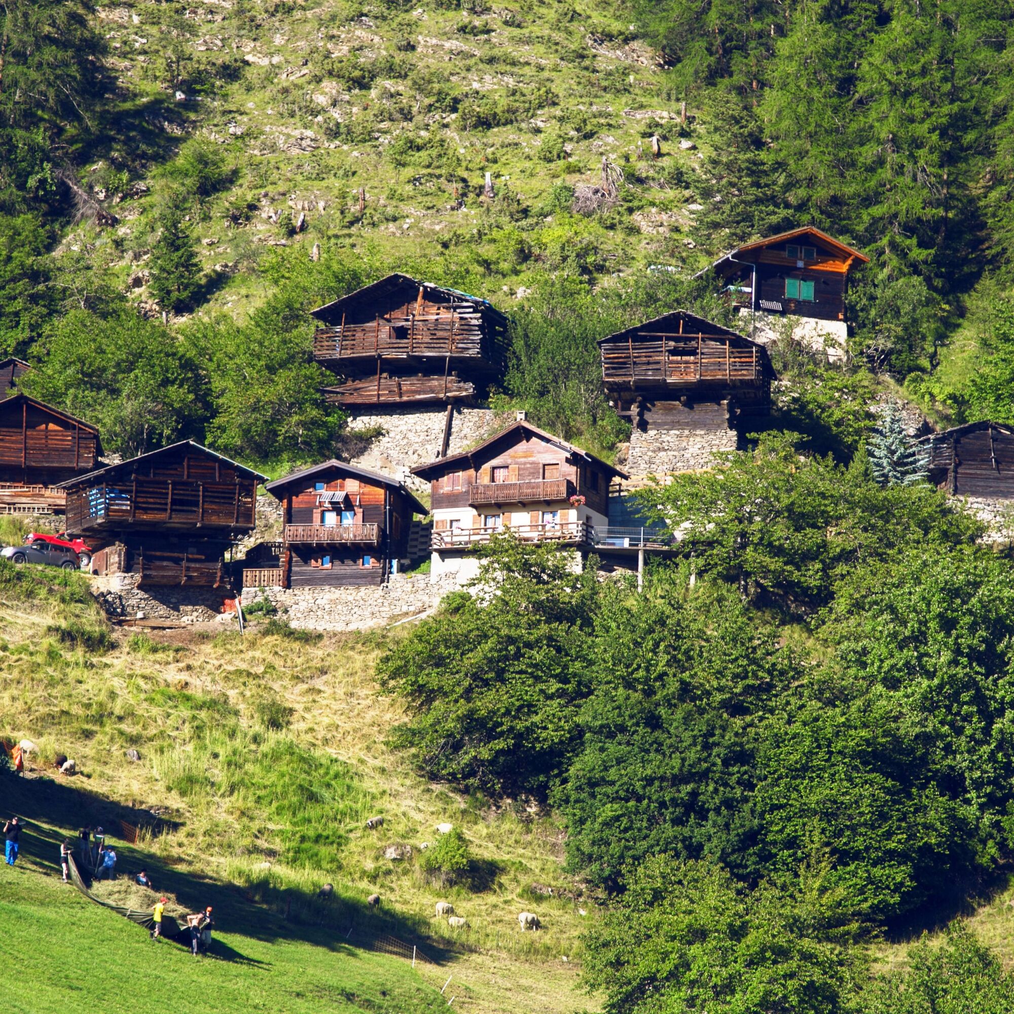
NendazAu centre du village, un musée vous explique toutes les techniques de construction de ce village construit dans la pente.
Webové kamery z prehliadky

Obľúbené výlety v okolí
-
4,6
From Saillon to the Farinet suspension bridge
strednáTuristika 7,86 km -
5,0
Sentier des bouquetins
strednáTuristika 8,73 km -
4,7
Cleuson Dam
strednáTuristika 11,5 km -
Tour du Grand Chavalard
strednáTuristika 14,9 km -
From Savoleyres to the mountain lake Lac des Vaux
strednáTuristika 14,0 km -
4,0
Tripon - Brac – Ancien Bisse du Torrent Neuf – St. Marguerite – Torrent Neuf – Prafirmin - St. Germain
svetloTuristika 12,9 km -
4,5
The Larches of Balavaux
svetloTuristika 11,0 km -
5,0
Tour de La Seya hike
strednáTuristika 8,09 km -
4,0
Sentier des Chamois
ťažkéTuristika 11,6 km -
4,0
Belvédère via ferrata
strednáVia ferrata 1,81 km
Turistika a stopovanie


Nenechajte si ujsť ponuky a inšpiráciu na ďalšiu dovolenku
Vaša e-mailová adresa bol pridaný do poštového zoznamu.





