







Valais Bike Tour: St-Luc Anniviers - Veysonnaz (stage 6)
Úroveň náročnosti: 3
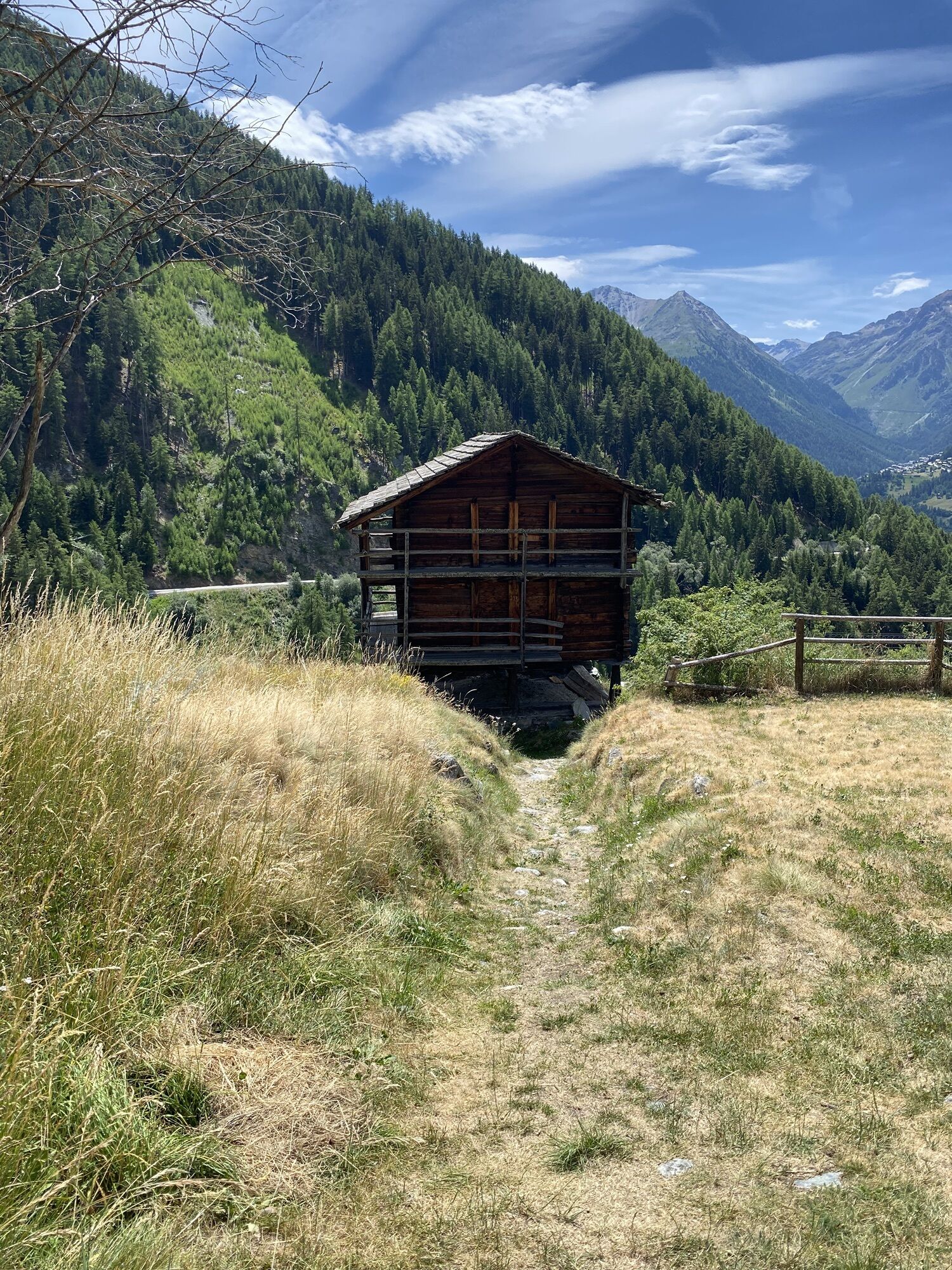
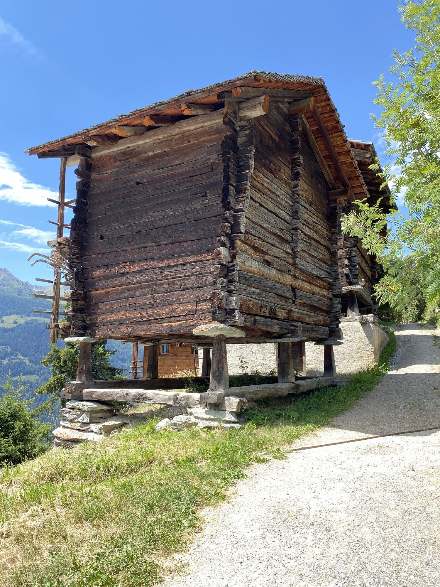
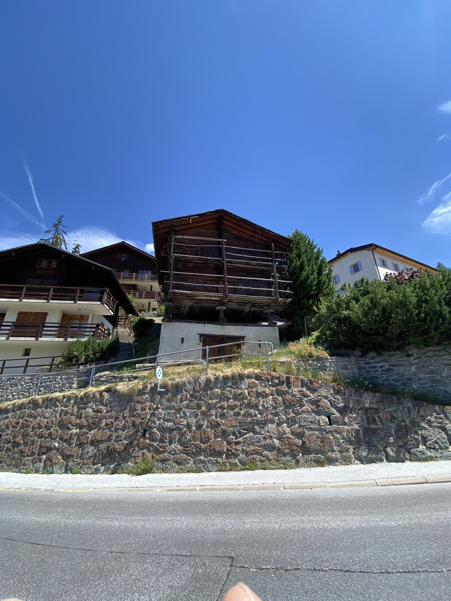
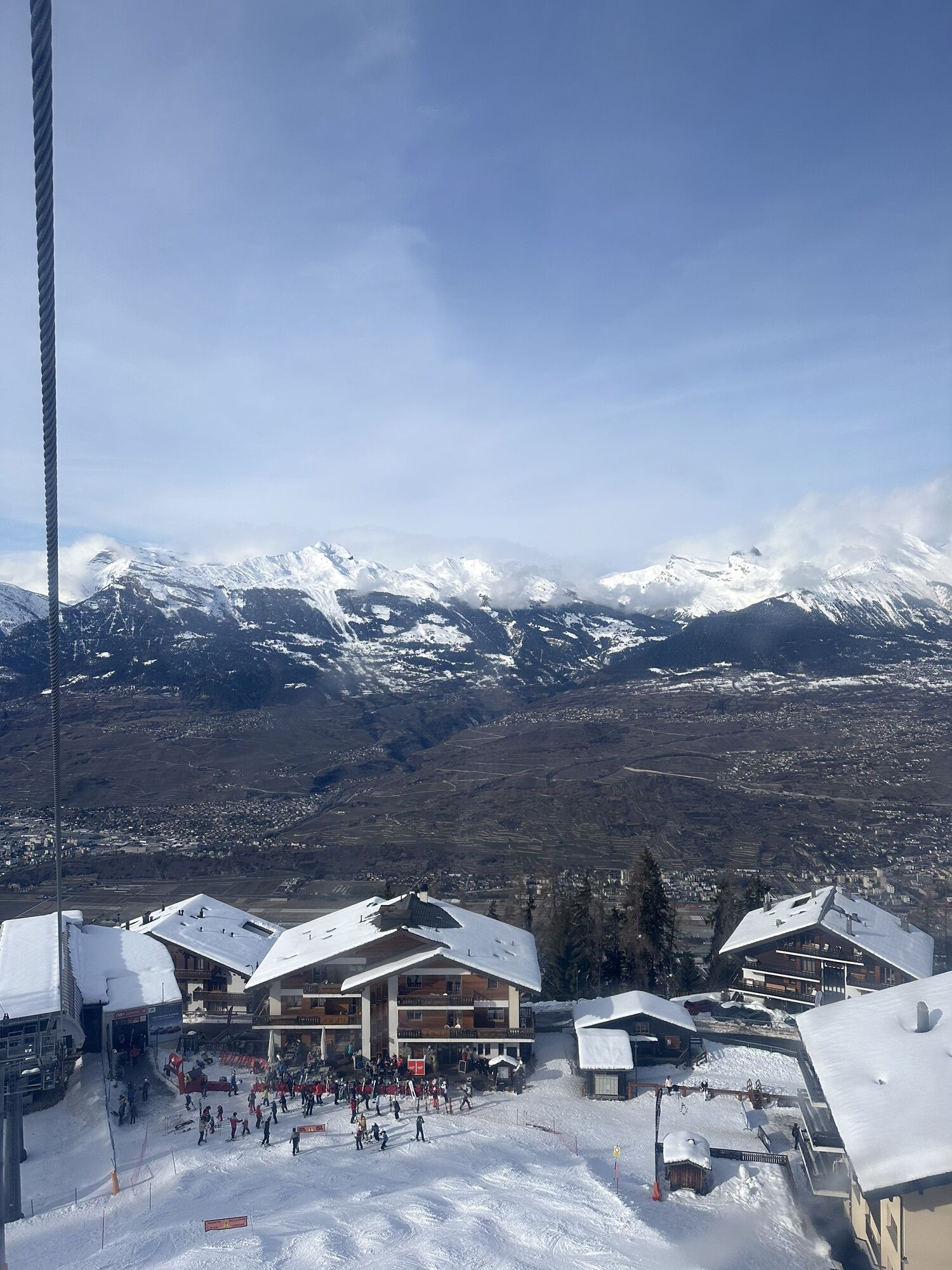
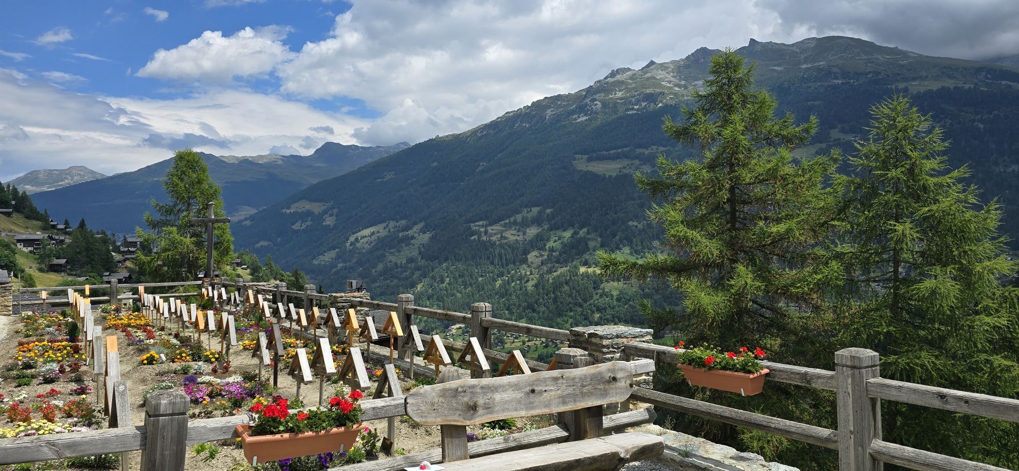
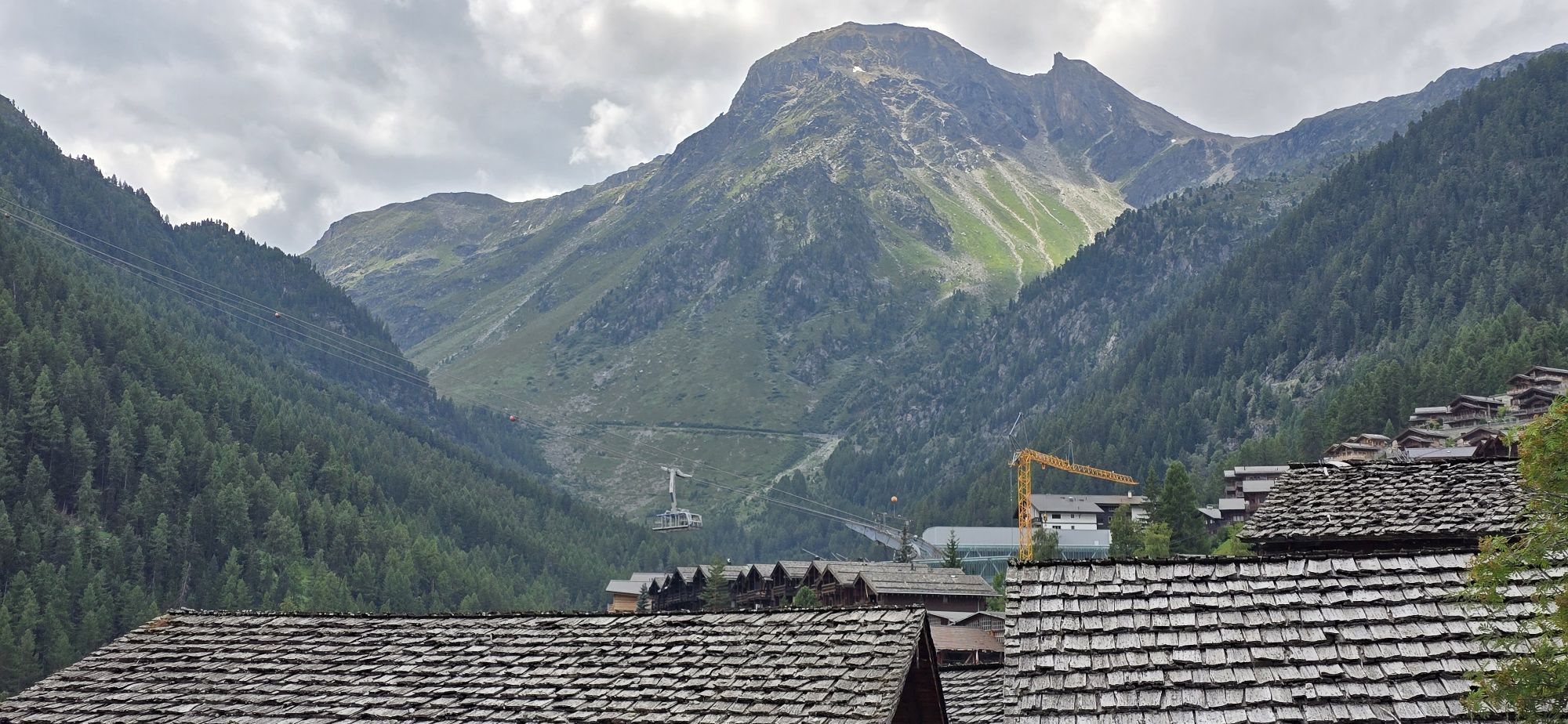
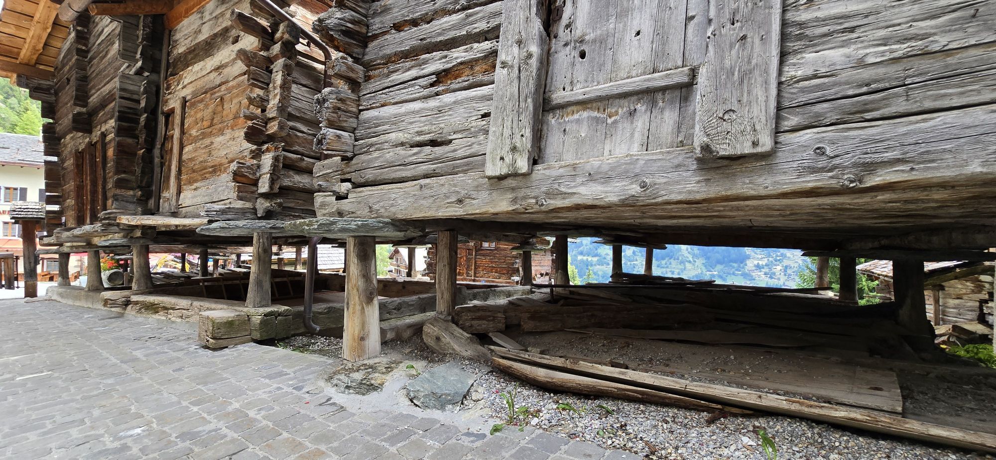
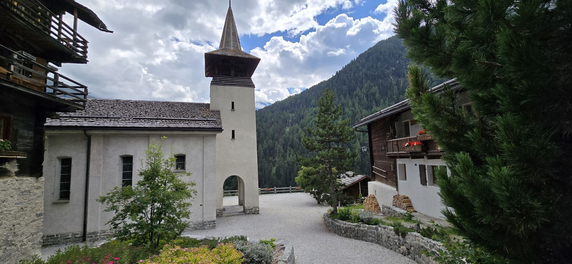
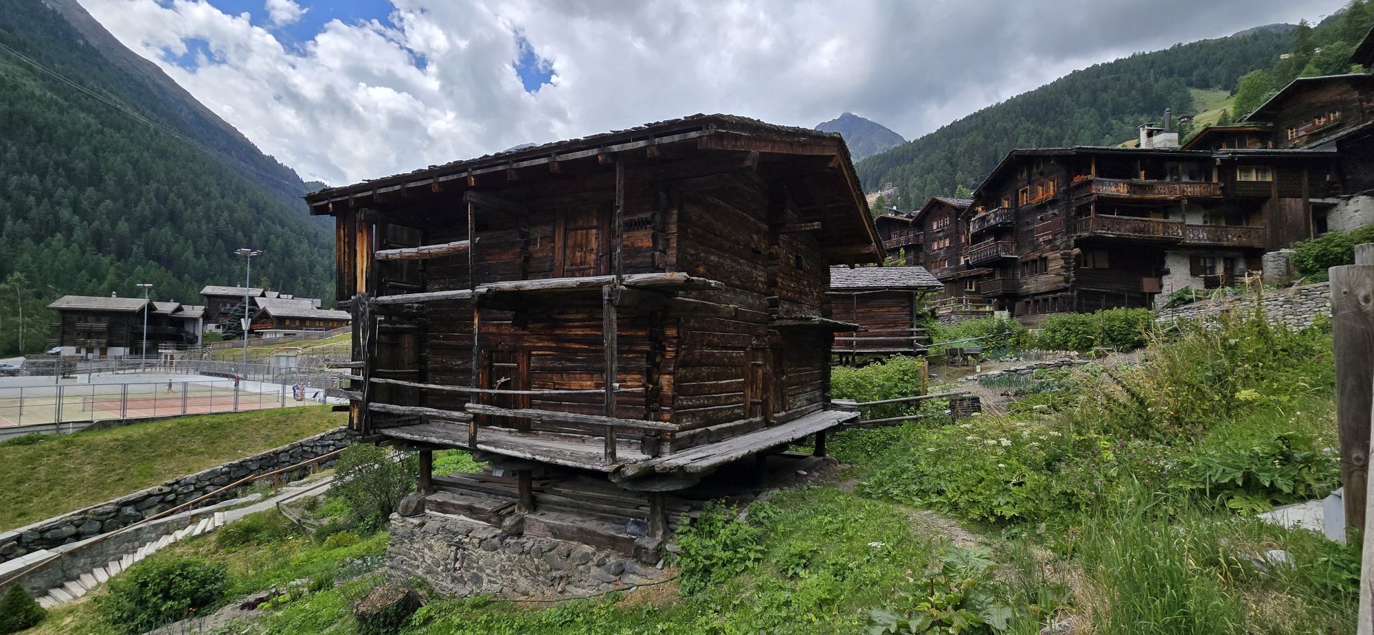
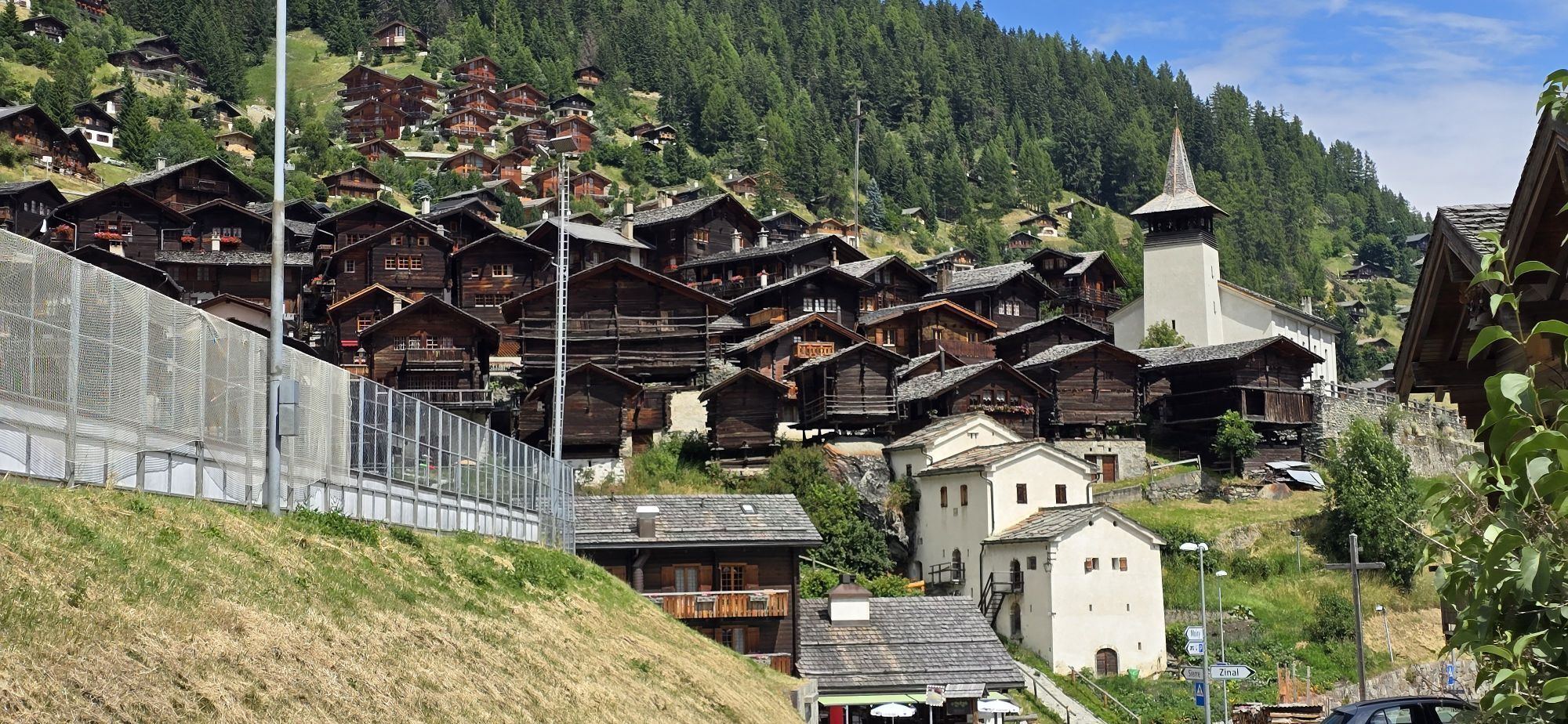
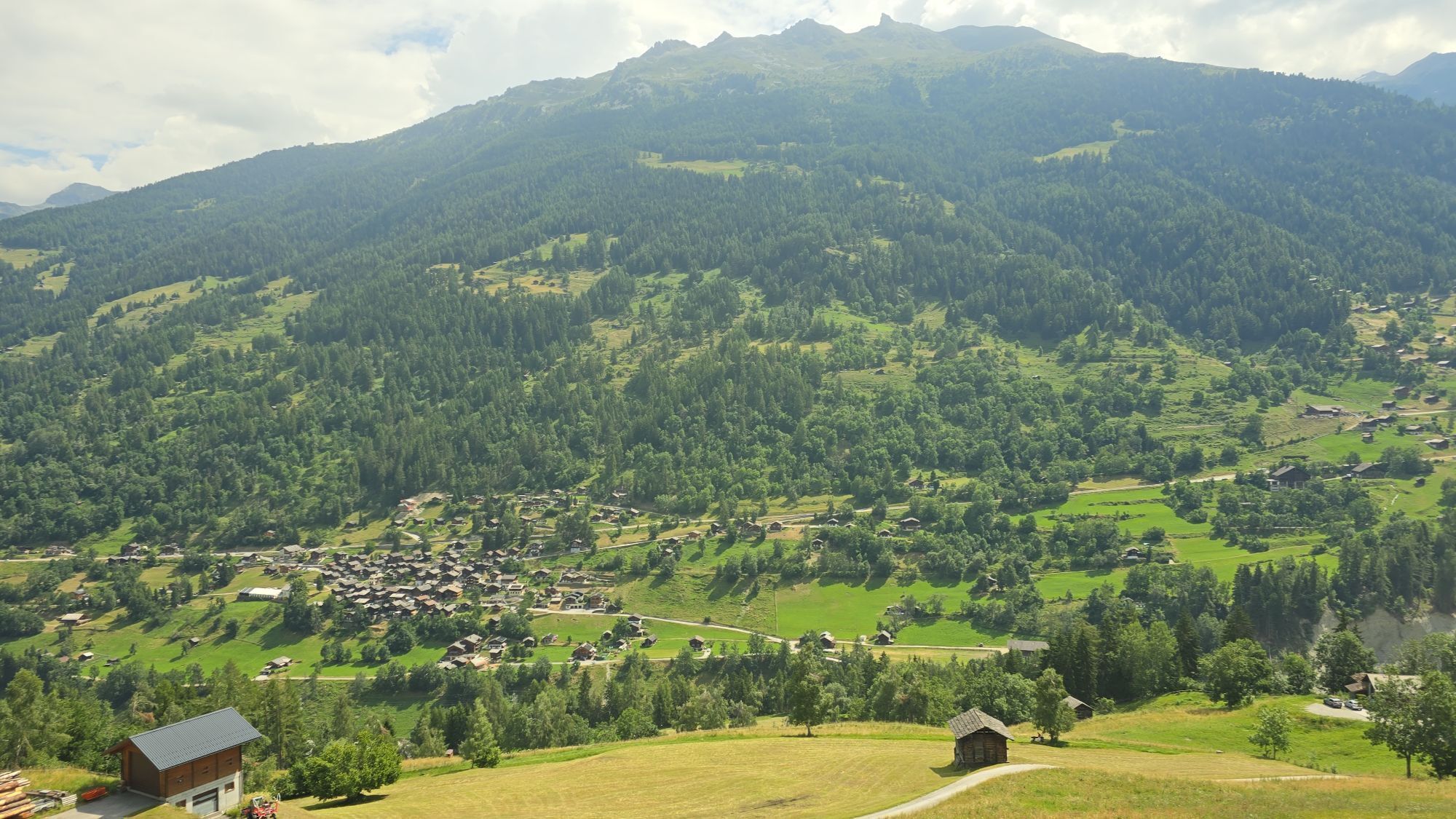
The stage begins in St-Luc and takes you among fir trees and streams to Ayer. From there you ride a few kilometers towards Zinal until you can turn off to Grimentz. You pass through the beautiful Valais...
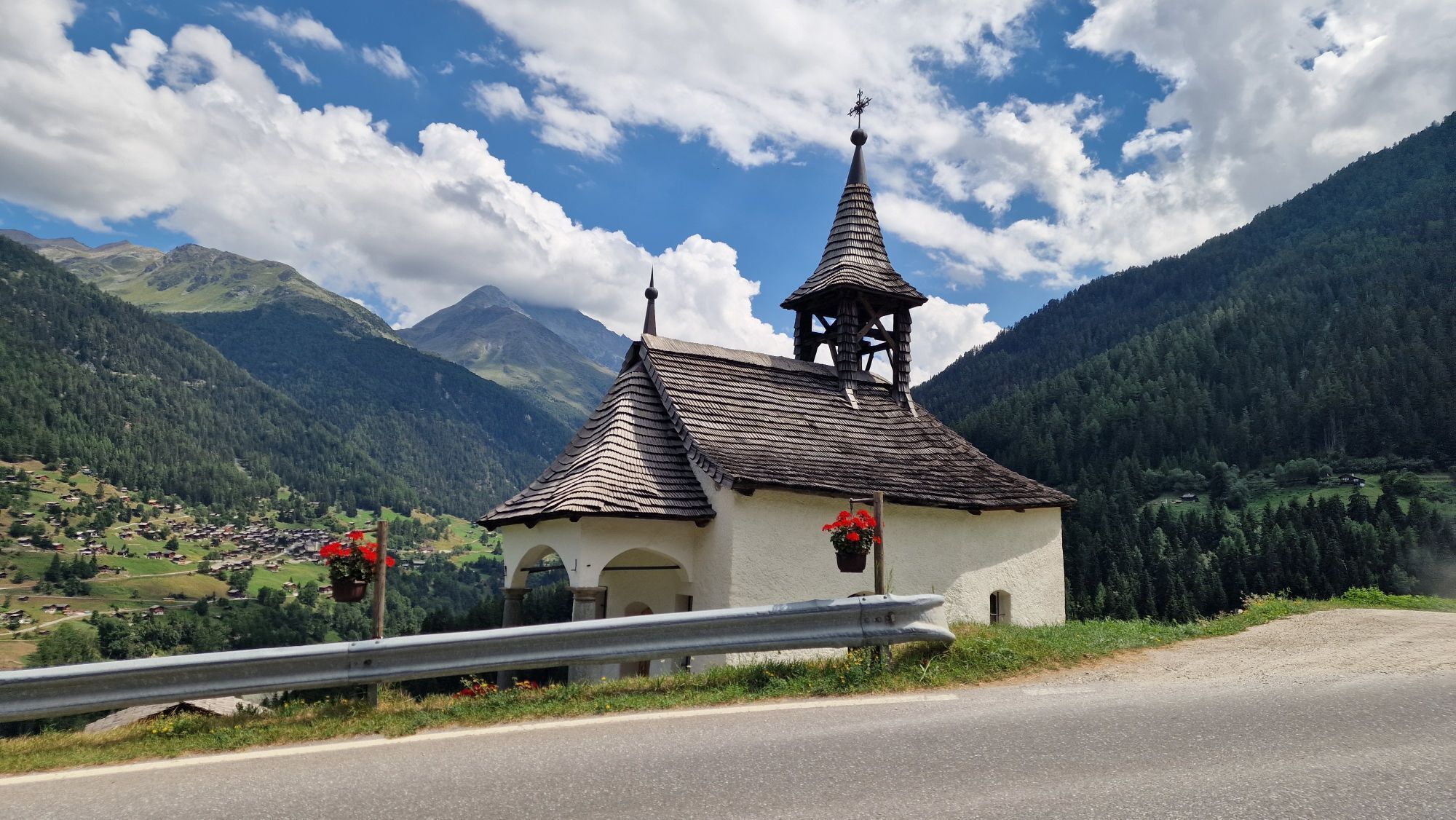
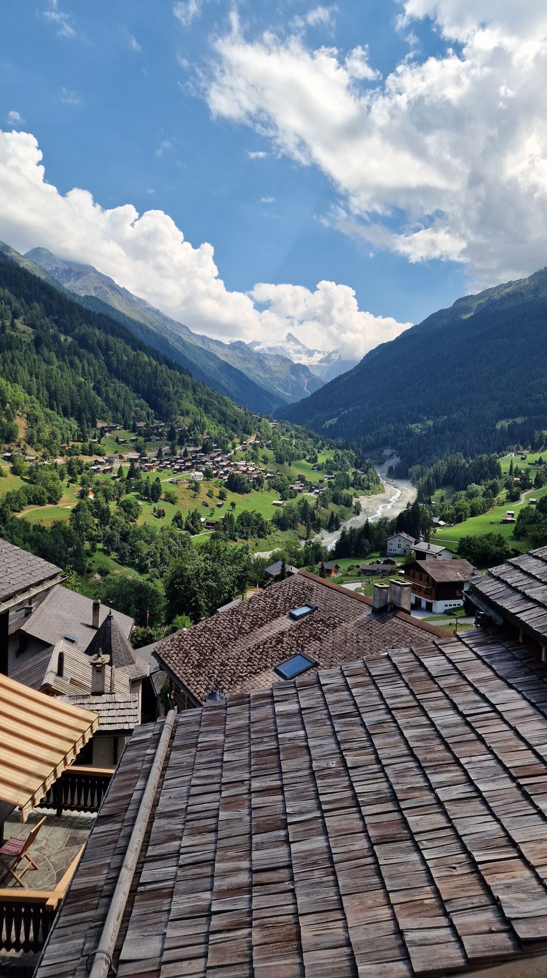
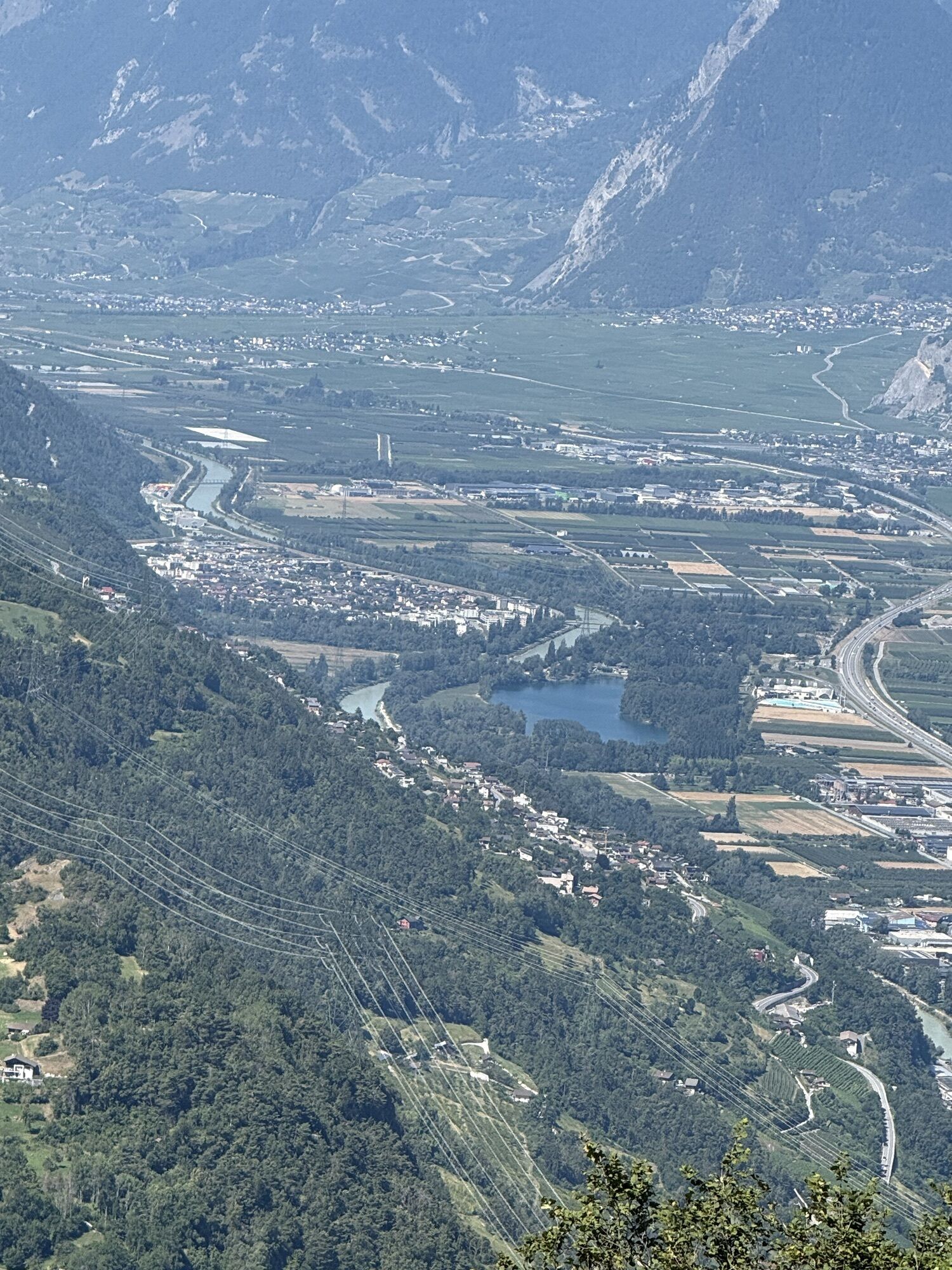
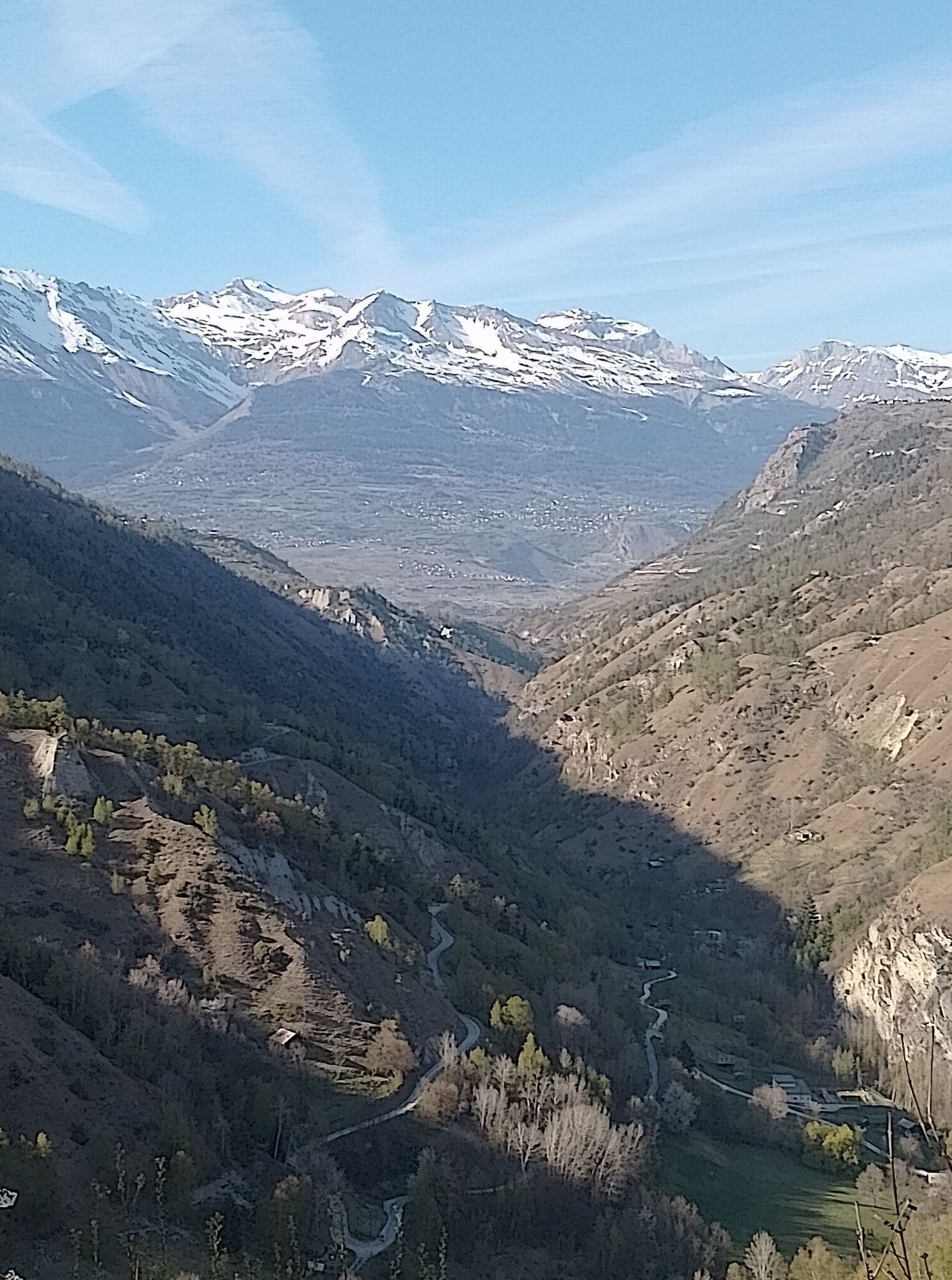
The stage begins in St-Luc and takes you among fir trees and streams to Ayer. From there you ride a few kilometers towards Zinal until you can turn off to Grimentz. You pass through the beautiful Valais village of Grimentz and ride back on the opposite side to Val d’Anniviers. Without going back down into the valley, you reach Vercorin and Nax, where you can enjoy a beautiful view of the Rhone valley. After passing Nax, the road leads down towards Loye, where you discover one of the most beautiful side valleys of Valais: Val d’Hérens. Even when you reach Vex, you do not yet drive down into the valley plain. You reach one side valley after another without touching the valley plain of Valais. After some kilometers, you reach the stage destination Veysonnaz.

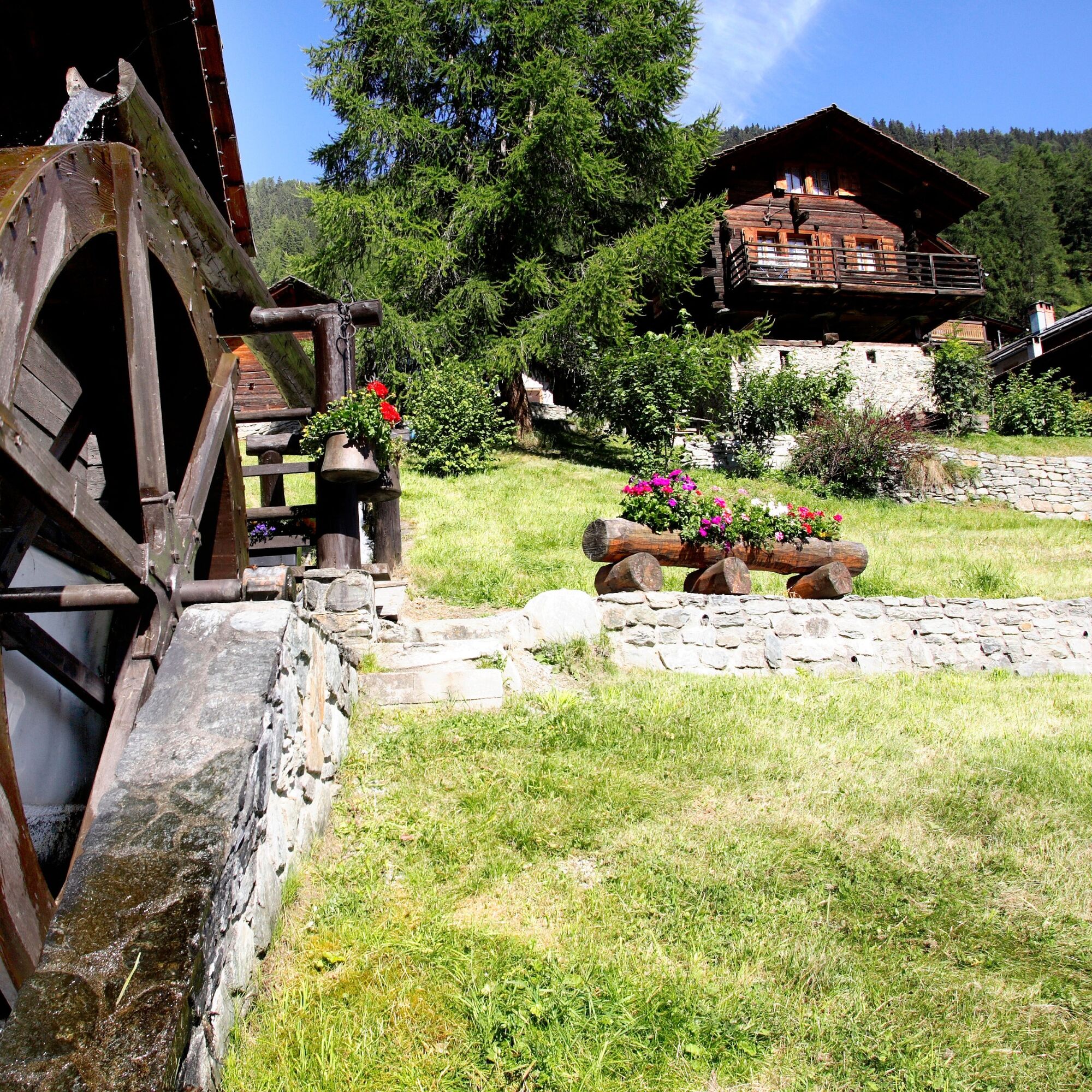
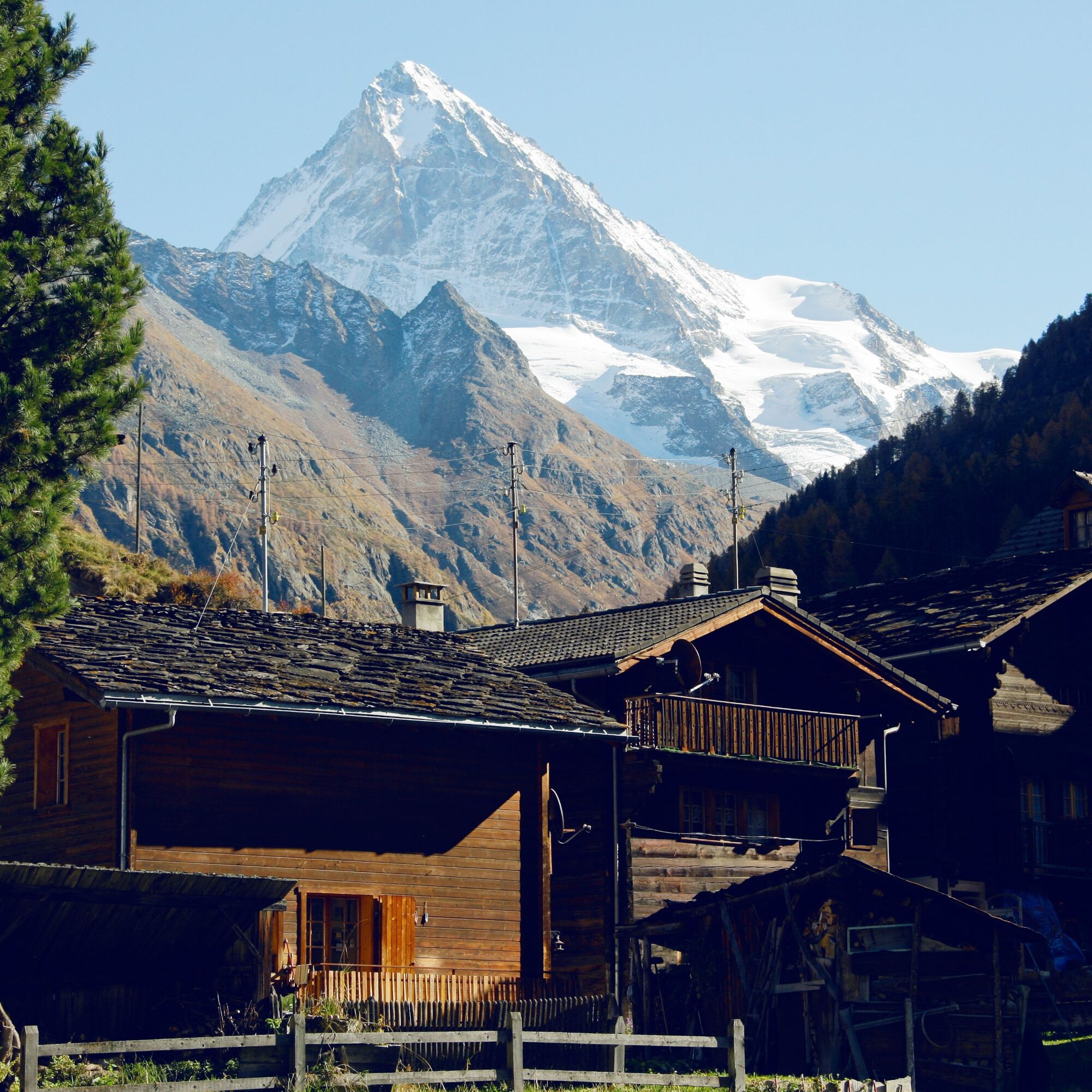
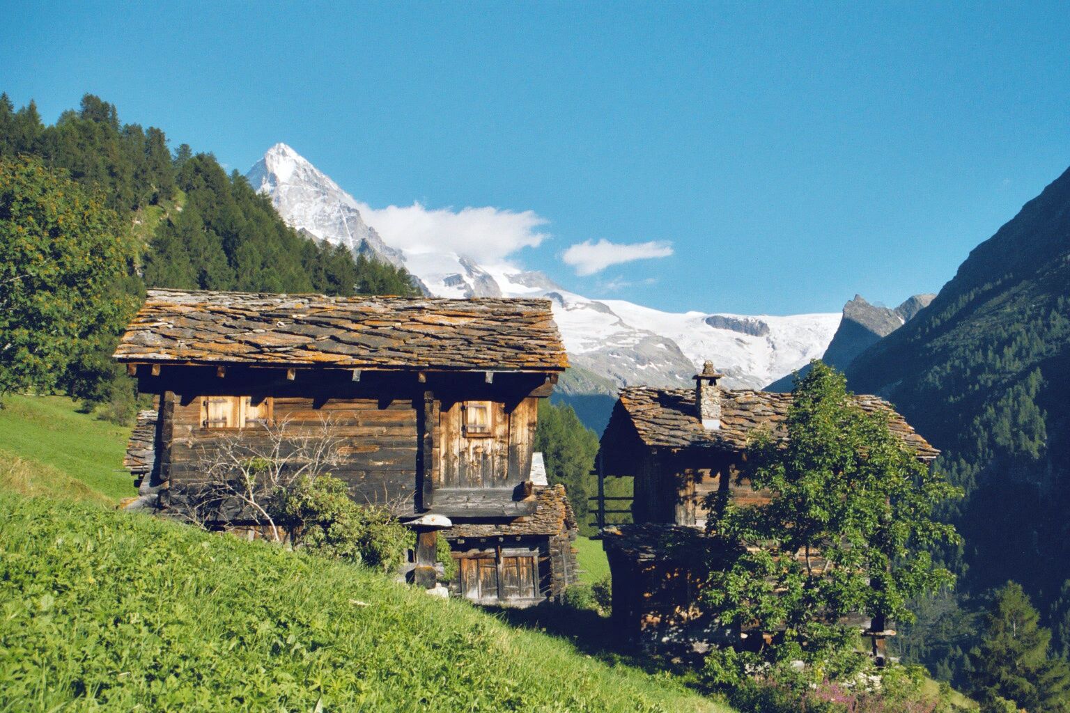
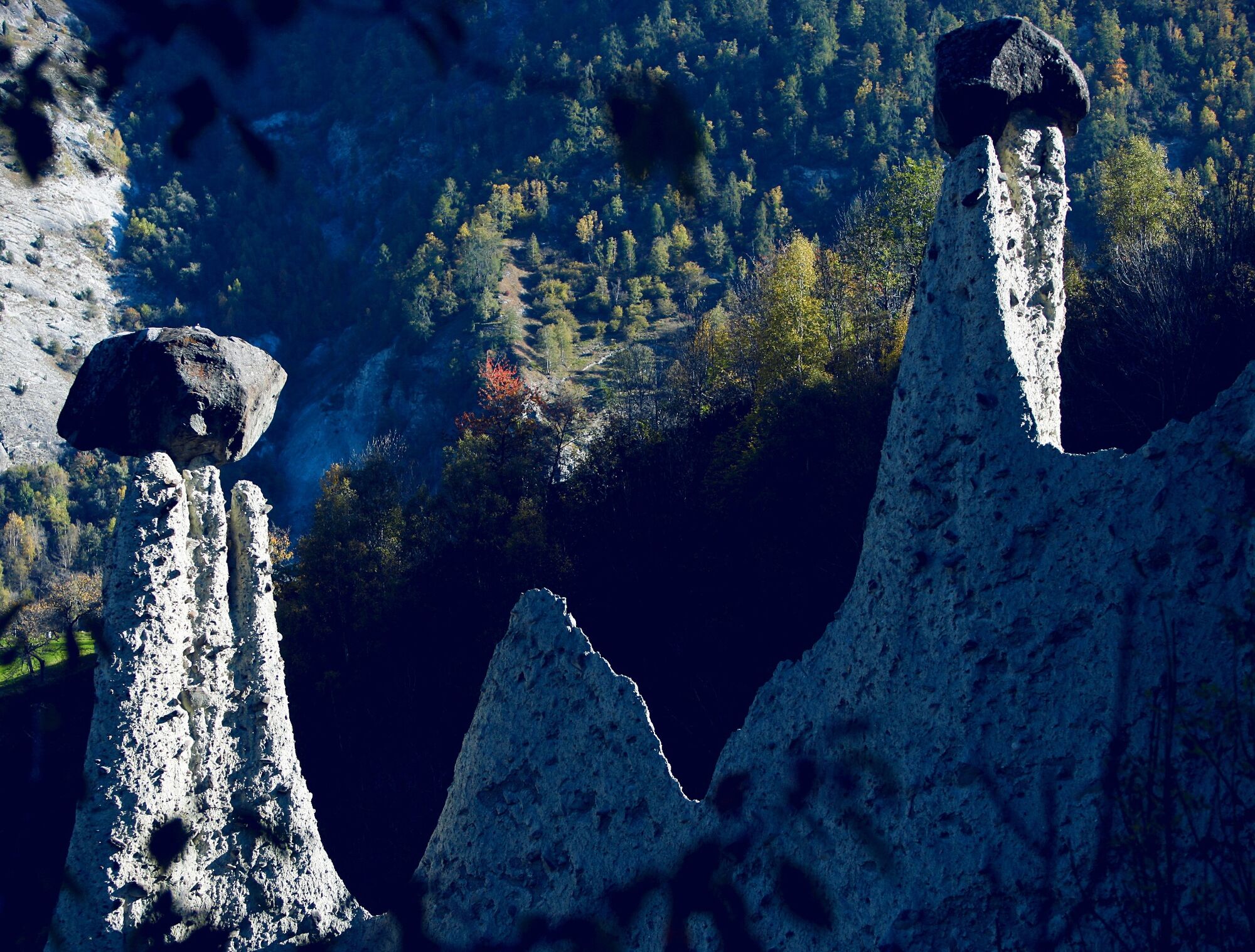

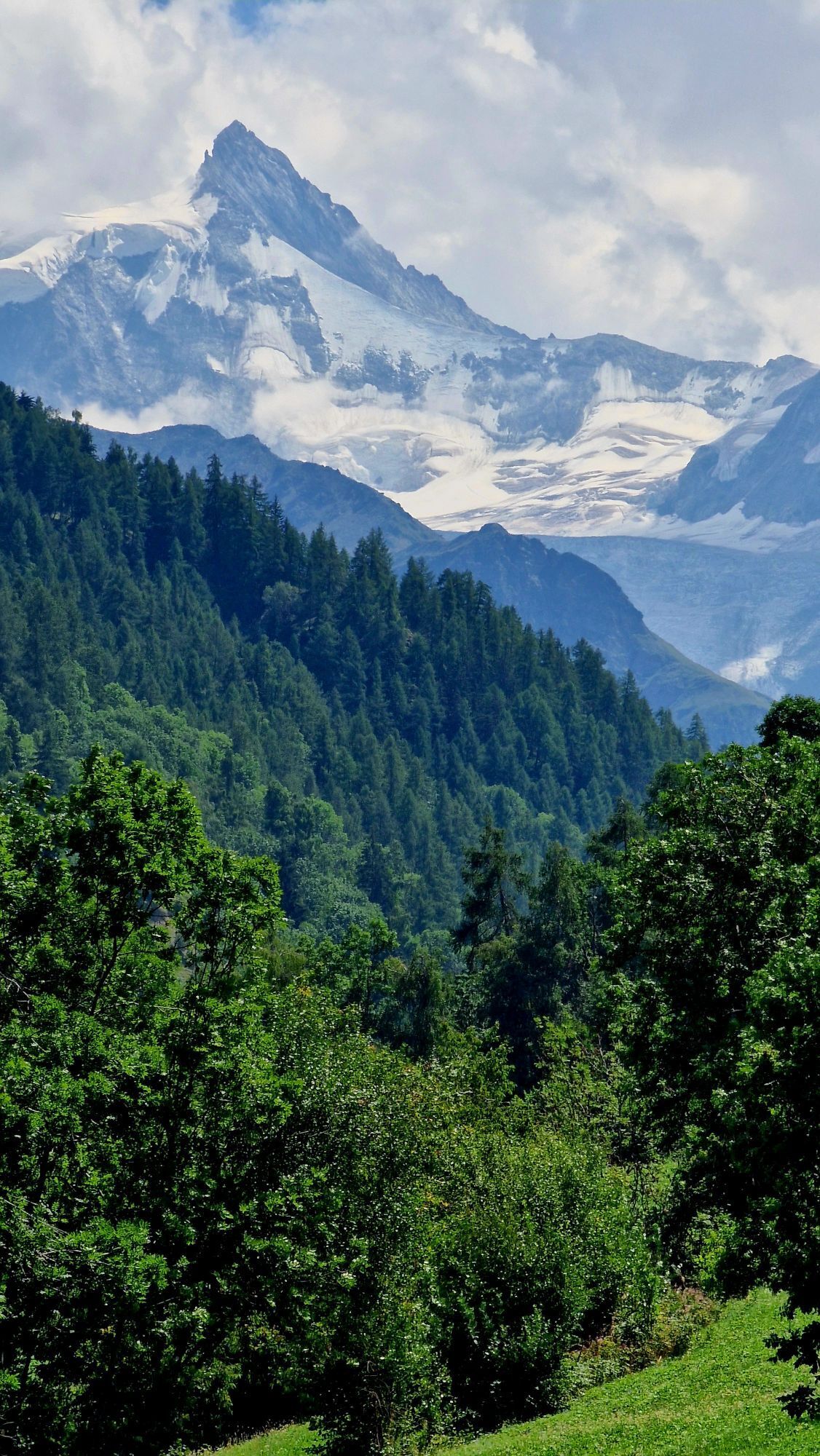
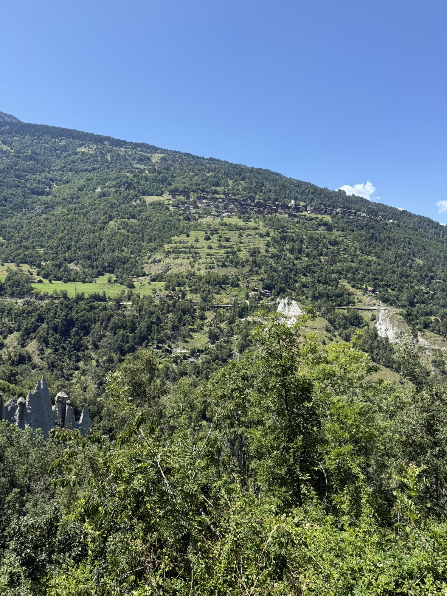
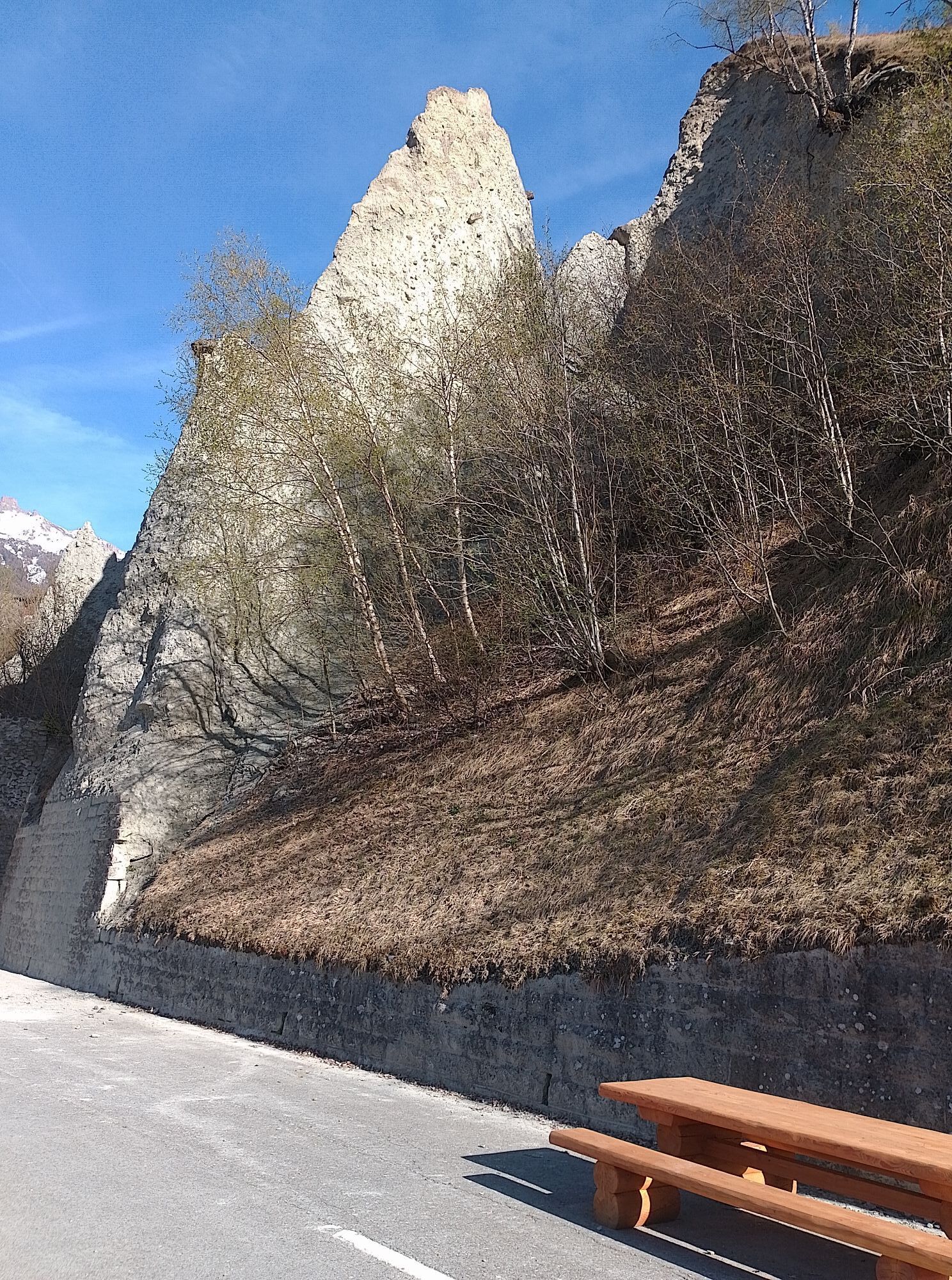
The first kilometers from St-Luc to Grimentz are quite uneven and you can enjoy the view from Val d’Anniviers to the Matterhorn. After some curves downhill, you leave Grimentz again and the road rises towards Pensec and Vercorin. On the descent to Loye, a breathtaking panorama awaits you to recharge for the climb to Nax and further into Val d’Hérens. Along the valley side, you pass through Vernamiège, Mase, and St-Martin before taking another descent to Euseigne and the famous pyramids. The last section of this stage leads through Vex and the small community of Les Agettes to Veysonnaz. Enjoy there the indescribable view over the Rhone valley and the surrounding mountains.
Áno
Áno
Our recommendation: Technically flawless bicycle, helmet, gloves and bell, clothing appropriate to the weather (always with you: rain protection), drink and food.
Respect the rules of Swiss road traffic. Traveling this route is at your own risk; any liability is excluded. Respect the flora and fauna in your surroundings. For your safety, we recommend wearing a bicycle helmet. Emergency numbers: 144 Ambulance / 117 Police /1414 Rega. Assess your own skills and fitness well. Traveling the various routes is always at your own responsibility.
Take the A9 motorway exit Sierre Est and follow the signs to Val d’Anniviers.
SBB train to Siders, then by post bus to St-Luc via Vissoie.
Since this route is part of a stage tour section and the start location does not match the destination (not a circular route), we recommend traveling by public transport. Alternatively, you can use the parking lots at the mountain railways in St-Luc. Follow the local parking guidance system for this.
3
Further information about the destinations can be found here:
St-Luc Sierre, Salgesch and surroundings Val d'Hérens VeysonnazDon't forget to make a short stop at the pyramids of Euseigne. The pyramids consist of leftover moraine material and reach a height of 10 to 15 meters. The pyramids are about 80,000 to 100,000 years old and are remnants of the Eringer glacier. They are one of the most amazing geological sights in the Alps.
Webové kamery z prehliadky
-
Grimentz Ort
-
Evolene
-
Sorebois
-
Les Masses
-
Grande Dixence
-
Hérémence, la Dent Blanche
-
Buvette Orzival
-
St. Luc/Chandolin
-
Télécabine Vercorin - Cret du Midi
-
Veysonnaz - Sportneige
-
St. Luc/Chandolin
-
St. Luc/Chandolin
-
St. Luc/Chandolin
-
Saint-Luc / Hôtel Weisshorn
-
Vallée d'Anniviers
-
Saint-Martin
-
Grimentz
-
Staudamm Moiry
-
Mont Major
-
Le Mont
-
Creux du Lavioz
-
Evolène Tourisme et Region
-
Col du Pouce
-
Vex Thyon Snowpark
-
Trabanta
-
Sommet Piste de l´Ours
-
Sommet de la Piste de l'Ours
Získajte prehľad
Vždy naživo na mieste s viac ako 9 500 webovými kamerami. bergfex Ako používateľ Pro si teraz môžete pozrieť príslušné webové kamery pre mnohé zájazdy v aplikácii zájazdy z. Môžete si tak priamo prezerať aktuálne podmienky.
Obľúbené výlety v okolí
-
5,0
Bisse du Ro
svetloTuristika 11,2 km -
4,2
Grand Bisse de Lens
svetloTuristika 8,73 km -
5,0
Bella-Tola
strednáVysoké turné 6,72 km -
Tour du Lac de Moiry
strednáTuristika 13,4 km -
4,0
Tripon - Brac – Ancien Bisse du Torrent Neuf – St. Marguerite – Torrent Neuf – Prafirmin - St. Germain
svetloTuristika 12,9 km -
4,0
Belvédère via ferrata
strednáVia ferrata 1,81 km -
5,0
Grand bisse d’Ayent
strednáTuristika 11,7 km -
4,5
Moiry via ferrata
ťažkéVia ferrata 2,93 km -
5,0
Wildstrubel Umrundung 4-Tage
strednáTuristika 79,1 km -
4,5
Tour of Val d’Anniviers: Zinal–Grimentz (Stage 3)
strednáTuristika 14,5 km
Turistika a stopovanie


Nenechajte si ujsť ponuky a inšpiráciu na ďalšiu dovolenku
Vaša e-mailová adresa bol pridaný do poštového zoznamu.





