


Eiu-Trail
The trail starts at the mountain railway parking lot in Saas-Almagell and first follows the main road to the chapel in Zermeiggern. From there, it continues alongside the cross-country ski track towards...
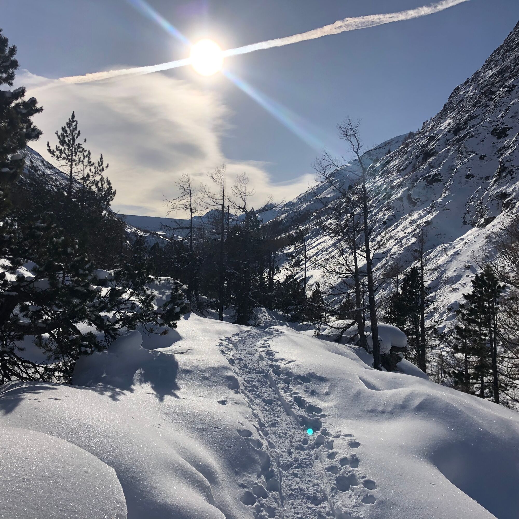
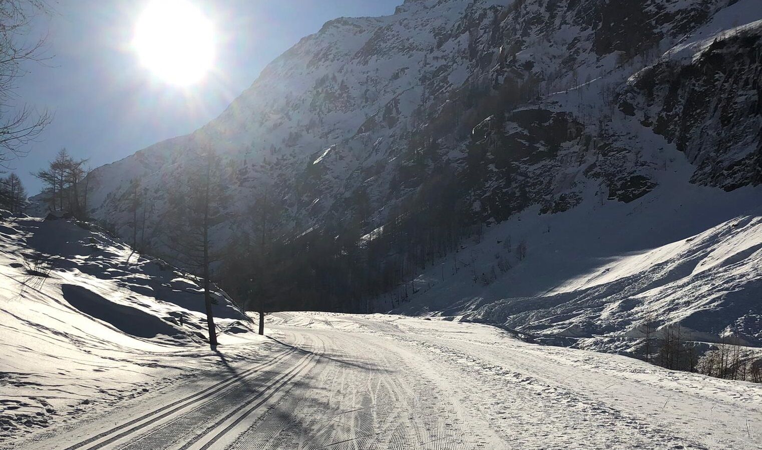
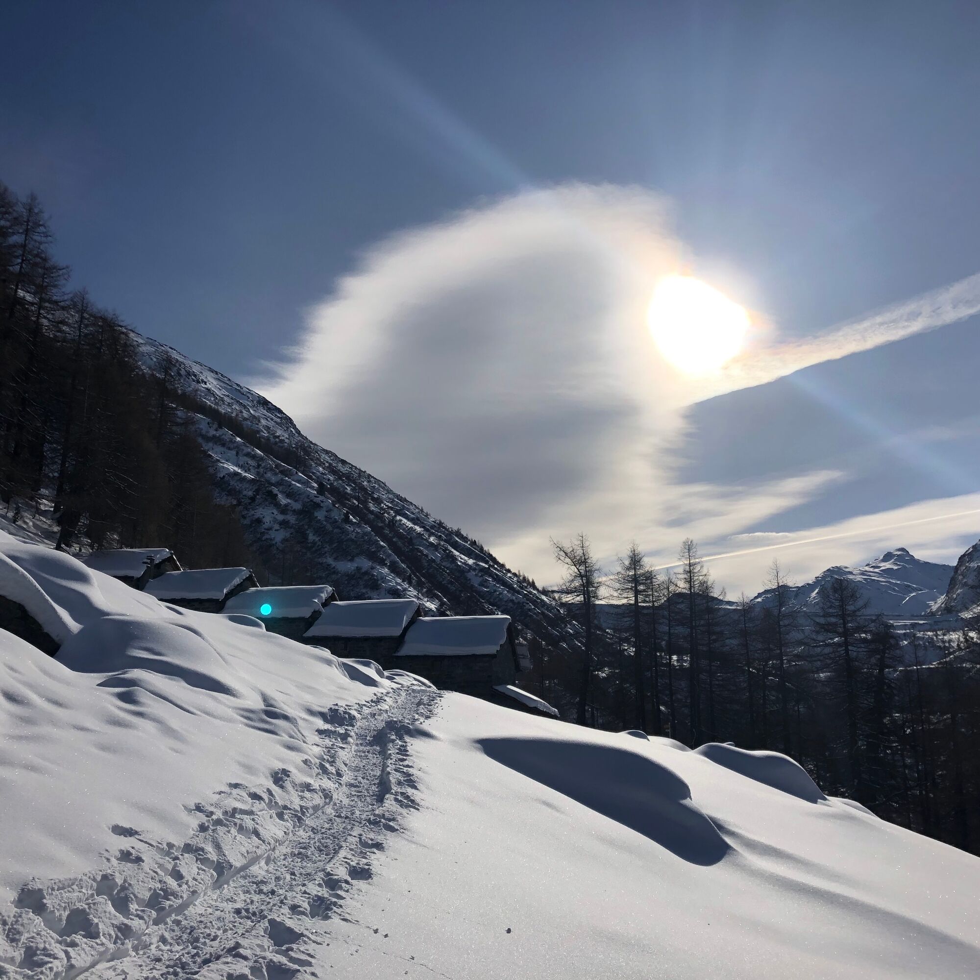
The trail starts at the mountain railway parking lot in Saas-Almagell and first follows the main road to the chapel in Zermeiggern. From there, it continues alongside the cross-country ski track towards Mattmark. After the open area, the path turns left near the young larches and the signpost and slowly ascends the slope onto the old path. The route now leads through the snowy, open forest landscape. At the huts of the "Eiu" Alp, the small descent to the ski track begins. The path then follows the ski track downhill to Zer Meiggeru and alongside the main road back to Saas-Almagell. Alternatively, from Zermeiggern, you can walk along the ski track to the Webstube.
Saas-Almagell - Zer Meiggeru - Eiu - Zer Meiggeru - Saas-Almagell
Hiking boots or winter shoes with snow-gripping soles
Snowshoes
Poles
Weather-dependent, waterproof, and warm clothing
Headgear
Sun protection
Fluids and provisions
Navigation tool
First aid kit
Use of the snowshoe routes and the information on this website is at your own risk. Conditions on site may lead to changes in the routes.
Snowshoe routes require increased attention and caution regarding weather conditions, avalanche risk, and slipping hazards. Use only marked routes and observe all signs and instructions - for your own safety, to protect livestock, and to avoid disturbing the peace of wildlife. Plan your route carefully: consider the required fitness of all participants, the weather forecast, and the season. Weather conditions in the mountains can change very quickly and without warning. Appropriate clothing and sufficient provisions (food and drink) are very important. In unstable weather, it's better to turn back early. Pay attention to warning signals indicating dangers, especially avalanche risk. Inform third parties about your route and if possible, never go alone. Do not go onto glaciers without a mountain guide.The Saas Valley is easily and conveniently accessible by car from all directions, whether from within Switzerland or from abroad. From the north, you reach us via Bern through the Lötschberg car shuttle. From the east, you come via the Furka Pass or the Furka car shuttle. From the south, we are accessible via the Simplon Pass or the Simplon car shuttle, and from the west you drive via Lausanne along the Rhone Valley to Visp and from there towards Saas-Fee.
From Visp, drive south towards Saas-Fee. At the "Killerhof" roundabout near Stalden, take the second exit towards Saas-Fee. In Saas-Grund, turn left after the church towards Saas-Almagell.
Take the SBB to Visp and transfer there to the PostBus towards Saas-Fee (Bus 511). In Saas-Grund at the Post stop, transfer to the PostBus towards Saas-Almagell (Bus 513). Get off at the Sportplatz stop.
Large parking lot after the village square.
Saastal Tourismus AG
Obere Dorfstrasse 2
3906 Saas-Fee
Tel.: +41 (0)27 958 18 58
E-Mail: info@saas-fee.ch
www.saas-fee.ch
If you still have some energy left, you can extend the route from Eiu Sand with the ascent to the Mattmark Dam.
Obľúbené výlety v okolí
-
4,9
Allalinhorn vom Mittelallalin über Normalweg
strednáVysoké turné 6,15 km -
3,3
Europaweg Grächen - Europahütte - Zermatt
ťažkéTuristika 39,9 km -
3,6
Höhenweg Kreuzboden - Almagelleralp - Saas-Almagell
Turistika 9,74 km -
3,4
Waldweg Saas-Fee - Saas-Almagell
Turistika 2,83 km -
3,8
Höhenweg Saas-Fee - Grächen
Turistika 12,0 km -
5,0
Weissmies Südgrat von Saas Almagell
strednáVysoké turné 20,5 km -
5,0
Via ferrata Jägihorn
ťažkéVia ferrata 6,14 km -
3,5
Saas-Fee - Gemsweg - Hannig - Plattjen
Turistika 6,89 km -
3,0
Mattmark - Monte Moro - Macugnaga
Turistika 10,6 km -
5,0
Winter Hike Mattmark
strednáZimná turistika 14,0 km

Turistika a stopovanie


Nenechajte si ujsť ponuky a inšpiráciu na ďalšiu dovolenku
Vaša e-mailová adresa bol pridaný do poštového zoznamu.