



Almageller Höhenweg Trail

Úroveň náročnosti: T2
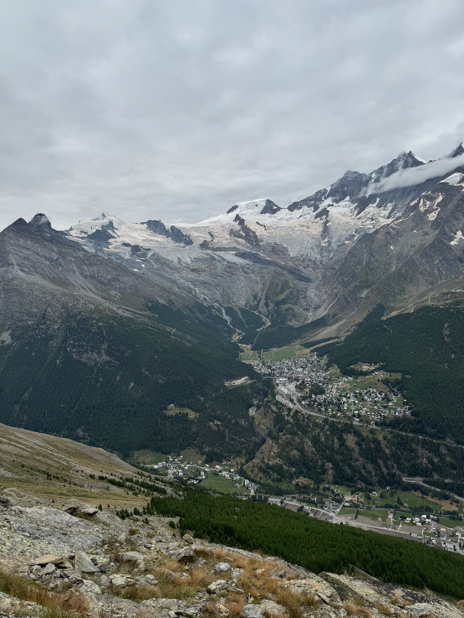
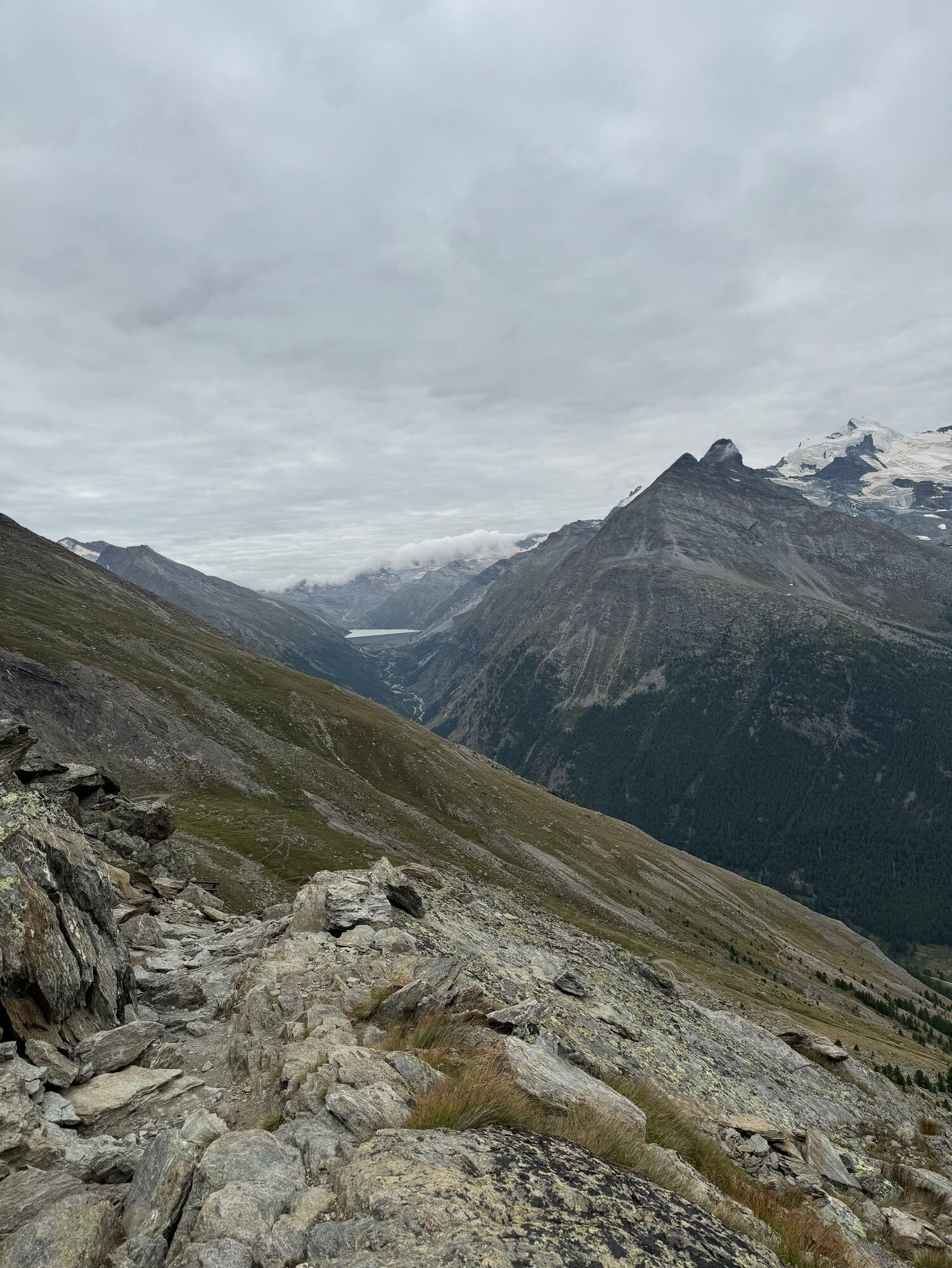
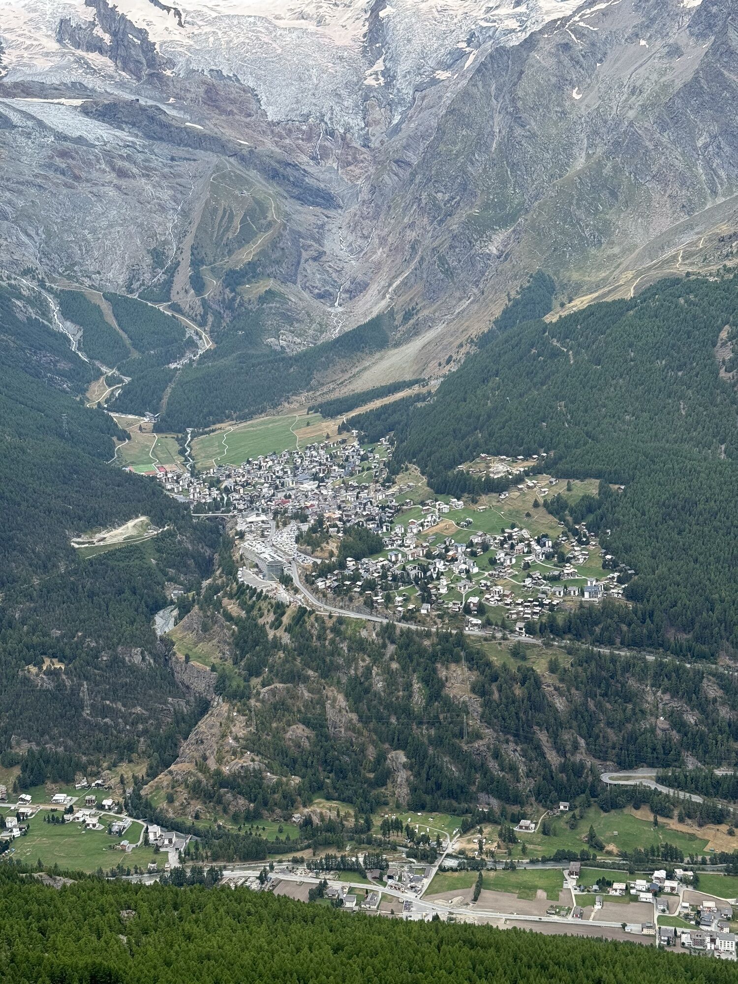
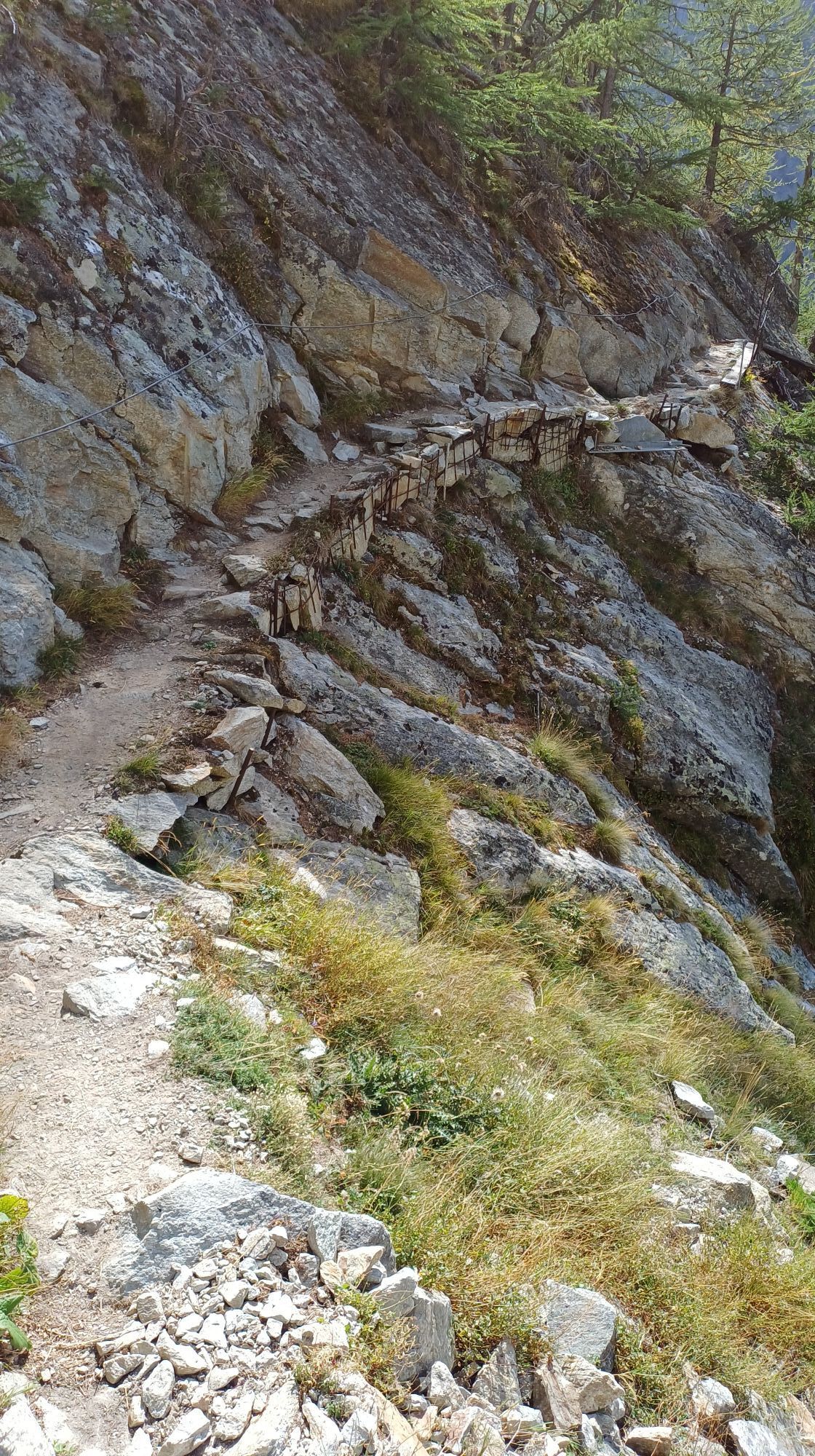
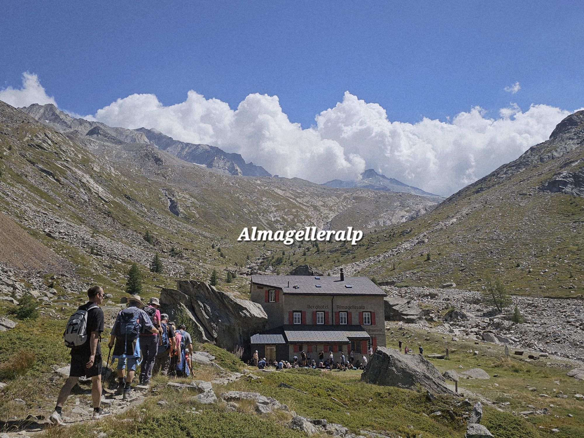
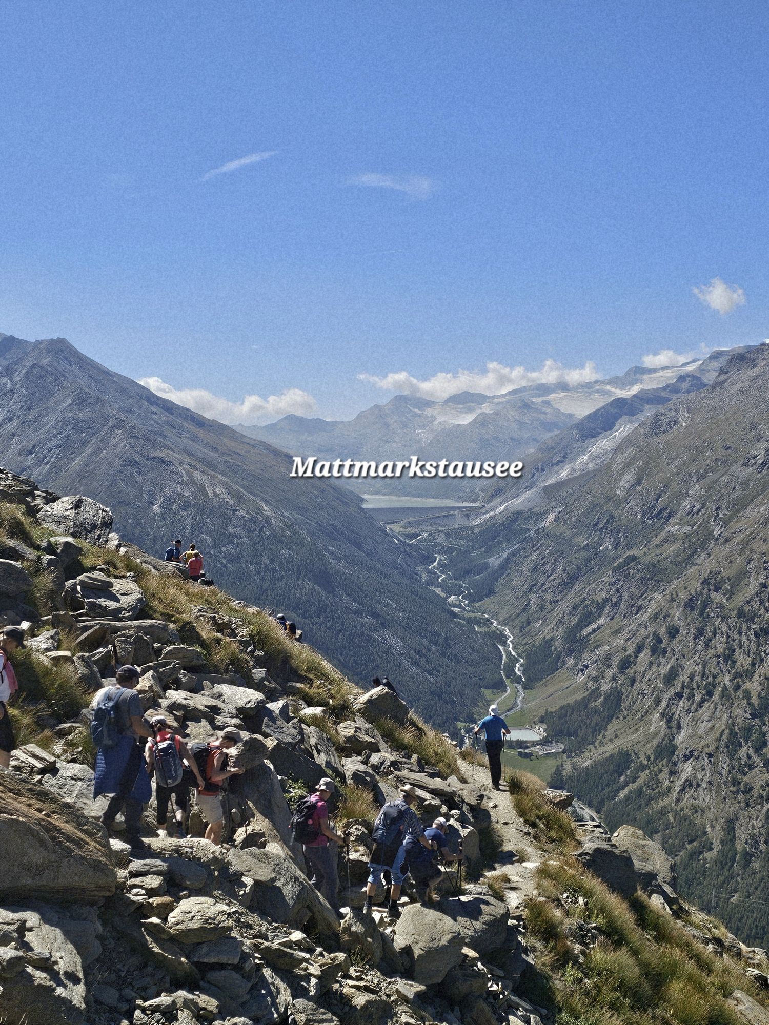
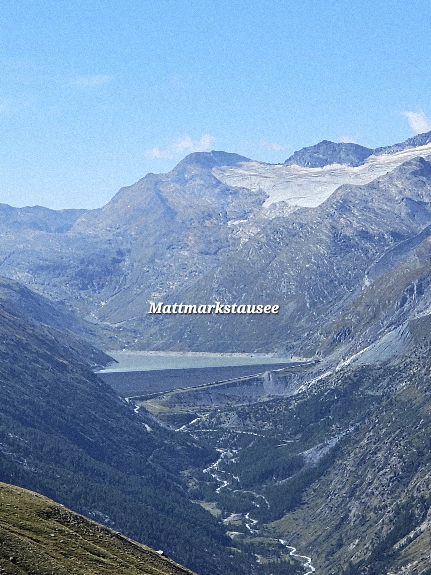
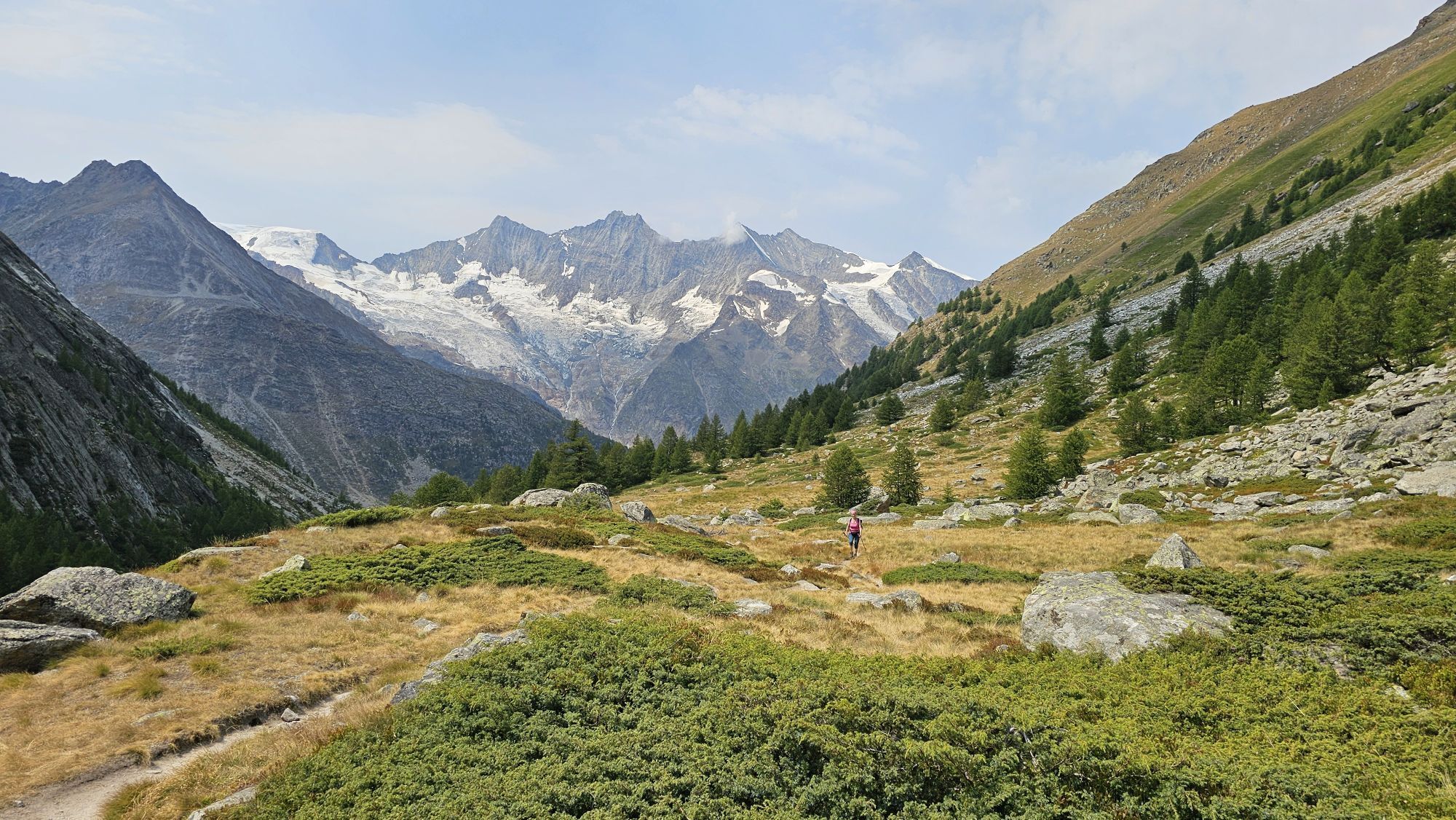
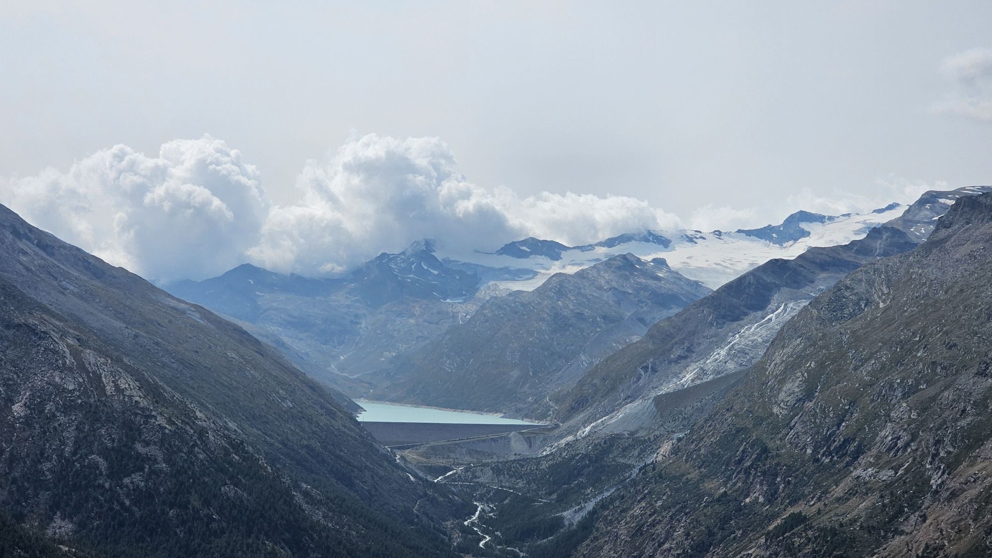
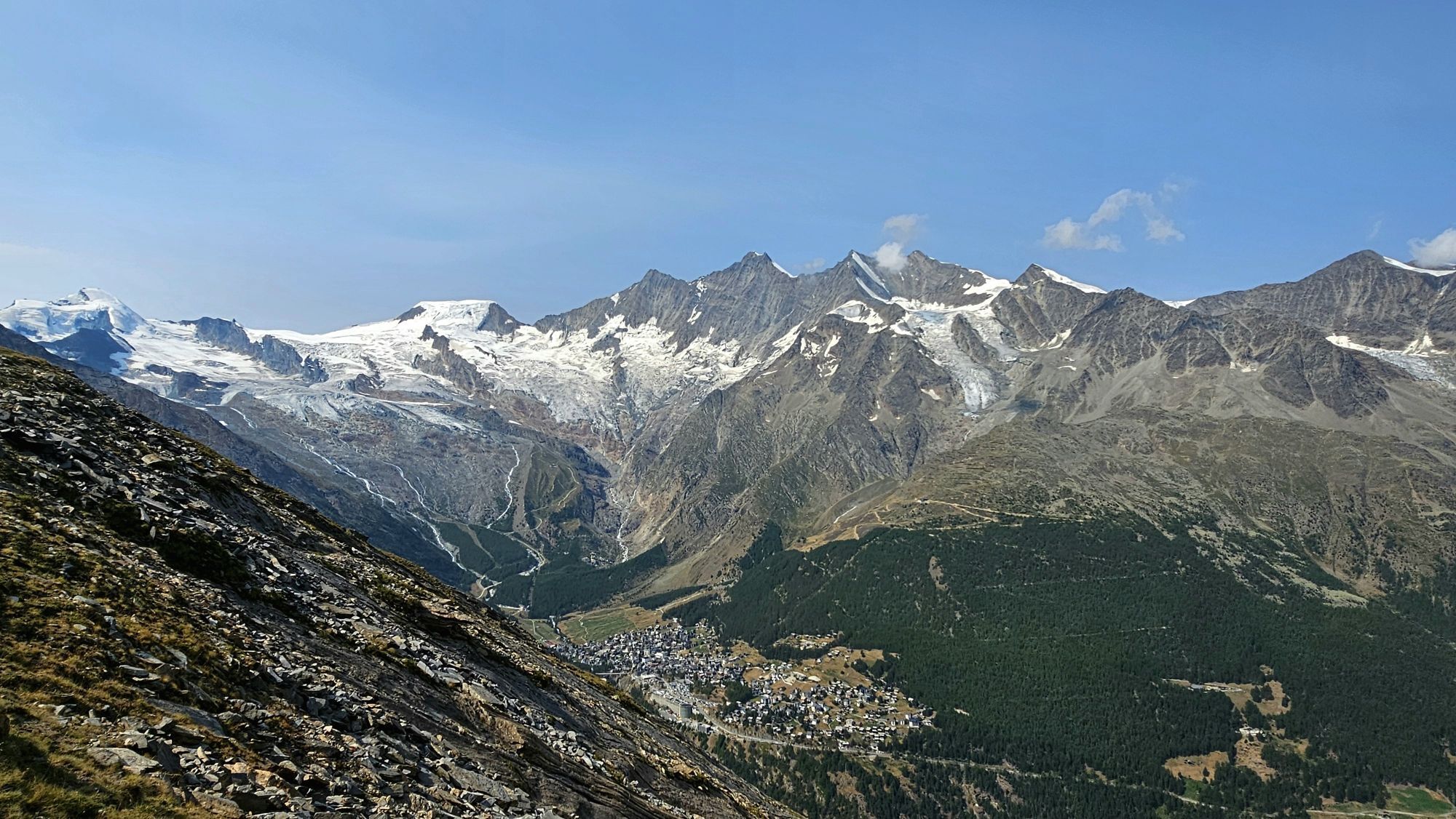
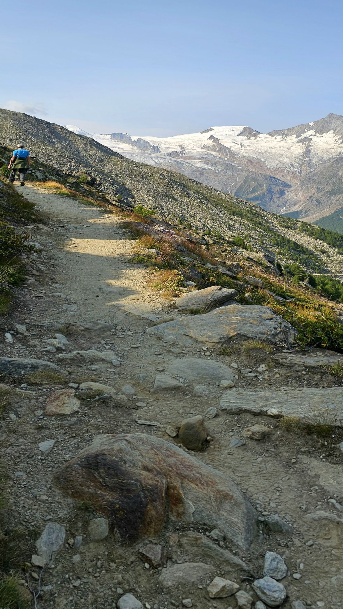
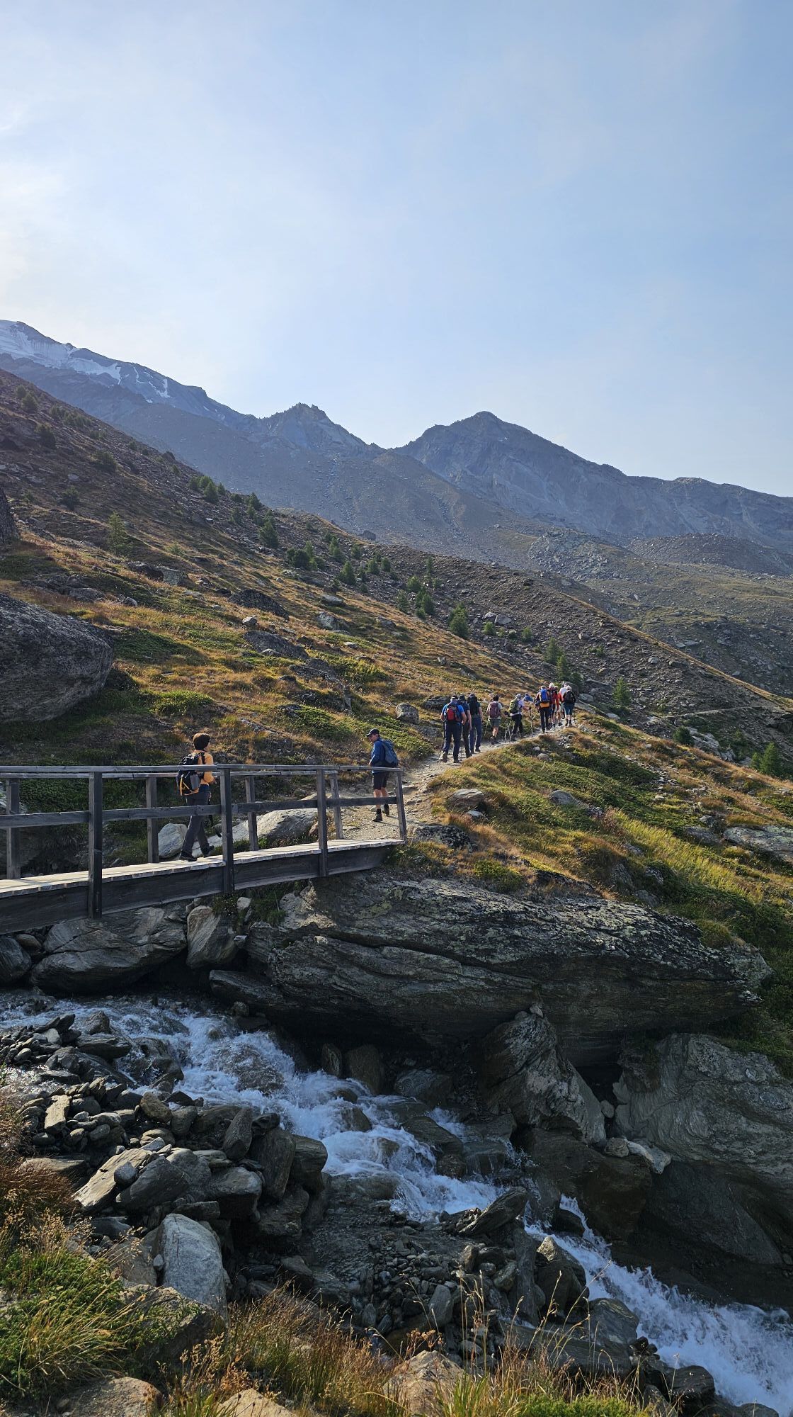
From the Saas-Grund valley station, the route leads over the Alpweiler Bodme, Tewald, and Hannig up to Kreuzboden. Past the Kreuzbodensee you reach the Almageller Höhenweg. This path first goes through...
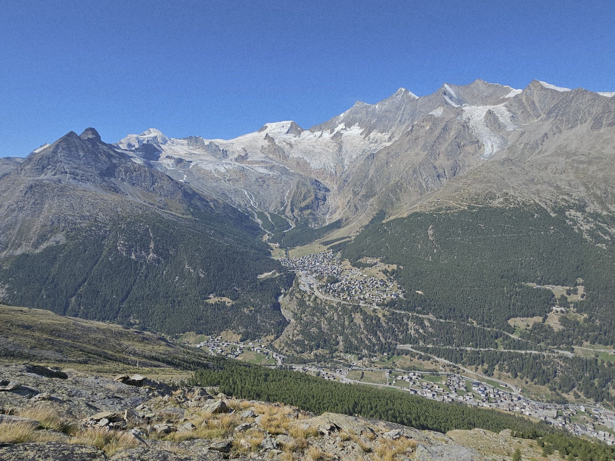
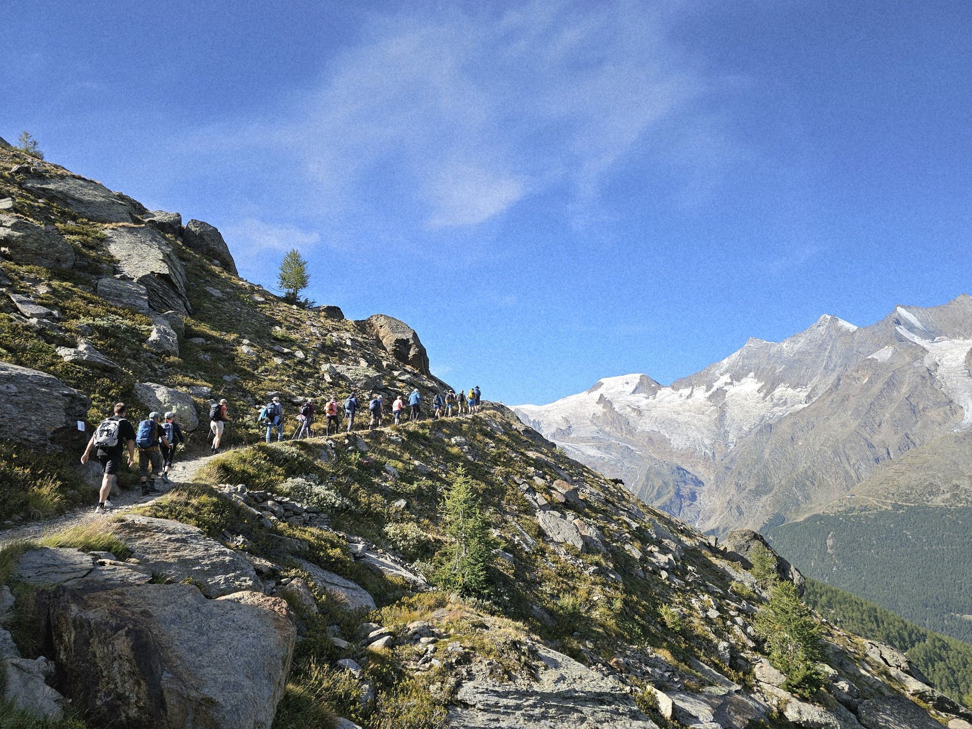
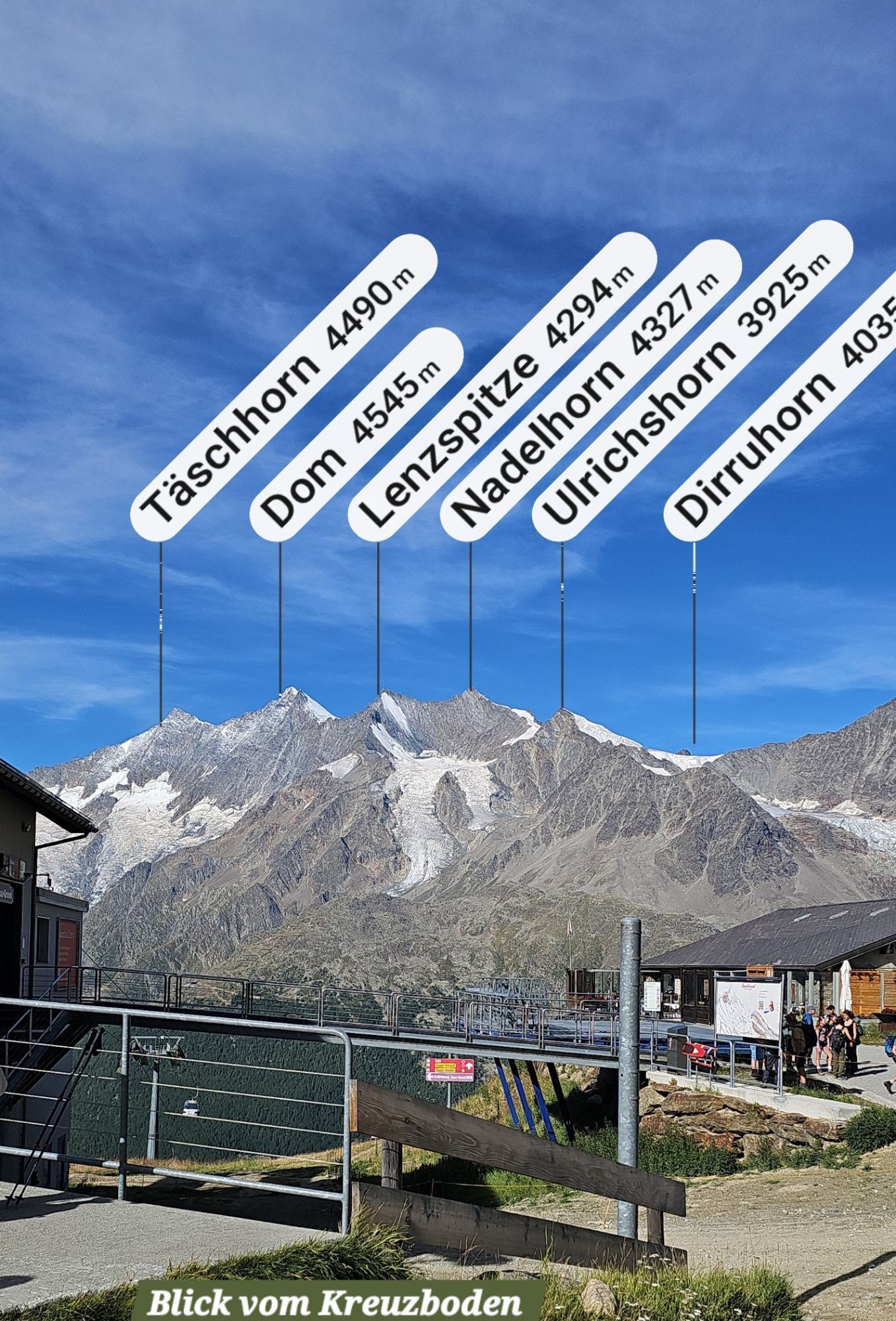
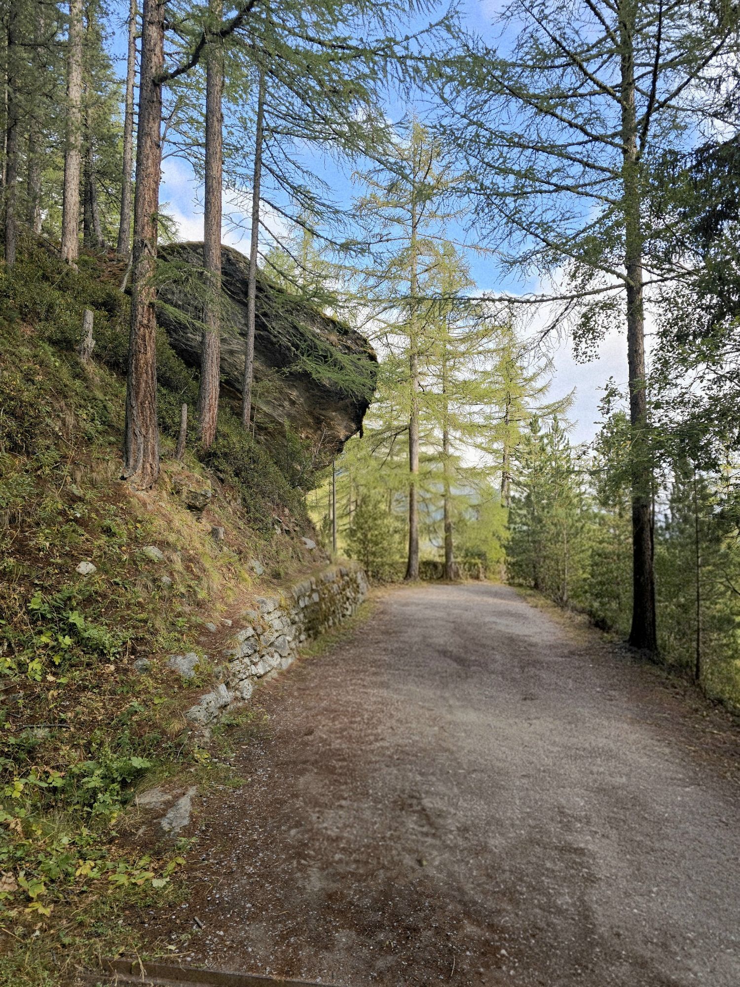
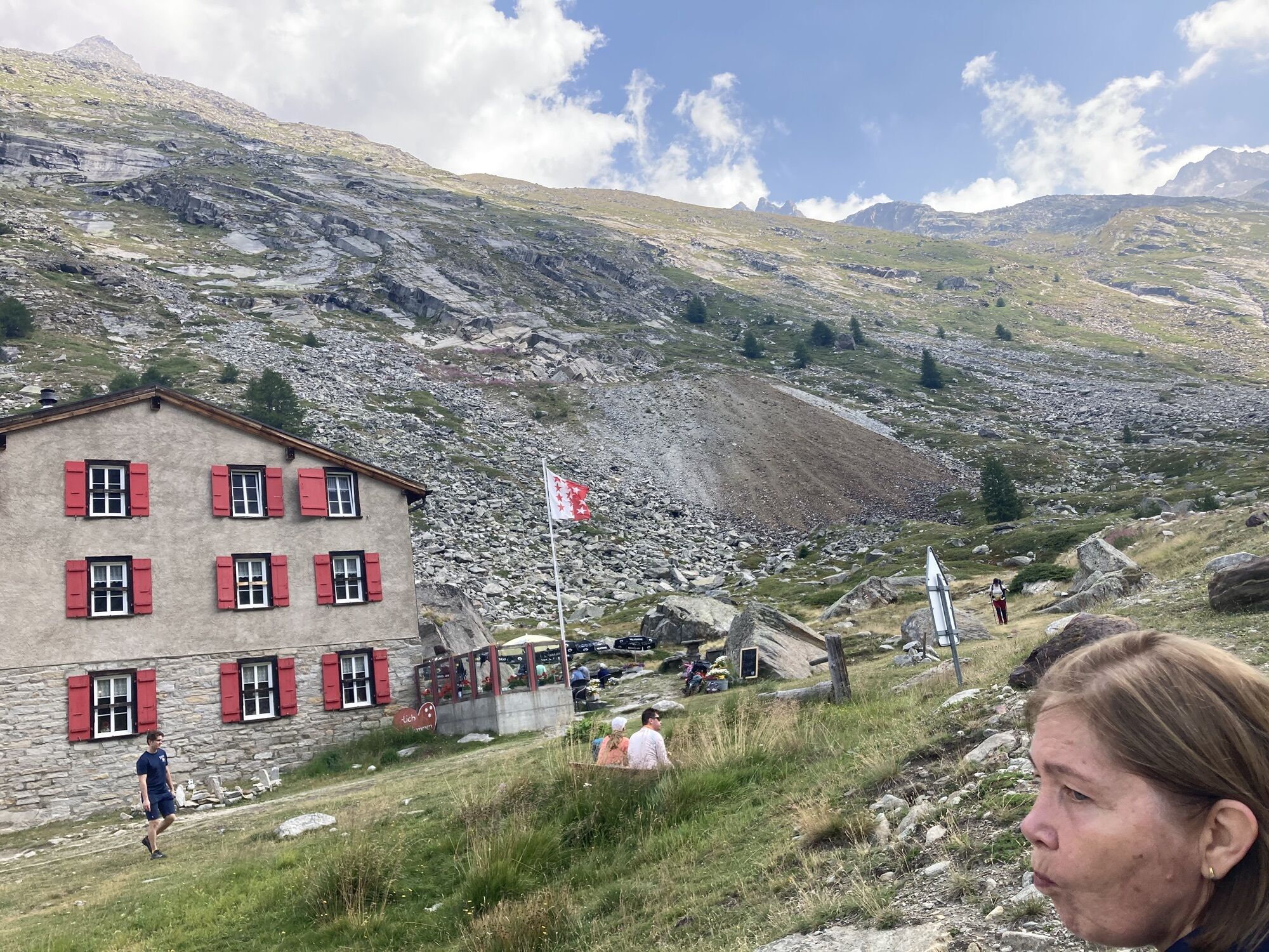
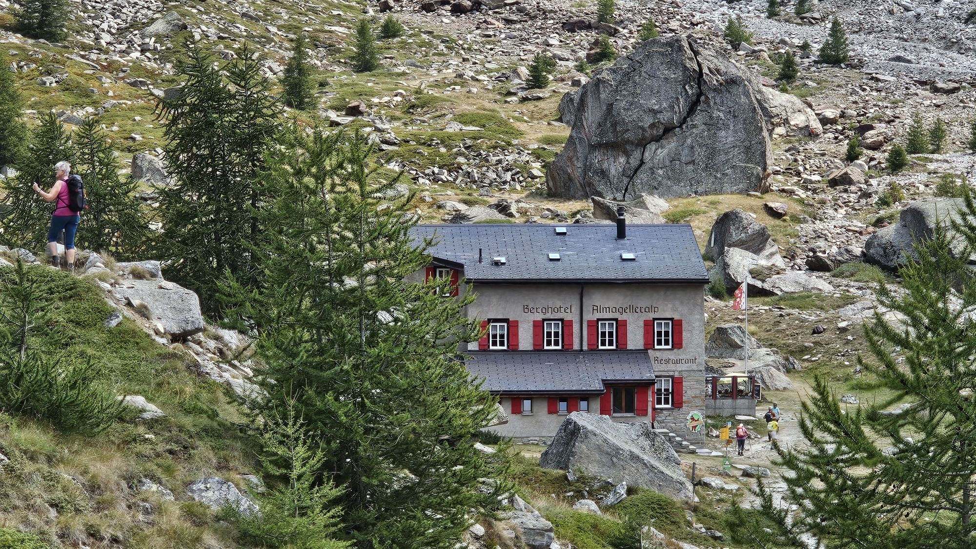
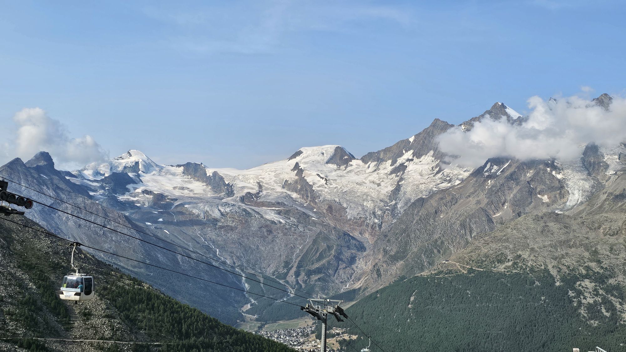
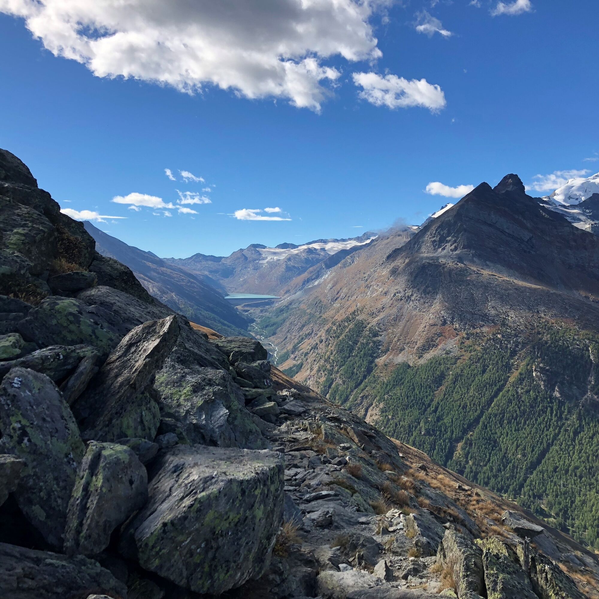
From the Saas-Grund valley station, the route leads over the Alpweiler Bodme, Tewald, and Hannig up to Kreuzboden. Past the Kreuzbodensee you reach the Almageller Höhenweg. This path first goes through the scree field at Triftgrätji, from the Hehbord at the same height to Weissflüe, and then descends steadily to the Almagelleralp. The view of the Mischabel range and the Mattmark reservoir as well as the easy running path are constant companions on this stretch.
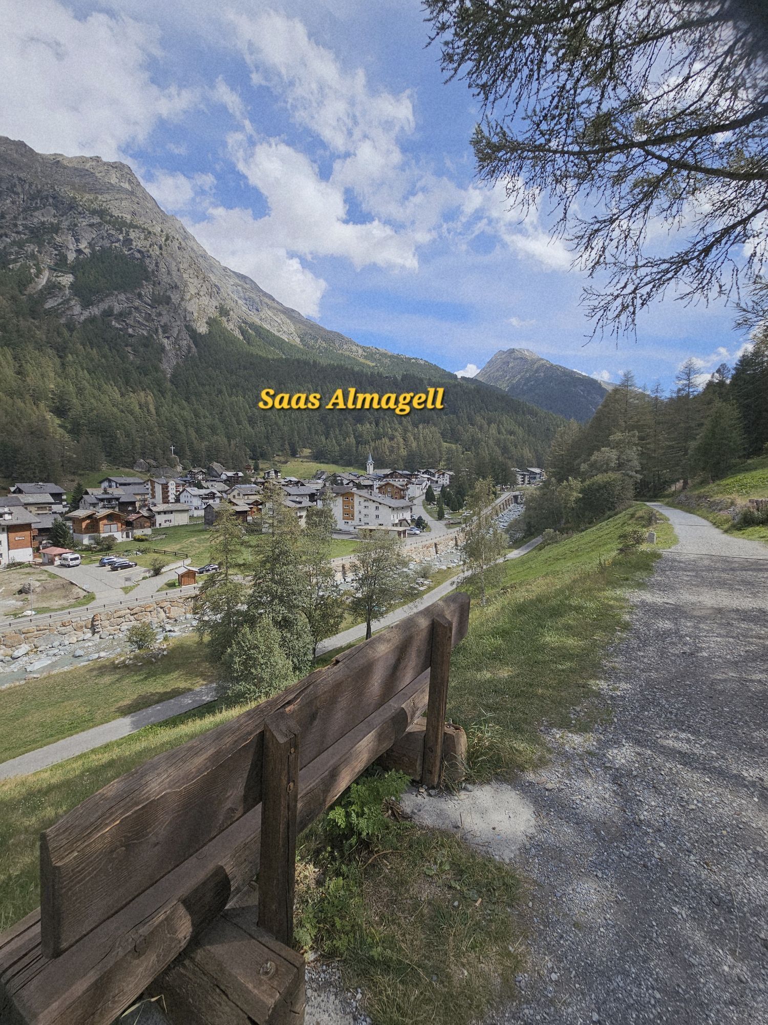
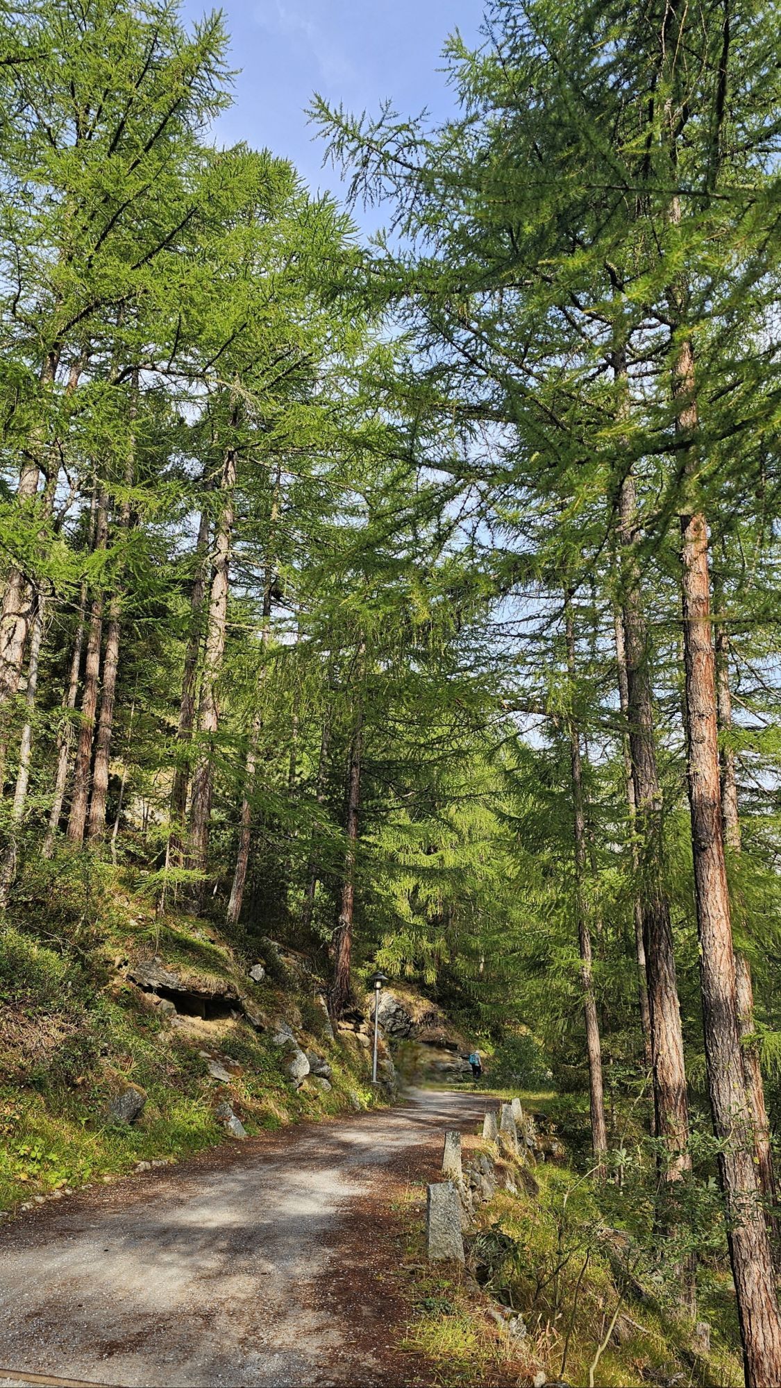
From the Almagelleralp the route leads downhill and through the larch forest down to Saas-Almagell. Across the Saaser Vispa it goes downhill back to the starting point at Saas-Grund.
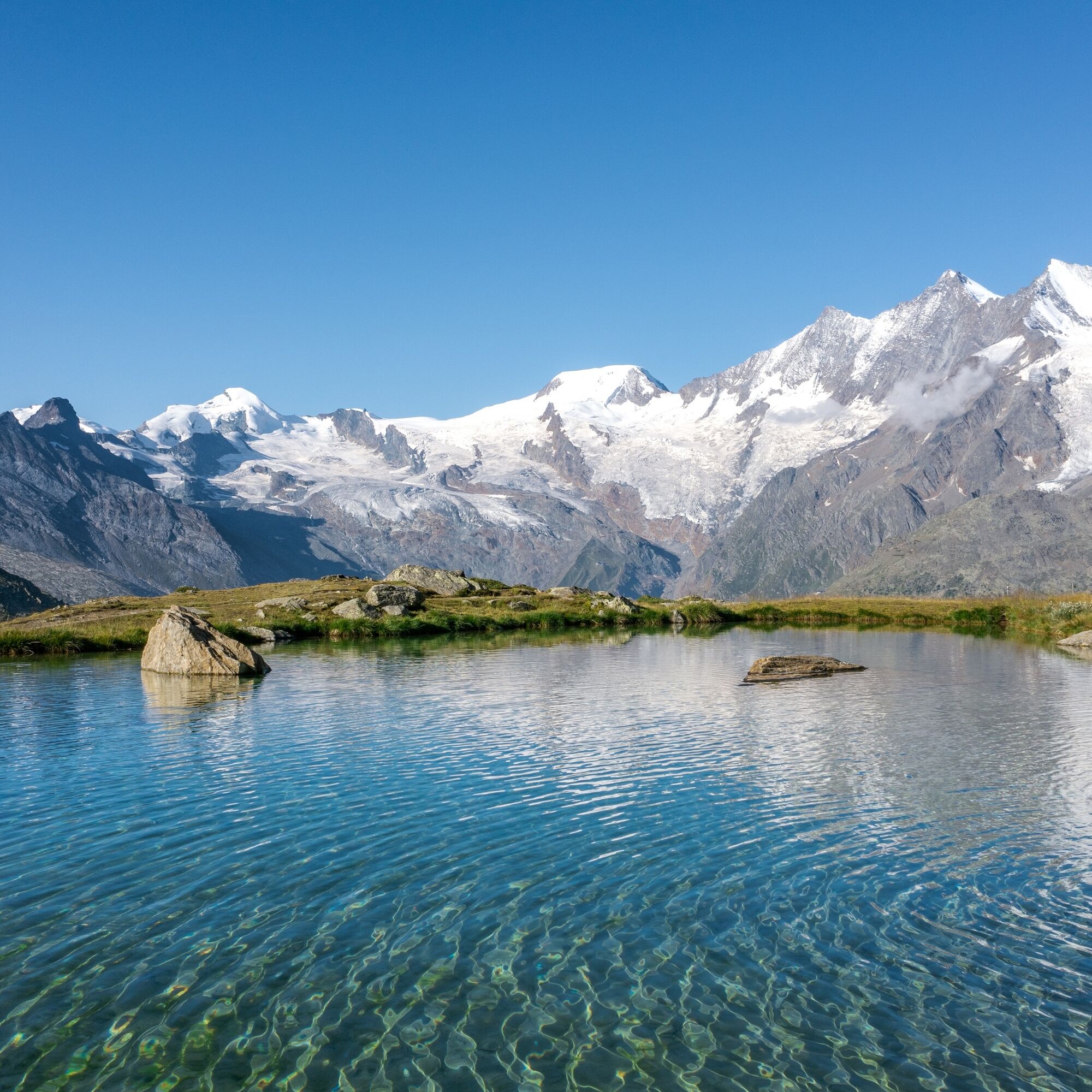
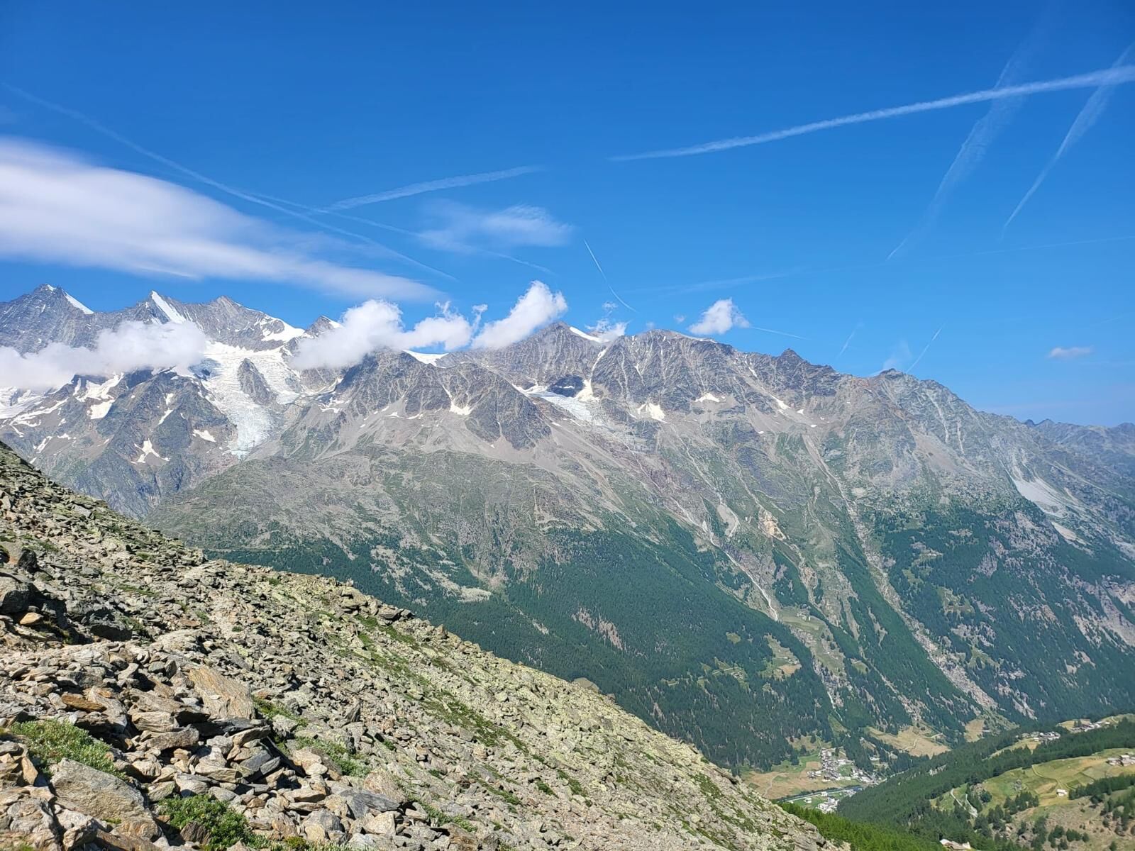
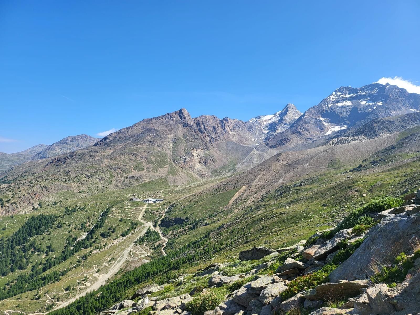
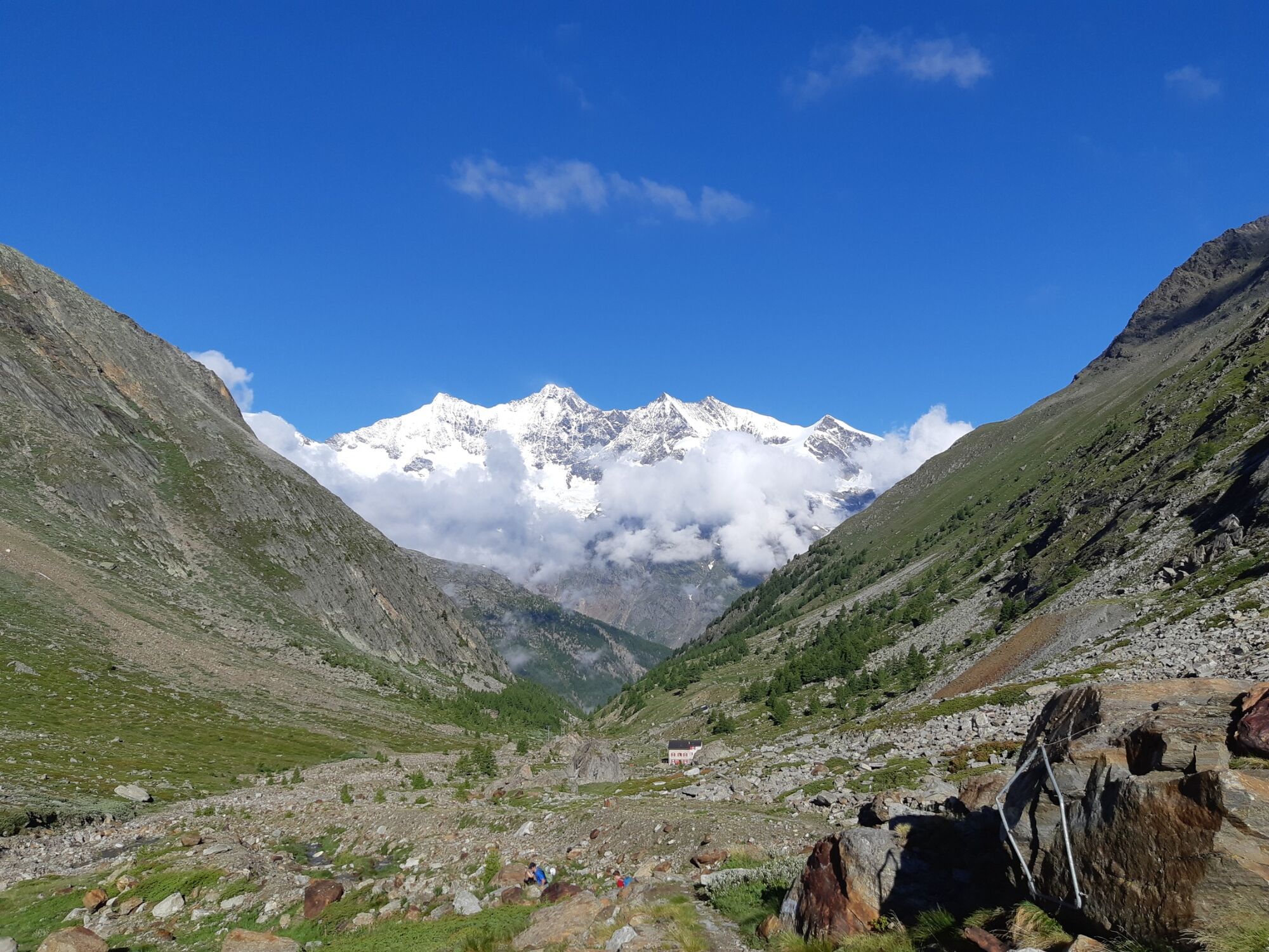

Saas-Grund - Bodme - Tewald - Intermediate station Trift - Hannig - Kreuzboden - Almagelleralp - Saas-Almagell - Saas-Grund
Trail running shoes
Outdoor clothing: always carry a waterproof jacket
Sun protection
Fluids and food
Poles
Navigation tool
First aid kit
Use of the hiking trails and the information on this website is at your own risk. Conditions on site may lead to changes in the route.
Use only marked trail paths and observe all signposts and instructions—for your own safety, to protect grazing animals, and out of respect for wildlife. Close gates again after passing through. Behave considerately towards other trail users, plants, and animals. Take additional sun protection. UV rays at high altitudes can be very strong, even in cloudy weather. Plan your trail carefully: consider the necessary fitness level of all participants, weather forecasts, and seasonal factors. Weather conditions in the mountains can change very quickly and without warning. Appropriate clothing and provisions (food and drink) are very important. In bad weather, better turn back early. Inform others about your trail route and, if possible, do not go alone. Observe warning signs indicating dangers at riverbanks, along watercourses below dams and reservoirs: water levels can rise quickly and without warning.The Saas Valley is easily and conveniently accessible by car from all directions, whether from Switzerland or abroad. From the north you reach us via Bern through the Lötschberg car shuttle. From the east you come via the Furka Pass or the Furka car shuttle. From the south we are accessible via the Simplon Pass or the Simplon car shuttle, and from the west you drive via Lausanne along the Rhone Valley to Visp and from there towards Saas-Fee.
From Visp you drive south towards Saas-Fee. At the "Killerhof" roundabout near Stalden, take the second exit to Saas-Fee and follow the main road to Saas-Grund.
Take the SBB to Visp and change there to the post bus towards Saas-Fee (Bus 511). Get off at Saas-Grund at the Bergbahnen stop.
Parking spaces are available at the valley station of the Hohsaas cable cars.
T2
Saastal Tourism AG
Obere Dorfstrasse 2
3906 Saas-Fee
Tel.: +41 27 958 18 58
Email: info@saas-fee.ch
www.saas-fee.ch
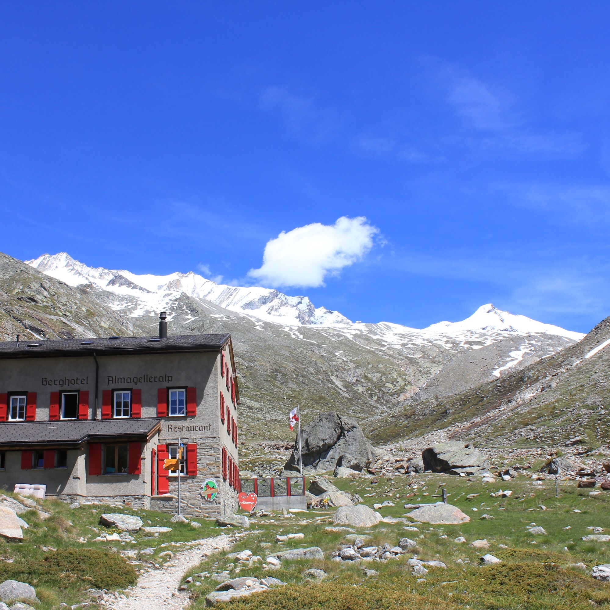
Berghotel Almagelleralp
Anthamatten Urs
3905 Saas-Almagell
Tel.: +41 79 613 79 85
Email: info@almagelleralp.ch
www.almagelleralp.ch
Attention: The Höhenweg is very popular among hikers and you must expect oncoming traffic.
The Almagelleralp invites you to a short rest.

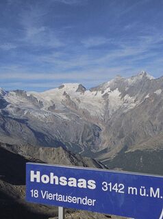
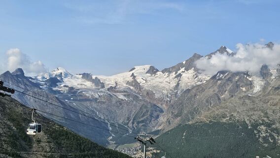
Webové kamery z prehliadky



Obľúbené výlety v okolí
-
4,9
Allalinhorn vom Mittelallalin über Normalweg
strednáVysoké turné 6,15 km -
3,6
Höhenweg Kreuzboden - Almagelleralp - Saas-Almagell
Turistika 9,74 km -
3,3
Europaweg Grächen - Europahütte - Zermatt
ťažkéTuristika 39,9 km -
3,5
Waldweg Saas-Fee - Saas-Almagell
Turistika 2,83 km -
4,7
Weissmies Südgrat von Saas Almagell
strednáVysoké turné 20,5 km -
5,0
Via ferrata Jägihorn
ťažkéVia ferrata 6,14 km -
4,8
Marmot mountain path Spielboden
strednáTuristika 3,89 km -
3,8
Höhenweg Saas-Fee - Grächen
Turistika 12,0 km -
4,5
Ibex path
strednáTuristika 9,02 km -
4,6
Gspon high-altitude route
strednáTuristika 13,9 km
Turistika a stopovanie


Nenechajte si ujsť ponuky a inšpiráciu na ďalšiu dovolenku
Vaša e-mailová adresa bol pridaný do poštového zoznamu.


