







Äusser Rothorn
Úroveň náročnosti: T4
Those who want to climb Äusser Rothorn have several options: From Saas-Balen it is reachable on foot in about 4 hours. Those who drive to the following starting points by car can shorten the ascent: From...
Those who want to climb Äusser Rothorn have several options: From Saas-Balen it is reachable on foot in about 4 hours. Those who drive to the following starting points by car can shorten the ascent: From Heimischgarte it takes about 3 hours, from Grüebe about 2 hours. Note that this is a narrow mountain road.
Shorter sections are secured with steel cables. These can be tackled using via ferrata techniques. A good physical condition, sure-footedness and a head for heights are required for the via ferrata. Alpine equipment is necessary. The right equipment not only brings more fun but also more safety.
Note:
To use the alpine hiking trails, you should have good sure-footedness, a head for heights and physical fitness. You should also master the use of ropes and ice axes. Managing climbing sections with the help of hands should also be among your skills, and you must be familiar with the dangers in the mountains.
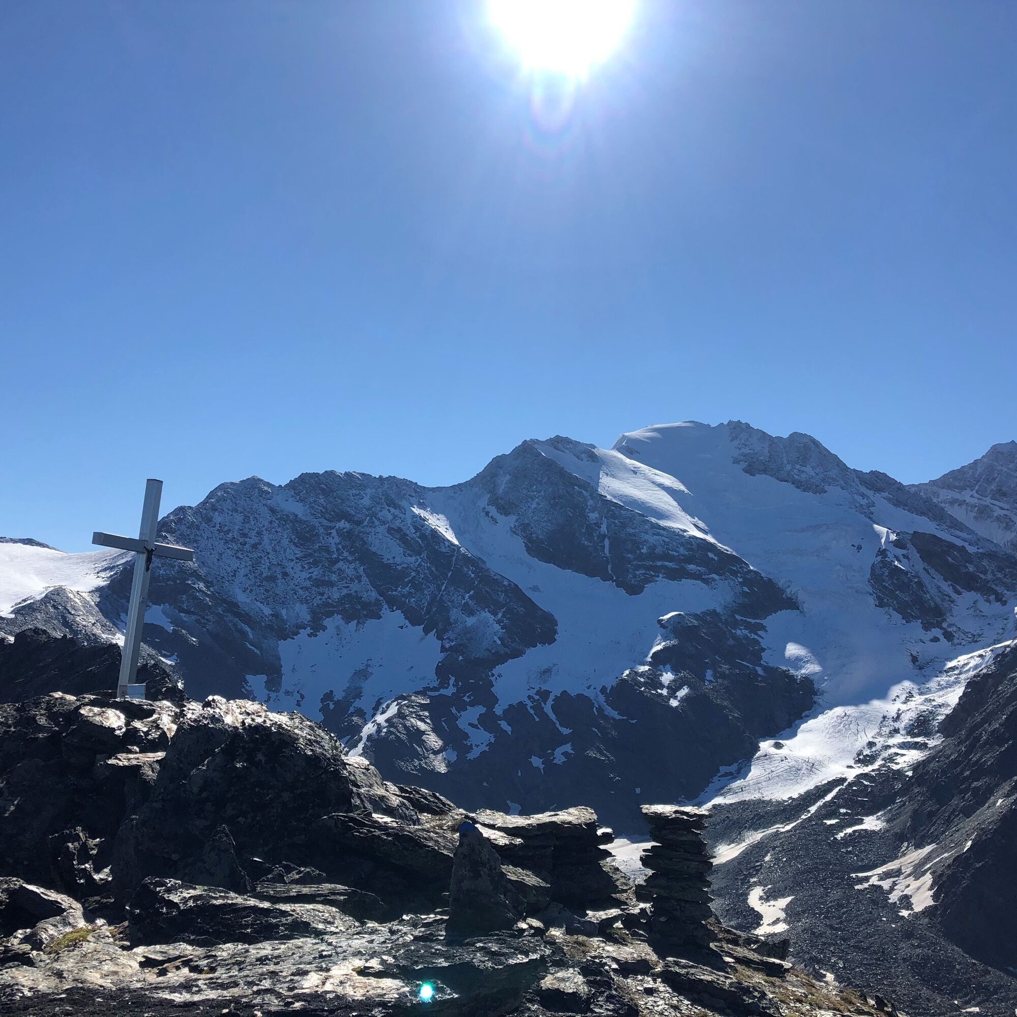
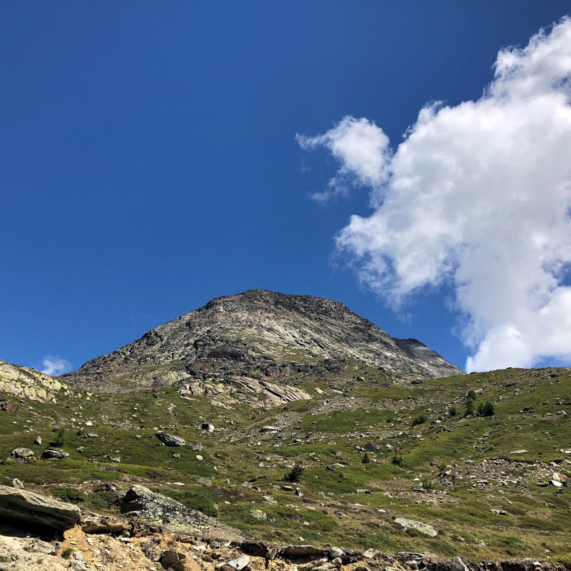
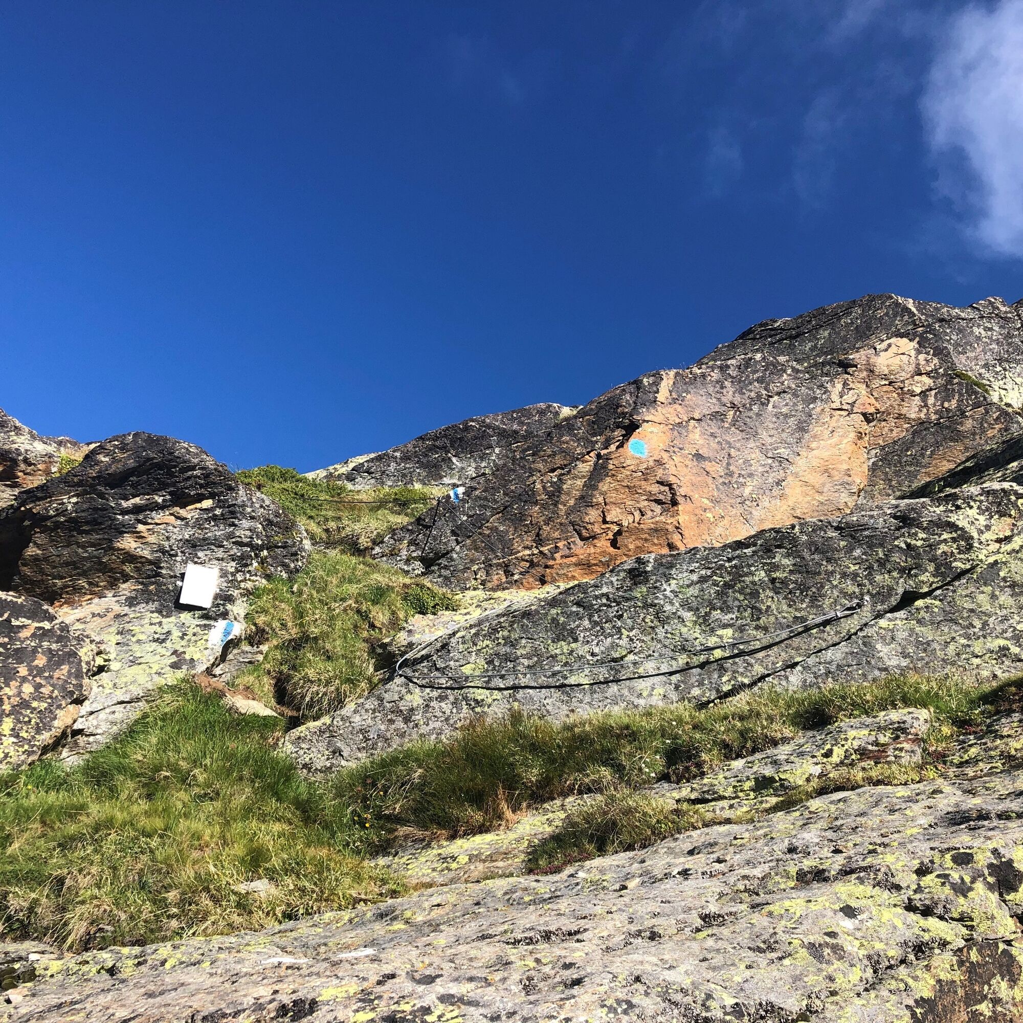
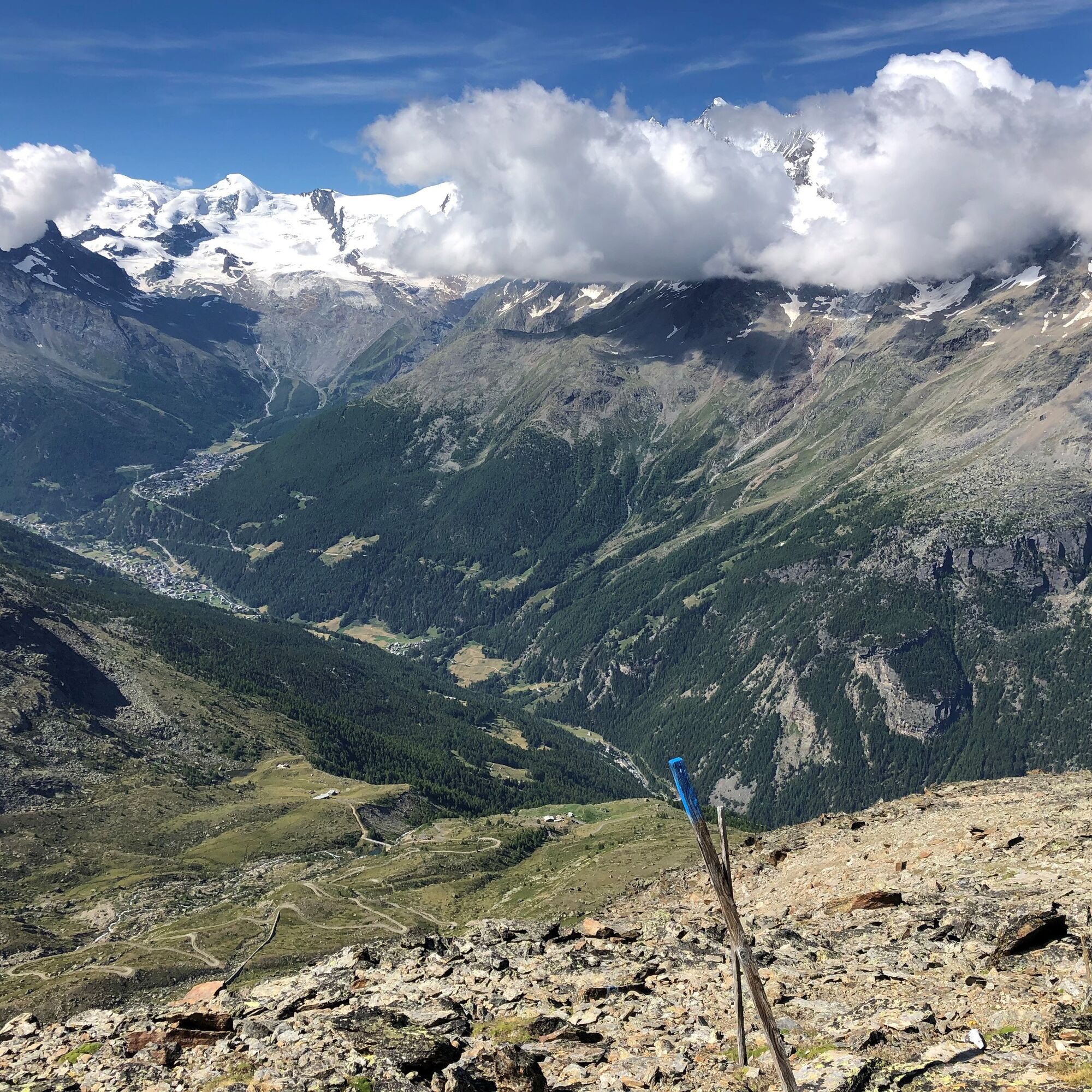
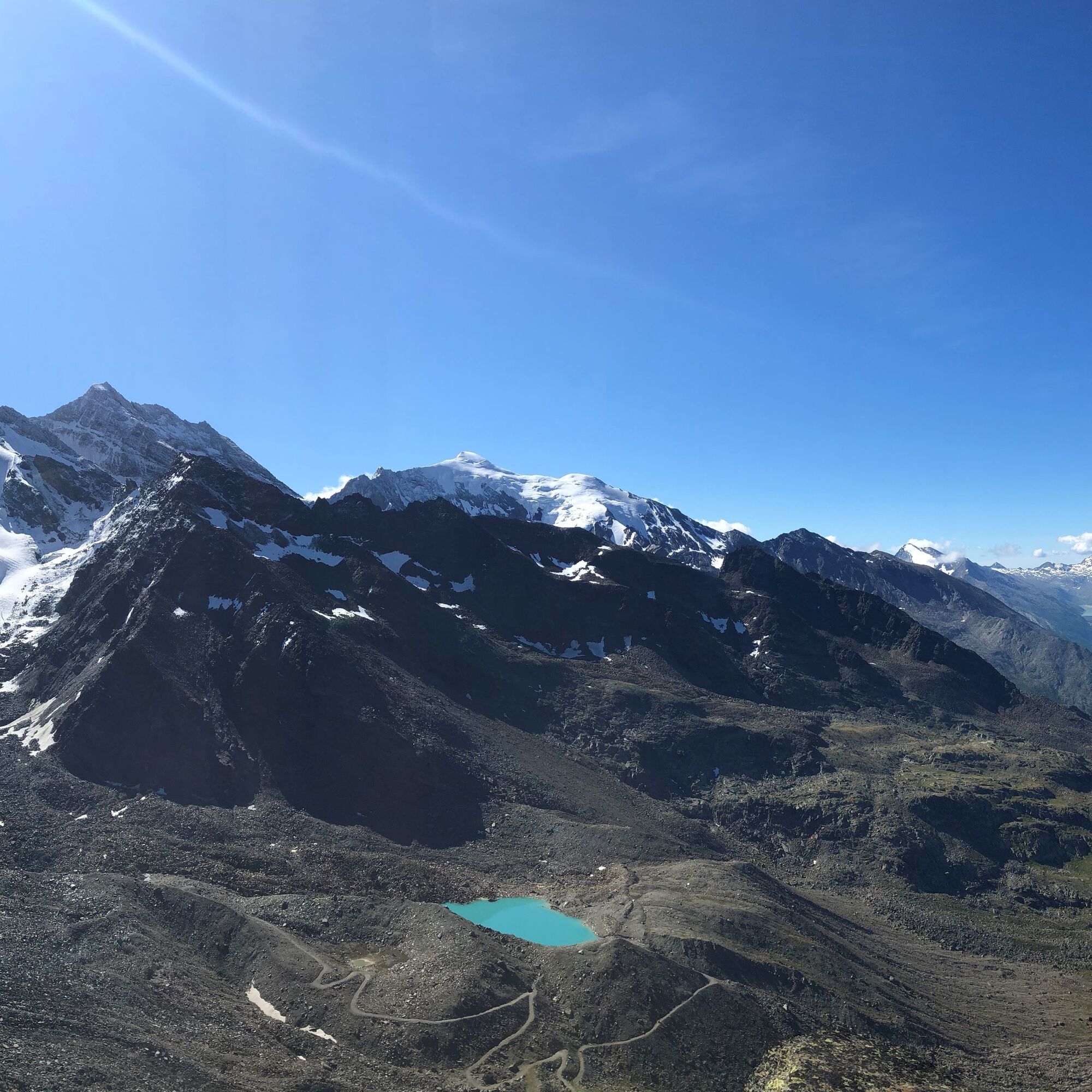
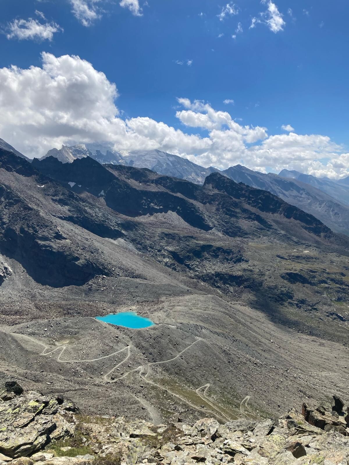

Grubenalp - Äusser Rothorn - Grubenalp
Áno
Good footwear
Outdoor clothing: Always carry a waterproof jacket
Sun protection
Fluids and refreshments
Hiking poles (optional)
Navigation tool
First aid kit
Use of the hiking trails and information on this website is at your own risk. Conditions on site may result in changes to the route.
Use only marked hiking trails and follow all signs and instructions – for your own safety, for the protection of livestock and without disturbing the peace of wild animals.
Be considerate of other trail users and the landscape. Take your own waste and that of others with you.
Carry sun protection. UV rays at high altitude can be very strong, even in cloudy weather.
Plan your hike carefully: take into account the required fitness of all participants, weather forecasts and seasonal dependencies.
The weather conditions in the mountains can change very quickly and without warning. Appropriate clothing and sufficient provisions (food and drink) are very important. Turn back early in bad weather.
Do not go on glaciers without a mountain guide.
Observe warning signals that indicate dangers.
Inform third parties about your route and never go alone if possible.
Observe the opening times of the mountain railways.
The Saas valley is easily and comfortably accessible by car from all directions, whether from Switzerland or abroad. From the north you reach us via Bern through the Lötschberg car shuttle. From the east you come via the Furka pass or the Furka car shuttle. From the south we are accessible via the Simplon pass or the Simplon car shuttle and from the west you drive via Lausanne along the Rhone valley to Visp and from there towards Saas-Fee. From Visp you drive south towards Saas-Fee. At the "Killerhof" roundabout to Stalden, take the second exit towards Saas-Fee and follow the main road to Saas-Balen.
To get to Grubenalp follow the Flurstrasse in the direction of Heimischgarte. The road requires a fee. Tickets can be purchased at the parking ticket machine in Saas-Balen.
Take the SBB to Visp and change there to the post bus to Saas-Fee (Bus 511). Get off at the Saas-Balen stop Dorf.
After the bridge, the public parking lot of Saas-Balen is on the right.
T4
Saastal Tourismus AG
Obere Dorfstrasse 2
3906 Saas-Fee
Tel.: +41 (0)27 958 18 58
Email: info@saas-fee.ch
www.saas-fee.ch
SAC Saas
Email: info@sac-saas.ch
sac-saas.ch/aeusser-rothorn/
Difficulty T4, very difficult. Some sections with cable protection. Via ferrata set is advantageous.
Získajte prehľad
Vždy naživo na mieste s viac ako 9 500 webovými kamerami. bergfex Ako používateľ Pro si teraz môžete pozrieť príslušné webové kamery pre mnohé zájazdy v aplikácii zájazdy z. Môžete si tak priamo prezerať aktuálne podmienky.
Obľúbené výlety v okolí
-
4,9
Allalinhorn vom Mittelallalin über Normalweg
strednáVysoké turné 6,15 km -
3,3
Europaweg Grächen - Europahütte - Zermatt
ťažkéTuristika 39,9 km -
3,6
Höhenweg Kreuzboden - Almagelleralp - Saas-Almagell
Turistika 9,74 km -
3,5
Waldweg Saas-Fee - Saas-Almagell
Turistika 2,83 km -
5,0
Moosalp Panoramaweg
svetloTuristika 6,36 km -
3,8
Höhenweg Saas-Fee - Grächen
Turistika 12,0 km -
5,0
Weissmies Südgrat von Saas Almagell
strednáVysoké turné 20,5 km -
5,0
Marmot mountain path Spielboden
strednáTuristika 3,89 km -
5,0
Via ferrata Jägihorn
ťažkéVia ferrata 6,14 km -
4,6
Gspon high-altitude route
strednáTuristika 13,9 km
Turistika a stopovanie


Nenechajte si ujsť ponuky a inšpiráciu na ďalšiu dovolenku
Vaša e-mailová adresa bol pridaný do poštového zoznamu.





