







Above the Mattmark lake
Úroveň náročnosti: T2
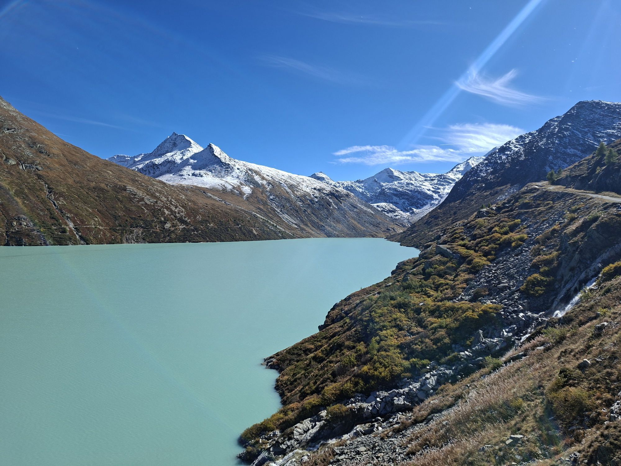
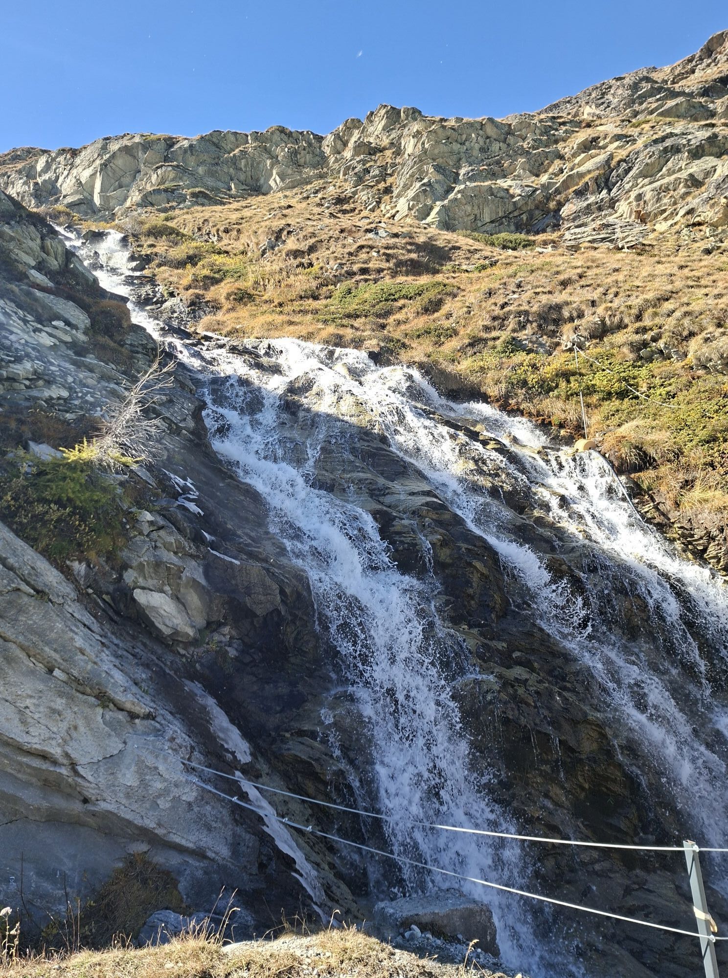
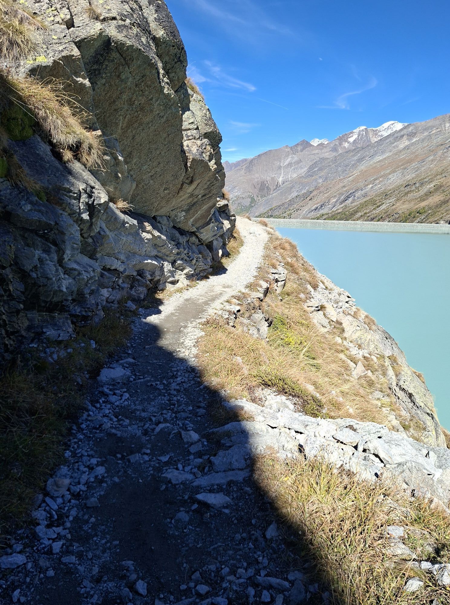
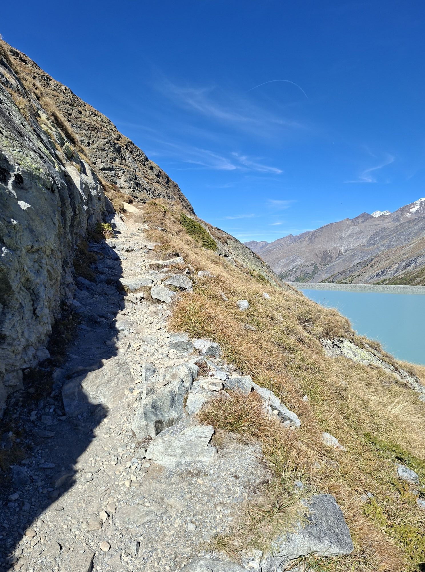
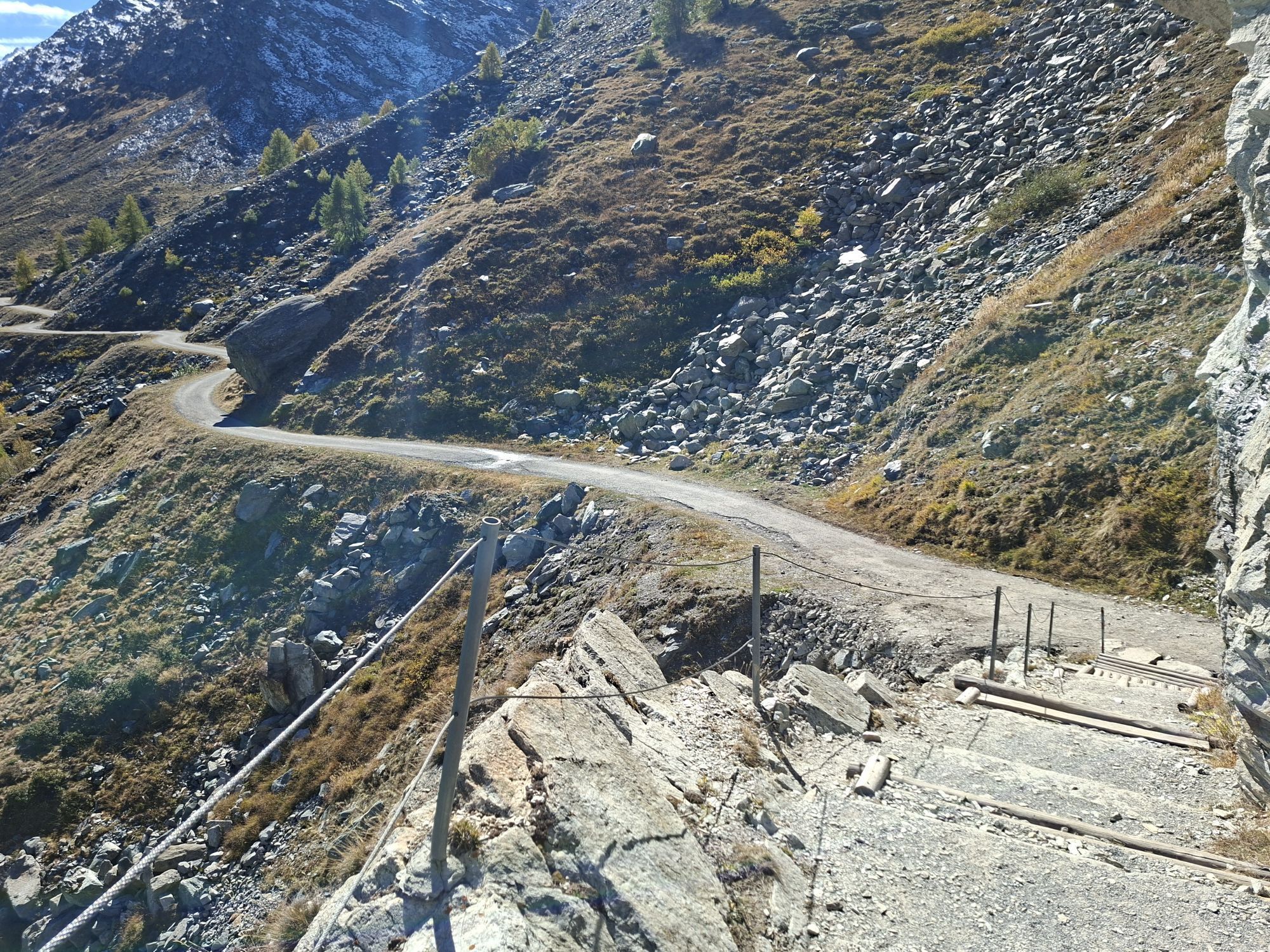
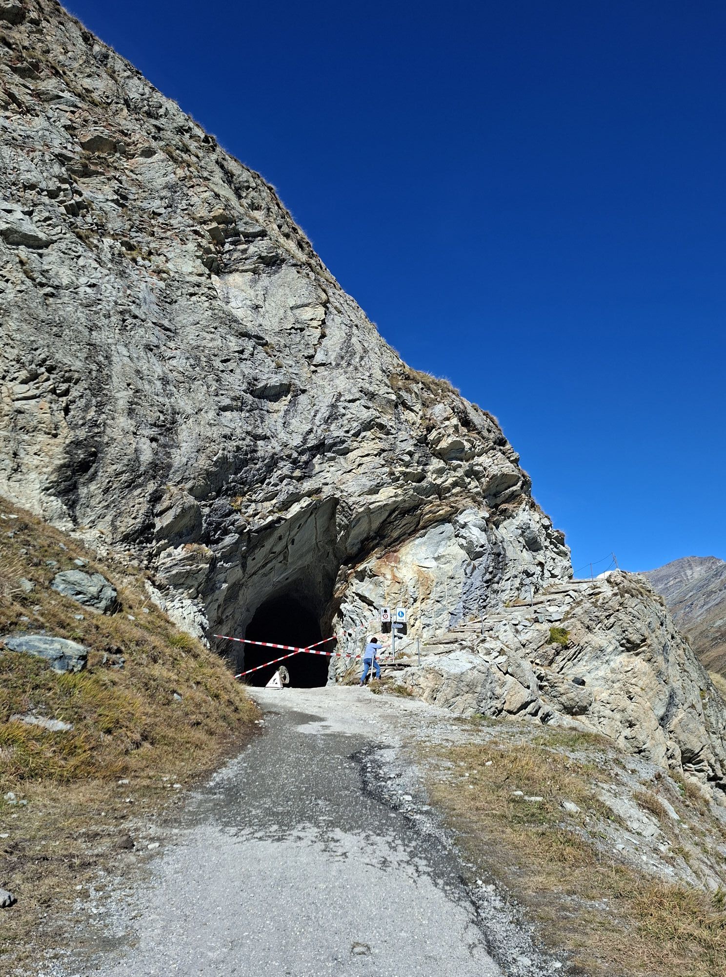
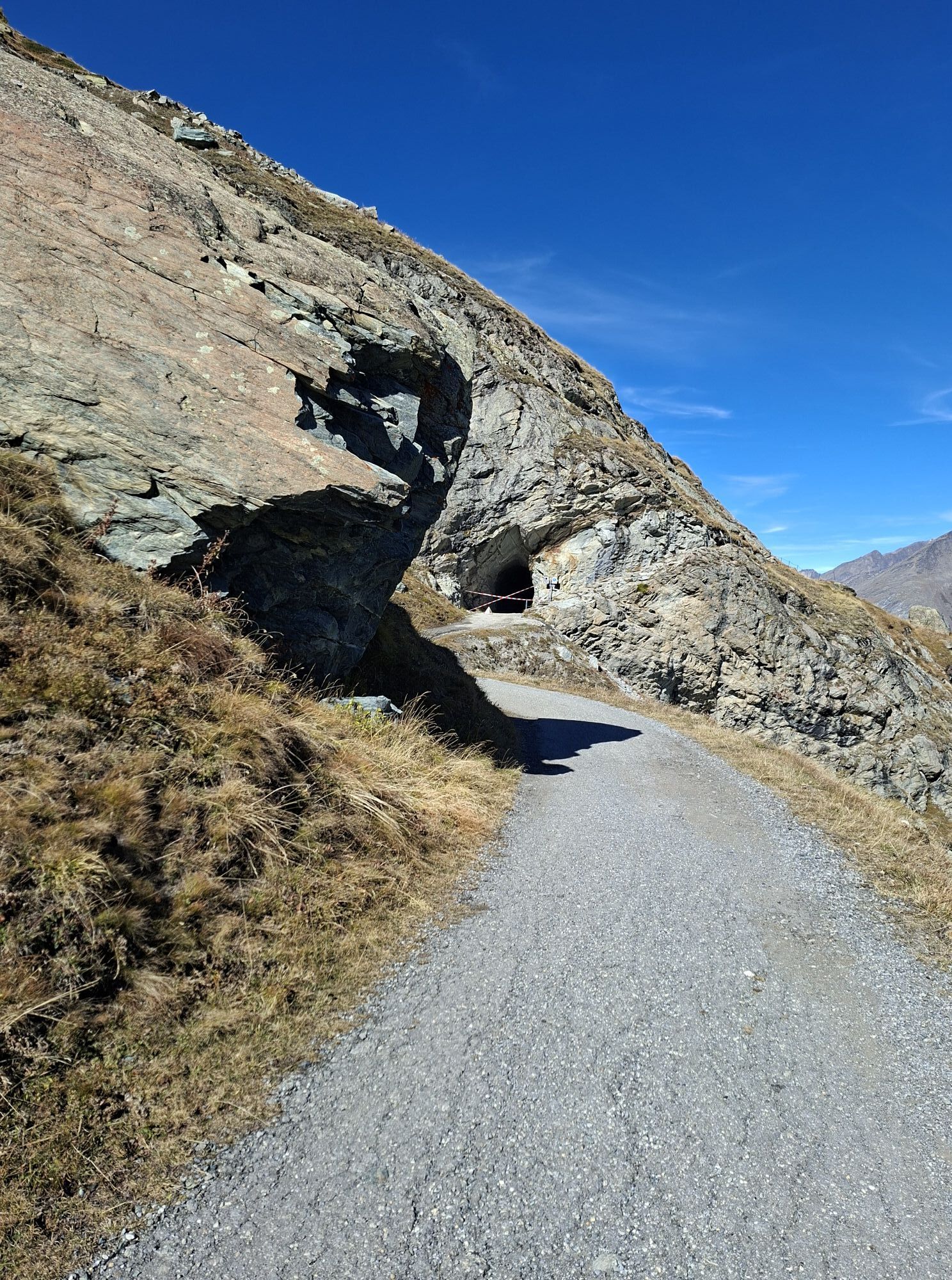
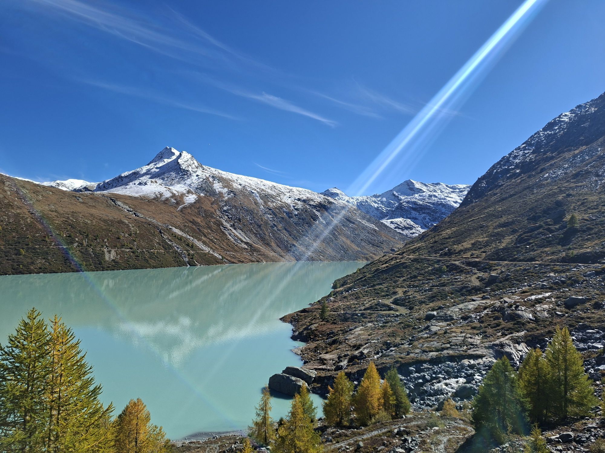
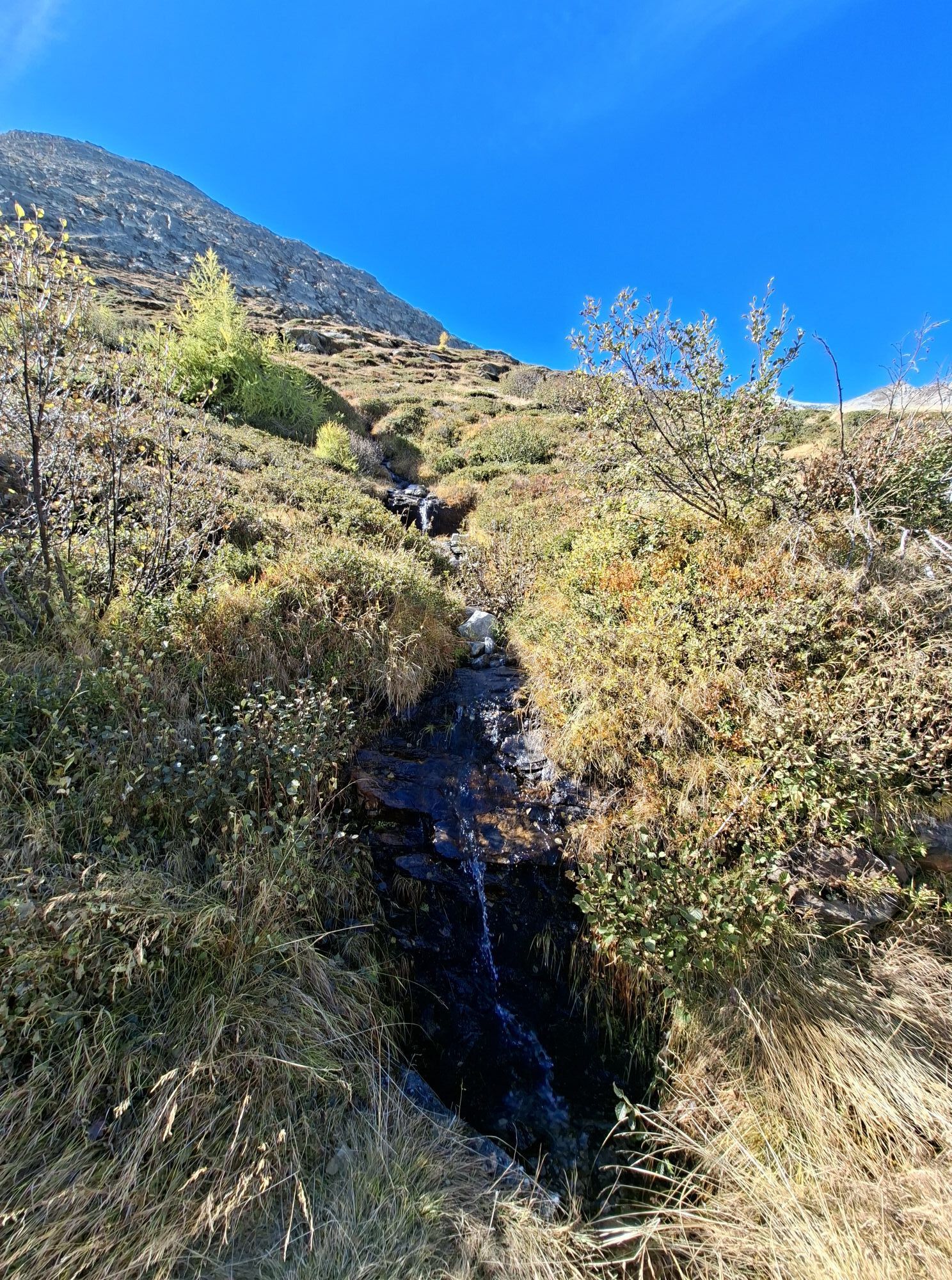
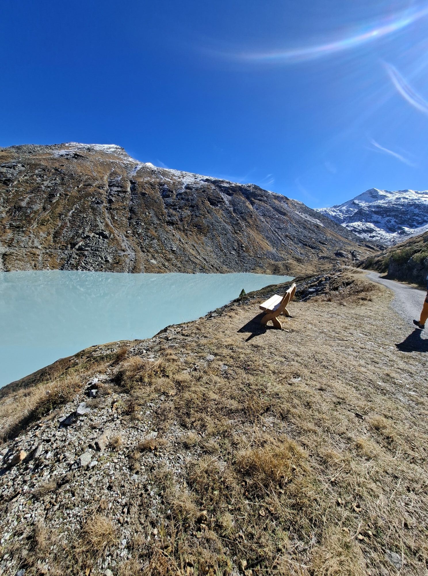
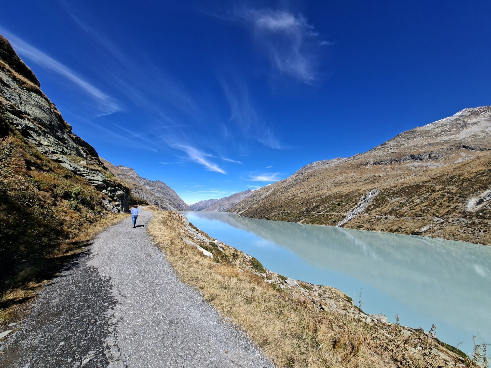
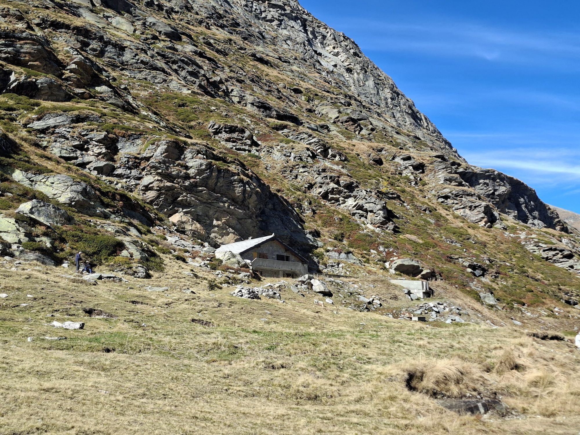
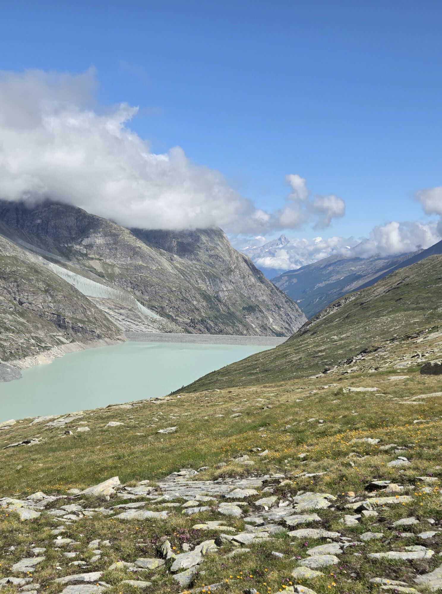
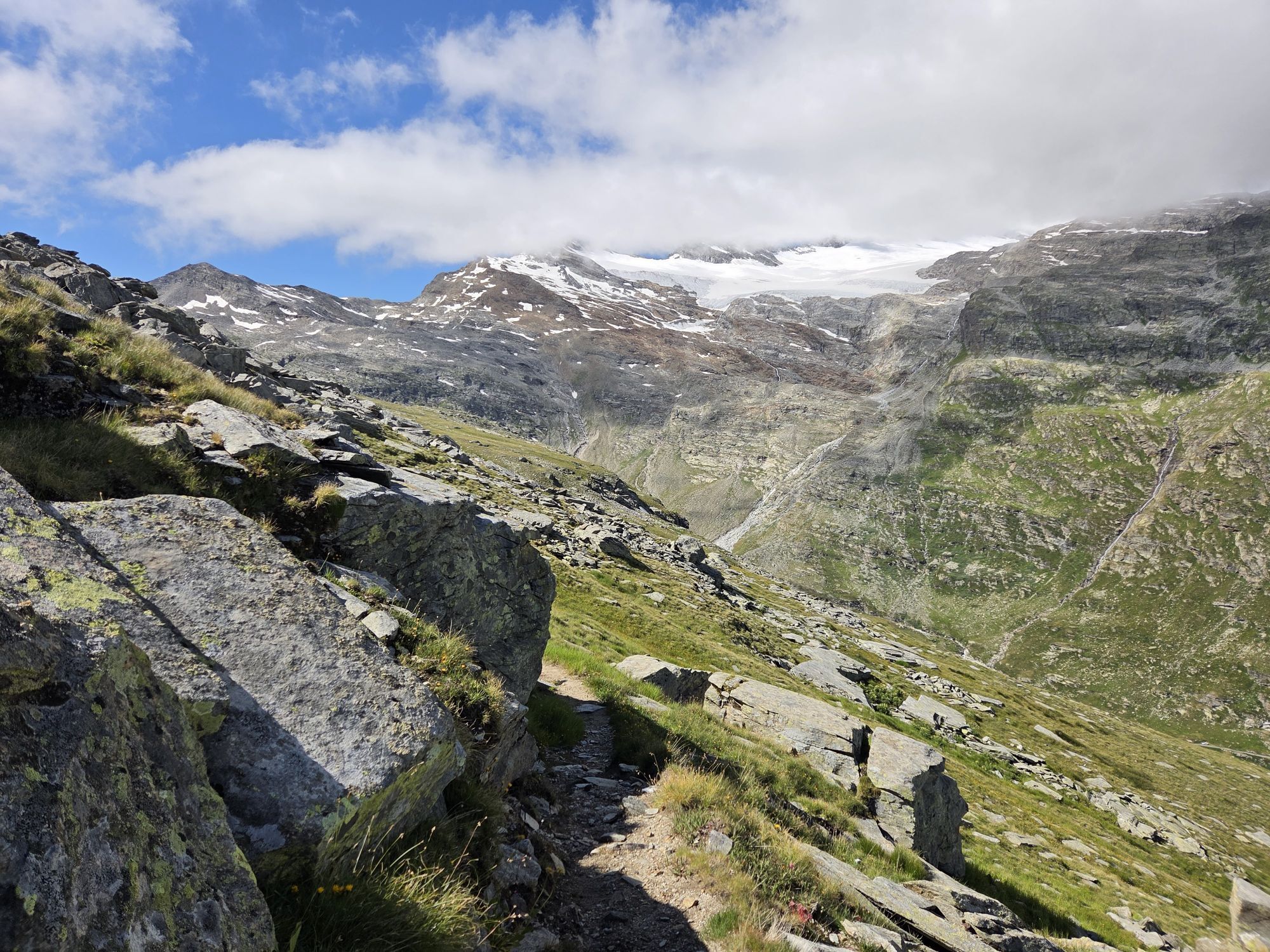
The path begins at Restaurant Mattmark and leads over the Distelalp and the historic pass route towards Monte Moro. After the first two larger ascents, the valley opens into the so-called "Tälliboden,"...
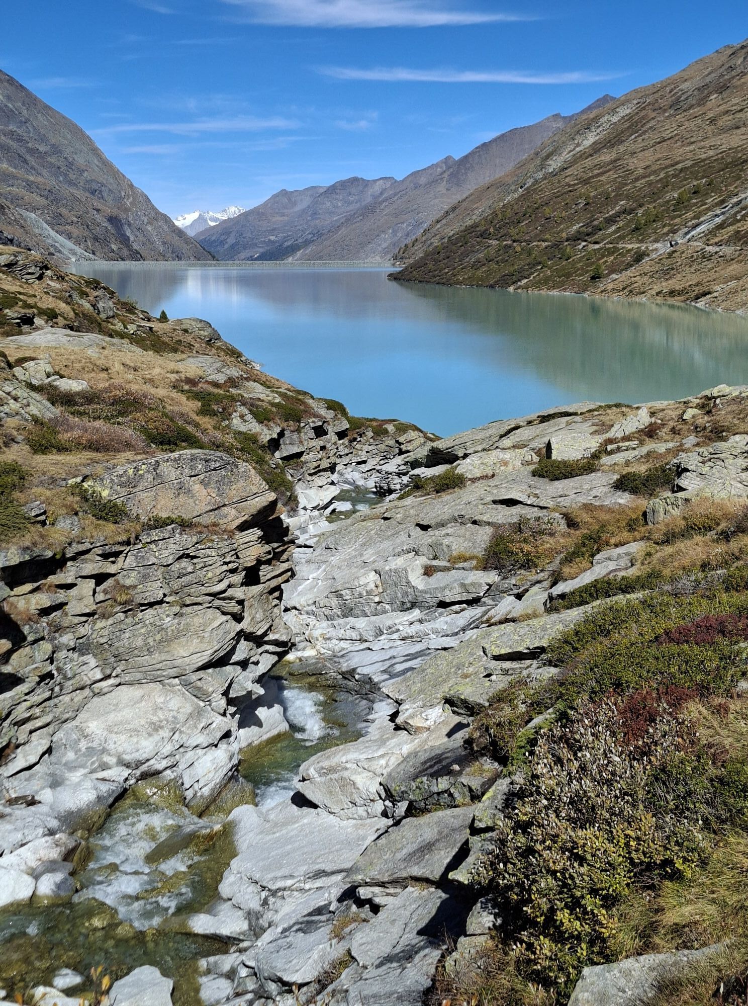
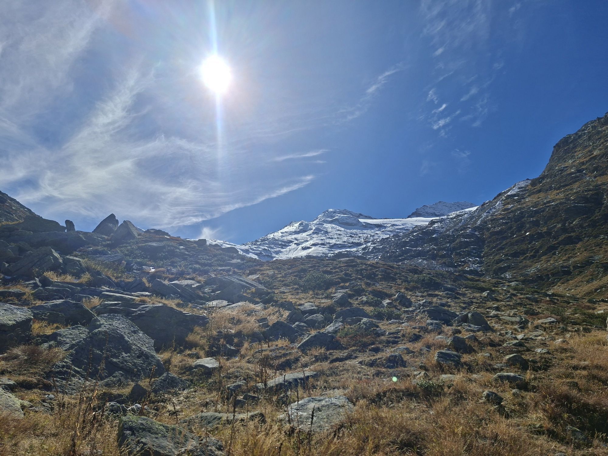
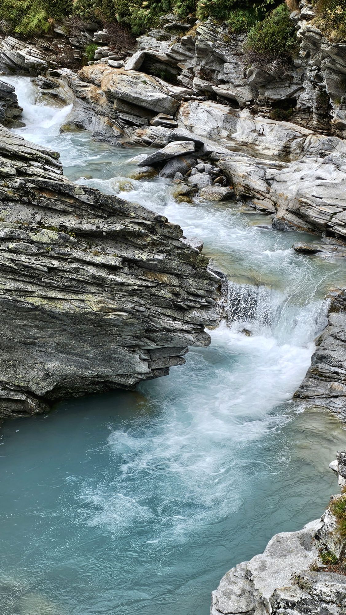
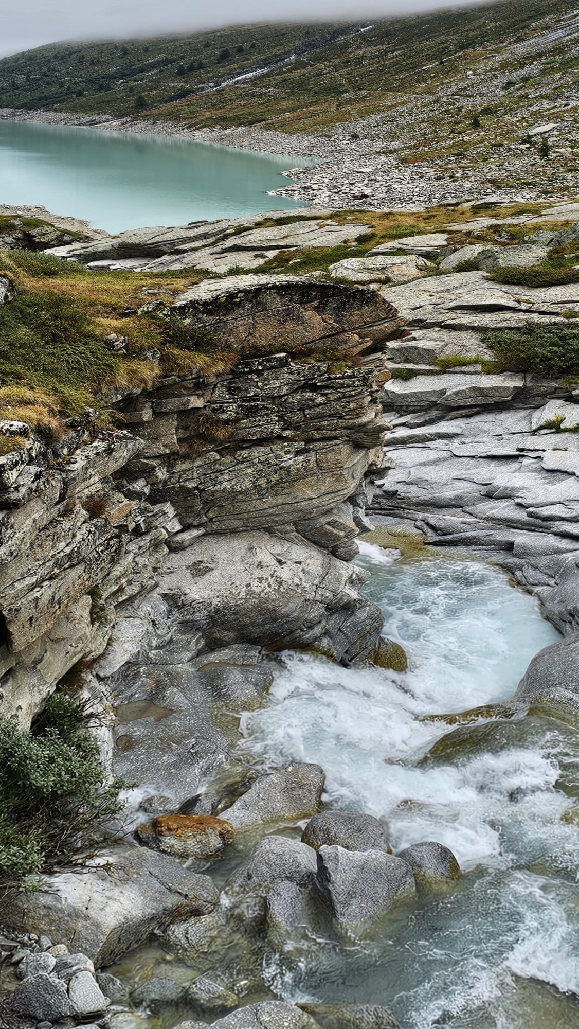
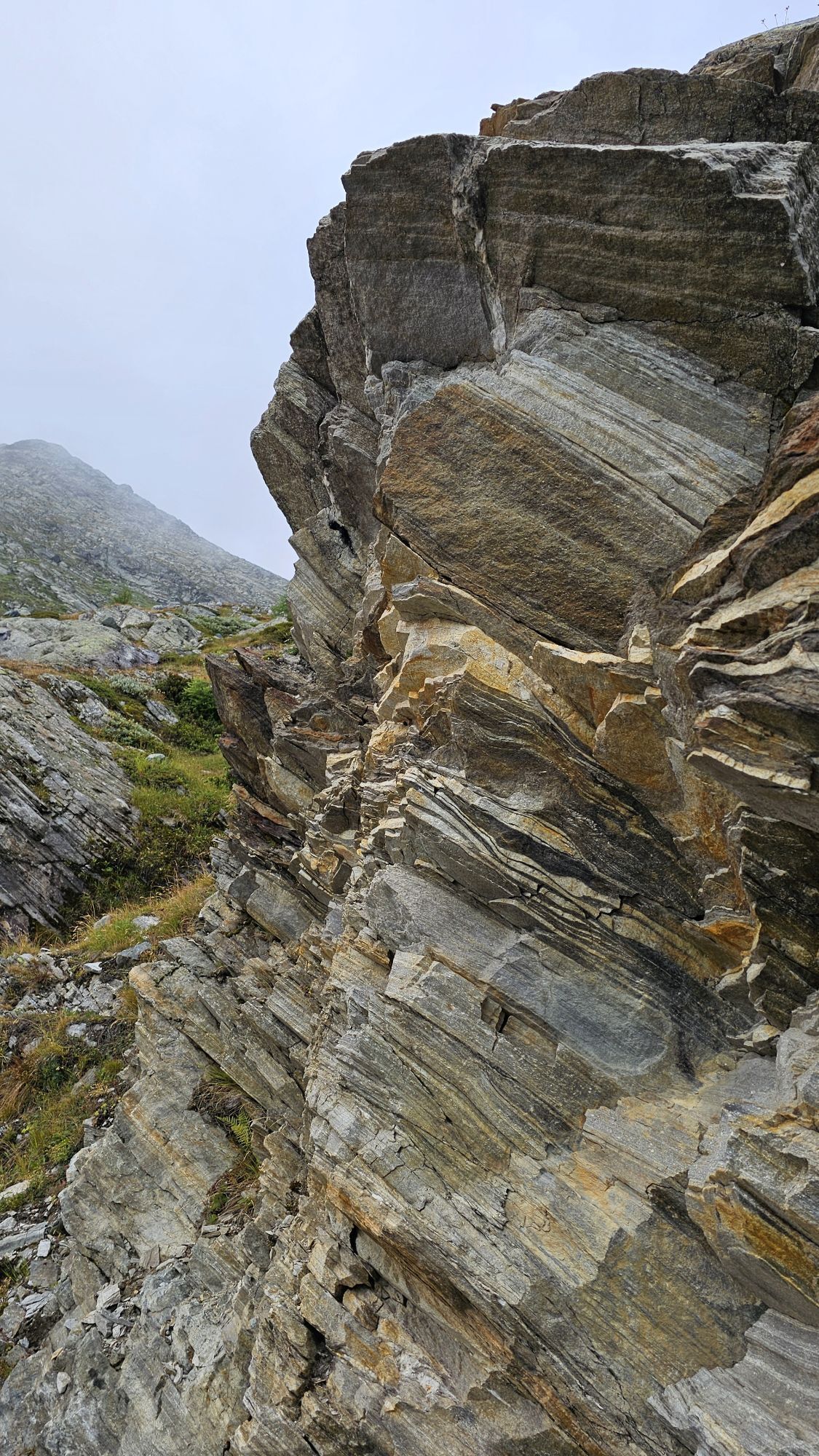
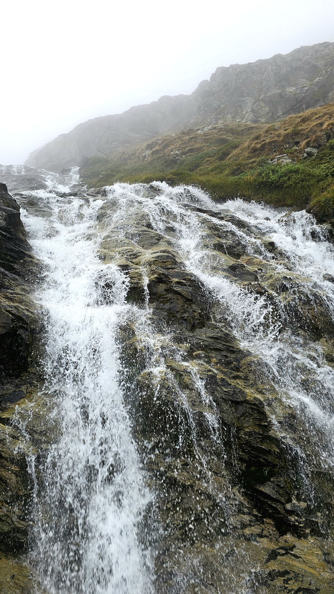
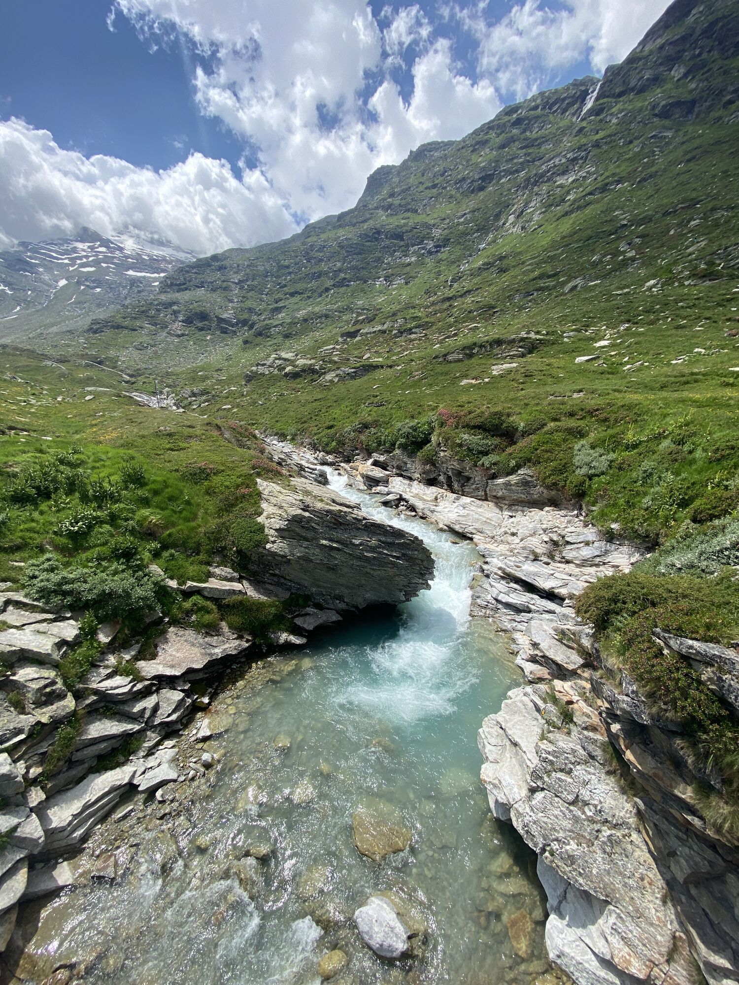
The path begins at Restaurant Mattmark and leads over the Distelalp and the historic pass route towards Monte Moro. After the first two larger ascents, the valley opens into the so-called "Tälliboden," shaped by the stream and the rough basin. At the crossroads in the front part of the Tälliboden, the path turns left and follows the rock face downstream. This rock passage rounds the Galmenhorn and leads the hiker into the wild romantic Ofental. This valley seems barely touched by human hands. Apart from the wind and the babbling mountain stream, you hear only yourself. Nothing else but alpine silence.
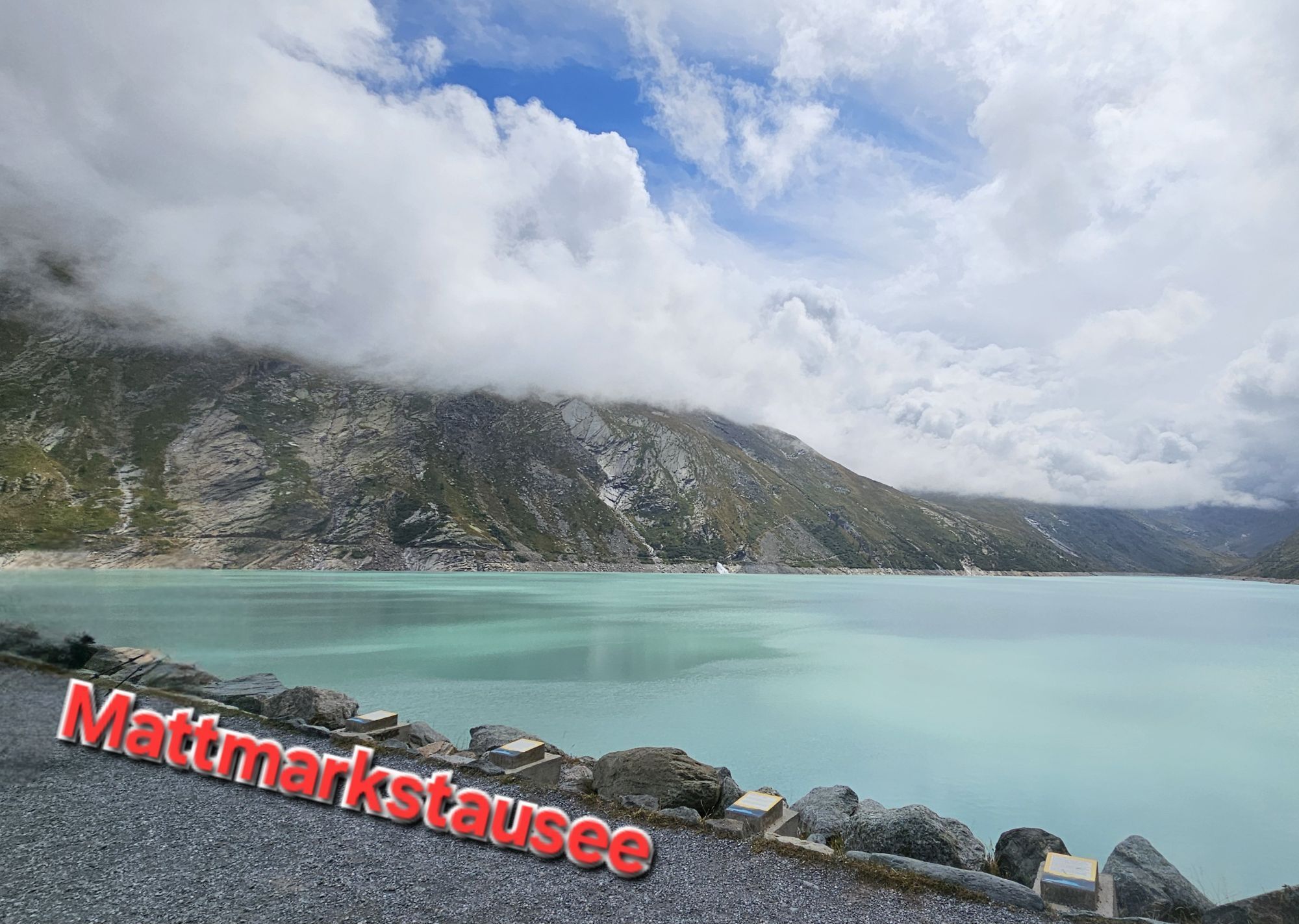
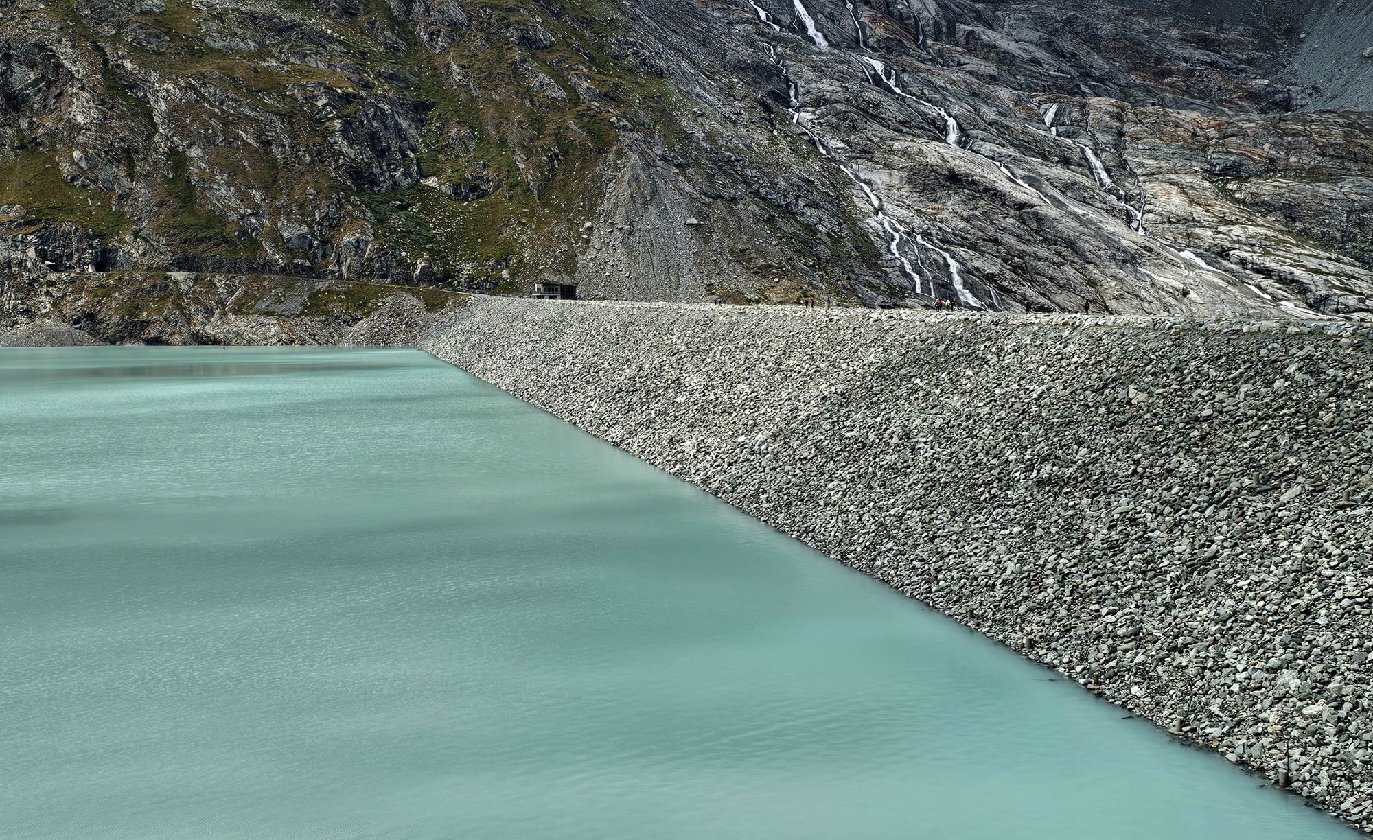
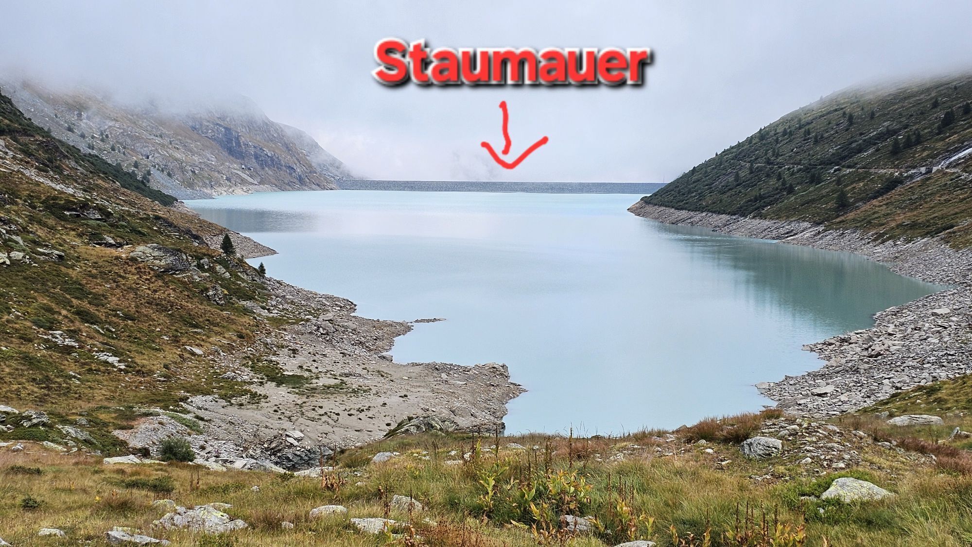
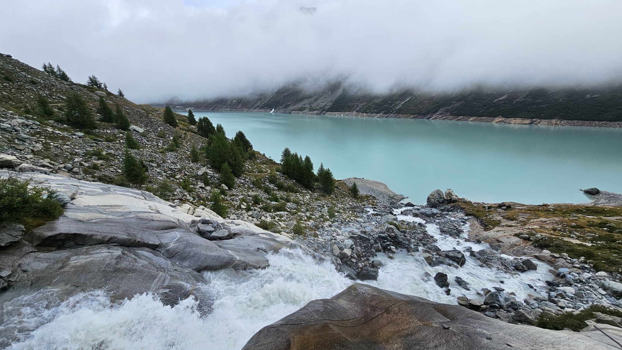
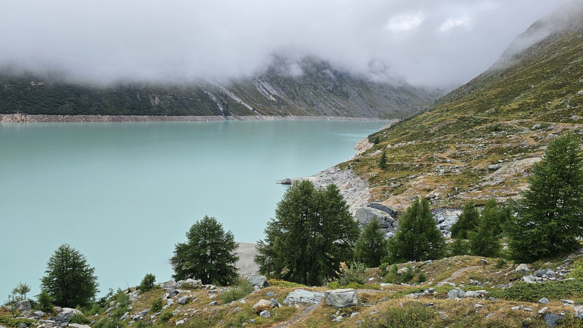
After crossing the stream, you go over the alpine mountain meadows downstream. With a view of the Mattmark lake, the path zigzags down the slope of the Stellihorn. Finally, the dam crest is crossed. Information panels tell the history of the Mattmark.
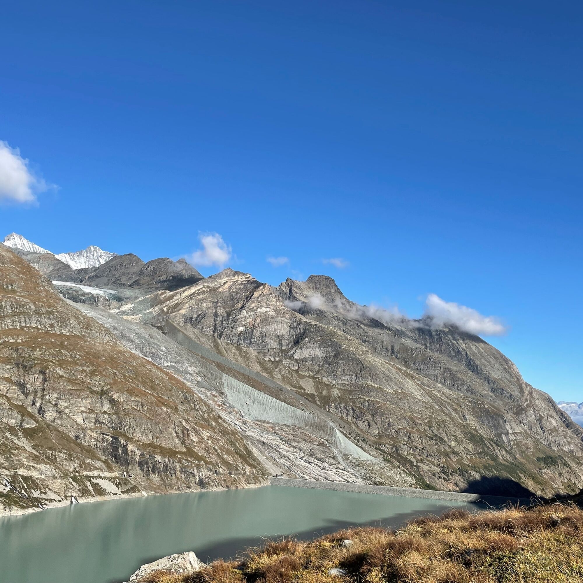
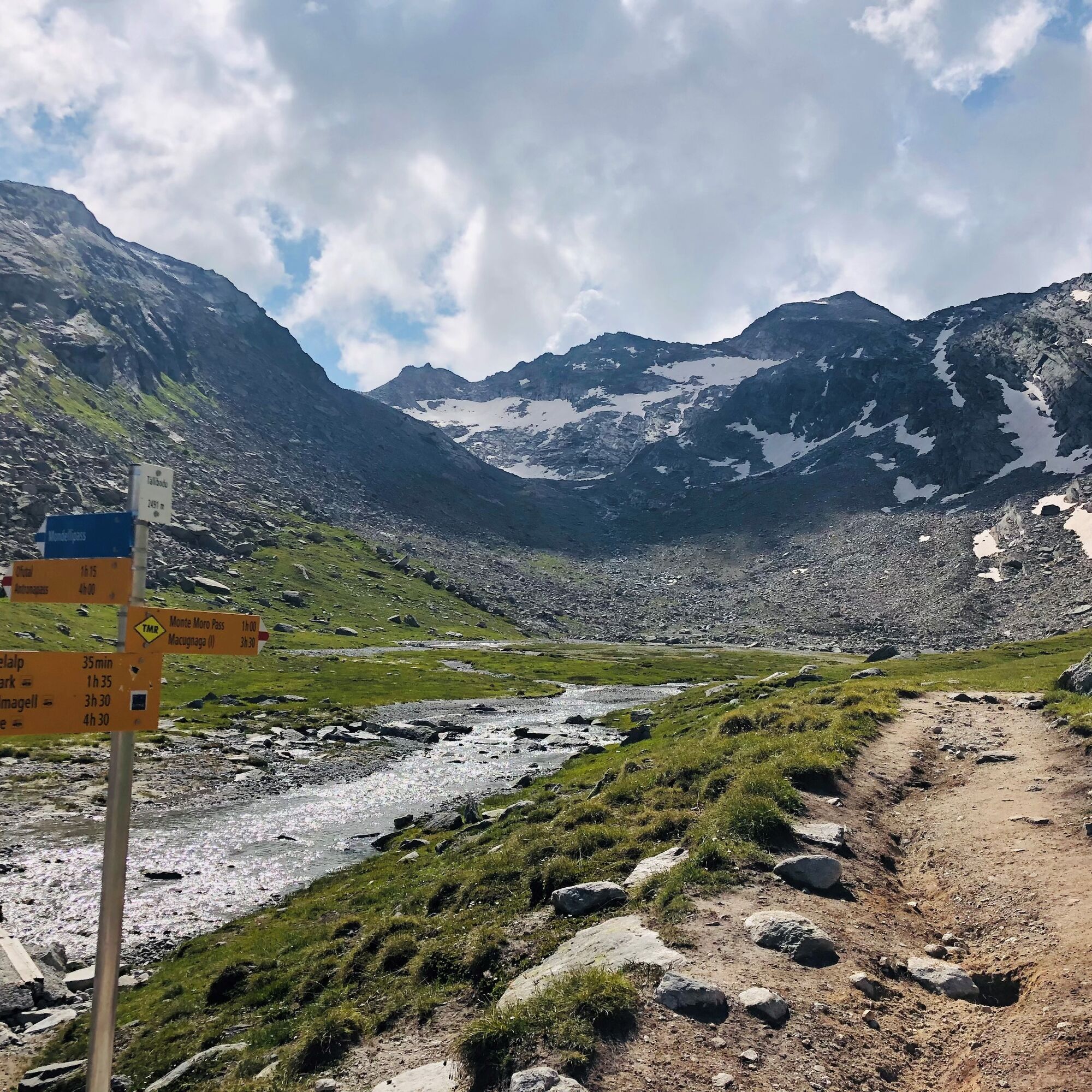
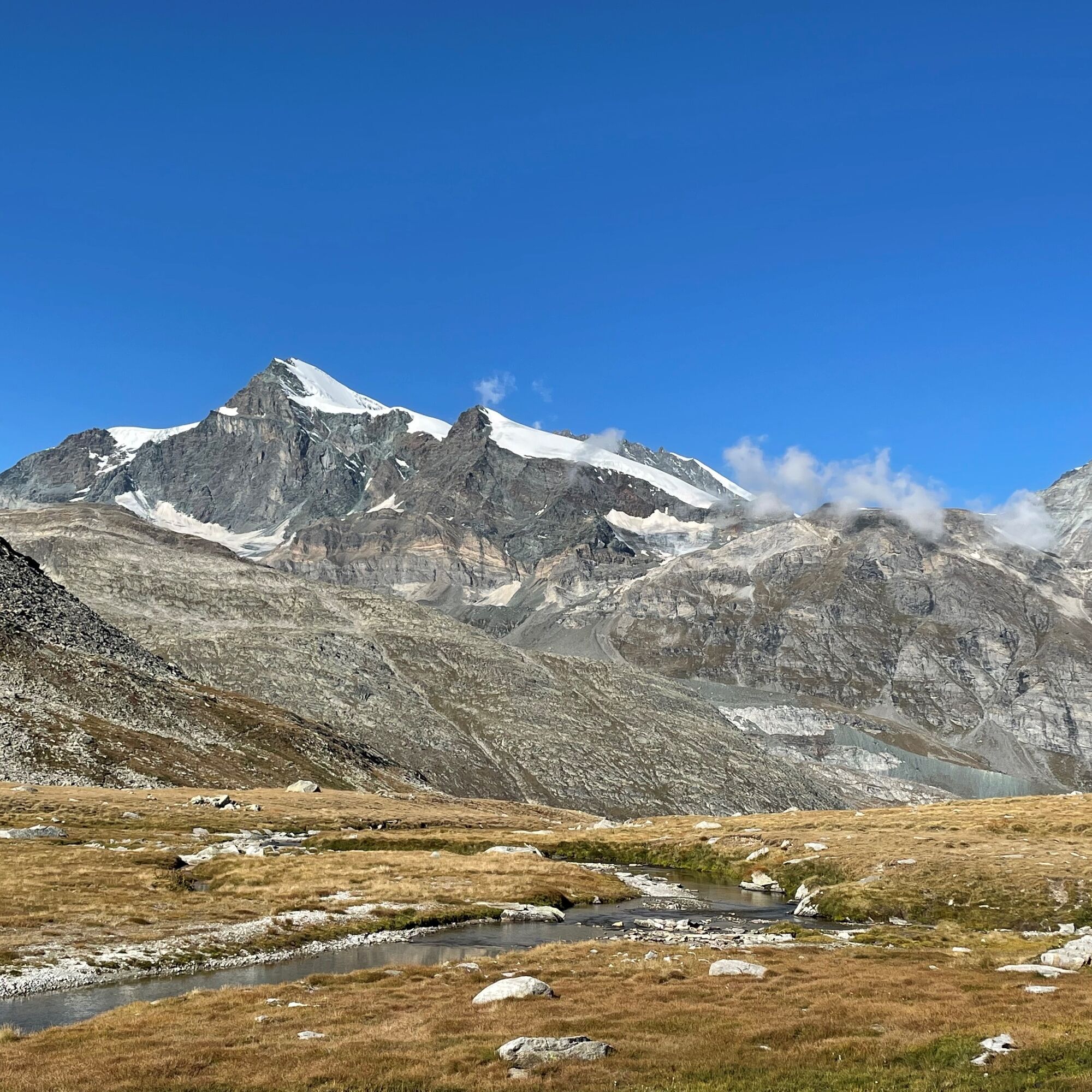
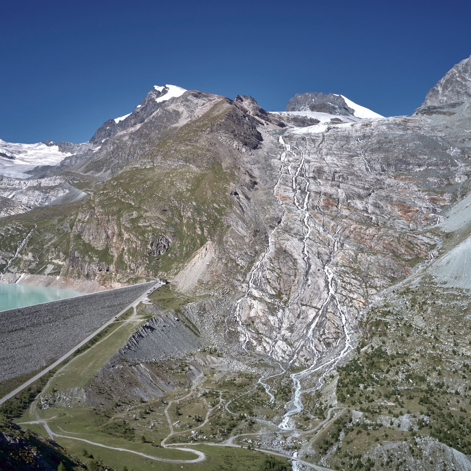

Restaurant Mattmark - Distelalp - Tälliboden - Ofental - Dam (Chrizegge) - Restaurant Mattmark
Good footwear
Outdoor clothing: always carry a waterproof jacket
Sun protection
Fluids and provisions
Trekking poles (optional)
Navigation tool
First aid kit
Using the hiking trails and information on this website is at your own risk. Conditions on site may cause route changes.
Use only marked hiking trails and follow all signs and instructions – for your own safety, to protect livestock, and to avoid disturbing the peace of wildlife.
Be considerate towards other trail users and the landscape. Take your waste and that of others with you.
Carry sun protection. UV rays can be very strong at high altitude, even on cloudy days.
Plan your hike carefully: consider the fitness required of all participants, weather forecasts, and seasonal conditions.
Weather conditions can change very quickly and without warning in the mountains. Appropriate clothing and sufficient supplies (food and drink) are very important. Turn back early in bad weather.
Do not go on glaciers without a mountain guide.
Observe warning signs indicating dangers.
Inform third parties about your route and, if possible, never go alone.
Pay attention to the opening hours of mountain lifts.
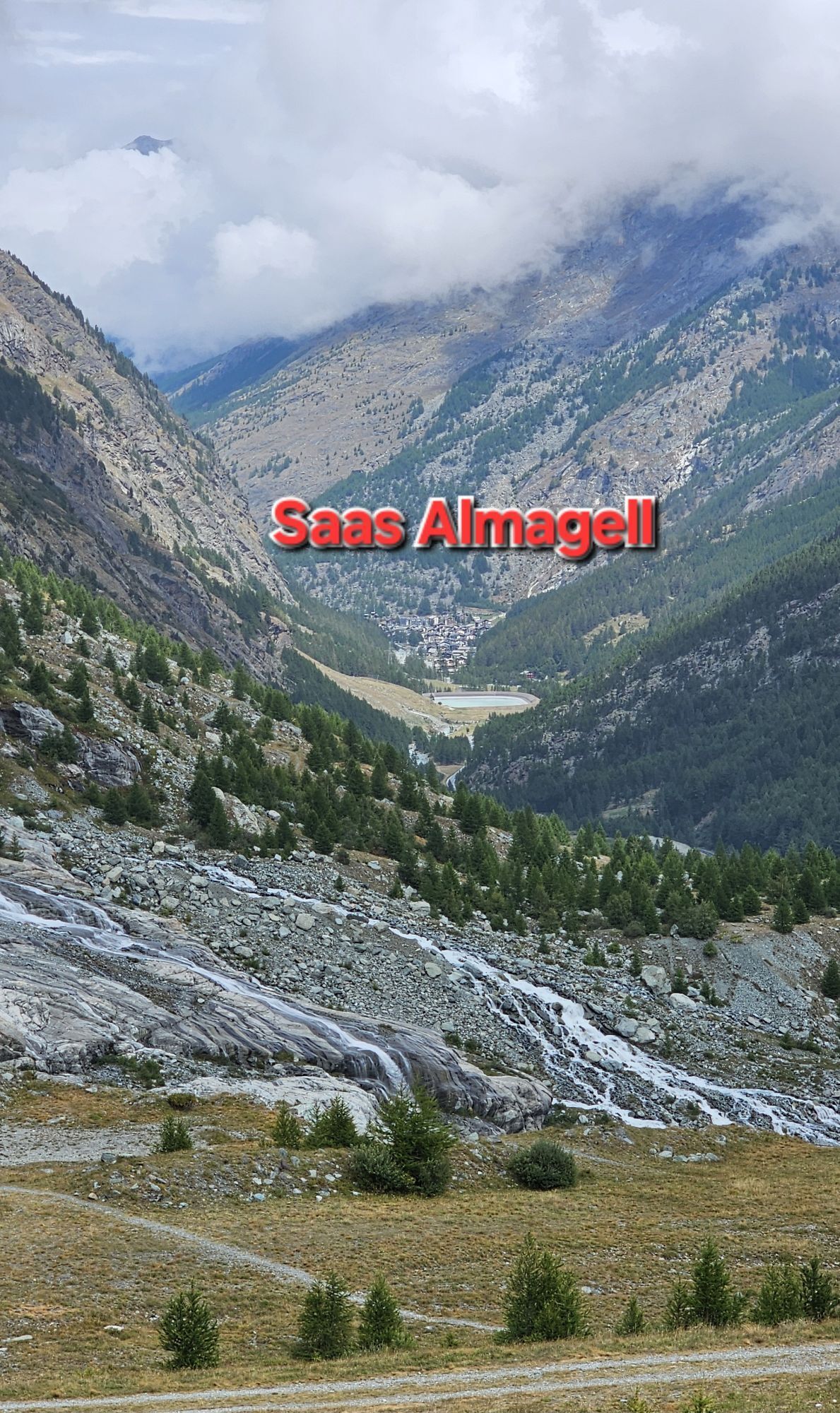
The Saastal is easy and convenient to reach by car from all directions, whether from Switzerland or abroad. From the north, you can reach us via Bern through the Lötschberg car shuttle. From the east you come via the Furka Pass or the Furka car shuttle. From the south we are reachable via Simplon Pass or the Simplon car shuttle, and from the west you drive over Lausanne along the Rhone valley to Visp and from there towards Saas-Fee. From Visp you drive south towards Saas-Fee. At the "Killerhof" roundabout to Stalden, take the second exit to Saas-Fee. In Saas-Grund, turn left after the church towards Saas-Almagell.
Take the SBB train to Visp and change there to the PostBus towards Saas-Fee (Bus 511). In Saas-Grund at the Post stop, change to the PostBus towards Saas-Almagell (Bus 513). Get off at the Mattmark stop.
Parking available directly at the dam.
T2
Saastal Tourism AG
Obere Dorfstrasse 2
3906 Saas-Fee
Tel.: +41 (0)27 958 18 58
Email: info@saas-fee.ch
www.saas-fee.ch
Restaurant Mattmark
3905 Saas-Almagell
Tel.: +41 (0)27 957 29 06
Enjoy the alpine tranquility.
Získajte prehľad
Vždy naživo na mieste s viac ako 9 500 webovými kamerami. bergfex Ako používateľ Pro si teraz môžete pozrieť príslušné webové kamery pre mnohé zájazdy v aplikácii zájazdy z. Môžete si tak priamo prezerať aktuálne podmienky.
Obľúbené výlety v okolí
-
4,9
Allalinhorn vom Mittelallalin über Normalweg
strednáVysoké turné 6,15 km -
3,6
Höhenweg Kreuzboden - Almagelleralp - Saas-Almagell
Turistika 9,74 km -
3,5
Waldweg Saas-Fee - Saas-Almagell
Turistika 2,83 km -
5,0
Weissmies Südgrat von Saas Almagell
strednáVysoké turné 20,5 km -
4,8
Marmot mountain path Spielboden
strednáTuristika 3,89 km -
5,0
Monte Rosa - Signalkuppe
strednáVysoké turné 12,7 km -
4,3
Ibex path
strednáTuristika 9,02 km -
5,0
Mountain trail Kreuzboden - Hohsaas
strednáTuristika 4,65 km -
3,5
Saas-Fee - Gemsweg - Hannig - Plattjen
Turistika 6,89 km -
Around the Mattmark Reservoir in the Saastal
svetloTuristika 8 km
Turistika a stopovanie


Nenechajte si ujsť ponuky a inšpiráciu na ďalšiu dovolenku
Vaša e-mailová adresa bol pridaný do poštového zoznamu.





