







Cliff route of St-Maurice
The ancient and charming town of St-Maurice, surrounded by its majestic rock face and the Rhone, was built at the narrowest point of the Rhone Valley.
The picturesque path first runs along the rock face...
The ancient and charming town of St-Maurice, surrounded by its majestic rock face and the Rhone, was built at the narrowest point of the Rhone Valley.
The picturesque path first runs along the rock face and then up to a plateau, offering a breathtaking view of the Rhone Valley. After crossing the plateau in the opposite direction, the trail descends through dense woods to the northern edge of the small town.
The final stretch holds some secrets to discover. The Fairy Grotto was the first publicly accessible grotto in Switzerland, and for over 150 years you can admire the small underground lake and waterfall on the 500 m long walk through illuminated galleries.
Through a door inside the gallery, you can also reach one of the three underground artillery fortresses carved into the rock on both sides of the river. The Cindey fortress was strictly secret until 1995 and can now be visited on guided tours. A bit further down the hiking trail is St-Maurice Castle, built between the 15th and 17th centuries and today hosting a museum and exhibitions dedicated to graphic art.
The last highlight of the path is the 1500-year-old abbey of St-Maurice with its precious collection of numerous works.
Highlights of the hike:
Majestic rock face – dramatic backdrop at the starting point of the hike Fairy Grotto – underground grotto, small lake and waterfall Military artillery fortresses – guided tours through the connecting tunnels, armories Abbey of St-Maurice – 1500-year history, treasury
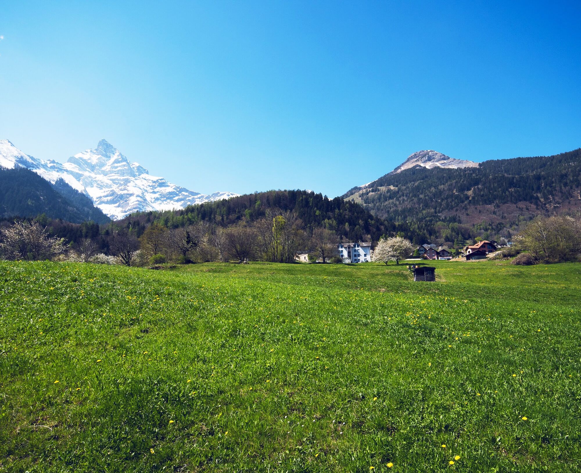
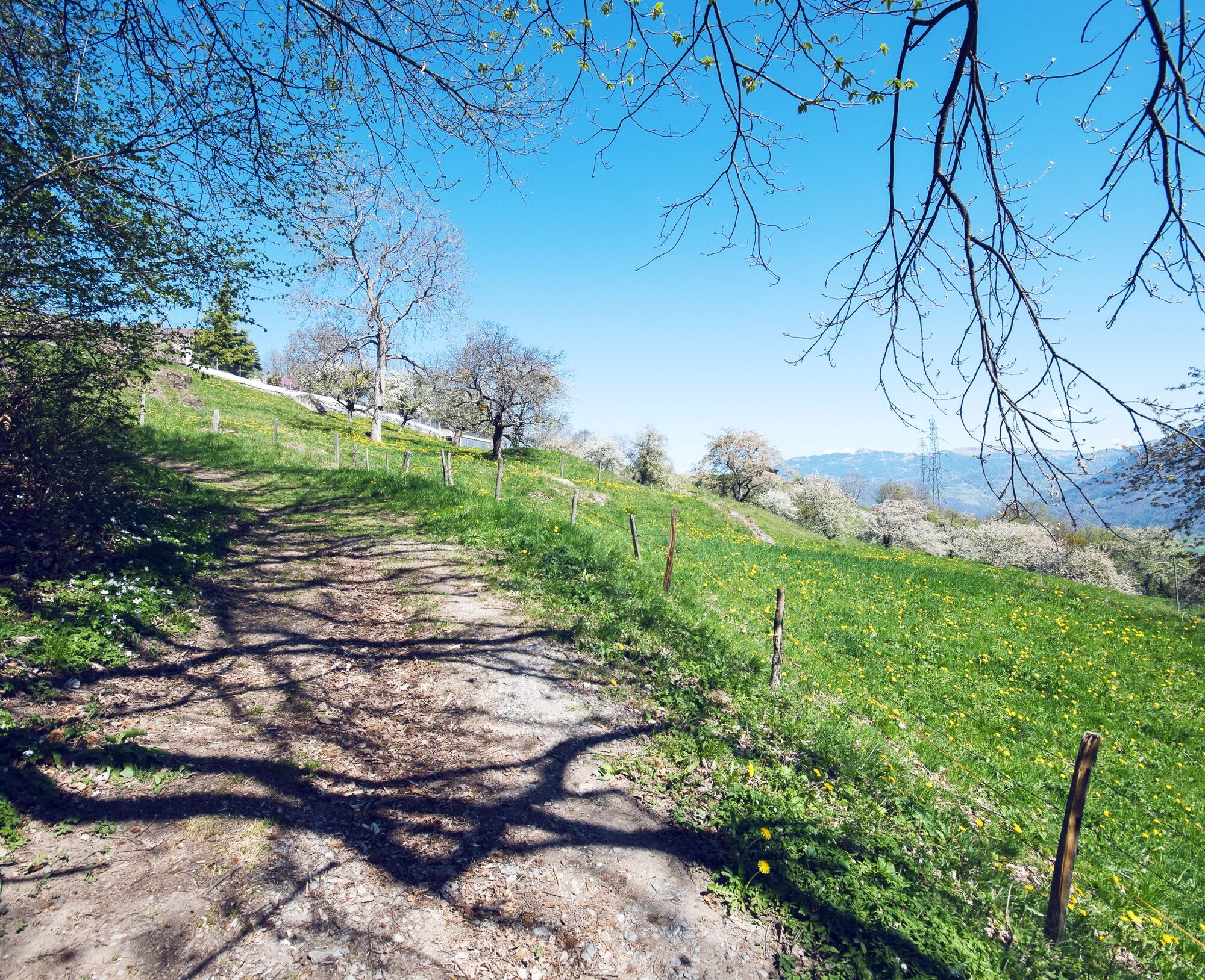
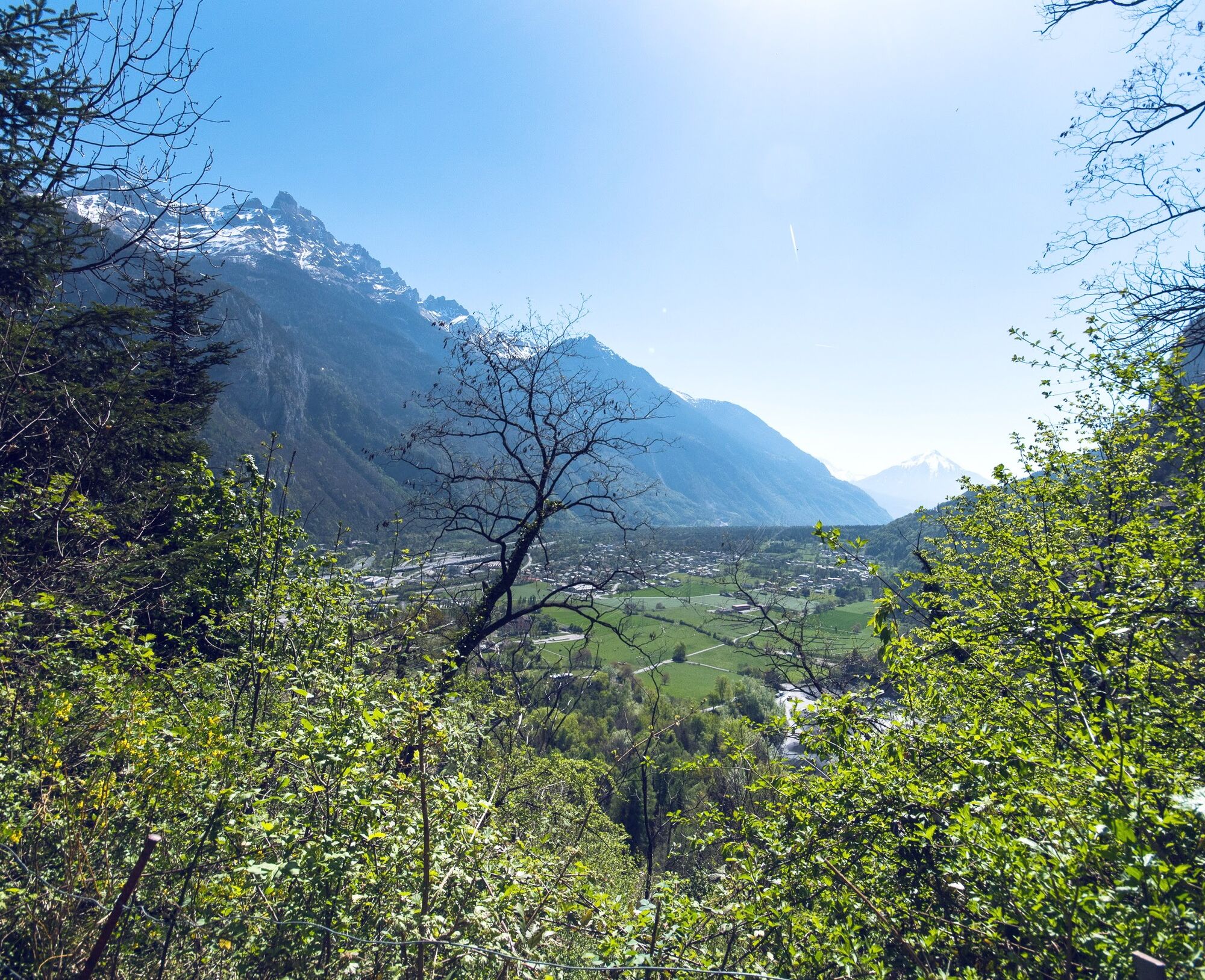
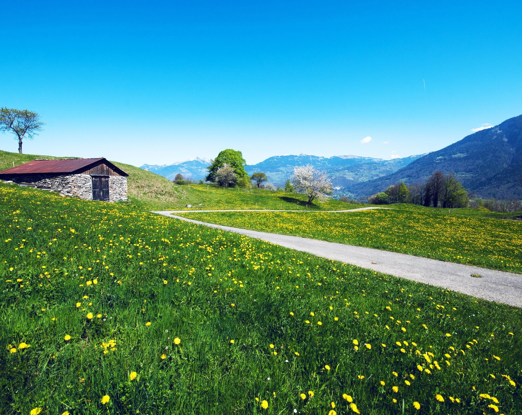
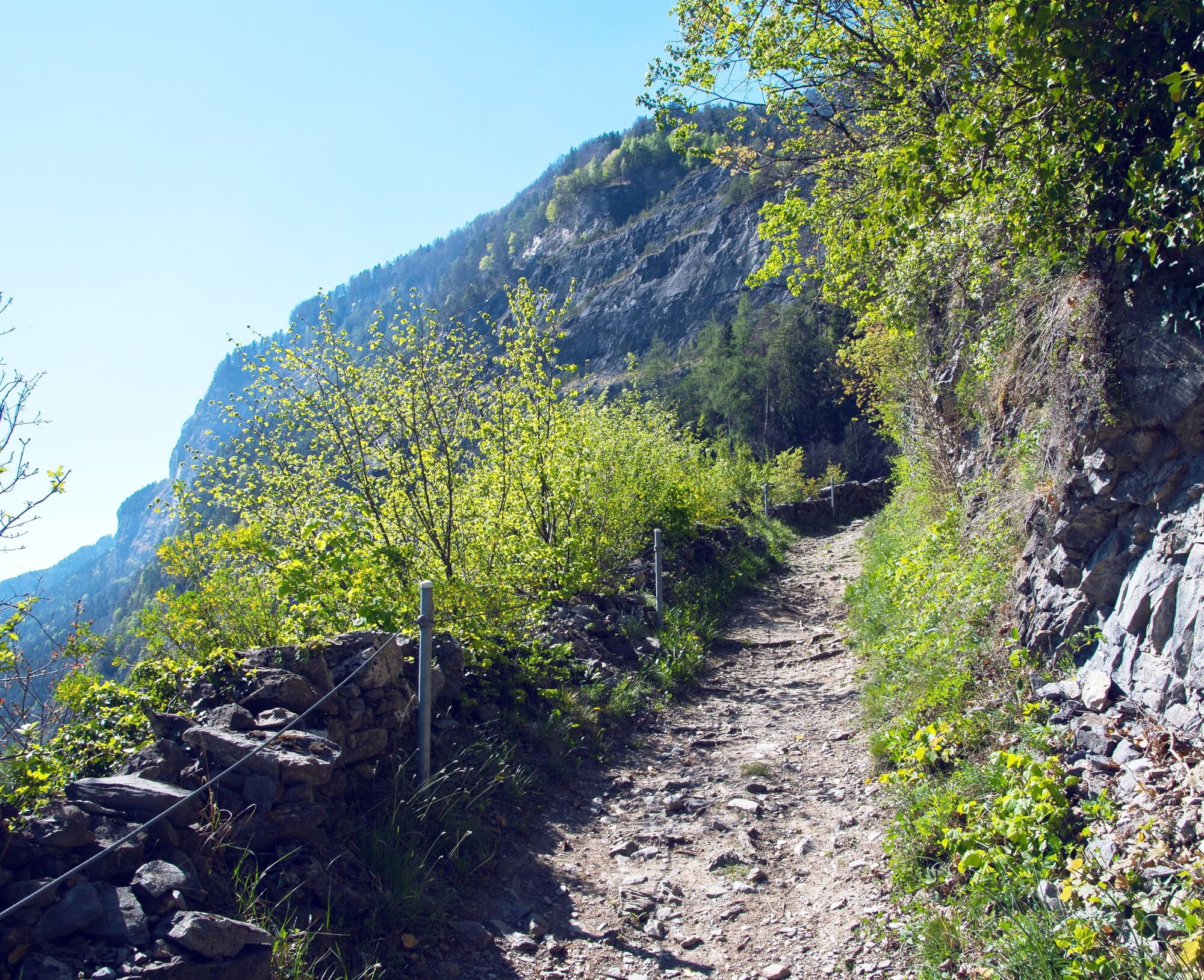
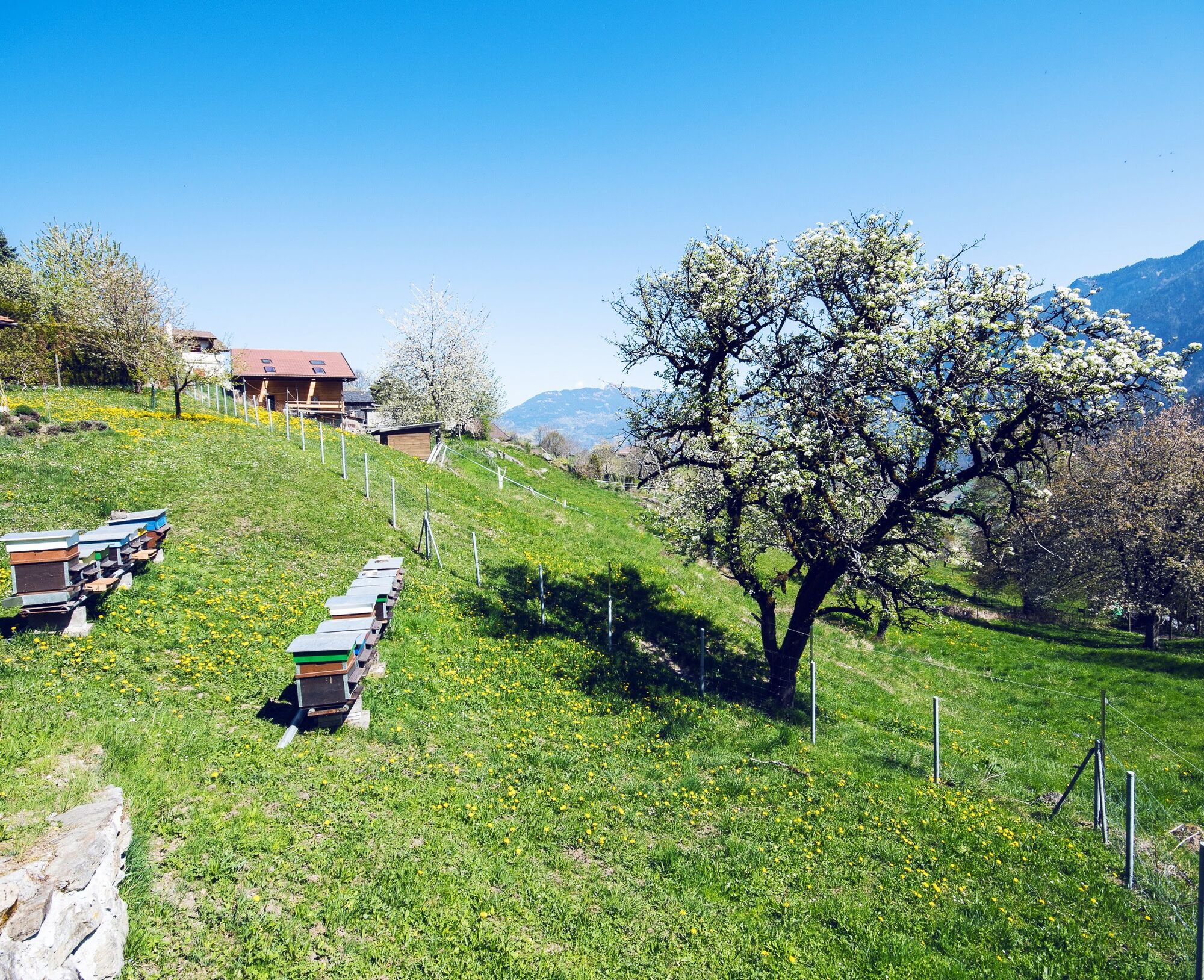
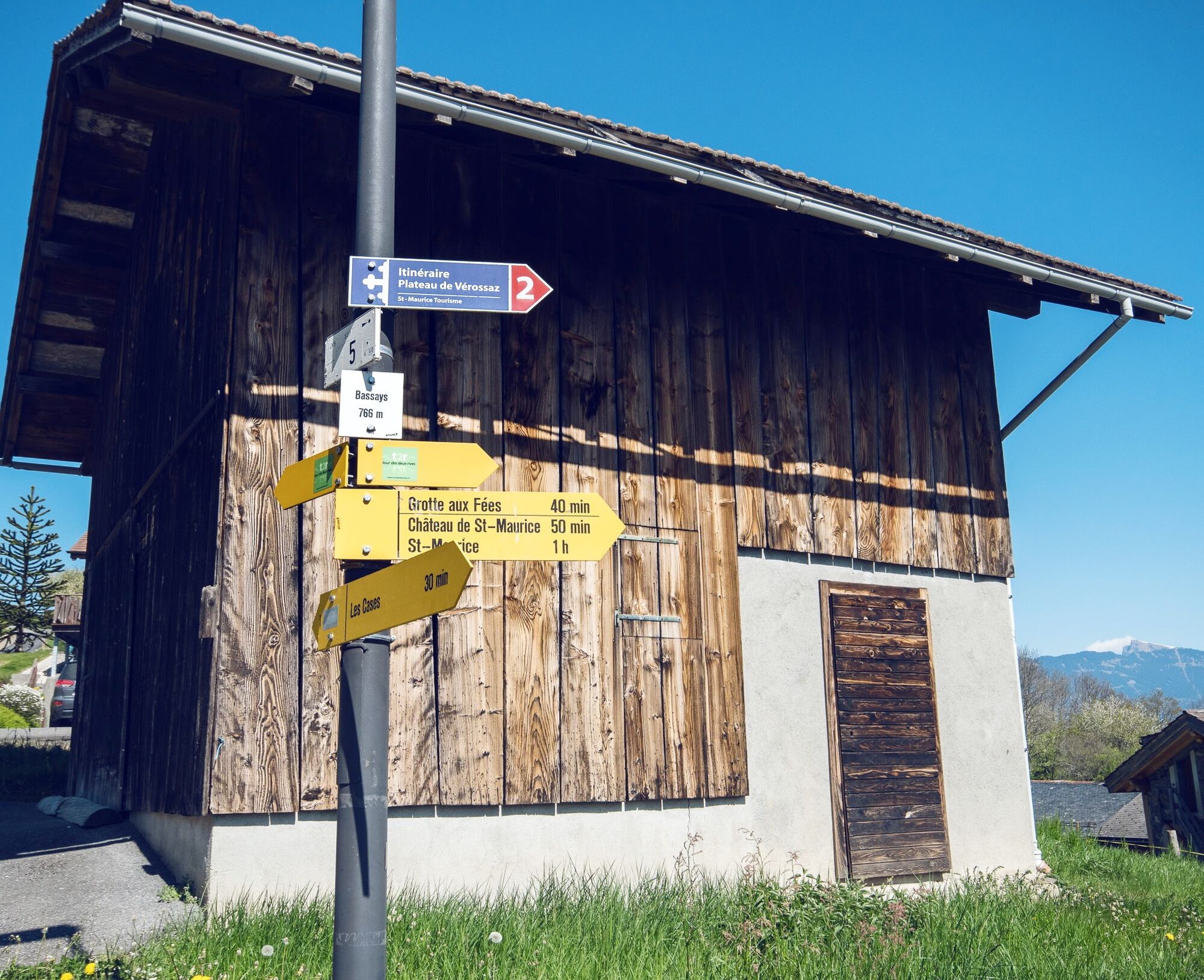
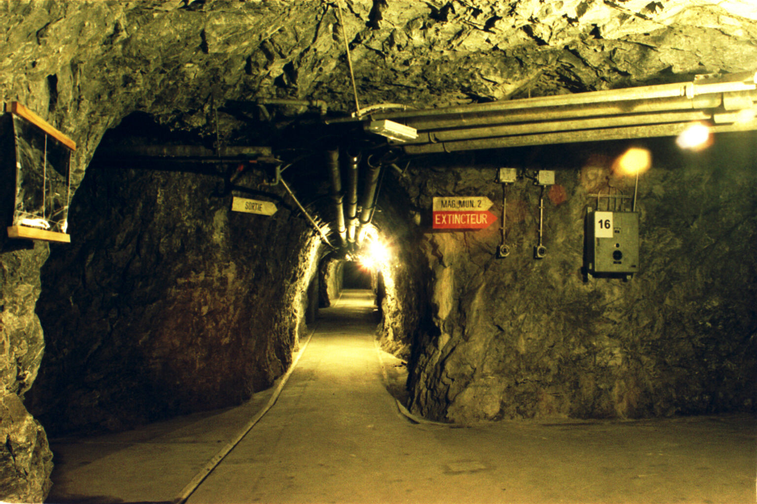
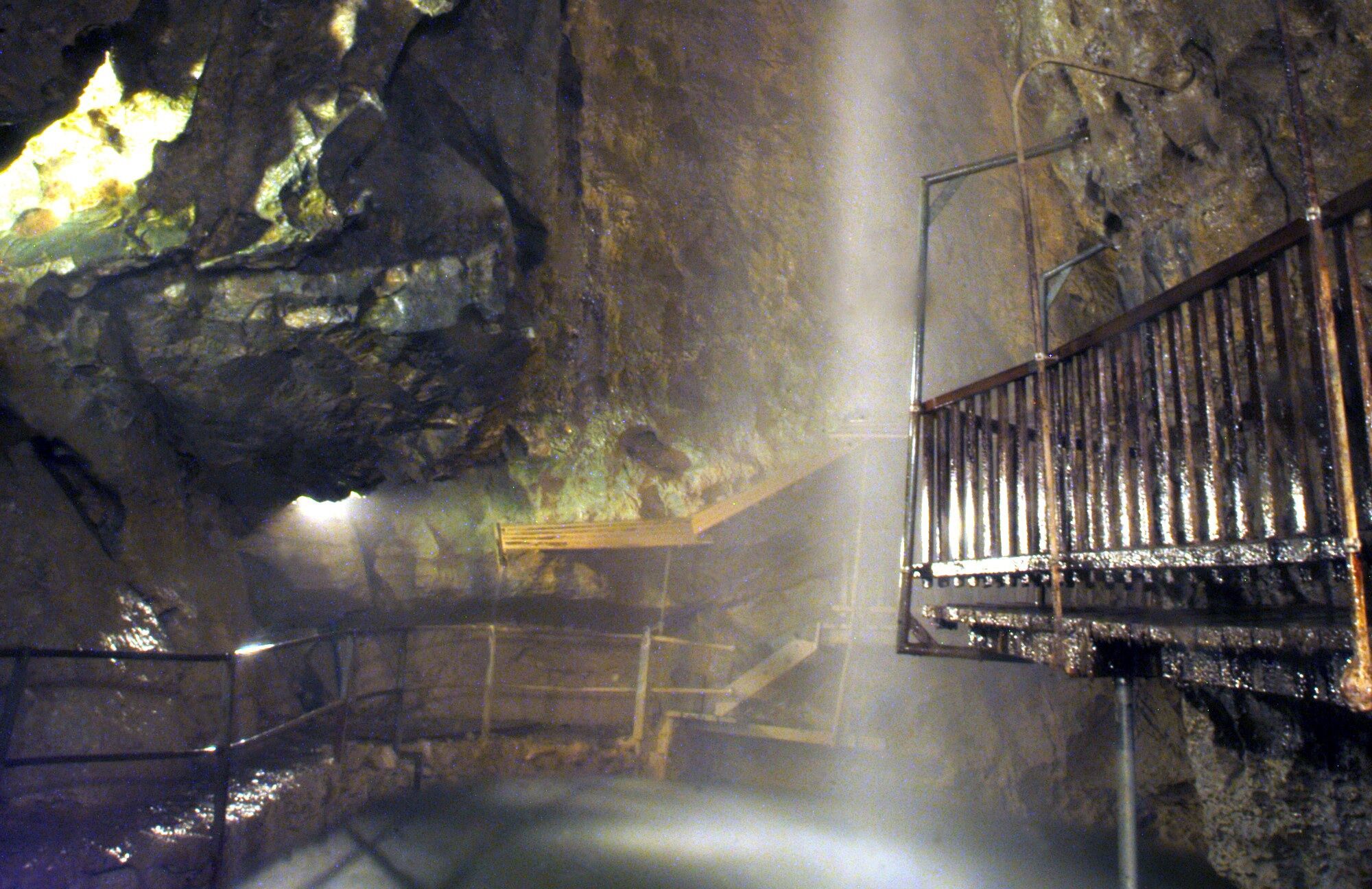
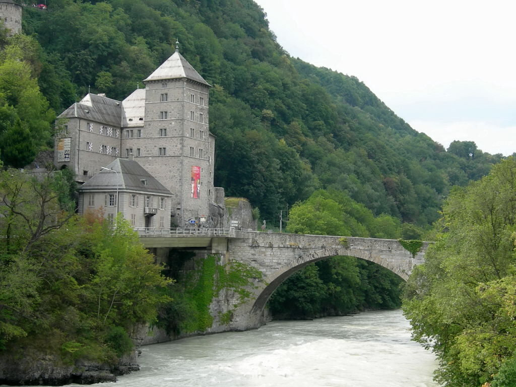
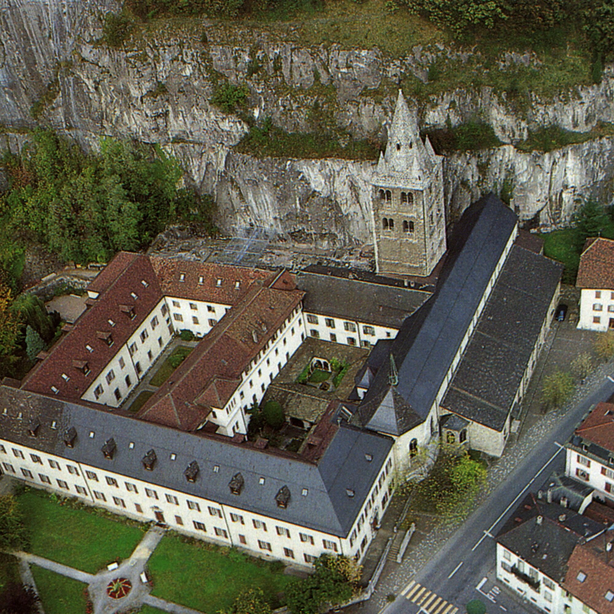

From the train station, the path first leads north to a railway underpass before turning south below the rock face. From the hamlet Les Cases, it zigzags up to the hamlet Les Bassex, which is located slightly below the village of Vérossaz. The path then heads north across the plateau, following the rock face in the opposite direction, before descending through the woods (caution, slippery when wet) down into the valley. The hiking trail passes the Fairy Grotto and the Cindey fortress, descending to St-Maurice Castle, which overlooks the Rhone. The last section runs along the rock face past the 1500-year-old abbey back to the train station.
Áno
Áno
We recommend:
Good footwear Weather-dependent clothing: always carry a waterproof vest Headwear Sunscreen Water bottle Picnic Camera Binoculars (optional) Trekking poles (optional) Printout of the hiking trail (click “Print” to download)For certain hikes:
SwimsuitUse of the hiking trails and information on this website is at your own risk. Local conditions may potentially cause changes to the route. Valais/Wallis Promotion assumes no responsibility for the accuracy and completeness of the information on this website. Assess your own abilities and fitness well. Use of the various routes is fundamentally at your own responsibility.
For all hikes:
Carry a map with you. Download the full description of the hiking trail with a large-scale map by clicking “Print” at the top right of the page. Use only marked hiking trails and obey all signposts and instructions—for your own safety, to protect grazing animals, and out of respect for wildlife. Close gates after passing through them. Behave considerately towards other trail users, plants, and animals.For mountain hikes:
Carry additional sun protection. UV rays at high altitudes can be very strong, even in cloudy weather. Plan your hike carefully: Consider the required fitness level of all participants, weather forecasts, and seasonal dependencies. Weather conditions in the mountains can change very quickly and without warning. Appropriate clothing and sufficient provisions (food and drink) are very important. In unstable weather, it’s best to turn back early.For high alpine hikes:
Inform your family about your route. If possible, avoid being alone. Do not venture onto glaciers without a mountain guide. Observe warning signals indicating dangers along riverbanks, watercourses below dams and reservoirs: Water levels can rise rapidly and without warning.Highway A9, exit 20 (St-Maurice)
Train to St-Maurice. Detailed train schedules can be found at sbb.ch.
Numerous paid parking options in the town center. Follow the local parking guidance system in St-Maurice.
More information about the destination:
St-MauriceTake binoculars: The rock walls are a nesting place for birds, including the rare peregrine falcons.
Získajte prehľad
Vždy naživo na mieste s viac ako 9 500 webovými kamerami. bergfex Ako používateľ Pro si teraz môžete pozrieť príslušné webové kamery pre mnohé zájazdy v aplikácii zájazdy z. Môžete si tak priamo prezerať aktuálne podmienky.
Obľúbené výlety v okolí
-
4,6
From Saillon to the Farinet suspension bridge
strednáTuristika 7,86 km -
5,0
Sentier de Salanfe
strednáTuristika 12,8 km -
5,0
Circular hike Roc Coupé – Bonavau – Champéry
strednáTuristika 12,1 km -
Tour du Grand Chavalard
strednáTuristika 14,9 km -
5,0
Morgins - Col des Portes du Soleil
svetloSkitour 15,2 km -
5,0
De Bretaye au Lac des Chavonnes via Vy Boveyre et Conche
svetloTuristika 5,37 km -
4,6
Les Diablerets- Villars - Gryon
strednáLyžovanie 51,8 km -
5,0
Tour de La Seya hike
strednáTuristika 8,09 km -
Via Farinetta
ťažkéVia ferrata 6,41 km -
5,0
Champéry - Sous Scex
Turistika 2,41 km
Turistika a stopovanie


Nenechajte si ujsť ponuky a inšpiráciu na ďalšiu dovolenku
Vaša e-mailová adresa bol pridaný do poštového zoznamu.





