


Les cols du Grand-St-Bernard
Fotografie našich používateľov
-
 © AnerVytvorené dňa 09.08.2025
 -
 © AnerVytvorené dňa 09.08.2025
 -
 © AnerVytvorené dňa 09.08.2025
 -
 © AnerVytvorené dňa 09.08.2025
 -
 © simone ravasiVytvorené dňa 22.07.2025
 -
 © simone ravasiVytvorené dňa 22.07.2025
 -
 © simone ravasiVytvorené dňa 22.07.2025
 -
 © simone ravasiVytvorené dňa 22.07.2025
 -
 © simone ravasiVytvorené dňa 22.07.2025
 -
 © simone ravasiVytvorené dňa 22.07.2025
 -
 © simone ravasiVytvorené dňa 22.07.2025
 -
 © simone ravasiVytvorené dňa 22.07.2025
 -
 © simone ravasiVytvorené dňa 22.07.2025
 -
 © simone ravasiVytvorené dňa 22.07.2025
 -
 © simone ravasiVytvorené dňa 22.07.2025
 -
 © simone ravasiVytvorené dňa 22.07.2025
 -
 © simone ravasiVytvorené dňa 22.07.2025
 -
 © AnerVytvorené dňa 15.06.2024
 -
 © AnerVytvorené dňa 15.06.2024
 -
 © AnerVytvorené dňa 15.06.2024
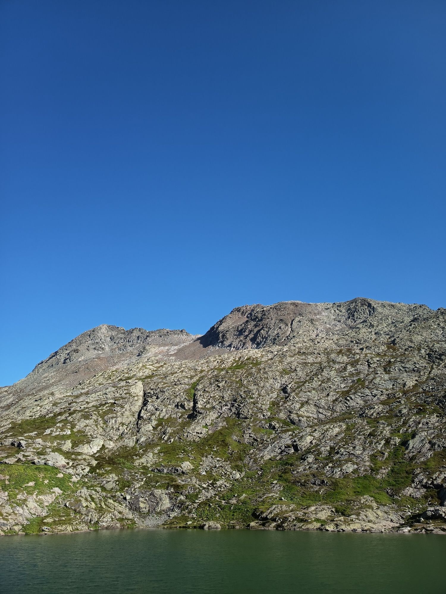

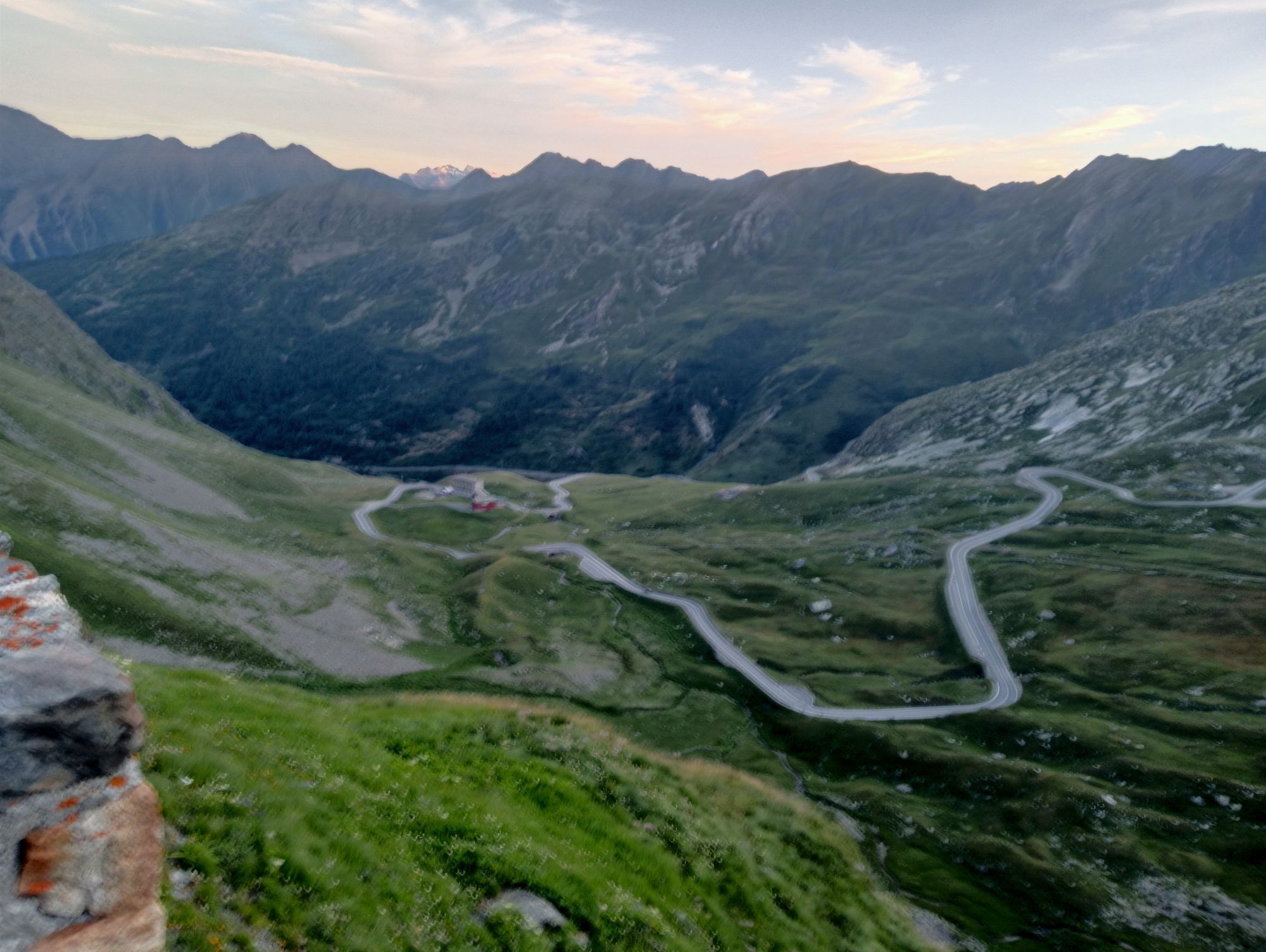


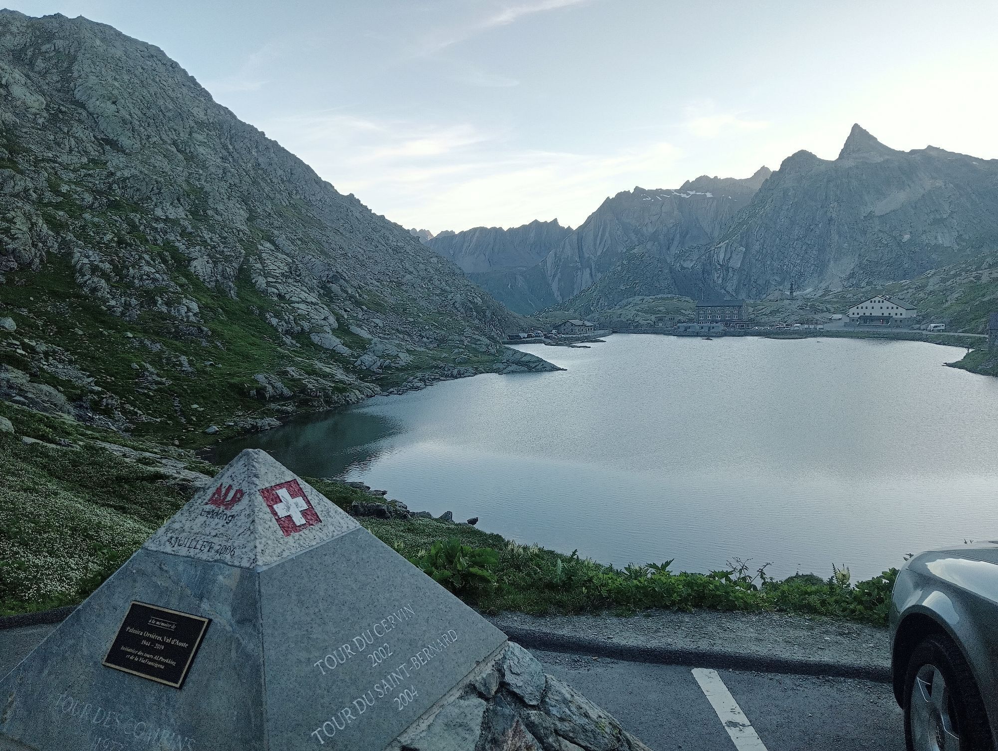


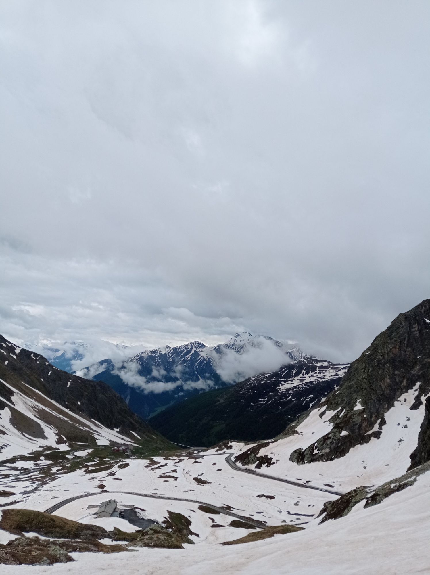


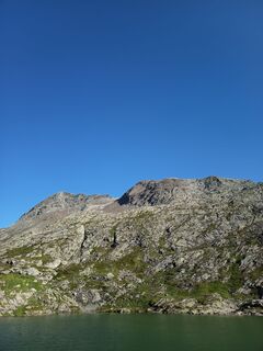
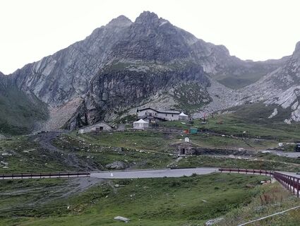
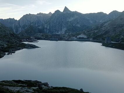
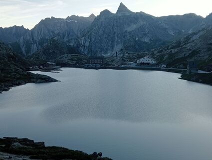
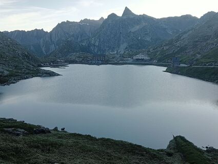
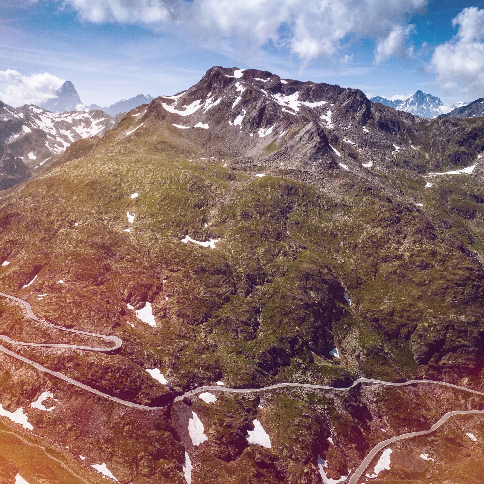
The Great Saint Bernard has been an important connection between northern and southern Europe since Roman times. The historic pass is also a starting point for numerous hikes.
The hike begins at the pass...
The Great Saint Bernard has been an important connection between northern and southern Europe since Roman times. The historic pass is also a starting point for numerous hikes.
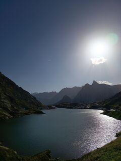
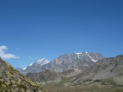
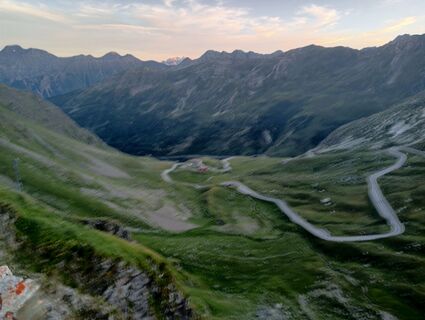
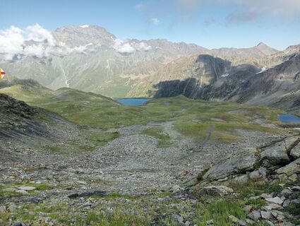
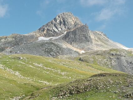
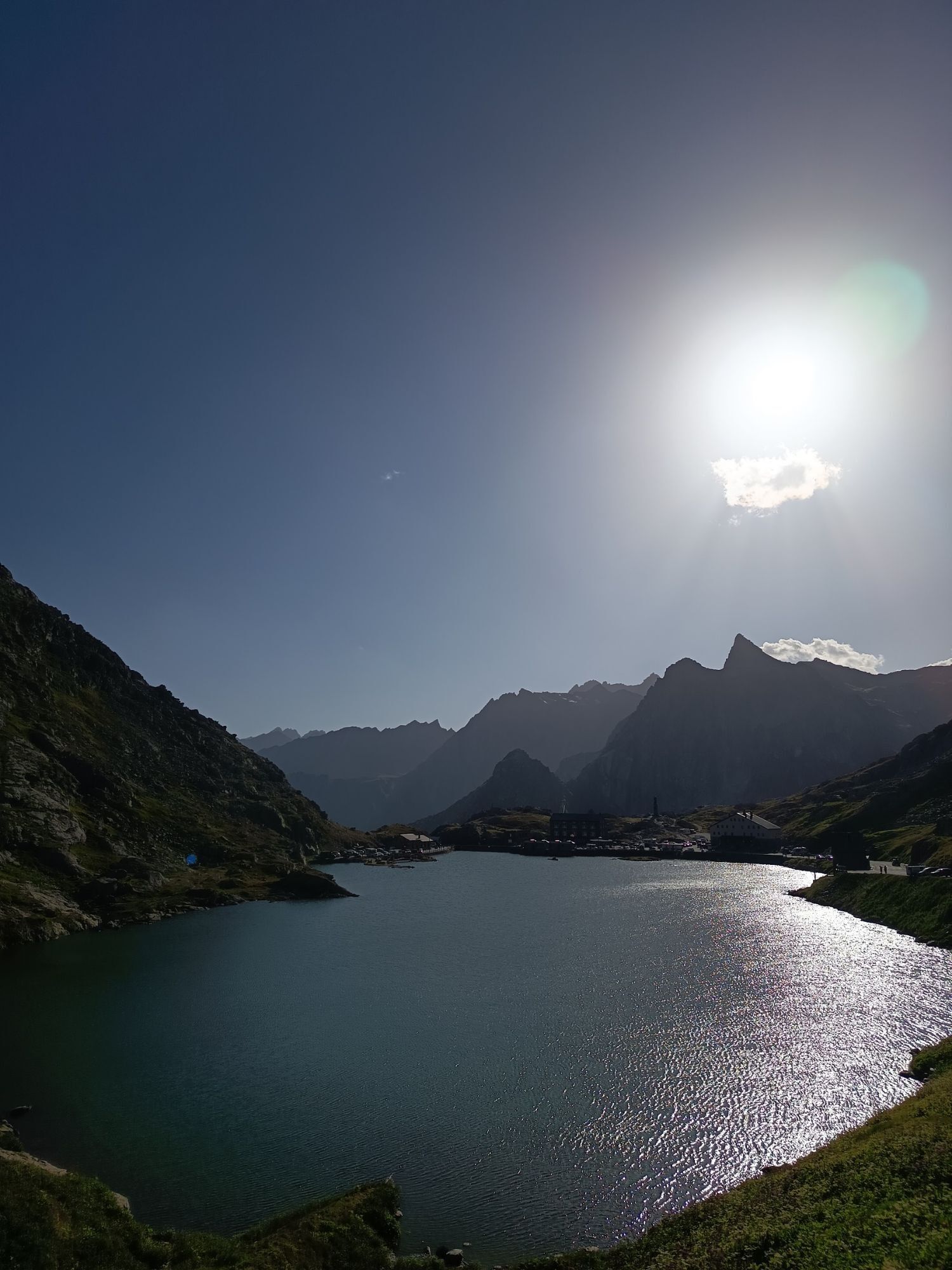
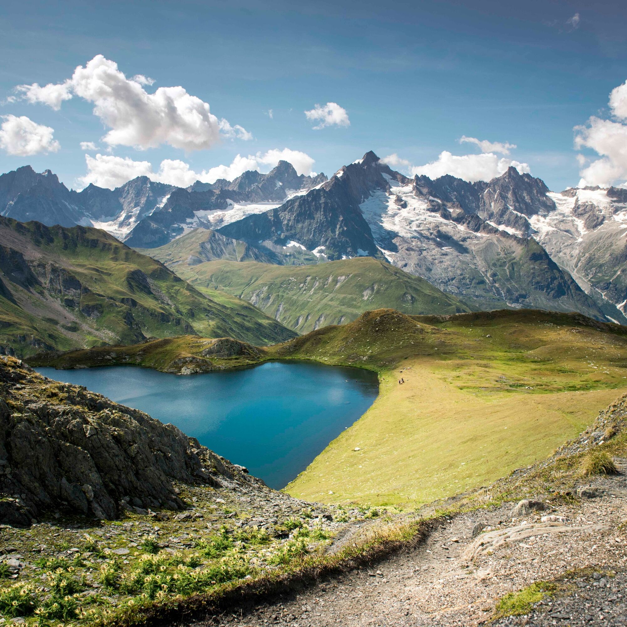
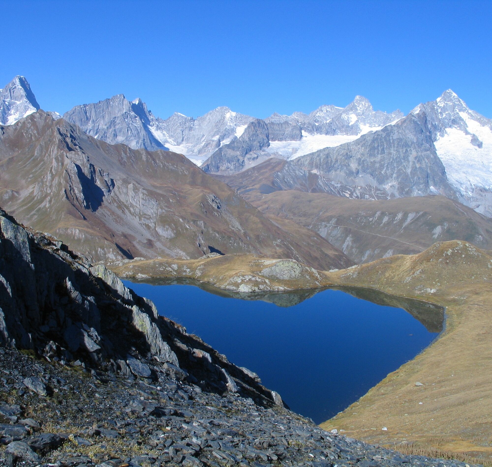
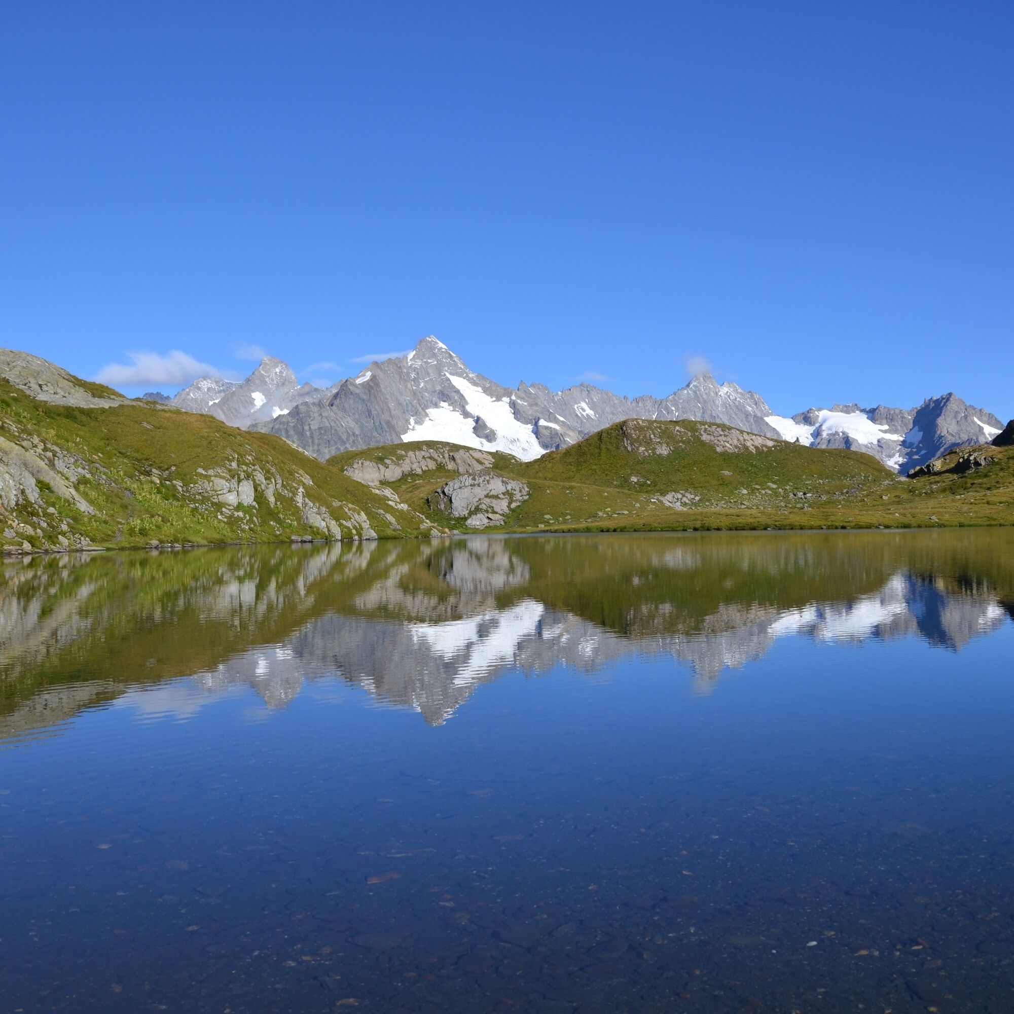
The hike begins at the pass height and includes three ascents to passes with varied views. The three mountain lakes, the Lacs de Fenêtre, are located on a flower-filled plateau at around 2500 meters altitude. The view of Mont Blanc and the neighboring peaks accompanies you on this hike.
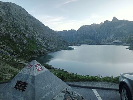
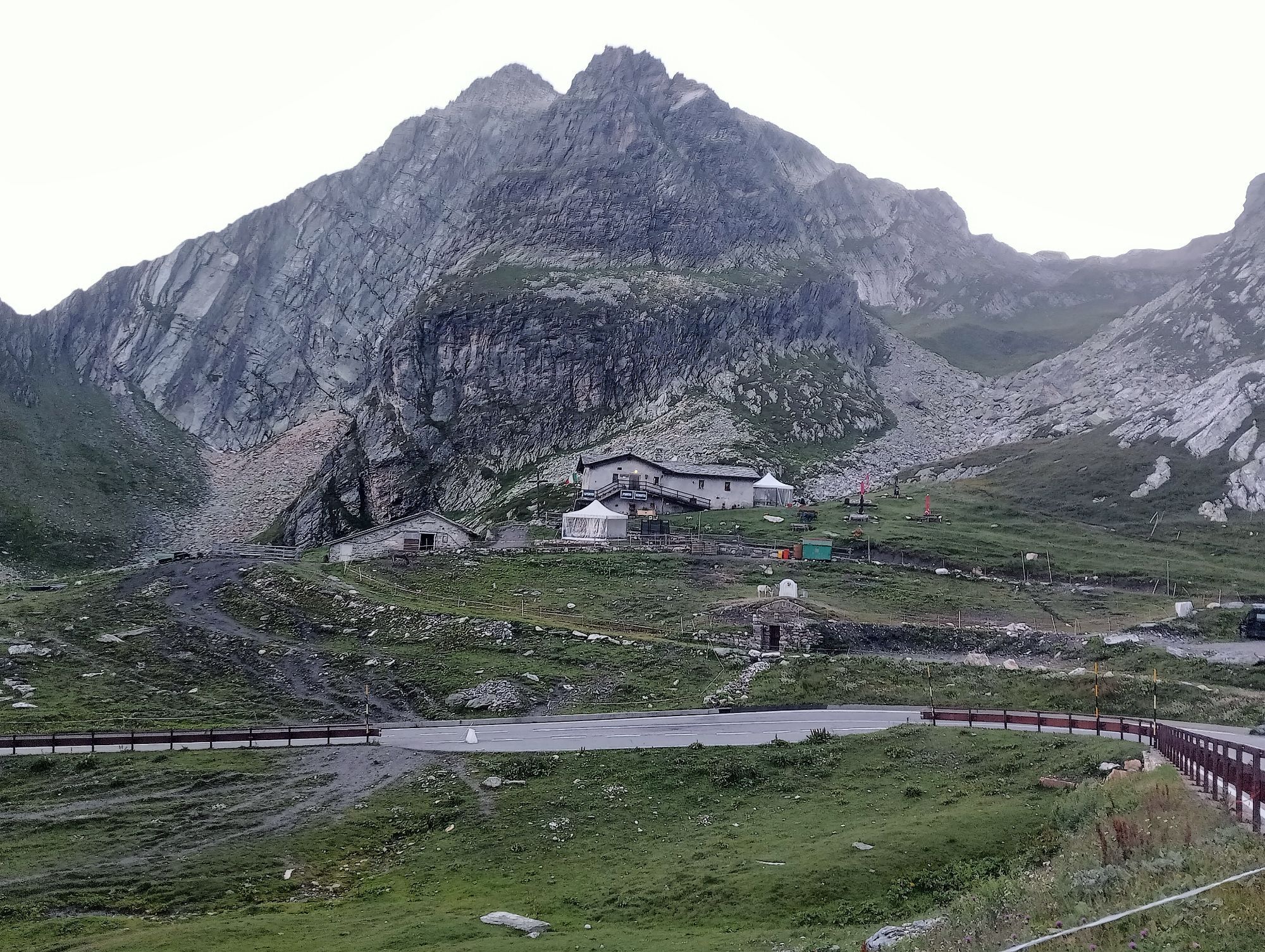
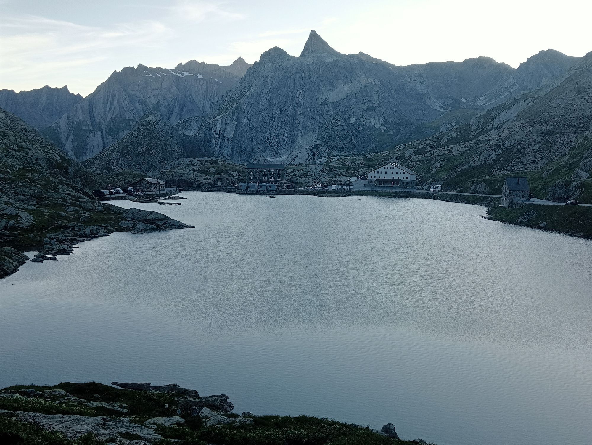
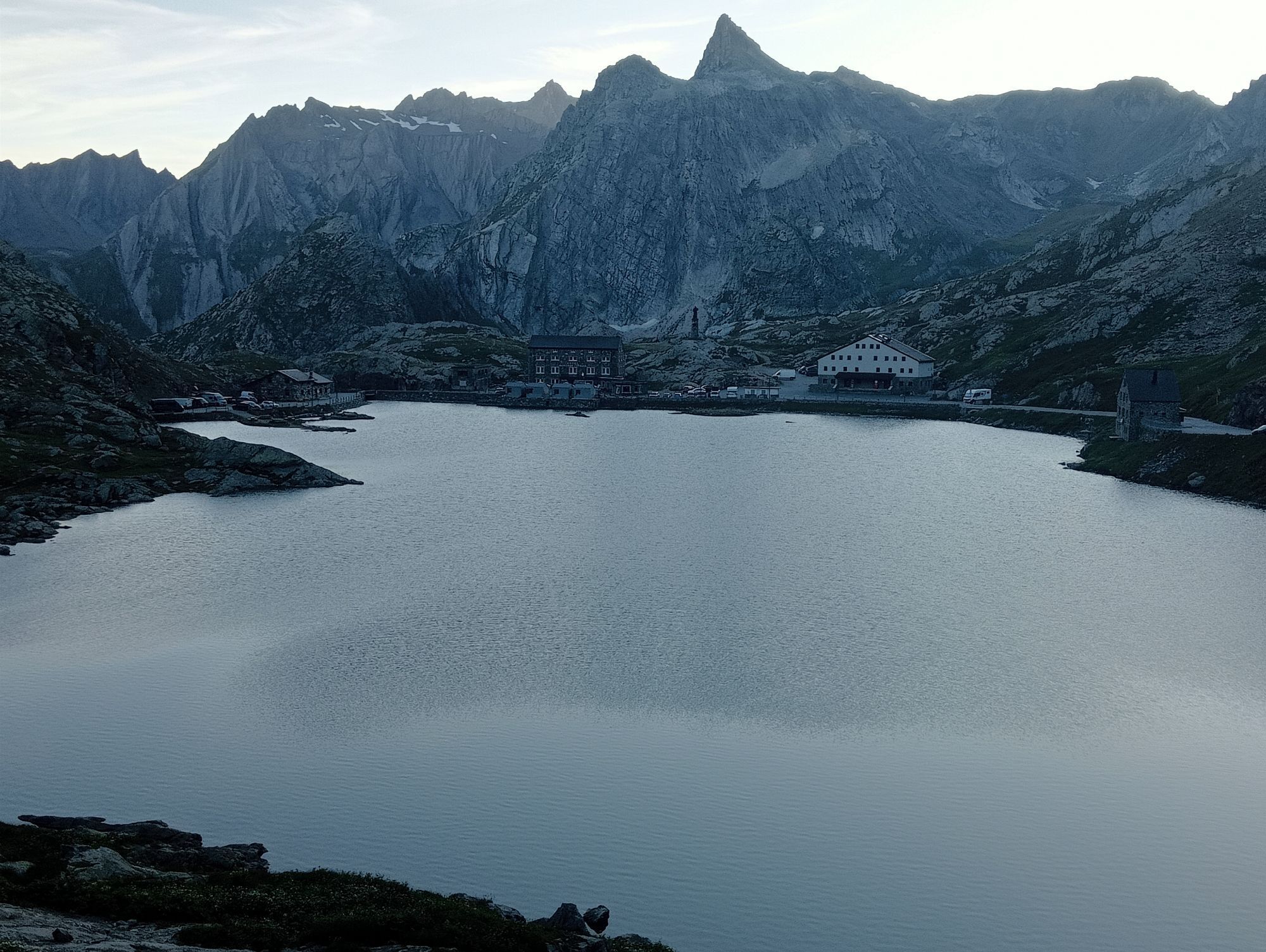
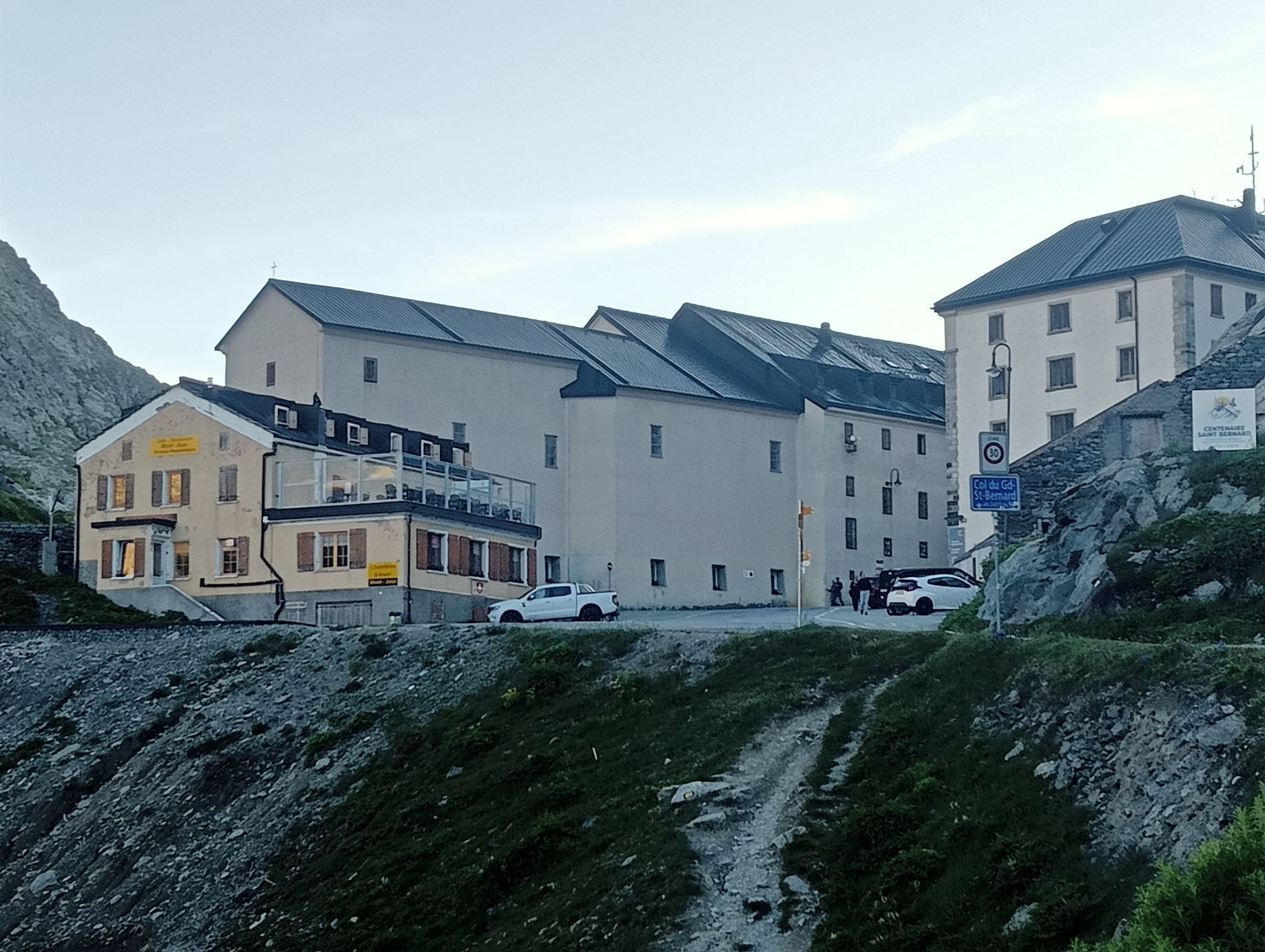
Time should definitely be set aside to explore the pass height with its historic hospice from the 11th century. Highlights include the baroque church and a small museum about the history and natural environment of the Great Saint Bernard. During the summer months, the Saint Bernard dogs also stay at the pass height.
In the Middle Ages, pilgrims crossed the pass on their way to Rome. Today, the Via Francigena offers hikers a historic route from Canterbury to Rome. The last part of the described hike follows this historic path.
The stars of the Great Saint Bernard are undoubtedly the Saint Bernard dogs, which were bred here by monks over centuries. Today the breeding is located in Martigny, yet the dogs of the Fondation Barry spend the summer at the pass. Visitors can take guided walks with the dogs in the surroundings of the pass.
Highlights of the route:
Dramatic landscape with passes, mountain lakes and spectacular views. Historic hospice with church and museum. Saint Bernard dogs that spend the summer on the pass.
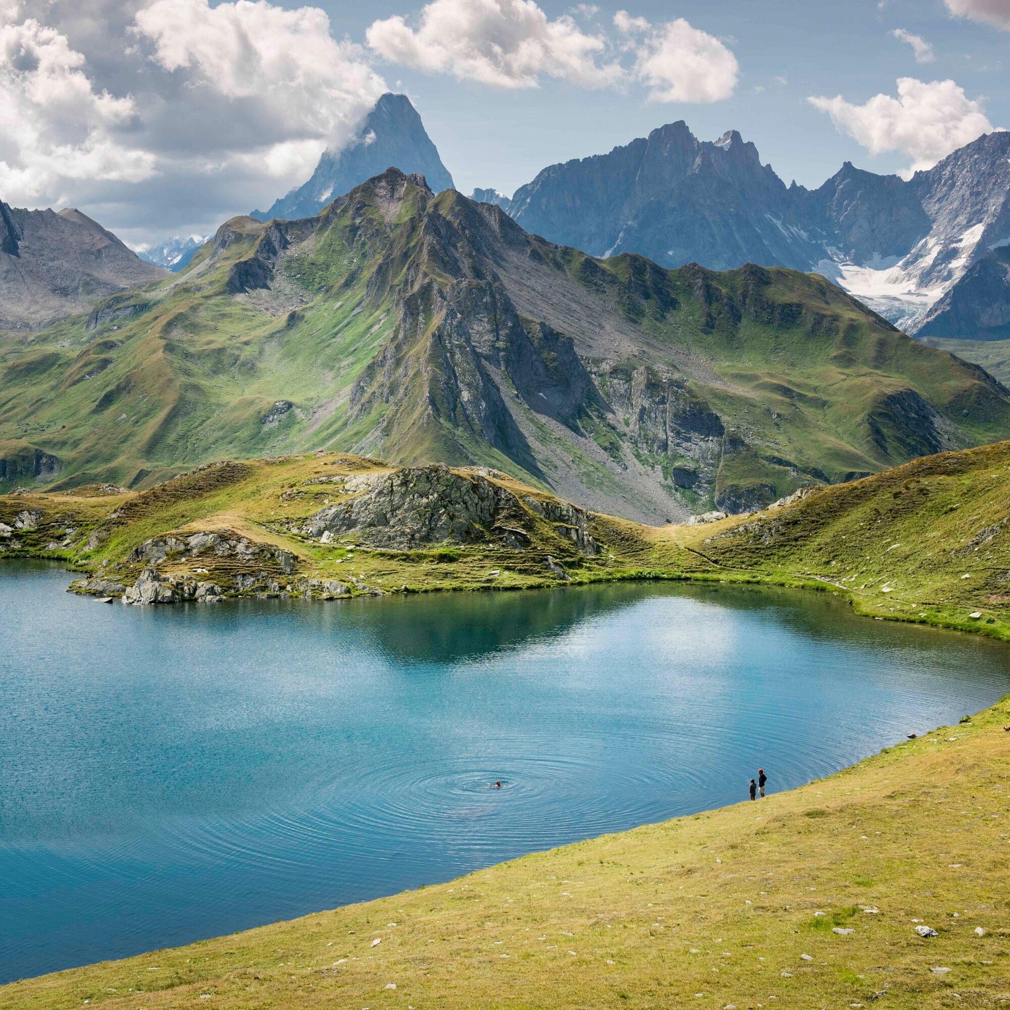
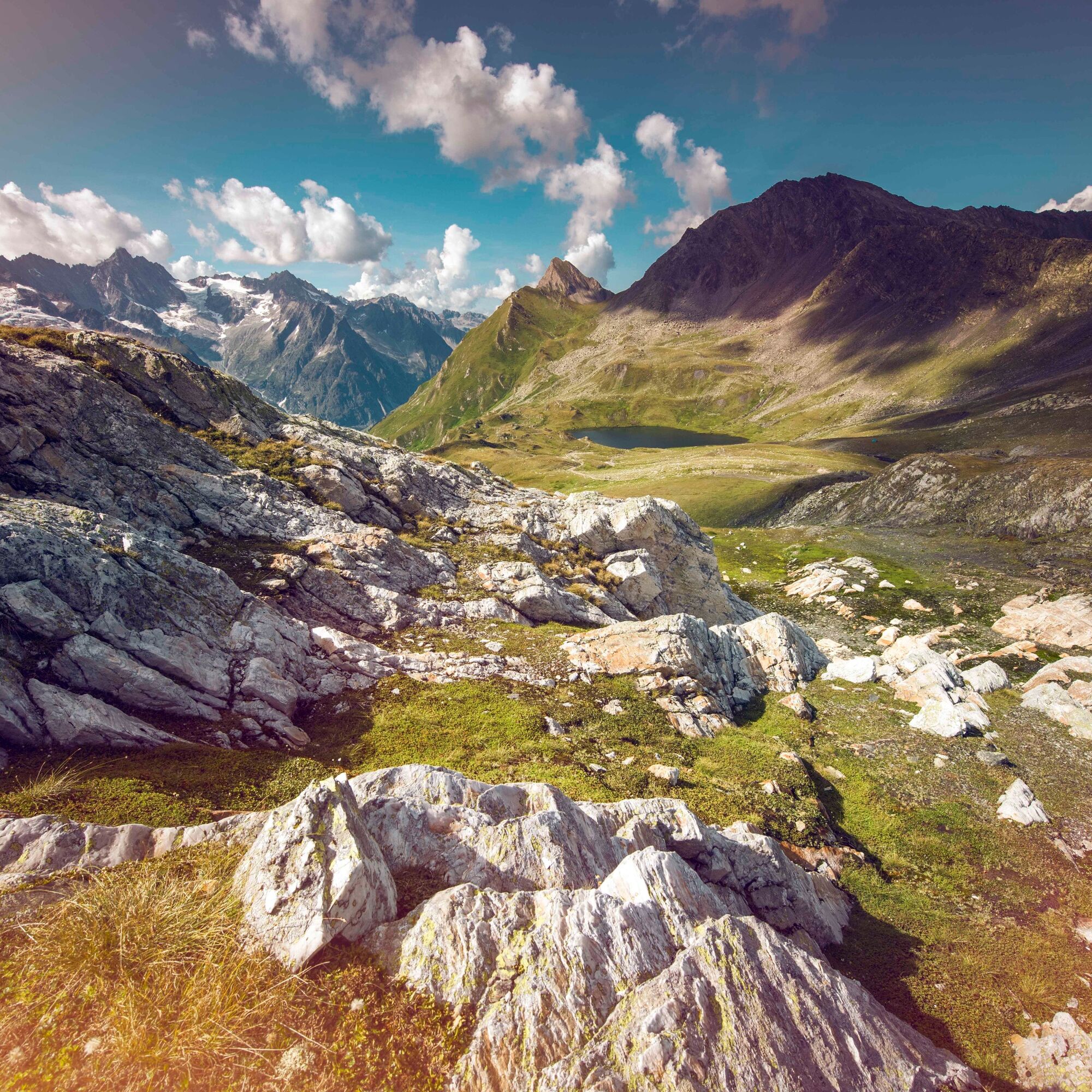
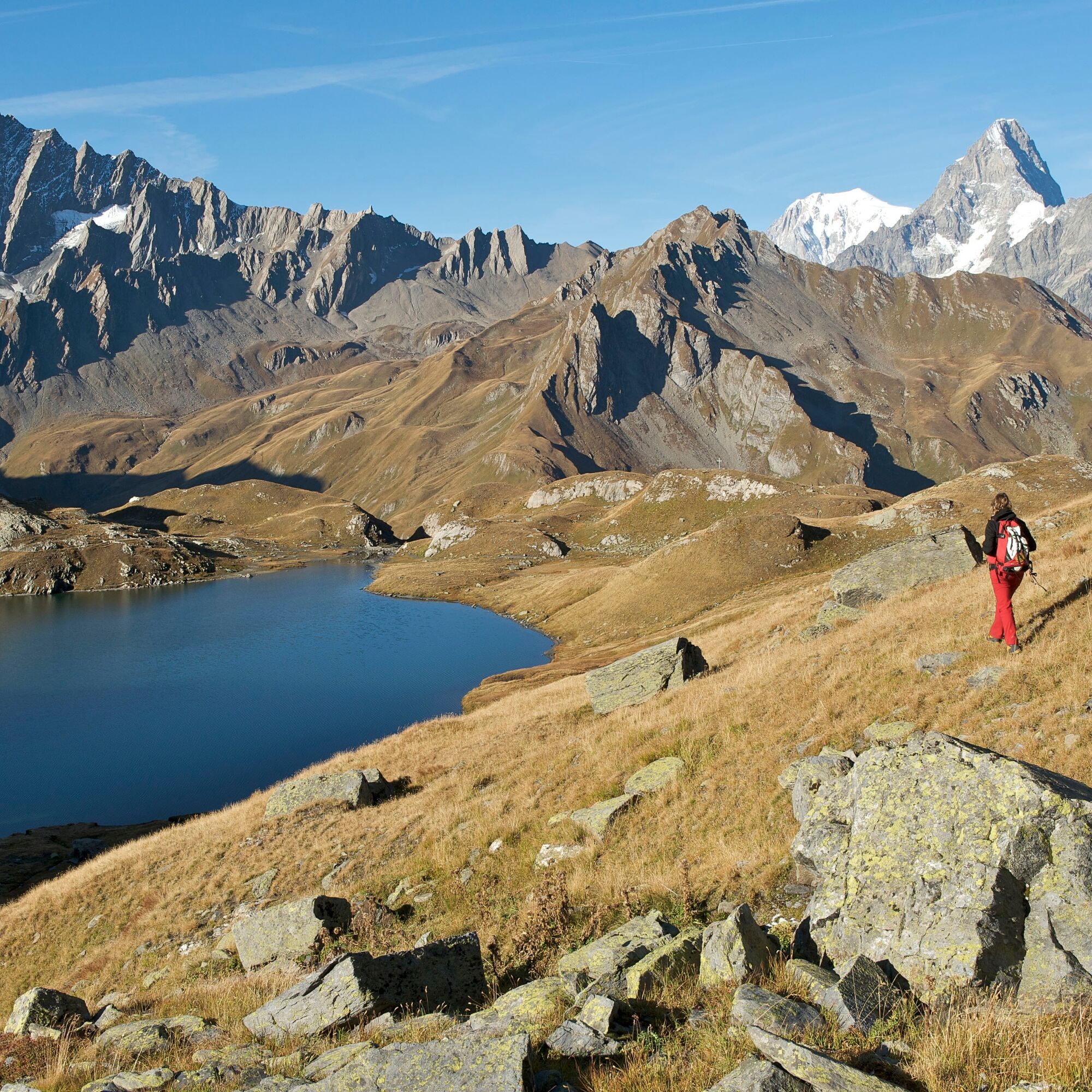
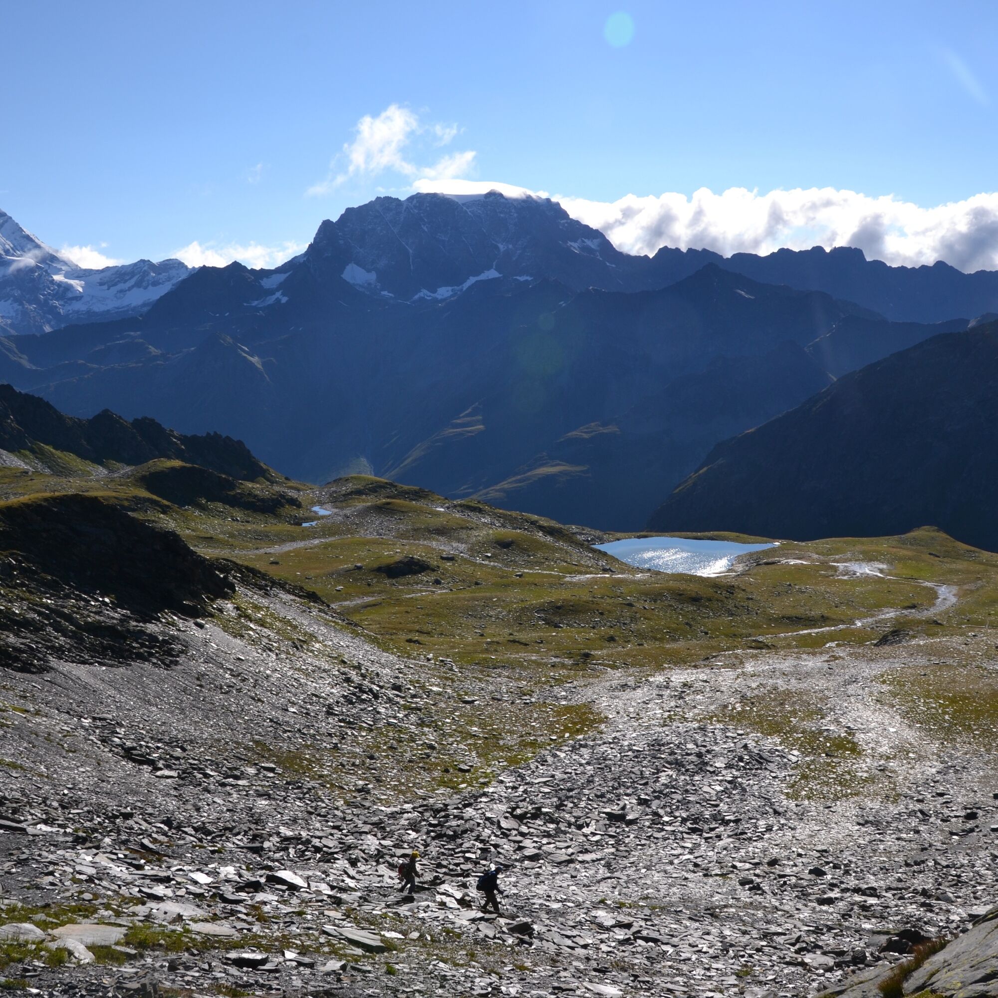
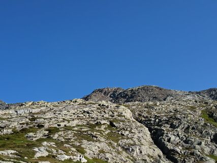
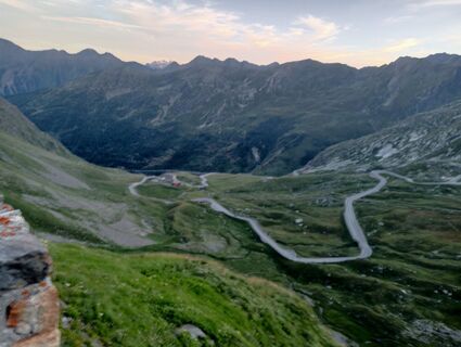
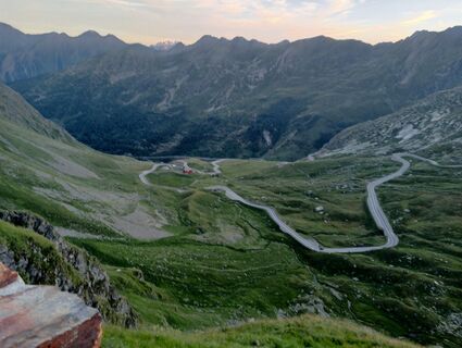
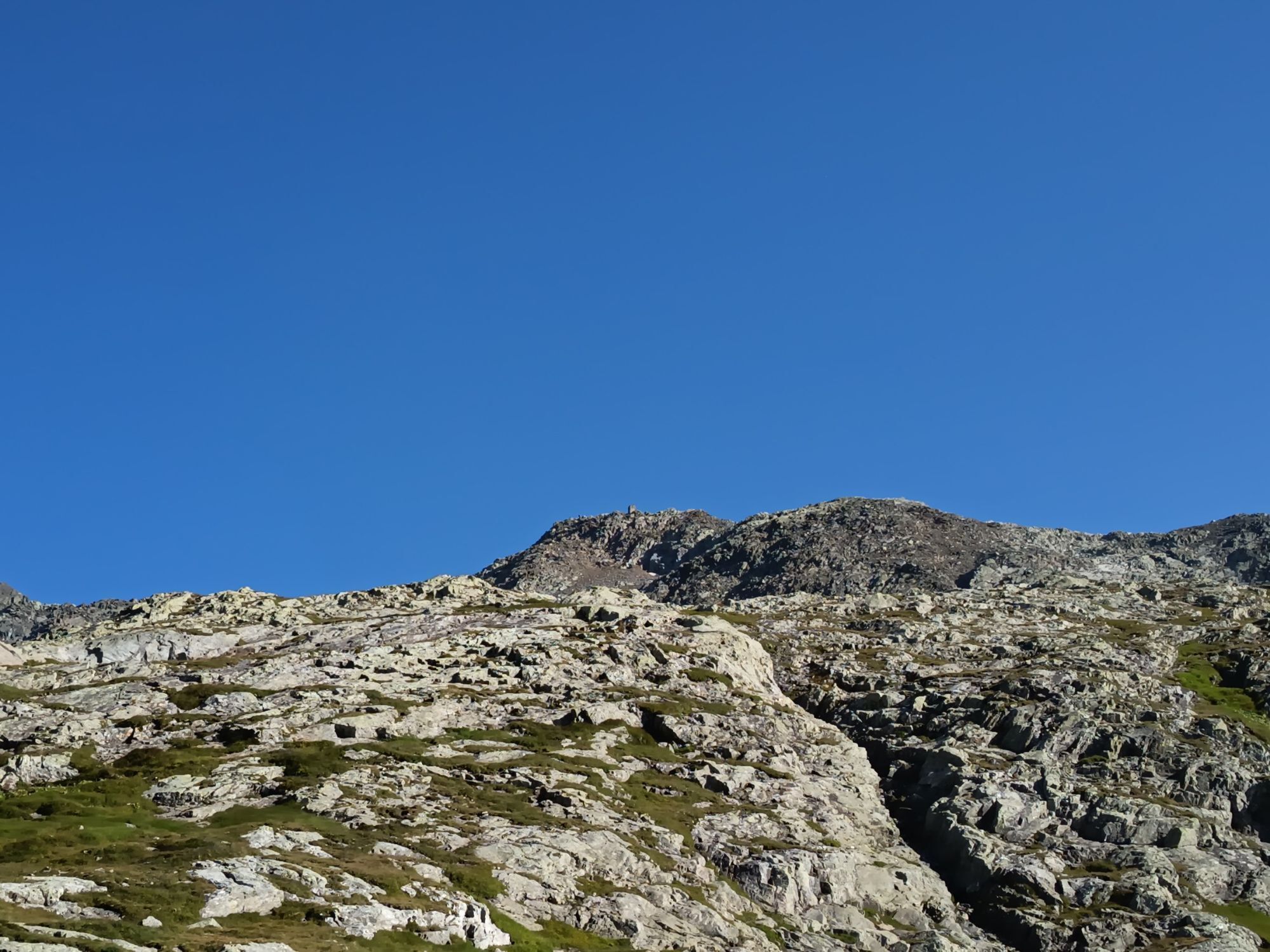
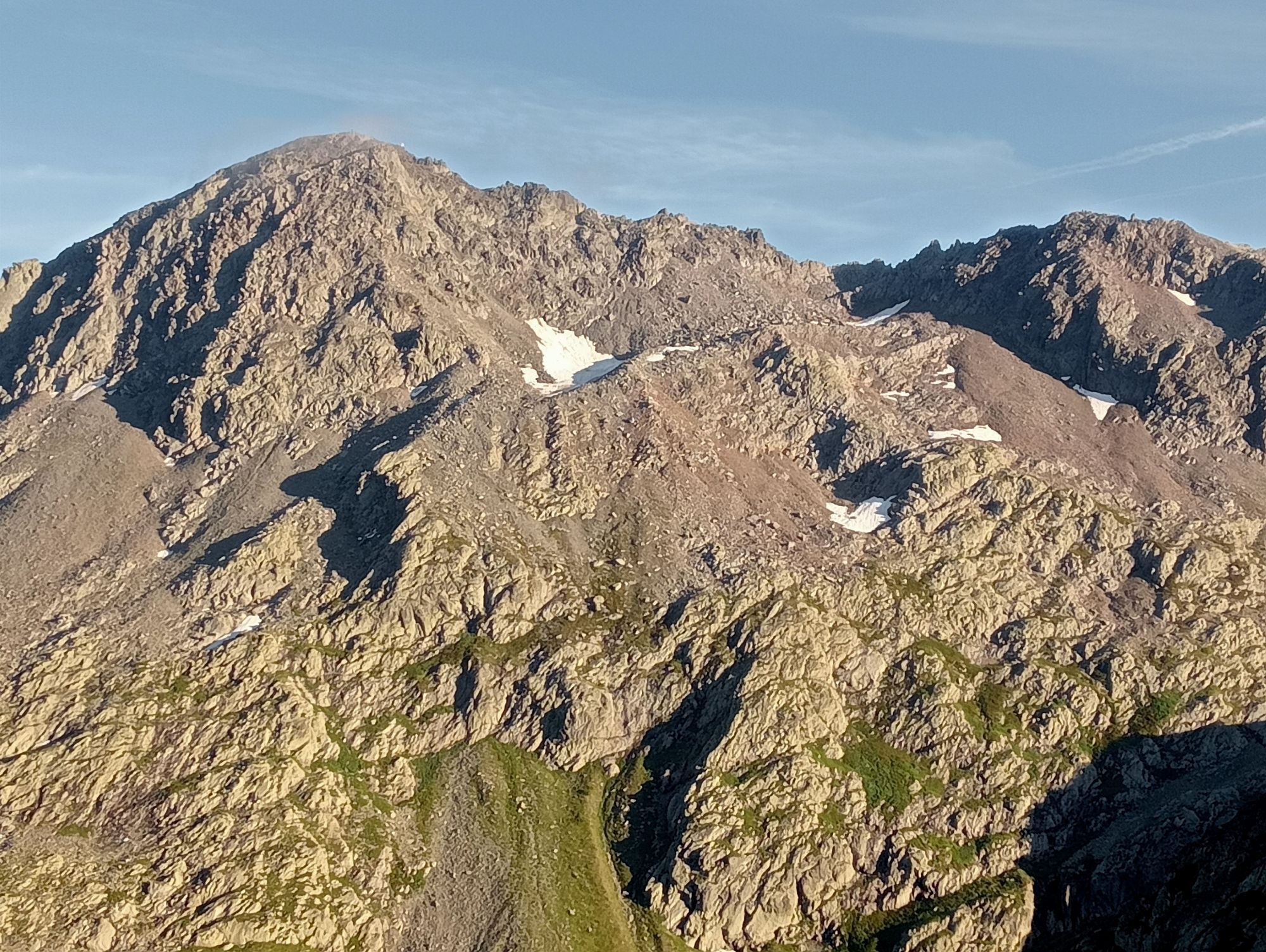
From the pass height of the Great Saint Bernard, the route leads for 100 meters on the Swiss side of the border before the path steeply ascends to the left to the Col des Chevaux at 2714 m a.s.l. Then follows the descent into the side valley Combe de Drône, before the path ascends again to the Col du Bastillon at 2754 m a.s.l.
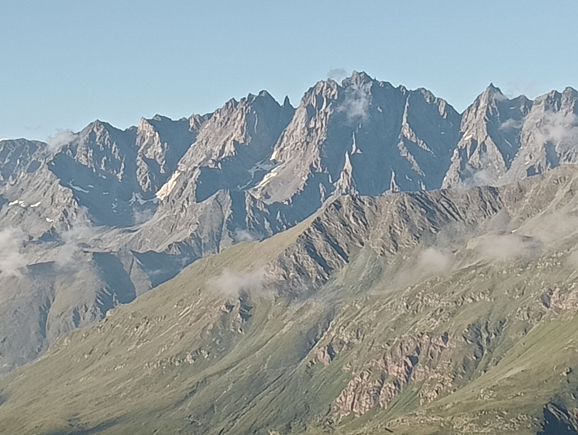
Afterwards, the route approaches the first of the three mountain lakes, the Lacs de Fenêtre. After hiking between the second and third lake, the path leads up again to the Fenêtre de Ferret (2694 m a.s.l.), which lies on the border between Switzerland and Italy. Zig-zagging, it then goes down again to the pass road before the fourth and last ascent to the pass along a path towards the Swiss border is tackled.
Áno
We recommend:
Good footwear Weather-dependent clothing: always carry a waterproof vest Headgear Sunscreen Water bottle Picnic Camera Binoculars (optional) Trekking poles (optional) Printout of the hiking trail (click "Print" to download)For certain hikes:
SwimsuitThe mountains, a place of joy to share and respect. The mountain world is a place to meet and experience unforgettable moments together – whether by bike or on foot. To ensure all users can benefit, it is essential to share this space with respect for nature and agriculture. Respectful behavior allows everyone to enjoy their leisure activities under the best conditions. Inform yourself about recommendations and rules. Assess your own skills and fitness well. Use of the various routes is fundamentally at your own risk.
For all hikes:
Carry a map with you. Download the complete description of the hiking trail with a large-scale map by clicking "Print" at the top right of the page. Use only marked hiking trails and observe all signposts and instructions - for your own safety, to protect grazing animals, and out of respect for wildlife. Close gates after passing through. Behave considerately towards other path users, plants, and animals.For mountain hikes:
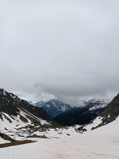
Carry additional sun protection. UV rays at high altitude can be very strong, even in cloudy weather. Plan your hike carefully: consider the required fitness level of all participants, weather forecasts, and seasonal dependencies. Weather conditions in the mountains can change very quickly and without warning. Appropriate clothing and sufficient provisions (food and drink) are very important. In unstable weather, better turn back early.For high alpine hikes:
Inform your family about your hiking route. If possible, avoid hiking alone. Do not go onto glaciers without a mountain guide. Observe warning signals indicating dangers at riverbanks, along water courses below dams and reservoirs: water levels can rise quickly and without warning.A9 motorway, exit 22 (Great Saint Bernard). Follow the signage Grand St-Bernard to the pass height.
Regular train connections to Martigny, then the St-Bernard Express towards Le Châble. Change in Sembrancher to the regional train to Orsières. There change to the post bus to the Great Saint Bernard. Timetables for trains and post buses can be found at sbb.ch.
Parking available at the pass height.
View this route on SchweizMobil:
No. 210 Les cols du Grand-St-BernardMore information about the destination:
Pays du St-BernardThe Saint Bernard PASS includes, besides the regional public transport, also entrance to the Saint Bernard breeding and the museum at the hospice.
Obľúbené výlety v okolí
-
4,7
Monte Flassin
svetloSkitour 14,6 km -
5,0
Super mooi
ťažkéTuristika 11,1 km -
Tour du Mont-Blanc Bike: Champex - Grand Col Ferret
ťažkéMountainbike 27,2 km -
5,0
Via Francigena - vom grossen Sankt Bernhard nach Rom
strednáTuristika 23,6 km -
5,0
Grand Chenalette, Pointe de Drone Rundwanderung
ťažkéTuristika 6,01 km -
liconi 28-02-2022 Valle d'Aosta, Italie
ťažkéSkitour 12,3 km -
Through the original valley "La combe de l’A"
ťažkéTuristika 21,2 km -
testa di fra
strednáSkitour 4,43 km -
5,0
Goldtoni - Alpenbogen A064 Col du Grand Saint Bernard-Cerellaz
ťažkédiaľková pešia trasa 33,2 km -
5,0
Goldtoni - Alpenbogen A063 Relais d'Arpette-Col du Grand Saint Bernard
strednádiaľková pešia trasa 33,3 km
Turistika a stopovanie


Nenechajte si ujsť ponuky a inšpiráciu na ďalšiu dovolenku
Vaša e-mailová adresa bol pridaný do poštového zoznamu.