







Circular hike to Cabane des Aiguilles Rouges and Lac Bleu
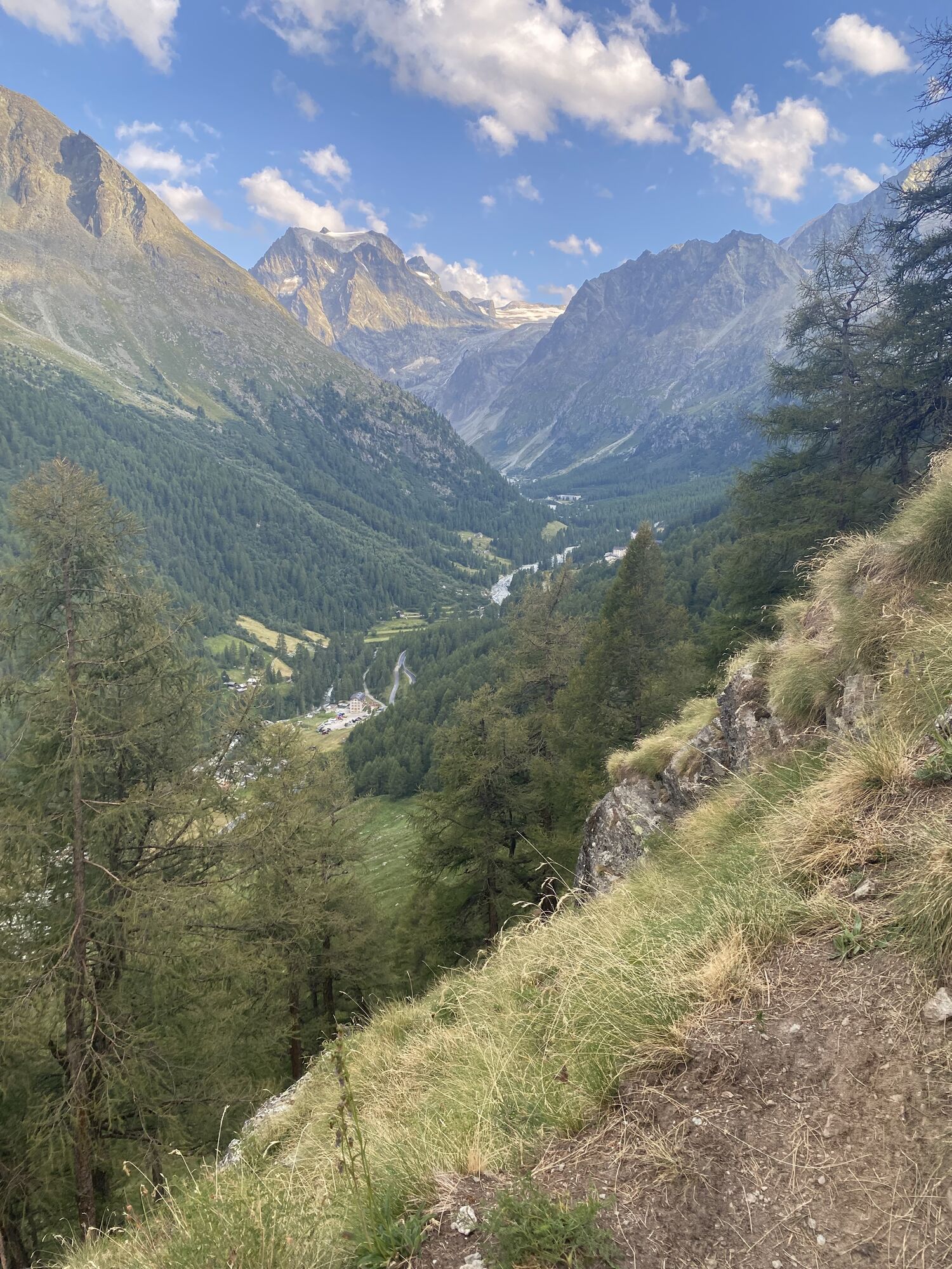
This hike above Arolla promises an exciting experience in alpine terrain with spectacular views, fascinating geology, and a rich alpine flora.
The hike begins in Arolla, the village named after the Arolla...
This hike above Arolla promises an exciting experience in alpine terrain with spectacular views, fascinating geology, and a rich alpine flora.
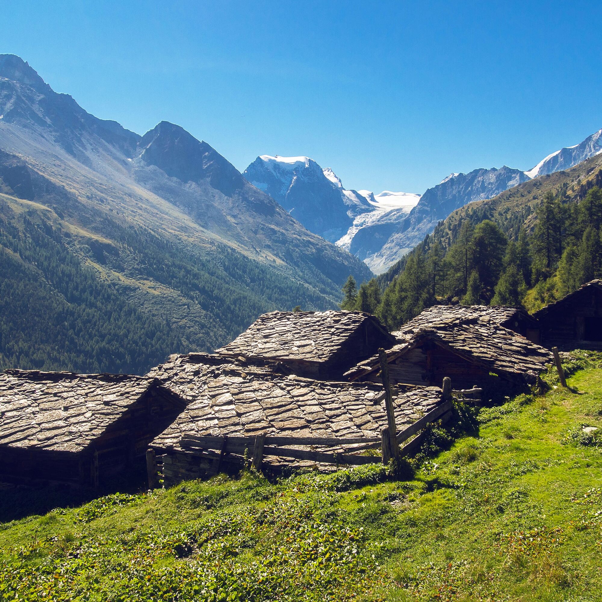
The hike begins in Arolla, the village named after the Arolla pine (French = arolle). The aromatic wood of the tree is said to help with falling asleep: beds are made from the wood of the tree, and the chips generated are often used as pillows. The tree spreads thanks to the nutcracker bird. The bird opens the Arolla pine cones with its beak and stores the seeds in the ground as a winter supply. Occasionally, it forgets the location of its storerooms – thus some seeds slowly develop into trees.
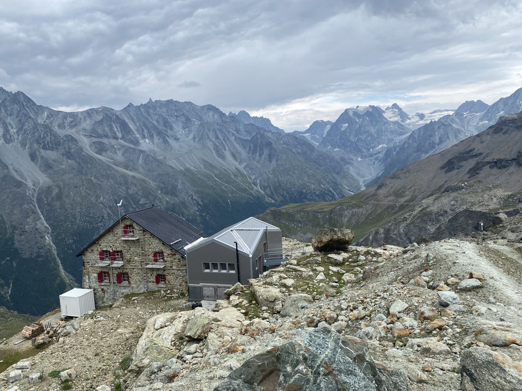
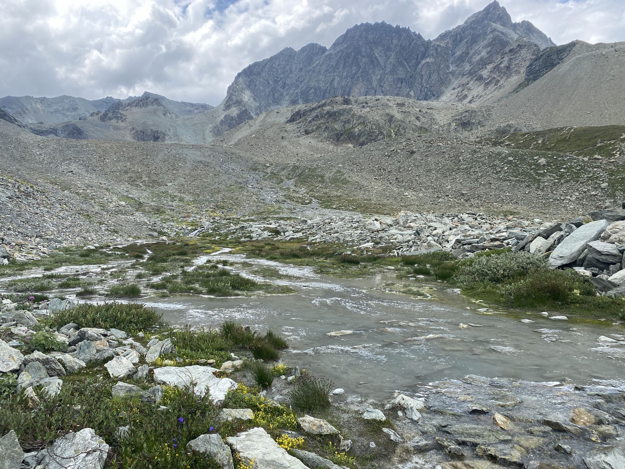
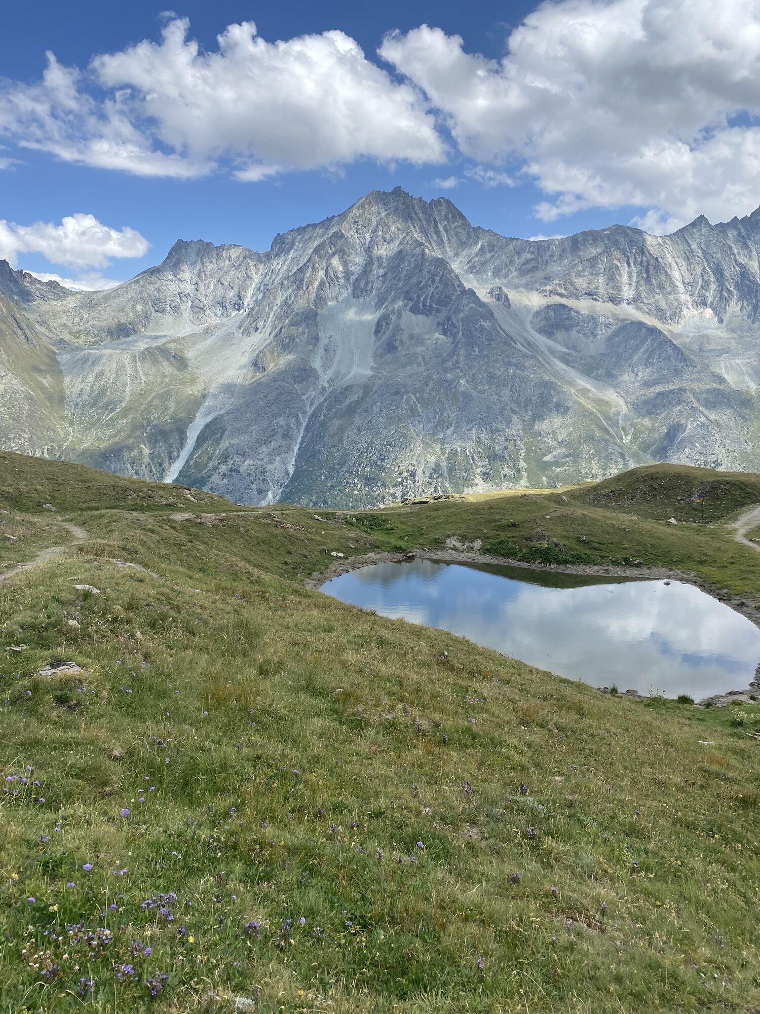
The path leads upwards from the village and soon passes the tree line, where the ascent continues towards the Cabane des Aiguilles Rouges hut. The hut lies at the foot of the impressive mountain range "Aiguilles Rouges d’Arolla" and offers guests a breathtaking view of the valley.
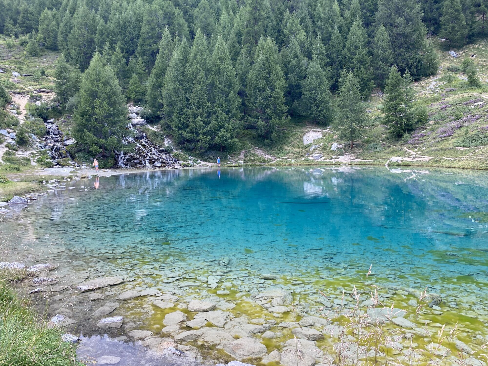
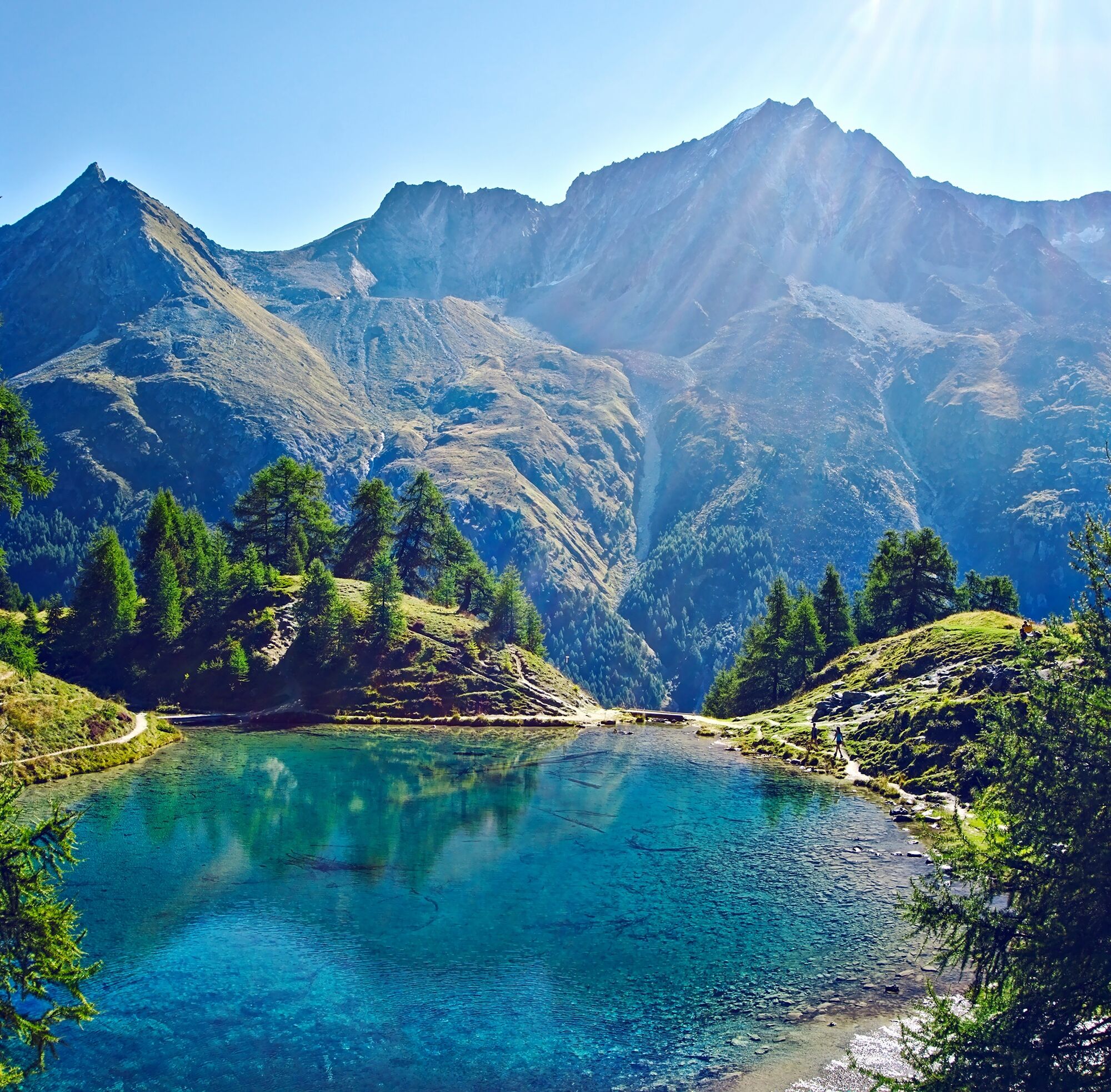
A little further down you will reach the Lac Bleu surrounded by Arolla pines. A spring, fed with glacier water, is located just above the mountain lake. The water flows directly into the blue lake via a waterfall.
The last part of the hike back to Arolla leads over a geological theme trail that showcases the diversity of rocks and minerals in the valley. Visitors have access to a free map or app «GéoGuide Val d’Hérens». The tourism office in Arolla also provides additional map material.
Highlights of the hike:
Fragrant Arolla pine & larch forests. Cabane des Aiguilles Rouges with genuine hospitality and spectacular views. The mountain lake Lac Bleu with its striking blue color and impressive waterfall.
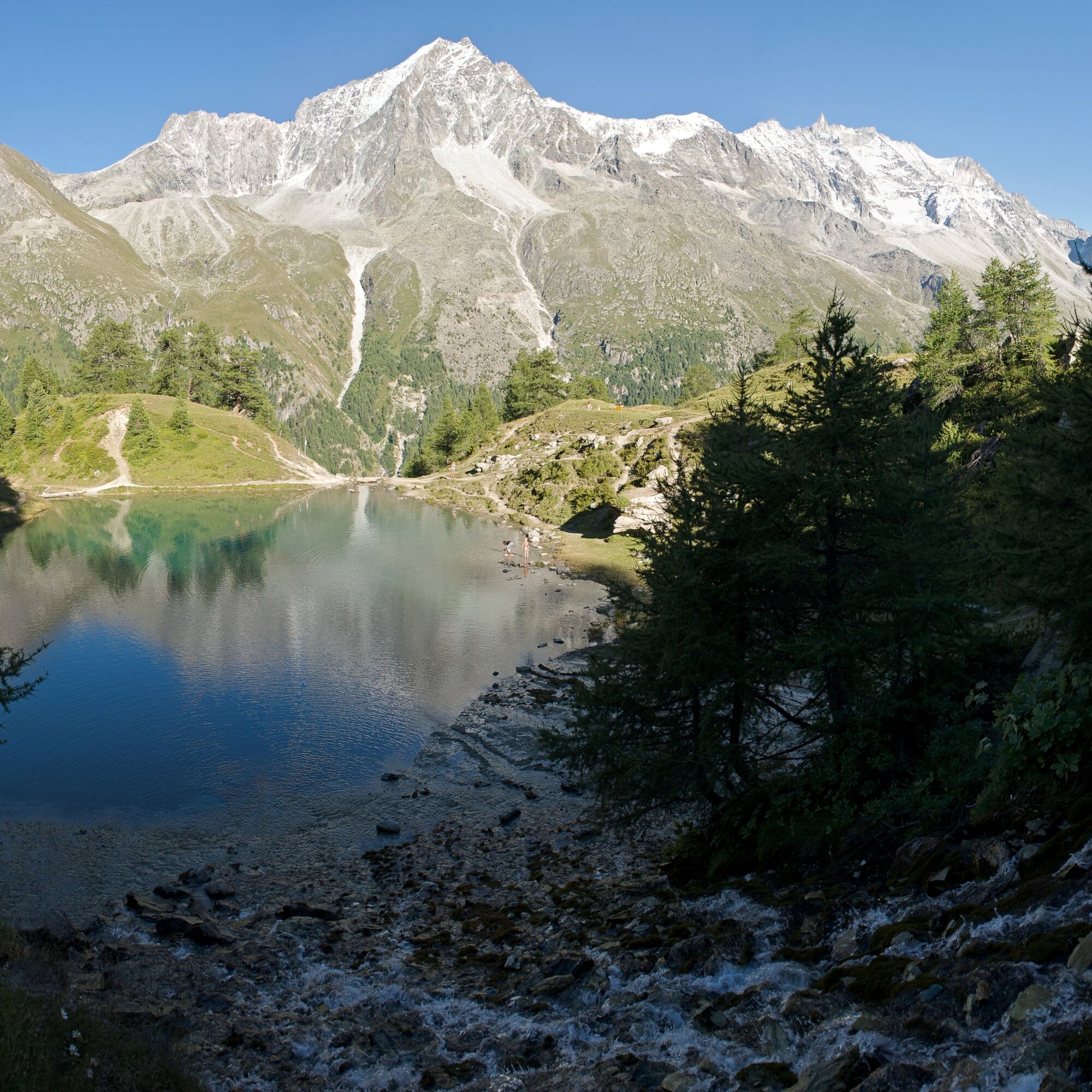

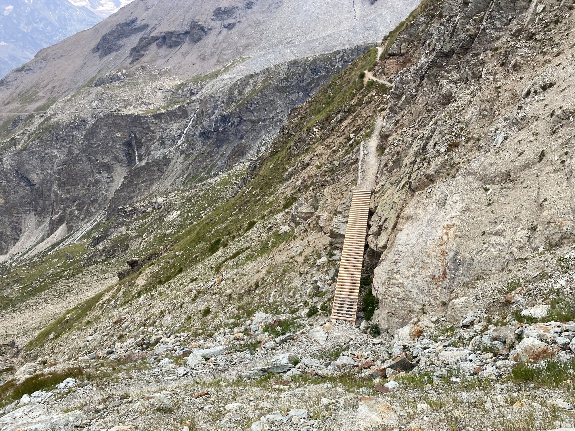
The path begins with a zig-zag ascent from the village of Arolla and then steadily climbs over 800 metres in altitude to the Cabane des Aiguilles Rouges hut at 2821 m above sea level. A small refreshment in the hut is just right here. After another short ascent, the steep descent towards Lac Bleu begins immediately. The path leads back to Arolla along the tree line in a southerly direction.
The last section from Lac Bleu to Arolla follows the excursion B of the book «Géoguide Val d’Hérens»
Áno
We recommend:
Good footwear Weather-dependent clothing: always carry a waterproof vest Headwear Sunscreen Water bottle Picnic Camera Binoculars (optional) Trekking poles (optional) Printed map of the hiking trail (click "Print" to download)For certain hikes:
SwimsuitThe mountains, a place of joy to share and respect. The mountain world is a place to meet and experience unforgettable moments together – whether by bike or on foot. So that all users can benefit from this, it is essential to share this space with respect for nature and agriculture. Respectful behavior allows everyone to carry out their leisure activities under the best conditions. Inform yourself about recommendations and rules. Assess your own abilities and fitness well. Using the various routes is always at your own risk.
For all hikes:
Carry a map with you. Download the complete description of the hiking trail with a large-scale map by clicking on "Print" at the top right of the page. Use only marked hiking trails and observe all signposts and instructions – for your own safety, to protect grazing animals and out of respect for wildlife. Close gates after passing through. Behave considerately towards other trail users, plants and animals.For mountain hikes:
Carry additional sun protection. UV rays at high altitudes can be very strong, even in cloudy weather. Plan your hike carefully: take into account the required fitness level of all participants, weather forecasts and seasonal conditions. Weather conditions can change very quickly and without warning in the mountains. Appropriate clothing and sufficient provisions (food and drink) are very important. In unsettled weather, turn back early.For high alpine hikes:
Inform your family about your hiking route. Avoid going alone if possible. Do not go on glaciers without a mountain guide. Observe warning signs indicating dangers at riverbanks, along watercourses below dams and reservoirs: water levels can rise quickly and without warning.Motorway A9, exit 27 (Sion-East). Then follow the signs to Evolène / Les Haudères and Arolla.
Regular train connections from all over Switzerland to Sion. From there, the post bus goes via Les Haudères (change required) to Arolla. Timetables for trains and post buses can be found at sbb.ch.
Several public parking spaces are available in the village of Arolla. Follow the local parking guidance system in Arolla.
More information about the destination:
ArollaThe Arolla pine trail near the Grand Hotel Kurhaus in Arolla tells more about the region's typical Arolla pine forests through information panels. A detour to the approximately 300-metre long loop is worthwhile.

 Získajte prehľad
Vždy naživo na mieste s viac ako 9 500 webovými kamerami. bergfex Ako používateľ Pro si teraz môžete pozrieť príslušné webové kamery pre mnohé zájazdy v aplikácii zájazdy z. Môžete si tak priamo prezerať aktuálne podmienky.
Získajte prehľad
Vždy naživo na mieste s viac ako 9 500 webovými kamerami. bergfex Ako používateľ Pro si teraz môžete pozrieť príslušné webové kamery pre mnohé zájazdy v aplikácii zájazdy z. Môžete si tak priamo prezerať aktuálne podmienky.



Obľúbené výlety v okolí
-
5,0
Sentier des bouquetins
strednáTuristika 8,73 km -
4,7
Cleuson Dam
strednáTuristika 11,5 km -
Tour du Lac de Moiry
strednáTuristika 13,4 km -
4,0
Sentier des Chamois
ťažkéTuristika 11,6 km -
4,5
Moiry via ferrata
ťažkéVia ferrata 2,93 km -
5,0
Zinal - Cabane du Petit Mountet
strednáTuristika 12,0 km -
5,0
From Cabane Brunet to Cabane FXB Panossière
strednáTuristika 6,87 km -
4,5
Tour of Val d’Anniviers: Zinal–Grimentz (Stage 3)
strednáTuristika 14,5 km -
3,0
Via ferrata in the Mauvoisin Gorge
strednáVia ferrata 1,77 km -
Arolla - Vignettes
strednáSkitour 5,04 km
Turistika a stopovanie


Nenechajte si ujsť ponuky a inšpiráciu na ďalšiu dovolenku
Vaša e-mailová adresa bol pridaný do poštového zoznamu.





