



High trail Almagelleralp

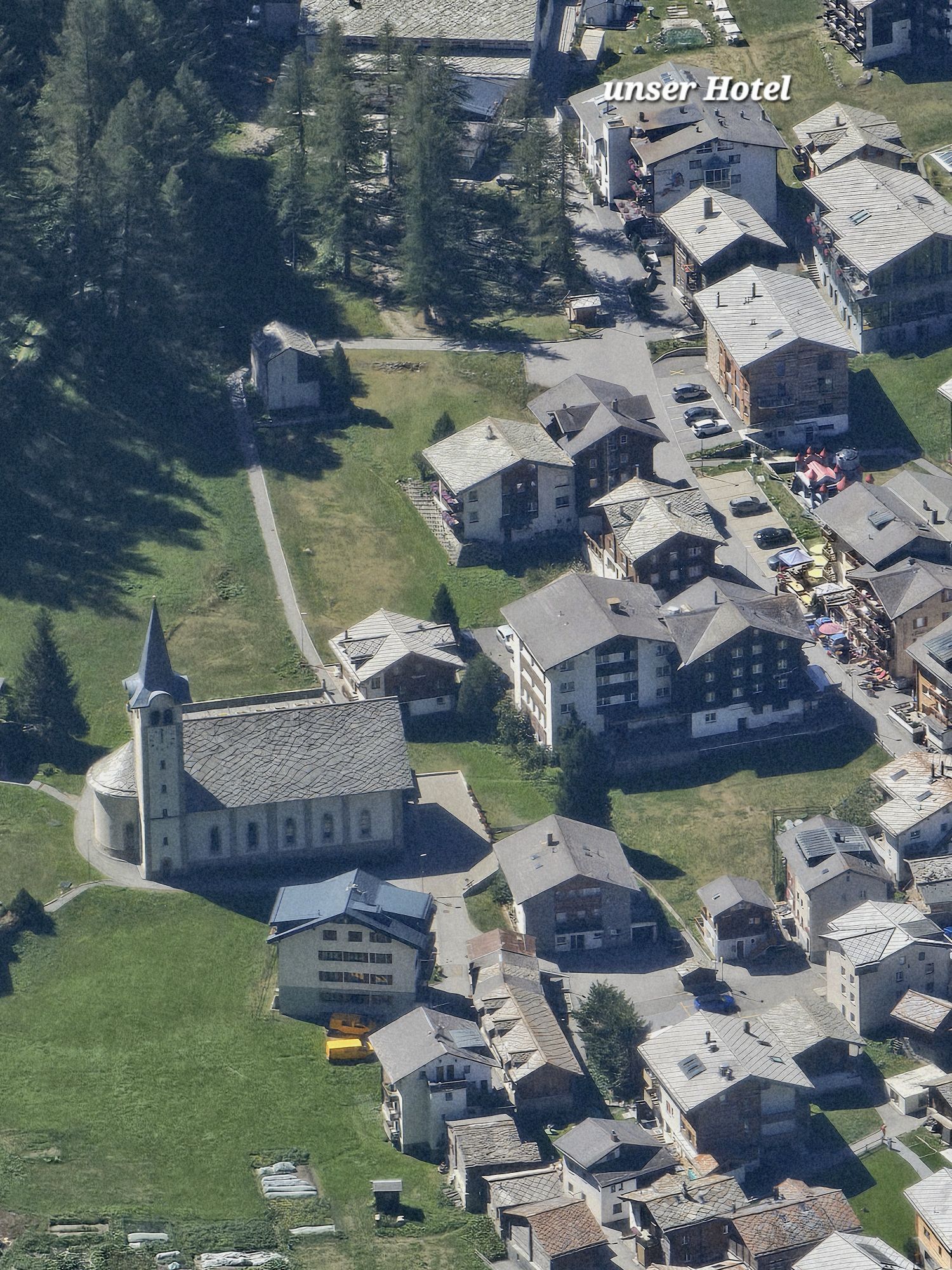



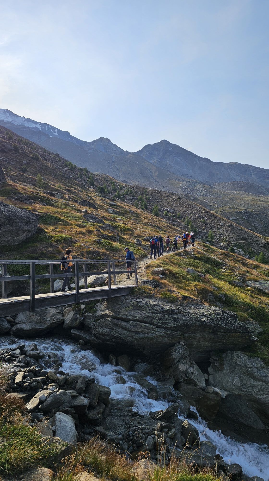
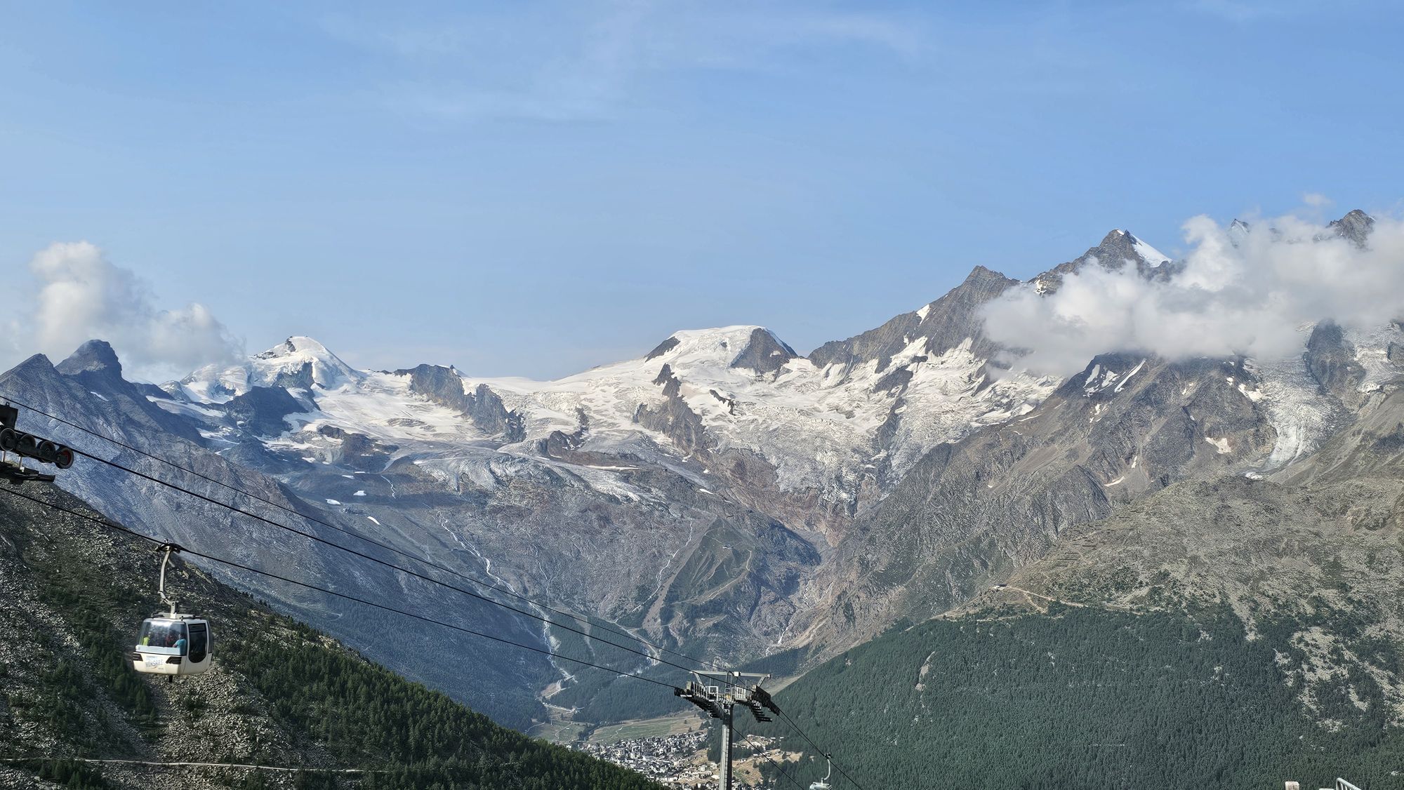
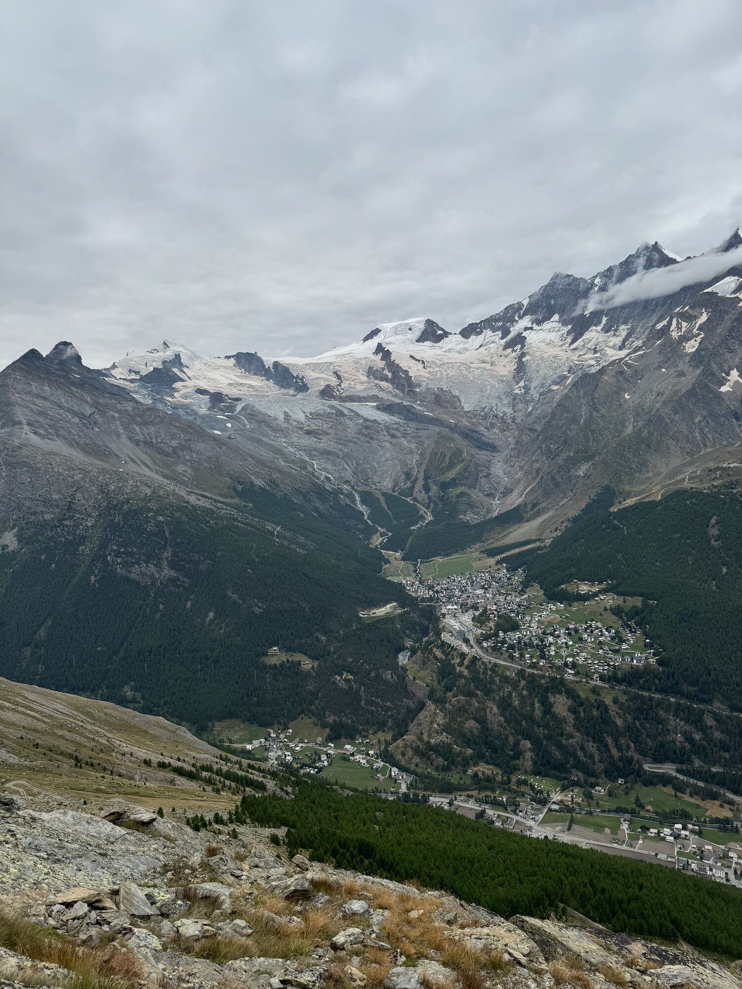
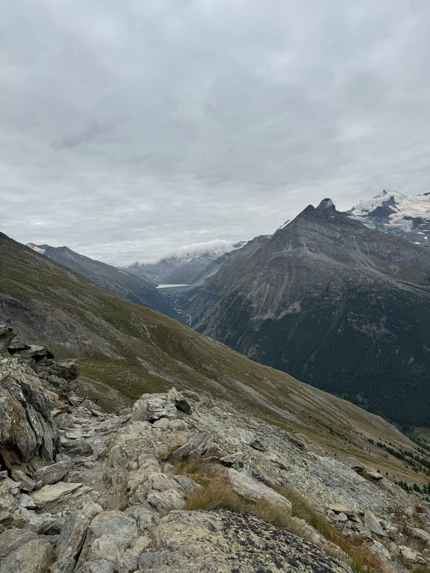
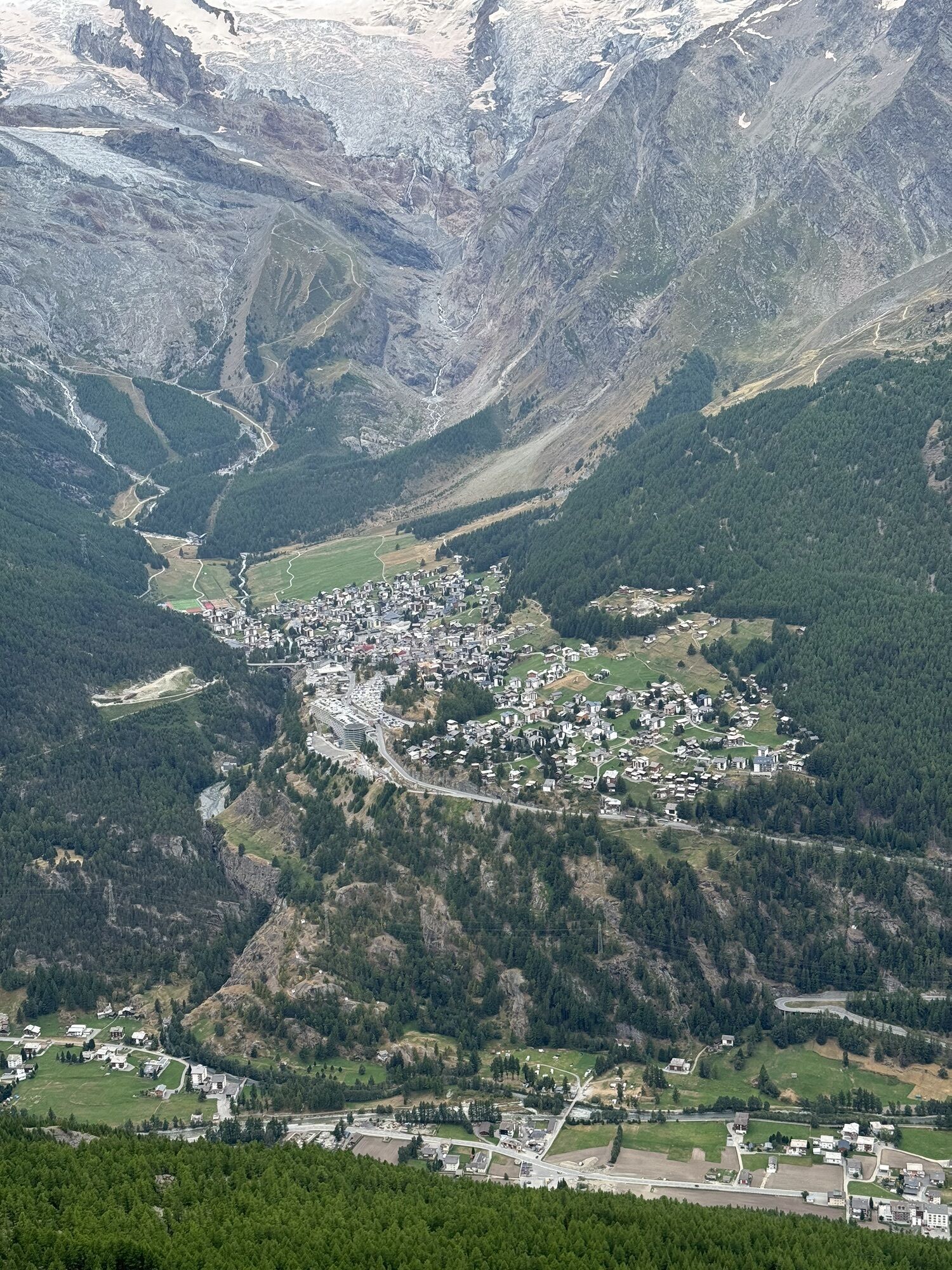
This uplifting hike combines breathtaking views and pristine nature with a great adventure. At the beginning, along the way, and at the end of the hike, mountain restaurants invite you to take a short...
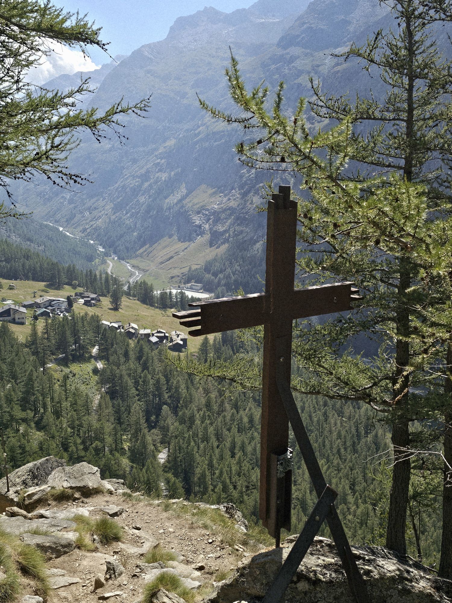
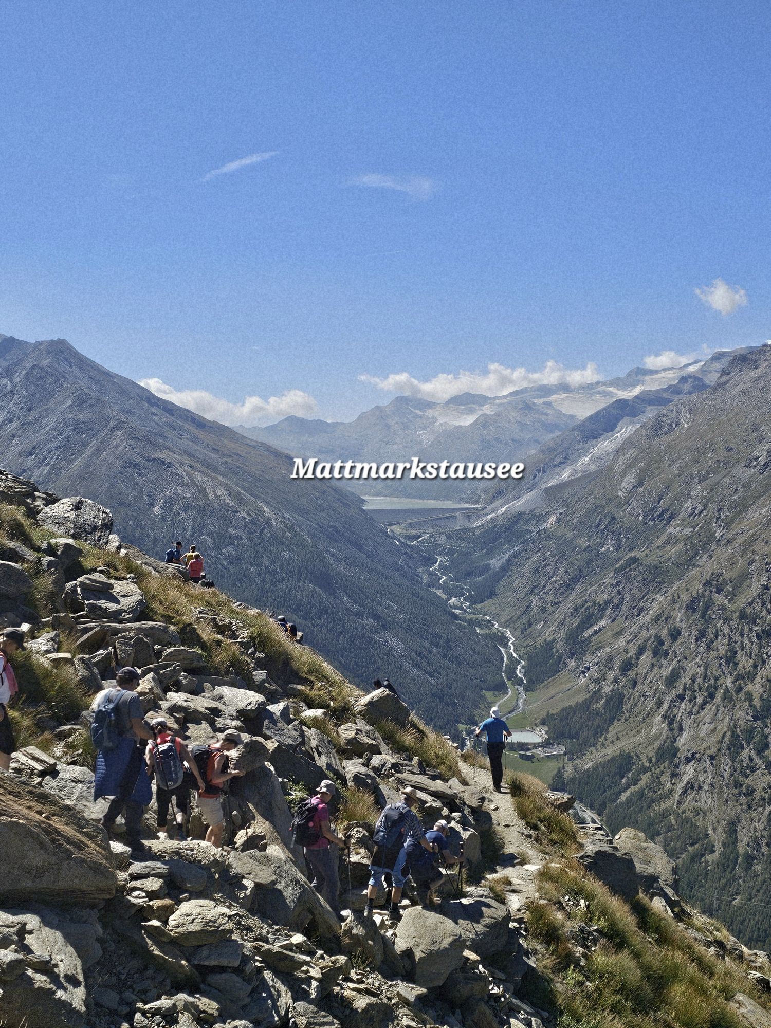
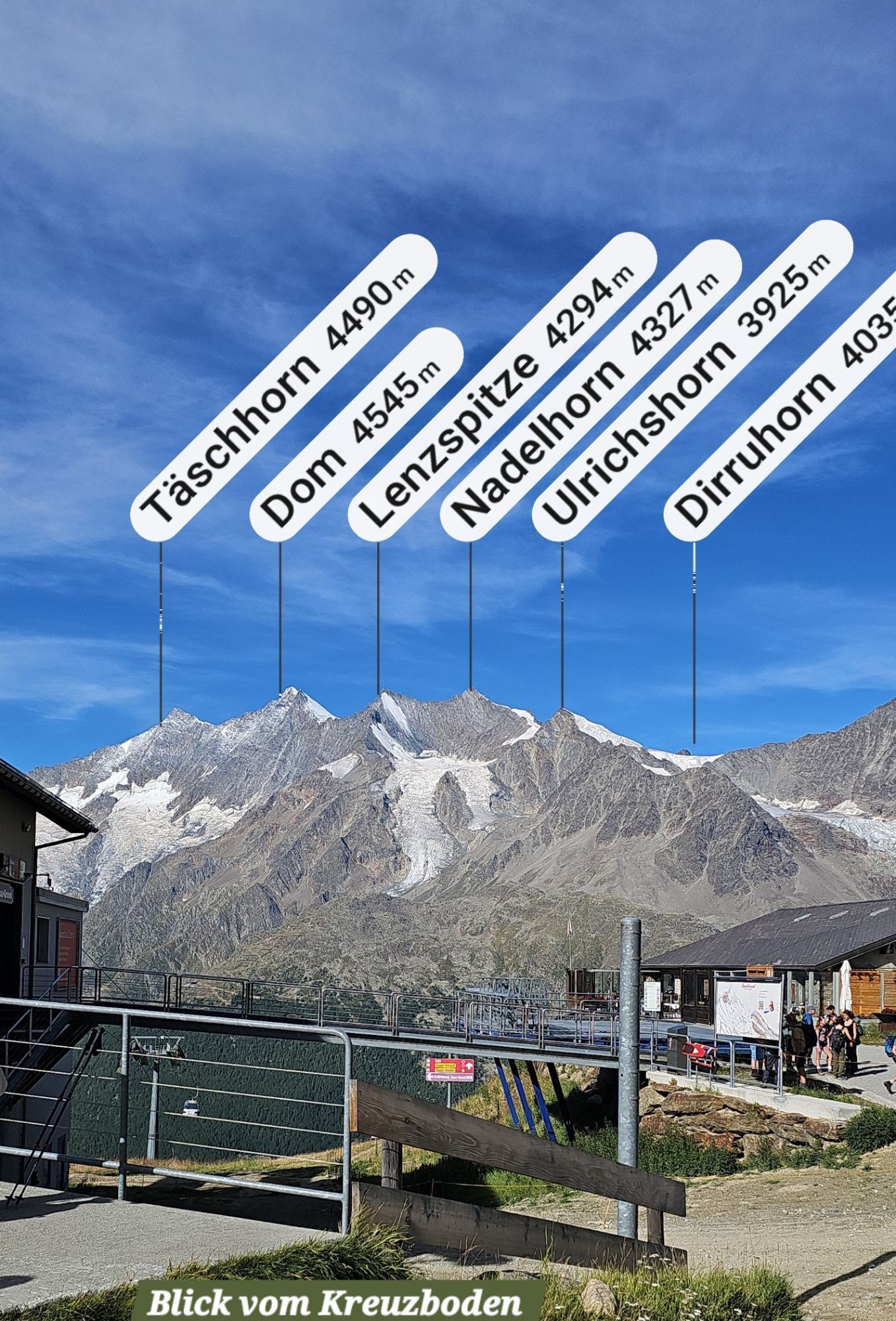
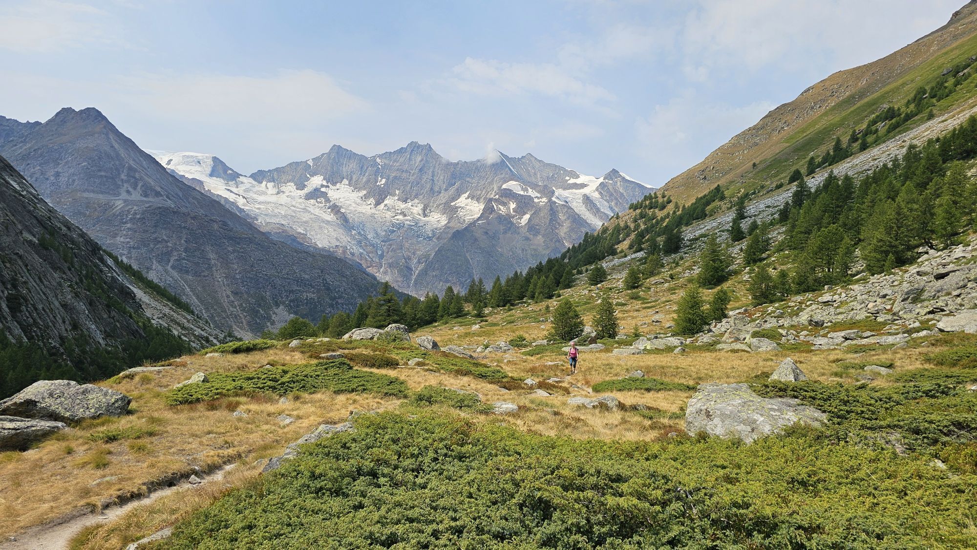
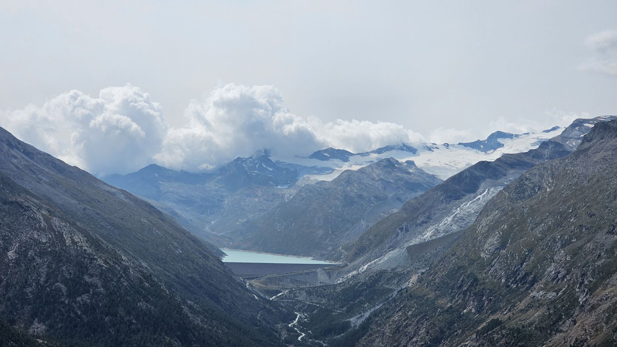
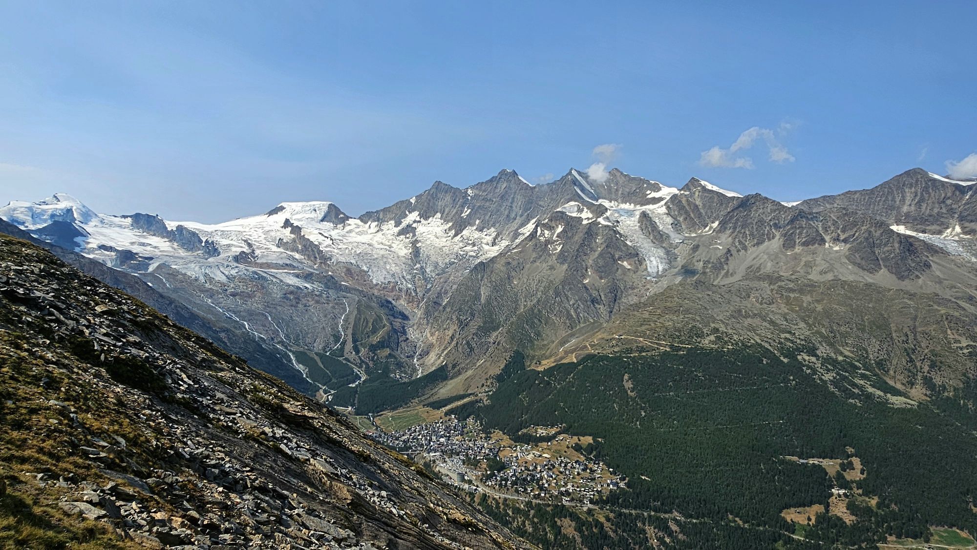
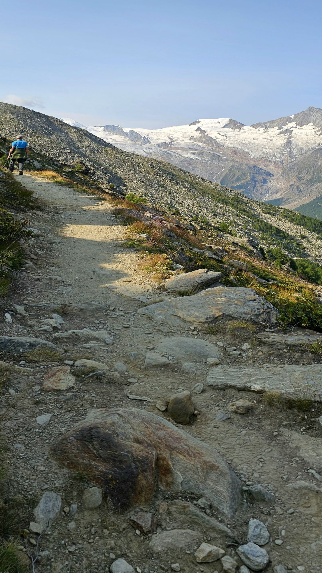
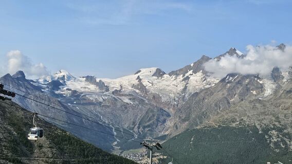
The hike starts at the gondola station Kreuzboden, where there is a mountain lake and an adventure playground. The first half of the route leads south along the Saastal at about 2400 to 2550 m above sea level. The views of the glaciated Mischabel massif with the Dom (4545 m above sea level), the highest peak entirely on Swiss soil, are enchanting. At the point where the trail crosses the "Triftgrätji" ridge, the probably most beautiful view of the hike awaits: the whole valley from the Mattmark reservoir down to Stalden is in sight.
The first section of the hike up to the "Triftgrätji" follows the alpine flower promenade (from Kreuzboden to Saas-Grund), which presents around 240 different flower species including edelweiss and gentian.
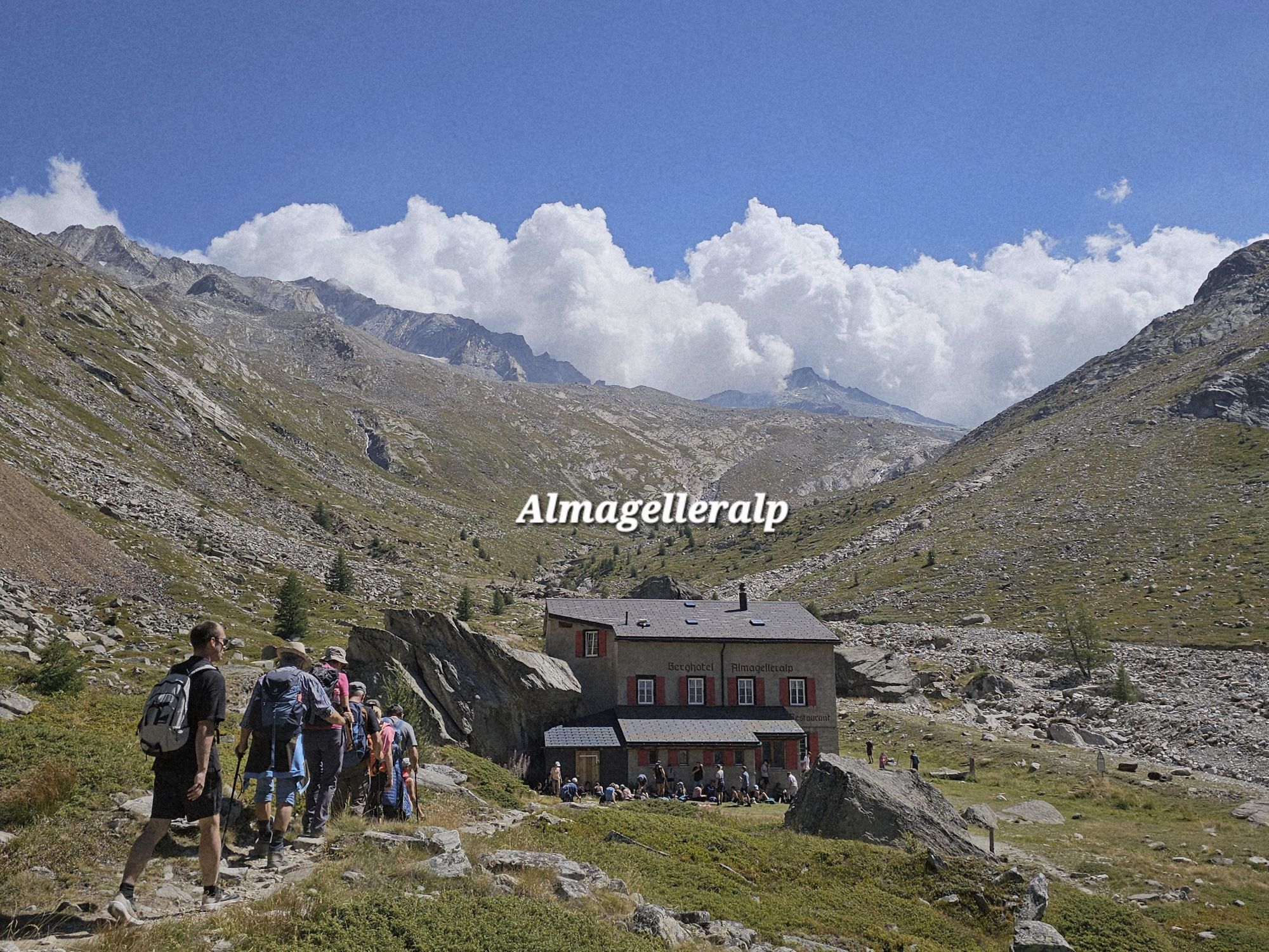
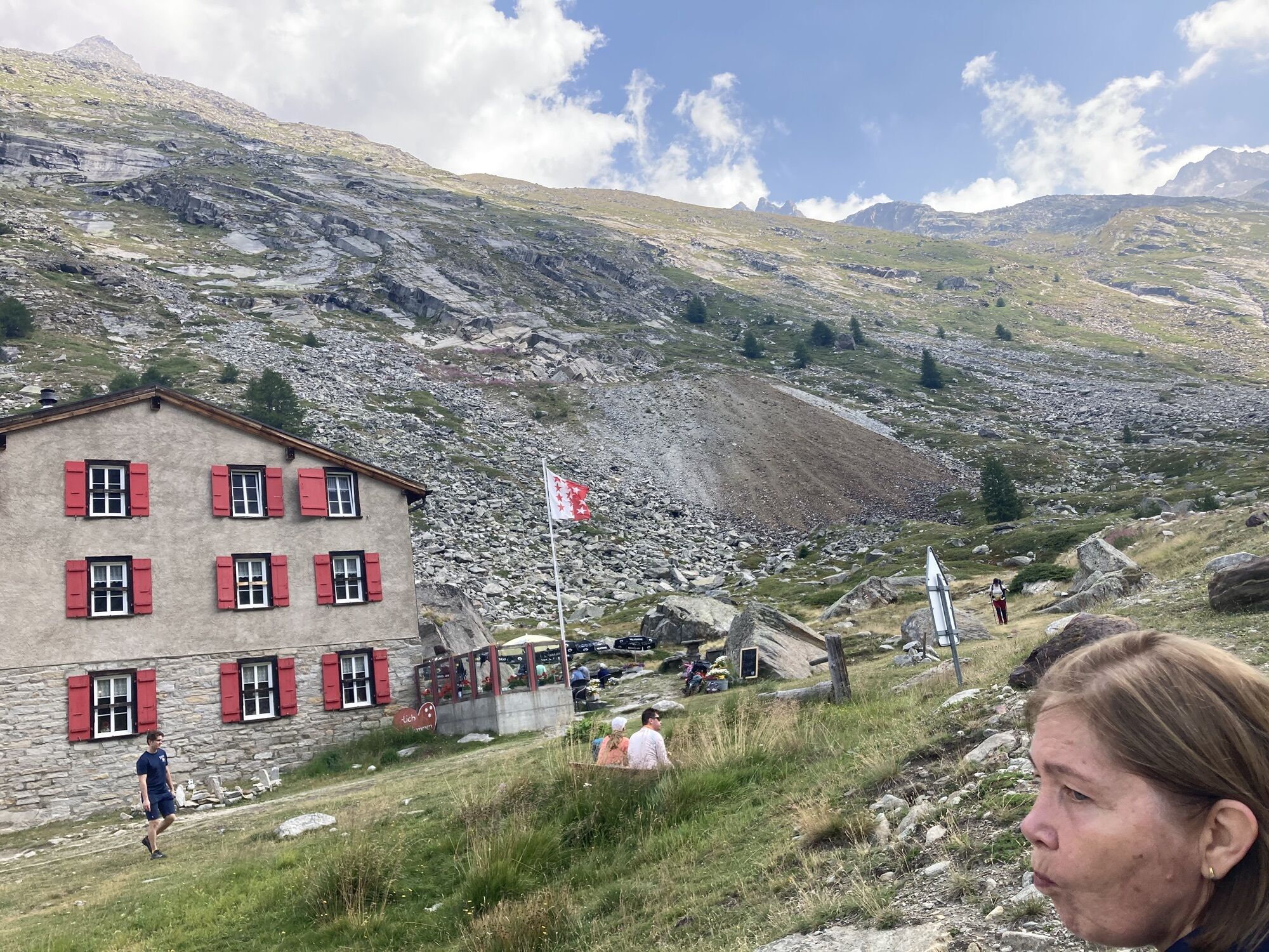
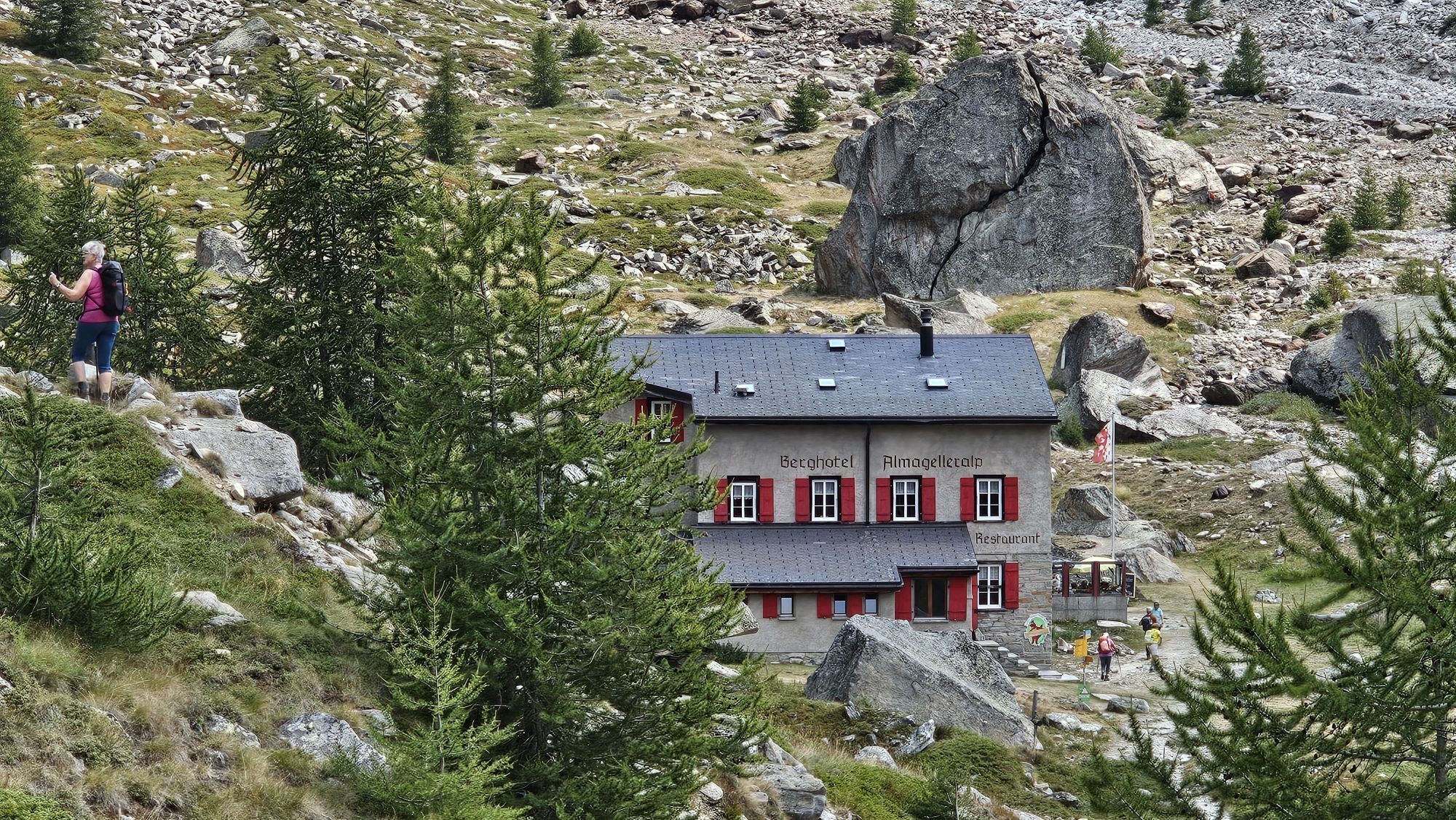
Below the ridge, the trail first continues south before turning right into the wild Almagell valley. Here you can expect untouched nature and incredible tranquility. The mountain hotel surrounded by flower-covered meadows is ideal for a short break.
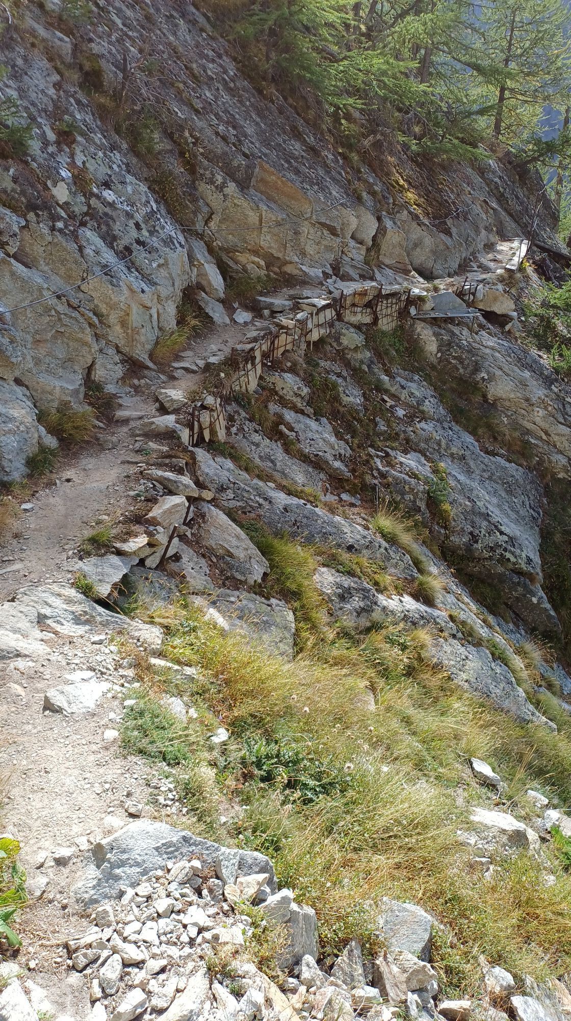
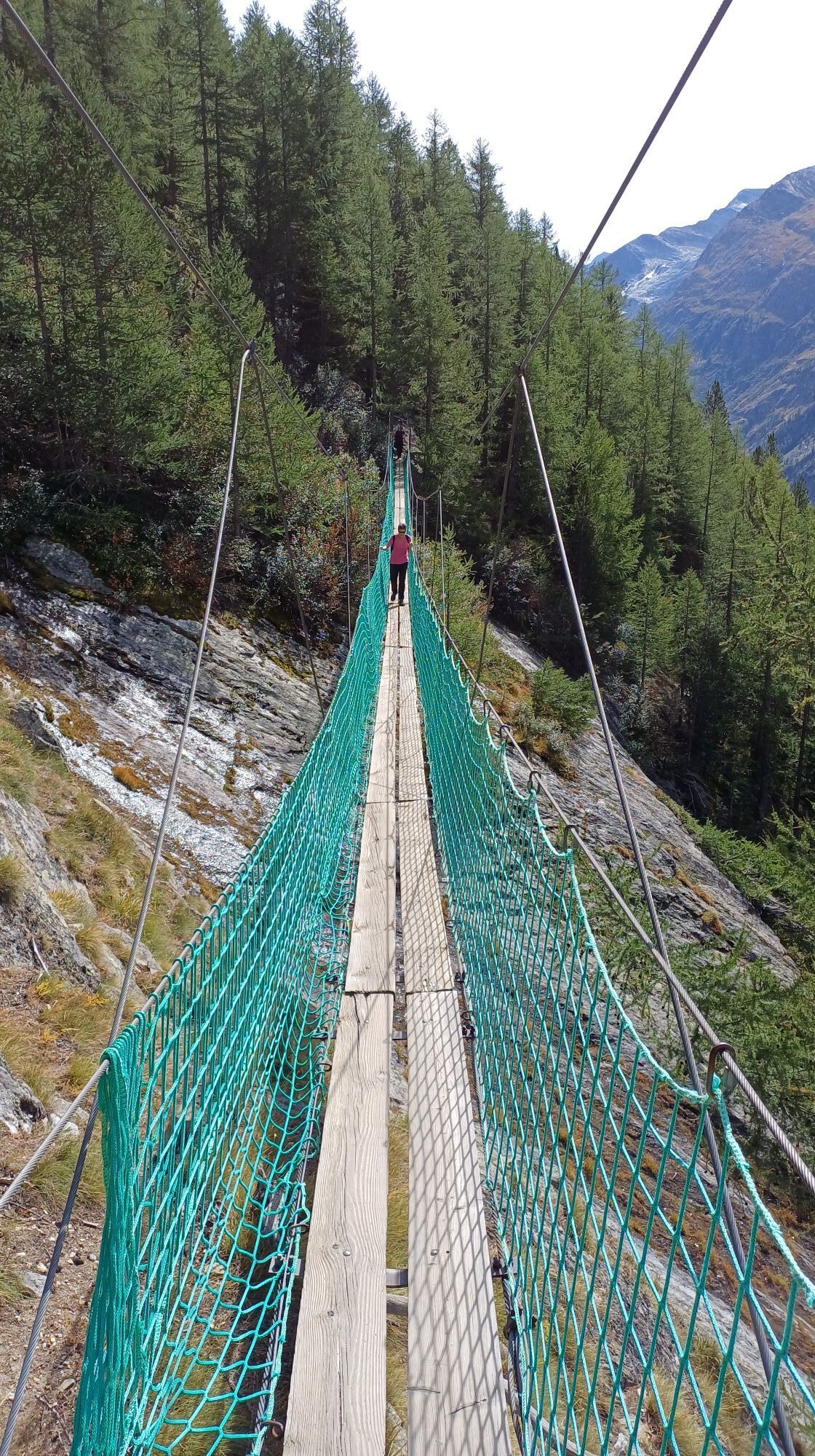
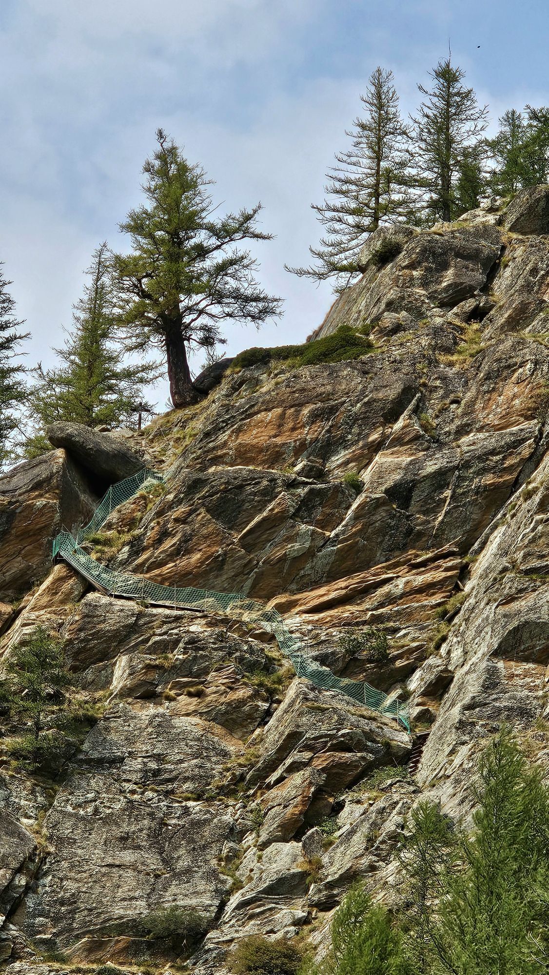
Our route then leads downstream before the great highlight of the hike awaits southwards: the Almageller adventure trail. The trail runs along the steep and rocky slopes of the Almagellerhorn. Exposed rock passages secured with handholds, railings, and nets await here. Surefootedness and freedom from fear of heights are required. After two suspension bridges of 45m and 60m length, the route ends with an almost vertical descent over the rock wall.
Highlights of the hike:
High trail with spectacular views of the Saastal and the glaciated peaks Numerous alpine flowers and pristine nature along the hike Adventure trail with two dizzying suspension bridges
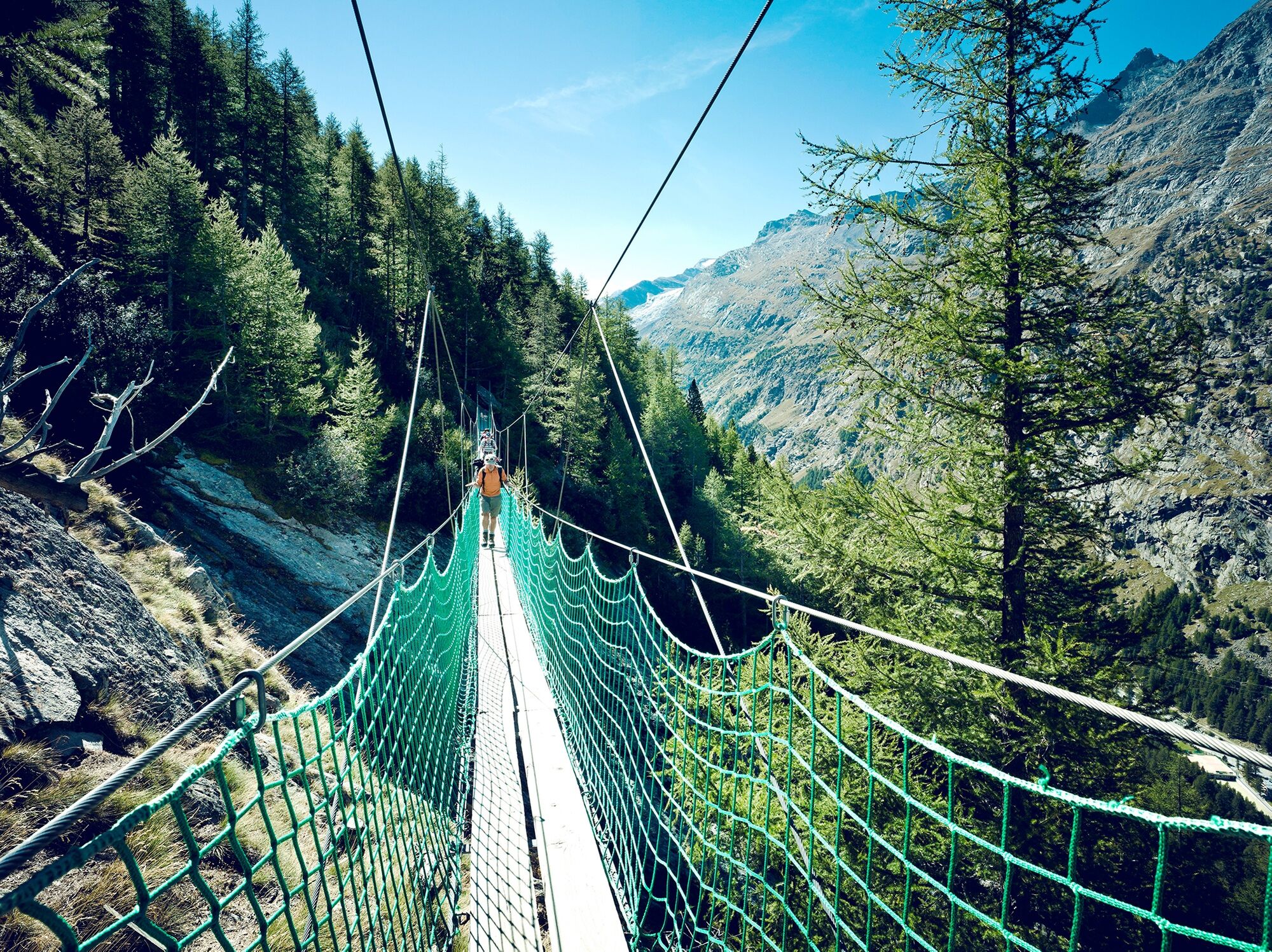
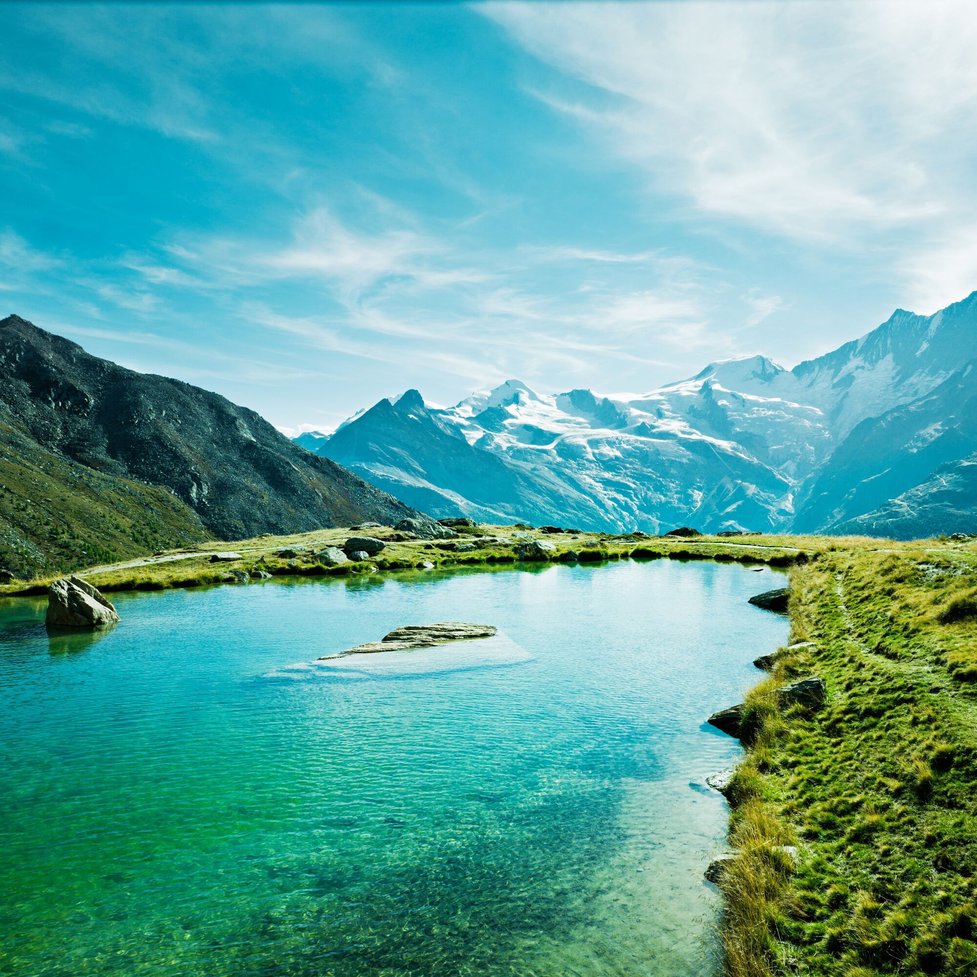
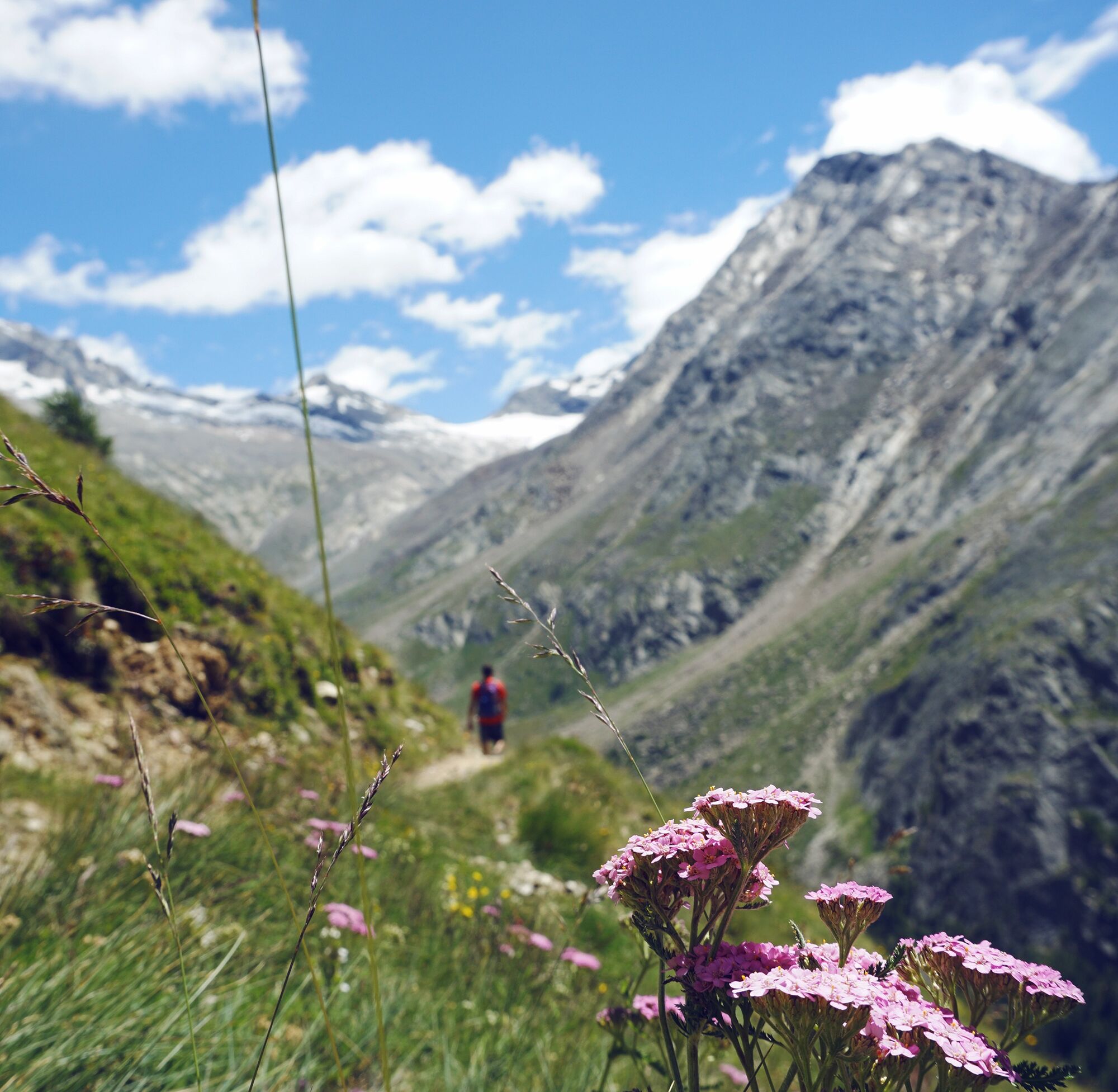
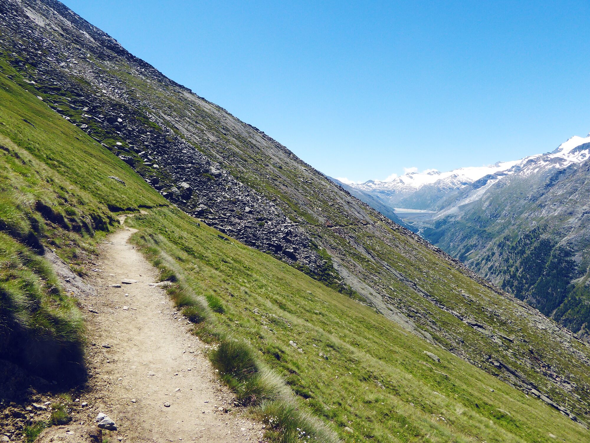
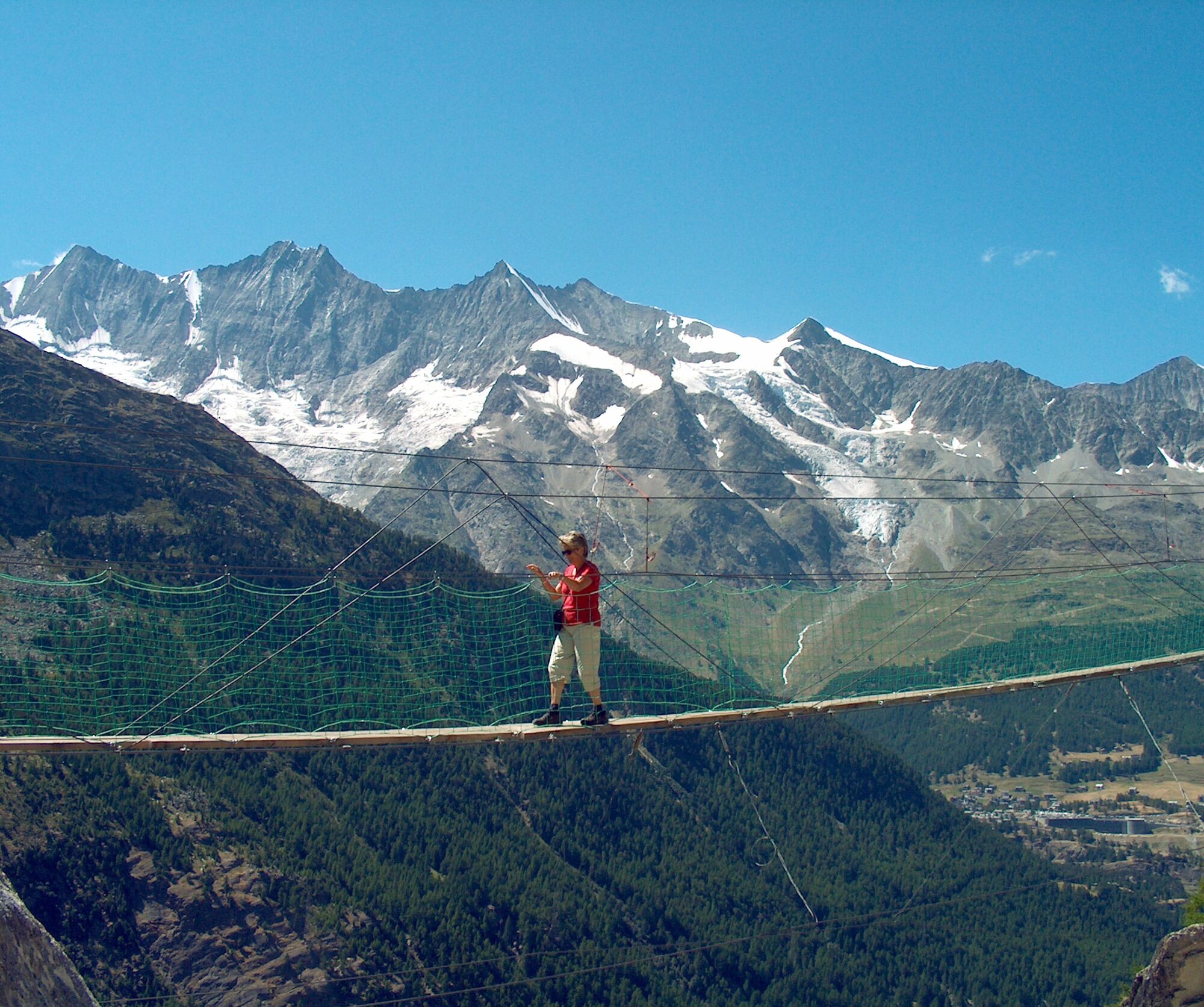
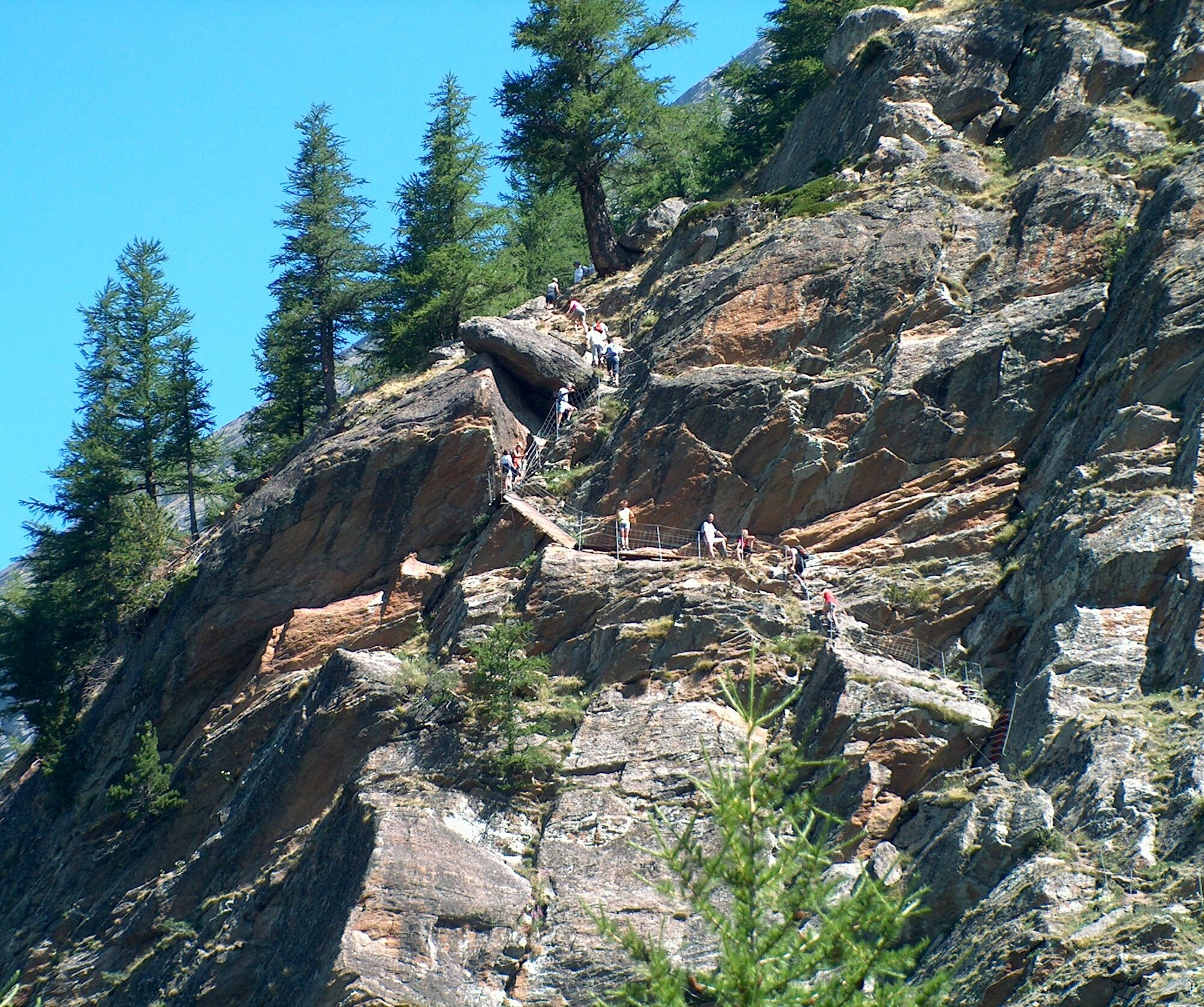

The route starts at Kreuzboden and takes hikers at 2500 meters elevation with a view of the Mischabel range through the Saastal. While the path circles the ridge of Triftgrätji, you can enjoy the panorama over the valley up to the Mattmark dam and discover the variety of alpine flowers. The trail continues south before descending into the Almagell valley – a true jewel with its untouched nature. Afterwards, it follows the river and reaches the highlight: the Saas-Almagell adventure trail. This crosses the steep slopes of the Almagellerhorn and features some exposed sections secured with grips, railings, and nets. This part is for hikers without fear of heights. After crossing the two suspension bridges of 45 and 60 meters in length, the trail ends with an almost vertical path along the rock face. If you prefer a less exposed route, you can turn right at the adventure trail junction towards Saas-Almagell.
Áno
Áno
Áno
For certain hikes:
SwimsuitFor all hikes:
Carry a map. Download the complete hiking trail description with a large-scale map by clicking "Print" at the top right of the page. Use only marked hiking trails and observe all signs and instructions – for your own safety, to protect grazing animals, and out of respect for wildlife. Close gates after passing through. Be considerate of other trail users, plants, and animals.For mountain hikes:
Carry additional sunscreen. UV rays at high altitudes can be very strong, even in cloudy weather. Plan your hike carefully: take into account the required fitness level of all participants, weather forecasts, and seasonal dependencies. Weather conditions in the mountains can change very quickly and without warning. Appropriate clothing and sufficient provisions (food and drink) are very important. In bad weather, it is better to turn back early.For high alpine hikes:
Inform your family about your hiking route. If possible, avoid hiking alone. Do not enter glaciers without a mountain guide. Observe warning signs that indicate dangers on riverbanks, along watercourses below dams and reservoirs: water levels can rise quickly and without warning.Motorway A9 and cantonal road to Visp. Then turn south into the Visp valley and in Stalden turn left into the Saastal. Continue to Saas-Grund.
Regular train connections from all over Switzerland to Visp, then by Postbus towards Saas-Fee. At Saas-Grund, take the gondola to Kreuzboden. From the end of the hike, return by Postbus from Saas-Almagell to Saas-Grund. Detailed timetables for trains and Postbuses can be found at sbb.ch.
Parking lot at the valley station of the Kreuzboden gondola.
View this route on SwitzerlandMobility : No. 159 Höhenweg Almagelleralp
Owners of a citizen pass have free access to the mountain railways (except Metro Alpin) and Postbuses in the Saastal as well as numerous additional discounts on activities in the valley.

Webové kamery z prehliadky

Aktivity počas prehliadky
-

Saas-Grund, Wallis/Schweiz
27.09.2026 – Turistika -

Hohsaas, Kreuzboden, Almageleralp
19.08.2026 – Turistika -
Saas-Grund, Wallis/Schweiz
16.08.2026 – Turistika -
Saas-Almagell, Wallis/Schweiz
19.07.2026 – Horská turistika -

Saas-Grund, Wallis/Switzerland
18.06.2026 – Turistika -
Kreuzboden Saas Almagell
19.08.2025 – Turistika -

Kreuzboden - Allmagelleralp
05.08.2020 – Turistika
Obľúbené výlety v okolí
-
4,9
Allalinhorn vom Mittelallalin über Normalweg
strednáVysoké turné 6,15 km -
3,6
Höhenweg Kreuzboden - Almagelleralp - Saas-Almagell
Turistika 9,74 km -
3,3
Europaweg Grächen - Europahütte - Zermatt
ťažkéTuristika 39,9 km -
3,5
Waldweg Saas-Fee - Saas-Almagell
Turistika 2,83 km -
5,0
Via ferrata Jägihorn
ťažkéVia ferrata 6,14 km -
4,7
Weissmies Südgrat von Saas Almagell
strednáVysoké turné 20,5 km -
3,8
Höhenweg Saas-Fee - Grächen
Turistika 12,0 km -
3,7
Mattmark - Monte Moro - Macugnaga
Turistika 10,6 km -
Around the Mattmark Reservoir in the Saastal
svetloTuristika 8 km -
3,5
Saas-Fee - Gemsweg - Hannig - Plattjen
Turistika 6,89 km

Turistika a stopovanie


Nenechajte si ujsť ponuky a inšpiráciu na ďalšiu dovolenku
Vaša e-mailová adresa bol pridaný do poštového zoznamu.


