







Steinwild trail and ascent of Mällig
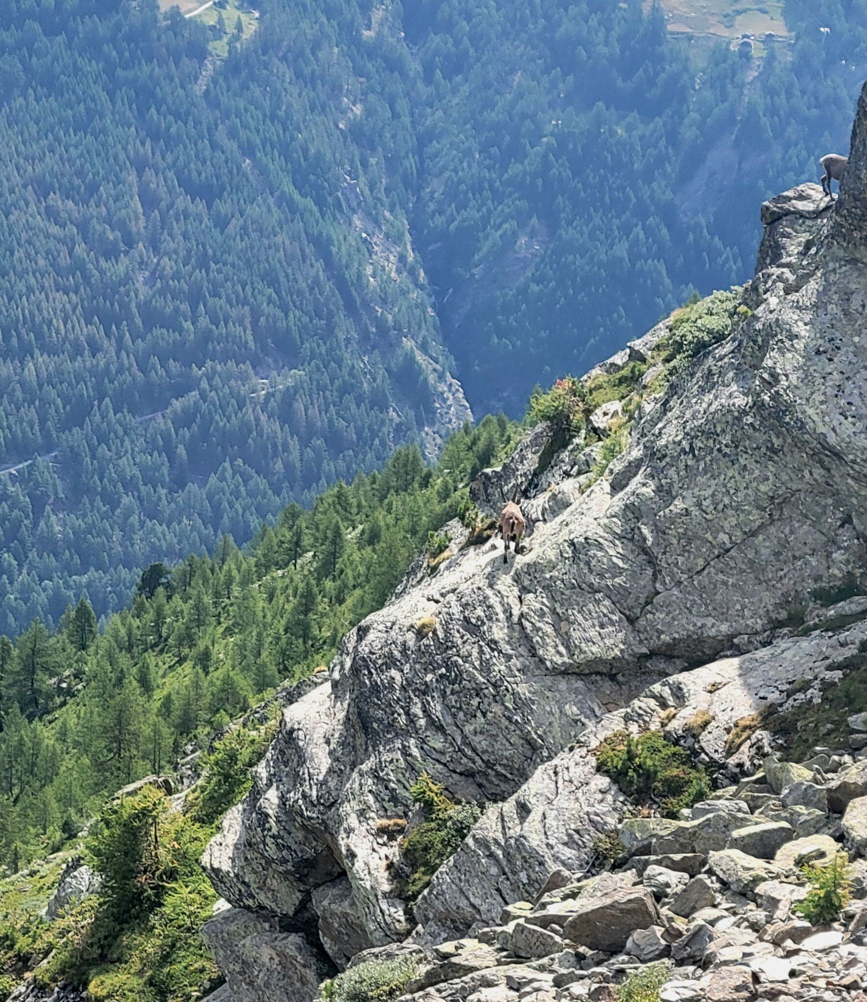
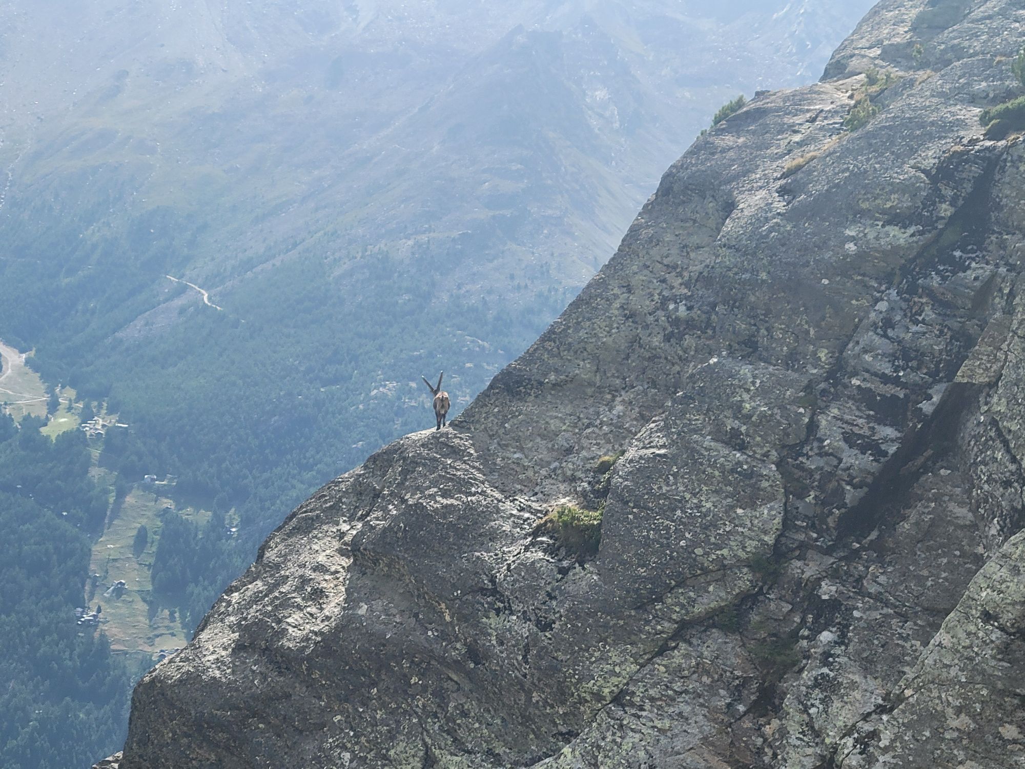
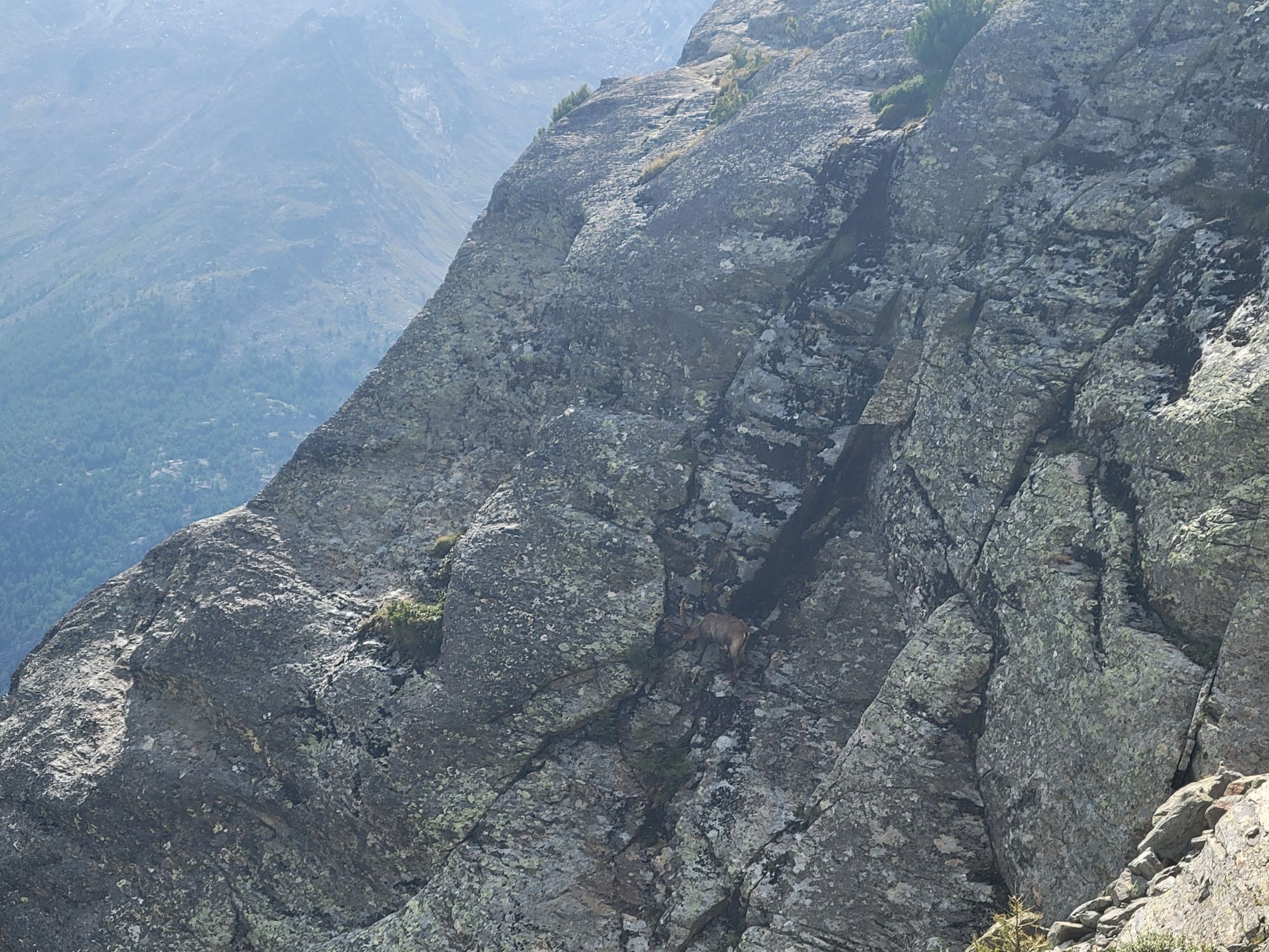
The ibex is the symbolic animal of the Alps: a wild goat species, known for its beautiful, long, and curved horns that distinguish the males of this species. These skilled climbers prefer steep, rough...
The ibex is the symbolic animal of the Alps: a wild goat species, known for its beautiful, long, and curved horns that distinguish the males of this species. These skilled climbers prefer steep, rough terrain at high elevation. Keep your eyes open and proceed carefully—it increases the chances of seeing these beautiful animals in the wild. Especially in the first part of the hike above the tree line, the ibex are often present.
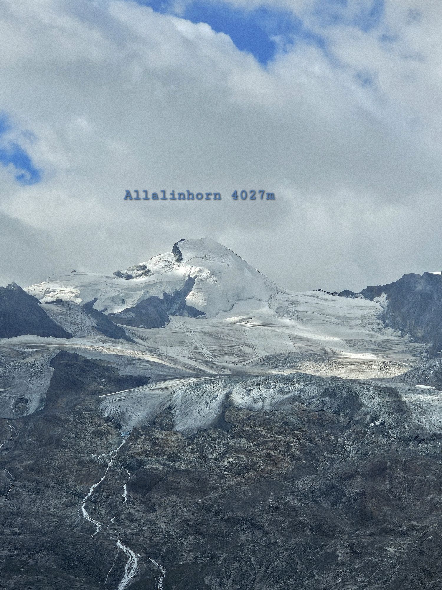
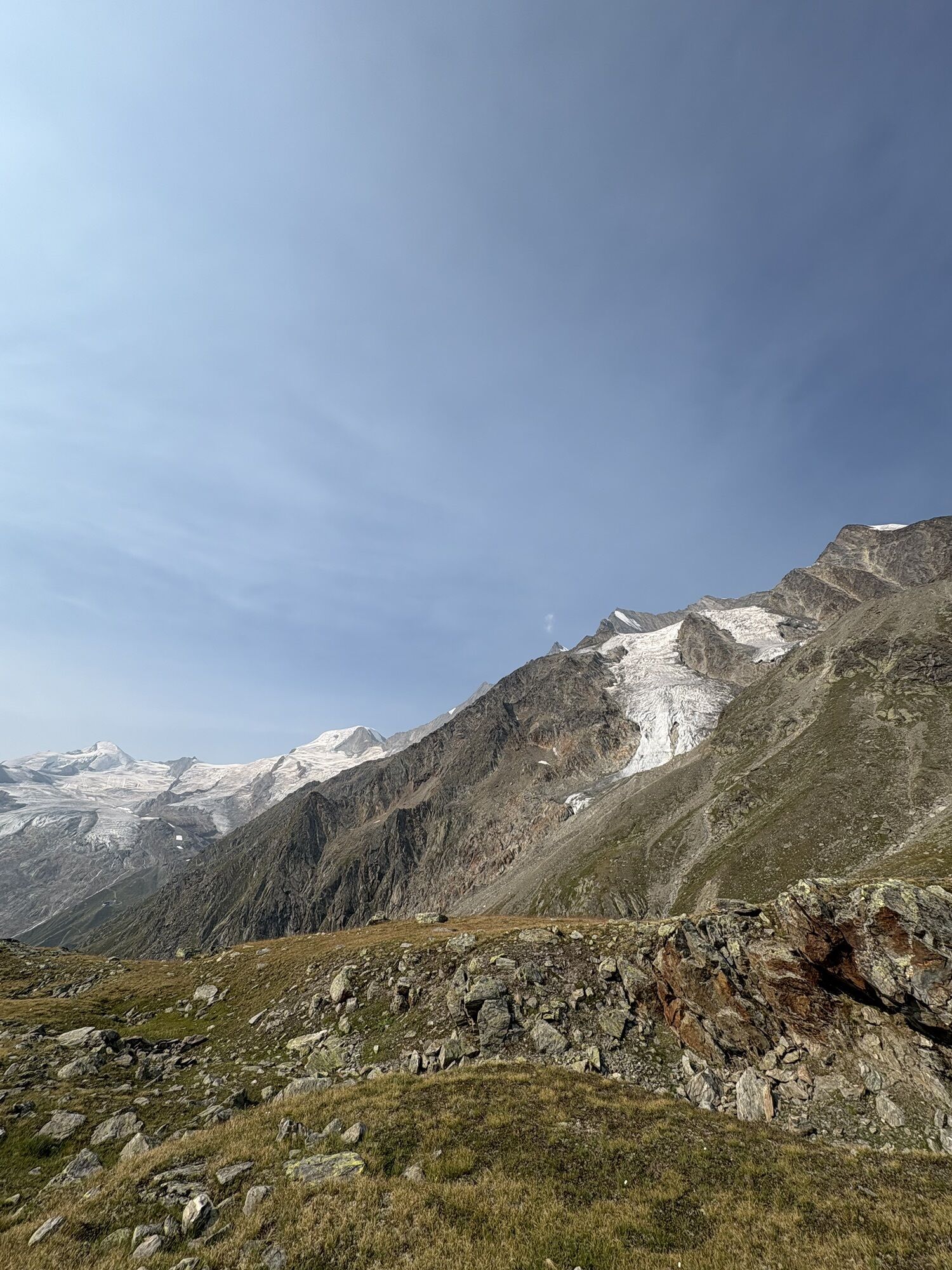
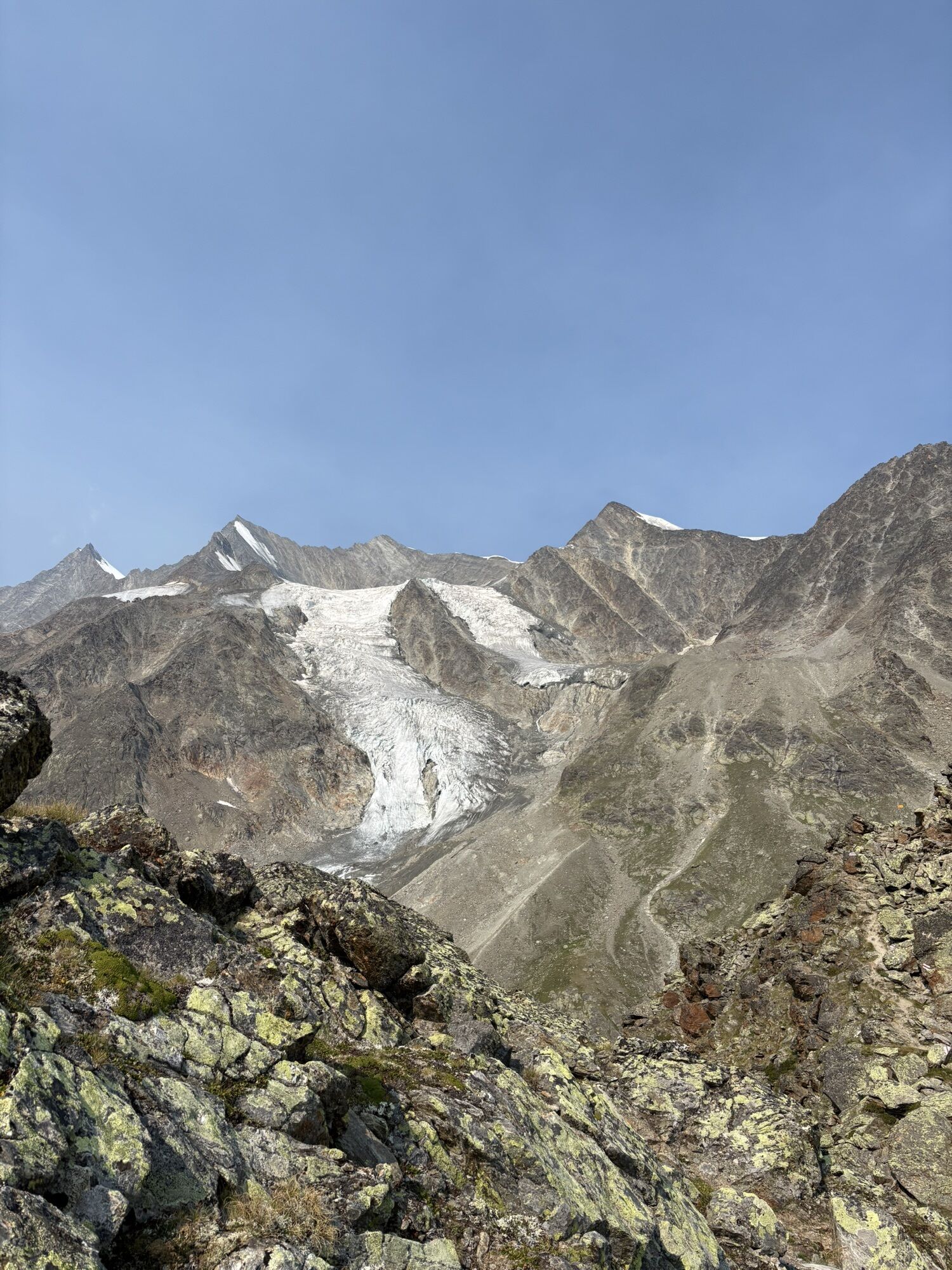
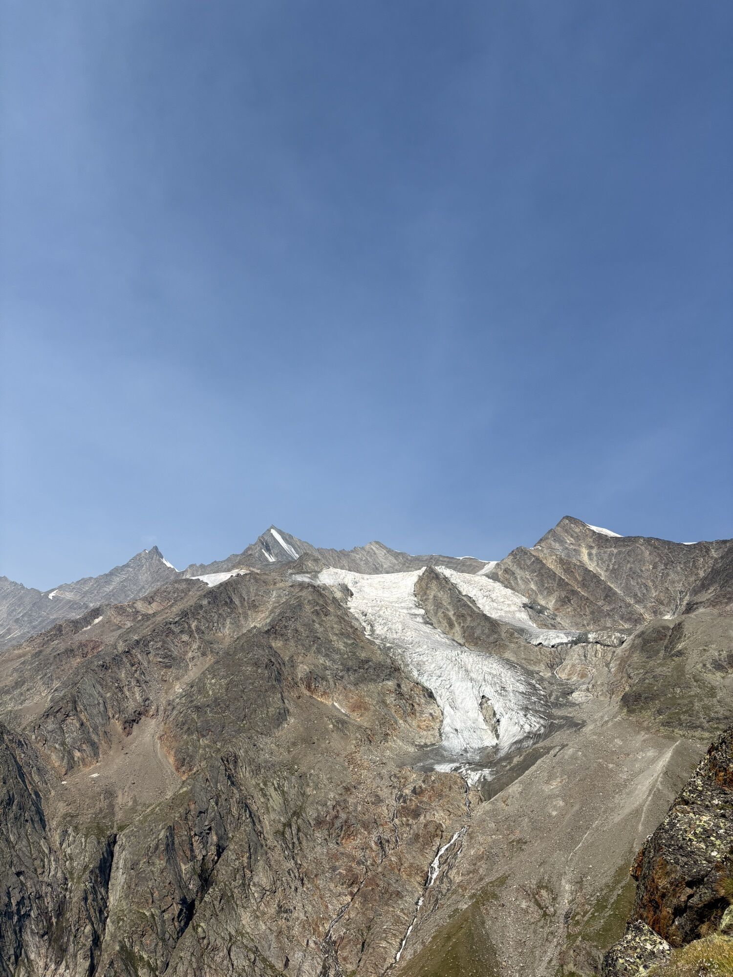
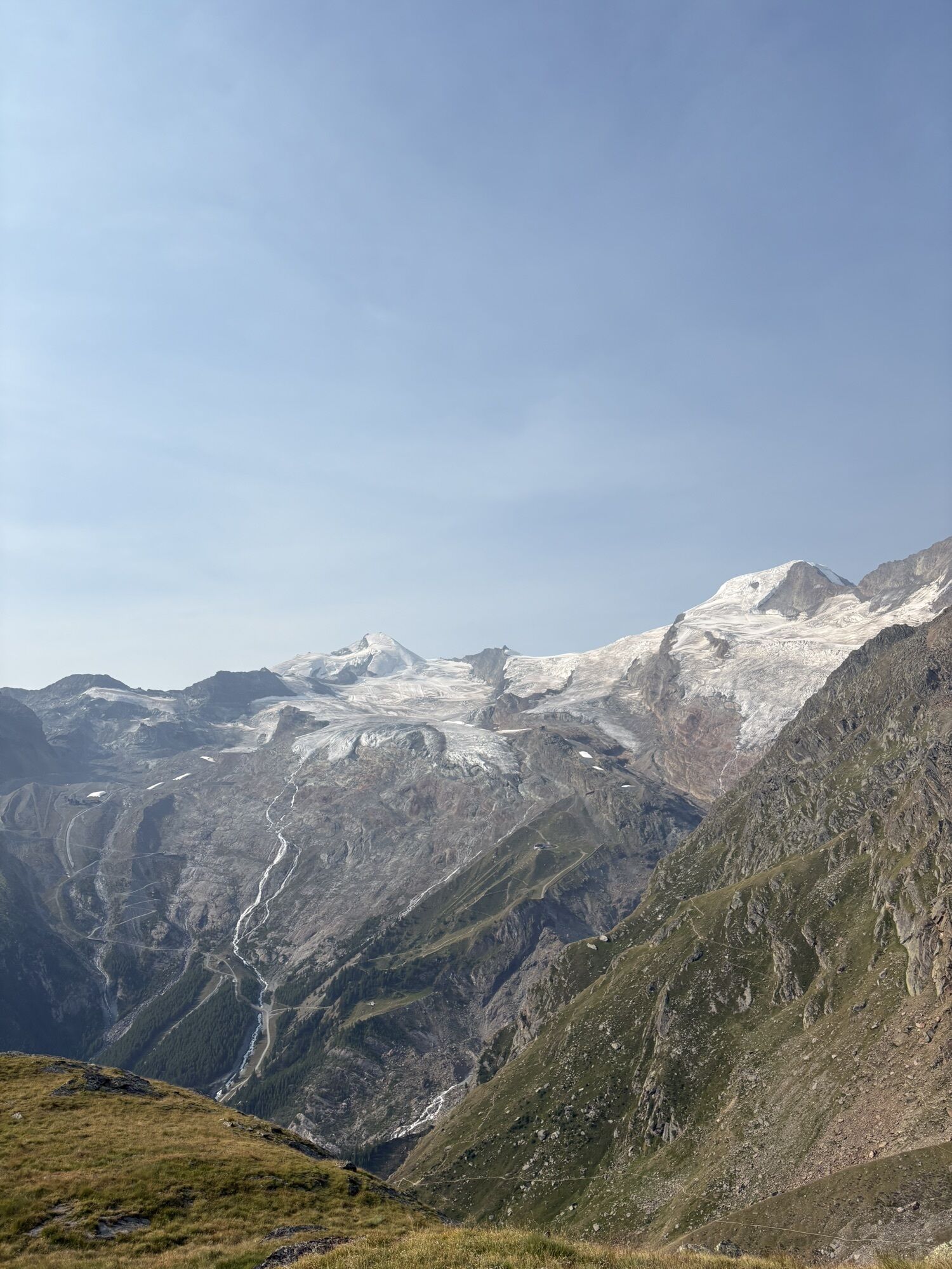
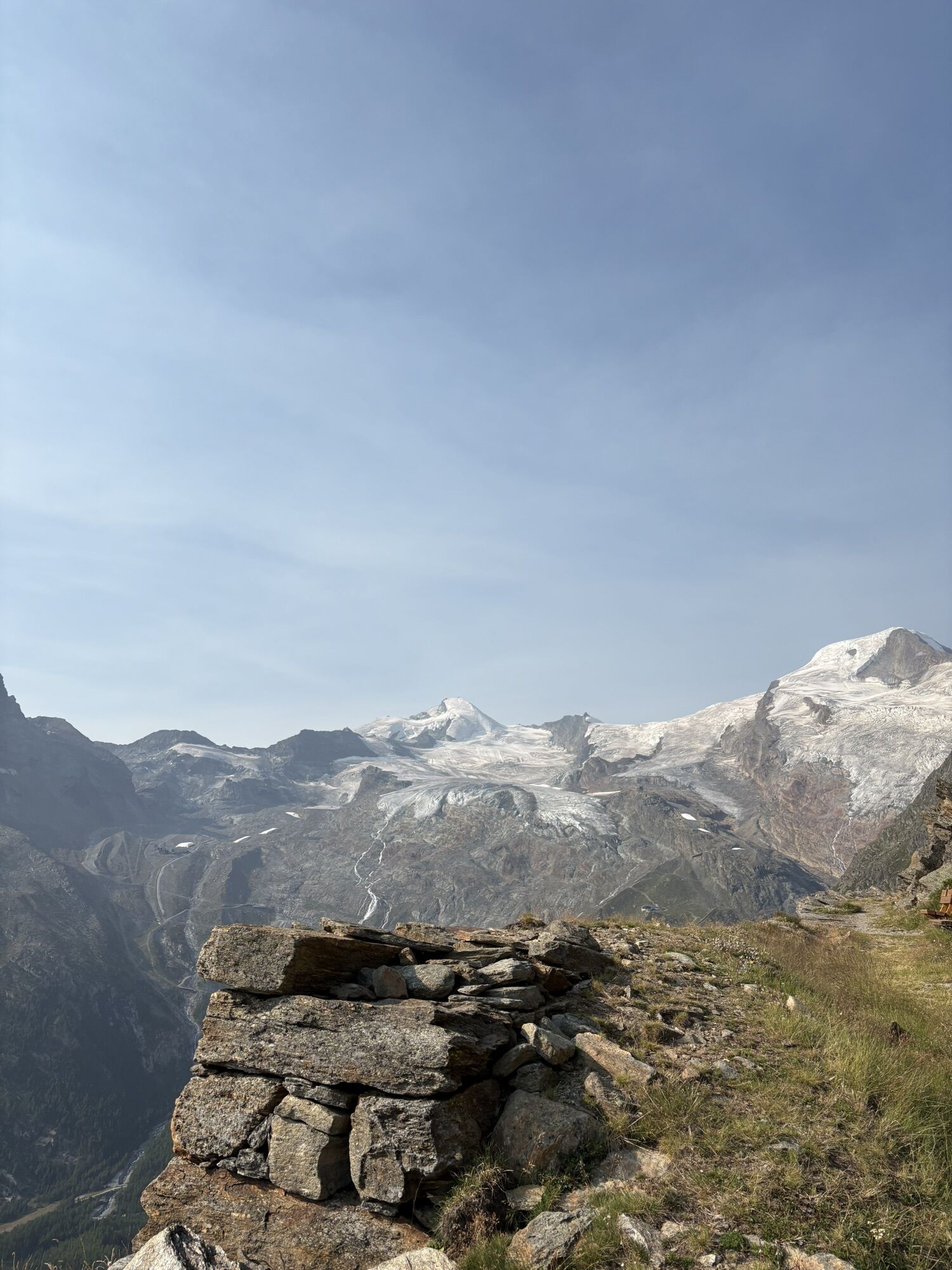
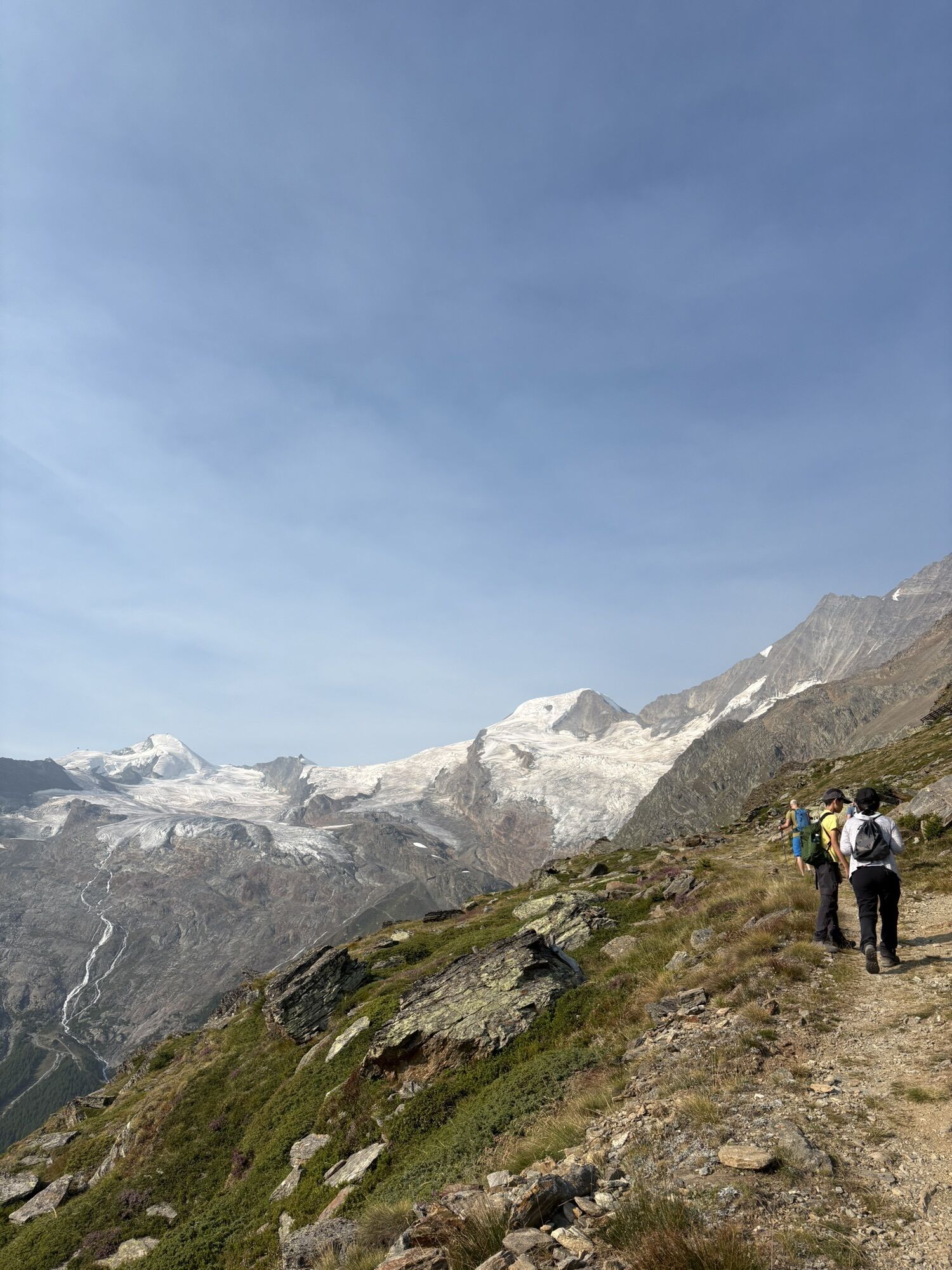
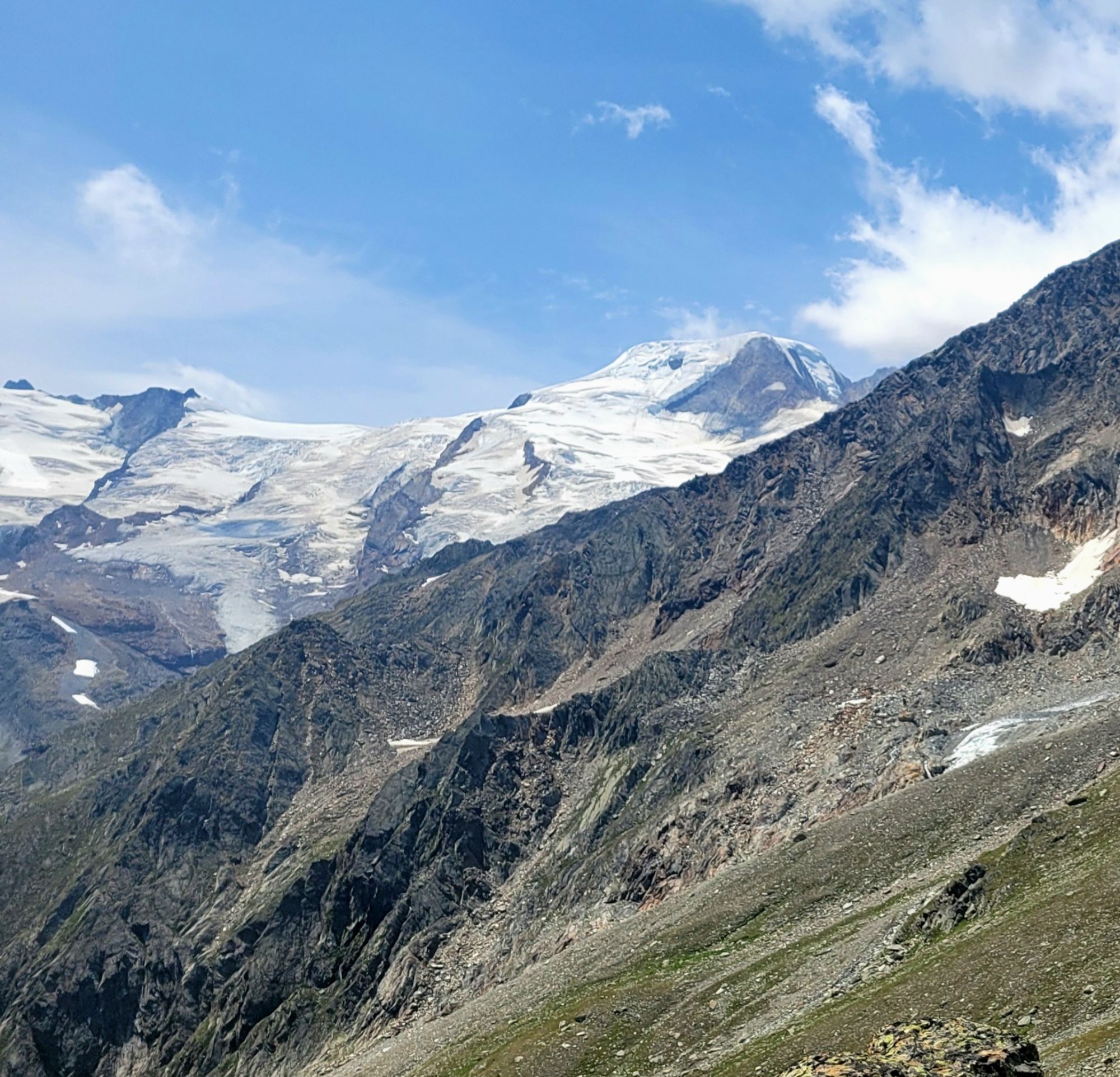
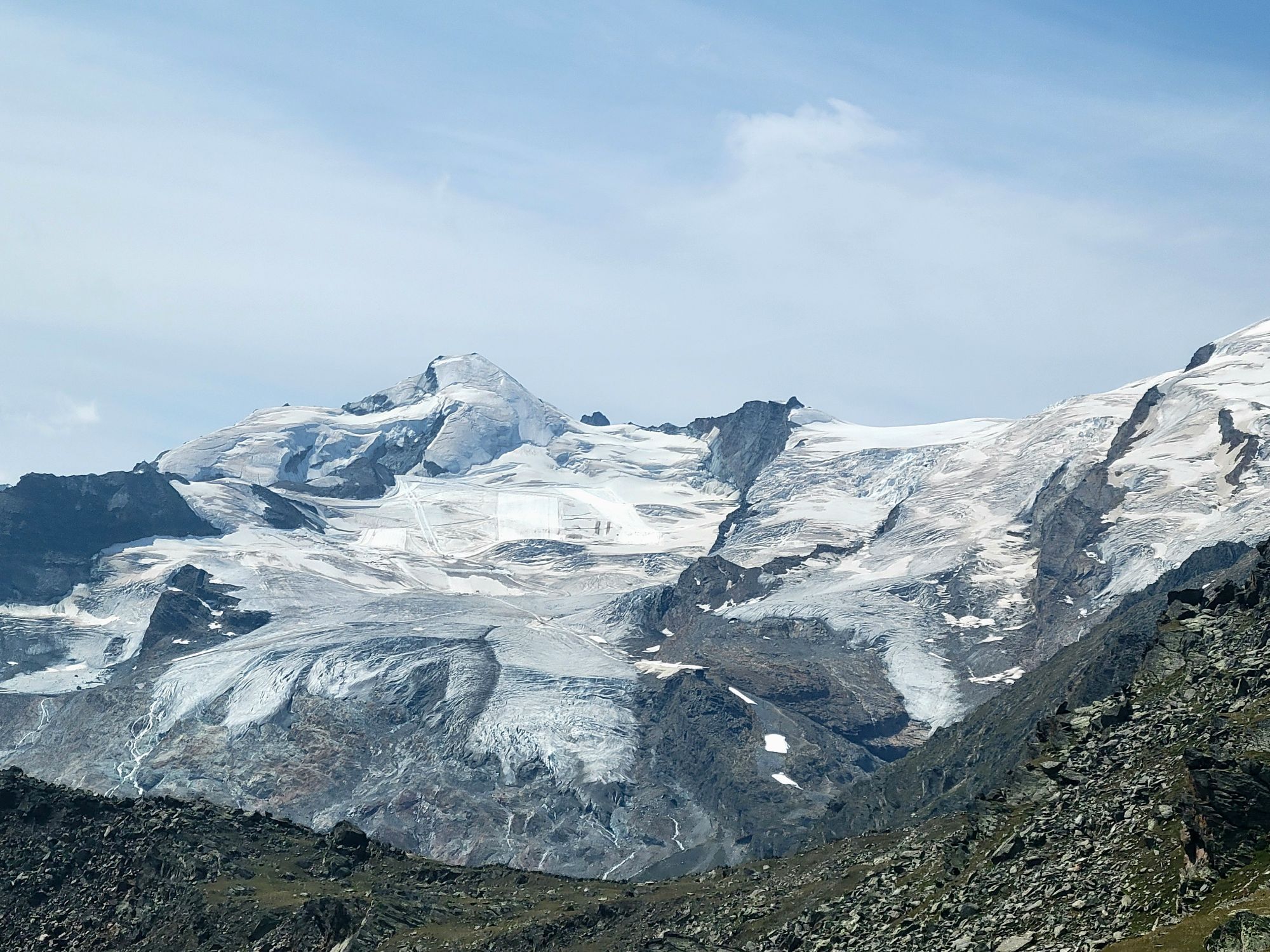
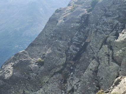
The hike begins with a gondola ride from Saas-Fee to Hannig, followed by a steep zigzag ascent to the summit of Mällig. The path passes old avalanche barriers and a glacier moraine. Through the rocky terrain, the path leads to four additional small summits, from where there is a great view of the Saas valley and the four-thousanders in the surrounding area. Among them is the Dom (4545 m above sea level), the highest peak in Switzerland, which lies entirely on Swiss soil.
The path continues along the ridge before reaching the highest point of the hike at 2750 meters elevation. Here the route branches off northeast and follows the ridge of the Senggflüe before zigzagging over the rocky slopes. You reach the tree line and cross the alpine forest heading south.
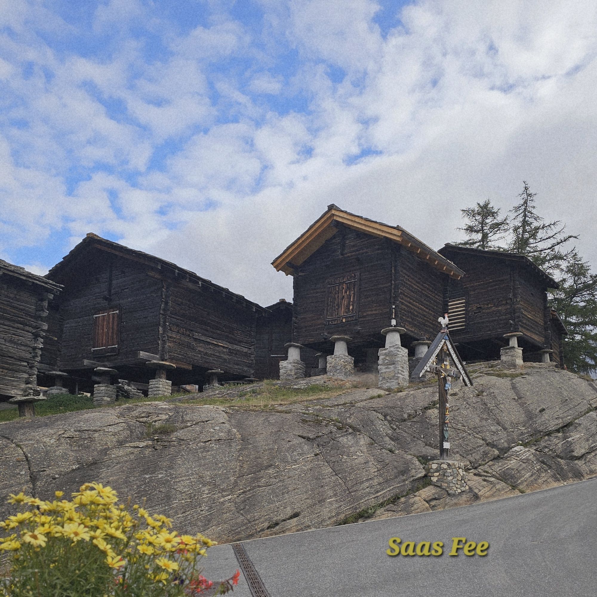
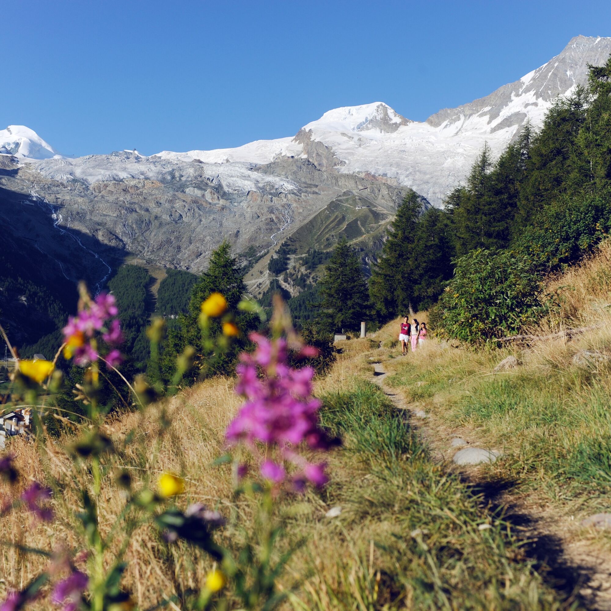
Soon after, the path reaches a junction with the high trail along the west flank of the Saastal from Grächen to Saas-Fee. Our route turns right and follows the high trail southwards through the forest. The contrast with the exposed, rocky slopes above is dramatic. The path now runs through forest clearings, where the fragrant pine forest and the songs of birds engage all the senses. The path reaches the chalets of Saas-Fee before descending into the historic village center.
Highlights of the hike:
Two contrasting sections: first, the rocky, panoramic high hike, and then the fragrant pine forests just before Saas-Fee. Scenic gondola ride and mountain restaurant for a stop at the start of the hike Good opportunities to observe wildlife: for example, ibex and birds of prey at higher altitudes; forest animals in the second section of the hike.
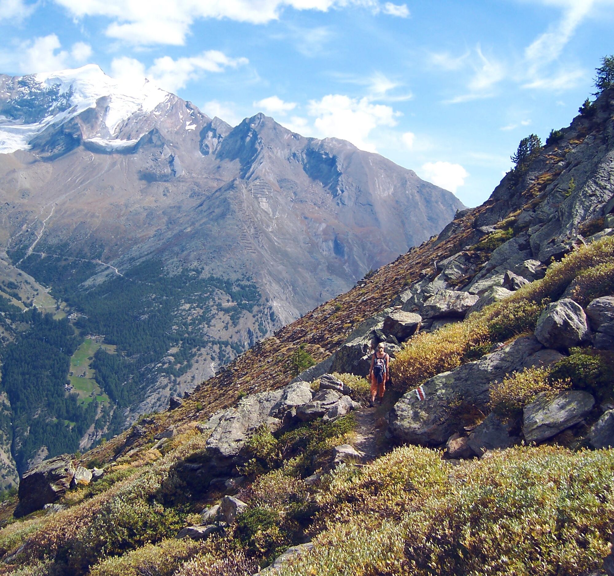
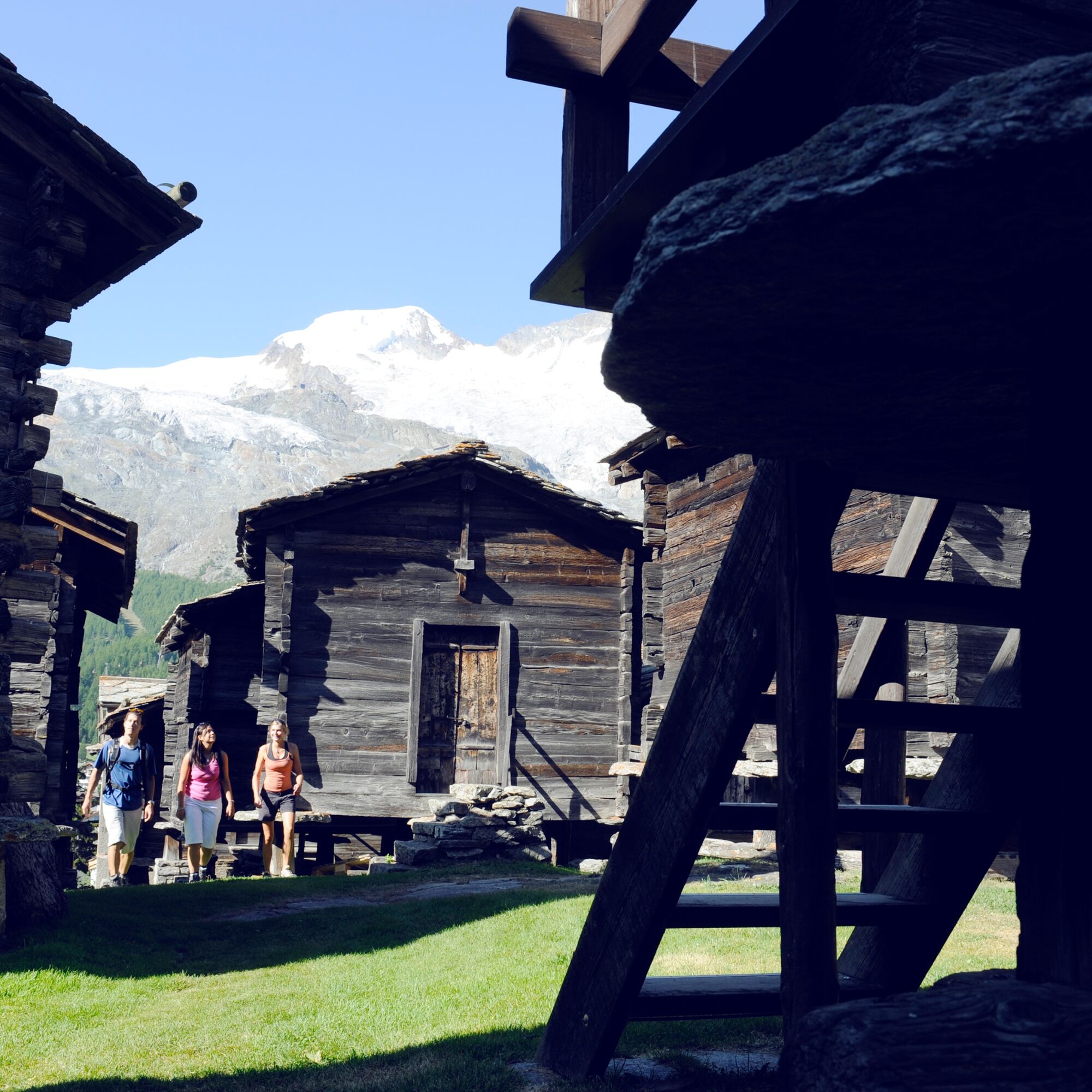

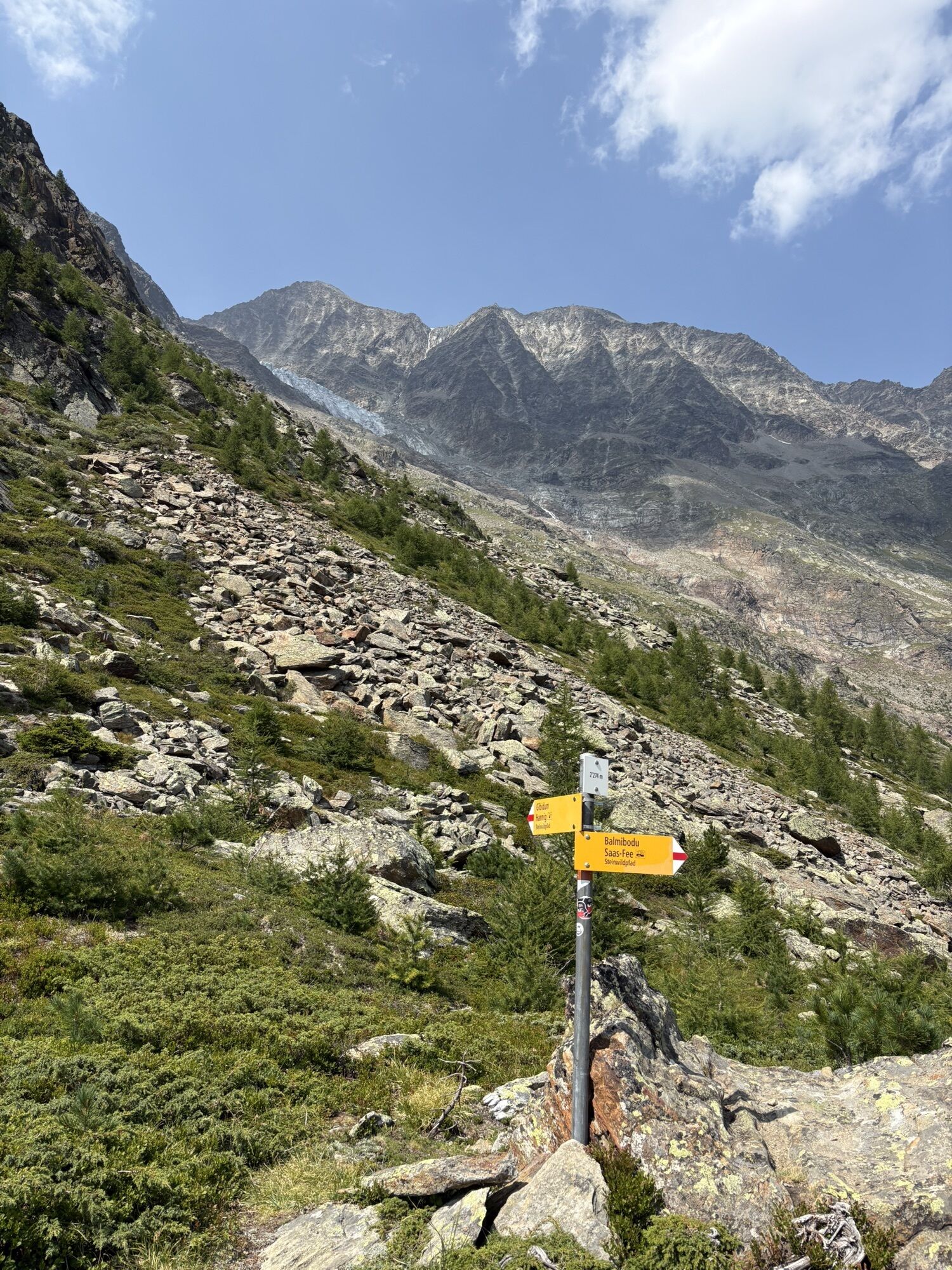
From the village center of Saas-Fee, take the gondola to Hannig (2339 m above sea level). The path is clearly marked and leads in a zigzag pattern up to Mällig and then somewhat flatter along the ridge to the highest point of the hike at 2752 m above sea level. The path then leads steeply downwards towards the northeast, where it crosses the high trail between Grächen and Saas-Fee. Here our route turns right and descends steeply through the forest. At the Bärenfalle, which was formerly used as such, the path leads down to Saas-Fee, whose first chalets are reached after a few hundred meters. The last section can now go directly down to the parking garage, or you can take a small detour and finish by hiking through the historic village of Saas-Fee.
Áno
We recommend:
Good footwear Weather-dependent clothing: always carry a waterproof vest Headwear Sunscreen Water bottle Picnic Camera Binoculars (optional) Hiking poles (optional) Printout of the hiking route (click "Print" to download)For certain hikes:
SwimsuitUse of the hiking trails and information on this website is at your own risk. Local conditions may result in route changes. Valais/Wallis Promotion assumes no responsibility for the accuracy and completeness of the information on this website. Assess your own abilities and fitness well. Travel on the various routes is fundamentally at your own responsibility.
For all hikes:
Carry a map with you. Download the complete description of the hiking trail with a large-scale map by clicking "Print" at the top right of the page. Use only marked hiking trails and follow all signposts and instructions—for your own safety, to protect grazing animals, and out of respect for wildlife. Close gates after passing through. Be considerate towards other trail users, plants, and animals.For mountain hikes:
Carry additional sunscreen. UV rays can be very strong at high altitudes, even in cloudy weather. Plan your hike carefully: take into account the required fitness level of all participants, weather forecasts, and seasonal dependencies. Weather conditions in the mountains can change very quickly and without warning. Appropriate clothing and enough provisions (food and drink) are very important. In unstable weather, it is better to turn back early.For high alpine hikes:
Inform your family about your hiking route. Avoid being alone if possible. Do not go on glaciers without a mountain guide. Observe warning signs indicating dangers at riverbanks, along watercourses below dams and reservoirs: Water levels can rise quickly and without warning.Motorway A9 and then cantonal road to Visp. Head south towards Stalden and then turn left towards Saas-Fee.
Regular train connections from all over Switzerland to Visp, then by post bus towards Saas-Fee. In Saas-Fee, walk to the valley station of the Hannig railway. Detailed timetables for trains and post buses can be found at sbb.ch.
Saas-Fee is car-free. Parking is located at the village entrance.
Further information about the destination:
Saas-FeeHolders of a citizen pass use the mountain railways (except Metro Alpin) and post buses in the Saastal for free. Numerous additional discounts on activities in the valley.

Webové kamery z prehliadky
Získajte prehľad
Vždy naživo na mieste s viac ako 9 500 webovými kamerami. bergfex Ako používateľ Pro si teraz môžete pozrieť príslušné webové kamery pre mnohé zájazdy v aplikácii zájazdy z. Môžete si tak priamo prezerať aktuálne podmienky.



Obľúbené výlety v okolí
-
4,9
Allalinhorn vom Mittelallalin über Normalweg
strednáVysoké turné 6,15 km -
5,0
Moosalp Panoramaweg
svetloTuristika 6,36 km -
3,3
Europaweg Grächen - Europahütte - Zermatt
ťažkéTuristika 39,9 km -
3,6
Höhenweg Kreuzboden - Almagelleralp - Saas-Almagell
Turistika 9,74 km -
3,5
Waldweg Saas-Fee - Saas-Almagell
Turistika 2,83 km -
4,7
Weissmies Südgrat von Saas Almagell
strednáVysoké turné 20,5 km -
4,8
Marmot mountain path Spielboden
strednáTuristika 3,89 km -
5,0
Via ferrata Jägihorn
ťažkéVia ferrata 6,14 km -
3,8
Höhenweg Saas-Fee - Grächen
Turistika 12,0 km -
4,5
Ibex path
strednáTuristika 9,02 km

Turistika a stopovanie


Nenechajte si ujsť ponuky a inšpiráciu na ďalšiu dovolenku
Vaša e-mailová adresa bol pridaný do poštového zoznamu.





