







Längfluh / Saas-Fee
Prepare for unforgettable views on this hike along the glaciers. You walk past the impressive glaciers of Saas-Fee and the nearby Mischabel massif, with the highest mountain entirely in Switzerland - the...
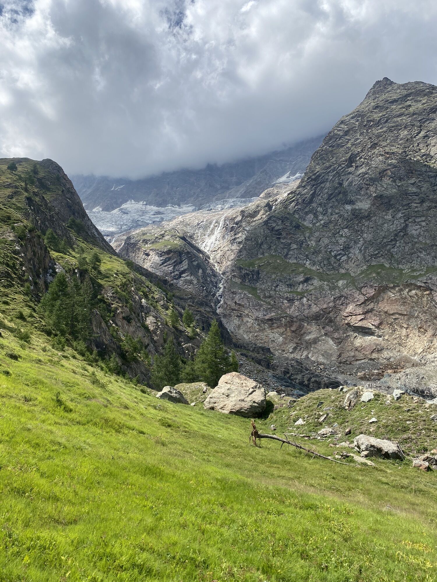
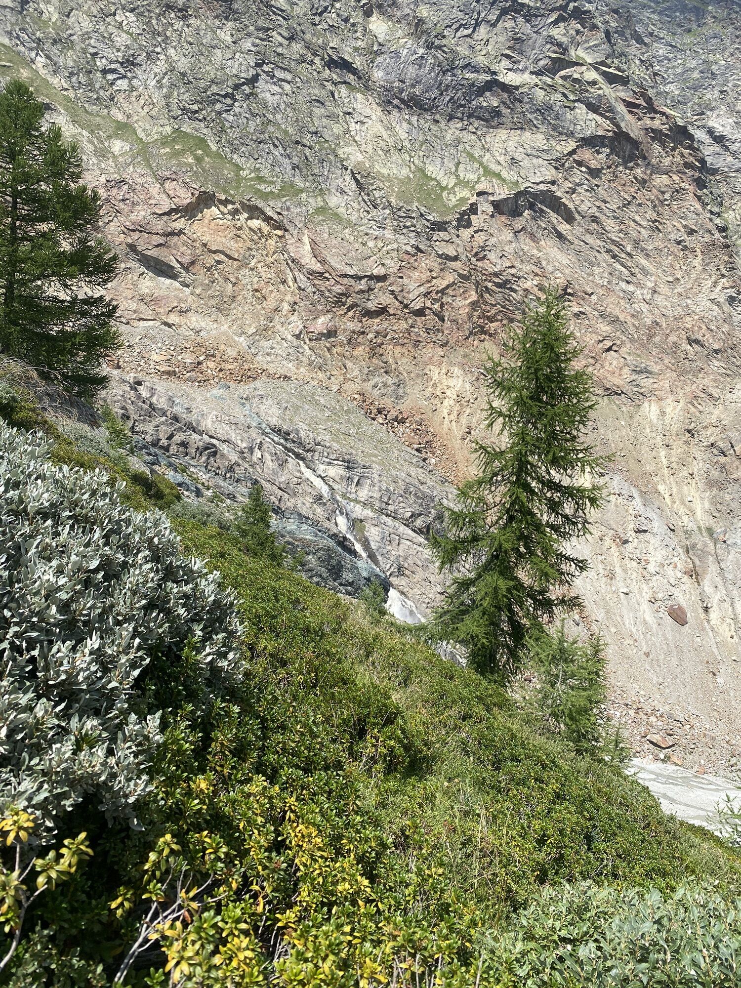
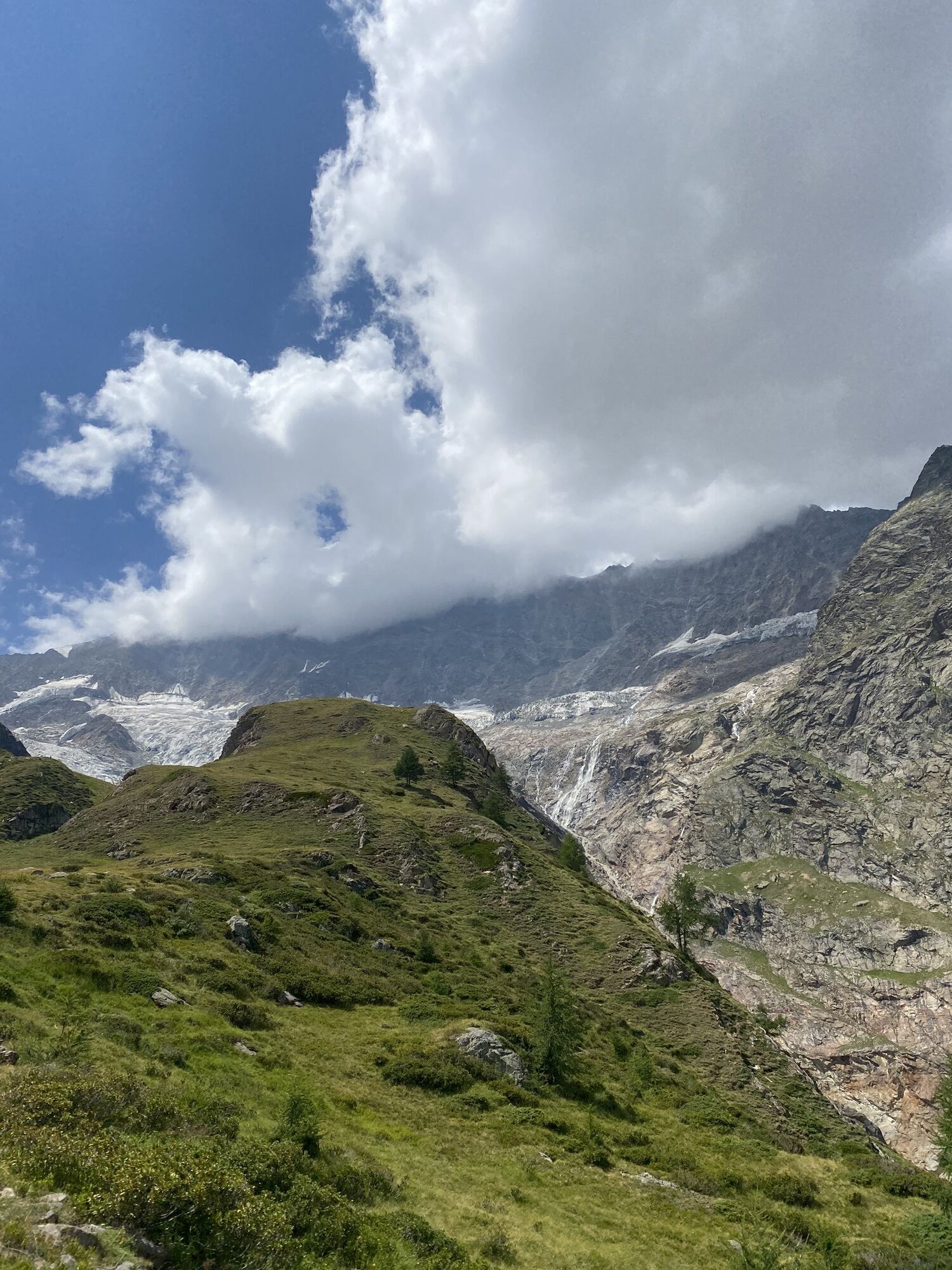
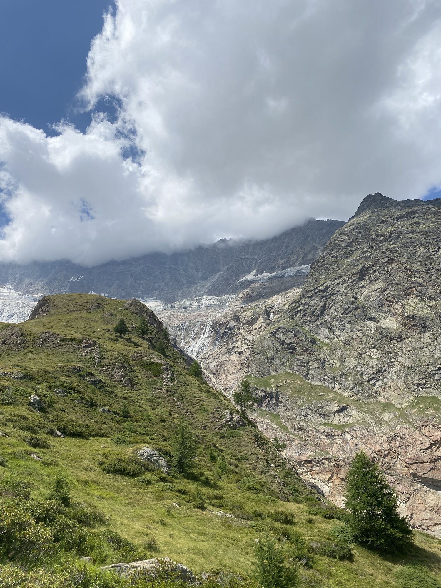
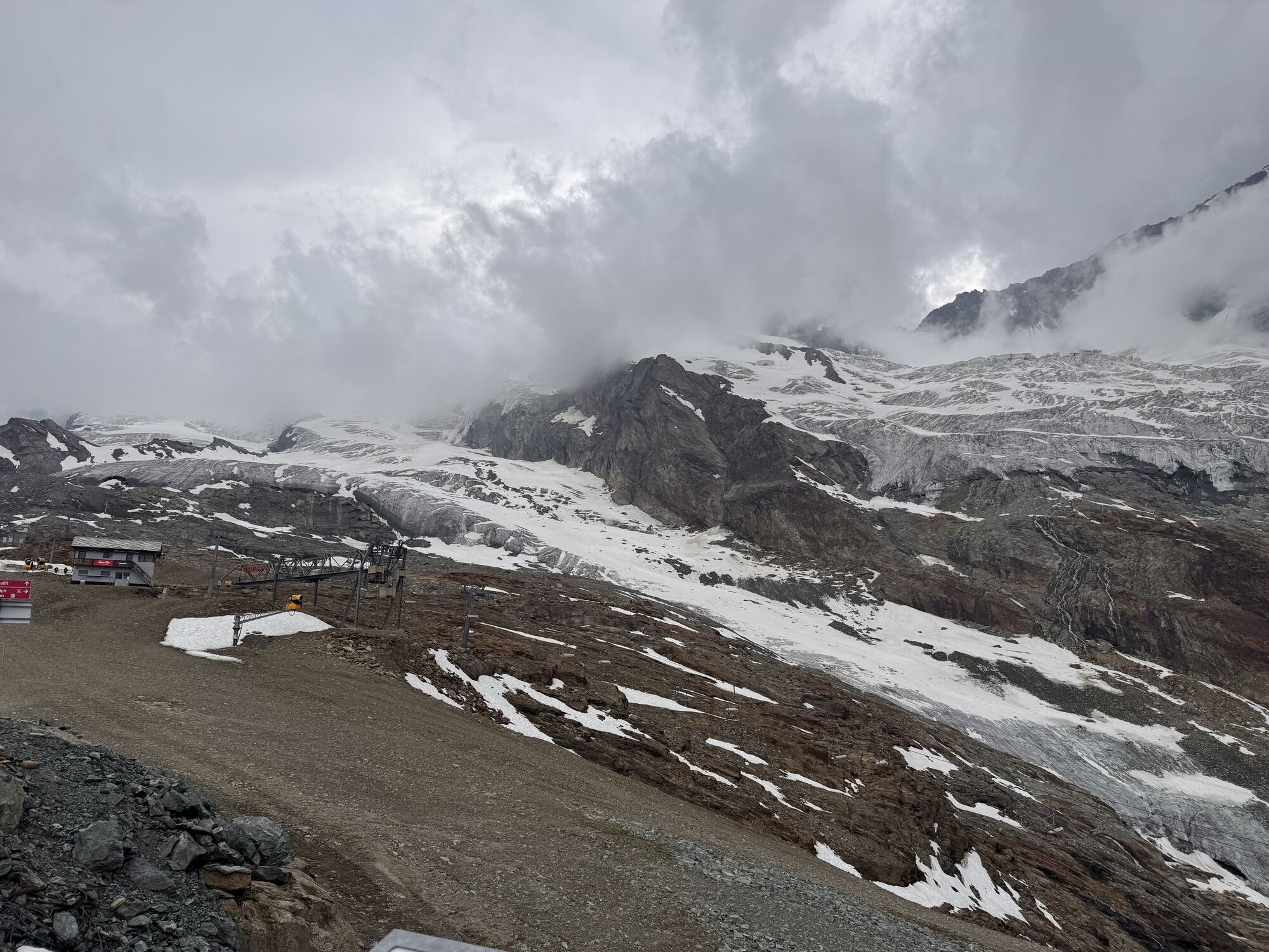
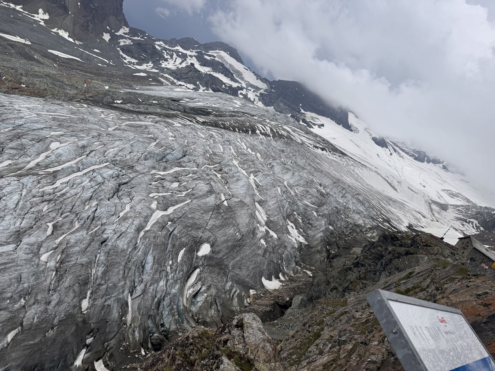
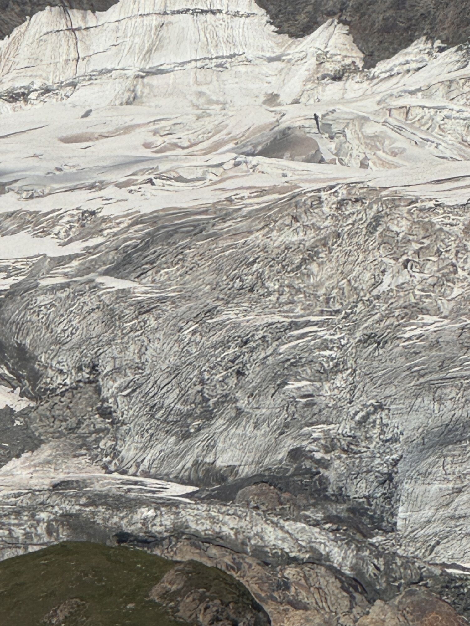
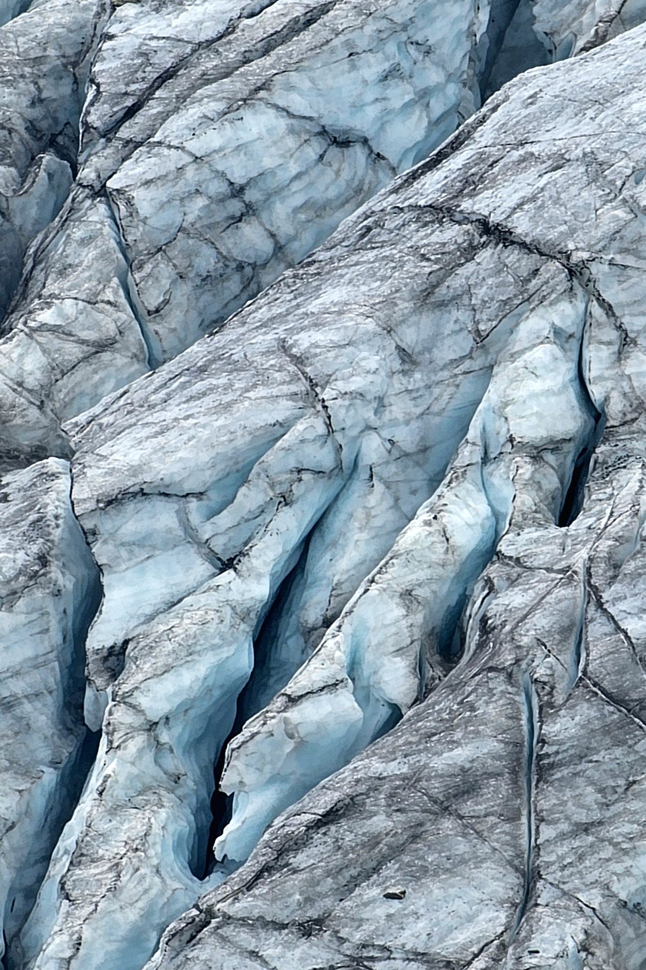
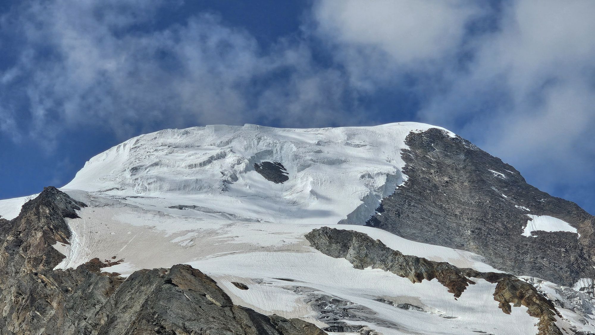
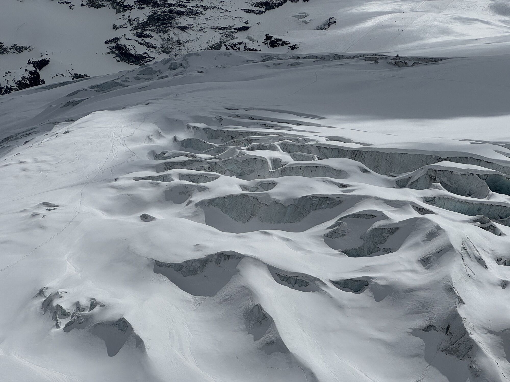
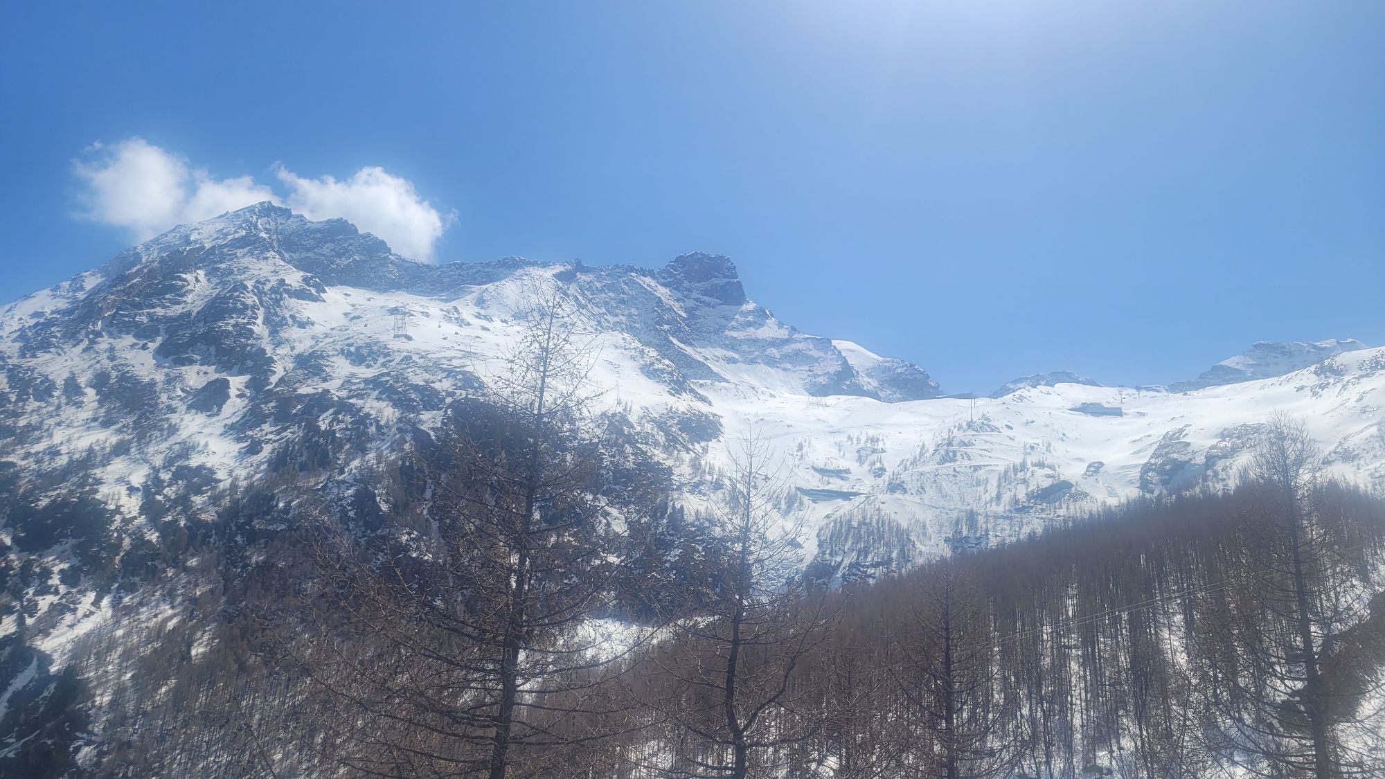
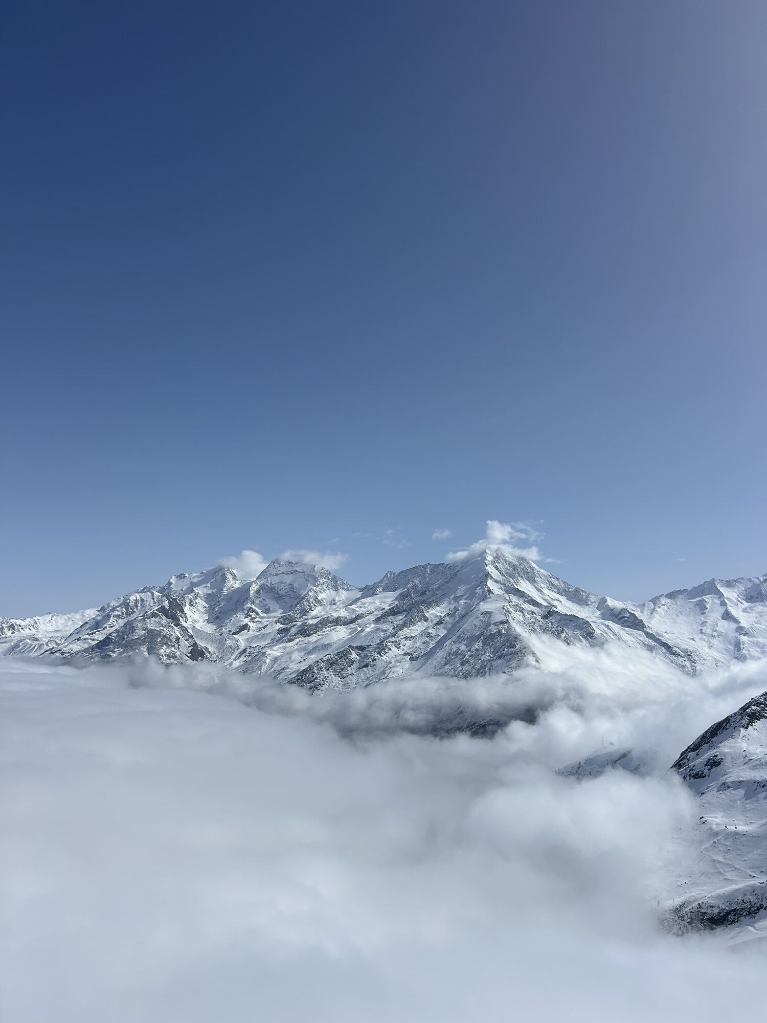
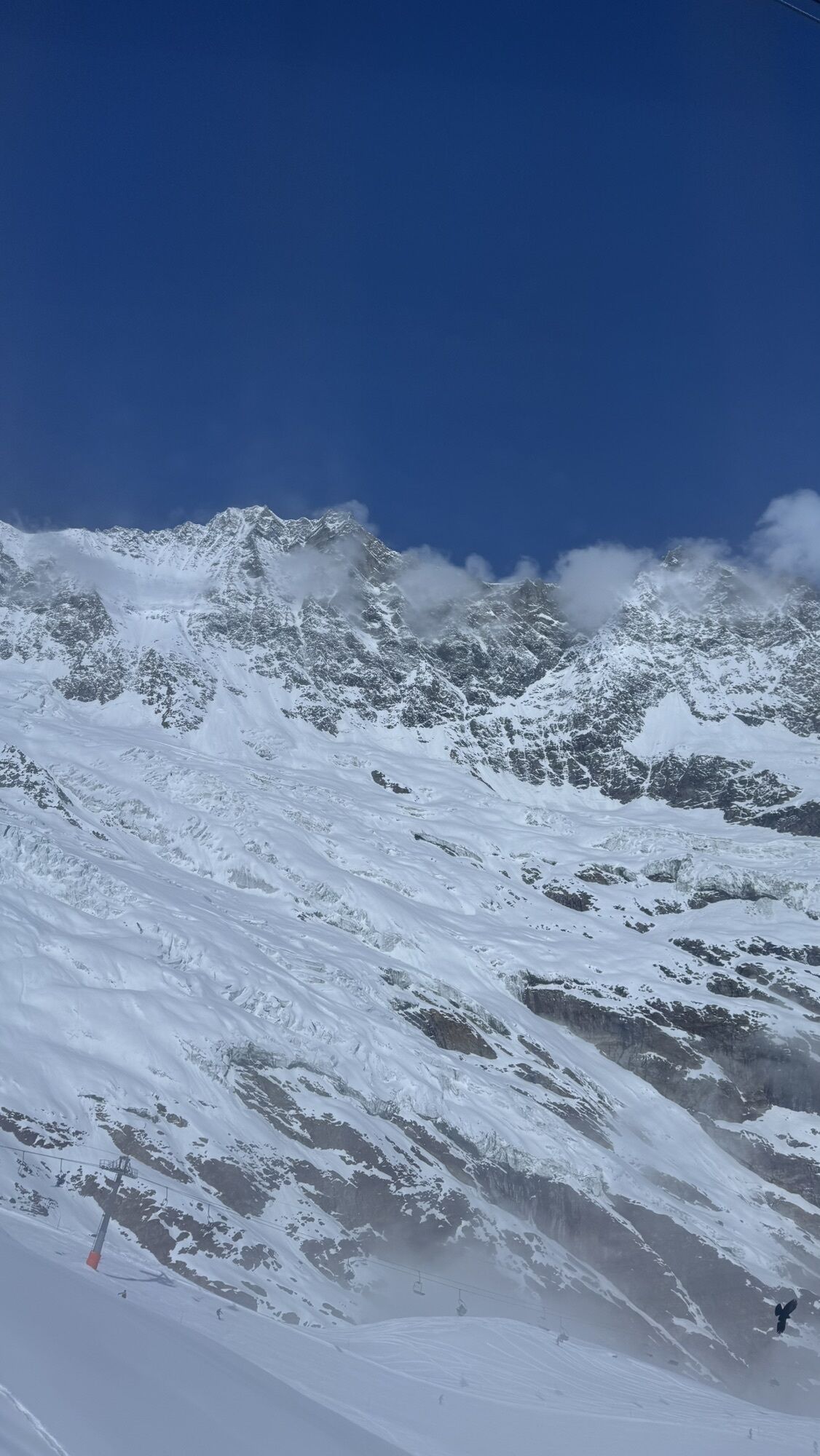
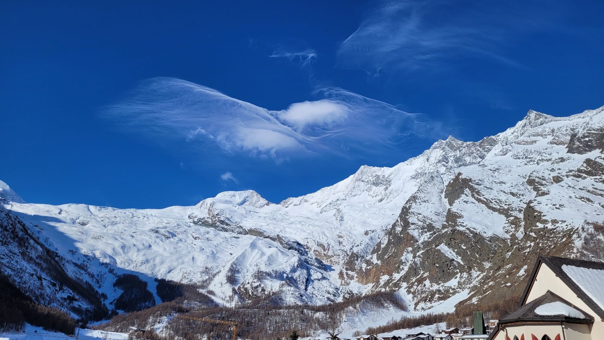
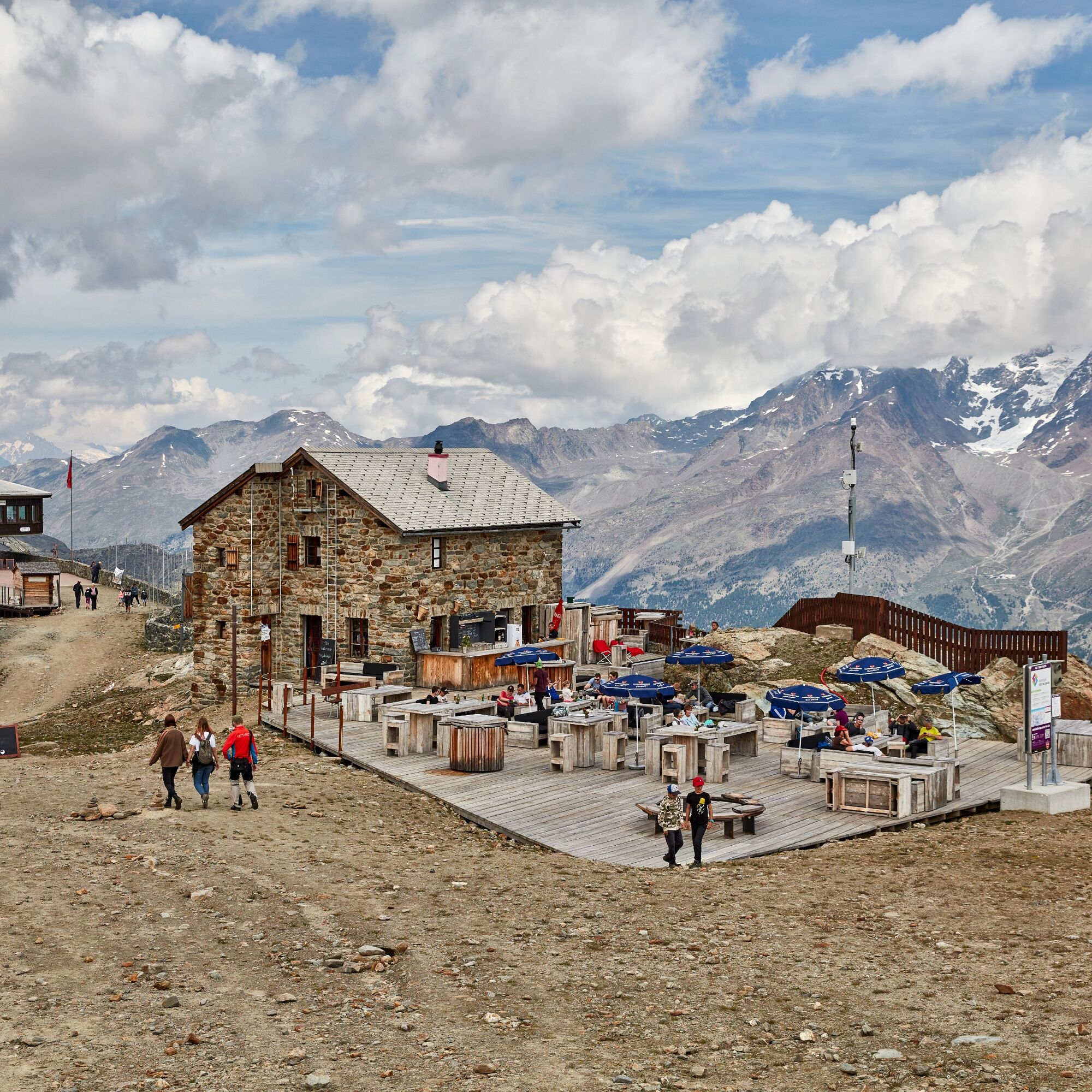
Prepare for unforgettable views on this hike along the glaciers. You walk past the impressive glaciers of Saas-Fee and the nearby Mischabel massif, with the highest mountain entirely in Switzerland - the Dom. With some luck, you can encounter tame marmots. Captivated by this breathtaking panorama, you have the option to stop at the Längflüe hut, where you can eat or relax on the sun loungers.

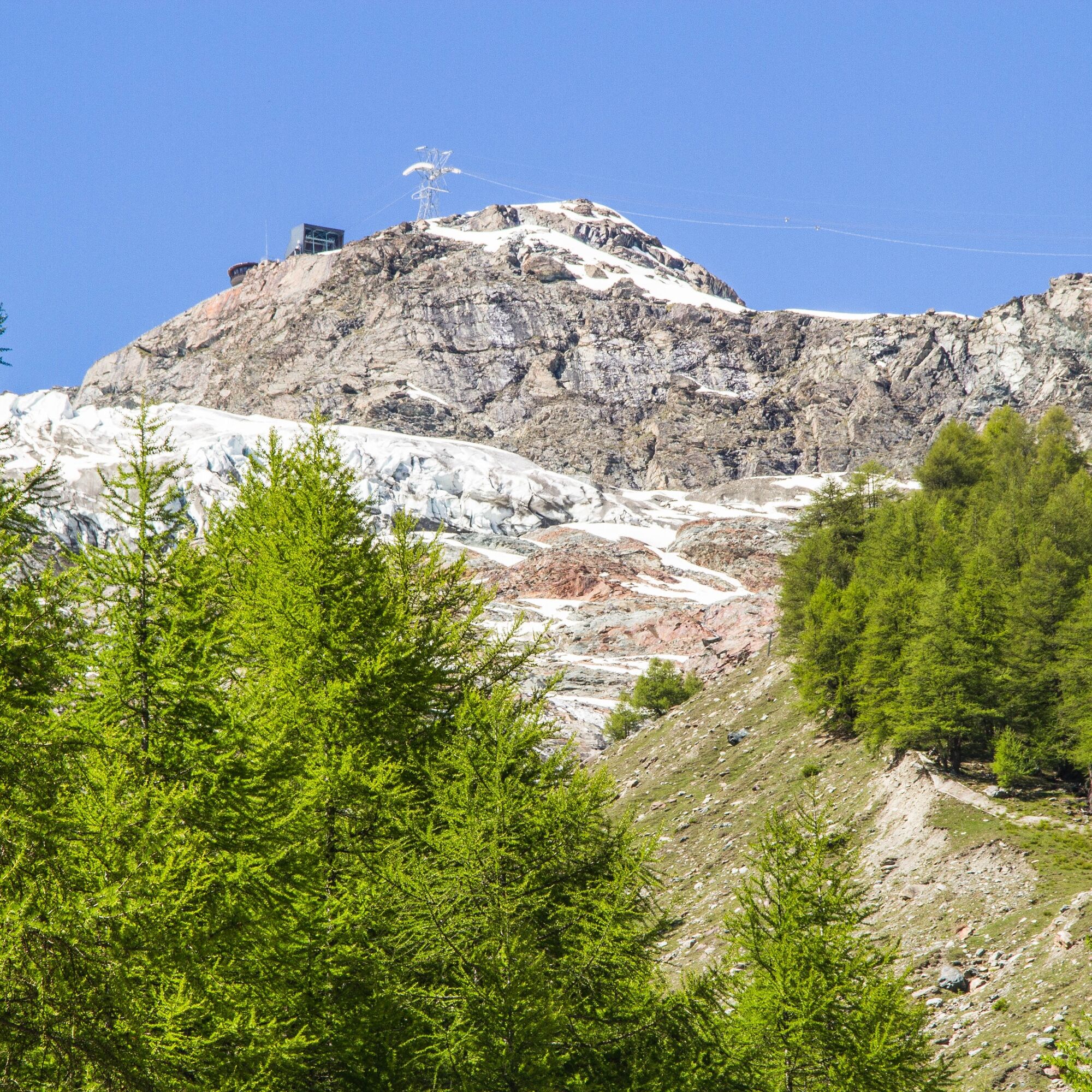
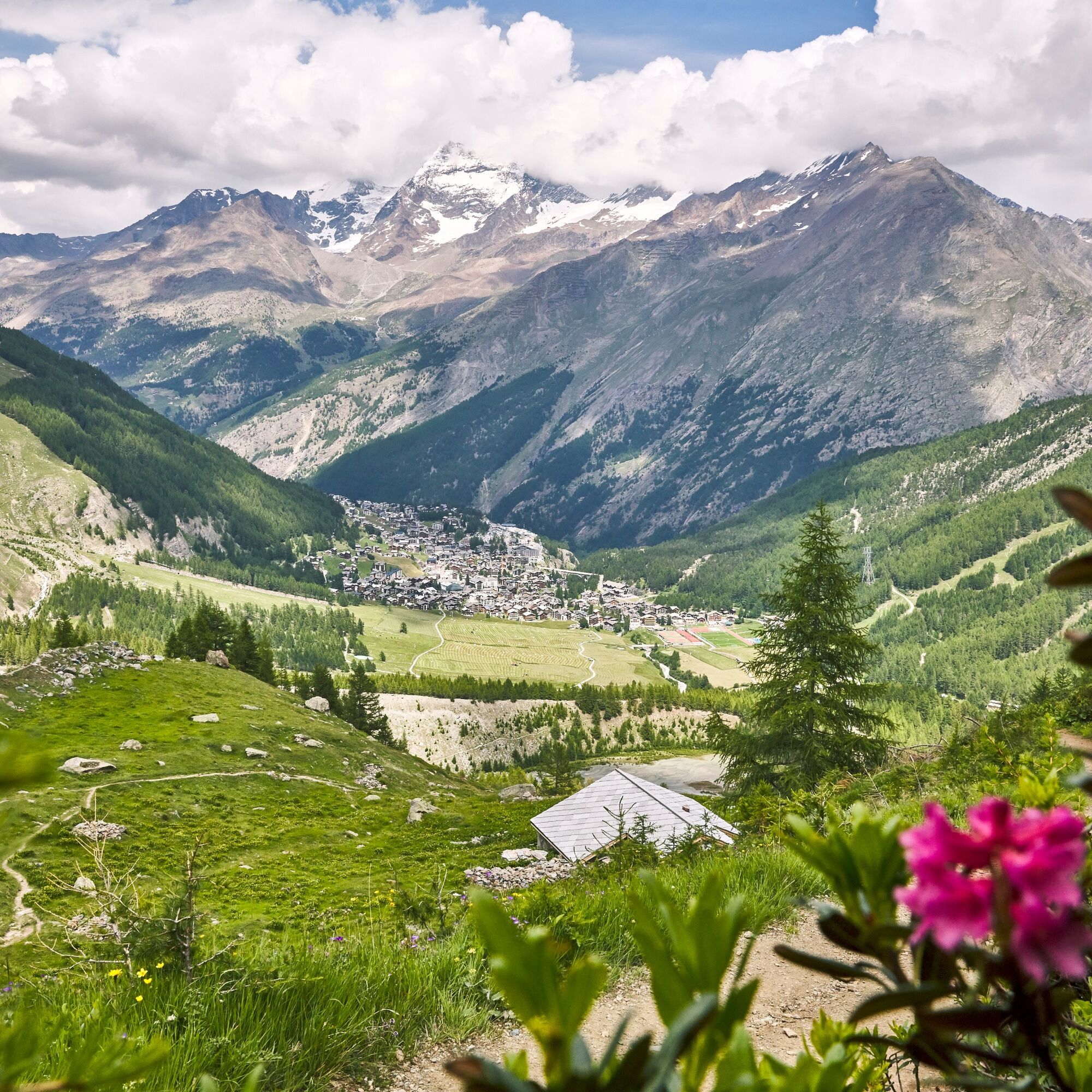
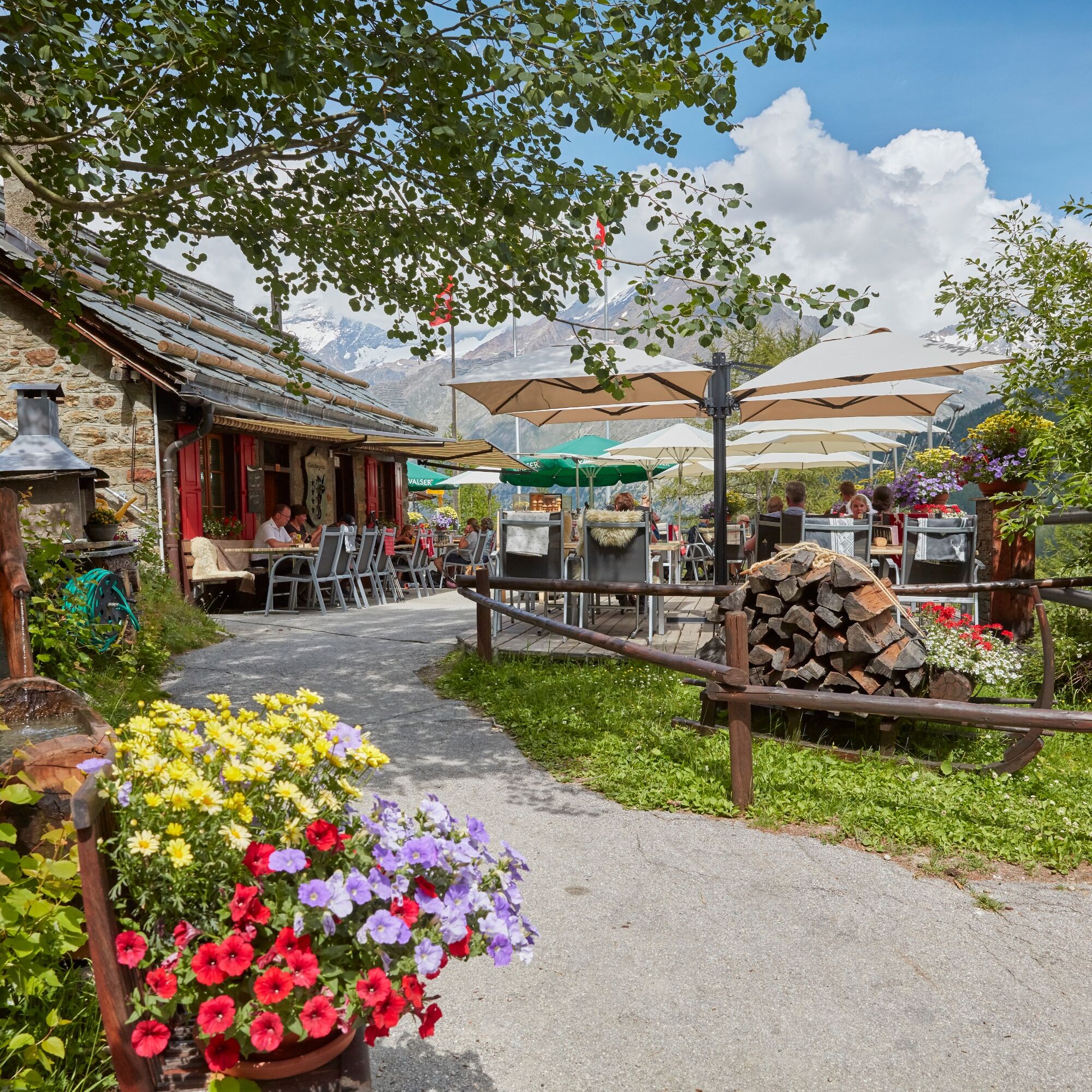

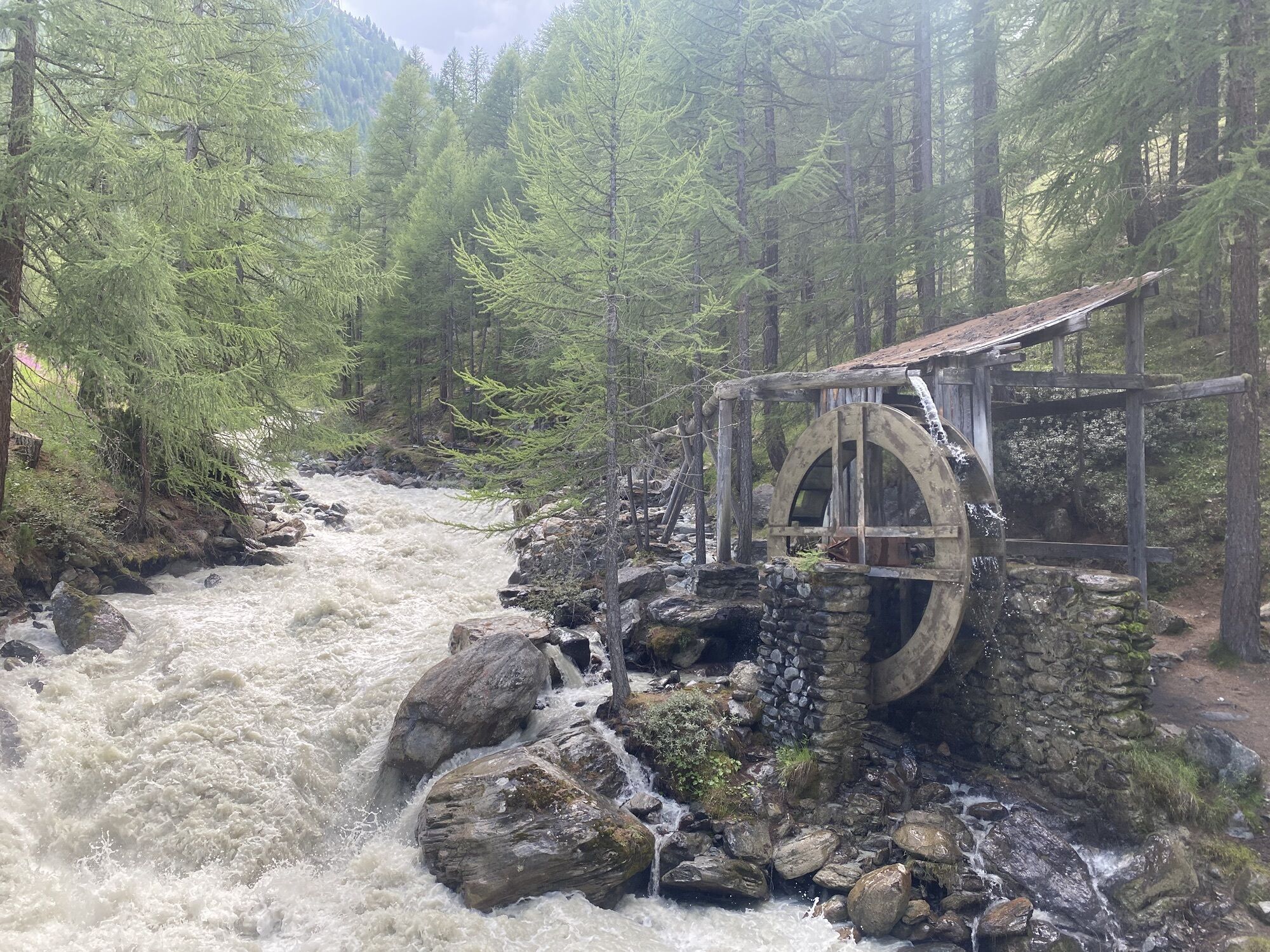
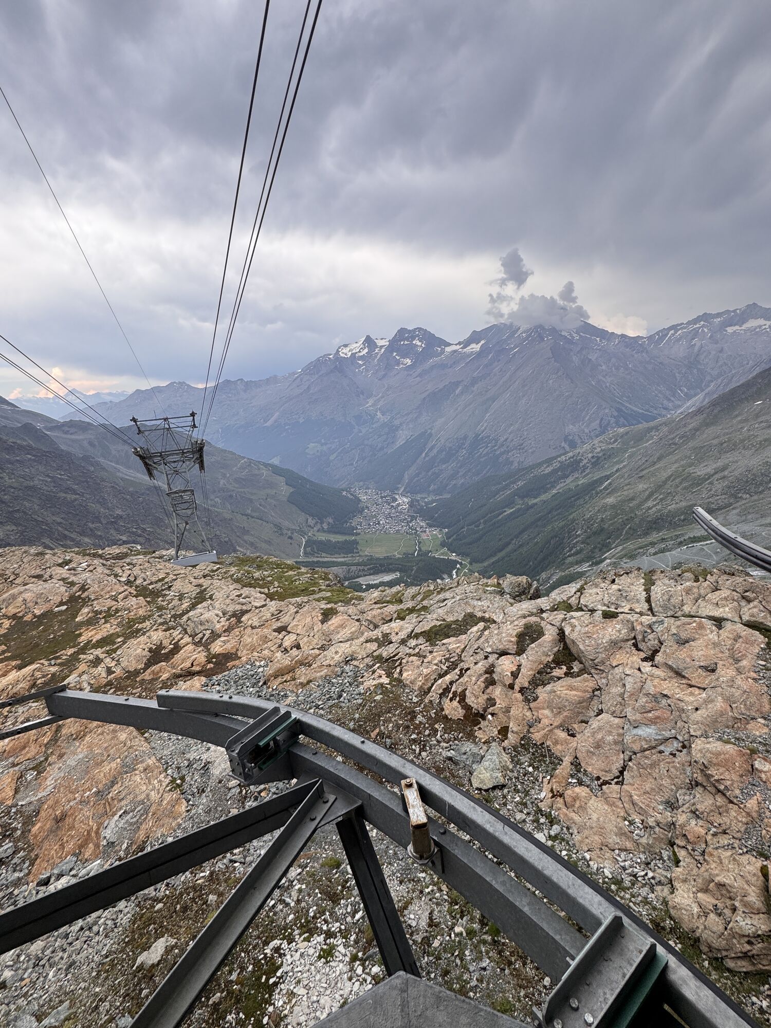
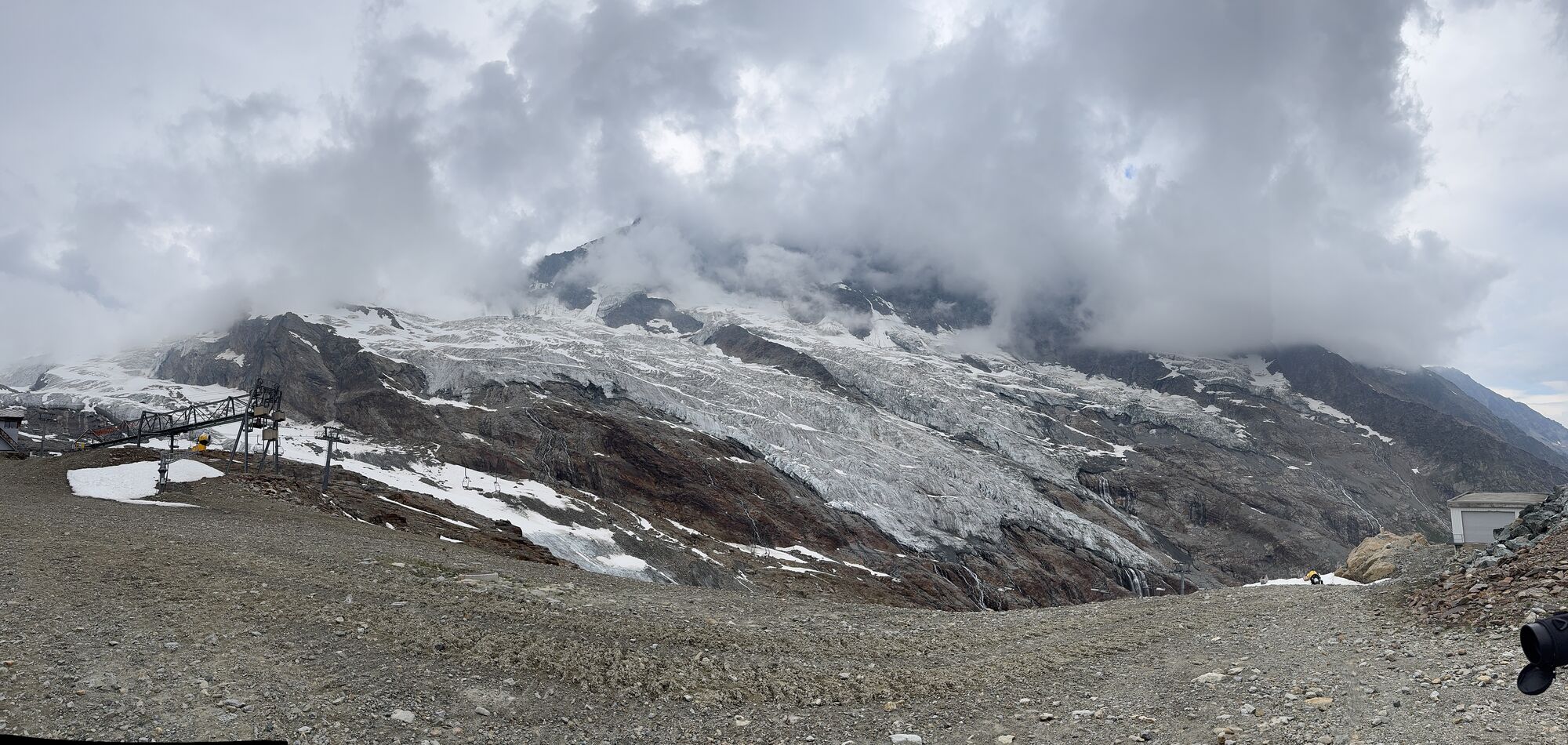
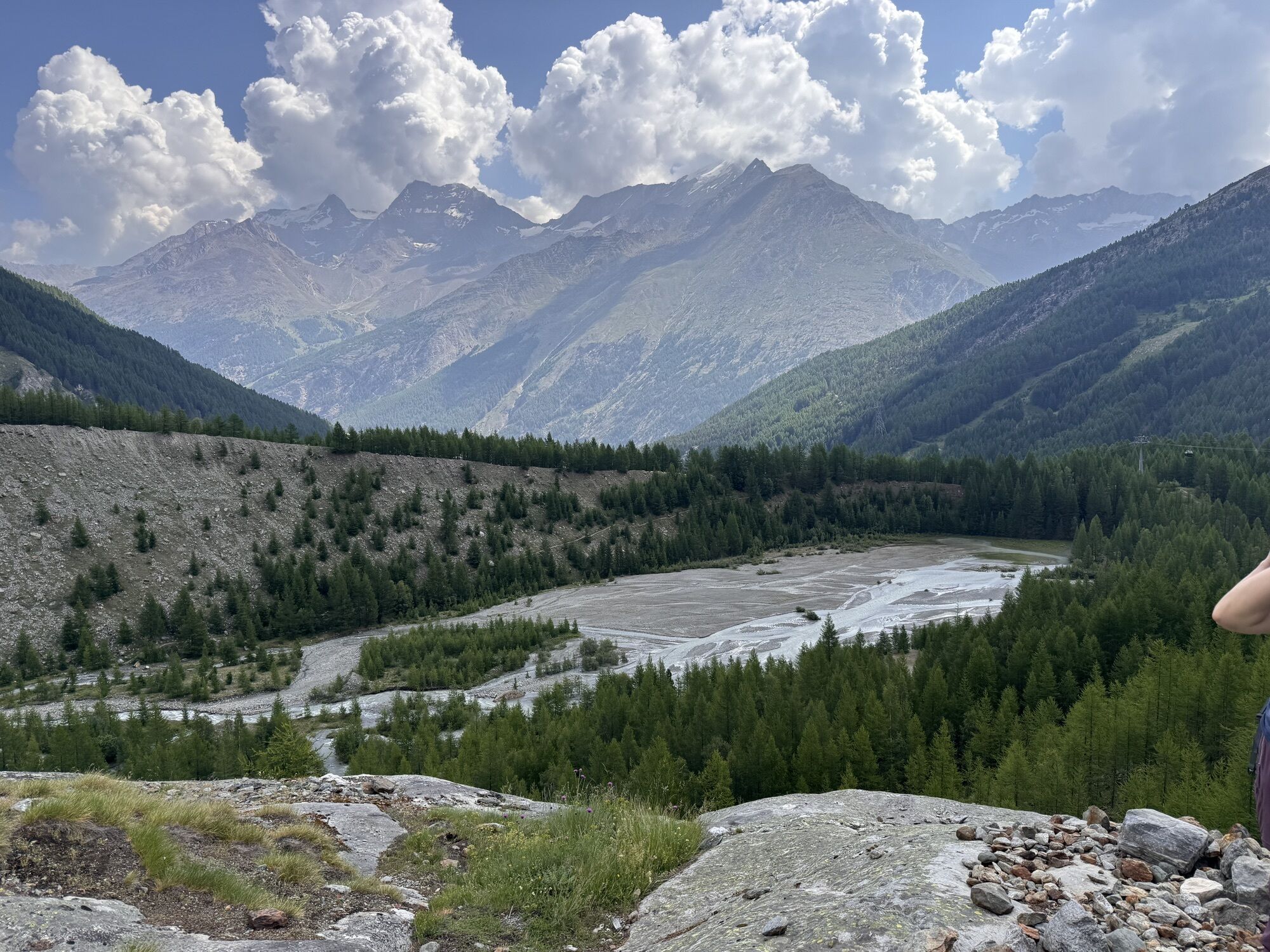
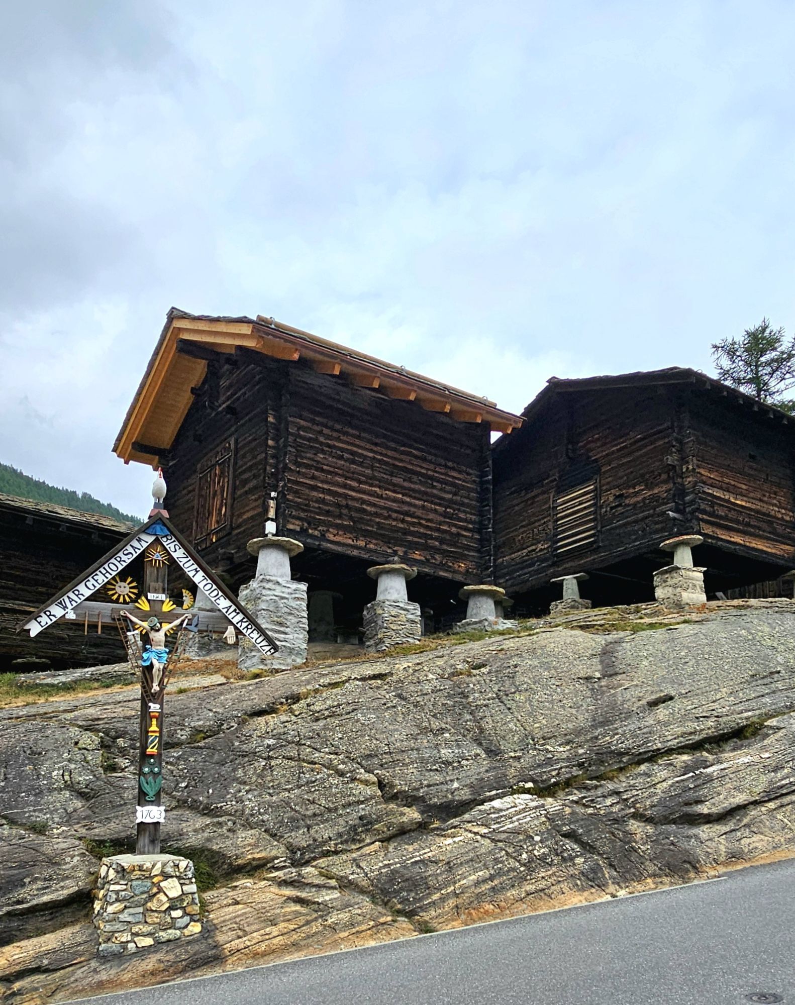
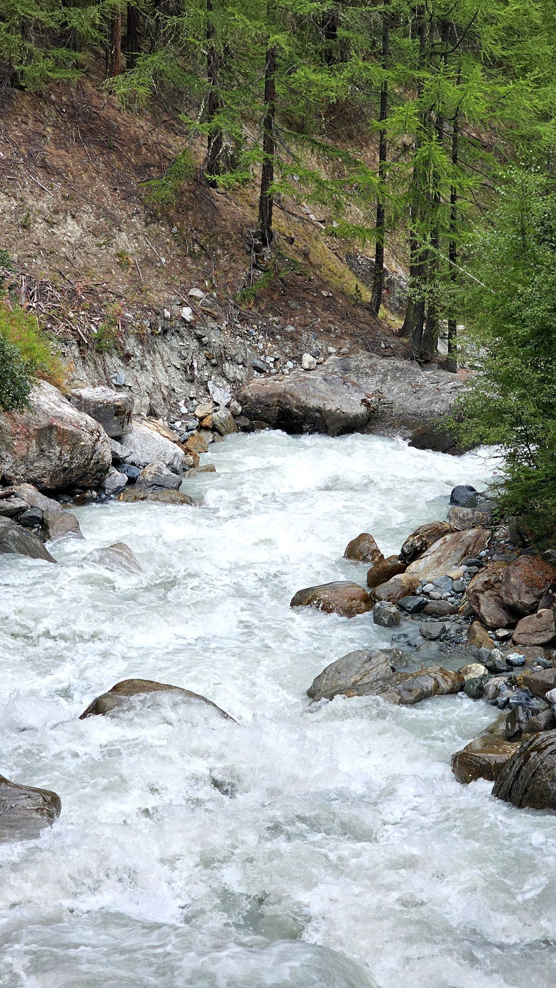
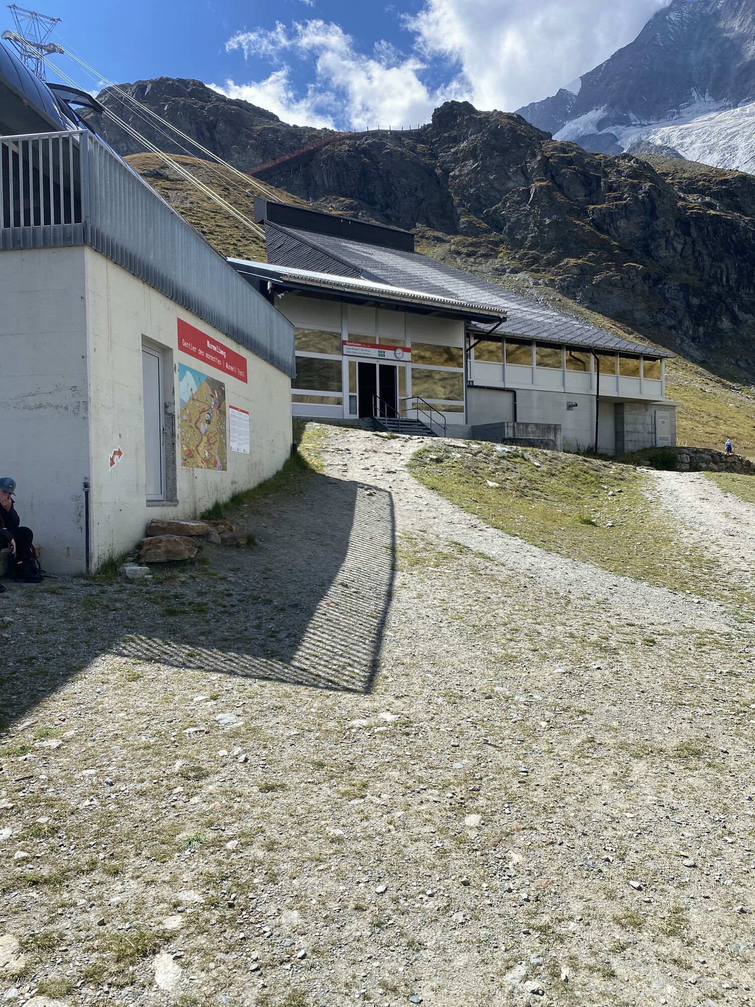
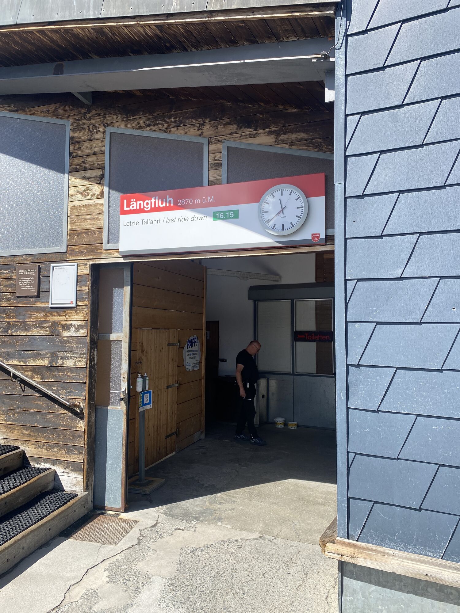
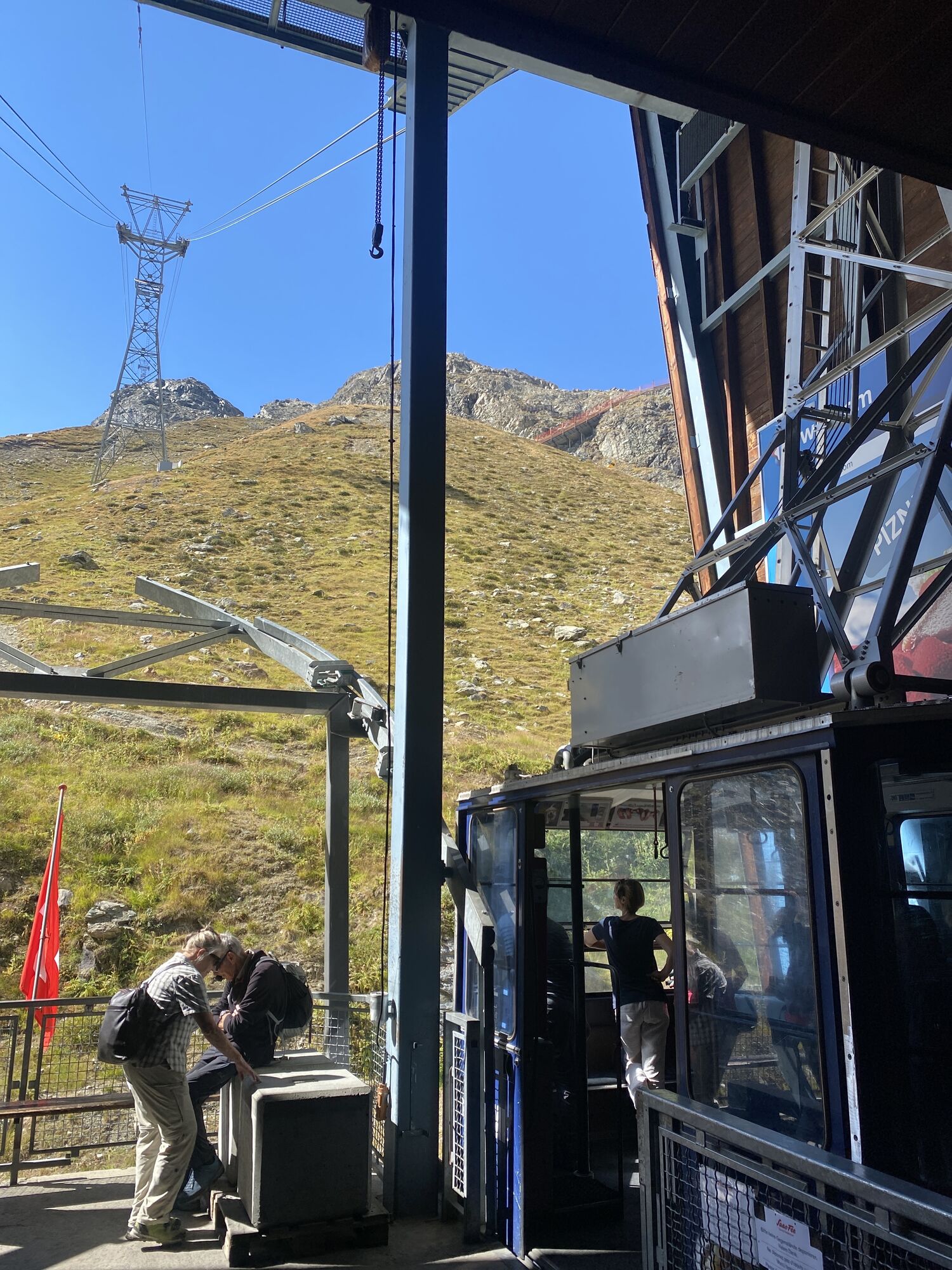
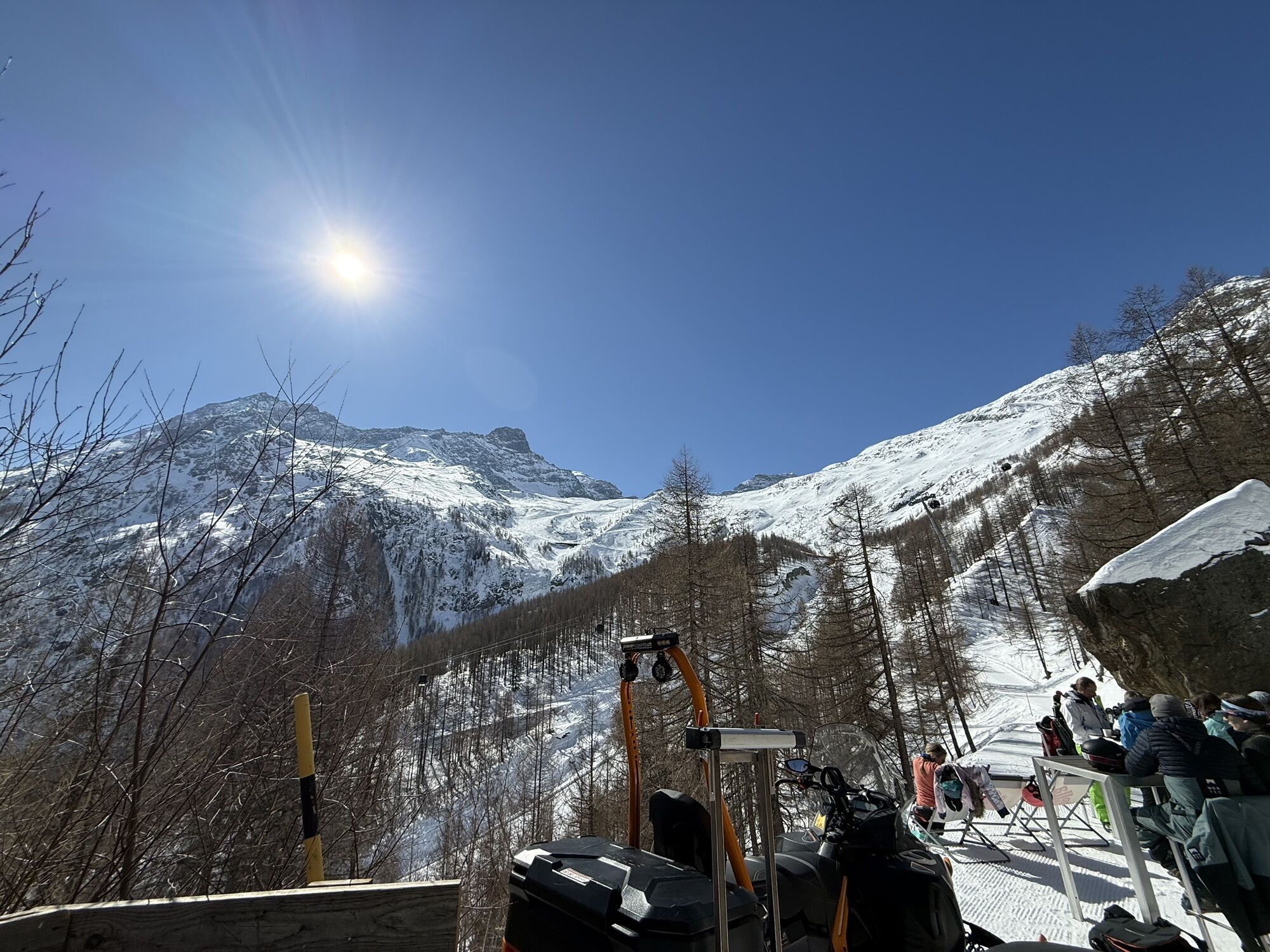
From the mountain station of the Längfluh cable car, follow the path across a ski slope and walk in view of the summit of the impressive Dom, reaching the glacier foot up to the ski bridge. The path, which offers you a breathtaking view of the village of Saas-Fee, leads in a zigzag down to Spielboden. Then walk via another zigzag path towards Saas-Fee. After the glacier alp, the hike passes through a first young larch forest up to the Gletschergrotte restaurant. From there, you cross another larch forest, walk past the glacier lake and a former mill wheel. After descending over the glacier moraine, follow the paved path back to Saas-Fee.
Áno
We recommend:
Good footwear Weather-dependent clothing: always carry a waterproof vest Headgear Sunscreen Water bottle Picnic Camera Binoculars (optional) Hiking poles (optional) Printout of the hiking trail (click "Print" to download)For certain hikes:
SwimsuitThe mountains, a place of joy to share and respect. The mountain world is a place to meet and experience unforgettable moments together - whether by bike or on foot. For all users to benefit from it, it is essential to share this space with respect for nature and agriculture. Respectful behavior allows everyone to practice their leisure activities under the best conditions. Inform yourself about recommendations and rules. Assess your own abilities and fitness well. Using the various routes is always at your own risk.
For all hikes:
Carry a map with you. Download the complete description of the hiking trail with a large-scale map by clicking "Print" at the top right of the page. Use only marked hiking trails and observe all signs and instructions - for your own safety, the protection of grazing animals, and out of respect for wildlife. Close gates after passing through. Be considerate of other trail users, plants, and animals.For mountain hikes:
Carry additional sun protection. UV rays at high altitudes can be very strong, even in cloudy weather. Plan your hike carefully: consider the required fitness level of all participants, weather forecasts, and seasonal dependencies. Weather conditions in the mountains can change very quickly and without warning. Appropriate clothing and enough provisions (food and drink) are very important. In unstable weather, it is better to turn back early.For high alpine hikes:
Inform your family about your hiking route. If possible, avoid traveling alone. Do not go on glaciers without a mountain guide. Observe warning signs indicating dangers at riverbanks, along watercourses below dams and reservoirs: water levels can rise rapidly and without warning.From Visp, take the ascending road towards Zermatt/Saas Fee. At the roundabout after Stalden, follow the signs to Saas Fee to the car park at the entrance to the car-free holiday village of Saas-Fee.
From Geneva or Brig, take the train to Visp. From the bus terminal, take the PostAuto no. 511 to Saas-Fee.
A large paid car park and parking spaces are located at the entrance to the car-free holiday village.
Find more information about the destination here:
Saas-FeeMake a stop in the Spielboden area and watch the tame marmots eating right out of your hand.
 Získajte prehľad
Vždy naživo na mieste s viac ako 9 500 webovými kamerami. bergfex Ako používateľ Pro si teraz môžete pozrieť príslušné webové kamery pre mnohé zájazdy v aplikácii zájazdy z. Môžete si tak priamo prezerať aktuálne podmienky.
Získajte prehľad
Vždy naživo na mieste s viac ako 9 500 webovými kamerami. bergfex Ako používateľ Pro si teraz môžete pozrieť príslušné webové kamery pre mnohé zájazdy v aplikácii zájazdy z. Môžete si tak priamo prezerať aktuálne podmienky.


Obľúbené výlety v okolí
-
4,9
Allalinhorn vom Mittelallalin über Normalweg
strednáVysoké turné 6,15 km -
3,3
Europaweg Grächen - Europahütte - Zermatt
ťažkéTuristika 39,9 km -
3,6
Höhenweg Kreuzboden - Almagelleralp - Saas-Almagell
Turistika 9,74 km -
3,5
Waldweg Saas-Fee - Saas-Almagell
Turistika 2,83 km -
4,7
Weissmies Südgrat von Saas Almagell
strednáVysoké turné 20,5 km -
4,8
Marmot mountain path Spielboden
strednáTuristika 3,89 km -
3,8
Höhenweg Saas-Fee - Grächen
Turistika 12,0 km -
5,0
Via ferrata Jägihorn
ťažkéVia ferrata 6,14 km -
4,5
Ibex path
strednáTuristika 9,02 km -
5,0
Mountain trail Kreuzboden - Hohsaas
strednáTuristika 4,65 km
Turistika a stopovanie


Nenechajte si ujsť ponuky a inšpiráciu na ďalšiu dovolenku
Vaša e-mailová adresa bol pridaný do poštového zoznamu.





