



Gommer ridge route: Oberwald - Münster

Úroveň náročnosti: T2
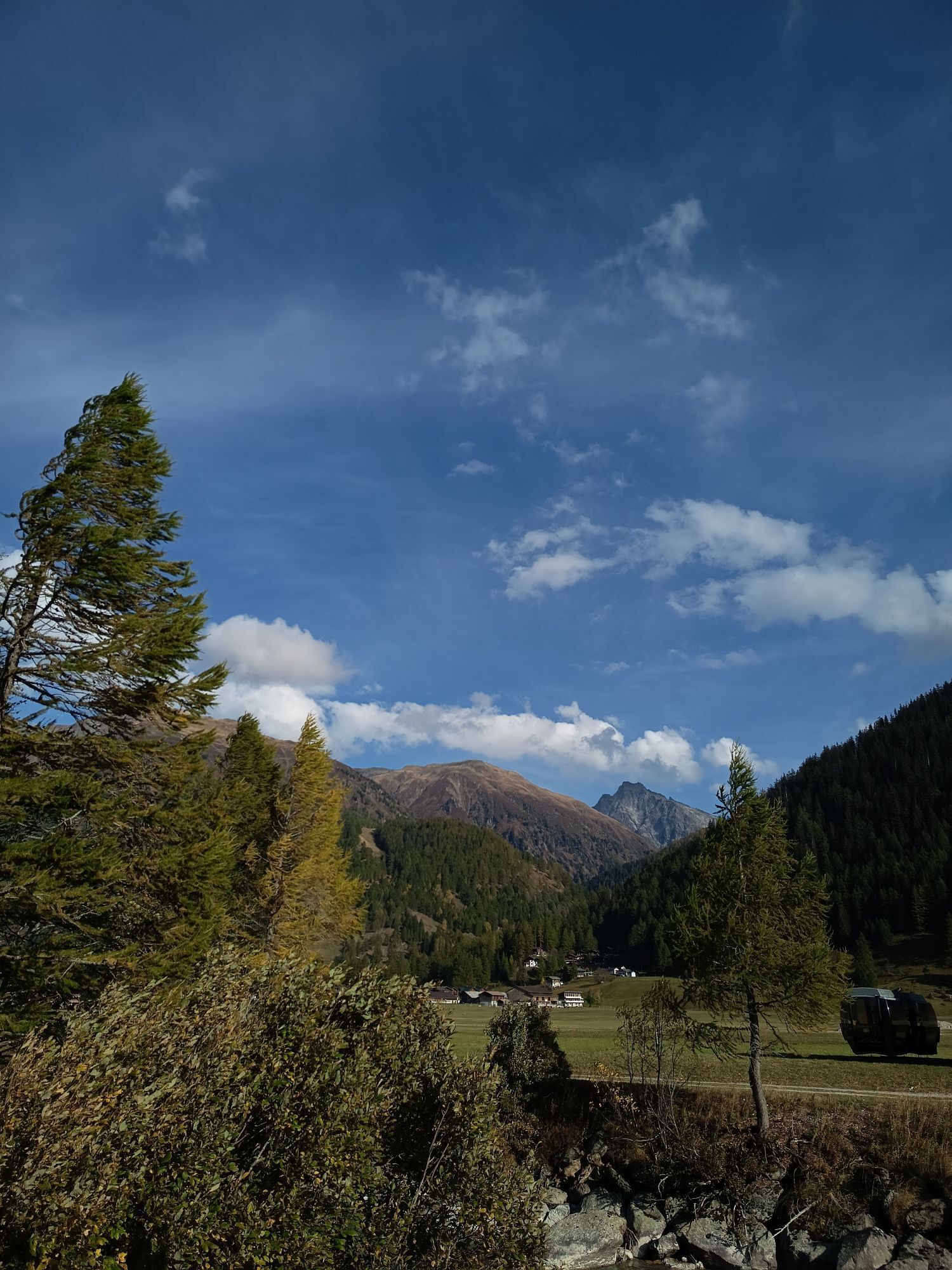
The first stage of the Gommer ridge route leads from Oberwald, the first mountain village of the young Rhone valley, to Münster. The hiking trail offers sections through pleasantly fragrant larch forests...
The first stage of the Gommer ridge route leads from Oberwald, the first mountain village of the young Rhone valley, to Münster. The hiking trail offers sections through pleasantly fragrant larch forests and magnificent views of the white peaks of the Valais four-thousanders.
As a convenient one-day route of the Gommer ridge route, the section from Oberwald to Münster is recommended. Flowers usually only seen in books line the path. In the valley below lie sun-baked villages and dreamlike hamlets. The route runs along the sunny side of the high valley, between Oberwald and Münster.



Oberwald, station - Oberwald, village - Jostbach - Grimselweg junction - Gadestatt - Nessel - Bine - Löuwene - Münstigerbach - Münster, station
Áno
We recommend:
Good footwear and hiking sticks Sun and rain protection as well as warm clothing Detailed maps or information material with good route preparation Provisions for your day in the open nature First aid kit and mobile phone for emergenciesUse of the hiking trails is at your own risk. Obergoms Tourism AG denies any liability and assumes no responsibility for the accuracy and completeness of the information on this website.
Carry a hiking map or download the complete description of the hiking trail with a large-scale map. Use only signposted trails and observe all markings and signs - for your own safety, to protect the landscape, and out of respect for wildlife. Behave considerately towards other trail users. Take your waste and the waste of others with you.
Weather conditions in the mountains can change very quickly and without warning. Appropriate clothing and enough provisions (food and drink) are very important. In unstable weather, it is better to turn back early.
Carry additional sun protection. UV rays at high altitude can be very strong, even under cloudy skies.
Plan your route carefully and thoroughly. Inform yourself about the current conditions and weather in advance. The summer report provides valuable information regarding the region.
From Brig, follow the cantonal road no. 19 (Furka road) for 40 km to Oberwald.
Goms is also well connected from the Zurich / Lucerne region via Andermatt - Furka car shuttle.
With the regional trains of the Matterhorn Gotthard Railway, you can get from Brig to Oberwald in 1 hour 23 minutes. Goms is also easily accessible from the Zurich / Lucerne region via Andermatt - Furka Base Tunnel.
The train and bus timetables can be found at www.sbb.ch.
T2
At Gadestatt above Obergesteln, you can order wood-fire cooked Cholera with prior reservation.
More information at www.goms.ch
Webové kamery z prehliadky


Obľúbené výlety v okolí
-
5,0
Circular hike from Grimsel Pass - Sidelhorn via Jostsee
strednáTuristika 8,47 km -
5,0
9 lake-trail
ťažkéTuristika 17,3 km -
5,0
Gelmersee-Tour
svetloTuristika 9,03 km -
Furka Pass – Rhone Glacier
svetloTuristika 3,59 km -
4,8
Ciaspolata al Rifugio Maria Luisa
strednáSnežnice 11,2 km -
5,0
Um den Gelmersee zur Gelmerhütte
strednáTuristika 9,30 km -
3,5
Circular hike Furka Pass-Tällistock
strednáTuristika 11,0 km -
Via Alta Vallemaggia
ťažkéTuristika 169,7 km -
von Albert-Heim-Hütte via Nepali Highway und Sidelenhütte nach Furkapass
ťažkédiaľková pešia trasa 8,40 km -
5,0
Toce Waterfall - Riale - San Giacomo Pass road
strednáTuristika 10,9 km
Turistika a stopovanie


Nenechajte si ujsť ponuky a inšpiráciu na ďalšiu dovolenku
Vaša e-mailová adresa bol pridaný do poštového zoznamu.


