



Wine, Dine & Hike in the Stammertal

Úroveň náročnosti: T1
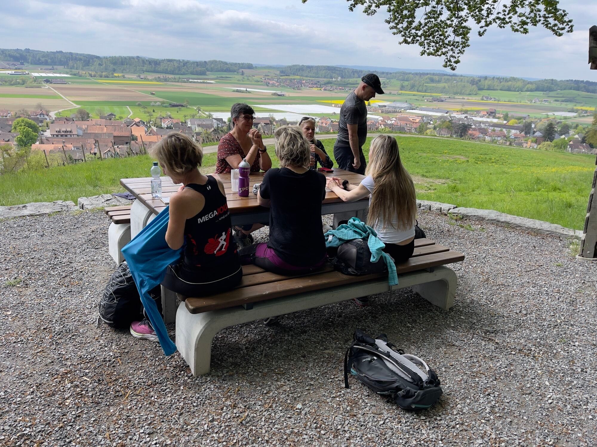
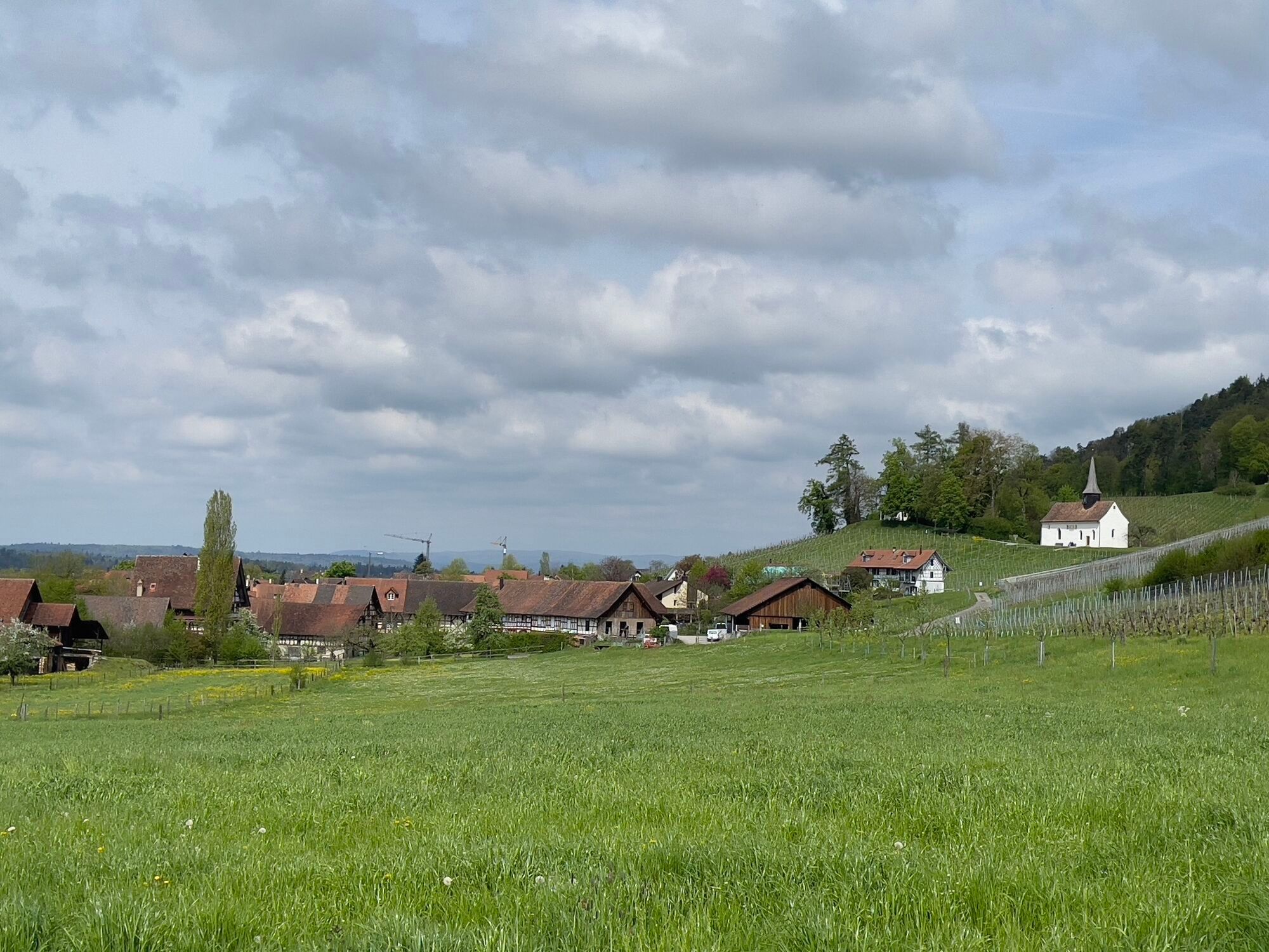
On the well over 12-kilometer-long wine hiking trail, you enjoy the culture, nature and culinary specialties of the Stammertal. You start at Stammheim station and walk along the hop fields typical of the...
On the well over 12-kilometer-long wine hiking trail, you enjoy the culture, nature and culinary specialties of the Stammertal. You start at Stammheim station and walk along the hop fields typical of the region up to Schwandegg Castle.
At the foot of the castle hill you will find the winery of Yvonne and Kenny Keller, whose wines you get to taste with the first course, an aperitif platter with regional products at Schwandegg Castle. Strengthened, the wine hike leads you to Oberstammheim to the Hirschen Stammheim. In the historic half-timbered house, you enjoy the wines of the Glesti family, which are served alongside a Riesling soup.
You pass the Glesti family winery on your further way towards Gallus Chapel. Shortly before the historic chapel is the Trottengarten organic farm. You get to know its biodynamic wines on your final stop at the Schwert country inn, accompanied by a fine flammkuchen.



You can reach Stammheim station from Winterthur/Stein am Rhein by the S29. From Andelfingen station, there is also a bus connection with bus 605 via Ossingen to Stammheim.
Parking spaces at Stammheim station
T1
To enjoy the accompanying offer along the wine hiking trail, prior booking/payment is necessary. Book your ticket for the Wine, Dine & Hike offer from Stammerberg to Waltalingen here.

Obľúbené výlety v okolí
-
4,7
Small Rheinfall Circular Route
svetloTuristika 3,48 km -
5,0
Hike on the panorama route of the Höri Peninsula
strednáTuristika 8,11 km -
4,8
Rundwanderweg Rheinau
svetloTuristika 6,85 km -
Circular hike Schaffhausen - Rhine Falls - Schaffhausen
strednáTuristika 10,0 km -
5,0
Stein am Rhein - Hohenklingen Castle - Stein am Rhein
strednáTuristika 7,68 km -
SwitzerlandMobility 896: Rhine Falls Circular Route
strednáTuristika 7,39 km -
3,7
Firstweg Langenmos
strednáTuristika 5,76 km -
5,0
"Hegauer Kegelspiel" Hohentwieler
strednáTuristika 7,21 km -
SchweizMobil 2: Rhine Route stage 6 (Kreuzlingen - Schaffhausen)
strednáCyklistika 47,0 km -
4,5
Circular hiking trail from Mammern on Lake Constance to the Neuburg ruins
svetloTuristika 6,73 km
Turistika a stopovanie


Nenechajte si ujsť ponuky a inšpiráciu na ďalšiu dovolenku
Vaša e-mailová adresa bol pridaný do poštového zoznamu.


