


Aargauer Weg
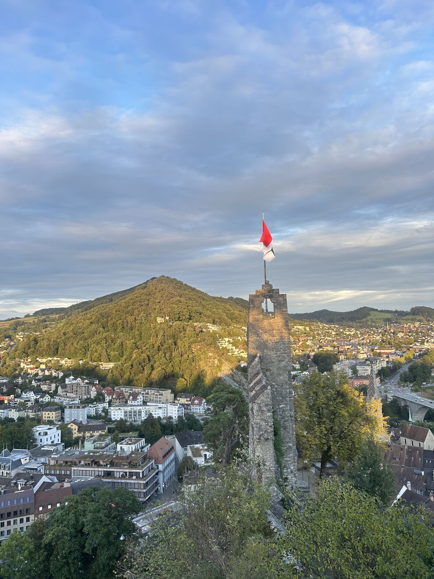

From the Frick valley, the route leads over the challenging hills of Jurapark Aargau, whose ascent is rewarded with magnificent panoramic views. The path passes through the old town of Aarau, enchanted...
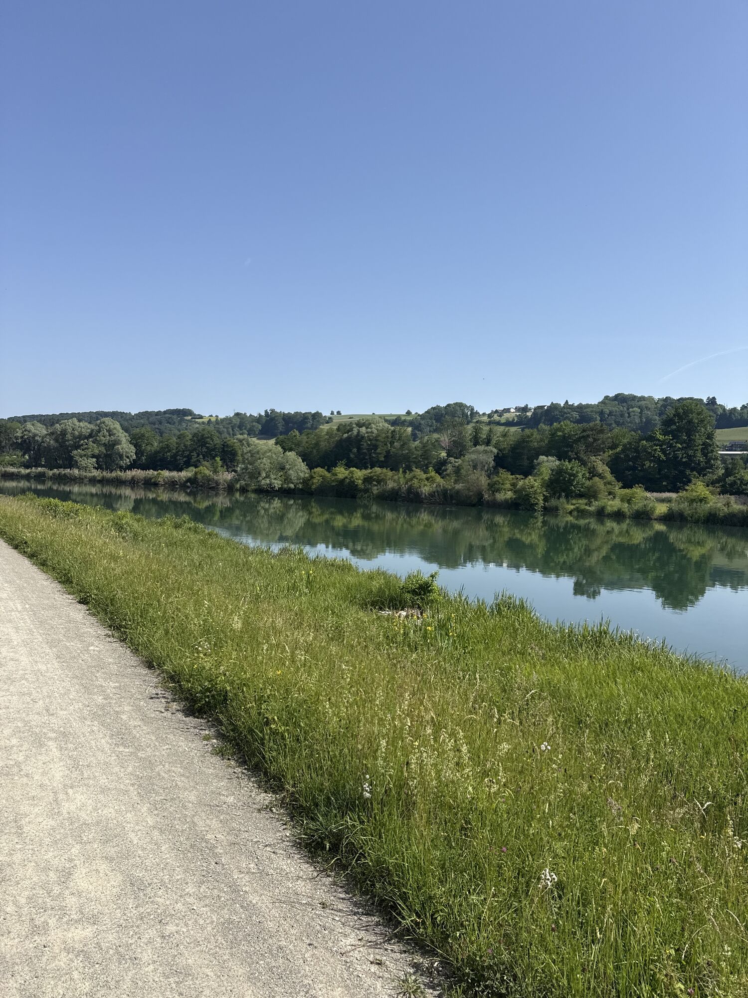
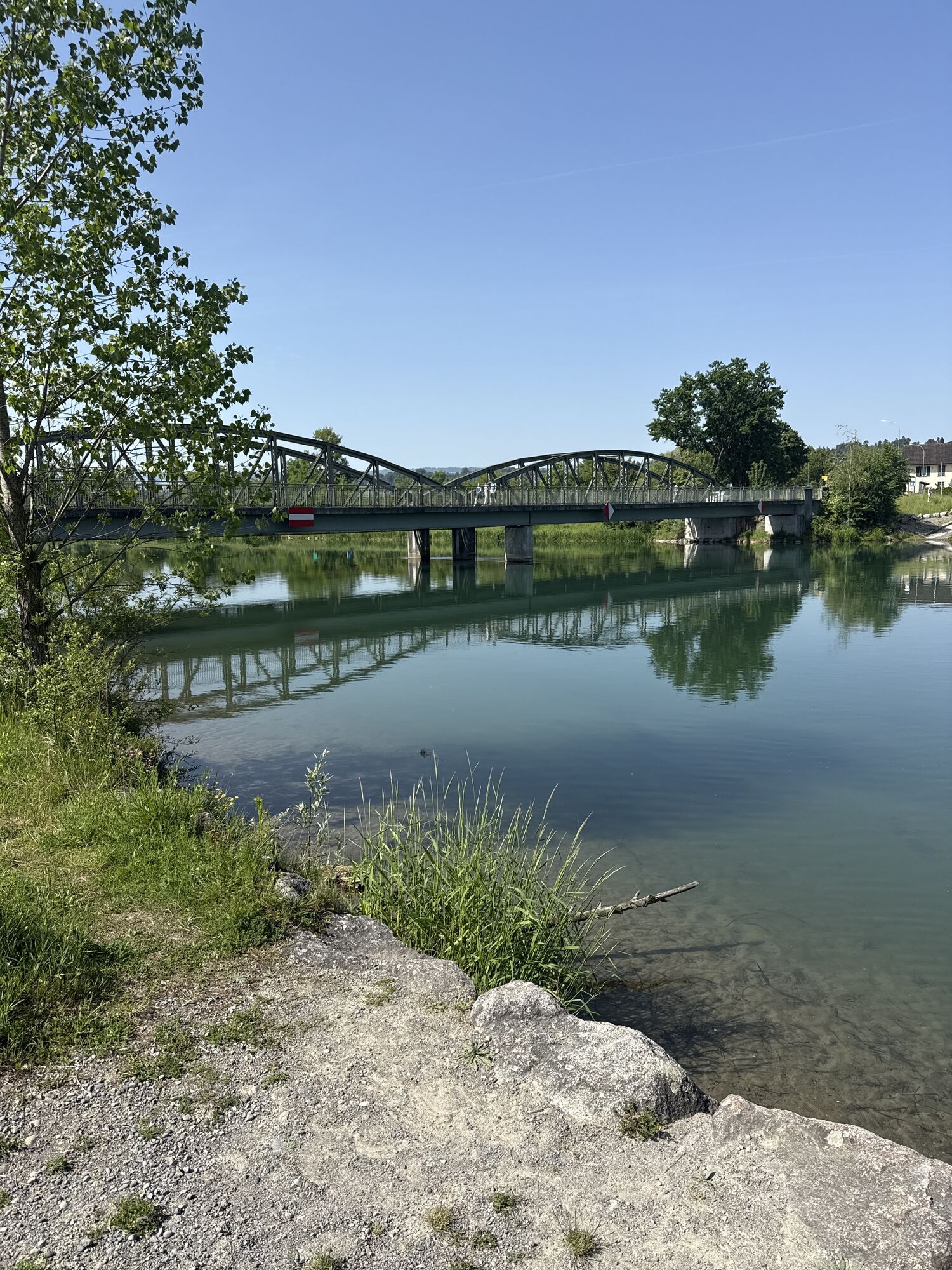
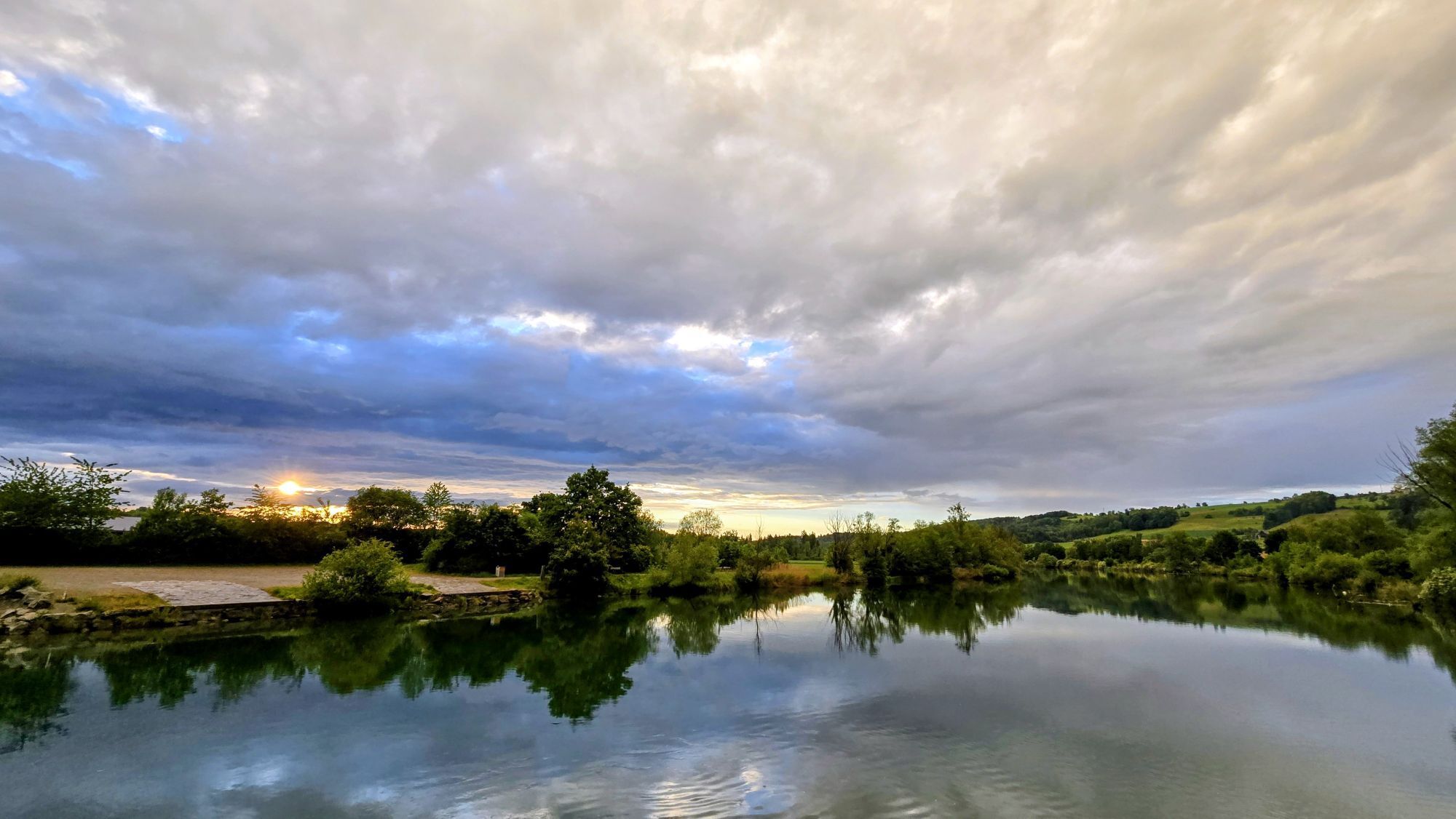
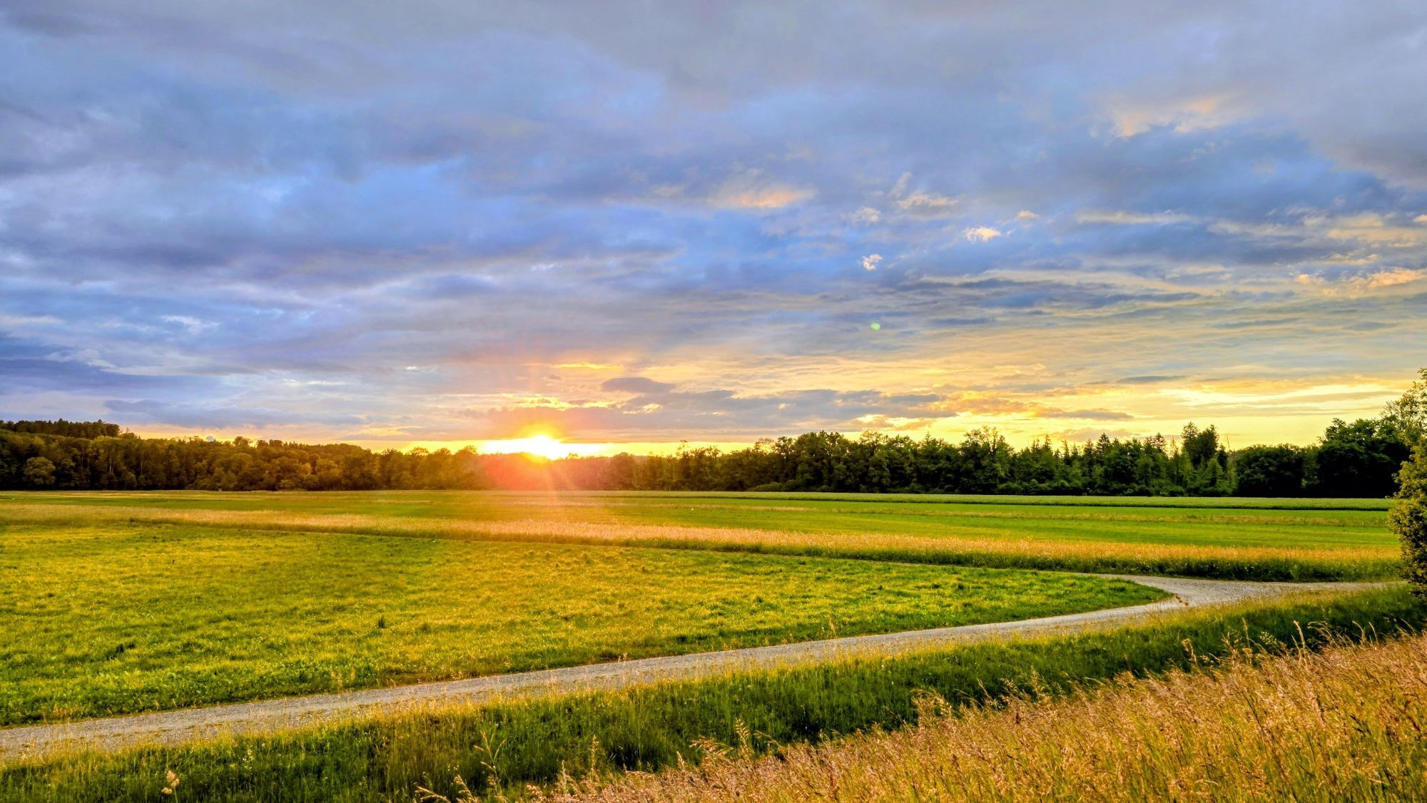
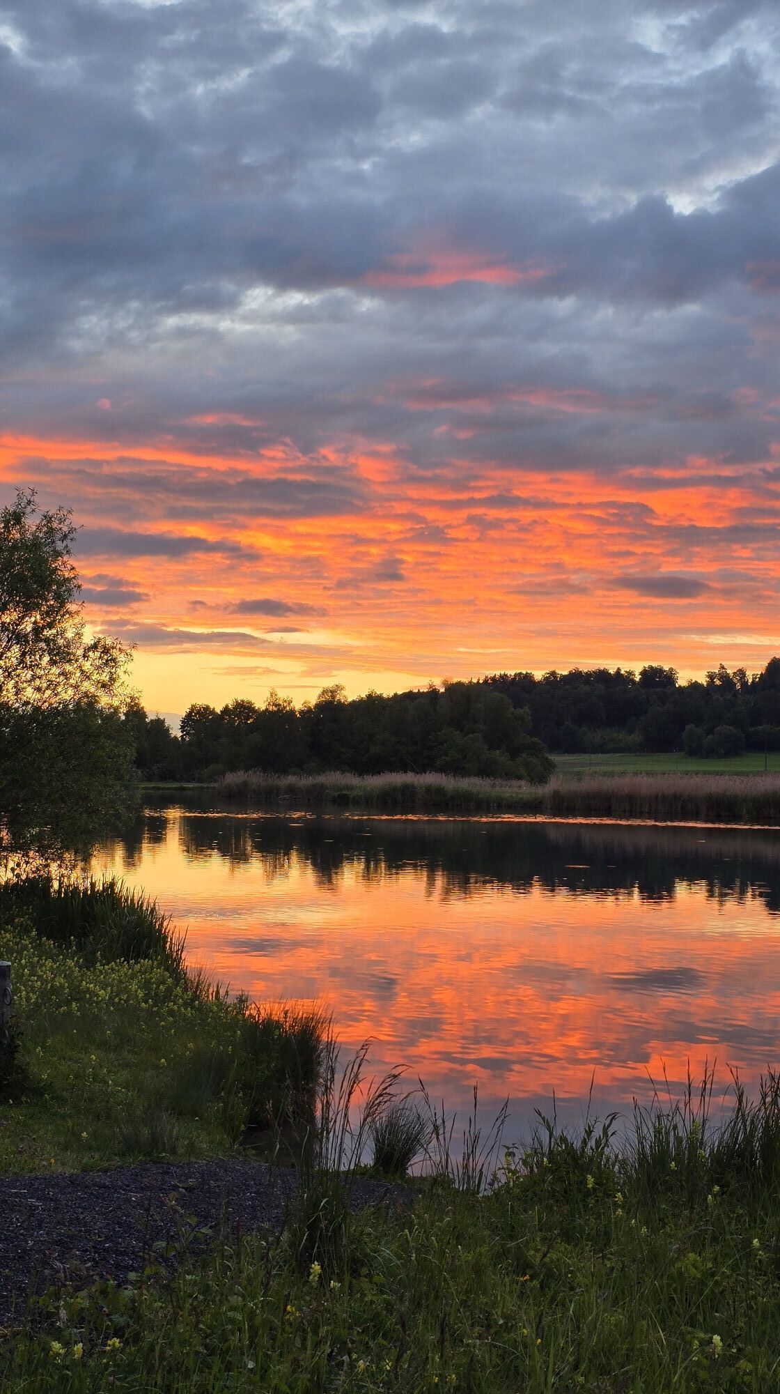
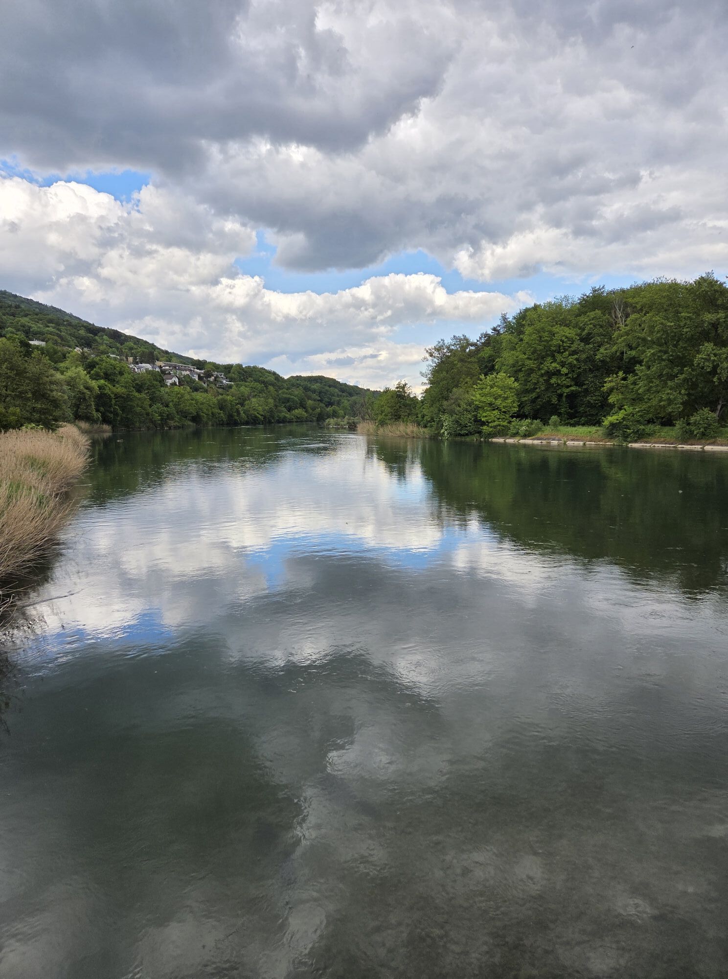
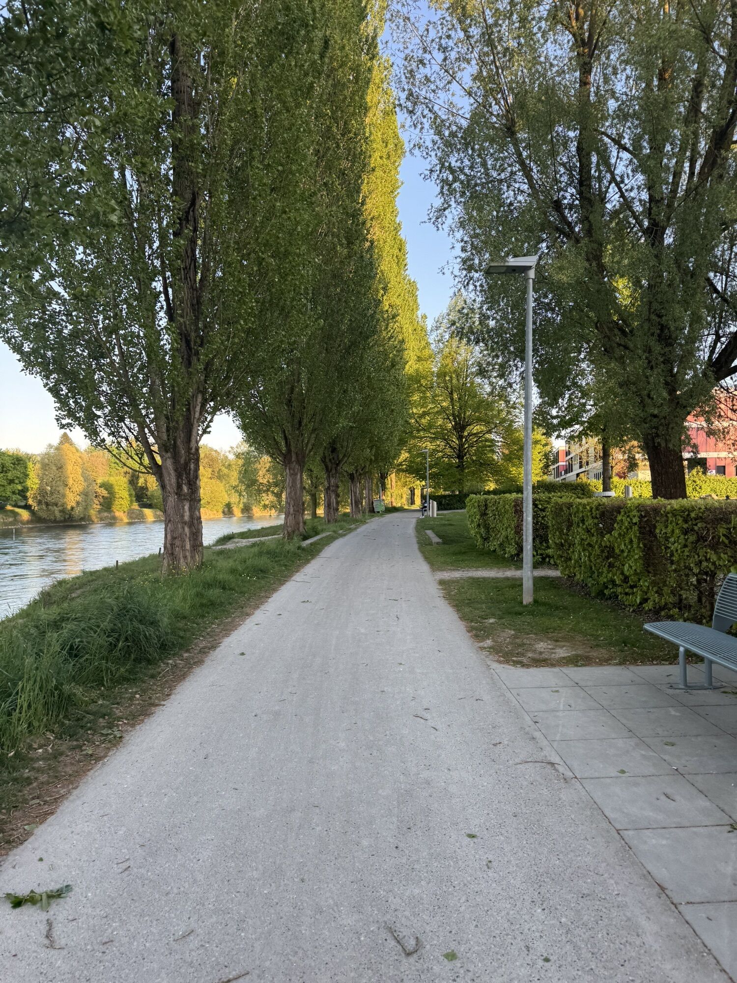
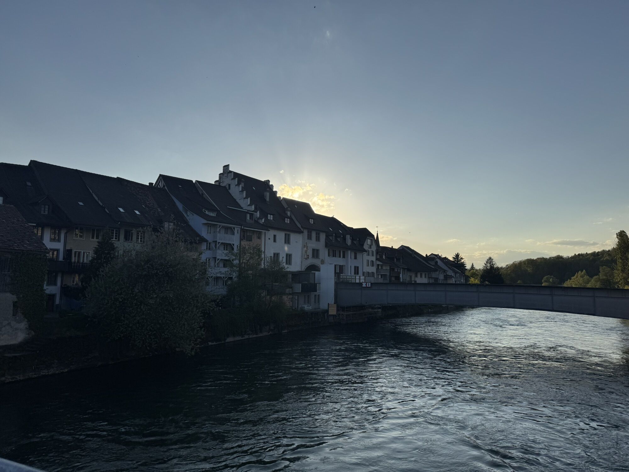
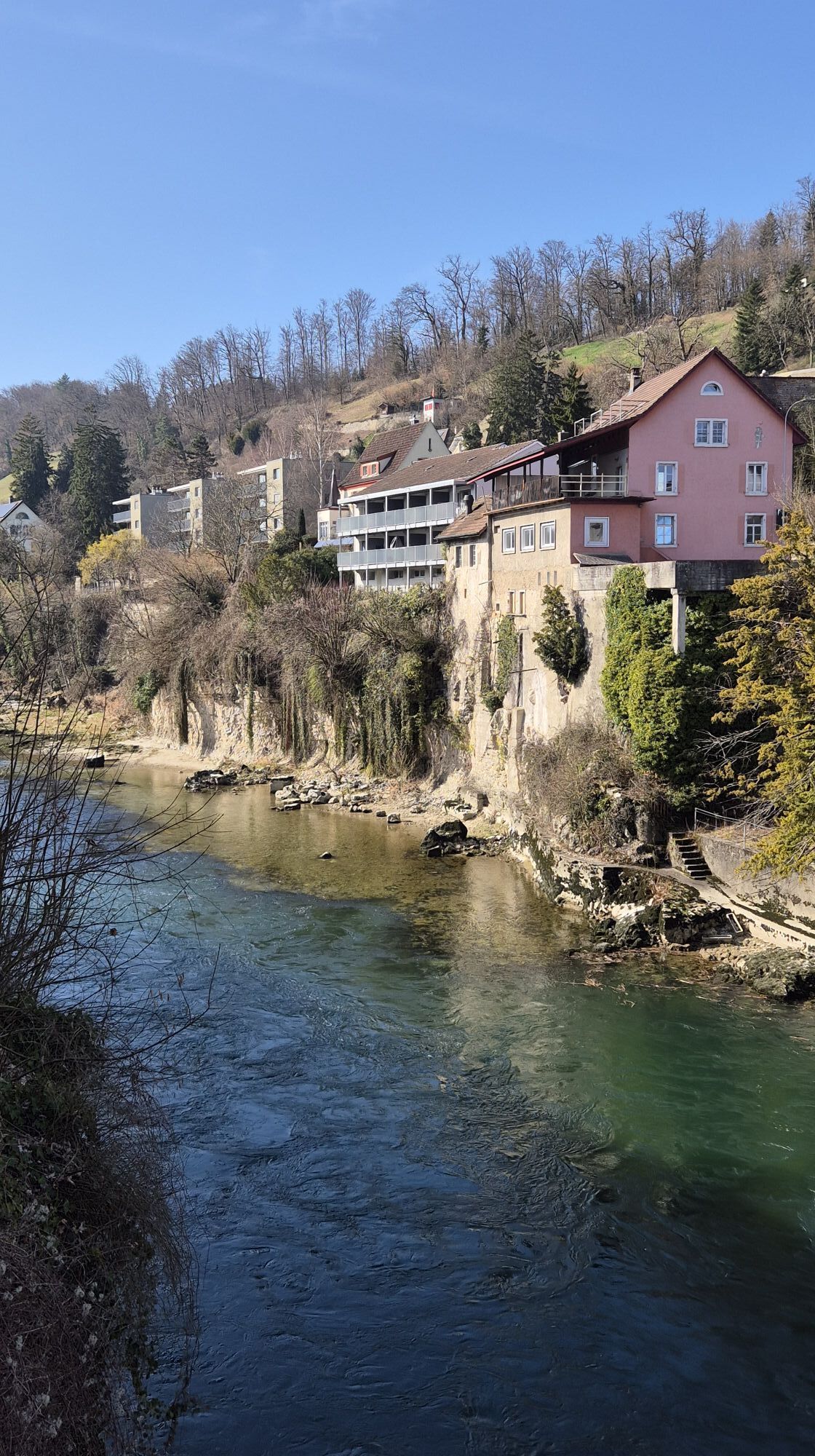
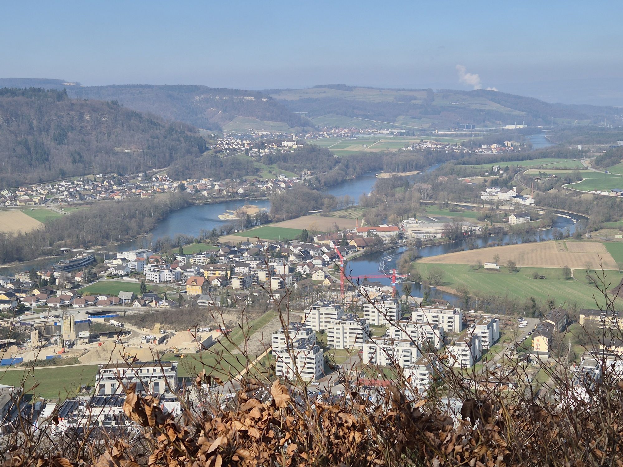
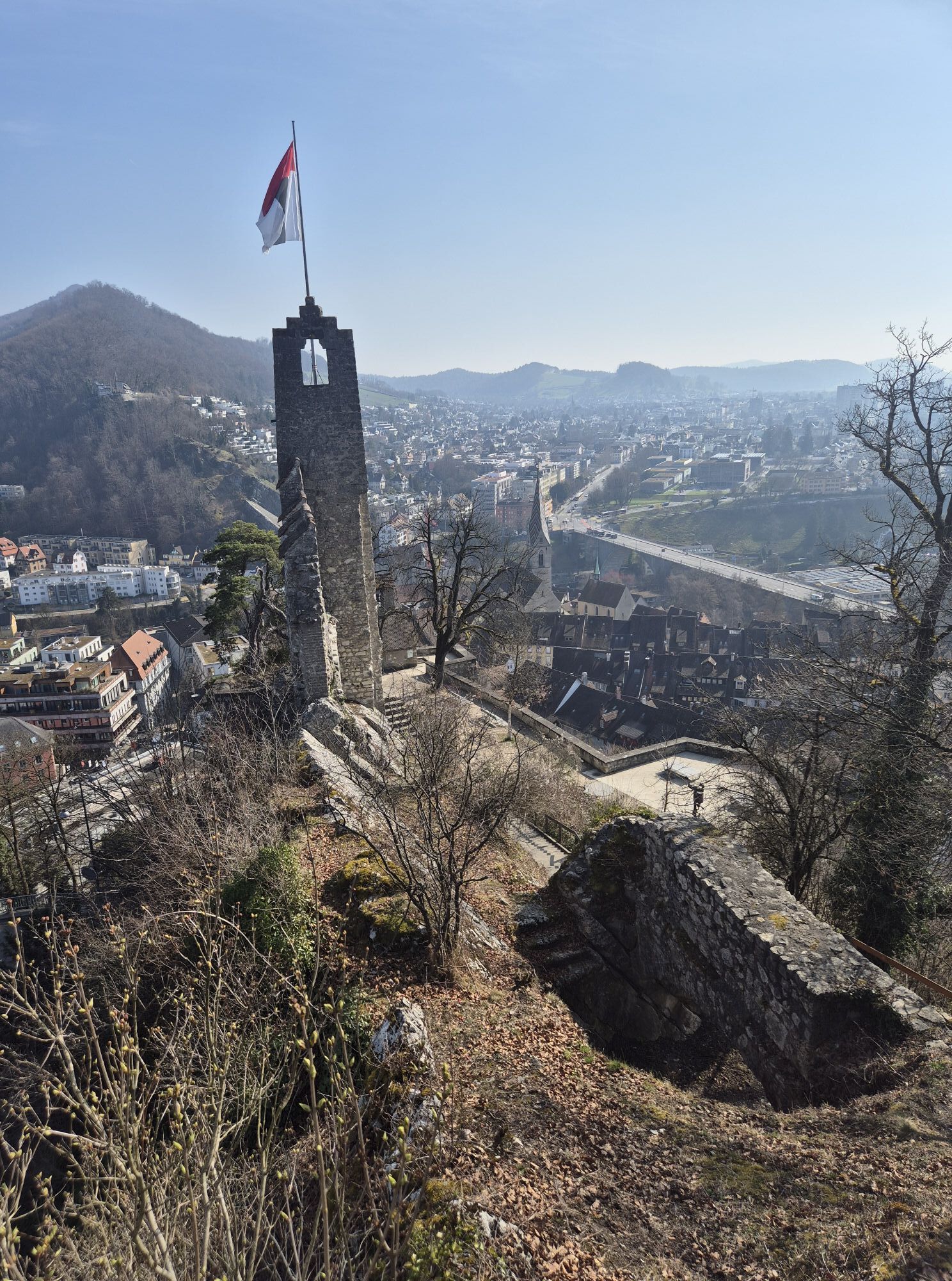
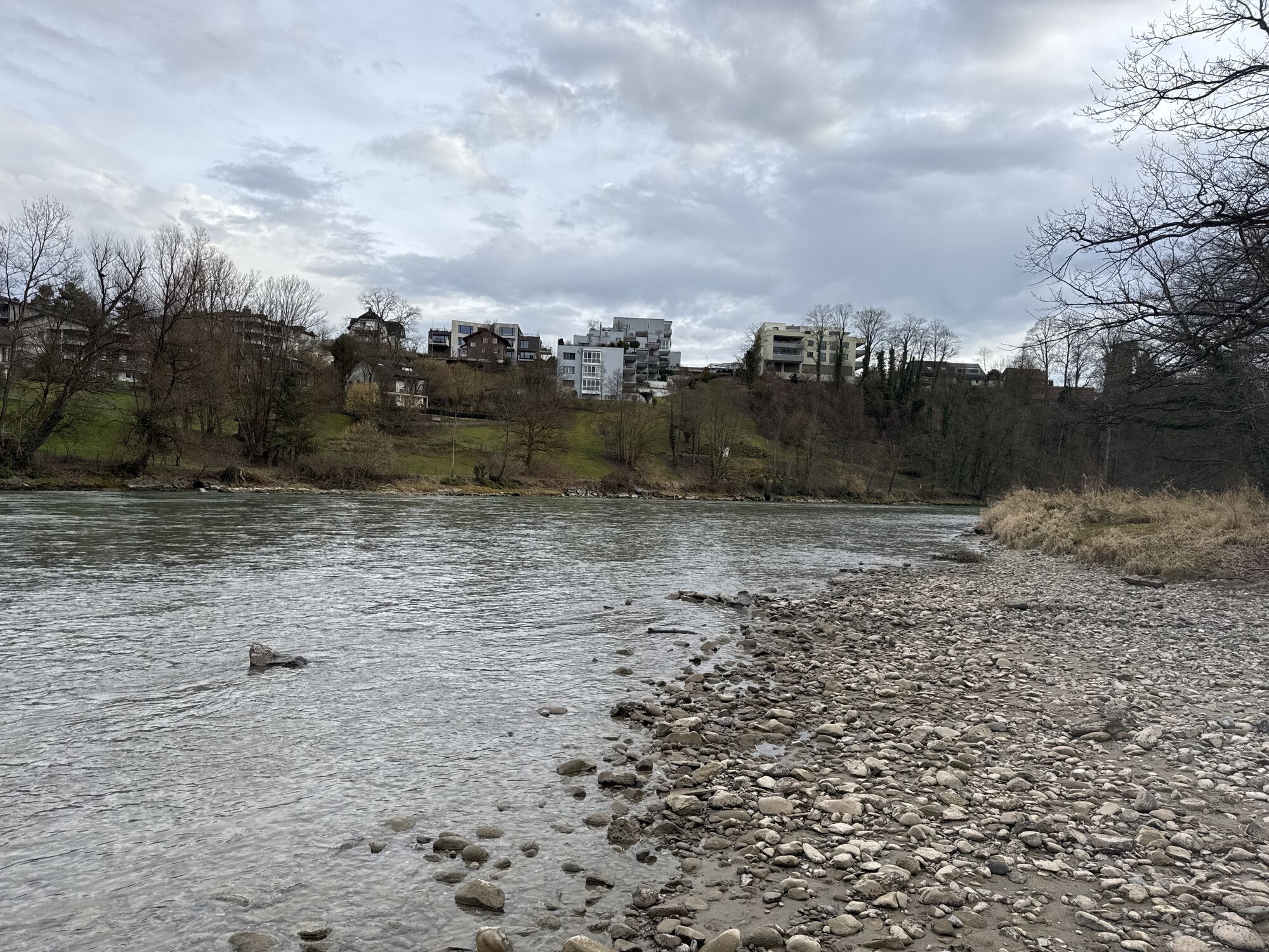
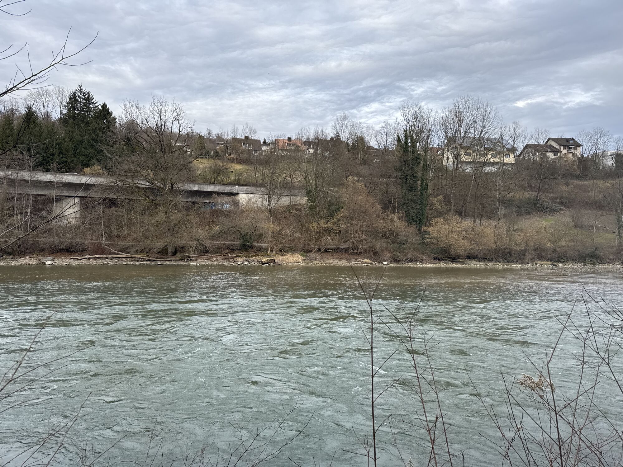
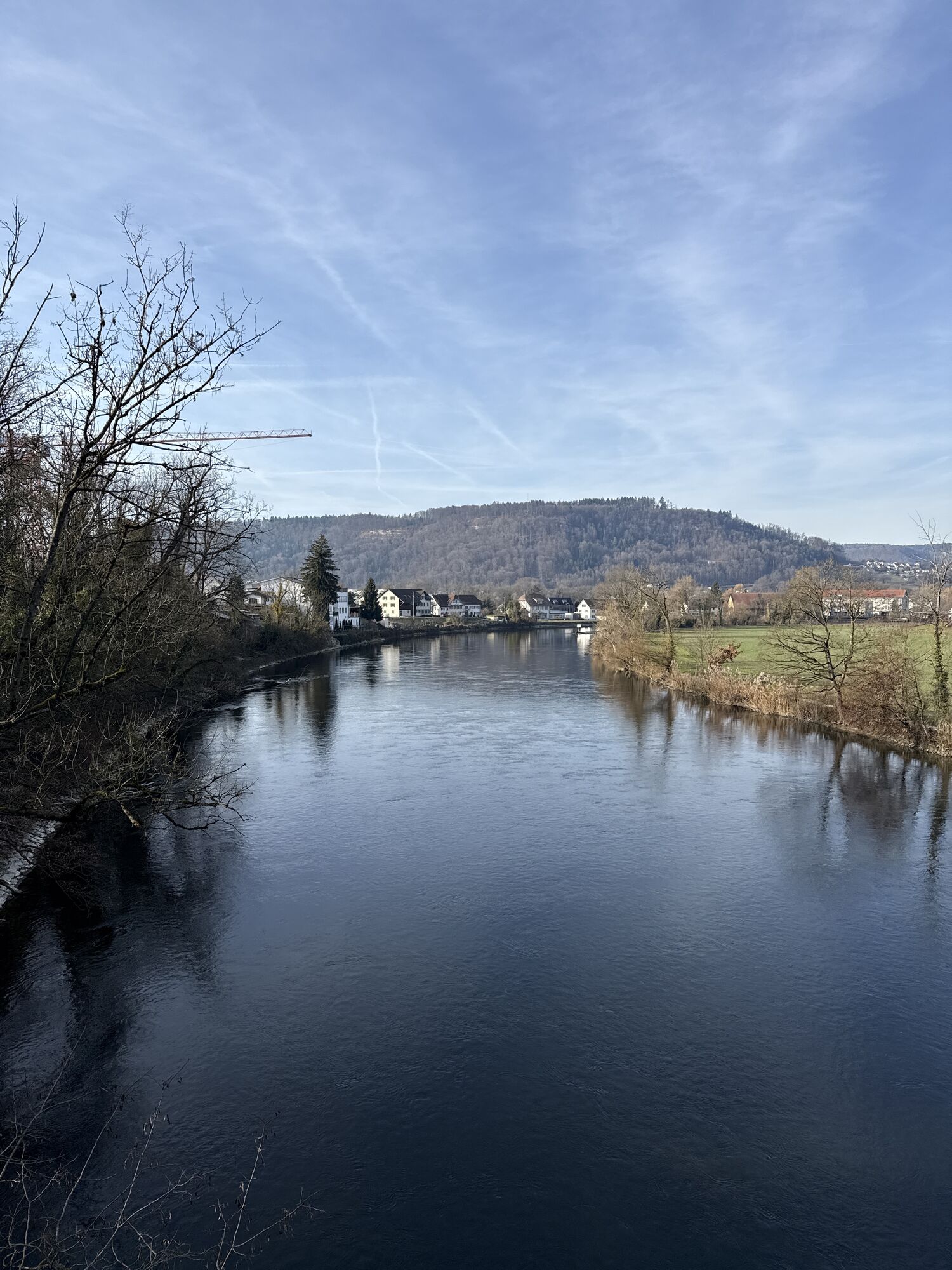
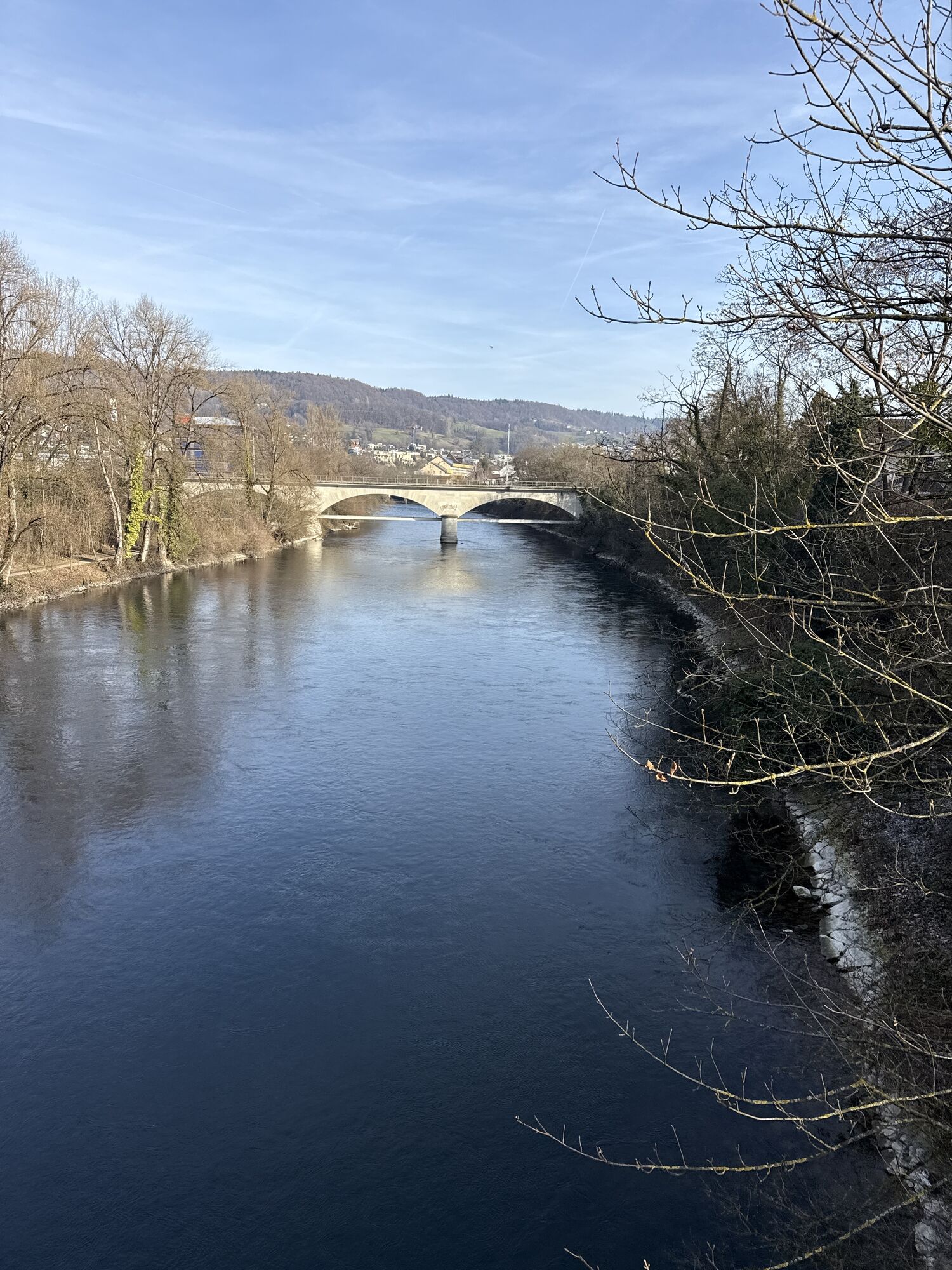
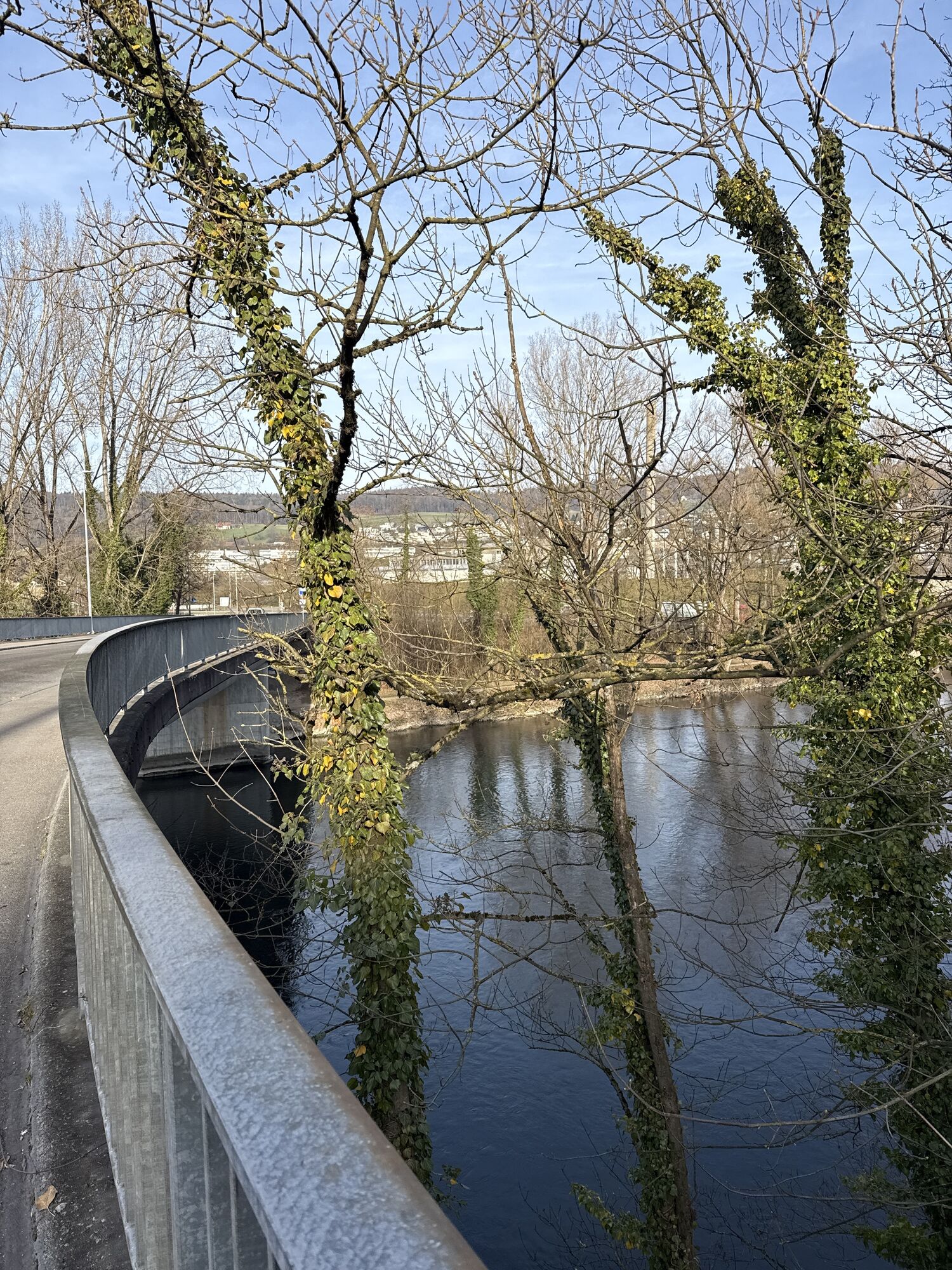
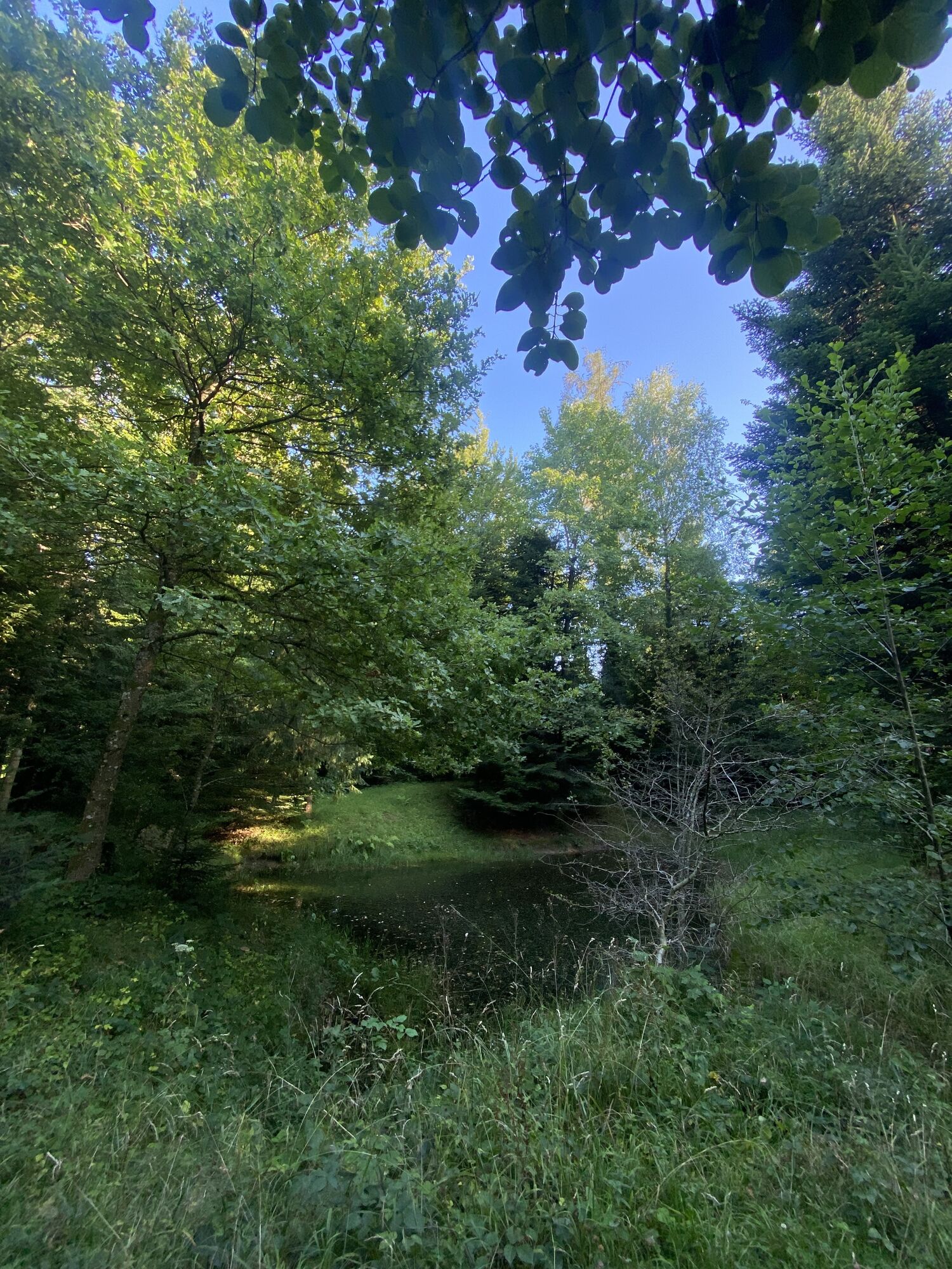
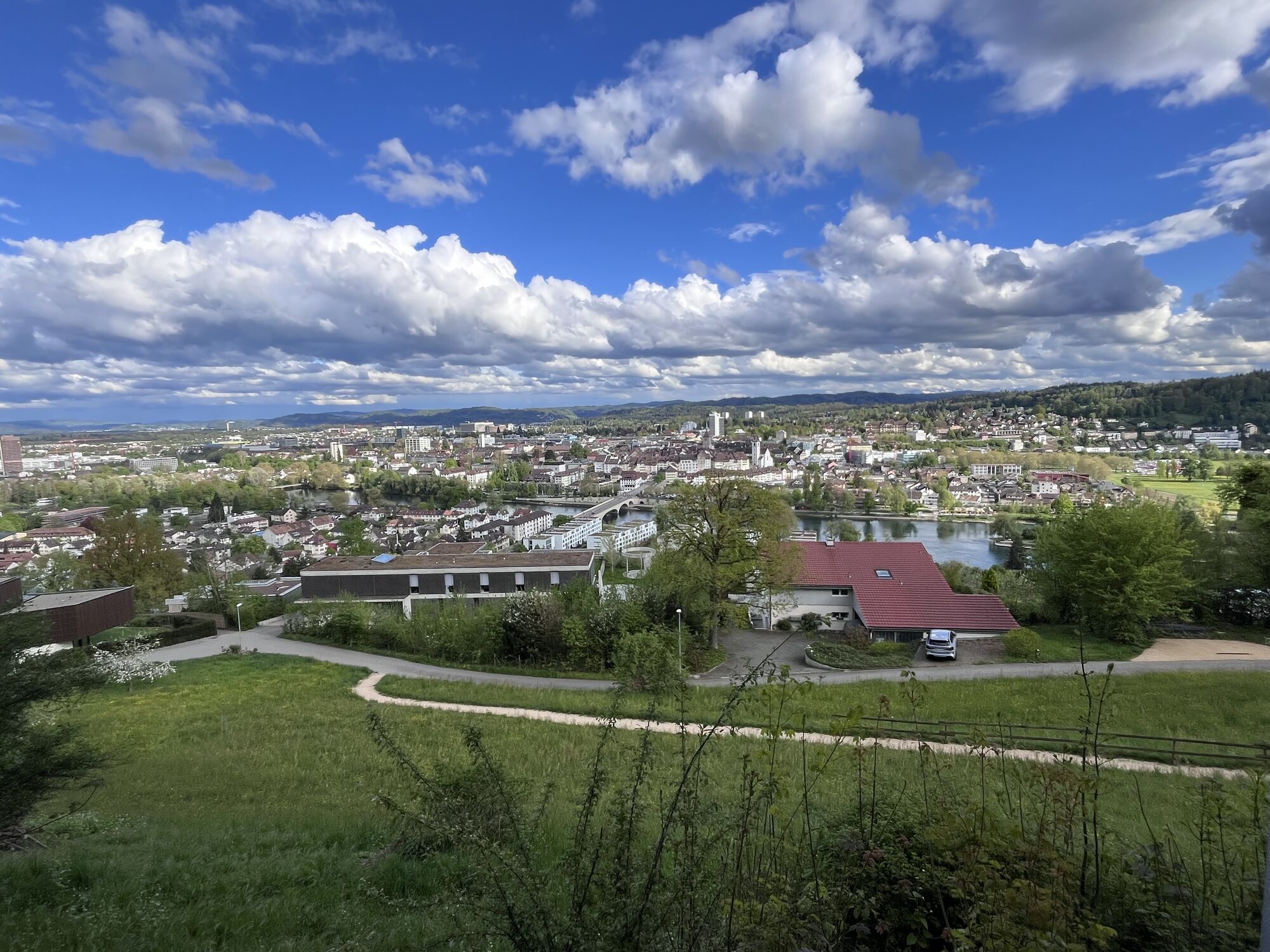
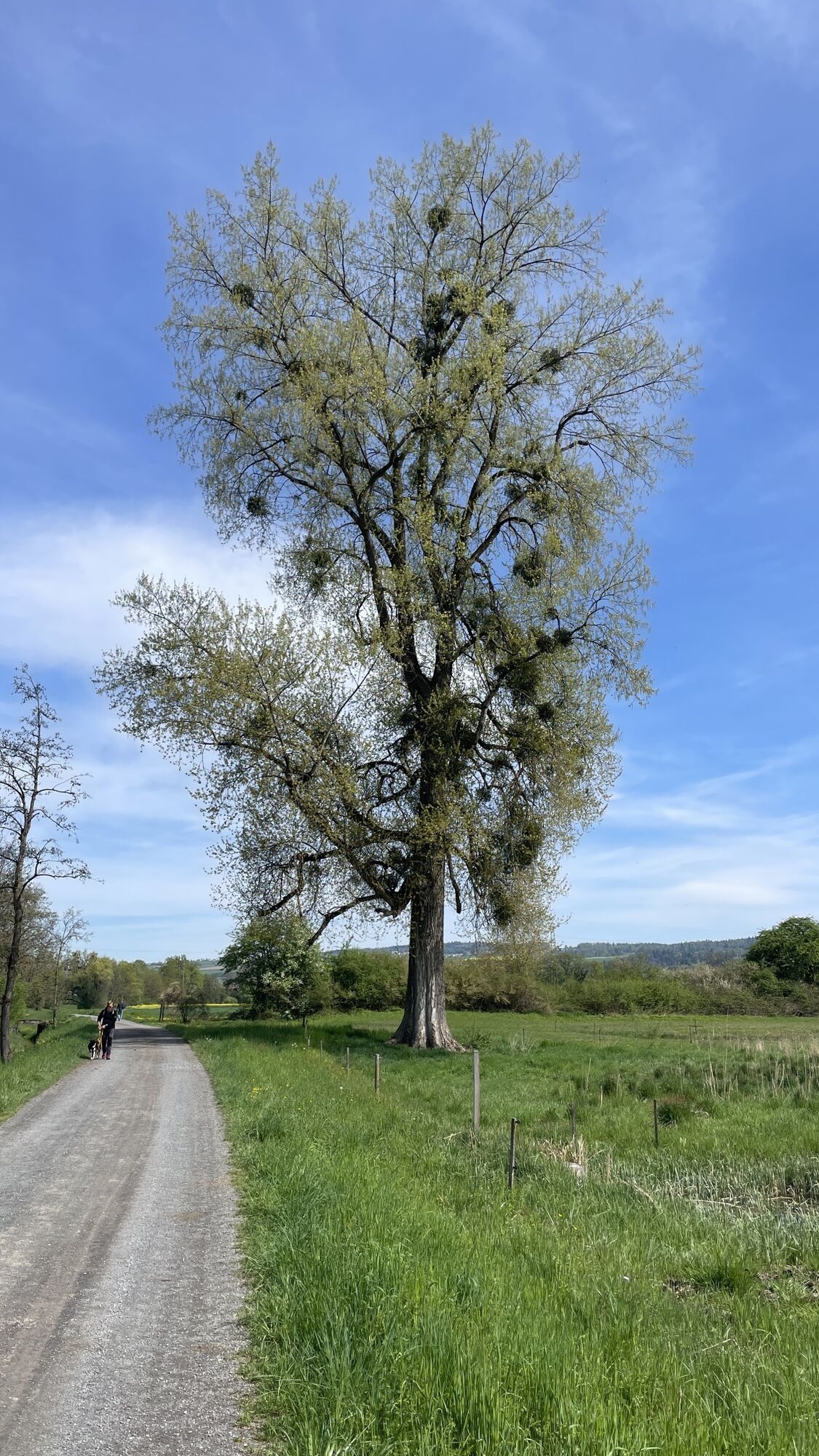
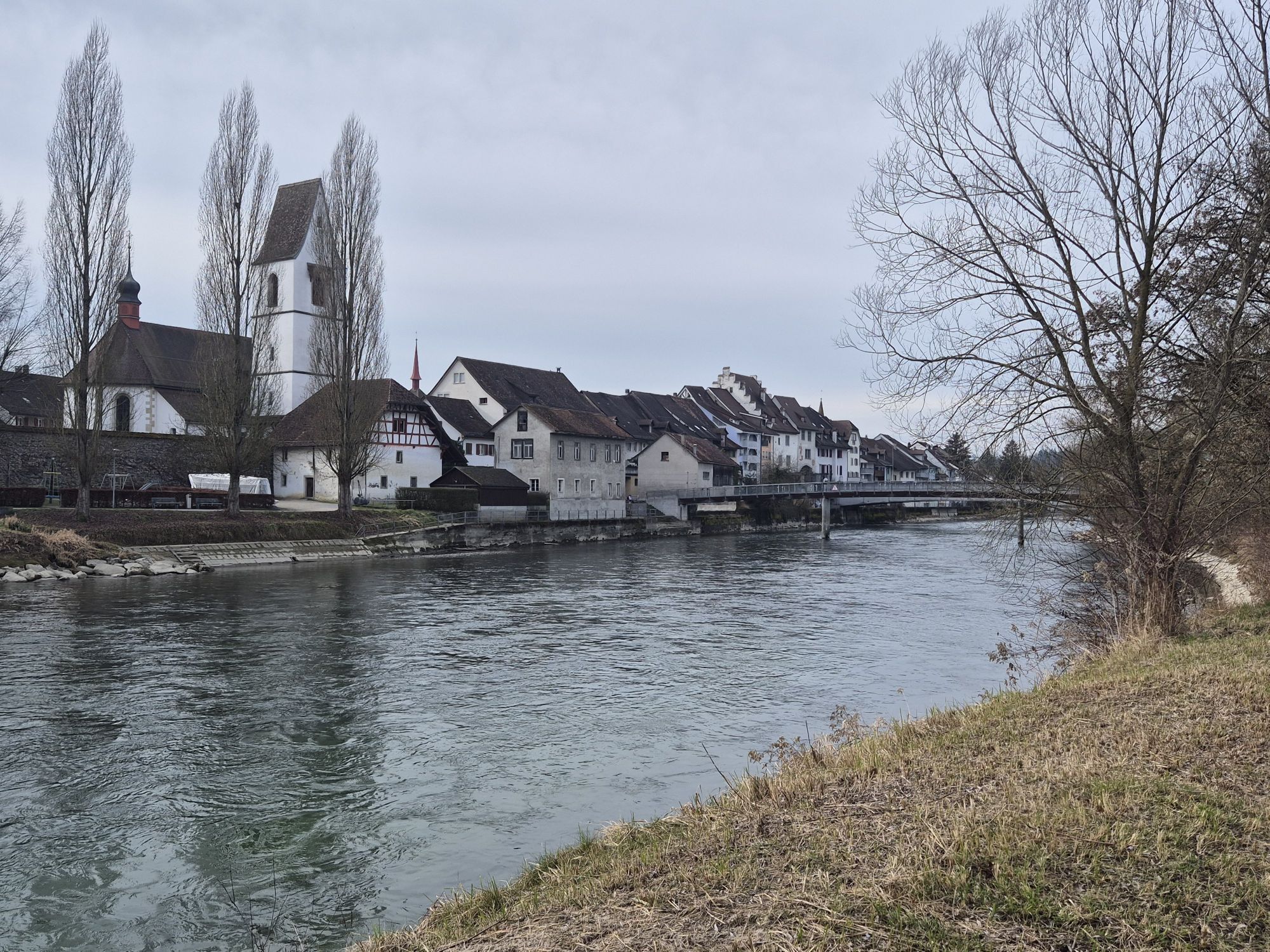
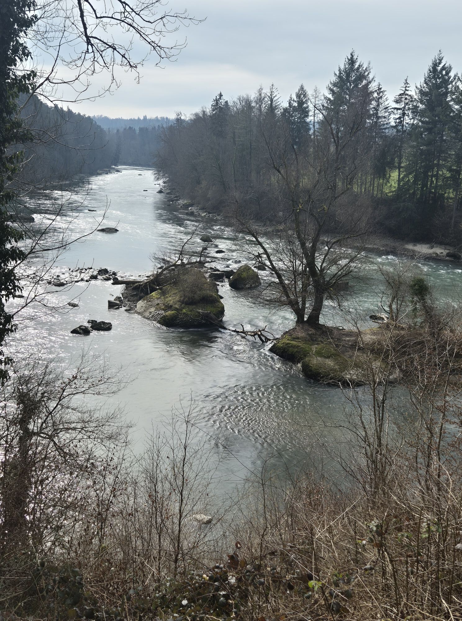
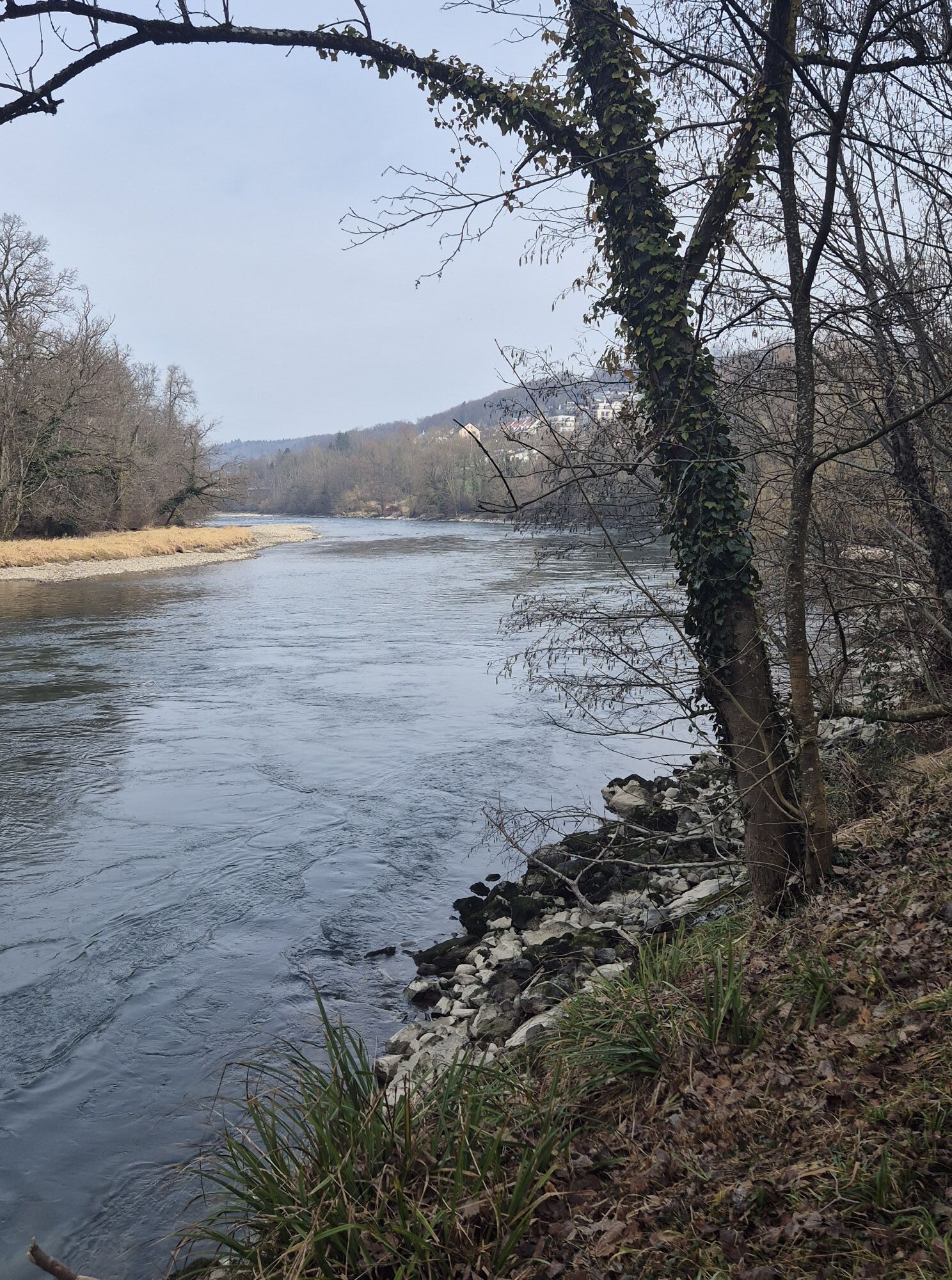
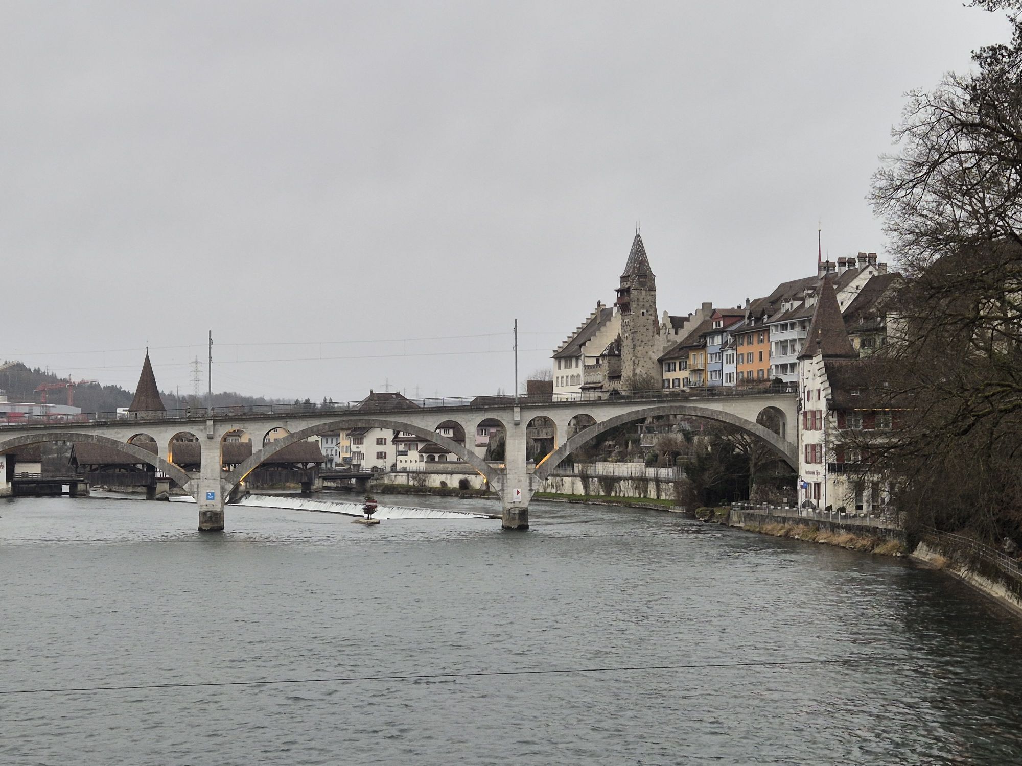
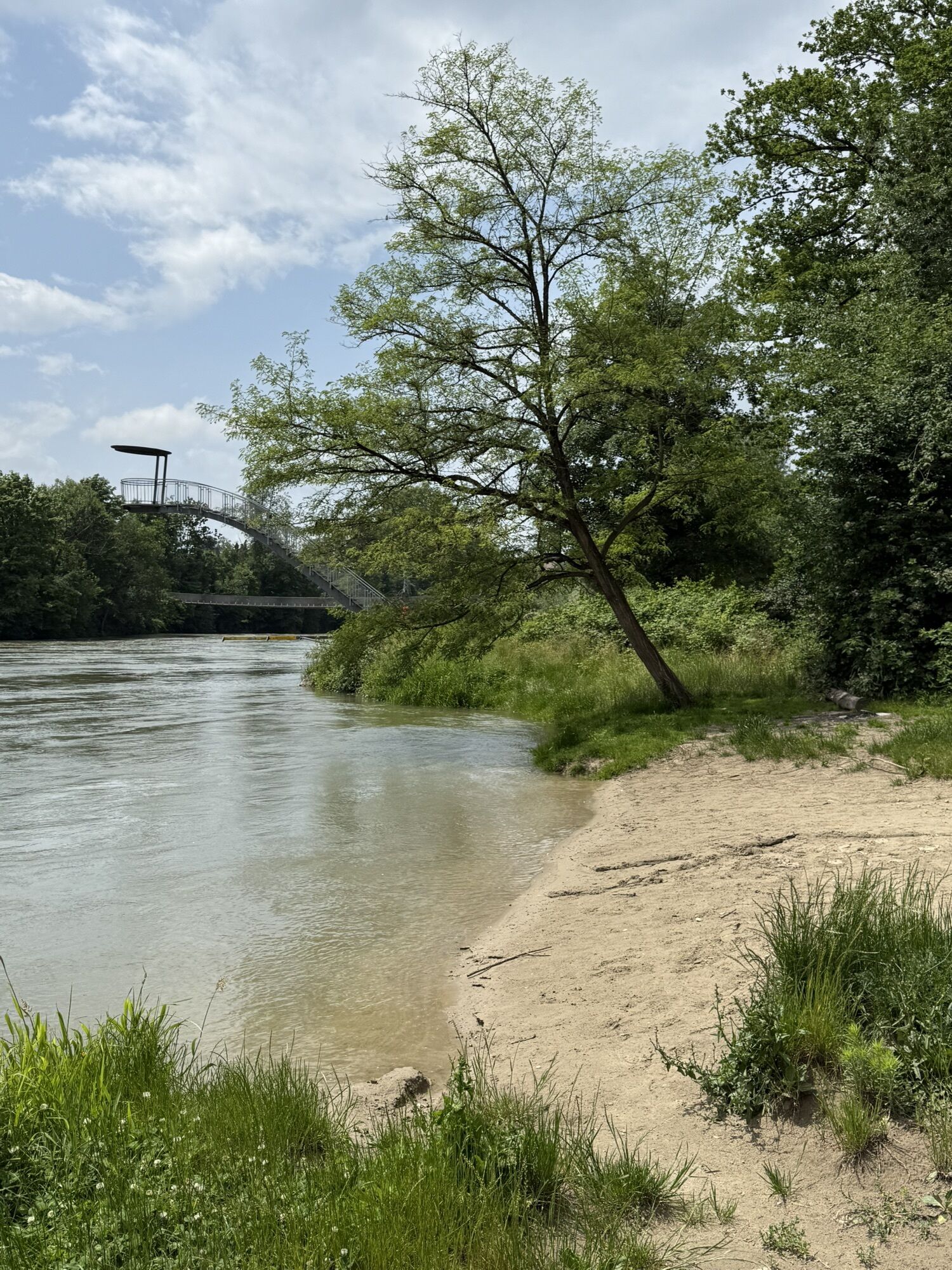
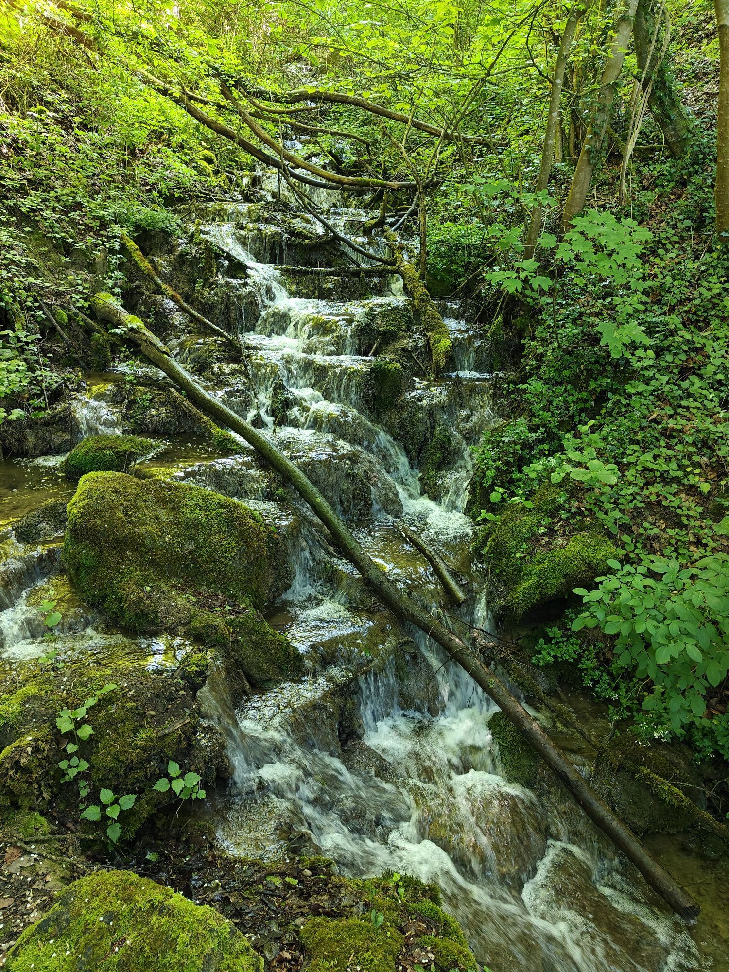
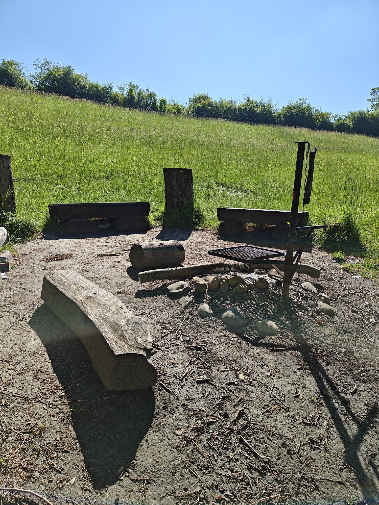
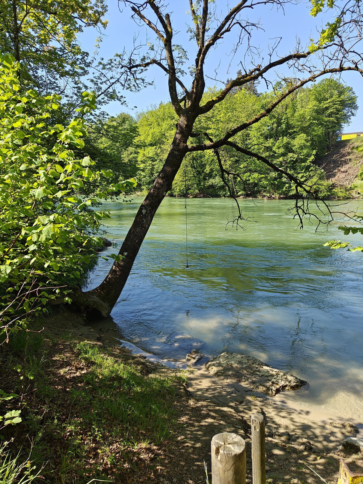
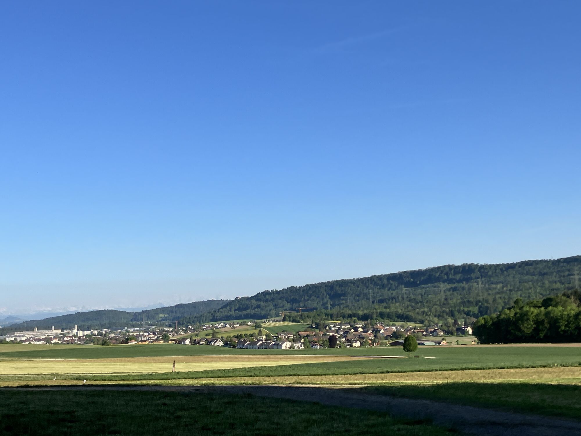
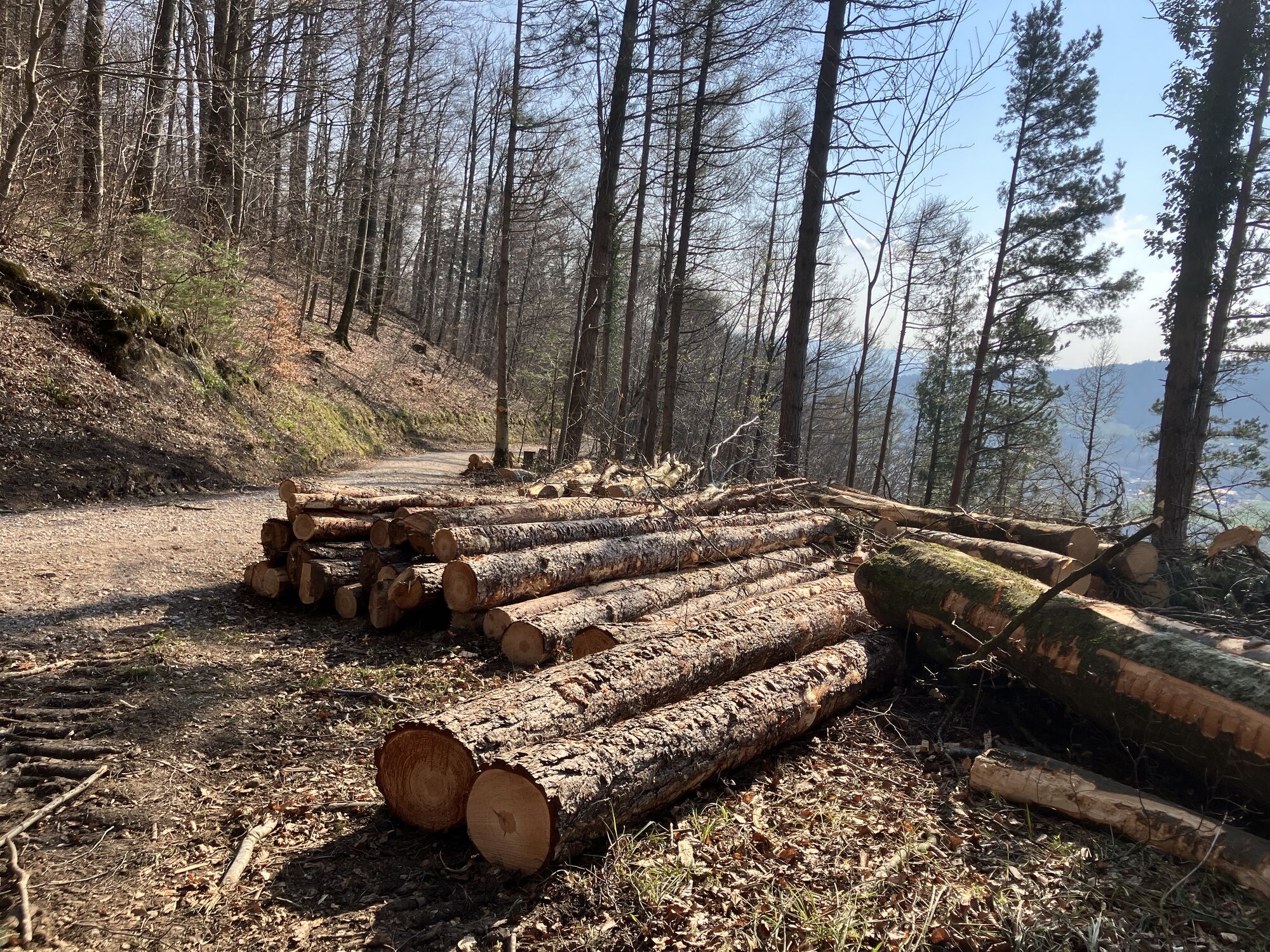
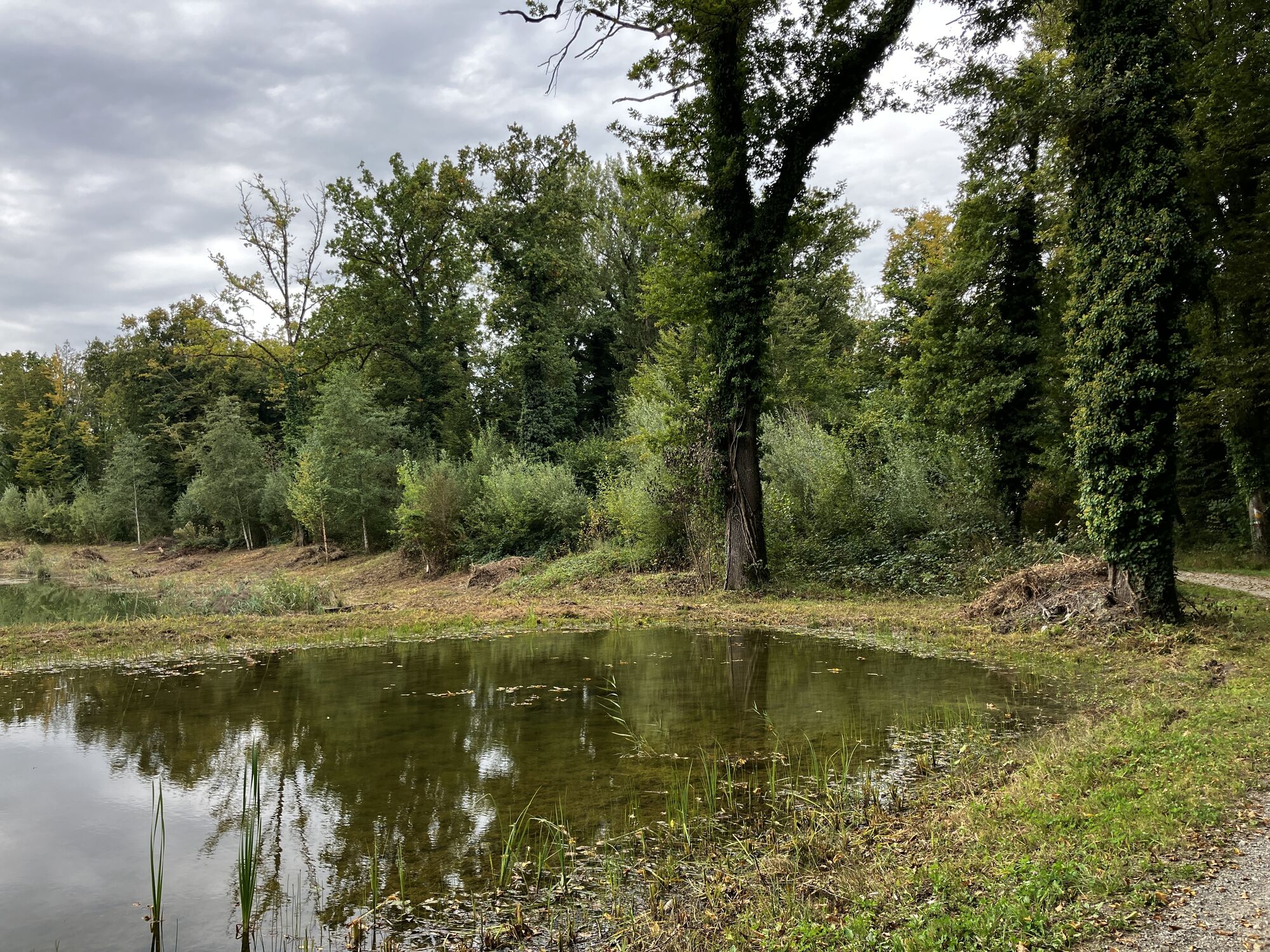
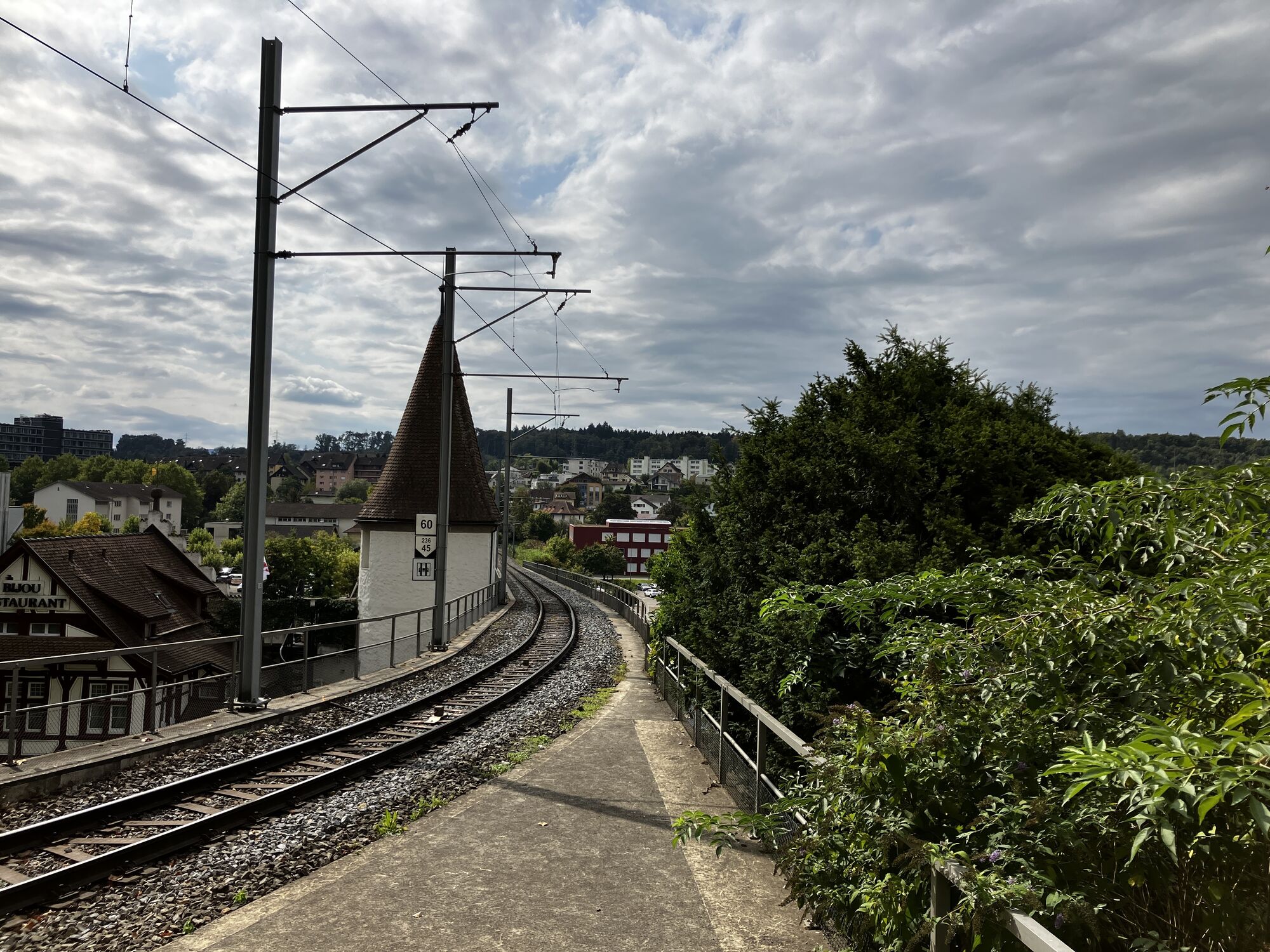
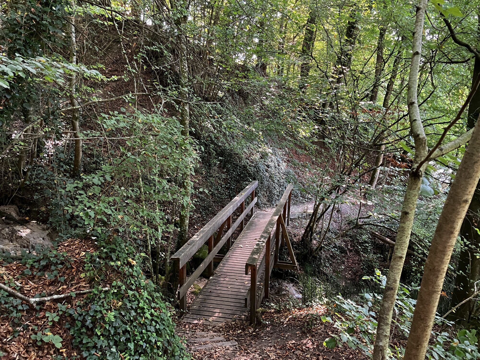
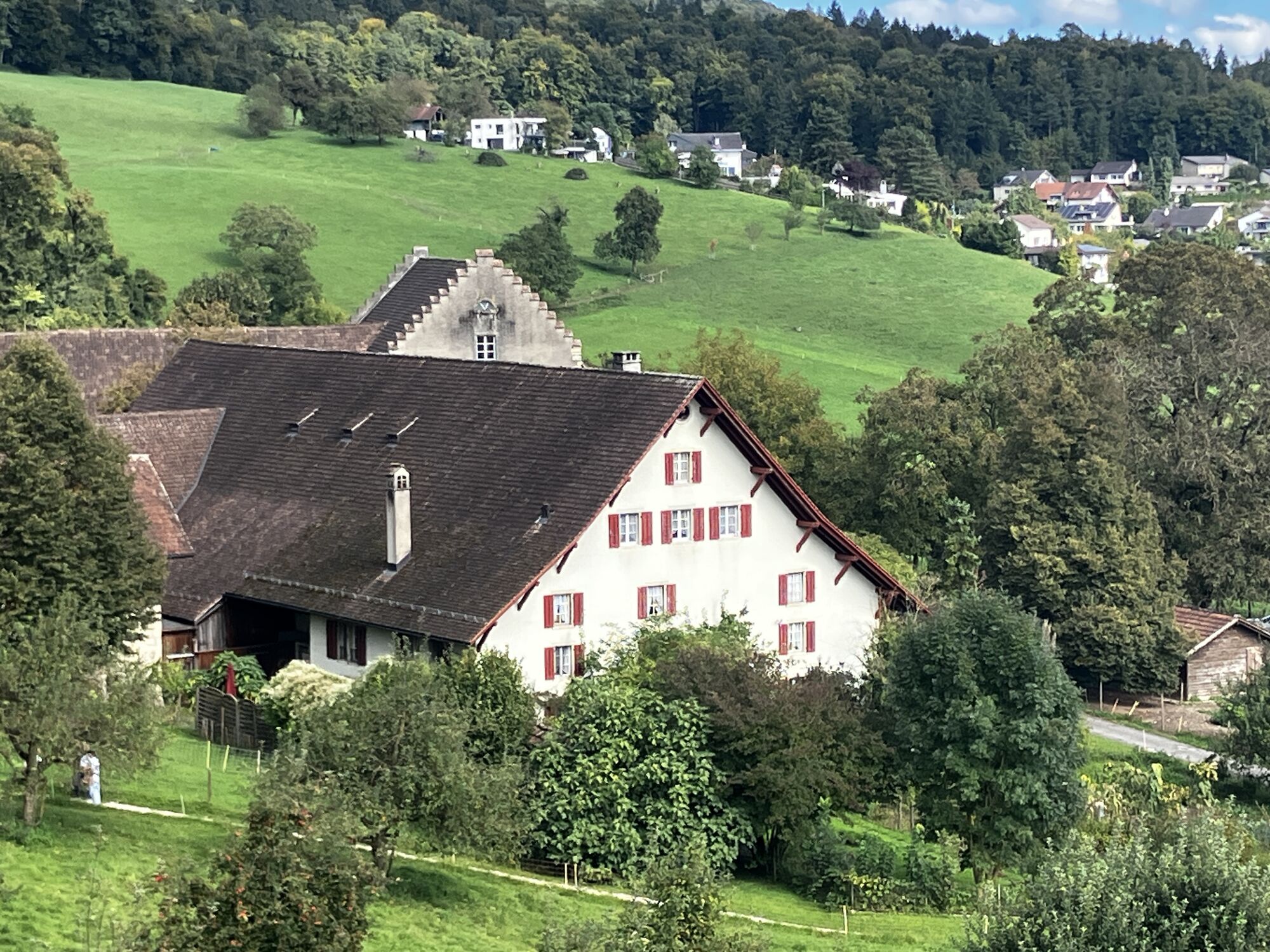
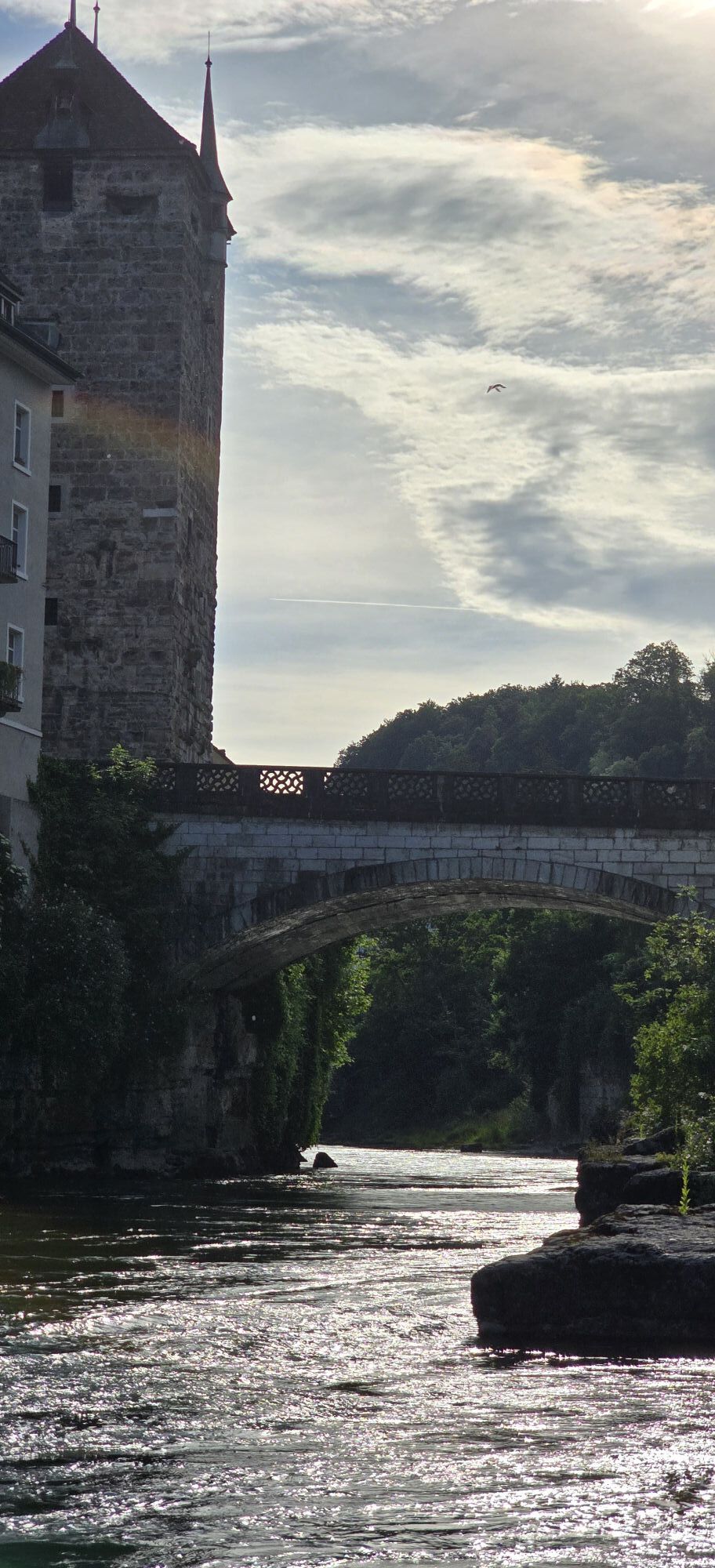
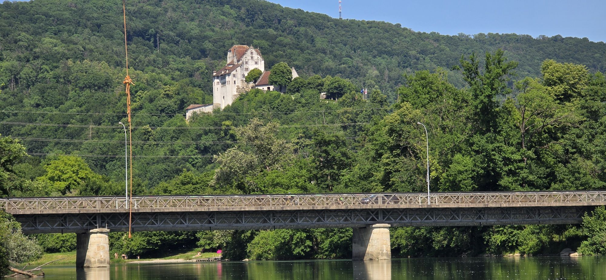
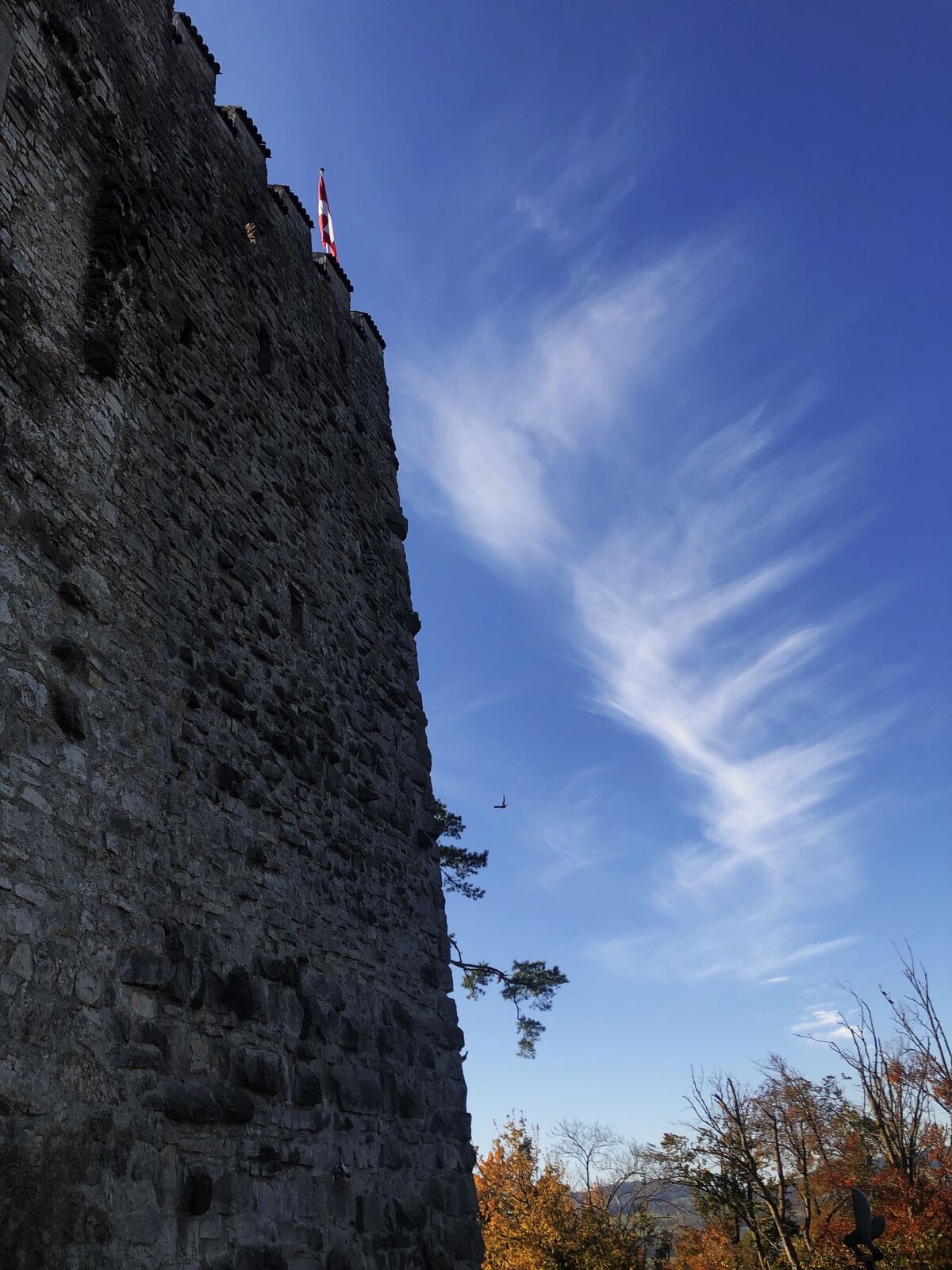
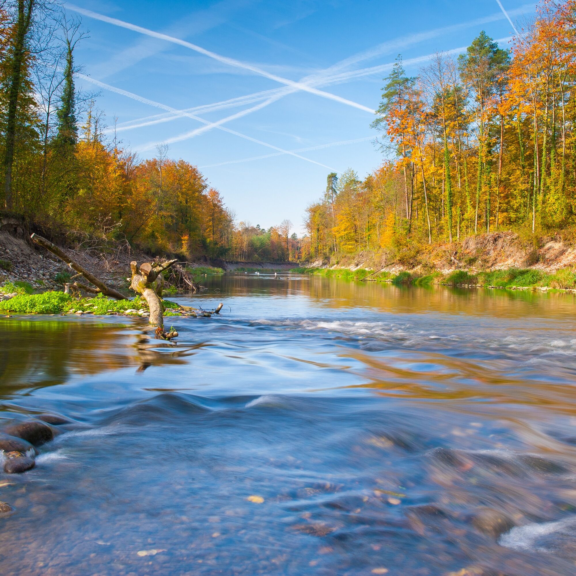
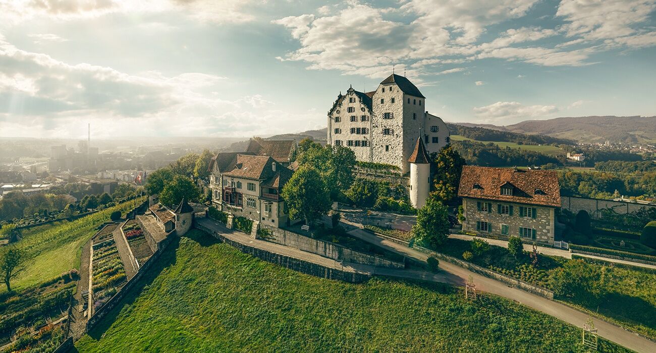
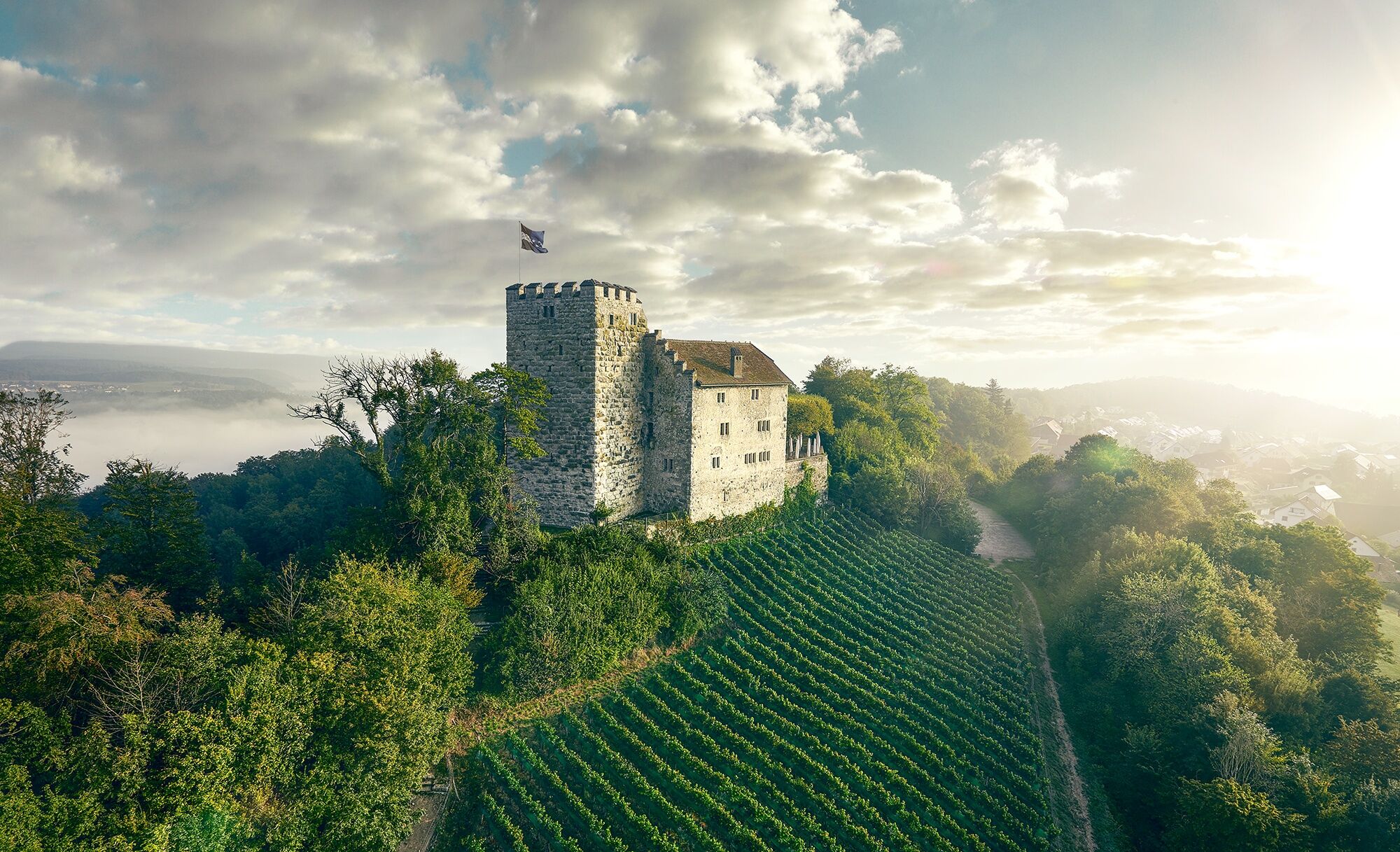
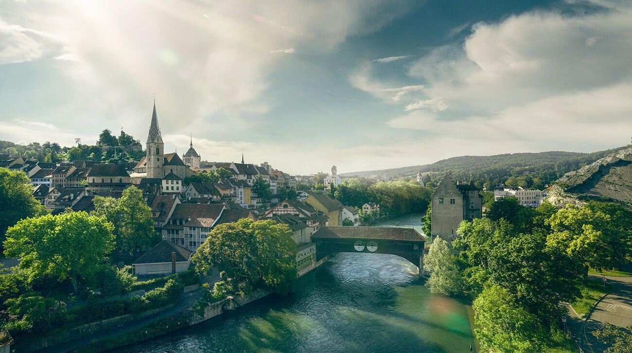
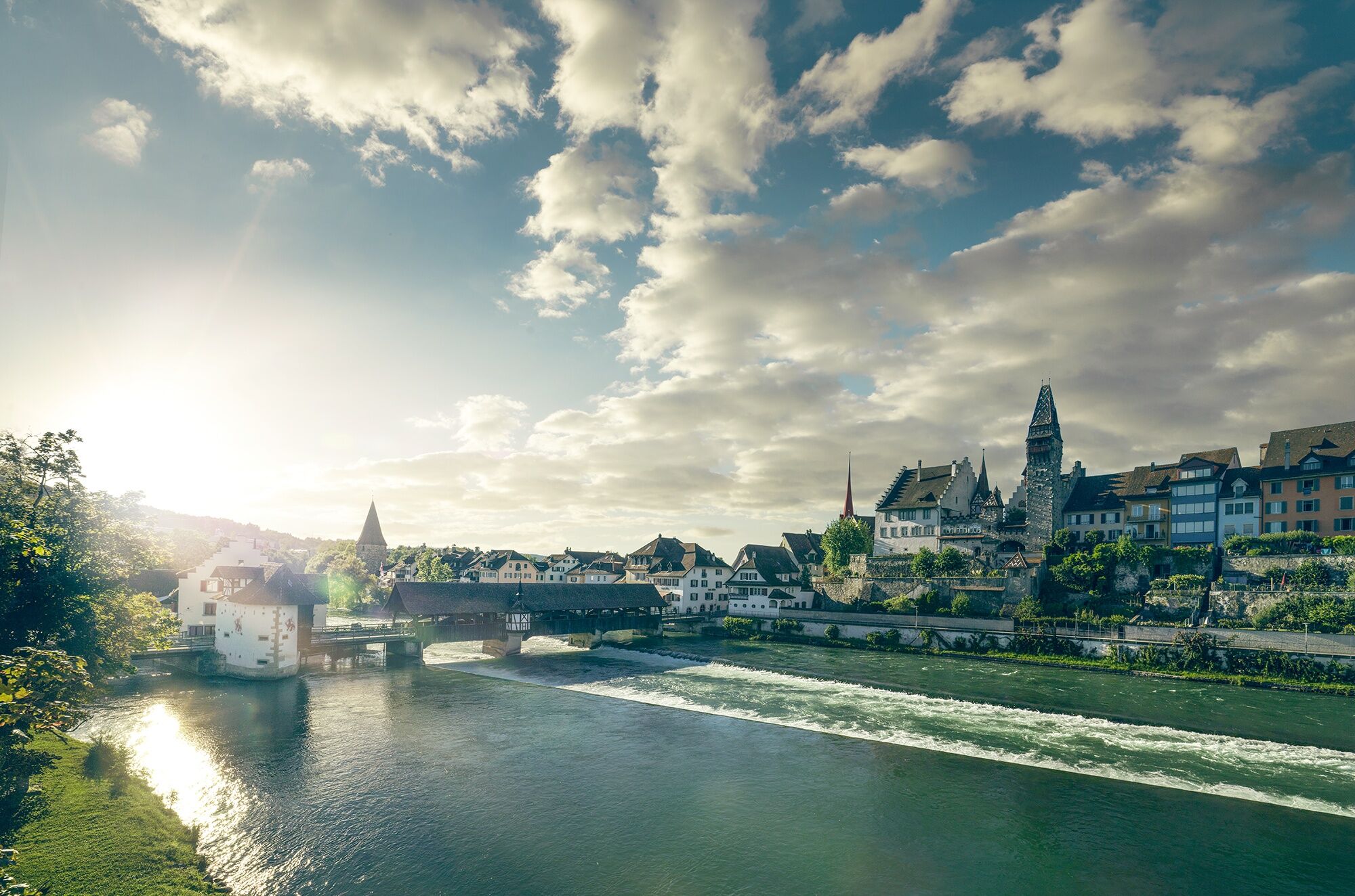
From the Frick valley, the route leads over the challenging hills of Jurapark Aargau, whose ascent is rewarded with magnificent panoramic views. The path passes through the old town of Aarau, enchanted by its unique roof gables. Along the Aare, the floodplain landscapes captivate. On the way to the "water castle of Switzerland", the confluence of the Aare, Reuss, and Limmat rivers, historical monuments like Wildegg Castle, Habsburg, and the Königsfelden Monastery impress. From Baden to the historic old town of Mellingen and up the Reuss, nature reveals itself in romantic forests, lush meadows, and dynamic floodplains.
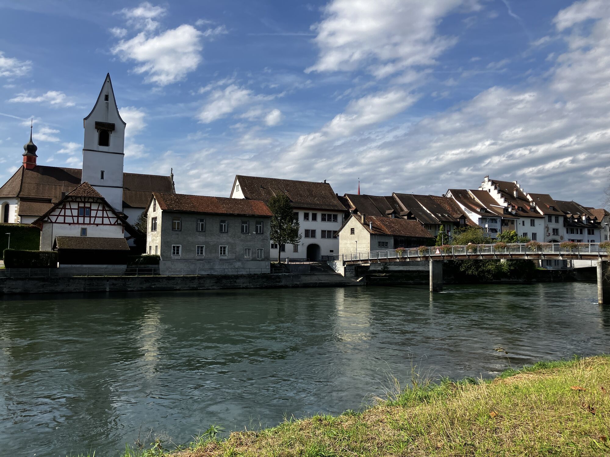
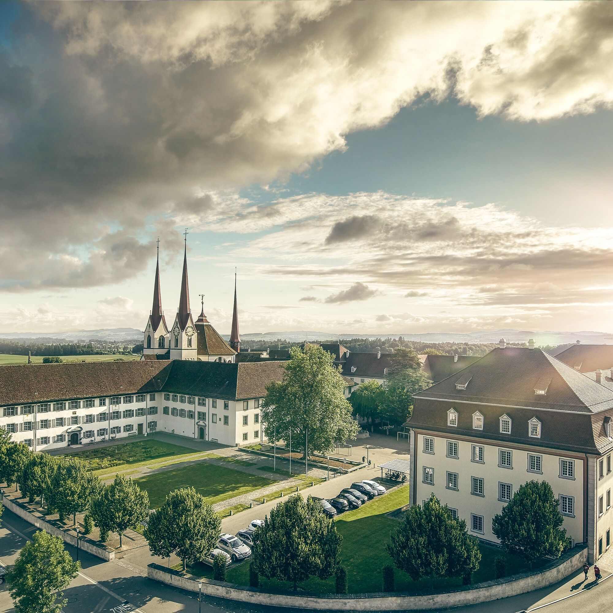
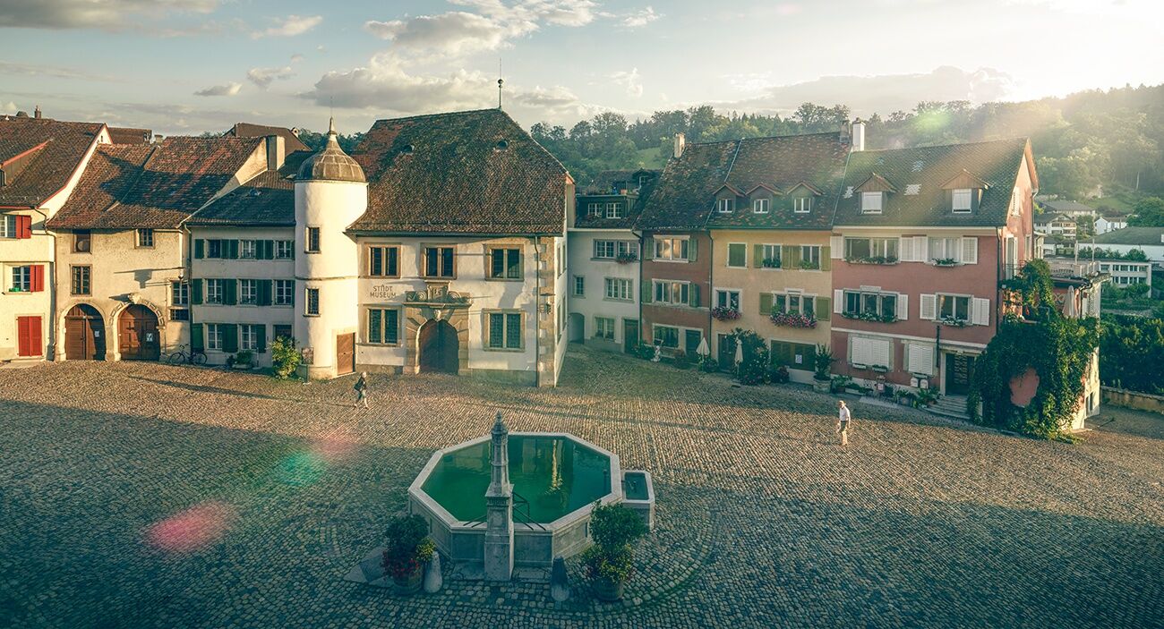
In the Habsburg town of Bremgarten, the charming alleys invite you for an exploration. The old town is surrounded on three sides by the Reuss and is one of the nationally significant cultural monuments. Marshlands and floodplain woods shape the landscape at Flachsee, and already from afar, one can see the impressive Benedictine monastery of Muri, where the Aargauer Weg ends.

Áno
Áno
Sturdy footwear
Weather-appropriate clothing
Water
Travel by public transport is recommended.
By train to Frick station.
Obľúbené výlety v okolí
-
3,8
Chänzeli -Tour: Eine Panorama - Stadtwanderung
svetloTuristika 7,81 km -
4,7
Gisliflue & Gratwanderung, Schweiz
strednáTuristika 8,59 km -
4,0
Gratwanderung über die Lägern
ťažkéTuristika 14,8 km -
4,8
Hüslischnegg am Asperstrihen
strednáTuristika 5,05 km -
Linner Wasserfall
svetloTuristika 4,67 km -
4,1
Linn - Effingen - Bruderhöhle - Gallenkirch
strednáTuristika 7,88 km -
2,0
Staffelegg - Ruine Schenkenberg - Thalheim
svetloTuristika 6,96 km -
5,0
Schinznach Bad - Brugg, Schweiz
svetloTuristika 10,5 km -
Habsburg Route 5th stage: Mellingen - Bremgarten
strednáTuristika 14,2 km -
Lakeside path Seerose - Seengen
Turistika 5,79 km
Turistika a stopovanie


Nenechajte si ujsť ponuky a inšpiráciu na ďalšiu dovolenku
Vaša e-mailová adresa bol pridaný do poštového zoznamu.