







Multiday mountainbike loop around Grand Colombier: day 1 Culoz - La Praille
Úroveň náročnosti: S2
With a length of almost 32 km, this first stage includes half of the total elevation gain.
From the banks of the Rhône to Culoz at an altitude of 250 meters at the foot of the giant of Bugey, the Grand...
From the banks of the Rhône to Culoz at an altitude of 250 meters at the foot of the giant of Bugey, the Grand Colombier, its paths will take you through the south of Valromey near its geological curiosities before rising into the forests of the separating ridge the Valromey to the Plateau d'Hauteville via the Lèbe Observatory.
Day 1 : Culoz > La Praille (32 km)
Day 2 : La Praille > Les Plans d'Hotonnes (27 km)
Day 3 : Les Plans d'Hotonnes > Culoz (35km)

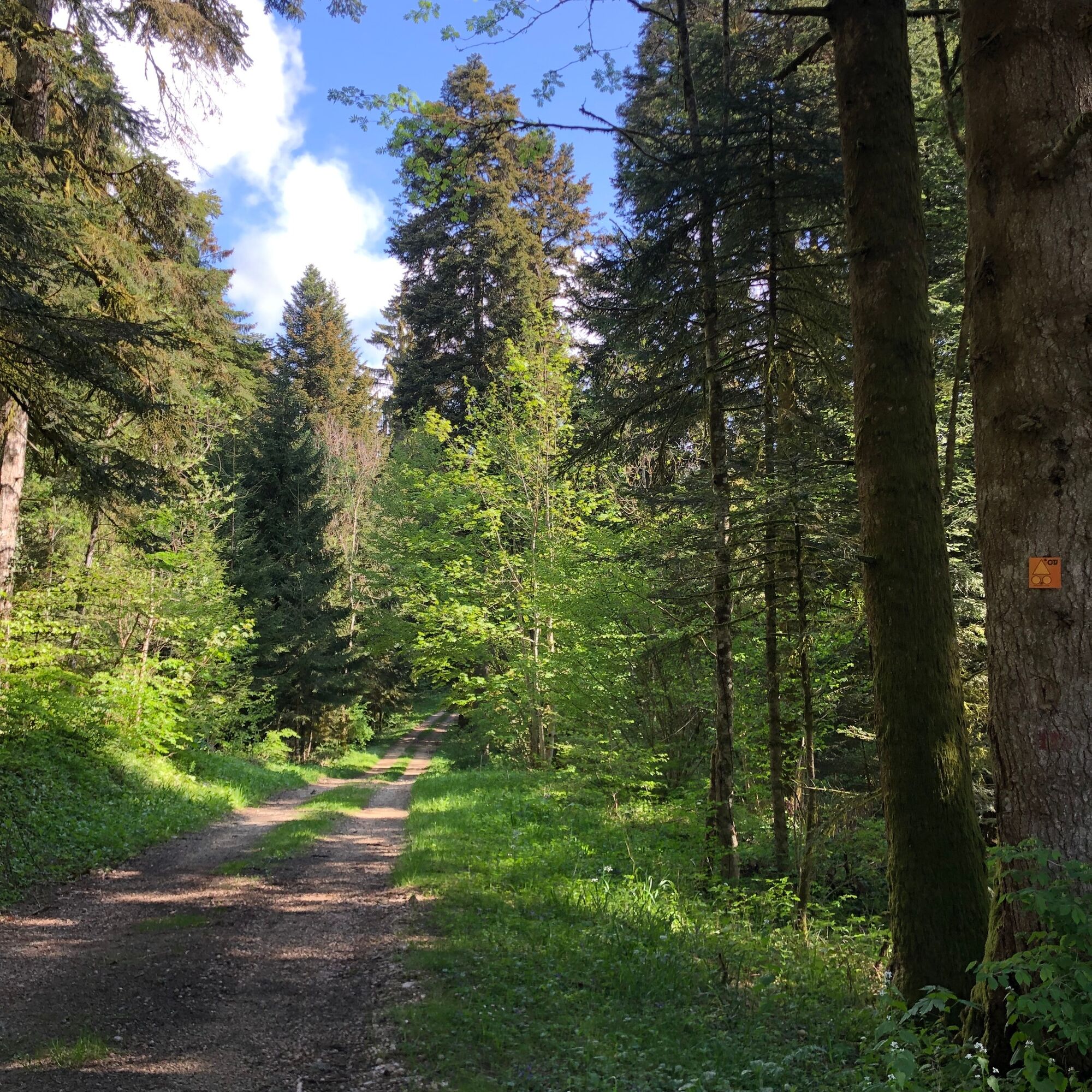
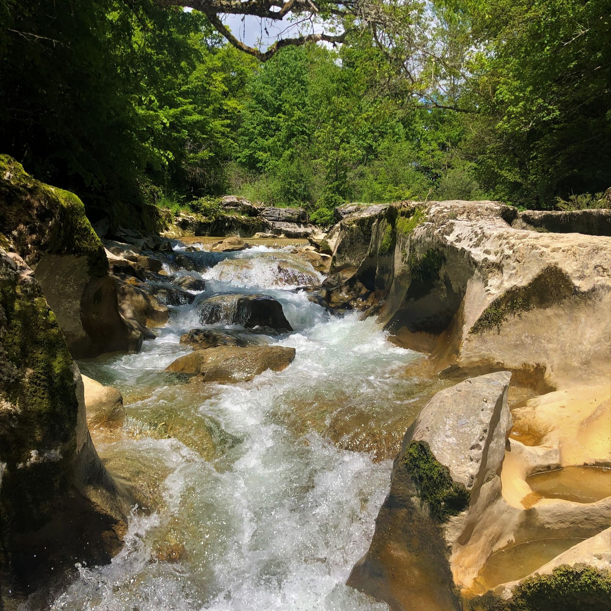
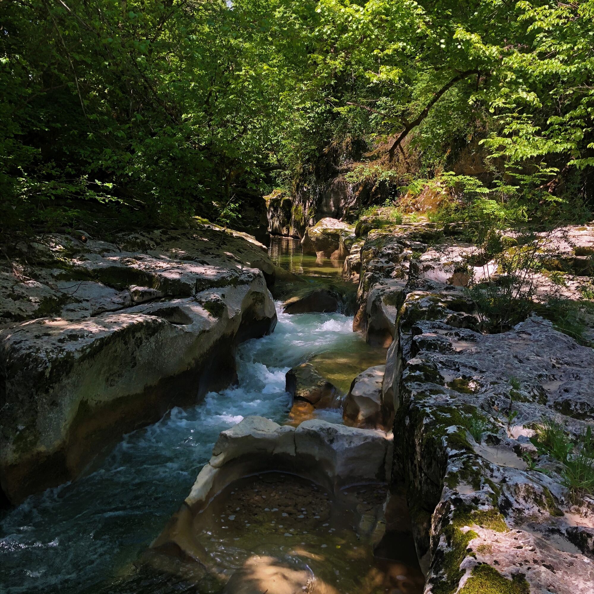
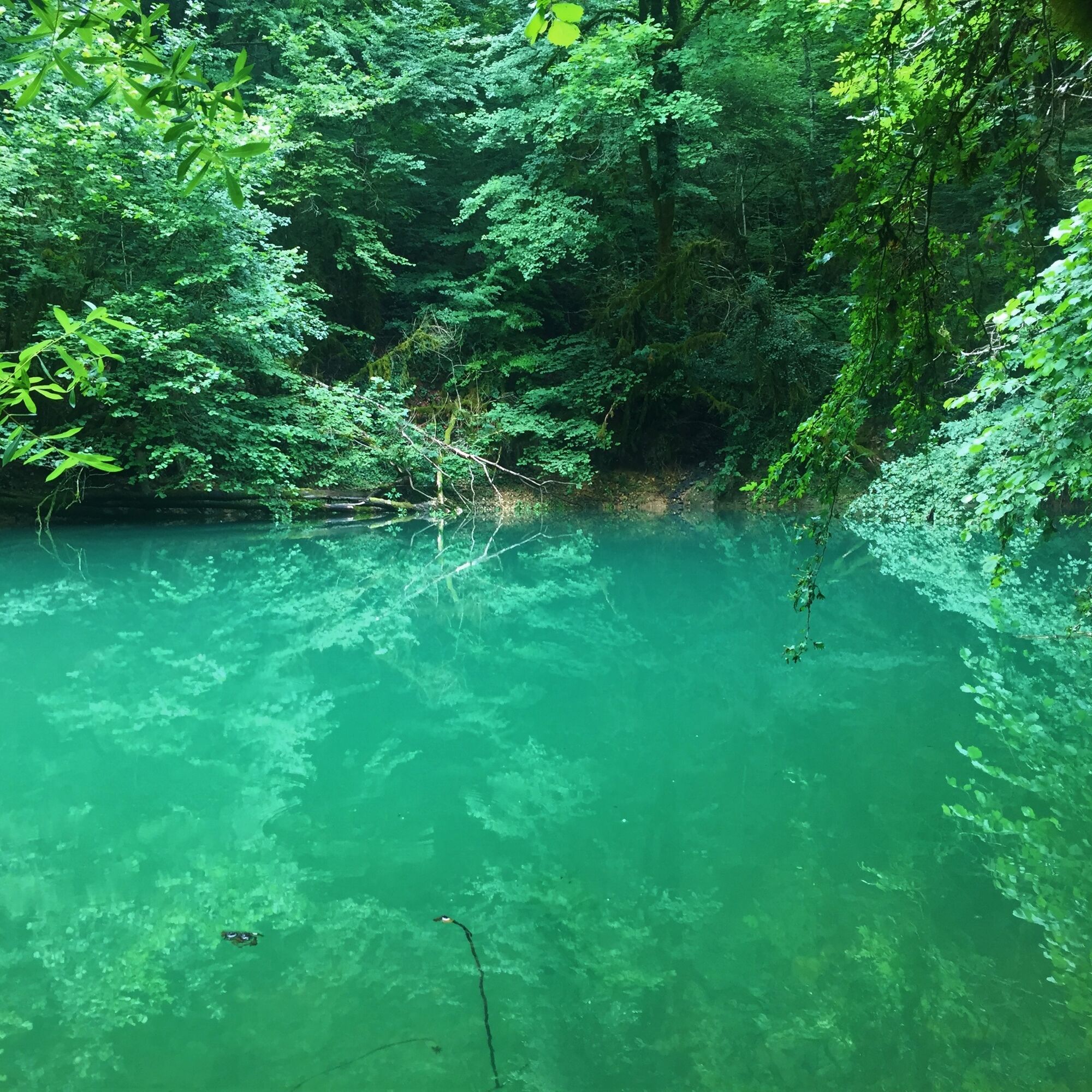
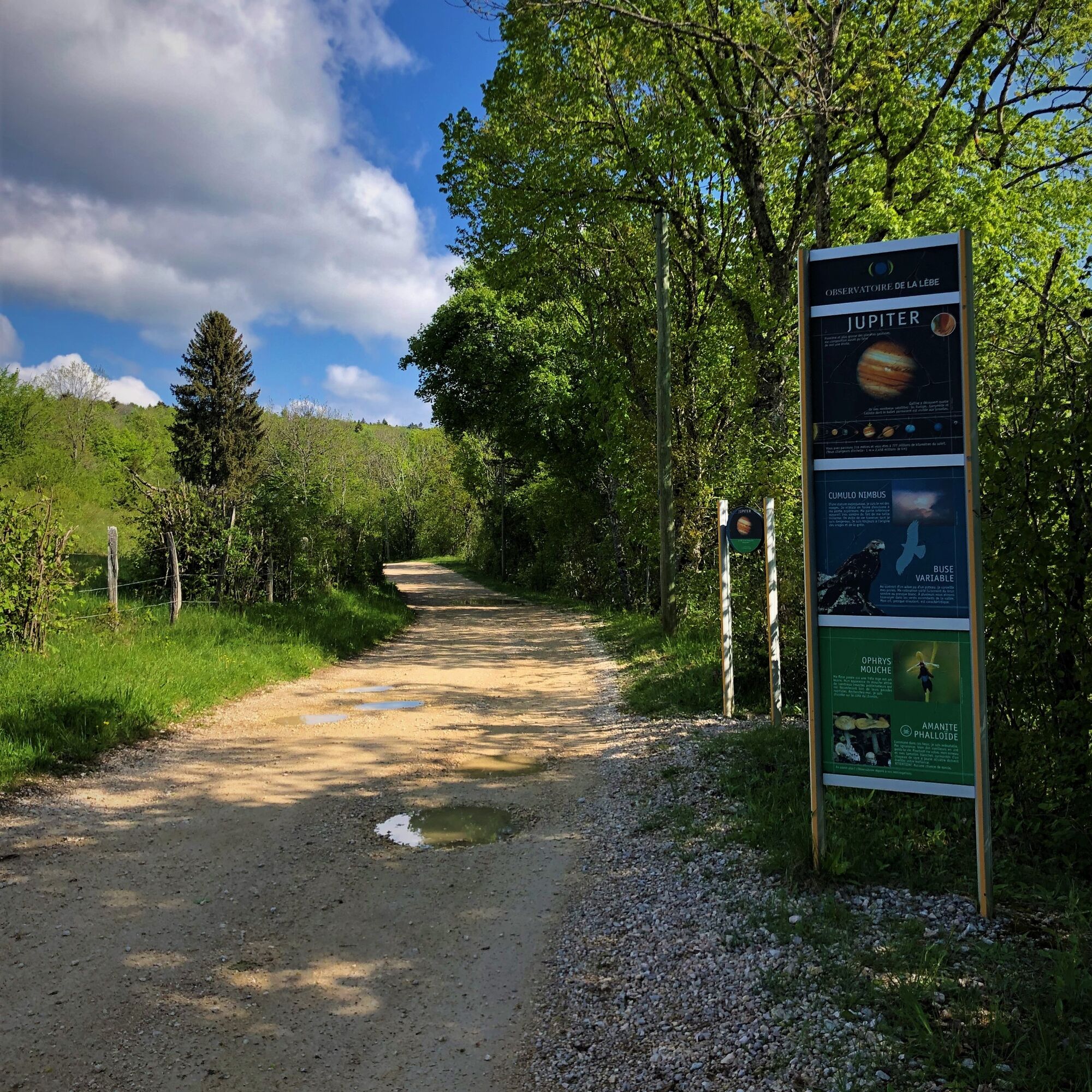
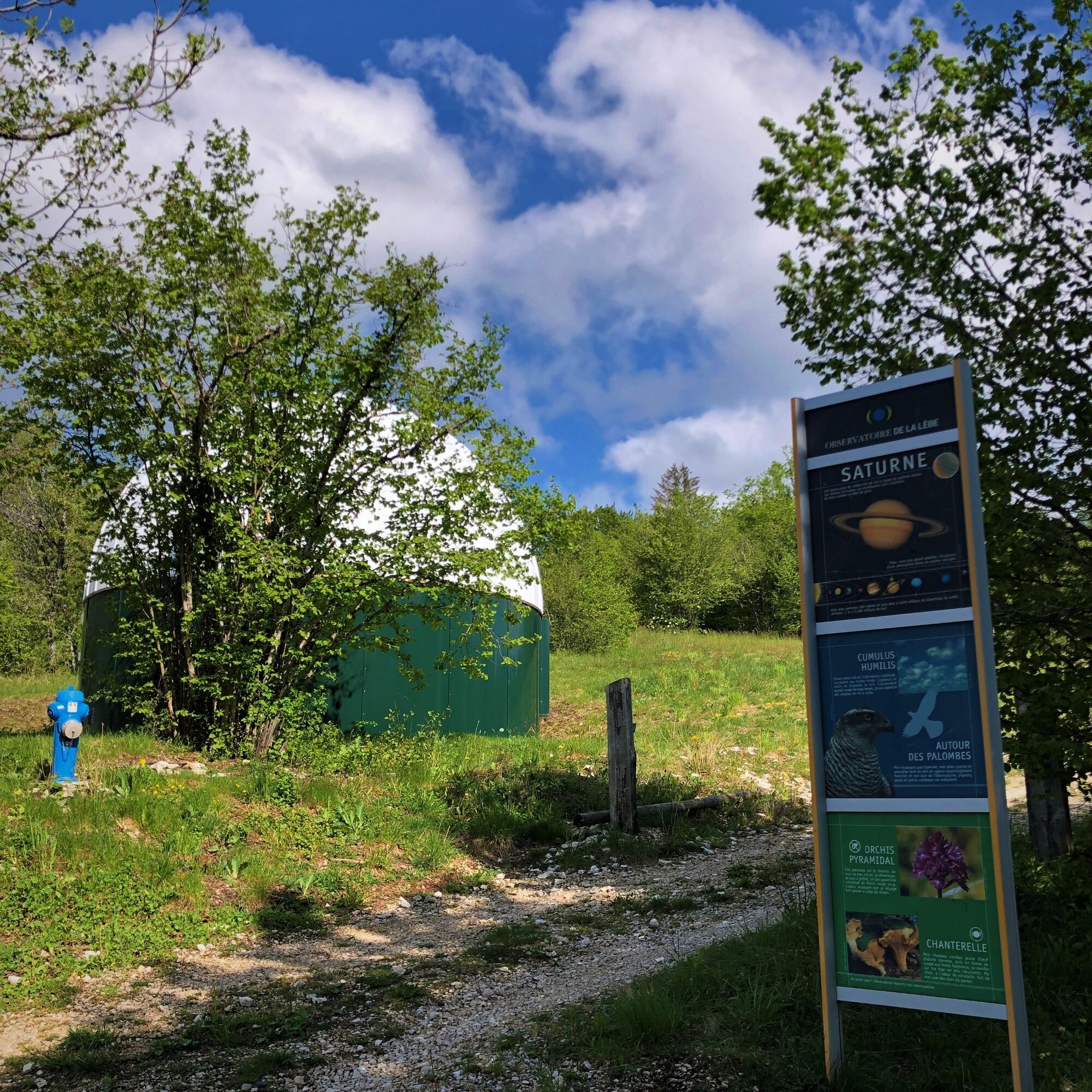
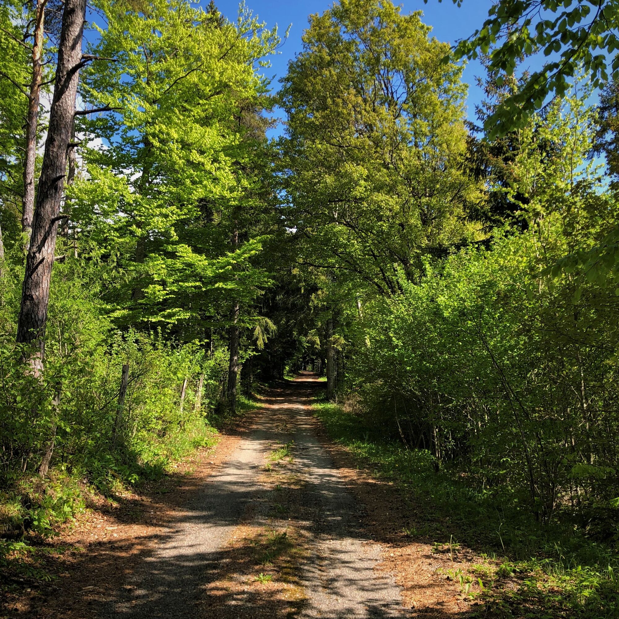
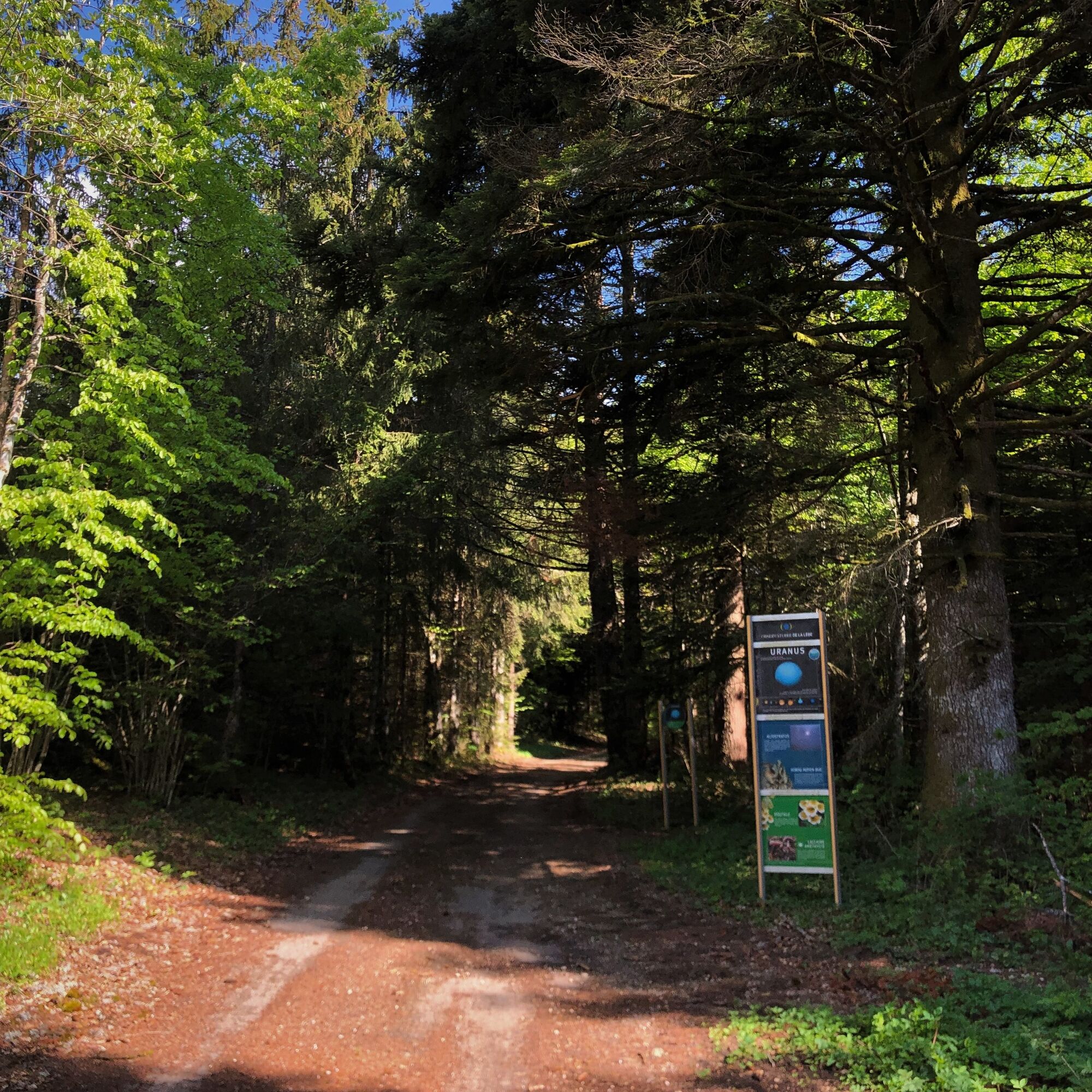

Signage in progress spring 2024
Áno
It is strongly recommended to have a water bottle, a helmet, a mobile phone, and a repair kit.
This route does not include any truly difficult sections, only a few short steep climbs that are a bit technical may be done on foot.
Defective signage, incidents / safety, usage conflicts, illegal dumping? Please locate and share the problem encountered on the national alert system via the SURICATE app or through the site https://sentinelles.sportsdenature.fr/
By train directly from Lyon, Geneva, Ambérieu, Annecy, or Chambéry.
Culoz station is located on the rail line between Lyon and Geneva.
Several parking lots are accessible in Culoz at the station or at the Maison du Vélo.
S2
This route is part of the "Ain Outdoor" selection.
Získajte prehľad
Vždy naživo na mieste s viac ako 9 500 webovými kamerami. bergfex Ako používateľ Pro si teraz môžete pozrieť príslušné webové kamery pre mnohé zájazdy v aplikácii zájazdy z. Môžete si tak priamo prezerať aktuálne podmienky.
Obľúbené výlety v okolí
-
3,0
Hike: on the ridge of the Grand Colombier (circuit des crêtes)
strednáTuristika 11,3 km -
1,0
Hike of the Clairefontaine waterfall
svetloTuristika 5,46 km -
Cycling tour : Marshes and vineyards in Bugey
svetloCestný bicykel 33,1 km -
Hike: A wolf life.
svetloTuristika 7,22 km -
3 day-hike in Jura: hiking trails through Plateau de Retord and Grand Colombier
ťažkéTuristika 50,9 km -
Hike of the Grand Colombier starting from Munet
ťažkéTuristika 16,0 km -
Hike: mountain pastures of the Grand Colombier
strednáTuristika 5,23 km -
Hike: Grand Colombier from Culoz
ťažkéTuristika 26,1 km -
Cycling tour: Geological curiosities of Valromey
svetloCestný bicykel 37,1 km -
Hike: Innimond cross
ťažkéTuristika 12,8 km
Turistika a stopovanie


Nenechajte si ujsť ponuky a inšpiráciu na ďalšiu dovolenku
Vaša e-mailová adresa bol pridaný do poštového zoznamu.





