






Hike: Grand Colombier from Culoz
Úroveň náročnosti: T2
This hike can be downloaded on the free app Ain Outdoor.

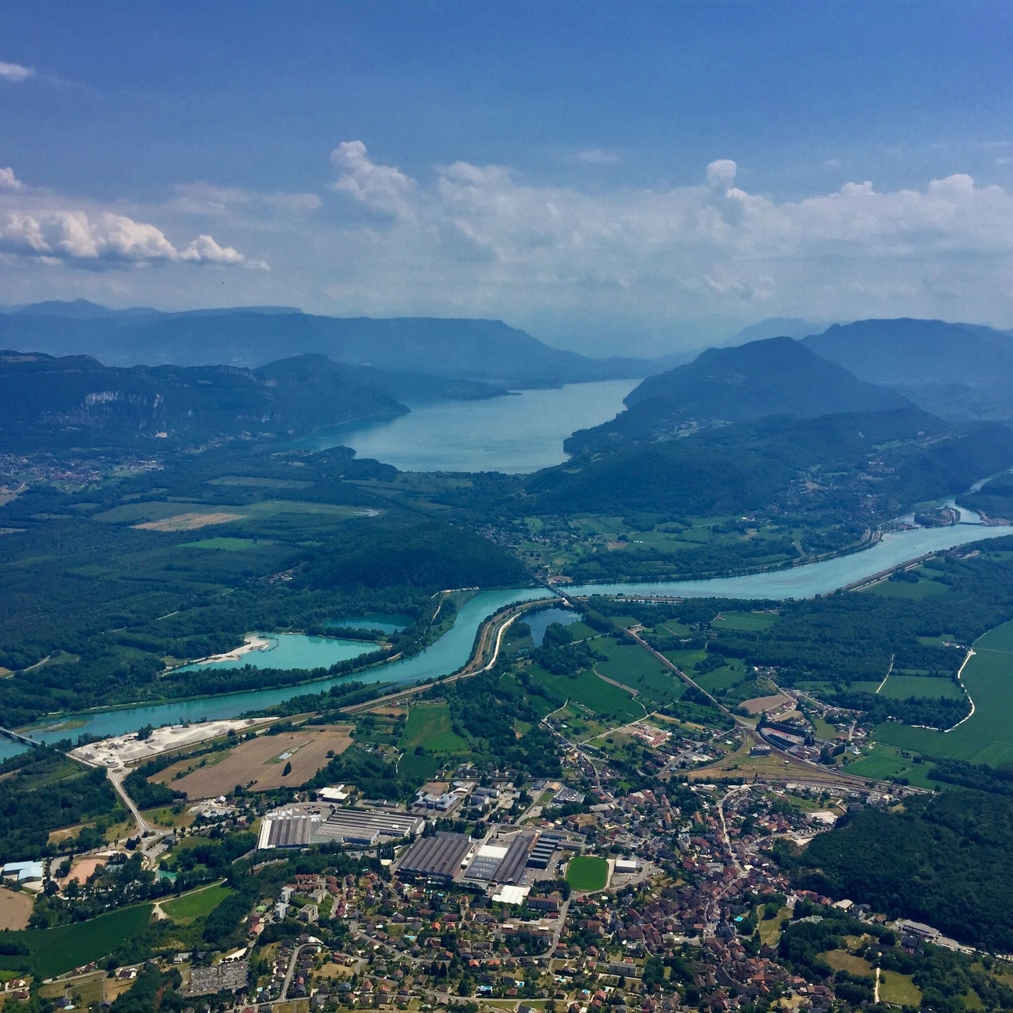
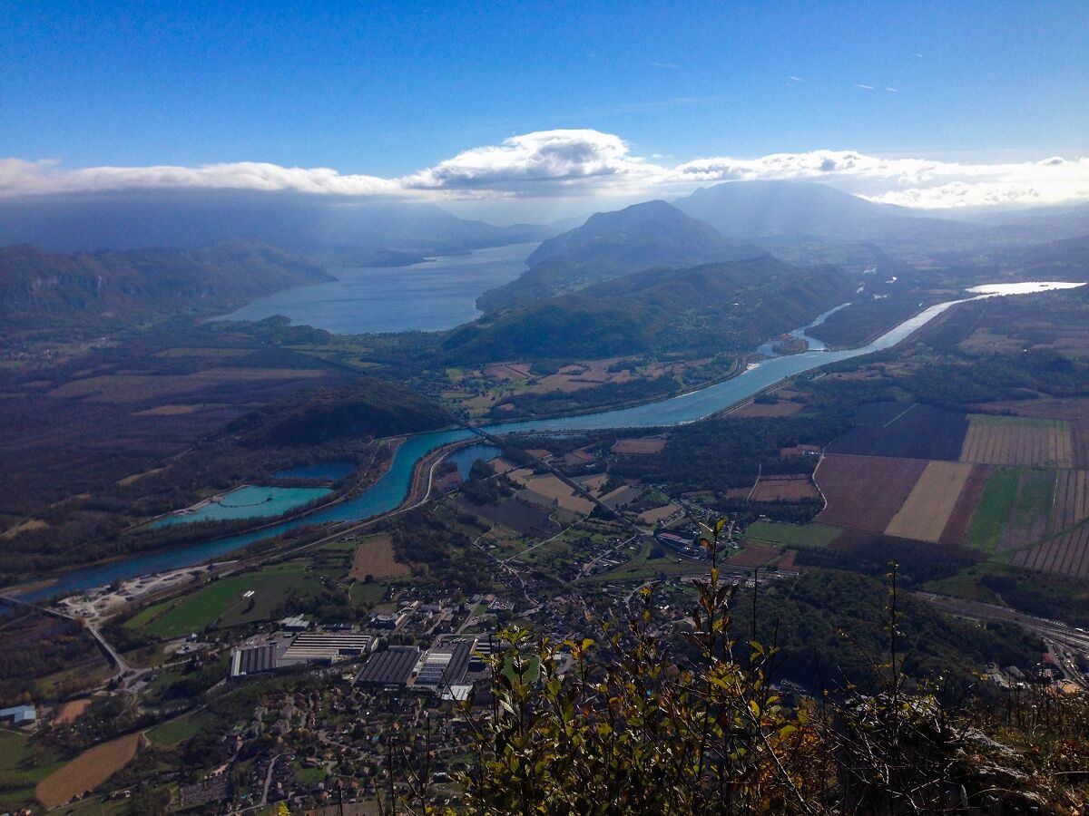
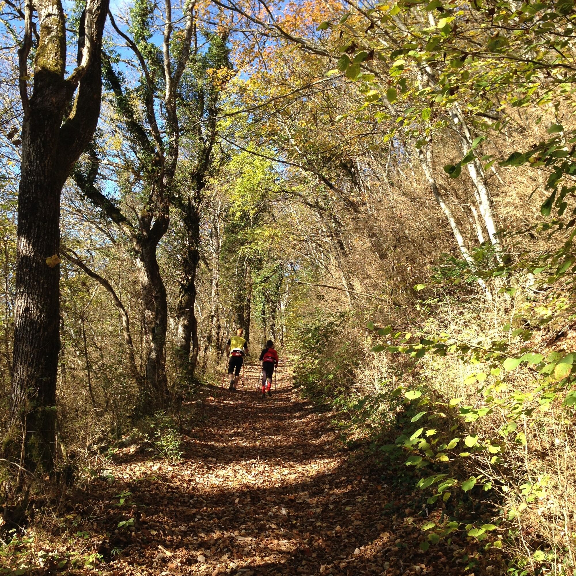
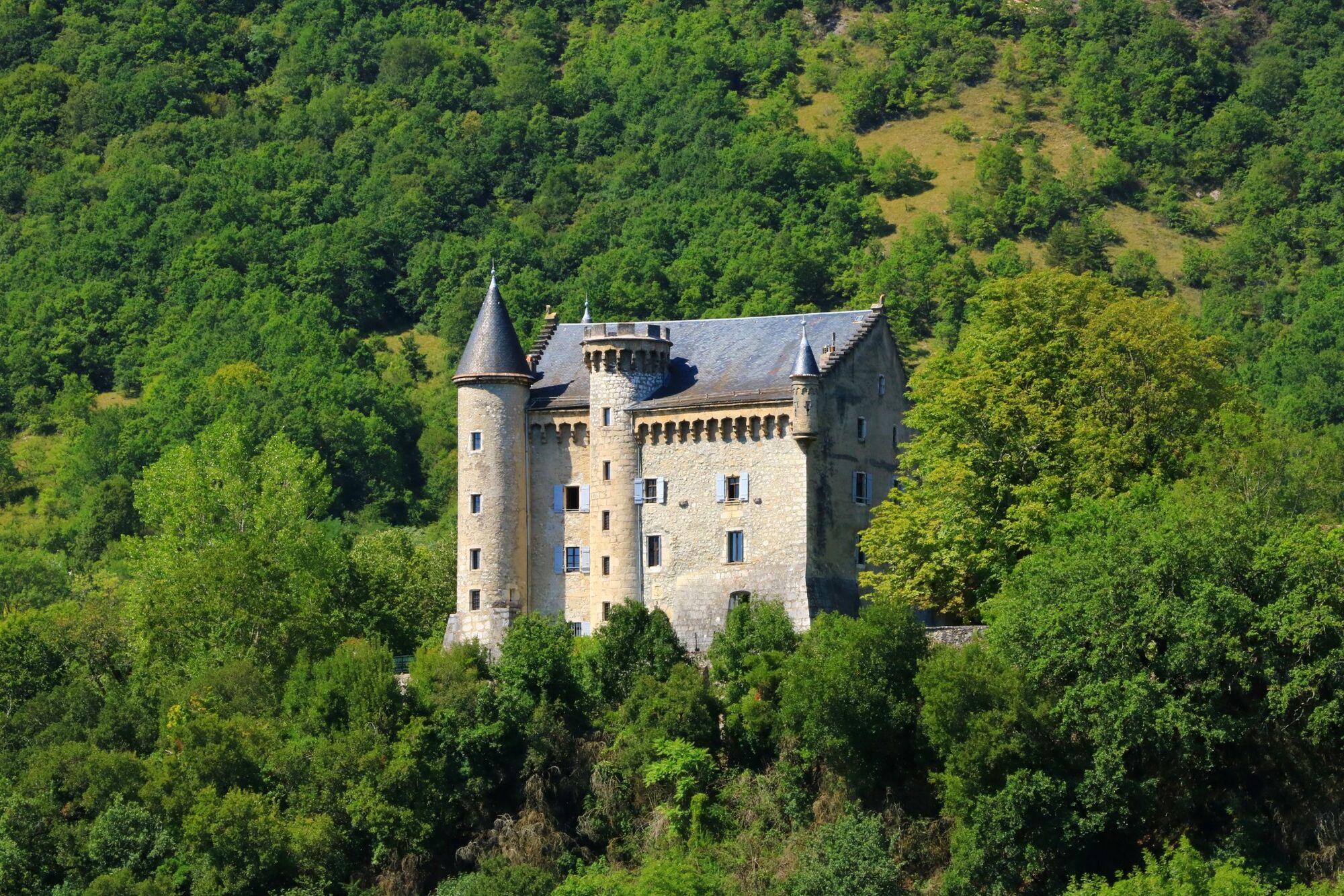
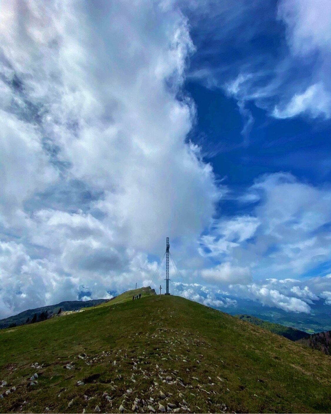
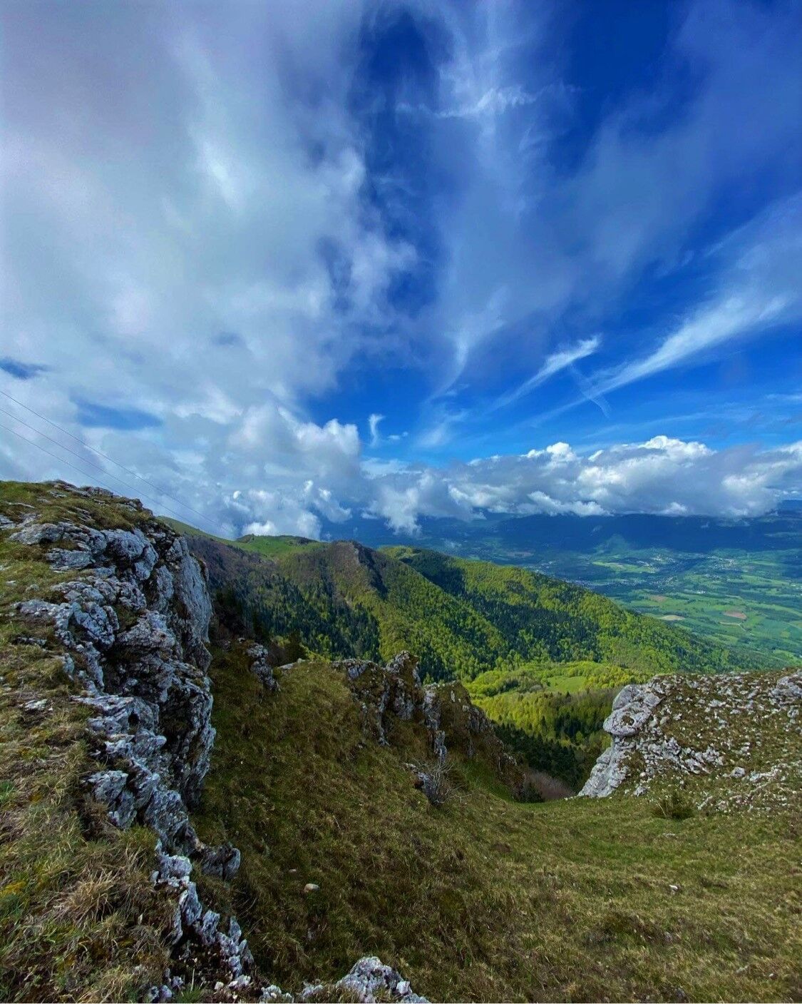
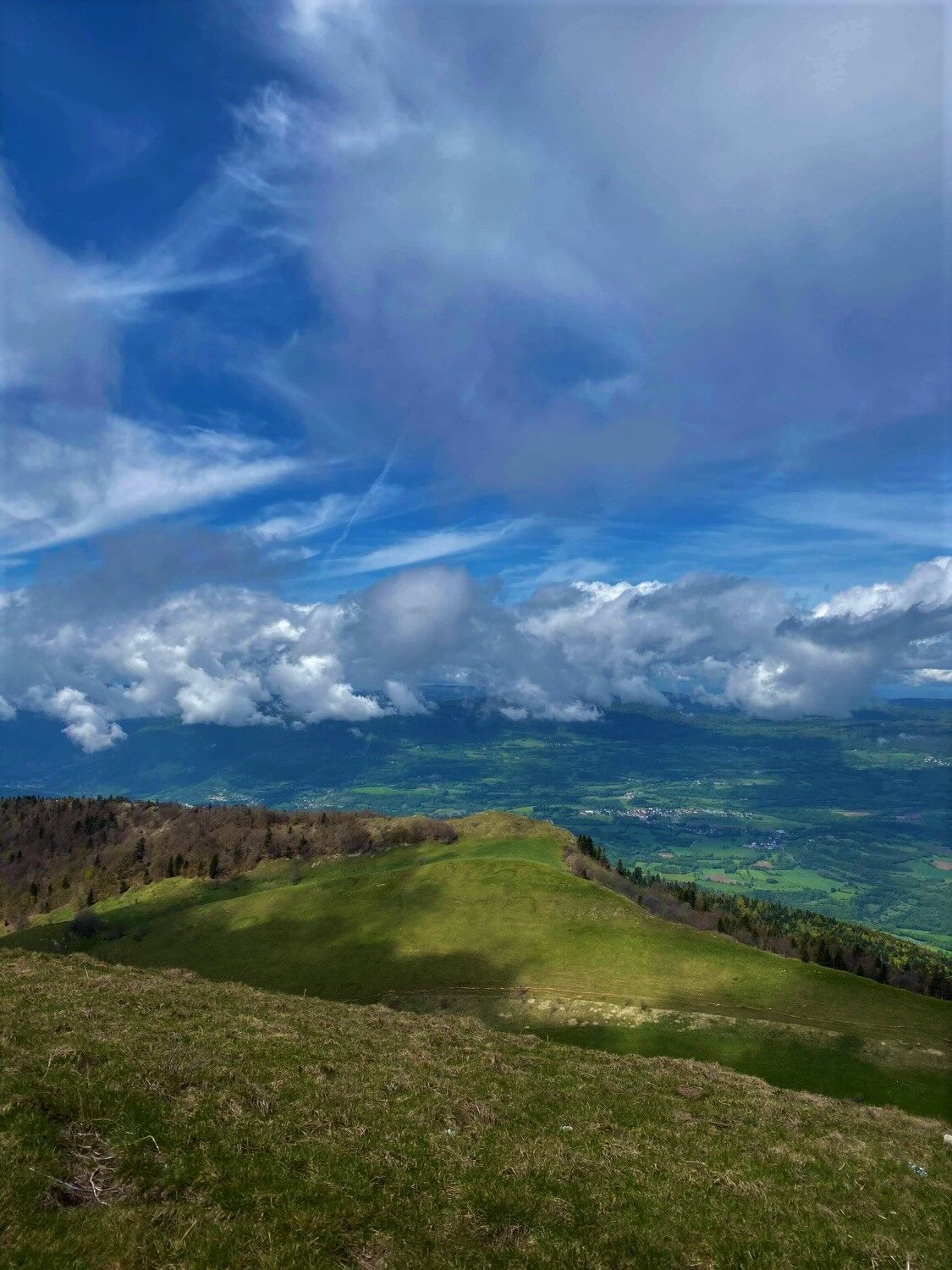
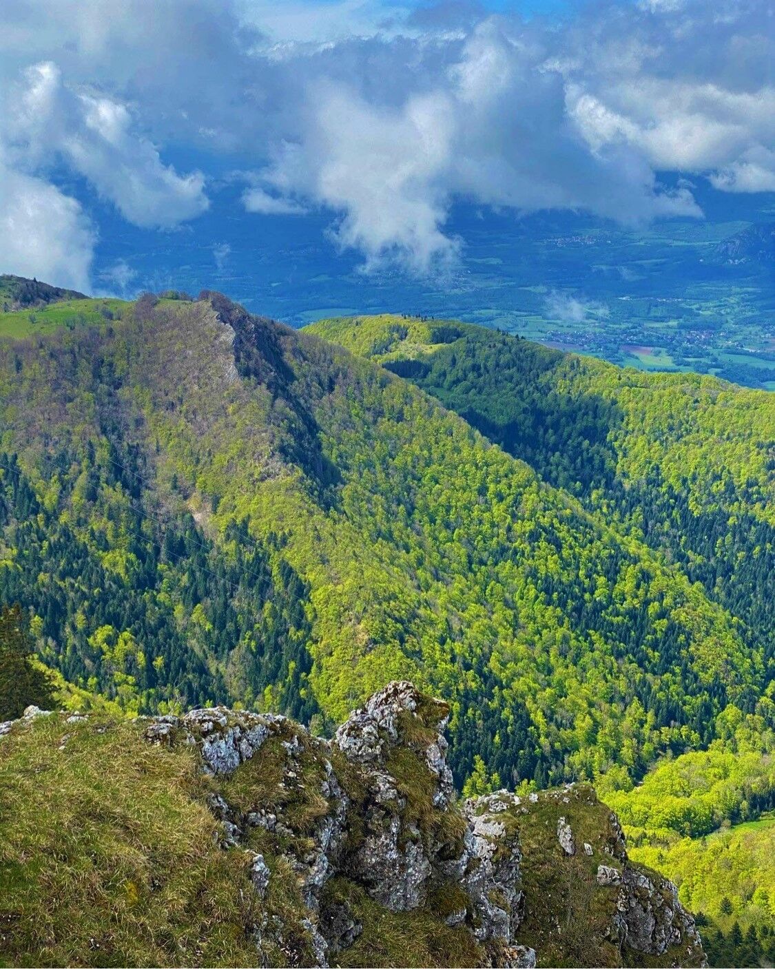

From Culoz, you will need to follow the GR to the summit of the Grand Colombier, the trail starts a few hundred meters above the Montvéran castle.
Áno
Áno
Áno
It is essential to be equipped with good shoes and enough water to do this hike. The Grand Colombier is exposed to all winds and the temperature difference is often very significant compared to Culoz and the shores of Lake Bourget (about 7 degrees difference), a windbreaker is strongly recommended, even during summer.
Although the route is not very technical, it is not recommended for hikers who have a severe fear of heights.
Some passages on the ridge are located a few meters from the edge.
The route crosses the Grand Colombier alpine pastures, the utmost caution is recommended when crossing herds. Please keep your dogs on a leash and always close the enclosures behind you.
The route is not accessible from November to April when the pass is closed.
Defective markings, incidents/security, conflicts of use, illegal dumping? : locate and share the problem encountered on the national alert system via the SURICATE app or via the site https://sentinelles.sportsdenature.fr/
Culoz is located less than 1h30 from Lyon, about 1h from Geneva and 40 minutes from Annecy and Chambéry.
The Culoz train station is located on the Lyon - Geneva railway line and is served by many trains.
Several parking spaces are available in Culoz:
From the Maison du Vélo, the gymnasium, the station or the community hall.
T2
APIDAE Tourism data updated on 17/10/2022 by "Office de Tourisme Bugey Sud Grand Colombier".
An error on this sheet? Write to the owner referencing:
Sheet name: Hiking: Le Grand Colombier from Culoz | Sheet ID: 443191 | URL (link) of this Outdooractive page.
This very long hike with a significant elevation gain is reserved for experienced hikers.
It is also possible to do this hike partially by stopping halfway at the Fenestrez viewpoint, which offers a magnificent panorama over Lake Bourget, the Rhône, the Belledone Massif and the south of Bugey, the return is also by the same path.
You can refresh yourself at the summit at the Grand Colombier shop as well as by the beautiful water body of Culoz next to the campsite, ideal for cooling off after a long hike while enjoying the bar.
This route is part of the "Ain Outdoor" selection.
Obľúbené výlety v okolí
-
3,0
Hike: on the ridge of the Grand Colombier (circuit des crêtes)
strednáTuristika 11,3 km -
4,0
Hike: Golet au loup
svetloTuristika 7,11 km -
1,0
Hike of the Clairefontaine waterfall
svetloTuristika 5,46 km -
Hike: Gorges de Thurignin
ťažkéTuristika 14,2 km -
Hike starting from Parves-et-Nattages: le circuit du Sorbier
svetloTuristika 11,4 km -
Cycling tour : Marshes and vineyards in Bugey
svetloCestný bicykel 33,1 km -
Hike: A wolf life.
svetloTuristika 7,22 km -
3 day-hike in Jura: hiking trails through Plateau de Retord and Grand Colombier
ťažkéTuristika 50,9 km -
Hike of the Grand Colombier starting from Munet
ťažkéTuristika 16,0 km -
Hike : Lake and vineyards
svetloTuristika 9,76 km
Turistika a stopovanie


Nenechajte si ujsť ponuky a inšpiráciu na ďalšiu dovolenku
Vaša e-mailová adresa bol pridaný do poštového zoznamu.





