


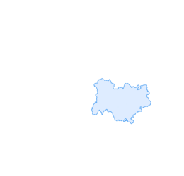

E-mountainbike loop 8 - Marais d'Aignoz - Espace FFC Ain Forestière
Úroveň náročnosti: S2
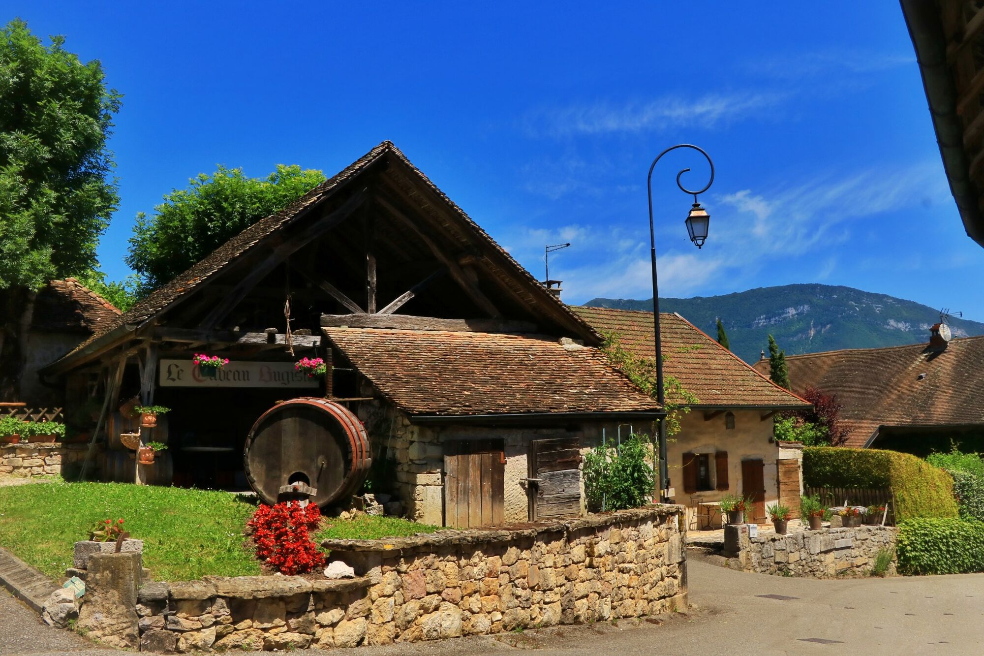
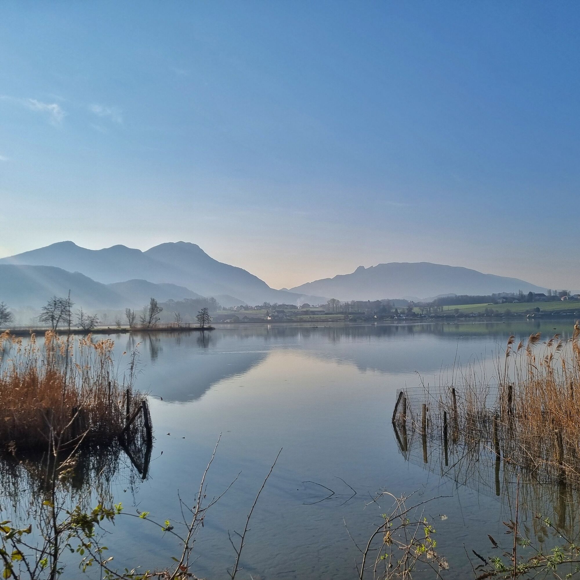
Interesting points along the route: Wine museum and wine tasting cellar in Vongnes, the nature reserve of the Lavours swamp, castle of Grammont (can't be visited), and the Bugey rail bikes.
Follow the signs...
Follow the signs number 8.


It is strongly recommended to have a water bottle, a helmet, a mobile phone, and a repair kit.
There are no difficult passages, please respect the mountain biker's charter.
Faulty signage, incidents / security, usage conflicts, illegal dumping? : locate and share the encountered problem on the national alert system via the SURICATE app or through the site https://sentinelles.sportsdenature.fr/
Highways from Lyon:
A40, exit 8 Saint-Martin-du-Fresne and Hauteville for Les Plans d’Hotonnes and Plateau de Retord
A42, exit 8: Ambérieu-en-Bugey
A43, exit 10 Les Abrets
Departmental roads
D 1504 from Ambérieu-en-Bugey
D 992 from Chambéry
Several parking areas are accessible year-round, including the high school parking located 2 minutes from the start at the end of Rue du 5ème Rtm.
S2
Tourist Office tips.
Bike rental and repair is available at Allo Repair in Belley.
After the effort, enjoy the best tables in the town of Brillat-Savarin at the Café Neuf Brewery and the Terreaux Brewery in the town center.
This long circuit circles the south of Bugey between the Rhône River, the wine villages, and the Lavours Marsh nature reserve.
This route is part of the “Ain Outdoor” selection.
Obľúbené výlety v okolí
-
Hiking loop of the Magnine falls
strednáTuristika 4,38 km -
Hiking in Bugey: up to Chanduraz from Charaillin
ťažkéTuristika 13,0 km -
1,0
Hike of the Clairefontaine waterfall
svetloTuristika 5,46 km -
3,0
Hike: on the ridge of the Grand Colombier (circuit des crêtes)
strednáTuristika 11,3 km -
Hike: Gorges de Thurignin
ťažkéTuristika 14,2 km -
4,0
Hike: Golet au loup
svetloTuristika 7,11 km -
Hike: Chevrier
strednáTuristika 13,5 km -
Hike : Armaille Lake
svetloTuristika 9,42 km -
Cycling tour : Marshes and vineyards in Bugey
svetloCestný bicykel 33,1 km -
4,0
Hike: Montagne de Saint-Benoit
ťažkéTuristika 12,5 km
Turistika a stopovanie


Nenechajte si ujsť ponuky a inšpiráciu na ďalšiu dovolenku
Vaša e-mailová adresa bol pridaný do poštového zoznamu.