






The Maurienn'Ita - Day 4/4 : Val-Cenis (Lanslebourg) > Moncenisio (Italy) by bike

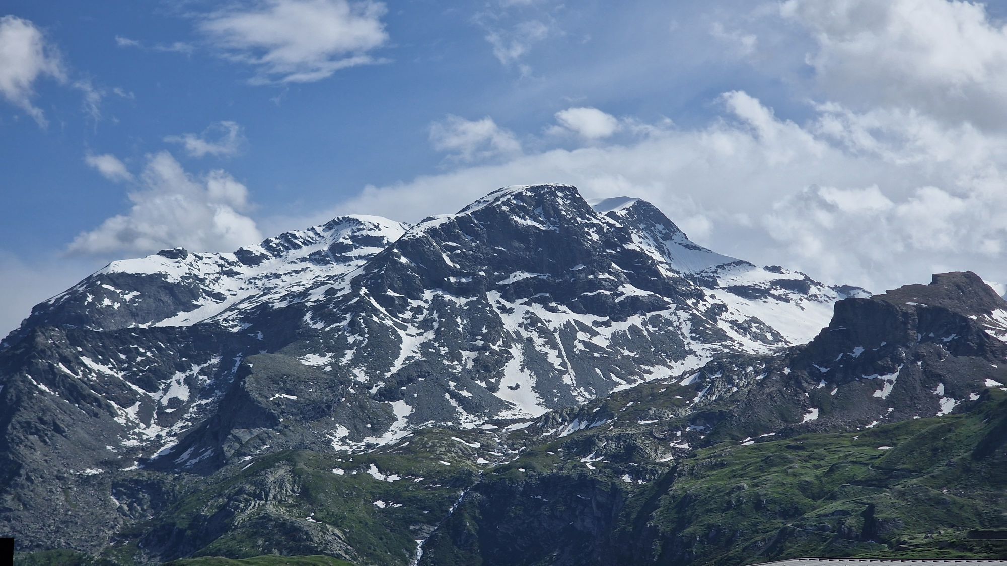
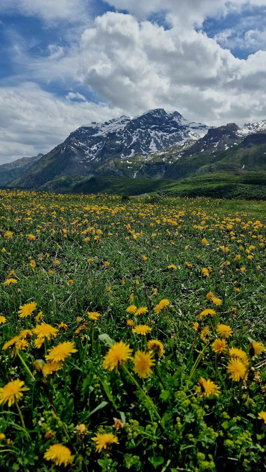
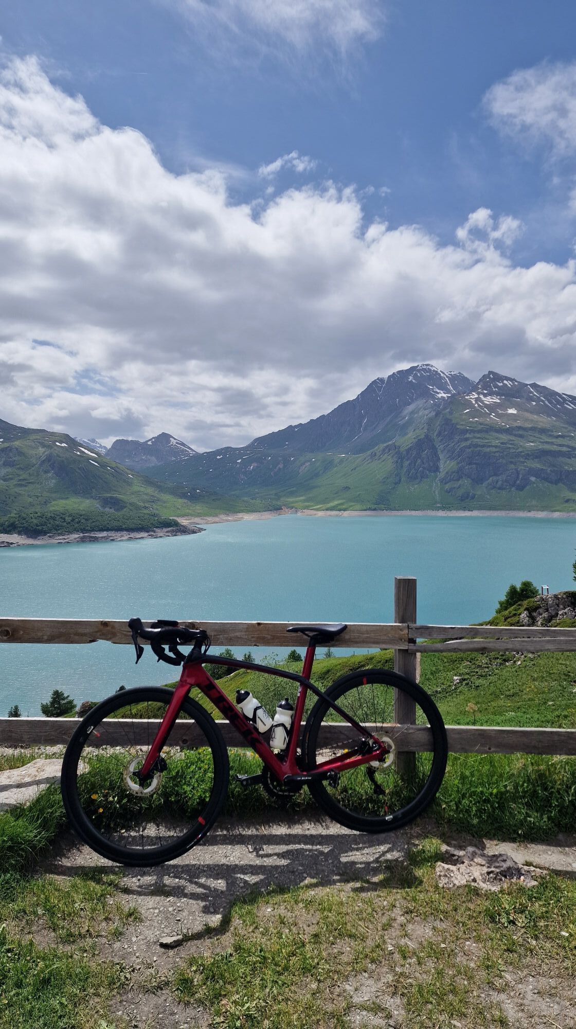
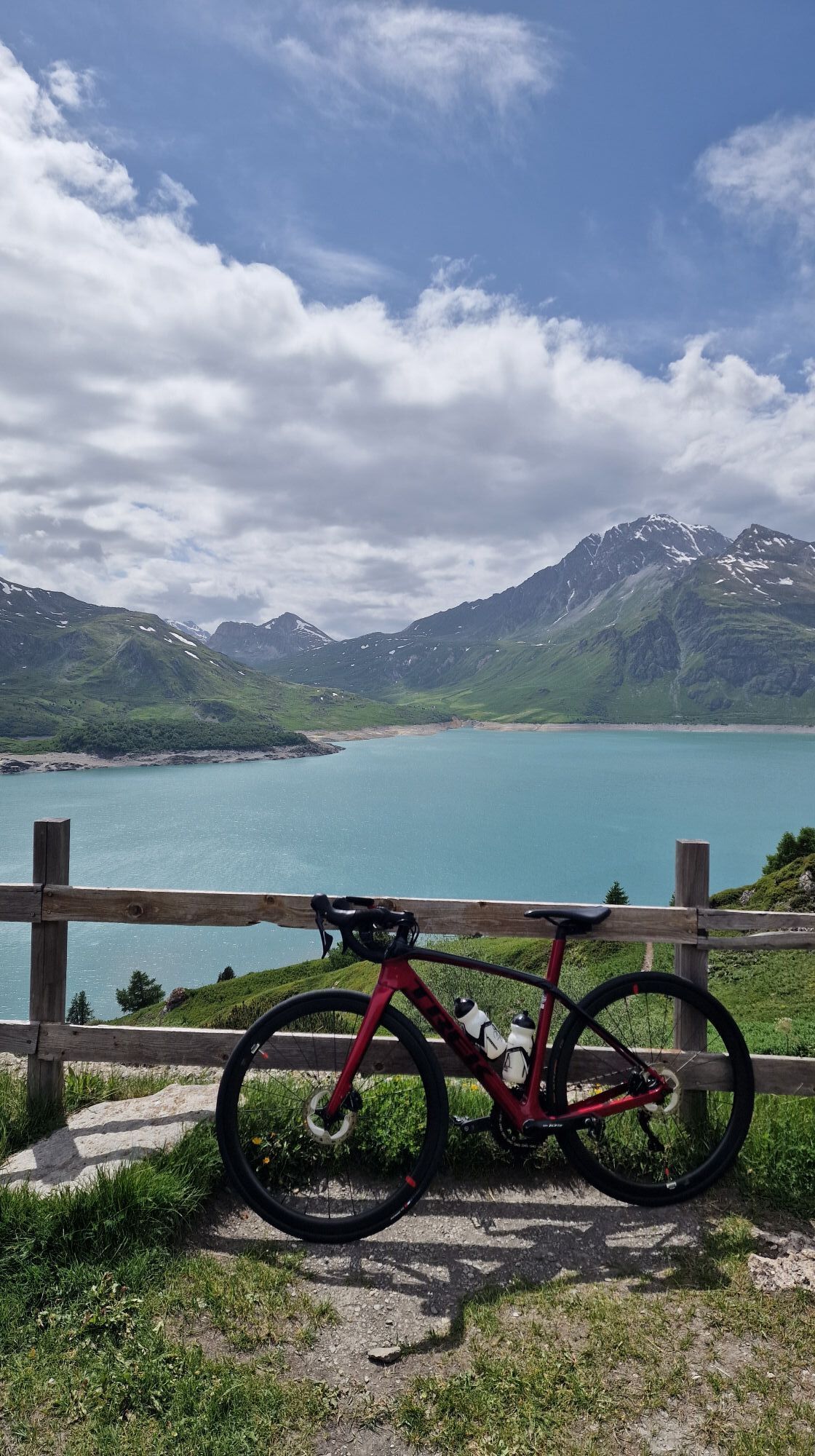
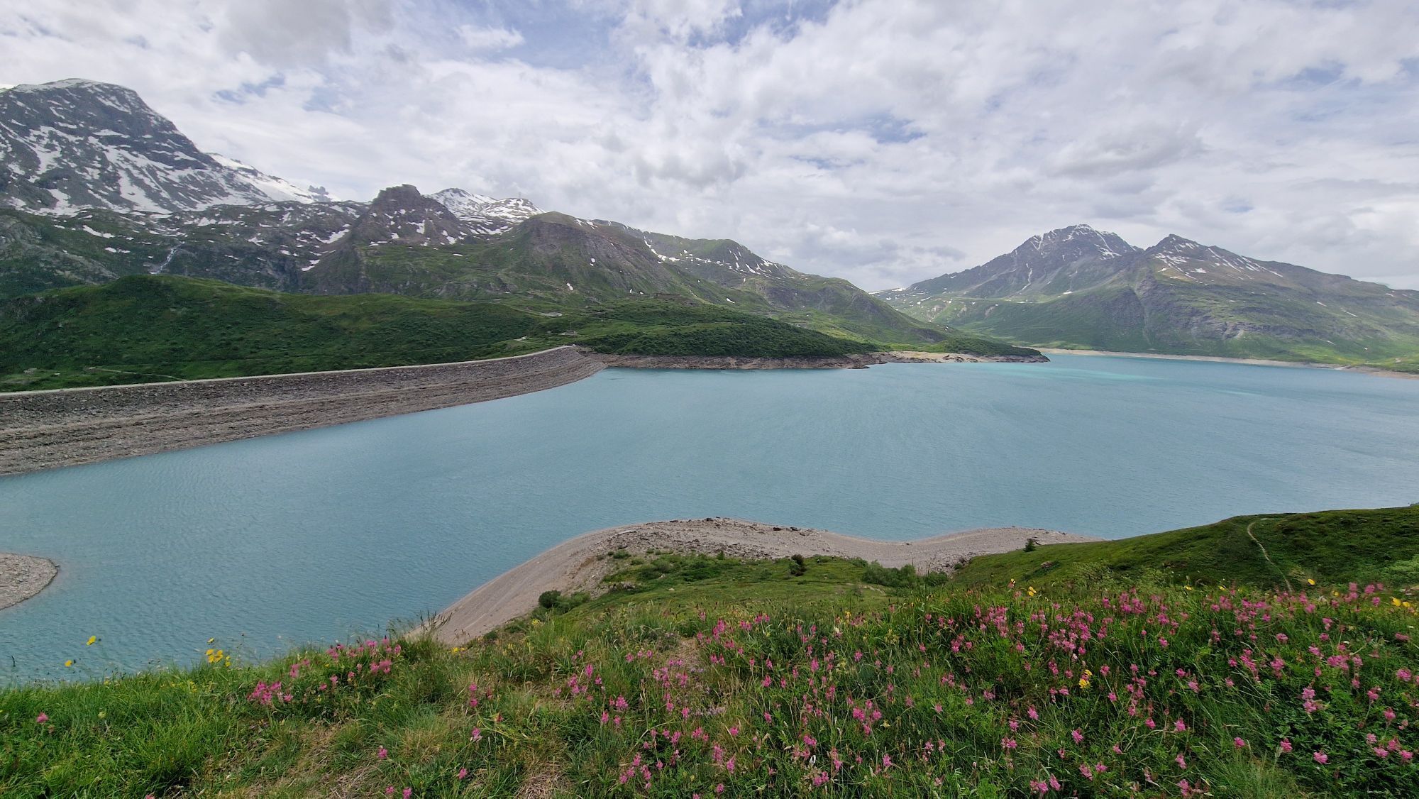
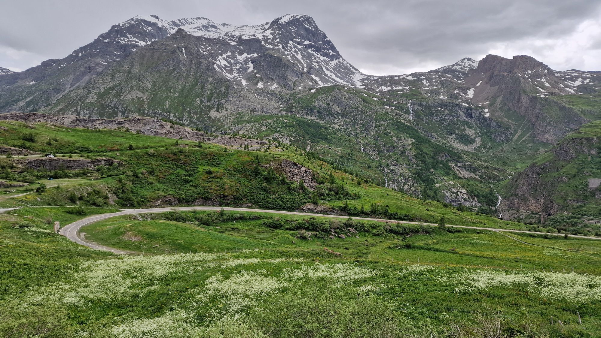
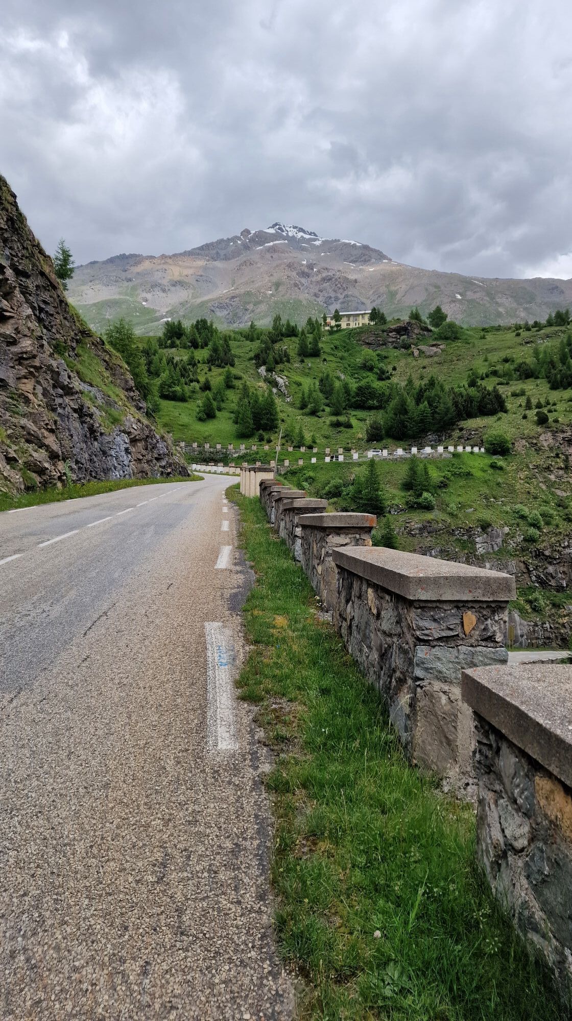
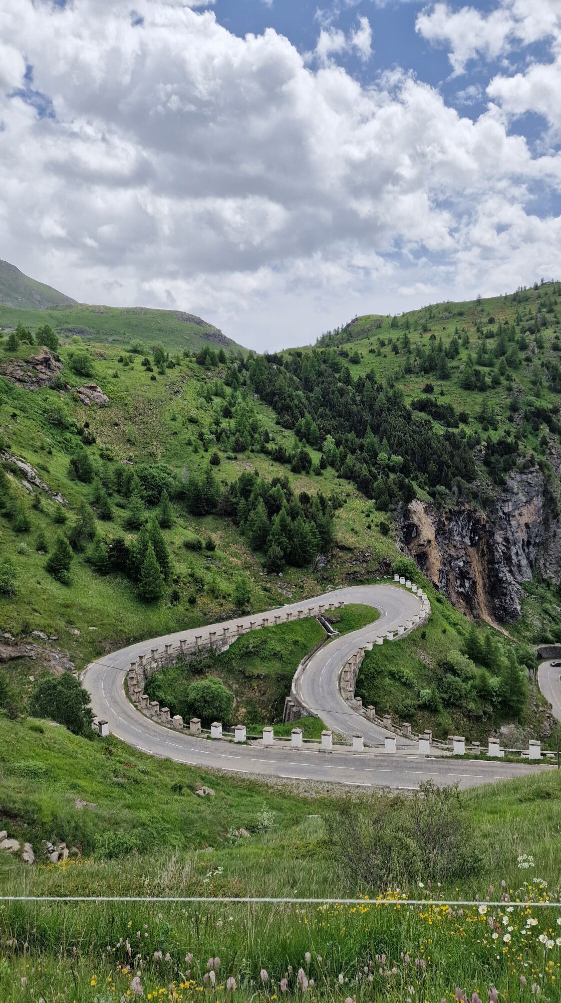
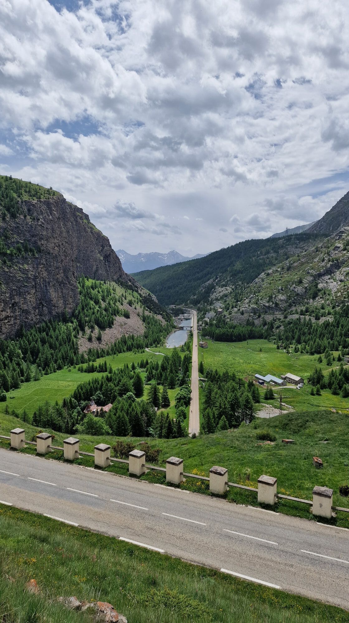
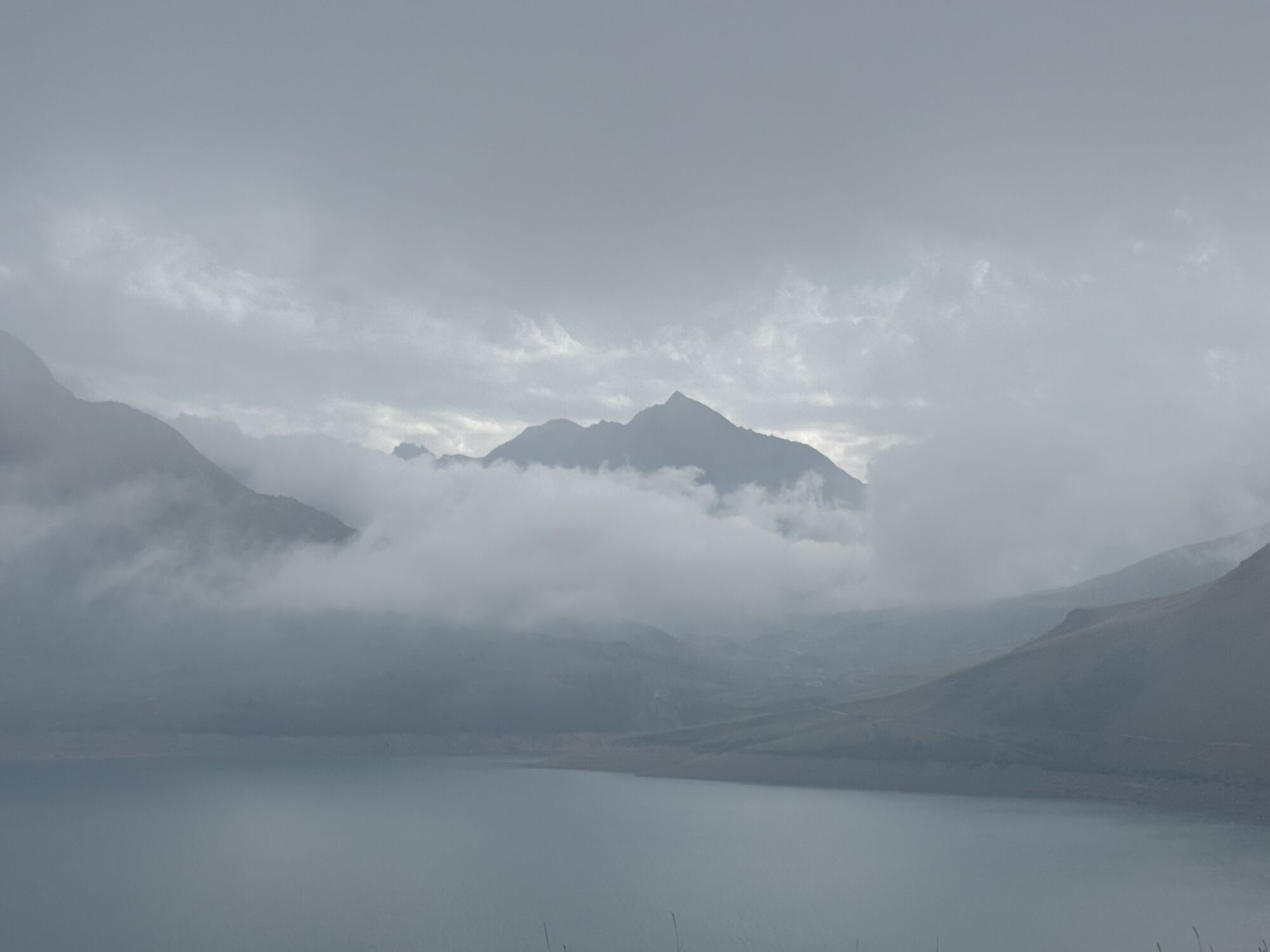
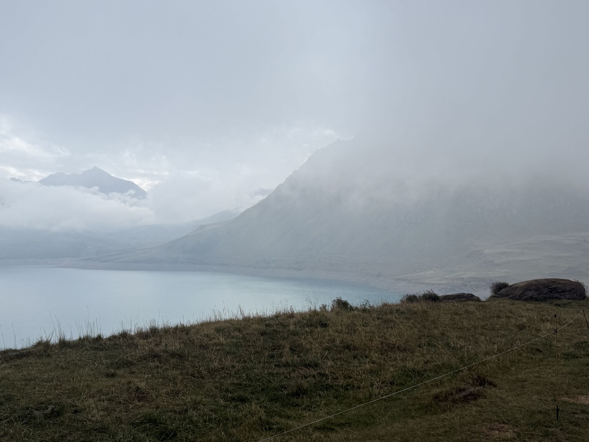
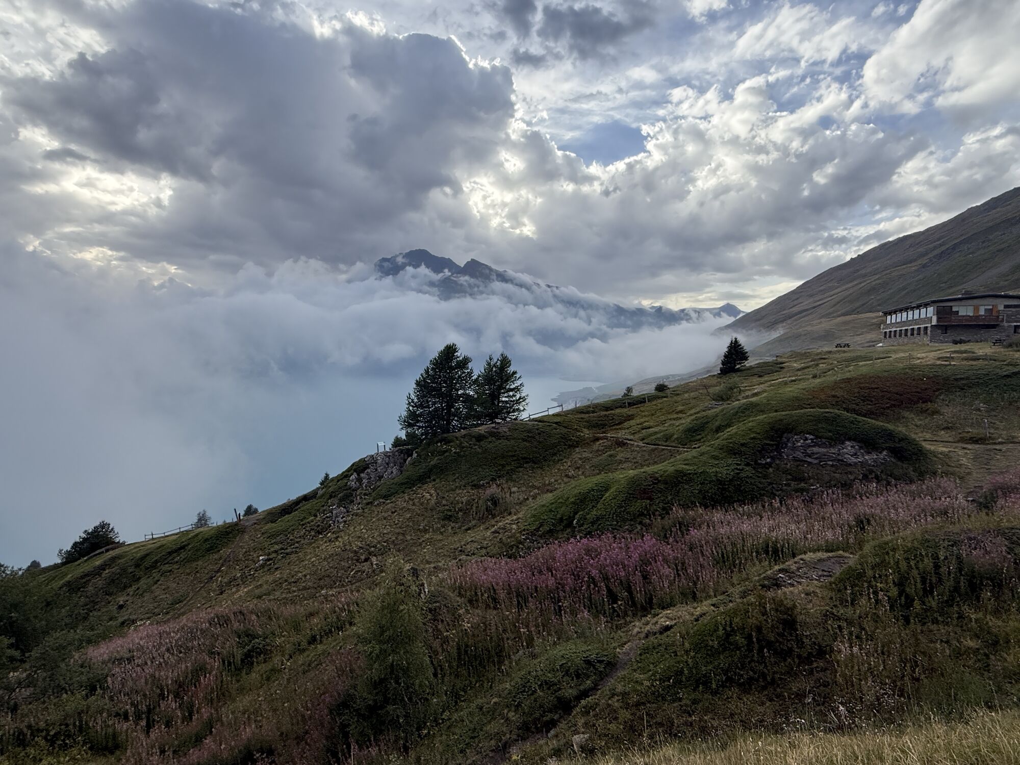
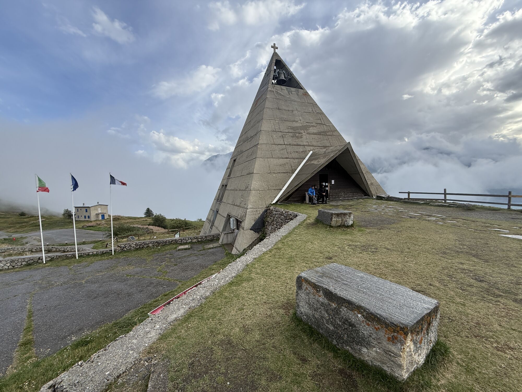
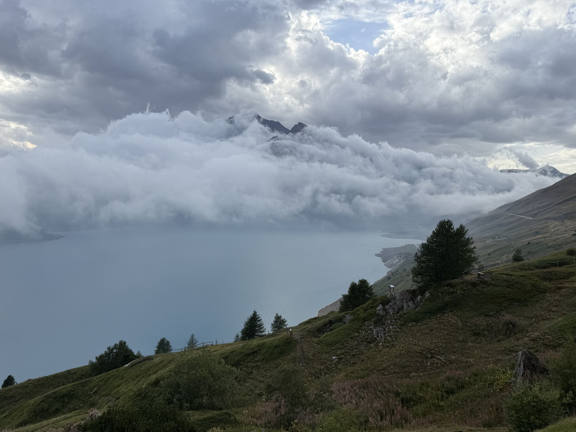
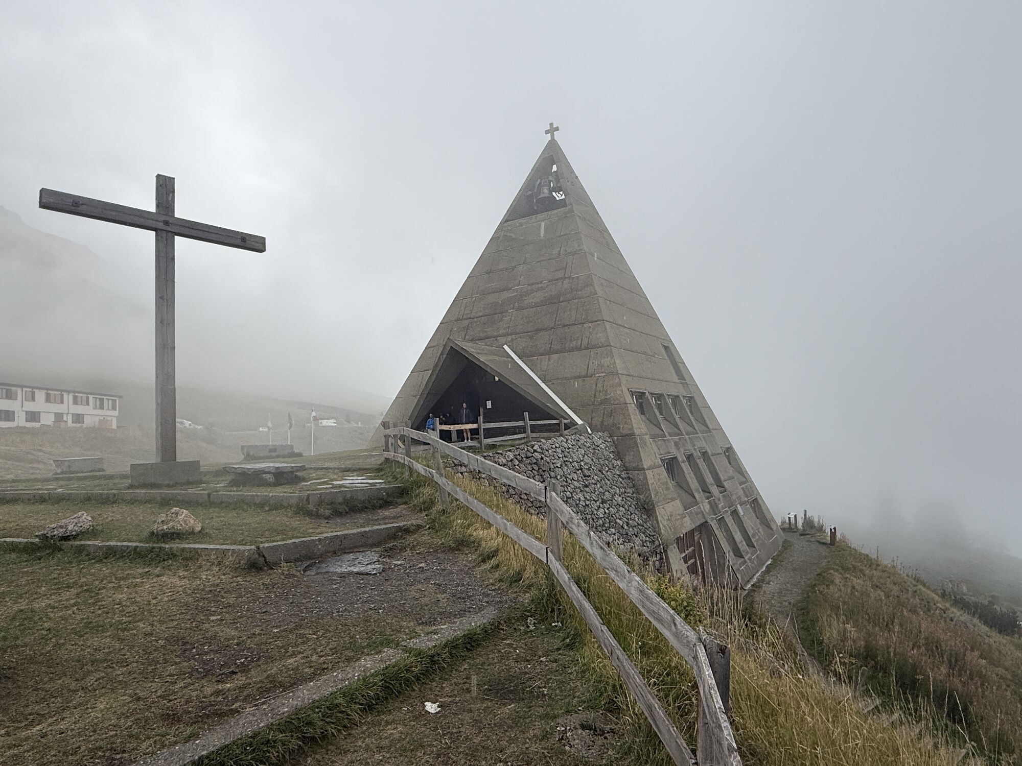
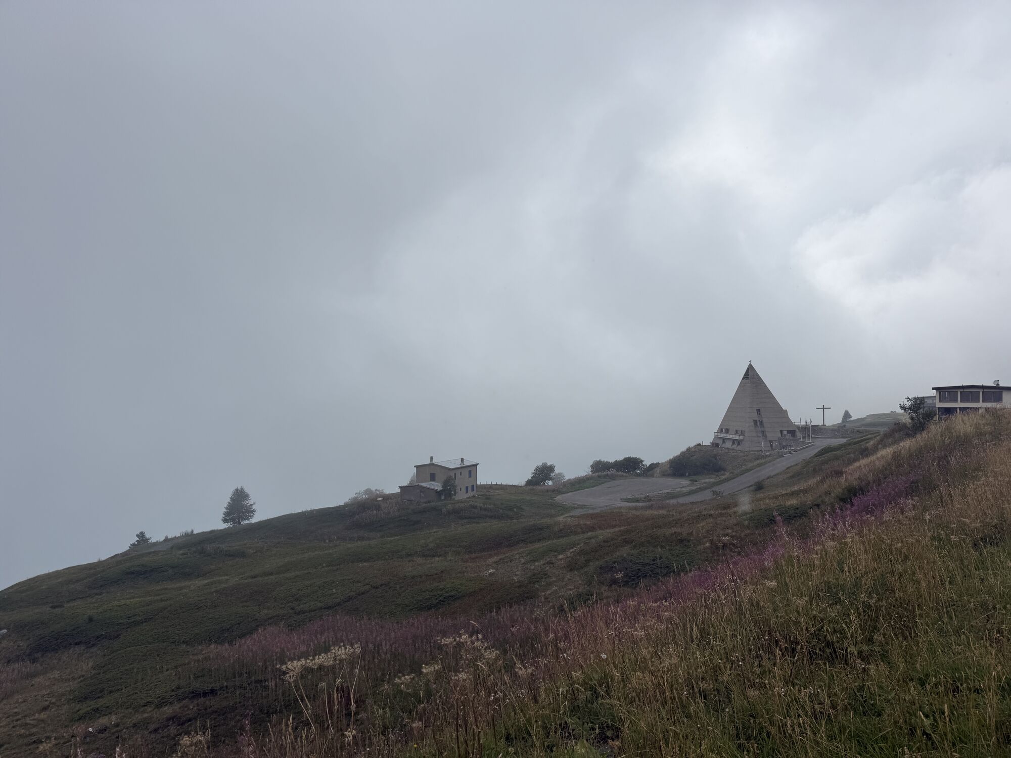
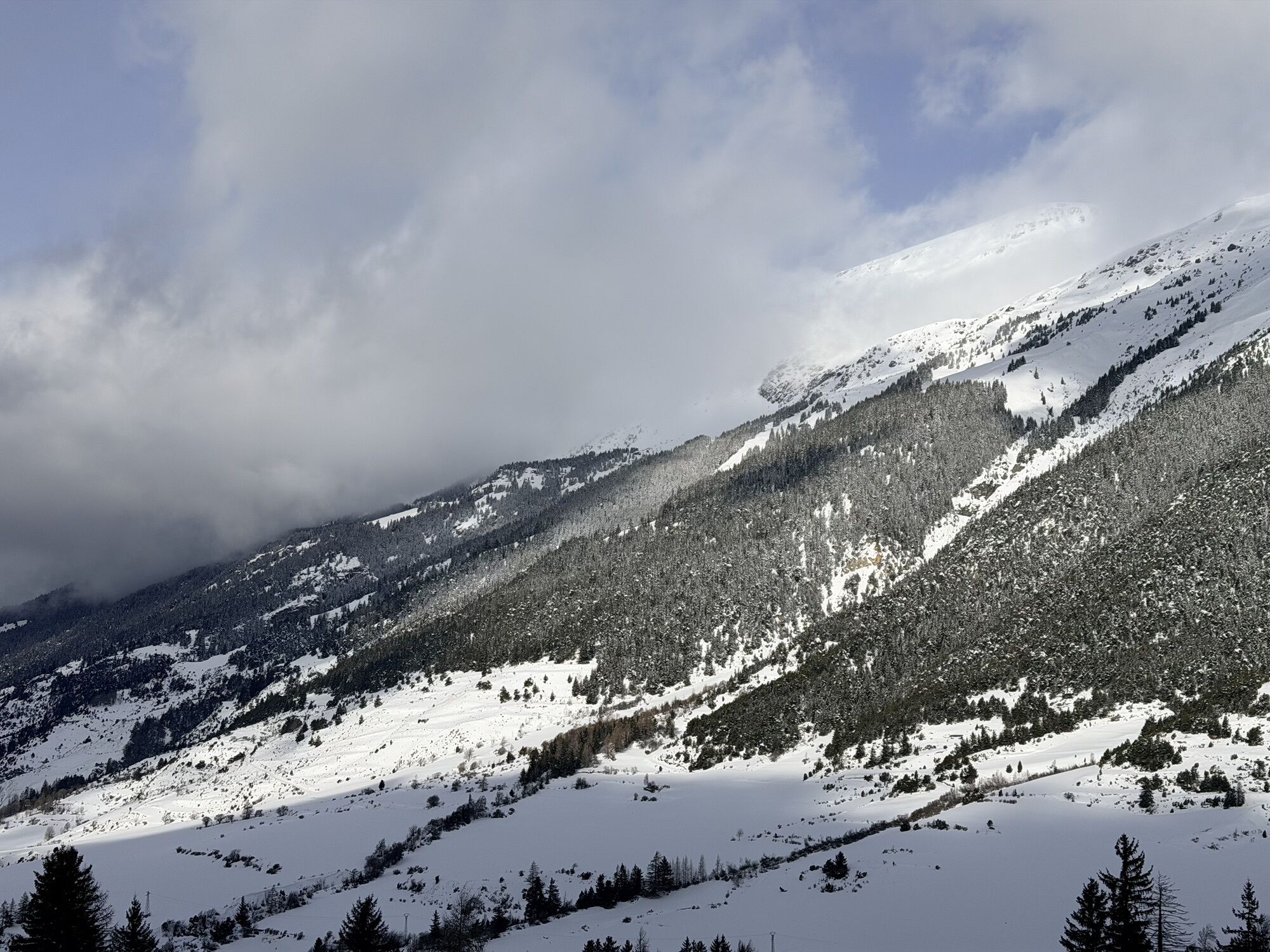
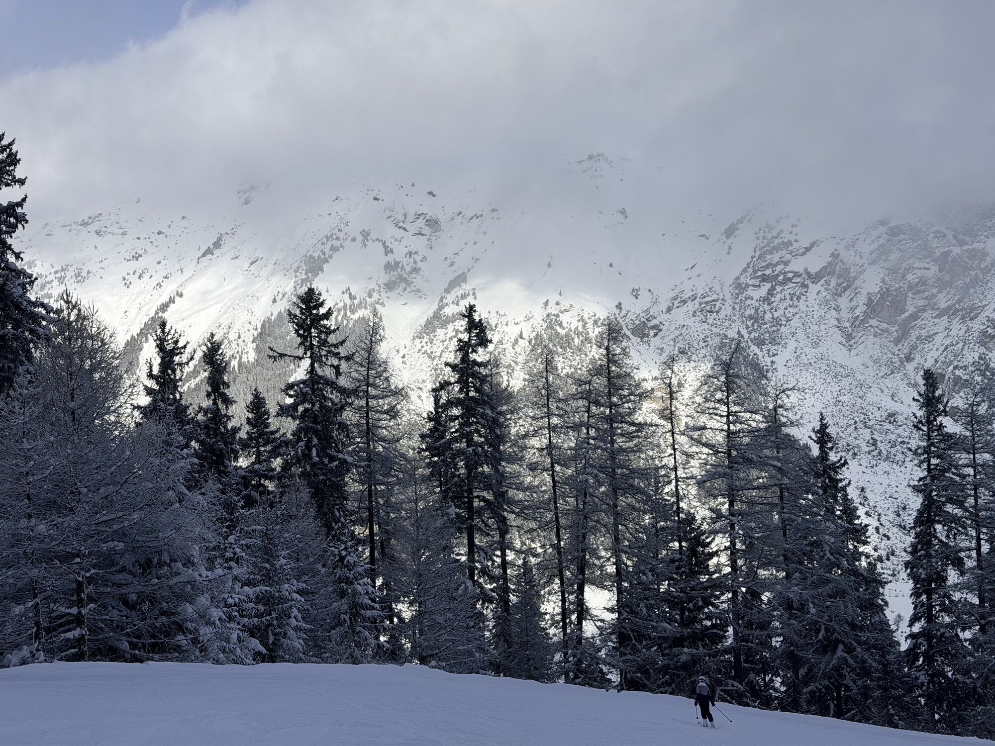
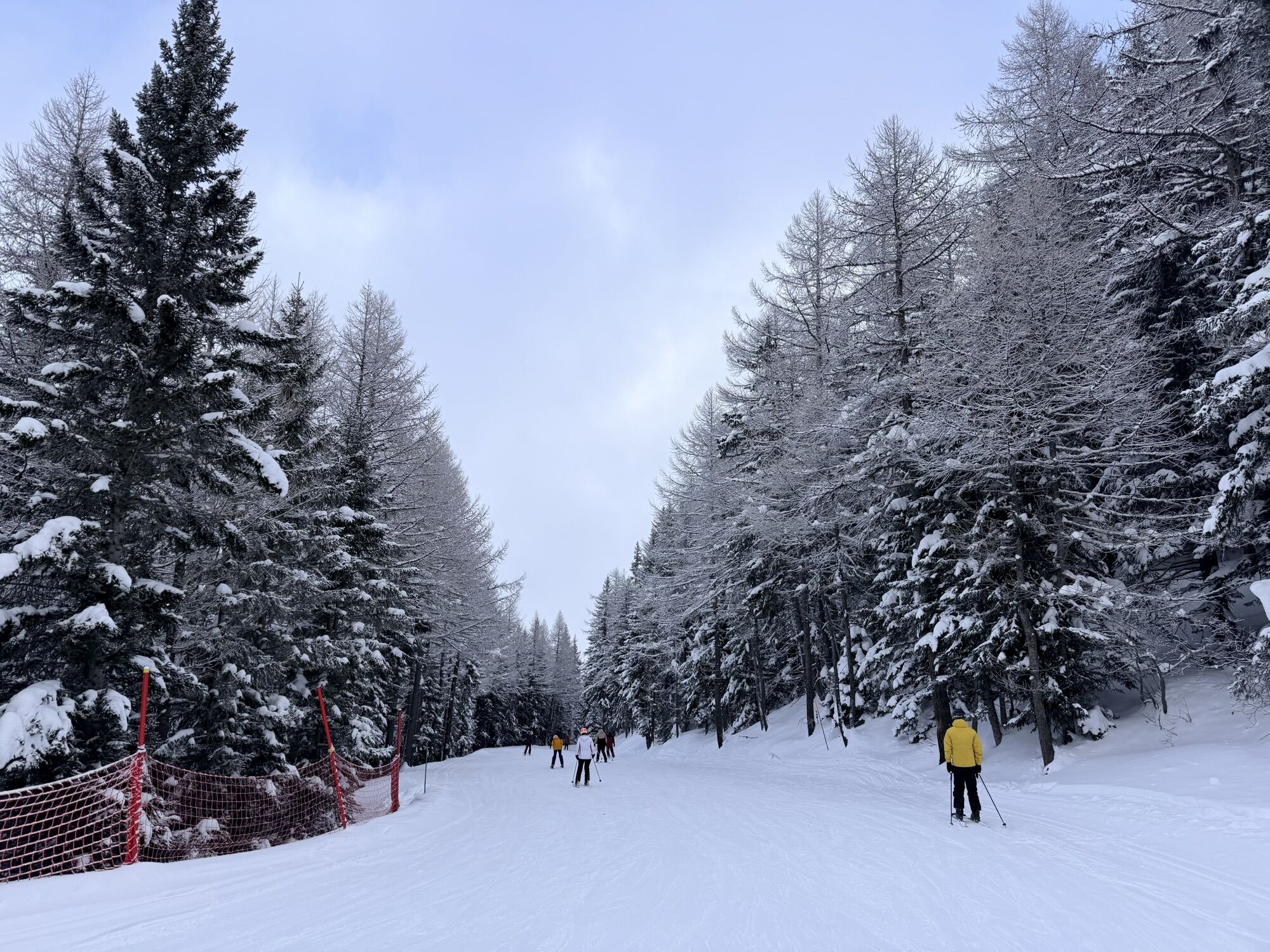
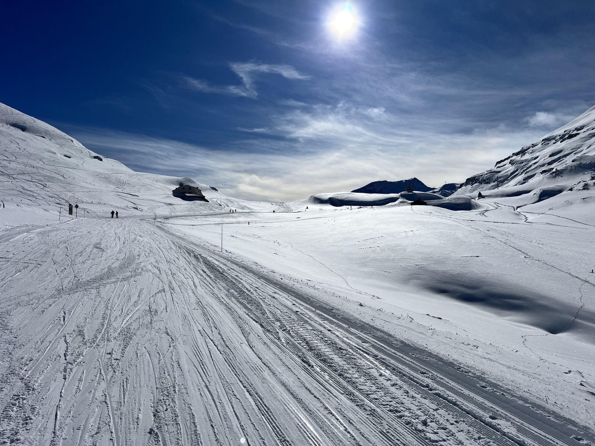
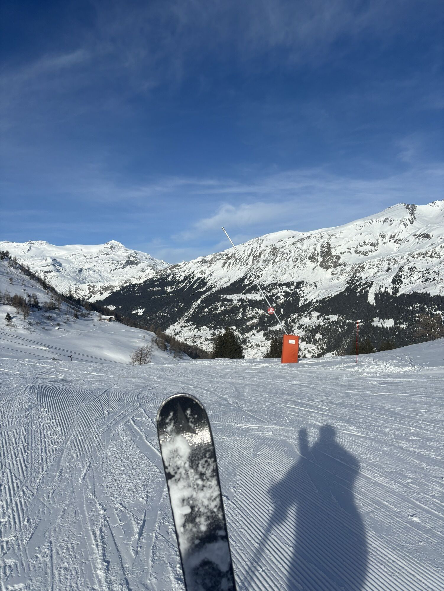
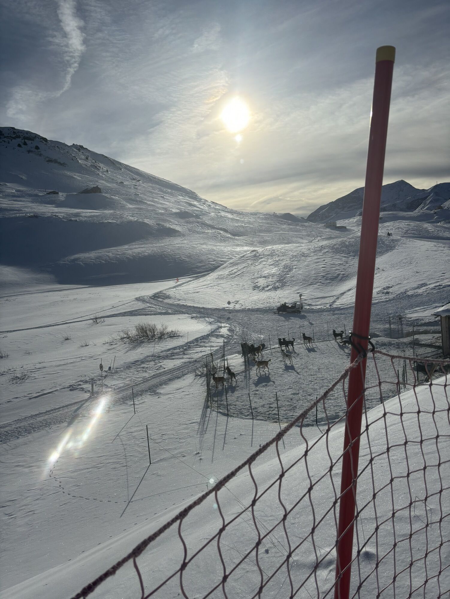
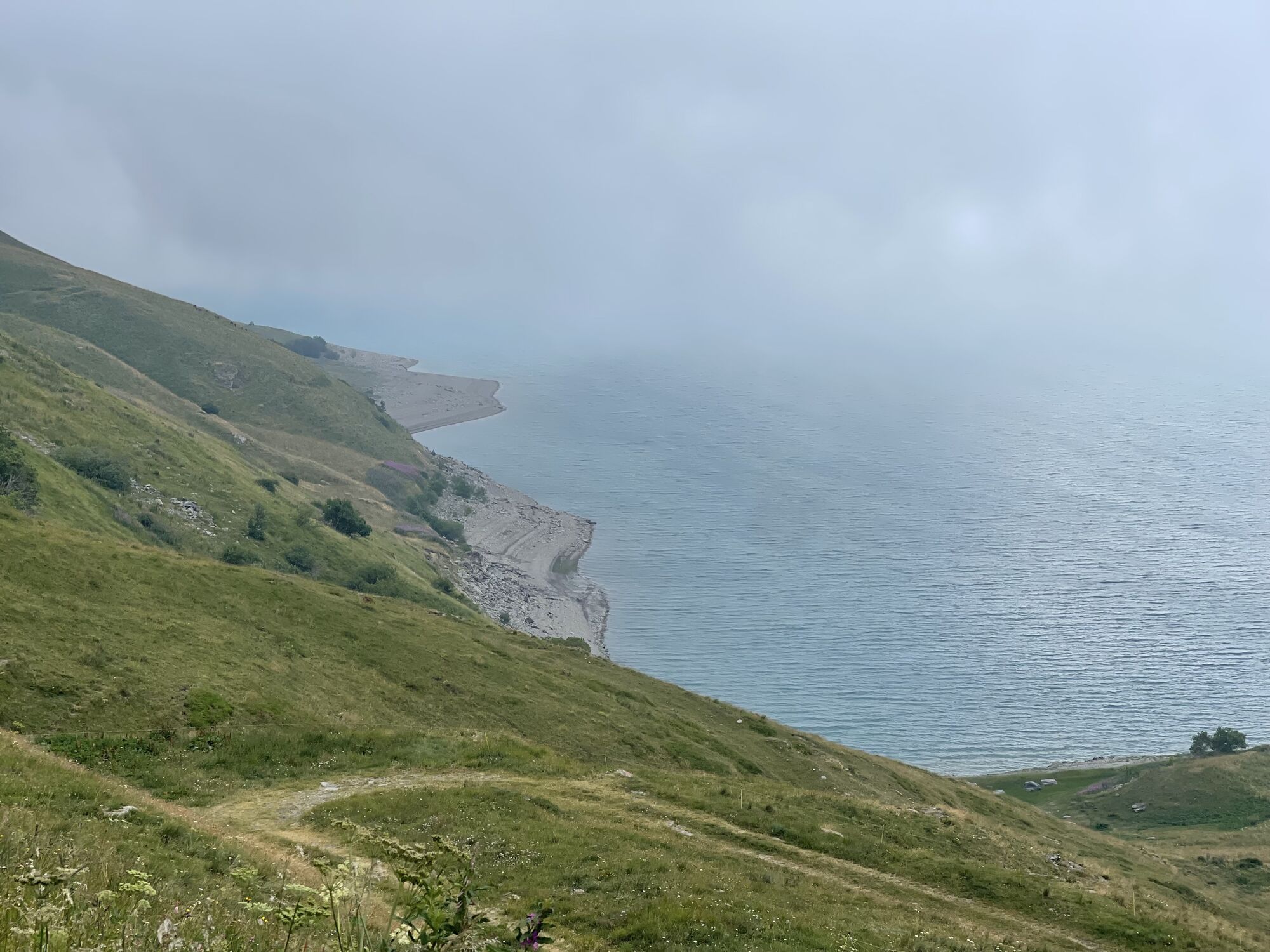
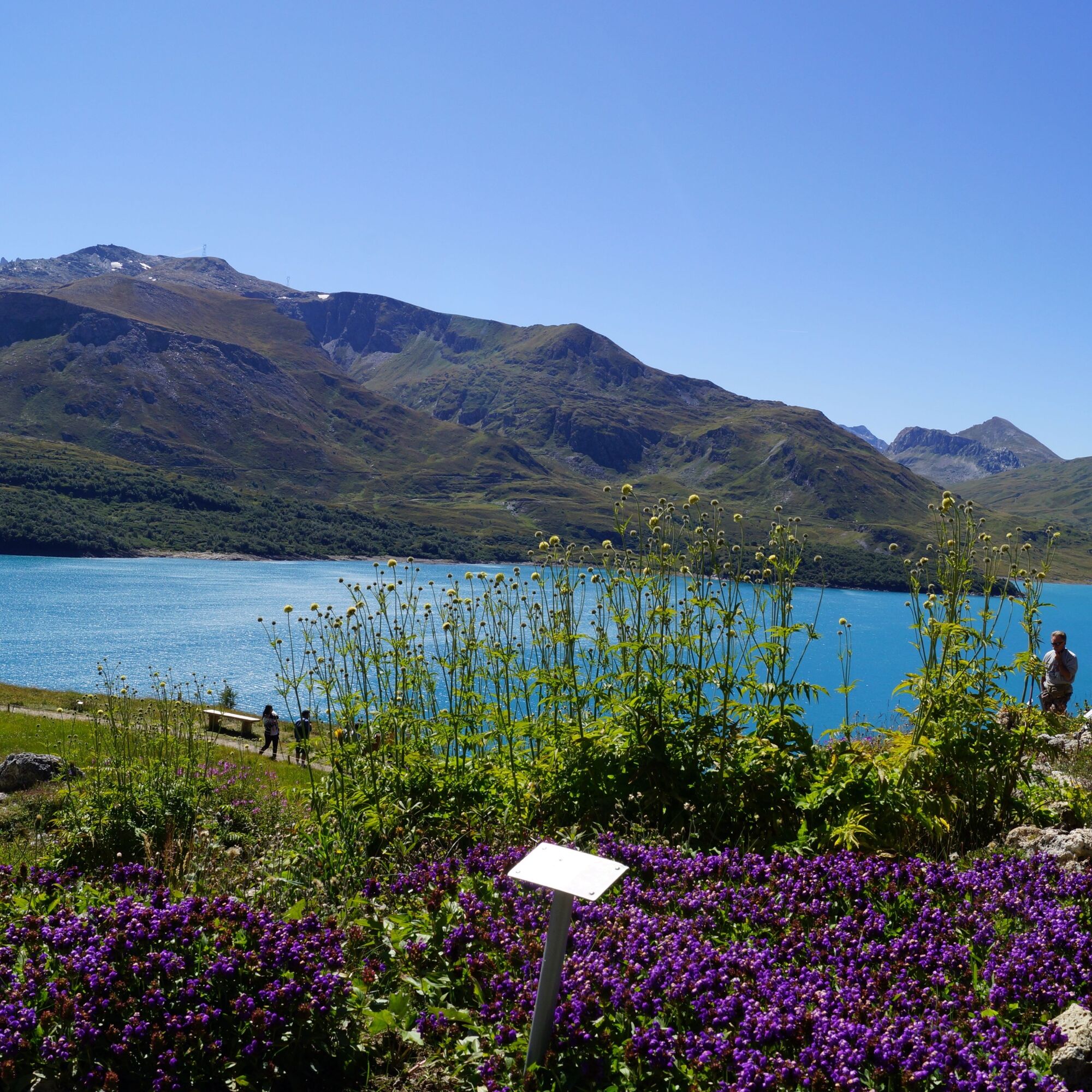
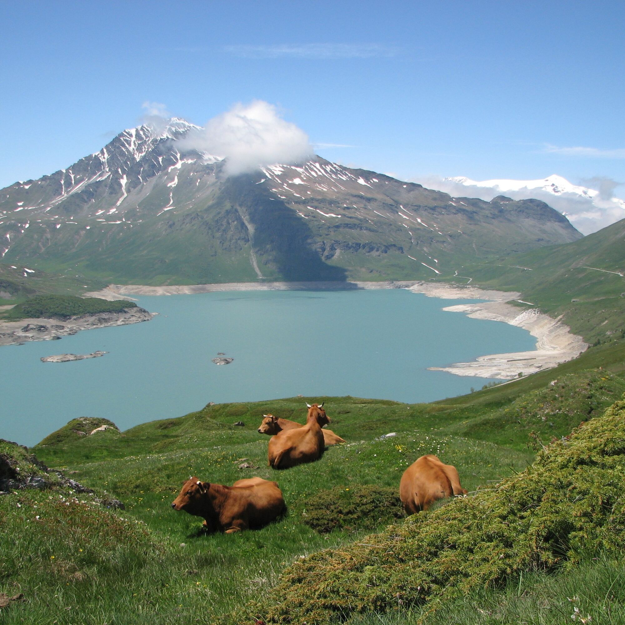
The last big stage before joining Italy, with the ascension the beautiful Col du Mont-Cenis. This historic passage will lead you to an Alpine gem: the Mont Cenis lake. Its turquoise waters will have you...
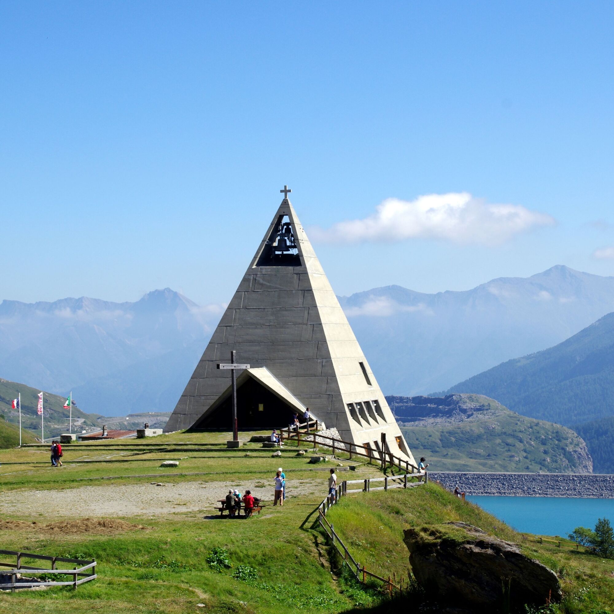
The last big stage before joining Italy, with the ascension the beautiful Col du Mont-Cenis. This historic passage will lead you to an Alpine gem: the Mont Cenis lake. Its turquoise waters will have you saying “wow”, that’s for sure ! Do not hesitate to get off your bike to discover the secrets of this site steeped in history at the Pyramid Museum or, why not, set off to storm the fortifications ! And remember that at this point in your journey, Italy has never been so close!


An error on this sheet? Write to the owner by recalling these references:
Sheet name: La Maurienn'Ita - Day 4/4 : Val-Cenis (Lanslebourg) > Moncenisio (Italy) | Sheet ID: 5891650 | URL (link) of this Outdooractive page.

Obľúbené výlety v okolí
-
4,5
Rocciamelone partedjo dalla Riposa. Mompantero, Piemont/Italien
strednáTuristika 10,6 km -
4,5
Hiking at Lake Clair
ťažkéTuristika 6,99 km -
little 'Haute-Maurienne Vanoise' circuit
ťažkéCestný bicykel 32,0 km -
USSEGLIO Lake Nero from Lake Malciaussia
svetloTuristika 4,79 km -
4,7
High Way of the Lanzo Valleys | Stage 6 Tazzetti Refuge - Lake of Malciaussia
strednáTuristika 5,49 km -
SUSA From Susa to Rocciamelone
ťažkéTuristika 13,7 km -
Col de l'Iseran from Modane
ťažkéCestný bicykel 59,5 km -
Col du Mont Cenis from Modane
ťažkéCestný bicykel 34,8 km -
Hike from the Avérole refuge through the hamlet
strednáTuristika 9,36 km -
5,0
Cima Quattro Denti (from Grange della Valle)
strednáTuristika 5,30 km
Turistika a stopovanie


Nenechajte si ujsť ponuky a inšpiráciu na ďalšiu dovolenku
Vaša e-mailová adresa bol pridaný do poštového zoznamu.





