Col du Mont Cenis from Modane
ťažké
Získajte túto prehliadku v mobilnom telefóne
Col du Mont Cenis from Modane
ťažké
Cestný bicykel
34,76
km
Naskenujte kód QR a spustite navigáciu v aplikácii bergfex

Turistika a stopovanie


Col du Mont Cenis from Modane
ťažké
Vzdialenosť
34,76
km
Trvanie
02:32
h
Ascent
1 051
hm
Hladina mora
1 053 -
2 083
m
Stiahnutie skladby
Col du Mont Cenis from Modane
ťažké
Cestný bicykel
34,76
km
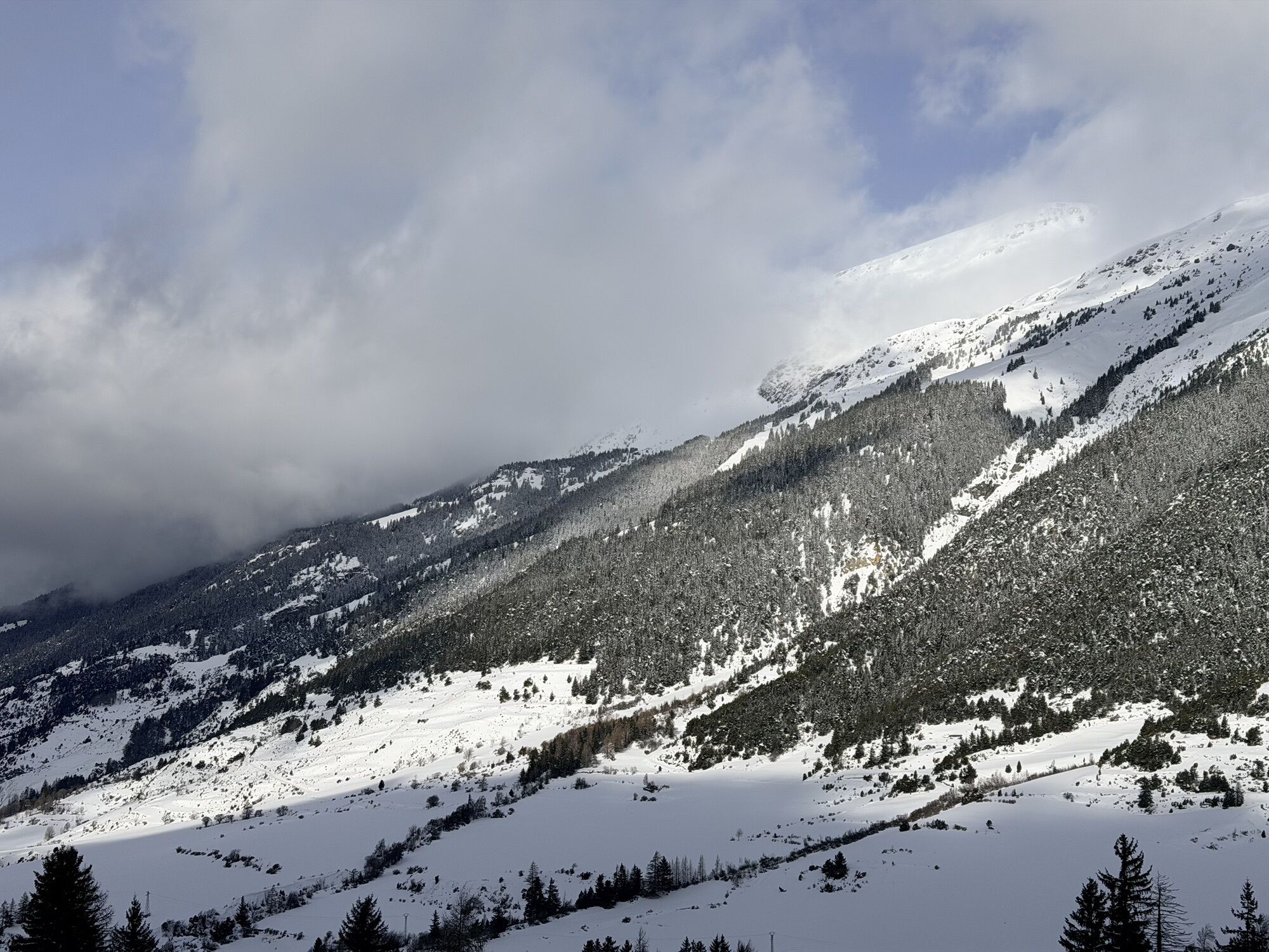
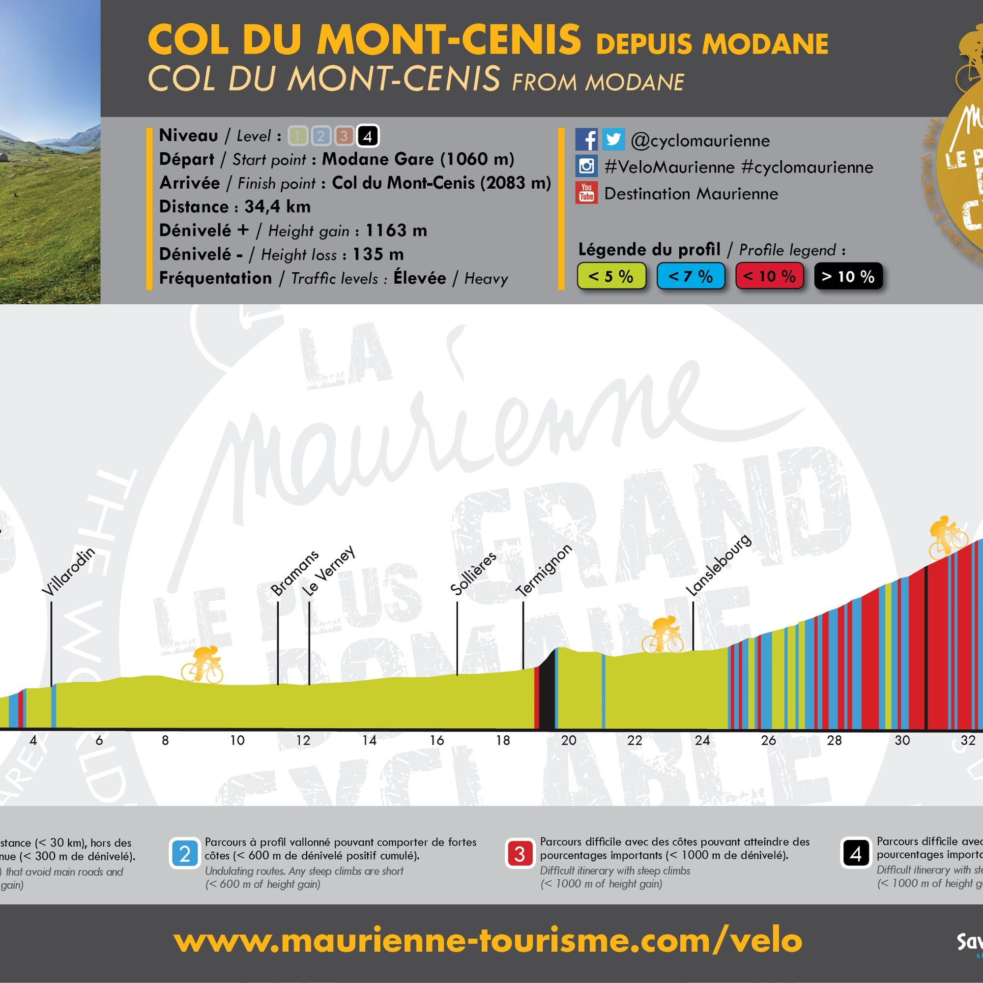
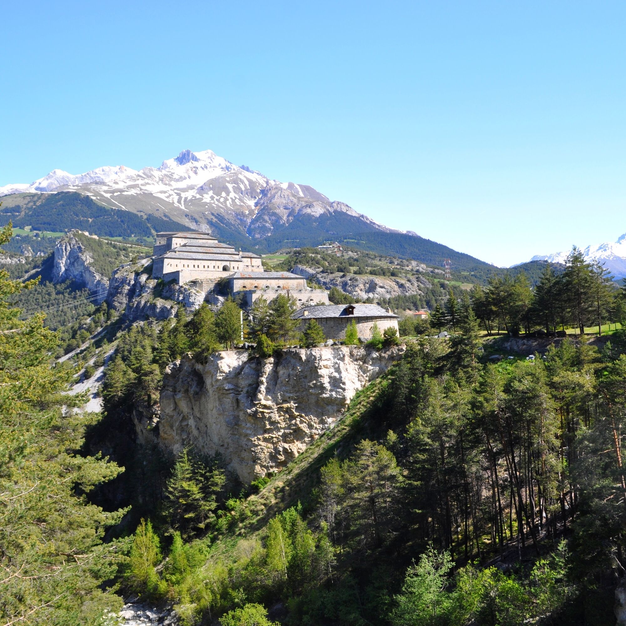
From Modane, follow the Departmental Road 1006 towards Lanslebourg / Mont-Cenis Pass. Admire on the route the spectacular fortification barrier of the Esseillon.
The main difficulty of this route is the...
Opis
From Modane, follow the Departmental Road 1006 towards Lanslebourg / Mont-Cenis Pass. Admire on the route the spectacular fortification barrier of the Esseillon.
The main difficulty of this route is the climb of the "bario" of Termignon. Just outside the village, you will have to tackle a very steep slope of more than 15% gradient for about half a kilometre.
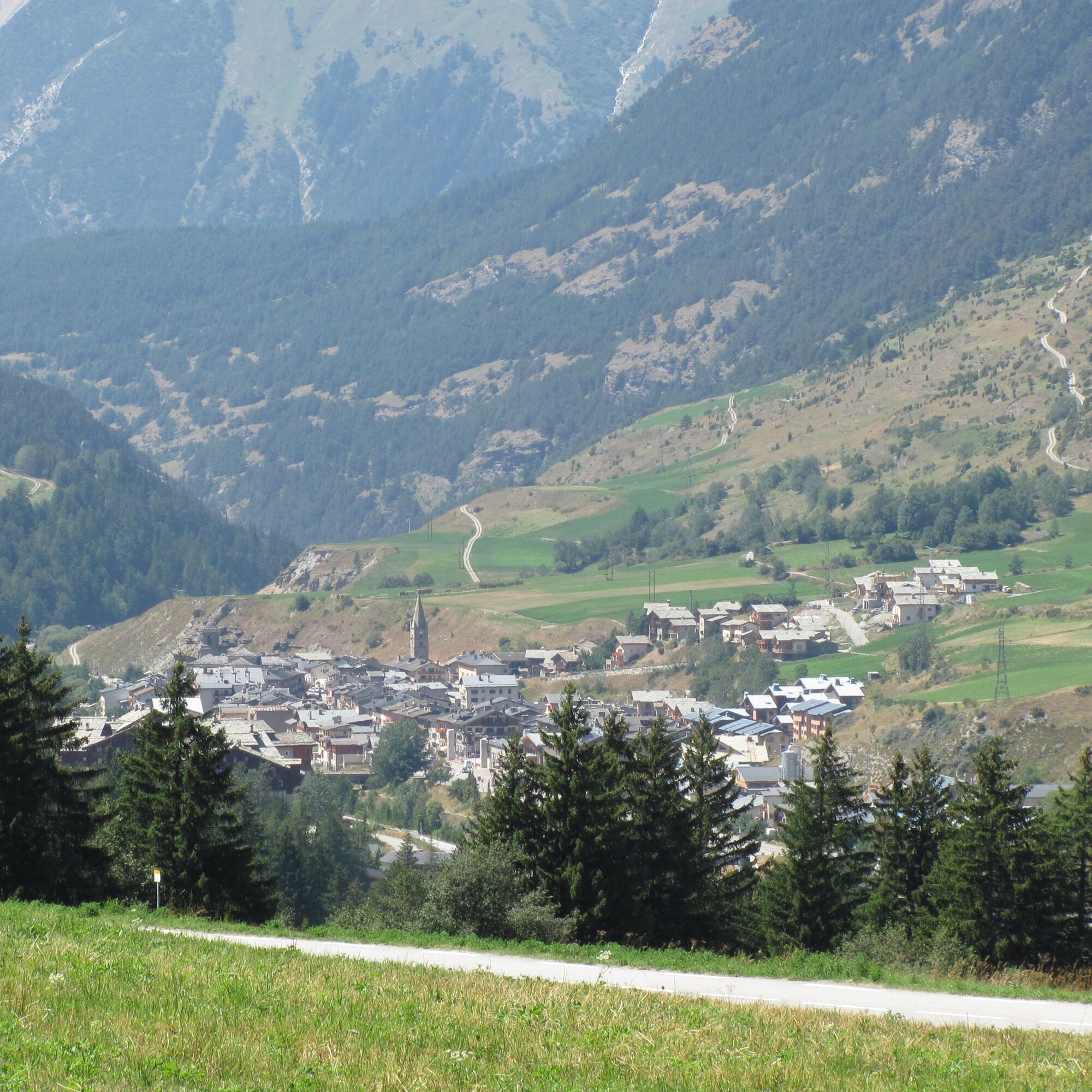
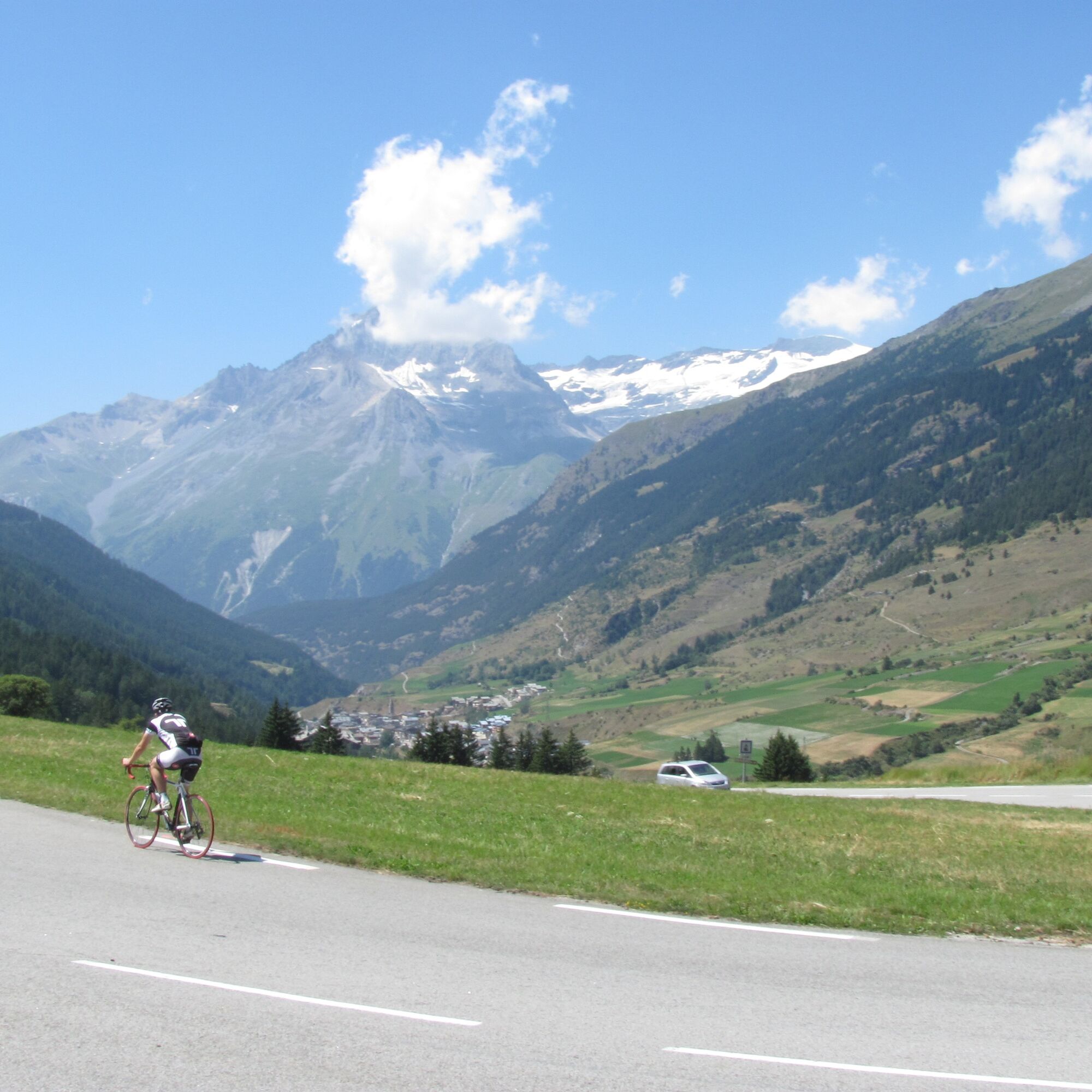
Once this difficulty is past, you will easily reach the village of Lanslebourg downhill, the last village crossed before the 10 km ascent of the Mont-Cenis pass.
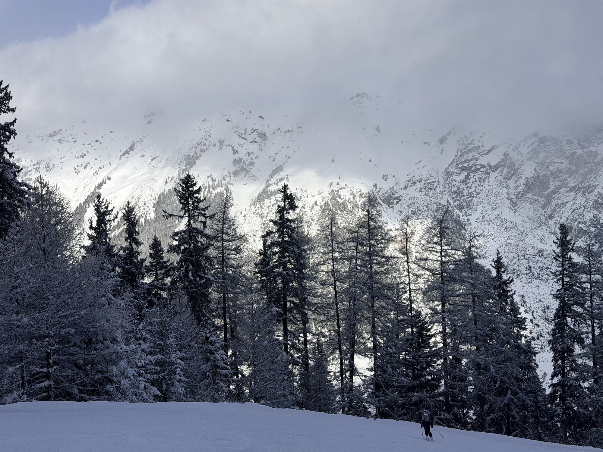
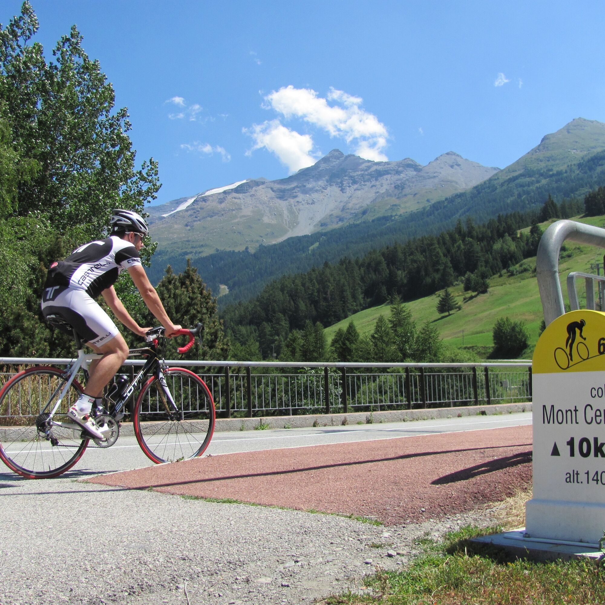
This pass is equipped with kilometre markers: every 1000m you are informed of the remaining kilometres, the altitude, and the average gradient of the next kilometre.
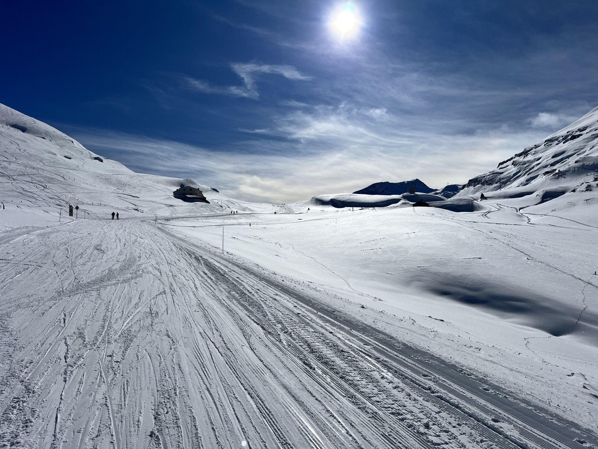
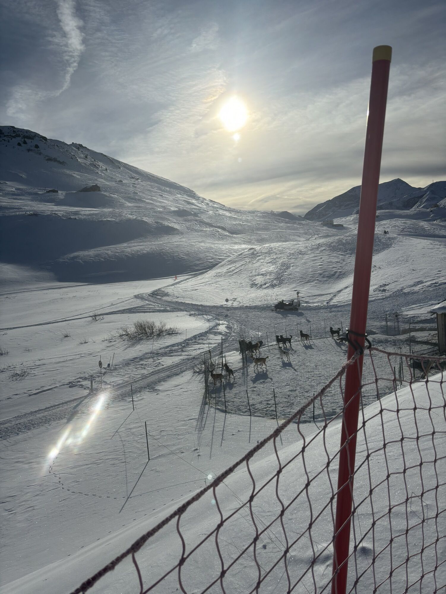
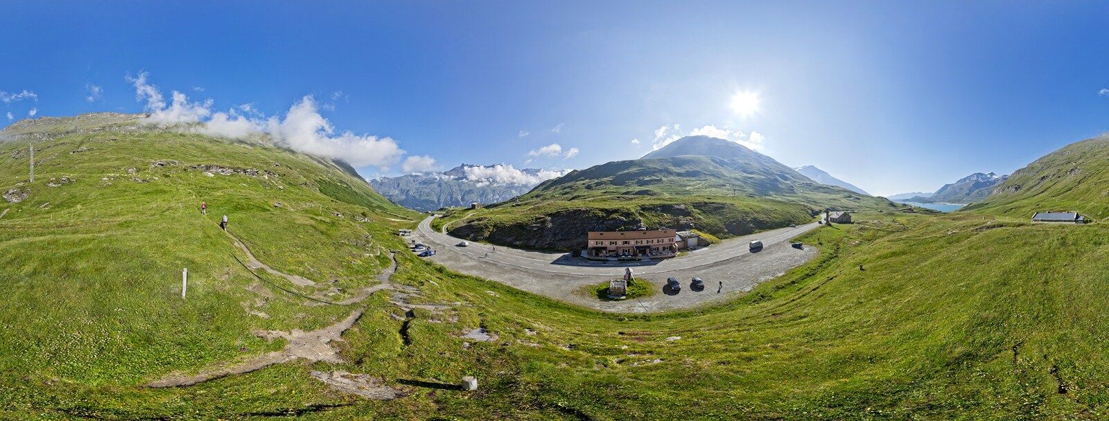
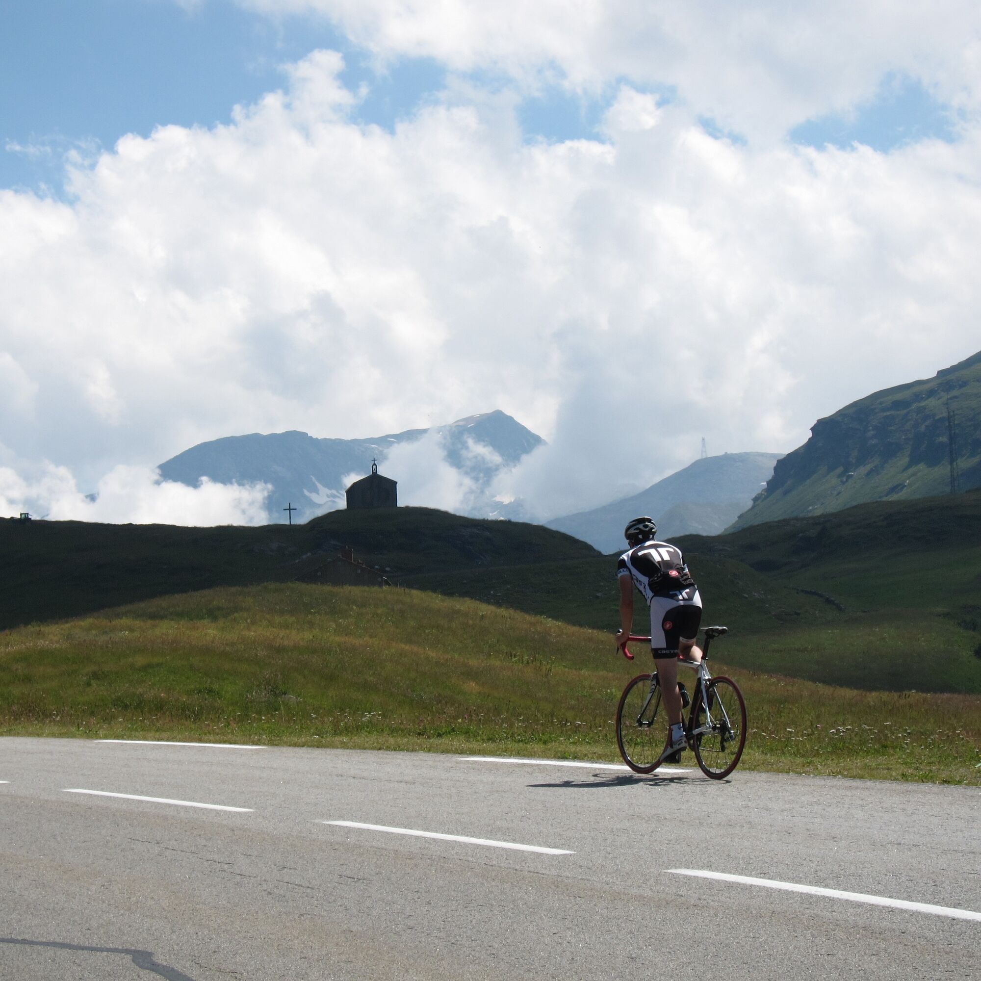
At the Mont-Cenis pass, you will find a small café, and the landscape opens up onto the plateau and the Mont-Cenis lake.
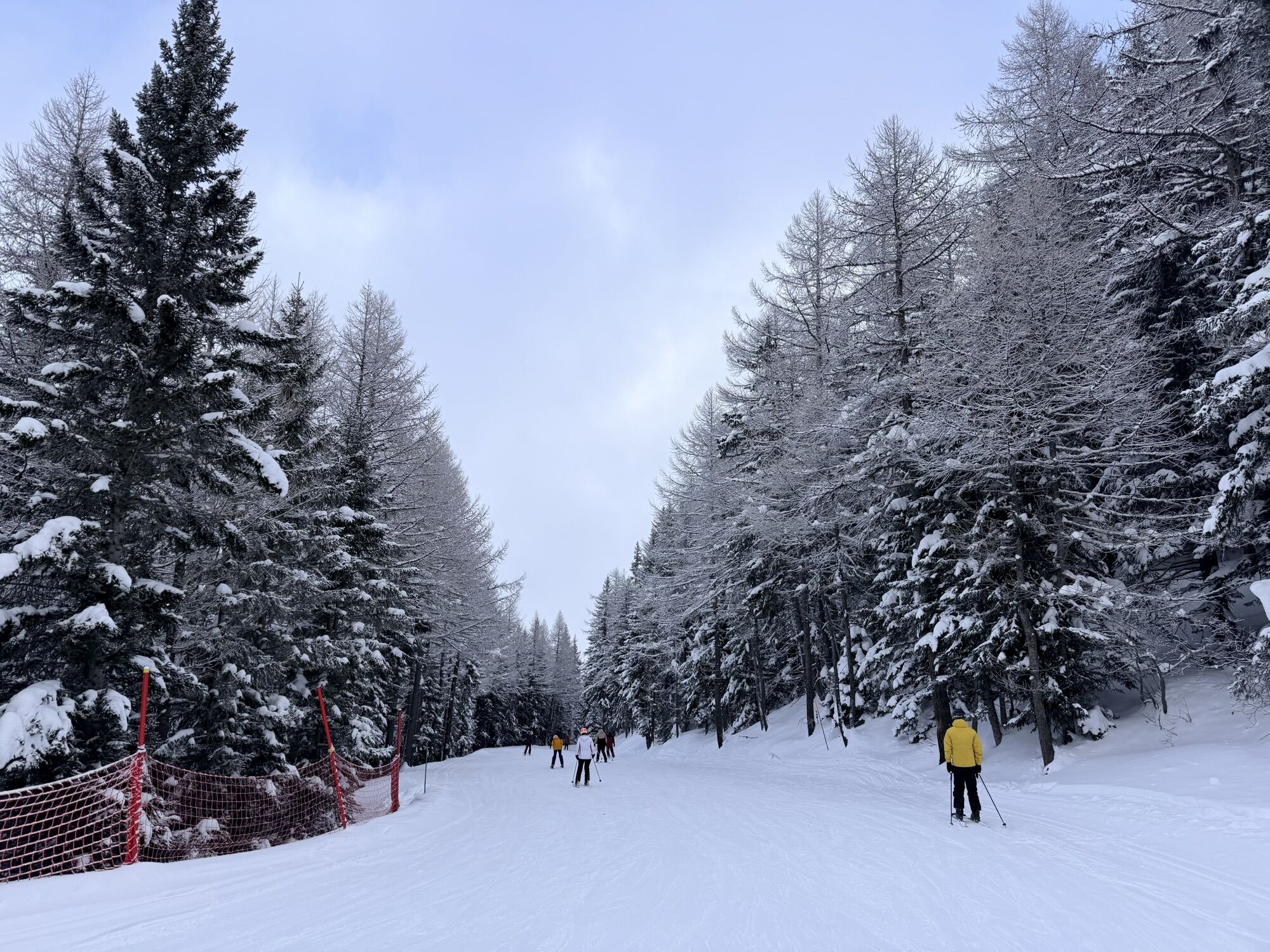
You are strongly encouraged to continue your route either towards the Mont-Cenis Pyramid which offers a magnificent panorama over the lake, or towards the Petit-Mont-Cenis pass which extends the climb into a preserved and beautiful valley.
The main difficulty of this route is the climb of the "bario" of Termignon. Just outside the village, you will have to tackle a very steep slope of more than 15% gradient for about half a kilometre.
Once this difficulty is past, you will easily reach the village of Lanslebourg downhill, the last village crossed before the 10 km ascent of the Mont-Cenis pass.
This pass is equipped with kilometre markers: every 1000m you are informed of the remaining kilometres, the altitude, and the average gradient of the next kilometre.
At the Mont-Cenis pass, you will find a small café, and the landscape opens up onto the plateau and the Mont-Cenis lake.
You are strongly encouraged to continue your route either towards the Mont-Cenis Pyramid which offers a magnificent panorama over the lake, or towards the Petit-Mont-Cenis pass which extends the climb into a preserved and beautiful valley.
Trasa
Modane
(1 068 m)
Dedina
1,4 km
Villarodin
(1 179 m)
Zúčtovanie
4,8 km
Les Grands Prés
(1 238 m)
Zúčtovanie
11,1 km
Lenfrey
(1 233 m)
Zúčtovanie
12,7 km
Église Notre-Dame de l'Assomption
(1 390 m)
Miesto uctievania
24,2 km
Lanslebourg-Mont-Cenis
(1 390 m)
Dedina
24,4 km
Chapelle Saint-Pierre
(2 086 m)
Miesto uctievania
34,6 km
Trasa
Col du Mont Cenis from Modane
ťažké
Cestný bicykel
34,76
km
Modane
(1 057 m)
Železničná stanica
0,1 km
Jardin public
(1 060 m)
Detské ihrisko
1,4 km
Modane
(1 068 m)
Dedina
1,4 km
La Boucle
(1 093 m)
Susedstvo
2,3 km
Villarodin
(1 179 m)
Zúčtovanie
4,8 km
Cascade du Nant
(1 133 m)
Vodopád
6,7 km
Les Frênes
(1 222 m)
Koridor/terén
10,8 km
Bramans
(1 251 m)
Dedina
11,0 km
Les Glières
(1 226 m)
Koridor/terén
11,0 km
Les Grands Prés
(1 238 m)
Zúčtovanie
11,1 km
Le Verney
(1 222 m)
Dedina
11,9 km
L'Ilaz
(1 220 m)
Koridor/terén
12,0 km
Lenfrey
(1 233 m)
Zúčtovanie
12,7 km
Plan de Serenaz
(1 249 m)
Zúčtovanie
12,7 km
Champ-Jean
(1 230 m)
Koridor/terén
12,7 km
Sollières-Sardières
(1 299 m)
Dedina
16,5 km
La tête à l'envers
(1 274 m)
Reštaurácia
16,7 km
Termignon
(1 296 m)
Dedina
18,7 km
Val-Cenis
(1 296 m)
Dedina
18,7 km
Église Notre-Dame de l'Assomption
(1 390 m)
Miesto uctievania
24,2 km
Lanslebourg-Mont-Cenis
(1 390 m)
Dedina
24,4 km
Sablons
(1 416 m)
Stanica gondoly
25,2 km
Plan des Champs
(1 509 m)
Stanica gondoly
26,6 km
Pré Novel
(1 562 m)
Stanica gondoly
27,8 km
Chapelle Saint-Pierre
(2 086 m)
Miesto uctievania
34,6 km
Le Relais du Col
(2 087 m)
Reštaurácia
34,6 km
Autor
Poskytuje Haute Maurienne Vanoise Tourisme
Prehliadku Col du Mont Cenis from Modane zabezpečuje outdooractive.com.


Informácie o trase
Trasa
OPENING
From 01/05 to 15/11. Passable outside the snow period and depending on weather conditions. Check in advance with the Tourist Office about current conditions. Subject to favorable snow and weather conditions.
Jednosmerná prehliadka
Áno
Bezpečnostné pokyny
In case of emergency, call 112
Ďalšie informácie a tipy
Ďalšie informácie
APIDAE Tourism data updated on 30/07/2021 by "Maurienne Tourisme".
A mistake on this sheet? Write to the owner recalling these references:
Sheet name: Mont-Cenis Pass from Modane | Sheet ID: 762510 | URL (link) of this Outdooractive page.
A mistake on this sheet? Write to the owner recalling these references:
Sheet name: Mont-Cenis Pass from Modane | Sheet ID: 762510 | URL (link) of this Outdooractive page.
Zatiaľ žiadne recenzie
Webové kamery z prehliadky
Obľúbené výlety v okolí
-
5,0
BARDONECCHIA Colle Sommeiller
strednáMountainbike 25,4 km -
little 'Haute-Maurienne Vanoise' circuit
ťažkéCestný bicykel 32,0 km -
BARDONECCHIA Rochemolles Dam - Scarfiotti Refuge
strednáTuristika 7,77 km -
Refuge du Fond d'Aussois - a wild valley in the Vanoise - 2-day hike
svetloTuristika 9,22 km -
The White Lake
svetloTuristika 4,42 km -
5,0
The Builder's Trail on foot
svetloTematická trasa 7,23 km -
Col de l'Iseran from Modane
ťažkéCestný bicykel 59,5 km -
Col du Mont Cenis from Lanslebourg
ťažkéCestný bicykel 9,84 km -
5,0
Goldtoni - Alpenbogen A068 Refuge de la Leisse-Termignon Val Cenis
strednádiaľková pešia trasa 28,7 km -
5,0
Walking tour of the Plan du Lac refuge
svetloTuristika 4,58 km
Turistika a stopovanie

Viac ako 550.000 návrhov výletov, podrobné mapy a intuitívny plánovač trás robia z aplikácie povinnú výbavu pre všetkých nadšencov prírody.

Nenechajte si ujsť ponuky a inšpiráciu na ďalšiu dovolenku
Prihlásiť sa k odberu noviniek
Chyba
Vyskytla sa chyba. Prosím, skúste to znova.
Ďakujeme za vašu registráciu
Vaša e-mailová adresa bol pridaný do poštového zoznamu.
Zájazdy po celej Európe
Rakúsko
Švajčiarsko
Nemecko
Taliansko
Slovinsko
Francúzsko
Holandsko
Belgicko
Poľsko
Lichtenštajnsko
Česko
Slovensko
španielsko
Hrvaška
Bosna a Hercegovina
Luxembursko
Andorra
Portugalsko
Island
Spojené kráľovstvo
Írsko
Grécko
Albánsko
Severné Macedónsko
Malta
Nórsko
Čierna Hora
Moldavsko
Kosovo
Maďarsko
San Maríno
Rumunsko
Estónsko
Lotyšsko
Bielorusko
Cyprus
Litva
Srbsko
Bulharsko
Monako
Dánsko
Švédsko
Fínsko