


BARDONECCHIA Rochemolles Dam - Scarfiotti Refuge
Úroveň náročnosti: T2
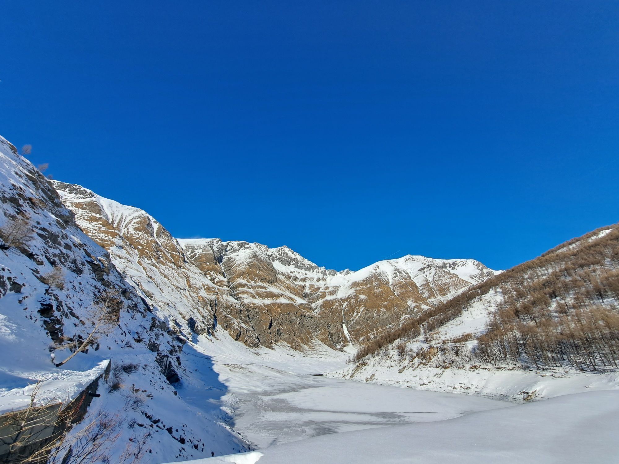
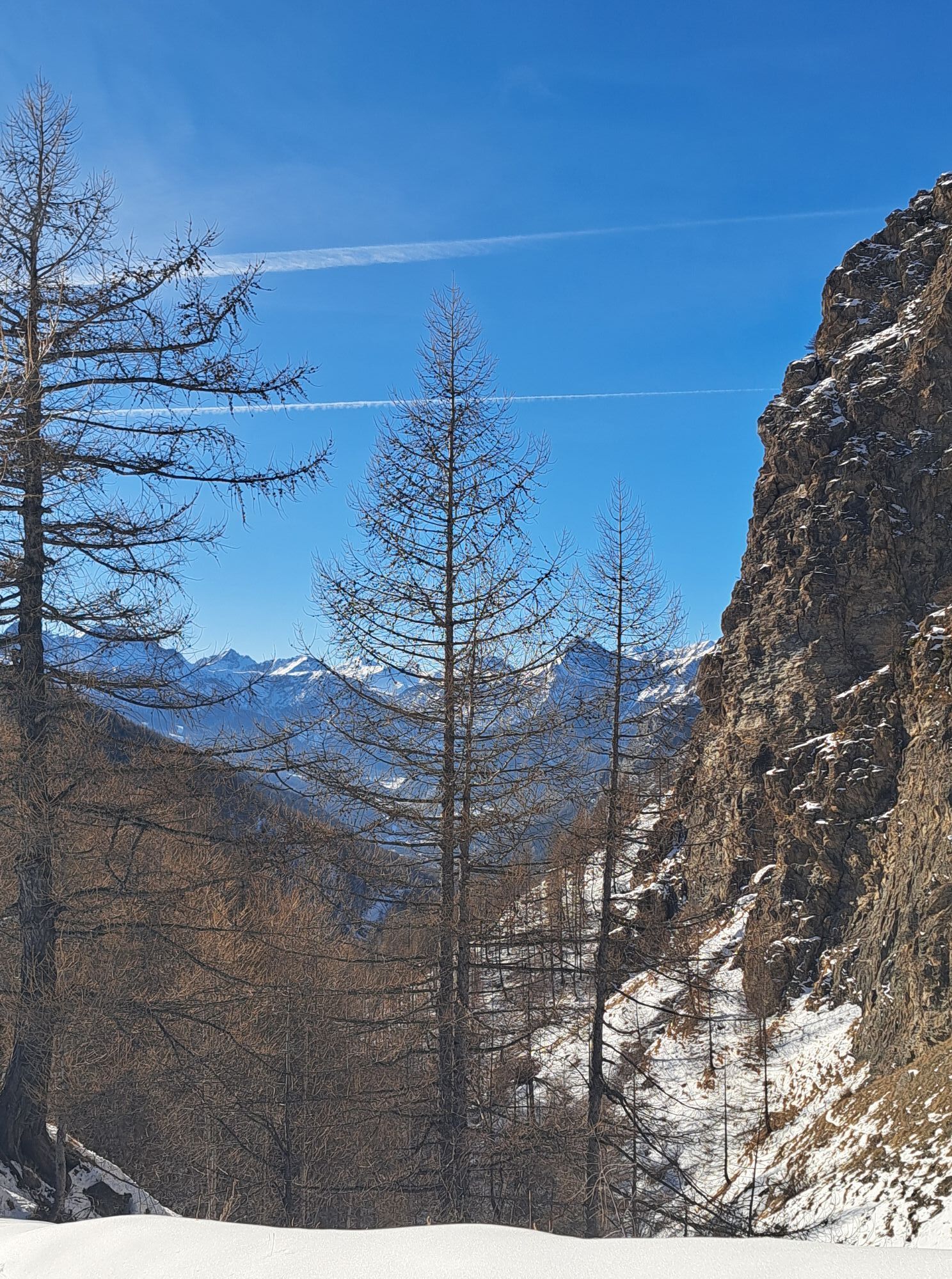

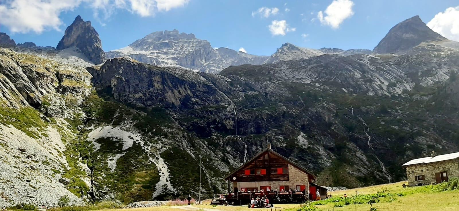
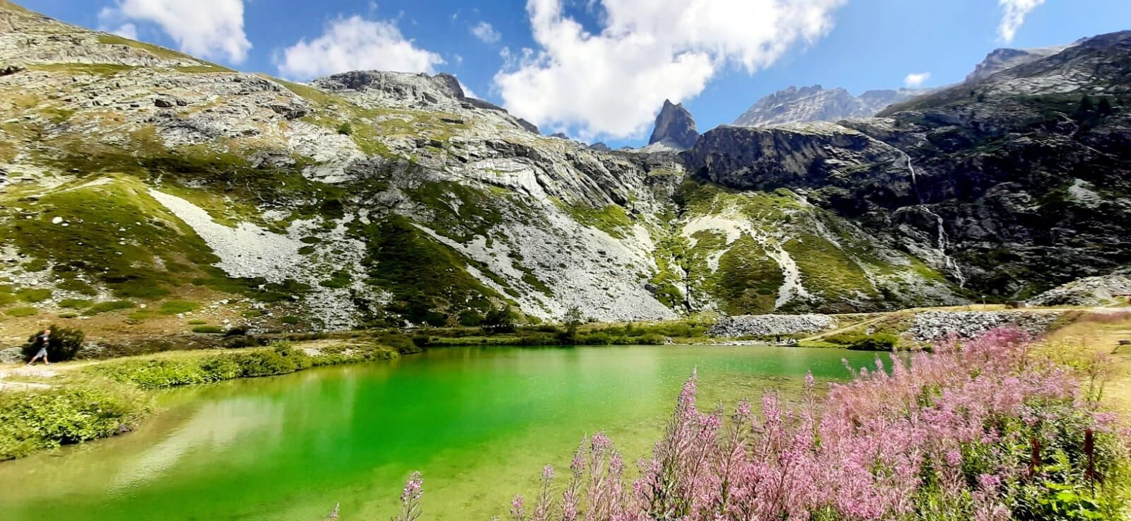
The route goes into the Rochemolles Valley, initially cutting some hairpin bends of the dirt road, then continuing along the stream, climbing the dam wall, skirting the dam and reaching the plateau of...
The route goes into the Rochemolles Valley, initially cutting some hairpin bends of the dirt road, then continuing along the stream, climbing the dam wall, skirting the dam and reaching the plateau of the Scarfiotti Refuge
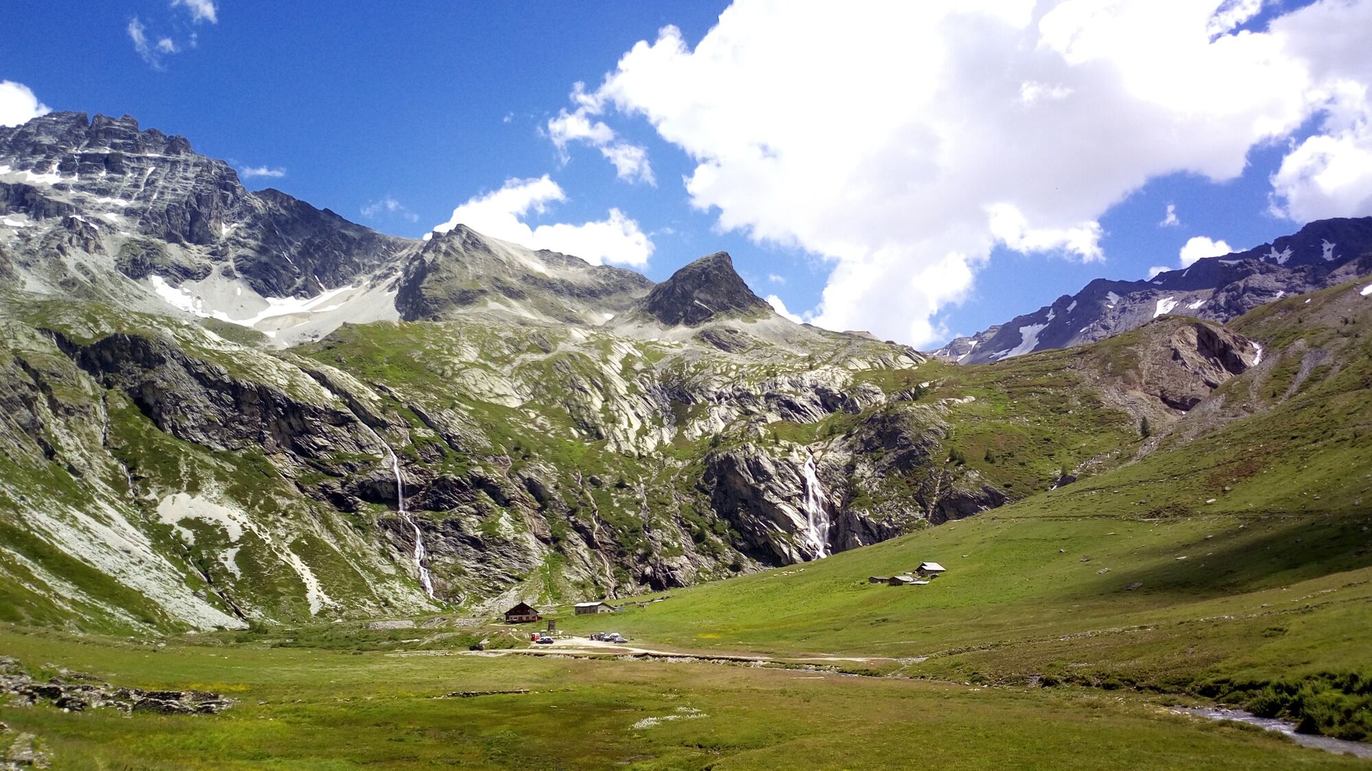
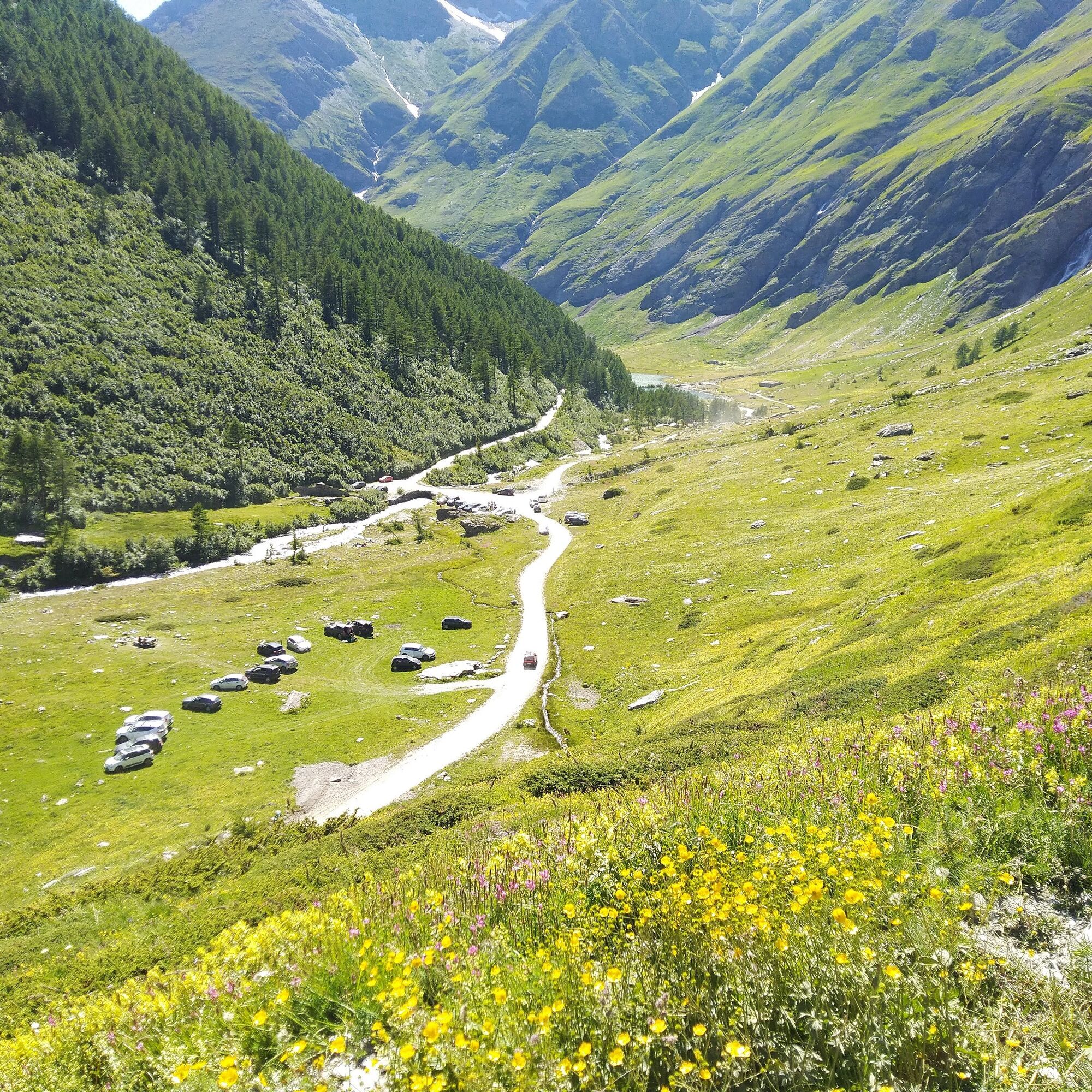
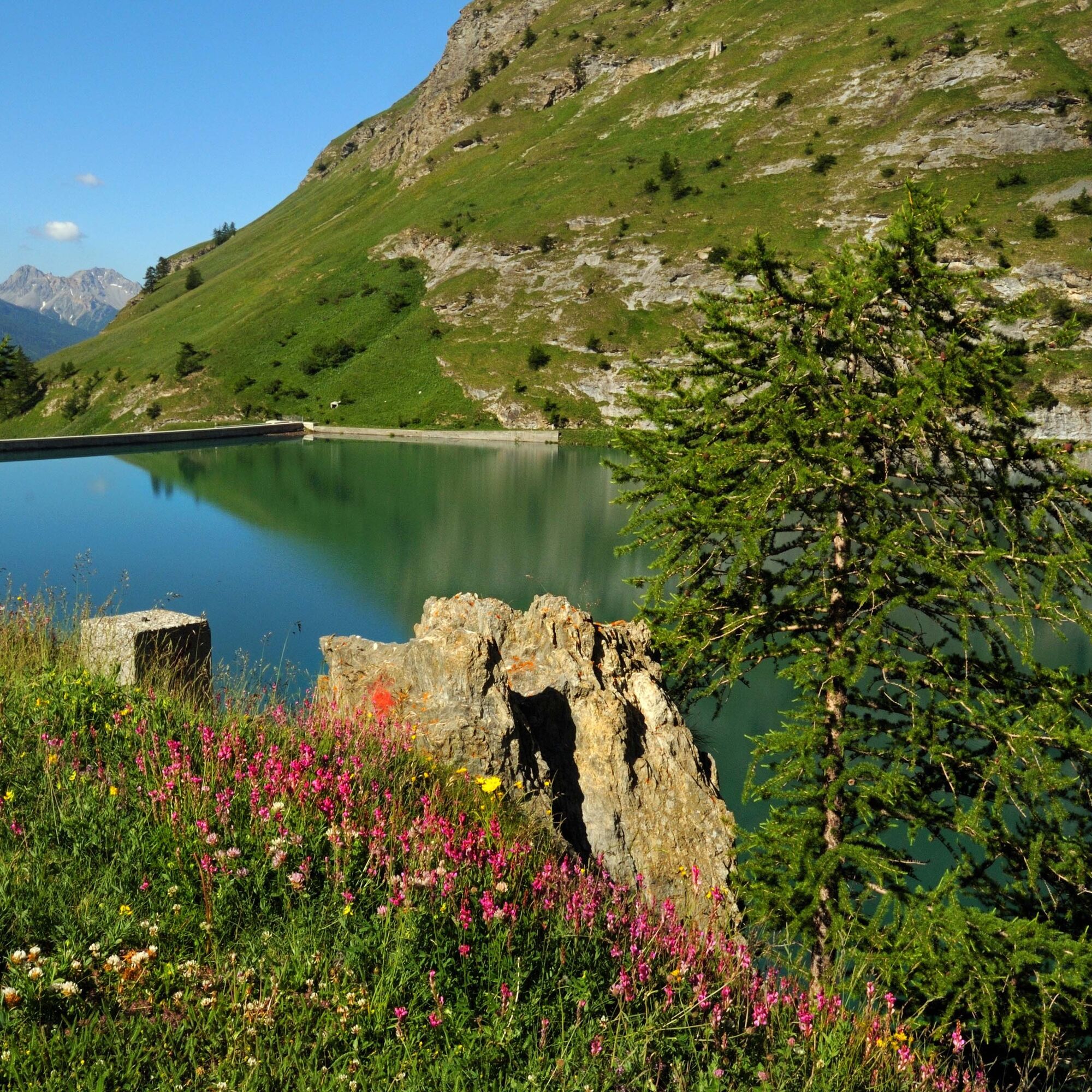
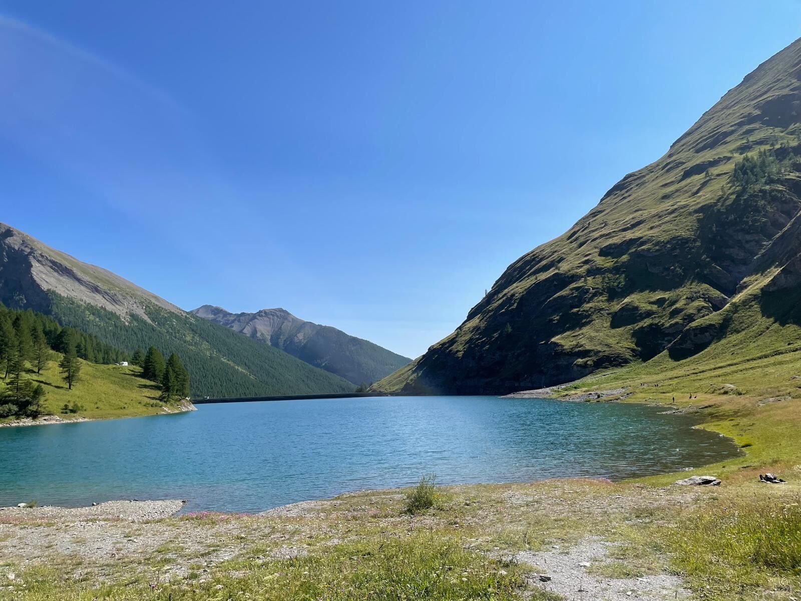
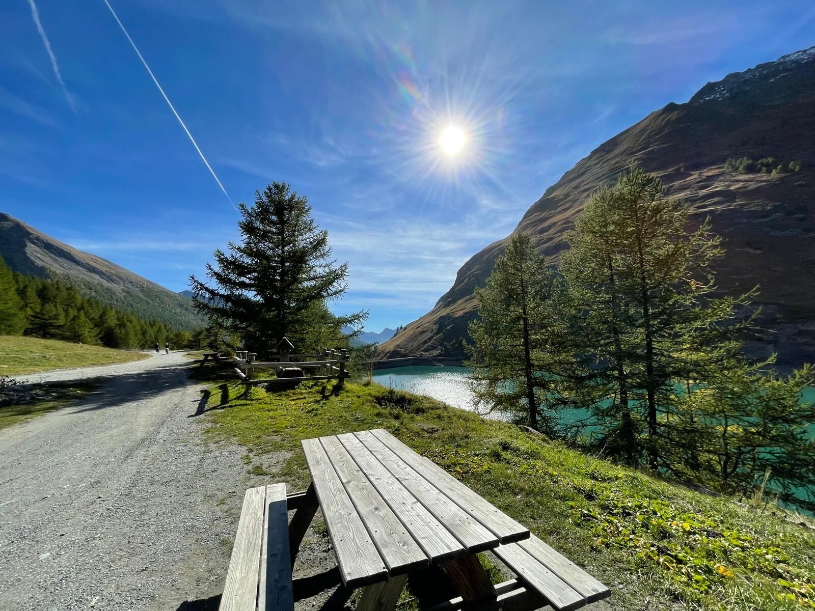
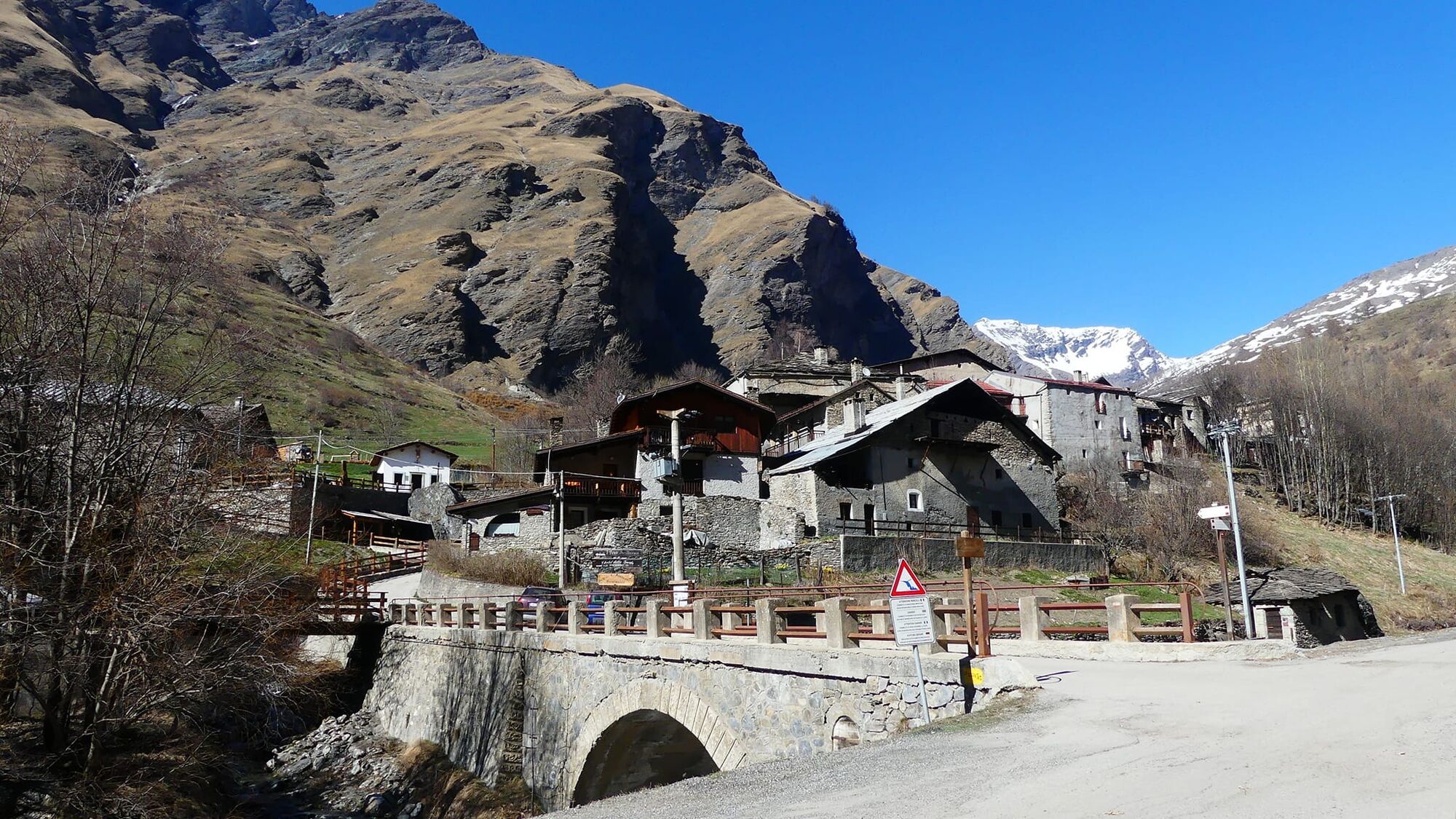
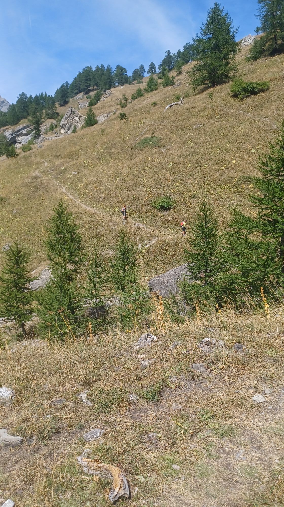
From Bardonecchia reach by car (in summer with the free shuttle) the hamlet of Rochemolles. Walk on the asphalt until the San Rocco Chapel and take the path on the right. At the first crossroad with the road continue straight on the path; at the next one take the dirt road uphill until you reach the hairpin bend where the marked route to the dam begins. Follow the path to the Pra Lavin votive pillar, continue to the stream and cross it paying attention during periods of high water. Climb to the left towards the Grange Serre located just before the dam. Follow the left side of the basin to the Alpini Monument in Picreaux locality. Continue along the path that runs alongside and occasionally crosses the carriageable road to the Scarfiotti Refuge.
Hiking shoes
During periods of high water pay attention when crossing the Rochemolles Stream
By car:
- A32 Motorway Turin - Bardonecchia, Bardonecchia exit
- State Road 24: Turin - Oulx and then State Road 335: Oulx - Bardonecchia
Once you reach Bardonecchia take the provincial road 235 and reach the hamlet of Rochemolles (6 km)
By train:
- line Turin Porta Nuova - Bardonecchia
Once you reach Bardonecchia, in summer, from Via Torino (100 m from the train station) take the free shuttle Line 6 to the hamlet of Rochemolles.
To know the shuttle schedules click here.
In Rochemolles there is a parking lot at the entrance of the village and one above the inhabited area
T2
Enjoy a typical dish or relax in the sun on the terrace of the Scarfiotti Refuge.
Obľúbené výlety v okolí
-
4,5
BARDONECCHIA Pian del Colle - Valle Stretta
strednáSnežnice 5,02 km -
5,0
BARDONECCHIA Colle Sommeiller
strednáMountainbike 25,4 km -
5,0
BARDONECCHIA Green Lake
svetloTuristika 2,14 km -
5,0
BARDONECCHIA Forte Jafferau Loop
ťažkéMountainbike 36,8 km -
4,5
BARDONECCHIA Walter Bonatti Path - Grange della Rho
strednáTuristika 6,06 km -
5,0
BARDONECCHIA Col des Acles - Passo della Mulattiera
strednáTuristika 6,23 km -
BARDONECCHIA Lago Verde
svetloMountainbike 10,7 km -
BARDONECCHIA Monte Jafferau
ťažkéTuristika 11,6 km -
4,0
BARDONECCHIA Sentiero dei Cosetti by Luciano Ferraris
svetloTuristika 3,24 km -
4,0
BARDONECCHIA Lucianina Path - Grange di Valle Stretta
strednáTuristika 5,18 km

Turistika a stopovanie


Nenechajte si ujsť ponuky a inšpiráciu na ďalšiu dovolenku
Vaša e-mailová adresa bol pridaný do poštového zoznamu.